Driving as far south as latitude 23 (Part one)
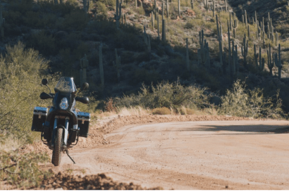
Riding LAB2V the Hard Way: The GS and The Huskey
Triumph and carnage share trail in the desert.
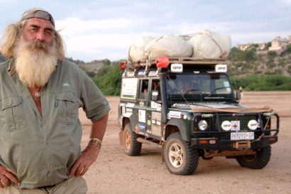
Drive Nacho Drive: The Cost to Drive Around the World
How much does it cost to spend three years driving around the world?
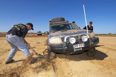
Tracing Australia’s Remote Qld/NT Border
Ron Moon and a party of modern-day adventurers follow the remote Northern Territory/Queensland border from the desert to the sea.
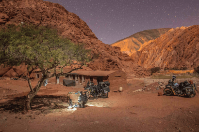
Purmamarca, an argument with altitude and fabulous Fatima
Lisa and Jason of Two Wheeled Nomad explore the remote corners of South America.
Vanajeros: Of High Hopes and Busted Engines
As the popular adage goes, “It’s not an adventure until your plans go out the window.”
Our favorite Stories of 2014
We revisit our favorite yarns and interviews of the last year.
From the Southern Mountains to the Silver City of Potosi
Monica Yeoman of Songbike gives us a rare glimpse of life on the road in Bolivia.
The Overland International Team reflects on 2014
The last year in pictures. What a year it was.
Ride and Wander: The Apache Trail on a KTM 990
Looking for a good winter escape? Nick Johnson found a great one in Arizona.
A Southern California Adventure (Part II)
We leave the Pacific coast behind and head out in search of dust, deserts, and ruins.
Video of the Day: Treeline Outdoors and Andy’s Adventure
10,000 miles and three weeks of living atop his Jeep, Andy’s video journal of his trip is breathtaking.
A Southern California Adventure (Part I)
Sometimes excellent food, a paid campsite, and a beautiful beach is just what the doctor ordered.
36 Hours of Adventure: Cerbat Mountains
Nestled right smack in the middle of nowhere, the Cerbat Mountains tower over the eastern edge of the Mojave.
SOS: The Full Report – Part One
This story will realign your prior feelings about the inconvenience of a simple flat tire.
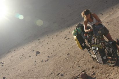
Two Wheeled Nomad: A Jewel in Atacama’s Crown
Traveling the extreme expanse of the Atacama.
November Wallpaper
Mario Donovan of AT Overland explores one of the many tributaries of the Mojave Road in California’s Mojave Desert.
Getting Involved in Your Community
We head out for a day of fun with Yavapai County Big Brothers Big Sisters
Loki the Big Green Steyr Tackles the Globe
Adventurers Astrid and Sven are on their way to circle the globe in their 1976 Steyr 680.
Destinations: Harquahala Mountain
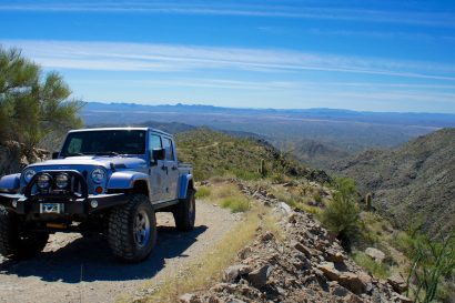
Bouncing along this back country byway, you can witness some of the best views the desert has to offer.


