
Knowing Where You Can Legally Overland is Half the Battle
There are times that even 36 hours of adventure seems impossible to schedule, the realities of daily life, family, and work responsibilities compounding. Sometimes just a few hours is all we have, or as a side trip during a work obligation. While it will be a stretch to call that overlanding (in the traditional sense), it is worthwhile nonetheless. One of the challenges I find when trying to steal away a few hours of exploration or fun on the trail is that it can be difficult to know where to go, or if the trail we find is even open or rated for vehicle travel. This is what led me to onX Off Road, and their onX offroad gps map app available for Android devices that layers trail status and route designation data over topo, satellite, and hybrid map layers. After downloading, I spent the $30 for a year’s access to their land allocation and map layers.

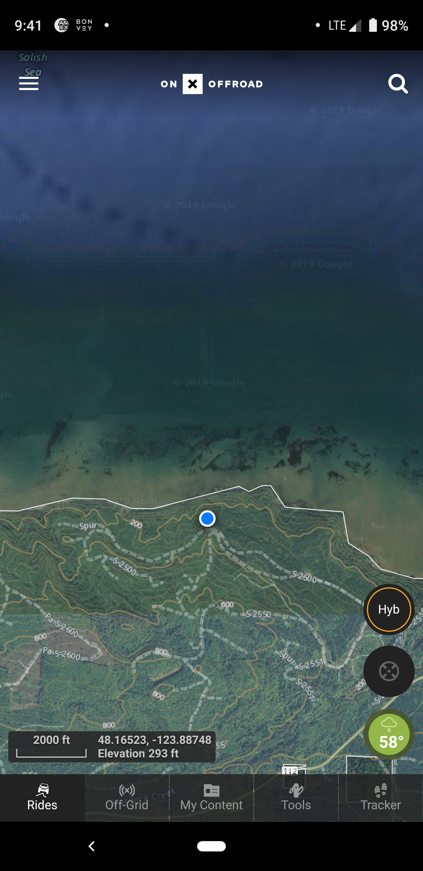
These two screenshots show the variety of areas and base maps, the left being the Perkinsville Road track in Arizona, and the right the northern end of the Olympic Peninsula in Washington.
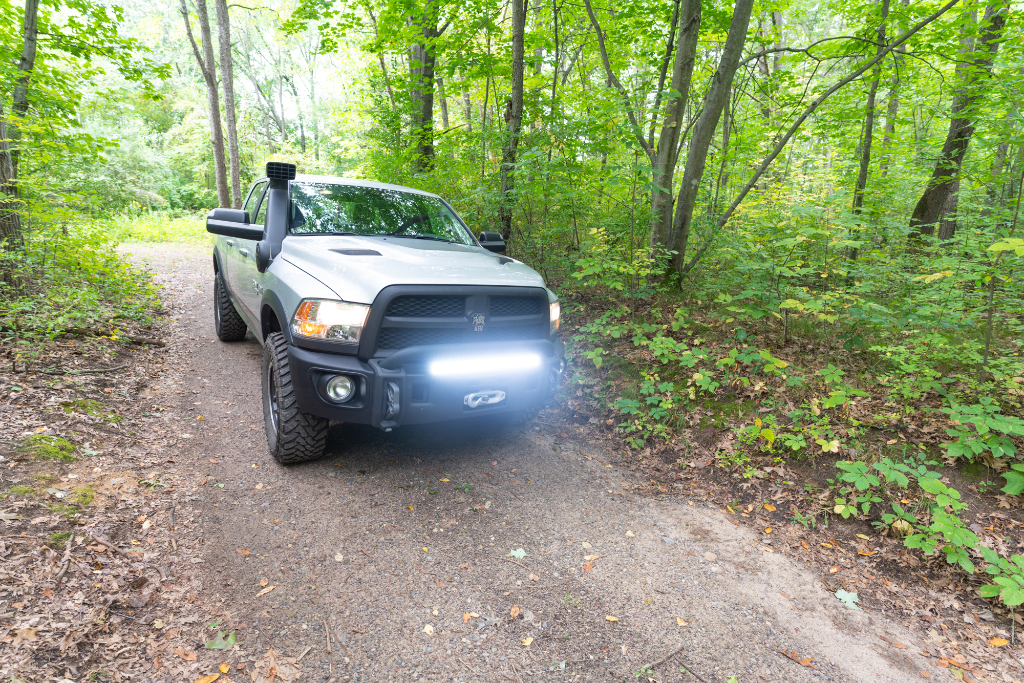
Instead of just doing a standard test, I decided to plan a series of short adventures, and even a few impromptu forays while using only the onX database and app for navigation and planning. What I found unique was that I immediately started to look at the trips differently, searching instead for more challenging tracks. The app highlights routes based upon “Rides,” which can be dirt bike trails, 50” Trails, high clearance 4×4 trails, or full-width roads. It also shows main roads, highways, and improved dirt roads too, which allows for stitching together a longer route. For those of us fortunate to live in the West, we are lucky to have ample access to public land, often on tracks that can be driven for hours or days without crossing a paved road or seeing a gas station. In the East, that is more difficult, which brought me to Michigan, and a few days for driving an AEV RAM to the Upper Peninsula, and even in a few State Game Areas.
 Initial Testing: Arizona
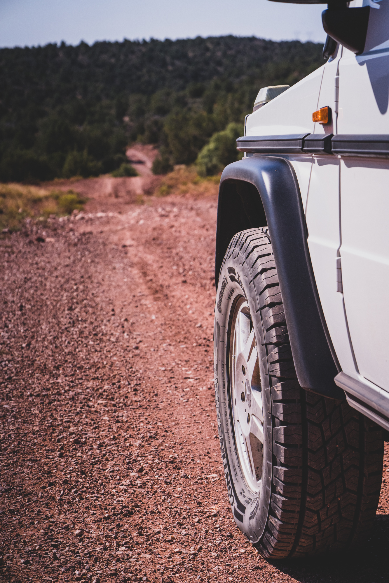
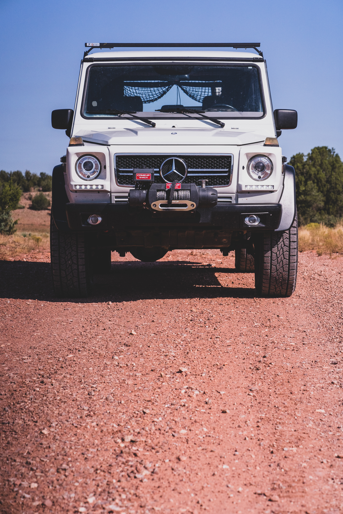
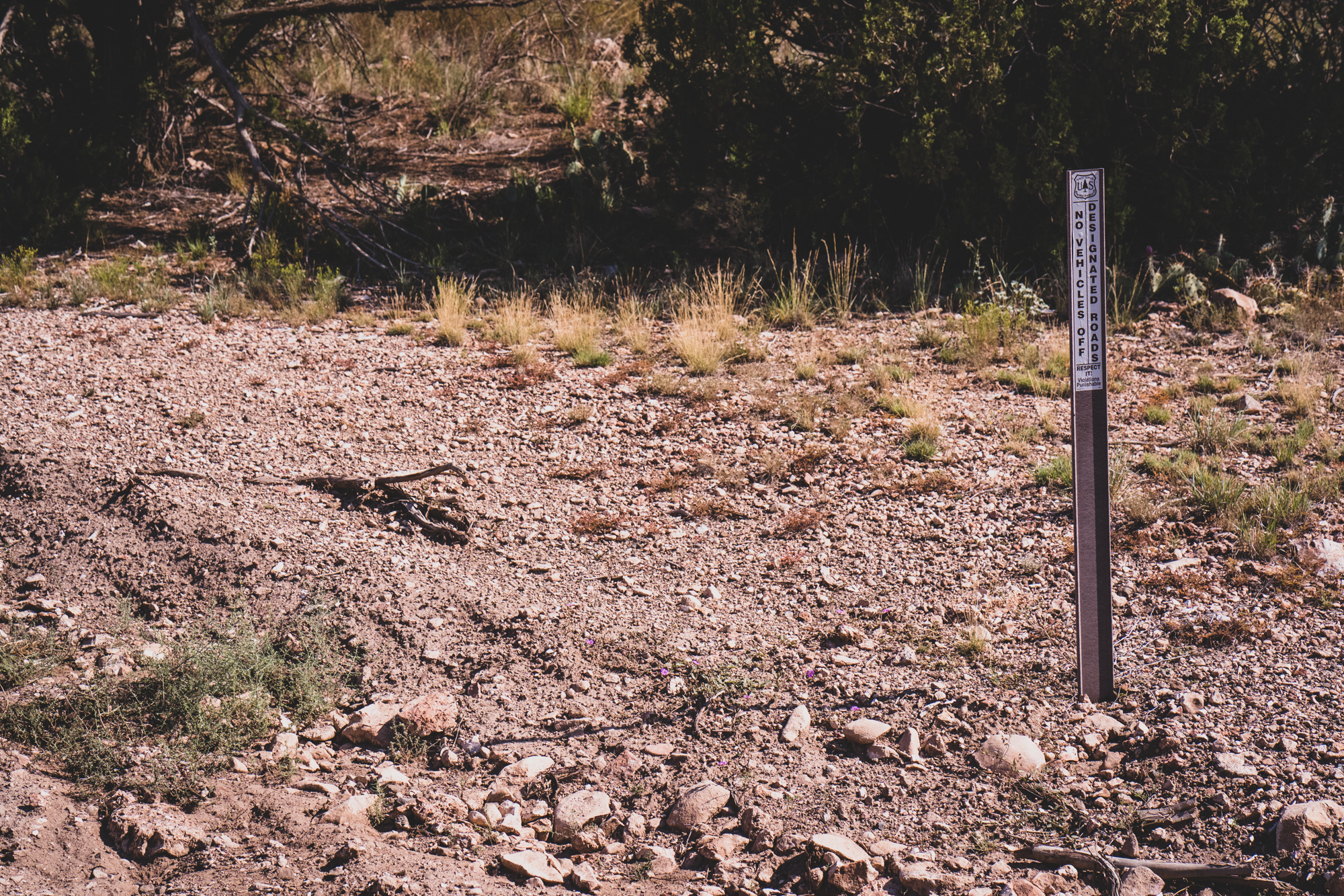
I wanted to trial the application prior to the Michigan trip, so I filled the G-Wagen with fuel and grabbed basic supplies, an atlas, and an emergency messenger. Spending a few minutes with the app, I was able to download several map tiles, which allow for off-line (out of cell coverage) access to topo maps and data layers. This also gave me a chance to check for State Trust Land, which can require a permit to enter. The other issue with State Trust Land is that it is not always properly signed, as the placarding is often damaged or torn down by frustrated locals. Ignorance being no excuse for the law, being able to see where access issues exist can help save an expensive ticket.

I was also amazed by how much private land dotted my route, and even Native Lands that formed a patchwork of BLM, private, native, state, and forest service designations. With my route planned, I set off for the town of Jerome via the old Perkinsville Road and hopefully, a new track that would be even more remote and challenging.
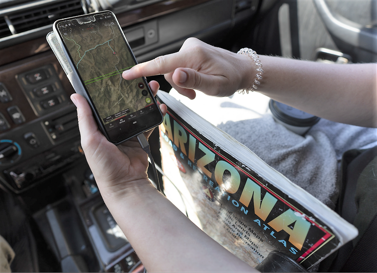
Erin operated the app while I drove, and she found the interface to be intuitive for both navigating and planning.
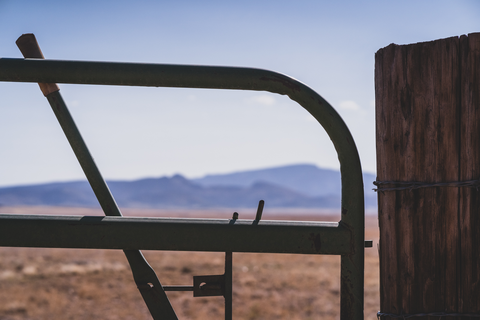
After a few miles on dirt, Chino Valley was distant in my rearview mirror and the grasslands were giving way to low hills spotted with pine and juniper. The app clearly showed this road as an easement through State Trust and then private landholdings. There were some ranches, and even a Buddhist temple (called the Garchen Institute, worth the stop for the cultural experience alone). After a few more miles, I crossed a cattle guard, and the land designation changed again, this time to Prescott National Forest.
With that, the opportunities for exploration expanded considerably, and I began taking various side tracks and trails. One was looking very promising, and on my paper topo (7.5 minutes) it showed that it went all the way through. The onX app showed that it dead-ended at a livestock tank, and it was right. There was a clear usage sign saying “No Motor Vehicles Beyond This Sign.” I backtracked the two to three miles to Perkinsville Road, but it was still worth the detour, as I found several nice camp spots along the way. Ultimately, I ended up in Jerome, but not before noting all of the private mine claims dotting the side of the track.
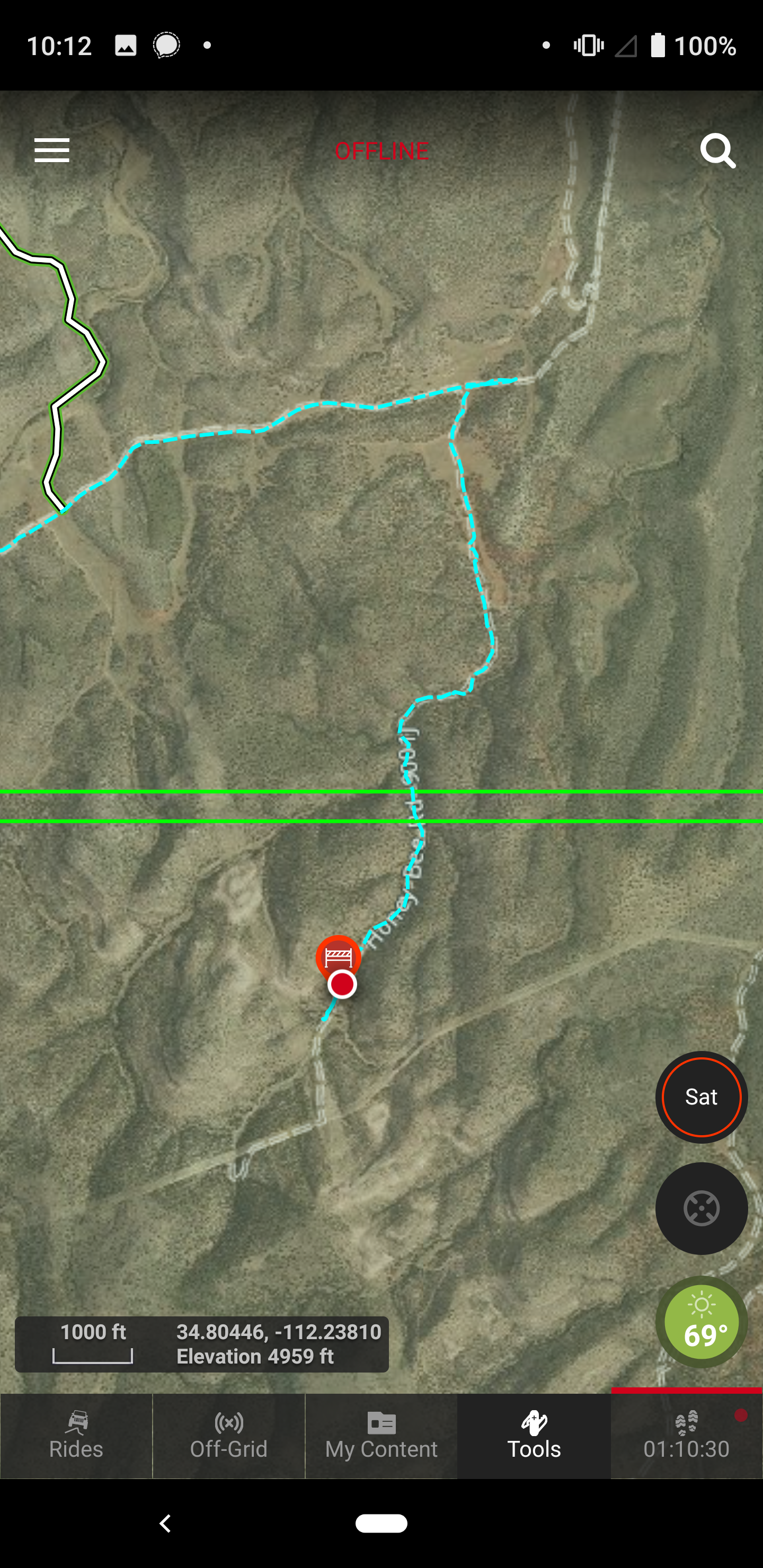
These two screenshots show the range of base map options, including satellite images. I was able to annotate the map with the road closed sign.
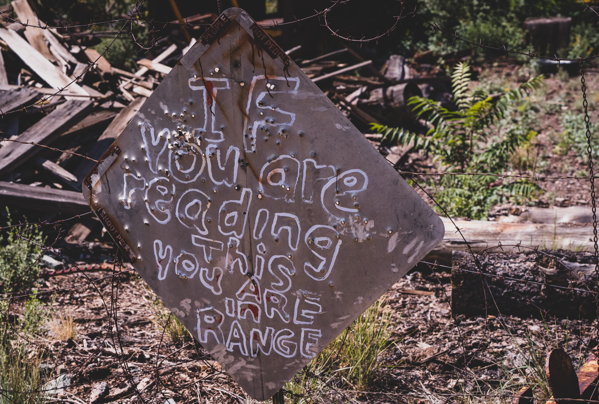
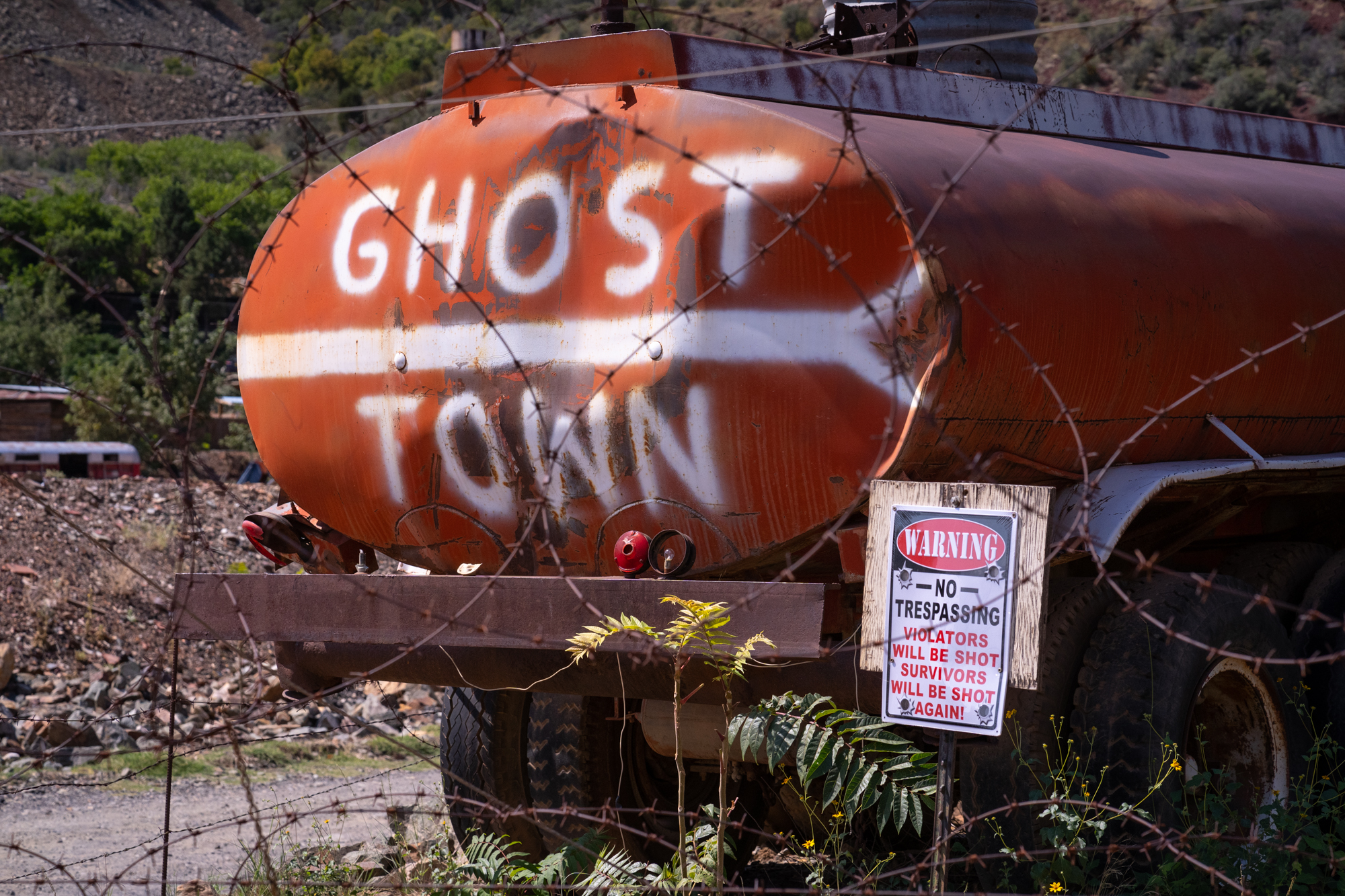
It is surprising how many of the places we explore are a mix of public and private lands, including this area near Jerome. Despite the threatening sign, I was standing on a public road easement.
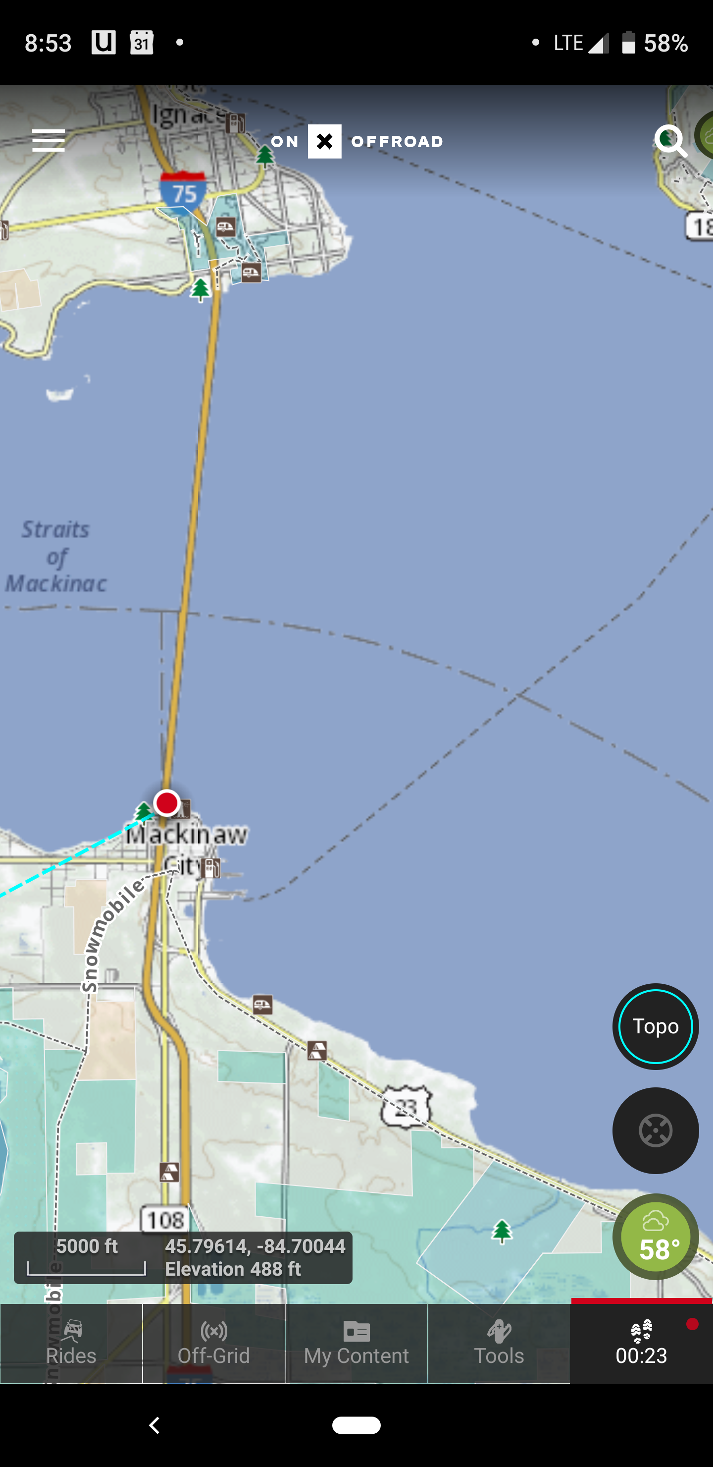
North to Mackinac, Michigan
My next test of the onX came in Michigan, and an attempt to find a few places to explore during a trip to the state. I had an American Expedition Vehicles-outfitted Ram 1500 and a few days to kill between other (more familial) obligations. One of the areas we had planned to visit was the Upper Peninsula, Mackinac City, and Mackinac Island. The first stop was St. Ignace, which was beautiful to drive around and even included the requisite pastie for dinner. However, there were not many trails in the immediate area, as one quick look at the onX app would show. Going back south over the Mackinac Bridge (one of the longest suspension bridges in the world), I could see Mackinac Island to the east and looked forward to our next day there. Even on an island without cars (only bikes and horses are allowed), I still used the app to follow the established hiking trails.
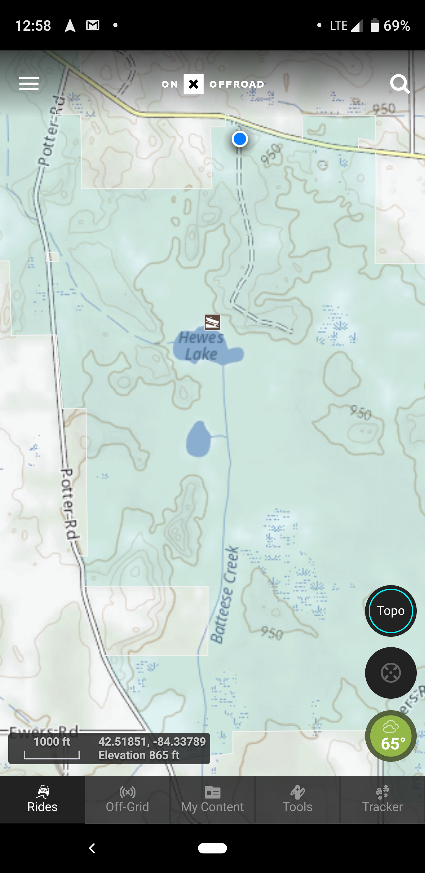
Back in southern Michigan, I again found myself with a free morning to explore before heading to the airport. Would there be any natural areas to drive so close to Detroit? I checked the app in Topo mode and found a small section of State Hunting Land southeast of Lansing, and headed off to see if we could find some dirt and maybe access to a lake with waterfowl. Within 30 minutes, I was turning onto a dirt two-track and meandering along a tree-lined trail, the sun barely breaking through the canopy. It wasn’t a challenging road, but it was beautiful and rewarded with a short hike to Hewes Lake, a several-acre body of water covered in lily pads, the shore a combination of tall grass and willows. Walking up to the water’s edge, I spooked a flock of geese, who took to the air in a flurry of splashing water and wings. While this was not the ultimate remote overland trip, it was thoroughly enjoyable nonetheless, and a reminder that adventure is almost always close at hand—if you know where to go. To learn more about the onX offroad gps map app, check them out at onxmaps.com
