This story has been generously donated by the Explore Desert team. To read part 1, check out their original article here. To see their other adventures, check out their website here.
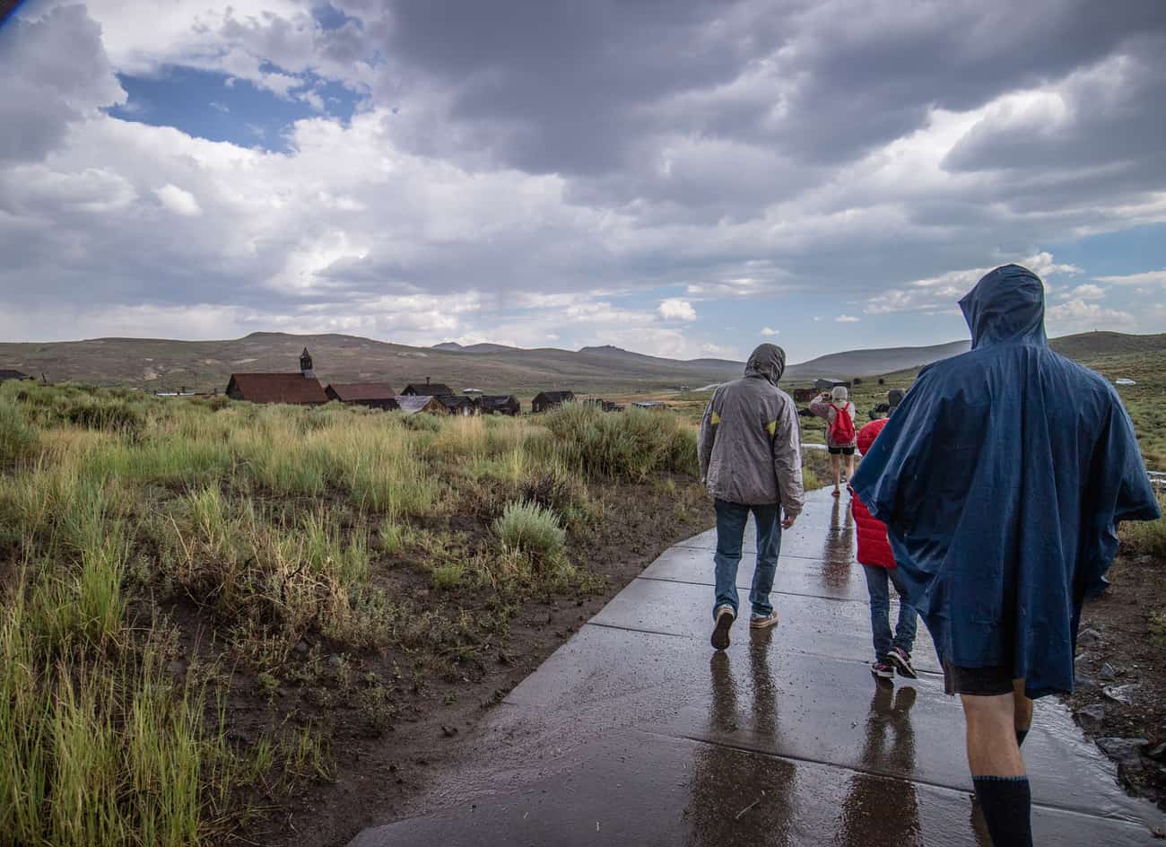
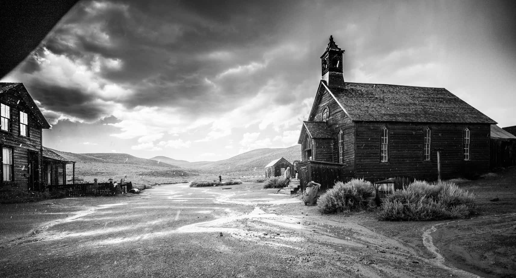
Even with the thunderous weather the main parking lot was nearly full and a few brave souls were out walking around. The odds of getting struck by lightning and enjoying a nearly empty ghost town was a risk we were willing to take so we suited up and enjoyed the creepy ambiance.
We got lost within Bodie – more time was spent among the relics then was originally intended. It’s one of those places where the more you look the more you find. Every building and section of the town had something new and interesting that captivated us. What a time to be alive! Old mining equipment that’s considered a thing of the past was once the latest and greatest. Empty streets were once bustling with people of all ages. The booming sound from the clouds would have instead originated from the giant mill rested against the mountainside. If time travel were possible, I’d absolutely love to come visit a town like this back at it’s peak to talk, experience and live the life people once did.


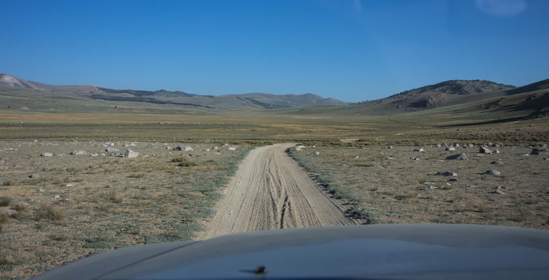
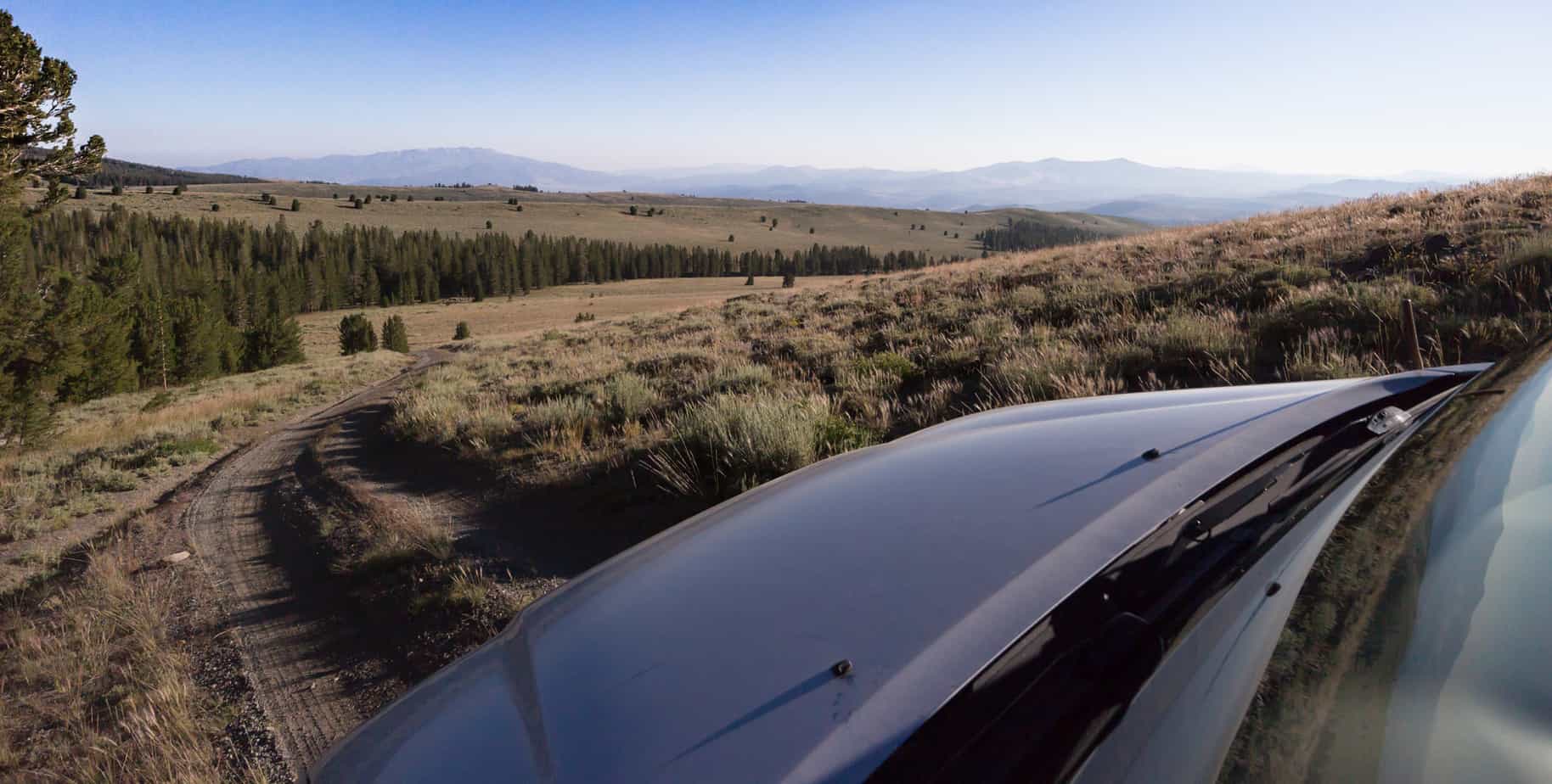
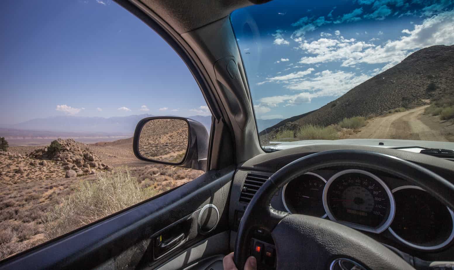
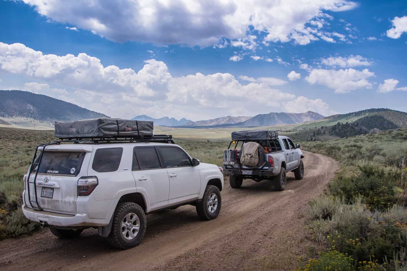
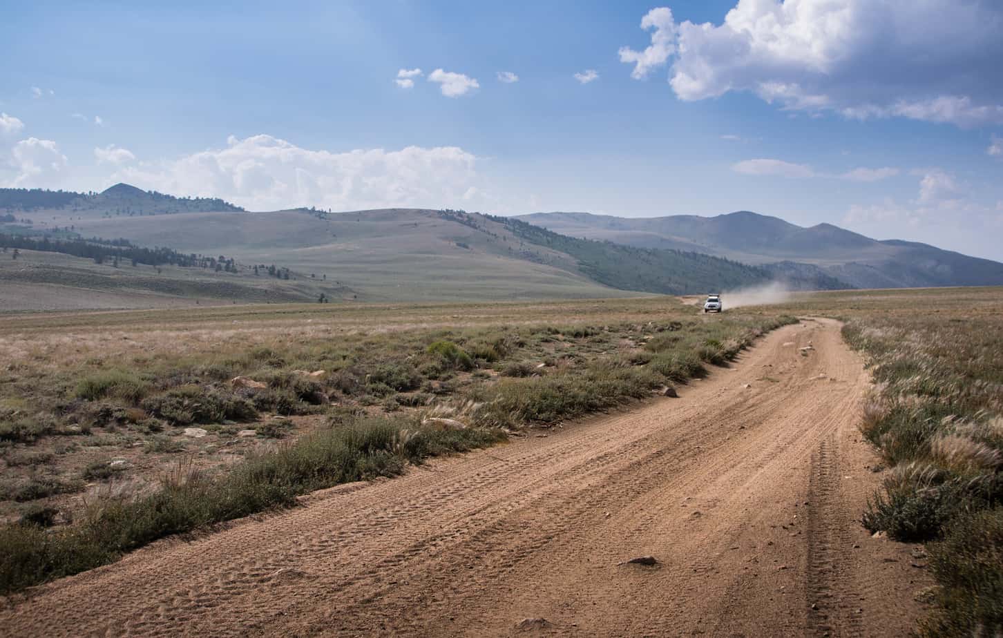
Our extended stay meant we’d have to cut our trip through the Bodie Hills to Mosonic Mountain and the Chemung mine short, but I think it was a worthy trade-off. Even still, hopping onto pavement because it’s “easier” is never an option for us, so a detour would still give us a taste of the remaining route. Couldn’t have hit the trail at a better time! The rains left the dirt in the perfect state of being wet enough to keep down the dust, but dry enough to not make mud. Needless to say, we made really, really, REALLY good time to our turn off point – Aurora Canyon.
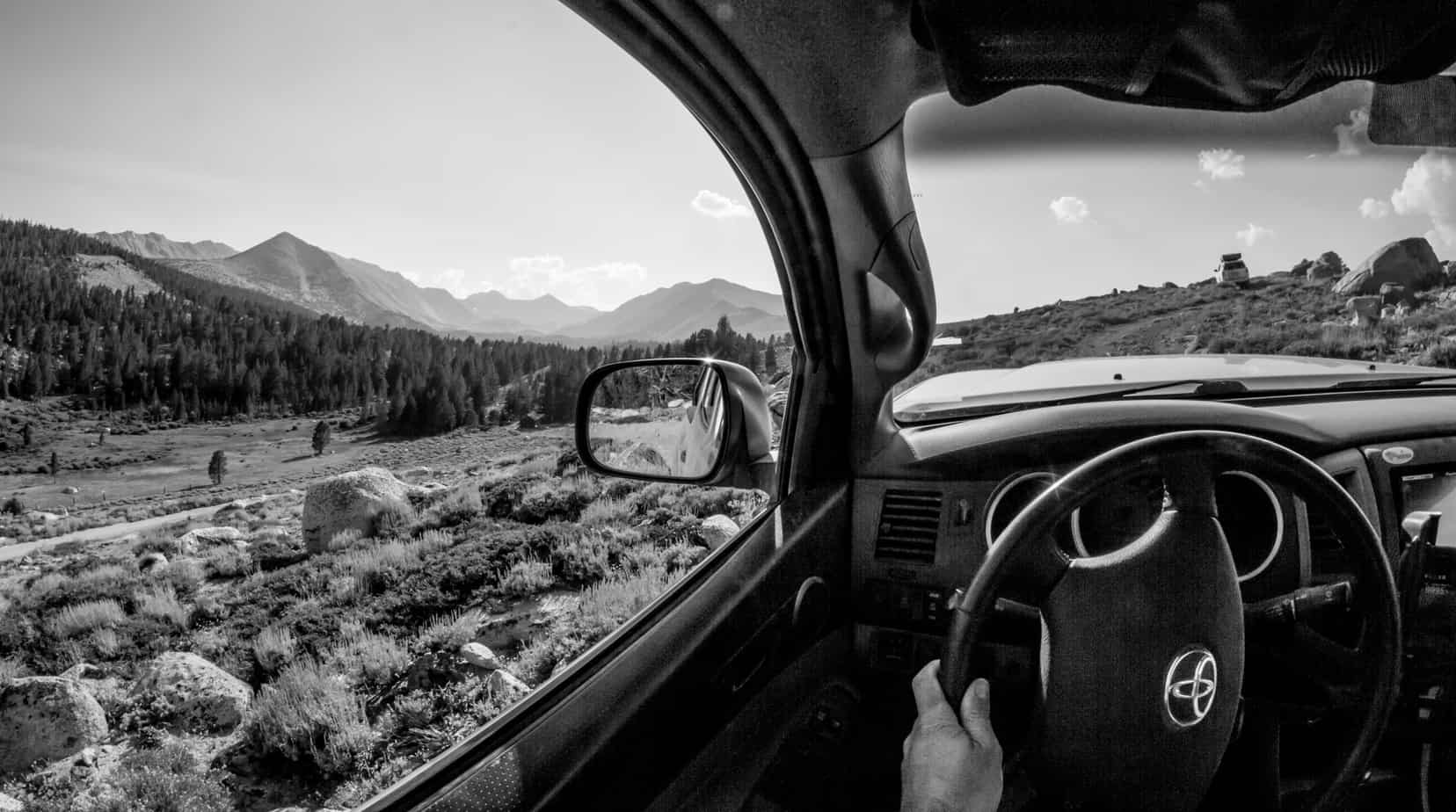
No time for fancy pictures as we were getting tired, hungry and racing the clock against the sun. Also, too much fun driving.
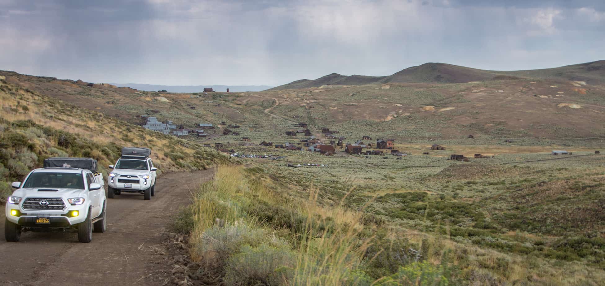

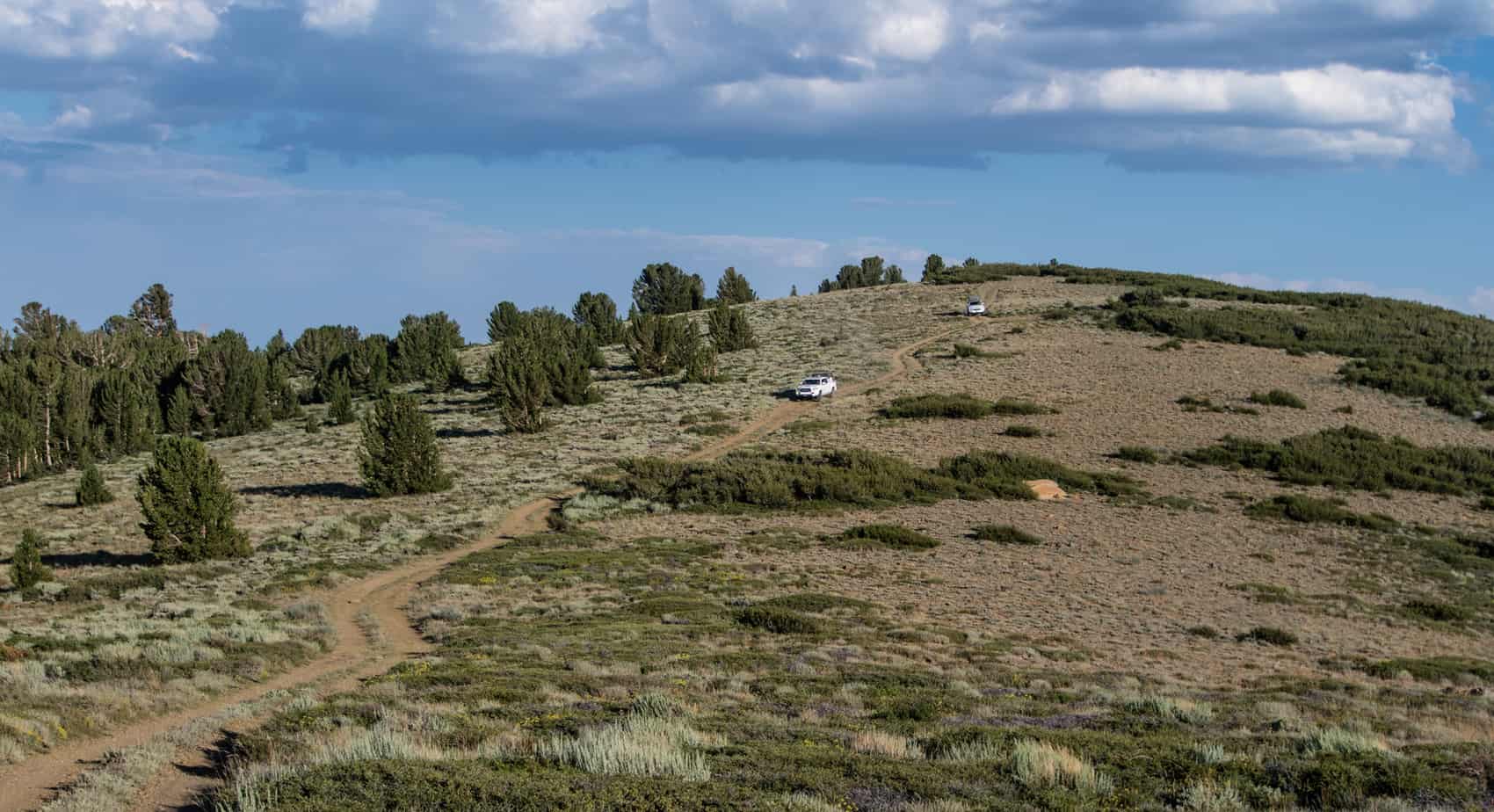
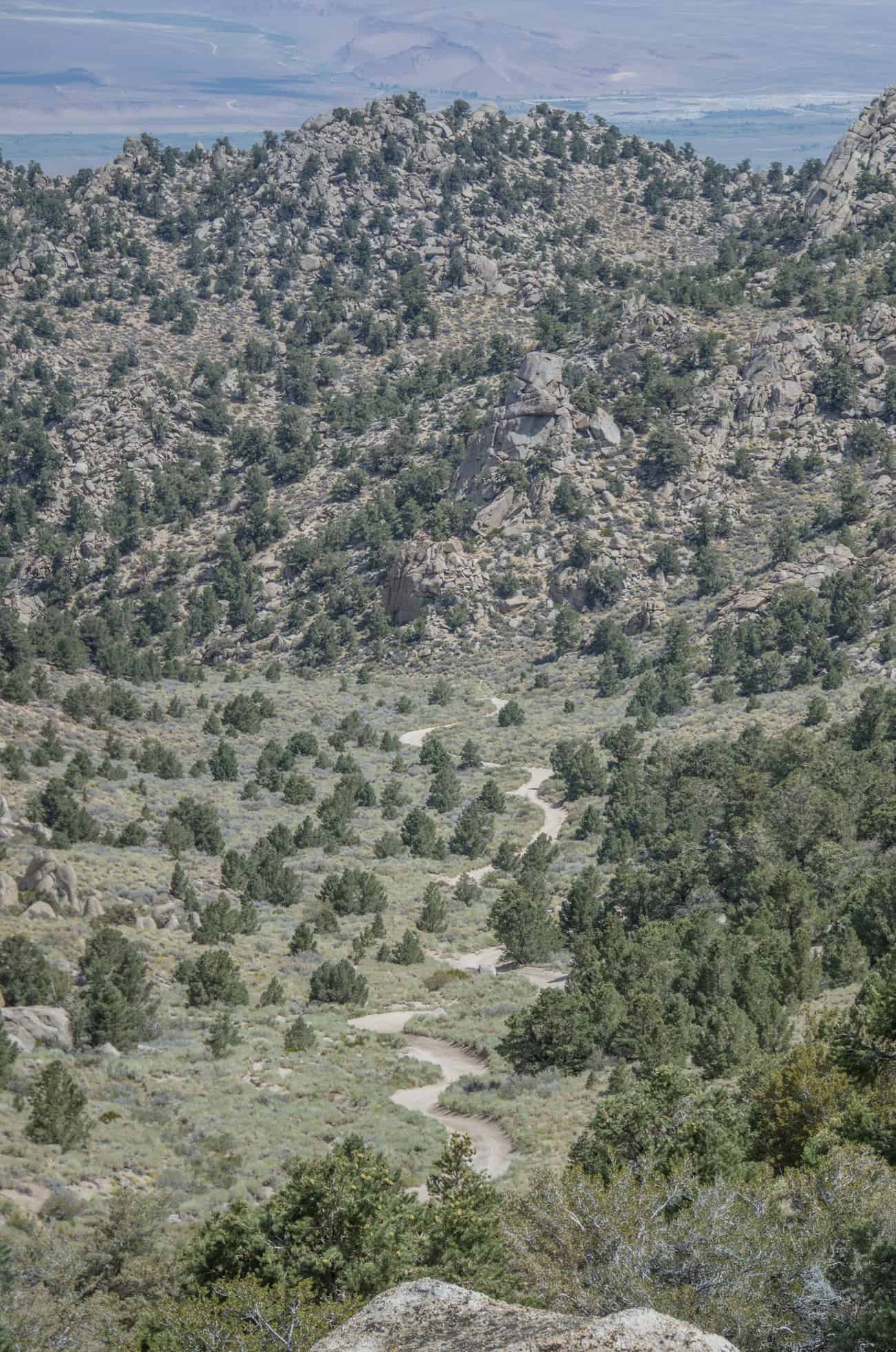
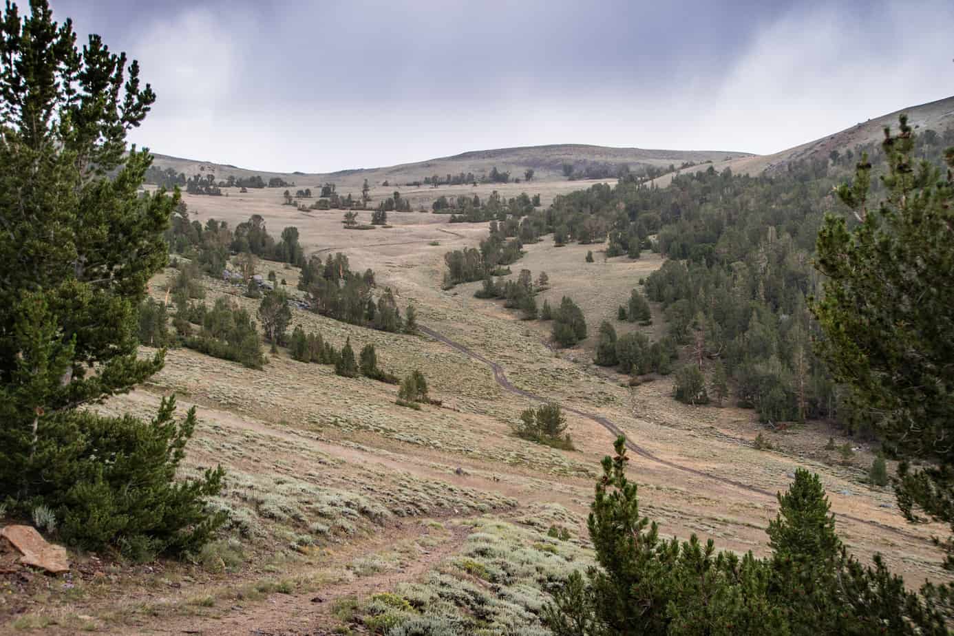
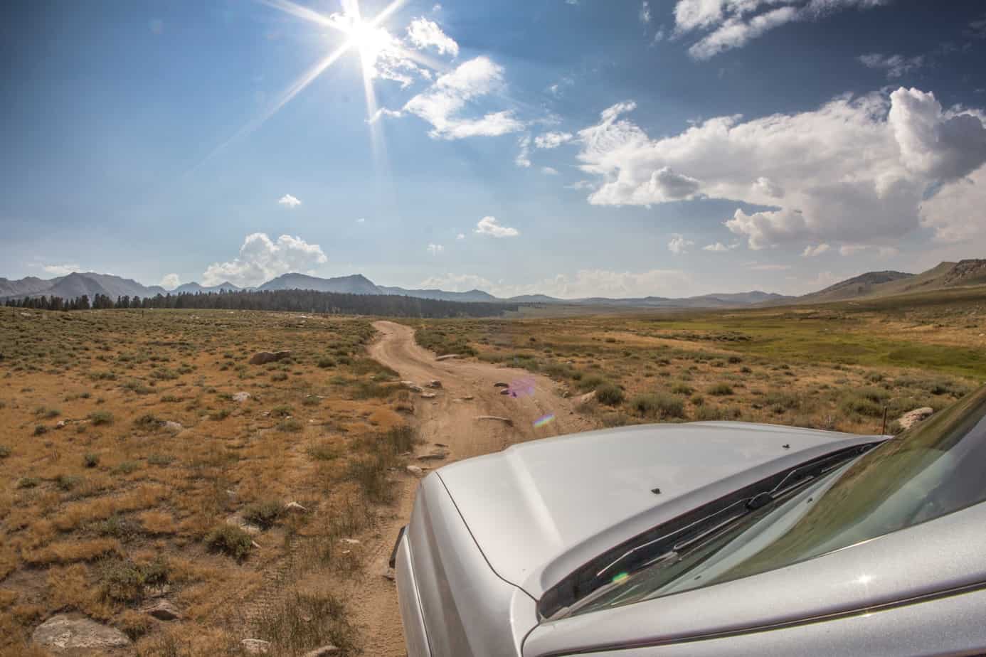
Quick stop at Bodie Masonic Rd and Aurora Canyon intersection. This is looking down towards Bridgeport.

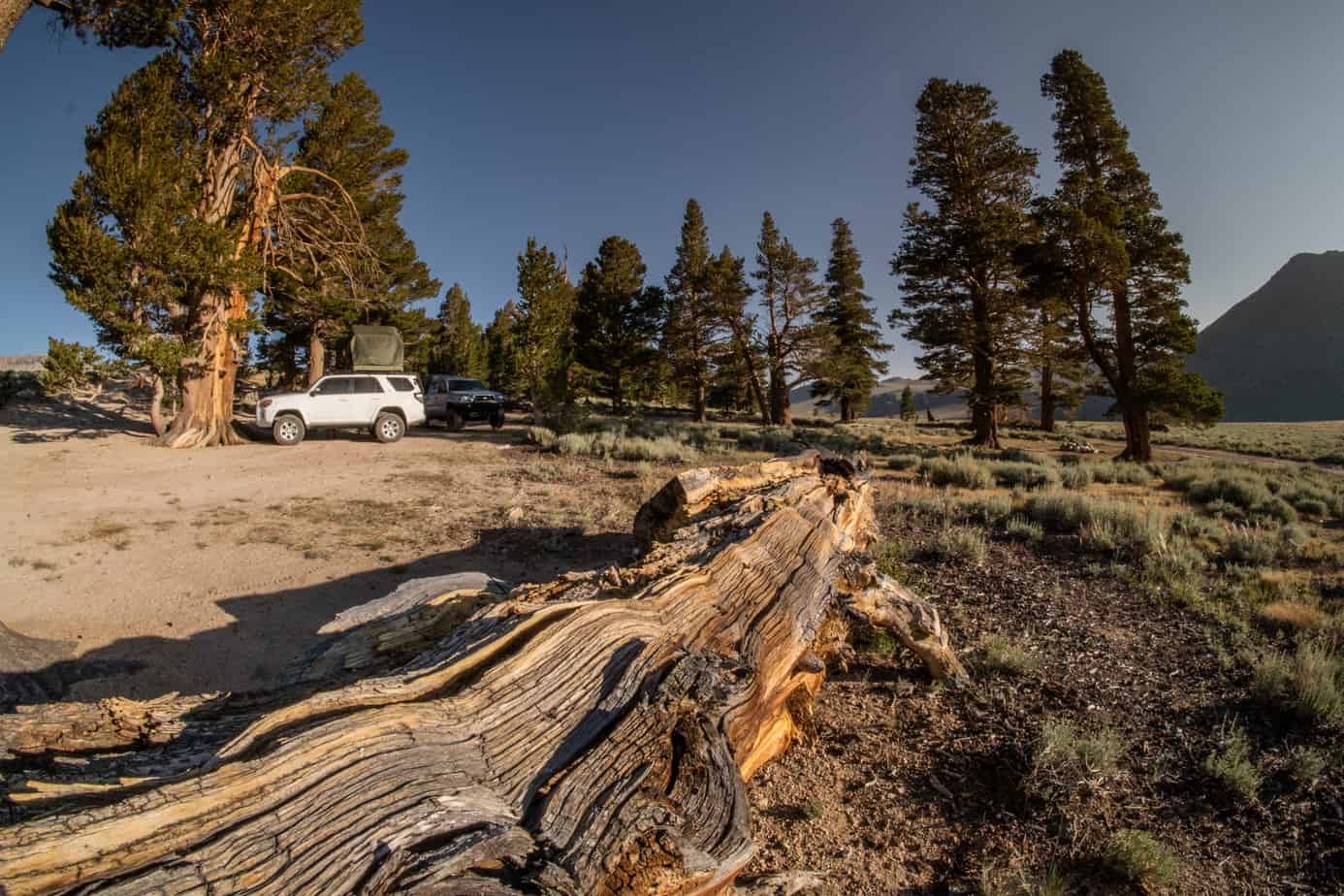
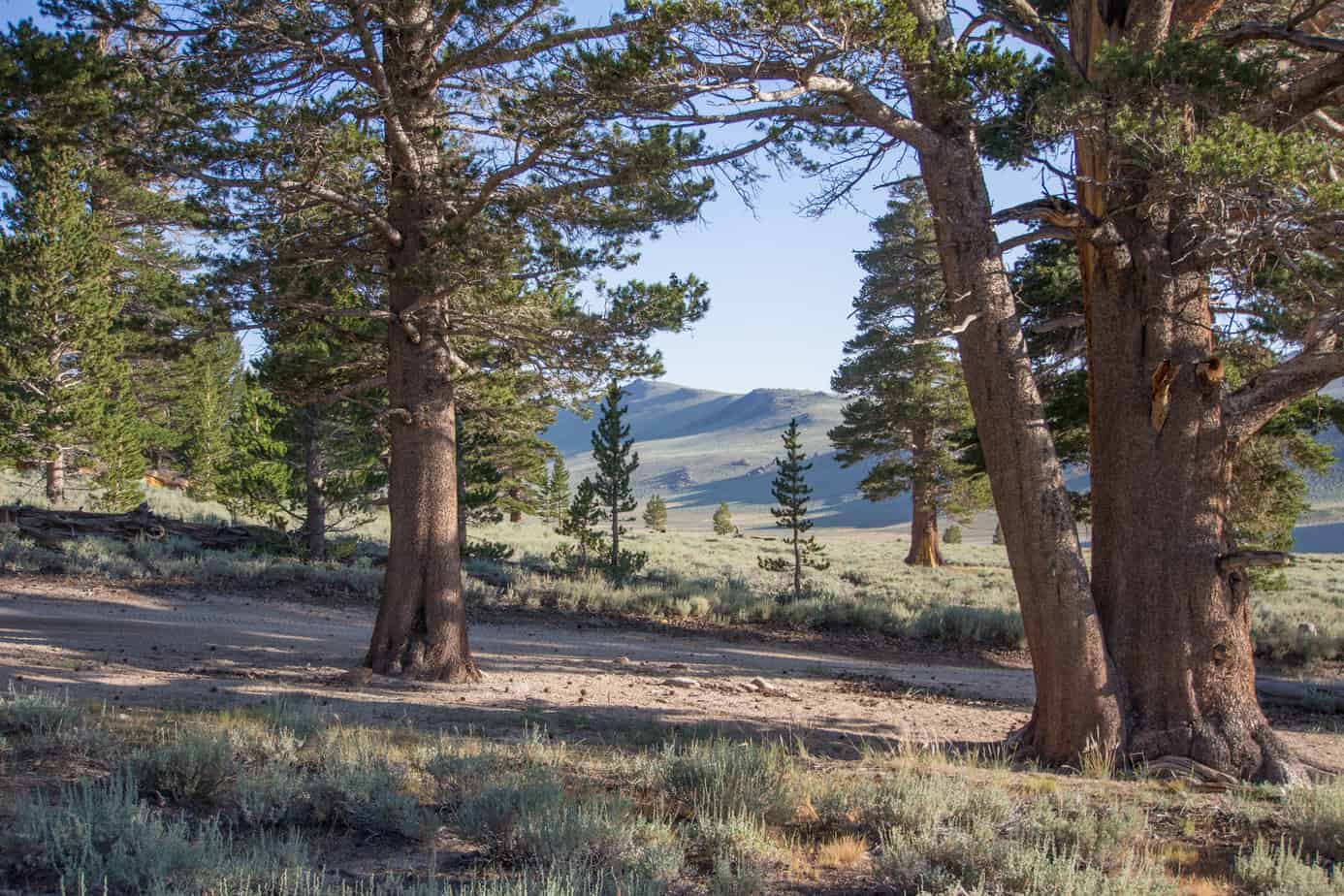
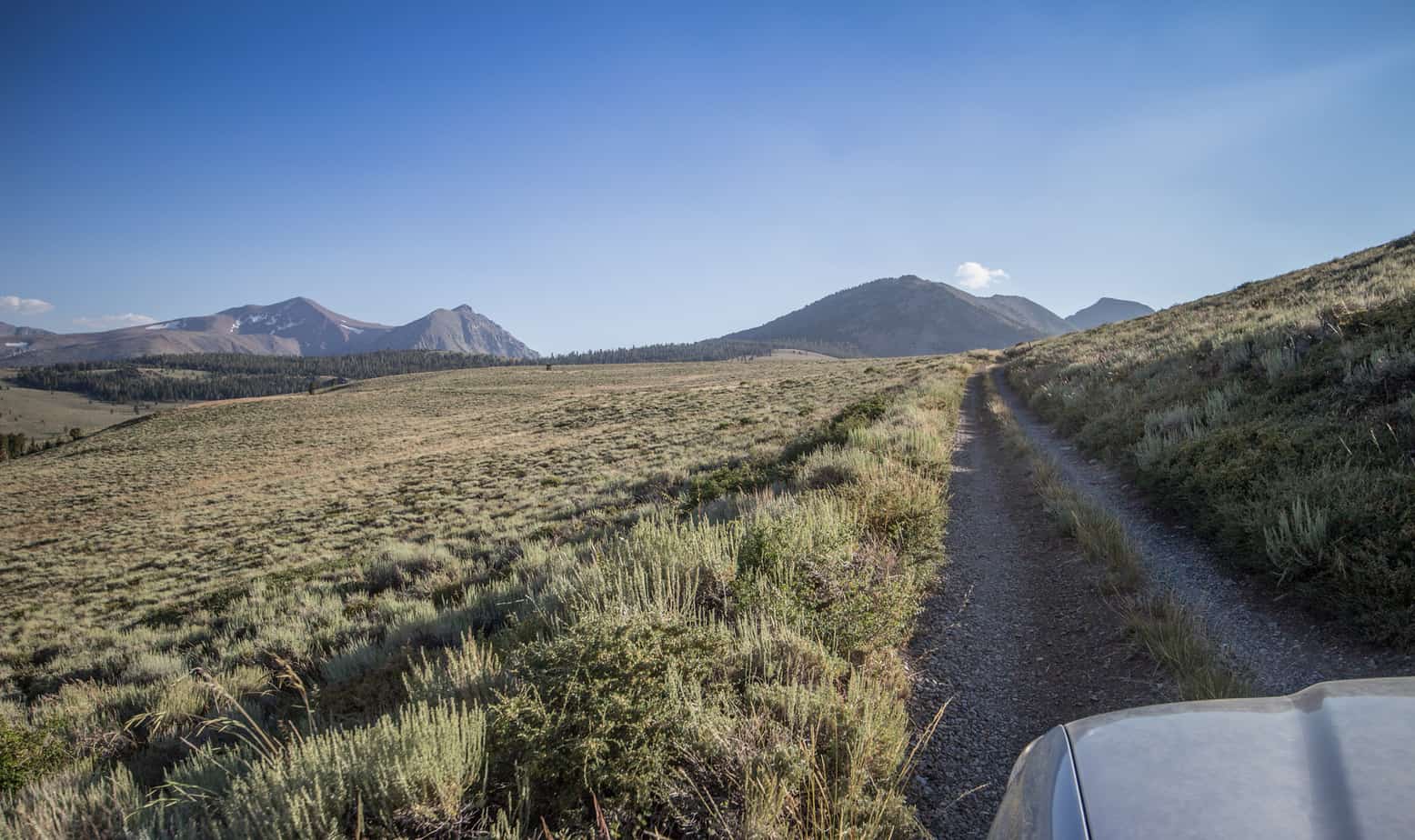
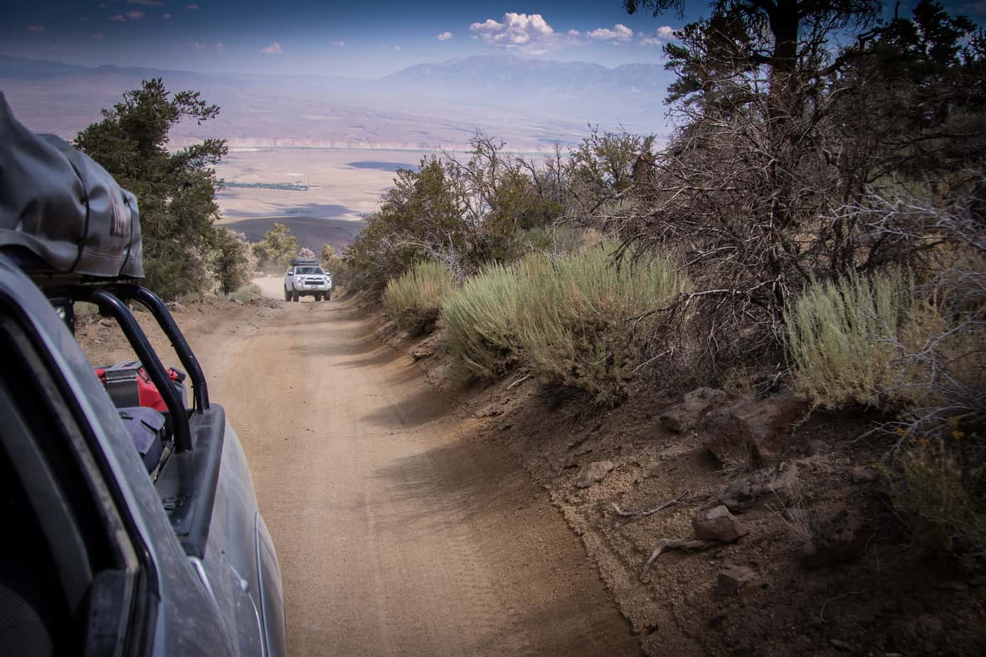
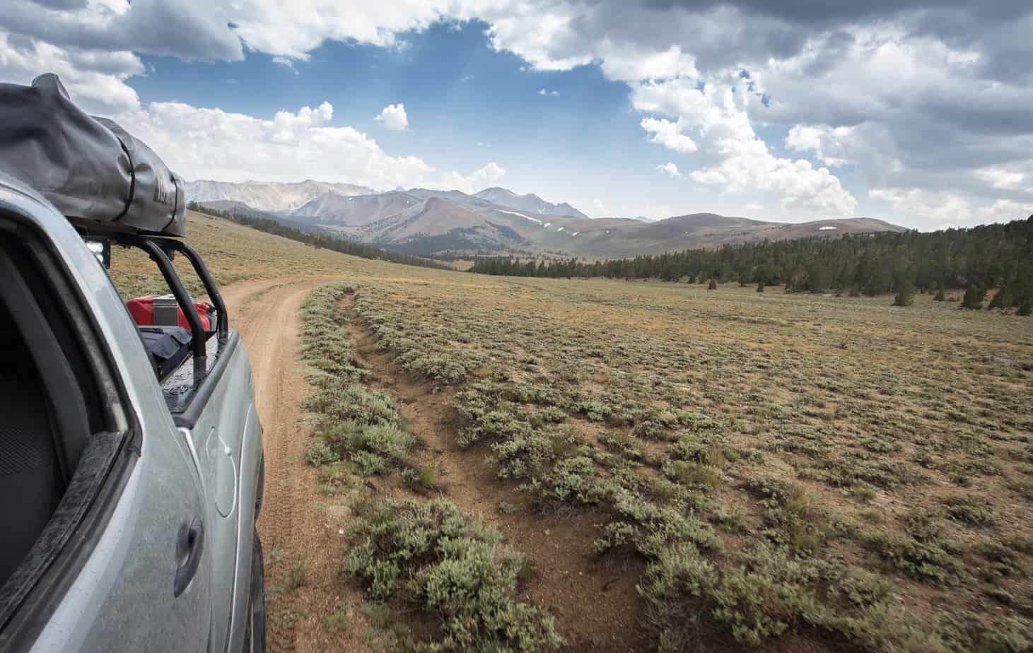
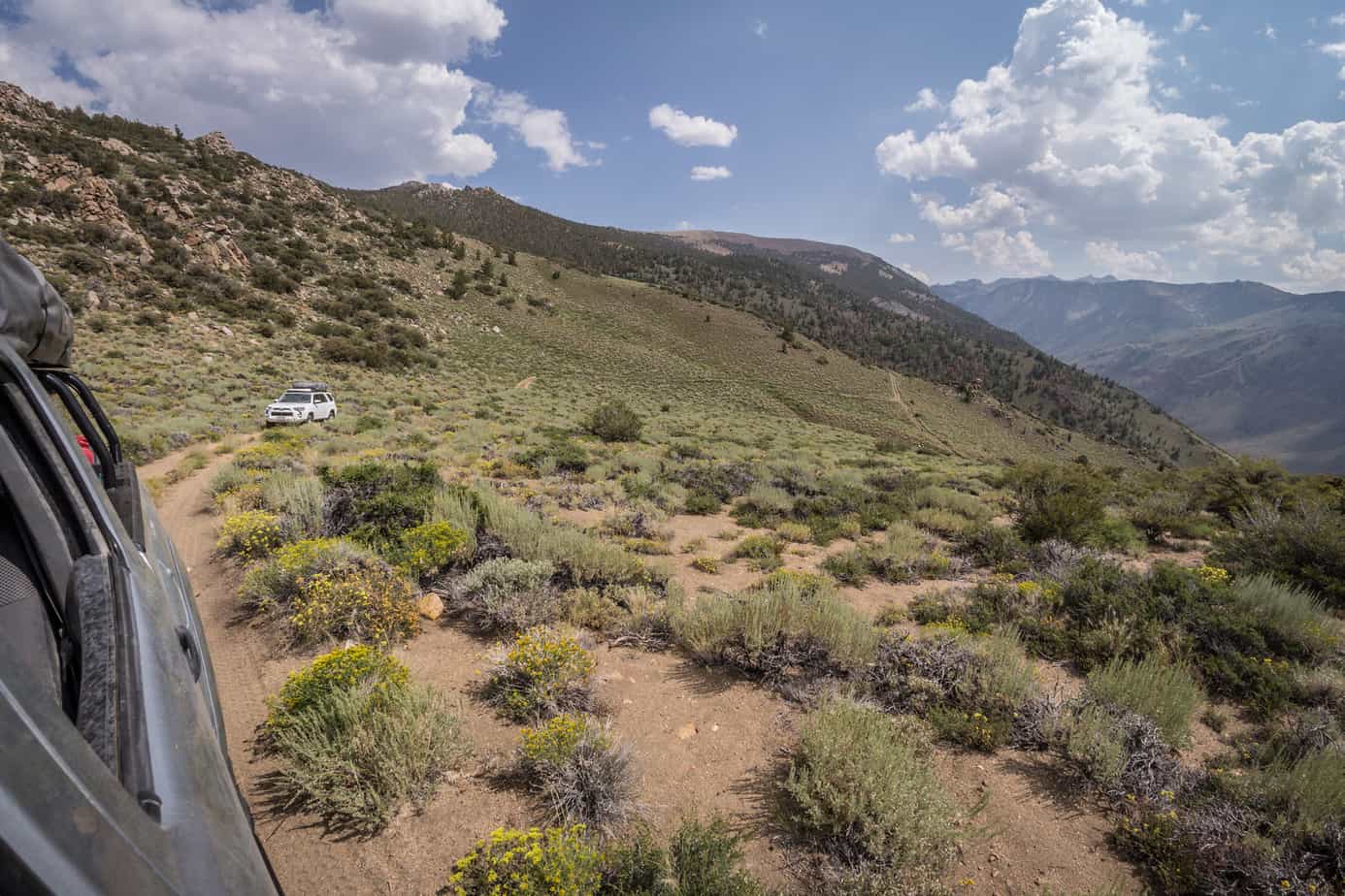
Aurora Canyon Rd ends in-between the town and the reservoir of Bridgeport on highway 182 and only a couple miles from the 395. Our camping spot was to be in Copper Mountain northwest of Mono Lake. A series of trails leads up the ridge adjacent to Lundy Lake.

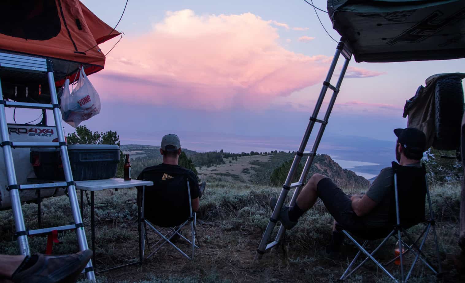
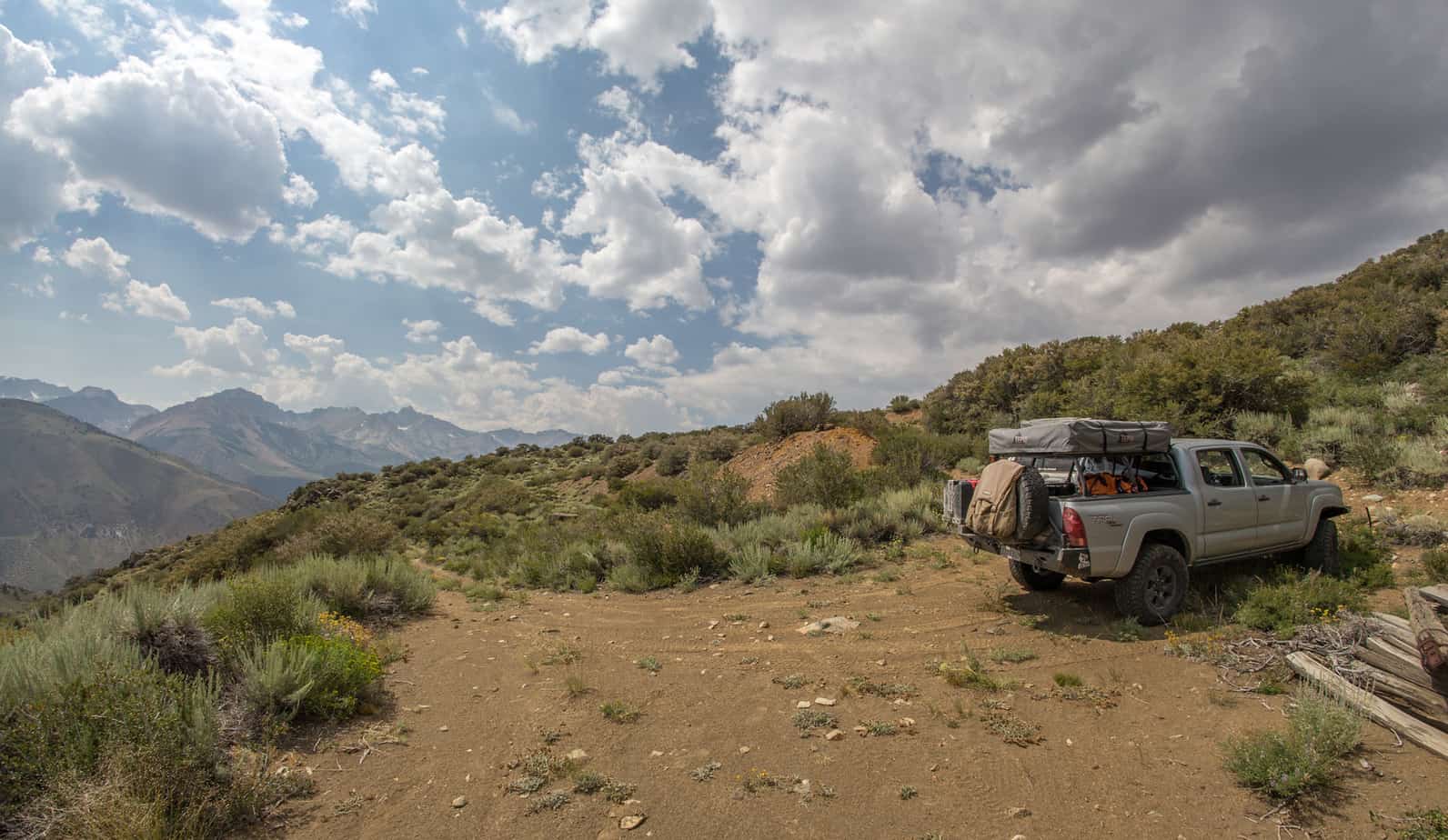
The time we finally found a suitable area we were beat. Usually on our trips there is at least one day that’s mentally and physically draining and today was it – at least for me it was. First thing after a long hours behind the wheel is a cold beverage, followed by getting the Tepui set up. From there it’s time to relax, eat dinner and become memorized by the mediocre view.


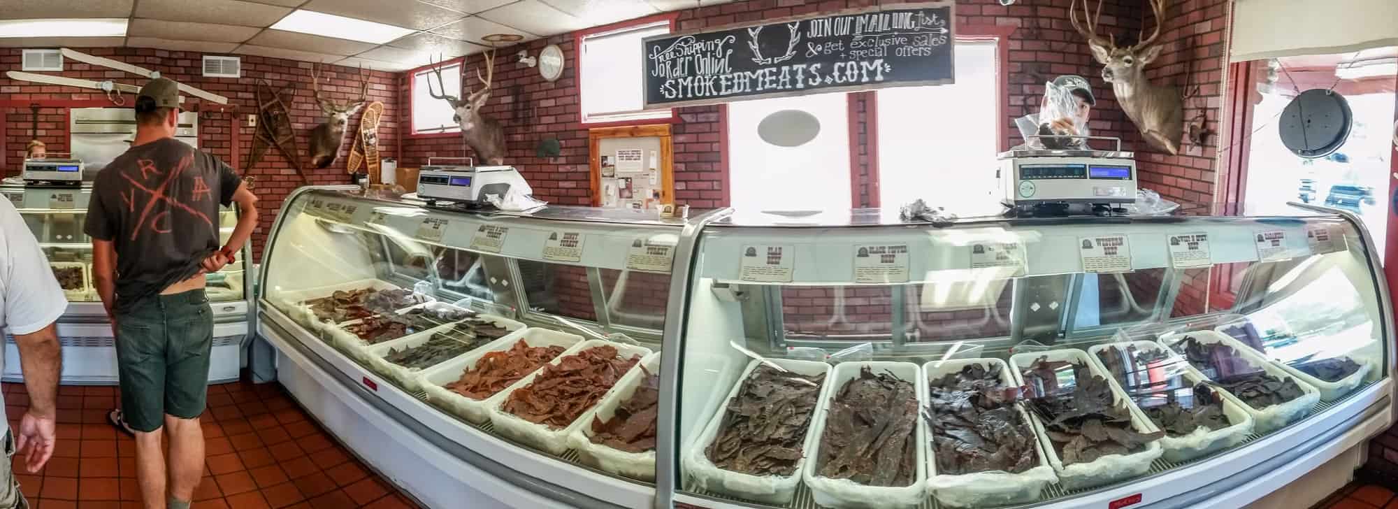
Saturday morning was a early start since we’d be making the haul back to Bishop for supplies in preparation for Coyote Flats. We made quick work of packing up camp and hitting the 395 south. Couldn’t pass up Mahogany Meats along the way, although collectively we spend well over a couple hundred dollars on beef jerky. Worth it? Definitely.


Unfortunately, Ryan informed us that a family matter would put an end to continuing any further and would have to head home from this point. We were all pretty bummed, but at least it happened towards the end of the trip and many more adventures are to come. We said our good-byes and went our separate ways.
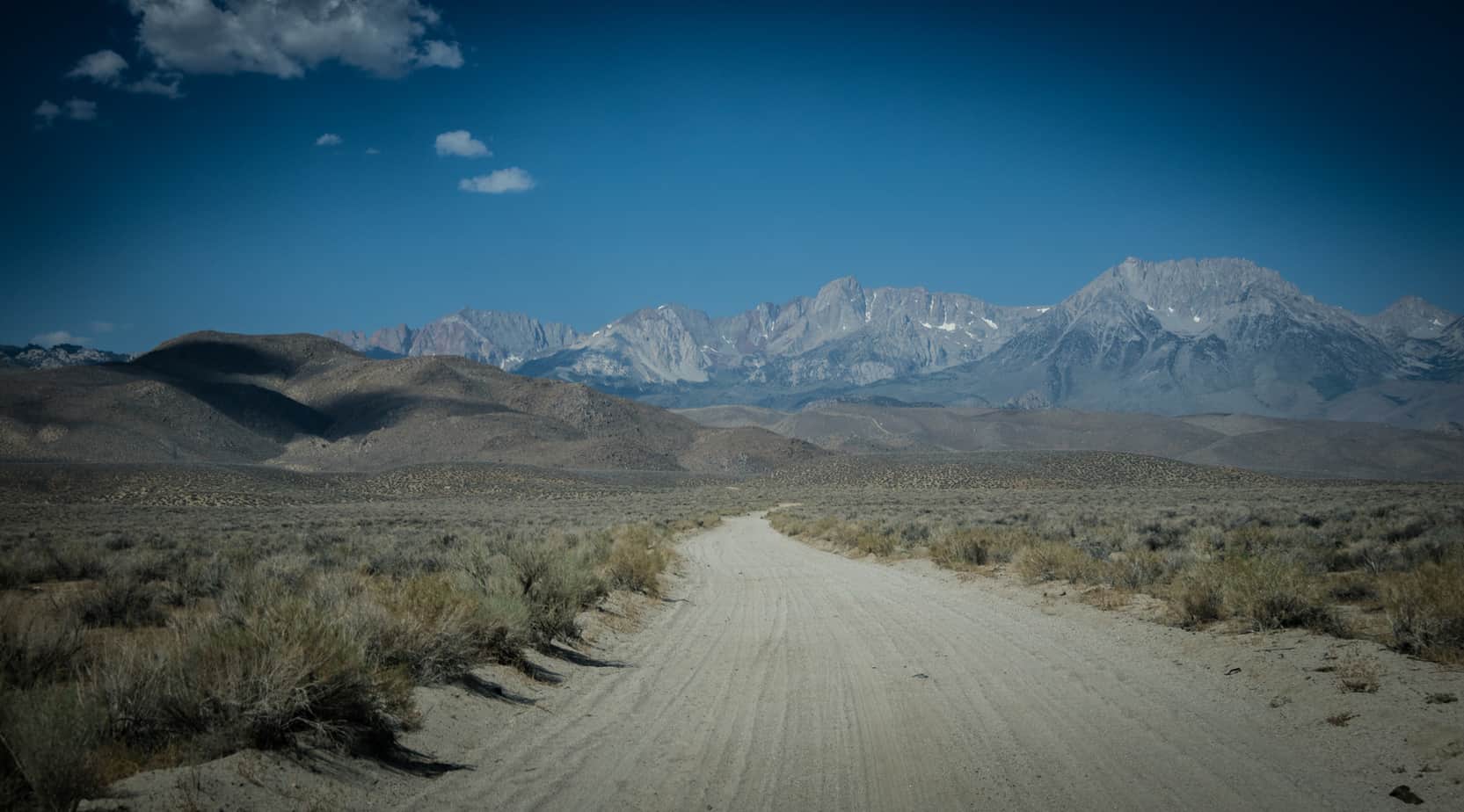
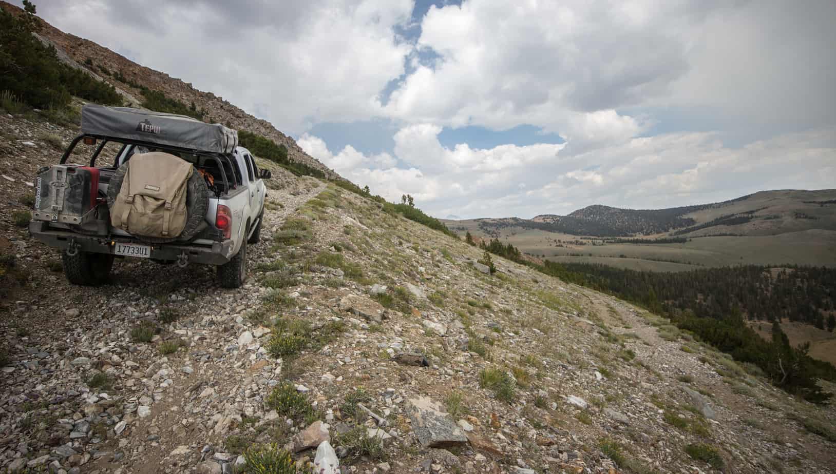
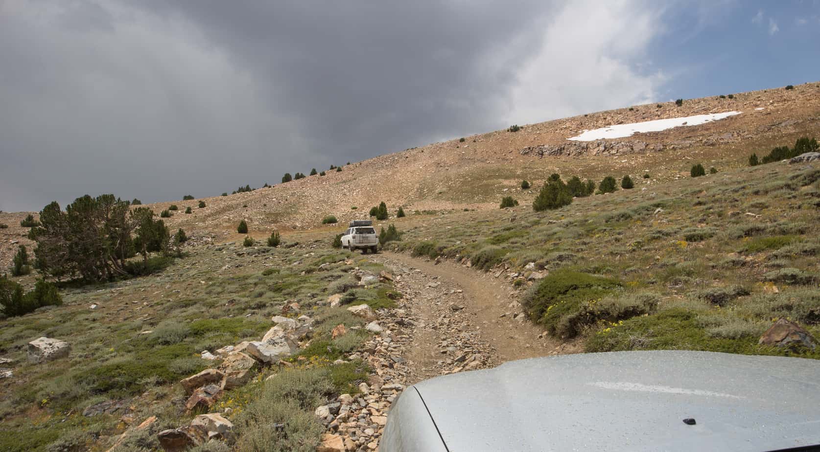
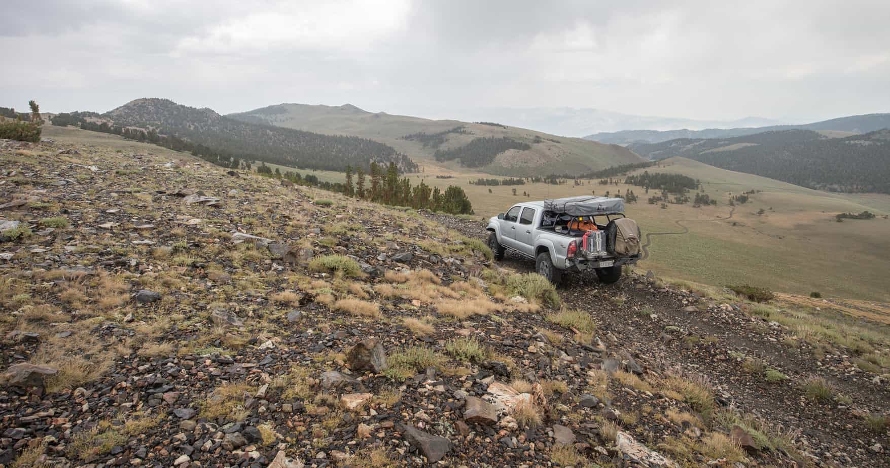
Dave and I took off, zig-zagging through the Bishop Reservation until we finally connected with Coyote Valley Rd and began the short lived slight incline to the foothills. From my research I knew that the ascent towards Coyote Flat was rather steep, but it wasn’t until being there in person was it put into perspective on how quickly you get to the 9,500Ft level. Without a doubt – the vehicle and most importantly the cooling system need to be in top shape to make the climb. In testament to that, this climb made the mechanical fan on the Tacoma go to full lock a few times along the way – the first time I’ve ever heard it do so while driving.
It’s not that it’s extremely steep per-say, it’s that it never ends…
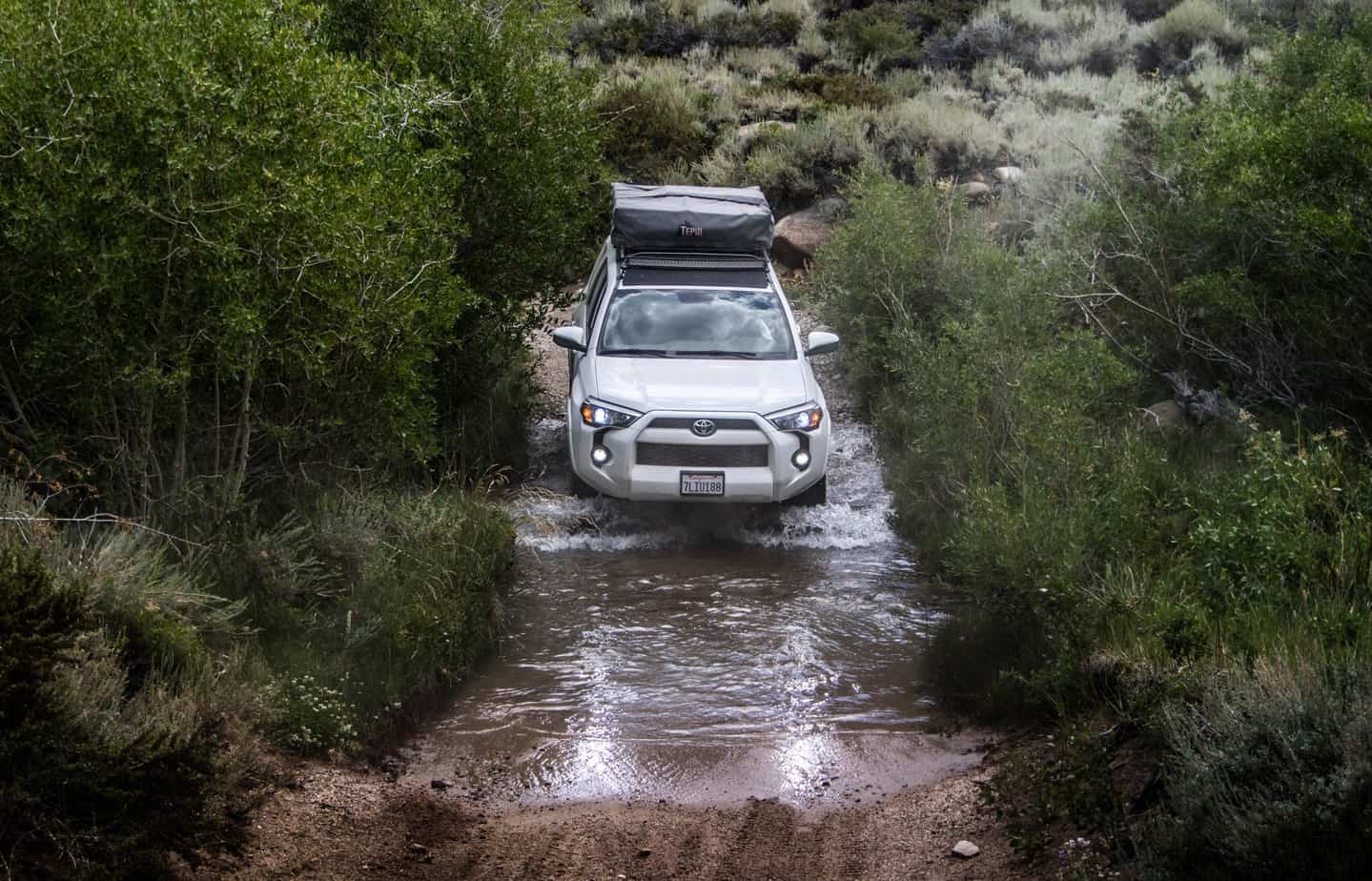
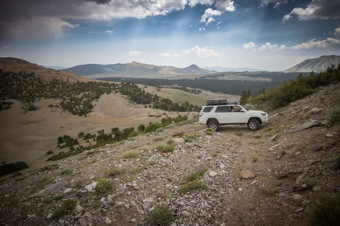
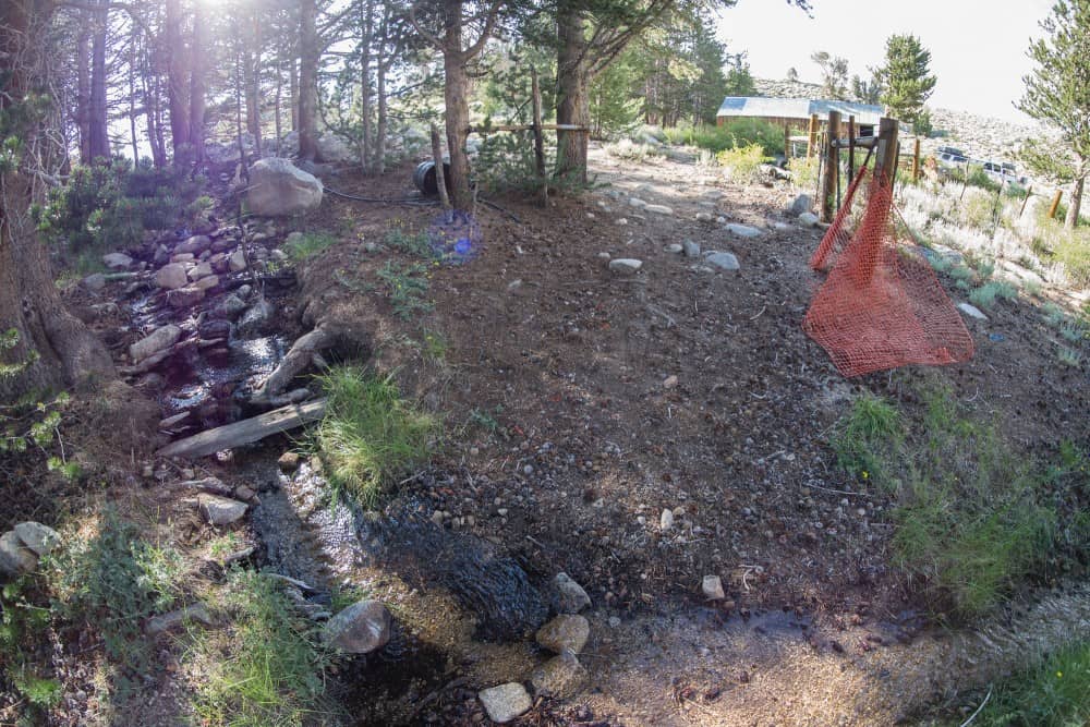
Eventually the radical elevation gain begins to taper off as get into the upper valleys. Coyote Creek still had a fair amount of water running.


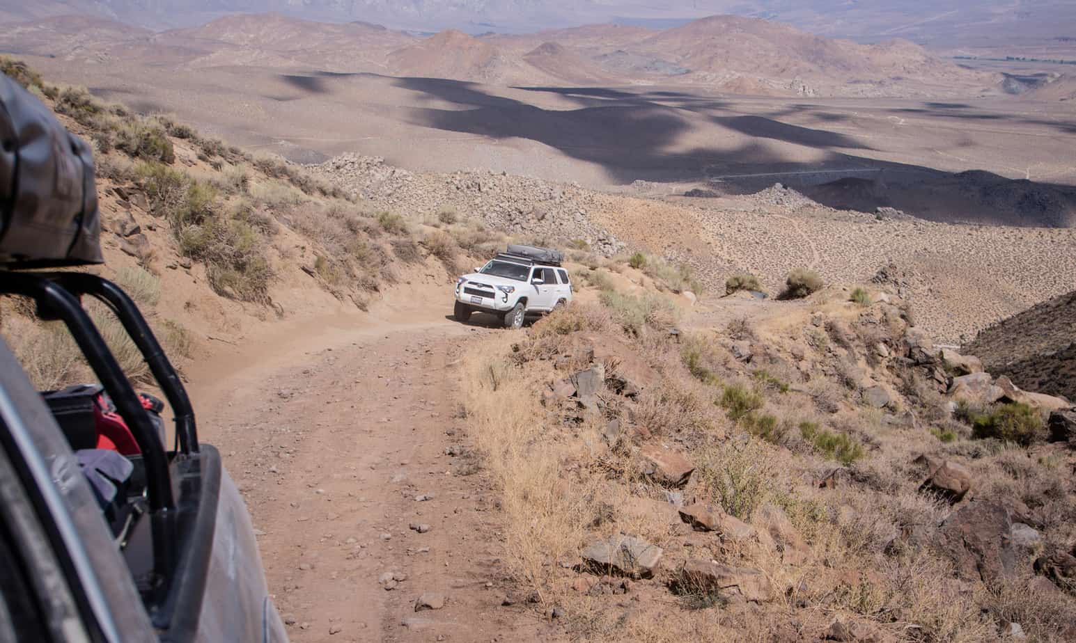
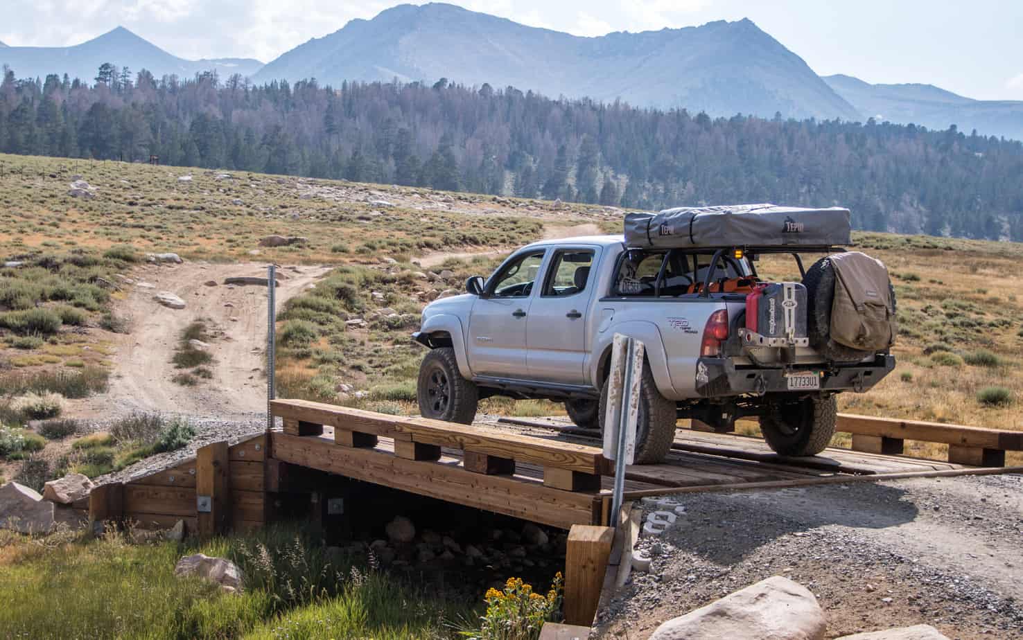
Coyote Valley Rd comes up to it’s first split off at the 7S10 that heads south/south-east towards Baker Creek and Funnel Lake. It also continues straight via route 8S18. Since we were down to 2 vehicle and made some awesome time up the mountain we decided to go explore the area before finding a camp. That would also free up tomorrow’s scheduled and allow for a early departure back home.

We branched off the main route and turned south to check out Coyote “Lake”. Ended up being dry so we continued to head north when the trail ended at a series of switch-backs going up the mountain side. Not looking well traveled, off-camber, narrow and on loose shale rock we decided it would be in our best interest to go for it. Up we went.
Each one of those elements I’m not a big fan of. Add them together and it’s a true butt-pucker experience. Add to the fact that we knew it ended and would have to turn around or back down. Fun.
As expected the trail became impassable and we were forced to head back down. Before doing so we hiked the rest of the way for a better view of the area.

This next portion I’m going to call “The Adventure of Dave’s 4Runner”. Rain, lots of driving and letting Dave take the lead didn’t allow for much diversity with the photography.
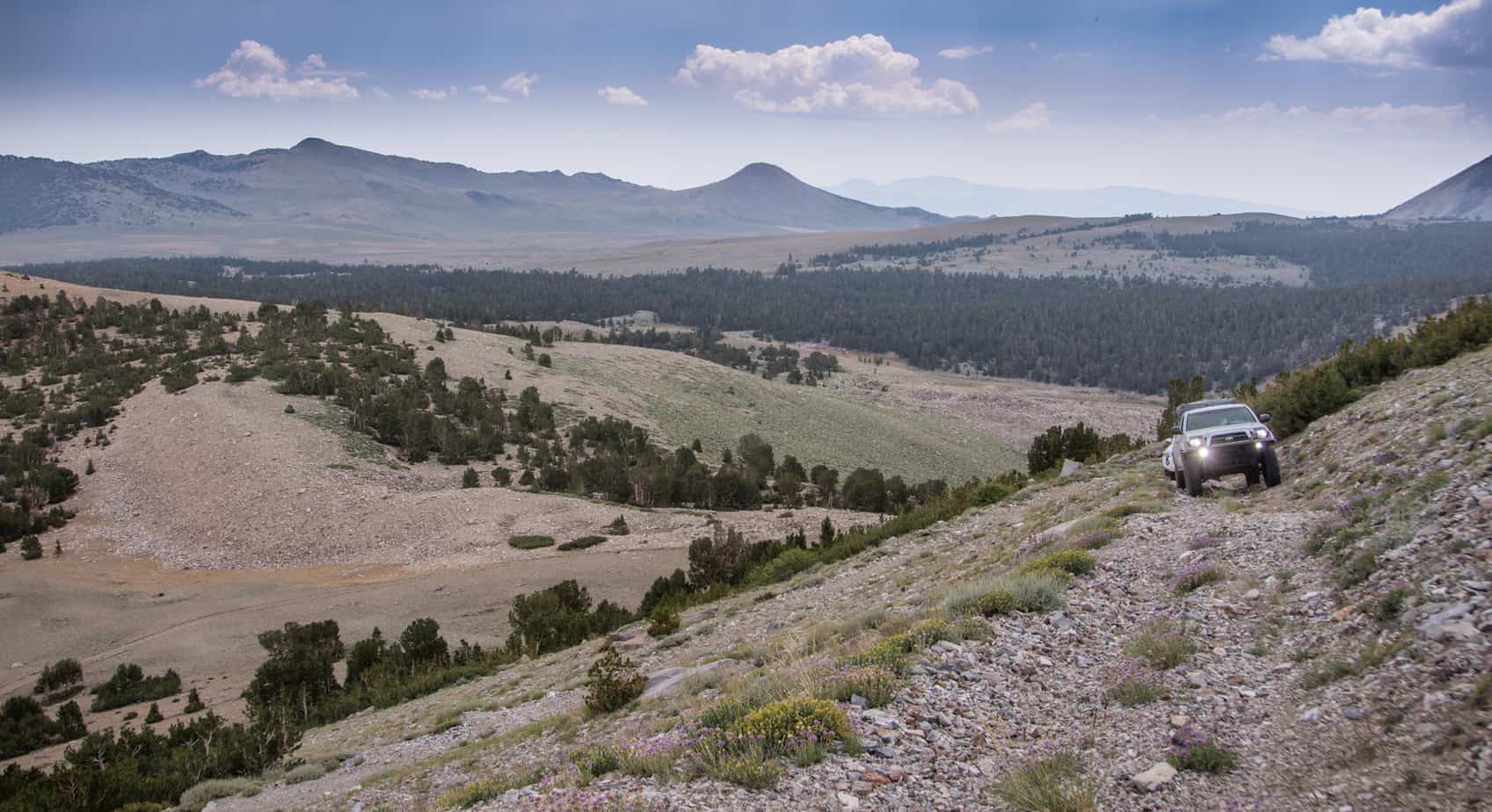
We backtracked down past Coyote Lake and rejoined the main trail. At the spit off we took 31E303 to the top of the ridge and above the remaining snow line.

The distant clouds had made their way on top of us and brought varying severity of rain along along with them. Couldn’t have asked for better timing – the small shelf road we were just on would have been that much more intense if the rock was slippery from the wet.


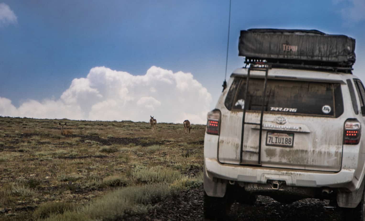
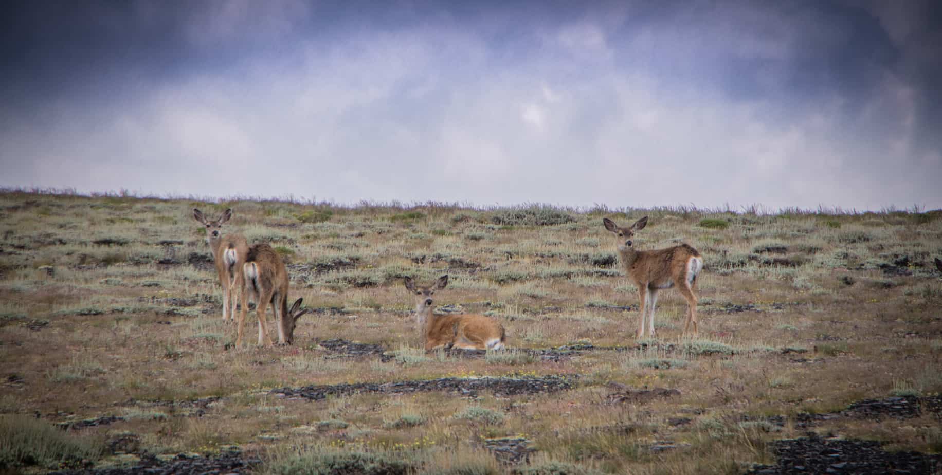
Creeping up to the 11,000ft mark a small group of deer where roadside. They didn’t seem frightened and stayed put as we slowly drove by. From this point forward we saw numerous groups running through the trees – but not a single coyote. Maybe they should rename the area…
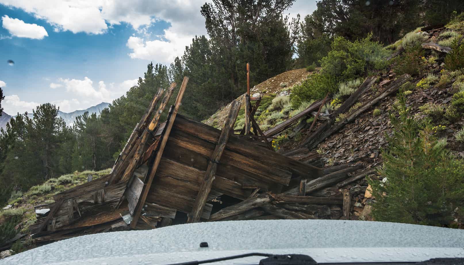
We continued south-west toward a overlook of South Lake when it started pouring rain and the temperature dropped to about 52*. I didn’t want to take the time to get the camera in it’s protective rain sleeve and now regret it. The overlook at the end of the trail was epic! We soaked in the view before becoming drenched and made our way to the Lindner Prospect. All that remains is the collapsing ore bin, remnants of track and audits that have either collapsed or been blown shut.
Next up was backtracking a bit and exploring the 8S109 and the Schober Mine.

Looking back to the ridge and where Coyote Lake is located down in the valley.


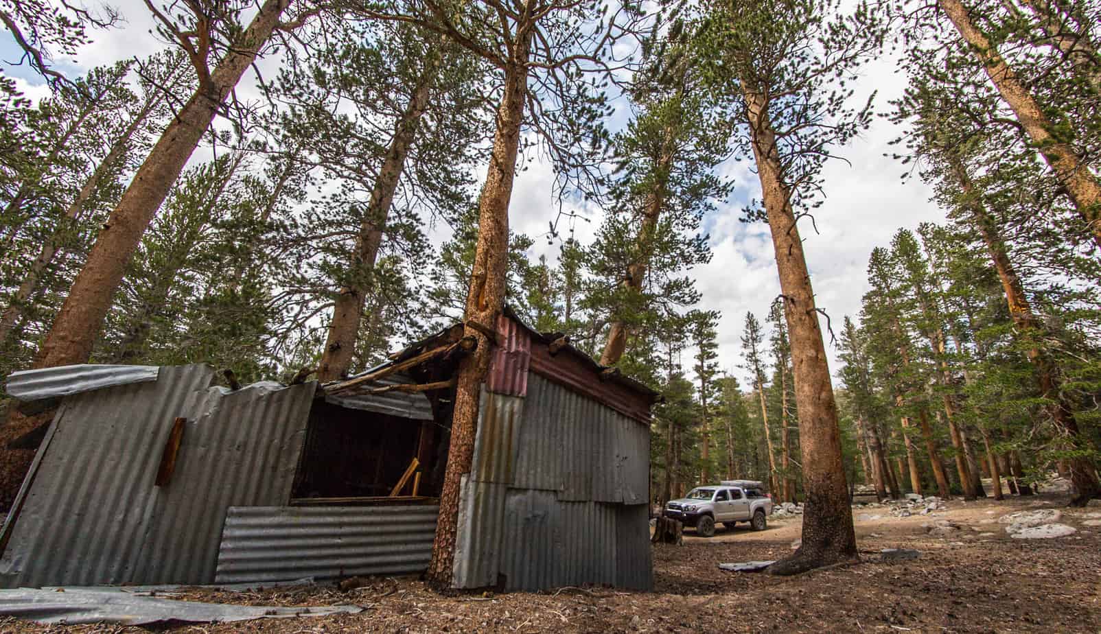
Winding down through the trees an old cabin at would have been the Mill site for the mining operations.


On to the Schober Mine – or lack of. Once again it appeared that the audit had been blown shut and nothing but a few remnants remained.

It was now becoming later in the day and we needed to get into the general area in which we wanted to camp. The original plan was to camp at Funnel Lake but that went out the window when we saw vehicles parked within the trees while up on the narrow switchback road by Coyote Lake. A few other spots would make for great backups so no worries there. Once again, we had to backtrack as nearly all the trails dead end.

Back to the first split when first arriving at Coyote Flat, we turned right heading south on 32E303/7S10 then merged onto the 32E301.

I couldn’t find much in regards to the Baker cabin while doing my research, only some vague history and a few shotty pictures. No ExploreDesert trip is complete without finding a usable cabin so it only made sense to go check it out.

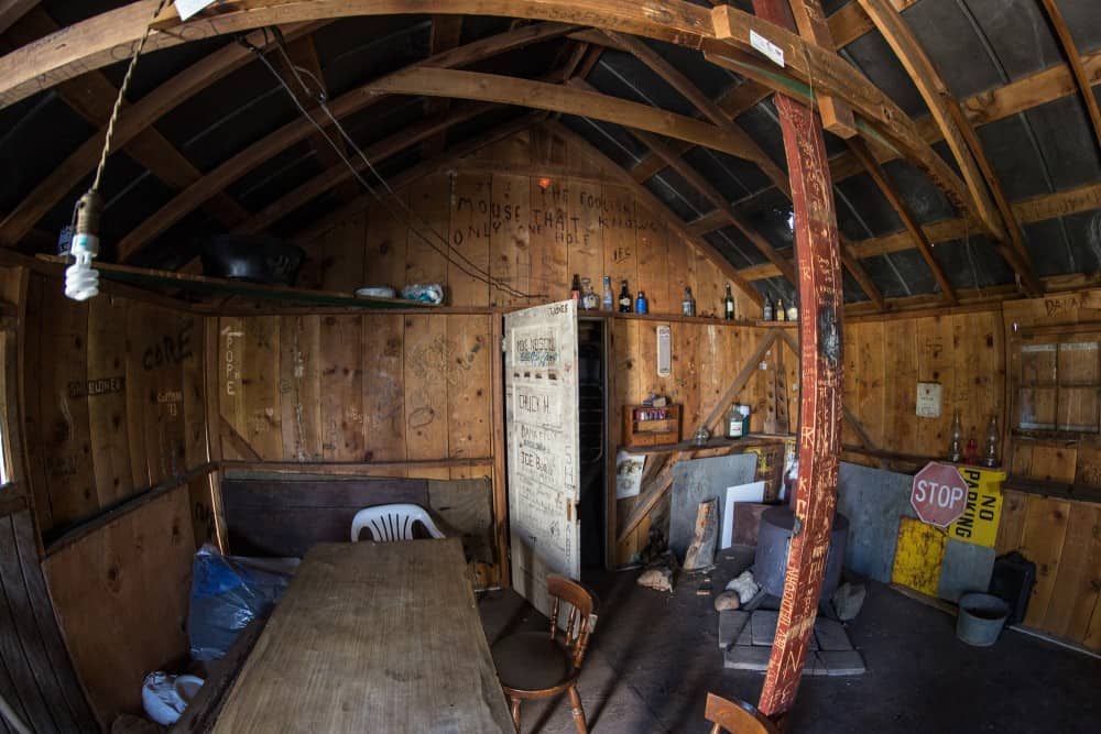

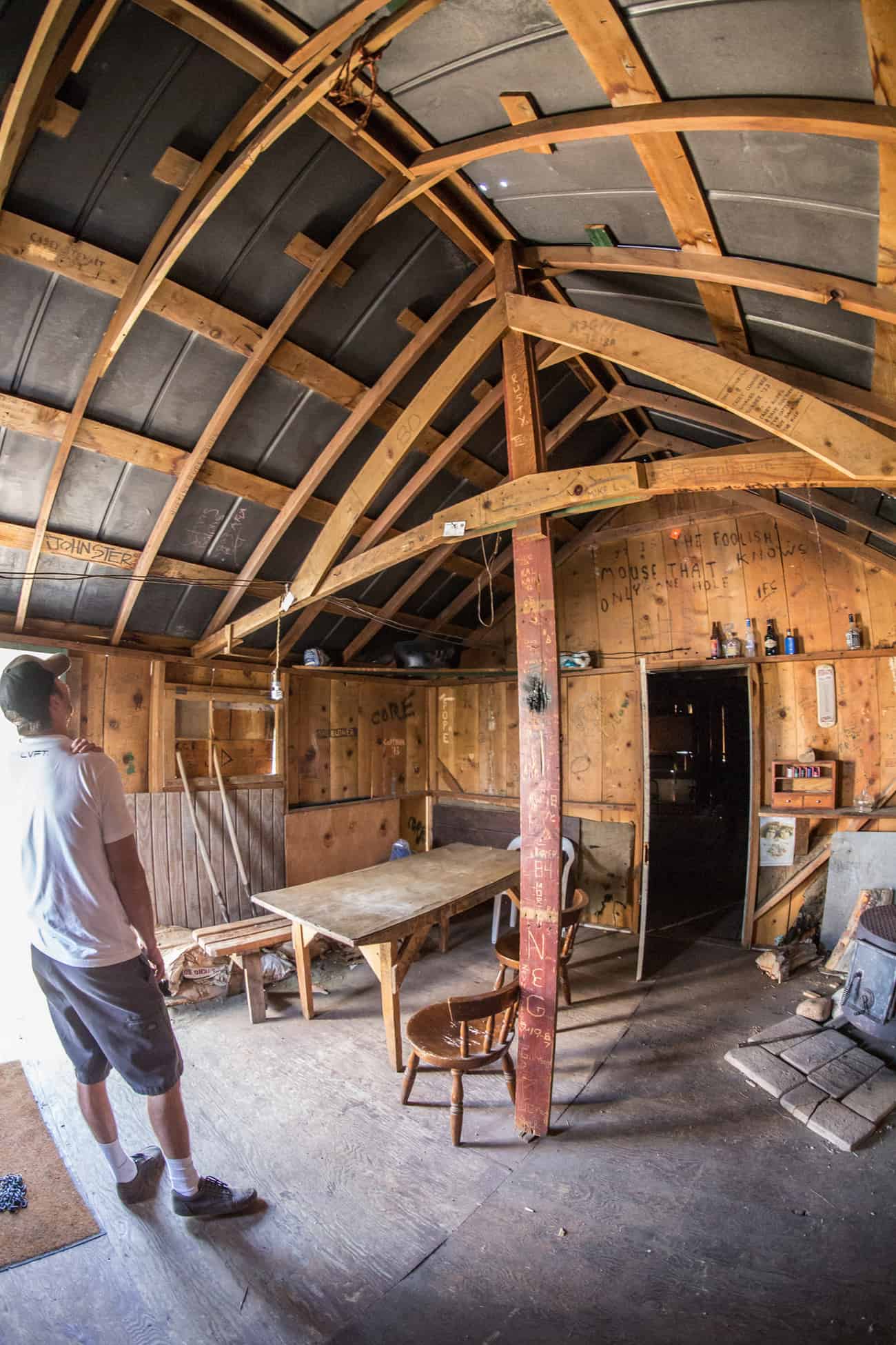


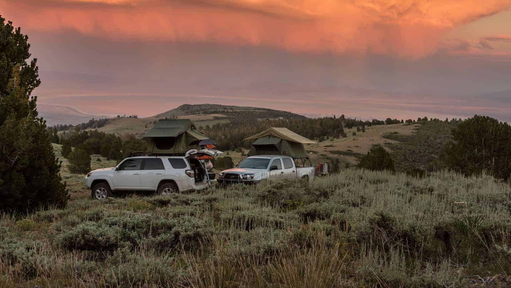
It was a really neat place and would be a awesome base-camp for a larger group or with kids but since it was just Dave and I we decided on something a bit more….primitive. We spotted a prime location at the 32E301/32E301A intersection that offered a great view and flat dirt parking area. After spending the last couple nights on rocks and uneven ground it was a much welcomed change.


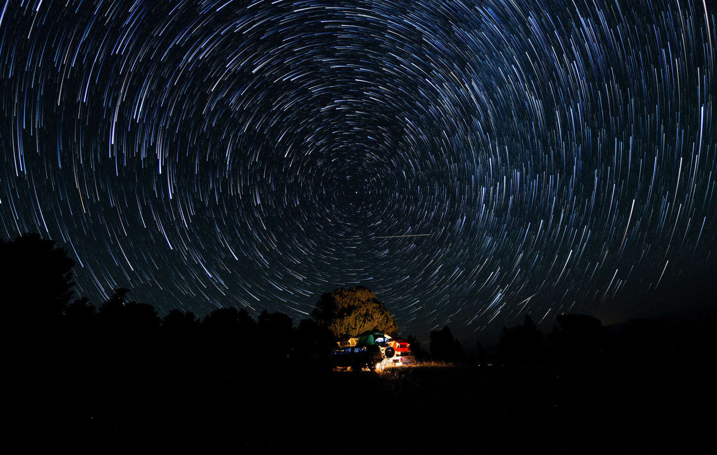
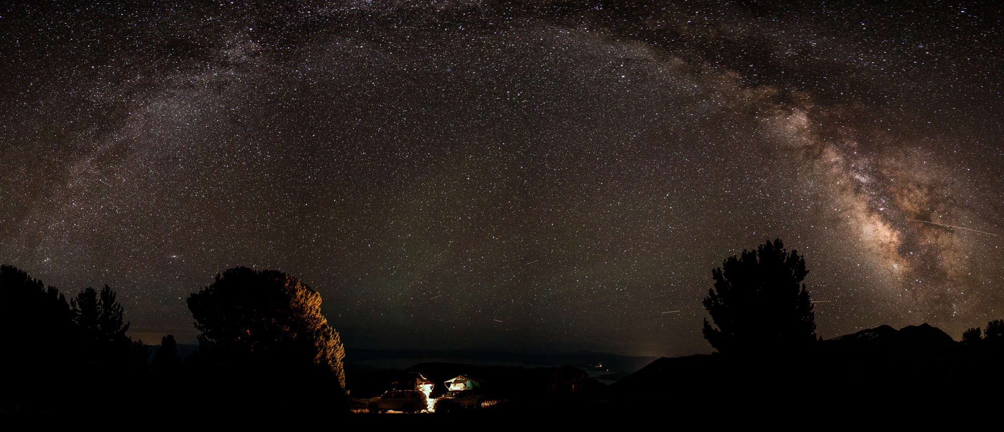
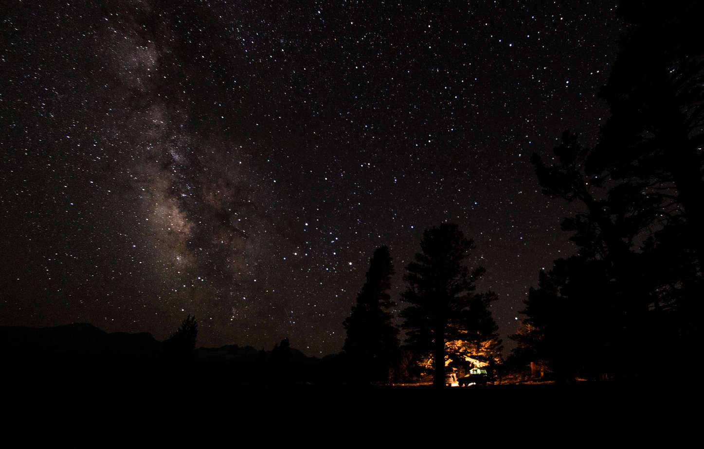
Dave fired up the grill and cooked up some killer burgers and beans. After eating freeze-dried food which seemed like forever and being worn out from a long day it was the best meal I’ve ever had! Haha. We managed to stay awake in order to grab a few night shots before crashing out in our tents. Nothing like a solid nights sleep brought on by pure exhaustion.


Sunday. Time to get heading home. Enjoyed a warm breakfast and hot coffee while packing up for the last time. Always a bittersweet moment – excited for seeing loved ones, a shower and proper bed, but also bummed the journey has come to an end. Part of me wants to keep going. Part of me wants to be home and recharge. Knowing that there will always be another trip and new adventures makes accepting reality easier to swallow.
Until the next one…