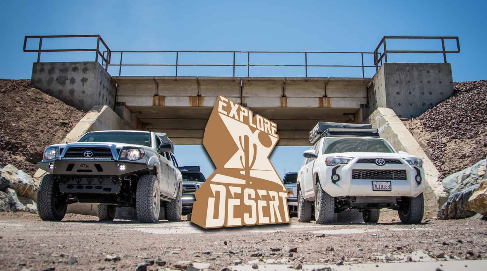
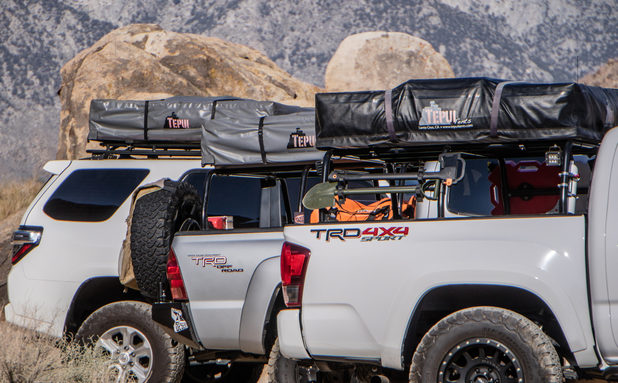
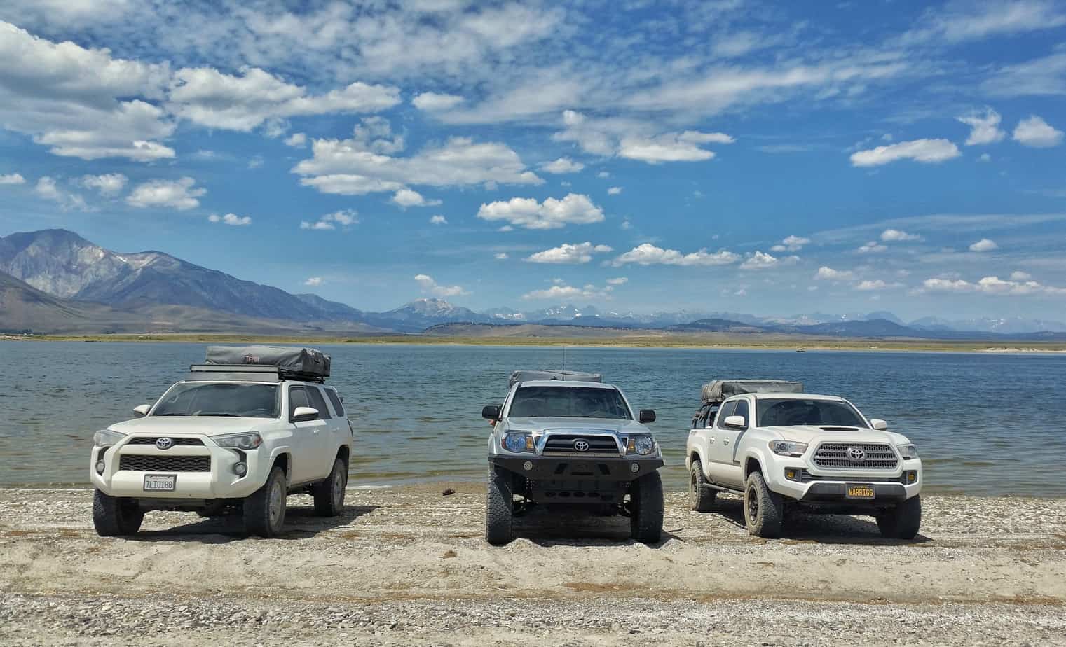
This trip to the Eastern Sierras was originally planned to take place last summer as a way for us desert dwellers to escape the heat. But as our departure time grew closer, personal plans began to change and ended up not working out. In a way, it was better that way – giving me time to refine the trip to best utilize our time. And now, looking back, it would have been mostly disorganized chaos compared to the epic trip we just had. This trip wasn’t without change though – what originally started out to include our entire group slowly dwindled down. 6 vehicle and 14 people reduced to 3 vehicles and 4 people. In addition, the girls decided to stay home so that meant only one thing… Man trip.
Our newly found freedom allowed for some welcomed flexibility – leaving a day early, more diverse camping spots and the ability to cover ground more efficiently. This ended up turning into a win, win, win situation!
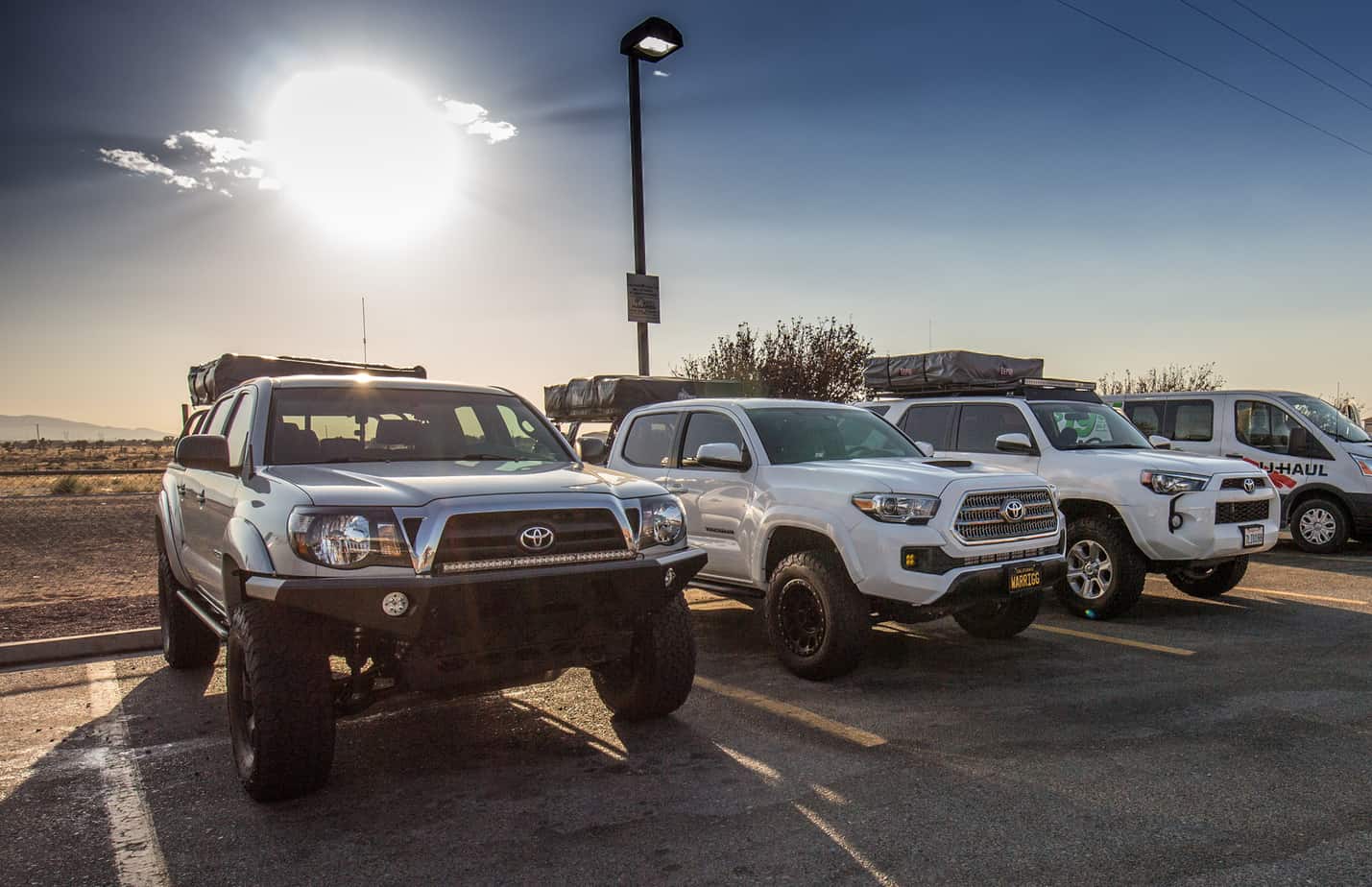
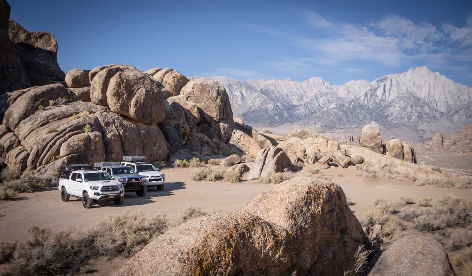
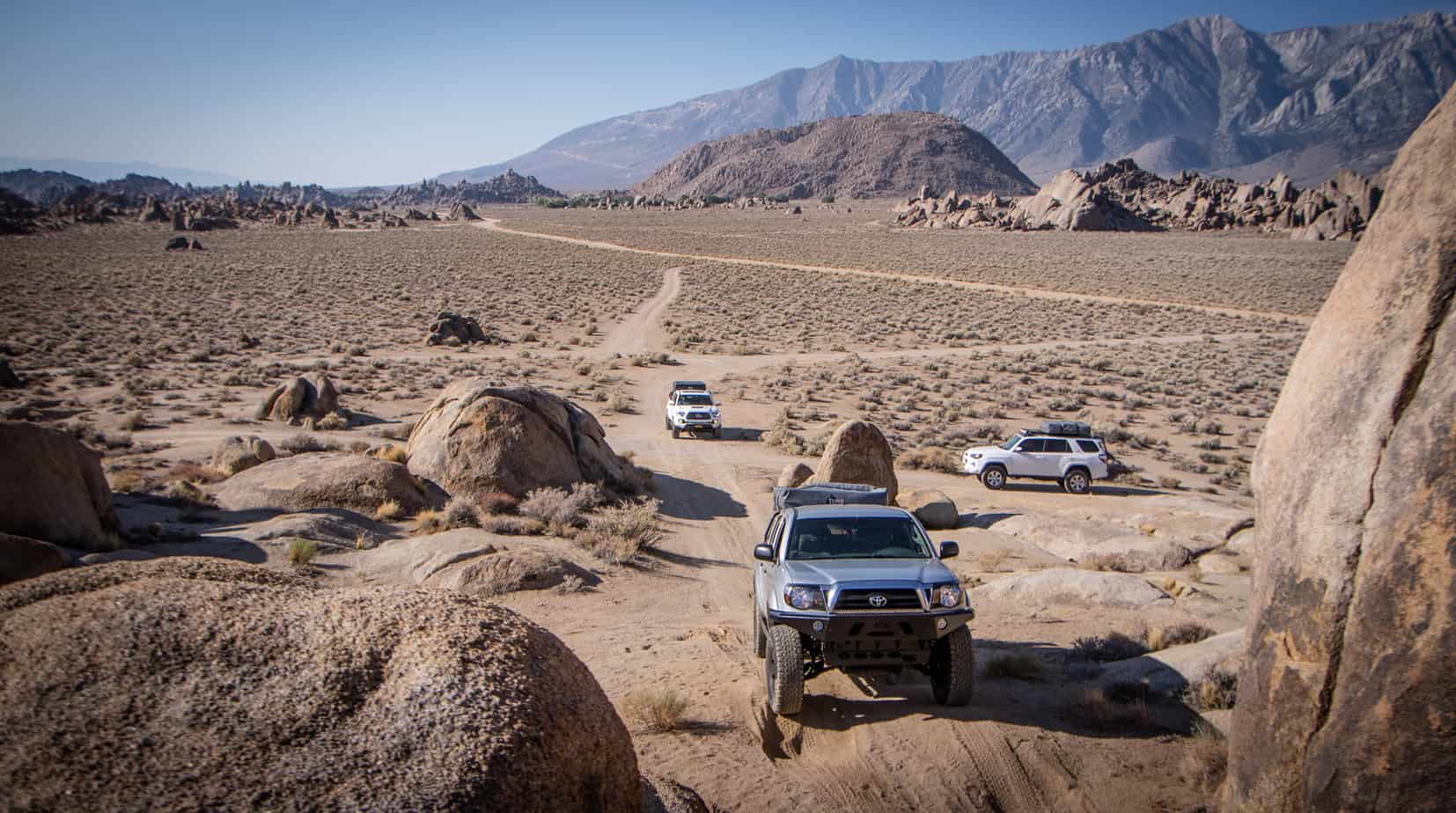
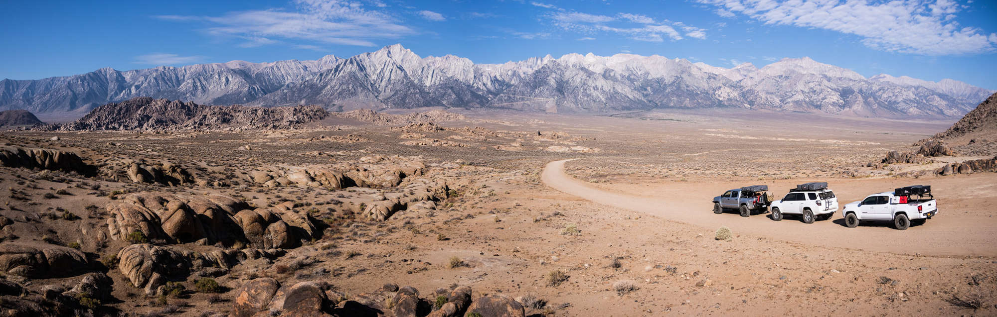
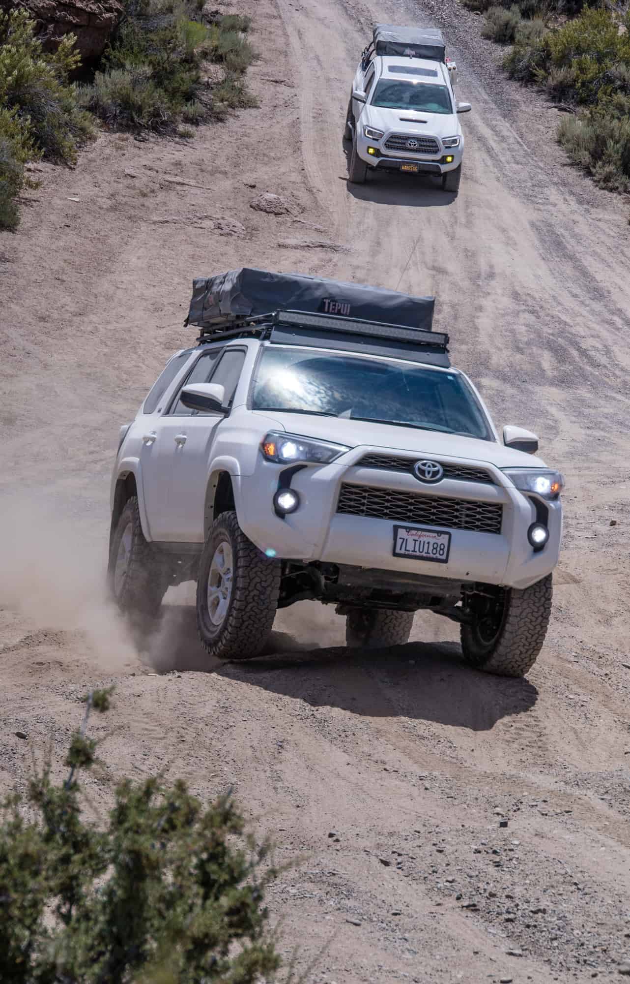
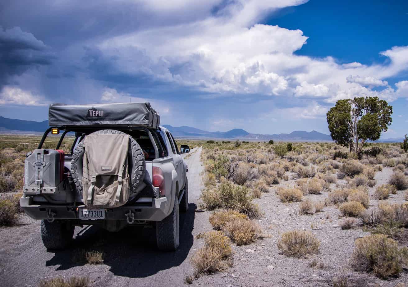
We left Wednesday after work and met up at the Pilot at the 15 & 395 interchange. Fueled up, grabbed a quick bite and set off for our first camp which was to be in the Alabama Hills, just west of Lone Pine.
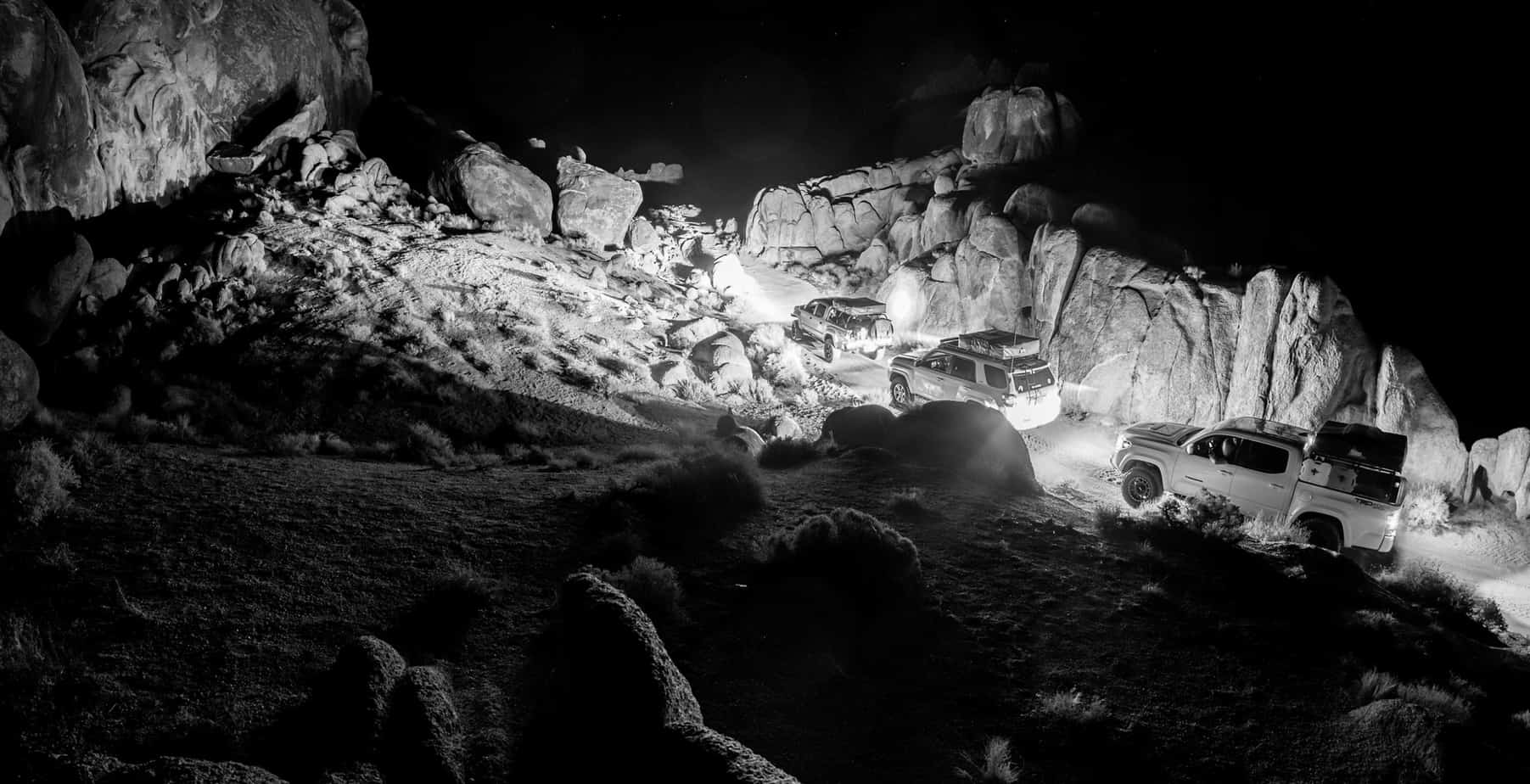
We pulled onto Whitney Portal road right about 9:30 and made the drive towards the famous landscape. Just as we were to make the turn onto Movie Rd a bright light appeared on-top of the mountain. At first, it looked like maybe a vehicle coming down the road, but soon the light began to cast light like a search helicopter. It was coming right at us as we pulled over to get out of the vehicles for a better look. We stood there in awe once we knew it wasn’t a car, helicopter or plane. Our adrenaline pumping as whatever it was passed nearly right above us. Was is a meteor? A failed rocket launch? A disintegrated plane? Nearly a minute went by as we watched whatever it was come apart in the dark skies – fragmented fireballs scattering as it flew over the eastern horizon. Throughout it all, I kept thinking I should grab my camera but for some reason never did. Sort of bummed I didn’t.
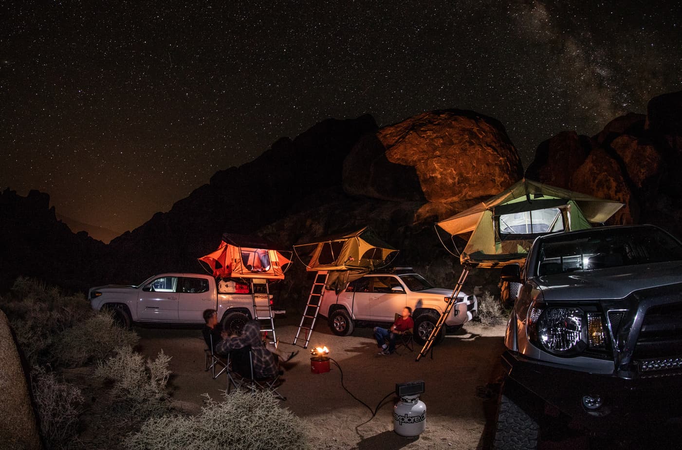
We continued to our camp for the night to relax around the propane campfire before calling it a night. A long adventure awaits us in the morning.

Since we were in the valley the temperature rose quickly and as a result we packed up quickly to get our way towards higher elevations. We’d have to make a stop in Bishop for fuel and breakfast at Schat’s Bakery. By the way, how is it even possible to make bread that good?

The drive up to Bishop gave us some free time to research what last nights fireball was all about. Turned out to be the second stage from a Chinese rocket disintegrating in the atmosphere. How it just so happened to become visible at the “official” start of our trip was pretty cool.
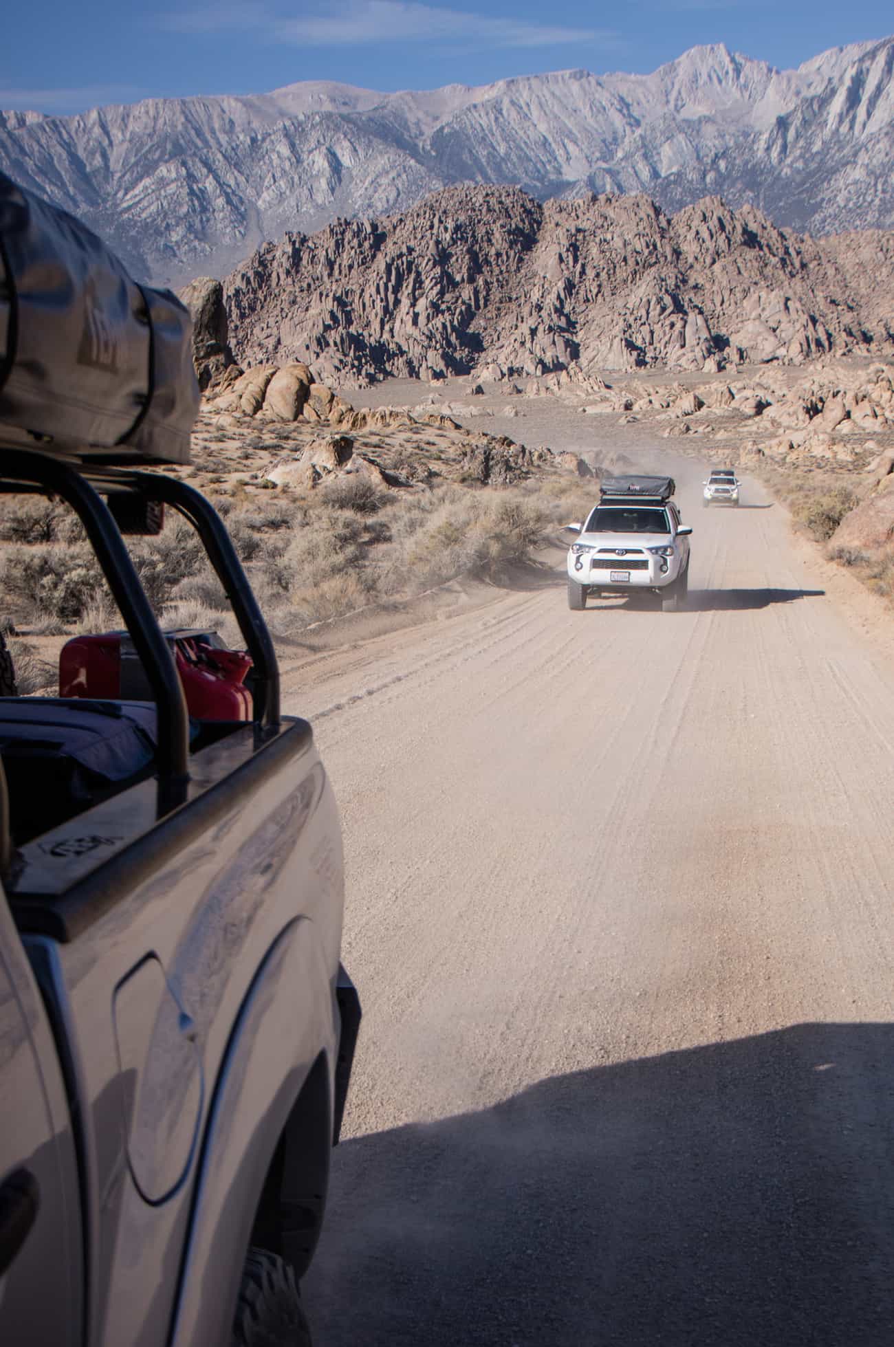
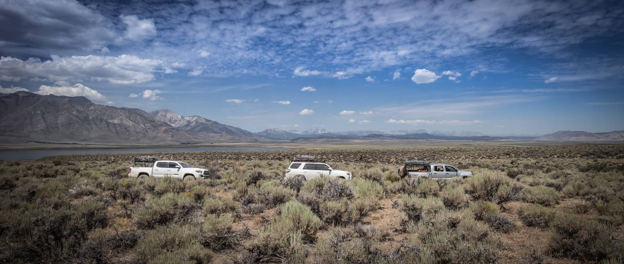
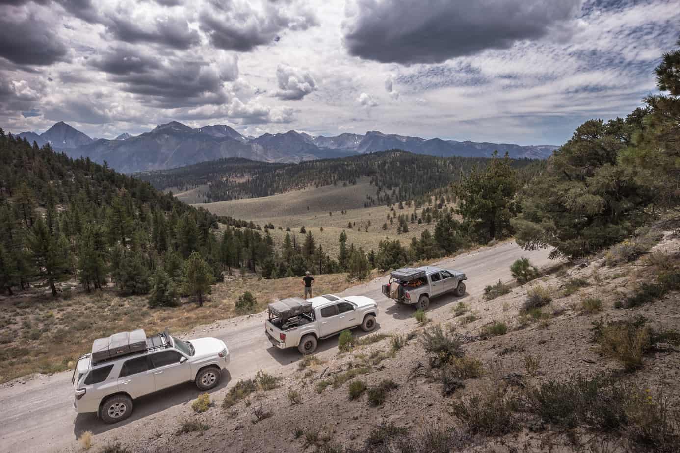
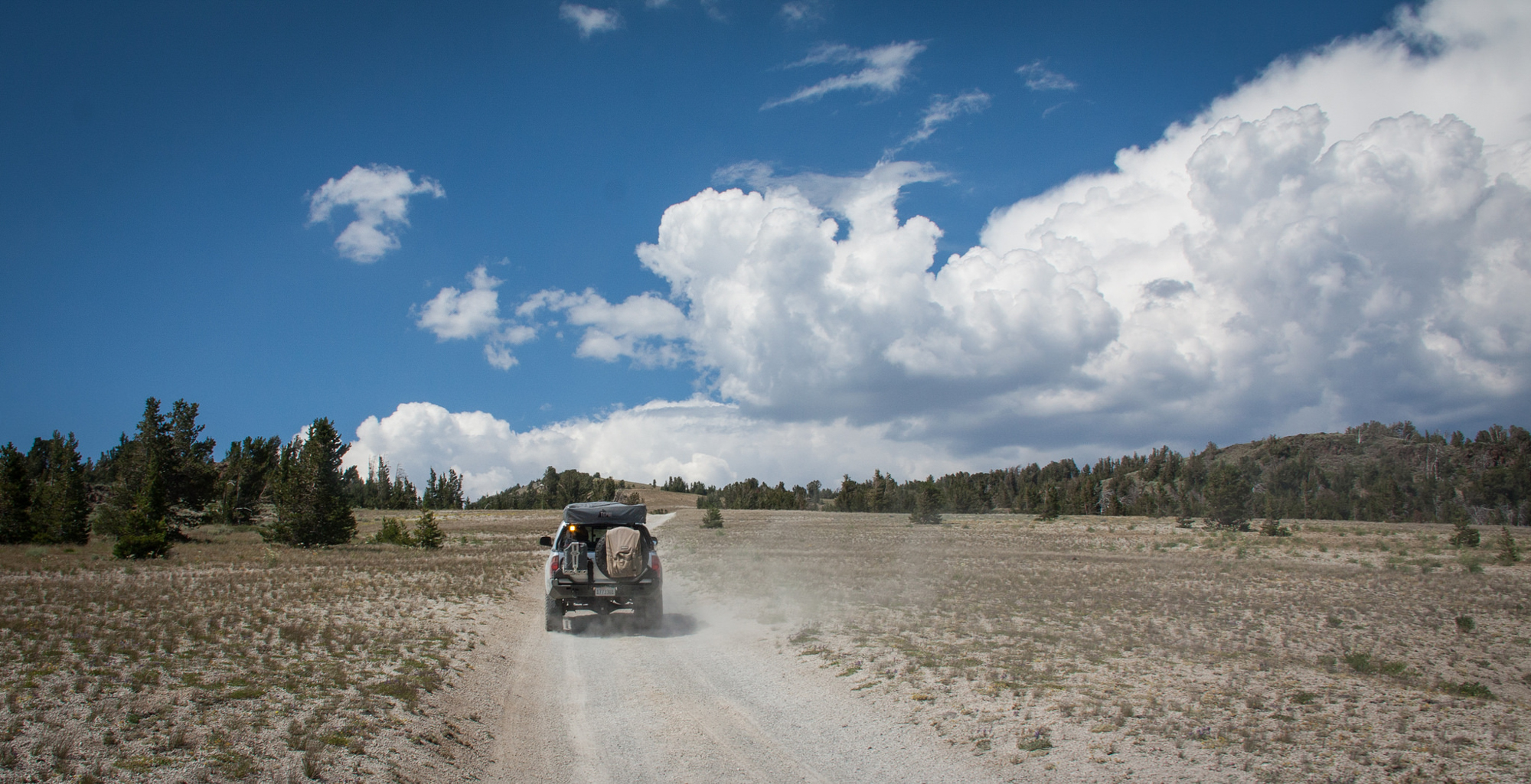
From Bishop we’d skip taking the 395 any further north. Time for some dirt. A route through the Volcanic Tablelands would guide us up to Round Mountain – east of Lake Crowley, via Casa Diablo Rd.

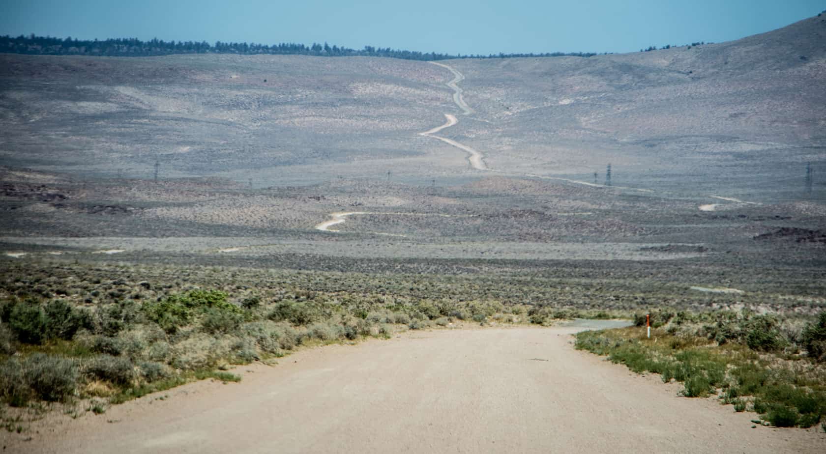
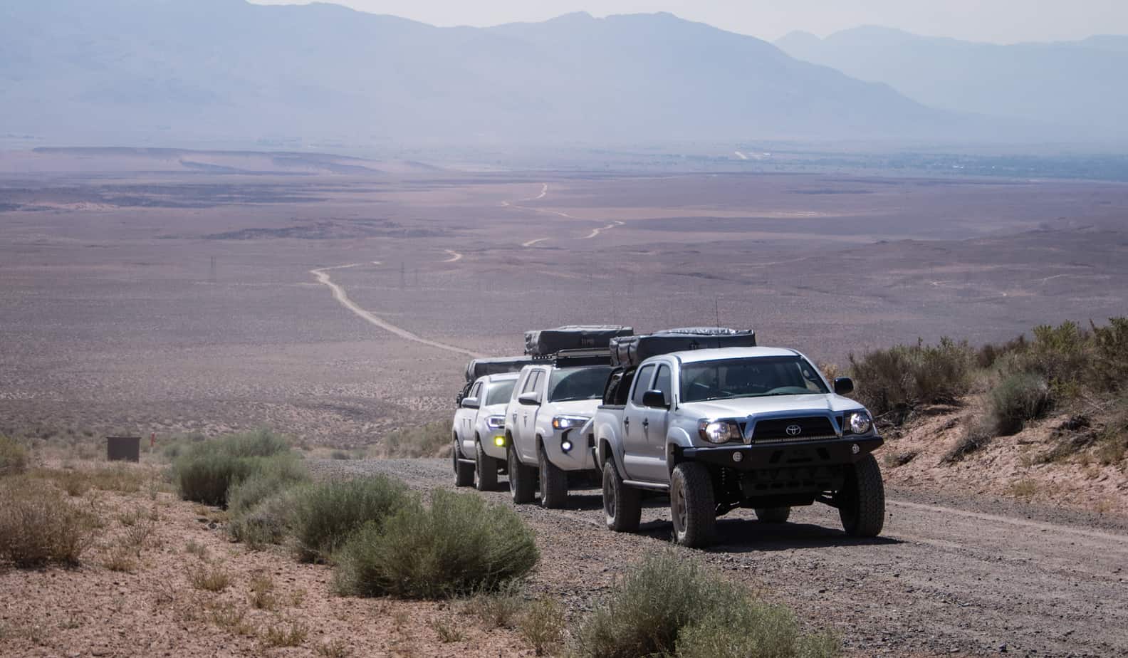
The slight elevation gain gave us some relief from the heat, but it was still in the high 80’s. Definitely cooler then back home. As we approached Lake Crowley the group decided to take a break along the waters edge and relax a bit and soak in the view. Being that it was a Thursday, we had the entire beach to ourselves.

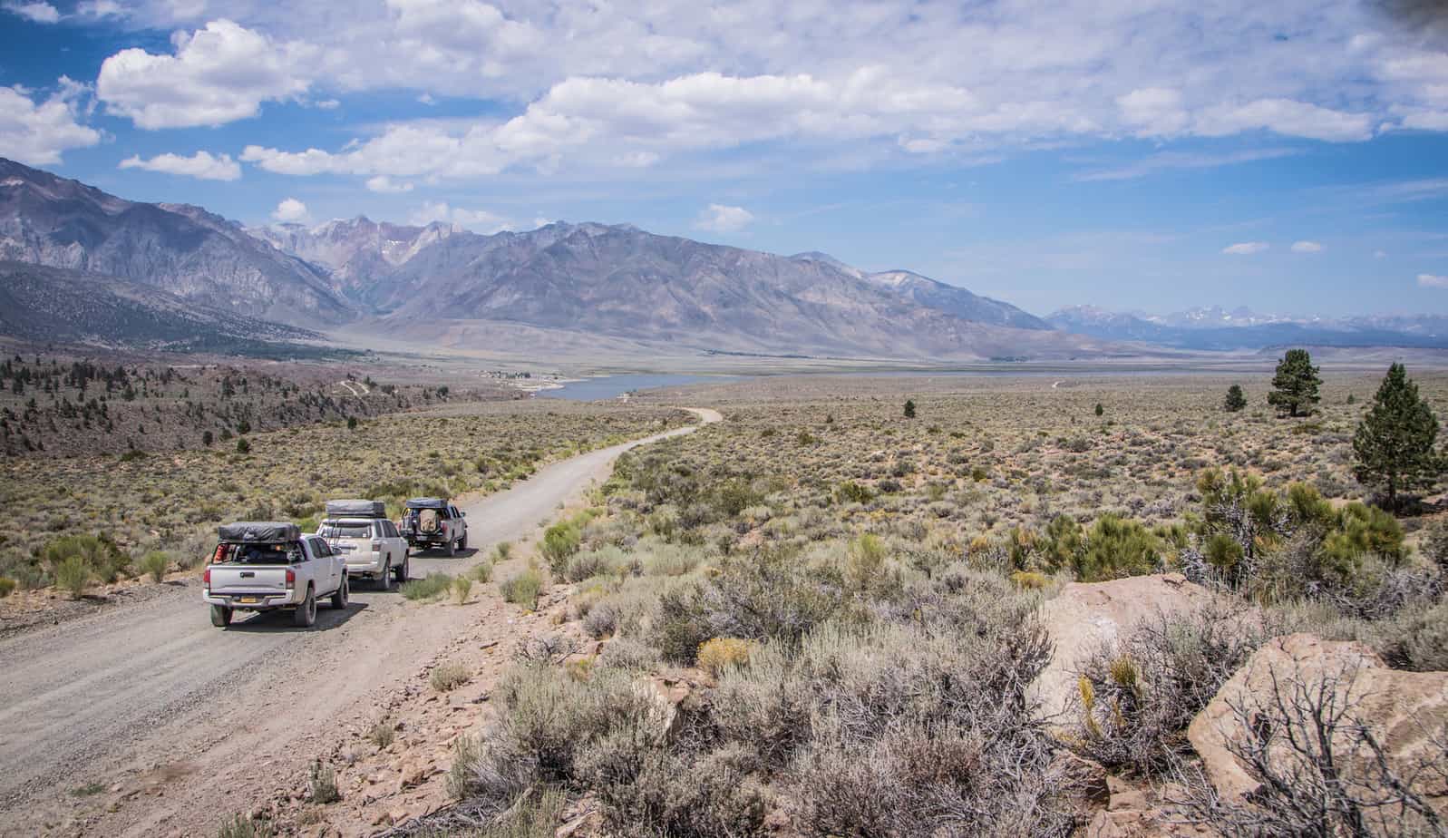
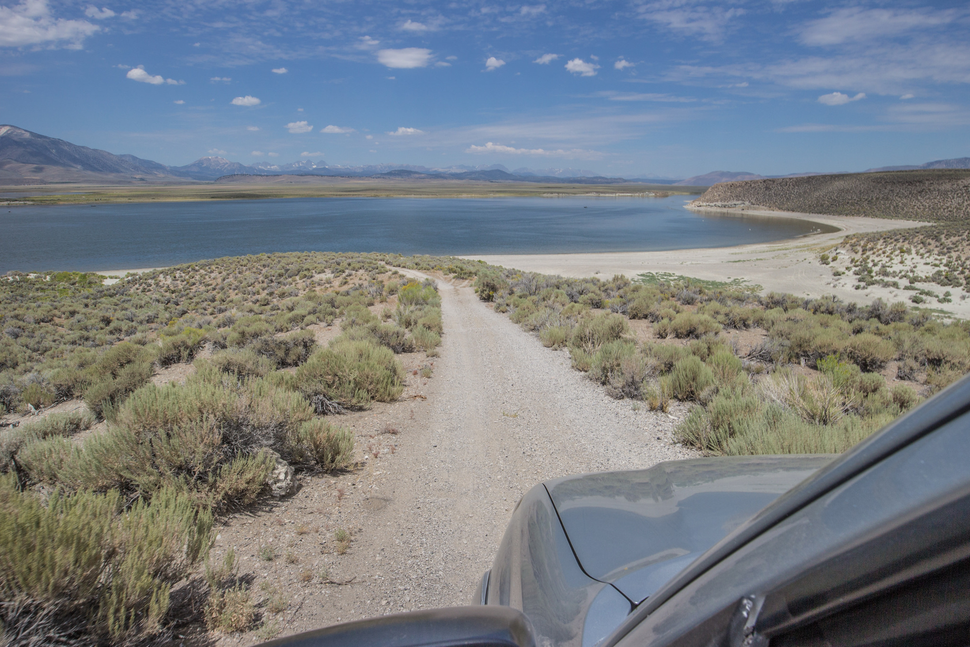
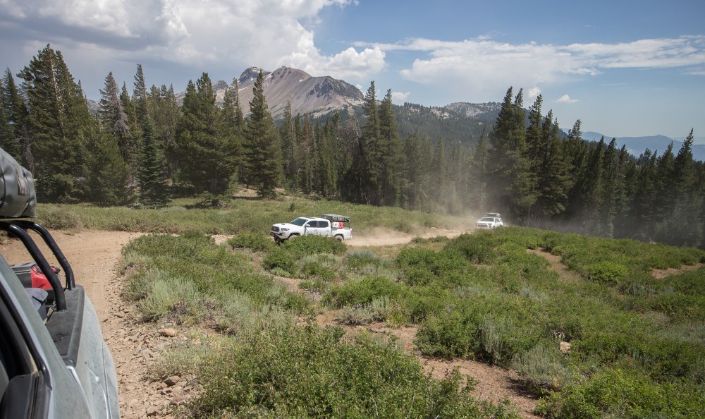
A bit more refreshed we began the trek into Long Valley and the Hot Creek area. Winding our way through the trees and various trails, we’d eventually end up dropping off at highway 203 into Mammoth.

As soon as the tires hit the pavement it started to rain – which sort of worked out since we were getting hungry. Decided to stop at Roberto’s Mexican Cafe for some killer food and a ice cold cerveza while we waited for the weather to clear before our next adventure. Well, the weather ended up making real a mess of things rather then clean. The dirt and dust we collected so far turned into spots and mud. Couldn’t complain too much – after-all it is a off-road trip…
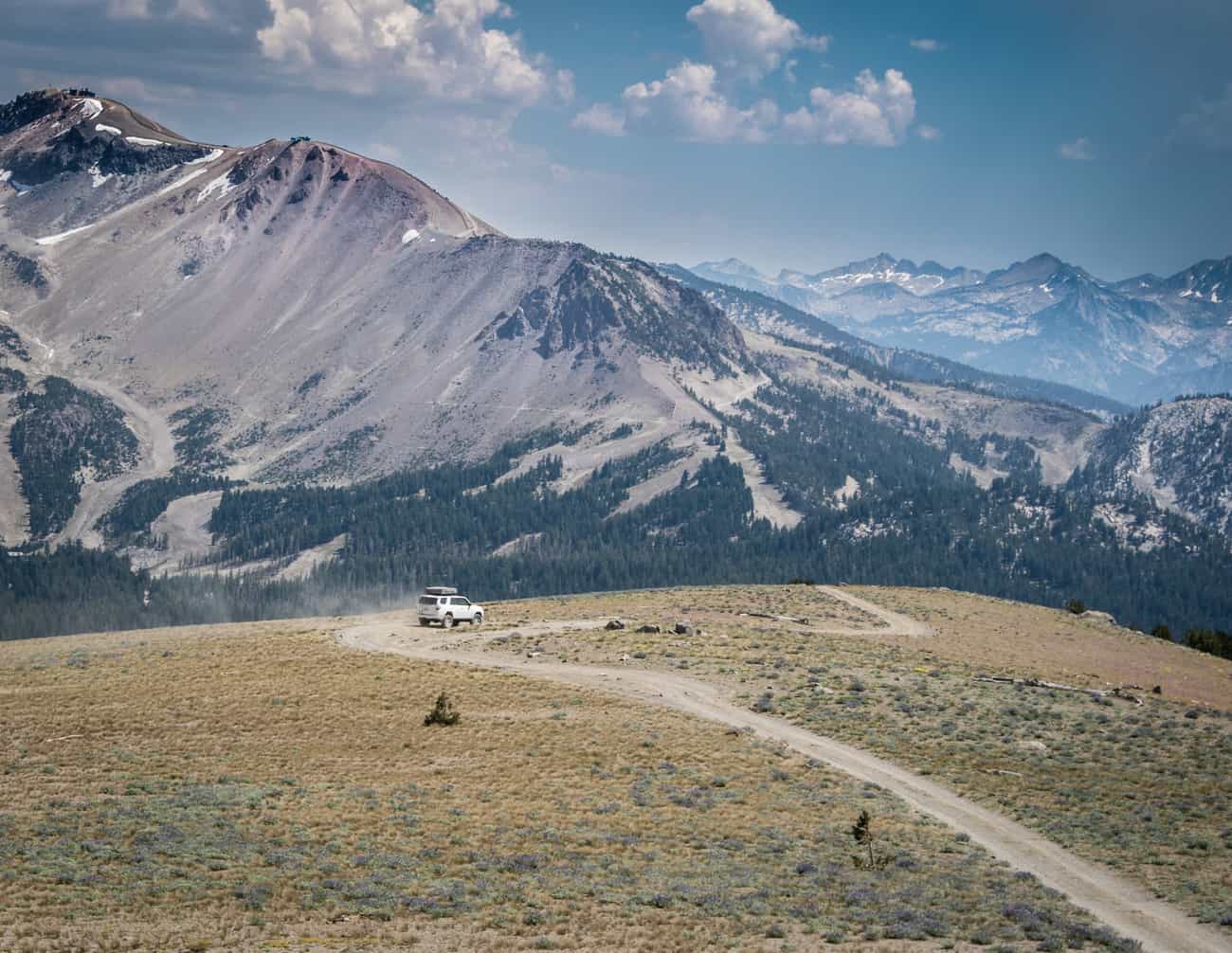
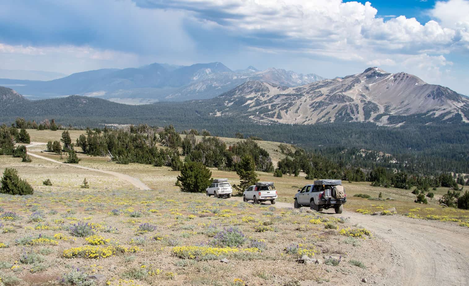
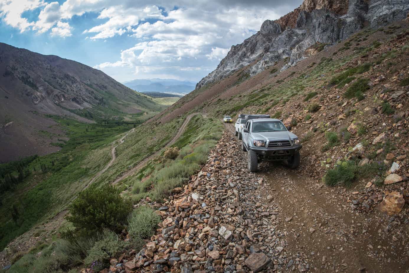
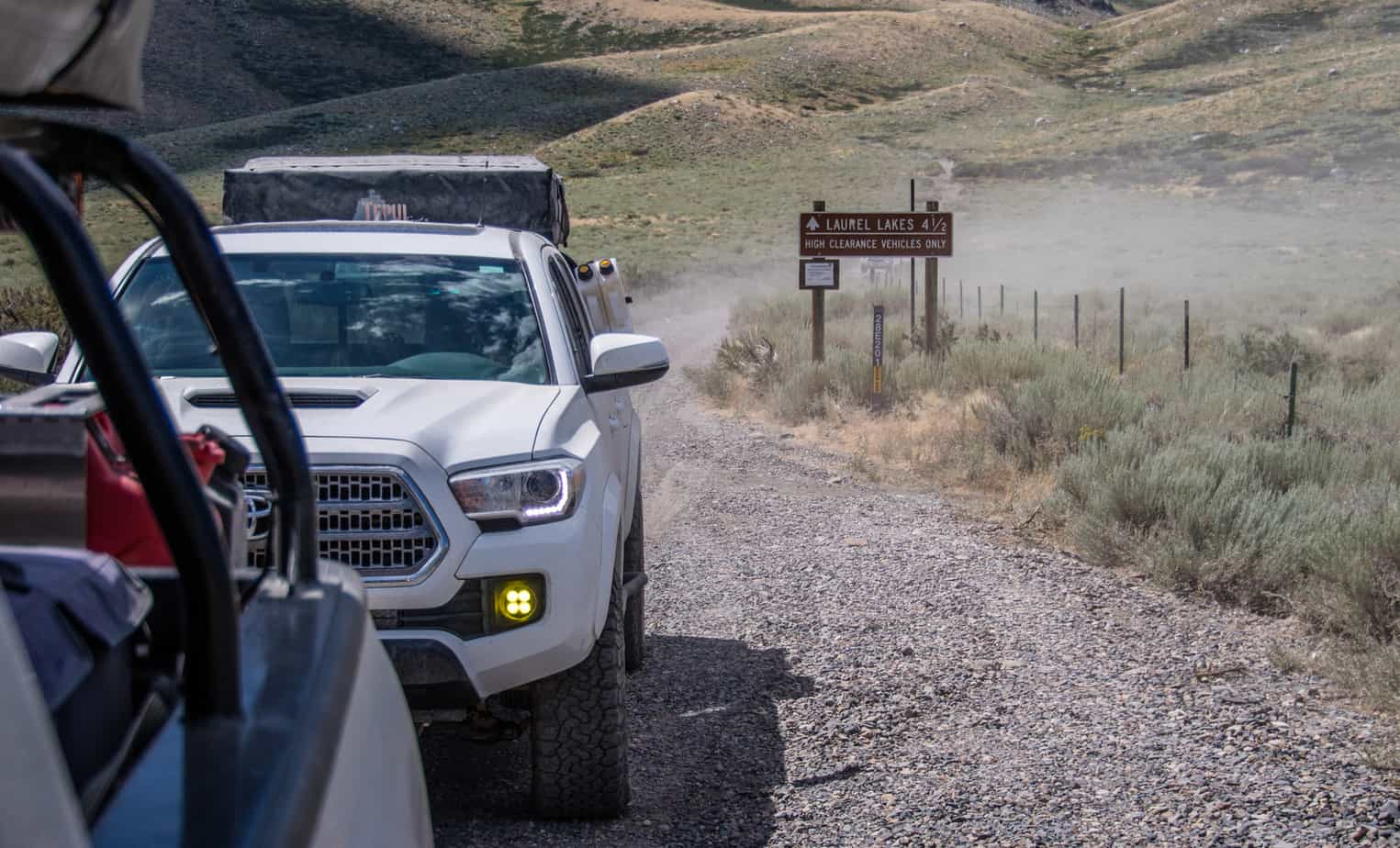
Deadman’s Pass northwest of Mammoth was next up.
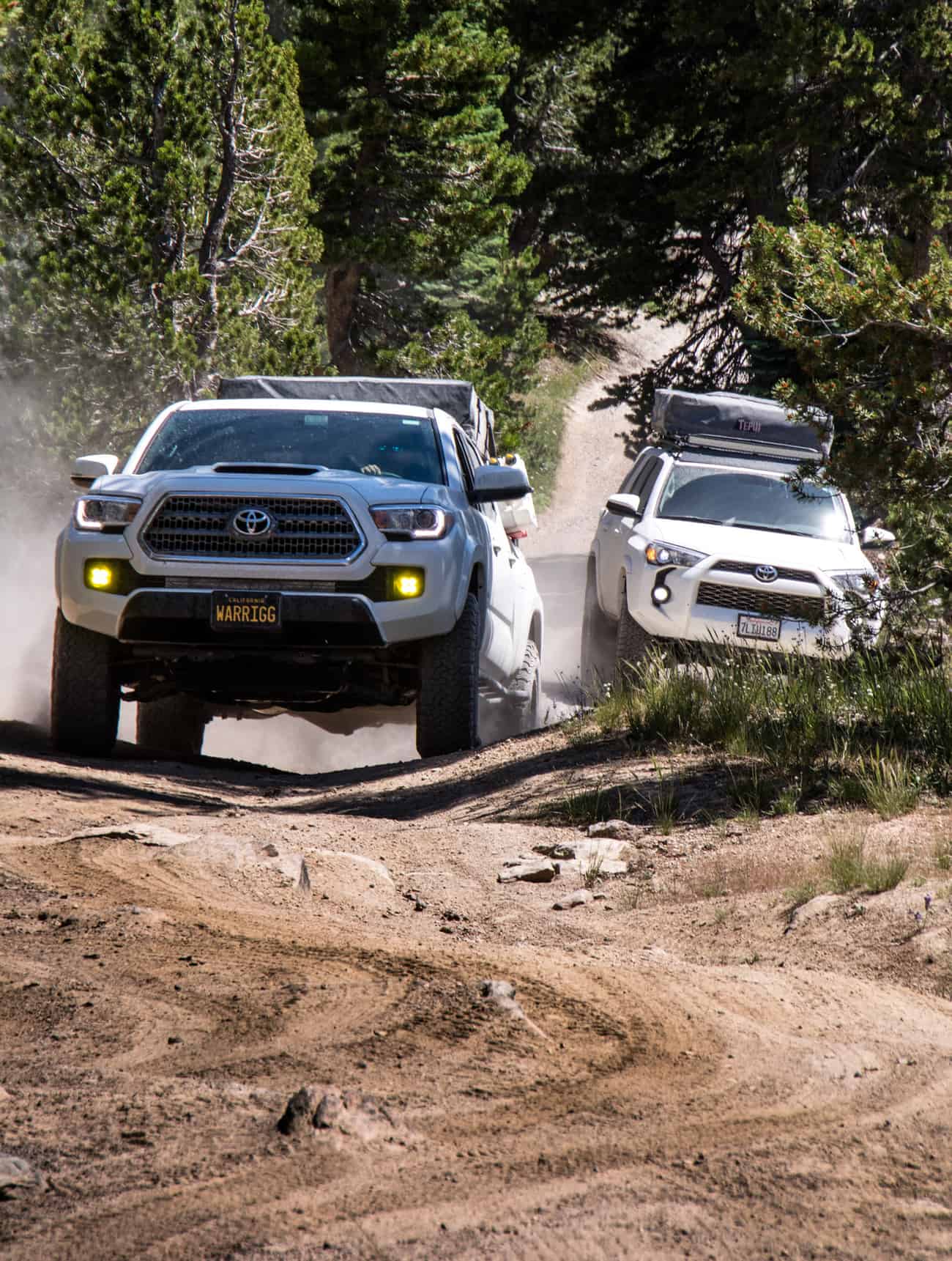

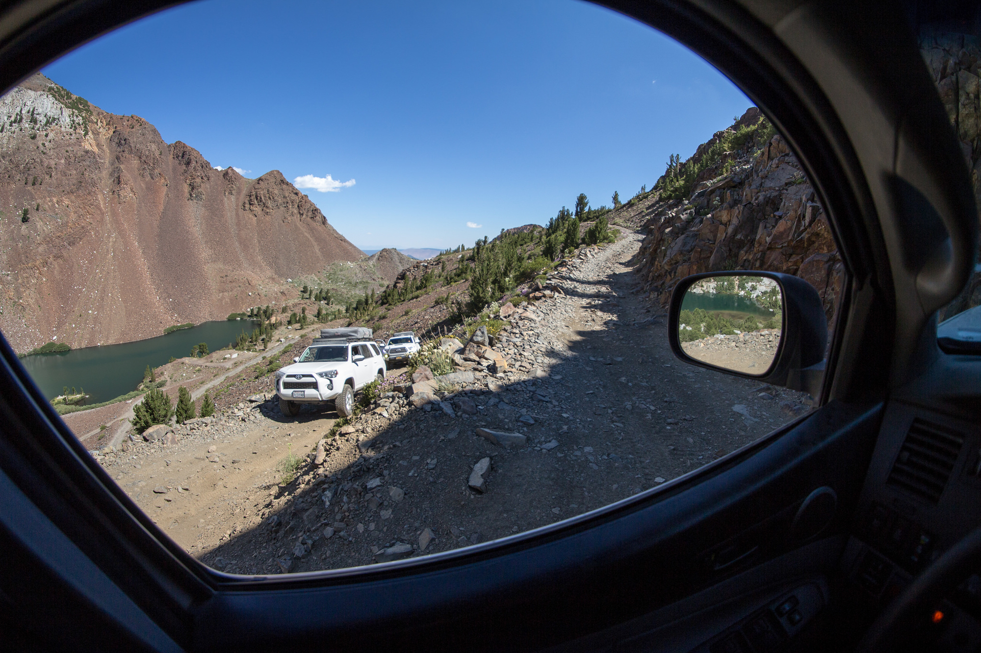
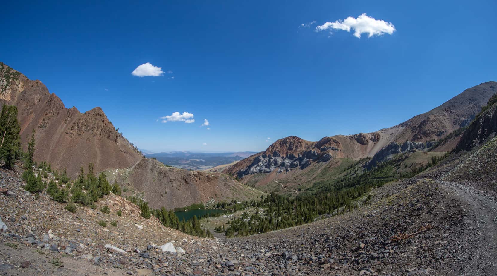
We didn’t spend much time at the top. Though the views seemed endless and the cool breeze was nearly perfect, we needed to start towards our camp for the night – Laurel Lakes.
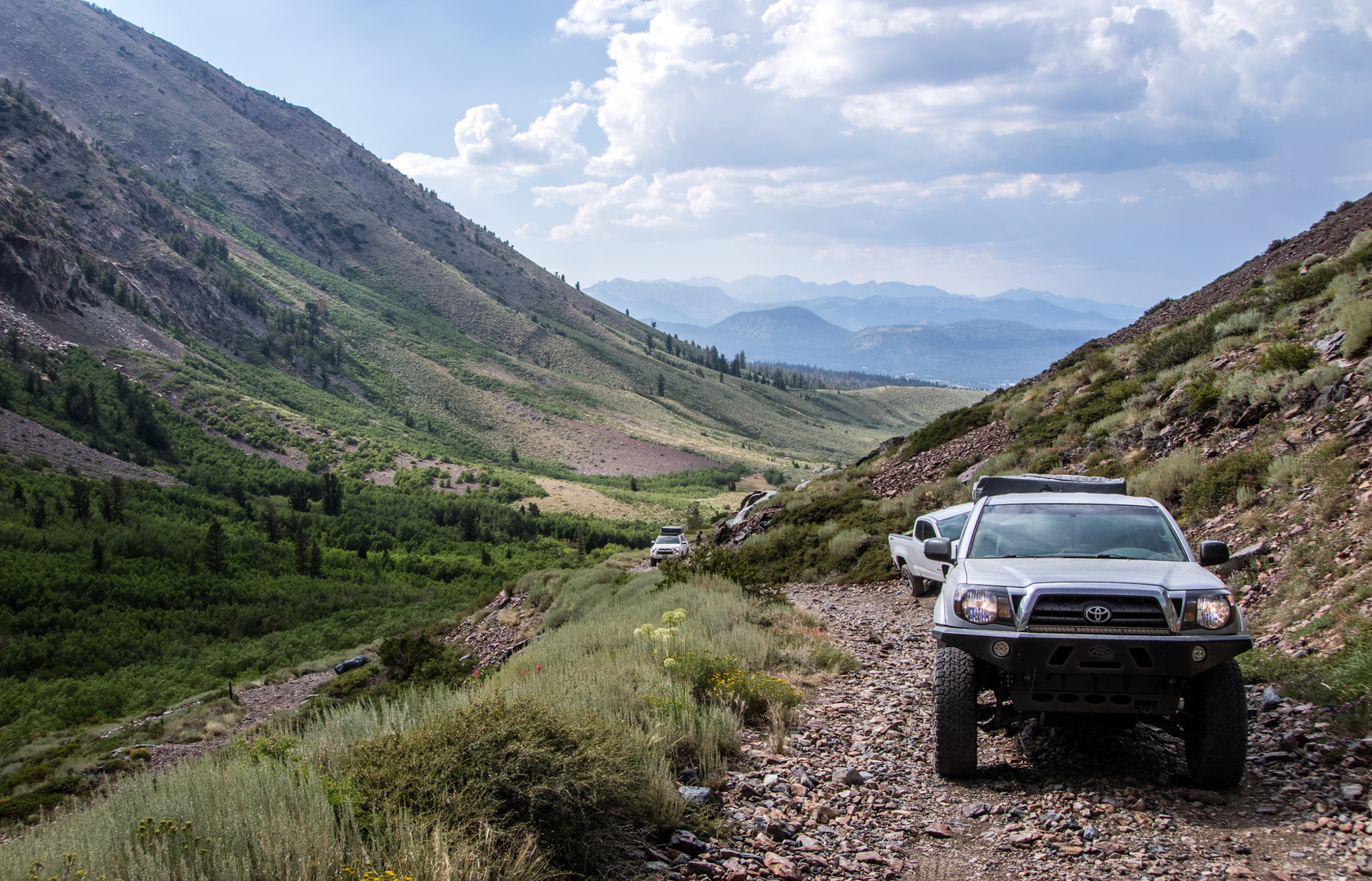
Coming up to the trail-head that leads to Laurel Lakes, there were a few vehicles in the parking area as well as a few people that appeared to be completing a day hiking throughout the local mountains. A bit further up a gentleman was walking up the trail with a gas can in a basic backpack which seemed rather odd. As we approached he turned around obviously now aware of our presence and stuck out his thumb. “Oh great…” was my first thought, but as I pulled along side I can see he couldn’t have been a hiker as he was too clean cut and not dressed the part. “Anyway I can get a ride to my truck? Can’t believe I did it, but ran my Colorado out of gas” he said as I got within earshot. Usually I’m not one for picking up hitchhikers, but the guy seemed genuine enough and didn’t appear to have bad intentions.
Told him to throw his pack in the bed and hop in. We began the journey up the long and windy mountain side and struck conversation. Ended up being a super nice guy – a local to the Mammoth area and a previous resident of North County San Diego. Before long we rounded a corner to discover his truck parked along the hillside. Bid farewell and continued towards the Lakes.
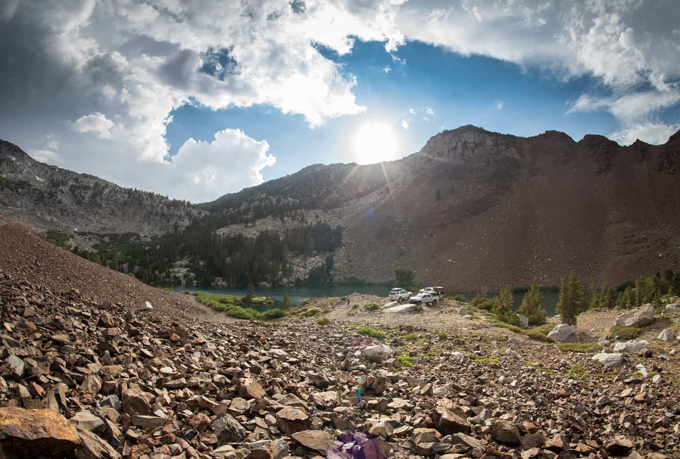
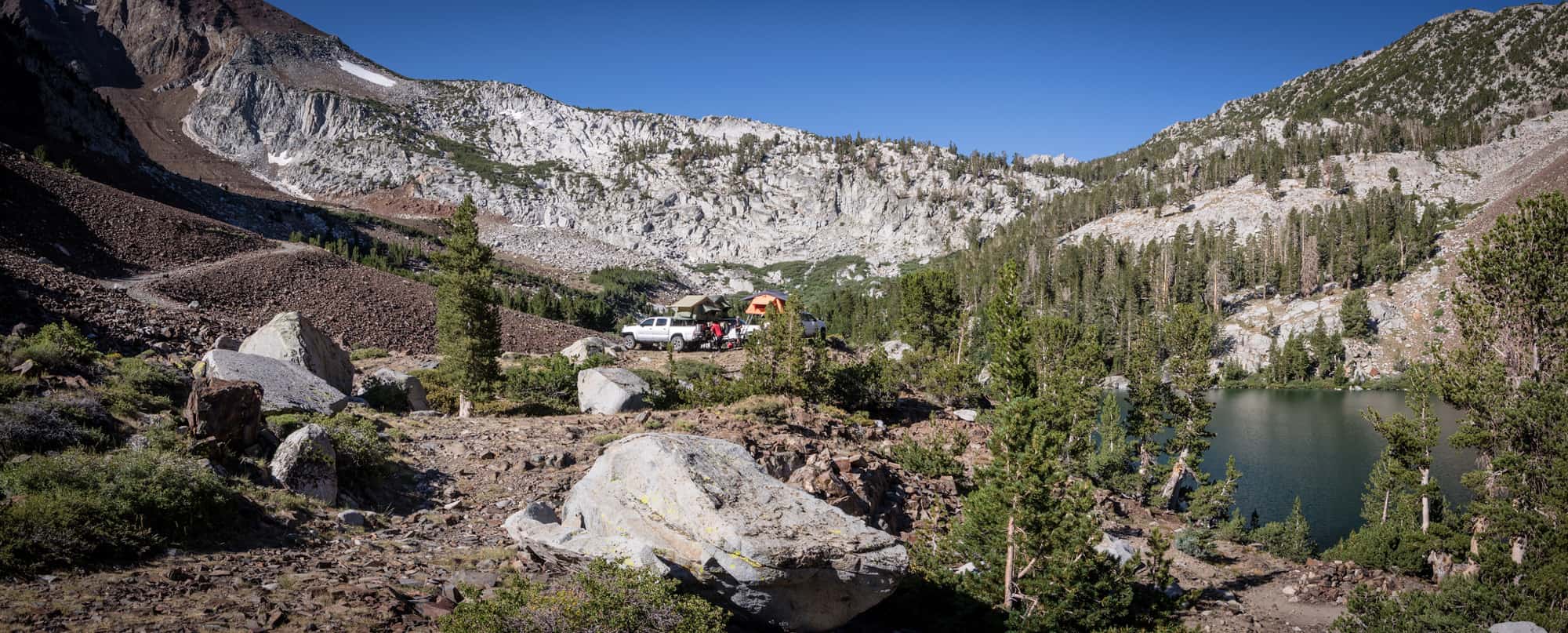
Upon reaching the high point of the trail the rain returned, bringing lightning and thunder along with it. Seeing a bolt strike the mountains peak right next to us then hear the sky rip apart was exhilarating and frightening all at the same time. We rushed down the switchbacks and found a spot suitable for the 3 rigs where we’d wait for the storm to pass. Eventually it did and gave way to some great weather to explore our surroundings. We found that we had the entire place to ourselves – just the way we like it.
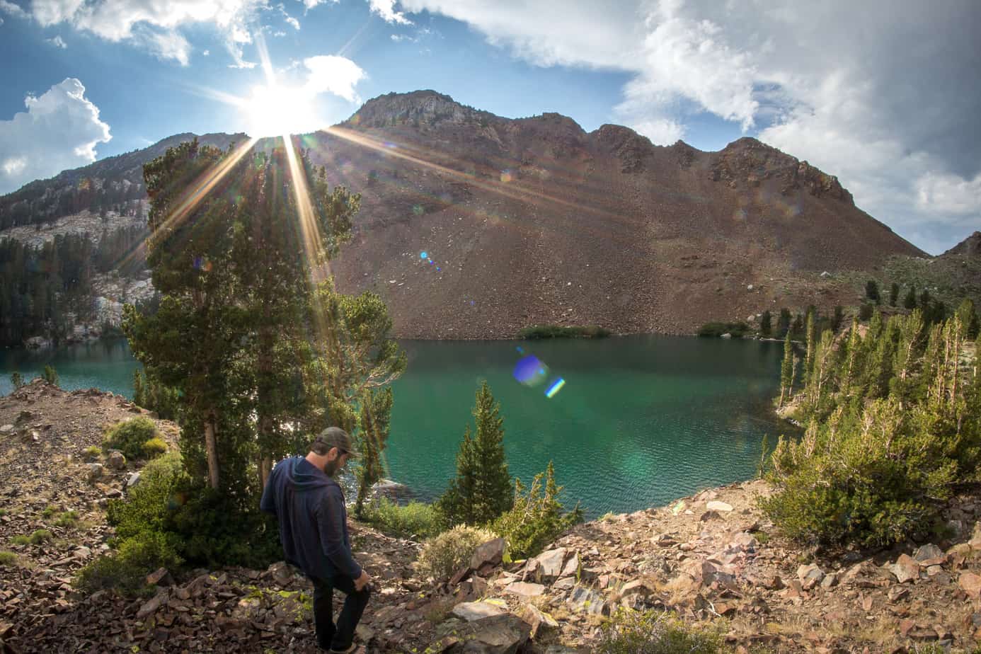

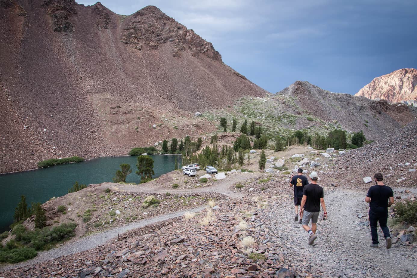
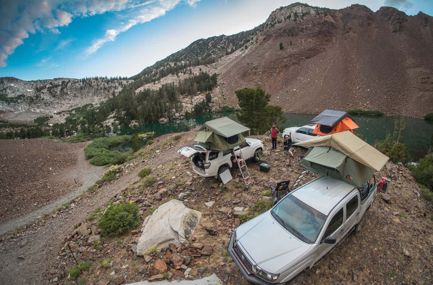
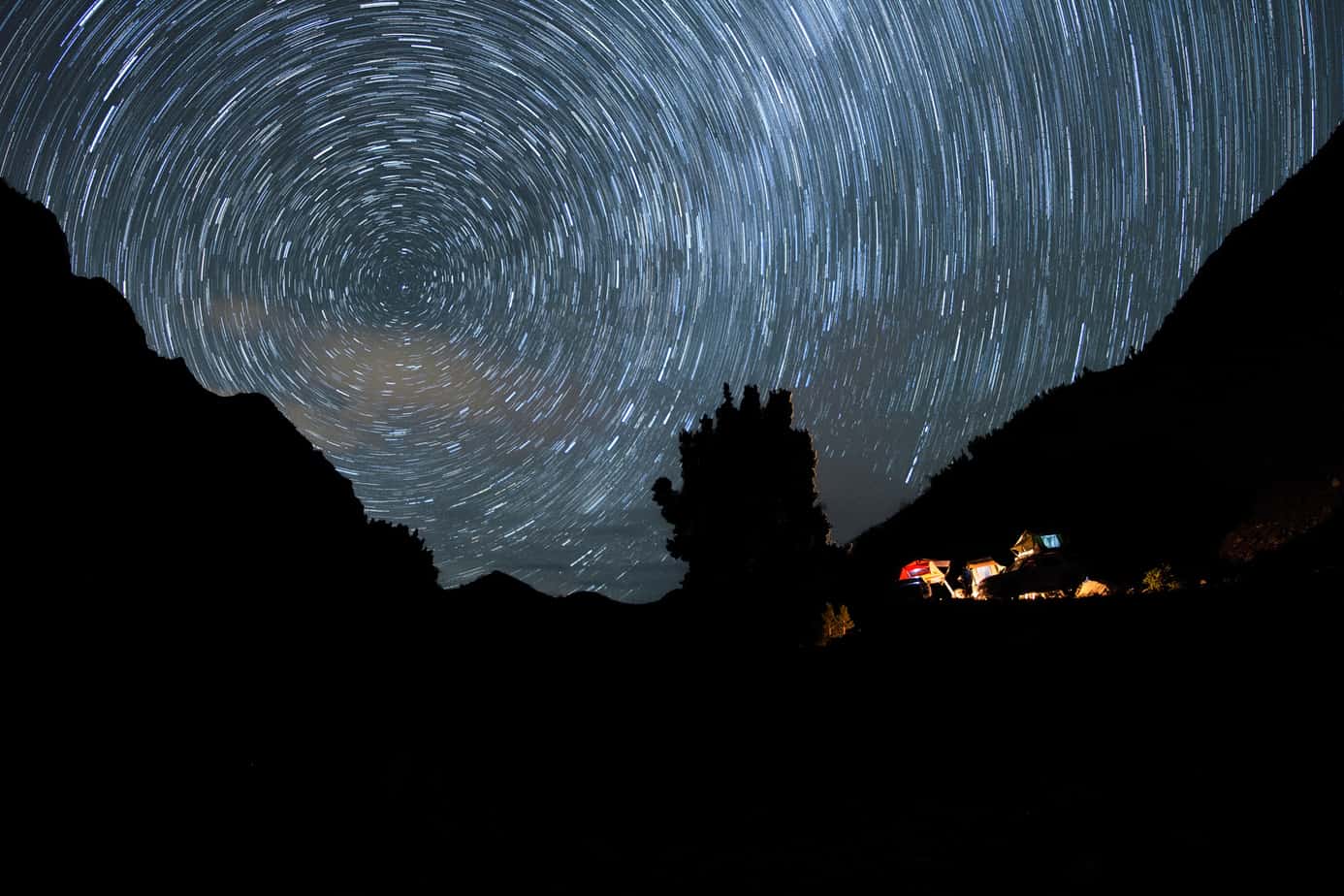
It was a long day and ended it like we always do – around a fire and looking at the stars.

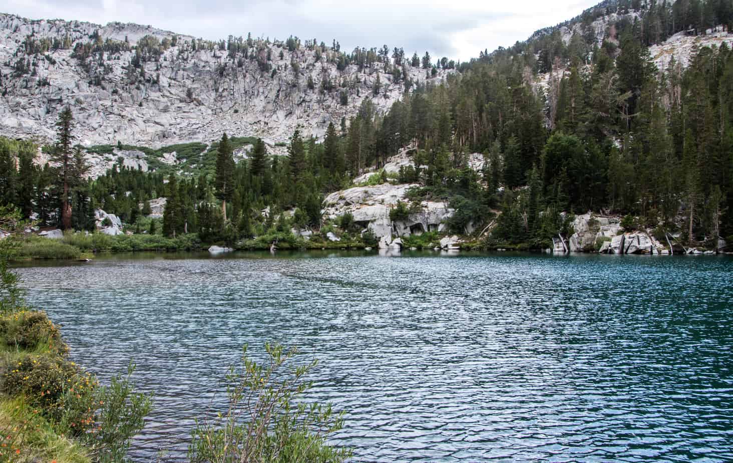
As it turns out, the Sierra’s are riddled with flying insects. Even more so when around a body of water. That morning it was very apparent that the bug spray went on way too late and we were eaten for dinner by the lake locals. Red bumps and itching isn’t the best way to start a fresh day – but we survived. Regardless, we really took our time getting ready with a warm breakfast and hot coffee before packing up and organizing for the adventure ahead.
Lot’s of ground to be covered today so let’s get started!
Step 1 – Return to Mammoth for fuel and a quick car wash… (yup, that happened.)
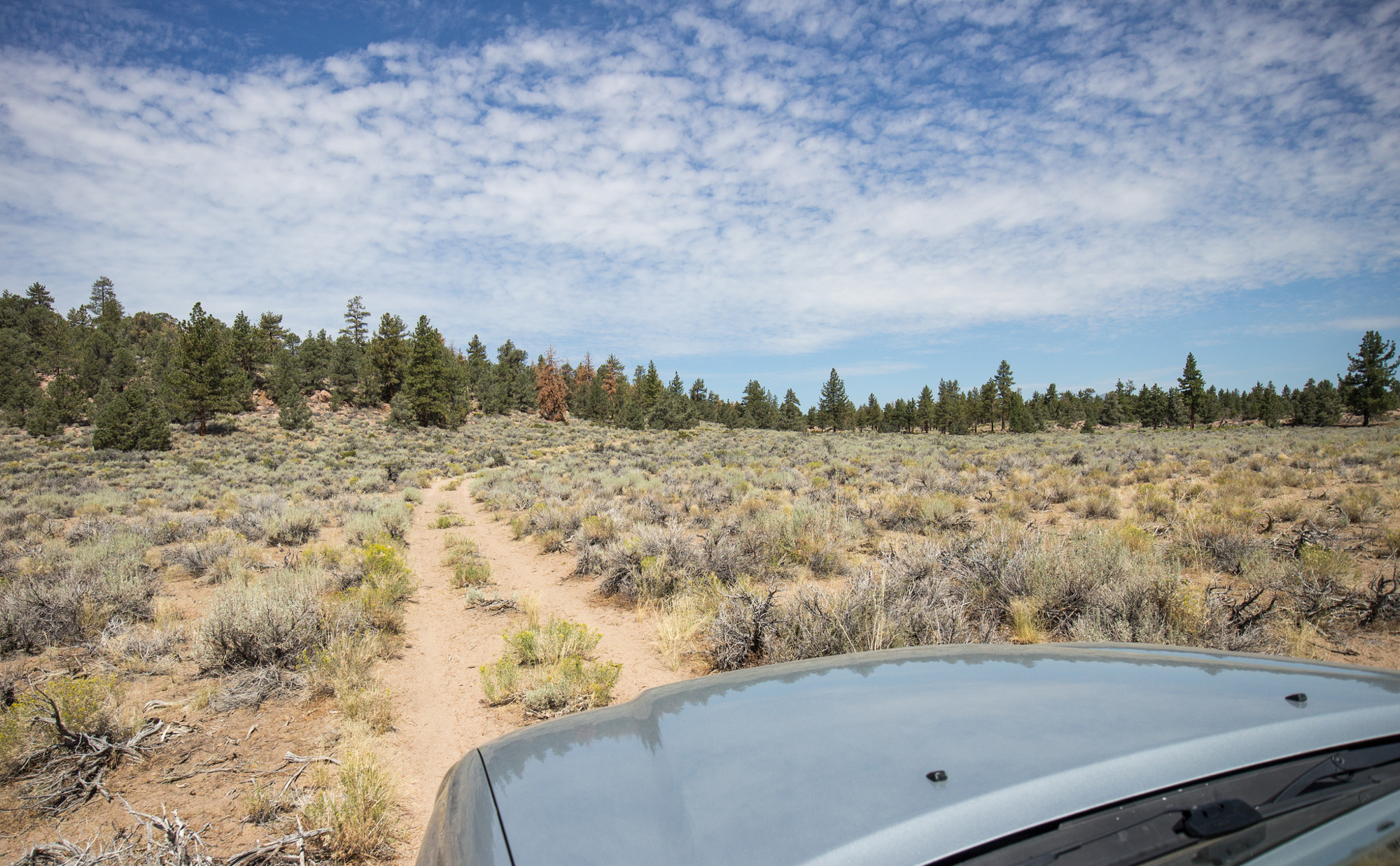
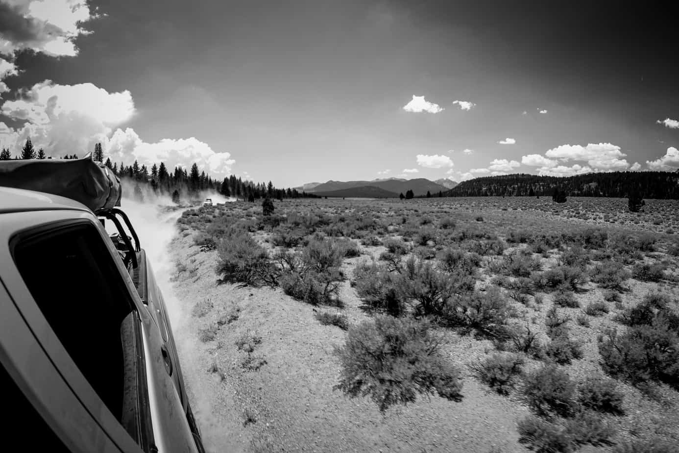
 Step 2 – Cross over the 395 to take forest roads north towards Mono Lake. Not much time was spent on photo’s for this particular section as it closely resembled areas we’ve already been through. Instead we put the pedal down and enjoyed the smooth trails through the trees.
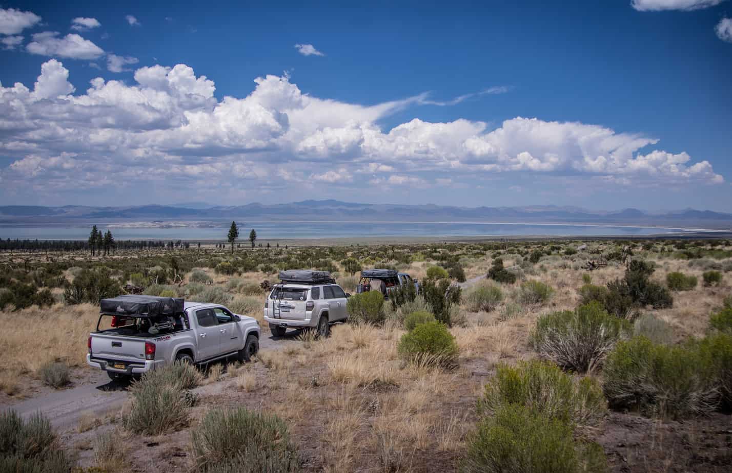
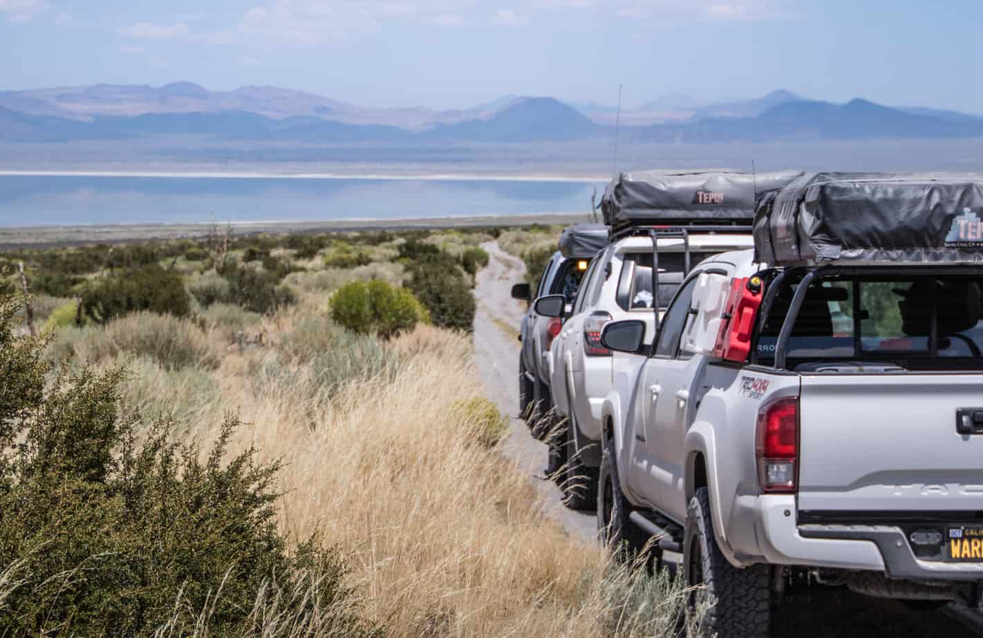
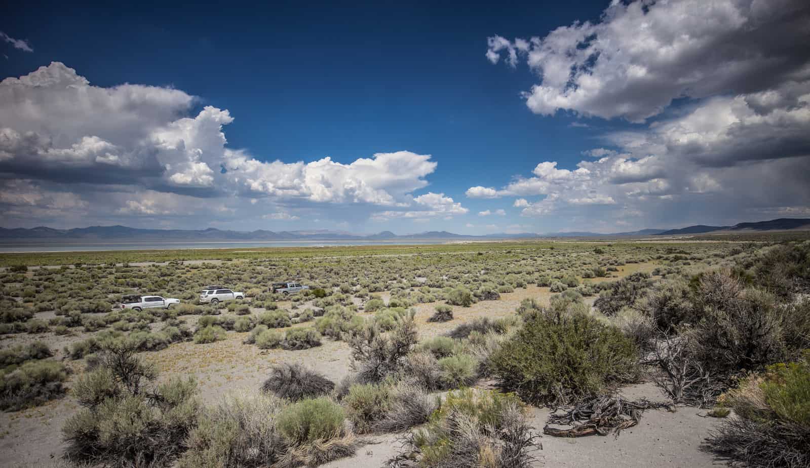
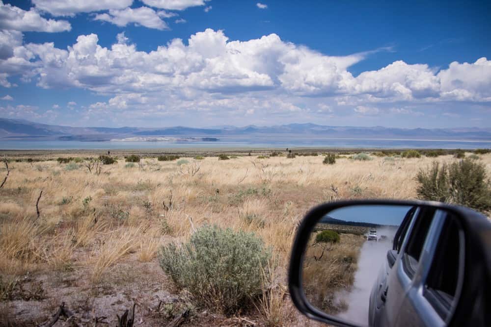
Eventually the trees come to a abrupt end as you cross over Hwy 120 and the size of Mono Lake dominates the horizon. Bright blue sky reflects off the salty water giving it a surreal type appearance. From the 120, Old Bodie Railroad Grade eventually ends at 1N54B – a narrow and silty path around Mono Basin. By far the dustiest section of trail in recent memory – it was mostly a chore and rather eventful other then the memorizing view out the driver side window.

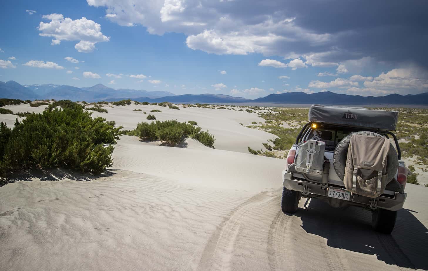
On the eastern most edge of the lake, the trail “Y’s” off into two different directions. The original planned route to the left was blocked by a rather large and questionable ravine. The right was a straight shot towards Pole Line Rd. I decided to follow the original route so at this point the group went in two different directions for a few miles and were to meet up at the road crossing. Eventually the direction I took led to run along sandy two track and through a stretch of white sand dunes – some of my favorite terrain to drive in.
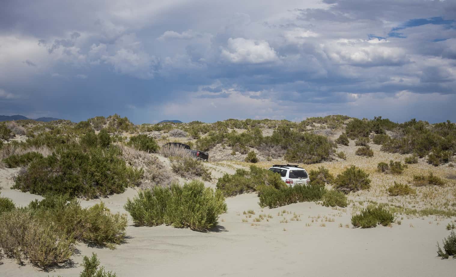
All was going well until something shiny in the distance caught my attention. A mid 2000’s Tundra and a smaller 4 door car appeared stuck in the soft sand directly on the trail blocking passage through. I stopped a ways back and observed my surroundings. No one was around and only a single set of footprints nearby. I locked up the truck and proceeded by foot to scope out the situation, slowly approaching the vehicles from the side. Getting closer I could tell that a vehicle was running, then could see figures inside the car through the dark tinted windows. The rear door suddenly pops open and a older man emerges, looking pretty wiped out from either sun exposure or some type of substance. I asked if everyone was OK and if they need any water or supplies but the offer was refused stating that they had what they needed. The only request was if I had a tow strap and could help them out. Quickly examining their situation, knowing the sand was quite soft in this area, my truck being a overweight pig and currently alone I reluctantly said there wasn’t anything I could do. Apparently they had a tow truck on the way so I wished them the best and continued on my way. Honestly, it was a weird deal and didn’t feel right and glad I got out of there. In all reality, probably over thinking it but better safe than sorry.
Now, the tricky part was figuring out how to get around and back onto the main trail. The sand was soft and covered in bushes and vegetation. I spent some time walking around and plotted out a path that wouldn’t leave any sort of imprint other then tire tracks in the sand.

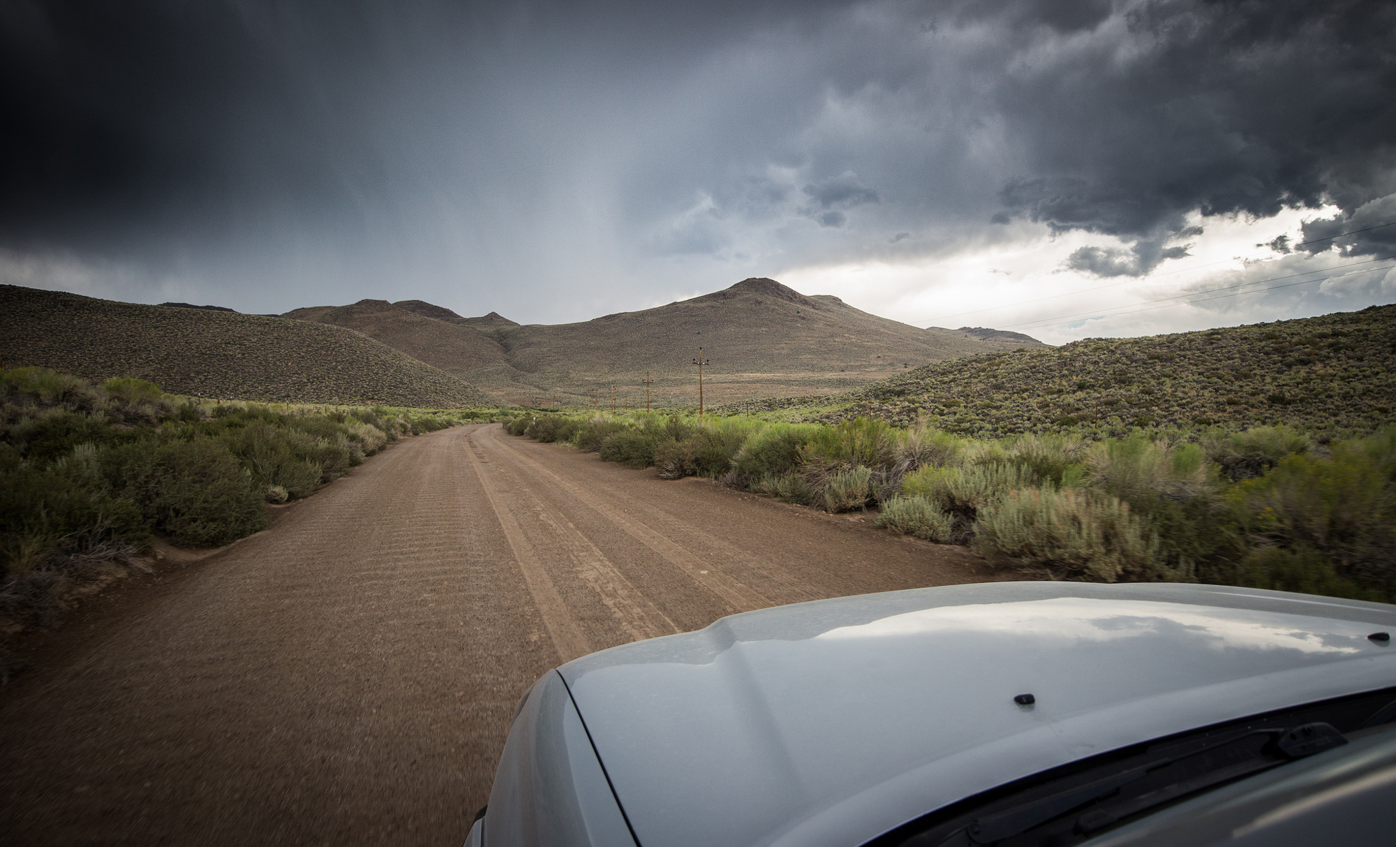
Met up with the group on the other side of the highway and we made our way to Cottonwood Canyon Rd. The clouds we saw from a distance while driving around Mono Lake had intensified and were moving into our direct path. As we got closer the rain began – followed shortly by hail, then heavy downpour.
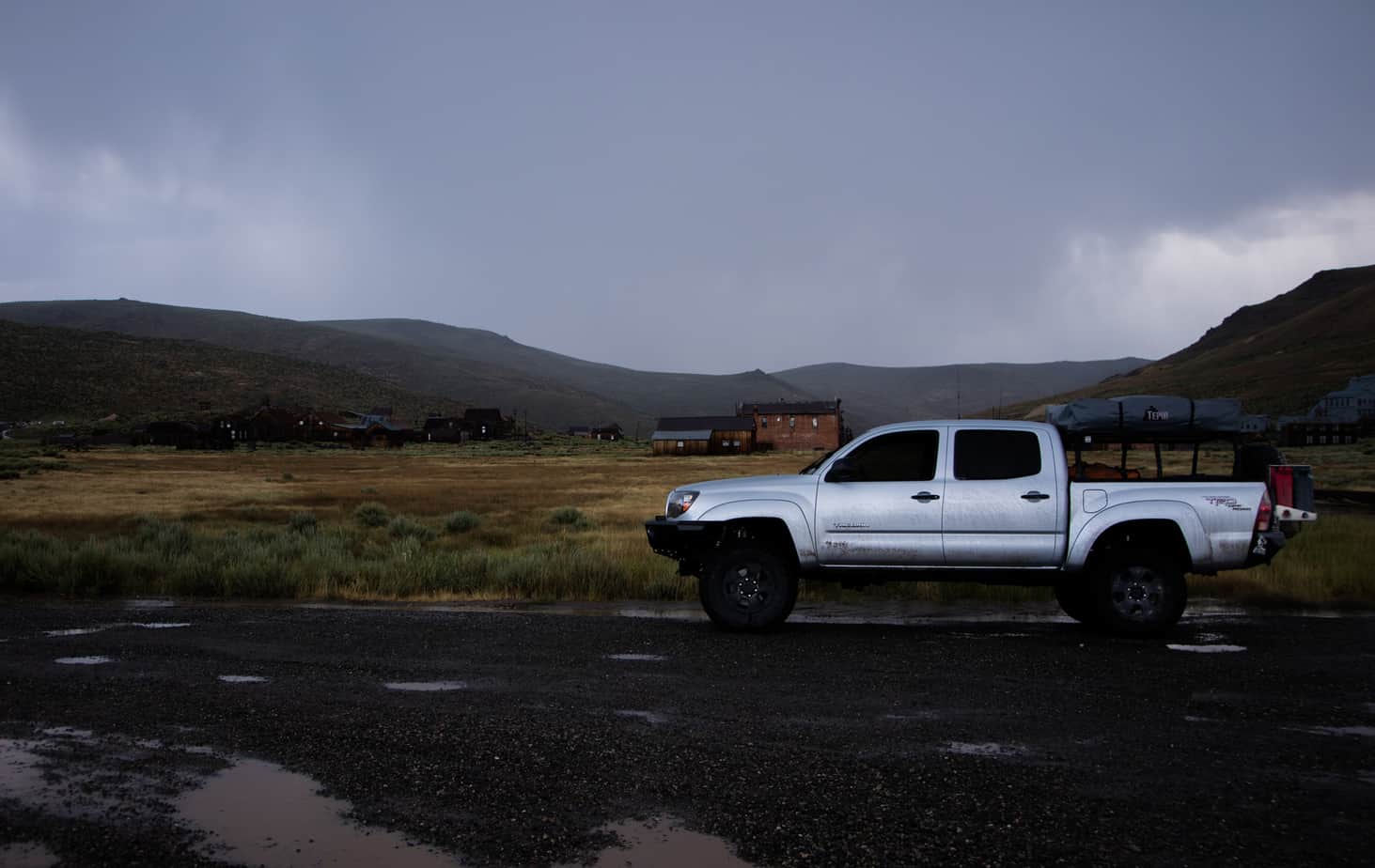
Step 3 – Visit Bodie Ghost Town during a raging thunderstorm… but this and even more amazing places await in part two of this story.
This story was originally published on Explore Desert’s website which can be seen here. We thank them for their generosity in sharing this adventure, and look forward to sharing part two!