
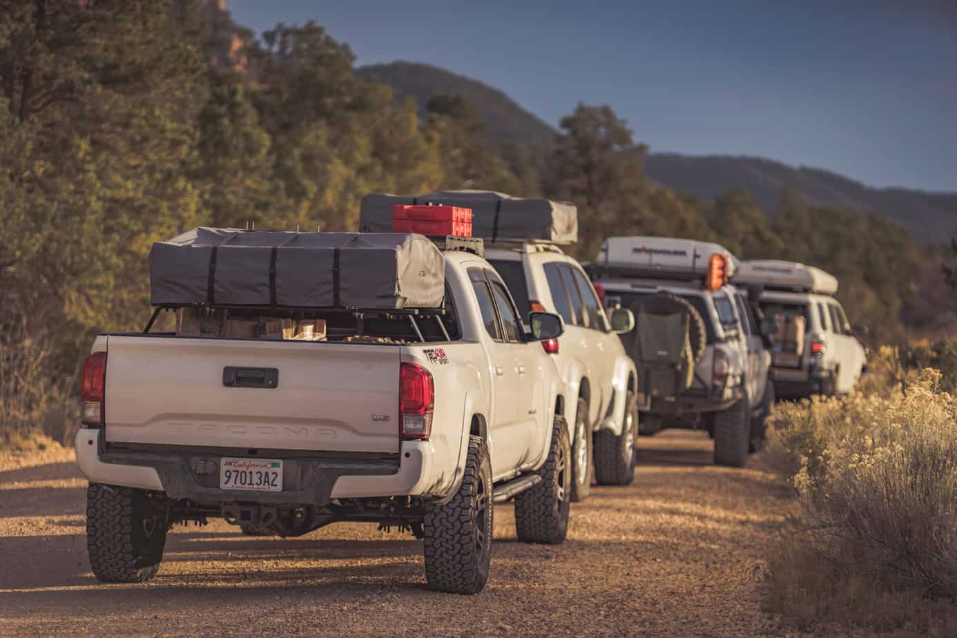
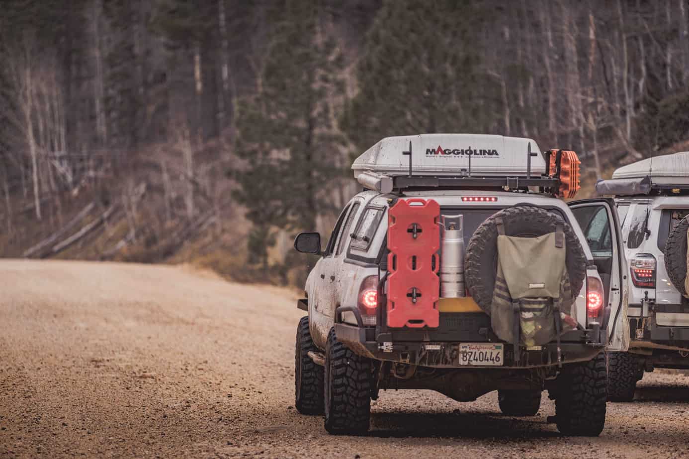
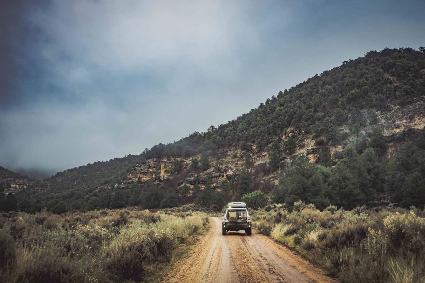
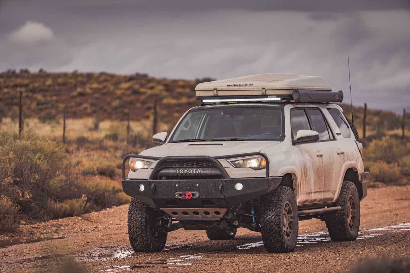
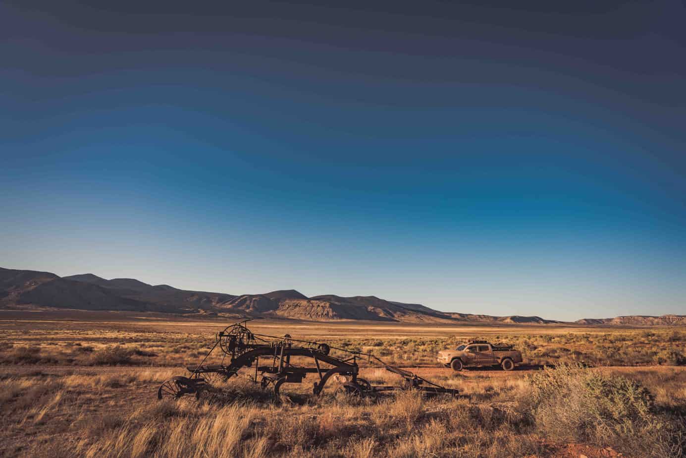
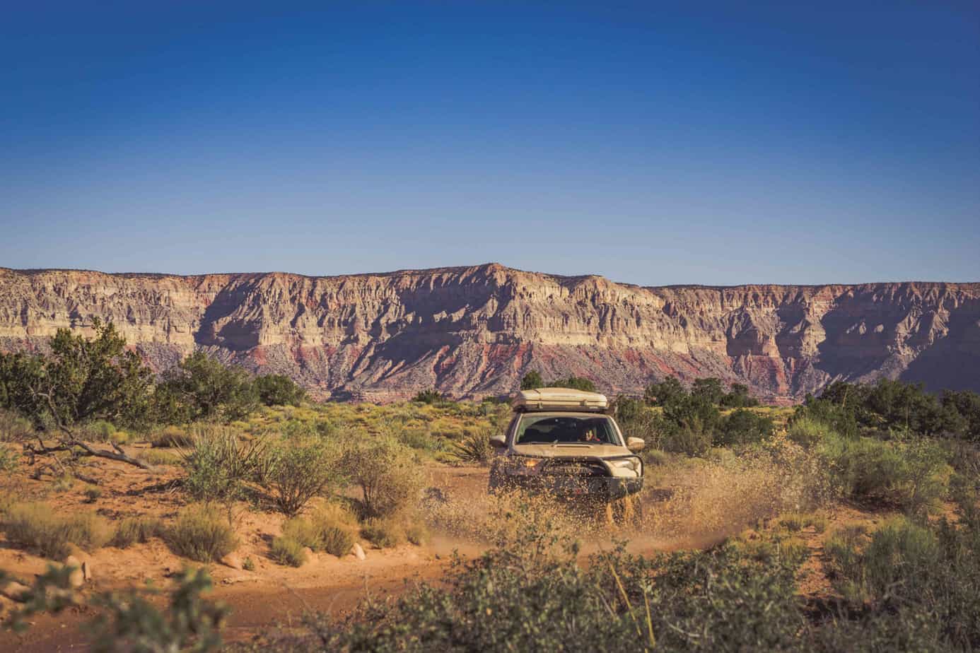
The last few months of meticulous preparation had led us up to this point. It was a trip of over 4 years in the making for us, as we could never find the right time to go until now. Our route would take us along most of the North Rim of the Grand Canyon almost entirely on dirt, dipping into national park, national forest, and BLM lands.
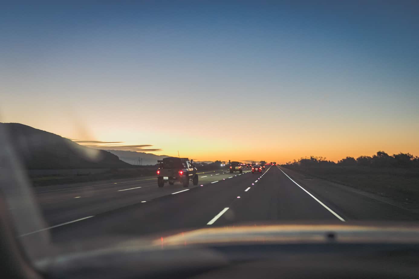
Reality quickly set in as we topped off our fluids, made some quick route alterations, and checked the weather reports one last time before setting off for Fredonia, Arizona. We met up together at our first campsite at Parasawampitts Point—too tired to stay awake after our long 15-hour drive.
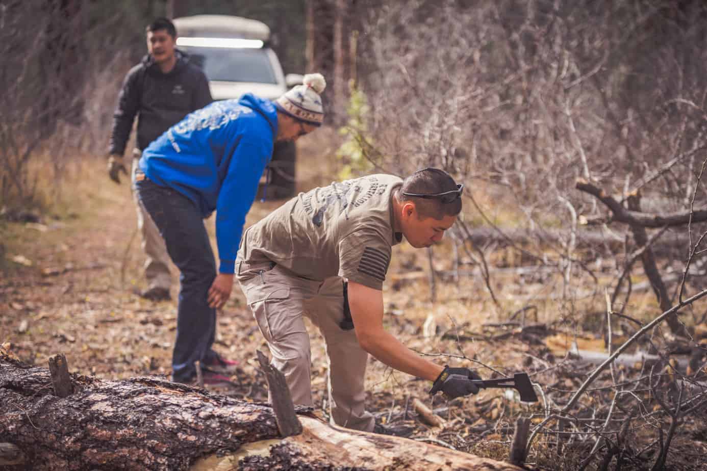
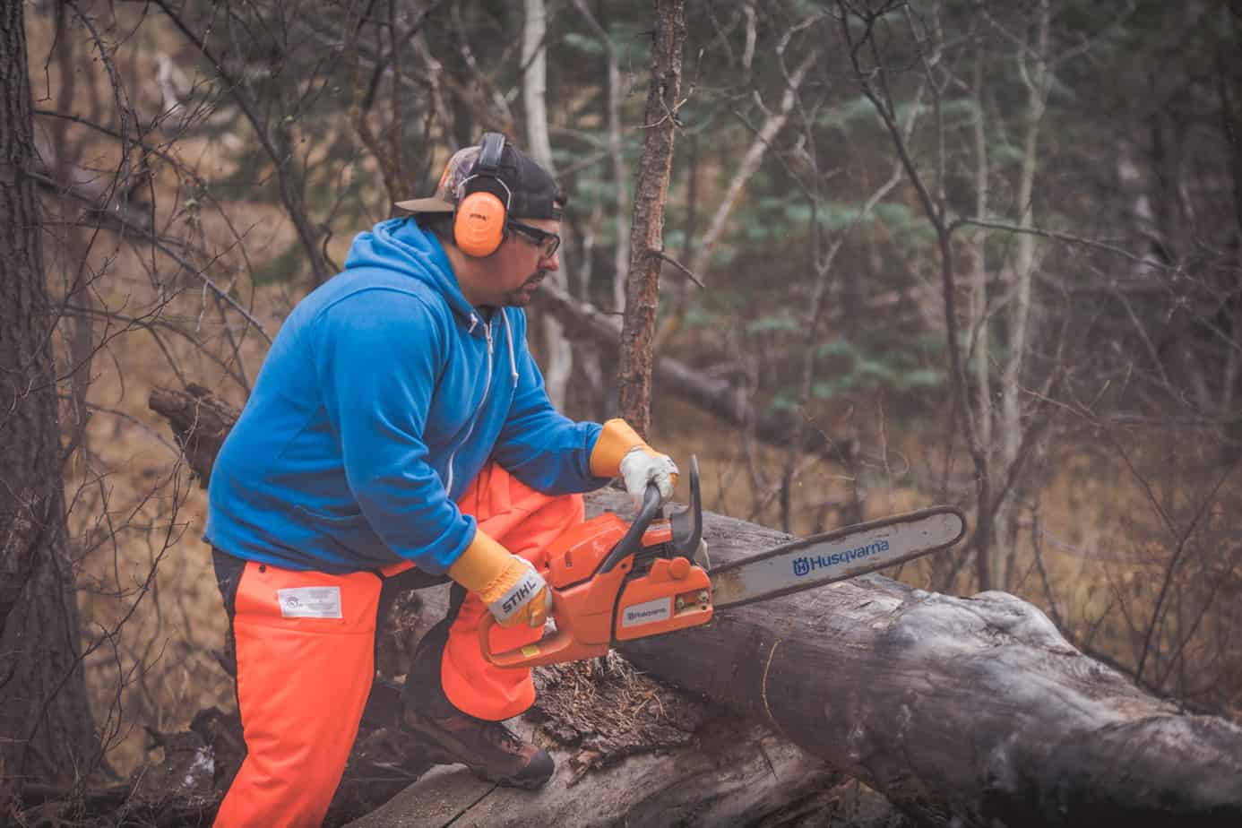
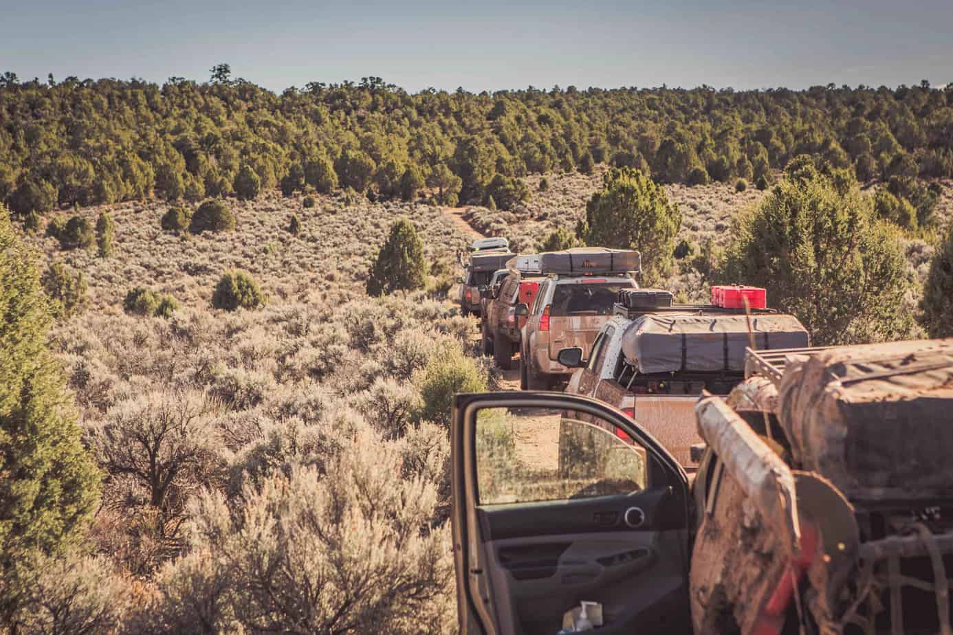
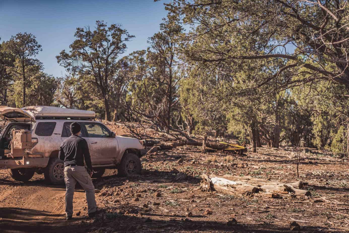
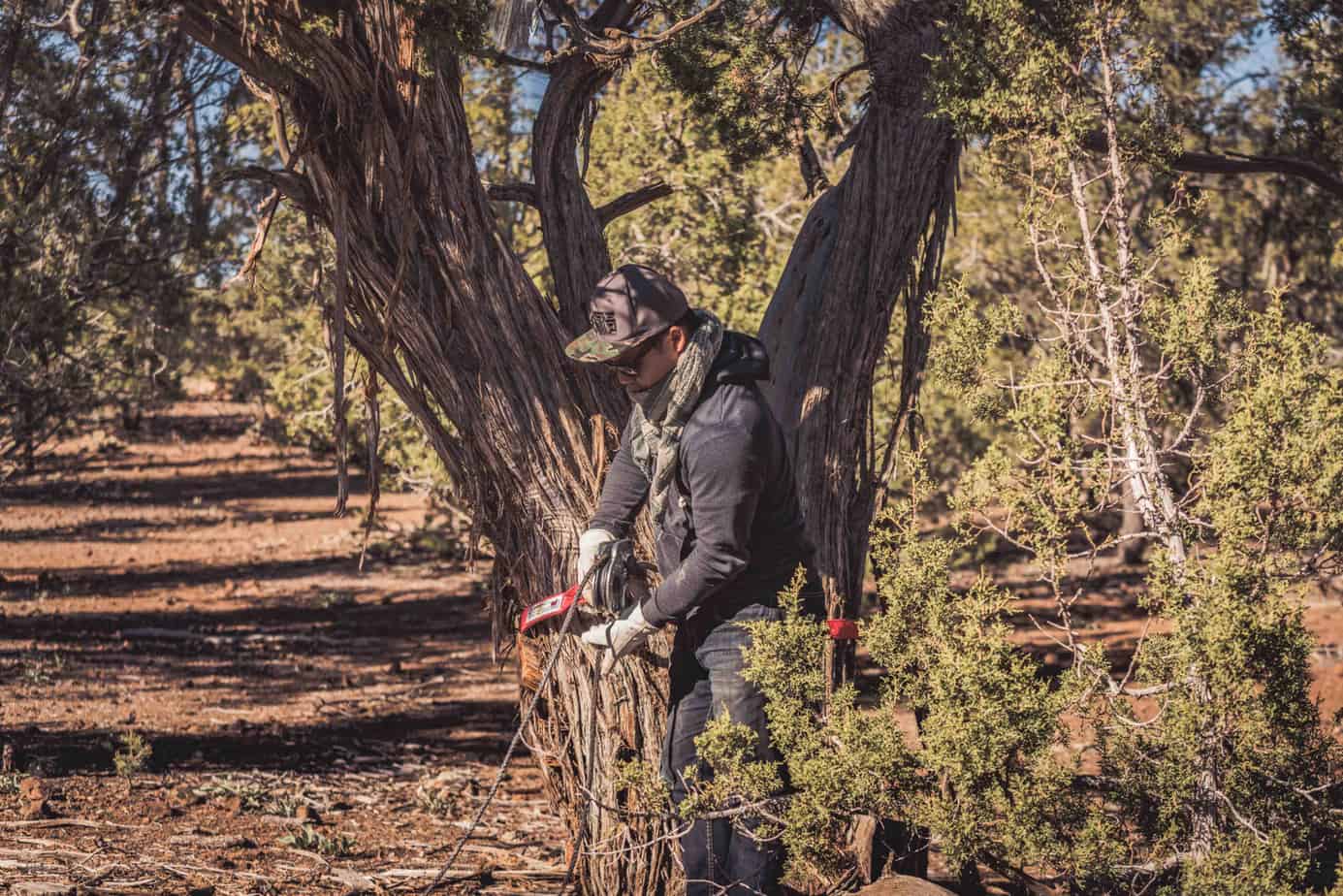
We opted to skip the hike to Parasawampitts Point the following morning, hitting the trail to Point Sublime early as we had a long day of driving ahead. A downed bundle of trees along Point Sublime Trail halted our progress, requiring us to deploy the chainsaw and winch to clear the trail.

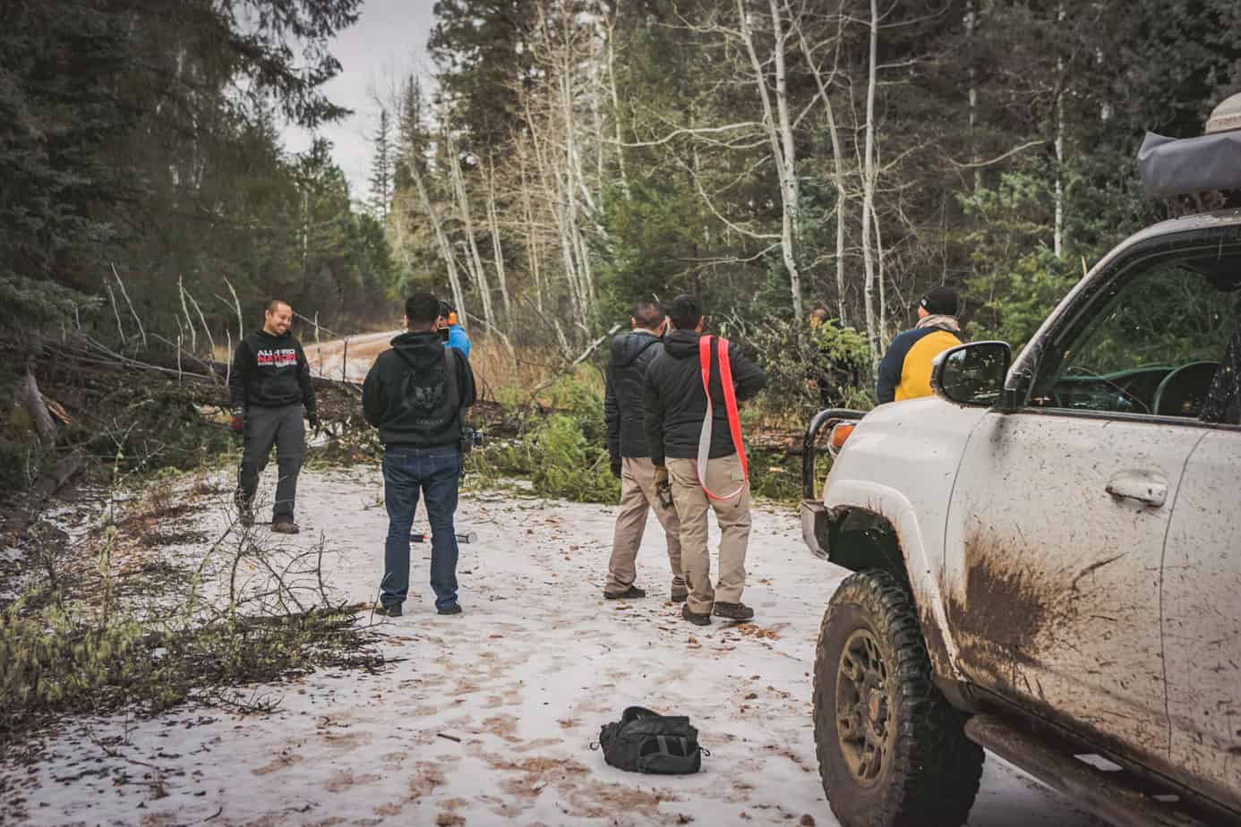
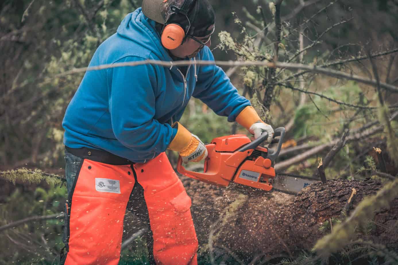
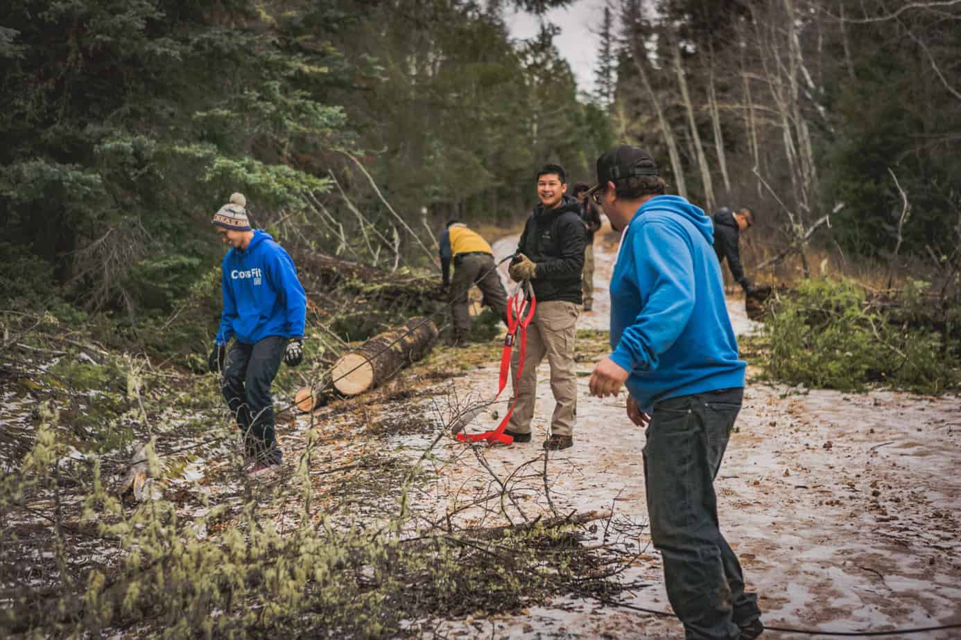


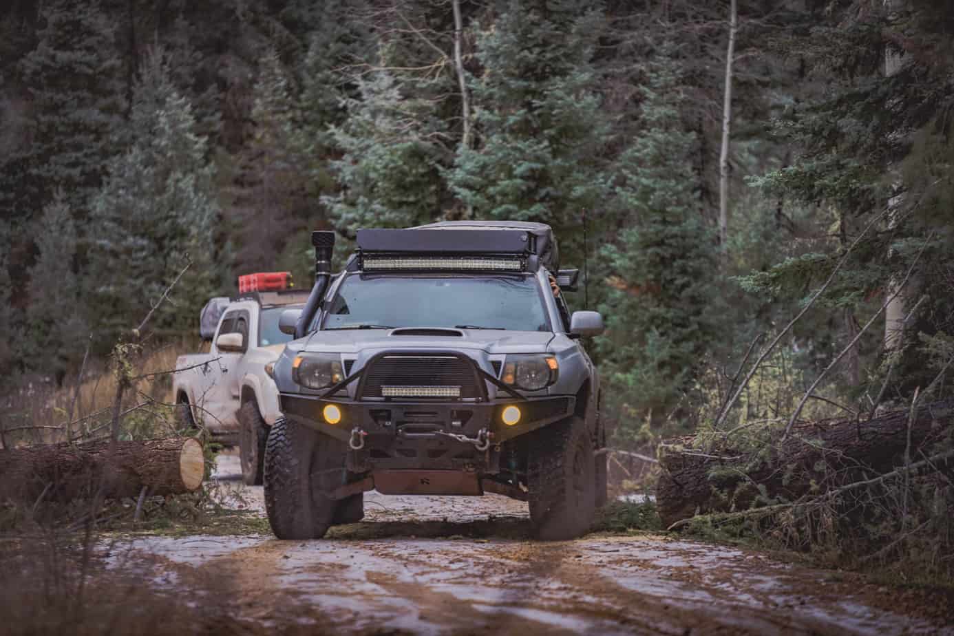
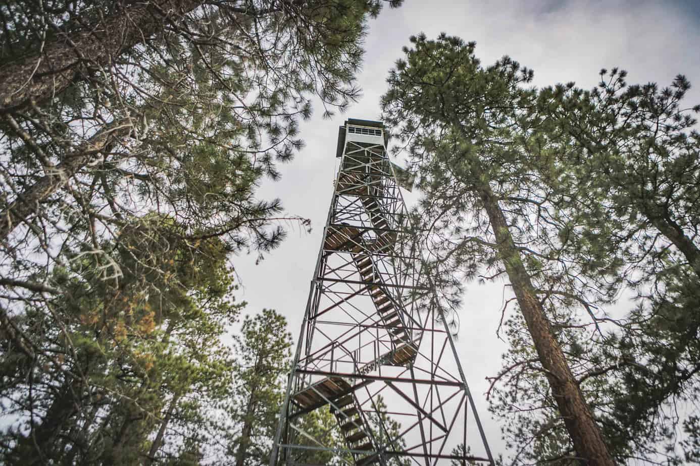
Free from the downed trees at last, we continued on the trail further down Point Sublime, deciding to take a quick shortcut to Kanabownits Lookout Tower which provided us with our first glimpse of the canyon below. We were stopped again several times by deadfall, and worked to quickly clear the route.
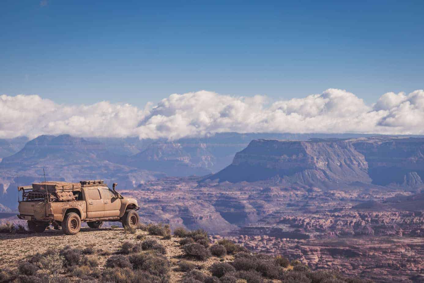
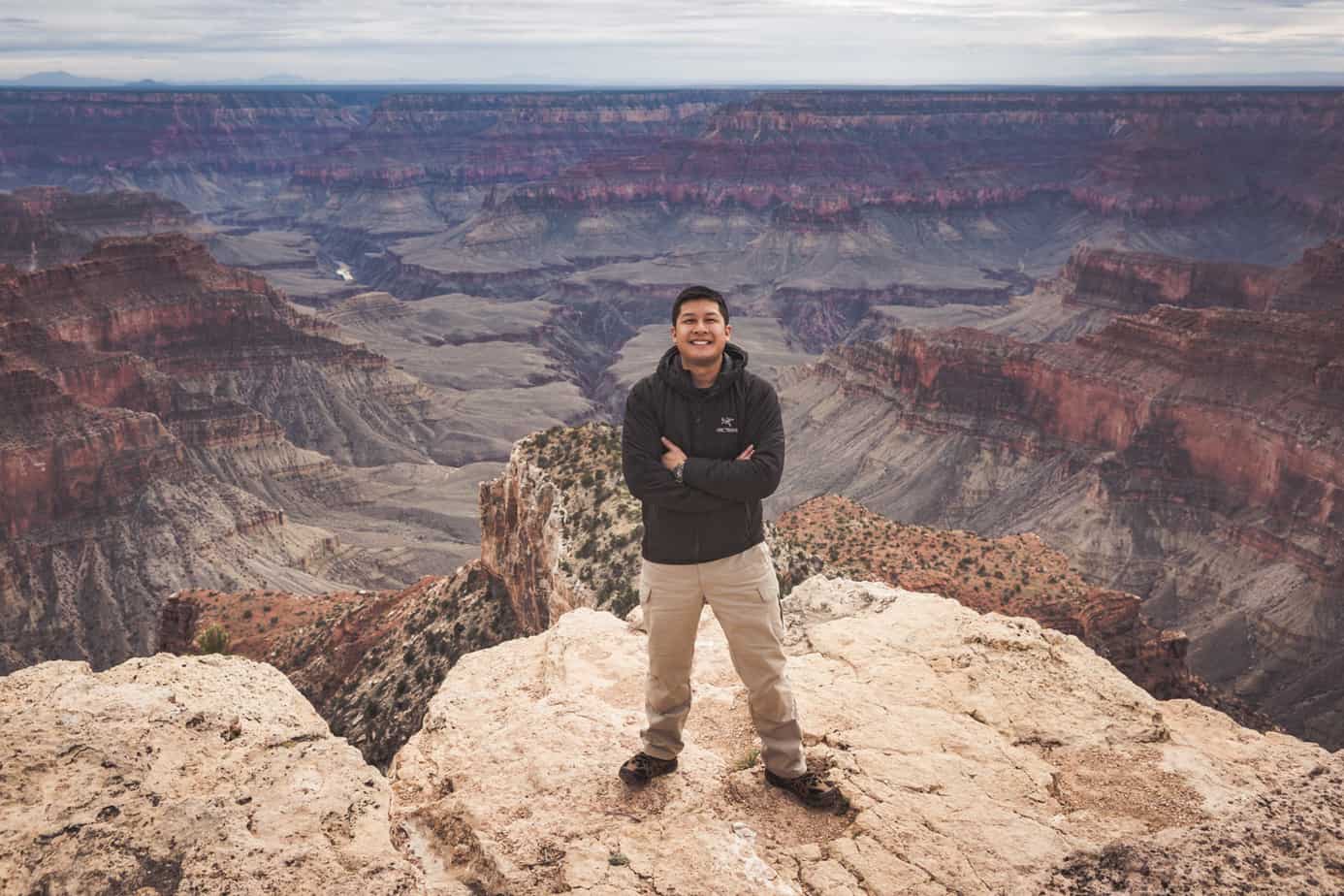
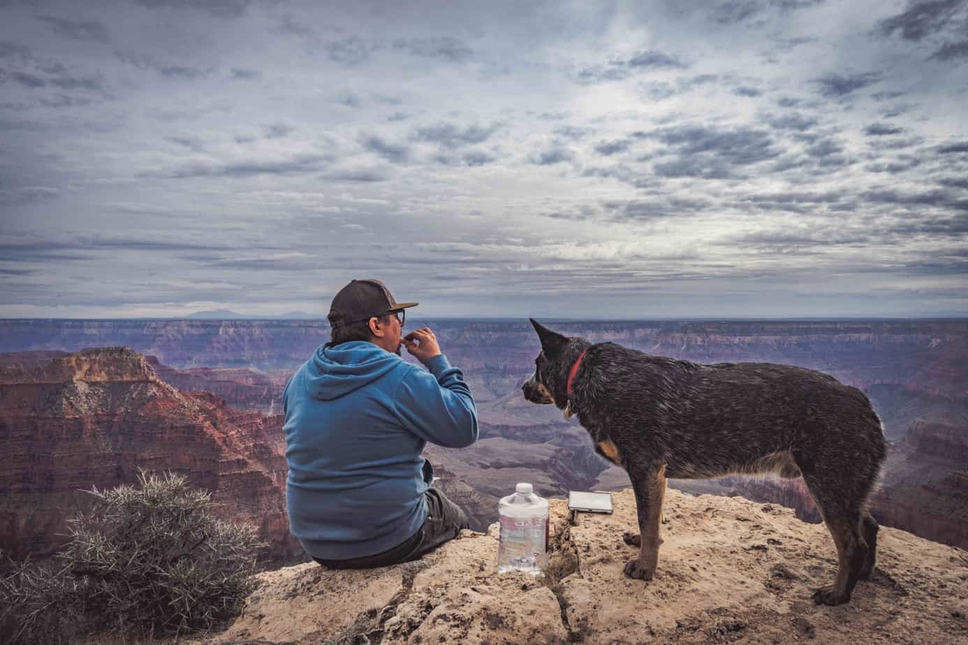
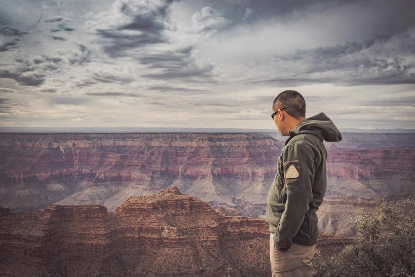
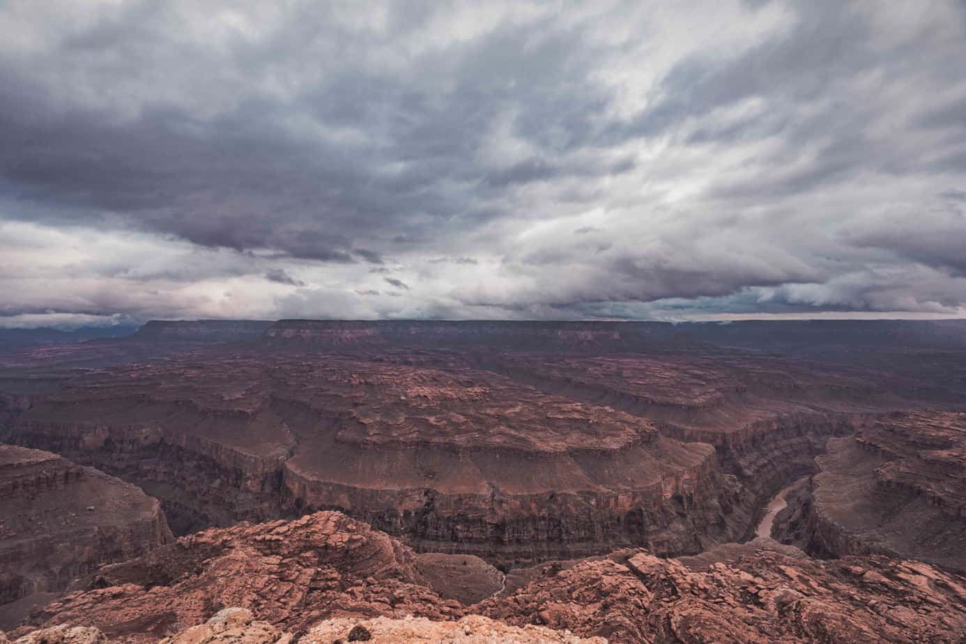
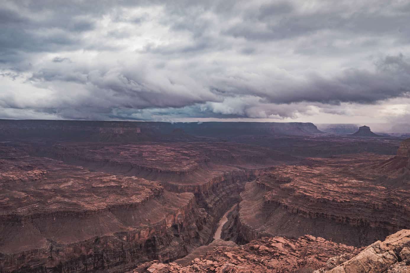
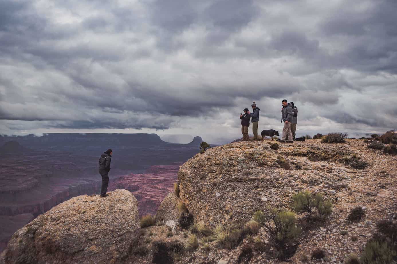
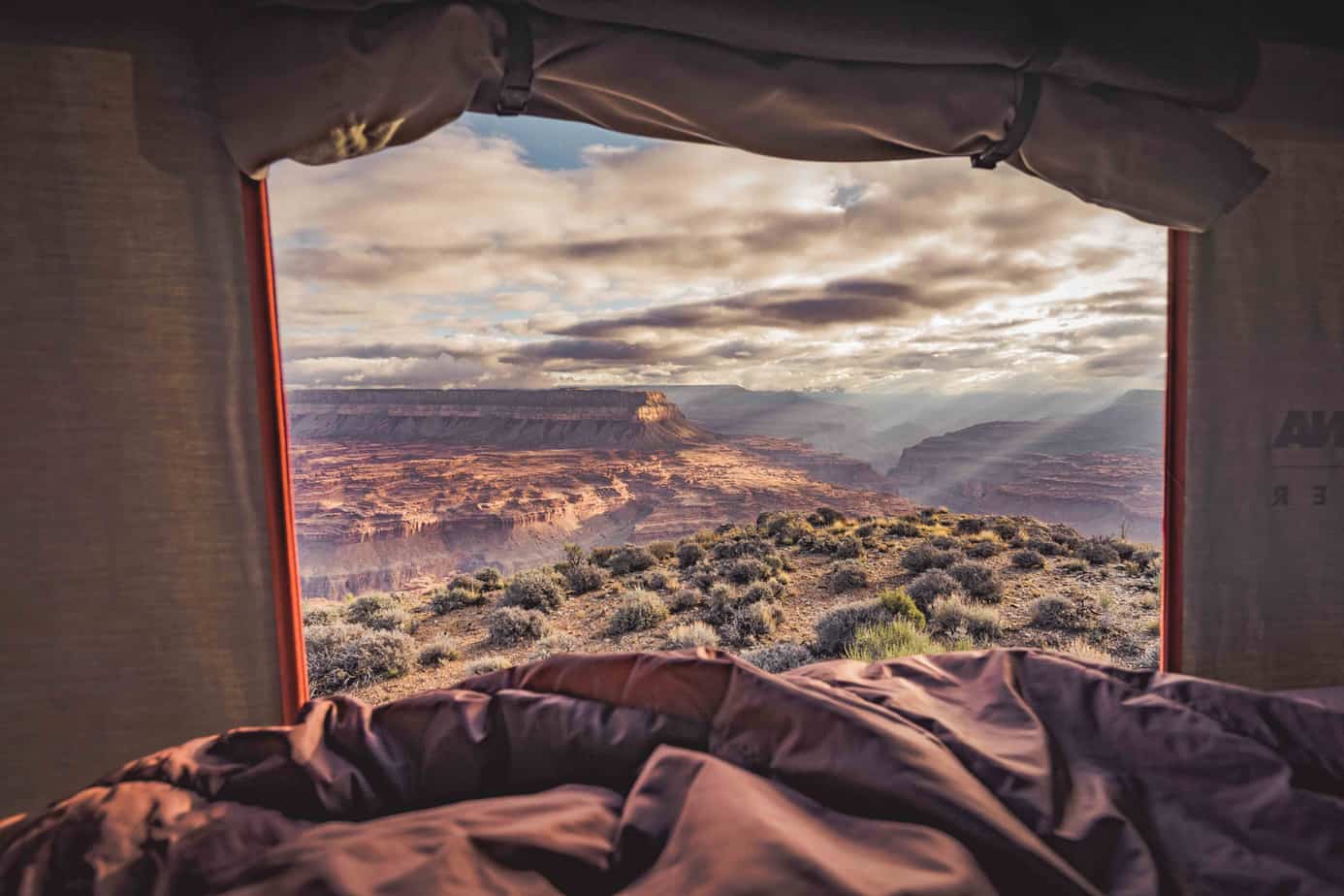
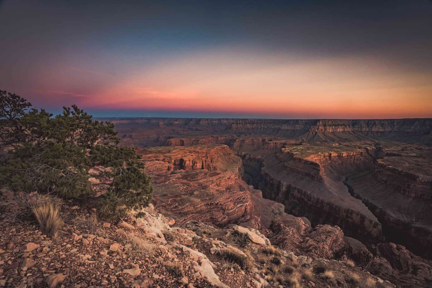
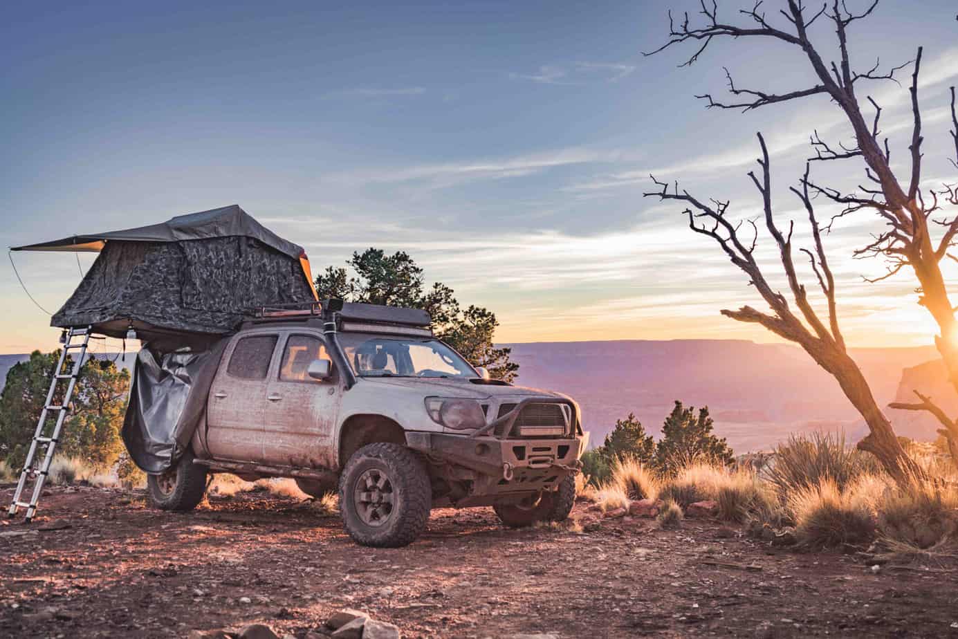
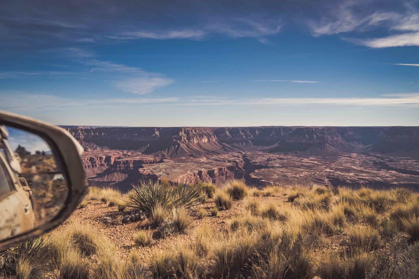
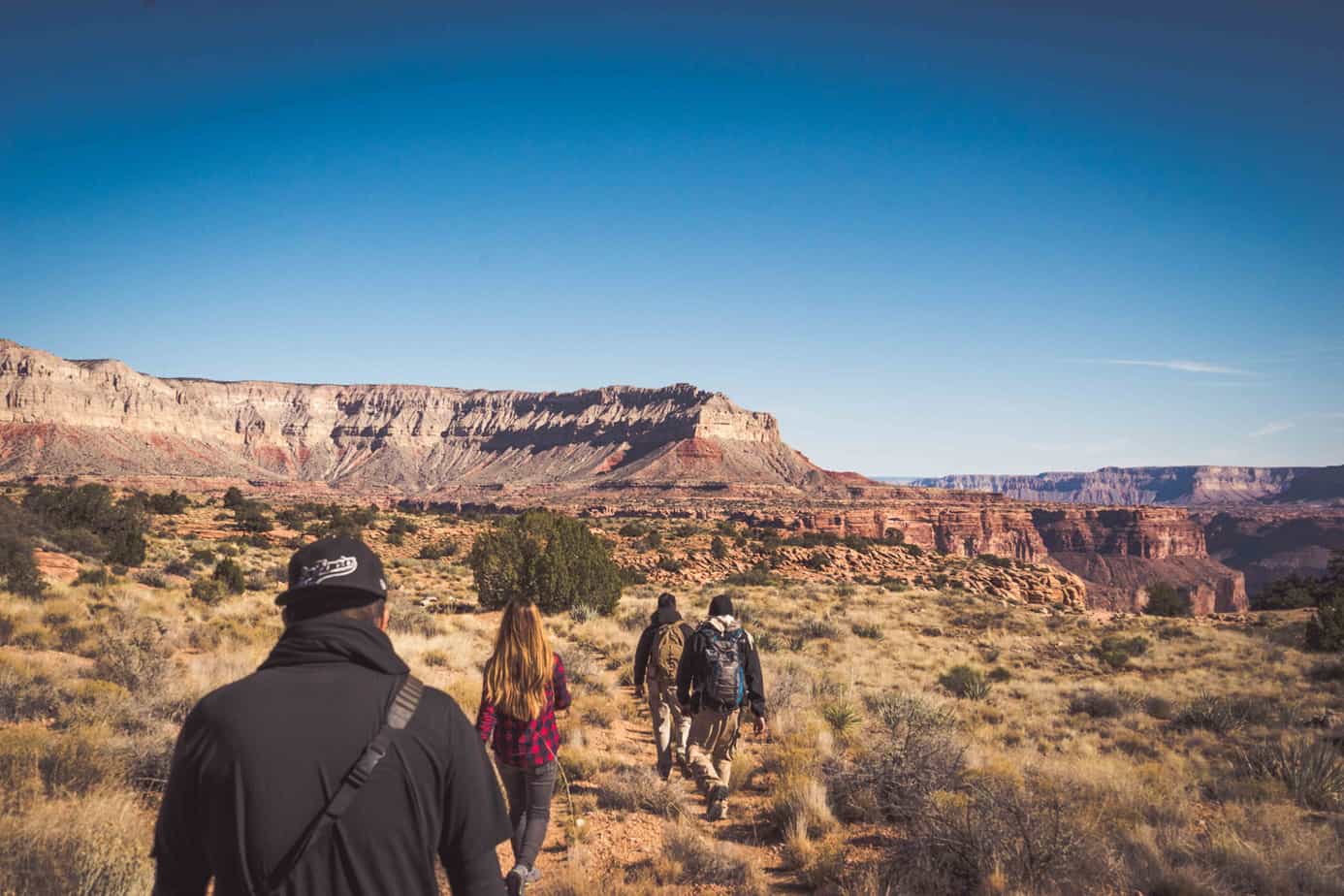
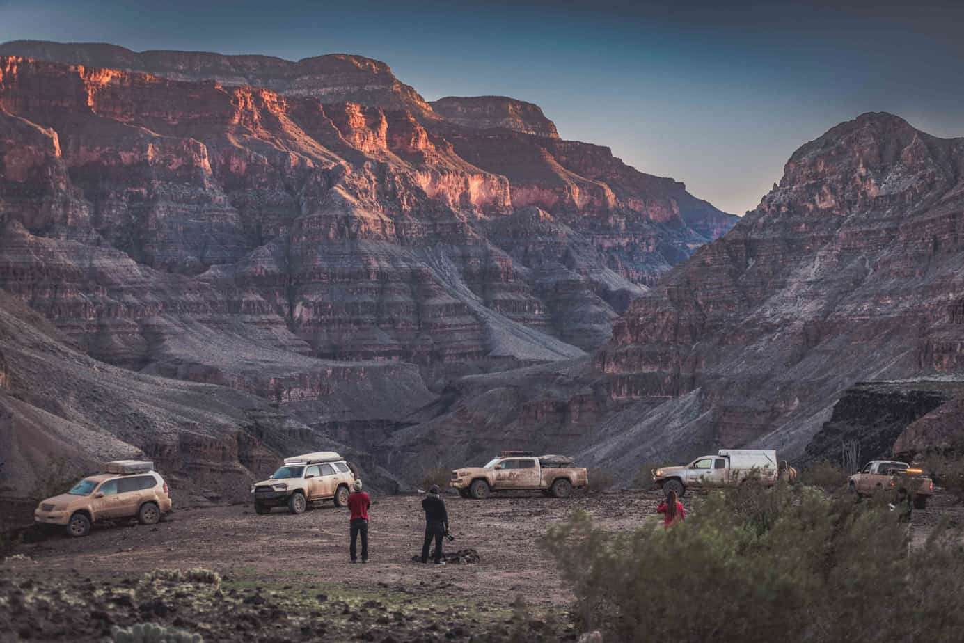
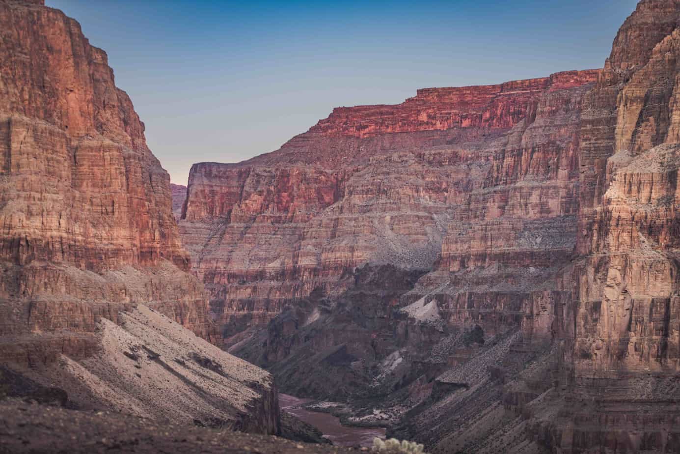
We experienced our first full view of the Grand Canyon at Point Sublime, and we all took a moment to enjoy the spectacular views in front of us.


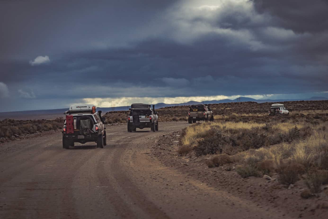
To make camp before sunset, we needed to double back almost 70 trail miles to our next campsite at Jumpup Point, right on the edge of the canyon rim. We pulled in just as the sun dipped below the horizon.
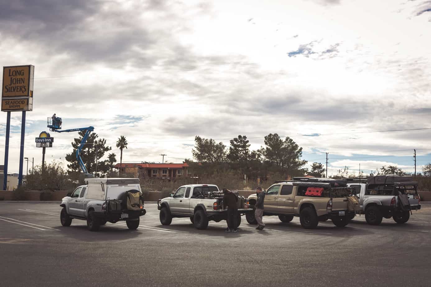
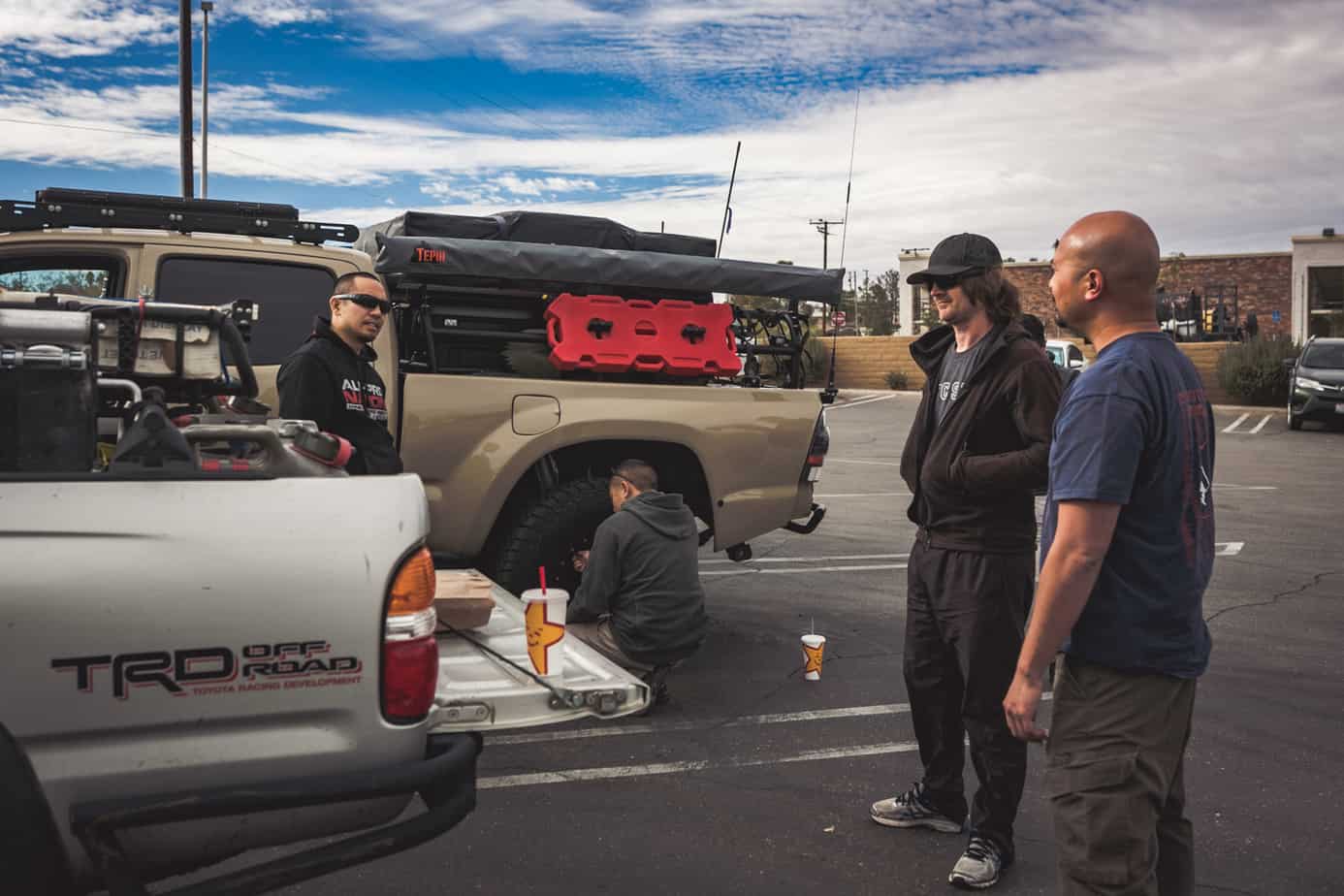
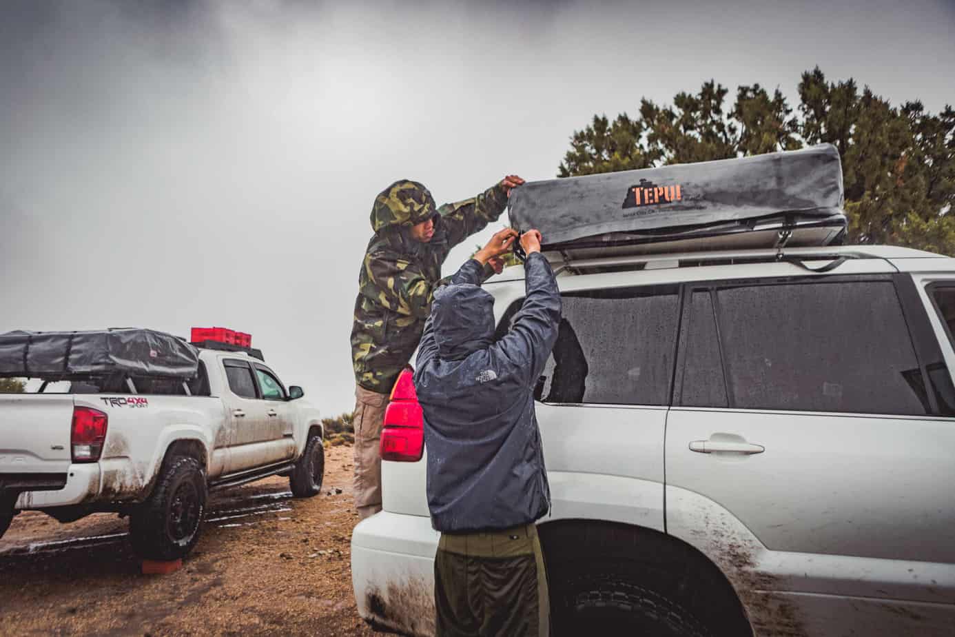
That night was not an easy one. A major storm blew through our campsite almost 12 hours earlier than anticipated, pummeling us with heavy winds, rain, and hail. A small break in the weather that morning allowed us to snap a few photos of the canyon and quickly pack, but the downpour began yet again as we made our way out of camp. Due to the deteriorating conditions we encountered on the slippery clay trail, we chose to ride out the remainder of the storm in town, refuel, and grab a hot breakfast. We would later find that the same storm system would dump 12 inches of snow on the section of trail we had cleared the previous day, effectively closing it for the season.
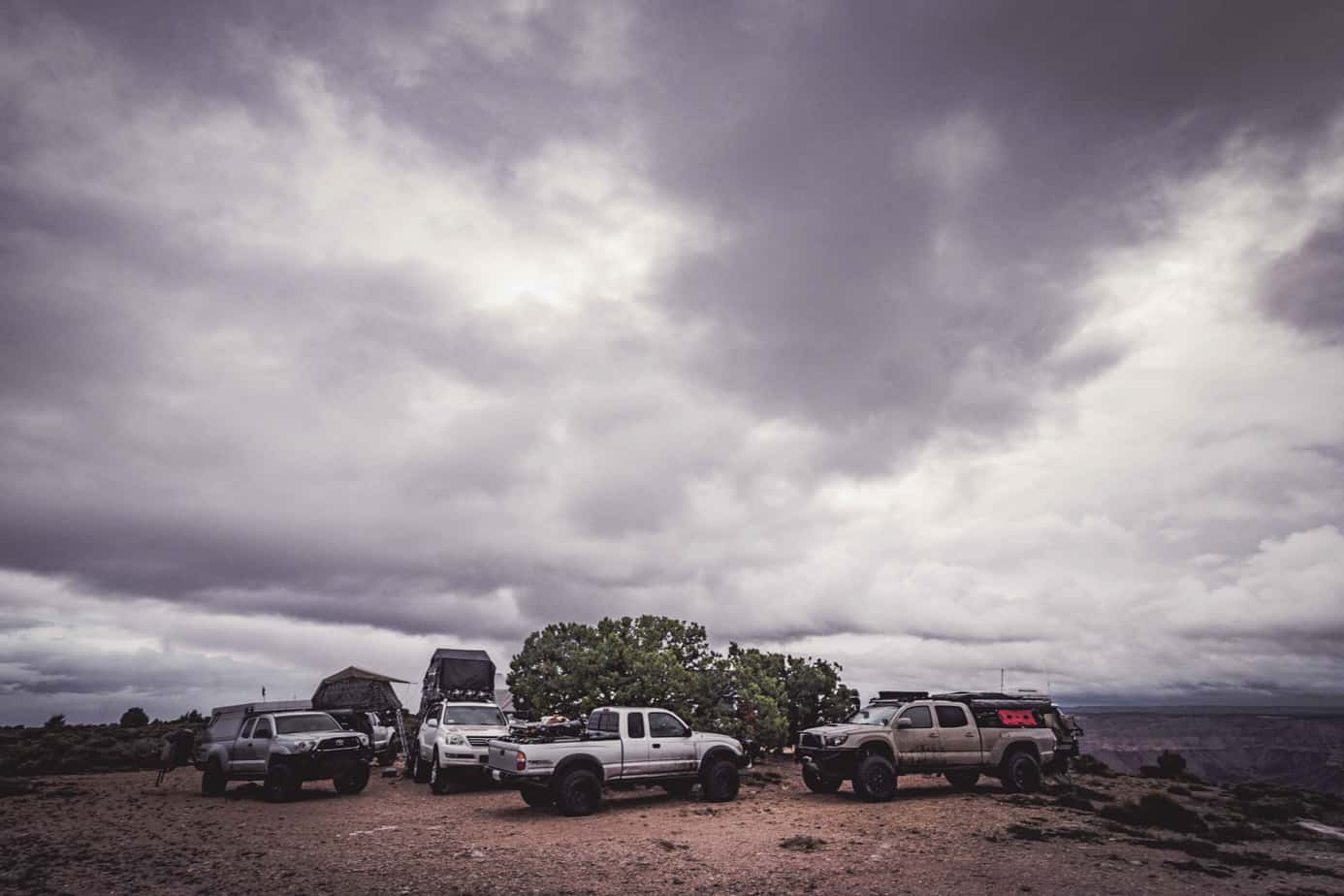
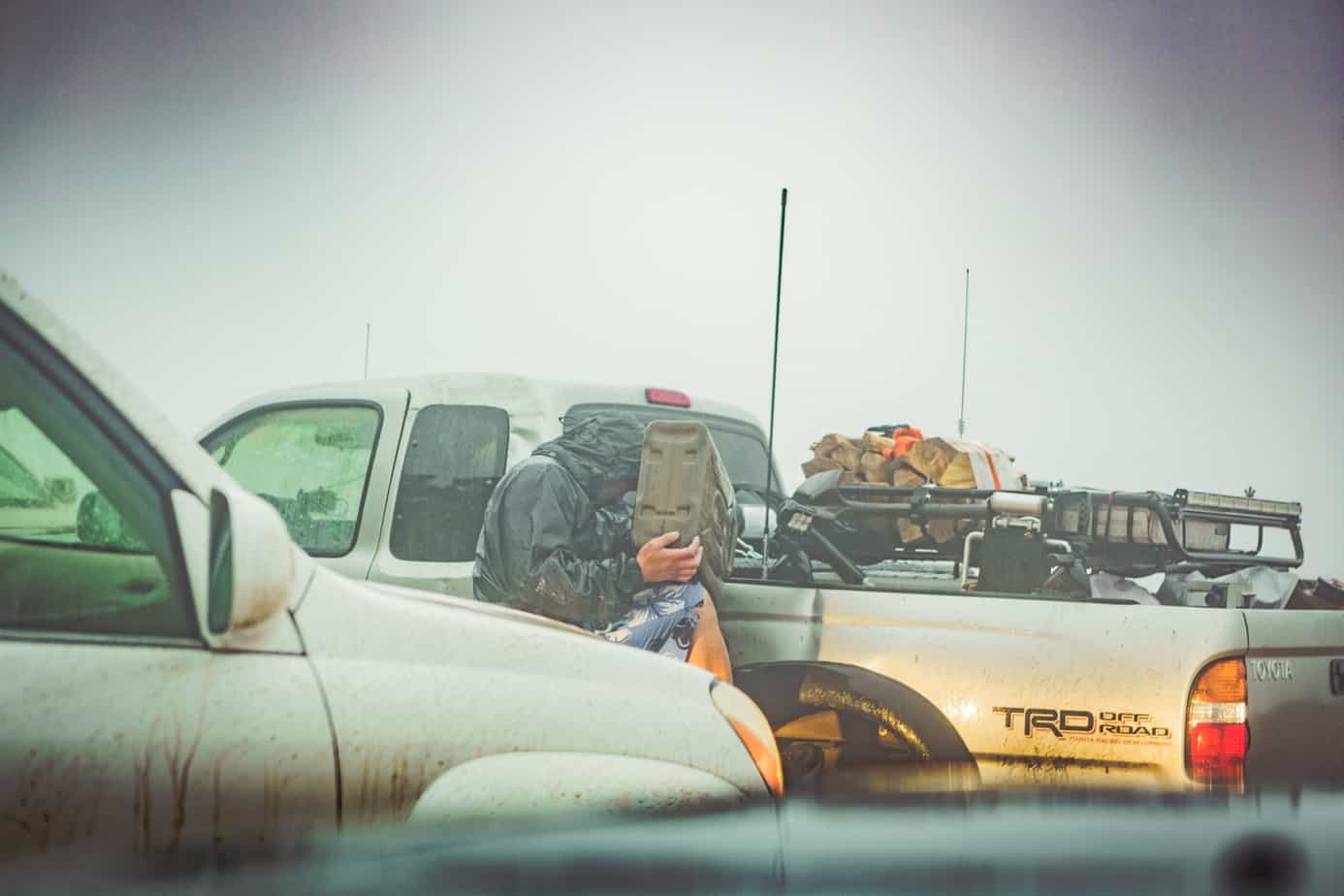
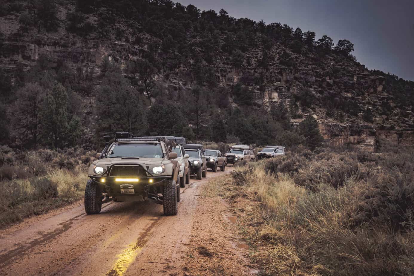
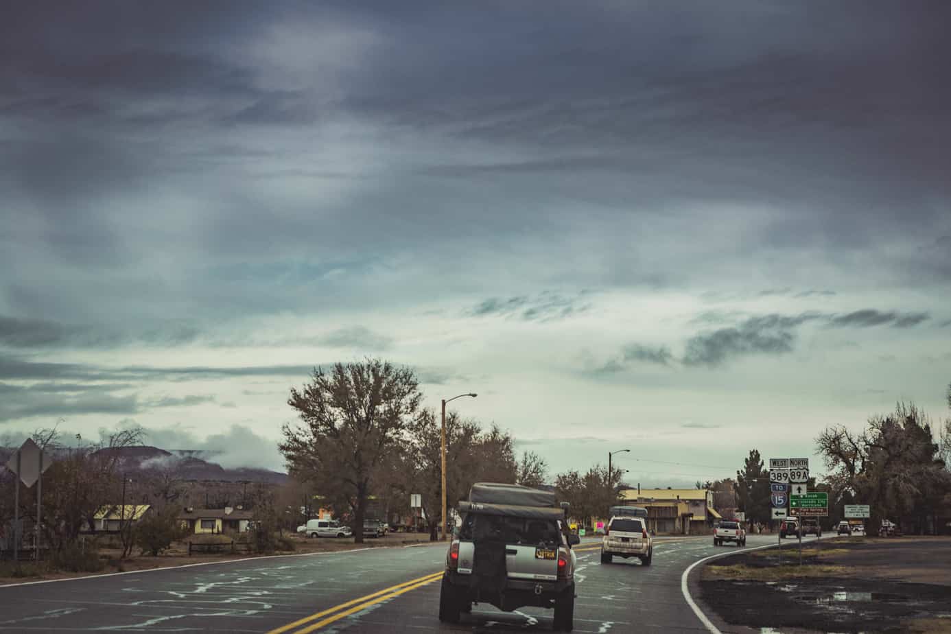
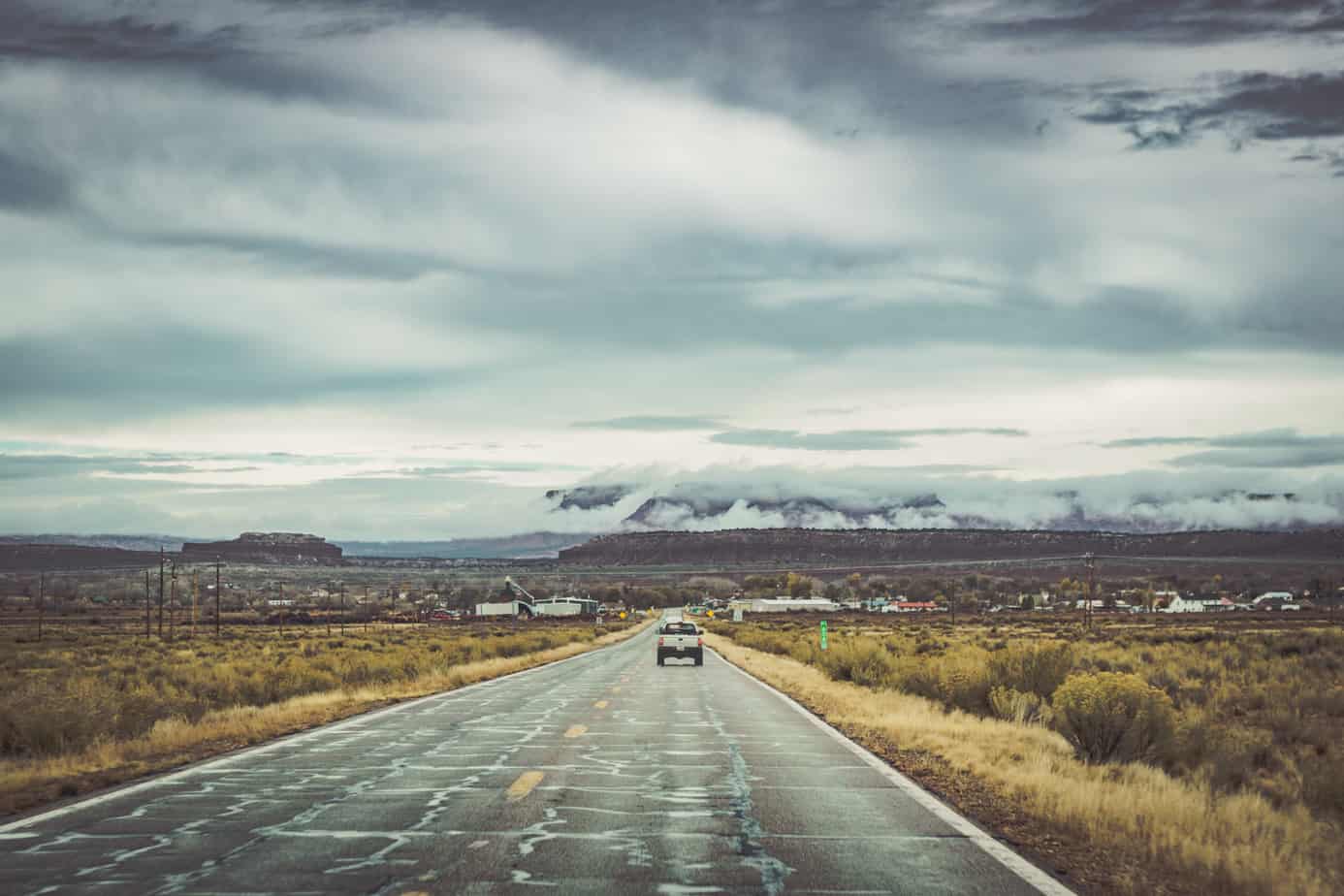
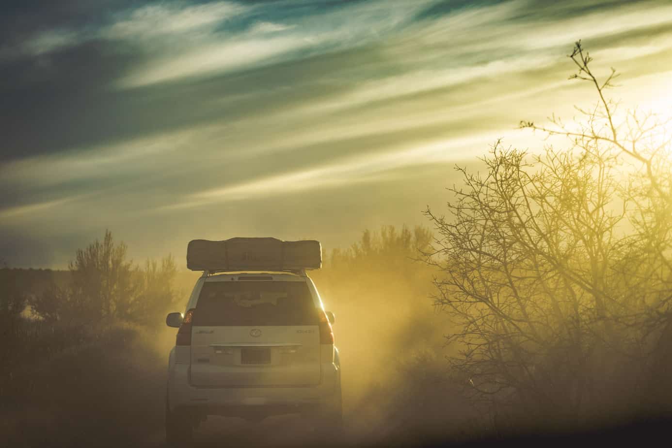
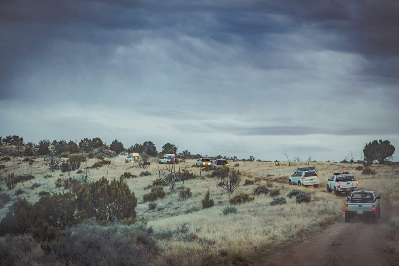
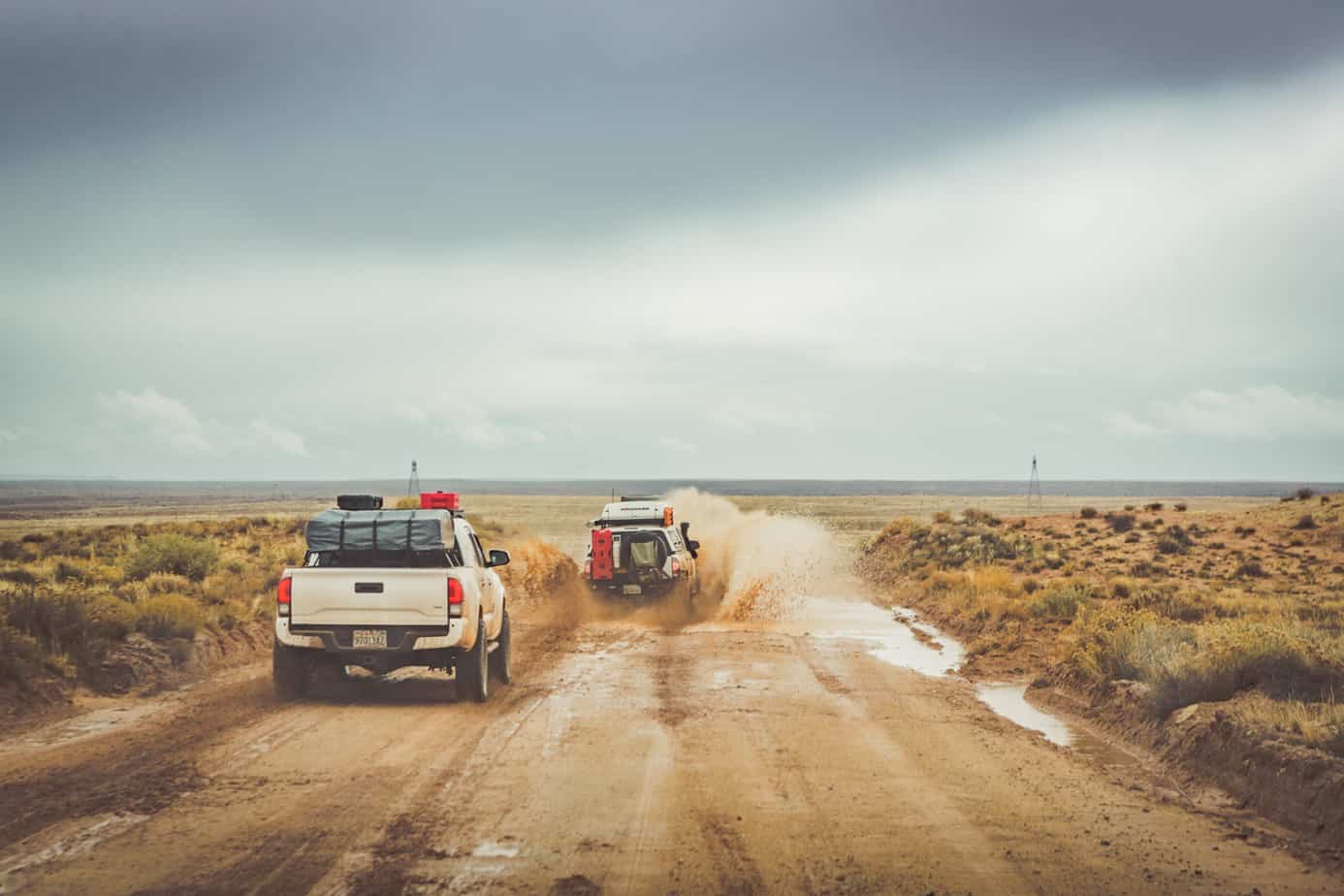
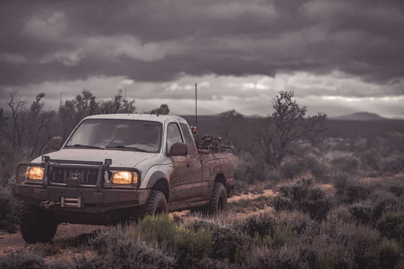
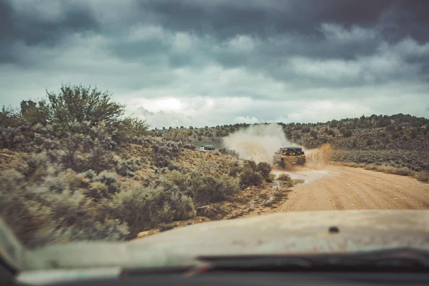
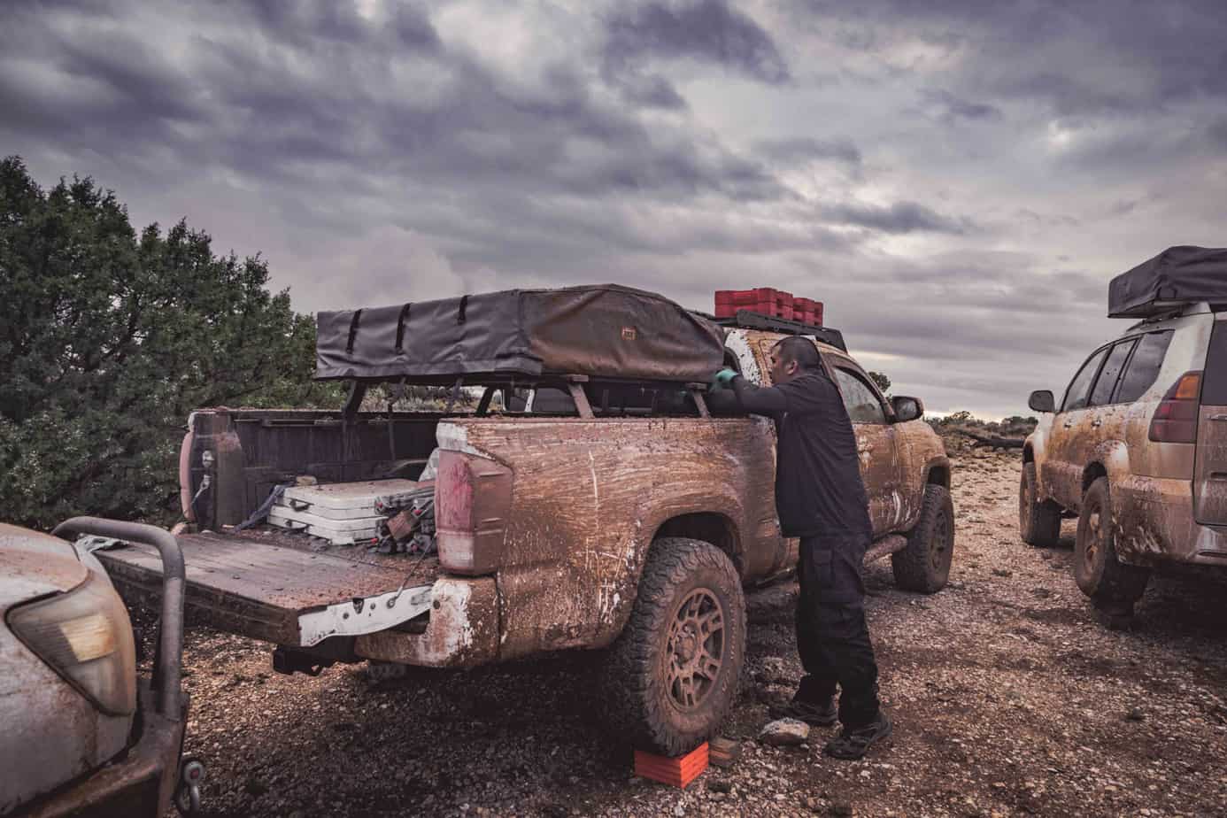
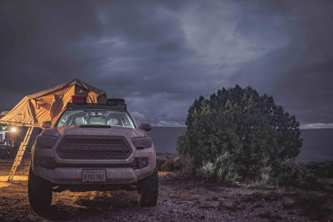
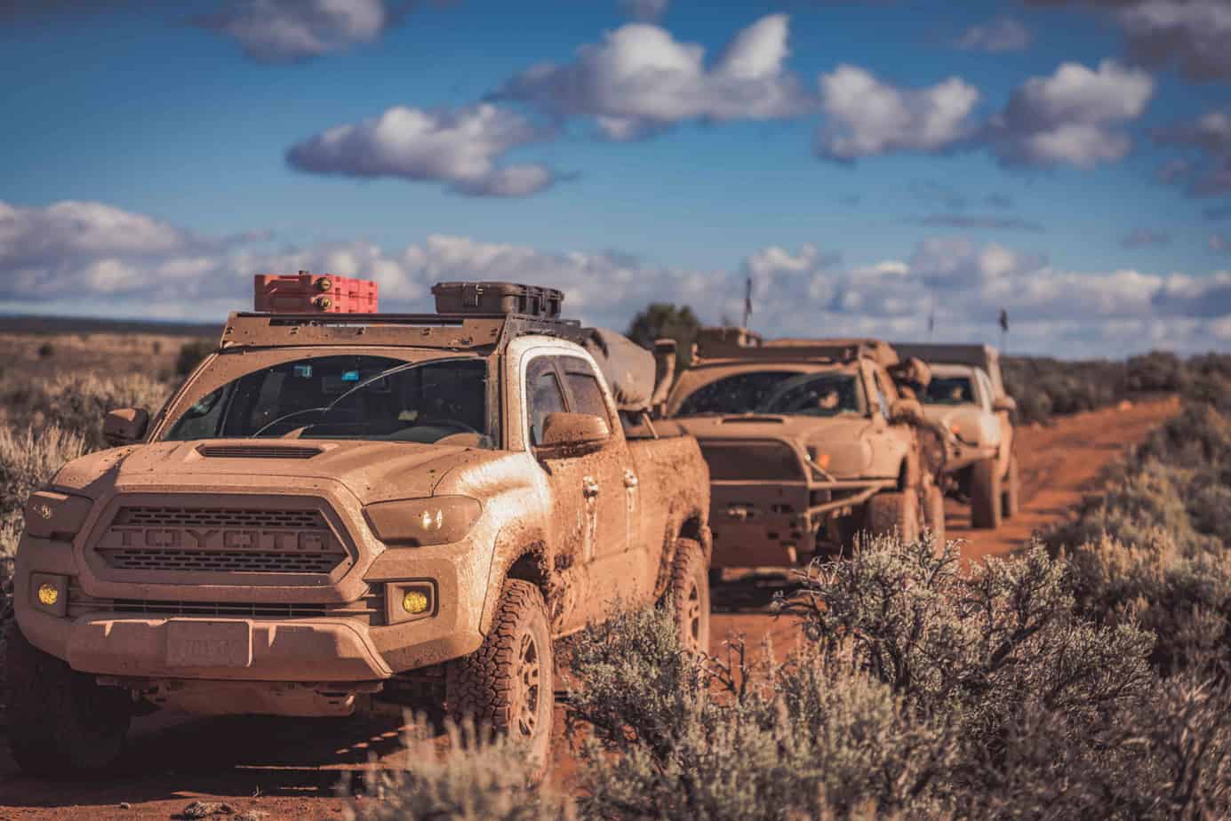
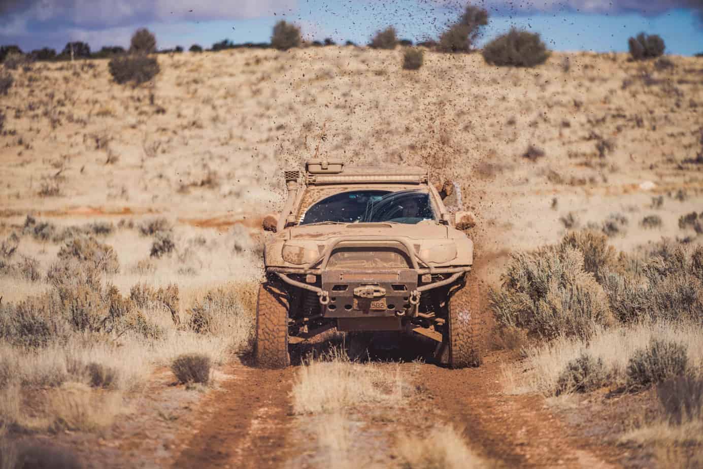
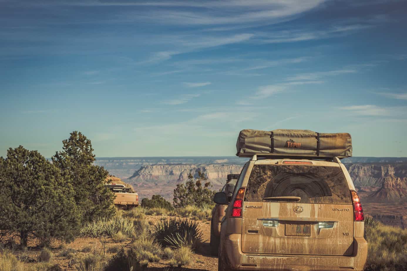
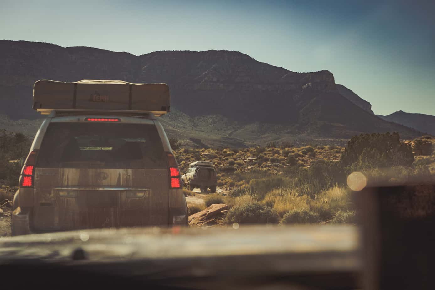
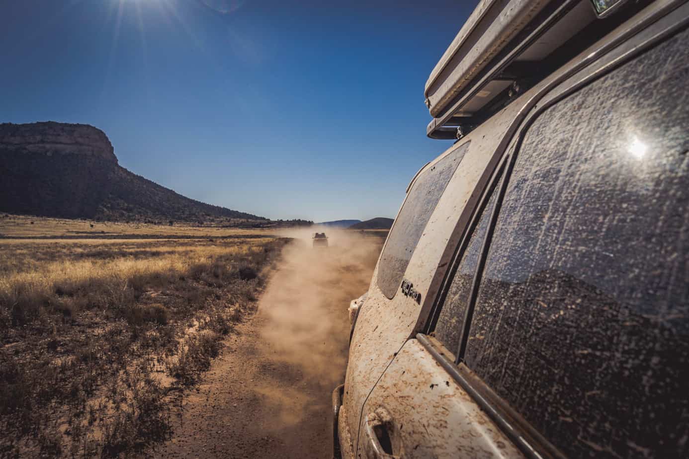
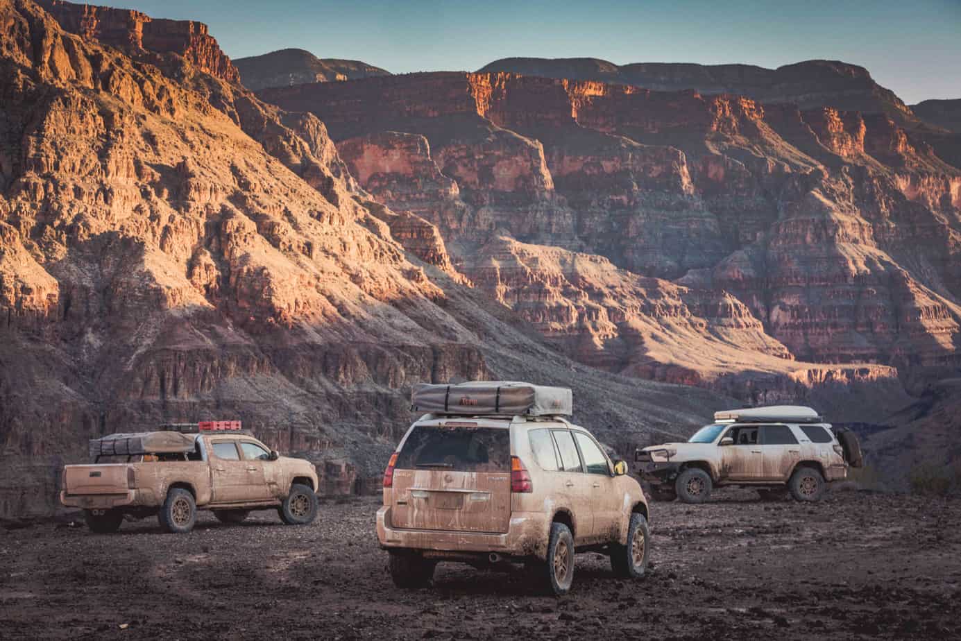
We left town with our stomachs now full and gas tanks topped off, and proceeded to our next campsite, hoping again to make it before sundown. The fresh rains had left huge puddles on the trail, which we had a little too much fun driving through. We all rolled into Kanab Point sporting our new brown paint jobs, and settled in for another night on the rim.

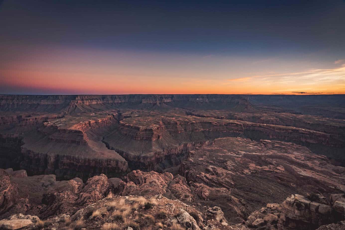
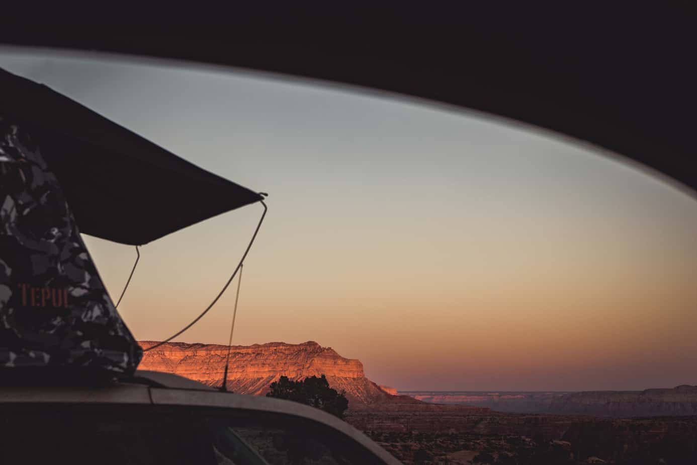
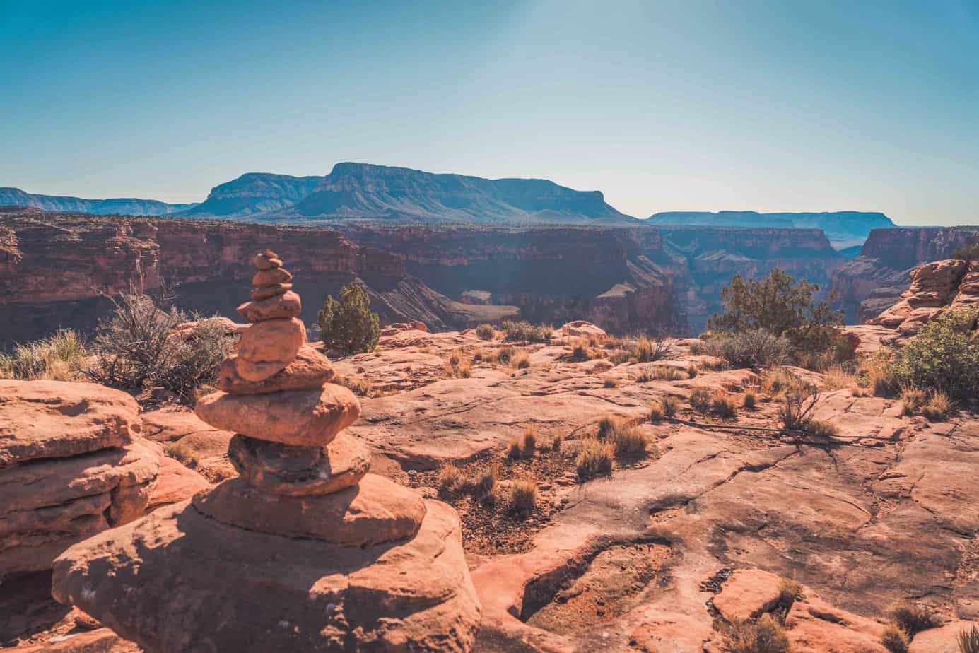
The following morning, the storm clouds slowly parted to reveal the canyon in front of us. With the sun finally drying our tents and gear, and with so many miles traveled the past 3 days, we struggled to leave to our next campsite.
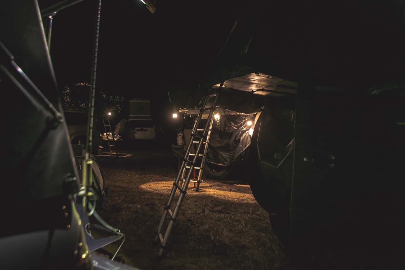
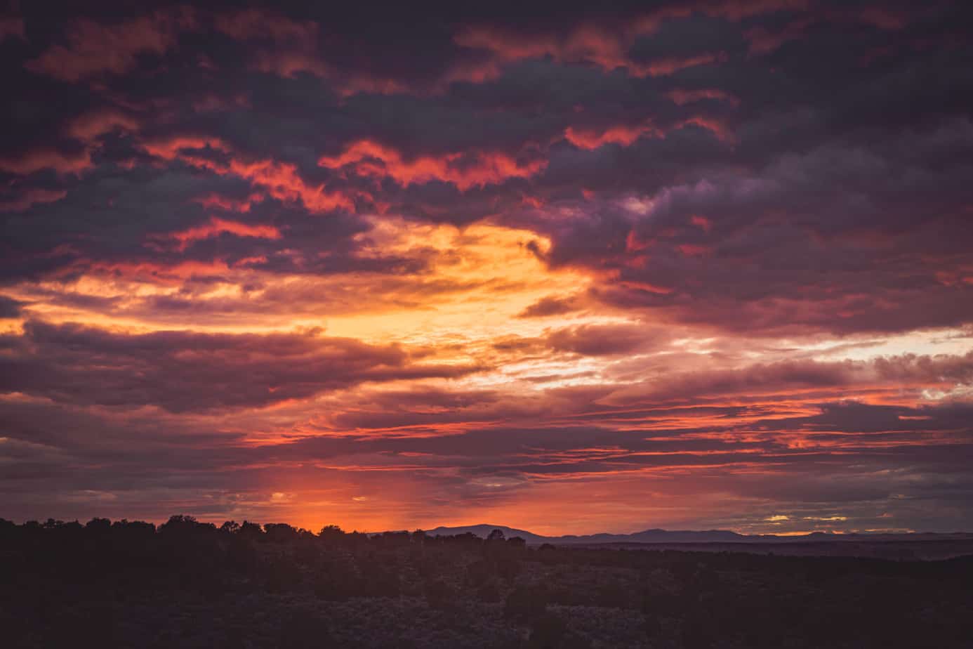
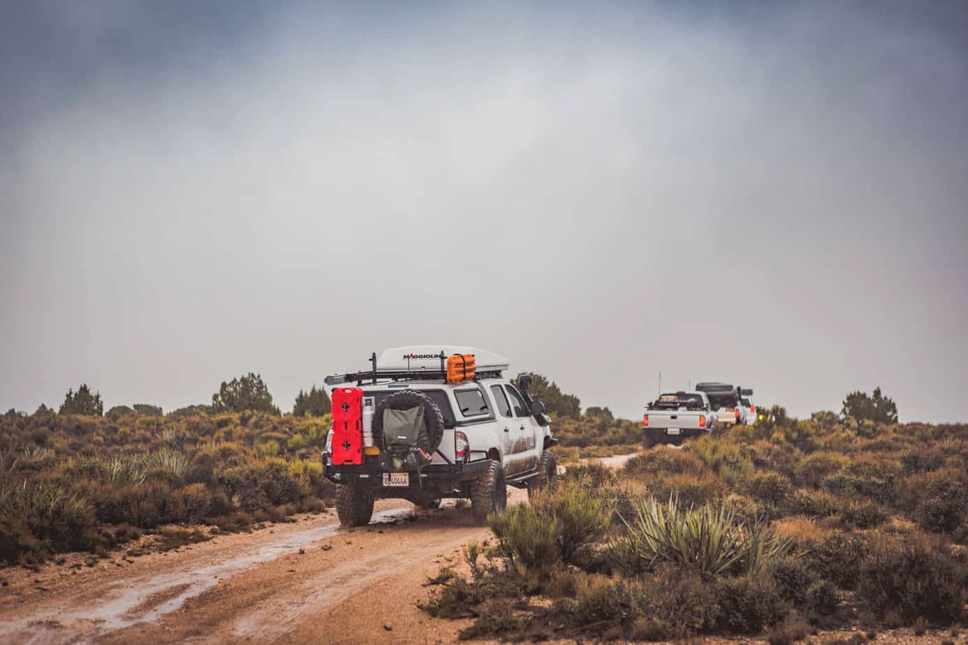
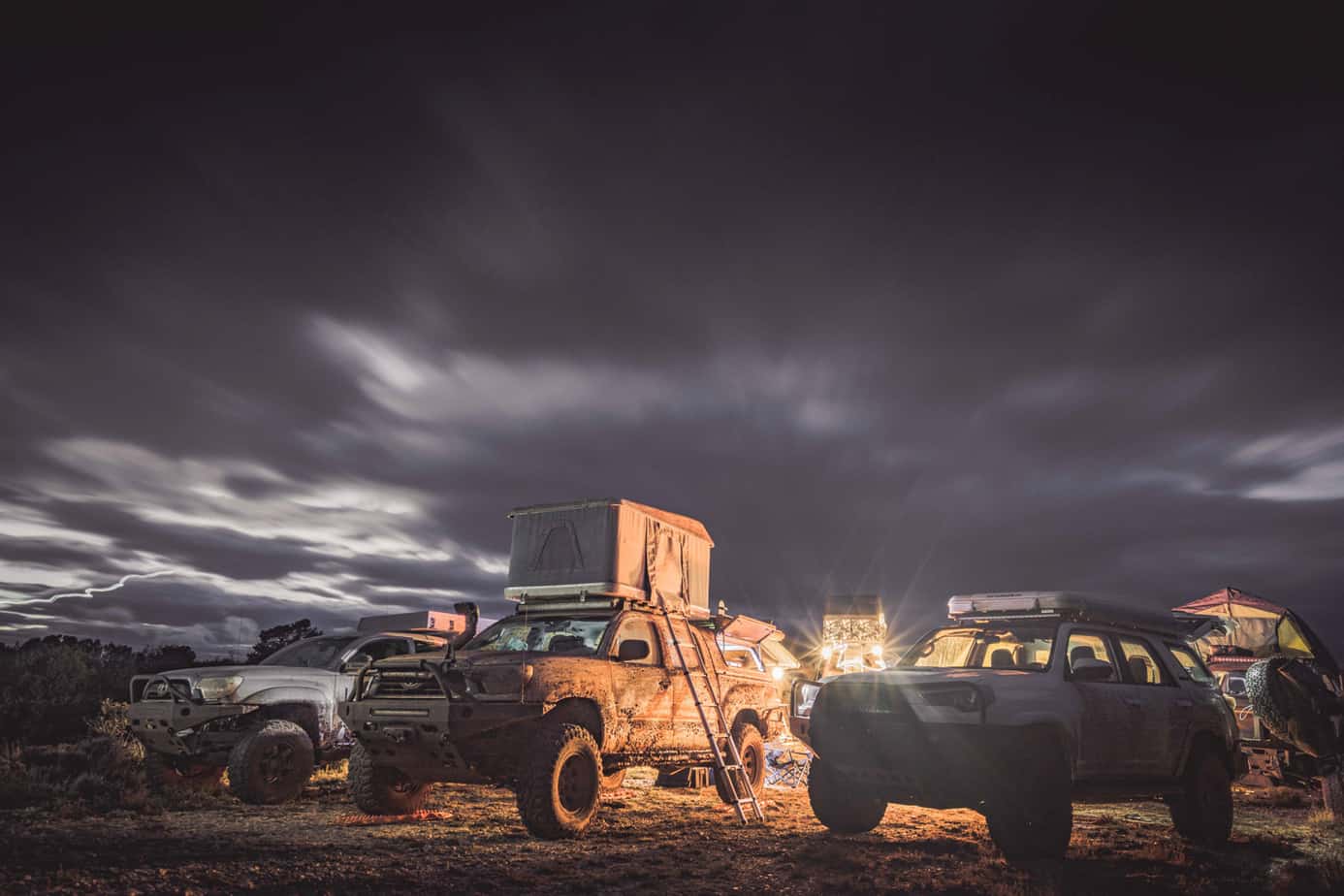
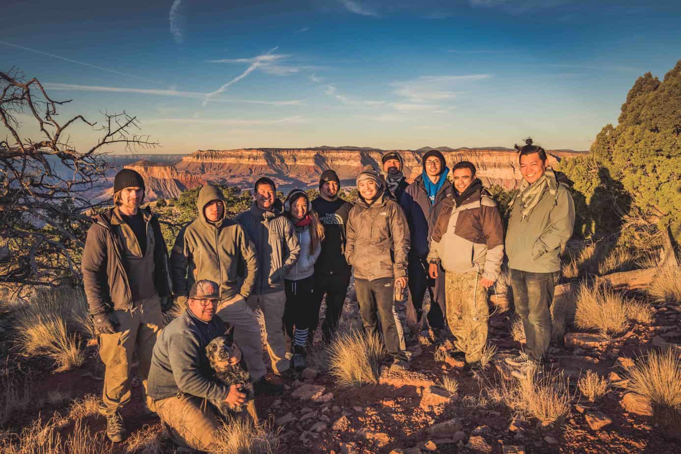
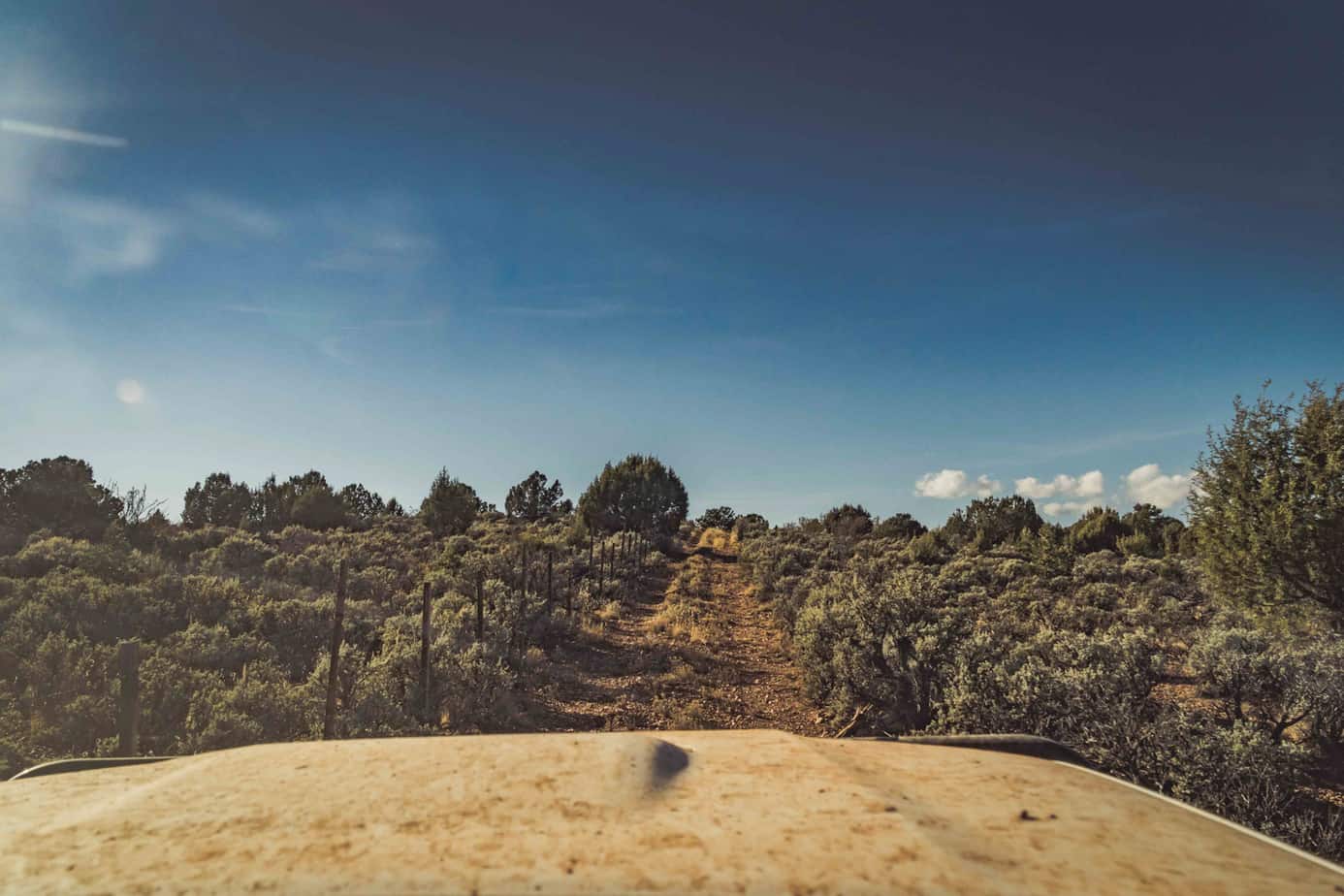
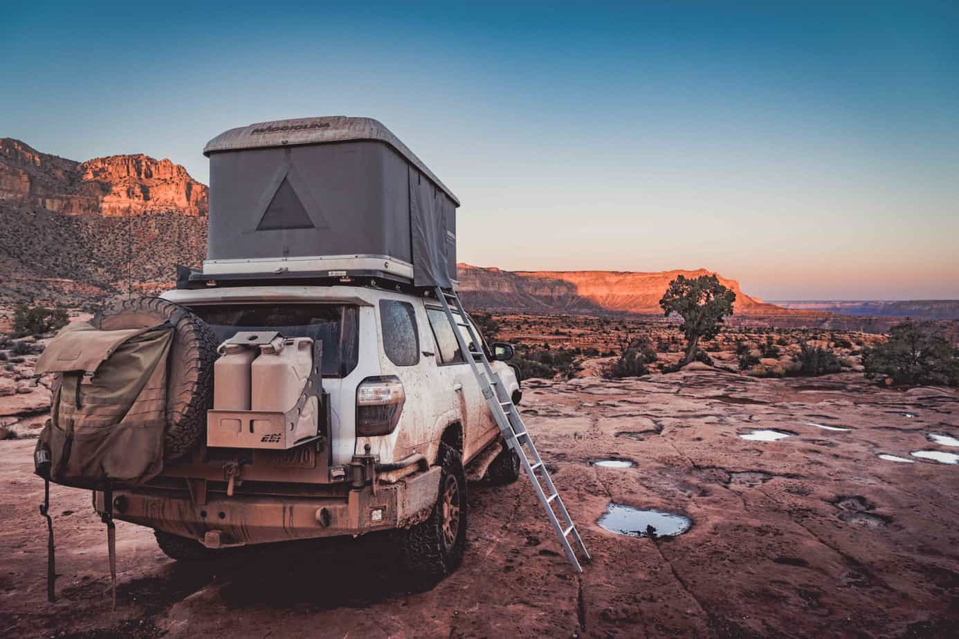
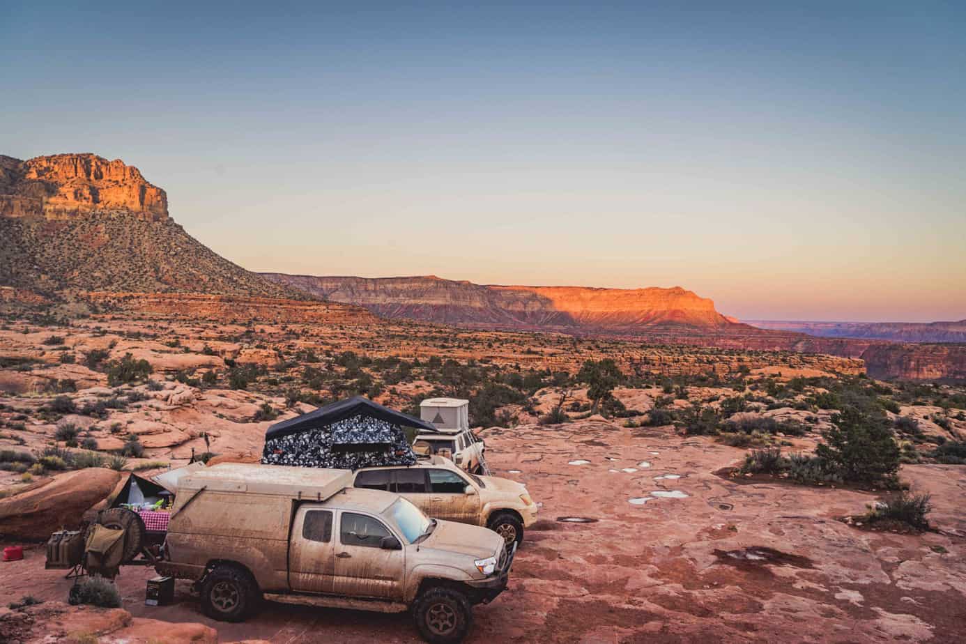
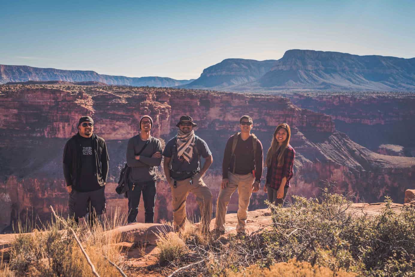
We slowly made our way to our next campsite at SB Point. The trail was tight and overgrown in some areas which slowed our pace considerably. But for the first time on the trip, we would be able to set up camp before sunset. We quietly sat in awe as the dwindling sunlight cast a spectacular array of colors throughout the canyon. For half of our group, it would be a fitting end to their journey as they made their way back home.

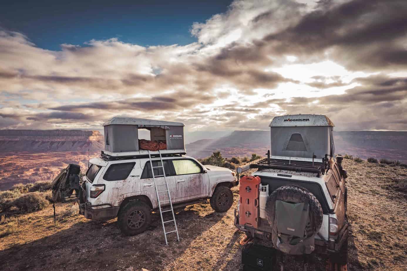
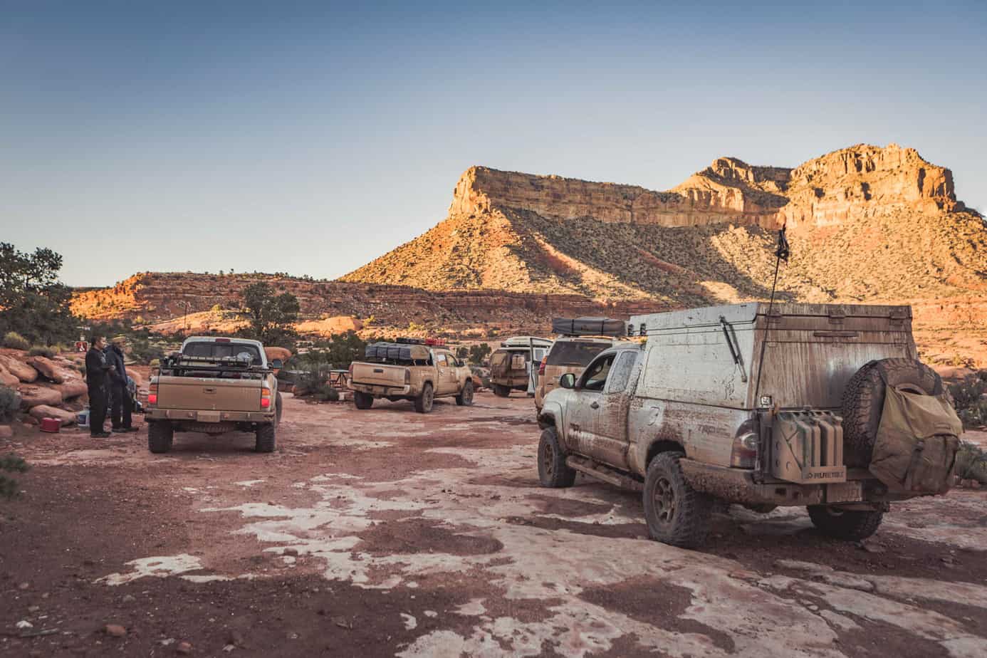
The following morning, we bid farewell to the departing members of our trip as they left in time for Thanksgiving back home. We had also picked up a new member overnight to join our trip, who wasn’t able to join us earlier in the week. With that, we departed for our next campsite at Toroweap Overlook, the only established campsite on our trip.
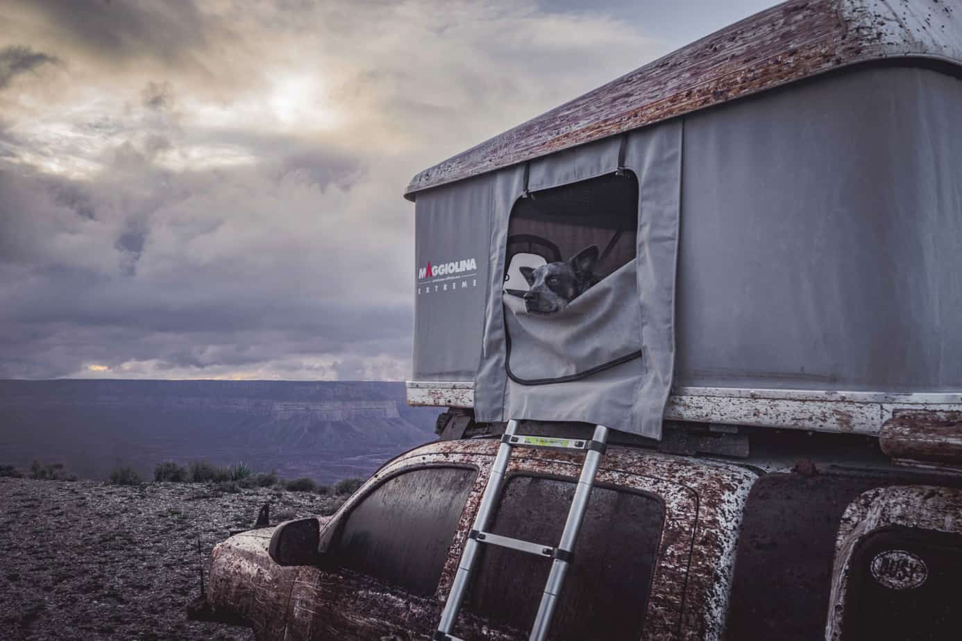
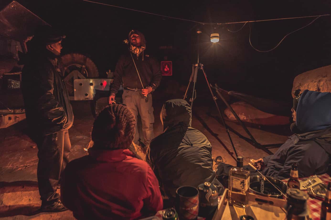
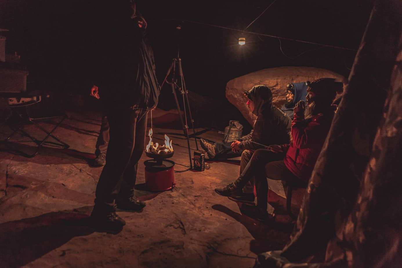
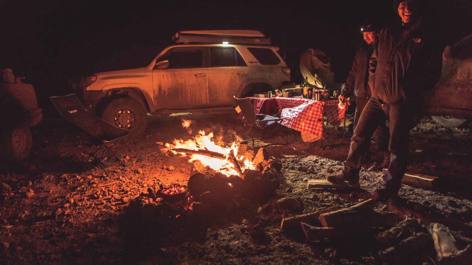
We were starting to feel the effects of non-stop traveling over the past 6 days, and spent the next full day camped at the overlook. We took a short hike up Tuckup Trail, and spent a cold Thanksgiving huddled around a portable campfire making s’mores.
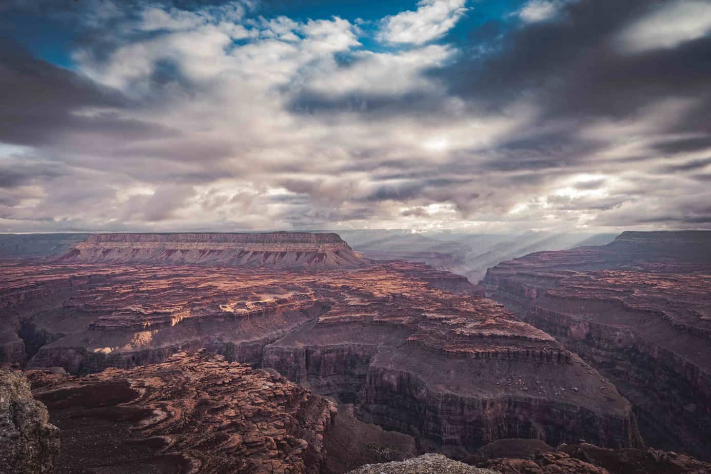
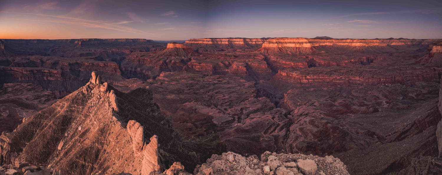
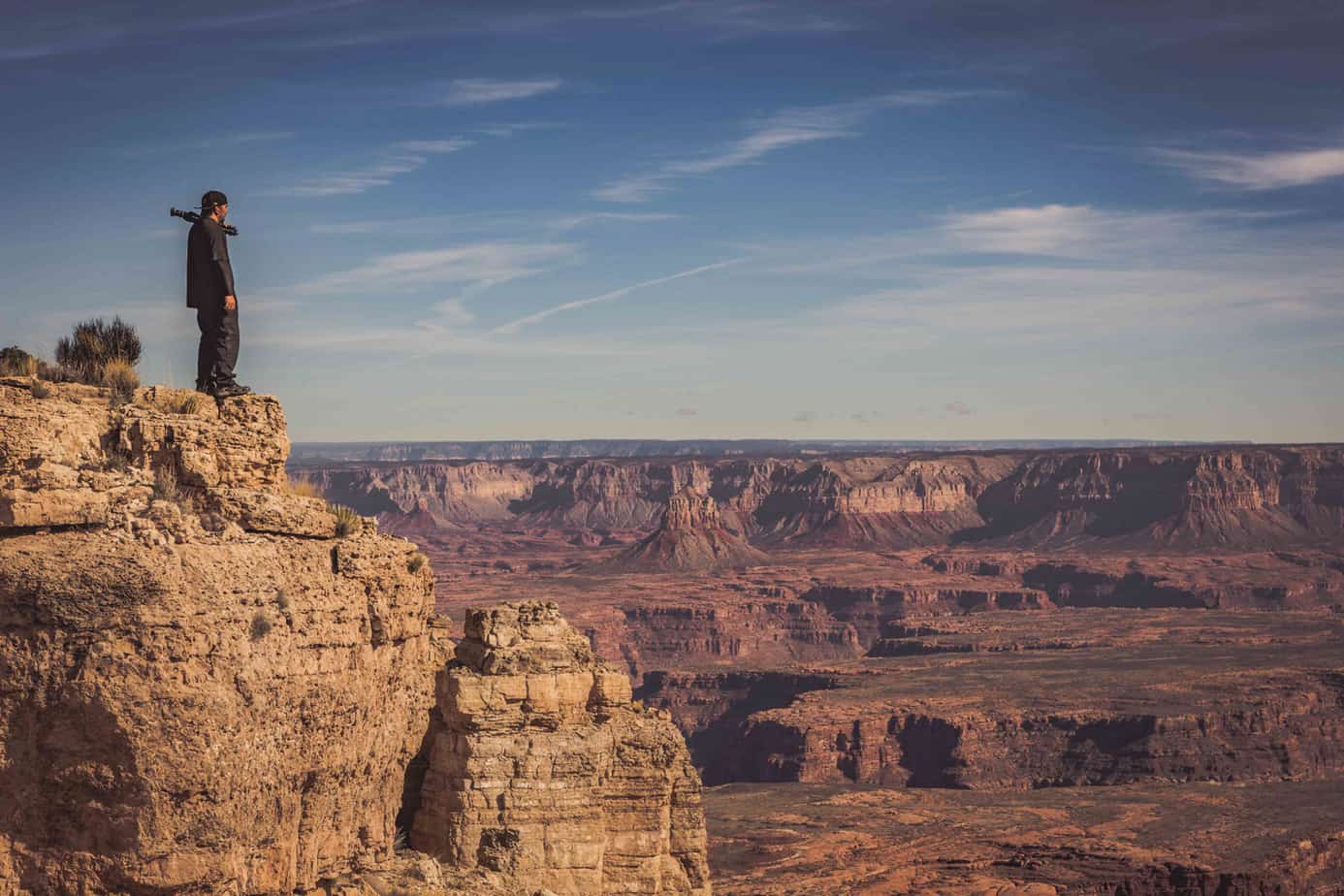
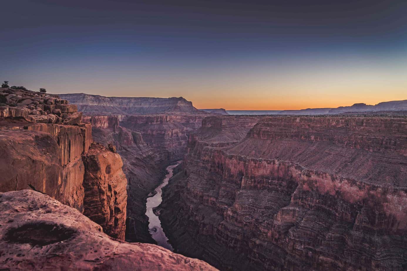
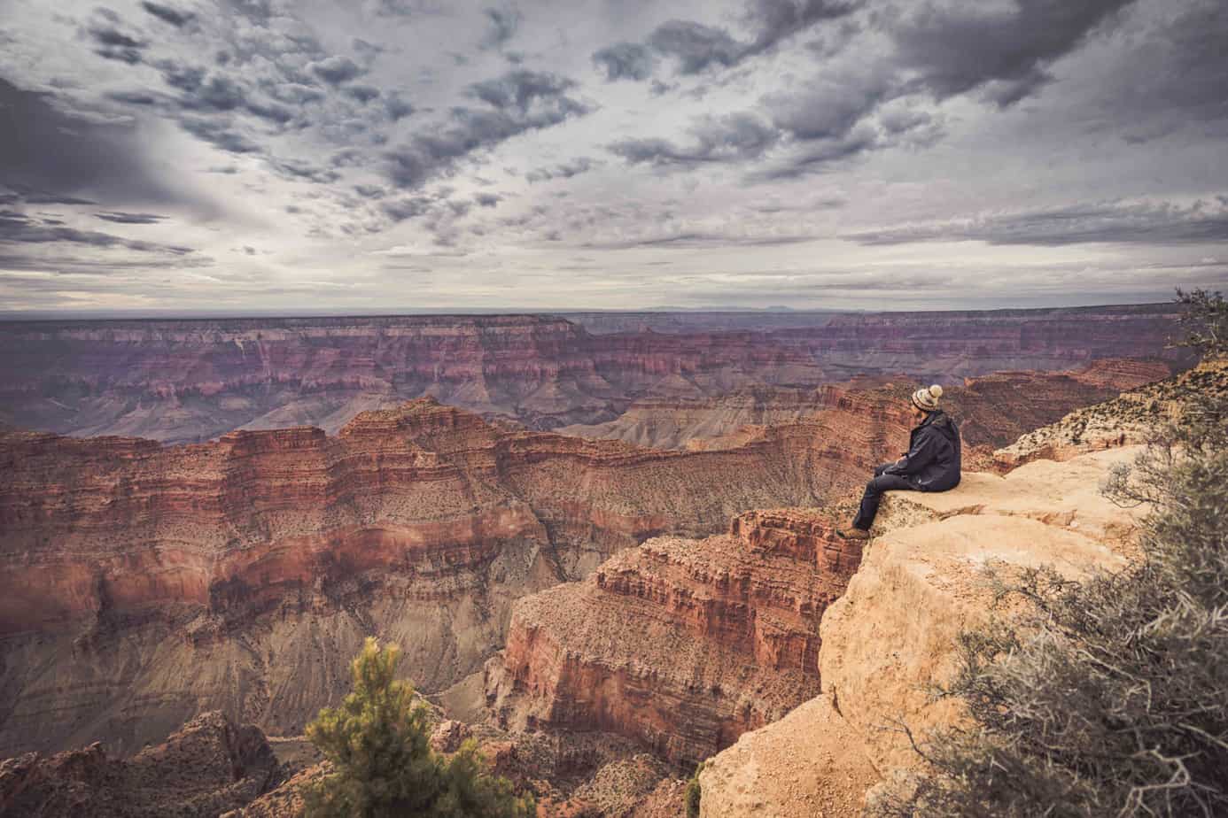
We woke up the next morning, refreshed and ready to hit our next and final campsite. But first, a visit to Toroweap Overlook at dawn.
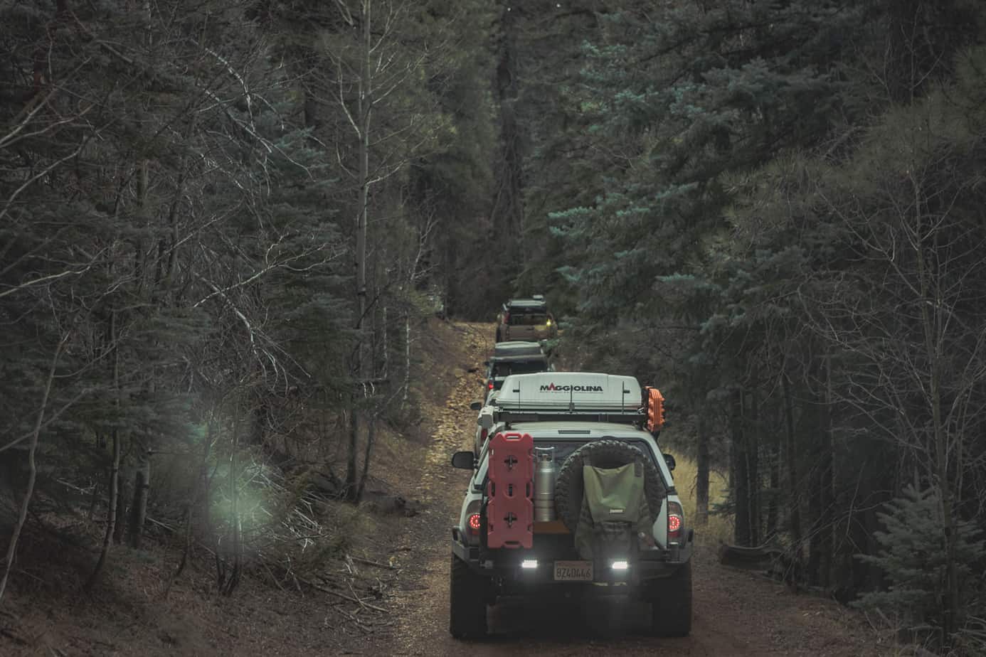
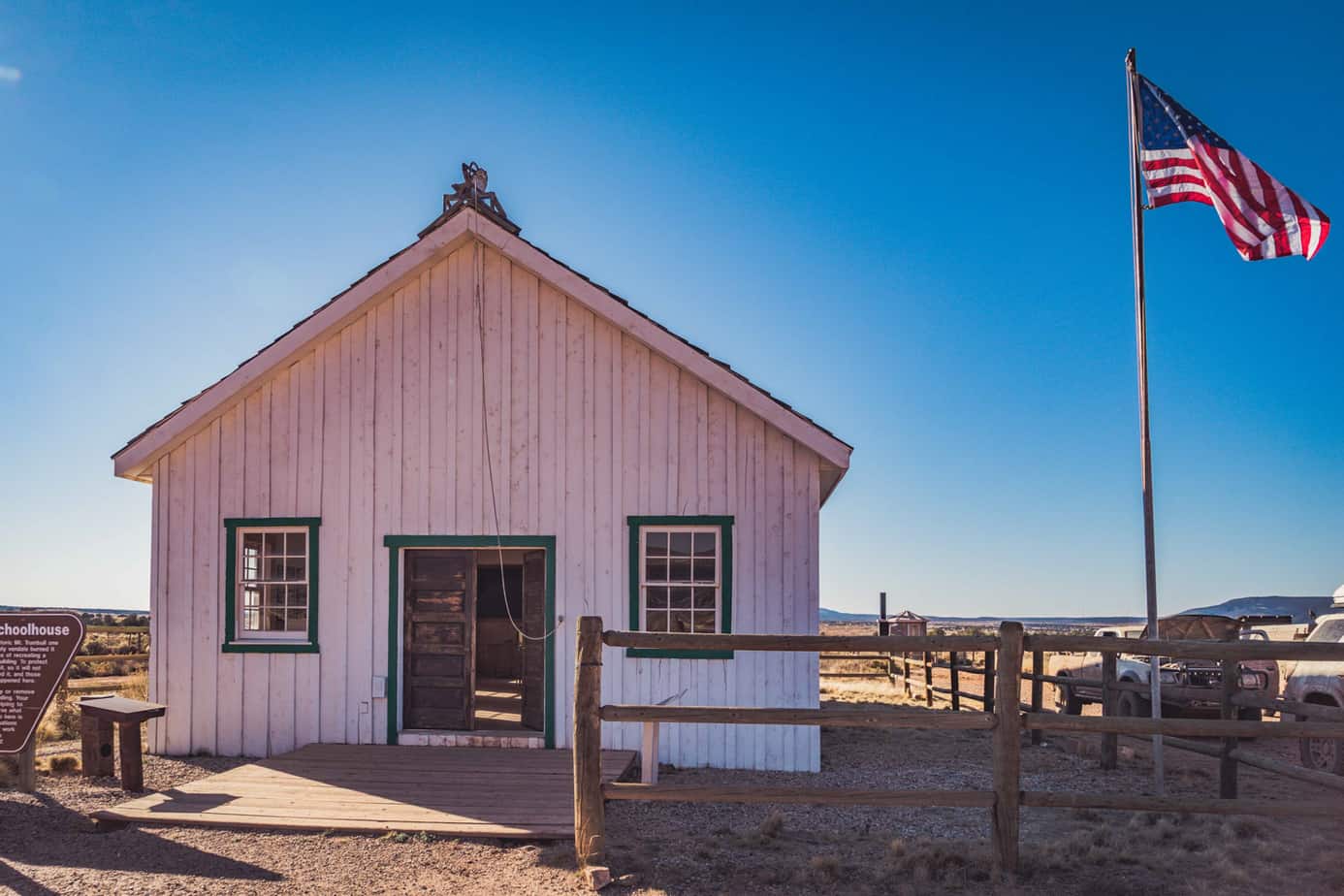
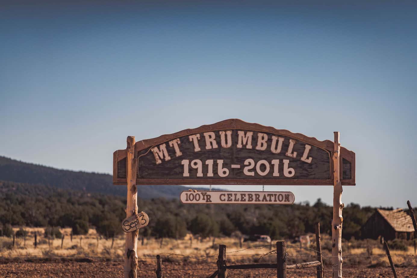
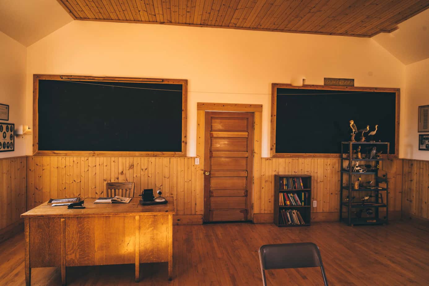
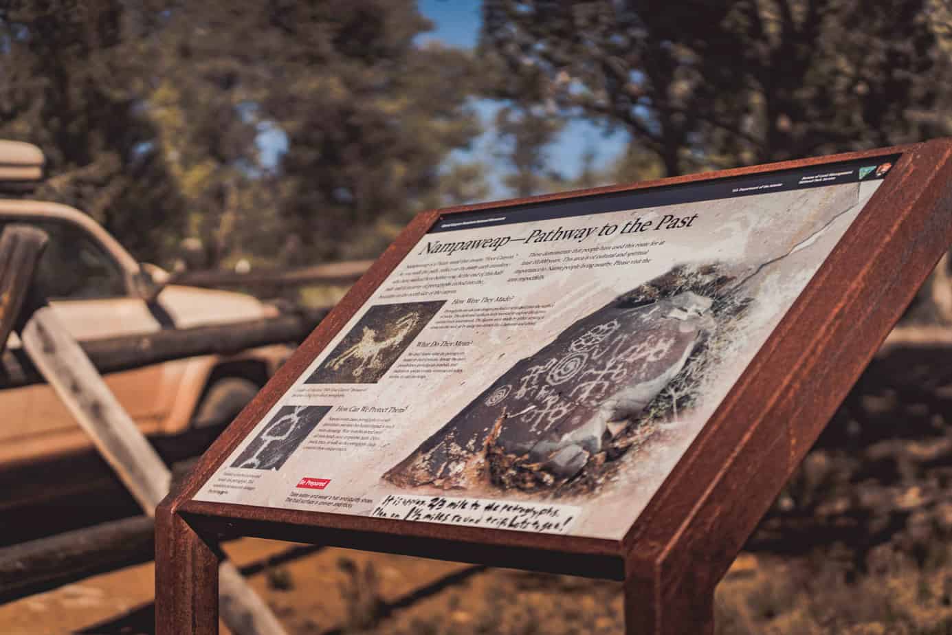
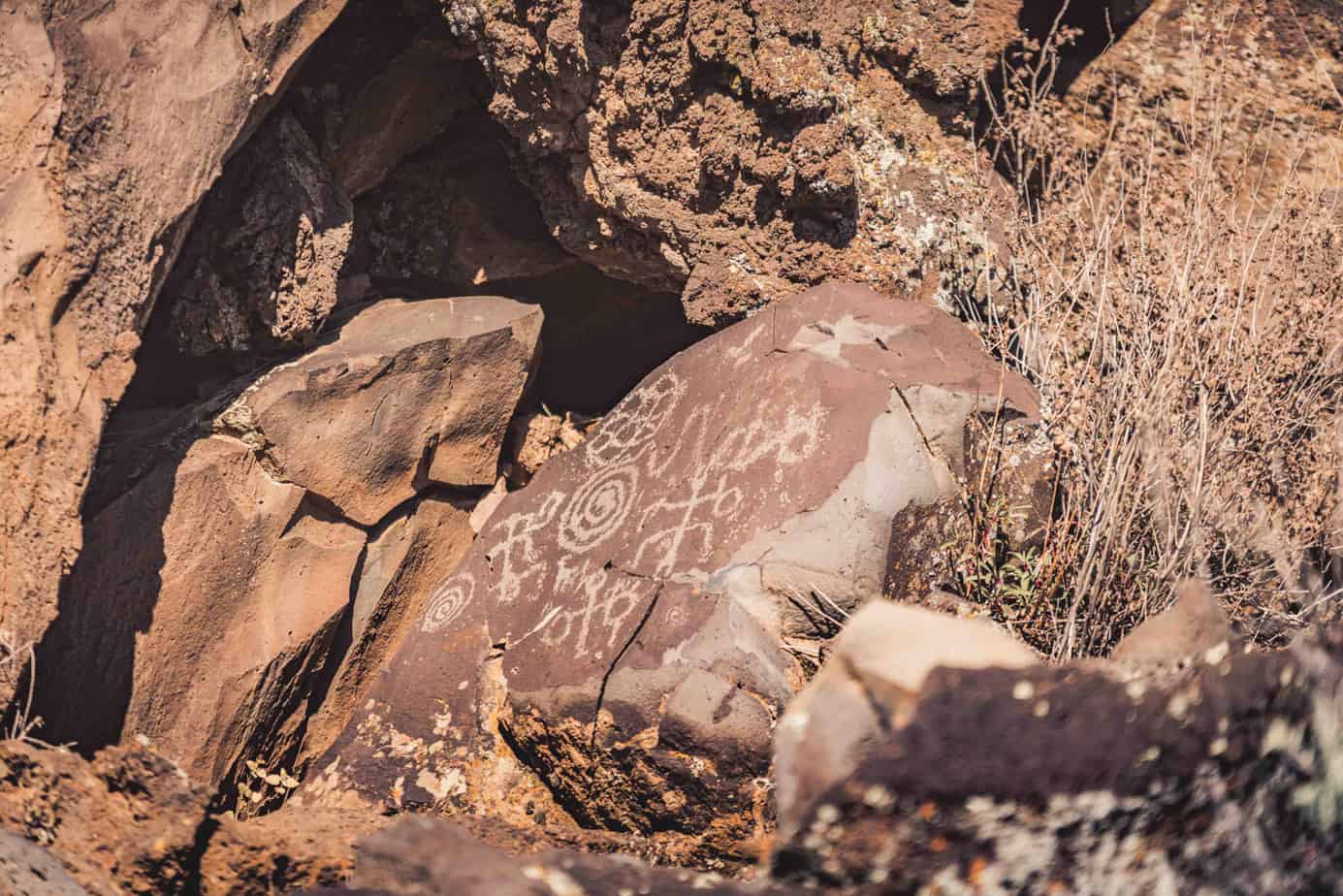
We grabbed a quick breakfast, and headed off on Mt. Trumbull Road, taking a side trip to visit the historic schoolhouse and Nampaweap Petroglyph Site. A downed tree blocked access to the main trail at Nampaweap, requiring us to clear the route with a winch.
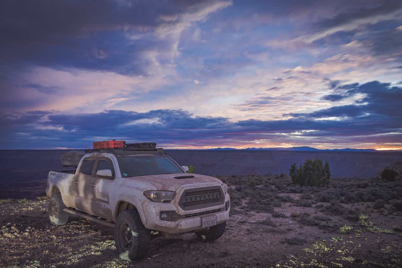
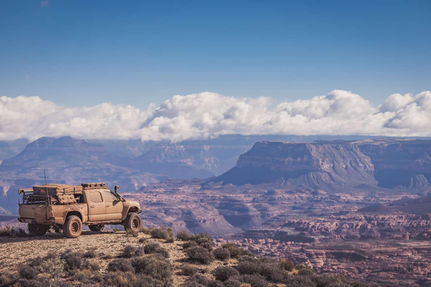
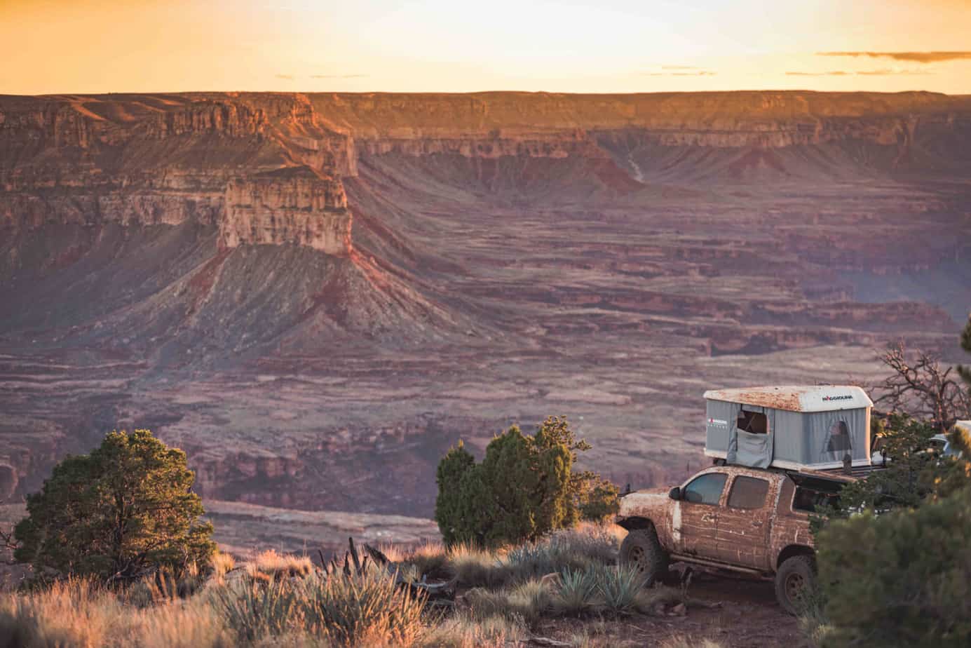
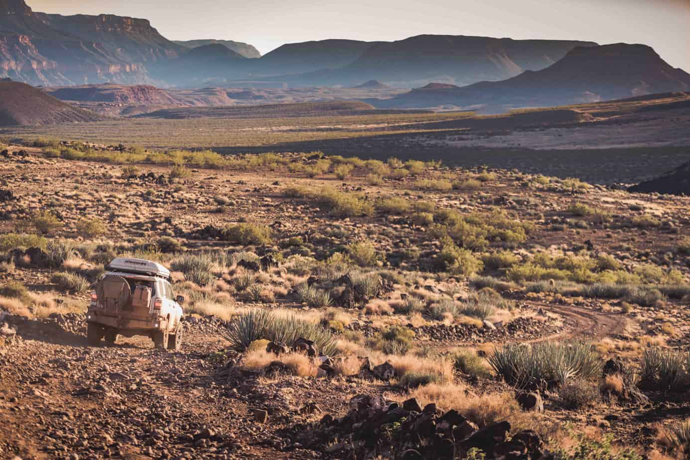
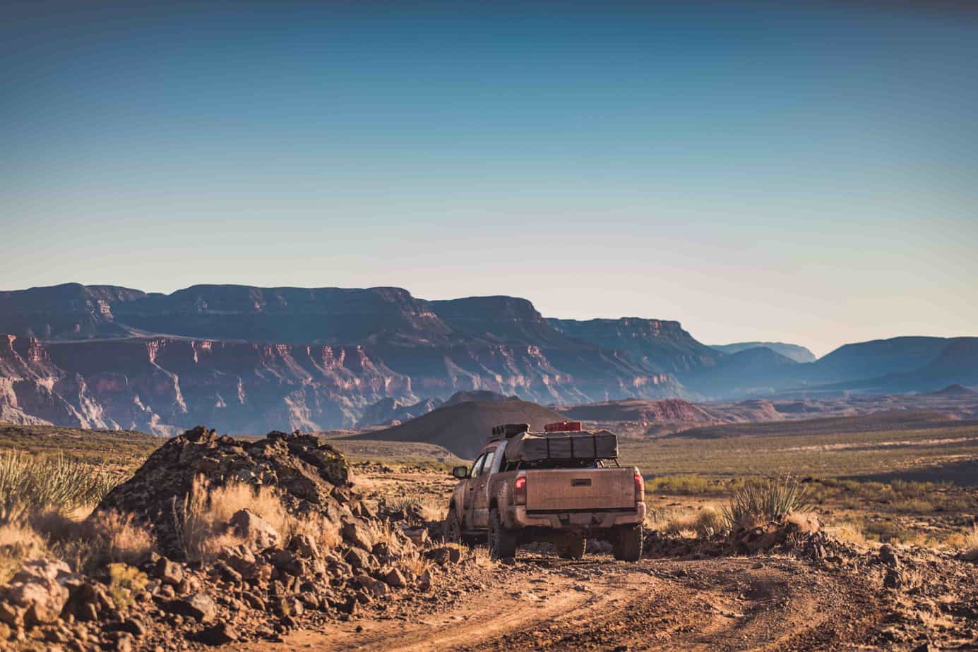
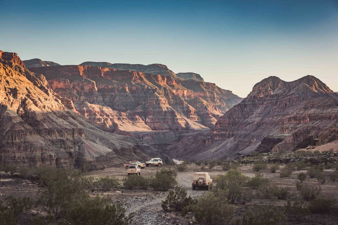
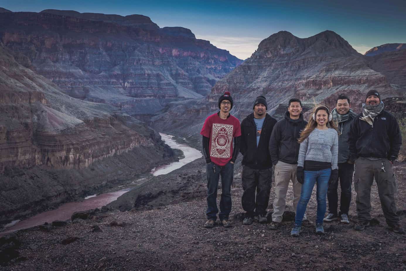
We made our way down over the loose rocks and broken lava fields to our final campsite of the trip, at Whitmore Canyon Overlook—700 feet above the Colorado River. Our timing could not have been any better, as we descended into camp just as the sun set over the hills above us. Looking below, we could clearly see a group of rafters also pulling up to shore to camp for the night.

We spent that night on the canyon edge watching the embers fly from our last campfire of the trip.
The following morning, we broke camp and began the journey home. A dream of over 4 years in the making had been accomplished, and with it came 500 miles of dirt roads, downed trees, ice, mud and freezing rainstorms, new friendships, and a front row seat to the world’s greatest view.
Follow the rest of our adventures through our Instagram page: @TFS.ADV
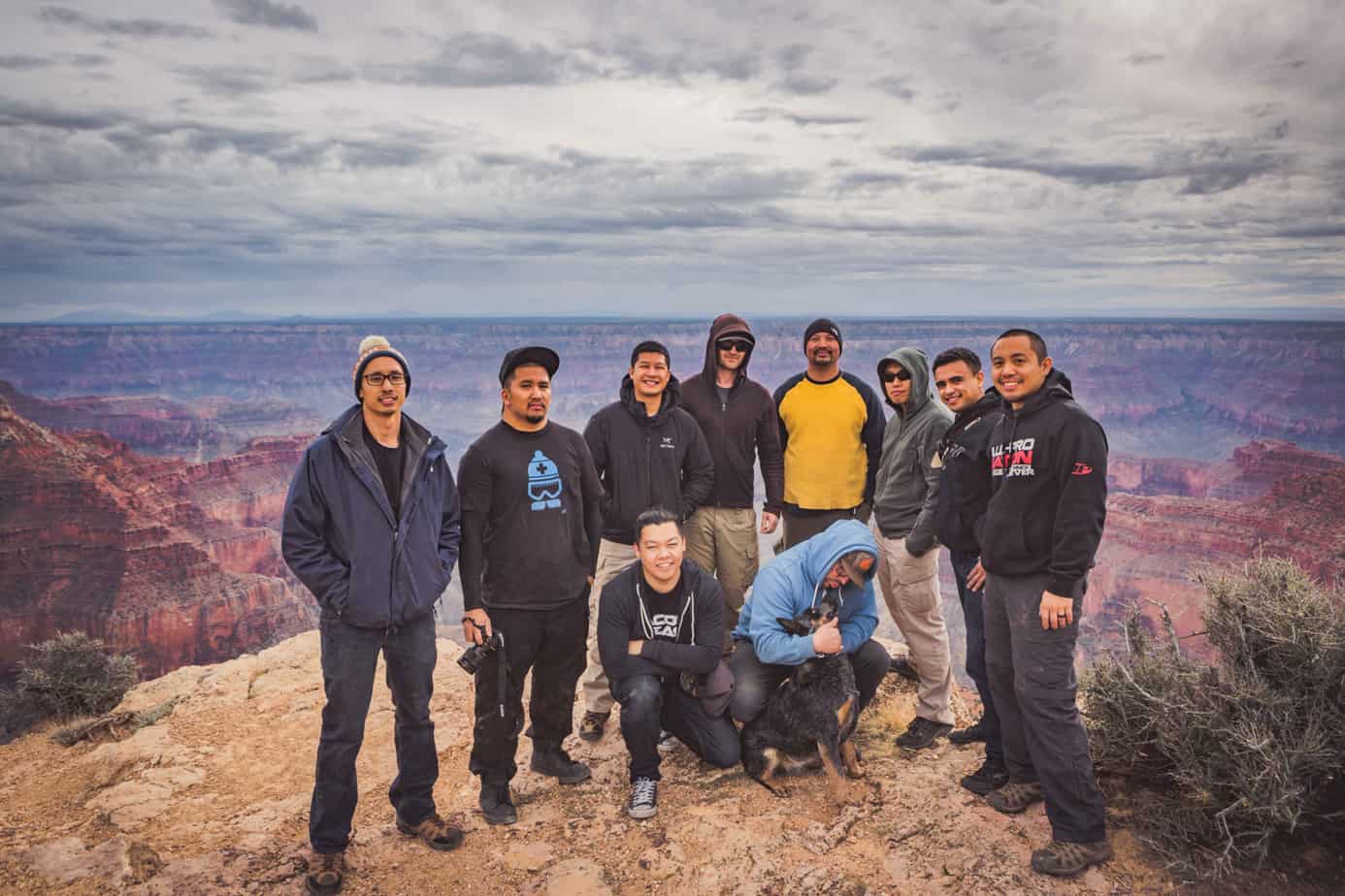
Adventure Members:
Victor (@adv_t4r)
Lindsay (@linzee11)
Daryl (@247Daryl)
Stan (@adventure.at)
Erwin (@errweezy
Alex (@sytfu510)
MJ (@mjonags32)
Alvin (@adv_yota)
J Andy (@jandymendo)
Chris (@chrisvanloanphoto)
Labib (@beeebzter)