Photography by Expedition Overland and Expedition Rove
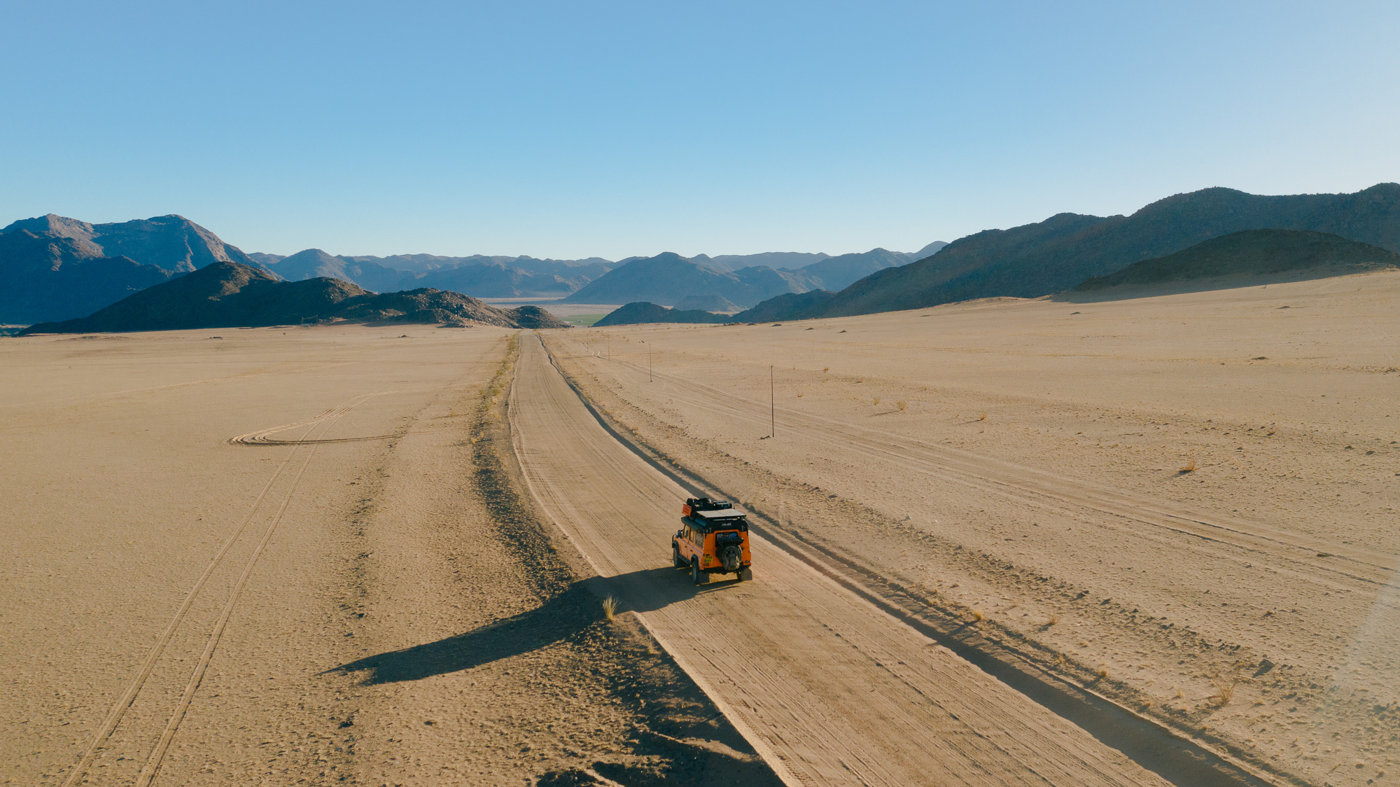
Spanning over 600 kilometers through South Africa’s Northern Cape, the Namakwa EcoTrail is the country’s longest official 4×4 route. The title comes with a certain prestige, attracting those who seek bragging rights associated with completing the route in South Africa. To be fair, though, most trek to this remote northwestern corner of the country for its sun-scorched ruggedness, biodiverse flora, and riverside bush camps. One can easily explore for days, following the sandy desert two-track (where it exists) through parched riverbeds, over mountains of shale, and into the cool and shady oases of the area’s primary life source: the Orange River. If you want an escape in a far-flung region of South Africa, this is it.
Photo/Expedition Overland
General Information: Namakwa 4×4 EcoTrail
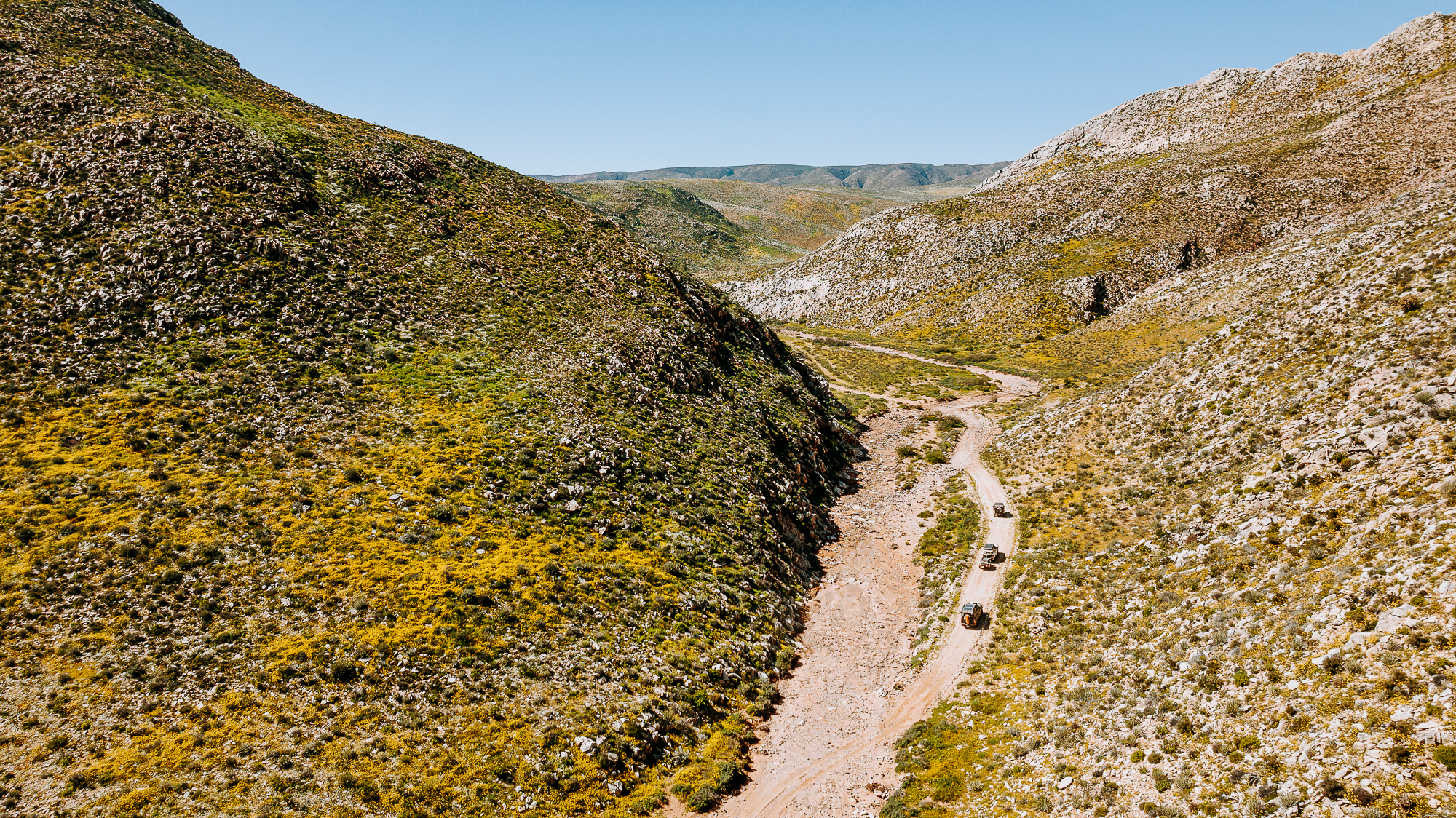
The trail runs through a vast and arid part of the Northern Cape known as Namaqualand, which stretches eastward from the Atlantic Coast to Pofadder and north into Namibia. The region is a biodiversity hotspot which, from July to September, overflows with succulent flora and bursts of flowering neon pinks, oranges, yellows, and greens like an explosion of highlighter pens. The route crosses land that is ecologically sensitive. Best practice is to stay on the main tracks, avoid damaging or removing plants, and pack in your own firewood (available in Vioolsdrift, Pella, and Alexander Bay).
These lands, including those surrounding the Orange River, have been home to the nomadic Nama people for thousands of years. German rule in the early 1900s led to war against the Nama, who were driven into the desert, forced into slave labor, or placed in concentration camps. In 2002, ancestral lands, including the ǀAi-ǀAis/Richtersveld Transfrontier National Park, were returned to community ownership. Traditional music, poetry, storytelling, food, and dance can be enjoyed by hiring a local tour guide through the Namakwa 4×4 EcoTrail website.
While lacking much of the big game in other parts of South Africa and Namibia, the ecotrail passes through the Richtersveld Cultural and Botanical Landscape, which many species call home, including antelopes such as the grey rhebok, steenbok, and kudu species. Zebra, baboons, velvet monkeys, leopards, and a wide variety of birds also live in the area.
Photo/Expedition Rove
The Drive
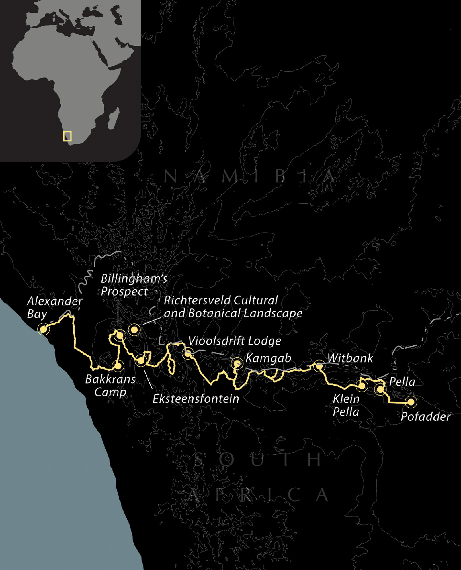
Our journey begins in Alexander Bay—the most northerly town on South Africa’s west coast—where the Orange River (also known as the Gariep, Groote, and Senqu) empties into the Atlantic. At 2,200 kilometers, this river is South Africa’s longest and will become a comforting trail companion in an otherwise extremely arid region. For the next 600-ish kilometers, the river acts as your compass as the trail embraces and retracts from its banks like an on-again, off-again romance.
For the overland traveler, Alexander Bay offers an ATM, grocery store, and fuel station; there isn’t much more other than traces of copper and diamond dust, boom, and bust. North of Alexander Bay via a stretch of badly corrugated road is the Brandkaros Campsite, the best jumping-off point for the Namakwa 4×4 EcoTrail if starting from the west. From camp, proceed east along the Orange River for just under 7 kilometers. Directions from Alexander Bay are outlined below, under “Access,” if you need them. Turn right onto the twee spoor (double track).
Photo/Expedition Overland
With several nondescript buildings at the outset, the track may seem relatively unassuming, but stick with it for another 1.5 kilometers before turning right. The first stretches of the route should feel reassuring. Tire tracks pressed into dirt surrounded by scrub, sand, and sky are signs of good things to come. Continue to the Holgat River, where you will descend into a dry valley interrupted by rock and tree debris. Reminiscent of the American West, whirring metal windpumps come as a surprise, diligently drawing water out of underground aquifers. The Namakwa 4×4 EcoTrail map refers to this riverbed section assukkel, or struggle, which seemed fitting as the trail is lost for a time, and drivers must find their own way through while simultaneously leaving as little impact as possible.
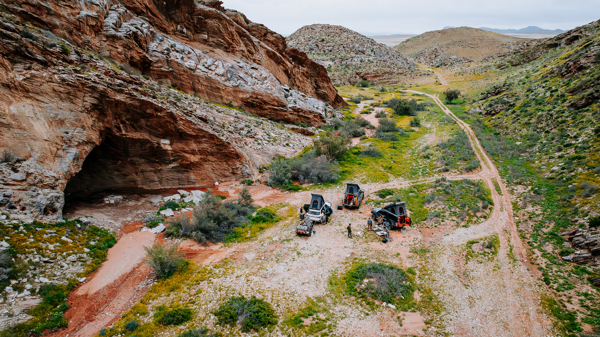
The next segment is punctuated by red sands and dunes until the signposted Y-junction for the Bakkrans Camp. Coming from the west, turn right at the sign and follow the track in a semi-circle before making another right turn toward the cave. This is a great campsite for the evening, but if you wish to continue, head north, taking the offshoot loop to the Tierhoek Camp. Located in the Richtersveld Conservancy at the edge of the Ploegberg Mountain, this spot is near a slot canyon and is equipped with drop toilets and a dedicated braai area. Stop by Billingham’s Prospect on the way out to inspect the vertical mine shafts indicated by two adjacent concrete dam structures.
Photo/Expedition Overland
The track continues to Eksteenfontein, where visitors may stock up at the local shop or tour the streets by donkey cart to learn more about the customs and history of its inhabitants, the Nama people. Heading west, the route eventually moves north toward the Orange River. The optional Kristalberg loop is marked by a field of rock cairns near the turnoff and adds a minimum of four hours to the route. Returning to the main track, you’ll notice several petroglyphs engraved on large rocks by the roadside. Believed to have been created by the San people several thousand years ago, the petroglyphs, unfortunately, serve as a cautionary tale on the ill effects of defacement but are worth admiring, nonetheless. As the day wraps up, consider popping into the Richtersveld Wilderness or Growcery camps for the night. Both lie within a lush oasis fed by the river’s flowing waters.
Proceed to the N7, a paved highway that runs past the Vioolsdrift border post with Namibia. No fuel is available in town; however, a small grocery shop near the Vioolsdrift Lodge sells firewood, cold drinks, and snacks. From the grocery, proceed for 34 kilometers southbound on the N7. A dirt track will appear on the left, which marks a transition into the Namaqualand portion of the trail.
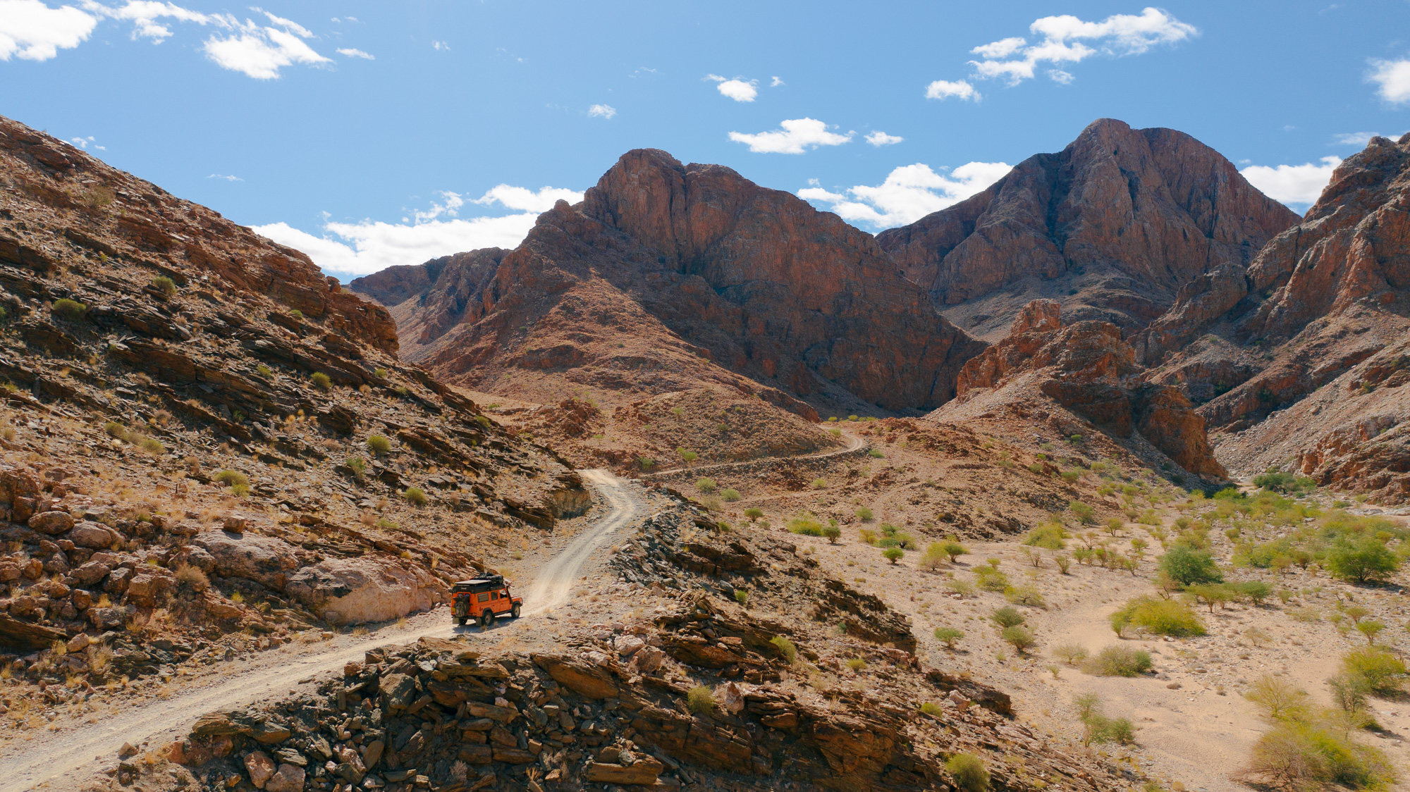
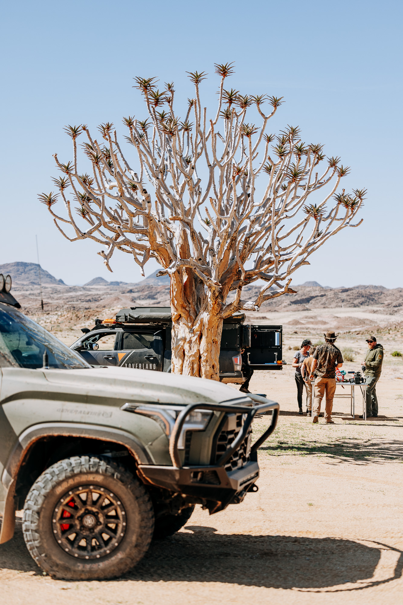
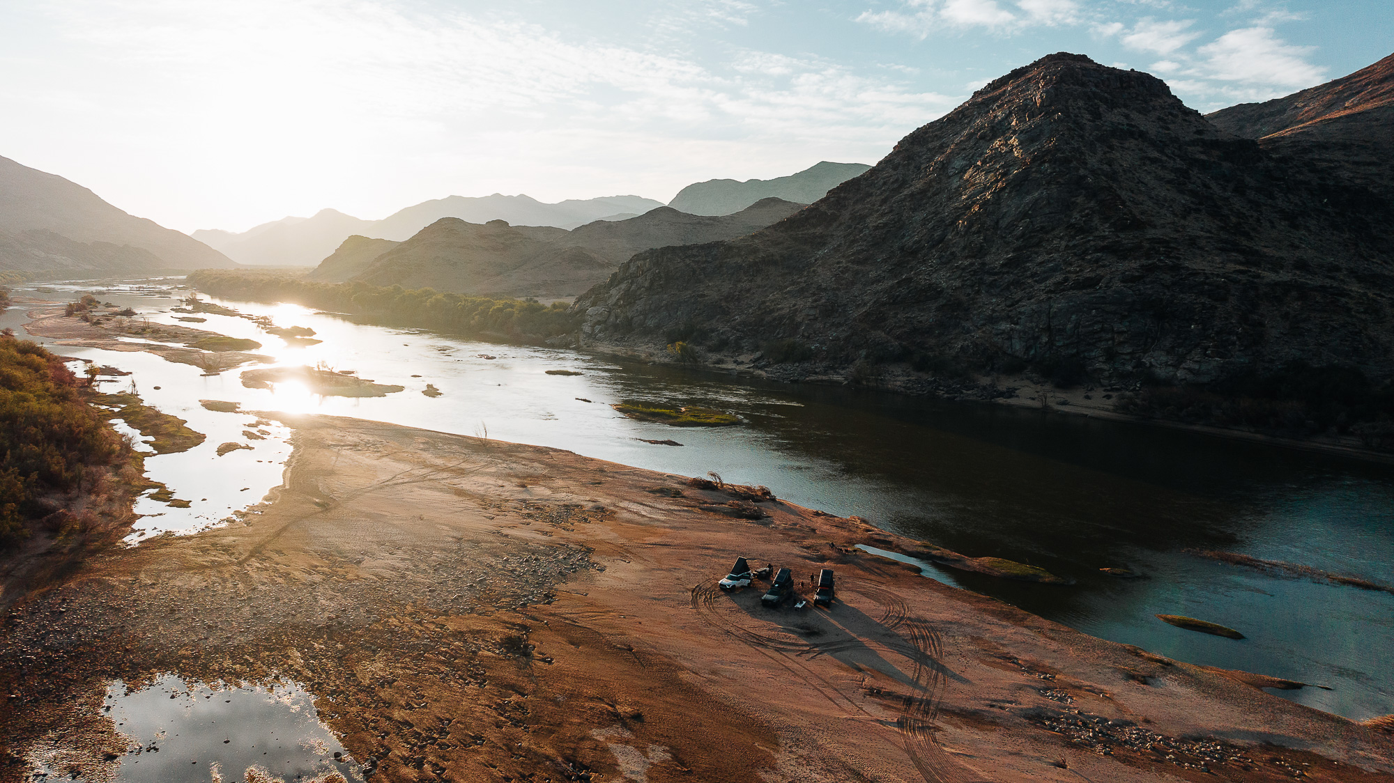
Flat, open desert sands morph into dry riverbeds and mountainous topography. Here, the succulents Pachypodium namaquanum (also known as halfmens due to its half-plant, half-human appearance) and Aloidendron dichotomum (the mighty quiver tree) add interest to the landscape, especially during the blooming season between August and October. If you have time, a 19-kilometer (one-way) side quest to Kamgab’s riverside camp is up for grabs; otherwise, the Ramansdrift and Melkhoutboom wild camps make lovely, peaceful alternatives with the opportunity for a swim or busting out the fishing rod.

Photos/Expedition Overland
Continue eastward to Witbank, a village subsisting on agriculture, livestock farming, and the nearby zinc mine. Say hello at the tourism information office, which displays handmade arts and crafts. Ambrosius Pretorius, a local guide, is available for hire and offers a wealth of knowledge about traditional Nama dance and food. From Witbank, the track passes a field of towering date palms, which provide an early preview of the nearby Klein Pella farm, where campers cool off in the swimming pool, scrub clean by hot shower, or jump at the chance to taste the local sticky sweet dates.
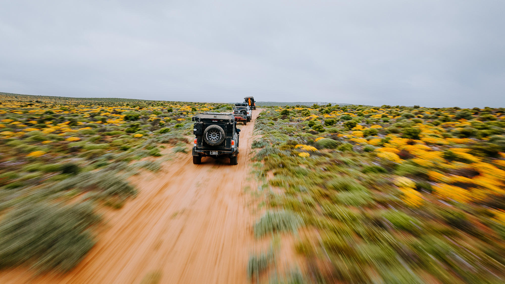
From Klein Pella, skirt toward the Orange River one last time, following it for 24 kilometers. The oasis of Pella marks the final village of the Namakwa 4×4 EcoTrail and is reached via Canyon Pass (west) or Charlie’s Pass (east). For Canyon Pass, turn right at the 24-kilometer mark. For Charlie’s Pass, continue another 2 kilometers and take a right. Passing Pella’s Roman Catholic church, turn onto Pella Road and follow for 16 kilometers to the N14 highway. Proceed past the ecotrail welcome signs, open the entrance gate, and pause to air up your tires before hitting the pavement (and closing the gate behind you). This marks the end of the Namakwa 4×4 EcoTrail. Congratulations, you made it.
Photo/Expedition Overland
Access
The official direction of the route is from Pella, westward, toward Alexander Bay via Vioolsdrift. However, you can complete the trail in reverse with just as much effectiveness.
West: Head south from Alexander Bay toward Kolgans Avenue. Take two lefts, which will take you onto the R382. Continue straight for 31.6 kilometers. Turn right onto a dirt track and proceed on route. 28° 30’17.84″ S, 16° 43’21.86″ E
East: Driving west on the N14, bear right and take the turnoff to Pella, located 15.5 kilometers from Pofadder. Proceed on route. 29° 7’37.70″ S, 19° 13’7.70″ E
Logistics
Total kilometers: 620
Suggested time: Pella to Vioolsdrift, 2-3 days; Vioolsdrift to Alexander Bay, 2-3 days; total route, 5-6 days
Longest distance without fuel: 620 kilometers
Fuel Sources
KLK, Pofadder, South Africa 29° 72′ 9.61″ S, 19° 23′ 51.08″ E
Engen, Noordoewer, Namibia 28° 44′ 12.91″ S, 17° 36′ 56.74″ E
Engen, Alexander Bay, South Africa 28° 36′ 41.27″ S, 16°29′ 37.00″ E
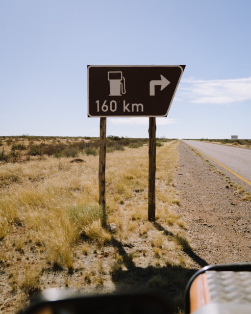
Photo/Expedition Rove
Difficulty (3.5 out of 5.0)
The Namakwa 4×4 EcoTrail consists largely of gravel and corrugated roads, sandy sections, and rocky riverbeds. A four-wheel-drive vehicle is preferable for the occasional technical and washed-out riverbed sections. The riverbed changes seasonally with the movement of debris during flooding, so route-finding and engaging low range may be required in the dry season. Rugged off-road trailers can successfully complete the route. In light of this, the entire trail is rated as moderate.
When to Go
To avoid the extreme summer heat, travel from March to October. August to October marks the Western Cape’s wildflower season, which is well worth experiencing if you can. Note the Orange River is prone to flooding.
Permits and Fees
Visit the Namakwa 4×4 EcoTrail contact page to secure permits. Each package costs 550 ZAR (South African rand), equivalent to approximately $29 USD at the time of writing. This fee includes wild camping. The Namakwa EcoTrail website recommends keeping your stamped permit, paper, or digital version on hand as local guides do regular spot checks.
Suggested Campsites
BRANDKAROS CAMPSITE
Next to Alexander Bay, 10 shaded sites with power, hot showers, potable water, and friendly owners
28° 28′ 40.98″ S, 16° 41′ 14.53″ E
BAKKRANS CAVE
Dispersed camping, scenic valley views, two large caves with firepits and wind protection, room for multiple vehicles
28° 51′ 47.8″ S, 17° 4′ 31.18″ E
GROWCERY CAMP
Next to the Orange River, groovy vibes, hot showers, power, braai area, bar service, rafting trips and safaris available to book onsite
28° 41′ 46.92″ S, 17° 29′ 54.74″ E
KAMGAB
Dispersed camping, accessed by a 19-kilometer meandering dirt road, mountain views, scrub trees, close to the Orange River
28° 50′ 43.60″ S, 18° 1′ 9.31″ E
RAMANSDRIFT
Dispersed camping, 10-kilometer side quest via a sandy valley track, rocky riverside camp, picturesque and peaceful
28° 53′ 6.88″ S, 18° 19′ 56.74″ E
MELKHOUTBOOM
Dispersed camping, scenic river camp with room for large groups, quiet spot perfect for enjoying a sundowner and watching the local baboon troop
28° 53′ 52.97″ S, 18° 23′ 10.87″ E
KLEIN PELLA GUESTFARM AND CAMPSITE
Biggest working date farm in the Southern Hemisphere, hot showers, potable water, room for groups, scenic views, 4×4 trails onsite
29° 0′ 18.29″ S, 19° 0′ 38.15″ E
Contacts
Namakwa 4×4 EcoTrail Information Office info@namakwa4by4.gov.za, 081-873-9042
Tracks4Africa tracks4africa.co.za
Resources
Once you secure a permit, a Namakwa 4×4 EcoTrail contact will send digital trail maps and brochures with GPS coordinates, daily route descriptions, tourism information, and suggestions for activities and local guides in the area. Tracks4Africa offers GPS maps and an app that contains route tracks (see website above). In addition, South African YouTuber Matt Dubber shared Gaia GPS tracks as part of his Namakwa EcoTrail series, while Roam Overlanding’s eight-part series is worth watching to preview the scenery and landscapes.
It is recommended that the traveler utilize redundant GPS devices (like a phone and a dedicated GPS), along with paper maps and a compass. This track, along with all other Overland Routes, can be downloaded on our website at overlandjournal.com/overland-routes/.
22 Overland Route descriptions are intended to be an overview of the trail rather than turn-by-turn instructions. We suggest you download an offline navigation app and our GPSX track, as well as source detailed paper maps as an analog backup. As with any remote travel, circumstances can change dramatically. Drivers should check road conditions with local authorities before attempting the route and be ready to turn back should extreme conditions occur.
Editor’s Note: This article was originally published in Overland Journal’s Gear 2024 Issue.
Our No Compromise Clause: We do not accept advertorial content or allow advertising to influence our coverage, and our contributors are guaranteed editorial independence. Overland International may earn a small commission from affiliate links included in this article. We appreciate your support.
For more, please enjoy Episode 161 of the Overland Journal Podcast: Expedition Rove on Overlanding South Africa and Namibia


