Editor’s Note: This article was originally published in Overland Journal’s Gear 2022 Issue.
I was excited like a schoolboy in late June on the verge of a wild summer. It was a feeling I’ve had so many times, on so many big adventures, but oddly, different. For most of my adult life, my outdoor aspirations have been focused on something to stand on top of. Whether following aesthetic lines to a summit or frozen waterfalls to the top of a cliff, the goal was always palpable, right in front of you, teasing progress forward. Over the last decade or so, I’d fallen in love with a different kind of adventure: the misanthropic art of escaping. Not behind locked doors or to shopping malls, but places far off the beaten track, hoofing it with just a friend or two, tracing unknown paths through unknown terrain with uncertain outcomes. It was no surprise that I discovered doing something similar—on wheels instead of feet, with a well-stocked cooler and far lower chance of dying—turned out to be pretty enjoyable too.
What was surprising was my infatuation with a whole new kind of absolutely nothing, the kind that most of us have only seen through window glass, from the comfort of conditioned air, on the way to somewhere else. Largely devoid of sharp summits and clear goals, this kind of barren nothing is a sea of sagebrush, roiling with enormous waves of earth and troughs of ancient lake beds. It’s also largely devoid of people. In fact, somewhere out here is rumored to be the farthest point in the continental US from an interstate highway. It is perhaps a dubious distinction unless escaping is your thing.
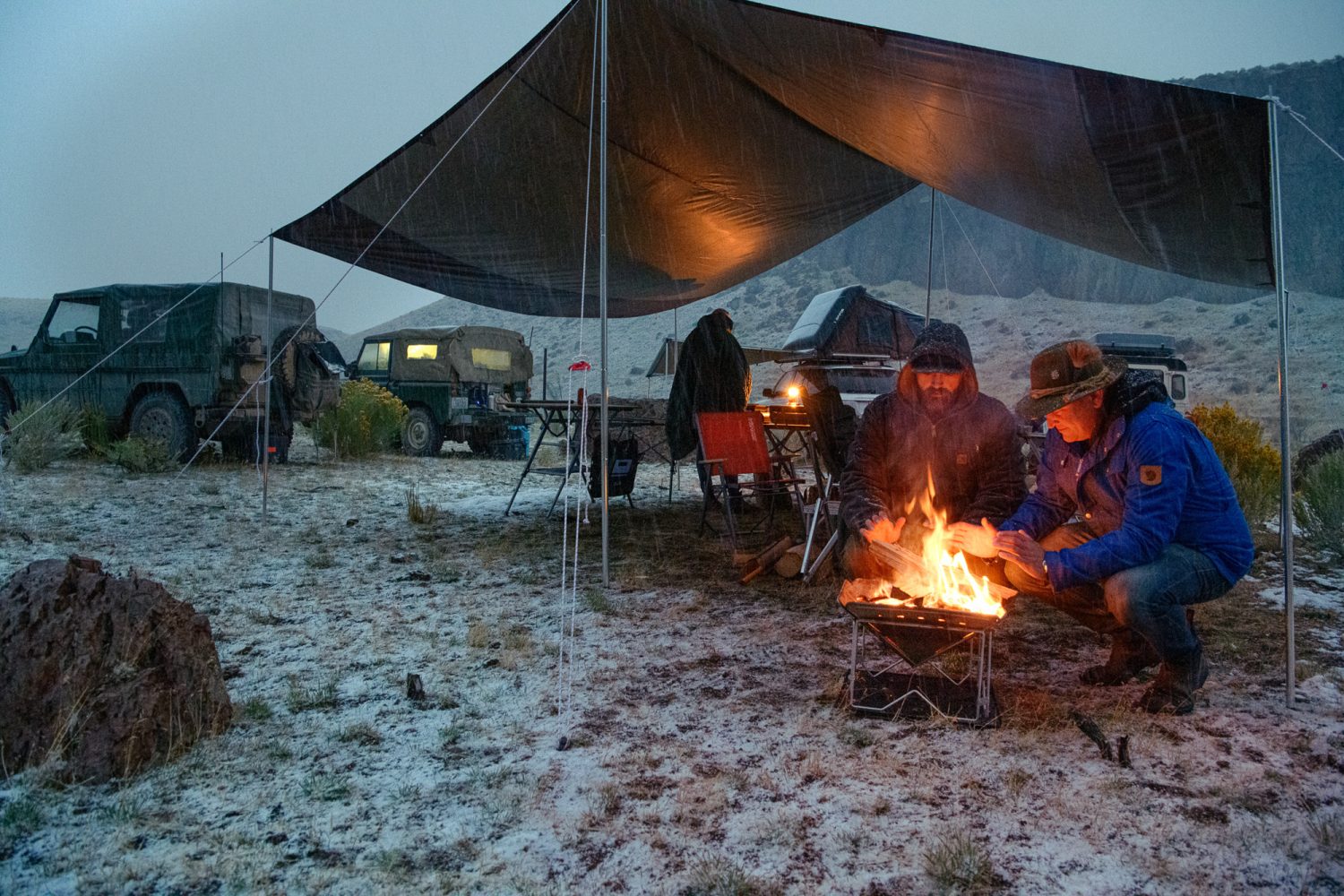
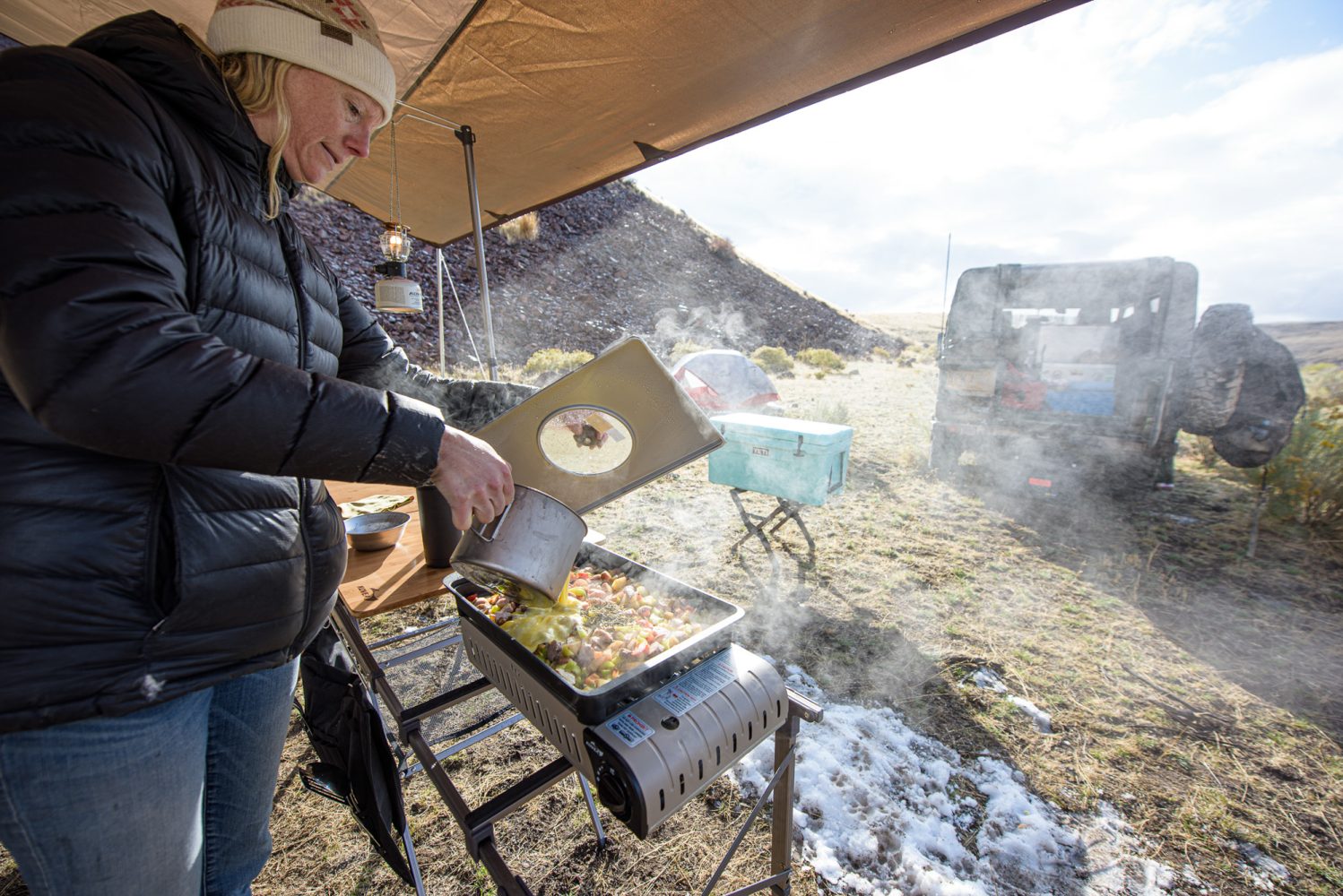
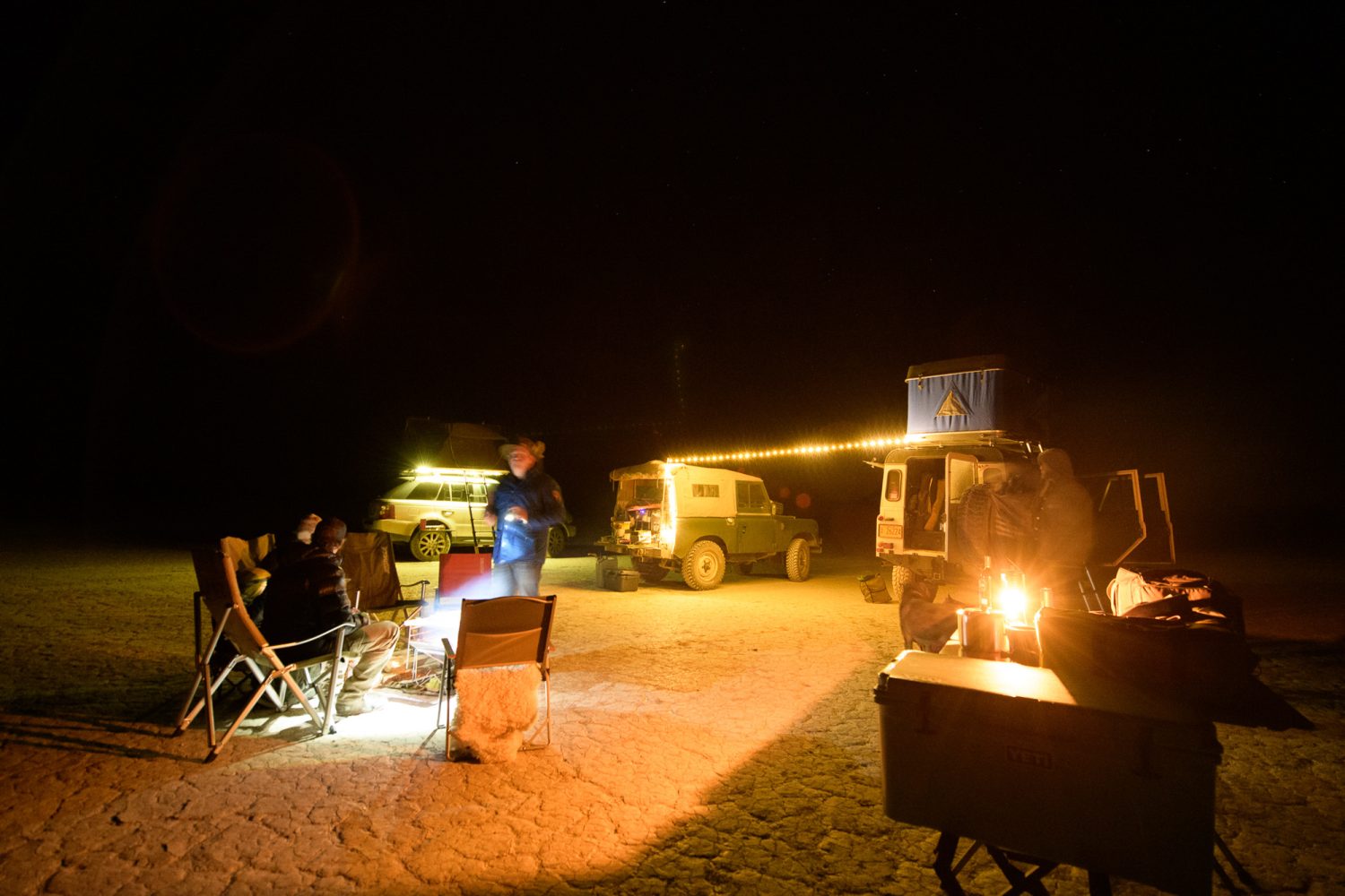
The six players on this particular trip knew we were pushing our luck on a few fronts, with fickle fall weather being a big one. Thus, the towering black wall of clouds that suddenly began pummeling us with the first heavy snow of a young September fall did not catch us unawares. It arrived with an intensity that had us laughing like kids as we slammed doors shut and ran for cover under the giant camp tarp we’d barely just set up. Once the blast from the storm’s leading edge had passed, we were left in near silence, listening to the slow hiss of small avalanches sliding off the tarp’s taut surface. Darkness was fast on the heels of the storm, and it was time to work on a fire, a bottle of bourbon, and the easiest dinner we could muster.
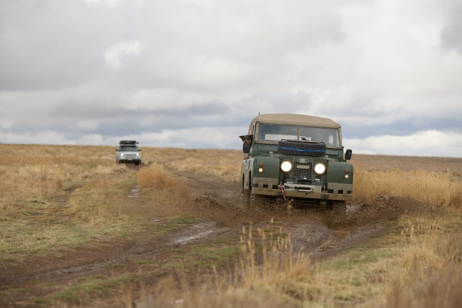
Winter’s abrupt arrival had almost ended this trip before it started. Just two days prior, as I left Seattle in torrential rain to meet Josh and Toby in Portland, parts of Montana were getting hammered with a storm worthy of February, dumping over 30 inches of snow. The Mesdag clan–Owen, Jenny, and their 8-year-old son, Tao–left town the day before to get a jump on us. They’d be rolling slow, towing a 1964 Series 2A Land Rover named Sarge behind its younger, Rover Sport offspring—a family within a family.

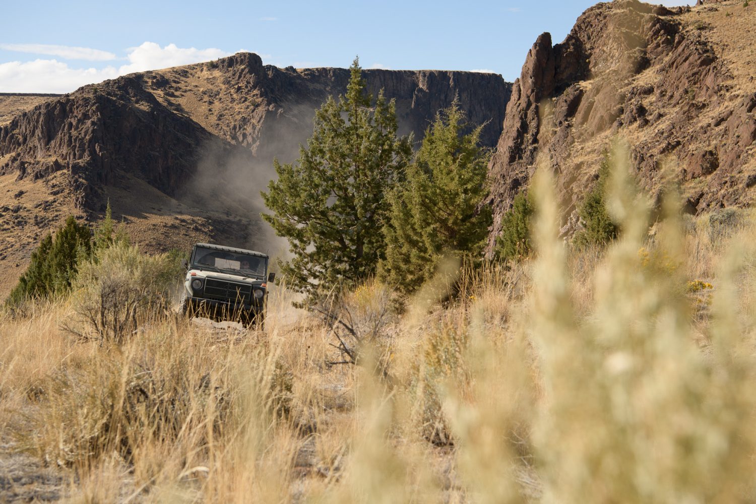
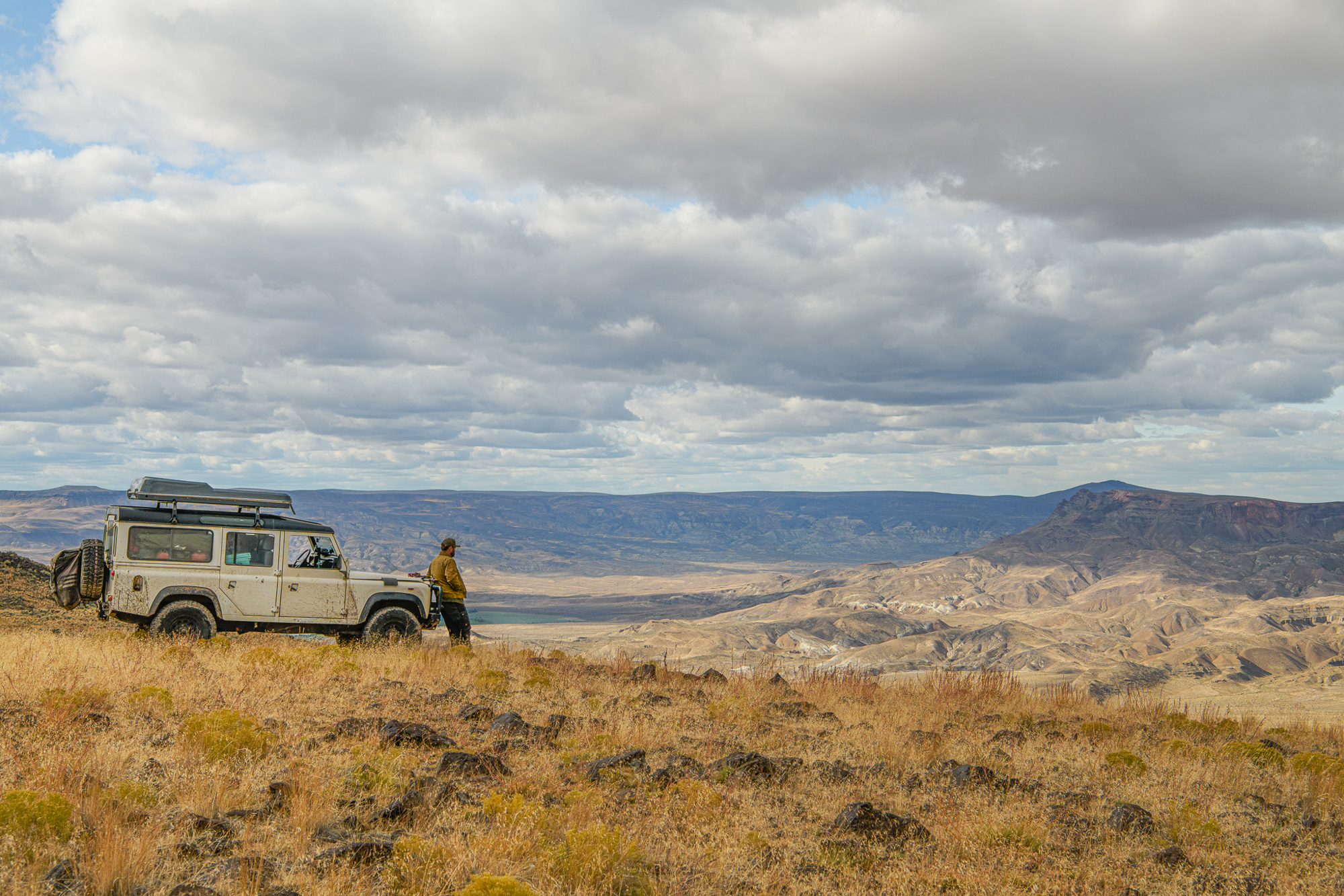
All of us drove through the southern edge of that big storm the next day, aiming for our rendezvous point some six hours east. We hit snow, wind, and rain with the occasional yet promising burst of sun along the way. I rode shotgun with Josh in his “rustic” Defender 110, with a portable Bluetooth sound system waging battle against the engine, transfer case, road noise, and conversation as we tried to keep up with Toby in his well-appointed diesel G-Wagon. We were headed for the far northern reaches of America’s Great Basin.
A giant swath of anomaly-packed geography that encapsulates both the highest and lowest points in the Lower 48, the Great Basin stretches from Utah to California and the Baja peninsula to Oregon. It is comprised largely of hardscrabble and sage-covered, high-desert ranges, towering over ancient seabed basins that stretch on for disorienting, featureless distances. Those seabeds and salt flats are here thanks to one of the area’s greatest aberrations: there is no hydrologic path to any ocean from here. Like secrets in Vegas, any drop of water that falls or flows from within this basin stays in this basin, with evaporation being its only hope of escape.
This is a massive, largely inhospitable area whose northern reaches are the sacred homeland of the Paiute Tribe, invaded and settled in the late 1800s by hardy Basques in pursuit of golden ambitions. Today, it remains the home of the Paiute, while much of it is owned by cattle ranchers and the US government. The latter has the unenviable task of balancing the seemingly disparate needs of the former with river runners and other environmentalists who also appreciate a lot of nothing and think it should be protected. It’s an area with a consummately Western tension where views collide.
As we pass Burns, Oregon, pools of golden sunlight break through the clouds, illuminating the vast rangeland around us. The dramatic play of light and shadow adds even more depth to the rich hues of the enormous volcanic hills and bleached, mirror-smooth basins around us. We skirt the northern end of Harney Basin and the now-infamous Malheur National Wildlife Refuge, where self-professed American patriots took a paradoxical stand against the tyranny of government, claiming sovereignty on stolen Paiute land.

Soon after, the familiar hulk of Steens Mountain fills the windshield, spilling well past its edges. Named for a man sent here to drive the Native Americans from their home in the late 1800s, Steens is a fault-block mountain, created when one side of a fault is thrust directly upward. In this case, the resulting 40-something-mile-long hulk of rock rises gently from Harney Basin to the west and drops with over a mile of steep, vertigo-inducing relief into the Alvord Basin to the east. The road grade sneaks over the giant’s gentle northwestern edge, where we crest a pass and soar into the flat, featureless, mountain-rimmed basin below.
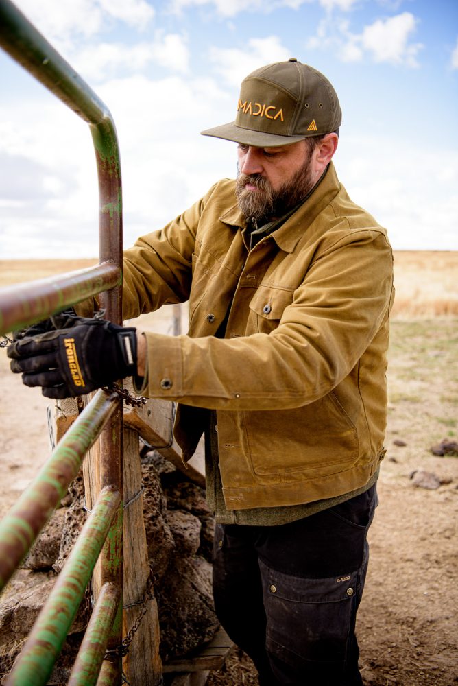
Our group was intentionally small. We had no idea if our route would go as planned, and finding the right mix of people to comfortably confront surprise situations in the middle of nowhere is pure alchemy. It felt good knowing we had curated a small cadre of solid people, each with something to offer—even Tao. The Mesdags were long-time friends; Josh, who runs Nomadica Outfitters, had introduced me to this part of Earth just a year before; and Toby, purveyor of the Scheel-Mann seats we all dream of in our rigs, came highly recommended by each.

The trip itself was the brainchild of Josh. He’d been coming down this way for years and had the idea of connecting a bunch of places he’d been via a bunch of places he hadn’t. In all, the itinerary would follow over 300 miles of dirt roads, two-track, fence lines, and rivers coursing through a patchwork of public and private land and Wilderness Study areas with names like Fifteen Mile Creek, Oregon Canyon, and Lookout Butte. Two-thirds of it were known to us only through satellite imagery and the magical, adventure-birthing resources of modern-day navigation apps. Though technically mild overall, three crossings of the Owyhee River, along with utterly remote, range-stretching segments and the sidewall-eating volcanic rock of the area, were our primary concerns. That little bit of uncertainty is exactly what made the whole itinerary so perfect. A true adventure, after all, doesn’t come with directions.
Aside from the unforgiving elements for much of the year, part of what keeps the area so wild is that it isn’t on the way to anywhere. There is no excuse to just “swing in” on your way somewhere else. There are precious few services spread across thousands of square miles, almost no cell service, WiFi is a myth, and there are places where breaking down could leave you stranded, with a very long and committing walk in a waterless desert being your only way out. You have to want to come here. You have to want nothing.
Yet, it is surprisingly navigable over a patchwork of roads and lesser tracks, some of which appear to have been unused for a generation. Modern satellite imagery yields thousands of miles of faint brown lines to explore, with innumerable paths from as many Point As and Point Bs. As with so much of the Great Basin, these lines, and the scattered bones of homesteads throughout, are frequent reminders of people that have come here and tried to tame it. The dilapidated condition of their abandoned dreams and the extremely rare still-occupied homestead make it clear that living out here is reserved for an exceptionally unique breed of human. And cattle—lots and lots of cattle.
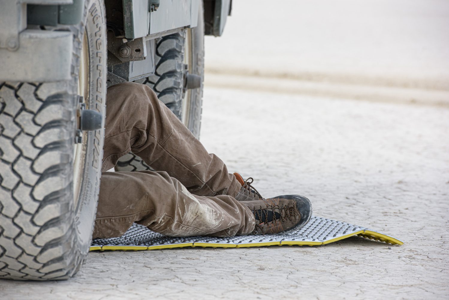
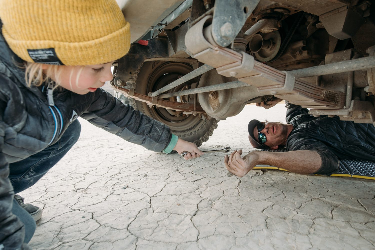
We rallied late in the day on the southern reaches of the Alvord Desert. Tired and cold, we skipped plans to hit the nearby hot springs, opting instead for exploring, firing off some rockets with Tao on the playa, and watching snow squalls break away from Steens and then drift silently over the lake bed. Reinstalling the driveshaft on Sarge was a highlight, too. Owen had removed it to flat-tow for the seven-hour drive, and Tao eagerly handed box wrenches to his dad as needed. Clearly, Owen’s unstoppable drive to tinker will live on well past him.
We spent the night under the stars. With temperatures in the low 20s, we began to realize that the flip-flops and shorts we’d optimistically brought would likely never leave our bags. If you’ve ever slept out on the broad expanse of a dry lake bed, three things generally occupy the mind as you ponder your morning plans. The first is driving fast and doing doughnuts—that’s a given. The second is pooping, as the challenge of doing it responsibly and with privacy is real (this can’t be just me, right?). Lastly is the very rational fear of rain with a mixed forecast. Few things give the locals more pleasure than watching a storm roll in while a bunch of tourists unwittingly hunker down on hardpan that’s soon to be a bottomless, gluey soup. Suffice to say, a light morning sprinkle sent us scrambling to pack up. Even still, pounds of mud instantly stuck to our shoes and anything else that touched the lake bed. In the interest of time and needing to fuel up, we figured heading straight for breakfast at the local gas station/diner/general store/hotel/garage/rest area in Fields would be the easy way to start our morning. An eclectic and surprisingly large mix of ranchers, moto riders, city hipsters, and overlander types entered past the front counter stocked with gum, knives, boxes of ammo, cheap liquor, and chewing tobacco. We were all here to avoid the cold rain and descended on the small, open kitchen with our breakfast orders.
What you can’t do in a town with a population of 120 people, one griddle, and one cook is complain about slow service. Instead, we figured out how best to start our first leg and reveled in the pace, fretting a little over the mileage we had to cover while sipping coffee so thin you could see through it.
Two hours later, the weather had broken, breakfast was internalized, and we’d settled on a way across the very southern edge of the Alvord Desert. Hopefully, this powerline route would avoid any mud and keep us off a more developed dirt road farther south that would not be near as fun. As would be the case for much of our trip, service roads along fences and power lines would take us deep into places with no other options. We’d then drift off onto even fainter lines, aiming to link up with the next, more obvious pathway and repeat.
The technical term for the geography is Basin and Range; driving east, we see precisely why. We climb steeply up from the sandy Alvord Basin and onto the shoulders of a broad range via a rough, deeply rutted, and rocky drainage. As with much of the trip, we find it much easier driving once on top, but the sharp, volcanic rocks of the Owyhee are never far beneath the surface.
We’re not making very good time either. Owen is predictably slow with Sarge and its spartan suspension, while Jenny and Tao, dealing with the regrettably limited and low-profile tire options for a Range Rover Sport, tried valiantly not to shred a sidewall on the brutally rocky terrain. After a few hours, we needed to make a call: jump out to a dirt road coming up and shave a ton of mileage (and adventure) off the trip or continue on a backcountry path through likely rougher terrain that would eat up the extra day we’d saved for an emergency. This would also be the first section of the trip where range would be stretched for most of us. The choice came refreshingly easy.
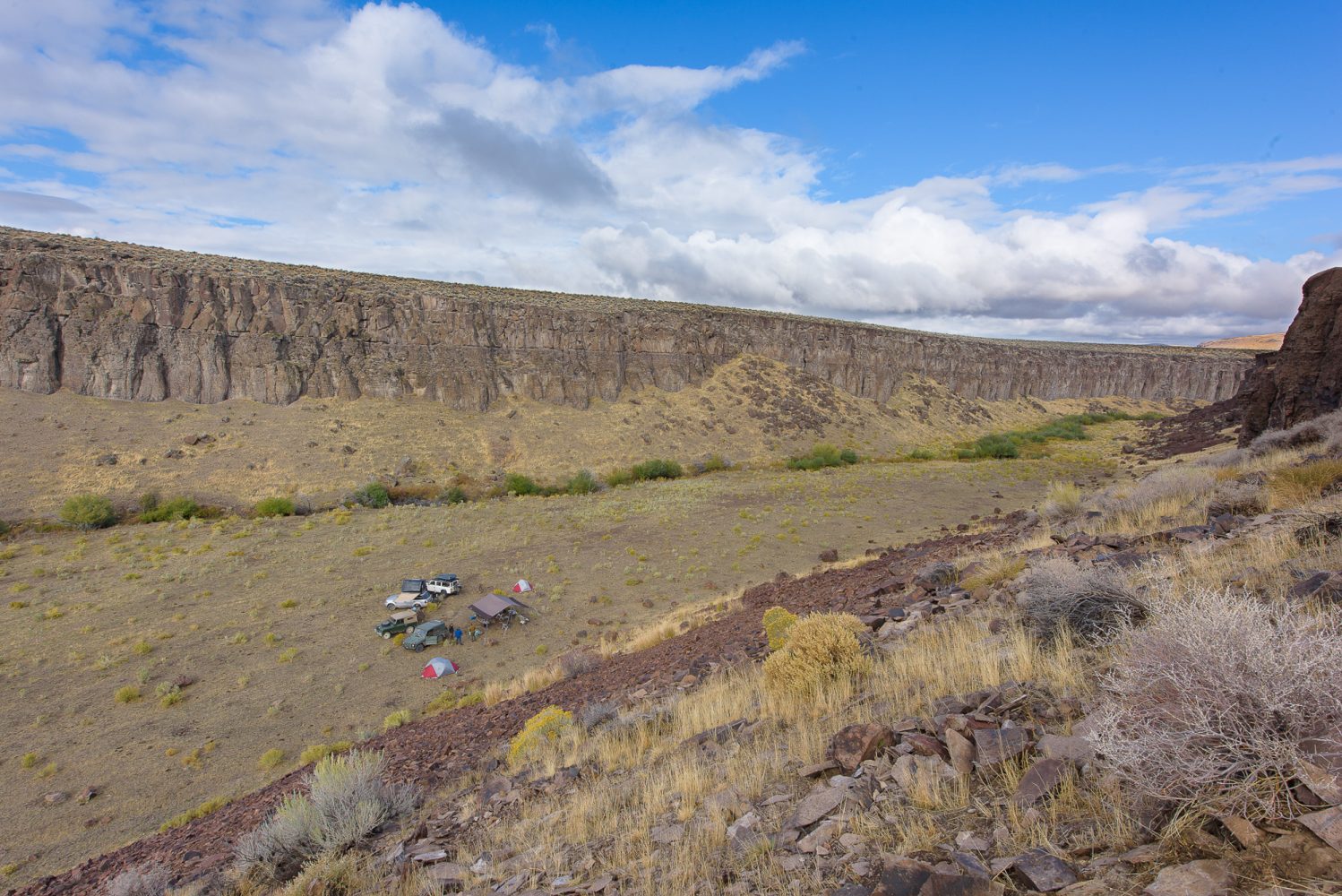
The backcountry route took us high into hills none of us had seen before, and, no surprise, it was stunning. Somewhere roughly halfway between the Alvord Desert and the Idaho, Oregon, Nevada (ION) Highway, we decided it was time to camp. Finding a good spot for four rigs is not easy, though, and we were now helplessly exposed to the same ominous black clouds forming to the south. In the waning light, after many failed off-track sorties to locate a campsite, we found a faint two-track off the main stem and followed it on a desperate whim. It led down to a stunning natural corral, tucked deep into a hidden box canyon. Impossible to see from above, it was surprisingly flat, broad, and full of cow pies, but we could imagine no better solution to our predicament.
The entirety of the following day was spent winding our way across the remainder of the high rangeland we were on, dipping in and out of the wet snow that still clung to high points and north slopes. It was deer season, and hunting camps were frequent, with a few tarps in trees covering fresh kills hinting at some good luck. A hunter would later tell us he’d waited 17 years for a permit so he could hunt here with his grandfather.
As we approached the high point of the range on its eastern flank, we climbed back into the snow and soon began the long descent into the next basin, where the ION Highway would take us to our first refuel in McDermitt, Nevada. We got out of the trucks a lot through this section, not to scout but simply to stare at where we were. Though we’d only ever seen pictures of Mongolia, we agreed that we could very well be driving the steppe.
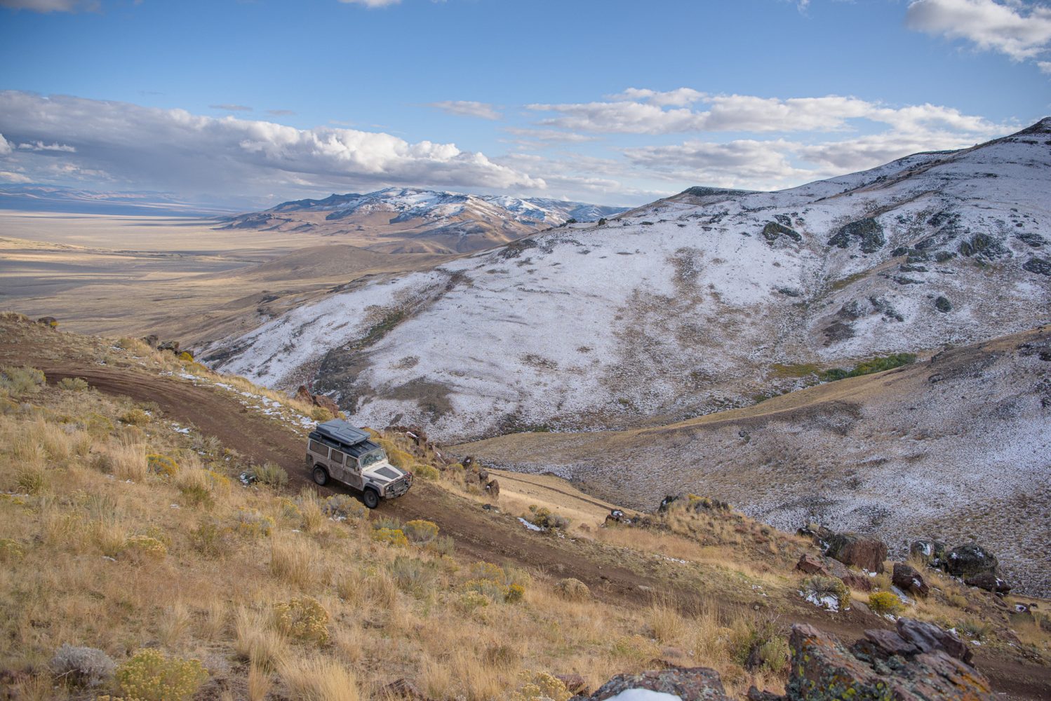
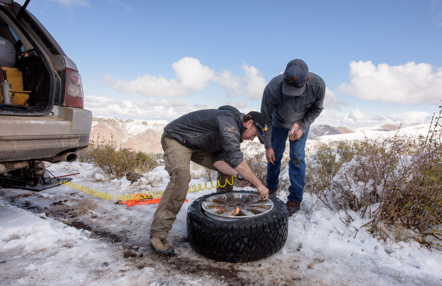
This was also the scene of our first mishap. We’d stopped high above a drainage to take in the views, and as Jenny approached, there was the disturbing sound of metal slapping rock. At some point on our way down off the high range, a piece of that infamously sharp volcanic rock had torn a 1-inch gash in one of her sidewalls. Numerous failed attempts were made to fill the void with wads of tire plugs and glue, yet all succumbed to the final attempt to reseat the tire on the rim by blasting it full of starting fluid and igniting it. Each time, the explosion of air launched the plug impressively skyward.
We reluctantly put on the spare, just two days into a five-day trip, and cautiously slow-crawled down to the highway over long stretches of the same sharp rocks. That night, back on the trail, the Mesdags made the hard choice to head back to the pavement. We took the obligatory group shot the next morning, said goodbyes, and Josh, Toby, and I headed into the unknown.
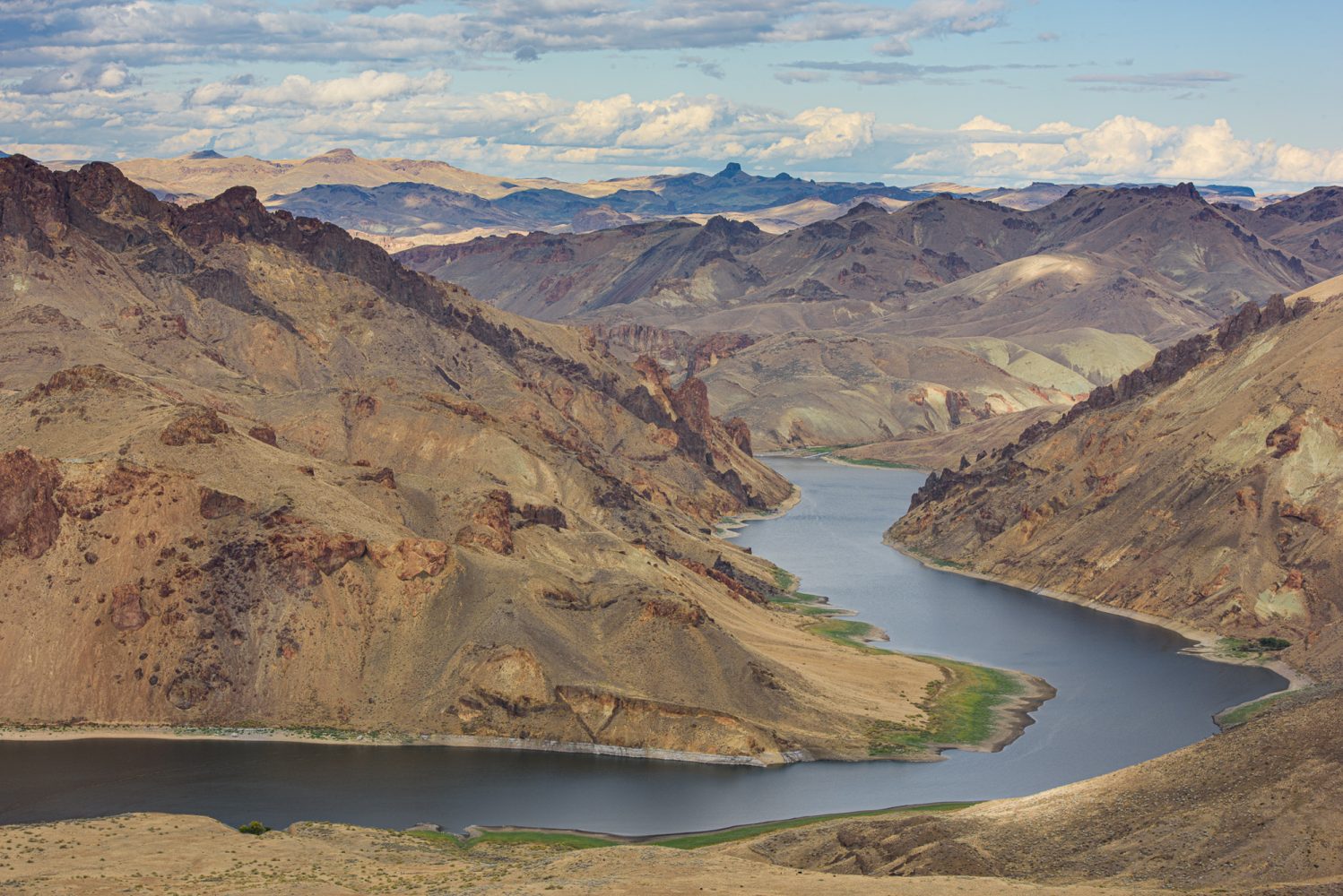
Once again, we climbed up out of the basin onto a high plateau. We were now following some of the faintest tan lines we’d spotted from 12,500 miles above. We dropped briefly to make our first crossing high on the Little Owyhee River (a mere trickle) and climbed back up to the rim of the eponymous Canyonlands stretching out before us.
In a seemingly endless sea of sagebrush and distant ranges, decades of disuse had rendered the tracks we were aiming for impenetrably overgrown. Chest-high sage grew everywhere, but we noticed that if you looked at just the right angle, the faint scar of a two-track was still visible through the pungent, gray-green forest. It looked improbable, but it was maybe a 1/4-mile diagonal to another fence line, so we decided to give it a go.
After a few hundred yards, the engine sputtered to a halt. Here? Really? After a brief moment of disbelief, Josh quickly diagnosed that the sage had ripped the wires off his fuel pump, which was bolted in an oddly exposed position on the undercarriage. A simple fix, but with it likely to happen many more times, we conceded the path back to Mother Nature and backtracked to plan B—a less-direct fence line track to the south. It was largely clear of sage, but the seasonal survey of the fence laid bare the Owyhee’s jaw-rattling rocks, even aired-down all the way.
After an unceremonious crossing into Idaho, we descend to our second river crossing. After a quick scout, it goes easily, the water just briefly creeping in through the doors at its deepest. We climb once more up to the plateau for a few miles and then down to the biggest question mark on the map, our final crossing downriver. Represented by only a dotted line on the map, we had no idea what we’d find. A turnaround for Josh and I would mean a nail-biting, range-stretching ride to make it back to fuel. We poked along the riverbank, passing on a deep hole that the track led to, and looked upriver along a gravel bar to some more promising riffles. Thanks to the river’s seasonal flushing and the likelihood that we may have been the only people to drive this section in some time, there was no sign of passage on either side. Some remnants of an old homestead across the river and a distant, rocky climb above it gave us hope. Though slightly daunting initially, the crossing again proved straightforward, as did the hidden path up and out of the canyon—the only “real” climb we’d encounter, with just a few small steps of rock and small radius turns.
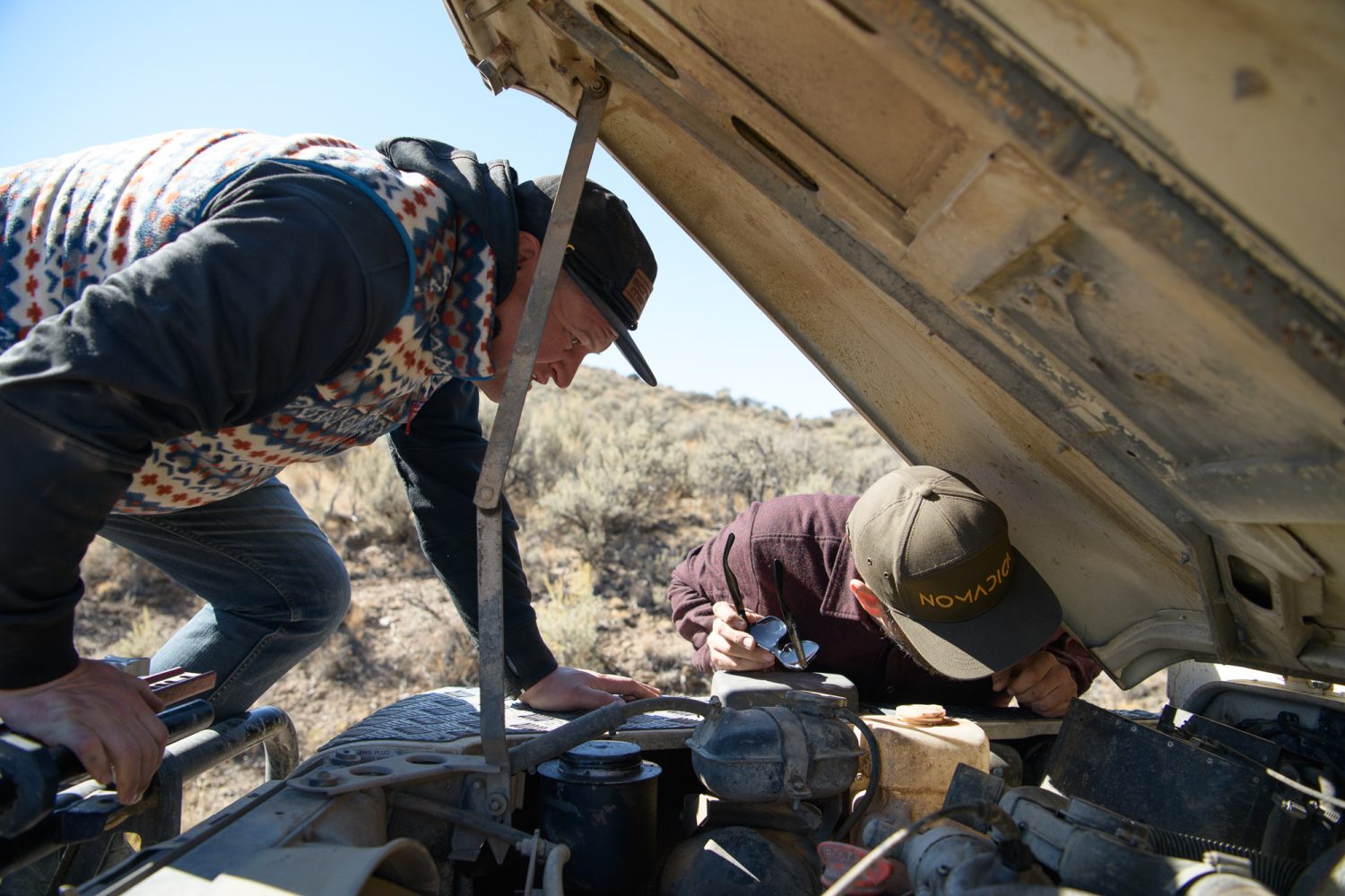
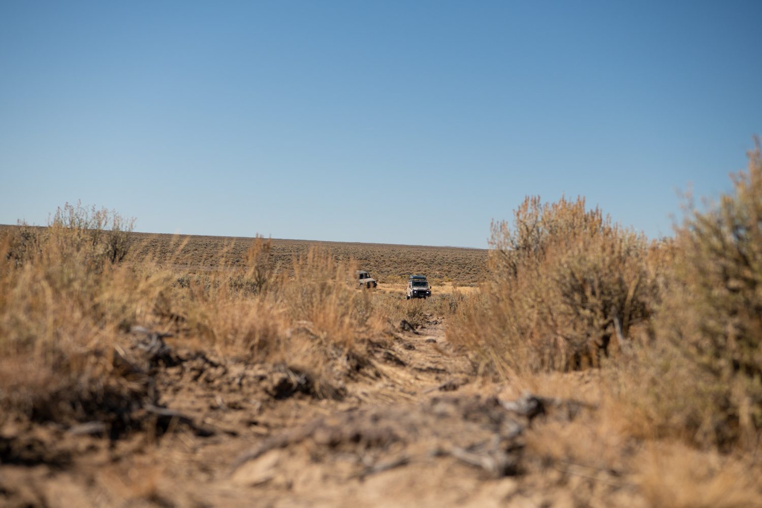
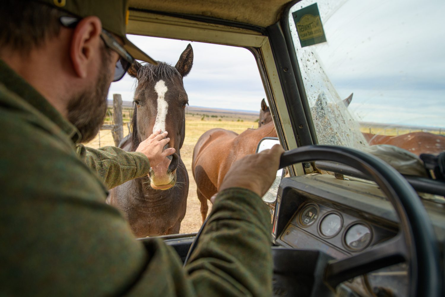
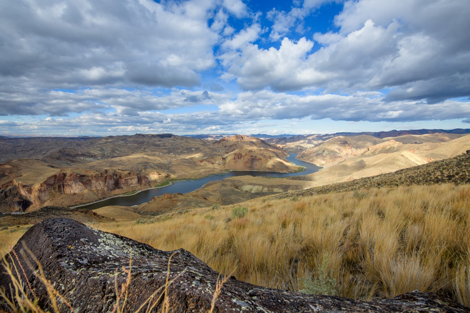
We pause at the rim for a bit to make a plan for the night and relax, knowing we’d put the biggest unknowns behind us. Covering nearly 100 miles is a pretty long day out here, and we would soon be heading back into some familiar terrain.
Slowly, there is a subtle change to our world as we climb into the heart of the canyonlands. These uplands strip moisture from passing clouds and collect more snow through the winter. The sage gives way to juniper trees, and the roads improve slightly, as do the frequency of cattle guards and gates to open and close. Streams appear, along with pronghorn antelope, deer, and the bogs and grasslands they thrive on.
These conditions also lured more settlers here. Starting around 1863, with the discovery of gold along Jordan Creek to our north, many came, but few remain. The scattered remnants of failed attempts to call this place home are frequent as we snake our way through private land. We eventually find a public parcel just after dark, making a pretty mangy camp in a soggy pasture under a dense grove of junipers.
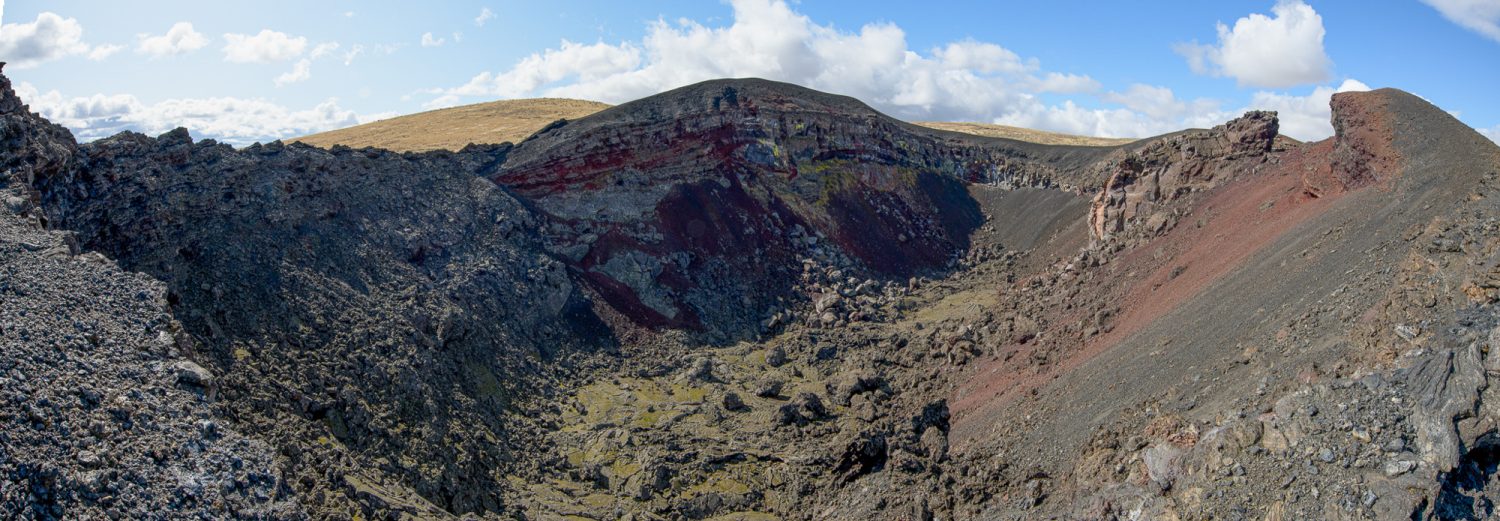
The cold of the subsequent morning accompanied us to familiar yet stunning places like Three Forks, and the ever-cool spectacle of Jordan Craters after a refuel and local appreciation stop in Jordan Valley.
The previous year, around this time on a dreary eve, we limped into Jordan Valley with a broken hydraulic clutch line on Josh’s Defender. To say we were lucky to find someone working overtime in the local garage in a town this size would be a massive understatement. Kelly, it turns out was quiet, but serious about helping us figure out a hack that would get us home.
Working with Owen and Josh for hours, the fix was made, and Kelly would only accept our thanks as payment. Fast forward to a year later, and making note last year that he had expressed curiosity in our MaxTrax, we stopped by to see if we could find him. He’d since taken a job with the DOT, but we miraculously found him working on his truck in the parking lot just as we arrived. This really is a small town. It felt so good to watch Josh hand him a pair of MaxTrax in thanks and hear, even as a long-time local, how impressed he was about the trip we’d just done.
After saying goodbye to Toby at Jordan Craters, Josh and I spent our last night at a favorite “secret” spot, perched nearly 2,000 feet above the Owyhee River on a sliver of land in the sky, surrounded by the excess of emptiness we’d come for. We were left with the vast, wild, and raw feeling of being incredibly insignificant. That, and the satisfaction of making our route go (leaving only tracks and gratitude behind us), are the gifts that will forever keep me coming back for more—more of absolutely nothing.
Read more: Destination: Sisters, Oregon
Our No Compromise Clause: We carefully screen all contributors to ensure they are independent and impartial. We never have and never will accept advertorial, and we do not allow advertising to influence our product or destination reviews.


