

Editor’s Note: This article was originally published in Overland Journal, Summer 2019.
Eastern Utah and Western Colorado encompass some of the most beloved off-pavement trails and backcountry terrain in all of North America. Moab, specifically, draws in thousands of visitors each year, stunning them with secluded escapes amidst serene landscapes, but times are changing. Thanks to increases in exposure and therefore traffic, many of the places used to escape the crowds are now inundated with them, detracting from the private experiences we seek and accelerating wear on the environment. As part of local efforts to relieve traffic and expose visitors to different sights, simultaneously increasing tourism to the towns of Nucla and Naturita, a new trail was developed from Moab, Utah, to Montrose, Colorado. A 160-mile route winds over red rock, through aspen groves, along the edges of sheer cliffs, and across rivers. The track varies from rocky two-track to perfectly graded gravel, but each mile offers something exciting and different.
GENERAL INFORMATION
Up until the late 1800s when the railroad was built, Moab had been one of the only safe places to cross the Colorado River. The valley’s low water levels and easy flow made it possible to move goods, forming a sort of natural bridge which ensured the town became a hub for trade and transit. This also made it a real must-stop destination for anyone entering or exiting Colorado’s western border. Ironically, the railroad that later bypassed Moab and nearly starved it of business was what allowed Montrose to prosper, giving it the influx of trade it desperately needed to thrive. It seems appropriate that these cities are now linked once more by this trail.

The terrain covered between Moab and Montrose is diverse but is almost entirely on the Colorado Plateau. This enormous mesa spans the Four Corners region of Arizona, Utah, Colorado, and New Mexico, and is primarily comprised of high desert with occasional pockets of forests in higher elevations. The topography includes deep ravines, slot canyons, domes, river valleys, and many other features you would expect to find in red rock country. As you travel further into Colorado, the elevation increases, and the landscape begins to change. The weathered forms of sedimentary rocks shift to rolling hills followed by the distant mountain peaks of the Uncompahgre National Forest.
Flora and fauna make a dramatic shift as well. In the more arid regions with lower elevations, desert life prevails. Birds like turkey vultures, white-throated swifts, sparrows, and hawks soar through the air, hunting prey on the ground, or foraging through the shrubs below. Various species of fish, frogs, toads, and even river otters can be found hanging around the creek and riverbanks, while mammals like deer, mice, bobcat, and mountain lions make their homes on drier ground. Then, of course, there is a seemingly limitless number of lizards, snakes, and other reptiles.

Closer to Montrose, the number of desert dwellers decreases, exchanged for animals more resistant to the cold like elk, deer, bighorn sheep, and bears. The plants change from low-lying shrubs and bushes to pine, aspen, alpine flowers, and an array of grasses and ferns. What starts as a journey through a Martianesque landscape, ends in the lush hills of Colorado’s western slope.
THE DRIVE
Like the Colorado-bound travelers 200 years ago, we begin our adventure in the heart of Moab, an outdoor enthusiast’s dreamland. Here you can paddle the river, learn to rock climb, hit the trails on a mountain bike, or explore some of the Western United States’ most iconic desert terrain by four-wheel drive. If that’s not your speed, there are plenty of restaurants and breweries in which to beat the heat.
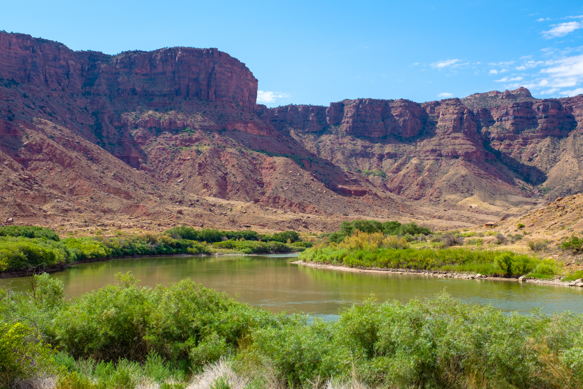
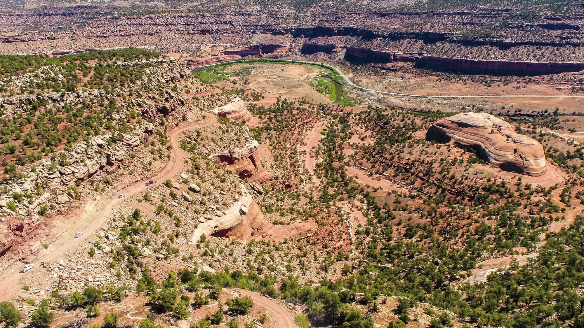
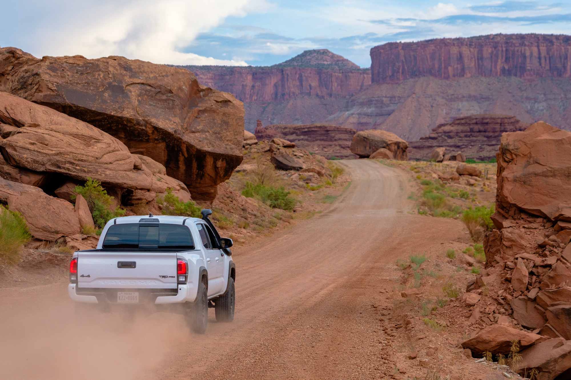
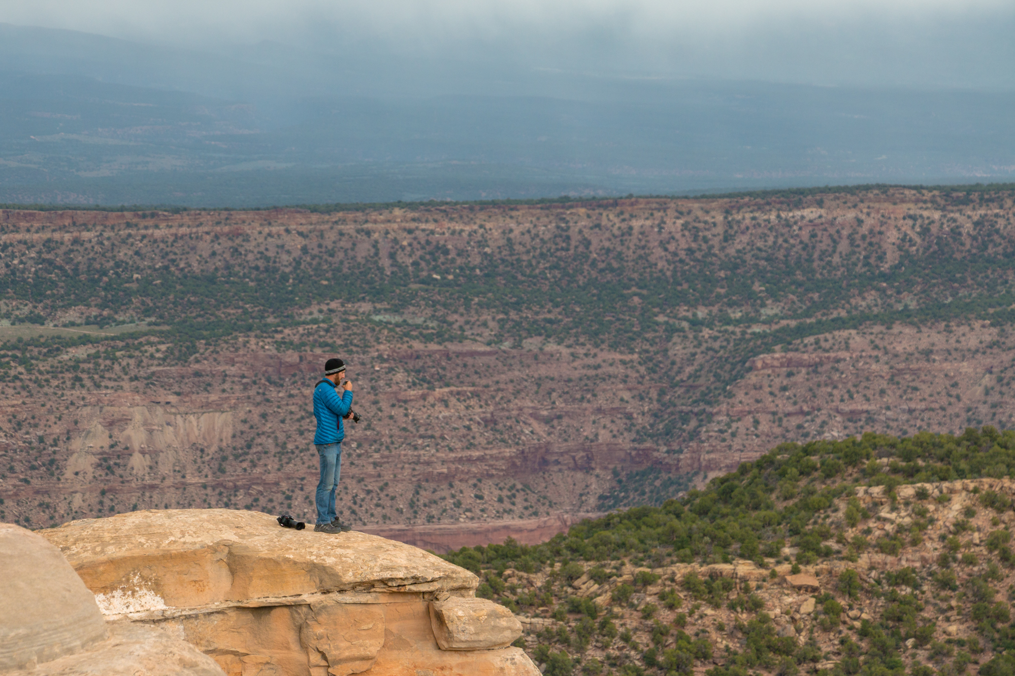
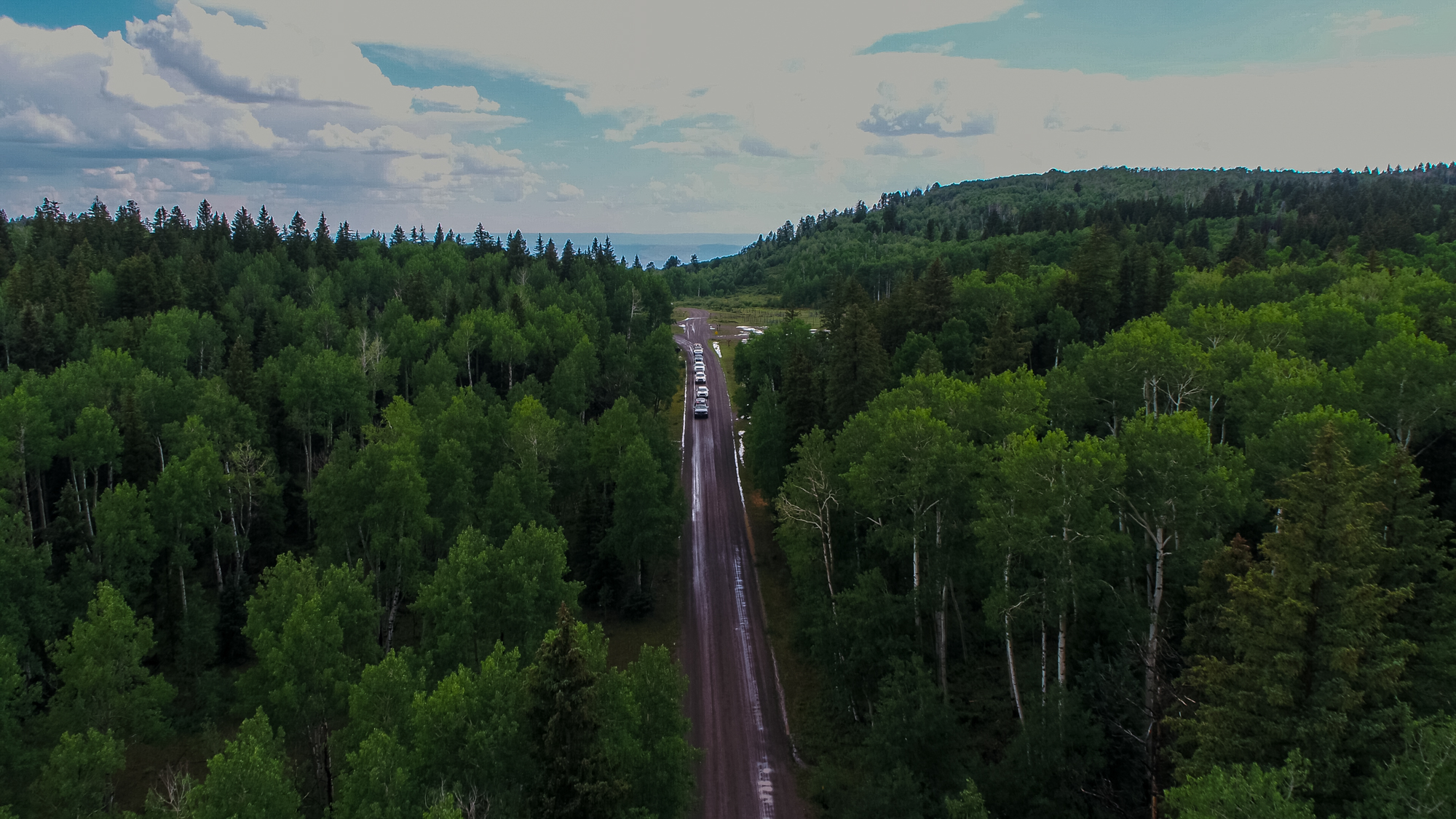
From the town of Moab, drivers will head south on US Highway 191 to Pole Canyon Road. The trail doesn’t waste any time gaining elevation from there, climbing rapidly toward the west side of the La Sal (Salt) Mountains. If you’re looking for a more challenging experience, dip off onto Forest Service Road 0128 which is rougher and far more narrow. It’s not technical per se, but the various rocky sections will force you to choose a line, and the experience of bursting through the foliage where a narrow shelf road is revealed is worth it. From there, the views are breathtaking in every direction; some of the most spectacular sights are in your rearview mirror and will be best enjoyed by pulling off the road and taking the time to gaze back at the red landscape you’re leaving behind.
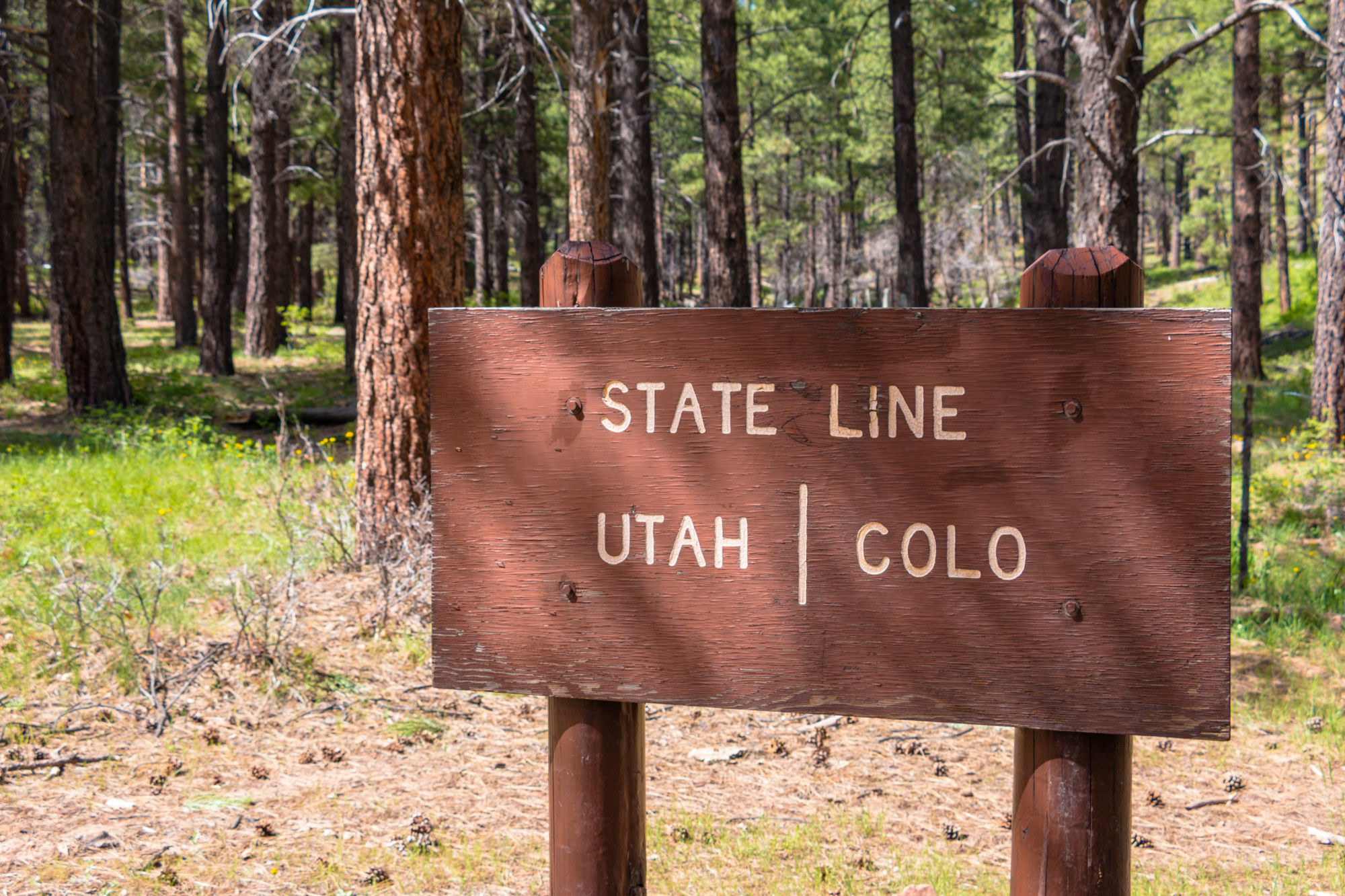
By the time you hit Geyser Pass Road, you’ll be well on your way toward the Utah–Colorado state line. The track is wellgraded here, making it easy to cruise around the bends and fly through the curves as dust trails swirl behind you. Be forewarned though, this and many other sections of the route are open grazing for cattle; an impact with one would not only ruin your truck but cost you plenty of cash in the subsequent settlement with the rancher.
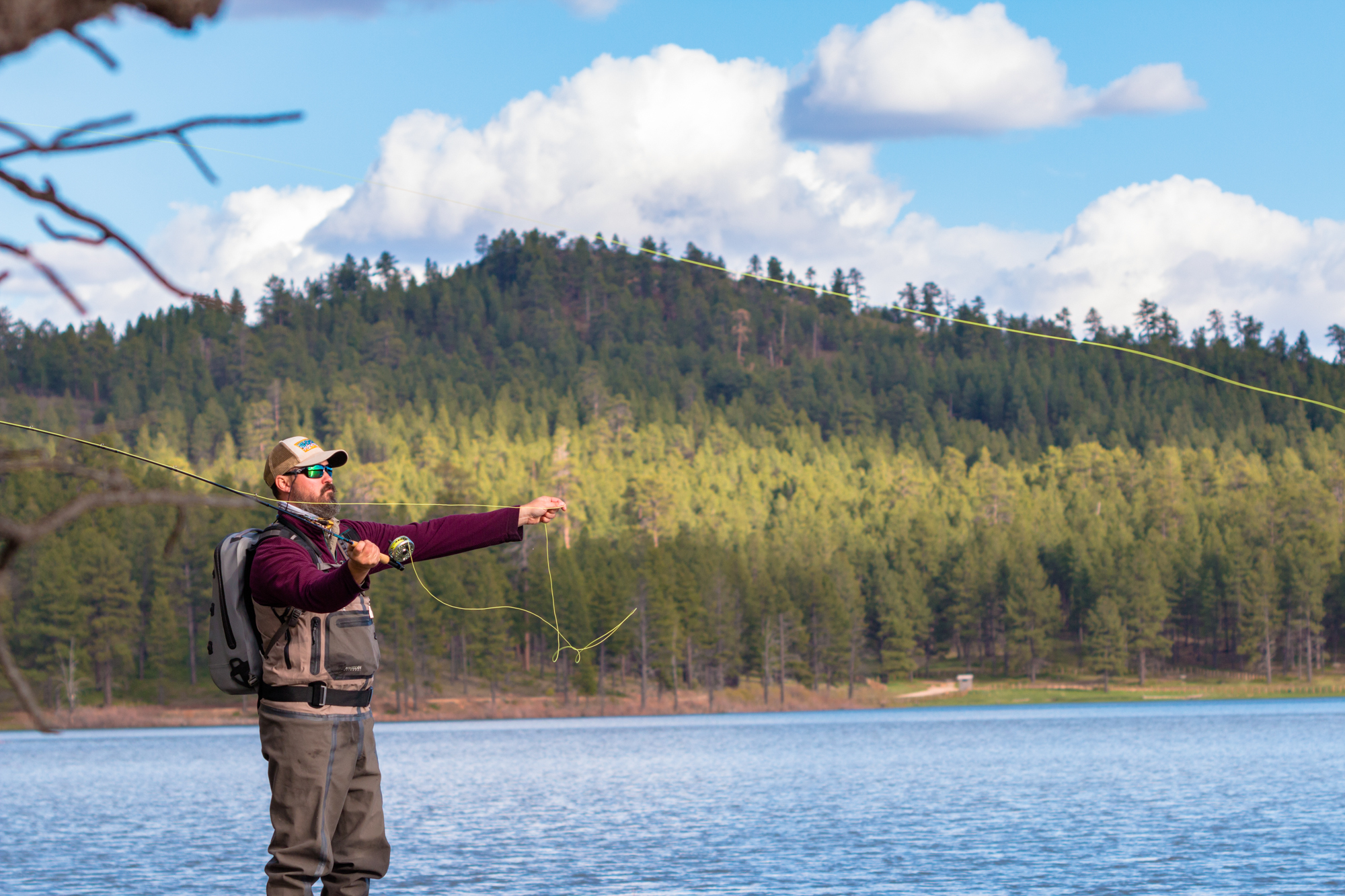
It’s only a short jaunt from the state line to Buckeye Reservoir, one of our favorite campsites of the trip. This quiet lake nestled in the valley between the mountains is an ideal place to start a campfire and enjoy an evening with friends. You could do some fly-fishing on the lake or below the dam, or string up a hammock for a nap. Just be sure to bring a coat, as Buckeye rests at 7,600 feet.

After leaving the reservoir, the road begins to drop down once more, this time along Carpenter Ridge. Far below, you’ll see Paradox Valley. Once a large dome, this lowland was formed when underground rivers dissolved thick layers of salt beneath the earth’s surface. As the layers disappeared, the dome collapsed in on itself creating a depression, which in turn collected water, becoming a fertile region for crops and wildlife. You’ll skirt the edge of this great escarpment for some time until eventually crossing onto Carpenter Flats. While this section is mostly dirt roads flanked by juniper and sage, the trail soon drops down a series of steep switchbacks into the Dolores River Valley.
Here you’ll reach the intersection of State Highway 141, where it’s only a short distance on pavement before climbing another set of switchbacks up the sandstone valley walls. If conditions are dry, this portion of the trail is a snap. If raining or snowing, the surface will turn to sludge, and the creek crossings will flood, making any traverse difficult.
With the valley behind you, the town of Uravan will appear on the horizon. Or it would have, had most of it not been bulldozed by the government back in the 1980s. You see, Uravan was named after the uranium and vanadium that were mined there. After the Cold War, when nuclear tensions began to cool, the area fell into disuse and was eventually declared a Superfund site. We decided to keep our distance, but for those wanting a closer look, there are still roads leading to the town’s remains.
The next major stop is Nucla, a town comprised of roughly 700 people. While you won’t find major chain stores and restaurants here, you can purchase food, water, and fuel for your trucks at the local station and market. There is also a visitor’s center, carwash, and motel just a few miles away in Naturita.
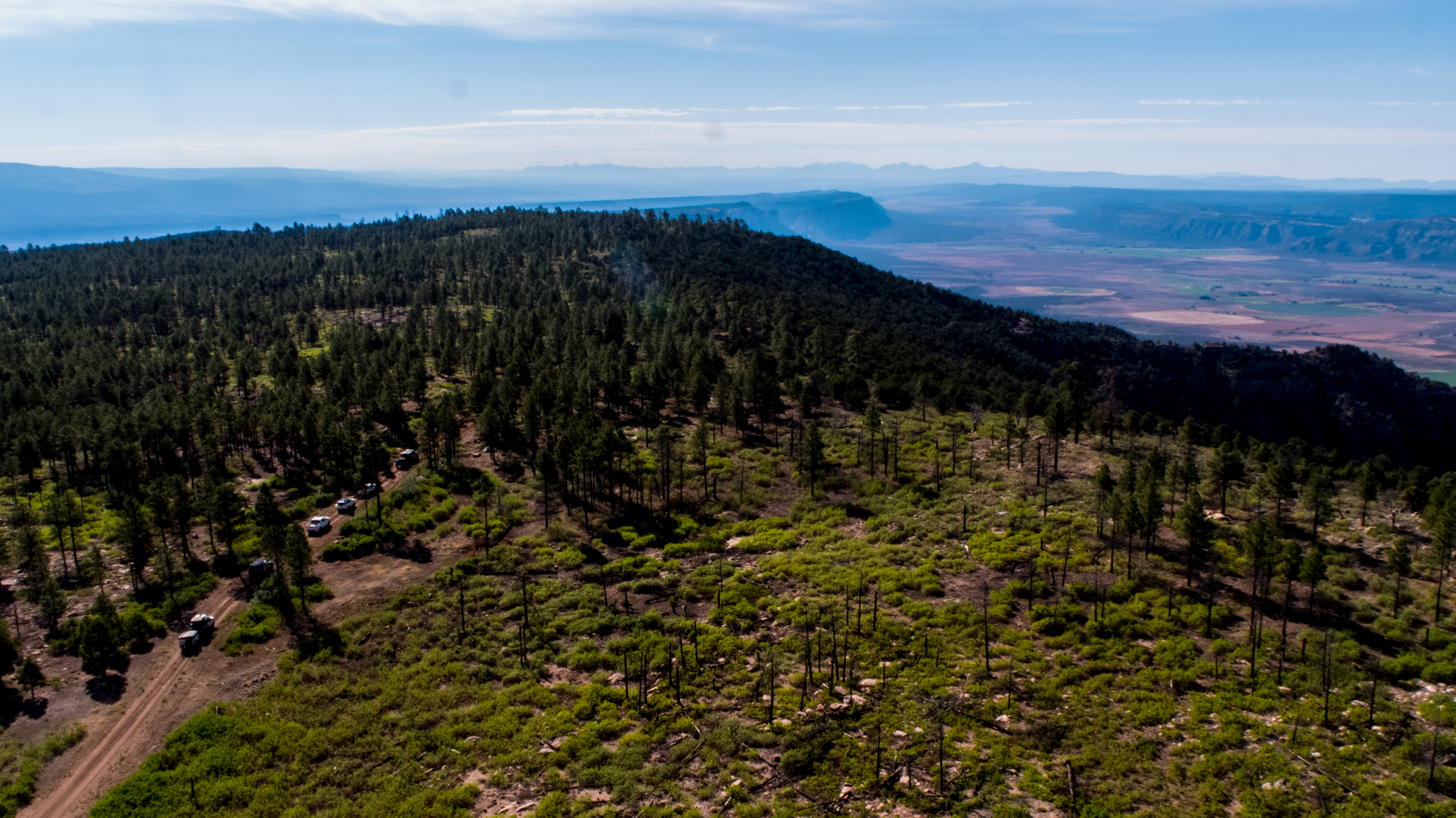
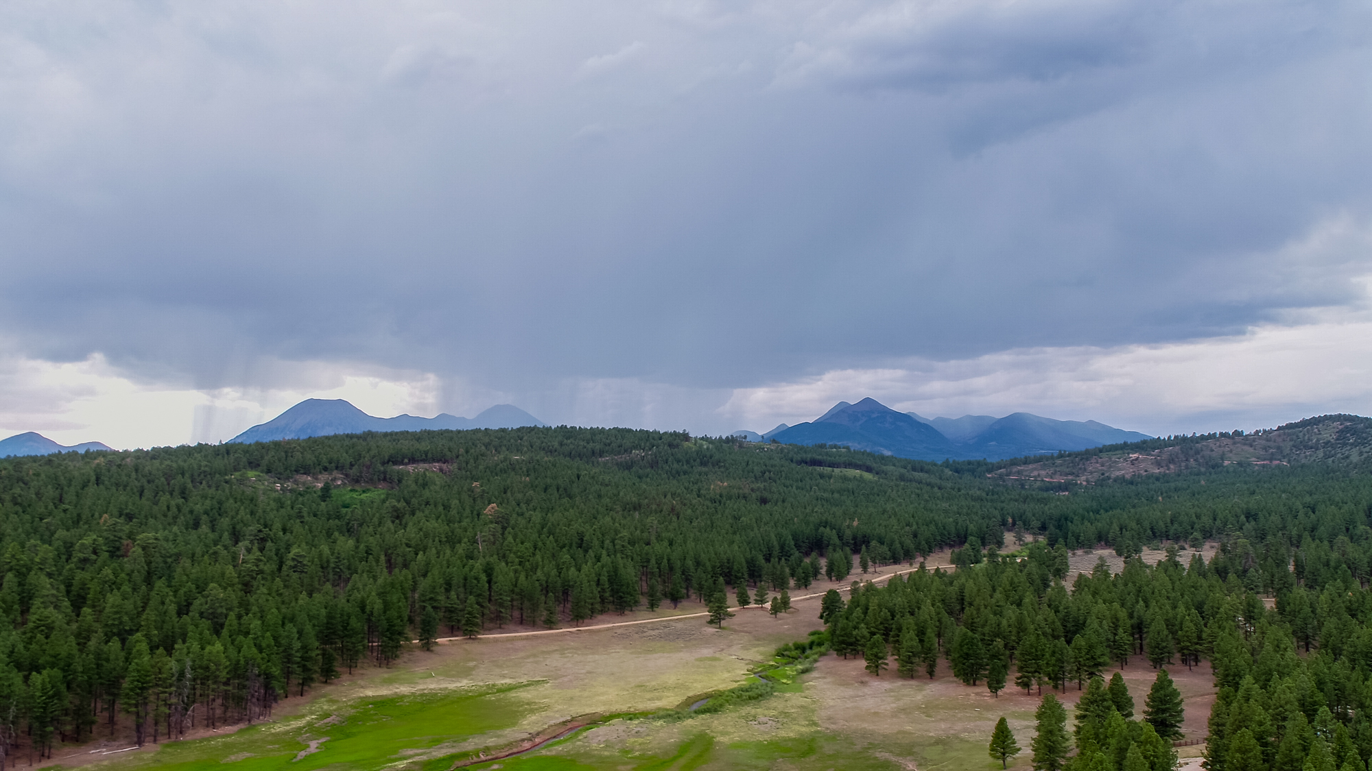
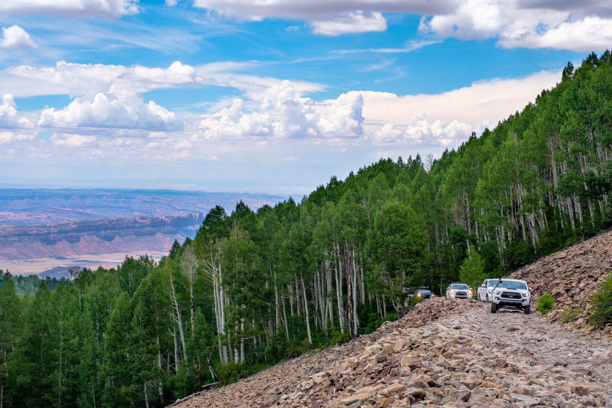
Once you leave Nucla, the remaining drive is smooth and fast, but no less beautiful. Forest Road 402 makes a slow climb up into the mountains with long sweeping turns onto the Uncompahgre Plateau. This is the high point of the trip, literally. Here you’ll reach the maximum elevation of 9,840 feet, where the surroundings begin to truly feel like Colorado. Elk roam through the woods, and when we passed through, a cool mist hung in the air. The road is flanked by the white trunks and fluttering leaves of aspen trees, which are enchanting as they slip by the windows of your vehicle. If this area draws you in as it did us, there are plenty of campsites around. If not, then you can continue into the wide open plains of the plateau toward the distant peaks of the Rockies, the town of Montrose, and the end of the Rim Rocker Trail.


ACCESS
WEST ENTRANCE from Moab: From the Maverik fuel station at 38°33′31.0″N 109°32′36.6″W, head south on US Highway 191 for 1.3 miles, then turn left onto South Mill Creek Drive. After 0.4 miles, turn right onto Spanish Valley Drive and continue on route.
EAST ENTRANCE from Montrose: From Ace Hardware at 38°28′41.0″N 107°52′39.1″W, head west on State Highway 90, which turns into 90 Road. Follow it through the repeated 90-degree turns for 24 miles until you reach the staging area, then continue on route.
LOGISTICS
TOTAL MILES 160
SUGGESTED TIME 2-5 days
LONGEST DISTANCE WITHOUT FUEL 106 miles
FUEL SOURCES
MOAB, UTAH 38°33′31.0″N 109°32′36.6″W
NUCLA, COLORADO 38°15′42.2″N 108°32′43.0″W
MONTROSE, COLORADO 38°28′38.7″N 107°52′36.4″W
DIFFICULTY
The majority of this route is well maintained with only a few optional sections of rougher ground. We rate this entire route as easy due to the mild nature of the road. However, weather and the remote nature of parts of the trail can come into play. Do not attempt during winter conditions or without proper maps and downloaded trail information.
WHEN TO GO
This trail is best completed in late summer and early fall after the snows have melted and things have cooled off but before it begins to snow again. Midsummer can also work but may be extremely hot in the Moab and desert regions, and mosquitoes are often troublesome in the mountains. Winter travel is not possible in most places.
PERMITS AND FEES
No trail permits are required for this track. Some campgrounds require fees, and fishing licenses should be purchased before going into the backcountry.
SUGGESTED CAMPSITES
BUCKEYE RESERVOIR
Accommodates large groups Flat parking, scenic views, vault toilets, picnic tables, fishing, hiking trails 38°26′26.6″N, 109°02′34.9″W
COLUMBINE CAMPGROUND
Accommodates large groups Flat parking, vault toilets, picnic tables 38°25′28.7″N 108°22′49.6″W
CONTACTS
RIM ROCKER TRAIL INFO, MONTROSE COUNTY rimrockertrail.org
GRAND COUNTY SHERIFF’S DEPARTMENT grandcountyutah.net
MONTROSE COUNTY SHERIFF’S DEPARTMENT montrosecountysheriffsoffice. com
MOAB REGIONAL HOSPITAL mrhmoab.org
MONTROSE MEMORIAL HOSPITAL montrosehospital.com
RESOURCES
Official trail maps, information, and GPX files are available for this route on the Rim Rocker website at rimrockertrail.org. We recommend downloading the GPX file with offline maps, along with bringing paper copies as backups. For those looking to explore surrounding trails, the DeLorme Atlas and Gazetteer paper maps are excellent additions to the trip. As always, our team’s GPS track and points of interest can be found on our website at overlandjournal.com/overland-routes.