

Photography by Richard Giordano and Dave Newton
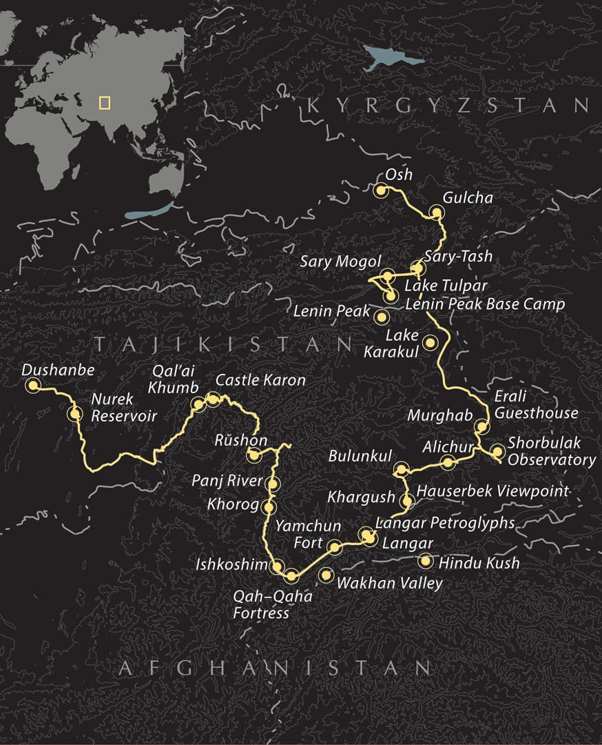
The Pamir Highway is renowned as one of the world’s greatest road journeys, offering rough, challenging routes through a harsh environment, with breathtaking high-elevation lakes, rugged mountains, and small but mighty communities sprinkled along the way. Connecting the Tajik capital of Dushanbe with the city of Osh in southern Kyrgyzstan, the Pamir Highway spans a minimum of 1,250 kilometers and passes through the remote Gorno–Badakhshan Autonomous Oblast (GBAO) region in eastern Tajikistan.
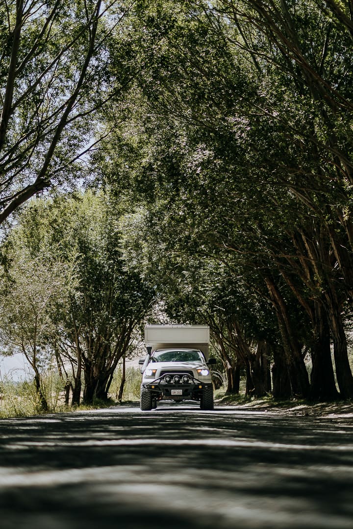
Referring to the Pamir Highway, most overland travelers mean either the M41, which is the “official” route, or one of a collection of routes connecting parts of the M41 with Dushanbe, such as via the Wakhan, Shakhdara, and Bartang Valleys. This OV Route detours through the Wakhan Valley, where the road hugs the mighty Panj River, which establishes the Afghan border for hundreds of kilometers from Qal’ai Khumb to Ishkoshim. Eastbound travelers gain elevation as they exit the valley from Khargush, returning to the M41 and continuing to Osh with a few side quests along the way. Near the Tajik–Kyrgyz border, Ak–Baital Pass (15,272 feet), qualifies the M41 as the second-highest “paved” highway in the world.
General Information
Historical accounts point to the Pamir region as a crossroads of trade routes, including the ancient and medieval Silk Road, with Marco Polo purportedly passing through the Pamirs in the 13th century, and Alexander the Great crossing the Amu Darya (formerly the Oxus River) in 329 BCE. By the 19th century, Tajik territory had become important to the Russians and British during the Great Game, when the two powers fought for influence, control, and expansion of their empires.
The Soviets, hoping to integrate the border region into the larger framework of the Union under Joseph Stalin, built the Pamir Highway between 1934 and 1940, a colossal undertaking promising a regular supply route, connectivity, and modernization, enabling the first motorized vehicle access in the region. After the collapse of the USSR, the resulting lack of maintenance has led to infrastructure decay, including deep potholes, uneven sections of broken asphalt, corrugated rocky sections, and more.
Don’t be too put off by tales of hardcore 4WD sections threatened by potential and seasonal landslides. As China’s interest in the region increases, fresh pavement is laid daily, and folks have tackled the route with everything from bicycles to 2WD cars. Hot springs, pilgrimage sites, and Soviet relics urge visitors to stop and linger. If you do, you’ll hear Tajik, Uzbek, Russian, Kyrgyz, and Pamiri languages spoken by the local people who welcome visitors wholeheartedly—especially the kiddos, who are eager to practice English outside the classroom.
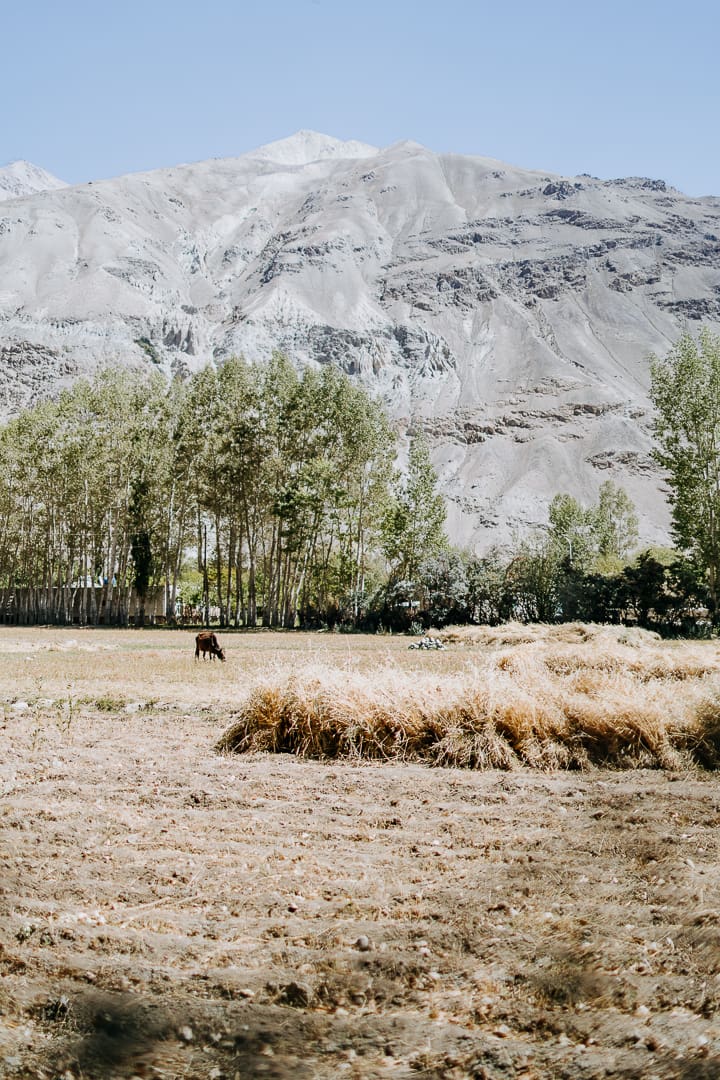
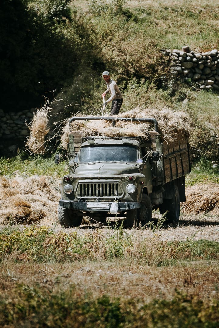
Across the Panj, Afghanis navigate narrow shelf roads on whirring motos, while on the Tajik side, BMW cars, Lada Nivas, and the ubiquitous 100- and 200-Series Land Cruisers and their Lexus equivalents zip by, leaving you in the dust. Continuing through the Wakhan Valley, waving groups of kids clad in green, red, and white school uniforms walk tree-lined roads. In early September, harvest season draws families to the fields, wielding scythes and bucket hats to protect against the sun. If they beckon you to join their mid-day picnics, it is wise to do so.
Despite the route’s heart-wrenching beauty, altitude sickness and food poisoning persist, permits require time and organization, and inclement weather can close sections of the road. Due to the Pamir Highway’s ever-changing nature, by the time this article goes to print, something will be out of date. Perhaps the Afghanistan bridge market in Ishkoshim will reopen to tourists again—it’s anybody’s guess. The challenges of the route are outweighed by the experience.
The Drive
Dushanbe to Qal’ai Khumb (355 Kilometers)
Although this route can be driven in both directions, we will travel west to east for the purposes of this article. Finalize any paperwork in Dushanbe and stock up on Tajik somanis, groceries, water, and diesel or petrol. The city (pop. 1.23 million) blends Soviet neoclassical architecture with new high-rise buildings, and from here the smooth A385 brings visitors past the Nurek Reservoir, the second-tallest dam in the world.
Eventually, you’ll reach the Panj River and, surrounded by mountains, travel the cliffside road leading to Qal’ai Khumb. Stop by Castle Karon—once a major Silk Road settlement—and the Saturday morning cross-border market in Ruzvat if it’s open. Get used to camo-clad Tajik officers patrolling on foot. Due to the proximity to the Afghanistan border, you’ll stop at roughly 10 routine military checkpoints between here and Ak–Baital Pass. It is forbidden to camp near the Panj River.
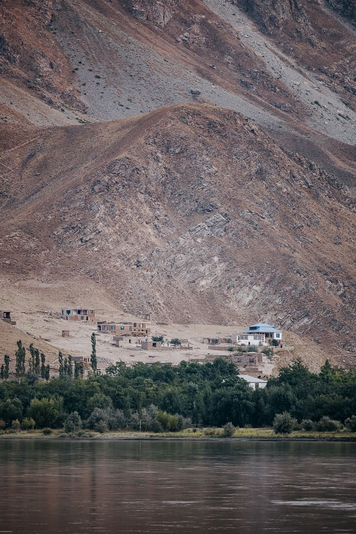
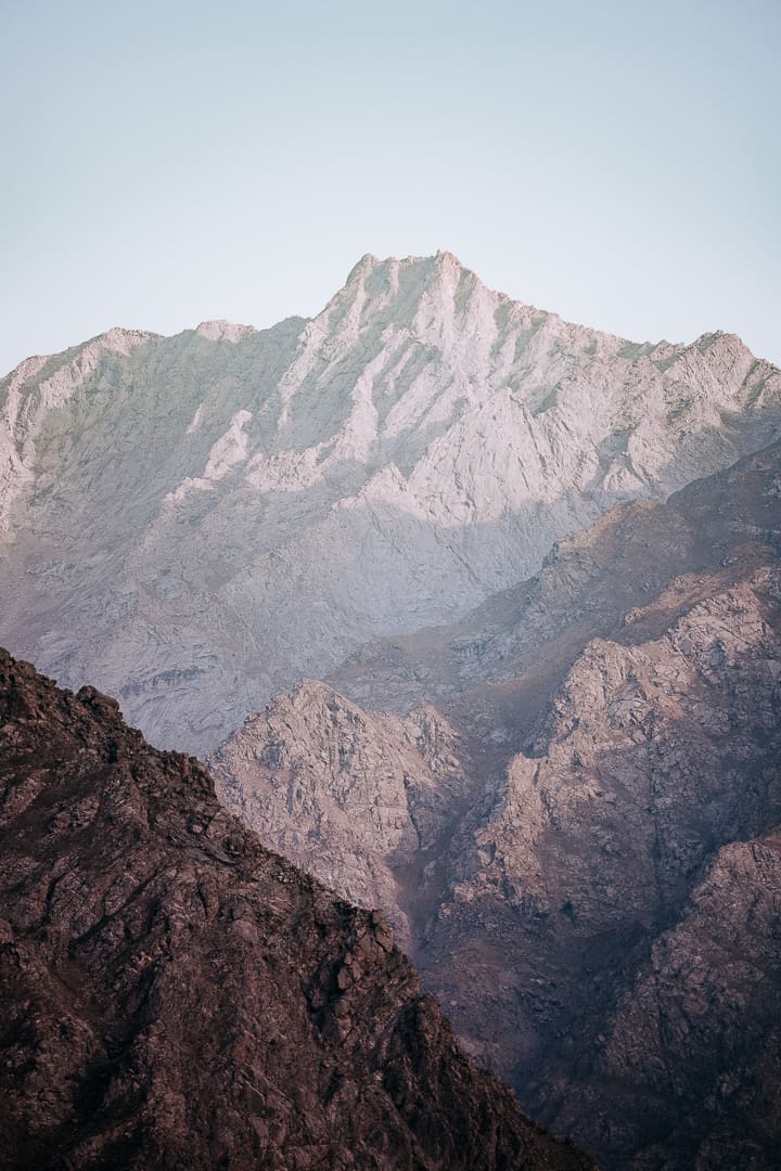
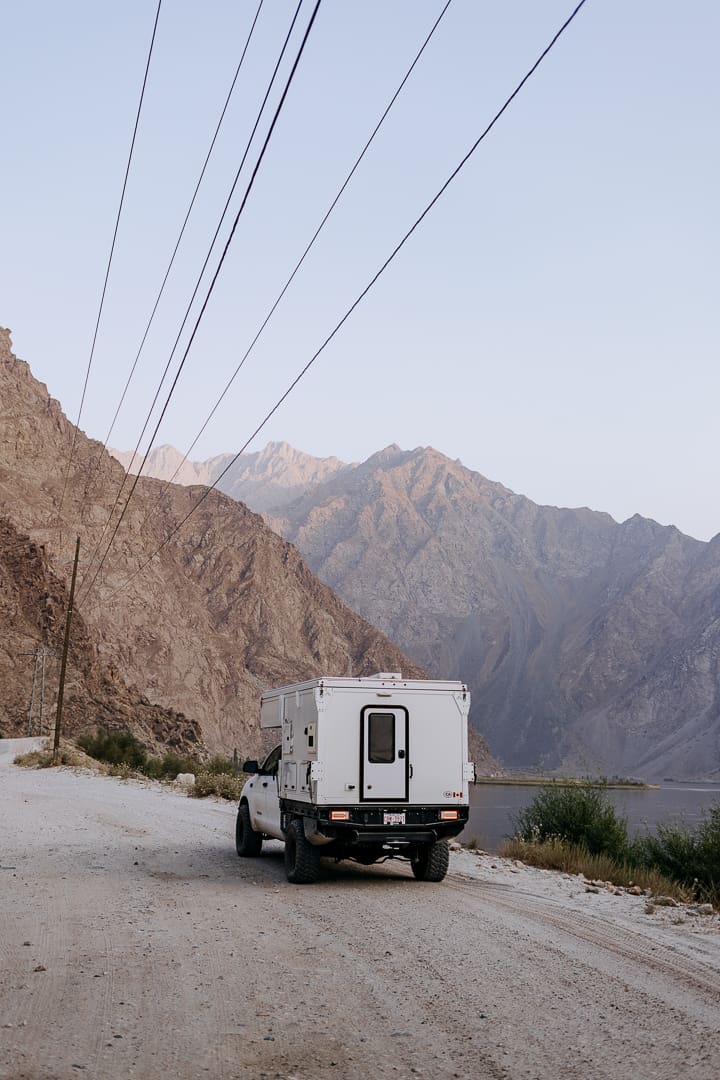
Qal’ai Khumb to Khorog with a Bartang Valley Side Quest (283 Kilometers)
Due to long-term road building and construction between Qal’ai Khumb and Rushon, smooth pavement is now a thing of the past, and the least enjoyable section of this route begins. Stone blasting, queues of vehicles, bustling heavy machinery, dust, and a lineup of transport trucks mean the going is tedious. Sections of the road are closed to vehicle traffic each day; check iOverlander for official opening hours and updates.
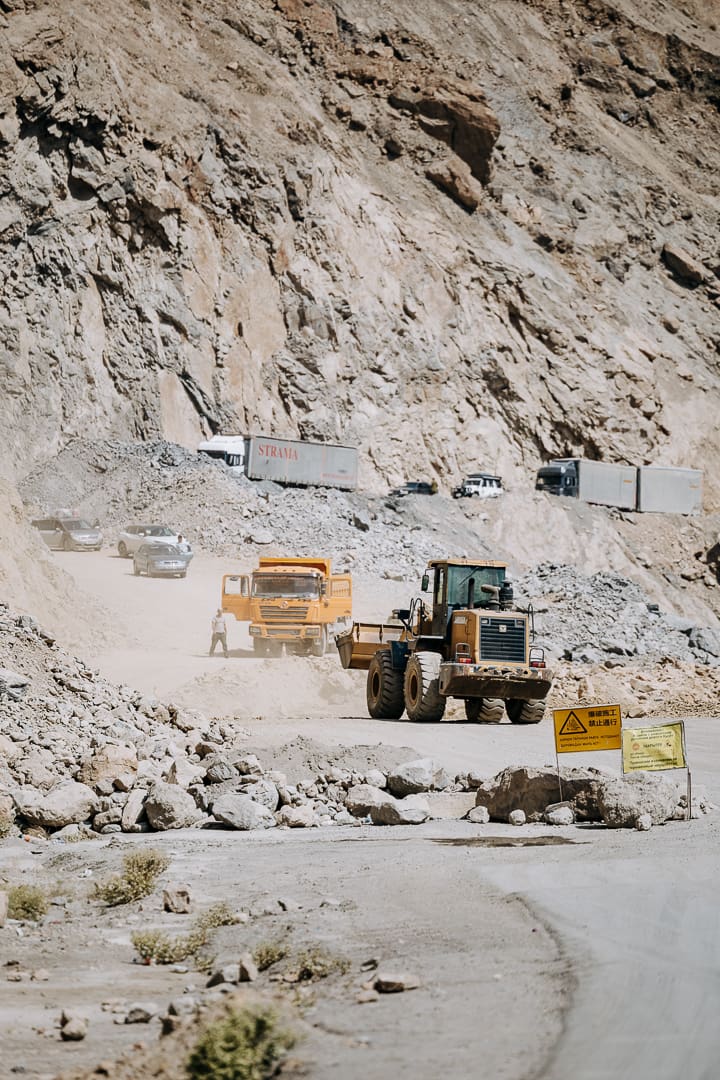
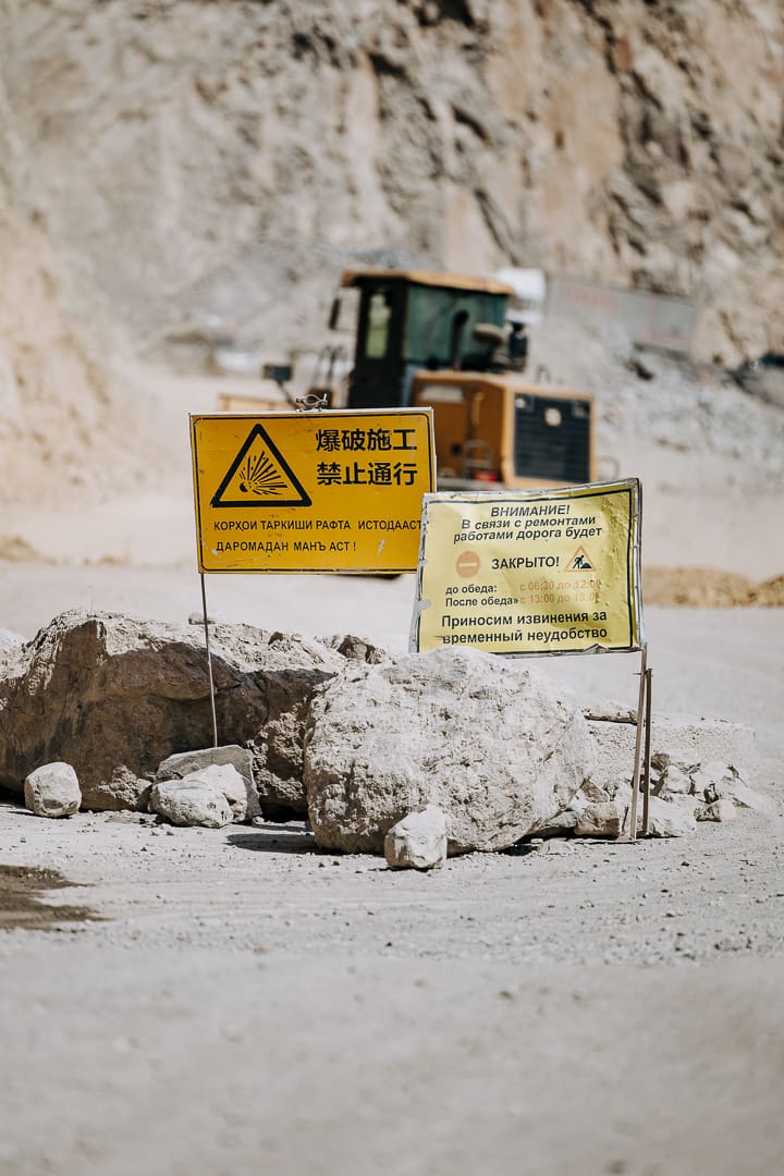
At Rushon (177 kilometers from Qal’ai Khumb), continue another 5 kilometers to the Bartang Valley turnoff. Here, you will detour from the Pamir Highway along 16 kilometers of pavement surrounded by pretty villages, orchards, and streams.
While this route does not include a complete detour through the Bartang Valley, it’s easy enough to take a side trip into the Jizeu Valley. The road is decent, with one rocky shelf road just wide enough for a 2008 Toyota Tundra. Accessible only by foot via a long suspension bridge, Jizeu is a peaceful village community with vibrant blue lakes, a dozen or so homesteads, and guesthouses for visitors to spend the night. It is a 15-kilometer hike from the Jizeu Bridge to the first of two villages, with an elevation gain of 780 meters.
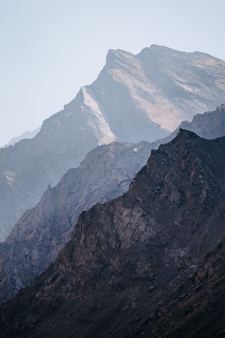
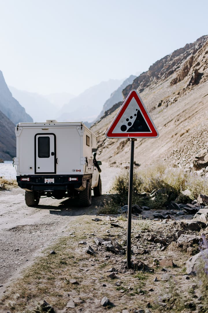
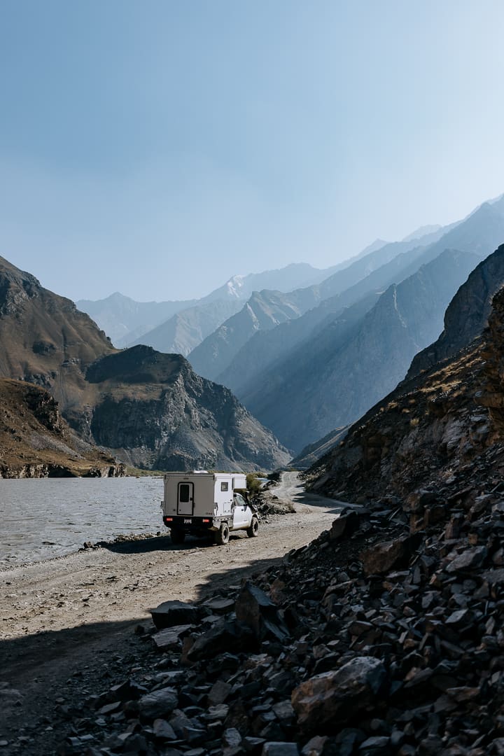
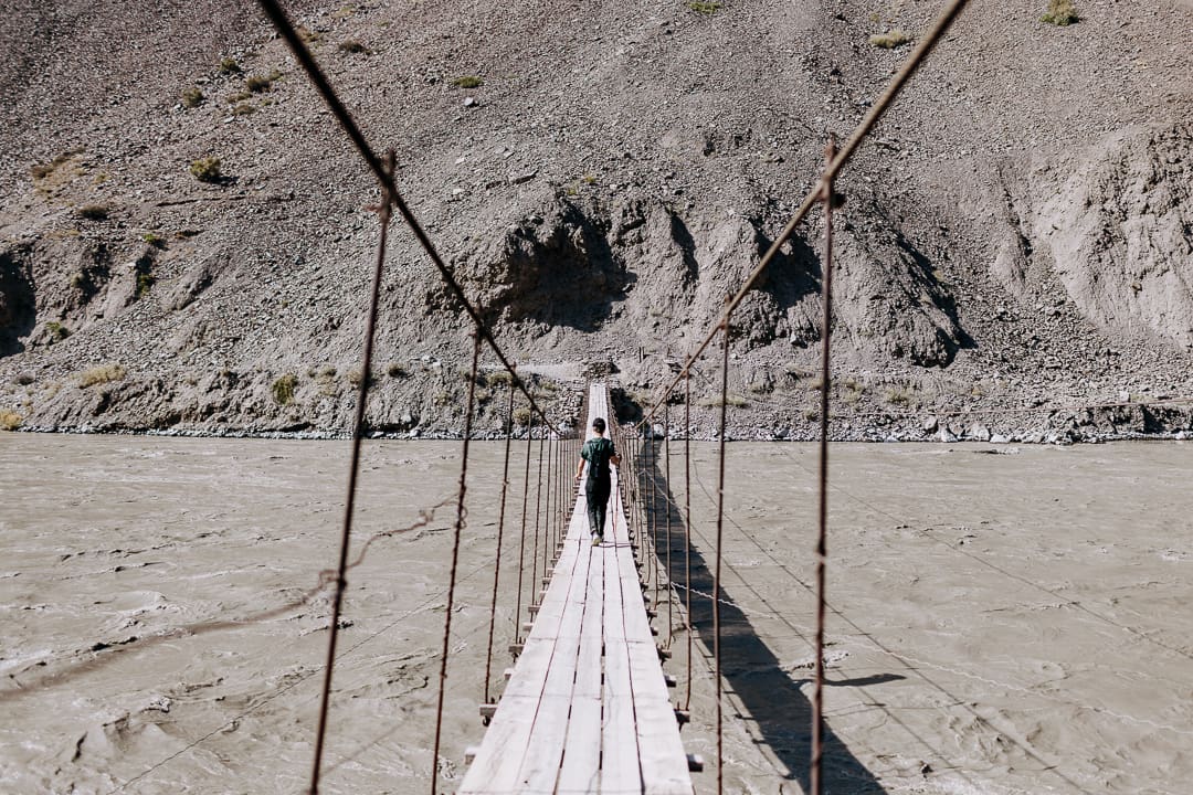
Back at the Bartang Valley turnoff, it is another 64 kilometers to Khorog, the economic and cultural center of the GBAO region. Refill the pantry, fill up on fuel, and complete any vehicle repairs here. From Khorog, most overlanders piloting large expedition-size trucks skip the Wakhan Valley because of a couple of narrow or tight switchback sections, continuing to Alichur along the M41 instead.
Khorog to Langar (217 Kilometers)
While Tajikistan is 93% mountainous (and home to 11 peaks over 19,000 feet), the Ishkoshim district offers a glimpse of the soaring Hindu Kush. This section brings visitors through numerous villages, eventually arriving in Ishkoshim, the largest settlement in the Wakhan Valley, where 26,000 inhabitants go about their daily lives.
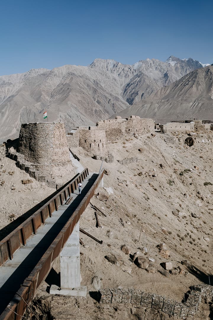
The Saturday-morning cross-border market has been closed to tourists since 2023; check for updates in case the situation has changed. From Ishkoshim, the road quietens down significantly as transport trucks opt for the main Pamir Highway route from Khorog. This section of the Wakhan features a wealth of archaeological sites, including castles, petroglyphs, and holy places, such as the mostly 12th-century Yamchun Fort and the 7th-century Qah–Qaha Fortress. Other worthwhile stops include the Engels Peak Meadow and Hauserbek Viewpoint hikes and a dip in the Bibi Fatima Zahra hot springs.
Langar to Murghab (226 Kilometers), Plus Two Optional Side Quests (109 Kilometers)
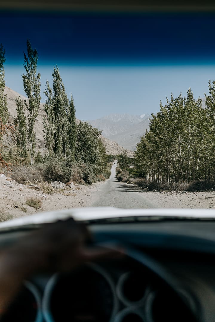
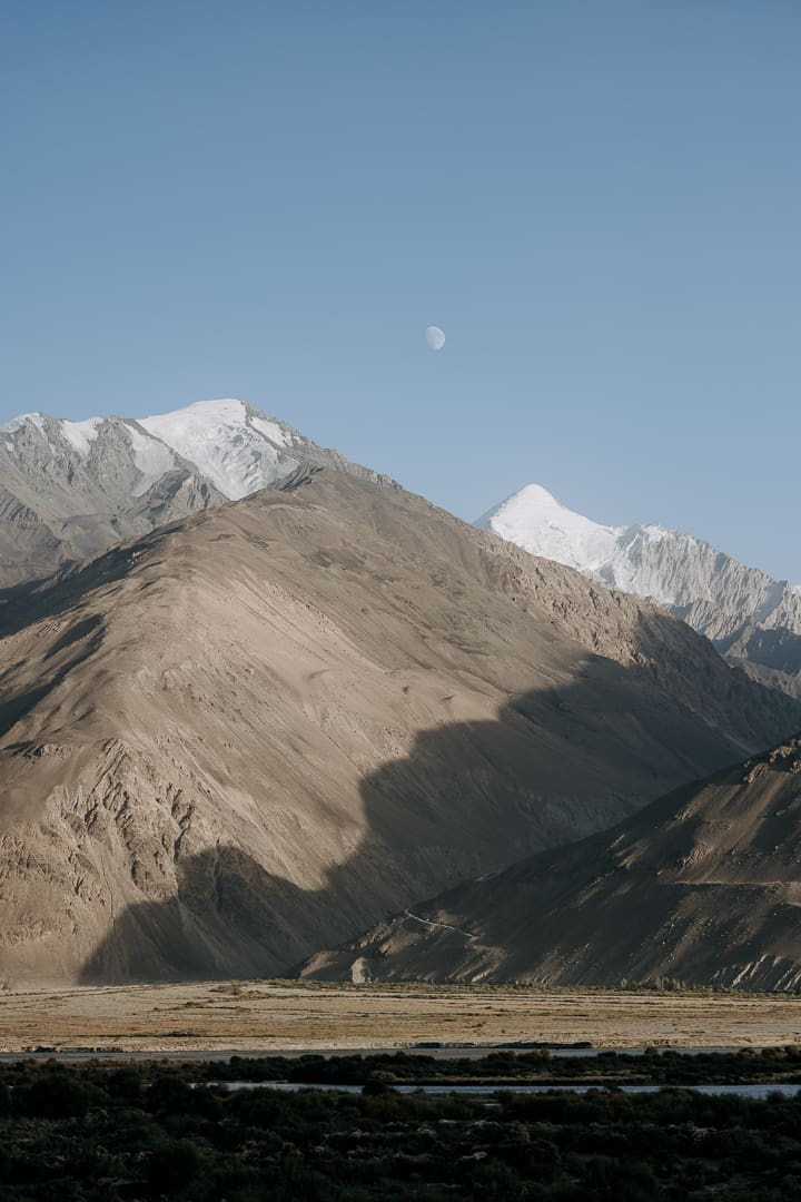
After the small village of Langar, known for its petroglyphs, the gravel track begins to climb via a series of switchbacks, offering spectacular mountain views and glimpses of roadside shrines topped with goat or Marco Polo sheep horns. As you head farther from the Panj River, wild camping is tolerated by the Tajik military—good thing, too, as the scenery is stupendous.
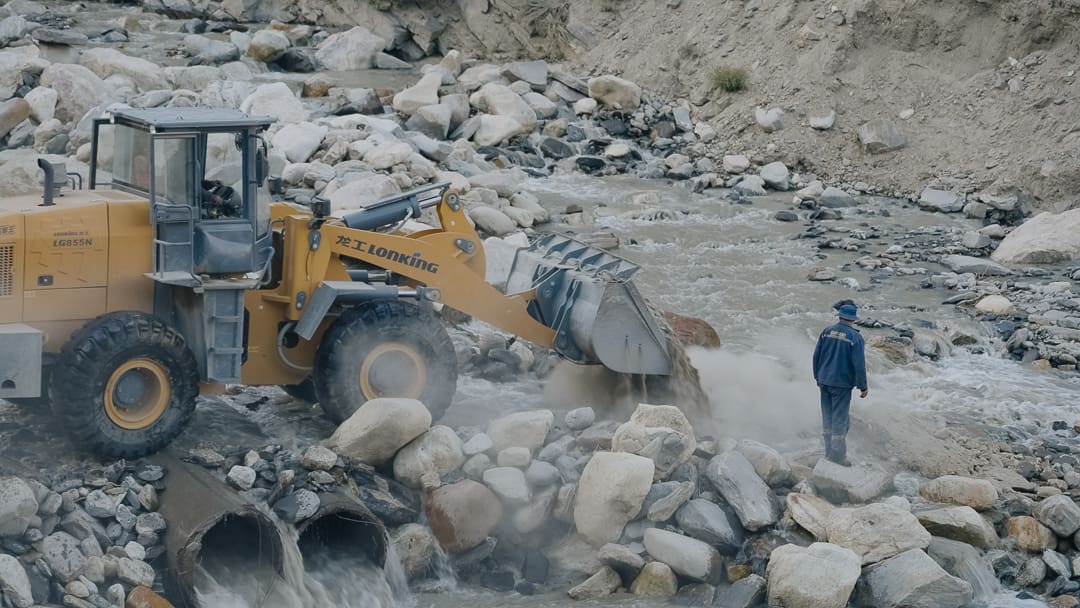
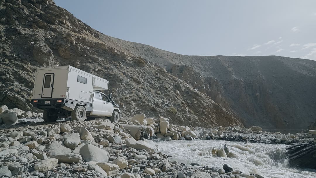
There is a boulder-strewn water crossing to tackle at 37°10′21.14″ N, 72°44′13.85″ E. If possible, go in the morning when water levels are lower. In early September, the crossing was maintained every three days by an excavator.
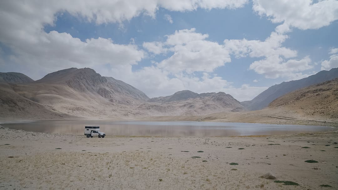
On the way to Khargush Pass, bone-rattling corrugations lead to Chukurkul Lake, where tiny succulents fight to survive despite the hyper-arid climate at 3,949 meters. It is a desolate, yet beautiful, place to camp.
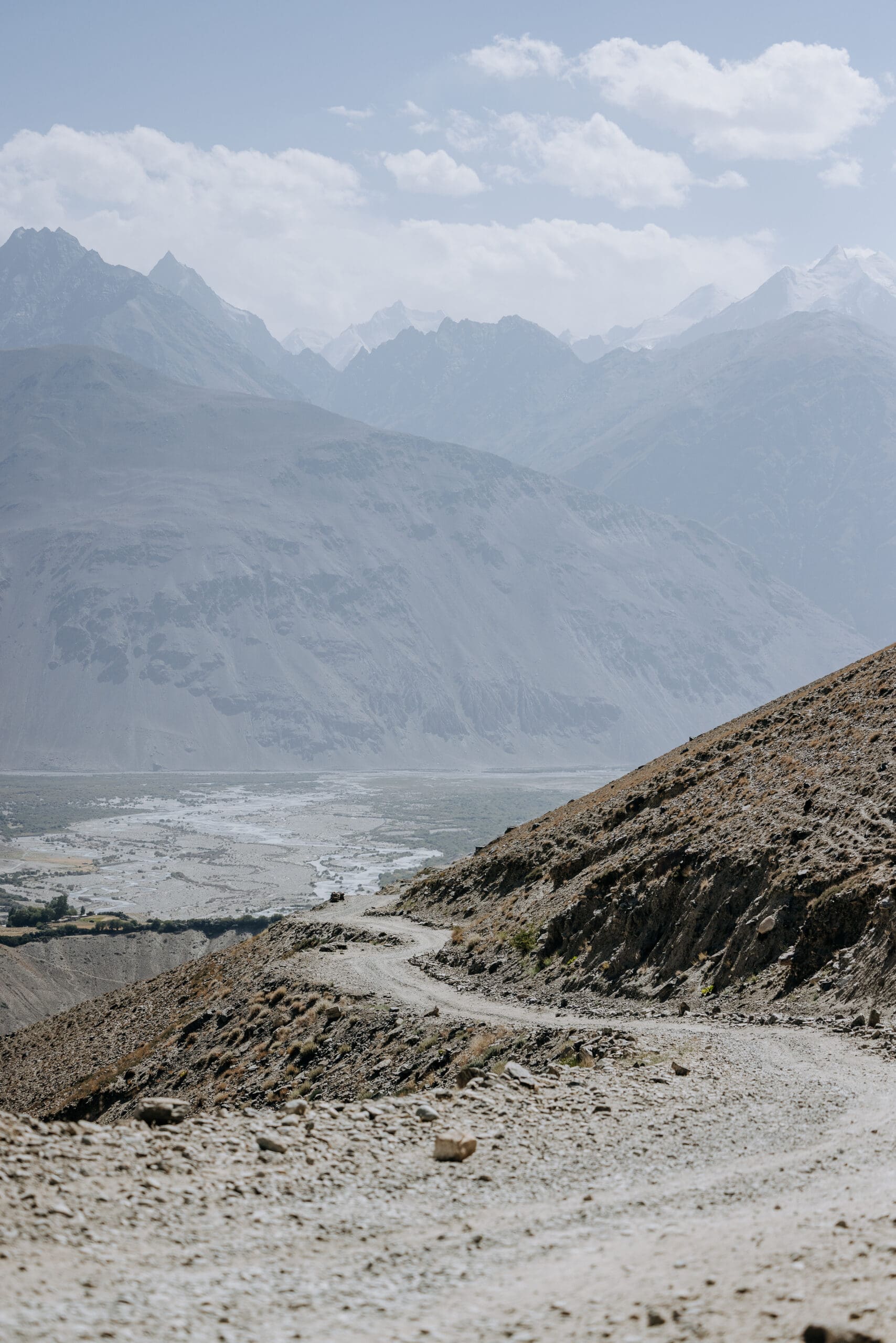
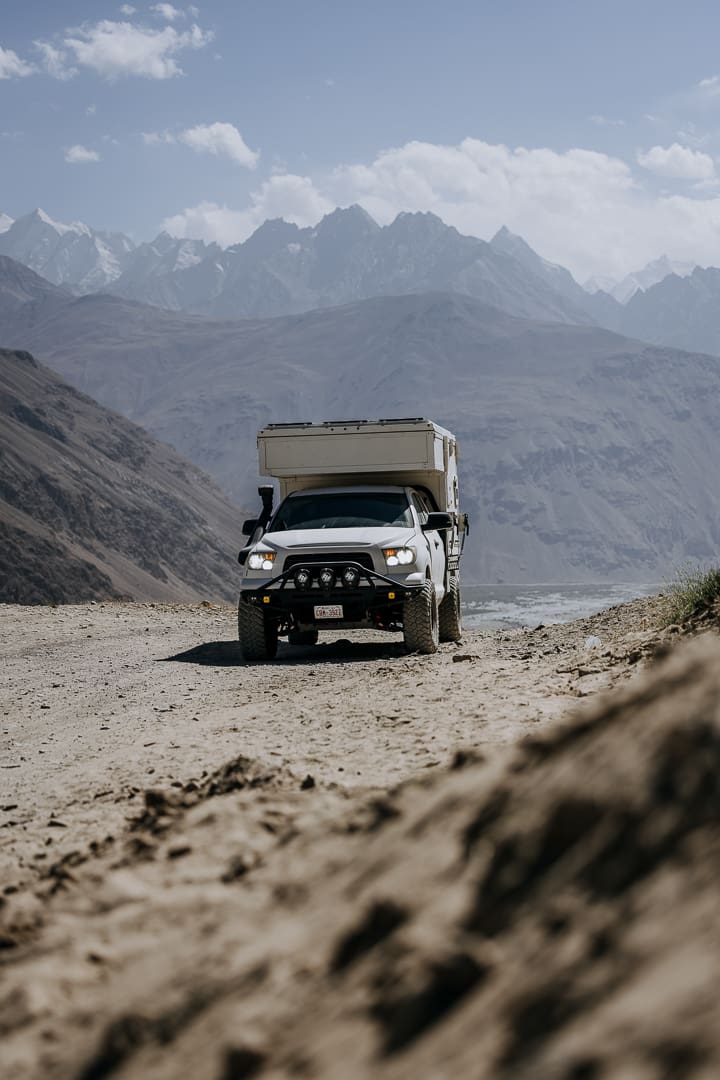
Corrugations continue as the track meets up with the M41. From here, there are two detours available. The first is a 60-kilometer loop past the small village of Bulunkul, where you can find provisions, including fresh tomatoes, cucumbers, and grapes (seasonally), as well as additional drinks and dry goods. The two-track along this route is variable—some rocky and slow, some nice and flat. There is a picturesque yurt camp located on the shore of the Gunt River; if you have time, stop by, and the friendly owner will fill the indoor concrete bath with piping hot water from the local spring, a welcome indulgence as the temperatures continue to drop with the elevation gain.
Completing the loop, you’ll head back onto the M41 past Alichur, turning right at 37°58′31.13″ N, 73°57′25.39″ E to begin the second optional 50-kilometer detour towards the defunct Shorbulack Observatory (think abandoned ghost town) and the Shakty Petroglyphs. Venture a bit further into the DarvaTash Basin, where stunning wild camp options abound in desolate lunar landscapes—it’s the stuff of dreams.
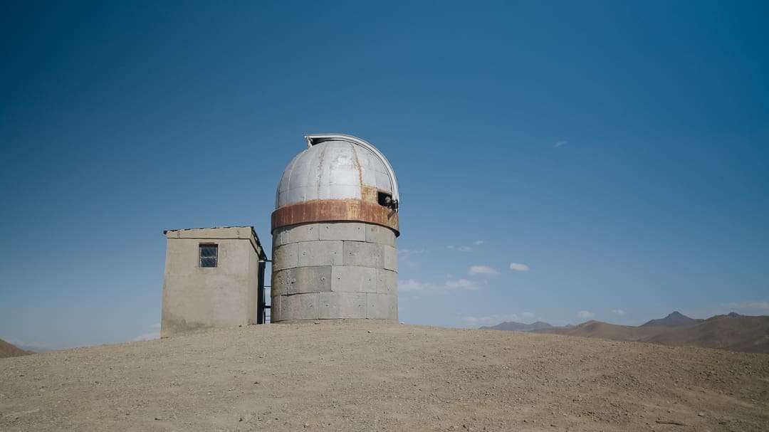
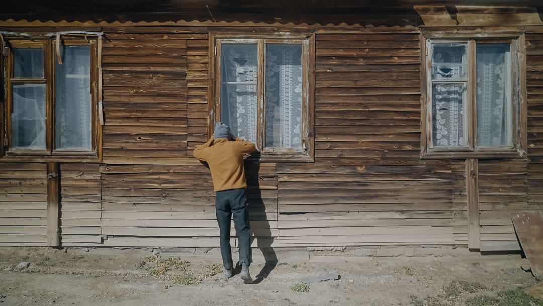
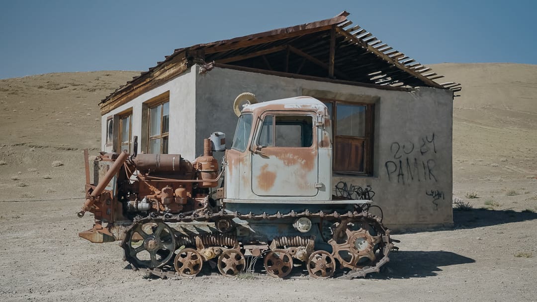
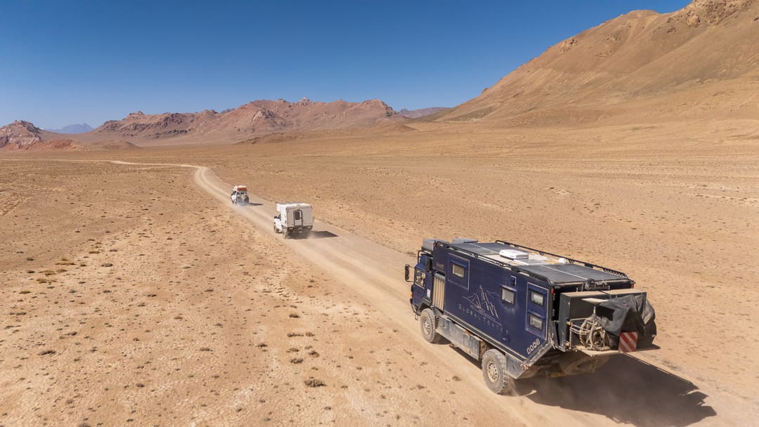
Photo by Dave Newton
Returning to the M41, continue to Murghab, which, at 3,650 meters above sea level, is the highest town in Tajikistan. Fill up with fuel and overnight at the Erali Guesthouse, which offers rooms, meals, hot showers, and vehicle parking in a gated dirt lot.
Murghab, Tajikistan, to Sary–Tash, Kyrgyzstan (229 Kilometers), Plus Two Optional Side Quests (227 Kilometers)
Founded as a Russian military fort at the end of the 19th century, Murghab became an important road supply station during the construction of the Pamir Highway. In town, the container market is worth a visit, as is the large hand-operated water pump. The pavement stretching from Murghab to the base of Ak-Baital Pass is pretty decent; you’ll notice a barbed-wire fence running on the driver’s side—China begins on the other side. From the peak of the pass, the gravel road descends to a blue sign announcing the maximum elevation, all of which is nearly obstructed by stickers. Here’s your chance for a photo op.
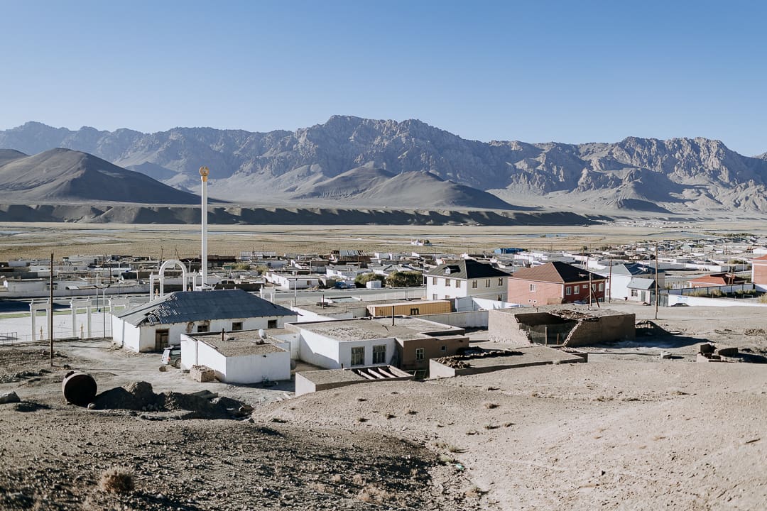
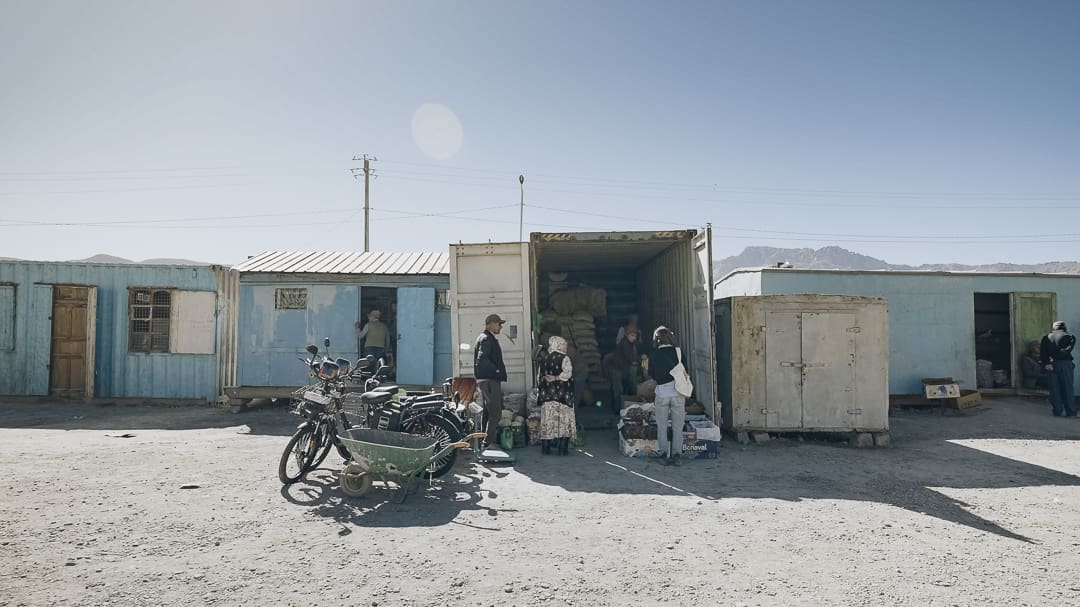
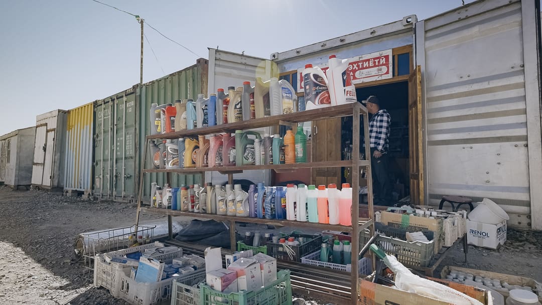
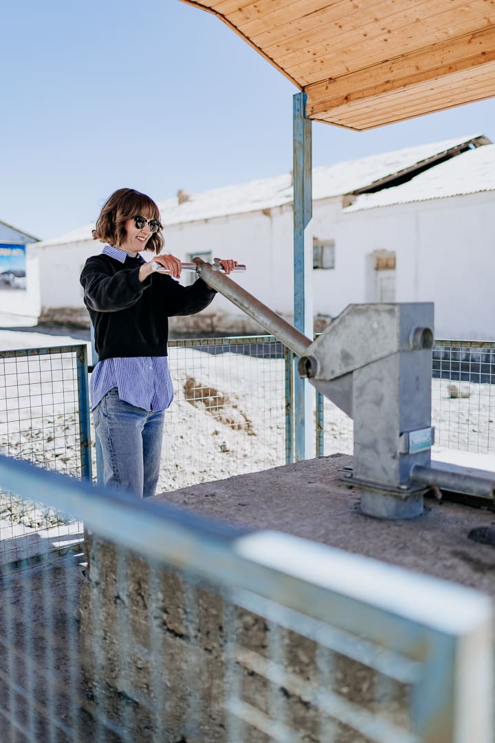
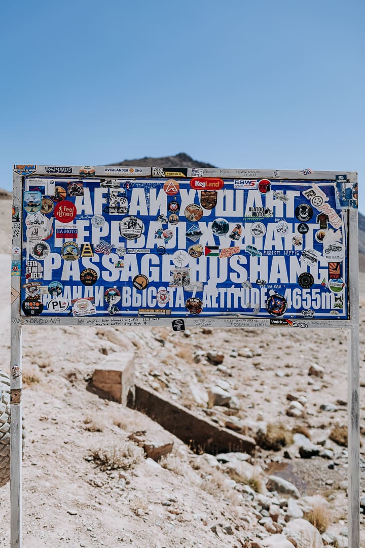
Approximately 130 kilometers later lies Karakul Lake, home to a Kool-Aid blue lake and the last settlement you’ll encounter in Tajikistan before arriving at the Kyrgyz border. Prepare for groovy and undulating pavement before a section of corrugations leading up to Kyzyl Art Pass and one of the most remote and highest border crossings in the world. After the paperwork is done, set your clock one hour ahead. Finally, road conditions improve, and Sary-Tash appears in the distance. Small shops offer produce, including fresh apples, peaches, and tomatoes; visit the ATM if you need Kyrgyz currency.
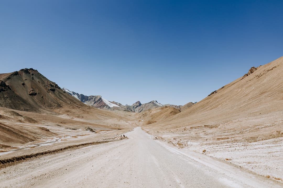
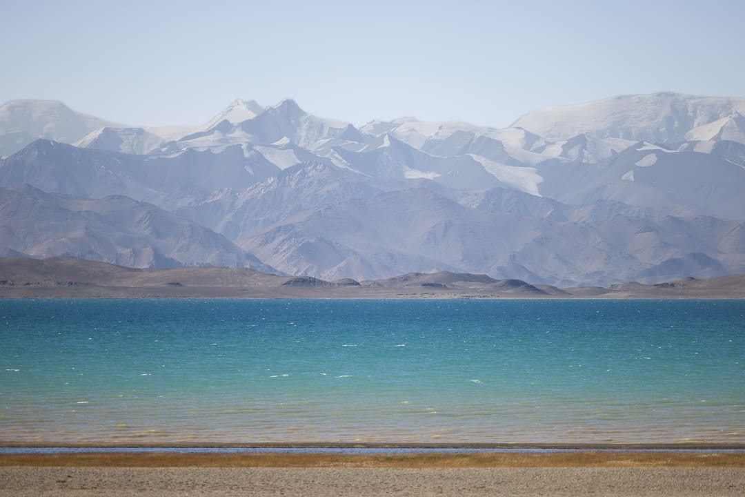
From Sary-Tash, two optional detours place the cherry atop your Pamir Highway experience: Tulpar Lake and Peak Lenin Base Camp. Each requires a bumpy off-pavement drive via gravel roads branching off from the village of Sary-Mogol, where a lively weekly market features spectacular mountain views.
A 20-kilometer drive takes visitors to Tulpar Lake, where seasonal yurt camps provide shelter for tourists and hikers. You may wild camp here as well.
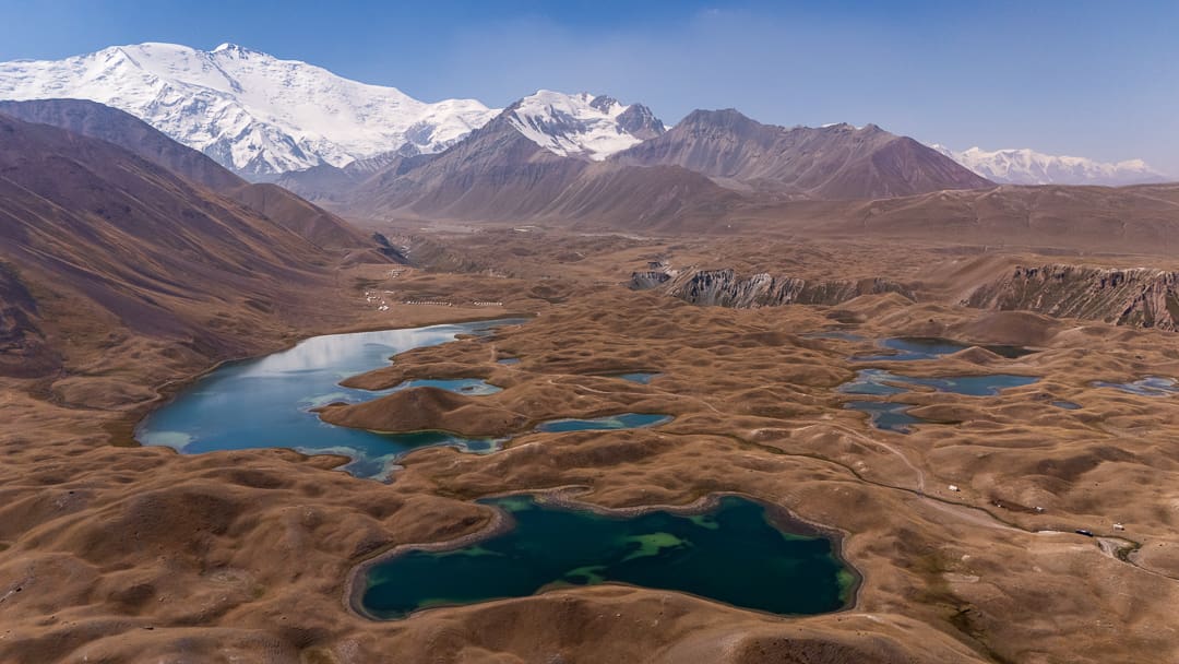
Photo by Dave Newton
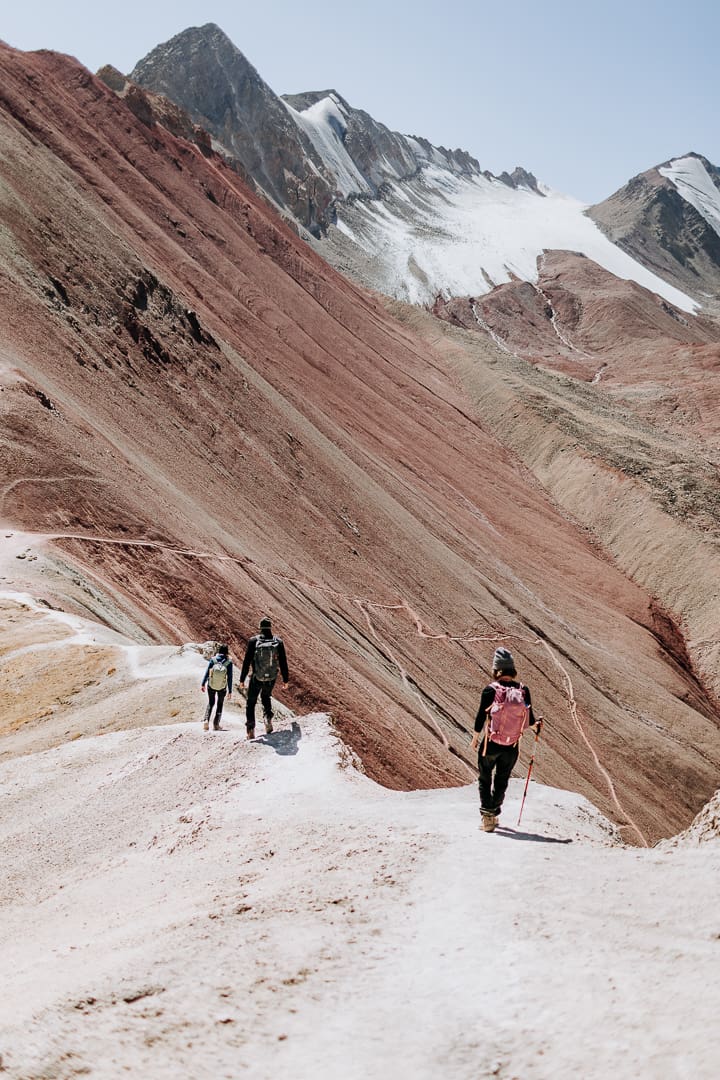
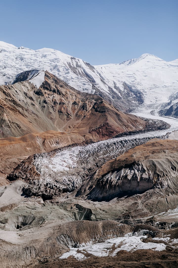
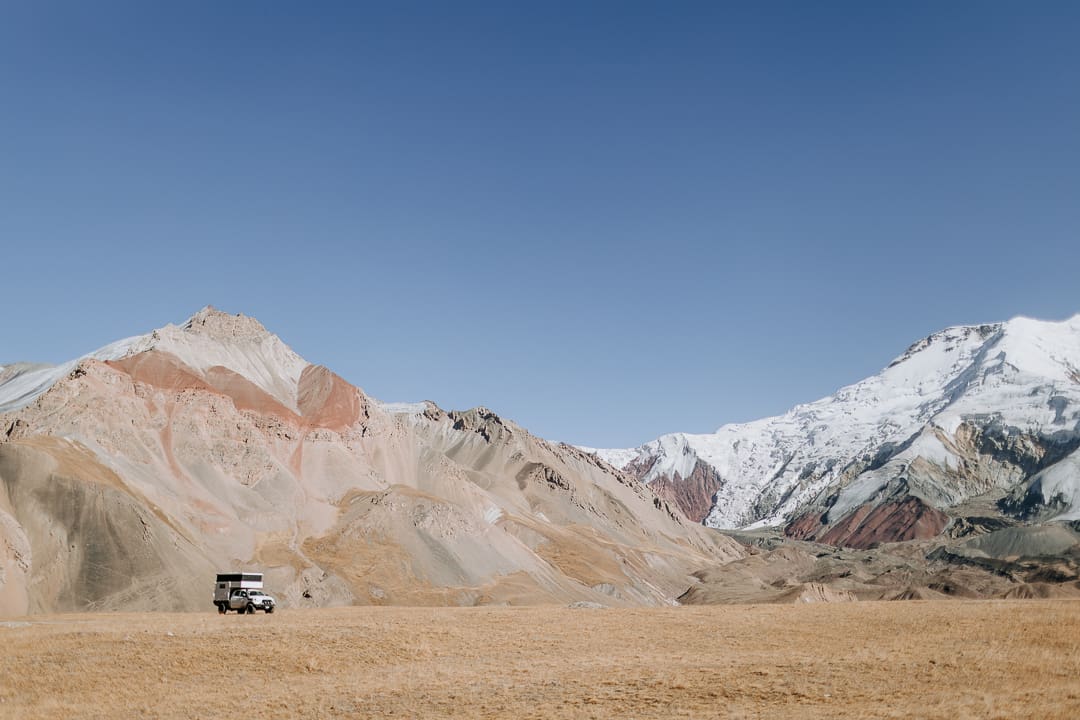
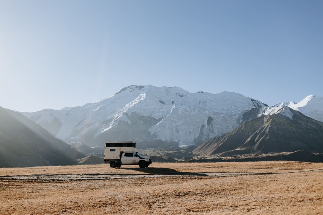
From Sary-Mogol, Peak Lenin Base Camp (offering cabins, yurts, and tents) is roughly a 50-kilometer drive via variable tracks that alternate between rolling, smooth, and bumpy. Continue three kilometers further to the “Onion Field.” This last bit is the most challenging, but once there, you’ll spot wild onions and spectacular views of the 7,134-meter massif. Wild camping is allowed here, with hiking opportunities nearby.
Sary-Tash to Osh (186 Kilometers)
The paved road from Sary-Tash to Osh is in good condition, although you may encounter construction near the serpentine Taldyk Pass. Red rocks, the sparkling blue river of the Gulcha Valley, and turquoise-accented mosques provide visual distractions before you arrive in the bustling city of Osh. Park at the Tes Hotel, enjoy a shower and laundry, order laghman and tea at the Navan restaurant or breakfast at the Breo Café, and reflect on the adventurous days behind you, a memorable journey through the roof of the world.
Access
Flying In Dushanbe International Airport (DYU) is the primary starting point for most travelers starting the west-to-east route, while Kyrgyzstan’s Osh International Airport (OSS) is preferred for the north-to-south route. Bishkek is Kyrgyzstan’s main airport.
Overlanding Dushanbe, Tajikistan, lies on routes from Kyrgyzstan and Uzbekistan, while Osh, Kyrgyzstan, is easily accessible via routes through Uzbekistan and Kazakhstan.
Logistics
Total Distance 1,451 kilometers without detours; 1,832 with all detours described above.
Suggested Time Five days minimum. According to the Caravanistan website, you can complete the route in three days if you are willing to pull 16-hour driving days and forgo all side trips. We did the opposite and enjoyed the route for 16 days.
Longest Distance Without Fuel 426 kilometers.
Fuel Sources
Diesel was slightly more challenging to find than gasoline (which was plentiful enough throughout the route). Some overlanders driving diesel-powered vehicles and/or using heaters encountered challenges at high elevations.
Doshtak: 38°27′22.9″N, 70°46′47.3″E
Khorog: 37°29′3.76″N, 71°34′54.09″E
Ishkoshim: 36°42′36.83″N, 71°38′16.20″E
Murghab: 38°10′28.72″N, 73°58′28.96″E
Sary-Tash: 39°43′47.57″N, 73°14′50.23″E
Difficulty (3.5 out of 5.0)
The difficulty lies mainly in longer-term wear and tear on your vehicle rather than the need to engage 4WD to tackle obstacles. Although it is possible to complete the route with a 2WD vehicle, 4WD, or, at the very least, ground clearance, a shorter wheelbase, and off-pavement experience are preferable for peace of mind. In addition, more preparation is required due to permit requirements, strategic food and water rationing in some sections, the need to acclimatize, and the area’s remoteness. For optimal acclimatization, drink plenty of water, and once over 3,000 meters, never sleep more than 300 to 400 meters higher than the previous night.
When to Go
Dry, warm, and stable weather lasts from May to September. Be prepared, as conditions can become unpredictable over 4,000 meters.
Permits and Fees
Visas As of 2026, Tajikistan offers visa-free entry to citizens of over 65 countries for stays of up to 30 days. Tourists from 120 countries may apply for an e-Visa valid for up to 60 days; e-Visa approvals can take some time (i.e., weeks), but with an e-Visa, you do not require an OVIR Registration extension, and you may simultaneously apply for the GBAO permit (see below).
Citizens of 55 countries may enter and remain in Kyrgyzstan without a visa or registration requirement for a maximum period of 30 days within a 60-day period; travelers wishing to extend their stay may apply for an e-Visa.
Temporary Import Permit Obtain on arrival at the Tajikistan border, then again upon entering Kyrgyzstan. If spending time in Tajikistan, ask the passport control agent to grant at least 30 days on the temporary import permit (standard registration is 16 days). At the time of writing, overlanders piloting right-hand-drive vehicles were prohibited from entering Tajikistan from Uzbekistan but could cross from Kyrgyzstan. Check iOverlander for updates.
GBAO Permit Obtain from local OVIR offices in Panjakent, Dushanbe, Khorog, and Murghab (see iOverlander for more information). Local tour outfits can also arrange your GBAO permit in advance, as can OunTravela.com. As you travel along the Pamir Highway, you will pass numerous GBAO posts where your passport and permits will be checked.
OVIR Registration Extension If your stay in Tajikistan exceeds 10 days, you need to register with a local OVIR office. Exception: If you apply for and receive a Tajik e-Visa online, you may skip this step.
Border Permit for Peak Lenin Base Camp and Tulpar Lake Contact the Community Based Tourism (CBT) offices in Sary-Mogol or Osh to obtain a permit for these areas. Apply at least one to two weeks in advance via email or WhatsApp.
Suggested Campsites
All “wild camps” listed below are just that—no amenities are available.
Fish Farm River Wild Camp
38°30′14.50″N, 70°47′59.43″E
Football Field Wild Camp
37°54′45.86″N, 71°23′19.10″E
Meadow Wild Camp with Mountain Views
38°16′19.97″N, 71°21′5.32″E
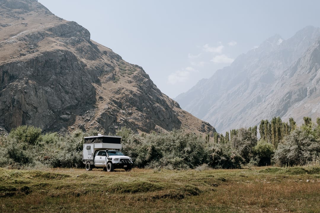
Pamir Lodge, Khorog
Showers, a dishwashing station, handwashing laundry facilities, meals, and access to mechanics.
37°29′12.52″N, 71°33′44.60″E
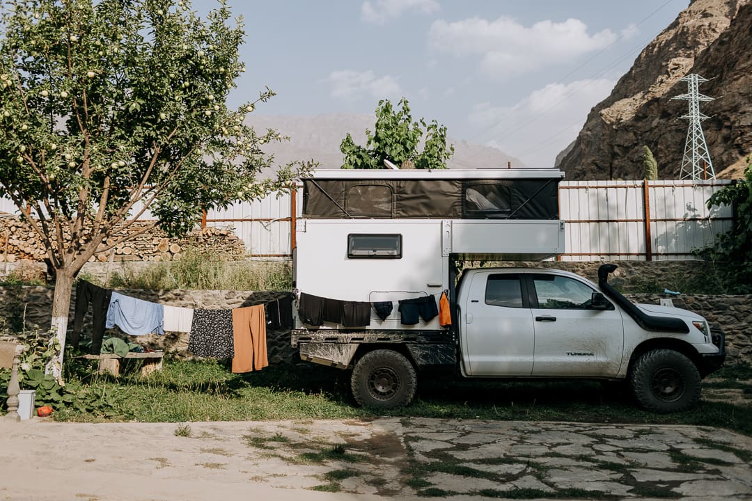
Riverside Camp with Local Family
Parking available in a grassy field next to the family’s home, pit toilets available.
36°47′45.46″N, 71°34′5.77″E
Panorama Wild Camp
37°9′46.78″N, 72°43′53.17″E
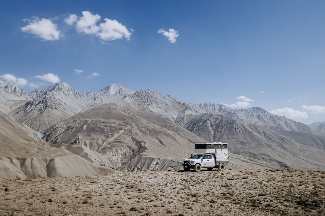
Chukurkul Lake Wild Camp
37°33′20.80″N, 73°6′34.68″E
Riverside Wild Camp
37°49′14.92″N, 73°41′16.48″E
Lunar Wild Camp
37°49′7.33″N, 74°10′57.22″E
Erali Guesthouse
Rooms, meals, hot showers; you may stay in your vehicle in the back gated dirt lot.
38°10′47.68″N, 73°58′16.96″E
Karakol Lakeview Wild Camp
39°9′58.50″N, 73°28′0.59″E
SarySoul Mountain Lodge
Cozy respite with field parking, nice views, showers, and hot meals.
39°43′15.85″N, 73°15′12.1″E
Onion Fields Wild Camp
39°27′11.74″N, 72°54′34.60″E
Contacts
OVIR Offices, GBAO, and Border Permits visitalay.com
CBT Sary-Mogol Office +996 556 092627 (WhatsApp), sarymogol.com
Tajikistan e-Visa visa.gov.tj
Visit Alay Osh Office +996 556 007030 (Tel/WhatsApp)
Resources
The iOverlander app is the go-to for updates on border crossings, military checkpoints, viable camp spots, and road conditions.
Caravanistan caravanistan.com
Atlas Rambler Travel Guides atlasramblertravelguides.com/jizeu-valley-hike-tajikistan/
Rogue Wanderers roguewanderers.com/blog/Tajikistan-and-the-pamir-highway
Lonely Planet Guide to Central Asia
Central Asia for Overlanders by Valeria Pixner and Lukas Unterholzner
Explore Kyrgyzstan: 24 of the Best Off-Road Routes by OunTravela
It is recommended that the traveler utilize redundant GPS devices (like a phone and a dedicated GPS), along with paper maps and a compass. This track, along with all other Overland Routes, can be downloaded on our website at overlandjournal.com/overland-routes/.
Editor’s Note: This article was originally published in Overland Journal’s Fall 2026 Issue.
