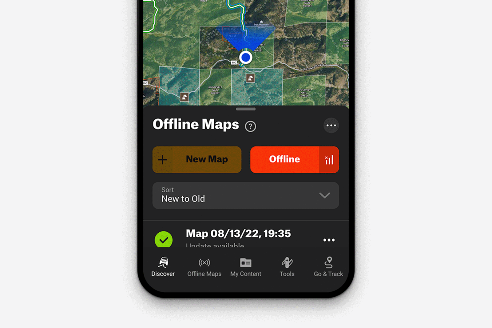
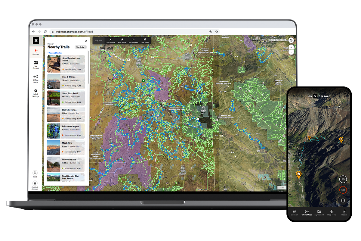
onX Maps has boosted its Offroad app with a new proprietary Route Builder feature.
In recent years, the Montana-based company has made big waves in the GPS navigation world with its suite of online and offline mapping software that caters to many stripes of outdoor enthusiasts, including those of us that are drawn to the remote backroads of North America. They have been steadily improving their Offroad app with a wide variety of features, including their brand-new Route Builder.
I previewed the Route Builder at Overland Expo in Flagstaff last month and, in the meanwhile, have had a chance to explore the app in more detail. Down the road, stay tuned for a long-term review as I use the app to plan and guide some exciting overland adventures later this summer. For now, let’s take a look at how onX Offroad has evolved to offer more useful information and to make the user experience that much more powerful and—dare I say it—inspiring.
The big update for Offroad is the Route Builder tool. This feature allows users to create custom routes along trails and roads, connecting multiple trail systems and spanning OHV areas. With over 650,000 miles of interactive trails and dirt roads for 4×4s, UTVs, motorcycles, and snowmobiles within the app, the possibilities seem nearly endless. Simply drop a point on the desktop or mobile map, and the tool’s “snap-to-trail” functionality will automatically trace the closest road or trail. Once built, users can save a route, share it, and hit the dirt—following along from their mobile device, tablet, or in-dash via CarPlay or Android Auto. It works offline through GPS after downloading the route, and you can share it with anyone via GPX or KML file.

What sets onX apart in this approach to route-building is its proprietary data set that’s developed in-house by its own cadre of mappers, as well as its user community. onX Offroad General Manager Rory Edwards [no relation] says: “While other mobile apps rely on trail and road data from third-party vendors, we’ve built our maps from the ground up. By combining thousands of data sources, our geospatial team works to ensure the accuracy and recency of trail information. This human-powered quality control lets our customers create high-fidelity routes across the country.”
In short, onX has done the hard work itself to build the data set to guide your adventure. This includes detailed private/public land boundaries, dirt and snow modes for multi-season functionality, on-the-ground reviews of specific roads and trails (including fine-grained information like viable vehicle width), and their own trail difficulty rating system. Additionally, the UX/UI for both the mobile and desktop apps are top-notch, and the integrated weather app and lushly illustrated 3D planning views make using onX Offroad a joy to use.
onxmaps.com | Free trial or up to $99.99 per year for Elite subscription
Images: onX
Our No Compromise Clause: We carefully screen all contributors to ensure they are independent and impartial. We never have and never will accept advertorial, and we do not allow advertising to influence our product or destination reviews.


