
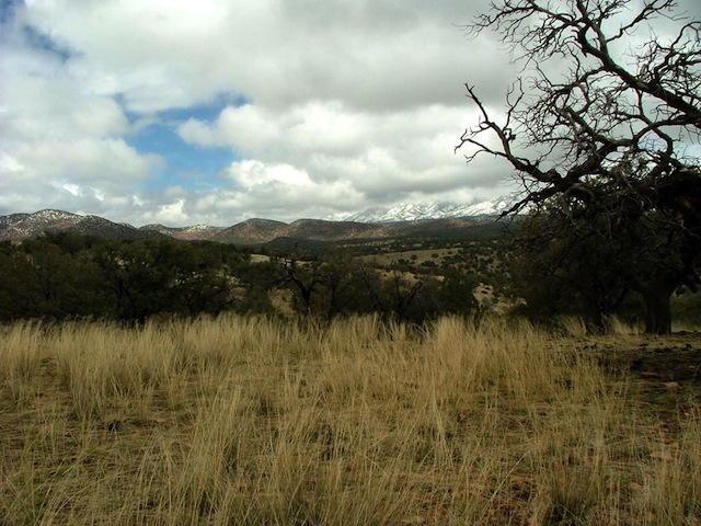
This scenic trail along the border of Mexico in the southern reaches of the Coronado National forest and surrounding mountains and grasslands is a photographers and nature lovers paradise. The trail varies in elevation from over 3,000 feet, to nearly 7,000 feet and can experience snow at any time of the winter (as we did on this trip). The trail passes by several well preserved ghost towns and mine remains.
We left from Arizona 82, about 4 miles NE of Nogales. The road is marked as Duquesne (N31 23.301 W110 52.318 NAD83 Datum).
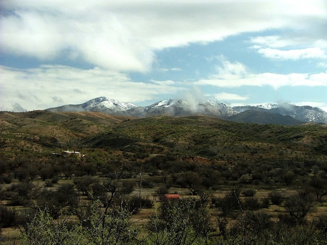
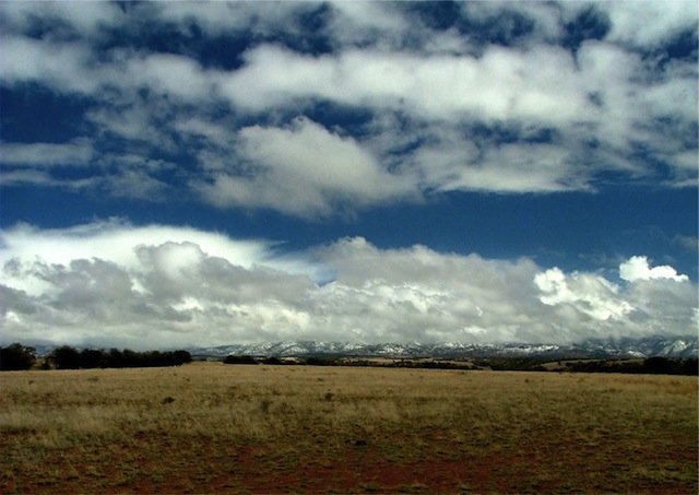
The trail begins climbing in elevation along Sycamore Canyon, with a beautiful view to the west.
After a series of climbs, the trail descends towards Washington Camp ghost town and the Duquesne ghost town before reaching the town of Lochiel and the closest proximity to the border.
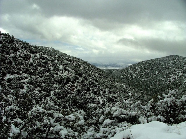
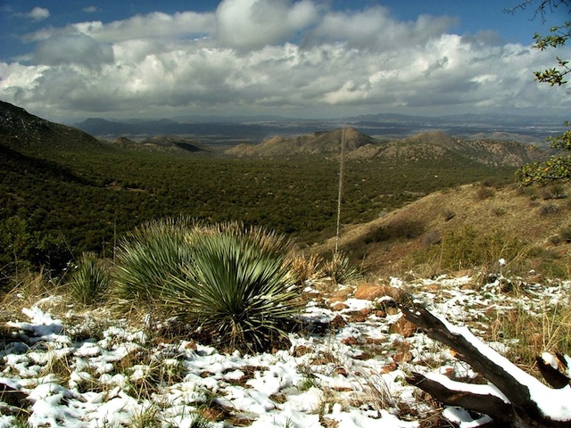
The view and the snow made for a fantastic portrait!
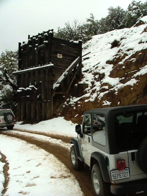
A nice view of the hopper at Kansas Mine. Video of driving in the snow.
After Lochiel, you stay on FR61 and begin driving NE. At approximately 26 miles (N31 20.895 W110 29.702) we took FR4016 NE, with the desire to intersect the Parker Canyon Lake Road. At Jones Canyon, FR4016 connects with FR194. Take FR194 to Parker Canyon Lake.
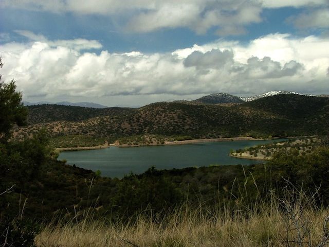
A view of the lake, which makes a great lunch spot.
We took the Parker Canyon Lake Road north towards Sonoita and decided to try the Vaughn Loop Road (FR826). This is a slightly more challenging track than the others we had driven that day, made more so by the muddy conditions. The trail is somewhat difficult to navigate without a map, so used to linked .MPS and Waypoint files above to find your way.

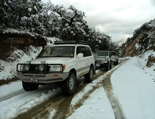
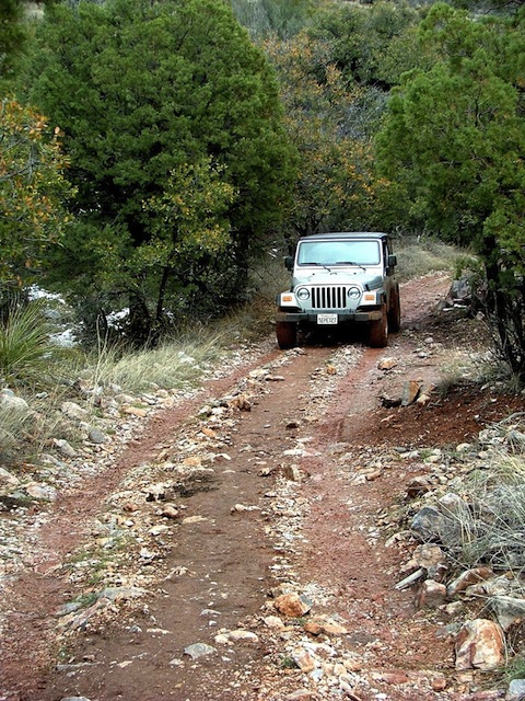
Video of a new Jeep Wrangler X negotiating the low traction terrain.
After crossing O’Leary Creek, the trail becomes easy and puts you out on the paved Parker Canyon Lake Road south of Sonoita.
Trip Details
- Date: 4/3/2004
- Trail Time: 5-7 Hours
- Location: Patagonia (Tucson Area), Arizona
- Mapping / GPS / Waypoint File: .gif Map Image (main) Topo Map (West) Topo Map (central)/ .MPS (Mapsource) Track File / .TXT Waypoint and Track
- Trail Rating (1-5 scale): 2.5 (Note: If your travels are restricted to only the main Mex. Border Trail the rating would be a 2. The Snow and mud on this particular trip increased the difficulty of all trails measurably. The ratings indicated are for dry conditions.)
- Major Obstacle: None
- Brush (minor, moderate, severe): Minor
- Scenic Value (1-5 scale): 4: This is a nice area of the Coronado’s with tall grass, plentiful bird life and great views. The pictures speak to the areas appeal
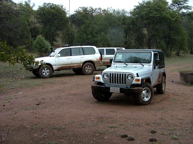
- Attendees:
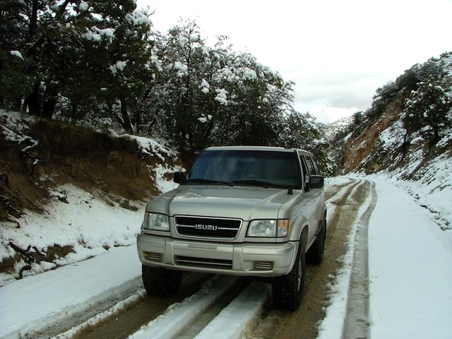
- Scott Brady- 1998 Isuzu Trooper
- Doron and Family- 1999 Toyota Land Cruiser 100
- Linda and Randy- 2004 Jeep Wrangler X