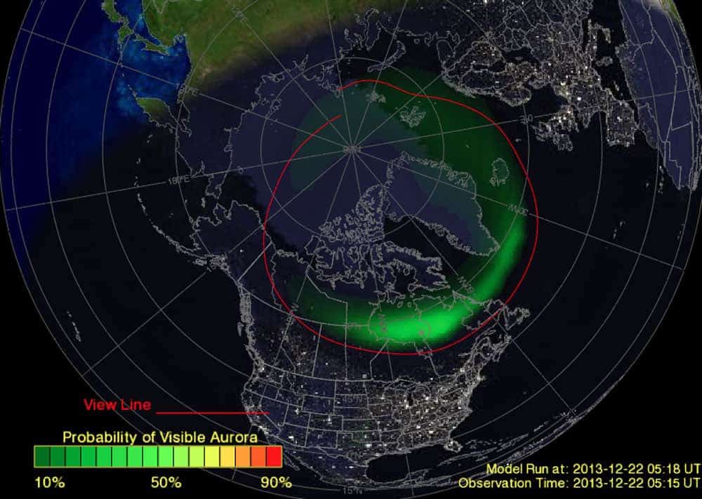
Map of the Week: Tracking the Aurora Borealis

A satellite map of North America shows the probability of seeing the aurora borealis, ideal for overlanders. Green shading over Canada indicates higher chances, with a colored bar from 10% (yellow) to 90% (green). Red lines show observation paths.


Christophe Noel is a journalist from Prescott, Arizona. Born into a family of backcountry enthusiasts, Christophe grew up backpacking the mountains and deserts of the American West. An avid cyclist and bikepacker, he also has a passion for motorcycles, travel, food and overlanding.