

It was mid-March 2020, and news of COVID-19 was widespread and omnipresent. Businesses were shutting down left and right, and the dreaded pandemic was taking hold across the globe. I was in Breckenridge, Colorado, working on the mountain, and in the midst of the best winter of my life.
As COVID-19’s spread increased, and public safety countermeasures were introduced, my job out west dried up as my resort shut down. With my paychecks coming to a close, I had to act fast. My family has a cabin in the mountains of Highlands, North Carolina, a place that has always been near and dear to me. While torn over leaving Colorado, the decision to move back east boiled down to a very easy resolution for me.
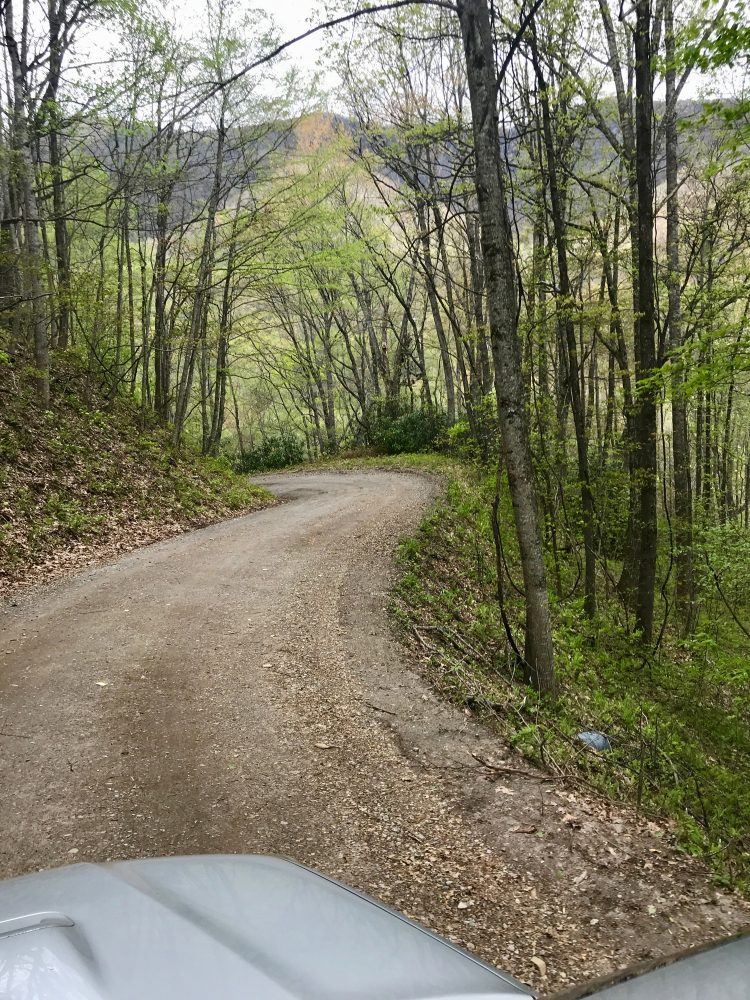
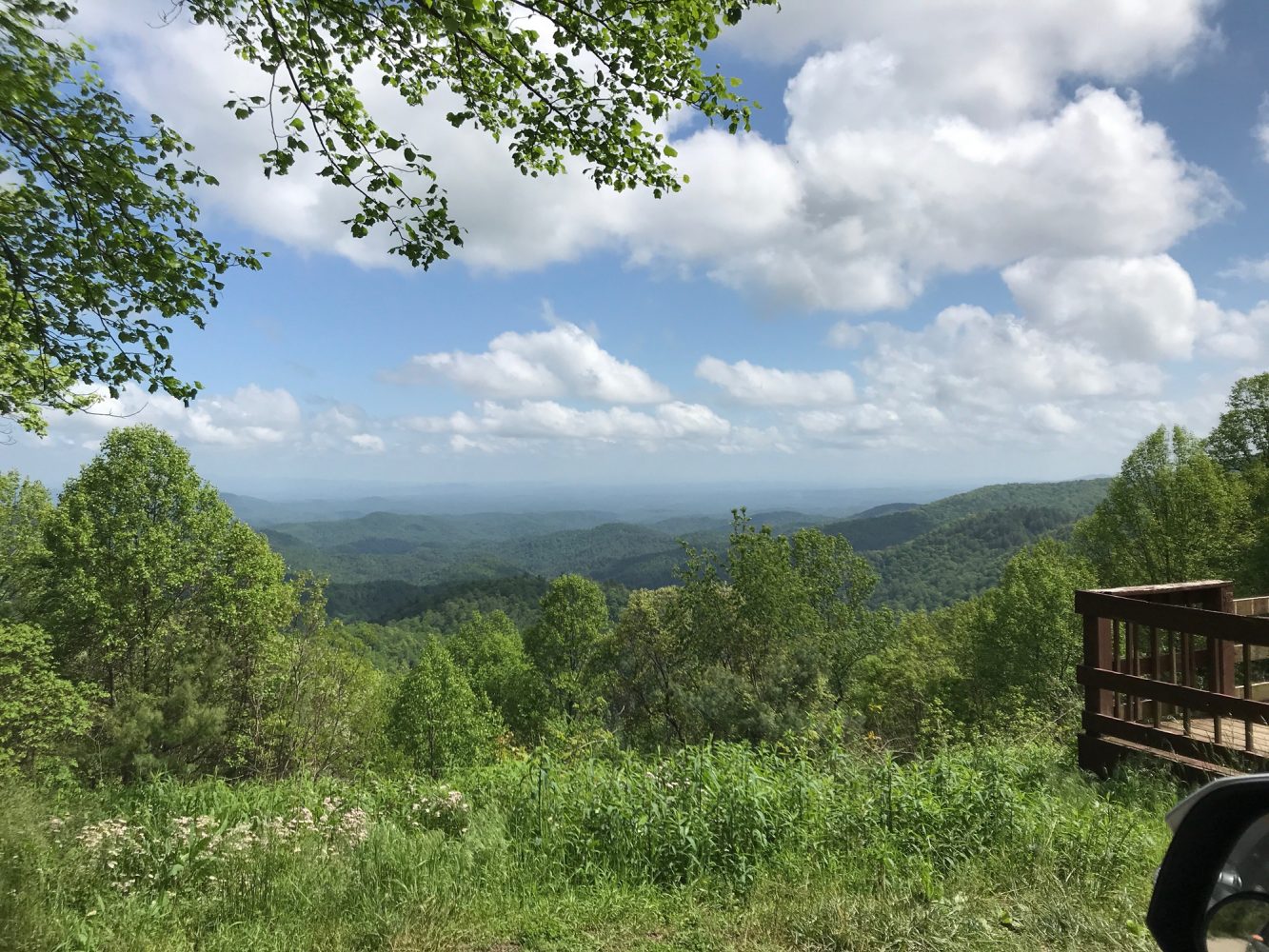
Upon arriving in North Carolina, I once again found myself at an elevation of over 4,000 feet. I was safe, happy, settled in, and knew I was surrounded by off-road excursions. With too many beautiful places to count, I referred back to my off-road wish list. I had spent many hours researching, planning, and plotting routes while living in the area, and was happy to see a rather long list of locations before me.
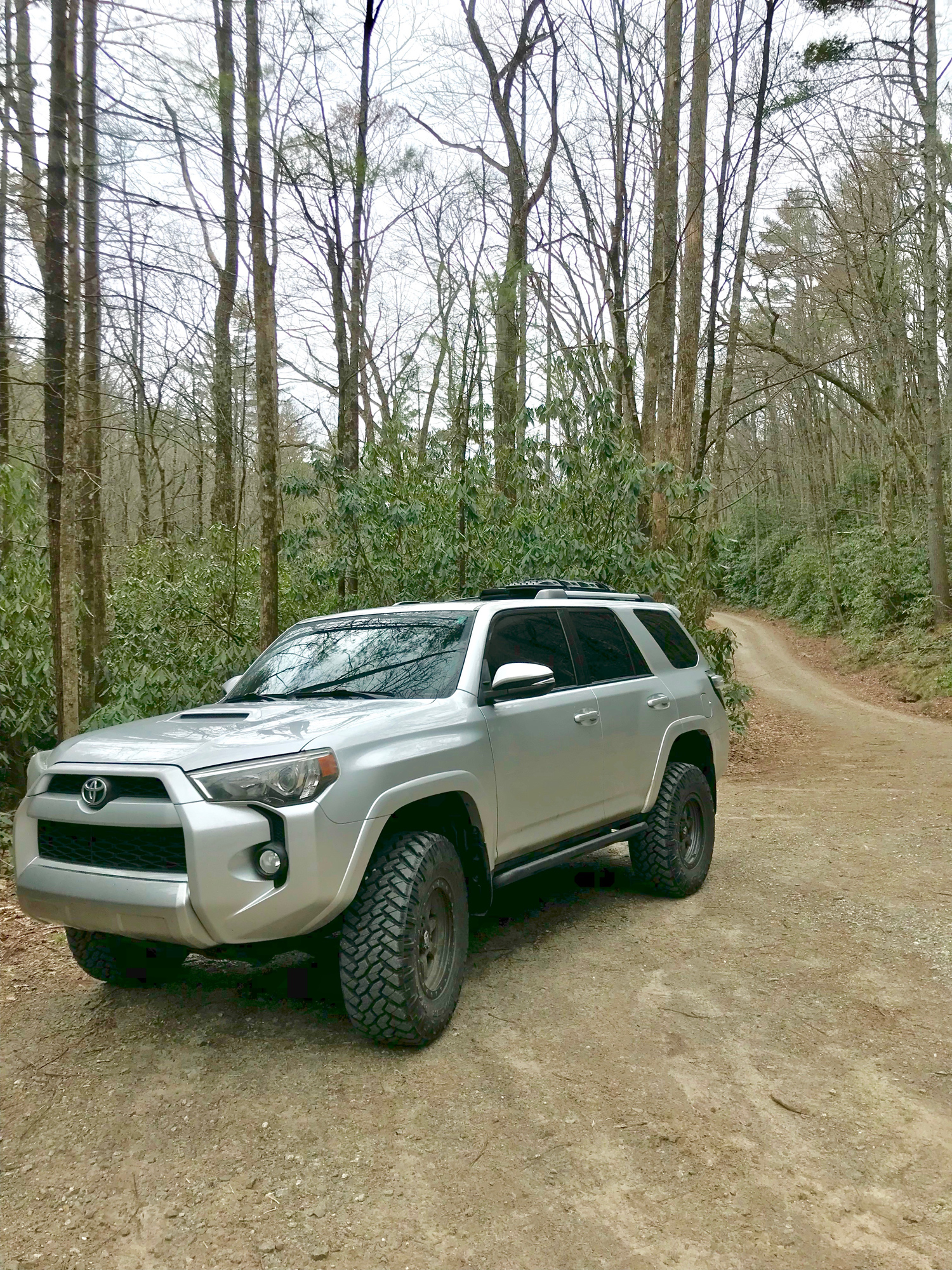
My 2014 Toyota 4Runner is nothing fancy, yet it is extremely capable. It was time to review my notes and set out.
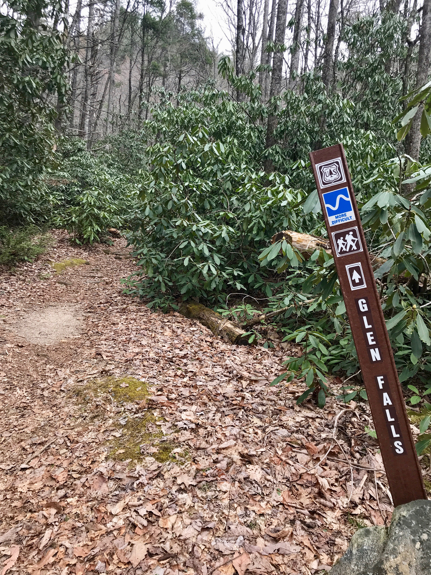
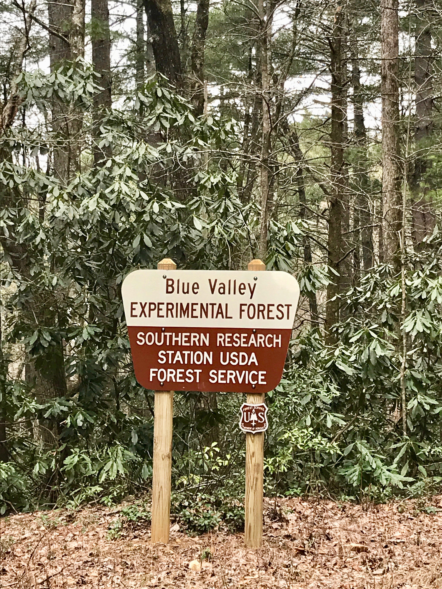
North Carolina Blue Valley Experimental Forest
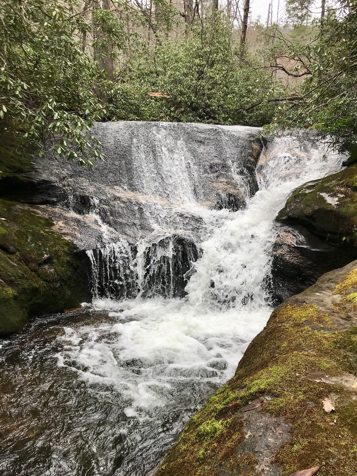
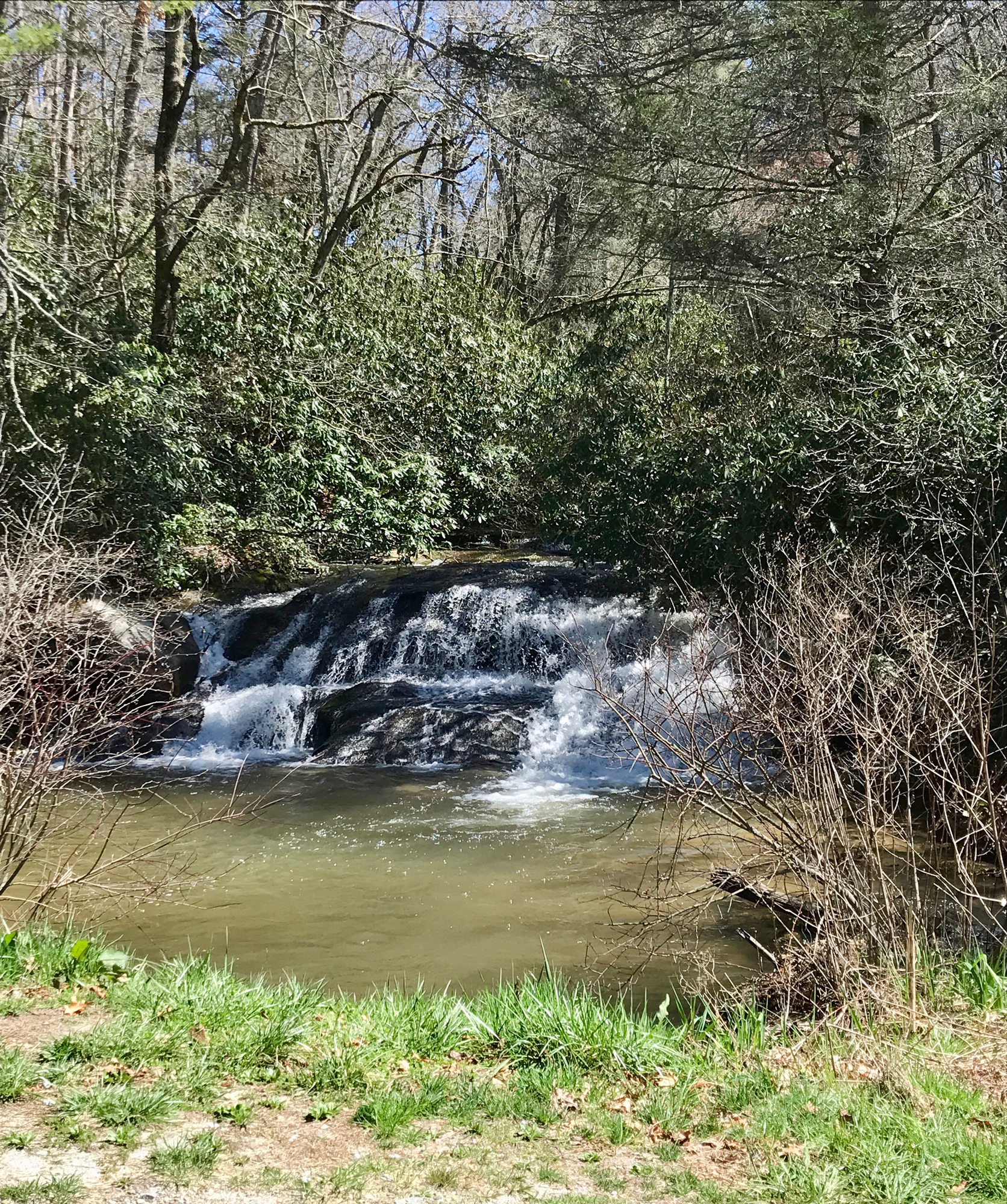
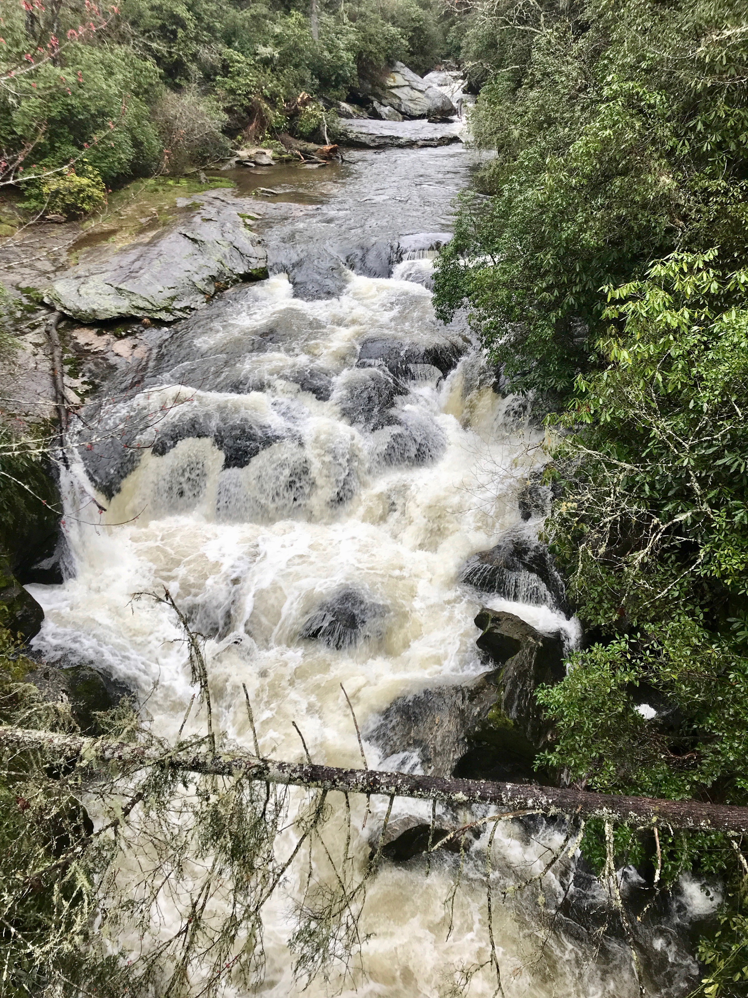
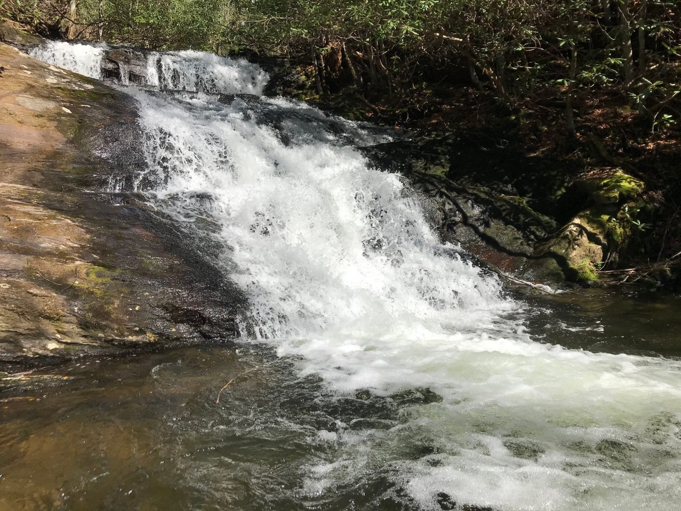
Known as Blue Valley, the area is full of eastern white pines and old hickory trees and is located in Macon County, just a few miles away from me. The experimental forest was established in 1964 with approximately 1,300 acres and is the smallest of the three experimental forests in the state. I clocked over 23 miles of off-pavement exploration, then had a good hike to a few gorgeous waterfalls. I was struck by just how clean and crisp the air was. The mountain air was sweet, and I wanted more. It was late March, and not everything was blooming just yet, but the beauty was in full view. This was exactly what I needed. It was great to be back out in the forest.
Georgia Traverse
Next, I set my eyes on a bigger target: the Georgia Traverse. I was fascinated that a primarily off-pavement trail exists stretching along the northern portion of Georgia all the way from the eastern border with South Carolina to the western state line shared with Alabama. I had to experience it myself. Knowing this trail, unobstructed, would take a few days to go end to end, I set out to survey the nearest sections to start. I loaded up and drove south to Burrell’s Ford Road. The track was fairly moderate with maintained crushed gravel with several water access points, fishing spots, camping locations, and hiking trails. I marked some spur trails along my route for another time. I took special note of the West Fork and Watkins Mill areas. I went as far as I could, venturing from east to west on the traverse with my trip stopping at a locked gate west of Dillard. Although the trip was cut short, I was pleased to have had the opportunity to explore this southeastern mostly-off-road gem. I plan on returning once this gate is opened.
Chattooga River
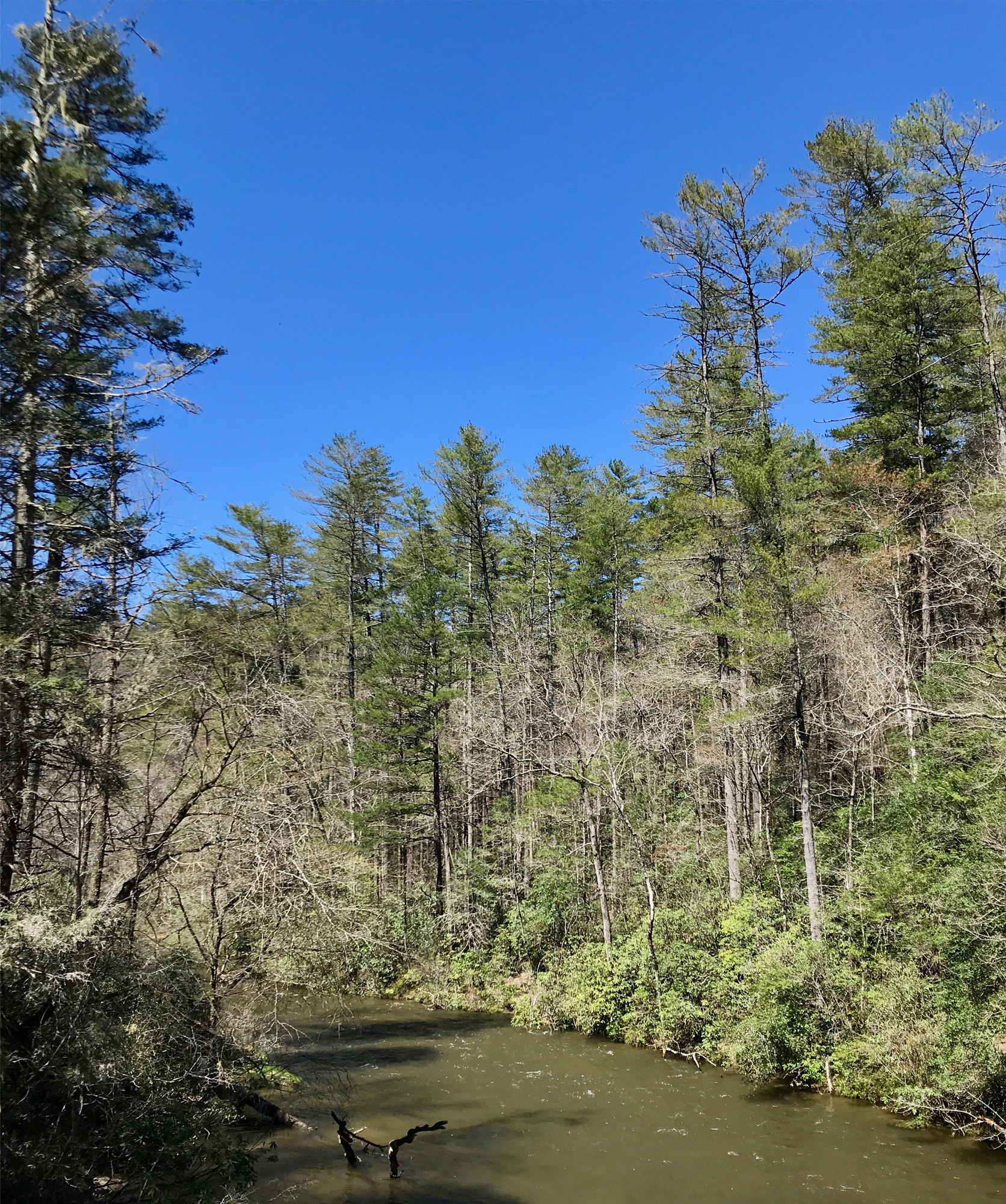
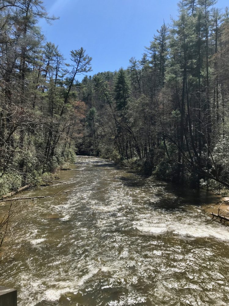
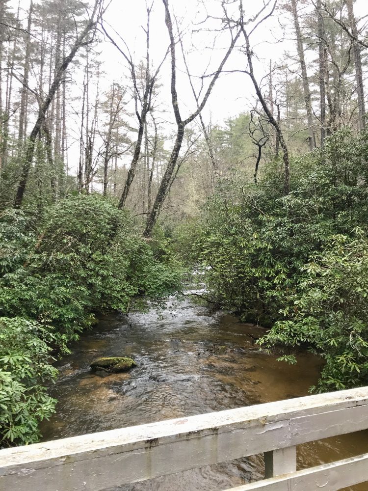
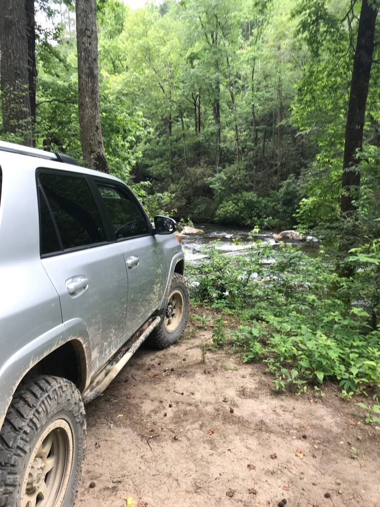
Just to the south of my family cabin flows the wild and scenic Chattooga River. As an avid white water rafter, I have been down this river many times. Challenging, daunting, and powerful, the Chattooga is a special place. Since the river is not dammed, each day on this free-flow river is different, unique, and remarkable.
There is a small trio of trails that I have discovered south of the cabin, and one of the trails takes you right to a beautiful spot along the Chattooga. I noted that I needed to come back and check out Ellicott’s Rock Wilderness in greater detail.
Pisgah National Forest
Next, I ventured east and explored the Pisgah National Forest. It was becoming more and more noticeable that travel restrictions and stay in place orders were being sent out with directions and updates guidelines. I was not leaving the house except to go off-roading. Hiking was approved as was being outside for mental and physical fitness as long as it was a distance of 6 feet apart. It looked like I was okay to social distance in the forest with no issues, as I planned to spend most of the day venturing in my 4×4 with forest hikes and waterfall visits sprinkled in.

I had spent some time in the Pisgah National Forest back in the summer of 2019 on a series of excursions around my birthday and fell in love with the area. Residing just southwest of Asheville, the Pisgah is a haven for people seeking a vibrant forest, hiking, fishing, mountain-top views, and off-pavement trails. Home to the renowned Cradle of Forestry and established in 1916, the Pisgah is one of the first national forests in the eastern United States. With hiking trails, waterfalls, streams, and spotty cell signals, I was in heaven. All of the attractions were understandably closed, but I had a wonderful time venturing out, exploring, and seeing a side of the forest that I had not witnessed before prior. It was basically empty. One of my favorite tracks, Yellow Gap, was gated, so I opted to venture over to Courthouse Creek. I was deep in Pisgah Game Lands, and it was tremendous.
Nantahala National Forest
The Nantahala resides in the southwestern portion of North Carolina. Comprising over 531,000 acres with elevations ranging up to 5,800 feet, the Nantahala is the largest of the state’s four National Forests. This forest was operating under fewer restrictions than the Pisgah, and I found this intriguing. Upon deeper reflection, it began to make sense that with Pisgah’s proximity to populated areas like Asheville and Brevard, more precautions were being taken.
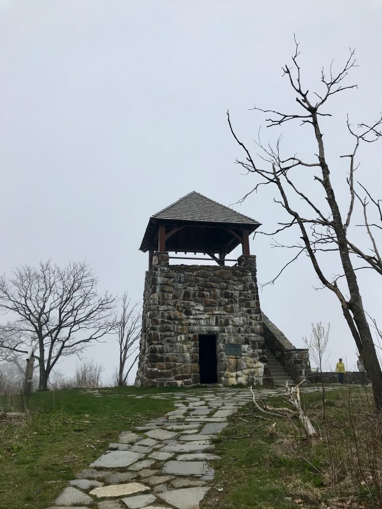
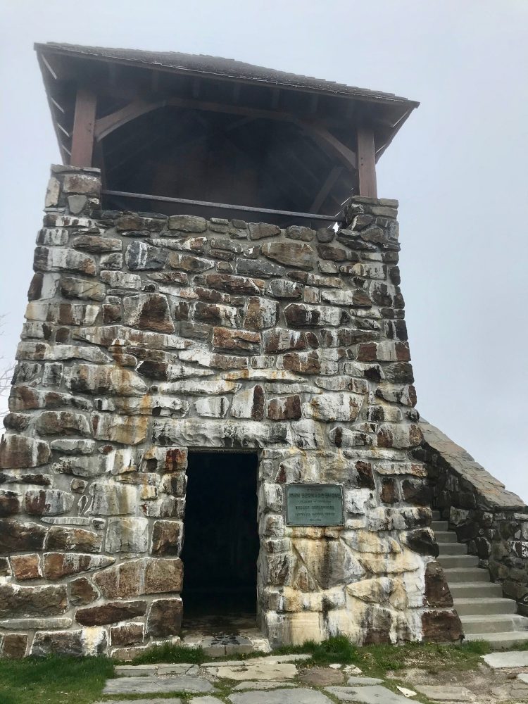
The Nantahala is in the western reaches of North Carolina, a bit removed from a neighboring major metropolitan area. I cruised by the headquarters of the Civilian Conservation Corps (CCC), which was founded under Franklin D. Roosevelt’s direction as part of the New Deal. Among its long list of credits, the CCC enhanced public awareness and outdoor appreciation, which shined a light on the ongoing need to plan, protect, and preserve our natural resources. Spots of special interest were the Wayah Bald Fire Tower, Big Mooney Falls, Laurel Falls, Nantahala Lake, and Standing Indian Campground, with the fire tower being my favorite. It was a day where the weather changed dramatically. It started out clear and sunny, and by the time I made it up to the fire tower, I was in the midst of a cloud. Eerie and beautiful. Quiet and majestic. I noted that I would have to return on crystal clear day to take in the views from 5,342 feet.
Tallulah Gorge State Park
I reached out to a good friend of mine living in northeast Georgia and asked if he wanted to meet up at Tallulah Gorge. An easy drive from the cabin, Tallulah Gorge is two miles long and nearly 1,000 feet deep, with an adjacent wilderness area protecting the land and wildlife. My buddy had been socially distancing, focusing on hiking near his home in Flowery Branch, Georgia, for his mental and physical health, and was up for a socially distanced meetup and outdoor adventure. Upon arriving at the park, I was immediately on high alert as a large number of visitors to the state park had the same idea. I made sure to grab my mask and ventured forth. My buddy and I embarked on the trail. We checked out the gorge, and it was truly a sight to behold. While we wanted to make it over to Tallulah Falls, we opted to pass as there was a long line that I had no intention of getting into. I had noticed on my maps that some off-pavement trails were just to the north of our current location, and it appeared to be a healthy trail network where we could potentially see Lake Tugalo. We hopped in the 4Runner and took off exploring every open gate we could find, covering every possible trail; there were a few closed gates, and we finally made our way back to the 4×4 trailhead to call it a day.

Horsepasture Road
I had been super edgy about the idea of going into a grocery store to get food, and after consulting with friends and family, discovered that a large big-box retail store down in Clemson, South Carolina, had pre-order groceries and curbside delivery. I was in. During the grocery pick-up, the delivery guy kept eyeing my vehicle. I was not sure what the deal was, but as he made his way to load my groceries, he beamed and said, “I love your 4Runner.” This guy knew the way to break the ice. We became fast friends as he pointed to his first-generation Tacoma that he had rigged up for off-pavement usage. We discussed mods, build plans, and places on the adventure list that had our eye. I asked if he wanted to go exploring sometime, and he said to reach out and that he would be there. I did, in fact, reach out, and we met up at Horsepasture Road, located just a mile away from South Carolina’s highest point, Sassafras Mountain. Located in Pickens County, Horsepasture Road is an excellent spot for camping and off-roading. Plus, there is a great view of Lake Jocassee. We ventured up the trail to a number of scenic overlooks. Jumping Off Rock has a fantastic view of Lake Jocassee where you can often spot peregrine falcons. We found a spur trail, which went up in difficulty and fun. It was a fantastic day hanging with a new buddy and checking out the area. He even hit a few jumps in his turbo Tacoma and got airborne. A great day indeed.
Lake Russell Wildlife Management Area
It was now mid-May, and I found myself back in Georgia with my buddy, checking out the Lake Russell State Wildlife Management Area. I was happy to find trails on trails on trails, which is my term for a developed 4WD trail network that just keeps going. The open gates were a welcome sight. We made it up to a 4,300-foot elevation, and my buddy and I kept commenting just how gorgeous the area was. There is always great pleasure and excitement to be had in taking someone to an off-the-beaten-path location out in nature that is practically in their backyard but is new to them.
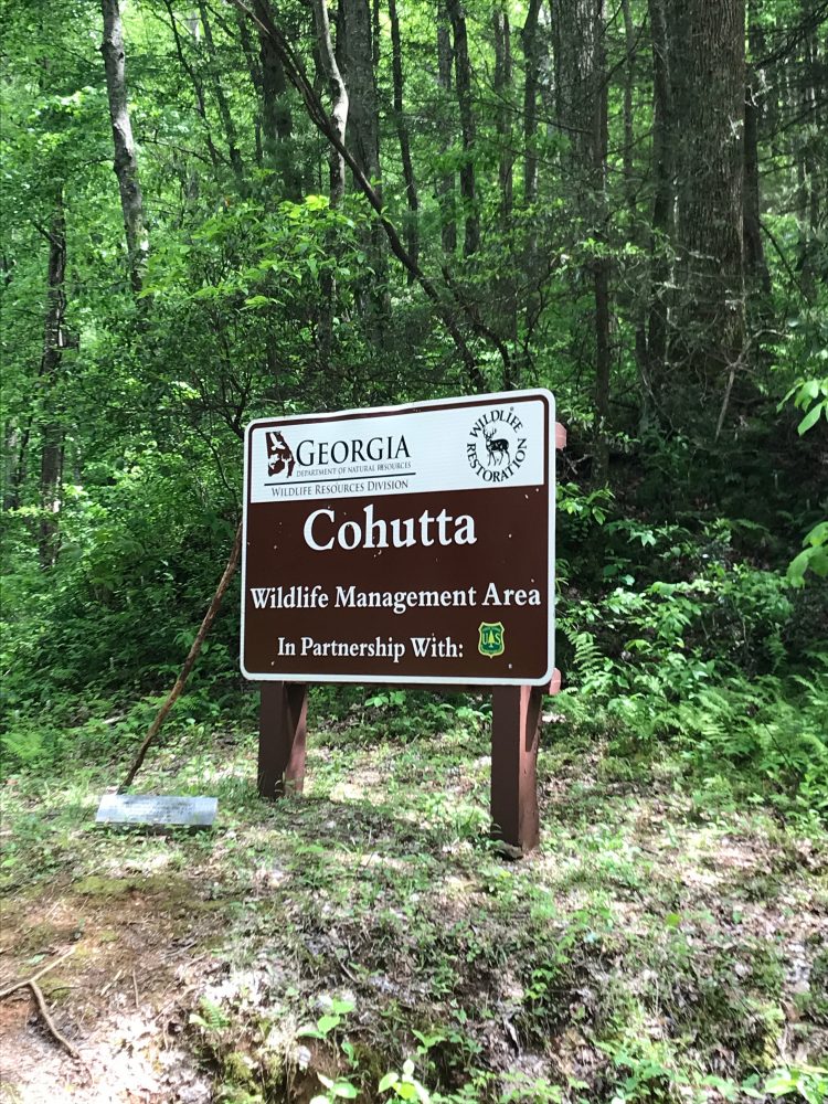
Cohutta Wildlife Management Area
As Memorial Day approached, I contacted a small group of friends, and we converged on Lake Conasauga in North Georgia. I had camped out just outside of Ellijay back in college, and I jumped at the chance to get back that way. The area we targeted was Lake Conasauga, just northwest of Ellijay. It resides up near the Tennessee state line and is a prime spot to explore some mountain terrain. A section of this area also happens to be on the Georgia Traverse, so I was thrilled to check out more of this track. Additionally, it came highly recommended by a buddy of mine that ventures out on mountain biking adventures across the southeast. We explored the area, hiked up to the fire tower and the lake, and spotted a number of fish relishing in the lack of hooks in the water. With the formal campground closed, there were fewer people there than under normal circumstances. I opted to alter my trip home, so I could stay on the Georgia Traverse, avoiding pavement as long as I could on my return trek to the cabin.

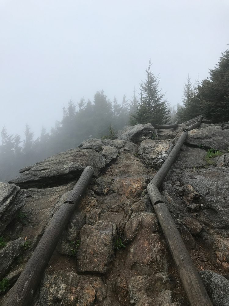
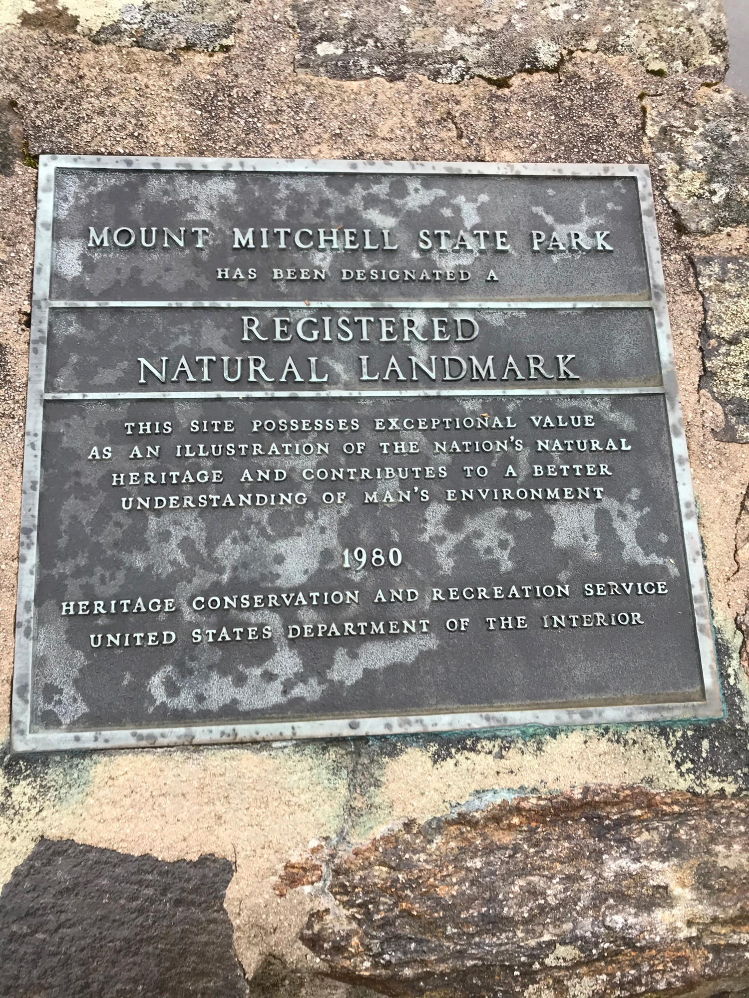
Mount Mitchell
Some good friends that I had met out in Breckenridge reached out to me. We all met out in Colorado back in December, shared the same passion for skiing and snowboarding, and became fast friends. They wanted to plan an outdoor adventure meetup in North Carolina. We decided to converge in Swannanoa. Everyone was healthy and doing as well as could be,all things considered. We hopped on the most beautiful thing we could find, the one and only Blue Ridge Parkway. We ventured up to Mount Mitchell, the highest peak east of the Mississippi River, and at 6,500 feet with adverse conditions, we were hiking inside of a cloud all day. The hike came in just under six miles, and with the steep elevation gains, it was a tough and slippery track. The weather did not stop us, with it never really raining sideways on us, but the area did confirm my initial suspicions: this was a wild, scenic place with rugged terrain. I knew I had to come back and explore even further.

Cowee
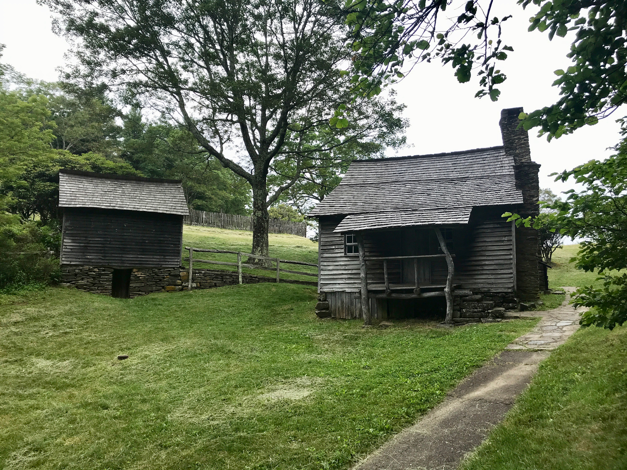
Next, when it was safe to do so, my family started grouping up at the mountain house. I was thrilled to see them since living in isolation does take a toll. My brother and I spent time looking at the maps as we wanted to venture out north of Franklin and hit the Cowee. I grabbed the Jacksonville Crew, and we all took off in the 4Runner. It was nice when the road flipped over to dirt, and we left the pavement behind. We continued up the trail gaining in elevation. We arrived at the gate, parked, and hiked up to the fire tower, reaching an elevation just under 3,500 feet. My brother studied historic preservation, and his head was on a swivel the way up and back. He kept noting the house structures and homesteads that we passed along the way.
Gorges State Park
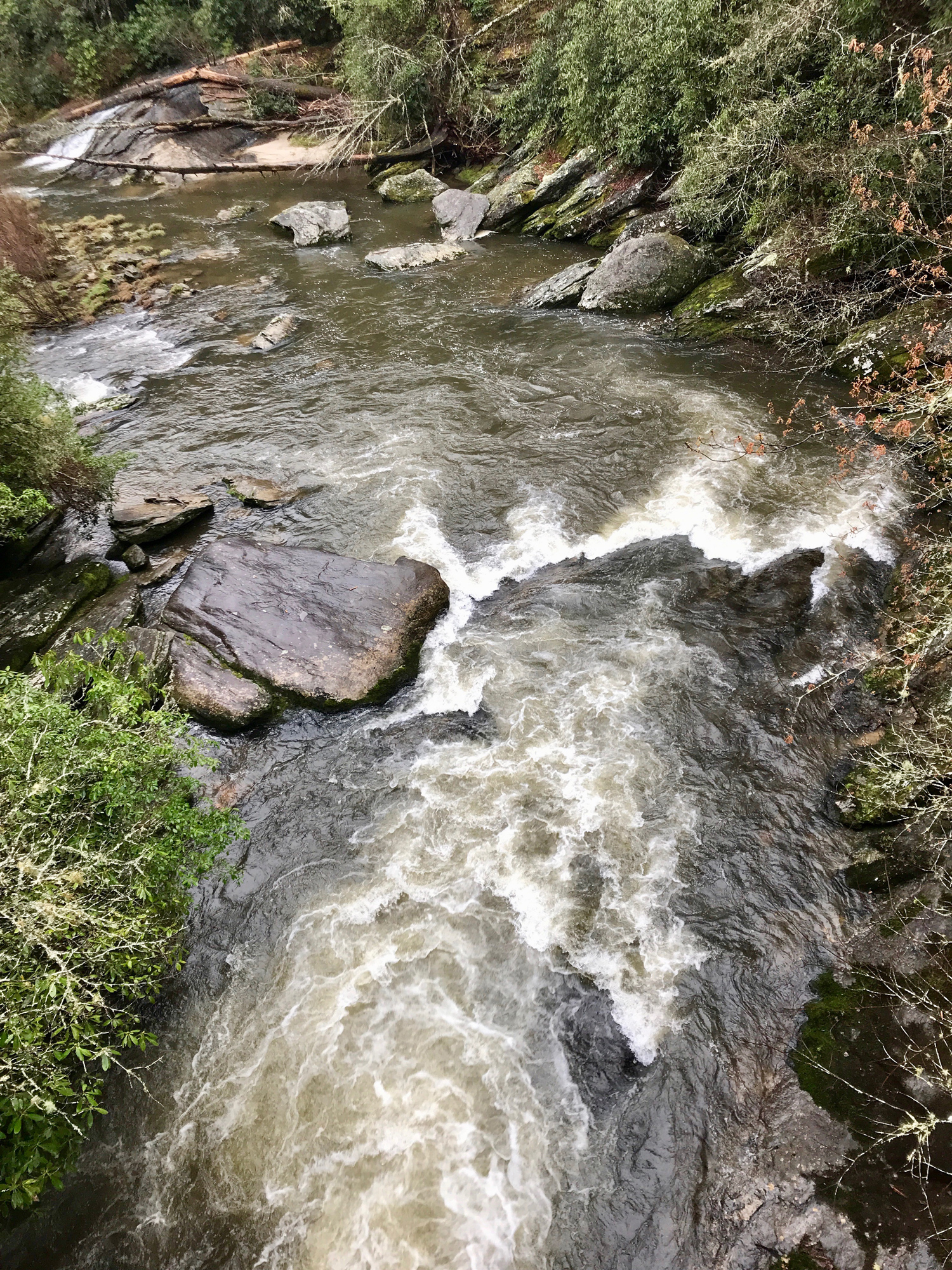
Located in Transylvania County, Gorges is rugged terrain. With multiple waterfalls, gorges, thick forest, and hiking trails with a wild and scenic river, this was a great spot to explore. After I did a little bit of research, I became aware that back in 1999, the land, in addition to Jocassee Gorges, was purchased by North Carolina from Duke Energy. I would like to take this moment to thank Duke Energy for selling this incredible tract of land to the state. I was aware of the 4×4 trail in the back of the property that went deep back into the wilderness but learned that this was primarily for game land access in the fall. Surprisingly, it was open; the track wound and twisted along the trail, with amazing drop-offs to the left and right, and eventually took us all the way down to the wild and scenic Horsepasture River—incredible.

Linville Gorge Wilderness
Located just southeast of Boone, North Carolina, I knew I was onto something special as I had also been looking at Grandfather Mountain and the Blowing Rock area for some time now. I found my spot and ventured out, seeking the greenest sections of the map. I was extremely excited to hop on the Blue Ridge Parkway for a bit and venture up toward Linville Gorge. I have always wanted to get closer to the Boone area, and the Linville Gorge area stood out from the rest as a haven for hikers and outdoor enthusiasts and mostly undisturbed forests, rivers, and wildlife. I came to Weisemann’s View first. The wide expansive views in every direction were worth it. I saw three falcons fly by within seconds of laying my eyes out toward Table Rock from the overlook. It was wild when a pair of fighter jets came through on a Thursday performing the Gorge Run.

I continued down the off-road trails making my way over to Table Rock. I stood atop Table Rock Mountain, known as “Attacoa” by the Cherokee, and knew I was standing atop sacred land, highly regarded by the Native Americans. My thoughts drifted toward their people and the great nation that was forced to relocate. With a heavy heart and a myriad of mixed emotions, I hiked down and hopped back in the 4Runner for the long drive back to the cabin, since camping in the area was still prohibited.
Gorges State Park
I was navigating the technical elements of the trail and noticed a spur trail that took a left and went deeper into the forest. My map did not denote this spur trail, so I went for it. The trail definitely kicked up a few notches in difficulty, and being alone, I realized that I did not have a safety net whatsoever. I navigated the jagged and steep terrain and continued, unsure of what I would find around the next bend. I went deeper down the trail until it became overgrown, and I decided it best to get back on the main trail, heading back toward Horsepasture River, one of my new favorite spots. I sat on the rocks, put my feet in the river, and ate lunch with a host of butterflies. On the way back, the rain started. I continued down the trail, and then my dashboard warning lights lit up with problems, most notably the ABS light, blinking and beeping. I knew something was wrong, but I had to keep navigating my way back up and out of the gorge. I was fully focused on getting safely off the trail, and then, I had no brakes as my foot went to the floor. My eyes widened as my pulse quickened. I got the speed under control with the emergency brake and knew if I could just keep her safely on the track with a low maintained speed, we would overcome this. I quickly checked the Gaia GPS map, and still had a ways to go, but I was past the halfway point. I continued to keep the vehicle safely under control and progressed up the trail up and out of danger. And there it was, the parking lot. I assessed the situation and opted to call AAA for a tow to the nearest Toyota Dealership in Easely. I spent the night in Easely then walked next door the following morning to the dealership. What an all-star team of employees: they had me back on the road by mid-afternoon.
As I put the finishing touches on this, I received a call from Colorado. They want me to come back out west, and I agreed. This time spent in North Carolina has brought me a much deeper and rich appreciation for this surrounding area—one that I dearly love.