We had no idea what we were getting ourselves into. Our blog was called Desk To Glory, but in the beginning we had just completed the “Desk To…” part. We quit our day jobs, pushed away from those desks for the final time and went out in search for glory—whatever that meant. Our savings account showed much less than it should have, we didn’t know any Spanish beyond “Yo Quiero Taco Bell”, and the very first time we set up our rooftop tent was during our first night on the road. Sure we were newbies, but everyone has to start somewhere, right?
This first day of overlanding ignorance turned into almost 700 days of life on the road. We ended up meeting countless locals, eating unforgettable Baja fish tacos, standing up close and personal to full-tilt 800hp Baja 1000 trophy trucks, making friends for life, driving on the Bolivian salt flats, giving rides to hitchhiking Colombian cops, escaping erupting volcanoes, watching breeching humpback whales, hiking well over 30 days throughout the Andes, watching the sun set from soothing natural hot springs, and eventually arriving at the very end of the road, Ushauia, Argentina.
Twelve hours. Out of those 700 days that’s how much time we devoted to exploring our own country before heading south on that two year, 65,000km road trip through 15 countries of the Americas. To be honest though, 8 hours of that was wasted away sleeping and the remaining four were spent buying insurance, filling the truck with fuel, and driving to the Canadian/US border.
After shipping the truck back to North America we had two options: B-line it home to British Columbia and start life behind a desk again, or take a little extra time to explore our own country. Like the irresponsible adults that we are, we chose the latter. Here are a few of our favorite drives in Canada:
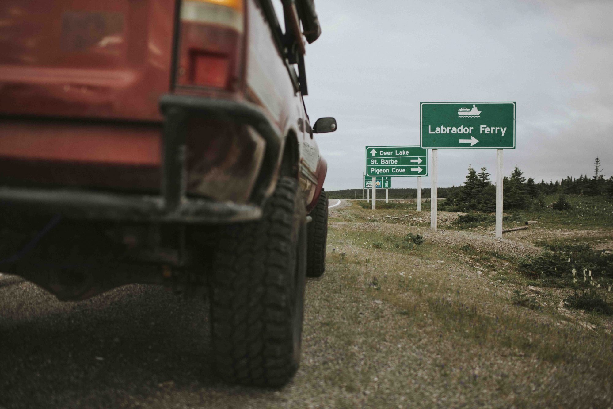
The Trans Labrador Highway, Labrador
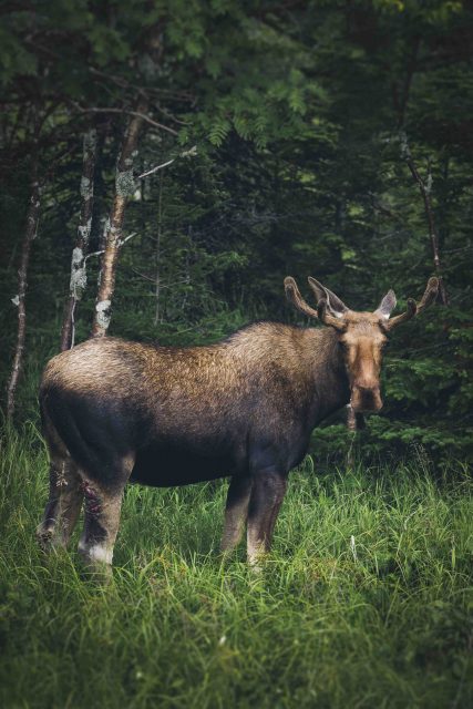
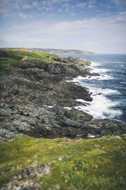
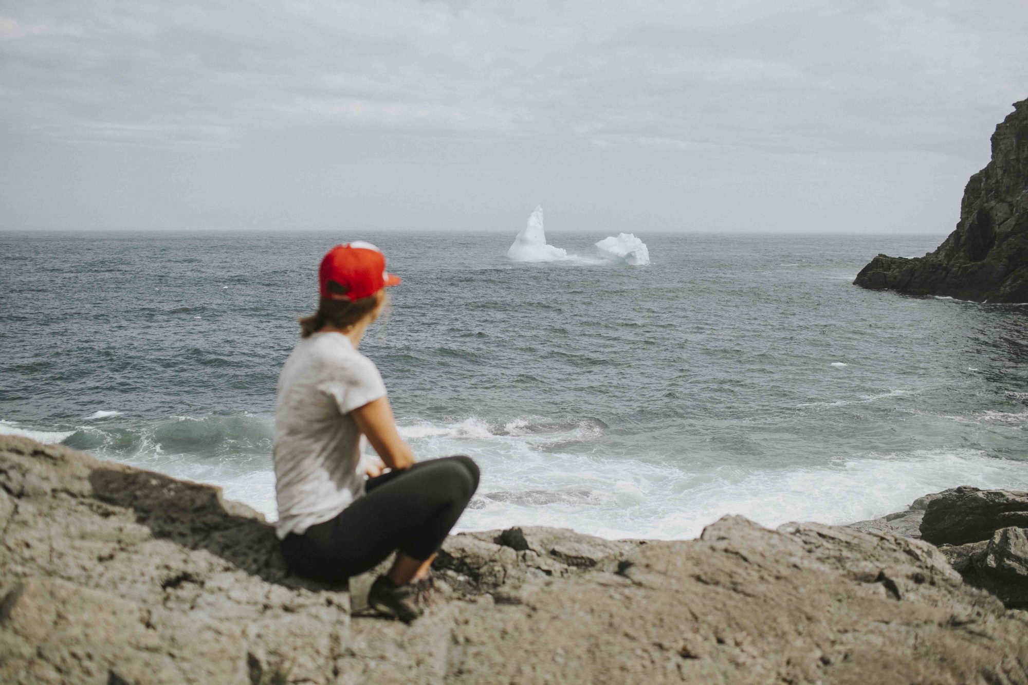
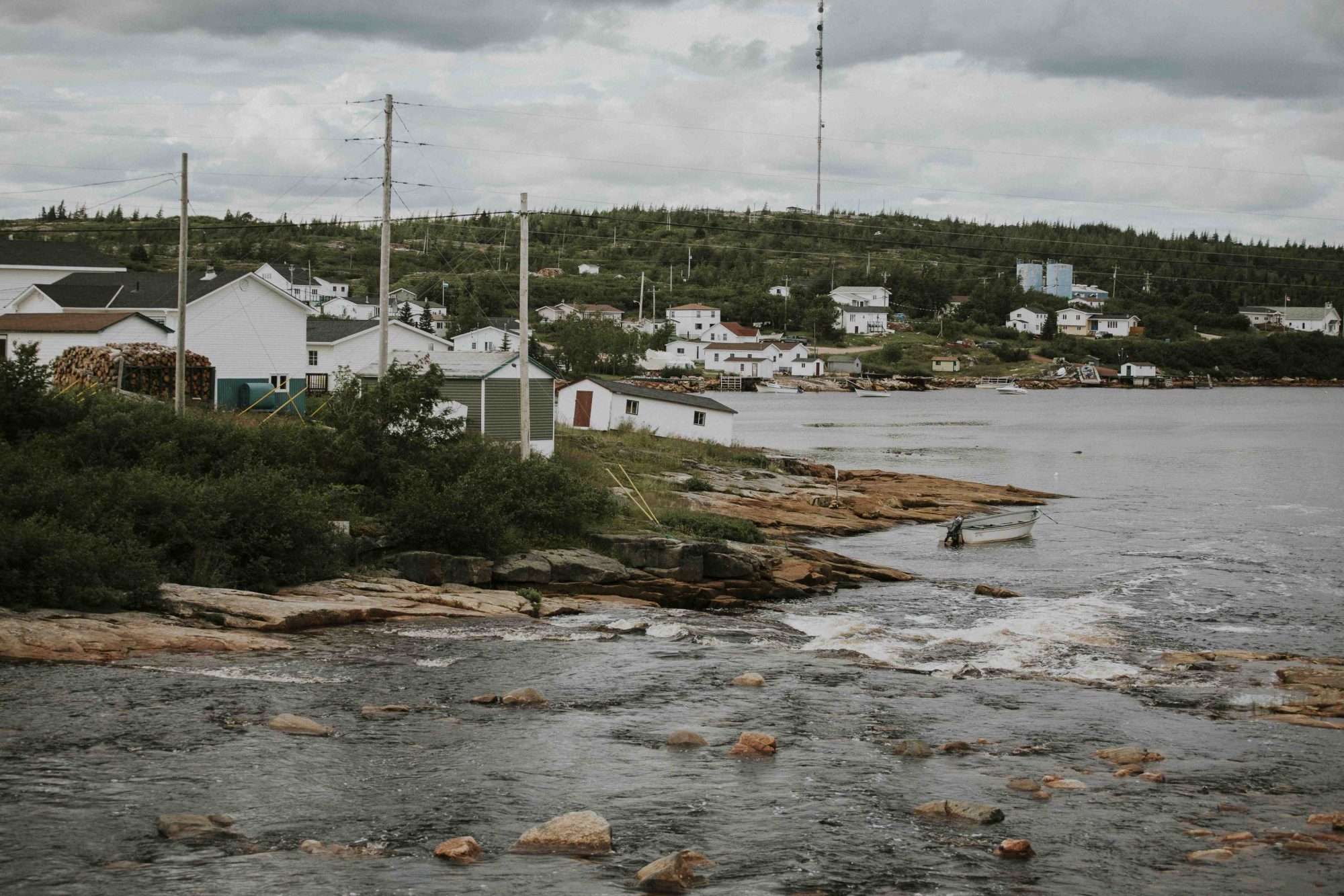
We started off our Trans Labrador Highway (TLH) trip on the island of Newfoundland in a little town called St. Anthony. This remote village on the northern end of the island is known for its transient icebergs and resident moose. Both will have you slamming on the brakes to take a closer look. To get to the start of the TLH you’ll first have to take ferry from Newfoundland to the region of Labrador.
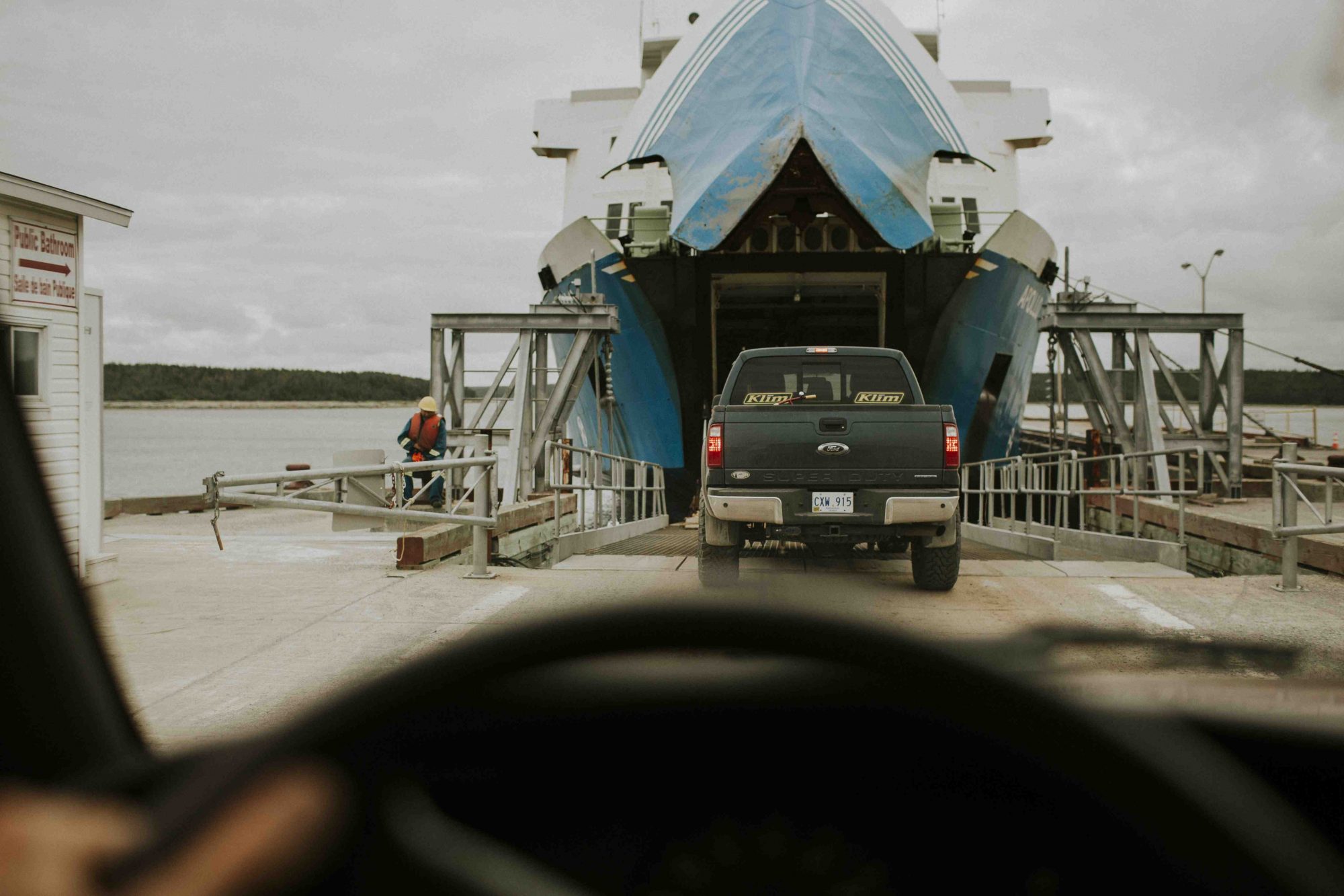
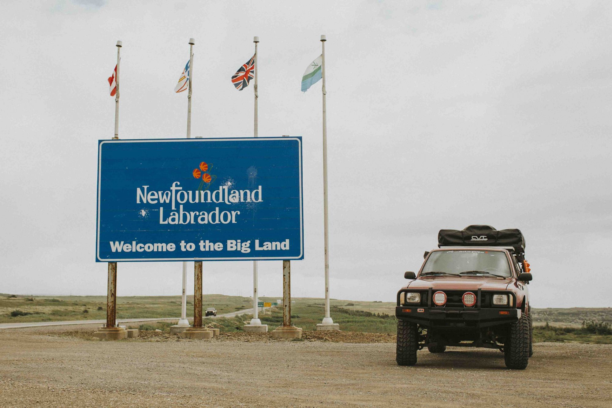
The TLH is the main road through Labrador. With a population density of 0.1 people per square kilometre, there are only few towns along the way. The rest of the region holds 1,250 kilometres of graded gravel roads, acres of untouched boreal forest, and thick clouds of relentless black flies.
Only 27, 000 people live in Labrador so that means the highway can be a remote and lonely road to travel on. Emergency services can take a along time to reach you, especially since there is no cell service outside of Goose Bay or Labrador city. The province loans out satellite phones, so we picked one up before venturing too far. I admit, a lot of our travels through South America were much more remote, but as the saying goes, it is always better to be safe than sorry. Plus, having the phone on board helped our moms sleep a little better.
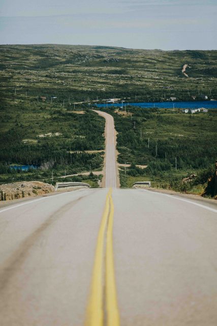
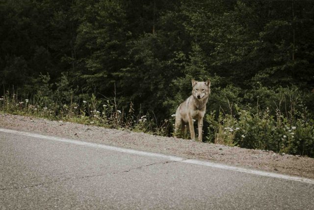

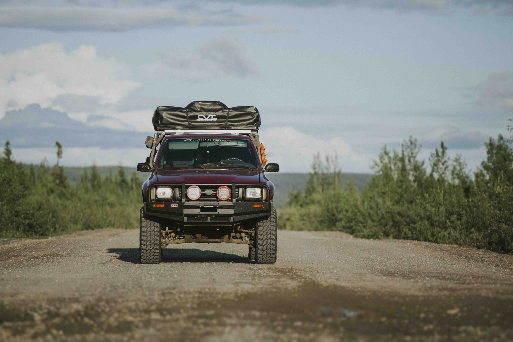
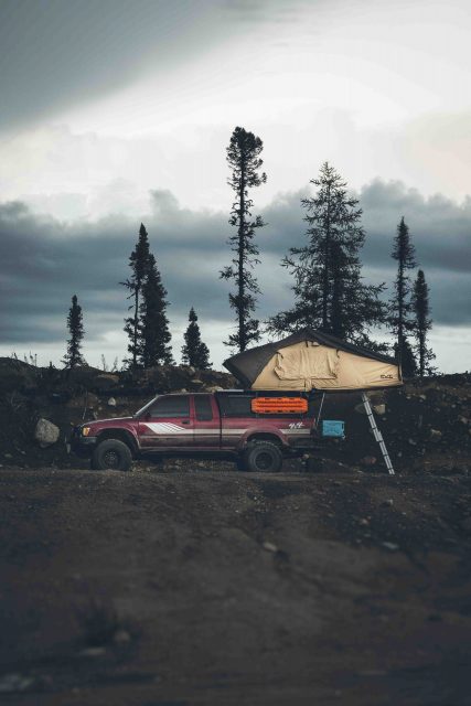
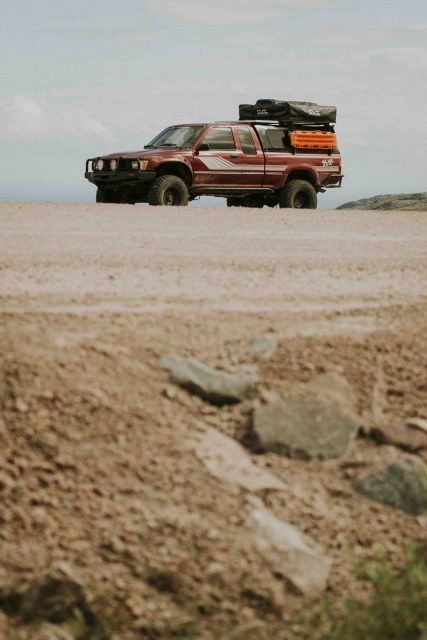
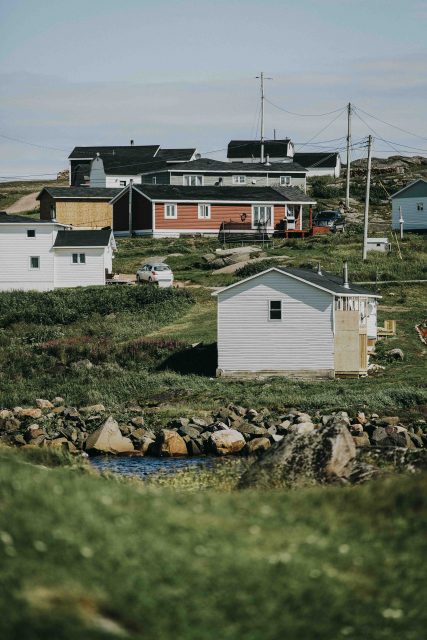

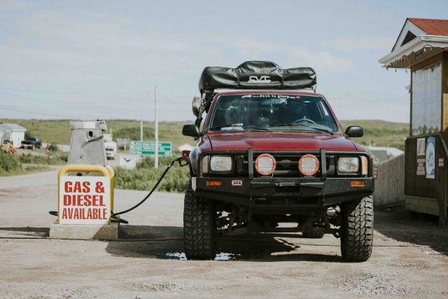
The gas stations can be few and far between on the Trans Labrador Highway. This was the first time since Bolivia that we carried extra fuel with us, and the first time since Argentina that we used these antiquated analog gas pumps.
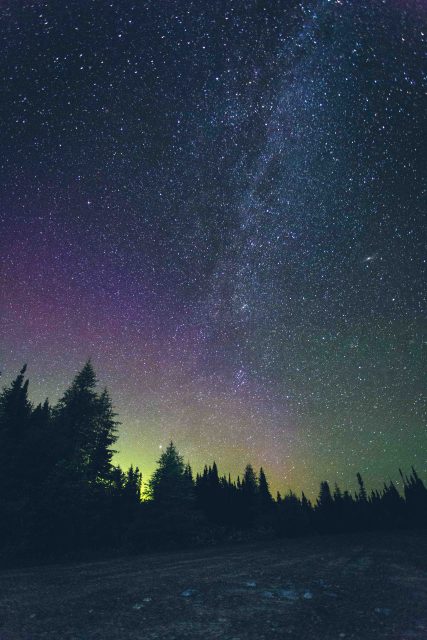
Travelling along the Trans Labrador Highway meant that our makeshift campsites were almost always beside the main road but still far from any town. These camp spots may not have been the most scenic during day, but once the sun went down and the stars came out the views definitely improved.
After four long days of driving we rolled into Quebec, ready for a hot shower and some of Montreal’s finest poutine.
Grey Creek Pass, British Columbia
Notable towns: Kimberly/Nelson
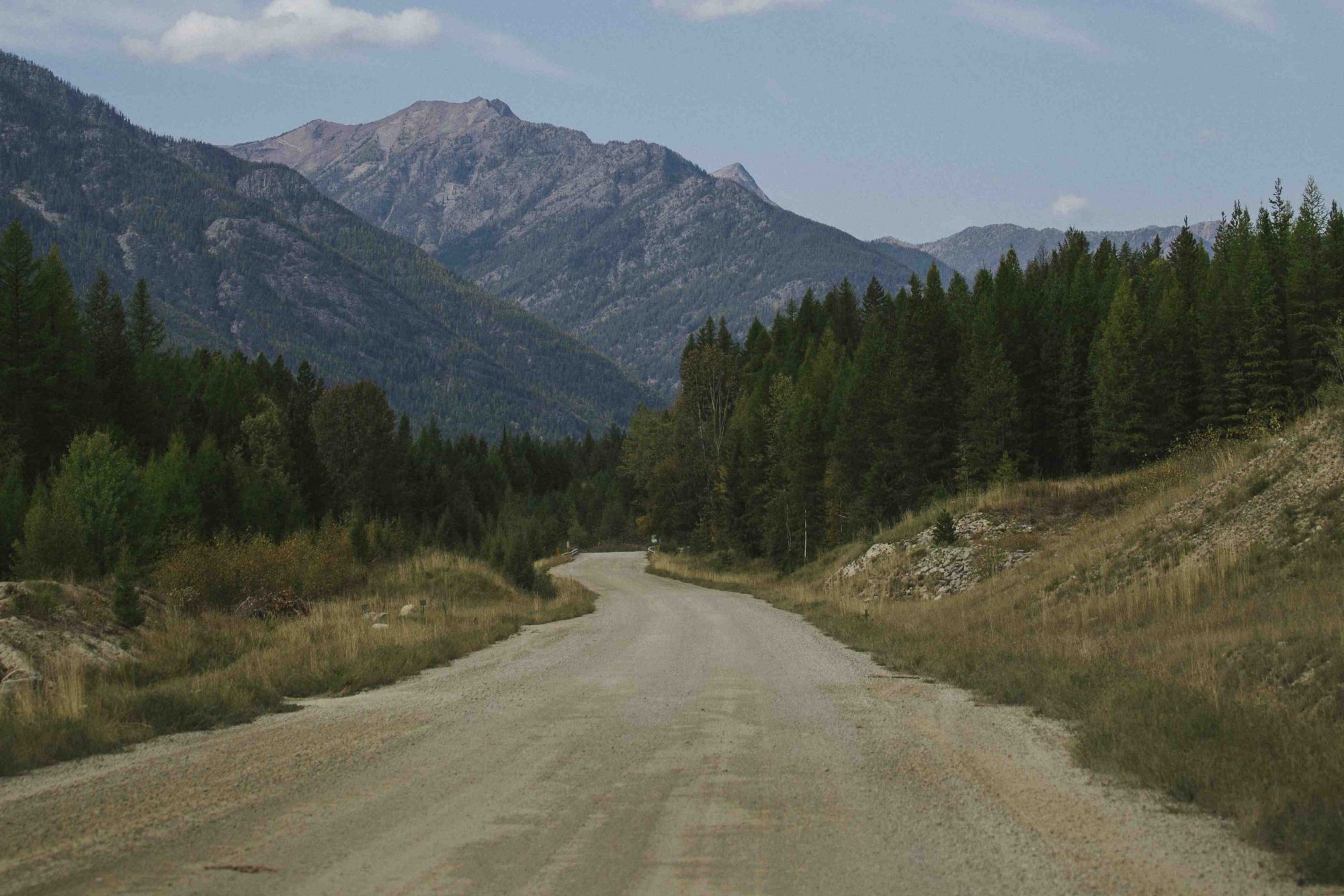
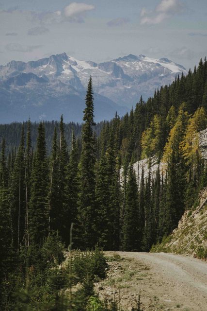
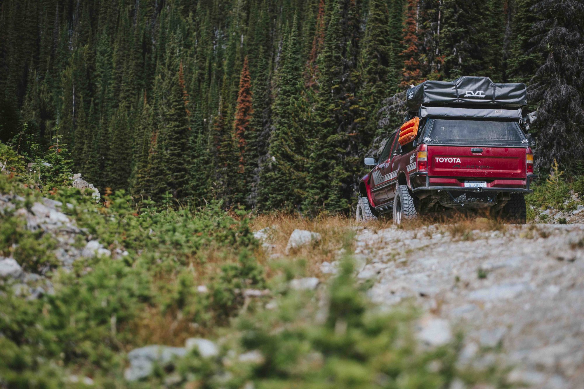
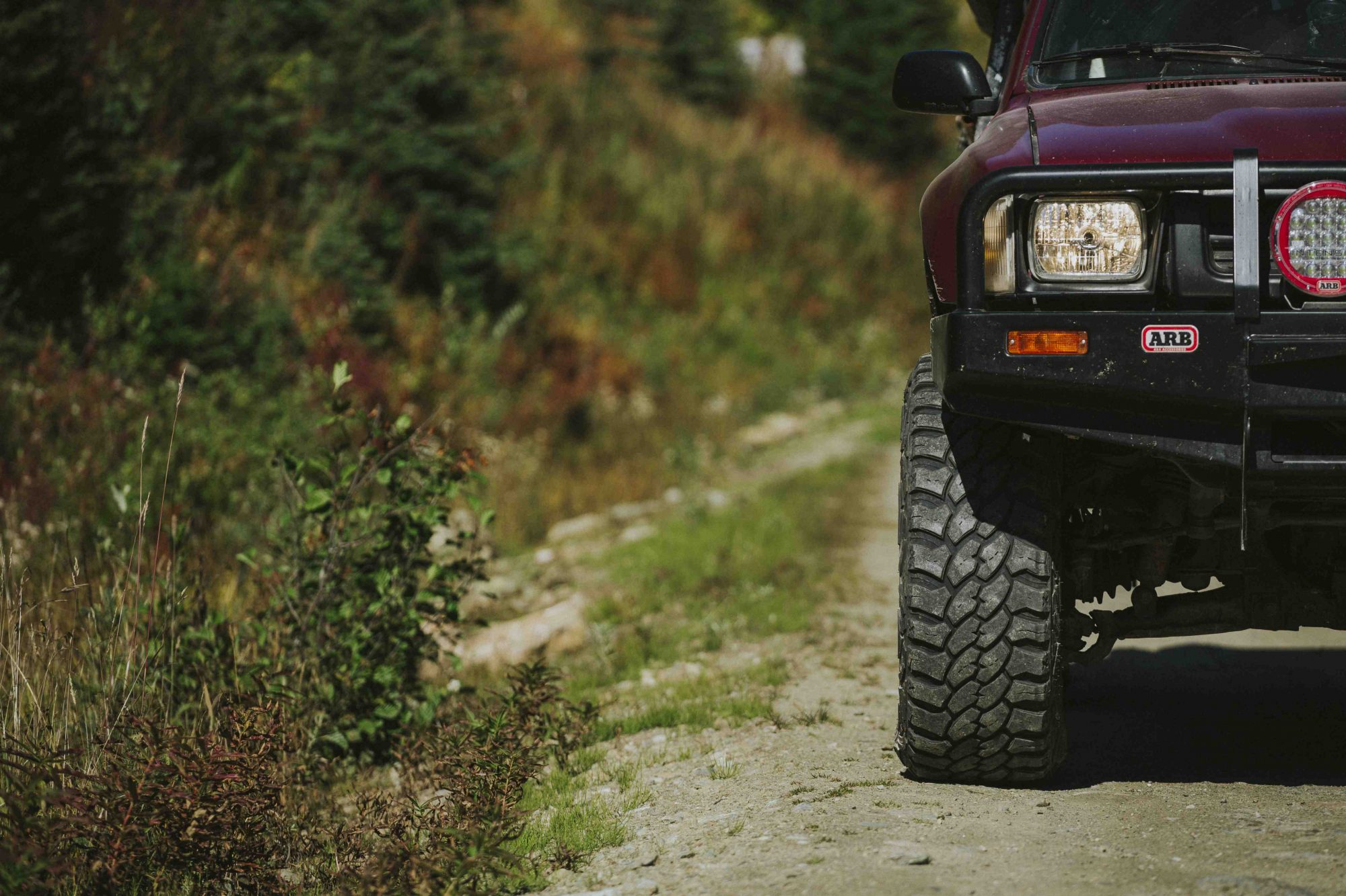
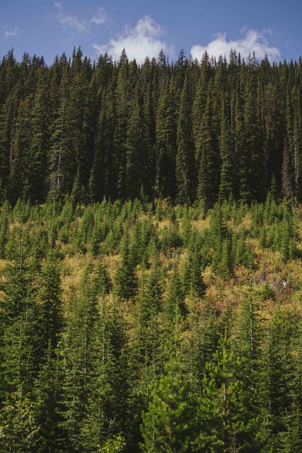
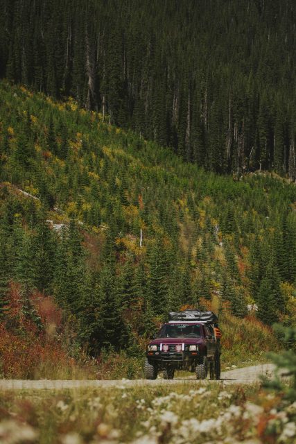
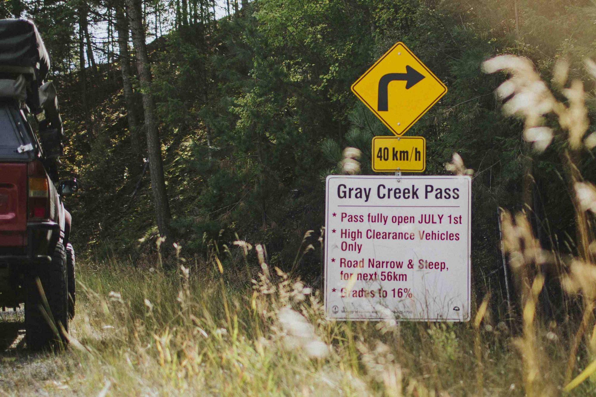
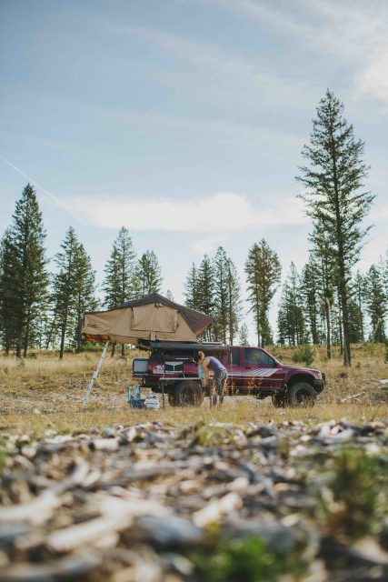
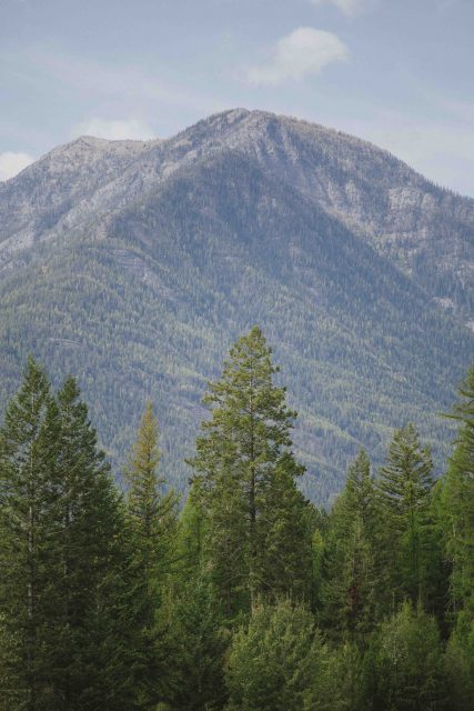
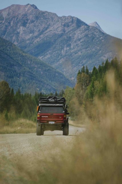
Gray Creek Pass is a 90km stretch of gravel road (dare I say, shortcut) that connects Kimberley and Crawford Bay. From Kimberley we followed St. Mary’s Lake Road to Gray Creek Forestry Service Road. The pass itself reaches 2072m (6800ft) before some steep switchbacks drop you down towards Kootenay Lake. We took a few hours to crawl along and gawk at the scenery before finishing the day with ice cream on the beach as we waited for ferry to Balfour. Although biased, we’d recommend making the trip during autumn when the leaves start changing colours.


Smith-Dorrien Trail (Highway 742), Alberta
Let’s be honest here. We absolutely loved our time exploring the Andes, but to get a taste for epic mountain ranges the Rockies are a much closer option for us. If the mountains are calling, you really have no excuse just to get in the car and explore Kananaskis Country and the areas surrounding Canmore, Banff, and Lake Louise. Don’t forget that the Parks Canada Discovery Pass is free in 2017!
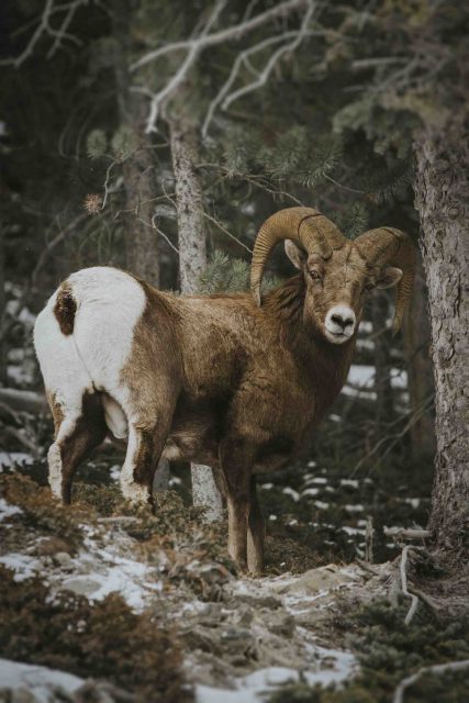
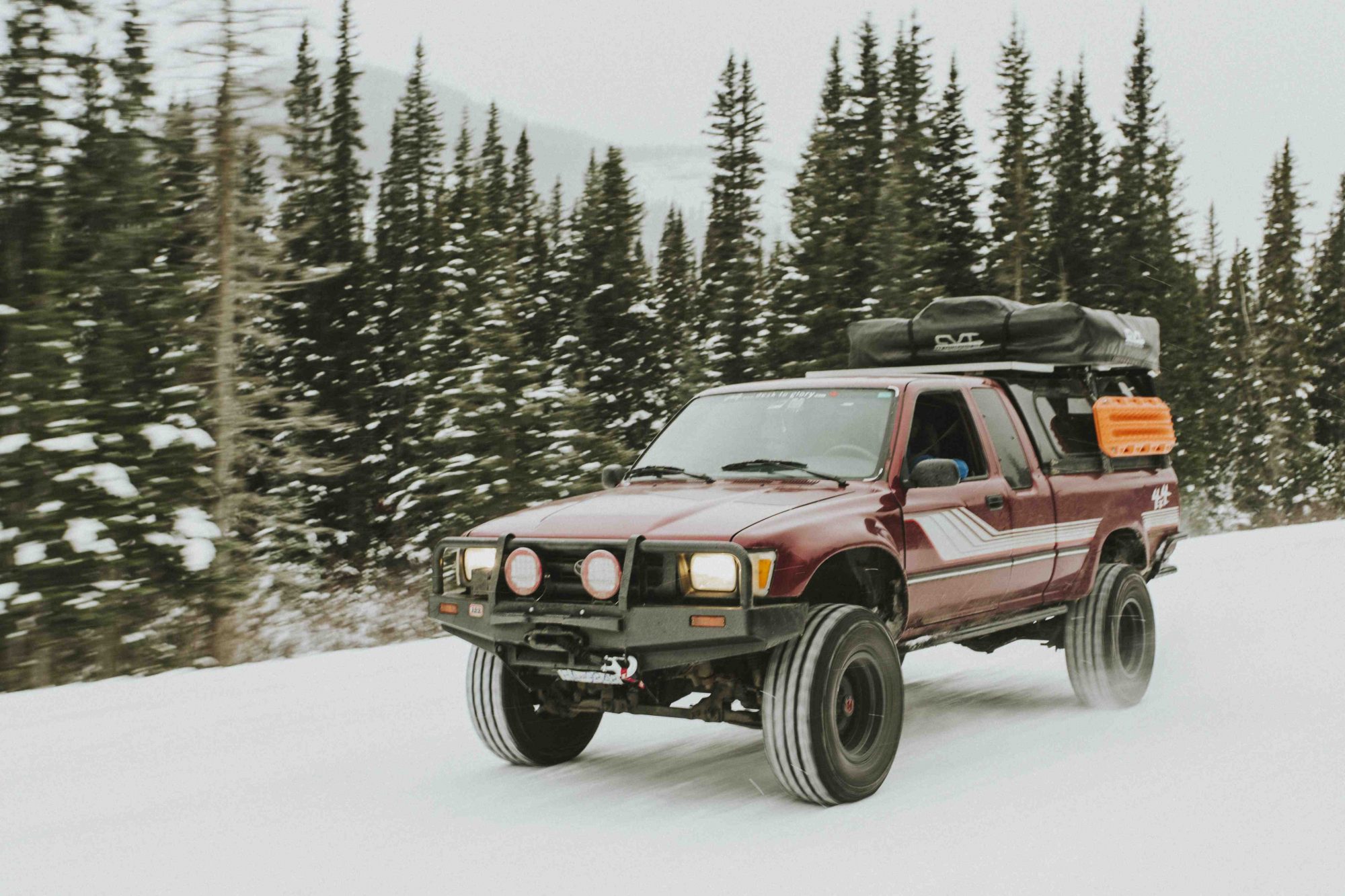
There are some great off-road routes in the area, but perhaps the most accessible for most vehicles is the Smith-Dorrien Trail. We started in Canmore and cruised south along yet another graded gravel road. It didn’t take long for the aforementioned road to be covered in snow and for us to meet our first local. A big horn sheep put on a little climbing show for us and posed for the camera before finally getting tired of us and meandering off into the woods.
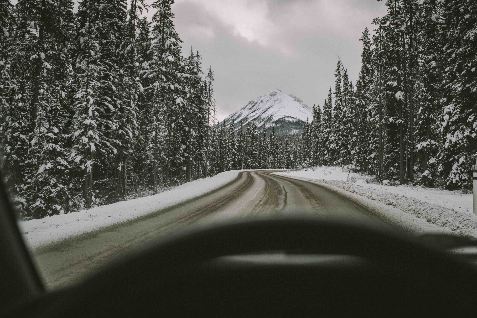
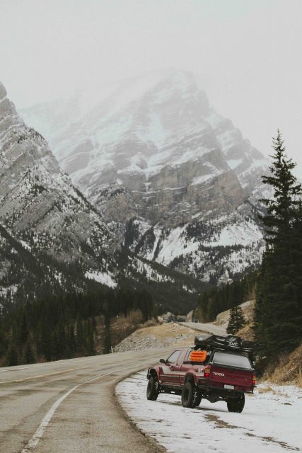
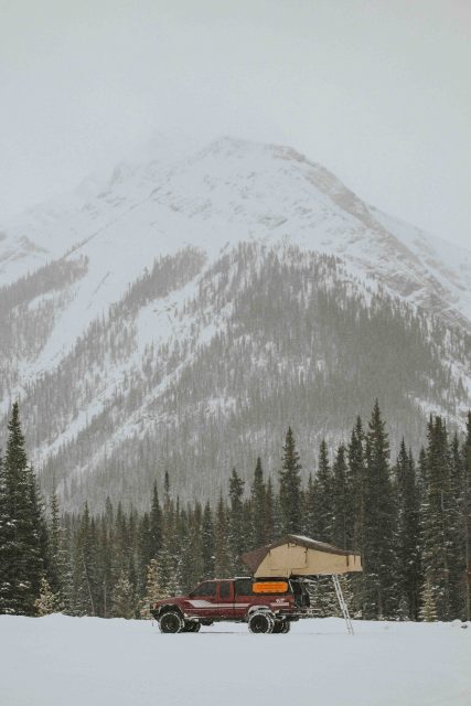

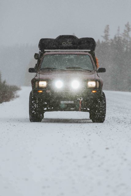
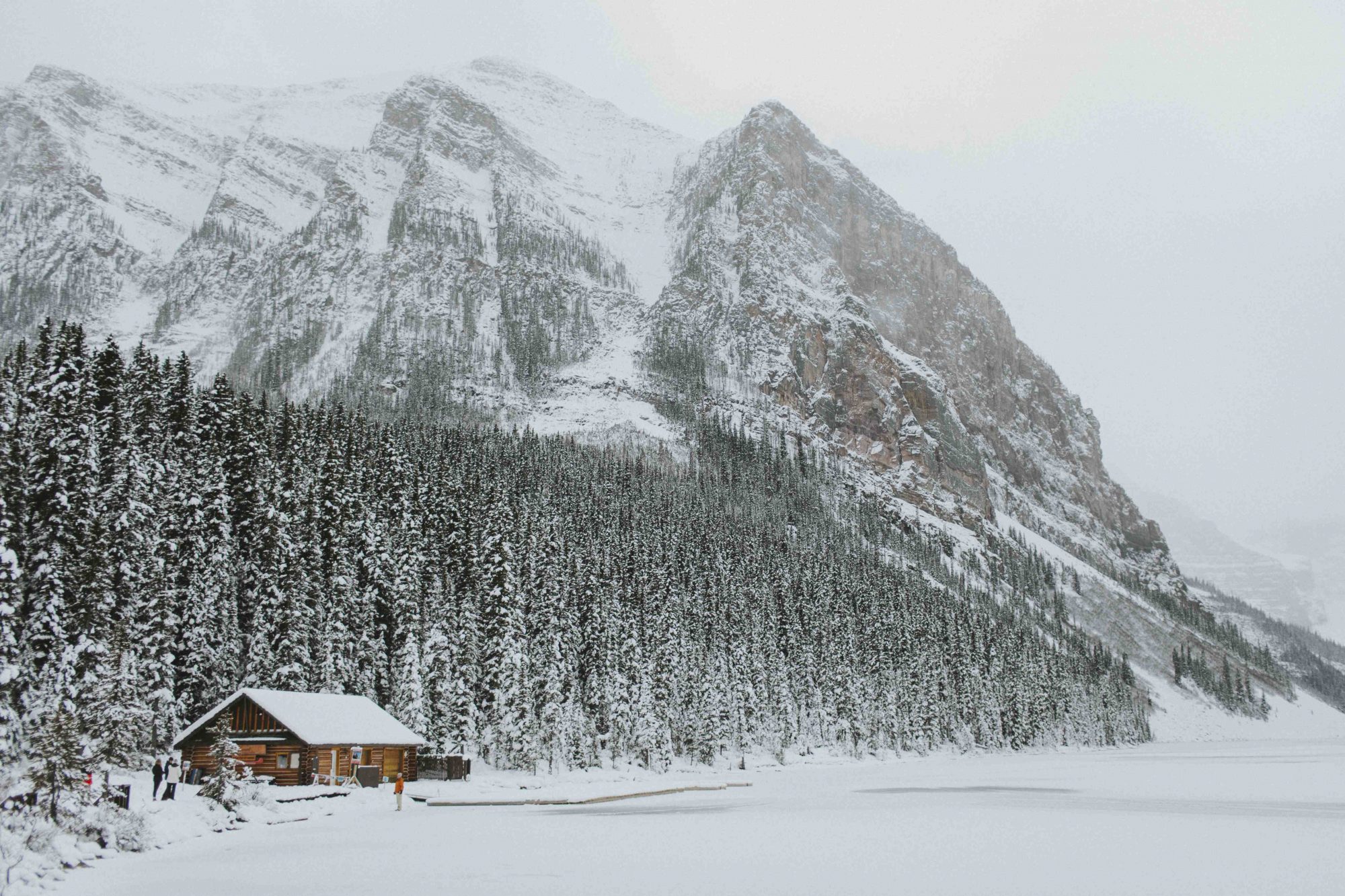
As we continued along the route, the snow fell harder and harder, and eventually turned the place into a winter wonderland. There are hiking, biking, skiing, and snowshoeing trails sprouting to the left and the right. We picked a sport applicable for the season and explored on foot… err, snowshoe.
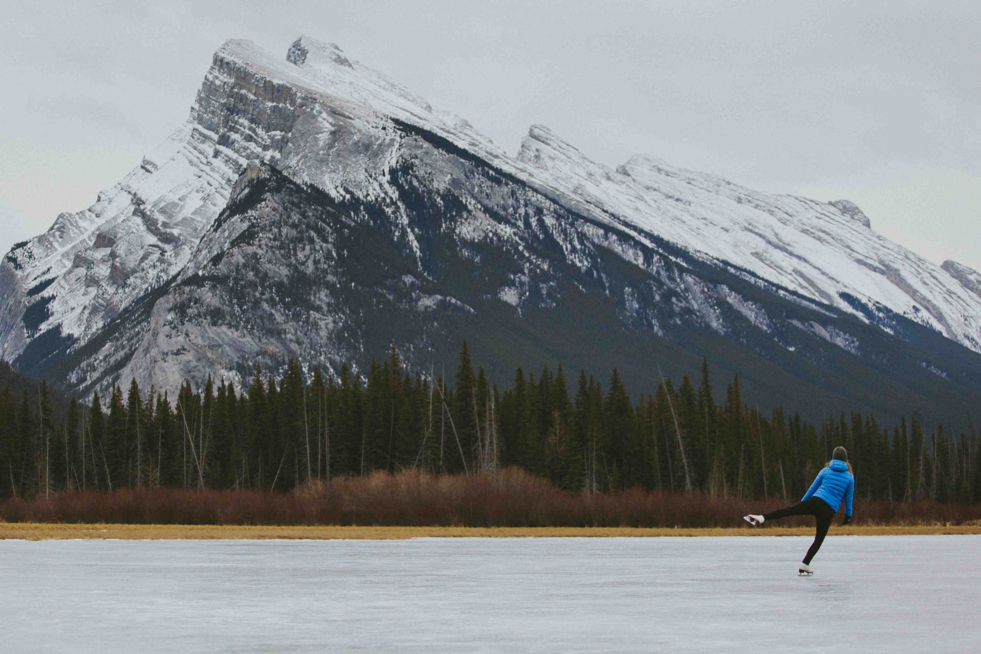
Eventually we continued on to Highway 40 (a paved road that had our faces glued to the windshield as we tried to take in all of the surrounding peaks) and returned to Canmore to stay in one of the local cabins. The following day we explored the tourist towns of Lake Louise and Banff and Ash put her ol’ figure skates to use on Vermillion Lakes and put on a show for few locals, Mount Rundle rising up behind us.


IG: @desktoglory


