B irds and animals had never seen humans, warblers flew to me and touched my face, a badger trotted up and sniffed my boot, coyotes sat watching me walk by, an antelope paced for a mile. In complete silence and isolation, it was like what walking on the moon must be.
Julian D. Hayden (1911-1998), from The Sierra Pinacate
I don’t remember which woke me first—the rain hammering against the tent, or the crack of thunder echoing off of the lava rock walls of Papago Tank. Regardless, I was up, fumbling for my headlamp, only to find it floating in a pool of water that had collected in the vestibule. Finding the switch and bringing light to my predicament, I discovered that my tent sat in a moat of rapidly collecting rainwater, filling the low spot in which I had pitched my shelter. This was northern Mexico’s Altar Desert, and the thought of flooding was the last challenge I expected our team would face. The adventure had begun, and the Sierra Pinacate was full of surprises.
The Goal
Our goal was to accomplish a north-to-south crossing of the Gran Desierto de Altar, which, combined with the Los Algodones, forms the largest dune system in North America. Vehicles would play a major role in the logistics of the adventure, but crossing the dunes would be tackled on foot. The entire dune complex is a part of a biosphere reserve, and crossing the dunes in a motorized vehicle is not permitted. The trek would also be completed to honor the explorers who came before us, principally William T. Hornaday and Godfrey Sykes and their 1907 expedition into the Pinacate. Our three-man team would be retracing Sykes’ 30-mile crossing of the dunes to the shores of the Sea of Cortez.
Godfrey Sykes was much like the members of our team: a regular man with a good range of outdoor skills and a deep desire to explore. He was a resourceful member of the team, with the role of geographer. Hornaday, in his book Campfires on Desert and Lava, records the events leading up to Sykes’ Altar crossing:
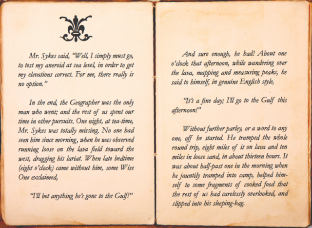
After reading every page of Hornaday’s fantastic account, I came to the same conclusion: I simply must go.
Driving on the moon
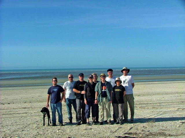
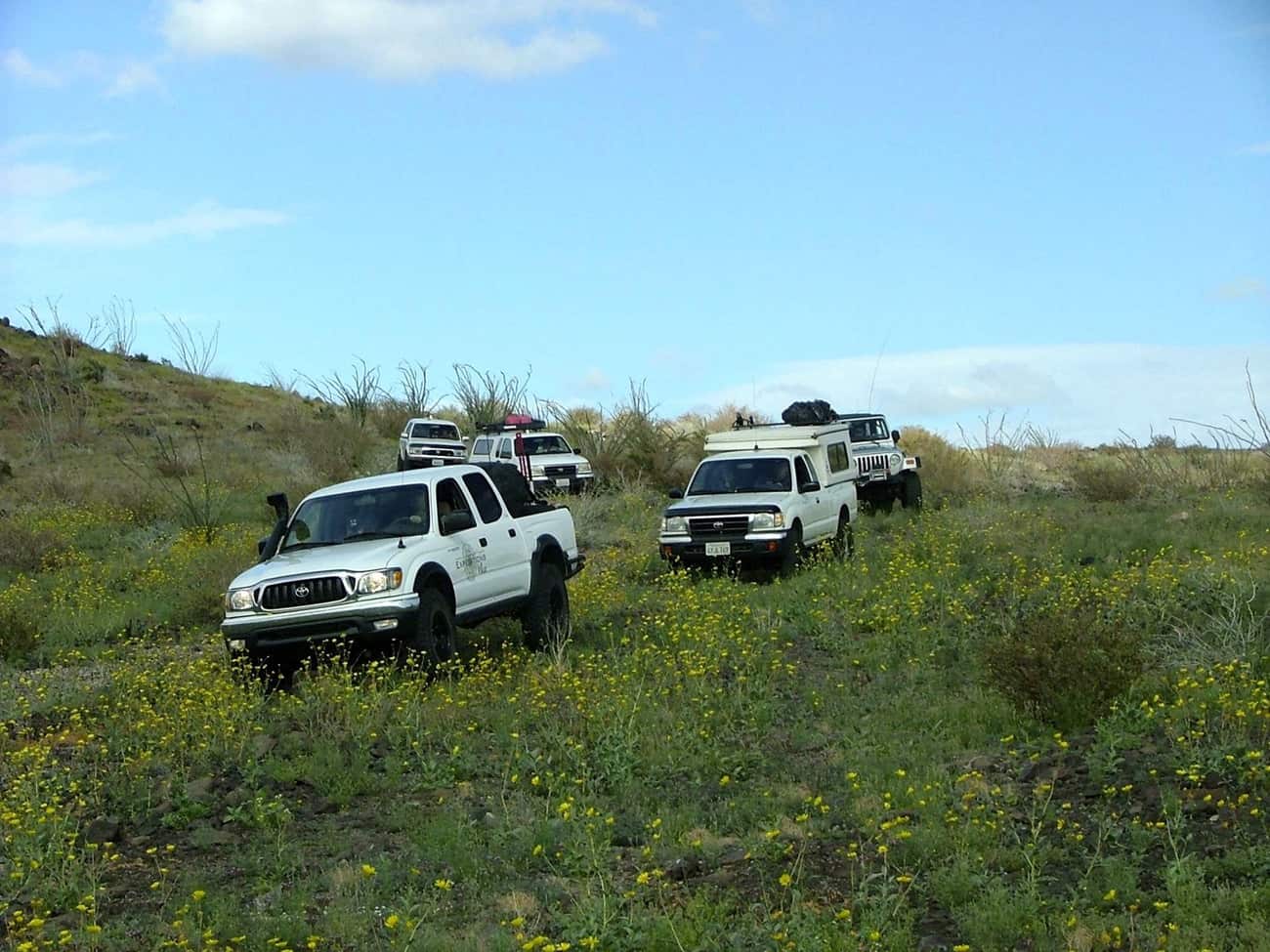
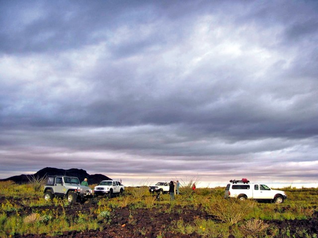
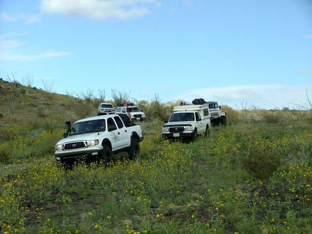
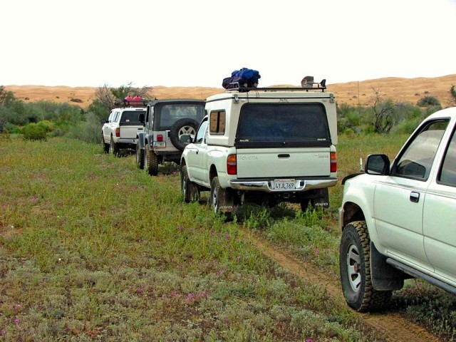
As with any adventure, success is facilitated by the quality of the team assembled, and the logistical efforts committed before ever leaving home. For the trekking team, the decision was easy, and with little prodding, Chris Marzonie (Overland Journal’s editorial director) and Uwe Luettringhaus were ready to go. For the support group, Al “Always Ready to Go” Walter took the lead in his Tacoma; his experience in Sonora would be invaluable. In addition, our team included Brian DeArmon in his Jeep Rubicon, and Vince Vogt in his FlipPac-equipped Tacoma. Chris, my wife Stephanie, and I would travel in our Tacoma double-cab, and Uwe, along with his wife Srisuda, would take on the Pinacates in their 4Runner.
With the team in place, we made plans for a late February departure, then secured Mexican insurance, performed last-minute modifications, and did our best to work on physical conditioning. Early the morning of the 16th, we left central Arizona and drove south to the border crossing at Lukeville. As would be a theme throughout our journey, our route closely mirrored the Hornaday expedition of 1907, including crossing southern Arizona from Tucson to the Ajo Mountains, where Highway 86 nearly perfectly retraces their route, with the small exception that 86 turns north along the Gunsite Hills to Why, where Hornaday’s team turned south just west of the Ajo Mountains. Hornaday’s trip took eight days by wagon train. Ours took three hours.
Arriving at the border is always one of the highlights of a trip, and even after dozens of crossings I still feel the excitement build at the first road signs announcing INTERNATIONAL BORDER. With a few minor inspections from the always-courteous border guards, we were on our way, driving through Sonoyta, which, as for Hornaday’s team, was our last outpost before entering the Pinacate. From Sonoyta, we continued west on Mexico Highway 2, which affords a spectacular view from the south of the Camino Del Diablo route, the Mohawk and Pinta Mountains, and the Pinta Dunes.
We accessed the Pinacate from the lesser-used north road, which (typically) requires a stop in at the Rancho and advising the caretaker of your intended route. According to the USGS Astronaut Geologic Field-Training records, this was the same access point for U.S. astronauts when they conducted lunar training in the Pinacate volcano fields in November 1965, and again in 1966, 1967 and 1970 (including members of the Apollo 13 crew).
The northern end of the biosphere provides 4WD access (at times coupled with a short hike) to a zone of the highest concentrations of maar craters in the world. The craters are phreatic eruptions, formed by sub-surface water becoming super-heated from contact with magma or lava.
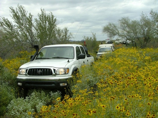
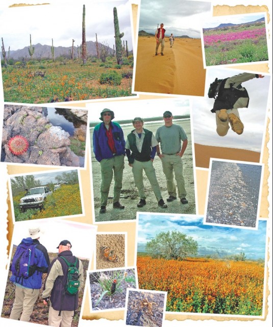
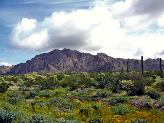
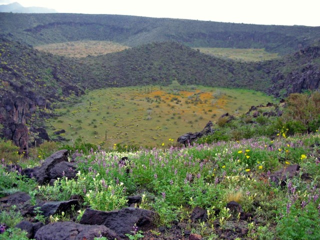
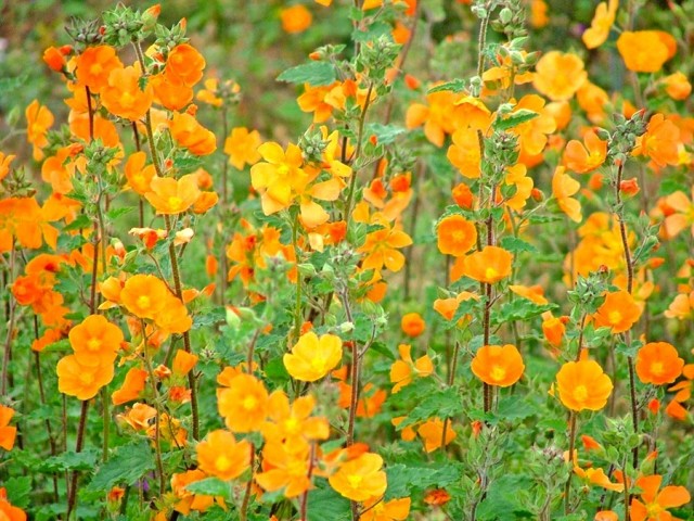
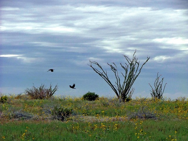
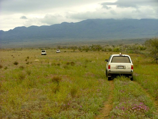
A series of unimproved trails connects most of the craters, which bear names from the Hornaday expedition, including MacDougal and Sykes Craters. Winter rains had brought the desert to life, and the area we expected to be parched and lunar rewarded us with six-foot-tall, brilliantly orange mallows intermixed with purple verbenas and glowing white evening primroses. The air was sweet with the scent of moistened creosote, and our progress slowed as the photographers captured the spectacular, rare bloom. Our first stop was at Papago Tanks, where Father Kino had watered in 1698. Navigation became a significant challenge after Papago Well, as the track was disguised by a sea of color, on several occasions requiring spotters to search for the route on foot.
Tule Tank
One of the most enjoyable aspects of adventure travel is the research, poring over old texts and maps to piece together a historic route or determine an explorer’s campsite locations. The critical piece of information for our expedition was to find Tule Tank. Knowledge of this area is sparse, and there are maybe a handful of people alive who have sufficient knowledge of the Pinacate, at least to the extent that they would know, and be willing to share, the location of unmarked but historically significant tinajas—natural water holes or “tanks,” in western English vernacular.
Fortunately, our team runs in good (and resourceful) company, and during a prior exploratory trip to this region, Al Walter and Bob Steichen had acted on several clues to explore a side trail, where they found Tule Tank. These water sources were as essential to the survival of the Hornaday party as they were to the Malpais people, who occupied this region an estimated 9,000 years prior. For us, Tule Tank was a key piece to the story, as it was the starting point for Godfrey Sykes’ trek to the sea. Tule would also serve as our camp for night one.

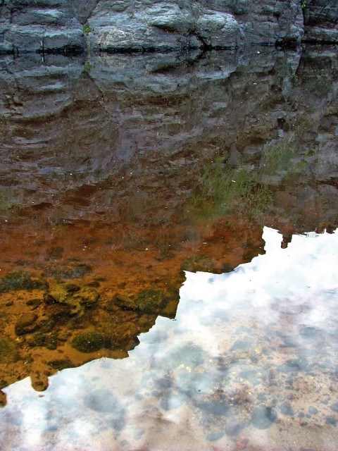
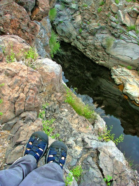
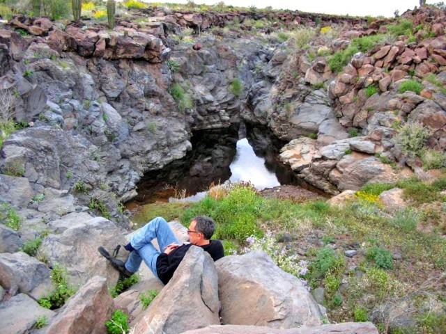
The last few miles to Tule involved the most technical driving we had encountered in the area, as it required turning east off of the main track and farther into the foothills of the sierra via a smaller track. Several pronounced lava fins broke the rhythm of the trail, and our convoy slowed. Loose boulders demanded a fine touch on the throttle and lower air pressure to prevent them rolling out from under the tires and grounding the vehicle. Within a half-dozen miles, the track terminated on a small mesa, and just beyond it a crevice cut through the magma’s surface where it captures the watershed of Cerro de Santa Clara.
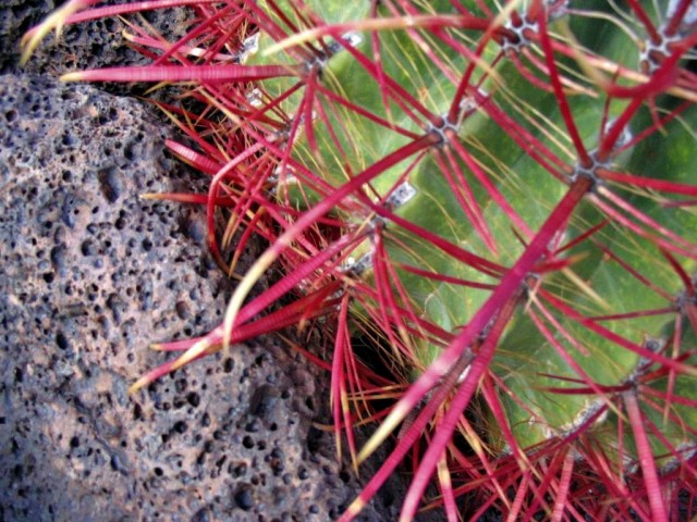
Within moments of leaving the truck and walking to the tank’s edge I was struck with a sense of connection to the place. It seemed intimately comfortable and familiar, which in a way it was, since I had read every available text on the location and spent several anticipation-filled months daydreaming of this adventure. The tank was large, like a huge, rectangular swimming pool, and quite different in structure than Papago Tank, with its entire contents confined to a single, deep pool. A sandy approach lined the southern end, the slightly muddied surface revealing the footprints of sheep and a small cat. The rocky rim was as much as 15 feet above the water’s surface in places, and lined with palo verde trees and barrel cactus. From even 100 yards away, a passing traveler would be completely unaware of this life-saving oasis.
The Pinacate Route
The following day’s trek would entail two parts. Uwe and I would trek four miles across the lava fields to the edge of the dune field, where we would be joined by Chris. The three of us would then hike approximately 10 miles over the dunes to the sea. In preparation, Uwe, Chris, and I had gorged on whole wheat pasta with homemade marinara. Within moments of retiring to the tent I was asleep (a genetic gift from my mother, to which my friends can attest, or detest, depending on their own ability to fall asleep). But revenge came quickly for my slumber-challenged compadres, in the form of that driving rainstorm, complete with thunder and lightning. Rain, of course, was the furthest thing from my mind in the Pinacate, and I had blithely pitched my tent in a small area cleared of stones, but also the low spot on the mesa. Disaster ensued. My one saving grace was the fact that I have a penchant for high-quality gear, and my Sierra Designs tent didn’t leak a drop, despite being surrounded by a pool of water nearly the depth of the door zippers. It was almost dawn anyway, so I prepared for the trek, pulling on my boots and slinging my pack over my shoulders. With one big leap, I managed to clear the moat and duck under the vestibule in the same stride, and stood up to the widely grinning face of my German trekking partner.

The rain had slowed to a heavy mist and it was time to move. Uwe and I verified a few minor details, loaded our map, with Sykes’ route overlaid on it, into a rainproof sleeve, and fired up the GPS. A quick radio check of the hand-held two-meter and we were off, working our way south along a deep canyon that separated the Sierra Pinacate from our current position. Our route was actually flanked by canyons, although the one to our right was relatively shallow. The thin ridge we were walking on was a perfect corridor for traffic between the tanks and the edge of the dunes.
The suitability of the route had obviously not been lost on the ancient travelers in this area, because a well-defined path emerged from the dense lava-rock-covered plateau, the stones moved to the side millennia ago to accommodate the traders trekking from the Southwest to the salt flats that line the northern shores of the Sea of Cortez. As Uwe and I walked these ancient trails, we were again impressed with the sense of walking among the ancients, the indigenous peoples who survived in this intensely dry and harsh landscape. We considered the difficulties those travelers would have faced, trekking in grass sandals or barefoot, carrying water in pottery ollas or skin bags, clothed in the most simple of garments; the contrast with our comfortable hiking boots, lightweight gear, and high-tech clothing was not lost on us. At several points along the path we found shallow fire rings and even larger rings cleared of stones, most likely used as camping spots.
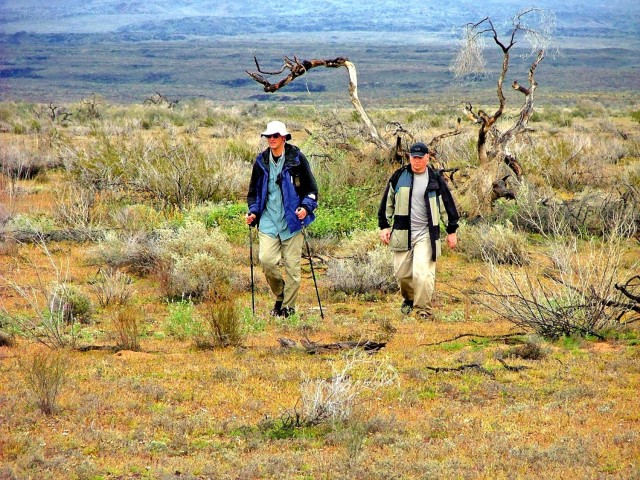
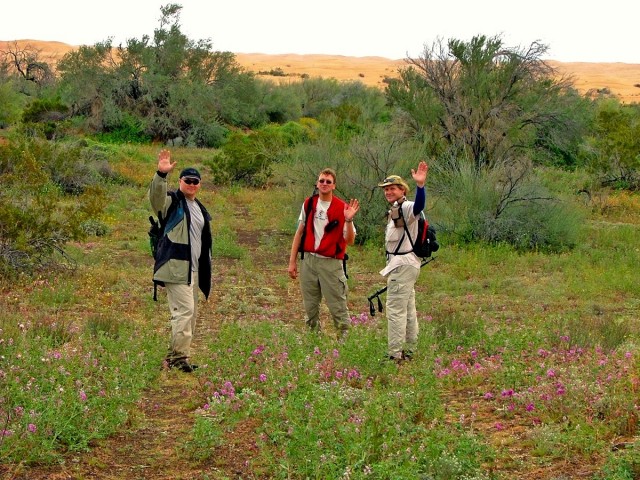

Our progress slowed at the confluence of the two canyons, and we searched for a way down. Selecting the smaller of the two canyons, we scrambled to the wash bottom and then back up the steeper far side. Our movements were deliberately cautious, respecting the remote area we were traveling in and the extreme distances that would be required to get help from our team.
Our goal was to trek the 4-5 miles to the “Sick Spring Trail” (named for a broken leaf spring found on a previous trek to the area), which traverses the narrow gap between the lava field and the dunes. With near-perfect timing, Uwe and I crossed a wide, grassy plain to the waiting vehicles. We jumped in the trucks and moved south for about two miles along a 4WD track that leads to the base of the dunes.
The Altar Dunes Crossing
Al and the vehicle team dropped Uwe and me at the dunes, where Chris joined us. Both the trekking team and the vehicle team would be engaged in a serious undertaking. The vehicle team would need to cross a little-used overland route through the lava fields, a route that had caused significant vehicle failures in the past. Their role was to cross the lava and connect with Mexico Highway 8, north of Puerto Peñasco. After refueling, the group would continue south and then leave the pavement again for the westerly route along the rail tracks. Hopefully, if all proceeded to plan, the vehicle team and the trekking team would rendezvous at the rail line.
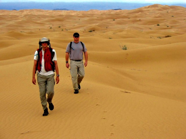
While the previous evening’s rain had dampened our progress in the morning, it was about to provide our team with a significant advantage. The rain had soaked into the surface of the dunes, firming up the top layer and making climbing the dune faces much easier. By the second dune ridge, all evidence of the Pinacate lava fields was gone, and there was no view to the coast either. We were surrounded by a sea of sand, dune mountains rising hundreds of feet above our position. Yet the dunes were far from lifeless, dotted with tracks of large birds, lizards, and beetles. The sand varied widely in composition and shape, the large ridges punctuated by small wave patterns, some sweeping up the side of a windward face for 100 yards or more. Deep, sheltered bowls provided an anchor for a great variety of vegetation, including the beautiful and poisonous sacred datura. Various shrubs and plants were in full bloom, taking advantage of the rare moisture.
Progressively, the dunes became smaller, and we got our first glimpse of the sea. It was quite a milestone for us, and quickened our pace as we attempted (poorly) to glissade down the last large dune face. The dunes give way slowly to a long, flat, sandy plain, which gradually yields elevation toward the sea. We could see the waters of Bahia Adair and small segments of the soda deposits in the distance. I considered what Sykes would have thought as he neared the coast, having traveled with none of the modern conveniences, no radio, no Camelback water bladder, no technical clothing or lightweight trekking boots. His accomplishment impressed me most while walking in his footsteps, and I was furthered humbled by the knowledge that we had only completed half of his journey, that Godfrey would have reached the water’s edge, taken a few aneroid readings, and then turned around, trekking another 18 miles back to the camp at Tule Tank.


My wandering thoughts were quickly broken by Uwe announcing that he had found tire tracks. At first we thought it was some random off-trail incident, but soon we found a series of wooden stakes set in the sandy soil, bright pink ribbons tied around the top of each post. These were survey markers, signaling the planned roadway that would bisect the Altar and herald a new era of access for vacationers to the northern coastline. We had celebrated a centennial anniversary of these great explorers’ trip to one of the last remaining blank spots on a map—a true tierra incognita, or unknown land. Chris, Uwe, and I were likely the among the last explorers to cross these great dunes before the road was built. Times are changing in the land to the south, and the time to explore its treasures is now.
