
This well defined 4WD track drops down from S22 (N33 16.871 W116 05.791 NAD83), about 18 miles from Hwy 86. There is a signpost that describes the activities in this area during WWII. The US Government assigned specialists to this area to explore the rich calcite deposits known to exist there. The area is also rich in geology, with unique erosion, tectonic and conglomerate features.
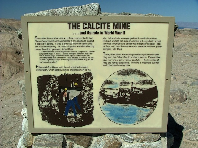
The trail sign, located directly off of S22.

The trail crosses the South Fork of Palm Wash within a few hundred yards of S22, and the route is indicated by a 4WD caution sign. The trail begins to climb, passing a few narrow, off-camber ledges.
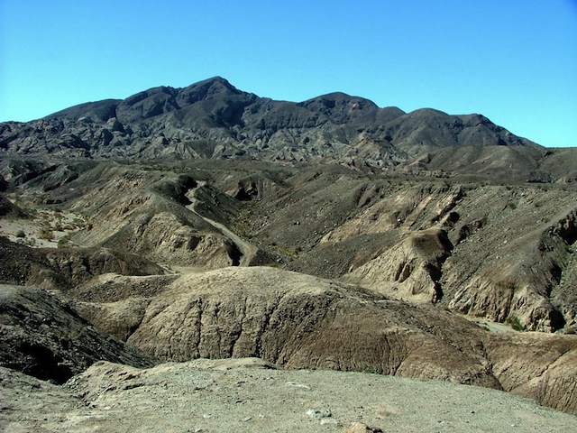
This is a view of the trail, winding its way to the Santa Rosa’s.
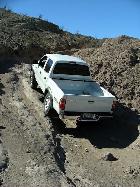
One of the more difficult and eroded sections of the trail. The line to the right requires more clearance and traction. The line to the left is quite off-camber. This is all within the capability of an aggressive stock SUV.
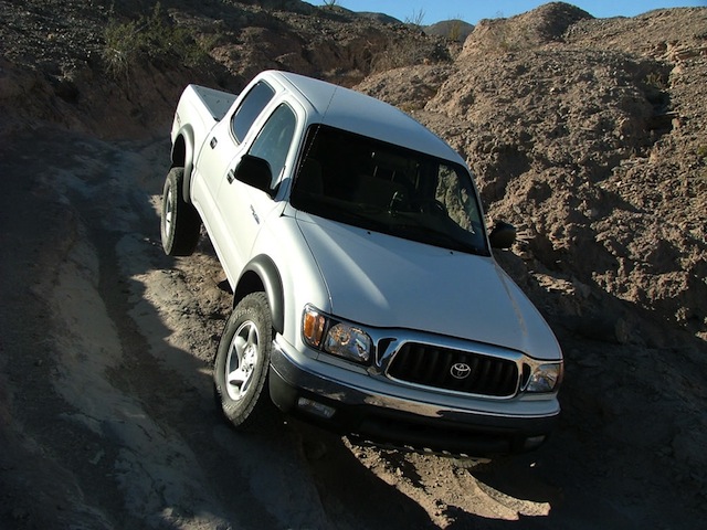
This picture shows the same eroded section of the trail on the return trip. The truck lifted the rear wheel about 10″ off the ground. I did take an aggressive line (for effect).
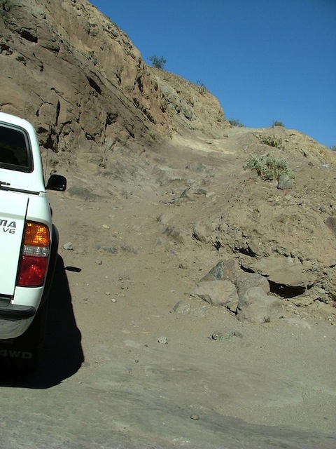
This picture shows the most difficult portion of the trail. It is a steep, rocky shelf with medium sized rocks and formed ledges.
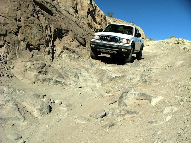
This picture shows the same obstacle viewed on the return trip.
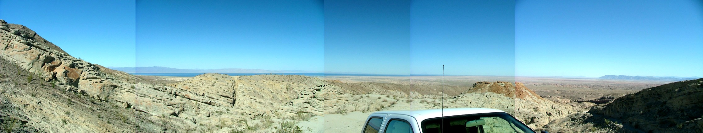
The view from the mine, east towards the Salton Sea.
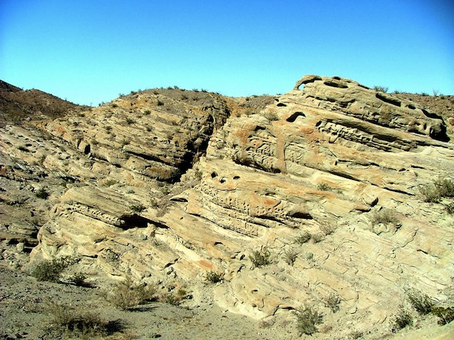
A view of the Pliocene Canebrake conglomerate (Dibblee 1954) of the Neogene Strata, forming the western deposits of the ancient Salton Trough.
A nice “parking spot” near the mine.

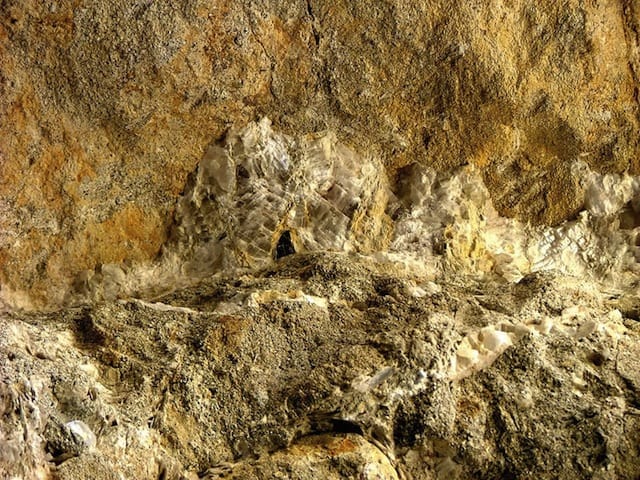
The scientists that investigated this site determined that the calcite veins in the Santa Rosa Mountains contained optical grade calcite, which is also known as “Iceland Spar”. This extremely pure and most;y colorless rhombohedron (a near cube) form of calcite was used in the sites of gun turrets. The most amazing function of the calcite is its crystal (you would see a double image). You can only see one image at perfect parallel to the c-axis. This provides the benefit of allowing the bomber gunners to ensure that the gun was “on target”. If they see two images, they were off-axis, and would miss.
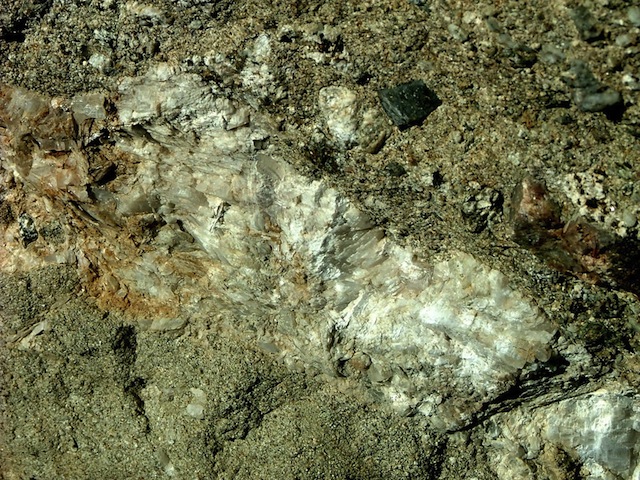
Another calcite vein.
Trip Details
Date:
- 4/30/2004
Trail Time:
- 2 Hours
Location:
- South of Indio, just west of the Salton Sea on S22
Mapping / GPS / Waypoint File:
- .gif Map Image (
- ) (
- ) /
- Waypoint and Track,
Topozone MapTrail Rating: 2.5 (1-5 scale):
- 3
Major Obstacle:
- There are a few off-camber rock climbs, and one rock shelf that will require decent ground clearance, and possibly a traction device. I was able to drive the entire trail without using the rear locking differential.
Brush (minor, moderate, severe):
- Minor
Scenic Value (1-5 scale):
- 3: The landscape is very unique in this area with heavy rill and gully erosion, and very little vegetation. The view east towards the Salton Sea is impressive.
Attendees:
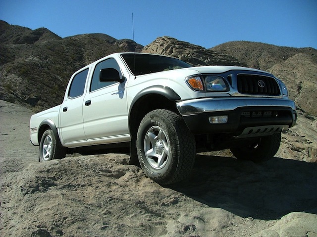
- Scott Brady- 2004 Toyota Tacoma TRD Double Cab