

To honor the 20-year anniversary of Overland Journal, we are revisiting special heritage content in the upcoming 100th issue of the magazine. Originally published in Overland Journal’s Fall 2026 issue, this article is part of that celebration.
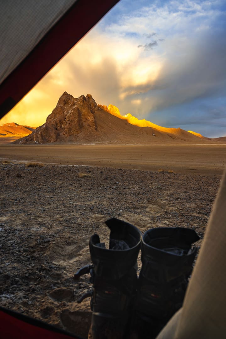
Calm, steady breaths accompanied my evening survey as I looked out at a vast expanse, hemmed in by the rise and fall of a russet mountain silhouette. The features mirrored the map I was holding, confirming our position. Over the horizon was a vista just like it, and beyond that, yet another, a repetition of open wilderness that we’d been crossing for days. The motorcycles and our nylon domicile perched below me were mere specks, distinguished only by their contrary colors. It was breathtaking; the atmosphere, mainly, but also the view. Full lungs would not satiate my need for oxygen at this elevation, and I’d given up on the attempts for the pain it caused. The air was so desiccated that every inhale felt like a rasp dragging through my throat.
A barely audible rumble propagated in the distance, and I wondered if the storm would stay in the periphery, like the whisper of a headache lurking for hours. Or would it visit doom upon us, like the migraine and nausea rendering my partner, Kira, tent-bound since we rolled to a stop. With my survey complete, I took care in folding the map, which had become restless in the wind. Not for fear of ripping the paper, but to avoid reopening the bloody cracks that had developed on my dry fingers. We’d succeeded in getting ourselves into a position to suffer the bitter elements, but this wasn’t the goal, just a side effect of the region. We were in a remote extremity of Central Asia’s eastern flank, a place once known as Bam-i-Dunya, the Roof of the World, and we were nearing a point of no return.
It was the first of many potentially impassable detours, wispy lines singled out from their bolder counterparts on our latest treasure, the chart I’d just folded. Finding a good paper map abroad is rare, and each time we do, I feel as if we’ve come into possession of a long-lost artifact, beckoning for a quest. Arguably, the applications at my disposal are more detailed, better equipped with pertinent information, and far more convenient. But lately, I’m finding the only ease my smartphone offers is the ability to zoom in and out, easily detaching myself from the scale of our surroundings. Not to mention inundating us with the when, where, and how to see a place while the GPS holds my hand to cross the street, making sure I don’t talk to strangers along the way. The paper version, on the other hand, is unbiased and offers a big picture with a stage wide open for unbridled discovery. It’s a two-dimensional option with no promises offered in the form of curated pictures, bygone experiences, or current opinions—spoilers that my digital companion never fails to put forth.
There we were, sequestered at an uncomfortable elevation and facing a high probability that our route would fall flat this early in the season. We’d opted to consult locals instead of the screen to avoid inaccurate assessments, but the old-fashioned approach can have flaws as well. Ultimately, our well-being had to rest on our own judgment, a point emphasized the following day as we pulled into the small hot-spring hamlet of Dzharty-Gumbez. The lonely cluster of buildings stood in a tangy sulfuric breeze while a solitary figure watched our approach. He gestured to the line we should take to reach his side of the river, but instead we parked and walked the rickety footbridge to introduce ourselves.
Along with the universal language of tea and smiles, we pulled out the sacred parchment and showed him our route, which he fully endorsed. However, this was the same fellow who invited us to ride through the rocky knee-deep brine when there was a perfectly serviceable bridge. His blessing reflected the riverbank, crusted with many grains of salt buildup. With unaltered optimism, we made for the Yangidavan Pass, keeping an astute eye on the changing conditions.
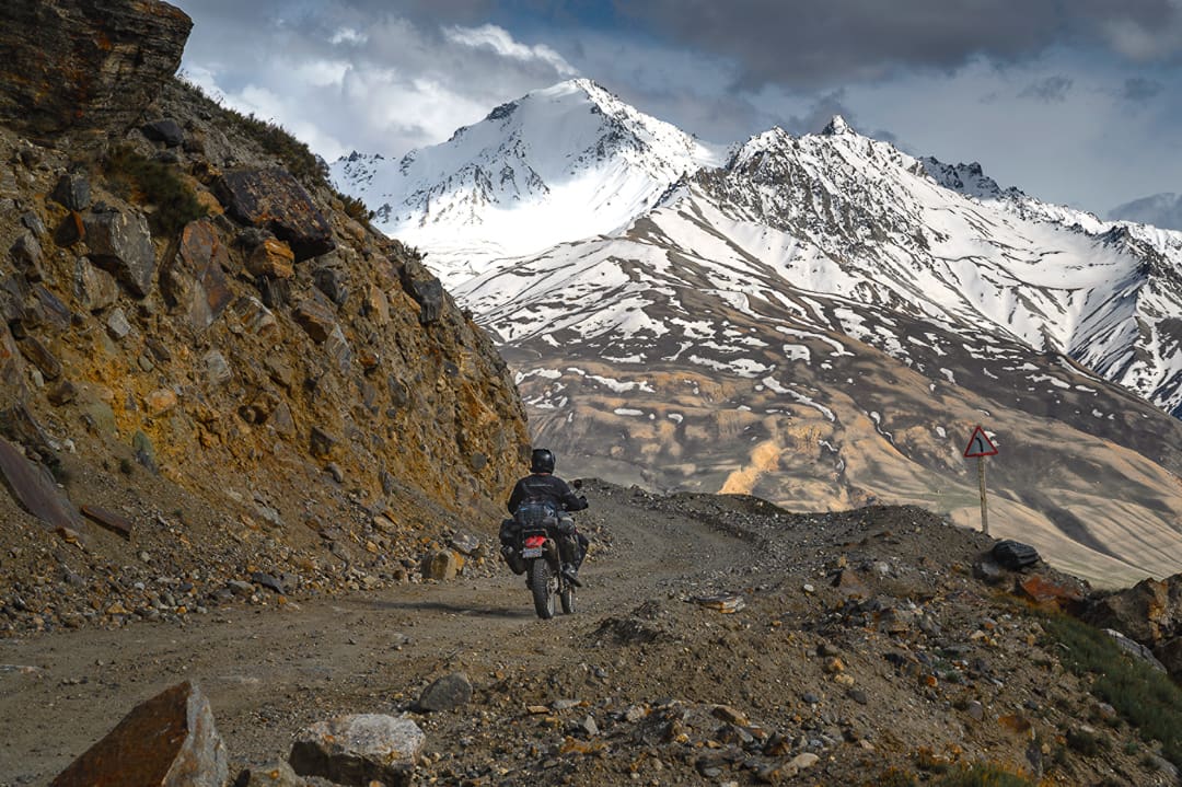
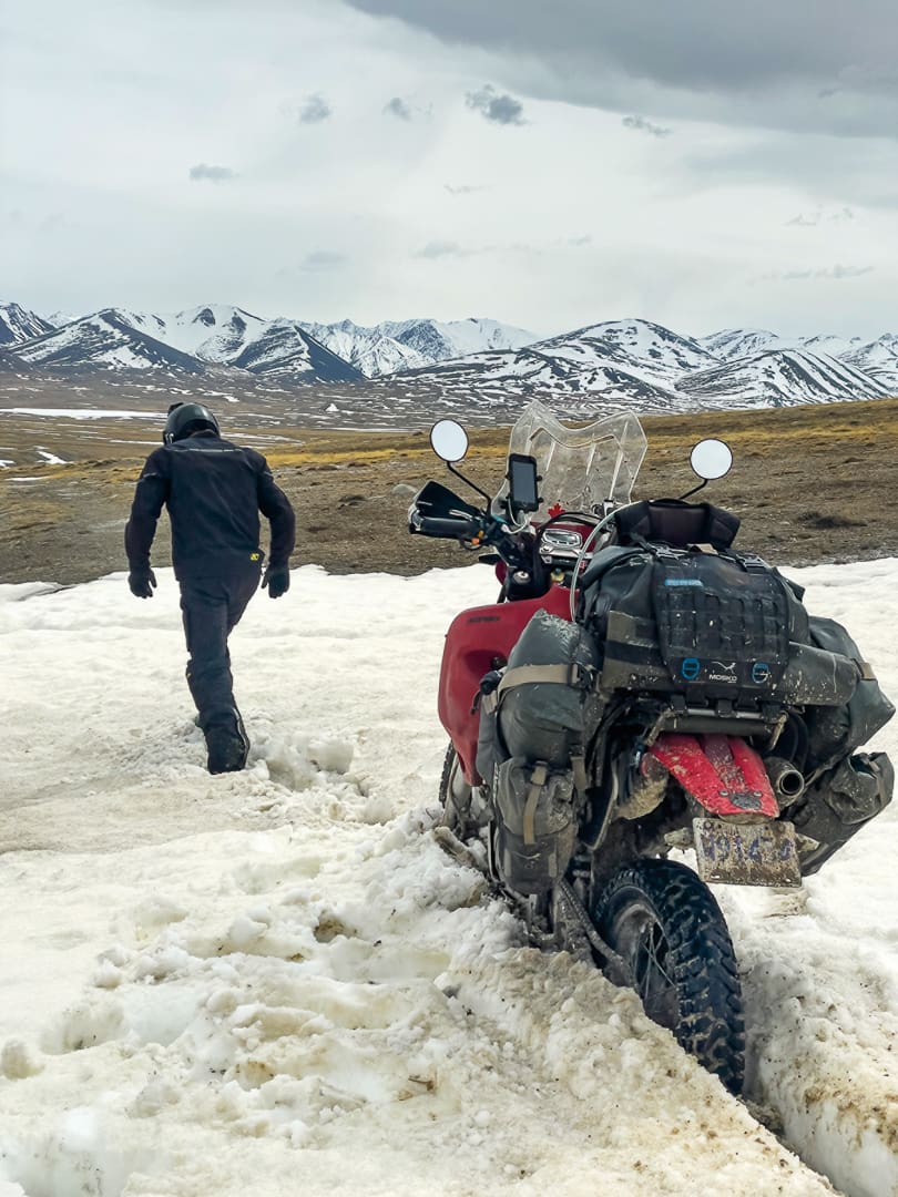
The parched ground turned muddy from meltwater, and snowpack clung to depressions in the landscape. An absence of tracks meant we had the honor of breaking trail into a realm still shaking off winter’s tenuous hold. I’d expected some frosty remnants and was glad we came to see for ourselves the extent of it. Bare earth showed between the fingers of white that laced themselves down the mountain saddle. We couldn’t ride straight through, but by climbing the dry slopes first, we could angle back down across the snow with gravity on our side (arduous but passable) and then repeat the strategy in the reverse direction. It was neither quick nor easy, but following the summit, a promising panorama loomed below, a wide basin four kilometers across and rolling downhill into the periphery. Alas, it was a mirage; the valley that comprised the tail end of this route was a spring runoff swamp.
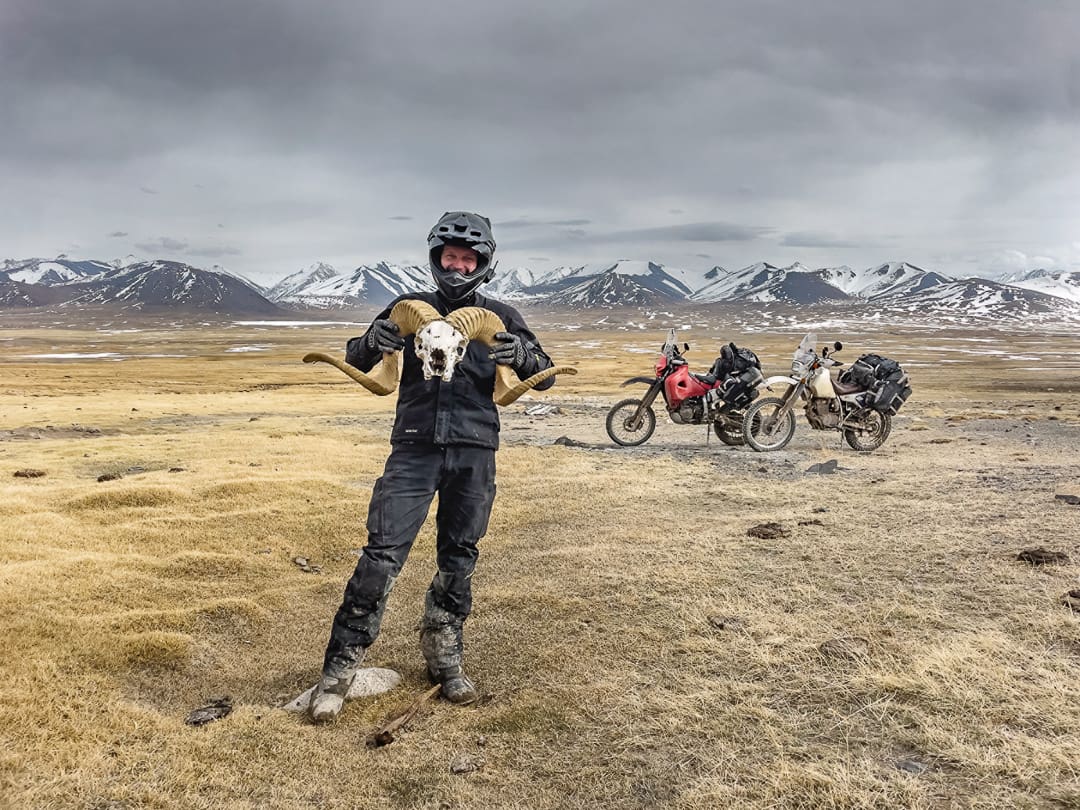
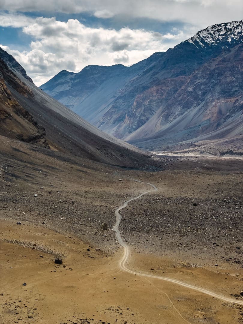
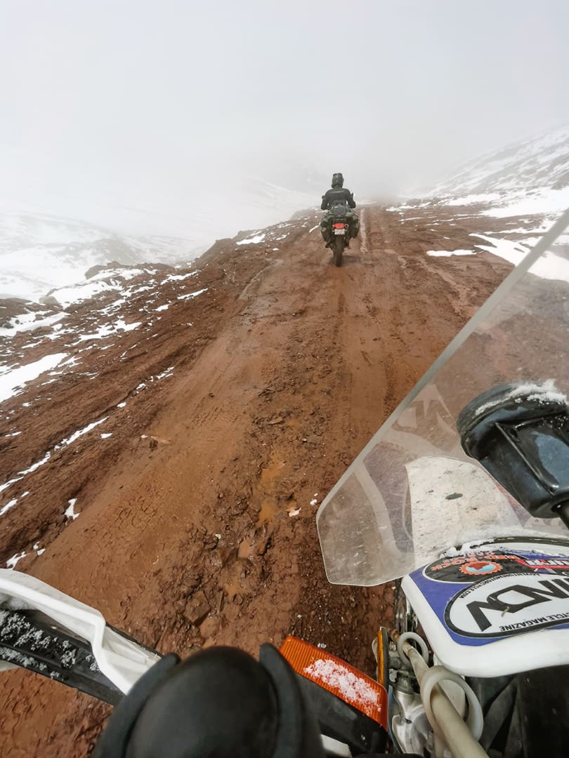
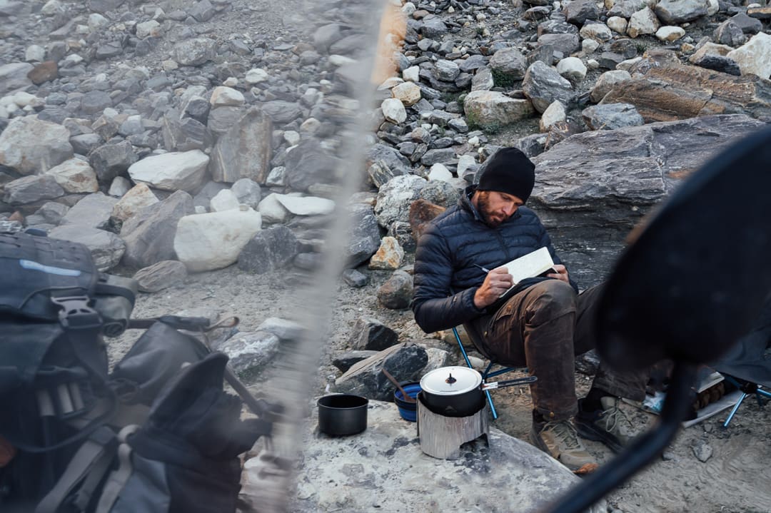
The broad and majestically uninhabited Zorkul Valley, which had impeded our progress with its sodden self, was the aforementioned point of no return. Beyond this position, we would not have enough fuel to backtrack. Even with favorable conditions, these are serious junctures requiring an audit of our situation. Should a mechanical failure or any other predicament leave us stranded, are we willing and able to hoof it out on foot? What are the odds of help passing by if we need to put roots down? We’d made it a mere 20 kilometers in the preceding three hours, pushing, pulling, and cursing our way along. Continuing was folly, and we knew it, but it was a satisfactory defeat. A small shepherd’s hut we’d passed called us back with its potential for wind cover, and surpassed our expectations with enough space to pitch up inside for the night. A sense of relief hung in the air, alongside a faint goaty ambiance. If the weather turns, we couldn’t be in a better spot, and the weather was meant to turn.
We hadn’t forgone all digital consults. Due diligence in an area known for rapid and extreme weather fluctuations warranted an eye on the forecast. We’d had multiple days without service, but when we last looked, heavy snowfall was predicted for later in the week. With mountain passes over 4,400 meters behind us, and a swampy morass in front, the blizzard’s early arrival could leave us in a bind. Peace of mind was granted by our creekside shelter, its dung stove, and a stockpile of dried droppings outside that would outlast any prolonged stay.
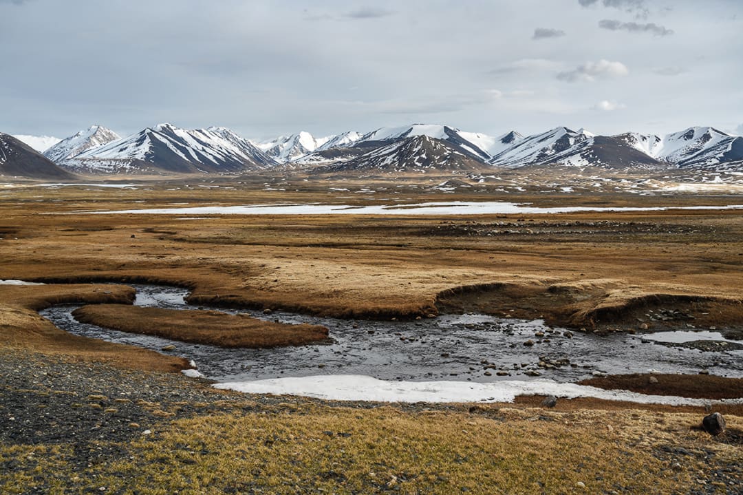
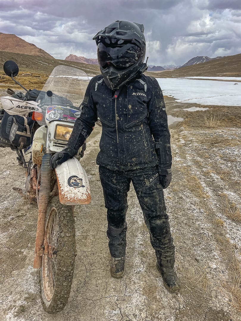
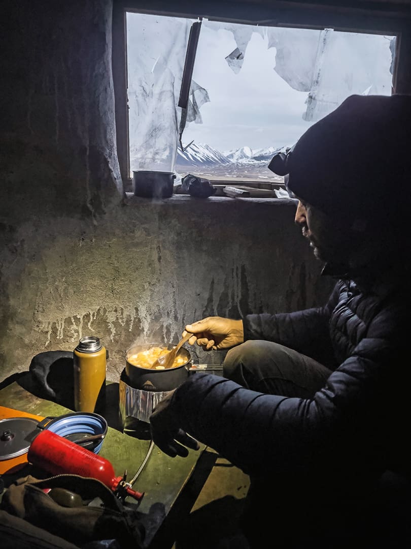
Trading the prospects of another night out in sub-zero temps with a serendipitous chalet under the stars was a favorable consolation prize to the uncompleted detour. Adding to our good fortune, it seemed that the heavy exertion had sped our acclimatization, dissipating the acute mountain sickness we’d been battling. As I hydrated my hands in the frigid stream, a comical notion crossed my mind: I could scour every booking platform available and not find a retreat this tranquil. I shook it off, realizing we were not guests in the Swiss Alps with an abundance of options. We were interlopers in an area covering 64,000 square kilometers, spiked with peaks towering over 7,000 meters, a magnitude that dwarfs my mind’s comparison. We were becoming acquainted with deprivation delirium, where any small comfort was seen as a grand luxury in the Gorno-Badakhshan Autonomous Oblast (GBAO), a locale named with Soviet stature, but uniquely spartan in its conditions.
We woke to immovable motorcycles, a frozen plaster cast of mud having set over the drivetrain and brake calipers. We waited out the thaw with hot coffee, basking in the quietude before our single-cylinder ruckus once again disturbed the inhabitants of the valley I originally took for vacant. Migratory birds making their annual commute filled the sky, and brilliantly camouflaged herds of argali roamed high on the rocky slopes, nearly invisible once they stopped moving. Also known as Marco Polo sheep, these residents gave us an insight we could put to good use. We extracted ourselves in a fraction of the time by traversing at the limit of our traction, where it was too steep for the water to pool and soften the terrain. A day later, the weather came on cue, but thankfully, we had made it back to the frost-heaved and fractured main artery. Through sleet and snow, the post-apocalyptic pavement led us to an outpost community, a safe haven that initially looked as gray and bleak as the sky above.
The sole café betrayed its abandoned outward appearance with a small wisp of smoke from the chimney. A lukewarm draft floated over to our frozen frames, and the two pots sitting atop its source contained everything we needed: hot tea and soup of unknown origin (perhaps yak, judging by the thick black hairs still attached to the contents). I saw this as a fitting opportunity to break from my purest principles and seek counsel from the plastic rectangle in my pocket, but only a partial treason, as I’d be using an offline app instead of the internet. It is neither fun nor fair to visit multiple guesthouses, raising hopes of income as rudimentary conditions are scrutinized, awkwardly postponing offers of food and drink until ready to commit. At times, we instead read a few iOverlander check-ins to optimize the outcome and make a decision before showing up. In a town without a functioning electrical grid or indoor plumbing, this meant finding a restful stay at the only house with a modern solar setup. The town’s provisions, although scant, were enough to keep us moving toward the region’s southwestern flank, which sat 2,000 meters lower and in a different season.
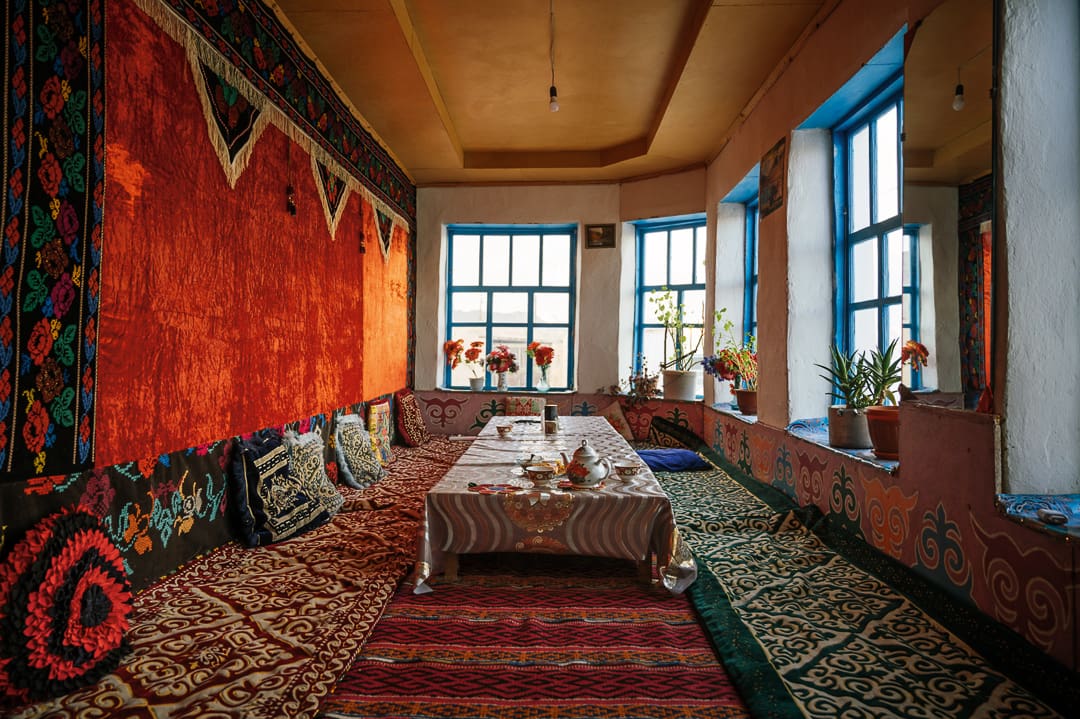
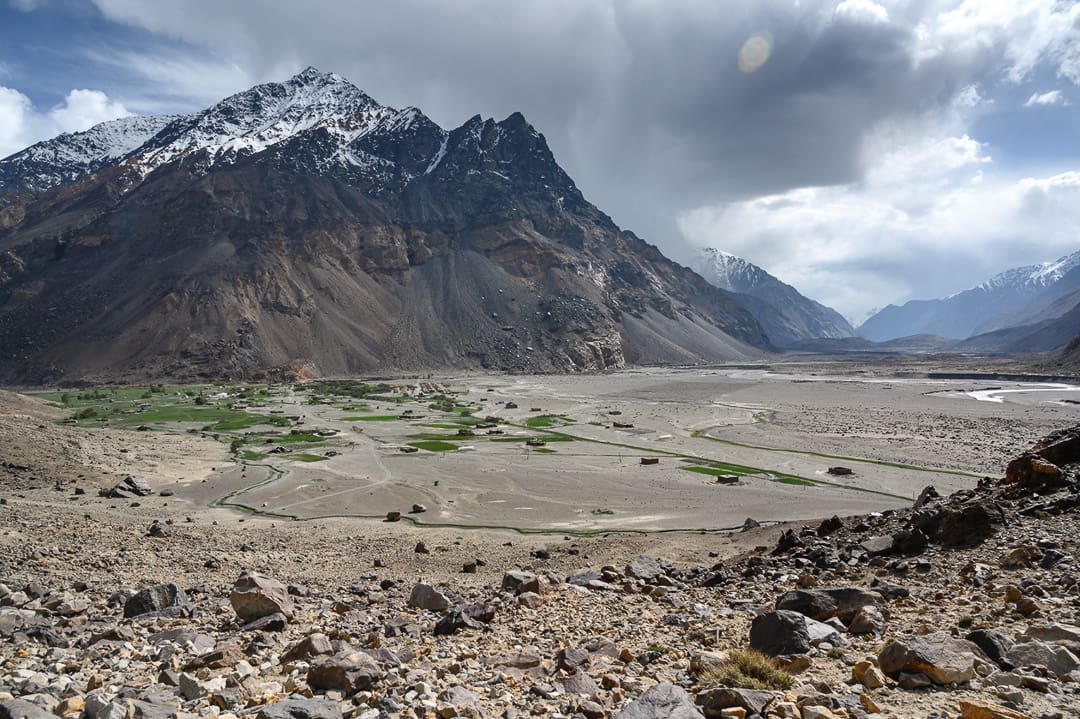
When coming from above, the towns of the lower GBAO first felt like vibrant metropolitan hubs nestled along the seaside. With time spent scouting this way and that, the springtime illusion of prosperity in a comfortable waterfront atmosphere dissipated. These are hardscrabble high-elevation settlements, eked out of the arid terrain by traditional methods at the hands of the resilient Badakhshan people. Multiple ethnicities stand under this proud umbrella, a population that has endured by utilizing the region’s watersheds as they course toward the Aral Sea basin. Rivers have carved out the valleys and canyons bearing the same names: the Gunt, which we followed down to warm our bones, and the Panj as we swung back around to climb the Wakhan Corridor, the geographical feature marking the border between Tajikistan and Pakistan. Then, there was the formidable Shakdara Valley, which had the courtesy to bar our entrance before too much struggle ensued. Our map was becoming a mess, overlapping circles and squiggly dead ends, almost like I had been trying to warm up my pen instead of tracing a route. It was roaming at its finest. A few turns of the sun would separate moments of severe strain, where we questioned our motives, and effortless camps under flowering trees, where we daydreamed of the next challenge. Every time it got too comfortable, convection currents of warm air would rush toward higher ground, drawing us upward with it.
The siren song of the high plateaus had been ringing in our ears since our first descent, calling for one last bold stroke across the map. We could bisect the circuitous route we’d taken thus far, cutting straight through the Tajik National Park to where we’d begun, exiting on the same frequency of exploration as our entrance. It meant going against the grain of popular opinion that May was too early for certain routes. Sure, some paths had proven that notion, but many others were to the contrary, and this one held promise. The Bartang Valley is closed for most of the year by snowfall and is impassable for much of the rest of the time due to avalanches, rockslides, and swollen rivers. We had it on good authority that the latter, which impedes most motorcyclists, could be avoided by going before snowmelt from above surged the waterways. We’d again lose all but the barest of amenities. Still, the gain would be more than mere elevation, so we entered a fissure in the immensity of rock comprising eastern Tajikistan and began our final ascent.
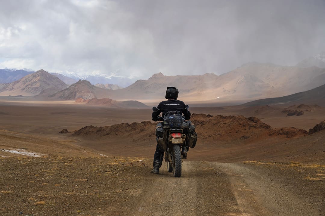
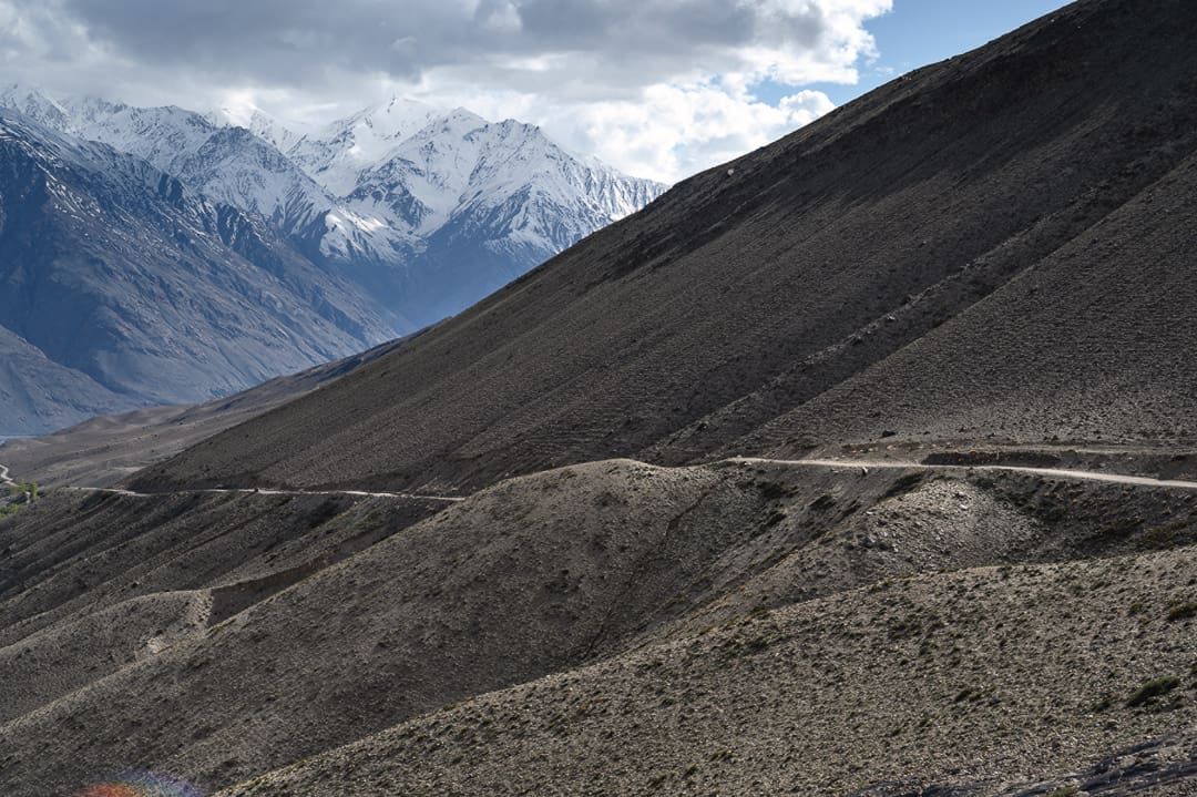
The Bartang (“narrow passage” in the local dialect) would live up to its name; the first 200 kilometers contained multiple tight passages, with sheer, precarious slopes above, and a churning torrent of water below. A smattering of tiny villages clung to areas flat and wide enough, but we couldn’t simply search the black box for basic necessities, and not just because of the absence of reception. What was open last season had no bearing on this one. We topped off our tanks at every opportunity to ensure we could cross the 400-kilometer fuel gap following the last village. A packet of biscuits here, a bit of fuel from a steel drum there—scarce but sufficient. As it turned out, the rivers were crossable, and the rough track surmountable, but I could appreciate that it wouldn’t have taken more than a heavy rain to destabilize the mountain and bury our retreat. The labyrinth of chasms was followed by a rapid ascension into the highland desert above. It was beautifully barren and indescribable, but I’ll happily add my name to the list of those who have tried and failed to meet their mark.
Sitting atop the Kyzyl-Art Pass in the aftermath of an unforgettable journey, I snuck one last glance over my shoulder to the dramatic folds of earth holding an untold abundance of varying terrain, Tajikistan’s Pamirs. Twenty-three days and 1,800 kilometers prior, we sat in this very spot, eyes wide in wonder at what Central Asia’s most highly acclaimed adventure destination would hold. We held no checklists or expectations, just a worn-out map and worn-in willpower to experience the Pamirs firsthand.
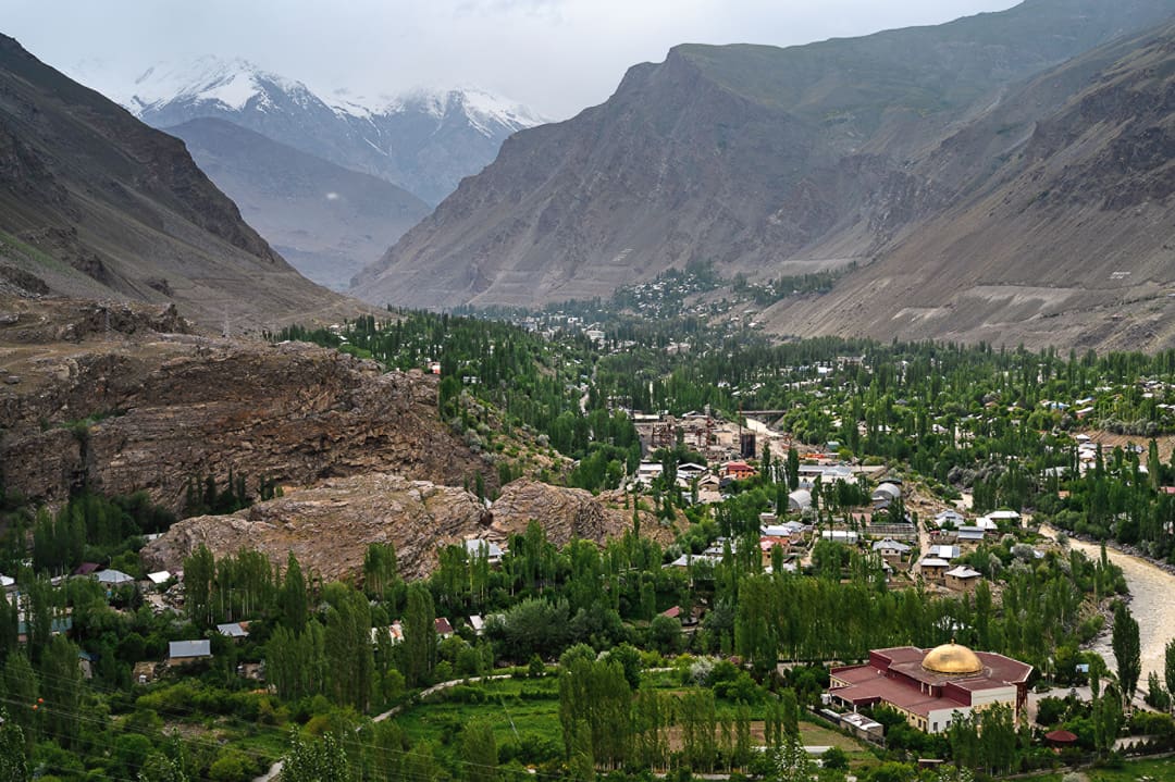
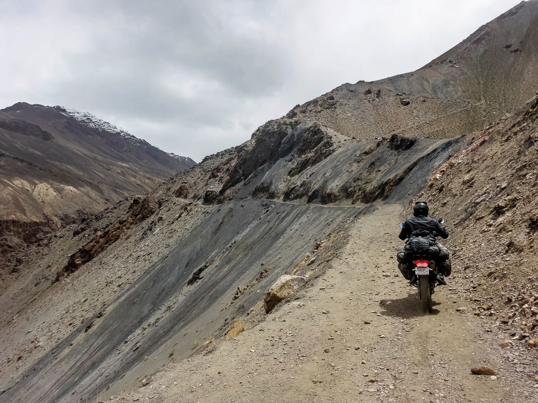
I am not as tech-averse as I may have led on earlier, but the digital realm at our fingertips can hinder just as quickly as it can help by ruining the show before we’ve seen it, or by building a false reliance on technology that has no stake in our safety. Over the years, I’ve learned it does not serve me well to probe too far into a place before we go, as long as there are no dire consequences of keeping the blinders on. Certain locations deserve a close look at the stories of those who have come before—others don’t. Seeking and heeding local advice is crucial, but the information given needs to be sifted with the same prudence I put toward analyzing our own capabilities. The world is shrinking, but that doesn’t mean there isn’t an entire planet of places yet to discover. While seeking exploration, anywhere can be uncharted territory, provided you don’t read the charts first. Well, perhaps a glance to ensure we don’t run up on any reefs, then I conveniently forget all the rest and get out there. Pioneering new paths has everything to do with perception.
Editor’s Note: For a detailed evaluation of paper map usage, head to Luisa Bell’s “Off the Map.” If you’d like a closer look at the intricacies of the Pamir Highway via the Wakhan Valley, check out Ashley Giordano’s full trip report via this Overland Routes article in the Fall 2026 issue of Overland Journal magazine.
Our No Compromise Clause: We do not accept advertorial content or allow advertising to influence our coverage, and our contributors are guaranteed editorial independence. Overland Collective may earn a small commission from affiliate links included in this article. We appreciate your support.