Editor’s Note: This article was originally published in Overland Journal, Winter 2018.
Bang! I snapped my head around at the sound, in time to see Chris plummet from roof height to the rocky ground below; there was just enough light in the late evening sky to see his ankle bend 90 degrees in the wrong direction. Natalie and I were rushing over almost before the shout of pain left his lips. We were on day one of a multi-week trip we’d been planning for months, and it looked like it might end before we reached day two. A few months prior in the spring of 2017, we were huddled around my dining table, looking at maps. Chris had reached out to the government of Canada’s Northwest Territories (NWT) and received permission for us to drive the new, unfinished road across the territory.
NWT is almost twice the size of Texas and has only 40,000 people—half of whom live in the capital city of Yellowknife. It’s hard to imagine a more isolated landscape, or where you can travel a longer distance without seeing another human.
Along the remote Arctic coastline there are a few towns, more like hamlets, with human populations ranging from dozens to hundreds, rarely thousands. One of these is Tuktoyaktuk, population 898 people according to the 2016 census. Tuk, as it is locally called, is the proverbial end of the line, and the farthest north you can drive in Canada. And, for decades, you could only do the drive in the winter, along one of Canada’s most famous ice roads, following the frozen surface of the Mackenzie River. The extreme weather meant that very few people attempted the drive for pleasure; usually, it was just ice-road truckers hauling freight who travelled the remote roads. A few hardy souls were among the exceptions each year, including Overland Journal’s Scott Brady (Gear Guide 2017, Winter 2016, Winter 2007).
For the longest time, Canadians have talked about their two coasts. You could be from the East Coast or the West Coast. It seemed like most people forgot there was a third option, the Arctic, or North Coast. It’s not surprising really. Traditionally, the Arctic coastline has been so difficult or expensive to reach that for most of Canada, it was easier to visit the beaches of Mexico, Hawaii, or even Australia. All of that was scheduled to change in November 2017 with the completion of a road the NWT government had scouted nearly 30 years before.
Not wanting to wait for the official opening, and hoping to catch the fall colours of the first frost, Chris received permission for us to drive the road while it was still under construction. We began our pilgrimage in late August 2017. We decided to make it an even bigger undertaking and set our sights on being the first people to drive across Canada from south to north in the summertime.
Why some might ask, would anyone want to drive all the way to the Arctic to visit the ocean? Well, there aren’t very many people so it won’t be crowded, and if you time it right, you will have 24 hours of sunlight each day. Plus, you can observe whales, caribou, or maybe even an occasional polar bear.
Beyond the destination, the journey itself is nothing short of spectacular. Starting at Vancouver, we journeyed east on the Trans-Canada Highway through fertile farmlands, then up the Fraser River Canyon, a stunning drive with a slightly dangerous reputation.
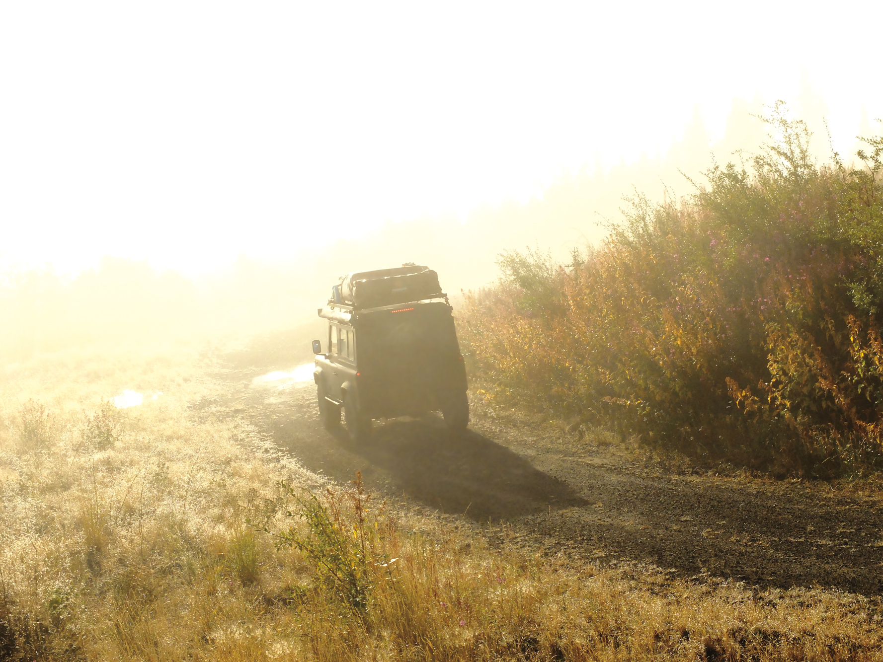
Although the dangers on this road are real (animals, blind curves, rock falls, tourists stopping for photos in the middle of the blind curves), most of this can be mitigated by taking a slower pace and enjoying the drive. No problems for us, as friends Chris and Natalie were in their Defender 90, with a 300Tdi engine known for torque rather than speed, and I was driving an ancient Range Rover Classic with a freshly built motor. The little 3.5L V8 in the early Range Rovers was never going to set any speed records, but since I only had a thousand miles on it (1,011 when we set out) and was still breaking it in, I didn’t want to push it very hard either. So with the mercury hitting 36°C (97°F) the three of us cruised along the winding canyons in our stately British steeds with the windows rolled down, stopping for ice creams, roadside fruit, and to take photographs.
We made good time and were setting up camp that first night just outside Quesnel, British Columbia, when a ladder assembly error on Chris’ new rooftop tent caused him to plummet to the ground. All three of us have extensive medical training, and we assessed it as a bad sprain rather than a break, requiring the RICE protocol: rest, ice, compression, elevation. We decided to go to the hospital in Prince George for an X-ray the following morning, just in case. The X-ray confirmed it was a bad sprain, and although Chris was in a lot of pain, the road permit we had was for a fixed date, so we decided to press on.
There is a silver lining in every cloud, and the fact that Chris wouldn’t be operating the D90’s heavy clutch for a week or so meant that Natalie took over driving duties in the Defender, and Chris was able to keep his Nikon on his lap. Chris is an excellent photographer, and with his camera always at the ready, captured shots of wild goats, elk, bears, arctic foxes, eagles, and buffalo along the roadside.
Heading out mid-morning, we crossed the Yukon border and stopped to take some snaps at the Hyland River Provincial Park where the Alaska Highway crosses the Hyland River. My Irish grandfather explored the Canadian North in the 1940s and 1950s as a photographer in what was still wild and remote land, taking on odd jobs as he found them, usually with his Balda 6×6 folding camera around his neck. That Balda is the pride of my camera collection and I still pull it out to use on occasion.
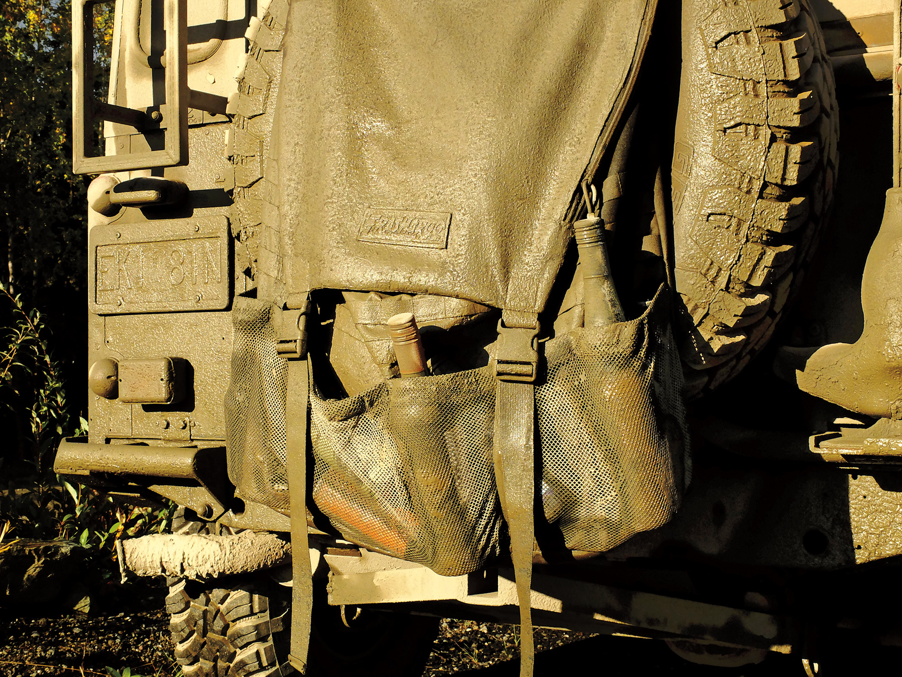
Later, in the early 1960s, my dad set off from Ireland on a trip to distant Canada to explore the North, looking for his father and also for himself. At one point, he was working in a camp outside Tungsten, along the Hyland River, clear evidence that my grandad had been in the area. Dad liked to fish in an unnamed tributary of the Hyland River and thought he should leave his own mark, so he hammered in a homemade sign naming the Little Hyland River where it entered the bigger stream. Many decades later, he passed the same spot and found that his sign had been replaced by one from the government, but the name had stuck. With the goal of blazing our own stamp, we turned north at Watson Lake along the muddy and seldom-driven Campbell Highway, and then east along the Nahanni Range Road. The 200-kilometre section of gravel is one of the most remote roads in the Yukon, and coincidentally one of my dad’s favourite fishing areas in the 1960s. We stopped at a scenic spot where the road crosses the Little Hyland River, collecting a stone and a few photos before heading back to our original route.
My “spirited” driving on the Nahanni Road had used a lot more fuel than usual in the Range Rover. By the time we reached the community of Ross River, my extra jerry can was empty, and my fuel light was on as we rolled into town, finding the fuel pumps locked for the night.
The next morning, the fuel attendant showed up an hour after opening time to serve the grumpy line of cars, four in total—a veritable traffic jam in Ross River. I pumped 75 litres of fuel into the Rover’s 76-litre tank, and we set off for Dawson City, capital of the Klondike Gold Rush in the late 1890s.
Although Dawson only has about 1,400 full-time residents, the town has a youthful feel with a lot of positive energy. Quirky local restaurants serve up craft beers, great food, and live music most nights, and the surrounding area is filled with historical landmarks, museums, and beautiful period buildings. Since we had a deadline, we decided to explore Dawson properly on the return leg. A quick stop at the auto parts store to top up on blinker fluid and buy another extra jerry can and we set off on the famous Dempster Highway, the 700-kilometre dirt road to Tuktoyaktuk.
With a total capacity of 116 litres of unleaded gasoline in my tank and two jerry cans, I had a theoretical range of 450 kilometres. The next (and only) fuel stop on the Dempster was Eagle Plains, 405 kilometres away, giving me a safety margin of 45 kilometres if we didn’t stop, detour, or explore. Of course, we did all three, and as we pulled into Eagle Landing, my fuel gauge was again just above empty.
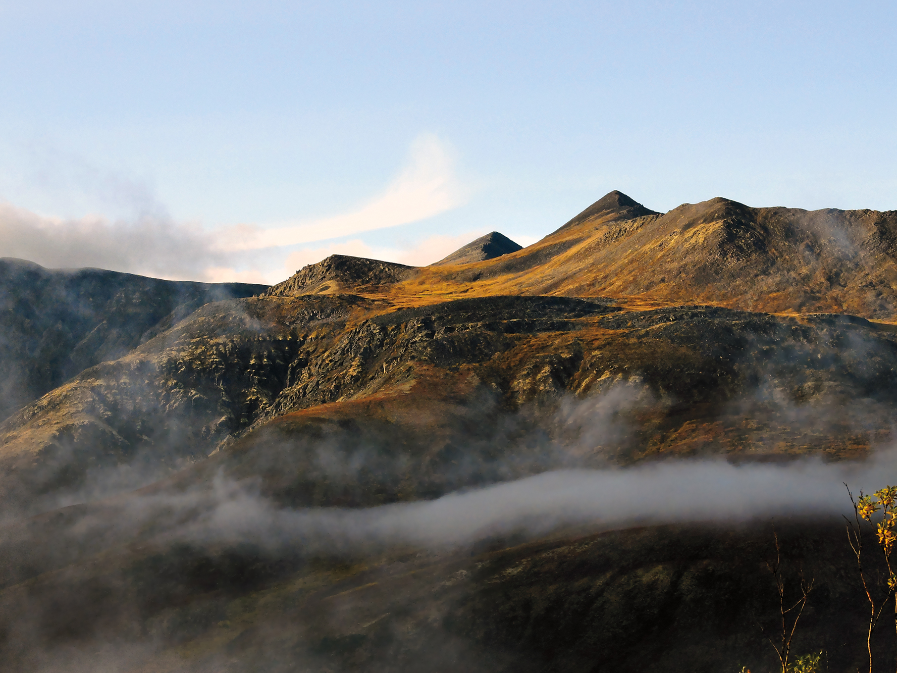
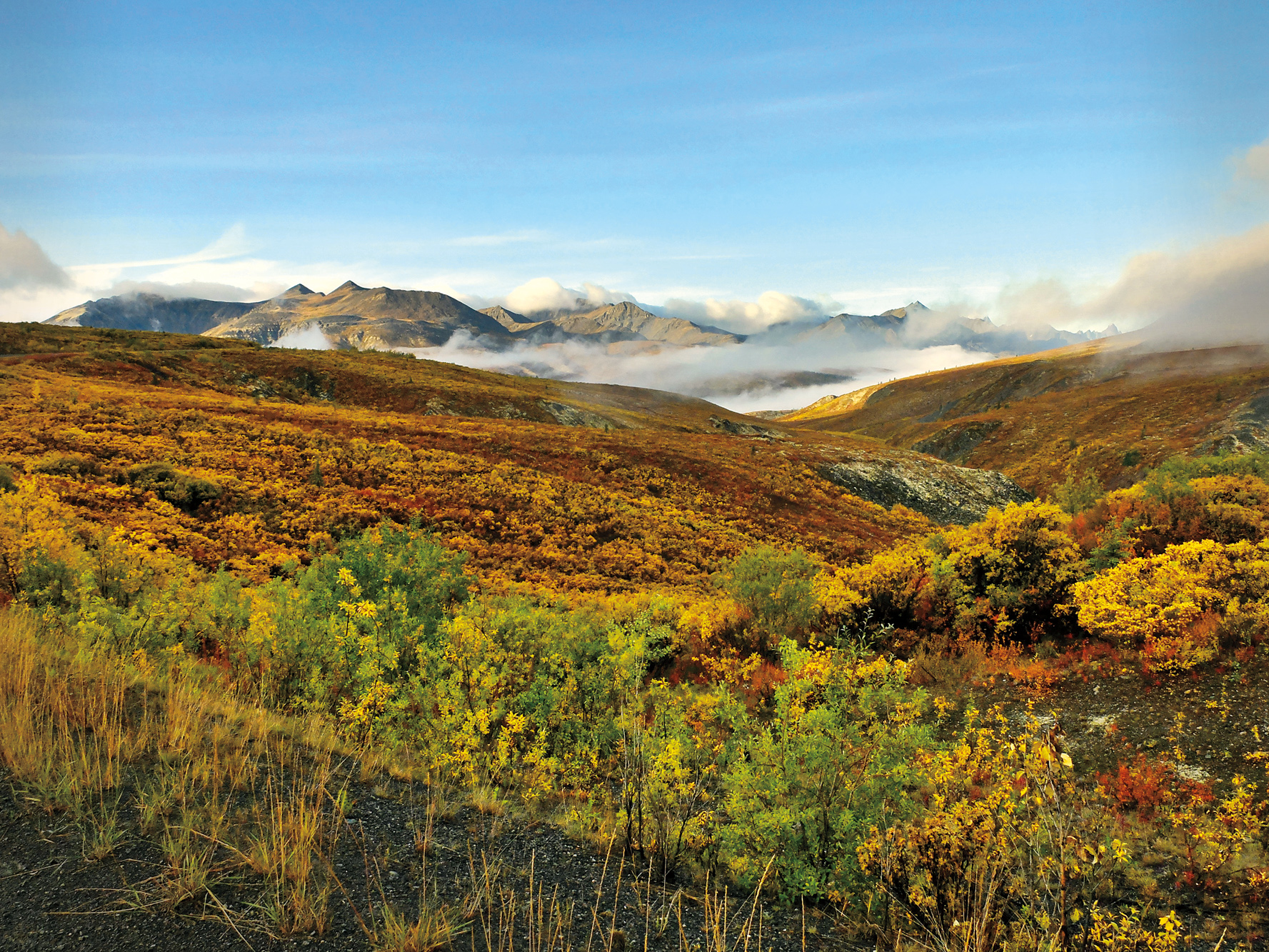
We took two days to drive the Dempster, camping along the highway north of Eagle Plains; although you could drive it over four days and not be bored—the scenery is that spectacular. Knowing our time was limited, and that we could do a leisurely drive south, we pushed through, crossing the Yukon’s rugged mountain ranges and massive valleys, then into the Northwest Territories, with its seemingly endless tundra and spartan ferry crossings, eventually reaching the town of Inuvik in the early evening.
Inuvik has the feeling of a frontier border town, and in some ways, that’s what it is. Not that there is a political boundary anywhere near, but the town sits at what has long been the edge of the true wilderness in Canada’s North. Beyond this point, you previously needed to leave the comfort and security of your truck behind; either you hired a bush pilot to drop you off, or you were dependent on a boat or your own two feet to get around.
That is changing with the new road to Tuktoyaktuk, the reason we were in Inuvik in the first place. Inuvik would no longer be the end of the line, merely one more stop on the long road north to the Arctic Ocean.
The new road was still a dirt track in August 2017, a 300-kilometre line of dump trucks and bulldozers with crews that were frantically trying to finish by November, when the prime minister was scheduled to fly in for the ribbon-cutting ceremony. But we had pushed ourselves and our trucks so hard because our one-off permit was for the following day. We called our government contact as soon as we arrived, but the news we received was disheartening. The unusually heavy rains over the previous few days had turned the construction site into a quagmire. Work on the road was suspended until the ground dried out, and no vehicles were permitted on the surface to keep from damaging it, as well as to prevent recovery crews having to be dispatched into the wilderness.
We spent a lot of time on the phone, and then in person, talking to Dean Ahmet, the engineer in charge of the entire project. We told him about our well-set-up trucks, our experience driving in difficult terrain, and our extensive selection of onboard recovery kit. We also stressed that our “Leave No Trace” approach to backcountry travel meant that we were used to minimizing our impact on the environment. And that our Land Rovers, half the weight of the smallest work trucks the crews used and with our tires aired down, wouldn’t leave the same deep trenches unless the ground was especially soft. We promised that if we encountered those conditions, we wouldn’t continue.
Dean listened patiently, then told us he would look at the road conditions the next day and let us know. There was the slightest chance that if the weather held (dry, windy conditions), we might be allowed to go at midday the following day. Not feeling terribly optimistic, we decided to splurge on a couple of rooms at the Nova Hotel and dinner at the Roost Restaurant—the only place open. It’s an odd little joint ostensibly serving a mix of pizza, chicken, and Chinese food, although what’s actually served depends on what’s available. The day we were there, chicken was the only option.
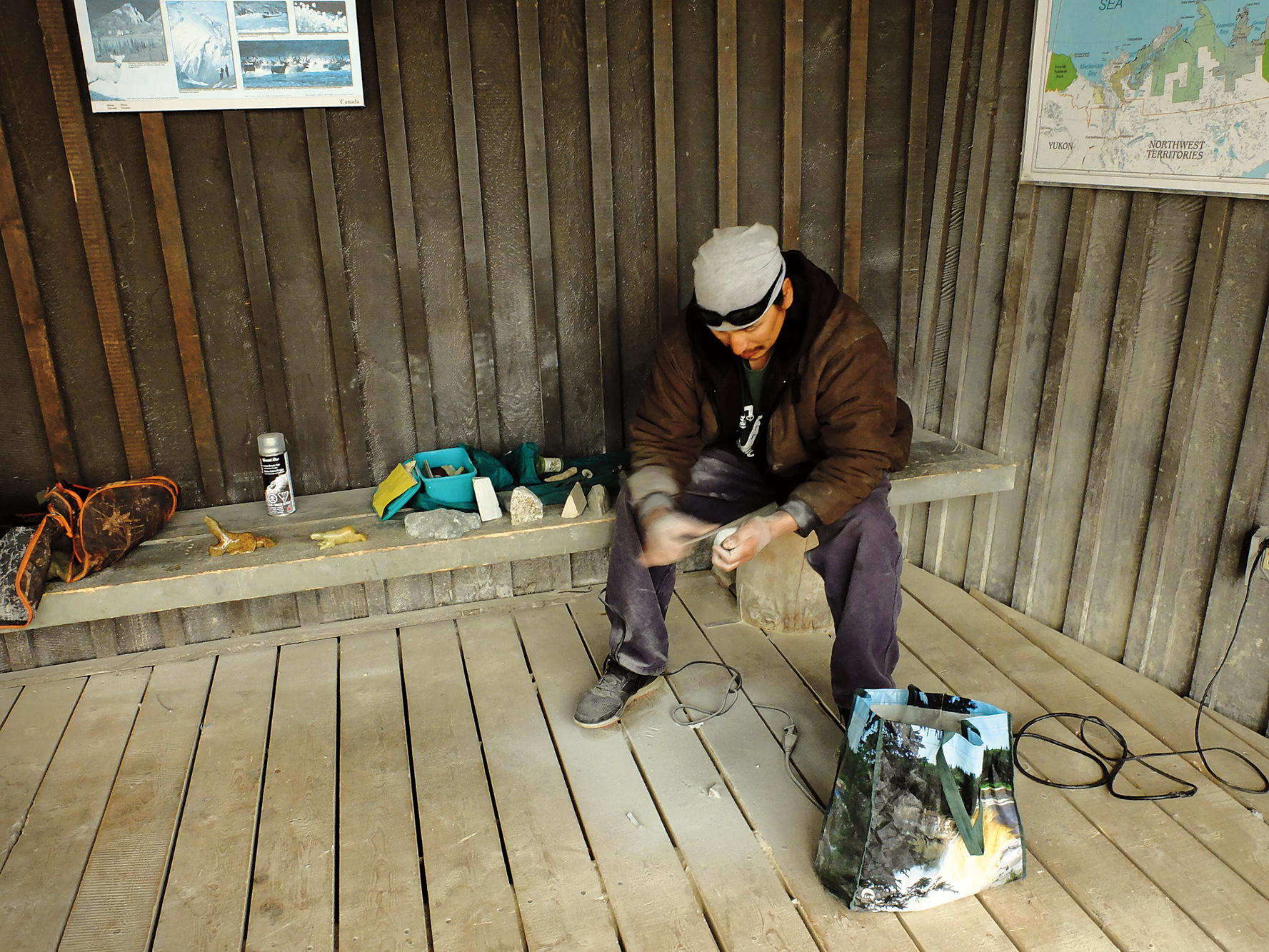
The next morning we looked around town, checked fluids in the trucks, and visited the museum, where I met an artist from Tuk. He was working in Inuvik since that’s where the tourists were. We chatted about the new road, and he told me he was looking forward to being able to create and sell his art in his hometown, rather than constantly having to fly down to Inuvik.
Right then, Dean called and said we could go. Elated, we quickly drove to his office, had a safety meeting to go over the rules, and headed out of town, through the security gate, and onto the new road.
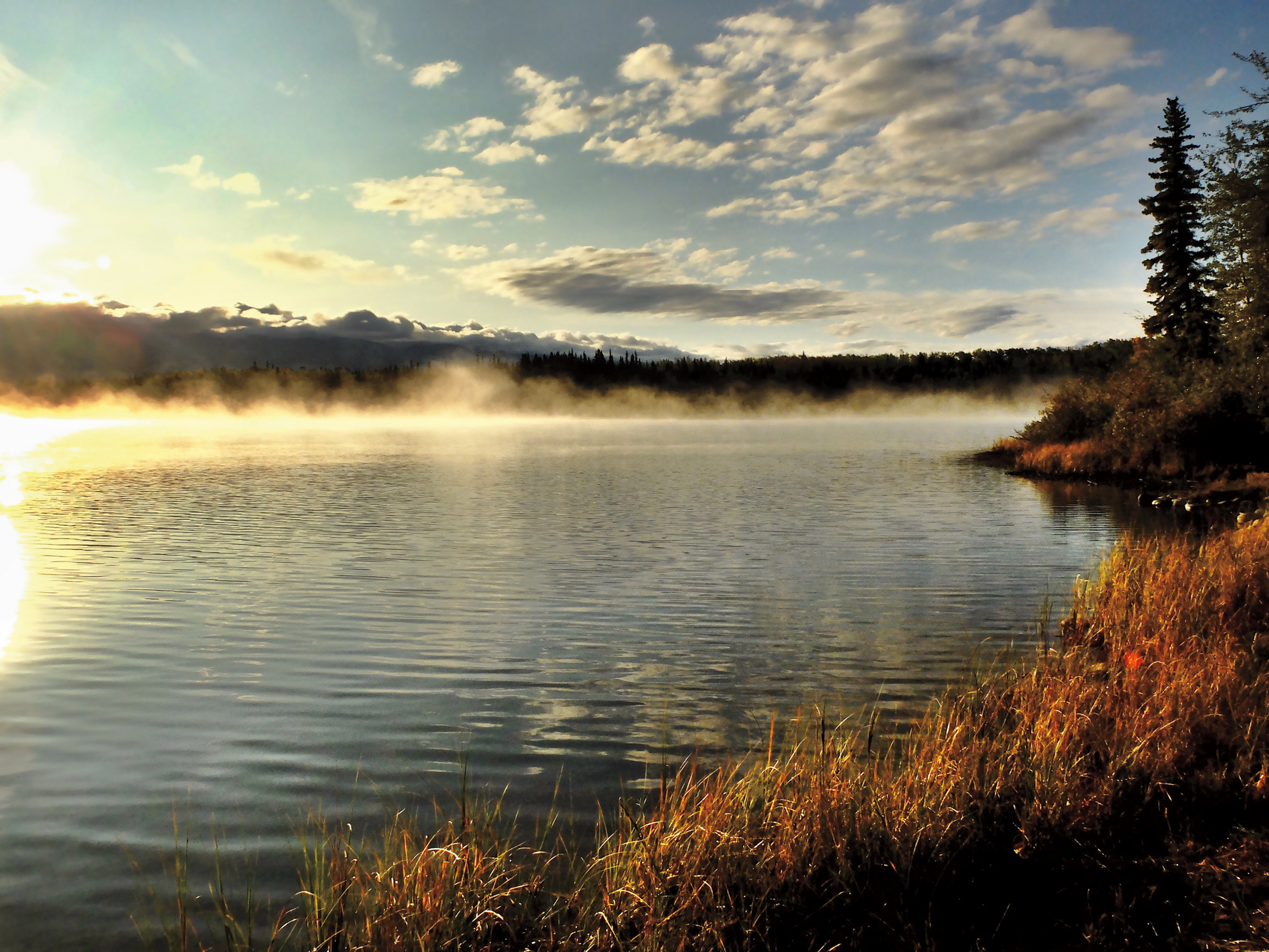
The scenery changed quickly. At first, it’s just more taiga, endless vistas of trees and rivers, with a small strip of dirt winding north. But then we hit the treeline, and it is a line. One minute you are driving through a sparse coniferous forest, and the next, the trees just thin out and disappear. Suddenly, you are driving across the tundra, with nothing but lichen and stubby little bushes to cover the landscape.
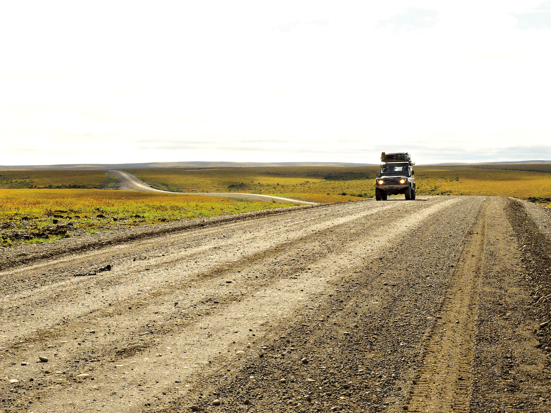
The road itself is more advanced than it appears. Costing $300 million (CAD), it crosses 137 kilometres of some of the most sensitive and delicate areas in Canada. The basic route was proposed in the 1960s and roughly mapped out in 1974, but the final path winds through the landscape like a ribbon fluttering in a light breeze. Before we left Inuvik, Dean explained that the path allows for the minimum number of culverts and bridges (still over 300), allowing natural drainage—important in a landscape of lakes, creeks, and pingos (ice-cored hills unique to the region). The foundation of the road is laid upon a thin geotextile fabric, which keeps the road materials from penetrating and destroying the permafrost layer beneath it.
As we traveled along the new road, we were happy to be so well prepared. Due to the prior wet conditions, most of the construction activity had been halted, and we felt like we were all alone near the top of the world as we drove through the sparse and windy landscape. The lack of trees meant that we could see for miles in every direction, and the view of lakes, rolling hills, and meandering streams was always changing, topped by a blue sky dotted with clouds racing for the horizon.
Most of the road was nearing completion, with a solid gravel surface elevated metres above the surrounding landscape. Some areas were obviously not so far along, and we encountered long slippery sections, where even with tires deflated and centre diffs engaged, we still felt like kids on a Slip ’N Slide. Luckily, only the top few inches were soupy, so although we struggled to keep the vehicles pointed straight, we never sunk down enough to create serious ruts or to start dragging diffs.
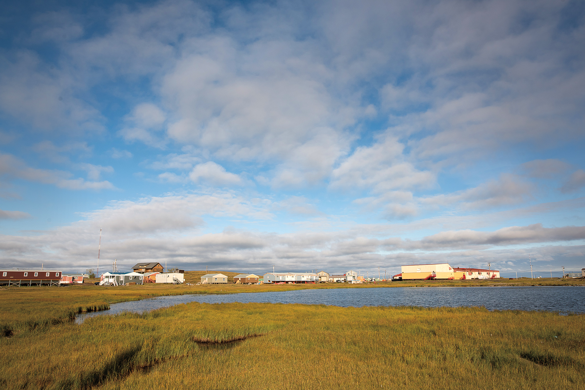
After a long afternoon of driving, stopping for pictures, and enjoying having the whole road to ourselves, we arrived at the gate indicating the end of the highway and the entrance to Tuktoyaktuk. Rolling into town was a bit surreal. The road was still officially closed, and up to that point, every vehicle that came into town was either driven up the Ice Road in the spring or shipped in on a cargo barge. Our two Land Rovers were very distinctive, and folks in the town stopped whatever they were doing to watch us amble past. We did a slow circuit of the village and stopped at the store/post office to introduce ourselves and ask about camping.
As it turns out, the idea of a designated visitor camping spot was a new concept. The Inuit have travelled cross-country for countless generations, and they would simply stop and set up tents wherever looked like a good spot. Since overland travelers always arrived in the winter, the need for a dedicated place for people to pitch tents hadn’t really been discussed. After a short communal discussion, the consensus among the villagers in the store was to pick anywhere that looked comfortable. We drove to a quiet beach on the edge of town with a picnic table and started to make camp.
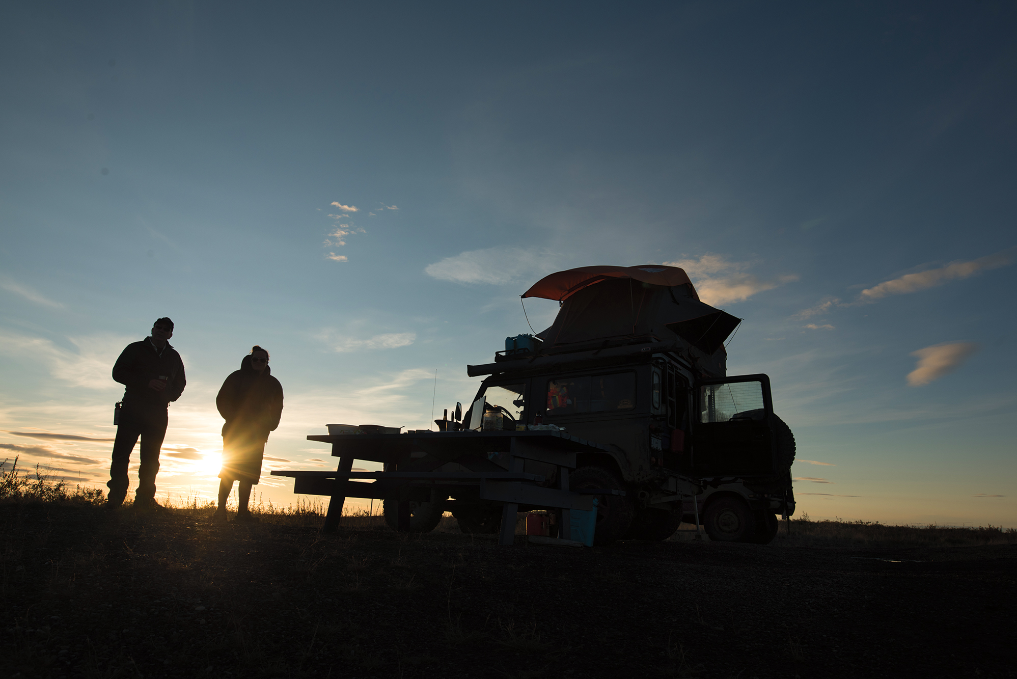
Over the next hour, as Chris and Nat opened their rooftop tent, and we began making dinner, there was a continuous stream of cars, quads, and pickups slowly driving past us to take a look. We smiled and waved exaggeratedly at everyone who drove by, and quite a number of them stopped for a chat when they saw we were friendly. Everyone thought we were in a good spot, and a few mentioned the grizzly bear that wandered through the village a few days before. I was happy to be sleeping in my truck.
We discovered that one of the best parts of camping on the Arctic Ocean in mid-summer is that the sunsets are not only spectacular, but they also last for hours. We were a little late for the 24 hours of daylight, but in August, we still only had a few hours of twilight overnight. Luckily, after a long and eventful day, we were all tired enough to fall asleep quickly when we finally crawled into our beds, despite the light sky outside.
The next morning, we woke up bright and early, had a fantastic breakfast on the beach, and spent the rest of the morning exploring the town and chatting with the locals. Eileen Jacobson drives a local cab and runs tours. She mentioned how town members were looking forward to the greater freedom of movement, being able to go to Inuvik to shop at bigger stores, go to an actual mechanic for car repairs, or even go for a driving holiday—things that the rest of us take for granted.
Most of the folks getting coffee at the post office were enthusiastic about the increased school opportunities for their kids and the possibility of more shopping options in Tuk, now that retailers can commute from Inuvik rather than living full time in Tuk. Yet, some shared concerns about increased drug use in town, more alcoholism, and even the fear of “child snatchers” coming up from the south.
During our short stay, the townsfolk were almost universally friendly, except for the one lady who assumed we’d snuck in on the still-closed road and called the Mounties on us. The Royal Canadian Mounted Police (RCMP) detachment sent a truck to check us out, and we had a nice conversation with a couple of the local constables. We asked them how they expected the road to change the town. They responded that drugs probably were not a big fear, as they are small enough to fit in a carry-on bag if someone wanted to smuggle them in. They did mention the potential challenges of alcoholism, not currently an issue as alcohol is restricted in Tuk—a case of beer costs $200. So there is an incentive for people to smuggle booze up the road and it’s pretty easy to hide. Time will tell if that becomes an issue.
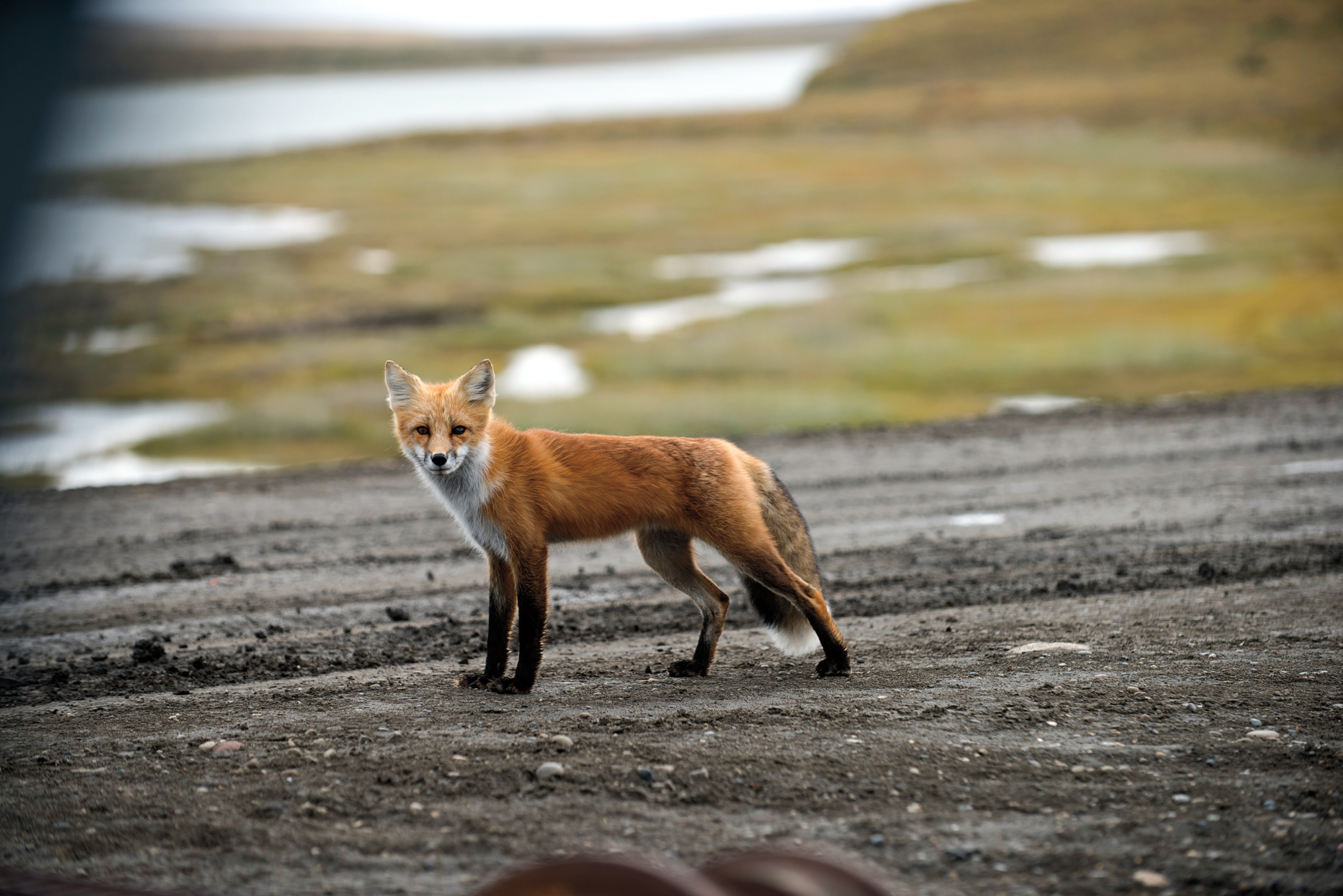
Our travel window was quite inflexible, and we had been asked to head south on the new road at noon. While we were waiting for the gate to be unlocked, we were visited by a playful young fox who ran circles around us, while Chris snapped a few photos of him. Finally, the gate was open, and we were free to head south once more. We’d had a few adventures making it to the top of the country, and we planned to have a few more, taking the long route home. We were just glad that despite the injury, tight timing, and weather, according to our research, we’d managed to set a new record.
UPDATE: Since this story was written, the new road did open on schedule in November 2017. Our recent follow-up interviews with residents and the RCMP indicate that it has had a positive effect on the town so far. A new gas station and grocery store have opened, and the quality of groceries is fresher and of greater variety. A trader, locally called the Fruit Man, now makes regular runs from BC with fresh produce, and residents are getting used to the ability to drive down to Inuvik for the day to take advantage of the services—everything from getting passport pictures taken to a night out for dinner. Eileen, the taxi driver, said she’s had an increase in tourist customers, especially Europeans who want to skinny-dip in the Arctic Ocean (who knew?) and her husband, Billy, complains he rarely sees her anymore as she seems to be driving up and down the new road much of each day, ferrying residents and supplies.
The local RCMP detachment reports they haven’t seen an increase in drug use or availability, and although they have seen illegal (over the limit) alcohol, they haven’t seen a dramatic increase to date.
Marie York-Condon of the RCMP did ask us to share one warning with overlanders: “This may be an all-weather road, but it is still in Canada’s remote North, so care and preparation should be taken when embarking on your journey.”
Sage advice from people who have to deal with the aftermath of the unprepared, and a good reminder that while the road may be new, the trip to the remote North Coast is still one of the last great driving adventures in North America. If you have a few weeks to spare, take a look at the road to Tuktoyaktuk, but do it quickly before the new road changes the region forever.


