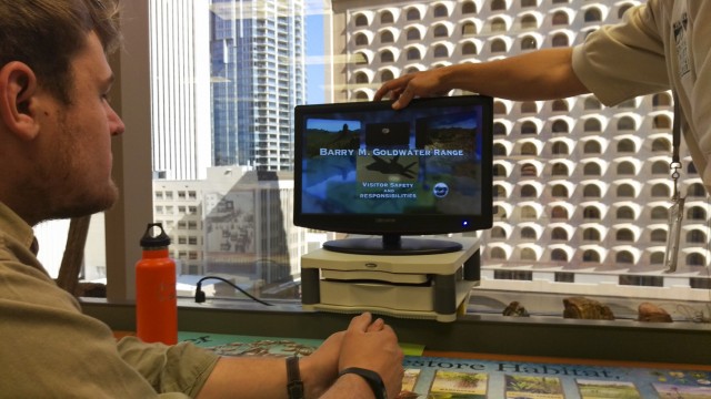
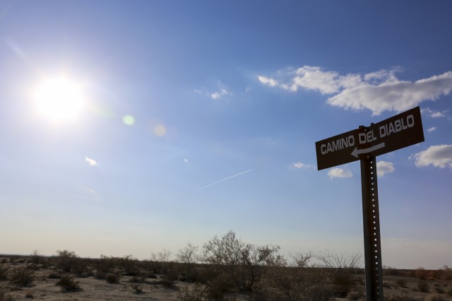
You’re going alone? I wouldn’t recommend it, but if you do, bring your guns. It wasn’t exactly the most comforting warning from a park ranger, and it was one that continued to play in the back of my mind as the hours ticked down until our departure. We were sitting in a BLM office in downtown Phoenix, filling out paperwork which would soon grant us access to El Camino del Diablo. A video played in front of us showing the beauty and desolate nature of this desert expanse, but somehow it failed to distract me from the gravity of the documents we were about to sign. The waiver, which we had expected to be your standard government form, had a list of 14 rather concerning acknowledgments that were anything but ordinary.
Line one read:
The Barry M Goldwater Range and Sonoran Desert National Monument contain the danger of property damage and permanent, painful, disabling, and disfiguring injury or death due to high explosive detonations from falling objects such as aircraft, aerial targets, live ammunition, missiles, bombs, etc. There are also physical injury and health dangers from ground and aerial LASER and other electromagnetic emissions.
Holy crap. Okay on to line two i guess.
A portion the BMGR/SNDM contains the danger of property damage and permanent, painful, disabling, and disfiguring injury or death due to the presence of expended, but still live, bombs, rockets, cannon rounds, flares, and other types of warheads. Unexploded munitions may be encountered anywhere within the BMGR/SDNM: lying on the ground partially or completely buried. These munitions can still explode though they may have lain in the desert for decades. I have been instructed NOT to approach or disturb any military equipment or ordnance discovered.
Did that say warheads? Buried warheads!? Line three must be better.
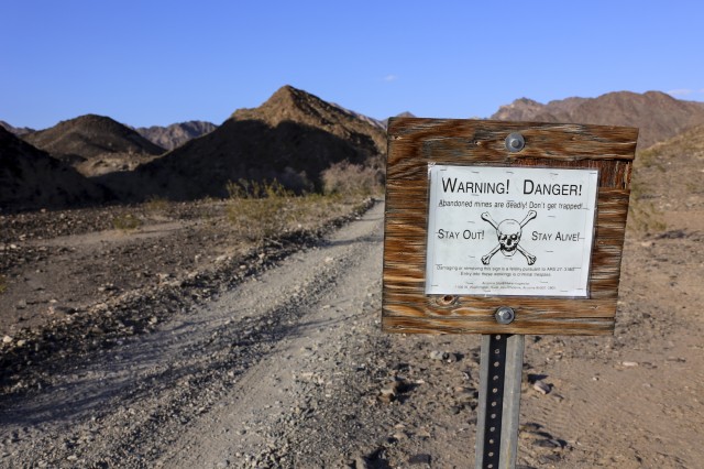
It wasn’t. Line three describes how they are not liable for your death via: hidden mineshafts, hidden weaknesses in the earth caused by ordnance, and my personal favorite, “other natural and/or man-made conditions which are too numerous to recite herein”. Great.
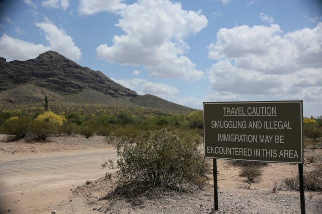
It continues to explain how it is not feasible to mark or warn you of the dangers present (like bombs, unexploded mines,etc) and that it is easy to get lost due to the few signs or markers to direct visitors. Other dangers which you must acknowledge are venomous animals, being mistaken for a smuggler by the border patrol, accidentally being bombed by the air force, encounters with illegal aliens, and the extreme heat for which they lovingly in bold state ” If I get lost, if my vehicle breaks down, or in the case of any emergency, I AM ON MY OWN”. Just to be sure they were clear though, they throw in a little gem at the end which states that if you are killed in any way shape or form while on this trip neither the government or its employees can be held liable by your or anyone else under any circumstances… ever.
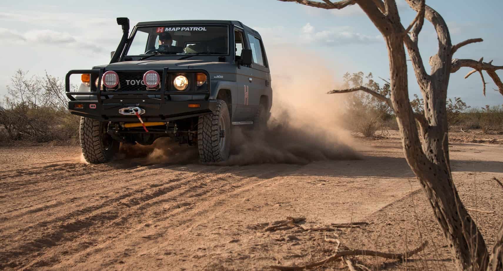
If I were to say I didn’t have second thoughts, I’d be lying; but a glance out the window at our loaded Land Cruiser and the sounds of my cohort signing next to me said we were going. I made a few quick marks and we were heading south.
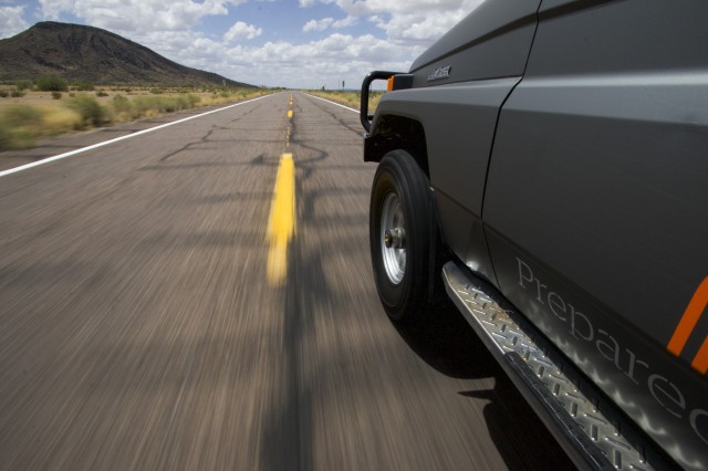
For those who aren’t familiar, the road of the devil spans 148 miles through one of the largest and most remote sections of Sonoran desert in the United States. In doing so it skirts along a significant piece of the Mexican border, punches through several active bombing ranges, and traverses a hot spot for illegal immigration and smuggling. In general it’s a place where you need to know what you’re doing and have a plan. We were starting from the East side of the road and shortly found ourselves rolling into the town of Ajo Arizona.
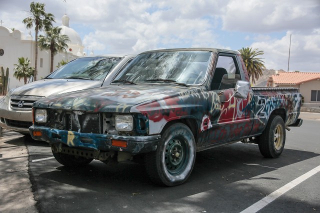
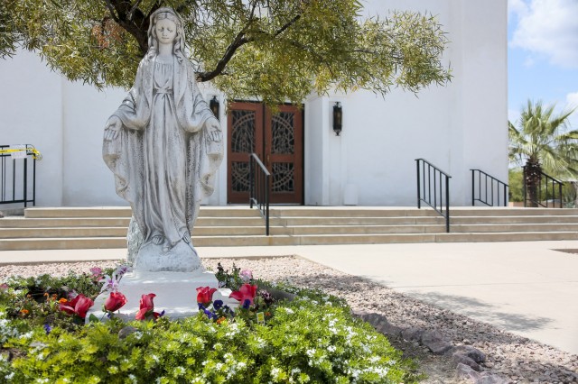
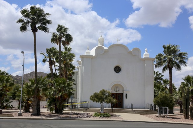
At the moment you hit the main square, the real world disappears and you’re suddenly in a Mexican paradise. You’re drawn in by an inviting symphony of sights, sounds, and smells, each standing in stark contrast to the barren wasteland that lays beyond. Beautiful bleached white churches sit on the west side of the square, as if on display for the Curley School for artists which dominates the backdrop. The air is sweet with the scent of flowers in the courtyard, coffee brewing at the local shops, and the sound of wind blowing through the palm trees. For the moment, the thought of guns and explosions melt away. Of course your stay can’t last forever, and the promise of adventure on the road beckons you into the desert. We slowly rolled out of town, aired down the tires, and traded pavement for a dirt track and a trail of dust.
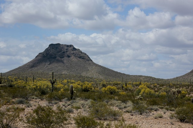
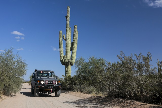
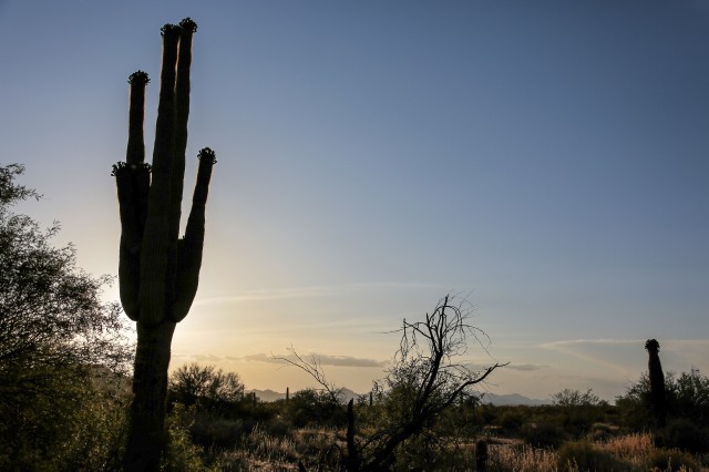
Upon leaving Ajo, it doesn’t take long to realize why this track earned the title of the Devil’s road. As you roll over hills and through washes, the colors of town begin fading to brown, and life slowly shrinks back from the parched landscape. The most notable feature here is the Saguaro cactus, which thrives in this region and spans as far as the eye can see in every direction.
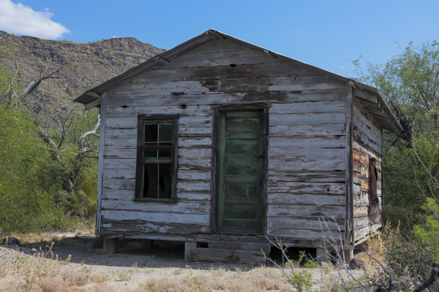
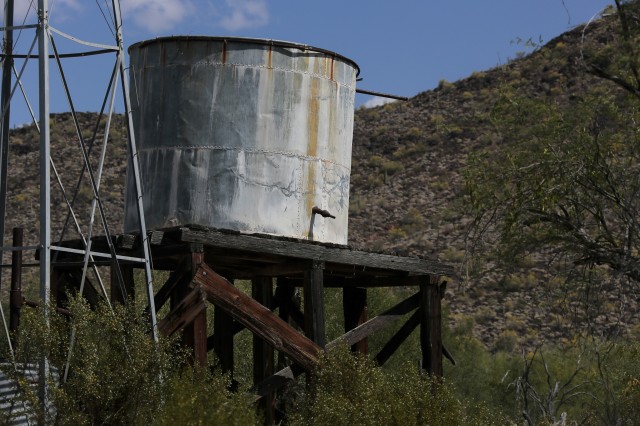
Our first landmark along the route was Bates Well, one of many homesteads you can still visit on El Camino del Diablo. The creaking floors and peeling paint give away the building’s age, but the fact that this home is still standing at all is quite a feat. While hiking around the property you quickly begin to get a sense of how rugged the settlers of this region had been. Just a half hour of taking photos had been more than enough for me to sweat through my clothes, and the searing sun was dehydrating me more with every minute, leaving me with a serious headache. Yet despite these scorching conditions, men and women built homes, planted crops, and mined for minerals day in and day out in this barren land, It’s an inspiring statement of human determination, and certainly makes our daily chores of dishes and yard work seem like a walk in the park.
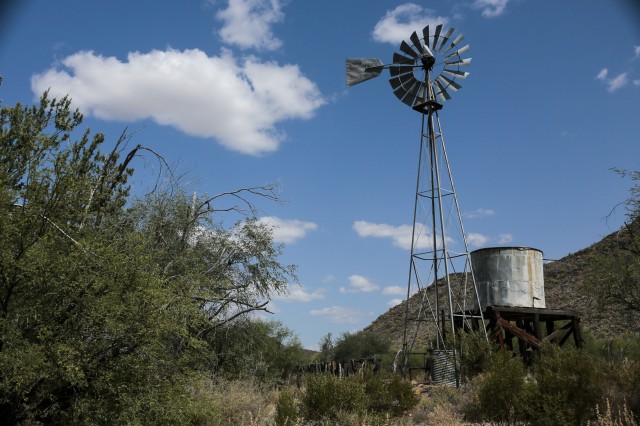
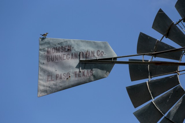
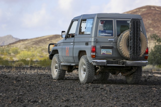
Climbing back into the 70 series I instinctively reached for the A/C before lowering my hand with a sigh. Whether the Land Cruiser was spiting me for my love of Land Rovers or just through plain bad luck, our compressor had died last week, leaving us with no air conditioning, and no refuge from the heat. My headache was now throbbing and I needed to rest quickly before it got worse. We found a suitable camp spot just shy of the Mexican border and without a second thought we were soon sleeping soundly.
My slumber didn’t last long before I was roused by what sounded like voices. Still half asleep I wondered if it had been a dream. I listened intently for the noise again, being sure not to move or make any sign I was awake. Slowly but surely I began to make out footsteps entering the camp with the sounds of whispers in Spanish. My heart was pounding as thoughts of drug smugglers and the park rangers warnings raced through my mind. The footsteps were now within two feet of my head, and I couldn’t help but feel my ARB swag was closer to a body bag than I was comfortable with. The metallic clack of door handles being pulled on the truck echoed in the silent desert. Had I locked the vehicle? Even if they didn’t harm us that truck was our only way home. It had all of our water, our spot devices, and any hope of contacting support in it. I prayed and lay silent for what felt like hours, but couldn’t have been more than another ten minutes. The voices began to fade and the footsteps grew softer. I exhaled deeply in relief, they were leaving.
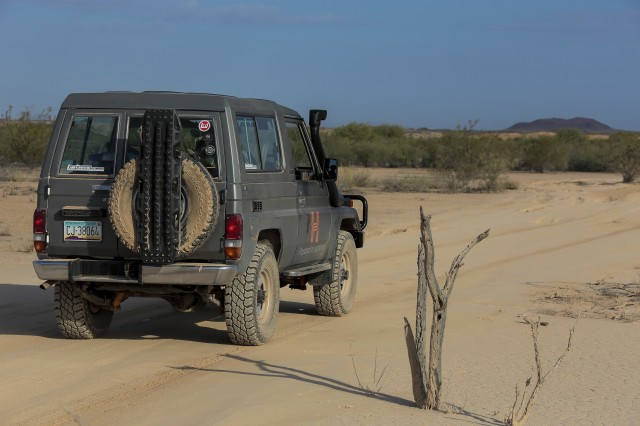
I’d be lying if I said i got much sleep that night, and the next morning came all too quickly. After a brief inspection of the vehicle and a tale of what I’d heard the night before, we took off heading southwest toward the border. There was a lot of ground to cover today and from the descriptions we had heard, much of it would be sandy or technical. Despite our hopes though, the miles of graded dirt continued to tick away beneath our tires.
Recent spikes in illegal activity had led to increased efforts and staffing by the border patrol, and unfortunately for us, more road “improvement” to make driving safer. Areas that had clearly been challenging in the past were now graded over and in some cases even had metal sand tracks covering their surface. Additionally, the traffic from patrols has formed bone-rattling corrugations, some of which were so harsh we had to slow down to a crawl to prevent suffering the fate of previous passersby, whose bolts and loose parts now litter the area.
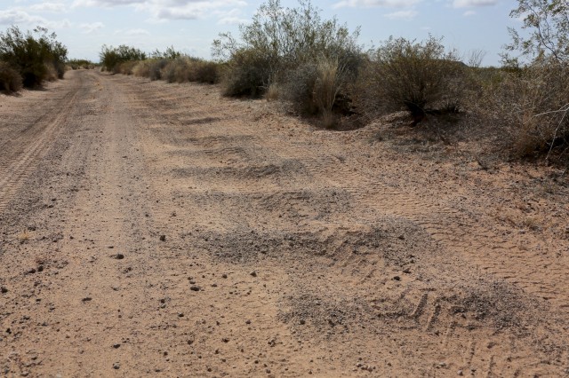
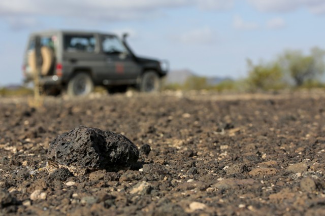
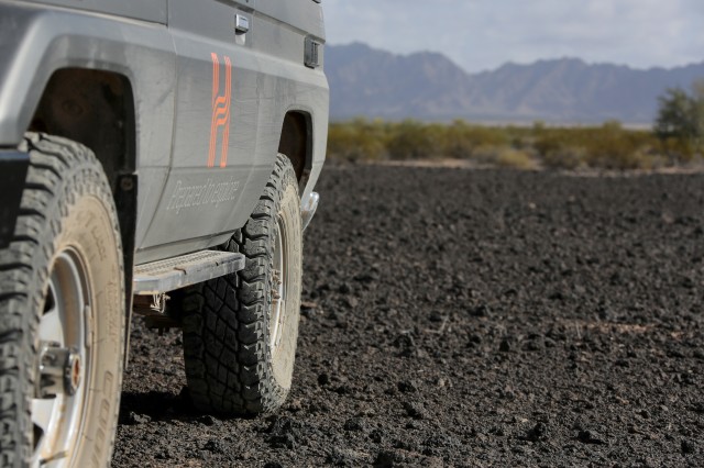
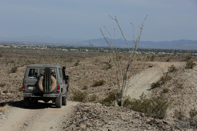
Thankfully, as you drive further into the desert the ground patrols are exchanged for helicopters and the road slowly turns more and more back to two track. All signs of civilization soon vanish and you begin to feel quite isolated and alone on the devils road. Cactus after cactus fly by the window, each sandy wash begins to look like the last, and the only thing to break it up is the occasional grave off the shoulder, un-comforting reminders of exactly what you’ve gotten yourself into. To be honest you have to be a die-hard desert fan to enjoy this section of the track. While I was able to appreciate the rugged beauty and solitude, the miles seemed to tick by slowest here. If it hadn’t been for lava fields and the Tinajas tanks breaking things up, I might have gone crazy.
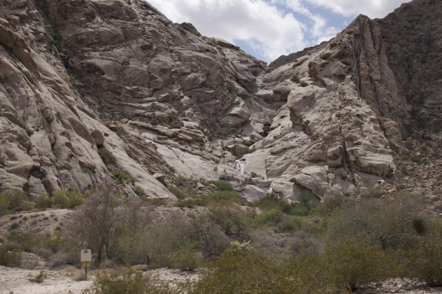
The Tinajas Altas or High Tanks are depressions in the stone created by eons of erosion. For the original travelers of the trail, this was a place of hope where caravans could find water in an otherwise barren landscape. Although difficult to find, a little persistence and some climbing will bring you to the very holes that saved countless lives from dehydration.
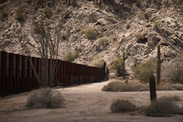
While we were in the area, we had to do what any responsible citizen would do, go take pictures at the border fence. We bumped over rocks and through washes along the thin track down to Mexico. It was a confusing mess in some areas, but despite losing our way twice we eventually made it down to the edge. We were surprised at just how easy it would be to walk around the rusty yet intimidating structure. A quick jaunt up the rocks and the fence disappears completely.
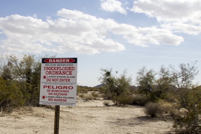
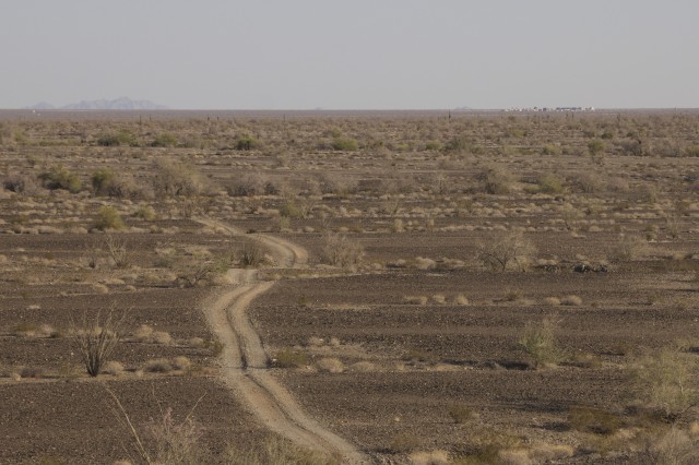
We spent some time gazing through the border before heading Northwest into the heart of the bombing ranges. Here we would find more signs reminding us of our possible demise from lasers, bombs, rockets, and mine shafts; but truthfully, we weren’t concerned. In fact, this was one of the highlights of the trip. We watched the planes in the distance looping and dodging, darting to-and-fro silently like a well rehearsed aerial ballet. It was almost beautiful, and it lured us into a fall sense of serenity right up until a bomb was dropped on the other side of the hill we had parked on. The earth shook beneath our feet and the concussion which impacted our chests was a quick reminder of exactly where we were. It was time to go.
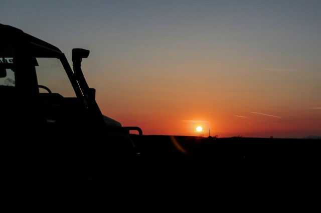
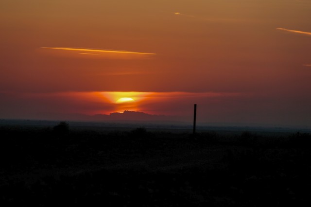
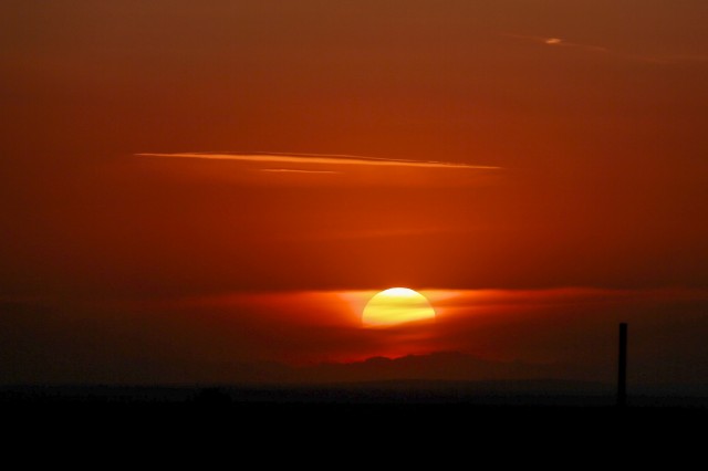
The sun was dropping low in the sky now and the colors were promising a show to be remembered. We pulled over and setup camp just in time to witness a sunset that can only be described as otherworldly. The swirling dust and clouds seemed to belong not to earth, but some far away planet on which we were left to explore. It was one of those moments where you have to stop taking pictures and soak in the beauty and wonder of the world. We traded the cameras for beers and sat down to watch darkness slowly settle in.
Driving down the road the next morning there was a little damper on the mood, it was our last day. Yuma was getting ever closer in our windscreen and the last few miles of dirt were running out beneath our wheels. It was hard to believe that three days ago we had been signing away our lives on government waivers, and now we were looking back and wishing we could do it all over again. I couldn’t help but wonder if the people who fear this area were over-reacting. The park ranger telling us to bring guns, the friends and family warning us of murder, and the many internet voices telling tales of woe.
The reality is that El Camino del Diablo has earned its name for a reason. Smugglers, immigrants, bombs, snakes, and extreme heat aren’t just rumors, but real dangers to travelers; ones that are only amplified when you’re not properly prepared. For the most part the road is safe, but small chances do exist for it to be anything but. The bottom line is this trip is not for everyone, and if you do decide to go we can’t stress enough how important planning is. Acquiring the proper permits, checking current conditions with the rangers, and bringing the appropriate gear are all critical. For us, all of this was part of the experience and adventure of El Camino del Diablo, and we hope it can be for you too.
This route, photos, and suggested campsites are all available now on the Hema Cloud and Hema Explorer application. We highly recommend acquiring a GPX track from these sources as well as carrying paper maps of the region.


