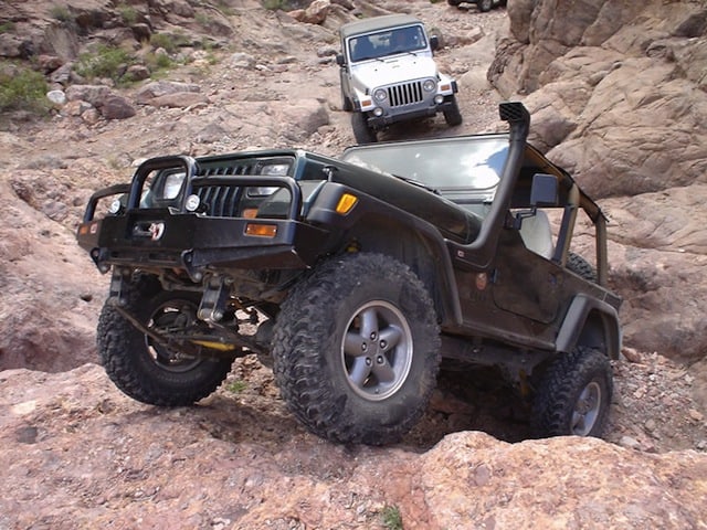
Martinez Canyon and the Cabin Sites is probably the most scenic area in the White Canyon/Superstition Mountains that can be accessed by vehicles. The group met at the intersection of Highway 79 and Price Road N33 03 37.9 W111 22 41.9 (NAD27). The drive to Box Canyon via Price Road takes about 30 minutes and parallels the Gila River for most of the distance. Price Road ends at the mouth of Box Canyon, which is a beautiful trail through a narrow slot canyon, just wide enough for a vehicle. Box Canyon is rated at 2.5, with rocker panel clearance being the greatest consideration.
After continuing through the Box, there is an important bear right at N33 08 58.4 W111 12 02.9. After making the right turn, you travel 2 miles to the turn off to Martinez Canyon. You make a left, and head north at N33 09 11.4 W111 10 34.2.
As you drive towards the cabins, the canyon walls begin to narrow, and tall spires are visible on the cliffs above. You drive through a nice riparian area with cottonwood trees and butterflies many times of the year. This area is particularly sensitive, and the small year round spring provides water to many of the animals that live near the canyon.
After exiting the riparian habitat, you begin seeing evidence of the mining operation, and eventually the cabins. This is a great area to camp. Recent damage to the buildings here is very concerning. These irresponsible individuals will likely result in the trail being closed to protect history of the area. It will likely only be closed to vehicle travel, as vandals are usually too lazy to walk far from their vehicle (or the beer it carry’s).
After the cabins the trail quickly deteriorates into a 3+ rocky wash. The section to the mill proved the most difficult without a bypass.
After leaving the wash bottom, you begin climbing up a series of switchbacks, to a saddle and the remains of the Columbia Mine. You continue driving to the north and down a steep hillside to the remains of the Silverbell Mine, which is well preserved and frequently explored. There are several levels, with narrow (old) ladders to the lower sections.
After the Silver Bell mine is another short, and more difficult series of switchbacks. At the top you are rewarded with an INCREDIBLE view to the south. There is one last challenge before completing the loop. A steep, loose decent with a tight right hand turn at the bottom. Long wheelbase vehicles with good brakes are at the advantage here. The key is to control the wheel rotations without locking up the brakes, which will result in a slide.
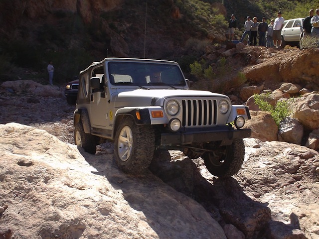
An optional obstacle at the start of the canyon (past the cabins).
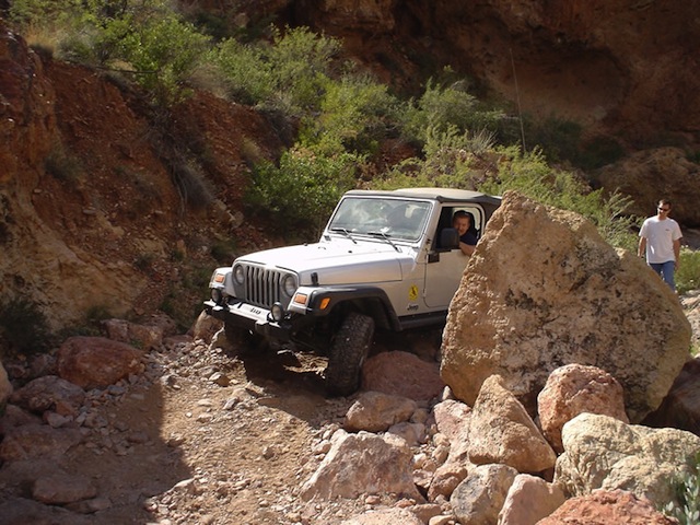
Another optional area, with a tight left hand turn.
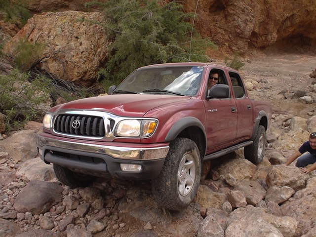
Brett climbing the most difficult portion of the trail without a bypass. His truck is stock height, with rocker protection. His driving skill, and ability to listen to his spotters’ instructions resulted in no damage. Brett and his truck’s abilities were very impressive!

A view of the mill (rock crusher) from the canyon. This building is very well preserved.
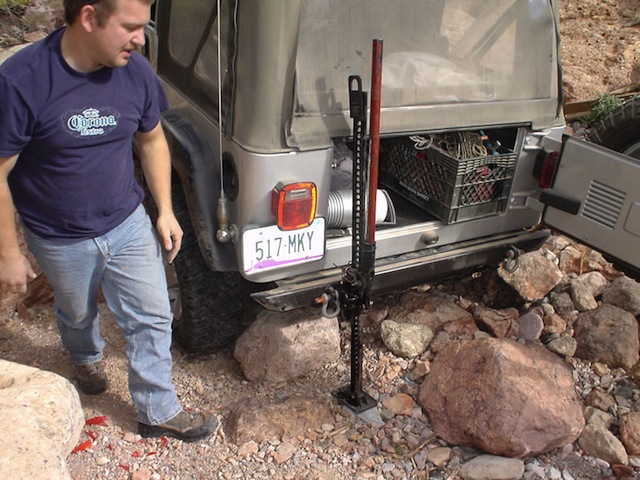
Brian’s Jeep rolled a rock up against the shock mount and frame. His efficiency with a jack made for a quick fix.
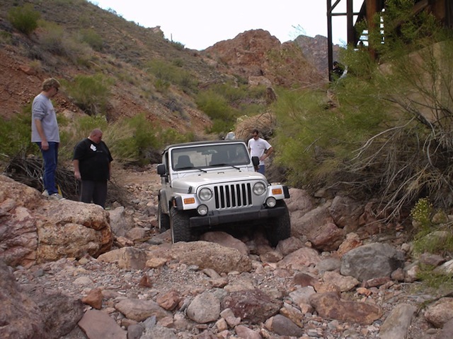
This is one of the more challenging areas, requiring sufficient clearance. Brian did a great job piloting his stock height Wrangler Rubicon through here.
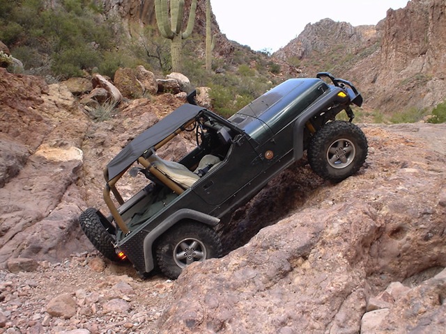
This is the last major obstacle of the trail (optional). My jeep began pulling up the climb and exploded a U-joint. Brian witnessed parts and sparks shooting everywhere.
We started to winch my up, but one of the wires in my Warn control box had abraded, causing a short. He strapped me to the top without incident.

The broken U-joint, which sheered the axle. I was able to drive out of the area in 2WD (with a rear ARB locker), and used the front locker to pull from the passenger side sparingly when required.
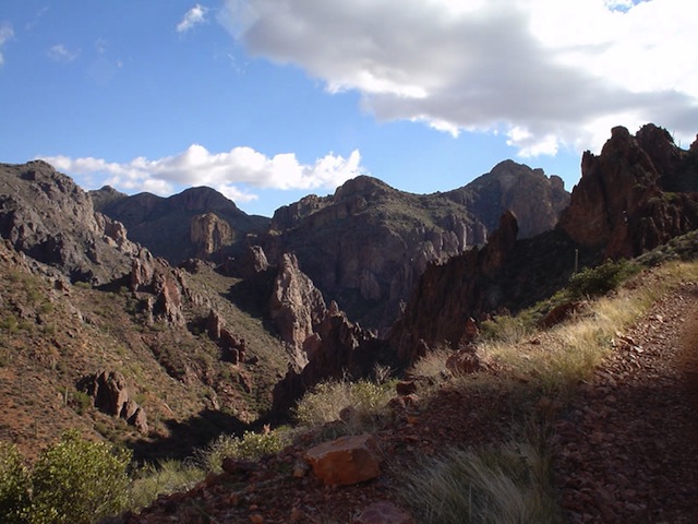
Despite the broken parts, we were still rewarded with beautiful views!
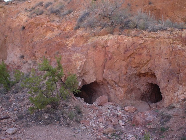
Silverbell Mine. Enter at your own risk!
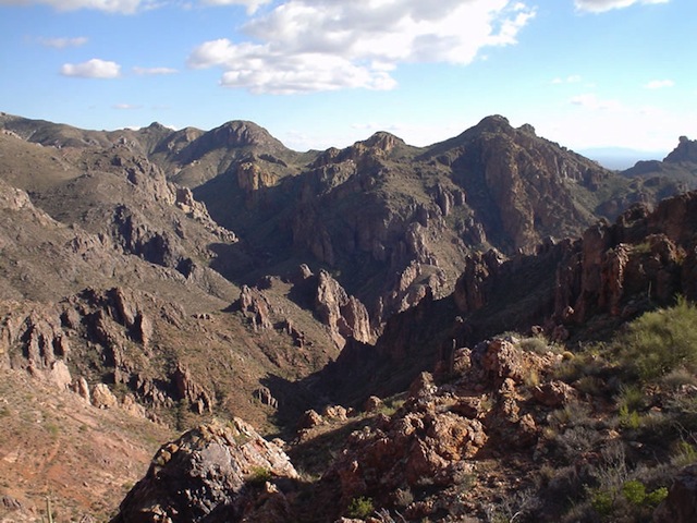
What a beautiful place!
Trip Detals
Date: 1/17/2004
Trail Time: 4 hours
Location: Florence Junction, Arizona
Mapping / GPS / Waypoint File: .JPG Map Image / .MPS (Mapsource) Track File / .TXT Waypoint and Track
Trail Rating (1-5 Scale): 3.5: Longer vehicles should have rocker protection or sufficient clearance. One locking differential will make the more challenging areas easier, but it is not required with good wheel travel.
Major Obstacle: The most challenging sections of the trail are between the cabins and the mill site. The steep decent at the old “luge” site is more intimidating due to the tight right-hand turn required at the bottom. ONly the right vehicle with a good driver could climb the hill.
- Attendees:
- Scoot and Stephanie- 1994 Jeep Wrangler Sahara
- Brian and Darrin- 2003 Jeep Wrangler Rubicon
- Brett- 2002 Toyota Tacoma Crew Cab TRD


