

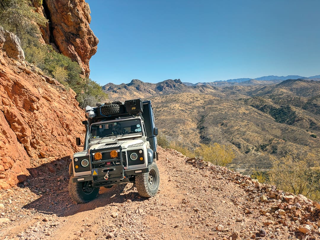
The city of Nogales, Arizona, has long been our preferred border crossing as we make our way down, or up, from our base in central Mexico. Yes, the Baja route south is far more fun, but it is too easy to get stuck for a month, as you soon convince yourself that just one more week on that isolated beach is an excellent idea. Overlanders often choose to head to Baja via California on their way to southern Mexico, but there is another way: Coronado National Forest, and it does not get nearly the attention it deserves. Its proximity to the volatile Mexican border deters many who fear run-ins with cartels and human traffickers, but this is largely unfounded intel (although it can happen). Having explored much of the US, it occurred to us that we had never ventured into this area, and it soon became apparent that very few others had before us. There was a distinct lack of information available, as most overlanders are drawn to the more glamorous locales offered by northern Arizona. Truth be told, much of the Coronado does not seem all that appealing from the view of the interstate as you blast past, but we would soon learn that it is a well-kept secret, a desert paradise for those who seek gentle and challenging trails, history, epic vistas, unique experiences, and sublime camping options. After an entire spring month spent in the area, we fell deeply in love with the desert and its mix of inhabitants: spiky flora, skittish fauna, mountain passes, warm days, and cool nights.
General Information
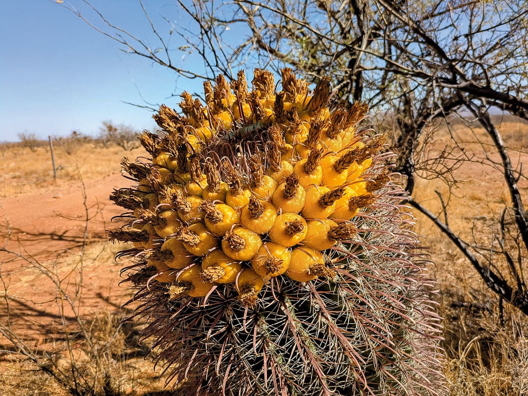
Coronado National Forest is a sprawling expanse of public land located primarily in southeastern Arizona, extending into southwestern New Mexico. Administered by the US Forest Service, it encompasses a dozen or so mountain ranges often referred to as the Sky Islands due to their dramatic rise above desert lowlands. The diverse landscape provides a rich tapestry of ecosystems, from saguaro-studded slopes at lower elevations to coniferous forests in the higher reaches, creating habitats for a wide array of plant and animal species.
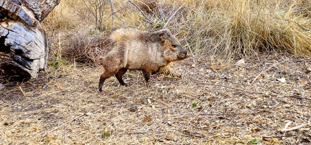
Established in 1902 as the Santa Catalina Forest Reserve and renamed in 1908, the Coronado covers approximately 1.78 million acres. It is divided into multiple ranger districts, each with distinct environments and recreational offerings. Visitors come to hike, camp, birdwatch, rock climb, and take scenic drives. Many cultural landmarks, including ancient ruins and petroglyphs, reflect the heritage of this region’s Indigenous peoples. It is home to numerous designated wilderness areas that serve as havens for wildlife and preserve pristine natural settings, including the Rincon Mountain Wilderness, Chiricahua Wilderness, and Buenos Aires National Wildlife Refuge, located near Arivaca. You may encounter black bears, coatis, and various bird species that thrive in the unique transition zones between the desert and alpine environments, although jackrabbits, white-tailed deer, and herds of reckless javelinas are most commonly sighted.
Areas such as the Santa Catalina Ranger District draw many visitors to iconic destinations like Mount Lemmon, offering cooler temperatures than the surrounding desert. Rugged terrain and varied elevations create microclimates that sustain remarkable biodiversity and present opportunities for scientific research on flora and fauna. The forest also plays a role in watershed protection, ensuring critical water supplies for nearby communities and farmland. Through careful management, the US Forest Service aims to balance conservation with sustainable use. Historic sites, including remnants of mining and ranching activities, add to the cultural tapestry and recall earlier periods of Arizona’s development and what used to be northern Mexico.
The Drive
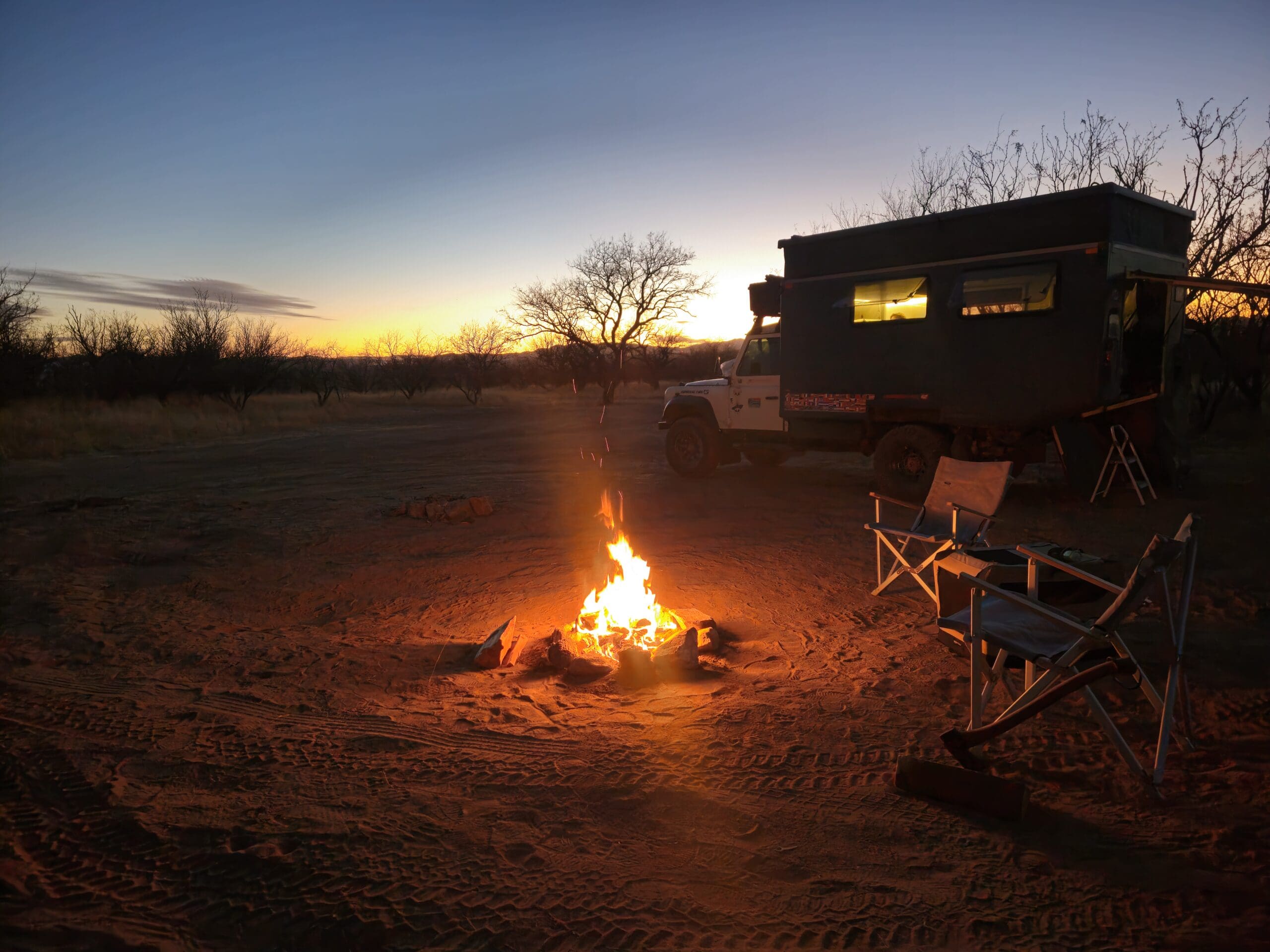
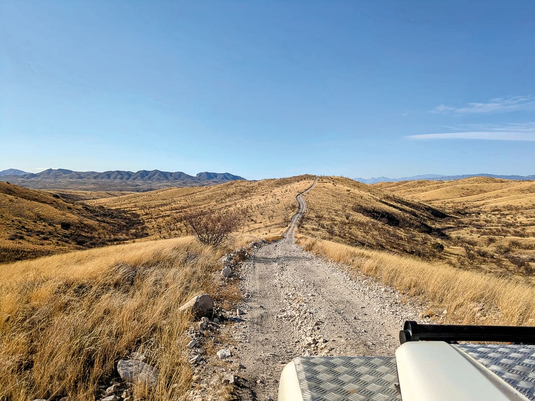
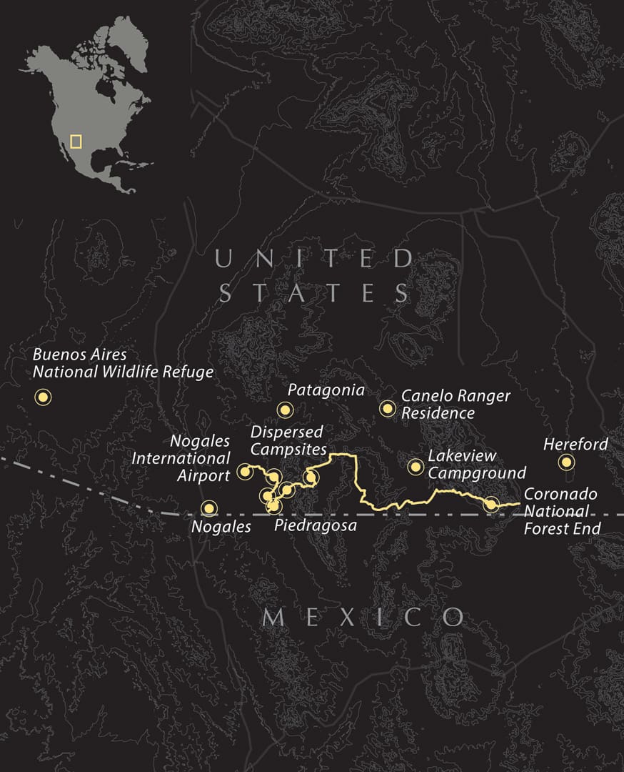
The trail unfolds just beyond Nogales International Airport, where the pavement gives way to adventure. Turning right onto Upper Providencia marks the beginning of a nine-mile track that steadily climbs toward Montezuma Pass Road. The journey begins gently, passing a spacious, dispersed camp area with fire rings – frequented by ever-present US Border Patrol vehicles – and surrounded by scrubland that quickly gives way to rugged mountain terrain. The early miles are smooth and inviting, but that ease soon fades. The ascent grows steeper, the surface looser, and low range becomes your friend. The descent that follows is equally demanding, carved by erosion into off-camber ruts and scattered with loose rock. It’s a short burst of technical challenge before the trail eases into a winding ribbon of dirt and dust, narrow in places and brushing close enough to leave faint pinstripes on wider vehicles. The payoff is worth it, with vast views of the southern Arizona ranges and occasional glimpses of coues.
Rejoining the Montezuma Pass Road, a short detour beckons. A right turn onto Piedragrosa, Forest Road 4667, leads to a five-mile loop that traces the edge of the borderlands. The track is well maintained but undulating, with stretches of soft sand and scattered campsites set back from the border wall. It’s a fascinating, isolated stretch of trail where the wall itself ends abruptly, a reminder of the strange geography of boundaries. The air feels still here, and you’ll likely have the route to yourself.
From the junction, the Border Road runs directly along the US-Mexico line, marking the southern boundary of the Coronado National Forest. From the 4667 connector trail, the views stretch for miles – the fence tracing the landscape, the desert rolling beyond. A short detour toward the wall can be a striking experience, although it’s best to confirm with the authorities before approaching directly, as access and safety conditions can vary. The dirt is broad and firm, its surface corrugated from frequent border patrol runs. Encounters with agents are everyday and cordial – this is their patrol zone – and it’s wise to heed their advice if they offer updates on conditions or access.
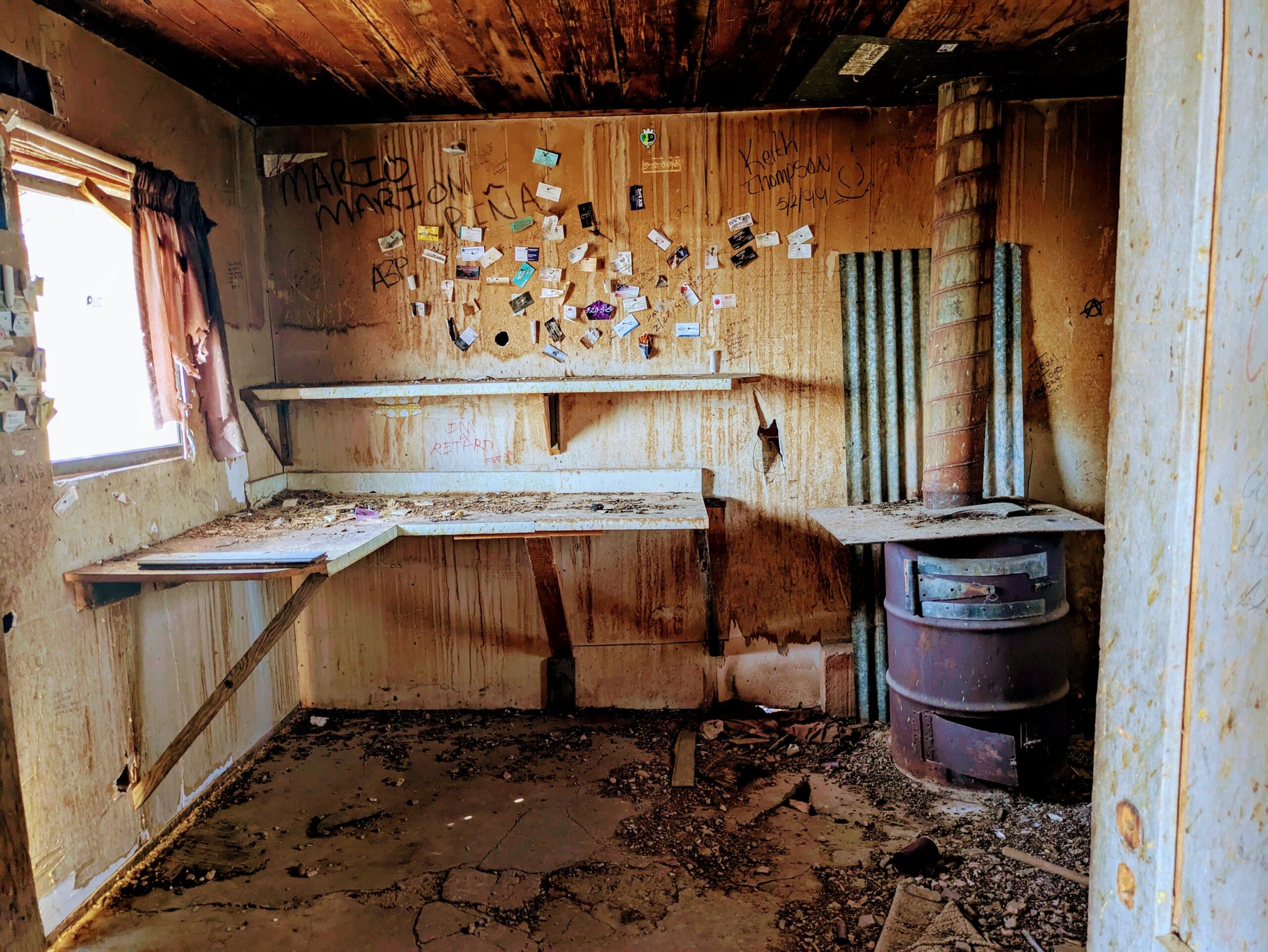
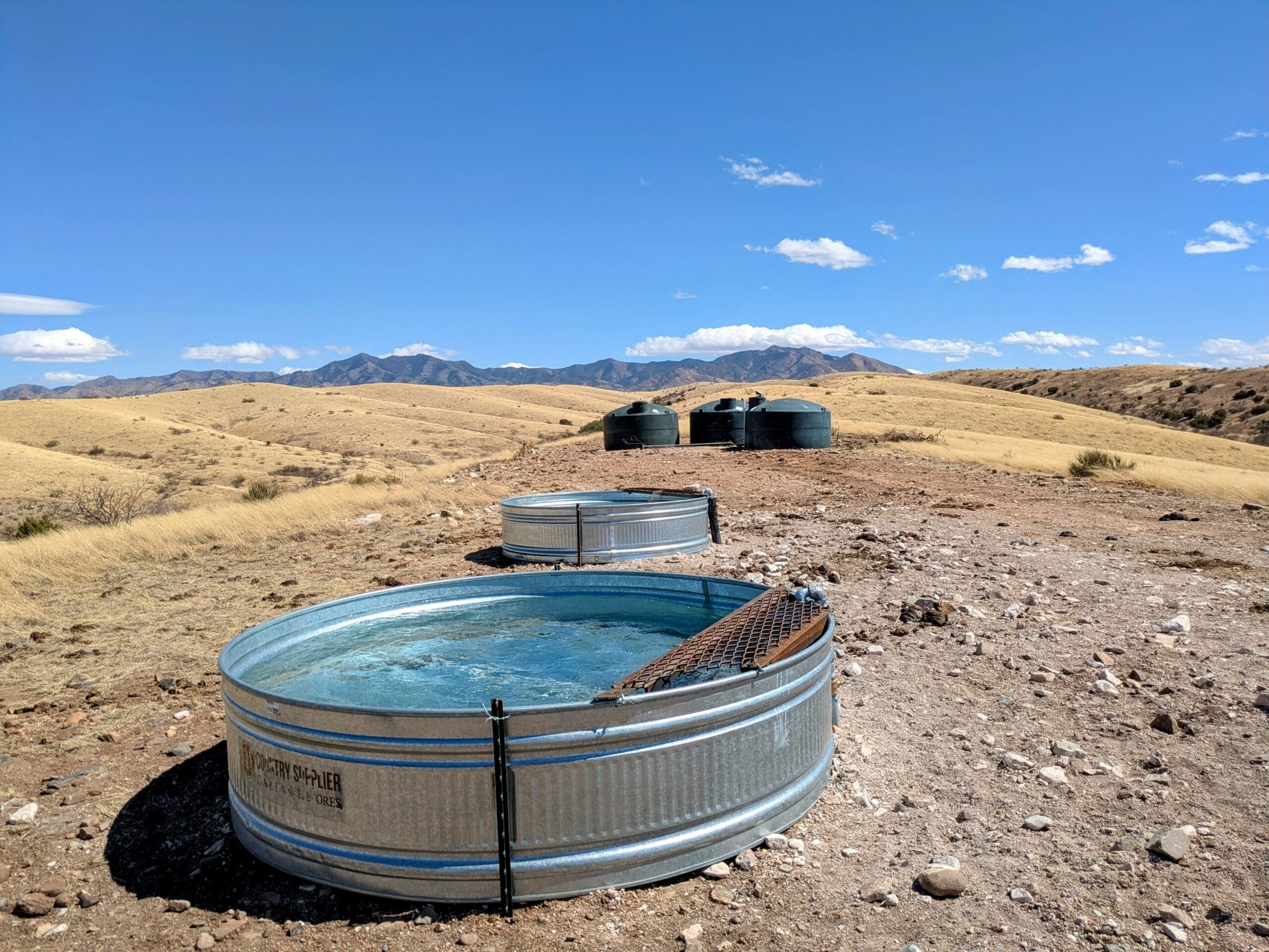
Returning once more to the Montezuma Pass Road, the route northward transitions toward the gentler elevations of South Harshaw Road. At nearly 5,000 feet, the environment shifts dramatically into high grasslands framed by canyons and distant peaks. Mount Wrightson dominates the horizon, anchoring views of some of Arizona’s most scenic country. Wildlife thrives here – mule deer, pronghorn, javelina, and a sweep of raptors and songbirds. It’s an easy place to lose hours, driving and watching the landscape unfold. Cell coverage fades, so offline navigation is essential. The road eventually connects to Patagonia, a charming town ideal for restocking and regrouping.
A right turn onto Apache Tank Road delivers a change of pace. It’s an easy, flowing trail that winds through open grasslands and rolling hills, eventually descending into wooded valleys prone to flash floods. Scattered spur tracks lead to excellent campsites – flat, sheltered, and often marked by fire rings. The views across the prairie toward the Huachuca Mountains are broad and cinematic.
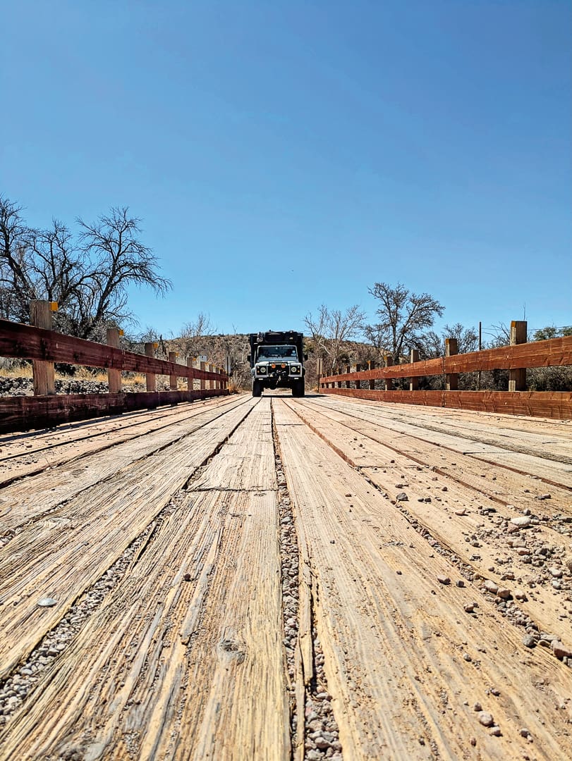
Further north, North Harshaw Road picks up the trail, a well-used double track threading through open range and linking to the Patagonia Loop. It’s fast and mostly level, suitable for most vehicles, though the washboard surface can shake even the hardiest suspension. The Patagonia Loop itself circles through the same elevated grasslands, crossing a landscape of golden hills and oak-studded ridges. Wildlife sightings are frequent, and the rhythm of the road – gentle curves, long sightlines, and big skies – makes it one of the most rewarding stretches of the journey. The loop reconnects with Montezuma Pass, where a left turn continues the final leg.
The Montezuma Pass Road is technically simple but physically rough. Corrugations rattle the chassis, and rocky wash crossings test both patience and hardware. In narrow sections, the road shrinks to a single lane, winding through dips and cattle guards. The surface can be punishing – bad enough, in one case, to shear the rear sway bar from our near bulletproof Defender. Maintenance crews were busy repairing the trail when we visited in the spring of 2025; it should hopefully be much smoother now. Despite the jolts, the scenery compensates: sweeping desert vistas, elevation gains to over 6,300 feet, and the surreal sight of the Sonoran landscape stretching across two countries.
From the eastern end, a short detour climbs to the scenic overlook above the visitor center, a fitting conclusion to a long day’s drive. The road to Highway 92 and Sierra Vista lies below, where the forest gives way to civilization once more – complete with food, fuel, and a welcome shower.
Access
From the west From Nogales and/or Beyerville, head north on Arizona State Route 82 toward Nogales Airport. Just before the Cattle Mex/T4 Ranch (31°27′09.1″N, 110°50′00.8″W), turn right onto the dirt track named Upper Providencia.
From the east Travel along Route 92 and turn onto South Coronado Memorial Road, which leads directly to Montezuma Pass Road, turning into a gravel road after four miles (31°20′54.9″N, 110°16′26.5″W). Most of the pass is uphill, so ensure your cooling system is ready for the journey.
Logistics
Total distance 69 miles
Suggested time Two days, excluding time spent exploring spur trails along the route.
Longest distance without fuel 75 miles
Fuel sources
Hereford, Arizona 31°26′14.4″N, 110°14′52.7″W
Nogales, Arizona 31°21′44.7″N, 110°54′24.1″W
Difficulty (2.5 out of 5.0)
Most of this trail is a well-maintained gravel road, though some sections have severe corrugations and sandy patches. An AWD vehicle is recommended; off-road trailers should have no issues.
When to Go
The best time to visit is in spring, fall, and winter, from late September to April, to avoid the extreme summer heat. Mount Lemmon Ski Valley receives over 180 inches of snow, making it possible to combine these trails with a ski trip. Just be sure to check for any trail closures before heading out.
Permits and Fees
The America the Beautiful Interagency Pass or the Coronado National Forest Annual Pass is required to access certain recreation areas, trailheads, and fishing or boating sites. Dispersed camping is allowed along sections of this trail and is free.
From October to April, you can acquire a fuelwood permit for $20, which allows you to harvest “dead and down” wood for personal use. These permits are available at the Ranger District offices.
Suggested Campsites
Lakeview Campground
Established campsite overlooking Parker Canyon Lake, 5-mile hiking trail around the lake accessible from this campsite, grill and table per site with potable water and an ablution area (no showers).
31°25′42.1″N, 110°27′02.4″W
Dispersed Campsites
Fire rings, ample space for large or small rigs.
31°36′69.1″N, 110°79′75.8″W
Wild Camping Spots (Refer to iOverlander)
31°40′74.1″N, 110°78′25.1″W
31°40′37.1″N, 110°76′93.6″W
Canelo Ranger Residence
Fully equipped, two bedrooms, accommodates seven people, available to rent, ATV/SxS access.
31°33′6.5531″N, 110°30′59.2247″W
Contacts
Sierra Vista Ranger District in Hereford (520) 378-0311
Nogales Ranger District in Nogales (520) 761-6000
onX Off-Road onxmaps.com
Resources
The onX app works offline, provides detailed descriptions of routes and trail conditions, and allows you to download and share your planned routes with family and friends. Paper maps are also available at the Forest Ranger offices in Hereford or Nogales. The Avenza app lets you download US Forest Service maps for offline use while on the trails.
It is recommended that travelers use GPS devices (such as a phone and a dedicated GPS) and paper maps. This track, along with all other Overland Routes, can be downloaded from our website at overlandjournal.com/overland-routes/.
Overland Route descriptions are intended to be an overview of the trail rather than turn-by-turn instructions. We suggest you download an offline navigation app and our GPX track, as well as source detailed paper maps as an analog backup. As with any remote travel, circumstances can change dramatically. Drivers should check road conditions with local authorities before attempting the route and be ready to turn back should extreme conditions occur.
Cartography by David Medeiros (mapbliss.com)
Editor’s Note: This article was originally published in Overland Journal’s Winter 2026 Issue.
Our No Compromise Clause: We do not accept advertorial content or allow advertising to influence our coverage, and our contributors are guaranteed editorial independence. Overland Collective may earn a small commission from affiliate links included in this article. We appreciate your support.
