

“Did you know there is a part of Utah that is always on fire?” I gave my husband a look of pure disbelief as he went on to say, “I guess there are these weird cracks in the ground above underground coal veins that are burning and always have been. Want to go see it?” Well, how can you say no to a request like that?
As schedules get tight like they always do at the end of the year, it seemed like we had to shoehorn this trip in. With all of the regular life stuff and impending holidays, finding time to go camping seemed near impossible. Looking at a calendar, I told him that we had one weekend to make it happen. So we did.
The trip was planned for Sunday and Monday, so come Thursday we decided that we should probably do some research and put together a route. The highway drive there would be about 3.5 hours, so we’d need to leave just after work on Saturday, find an easy place to camp that night, and then hit the trail Sunday morning. If we got most of the trail done Sunday, we’d be able to finish Monday morning and make it home by dinner. Ten minutes of research revealed a few trip reports stating that the trail was a smooth dirt road, approximately 80 miles long. Two weekend days to cover that kind of trail sounded perfect, maybe even too easy since a minivan driver reviewed it (negatively) on Tripadvisor.
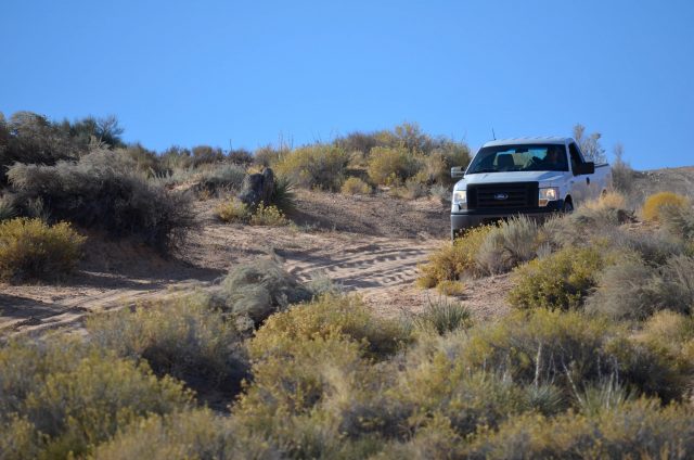
Saturday evening came along and we hit the road right on schedule. After stopping for dinner and a time zone change, we rolled into Lone Rock Beach Campground around 11 p.m. Fortunately for us, the busy season had ended so we had no trouble finding a beautiful spot right off of the water. We started unloading the Jeep and found that the moon was so bright, we didn’t even need headlamps to set up camp.

After getting the tent together, we tried our hand at some moonlit photography. I’m pretty happy with this little gem.
Our itinerary involved a significant amount of driving on Sunday, so we hit the hay and woke up with the sun the next morning. After the obligatory sand-driving photoshoot, we got back out onto the highway and drove up to Big Water, Utah.
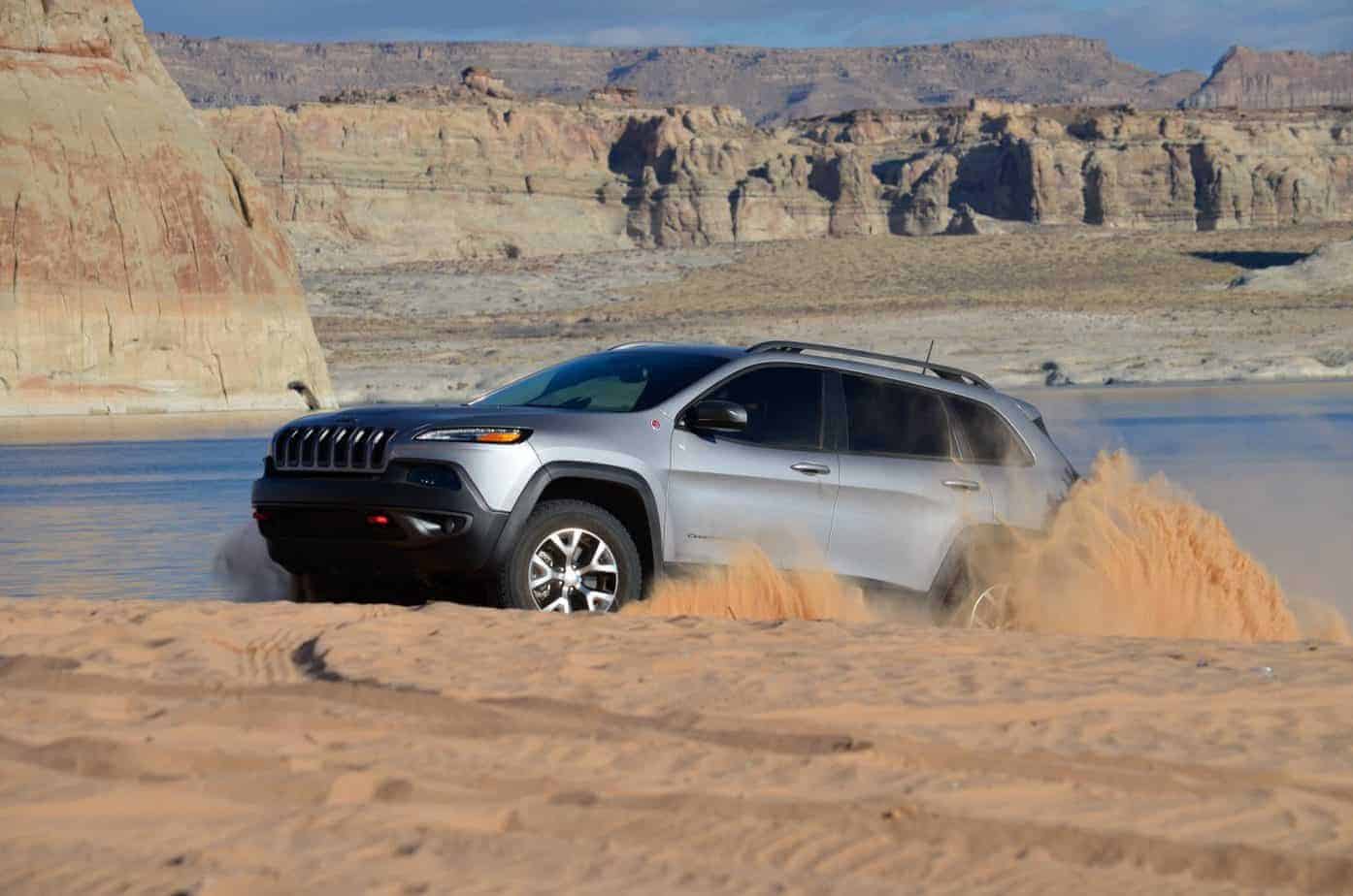
If playing with the sand mode is wrong, I don’t want to be right.
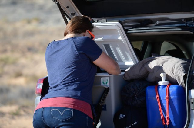
The Engel is such a nice addition to any camp trip. Not dealing with soggy food and bags of ice is a huge convenience. Unless you accidentally bump the temperature dial up to freeze and a carbonated water bomb goes off inside—but that is a story for a different day.
The start of the trail outside of Big Water. Most of the trail is a smooth dirt road here, but the scenery looks like it’s from another planet.
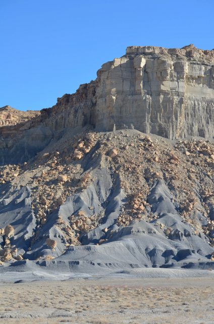
This frozen-in-motion falling rock visual is a recurring one in southern Utah. It makes me feel like Utah is still under construction and isn’t quite finished being built.
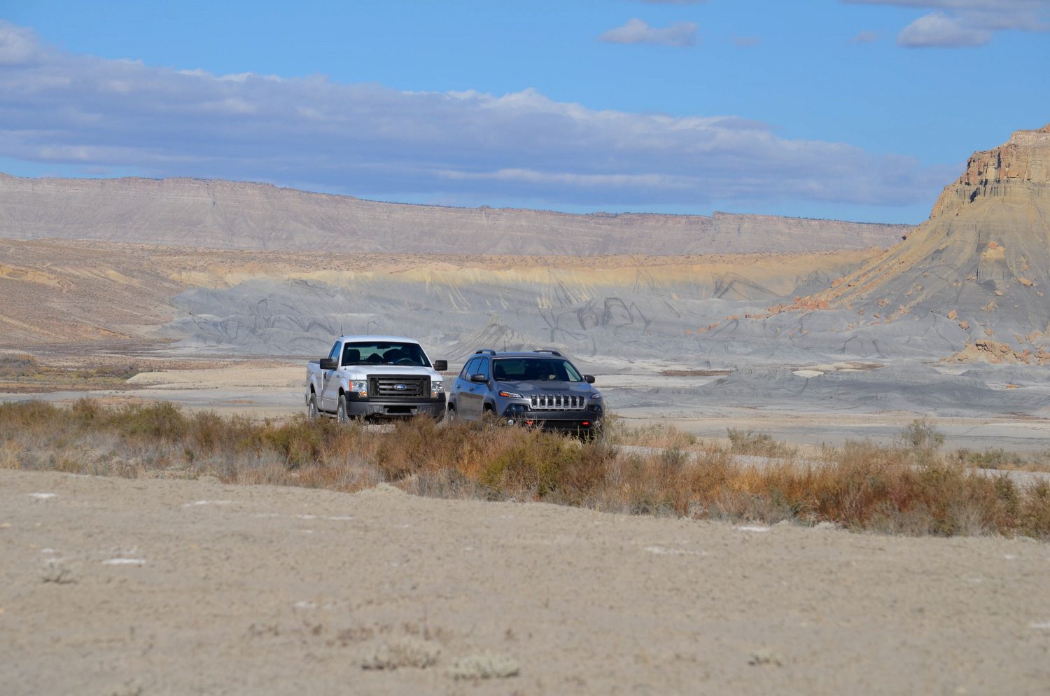
The smooth trail outside of Big Water allowed us to cover a lot of ground quickly and we made it to the top of Smokey Mountain Road by noon. Double-checking the GPS, we knew we had to be in the right area, but there wasn’t any smoke. We set off on foot to try to find the fissures in the ground that might be letting out smoke, but all we found was a sulfur stench and dozens of eerily-deep holes in the ground. A moment of awareness came to me and I thought, why are we all splitting up looking for holes in the ground? Some of them were so precarious it was easy to imagine one of them collapsing and transporting you to a (literal) hell. We must have all been thinking it because we all picked our heads up and started walking back to each other at the same time. We concluded that if it weren’t for the high winds, we would have found what we came for and made our way back to the vehicles to head to find the next view, Alstrom Point.


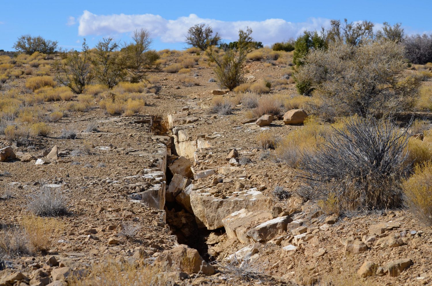
Cracks and holes in the ground like this were numerous. Sadly, none of them were smoking, but I imagine the smoke comes out pretty slowly and the wind was blowing it away.
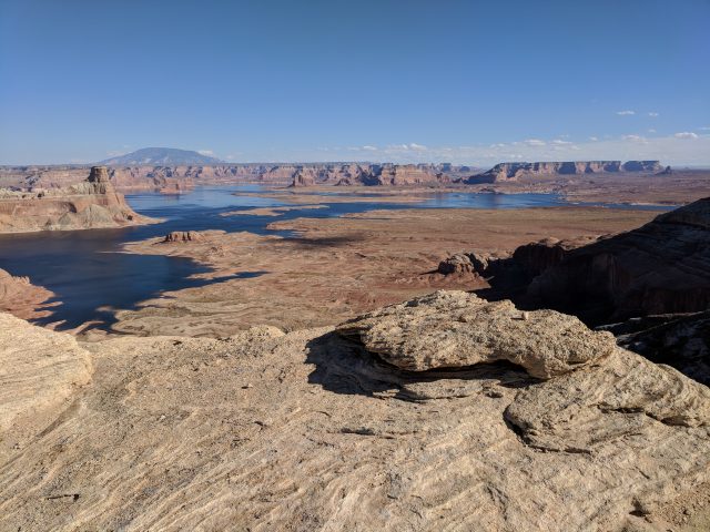
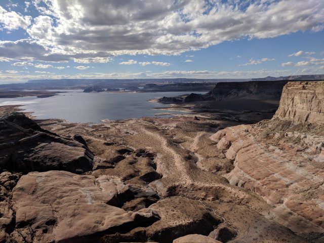
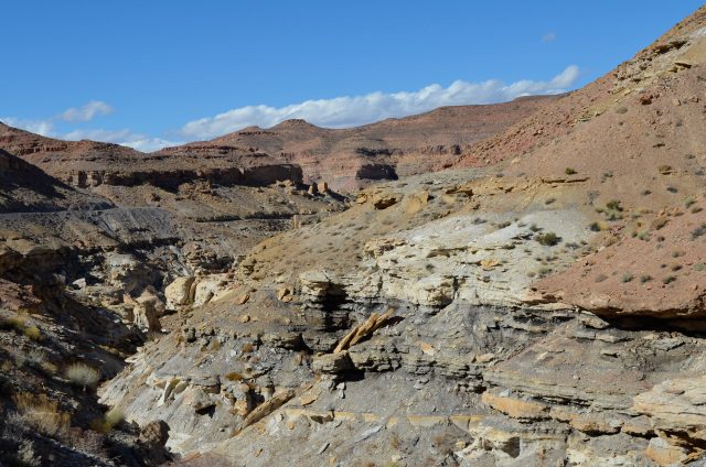
The trail offshoot to Alstrom point was about 5 miles of smooth-ish dirt road. The views of Lake Powell were stunning.
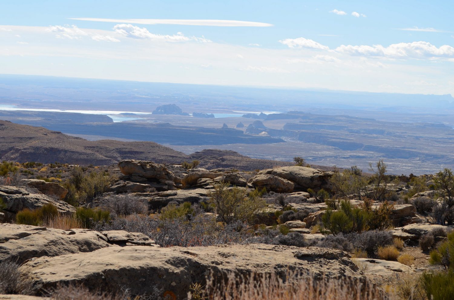
After lunch at Alstrom Point, we hit the road again as we realized we still had way too much trail to cover before we could make camp. It was nearly 2 p.m. and we weren’t even halfway to where we planned to camp that night, so we pushed on to get as far as we could before the sun went down. Since we were racing to get to our next campsite, we didn’t get a lot of photos of the next sections of the trail. The scenery was otherworldly, and the trail had a few sections with little ledges or dropoffs. This gave us the idea that we might be on a different trail than we intended to take, but the views were too incredible to let us question the trip much. As the sun started to near the horizon, we came to this wild section of road with switchbacks, steep grades, and shelf roads. Just our style. Did that minivan really take this road?
As night fell, we finally found a little place to call home for the night. We didn’t make it as far as we would have hoped, but we were tired from driving and had to call it a day. Again we set up camp in the dark, but this time we were greeted with an exceptional moonrise.
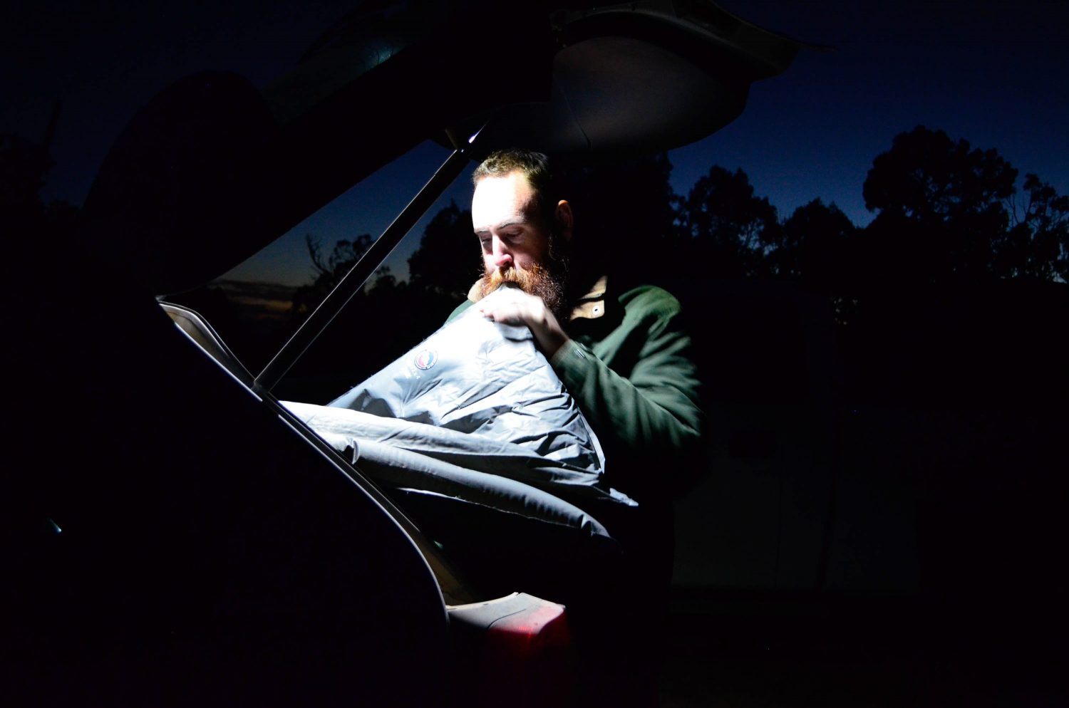
The ARB Adventure Light is really handy for camp setup; it easily provided enough light to set up the tent and cook dinner. Bearded man not included.
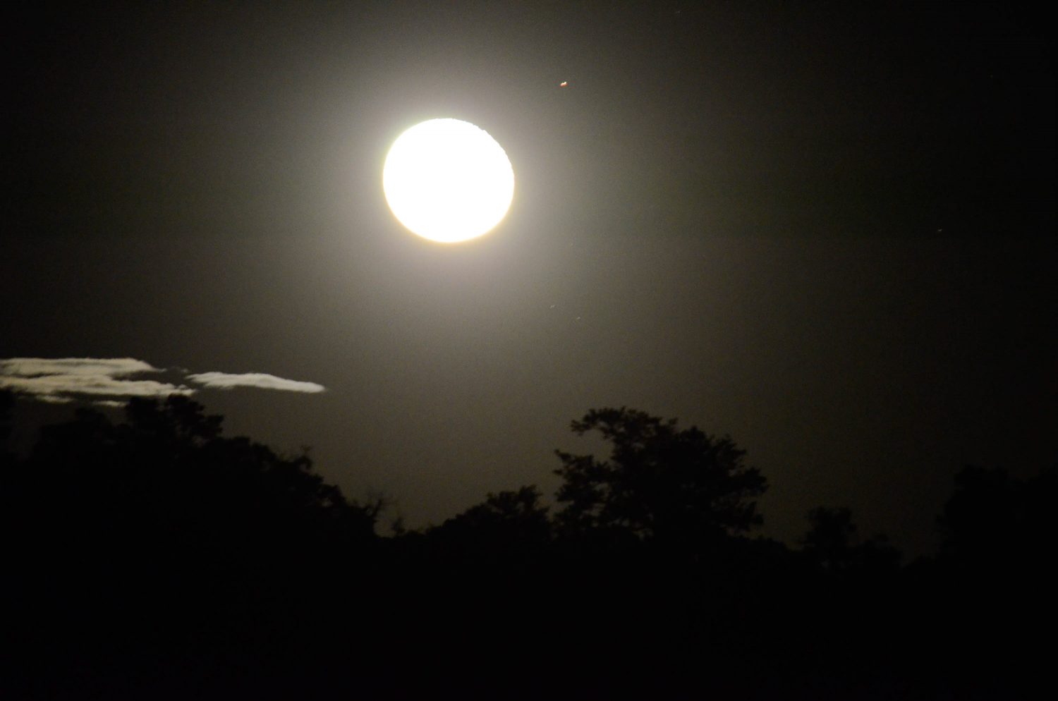
Photographing the moon is harder than you might think, but I’ll never figure it out if I don’t keep trying.
Knowing that we had a lot more trail left, we got up early again and headed on our way. The rest of the trail was smooth and fast, and we made it into Escalante by lunch. This surprised even us because the trail ended up being 140 miles, which is almost double what we were planning on. That couldn’t be the same road that we read about.
Nevertheless, we had a great adventure through gorgeous southern Utah. We also think back on it as a scouting trip. From that sojourn, we came back with at least a dozen ideas of other places in the vicinity that we want to explore. And in the end, shouldn’t your adventures leave you wanting for more?
A few notes:
We were definitely on the wrong road. I’d suggest doing more than 10 minutes worth of research when cramming a long trip into a 2-day weekend.
For scenic highway connoisseurs, I’d highly recommend the drive along Highway 12 through Escalante.
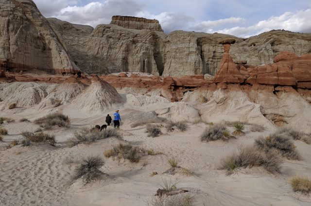
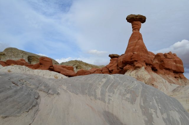
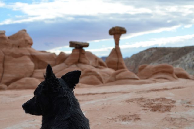

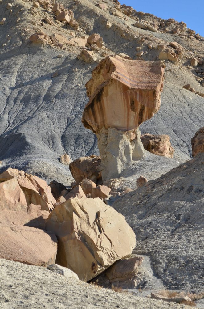
The Toadstools west of Big Water are just a 1.5-mile round-,trip hike from the parking lot just off of the highway.
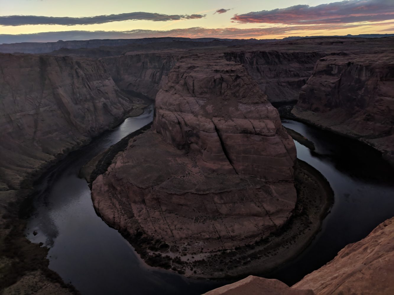
At sunset on Monday, we stopped at Horseshoe Bend just south of Page, Arizona, to get our typical tourist pictures. The walk is just 1.2 miles round trip.