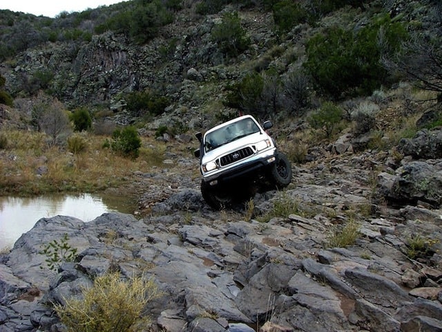
This is a very new trail that sees a great deal of water, with deep standing pools and mud bottoms. The approach to the first obstacle requires driving through the mud, soaking the tires before an attempt to traverse the very cambered shelf. There is apparently a more direct approach, but it was under several feet of water.
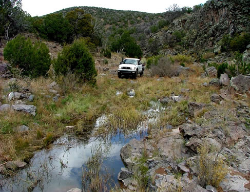
- 1. The approach
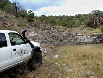
- 2. This picture shows the angle of the shelf starting the climb
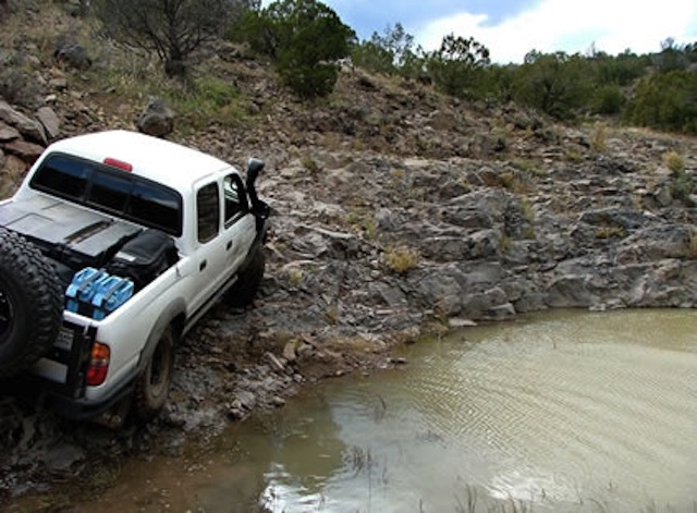
- 3. The start of the climb with wet tires made the truck want to shift towards the water
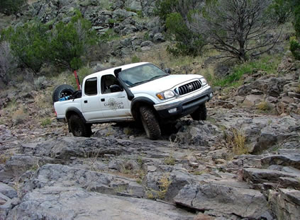
- 4. As the rear tires climb up the ledge shown, the truck approached a 25 degree tilt. Still safe, but interesting nonetheless…
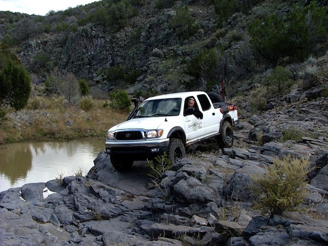
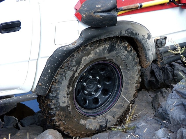

Overall the obstacle was a great cambered challenge, made slightly complicated by wet tires on smooth rock. After the side tilt, I turned down towards a narrow ledge that leveled the truck out and led to the exit up the canyon, and on to more of the trail.
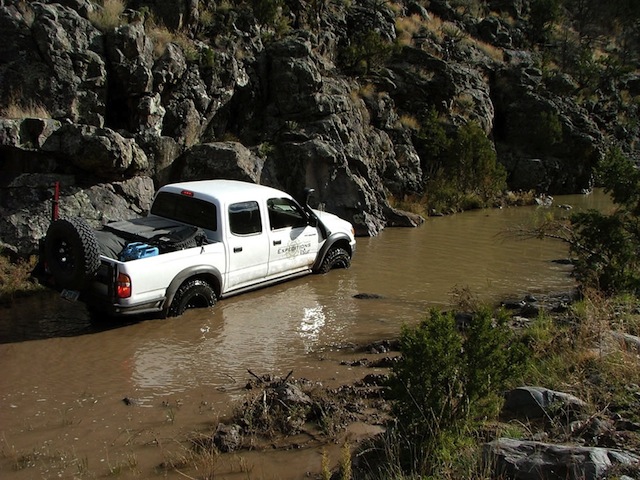
After the shelf we came across a deep, muddy trench that blocked access to the rest of the trail. The water was so muddy that we could not make out the depth of the water or the size (and location) of any rocks below. At the point this picture was taken the front tires were on the edge of a rock or shelf. Moving forward even slightly, I felt the front end start to go deeper, causing the exhaust to hiss against the water in response. It was time to turn around…
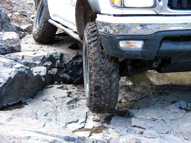
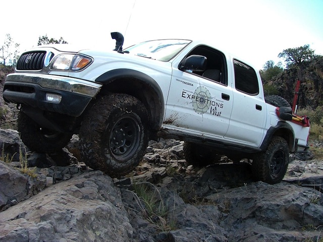
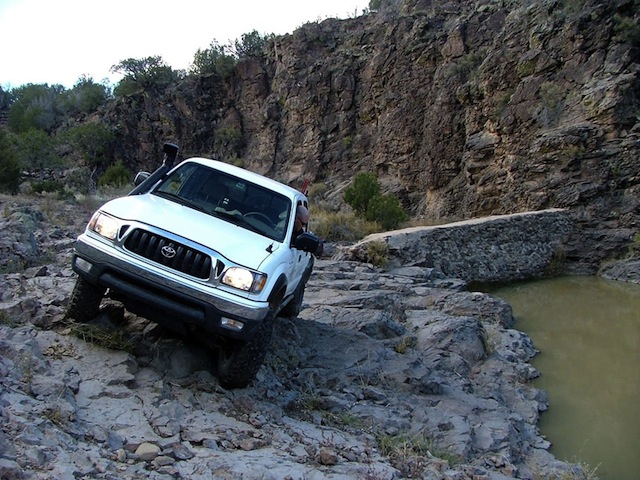
We had to go back across the shelf, but this time the front of the truck was pointing down hill. Everything went fine until the last section when a wet tire slid off of the ledge and unsettled the truck. I just let off of the brakes and allowed the truck to straighten out and turn towards the decline. If I had hit the brakes the truck might have rolled. I was prepared to even hit the gas to right the vehicle if it had started to go over. It was an unsettling, but brief moment, and the truck was at the bottom safe!
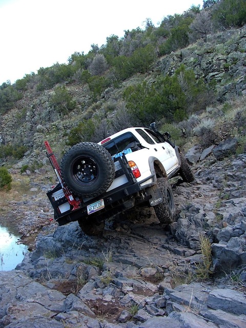
While I was in the area, I also took advantage of the fall colors, which were at their peak!
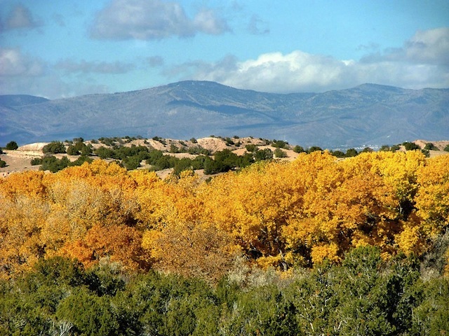
Santa Fe, NM looking towards Aspen Peak
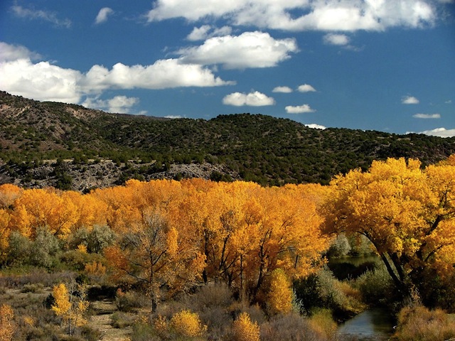
The Rio Grande towards Taos
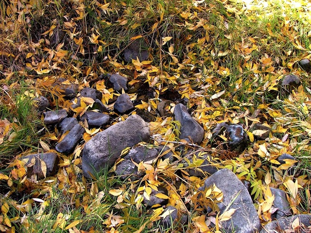
NE of Taos along the Rio Pueblos de Taos
Trip Details
- Date: 10/22/2004
- Trail Time: 2-3 hours
- Location: Just west of Santa Fe, New Mexico and Ortiz Mountain. The route to access the trail starts just NW of Hwy 22 and Agua Fria Park. Use gps coordinates and track as there are many side roads.
- Trail Rating (1-5 scale): 3- There are some good challenges on this trail, made even more difficult by the deep water and cambered approach. We did not complete the trail due to the deep, muddy water (which made spotting impossible) and having only one vehicle. However, it was still very fun.
- Under dry conditions this trail would likely be a 2.5, but would still require good clearance.
- Major Obstacle: The cambered start of the trail could be a problem with novice drivers due to the wet conditions (tire slip)
- Brush (minor, moderate, severe): Moderate
- Scenic Value (1-5 scale): 3- Nice canyon bottom
- Attendees:
- Scott Brady- 2004 Toyota Tacoma
- Chuck
Trip Planning
- Santa Fe Information:


