Back in the Saddle (continued from Part 1)
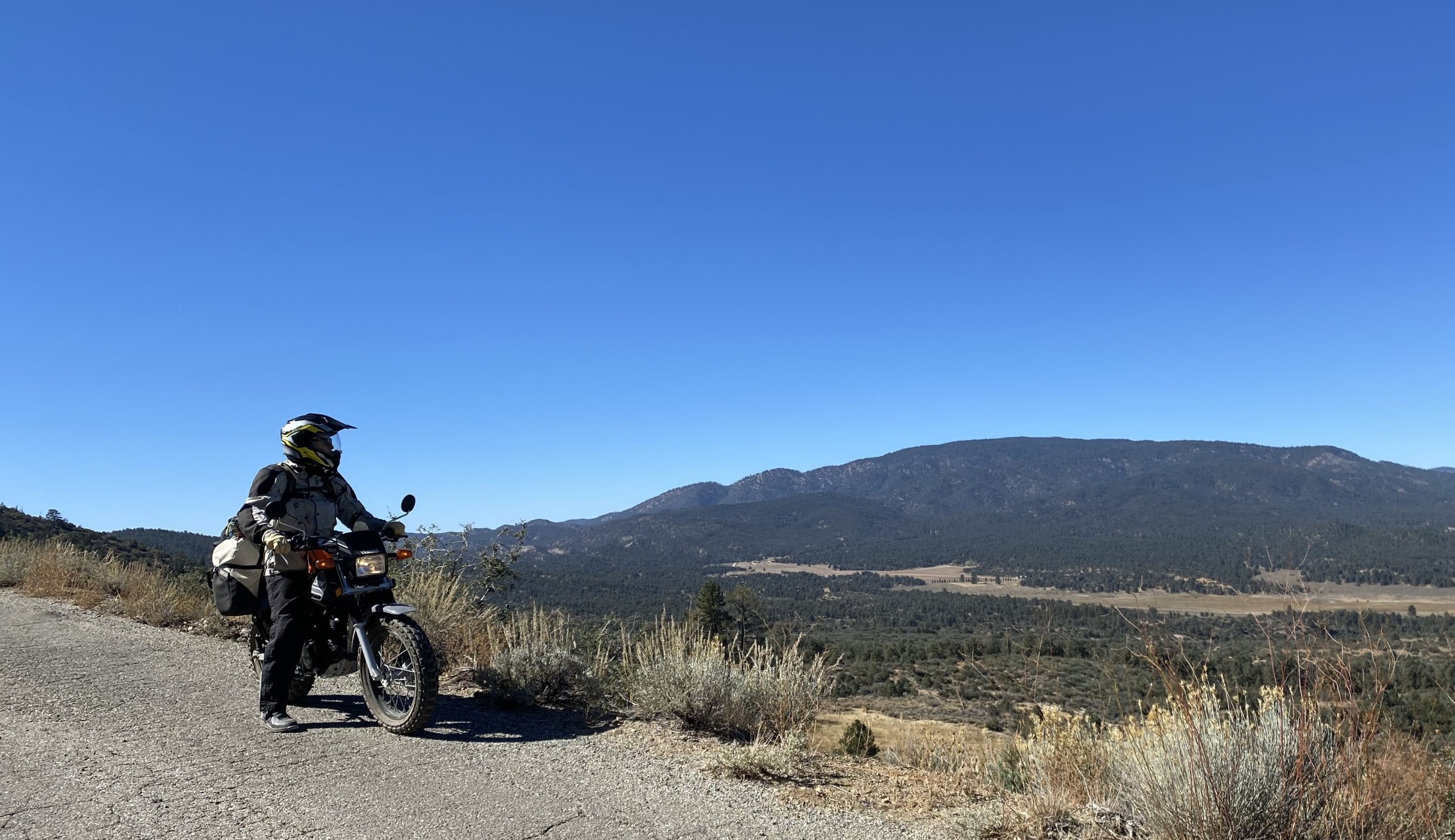
A locally sourced breakfast at the Cuyama Buckhorn prepped us for a long day in the saddle. Back on 166, we made tracks for Cerro Noroeste Road to start a 2,000-foot climb to the enclave of Pine Mountain Club. The small bikes were willing, but taxed. With throttles pegged, the TW’s extra horsepower and lower gearing gave Jim the lead while the XR’s tall final drive gearing allowed me to close the gap on the downhills. Still, neither bike could climb at more than 35-40 mph so we pulled over for traffic a few times. Just another opportunity to pause and enjoy our surroundings.
At Pine Mountain Club we marveled at the hundreds of cabins dotting the mountainside and lining the road, many of them available for rent. A few miles on, we picked up a Forest Service road for the climb up Frazier Mountain. The ride to Chuchupate Campground was smooth, but the camp was closed—to larger vehicles, that is. We squeezed through a small gap in the barricade and gave the area a look for future trips.
Going Up!
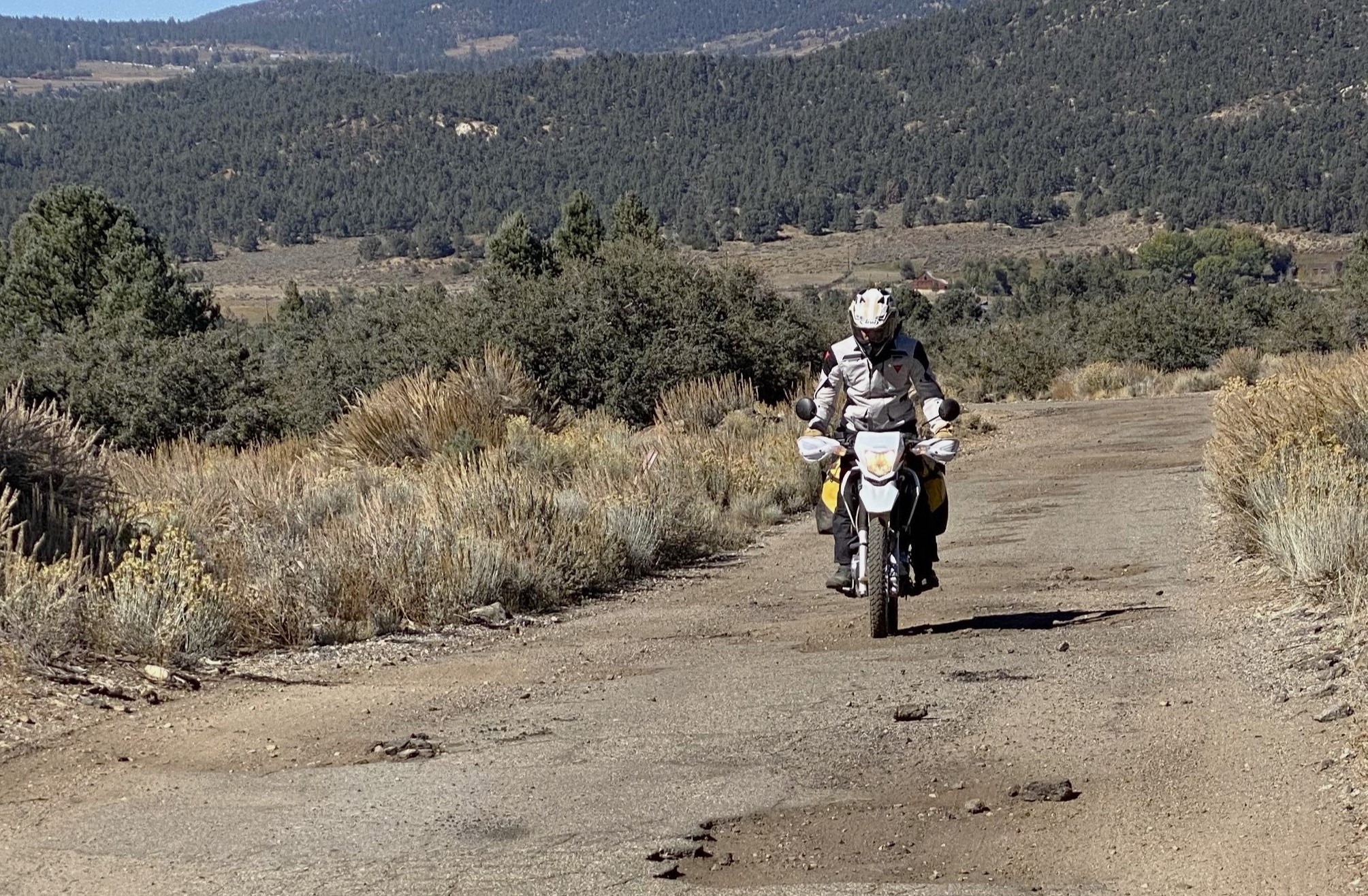
Just past Chuchupate the paved road deteriorated into large, gravelly depressions rimmed by disintegrating pavement. It got tighter, rougher, and narrower as we climbed, finally entering a pine forest as a 4WD route. The altitude sapped some of our power, but the little motos had plenty of torque for the slow ascent and were happy to putt up the two-track in second gear. We downshifted to first for the nastiest sections, and occasionally hit third for short, straight stretches. Near the top we broke into the sun, its warmth and light both welcome at over 8,000 feet.
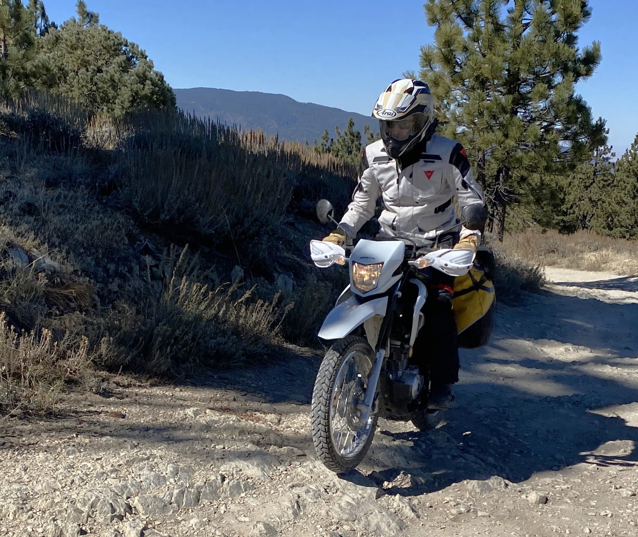
Descending the mountain was more exciting than coming up. Staying light on the brakes, I was often in first gear. At a photo stop we compared notes on tires—fat on the TW versus narrow on the XR. Neither of us had been fighting for control, but the TW seemed to have the edge in ruts—those fat tires crossed them much better at an angle than the XR.

Small Bikes Rock
Back on asphalt we stopped at Mountain View Mini Mart for coffee. From the deck above the parking lot we sipped our brew, watching cars come and go. Most people walked quietly into the store, but one was exuberant from the moment he parked. This guy popped out of his car raving about how cool it is that we’ve got luggage on small bikes and that we’re touring on them because he loves small bikes and has one and his wife has one and they go places, and it’s just the best way to travel, it’s cheaper and you see more and it’s loads of fun and you can take them anywhere and on, and on. We felt like celebrities when he was finished. Raising our paper coffee cups, we toasted to our membership in a clan we didn’t know existed.

Between us and our next goal lay eight lanes of Interstate 5. The giant, hilly slab from Los Angeles to California’s Central Valley and beyond is not recommended for small bikes. We ducked under it a few miles south, gassed up, and were on our way back in time. Before there was I-5 there was the Ridge Route. This serpentine dirt road opened to traffic in 1915, providing a conduit to Los Angeles for valley produce. Ensuing years brought a 20-foot swath of concrete and many repairs. Paralleling I-5, the route is carved into the ridges of the Sierra Pelona and often suffers damage from rain and snow. It is frequently closed to travel.
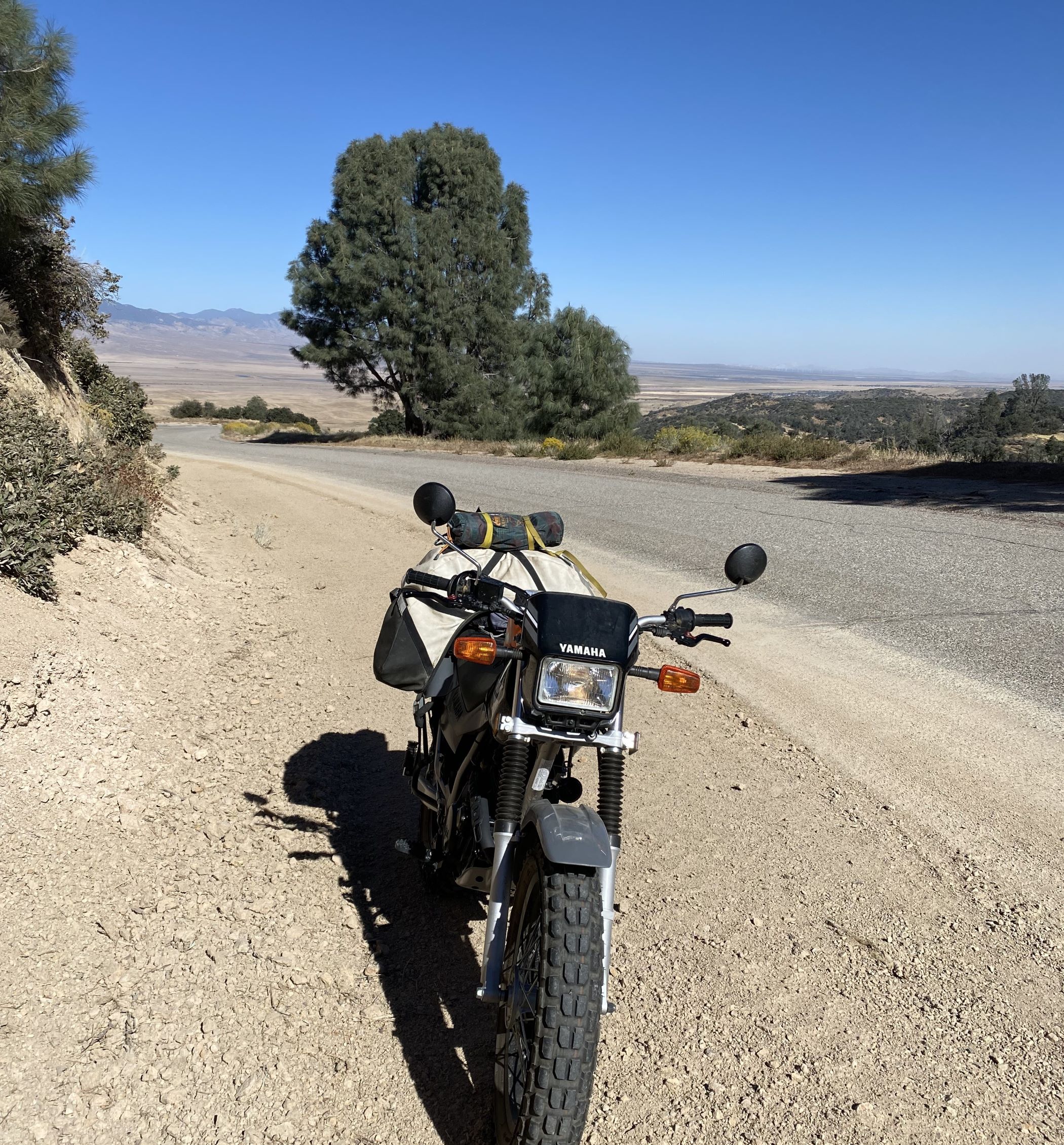
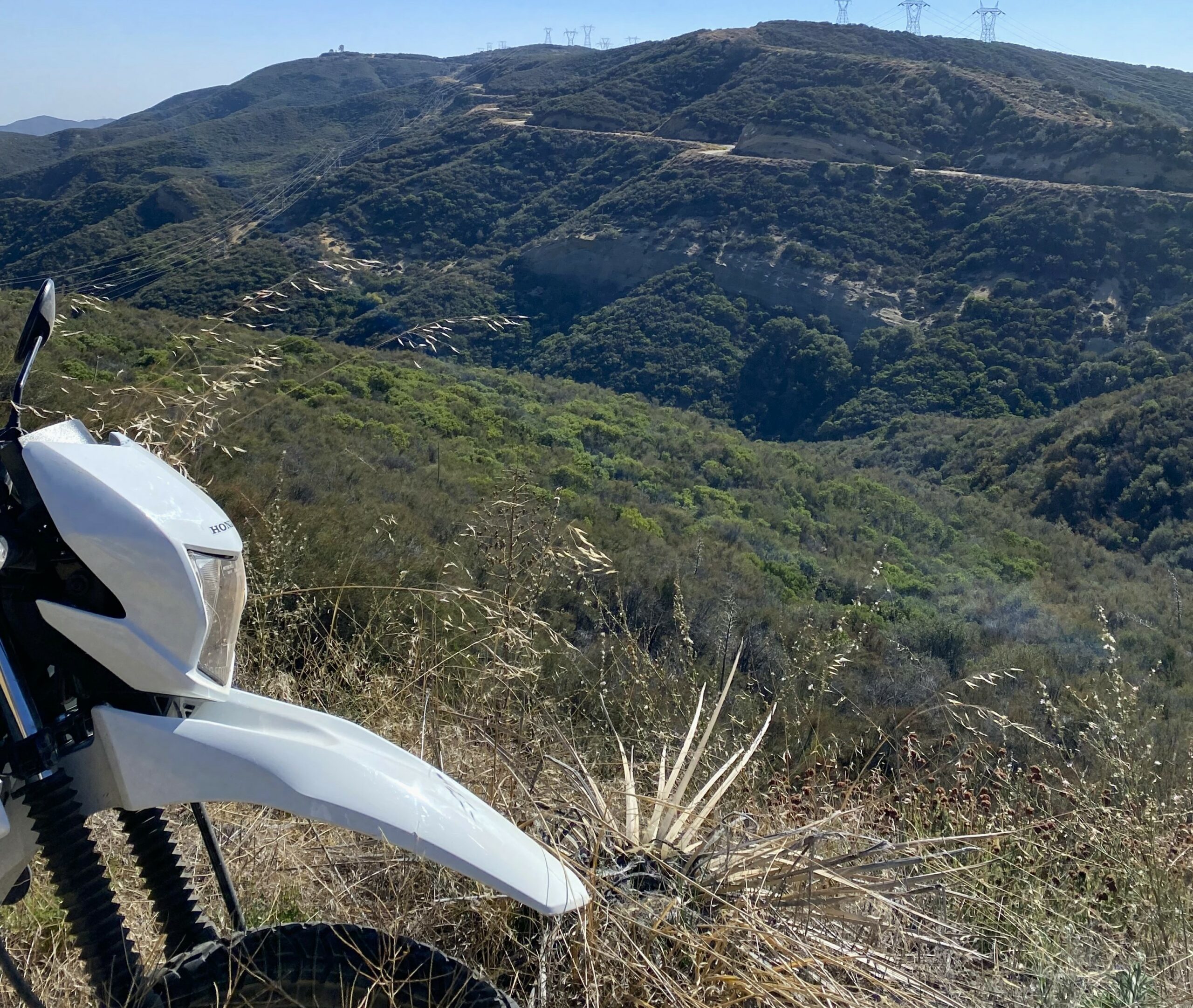
We were fortunate to find the gate near California 138 open. Smooth pavement soon devolved into a patchwork of surfaces. We could encounter dirt, gravel, ancient large-rock asphalt, newer asphalt, concrete, and the occasional sand dune awaiting around each bend. Our motorcycles were perfect for the 40-mile transit. The Old Ridge Route is a string of surprises, but the small bikes were more than capable of handling the changing conditions.
Flood Zone
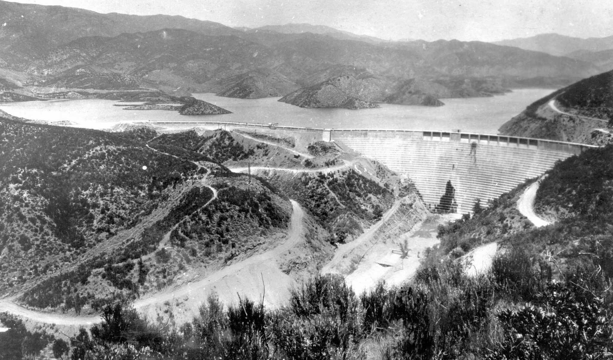
St. Francis Dam before the collapse…
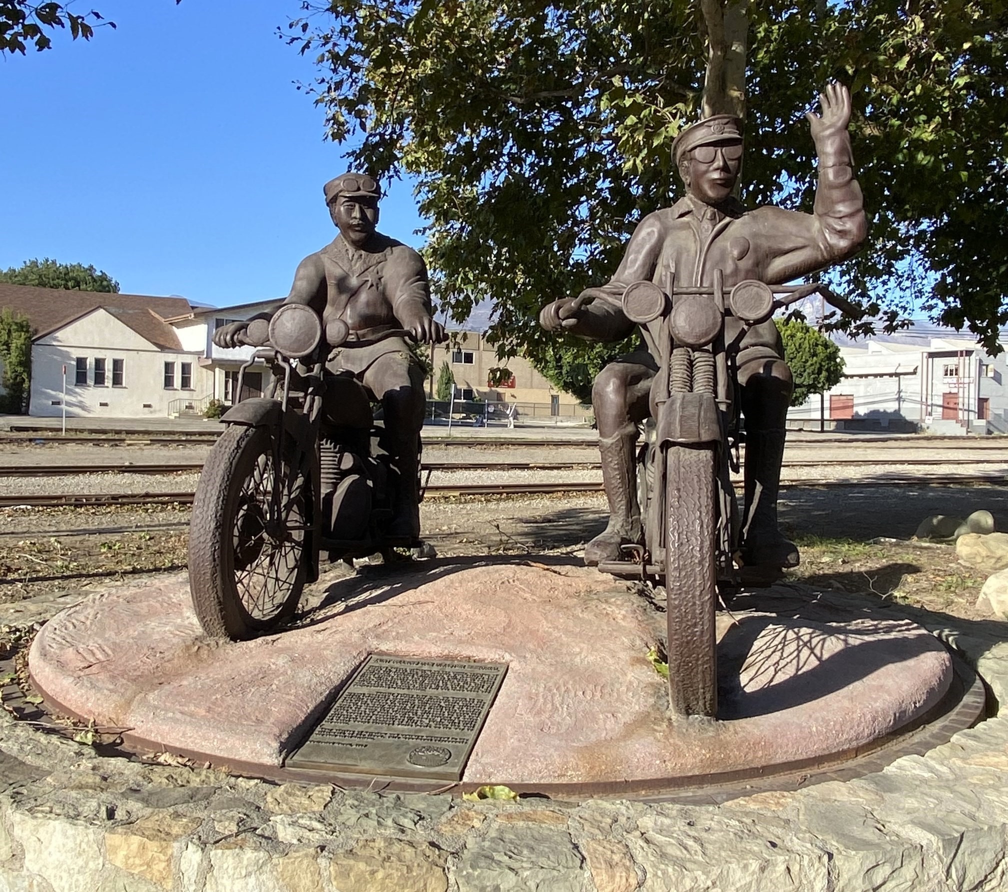
Returning to civilization, we again rode into history, passing the St. Francis Dam disaster site. Minutes before midnight on March 12, 1928, the dam collapsed after an inspection that day had deemed it safe. Hundreds of people died as 12 billion gallons of water rushed 54 miles to the Pacific Ocean. Our route home followed the flood through the Santa Clara River Valley. Passing through Santa Paula we noticed a statue of two motorcyclists at small park and had to stop. Named “The Warning,” it memorializes two motorcycle officers who sounded the alarm ahead of the flood, saving countless lives.
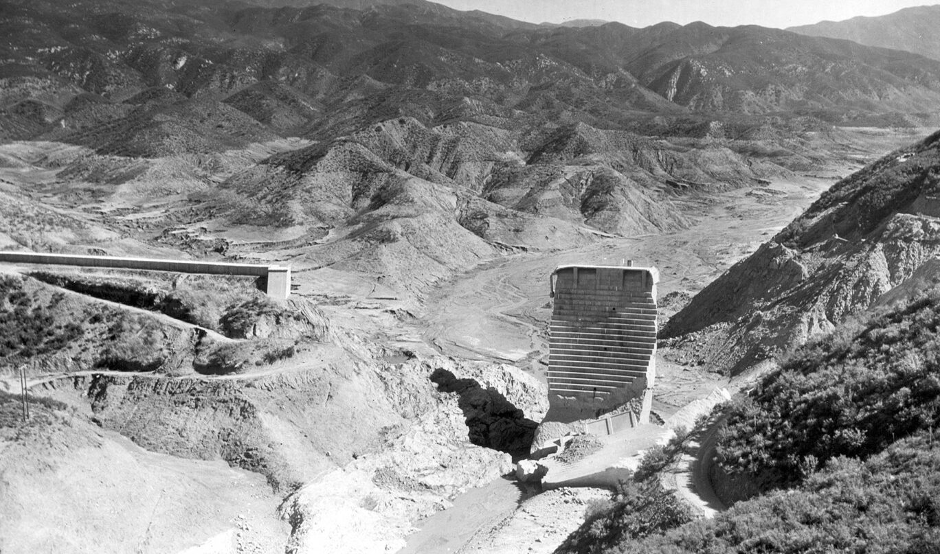
and after
We traveled the final miles home to Santa Barbara on a string of backroads, finishing half of our 400-mile journey in one day. The trip was a success, showing the capabilities of small bikes for long rides, as well as how inexpensive they are to operate. Honda’s XR150L averaged 80 mpg and cost me $29.00 in fuel (at over $5.00/gallon). Jim and l will certainly be doing this more often. After all, as newly minted celebrities we need to be seen enjoying our small bikes.
Read More: Honda XR150L Road Test, CRF300LS Road Test
Photos by author and James Norris. St Francis Dam Photos from U.S.G.S, public domain
Our No Compromise Clause: We do not accept advertorial content or allow advertising to influence our coverage, and our contributors are guaranteed editorial independence. Overland International may earn a small commission from affiliate links included in this article. We appreciate your support.


