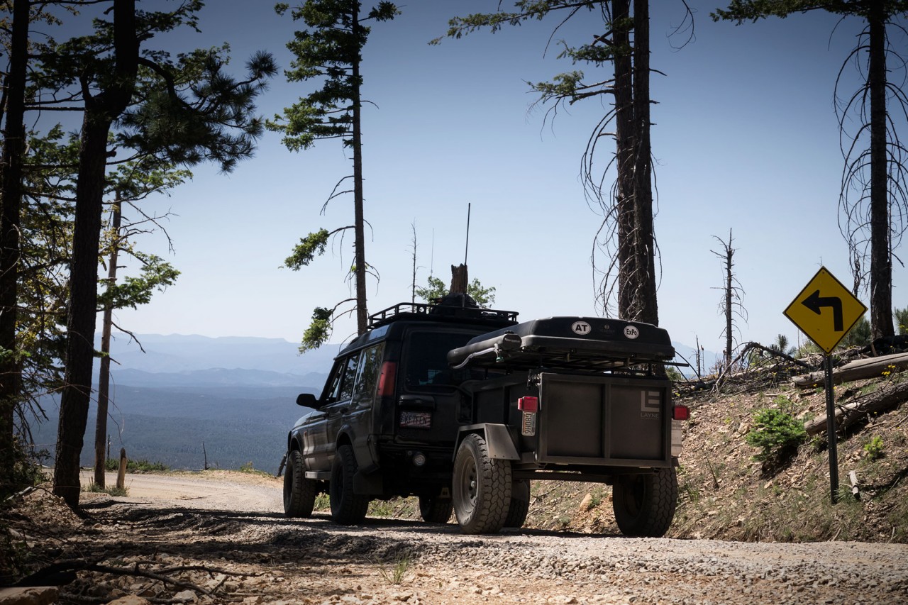
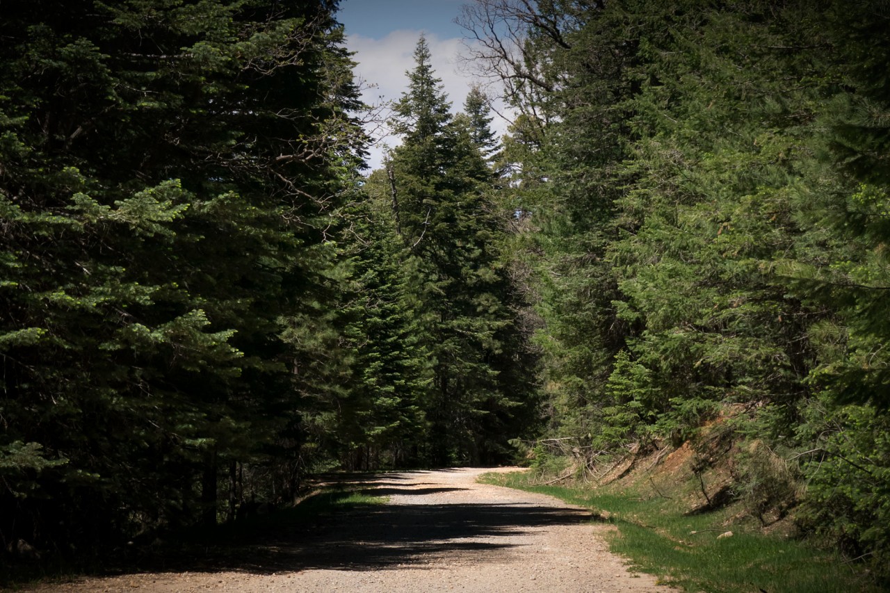
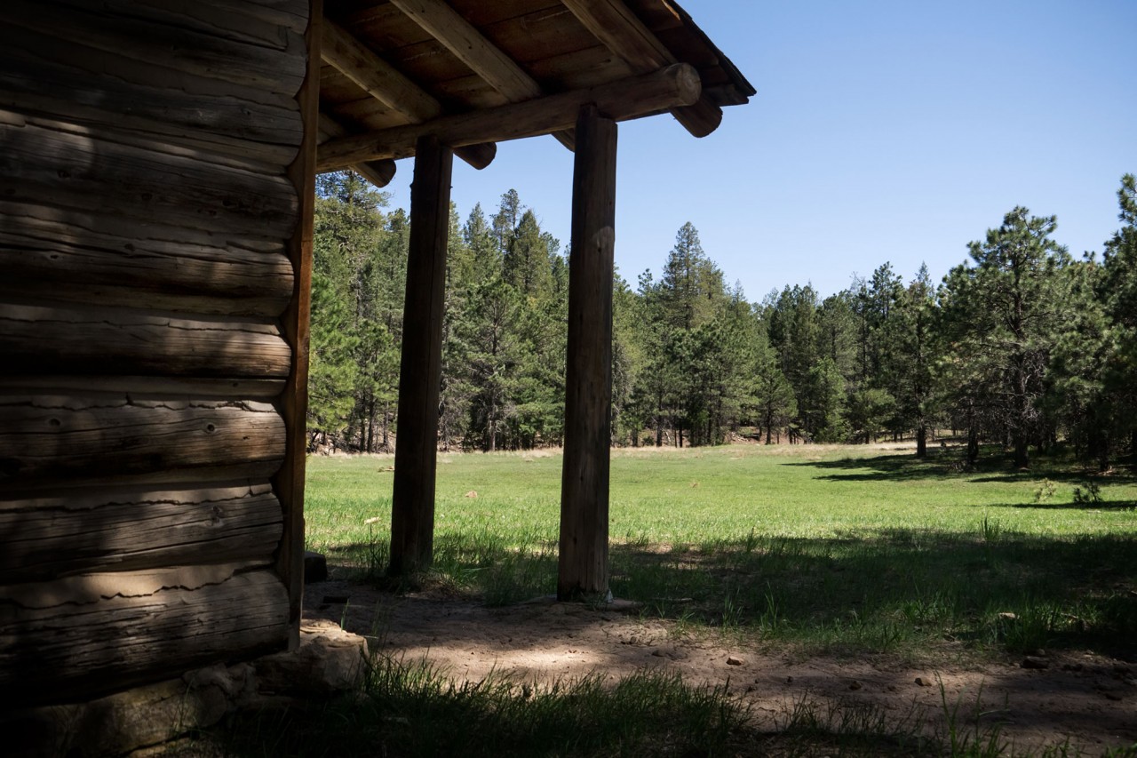
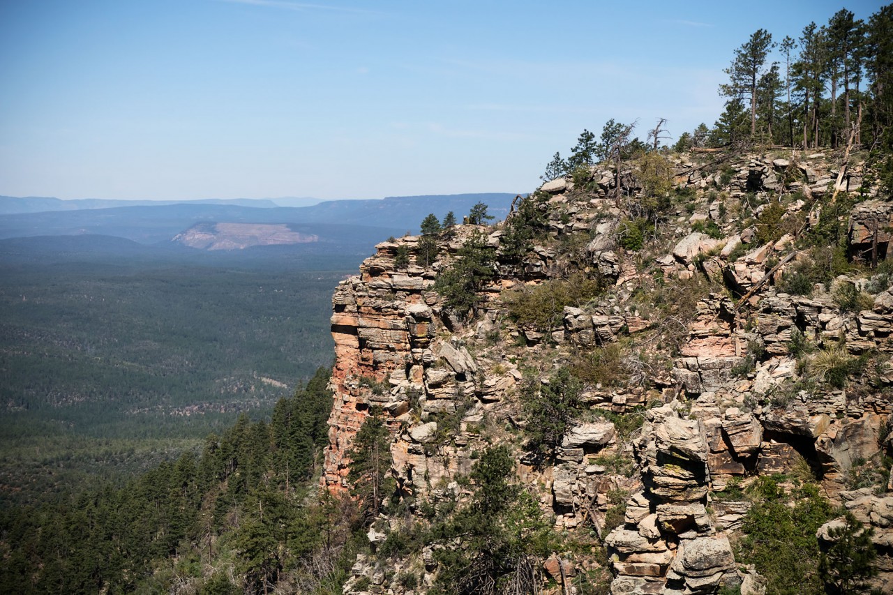
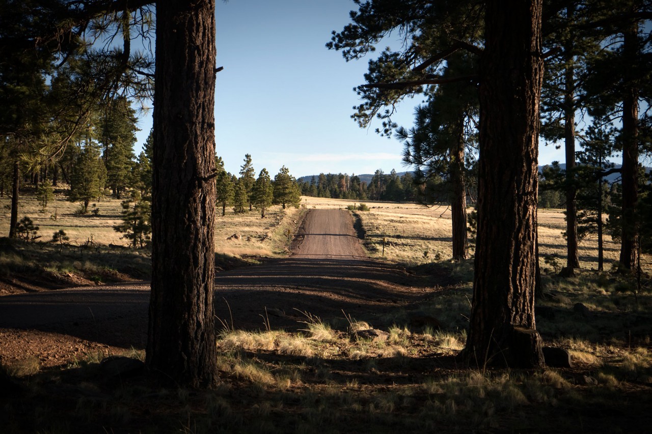
Winding through dense forest for 120 miles atop the most prominent section of the Mogollon Rim, the Rim Road (FR300) crosses the eastern half of Arizona from north of Payson to Apache country at the White Mountains. With a maze of roads twisting through the pines on top of the rim FR300 is a little tricky to follow on a map, but it’s fairly easy to stay with it on the ground. A few miles of pleasant driving through the trees reveal little, until the road reaches the edge of a 2,000-foot cliff as it turns sharply east.
Starting out on a Tuesday, we’re able to explore in solitude and our focus stays with the scenery for much of the drive along the smooth surface of the Rim Road. In the entire length of FR300 between Highway 87 and 260 the face of the Rim is breached only once, where the Arizona Trail climbs to the top of the rim at Big Dry Wash.
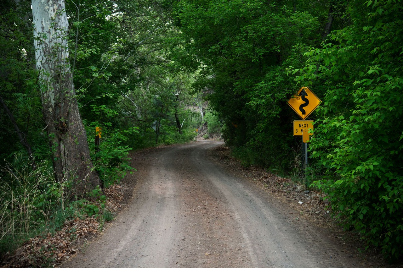
Good camping and lunch spots dot the sides of the road, some in the cool shade of dense pines, others with wide-open panoramic views of the lowlands to the south. In dry weather most of the Rim Road and historic locales are accessible by a 2WD vehicle with good ground clearance. The most scenic and secluded of the campsites on the Rim are hidden down the many side roads, but be warned: most degrade to rutted, rock-strewn trails shortly after leaving the main road.
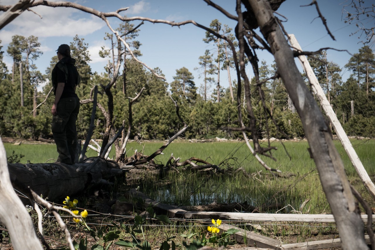
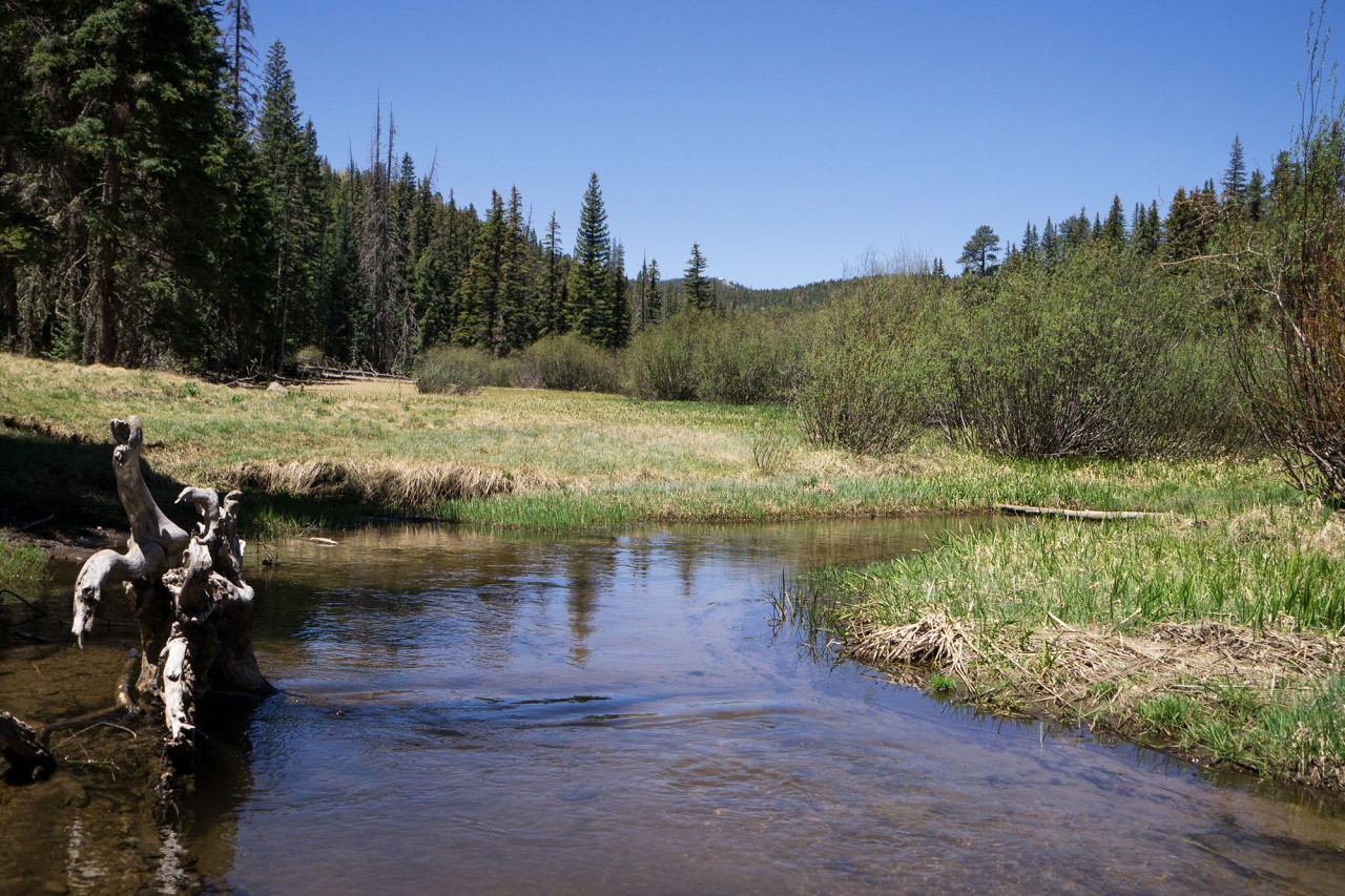
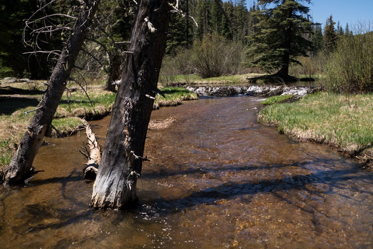
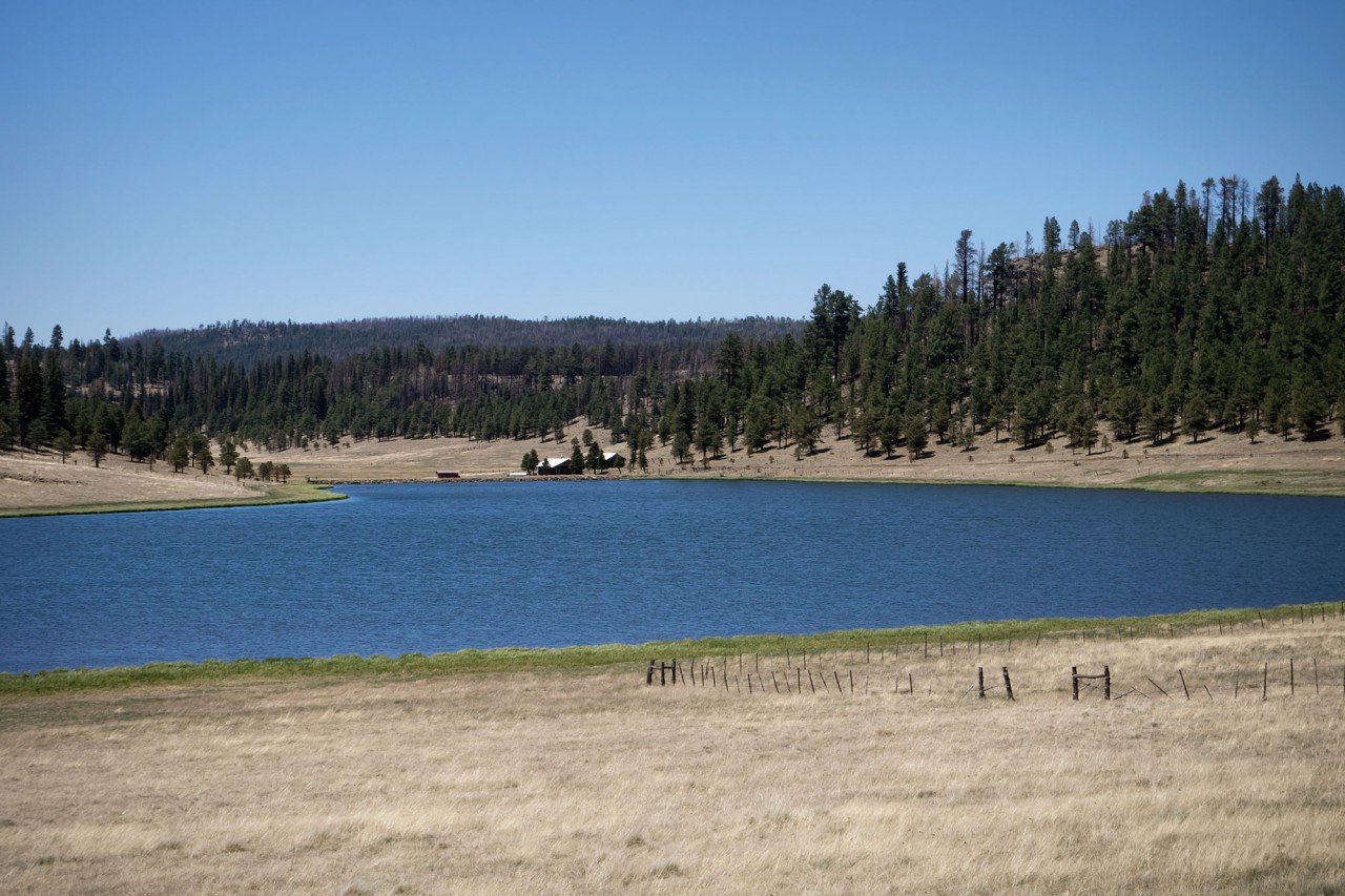
Lakes, ponds, and streams litter the countryside and support a variety of wildlife including deer, elk, mountain lion, and black bear. Camping is not allowed on the shorelines of most vehicle-accessible lakes in the area, but we had other plans…
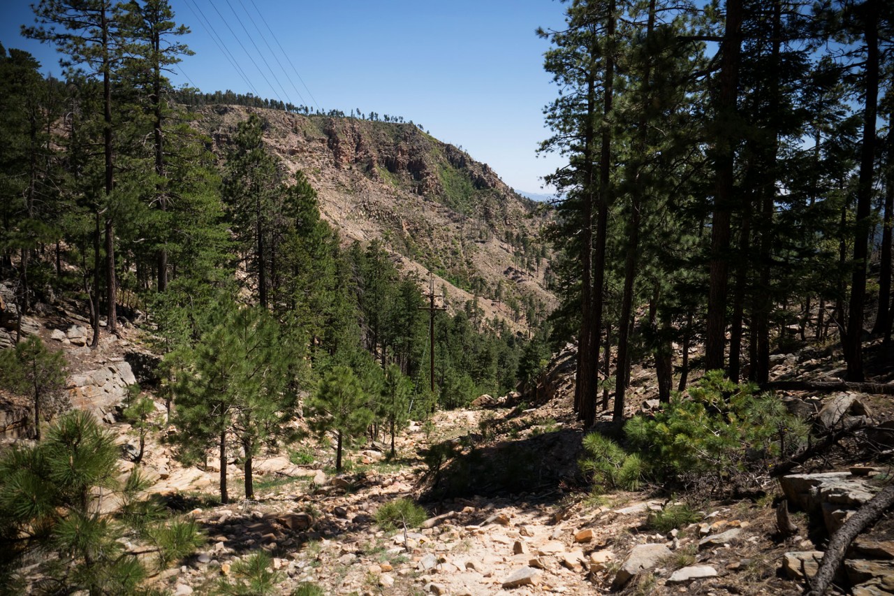
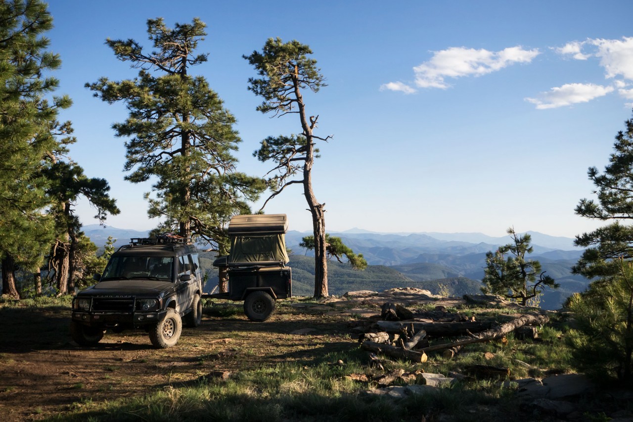
One of the many rutted, rocky and overgrown side roads designated FR764 leads south not far from Bear Canyon Lake. With a little patience and perseverance, the trail leads out from the Mogollon Rim to the edge of a 7,800-foot high mesa known as Promontory Butte. There, a small fire ring overlooks Christopher Creek and Highway 260 some 2,000 feet below.
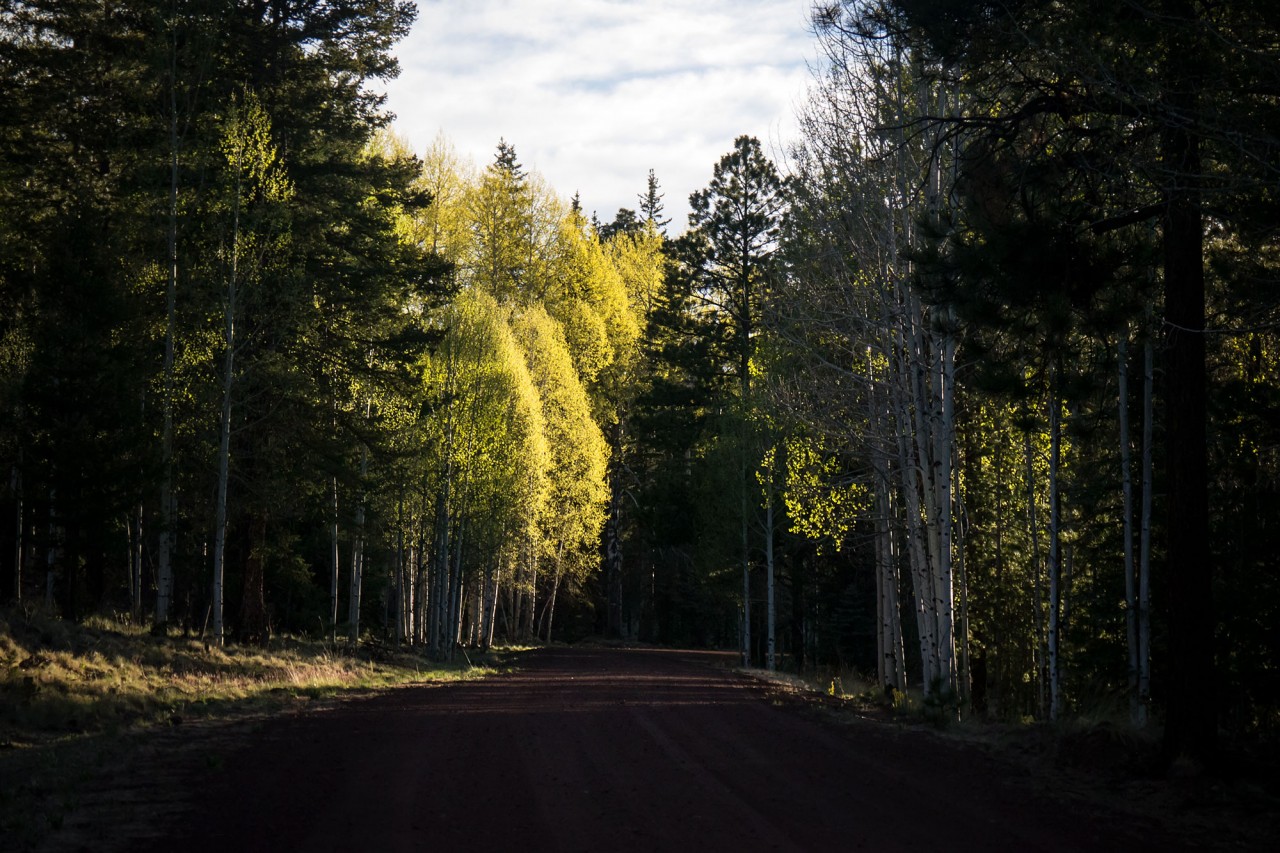
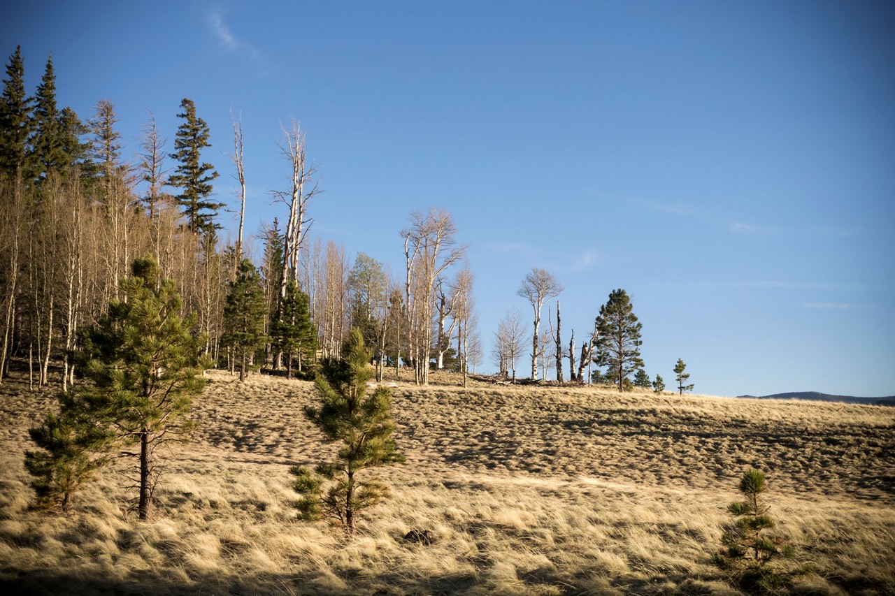
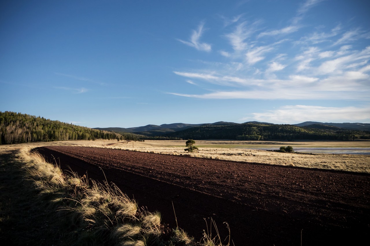
The road continues on for another 60-65 miles as the valley below gains elevation and the Mogollon Rim slowly disappears from sight outside the town of Pinetop, where the Rim Road rejoins Highway 260. Our route continues east, the pines giving way to groves of aspen, high plains, and blue lakes below the 11,421-foot peak of Dził Łigai (Mt. Baldy).
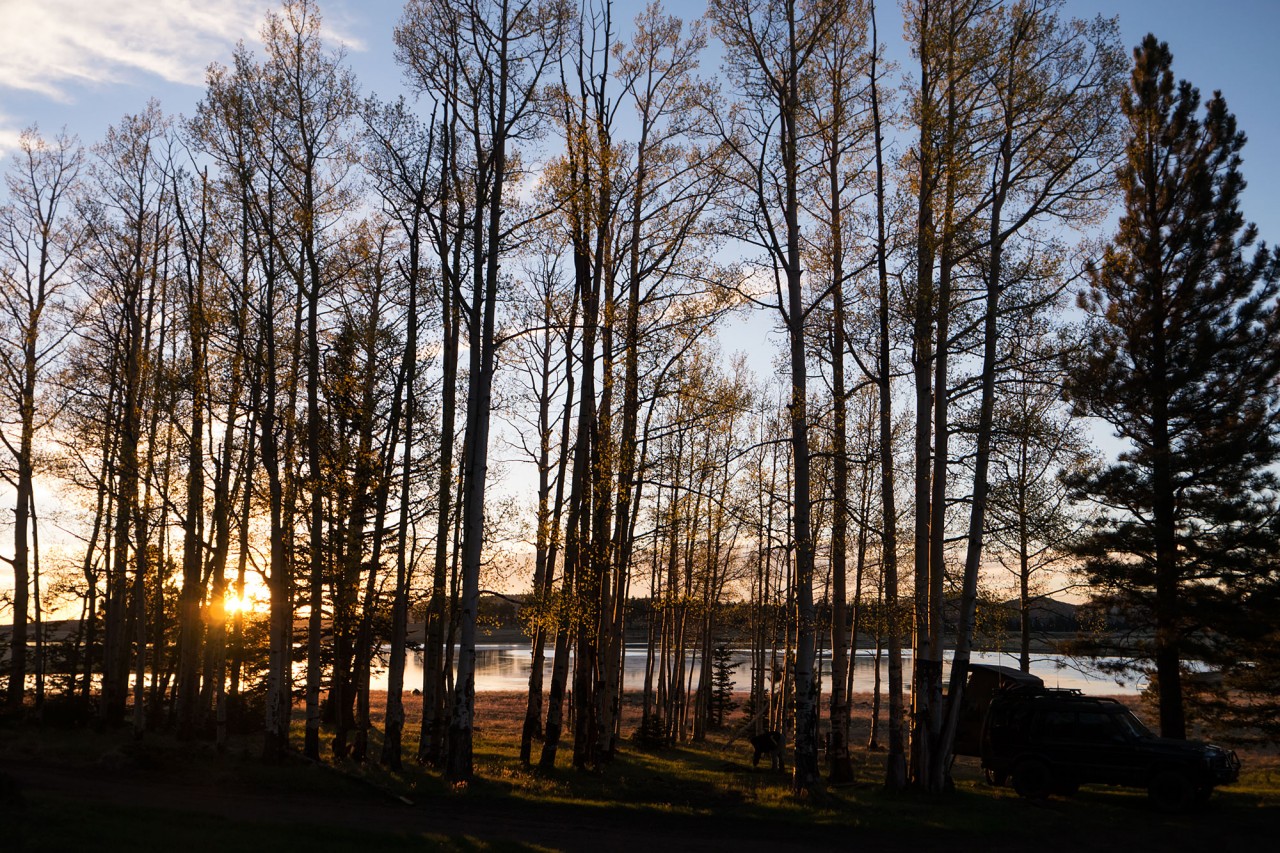
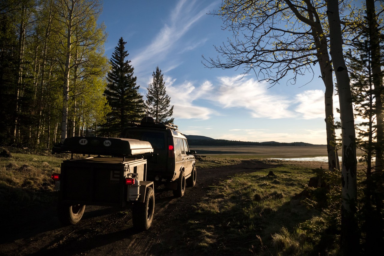
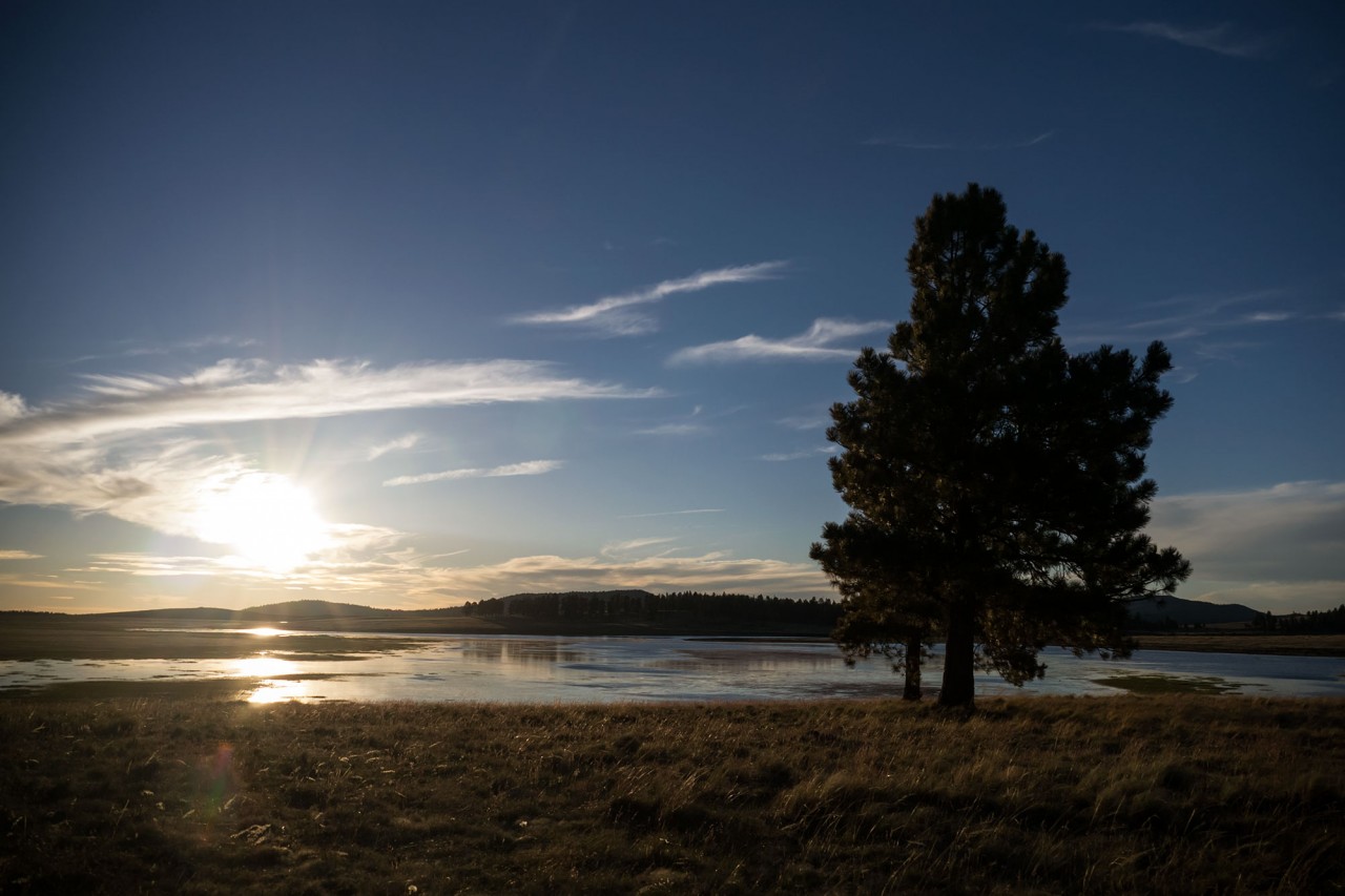
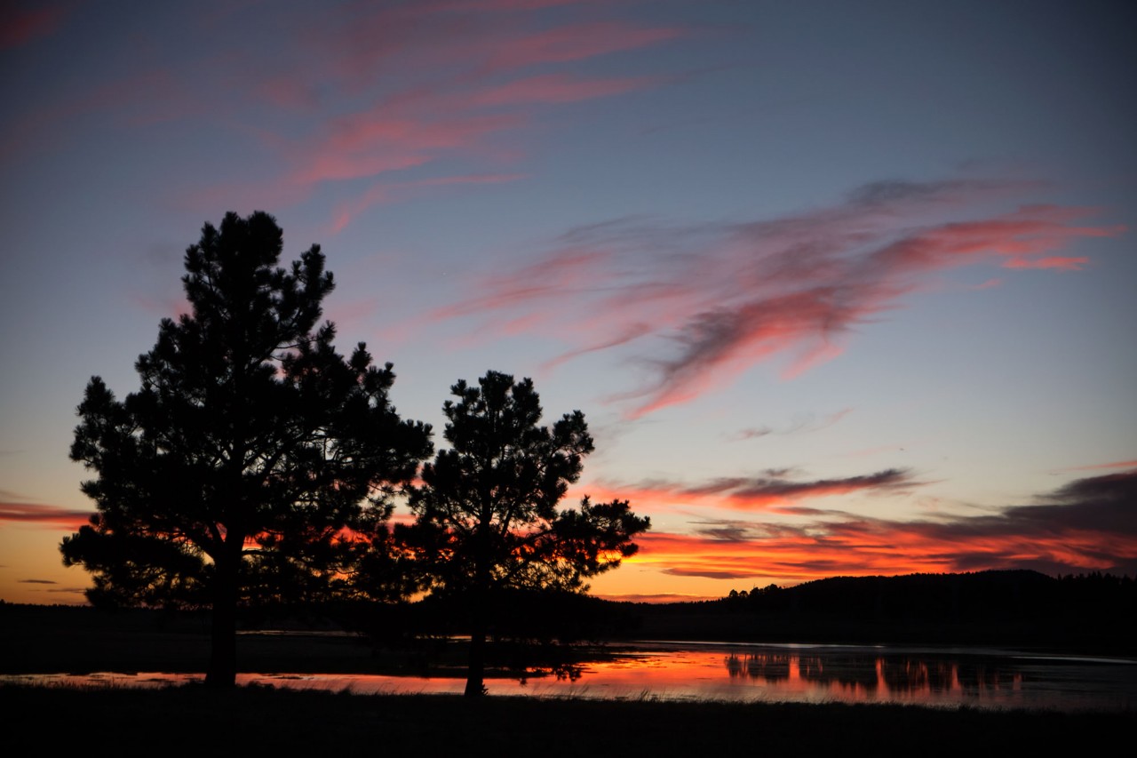
Knowing sunset was just minutes away, we scrambled up the mountain from Greer in desperate search of a campsite with the perfect sunset view. Luckily, a lone fire ring in a grove of aspen overlooking the White Mountain Reservoir appeared at just the right moment.
The light of morning reveals what was hidden the night before, and we set out on foot to explore the headwaters of the Little Colorado River.
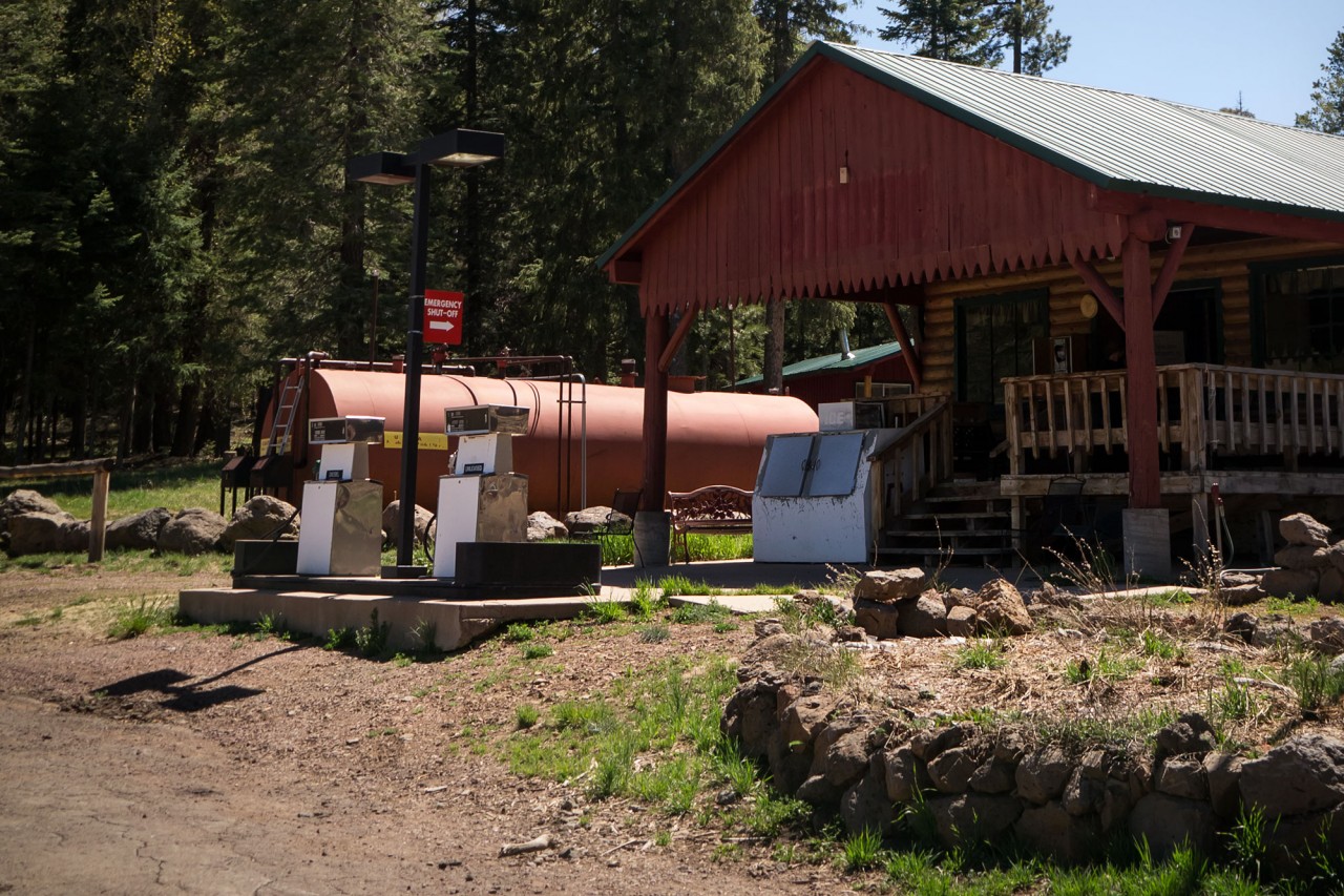
The occasional lakeside ranch and alpine lodge rest beside secluded meadows along the Coronado Trail (Highway 191), sometimes referred to as The Devil’s Highway because of it’s former designation: U.S. 666.
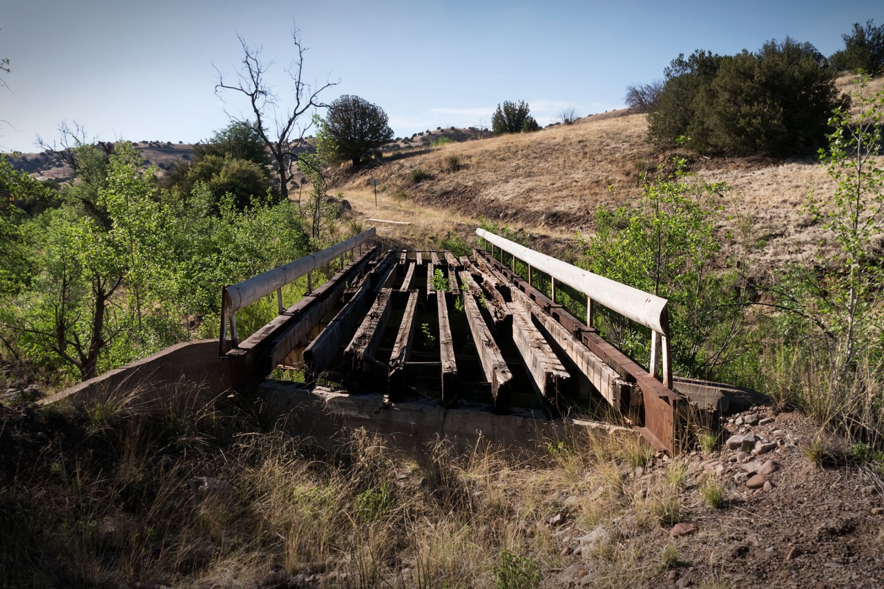
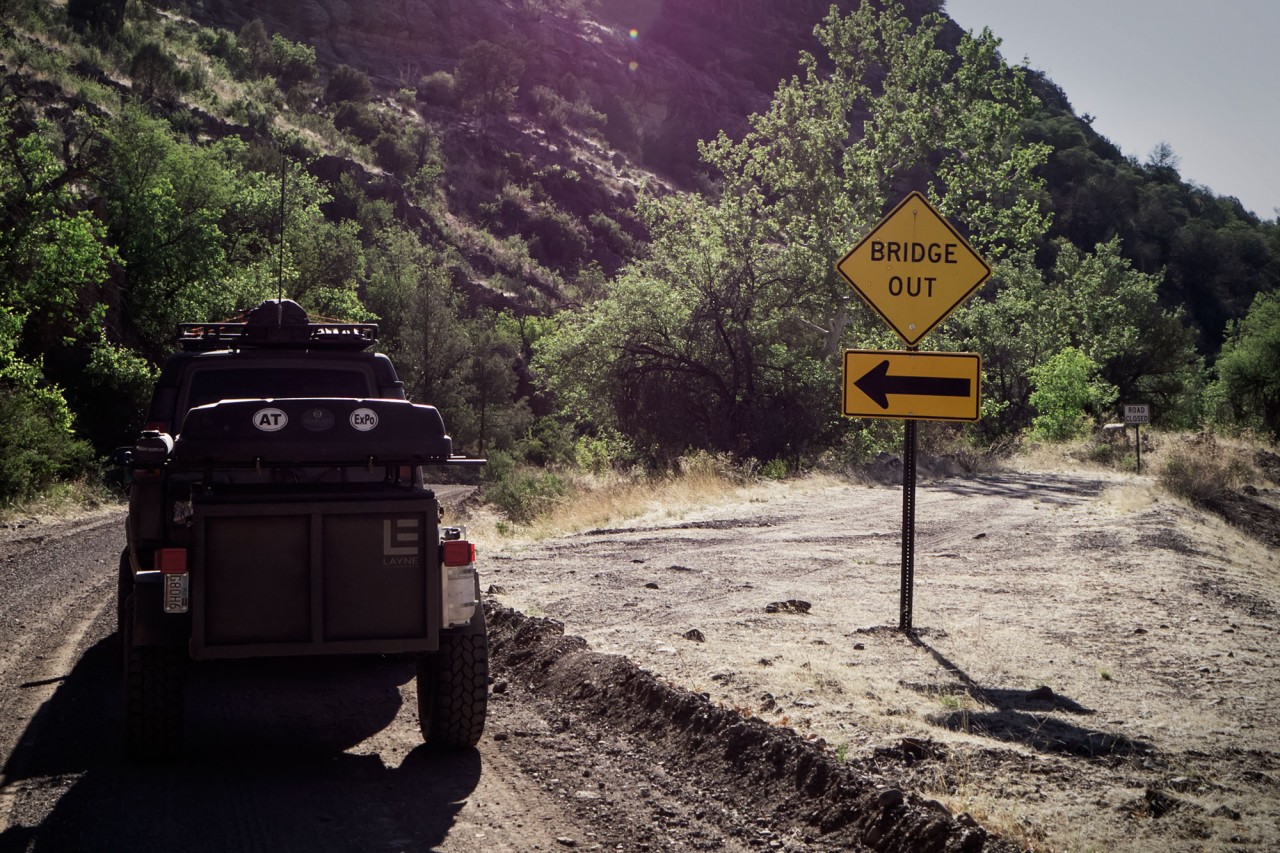
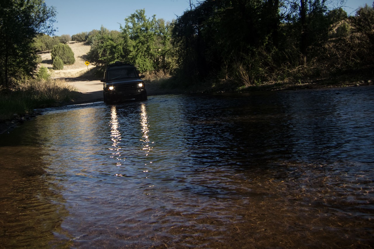
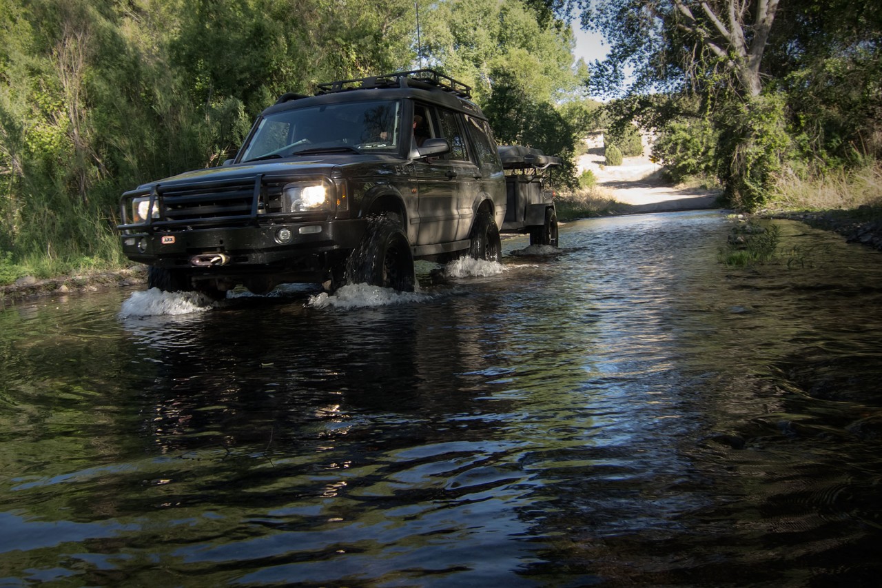
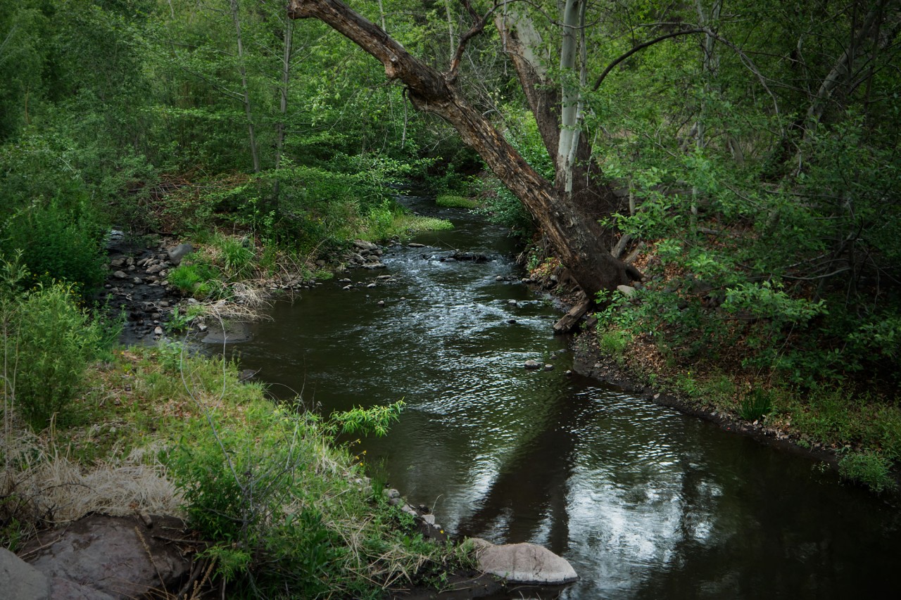
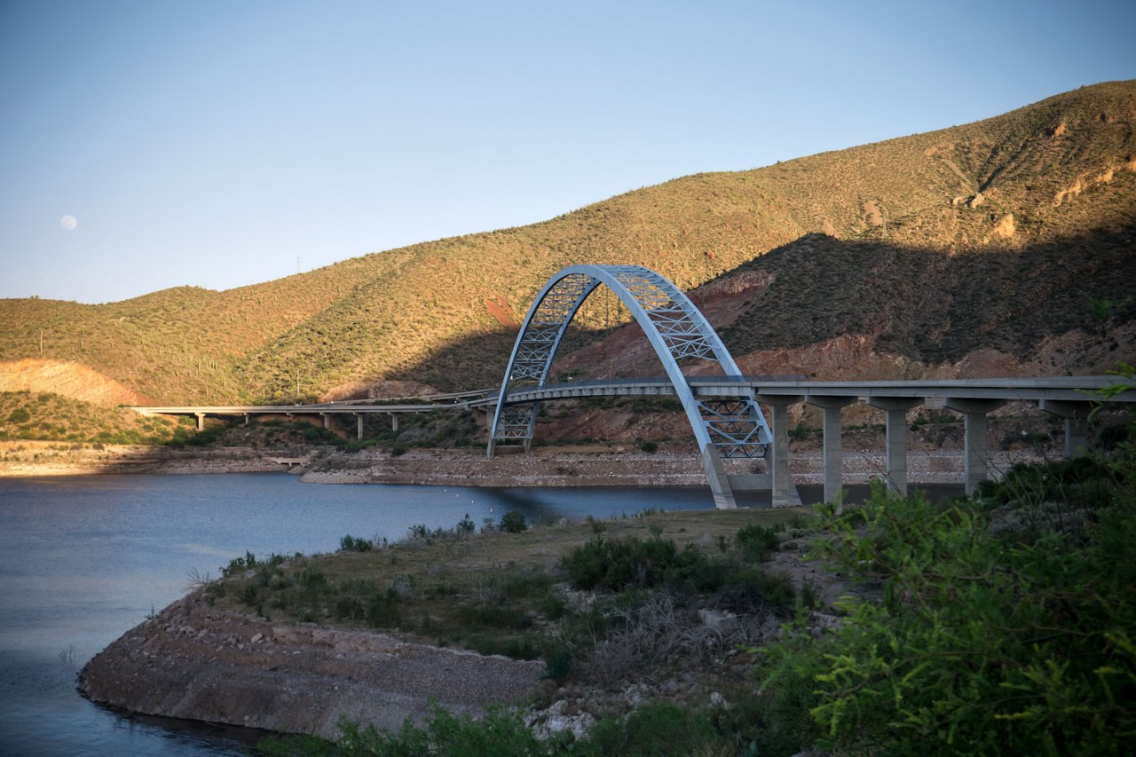
On a tip, we turned west on Eagle Creek Road (FR217) in search of a creekside campsite surrounded by sycamore trees. Fortunately, the road was in better shape than the bridges.
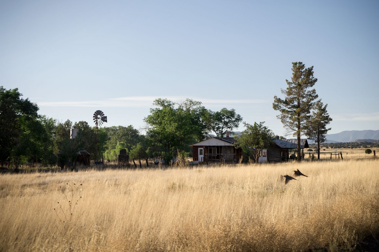
Eagle Creek Road follows Eagle Creek, naturally, up the eastern edge of the Fort Apache reservation. Beautiful ranchland, quail, and other wildlife abound.
As promised, we found the campsite at the end of the road. Honeymoon Campground gets it’s name from a ranger who thought this the perfect place to bring his new bride on their honeymoon.
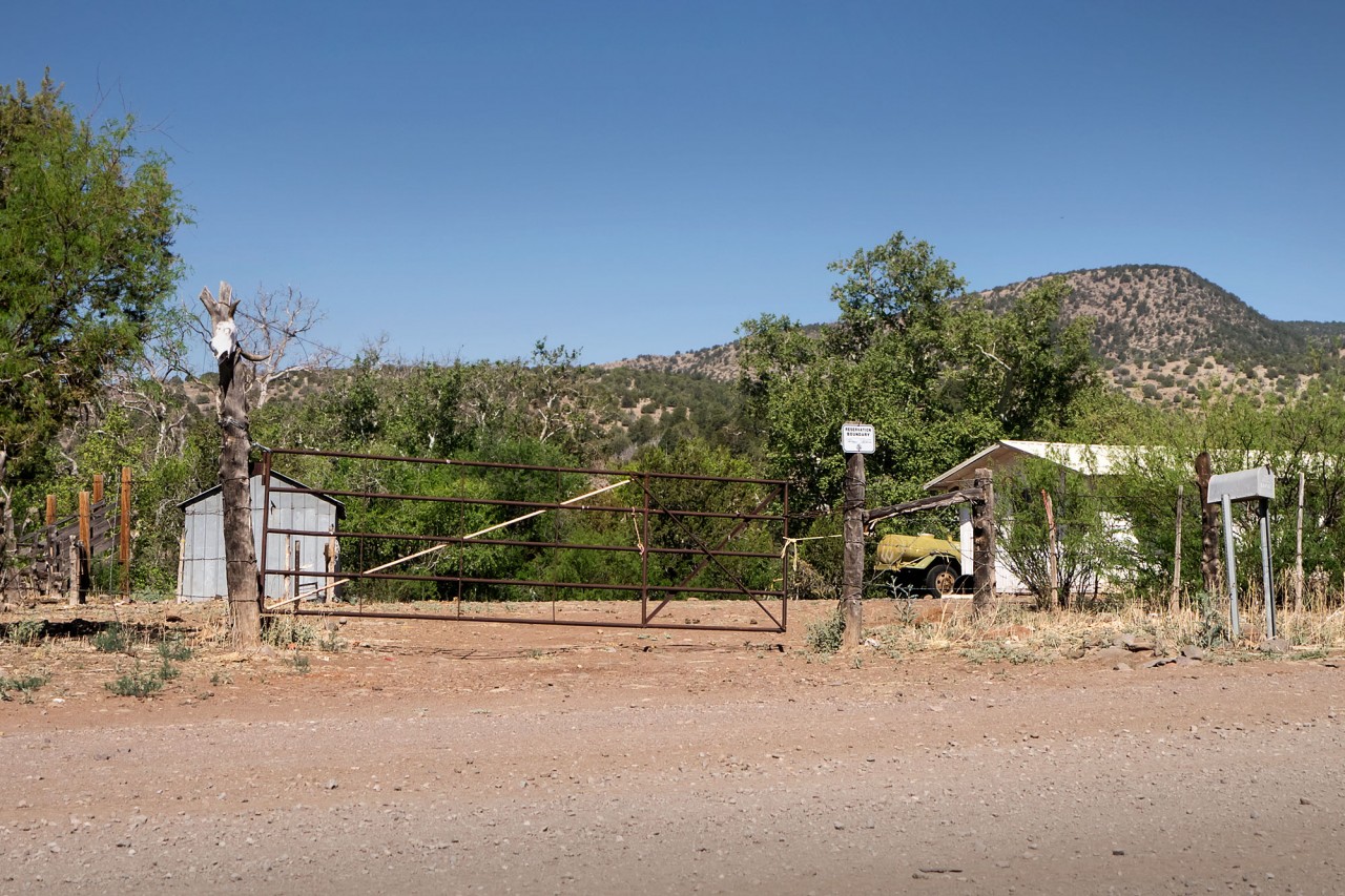
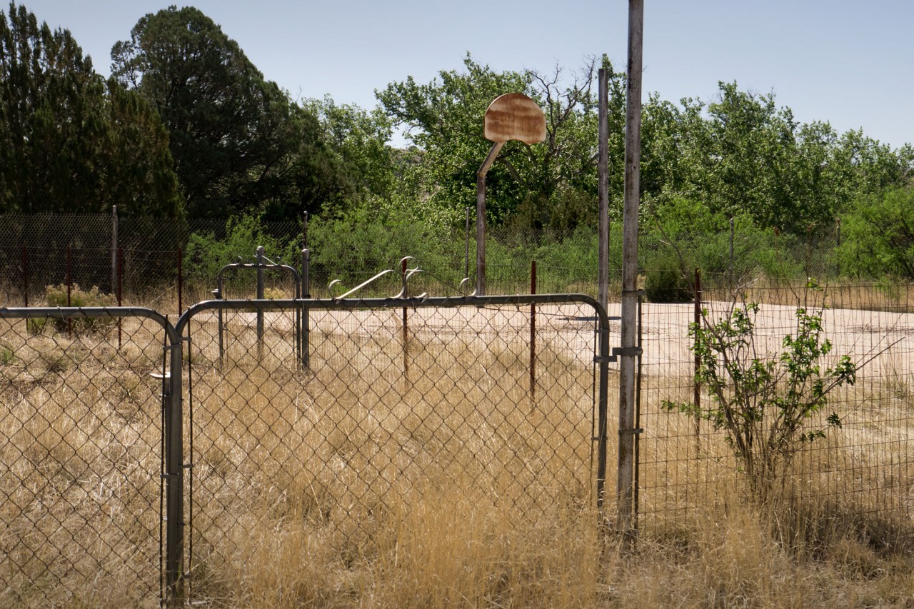
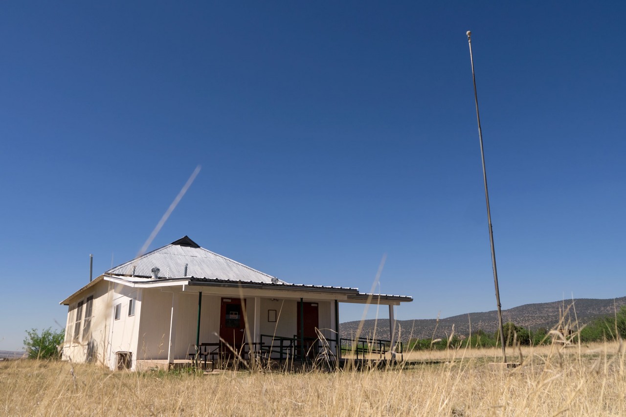
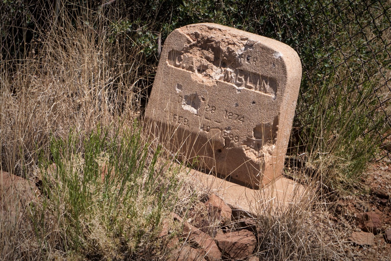
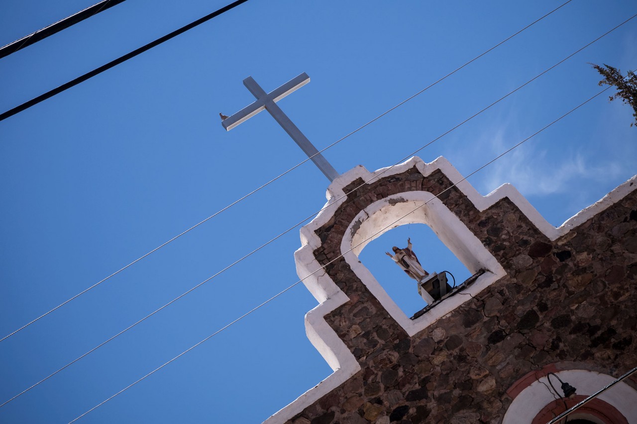
In some areas, little more than a ranch gate separates the Apache Nation from the National Forest. A one-room schoolhouse, only recently abandoned, sits above Eagle Creek. “Here Lies C. A???mblin,” a barely-legible tombstone overlooks the Devil’s Highway.
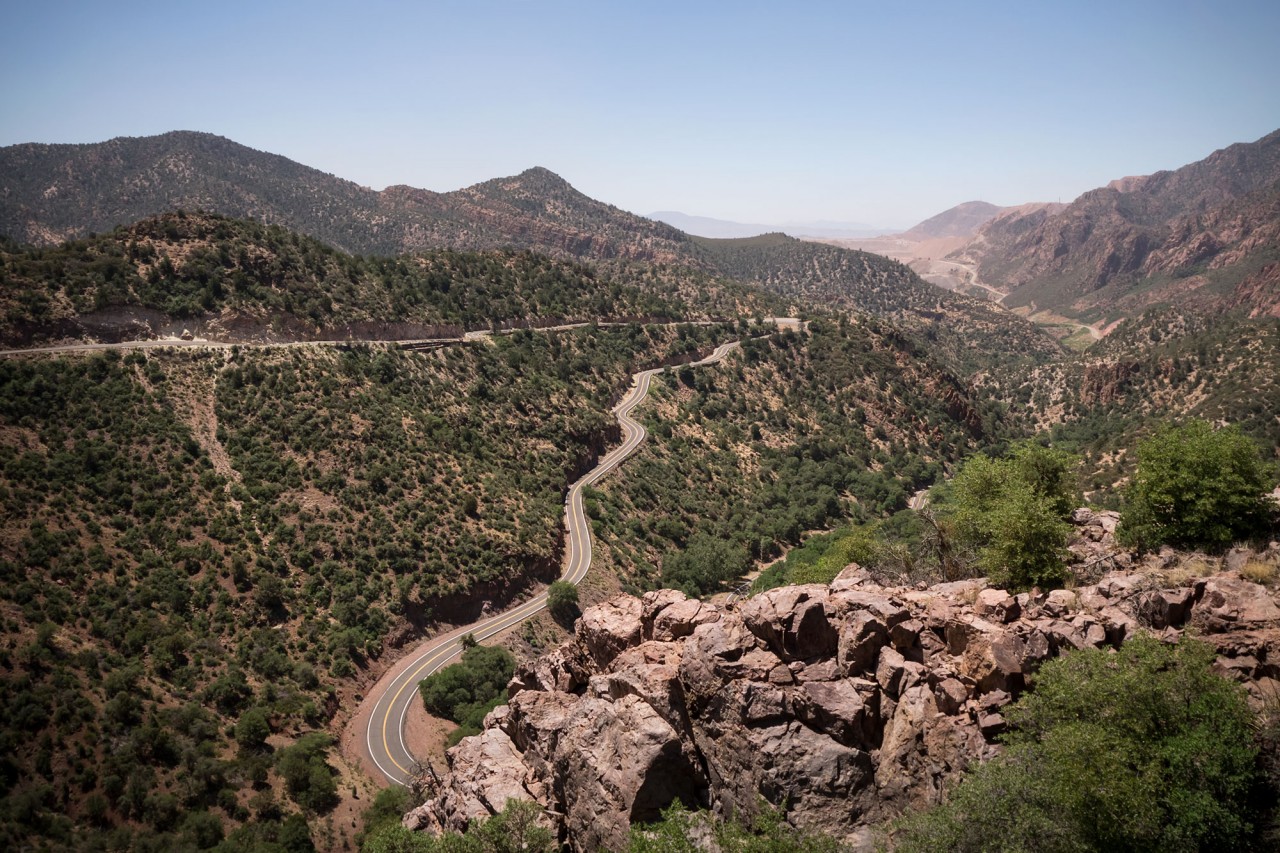
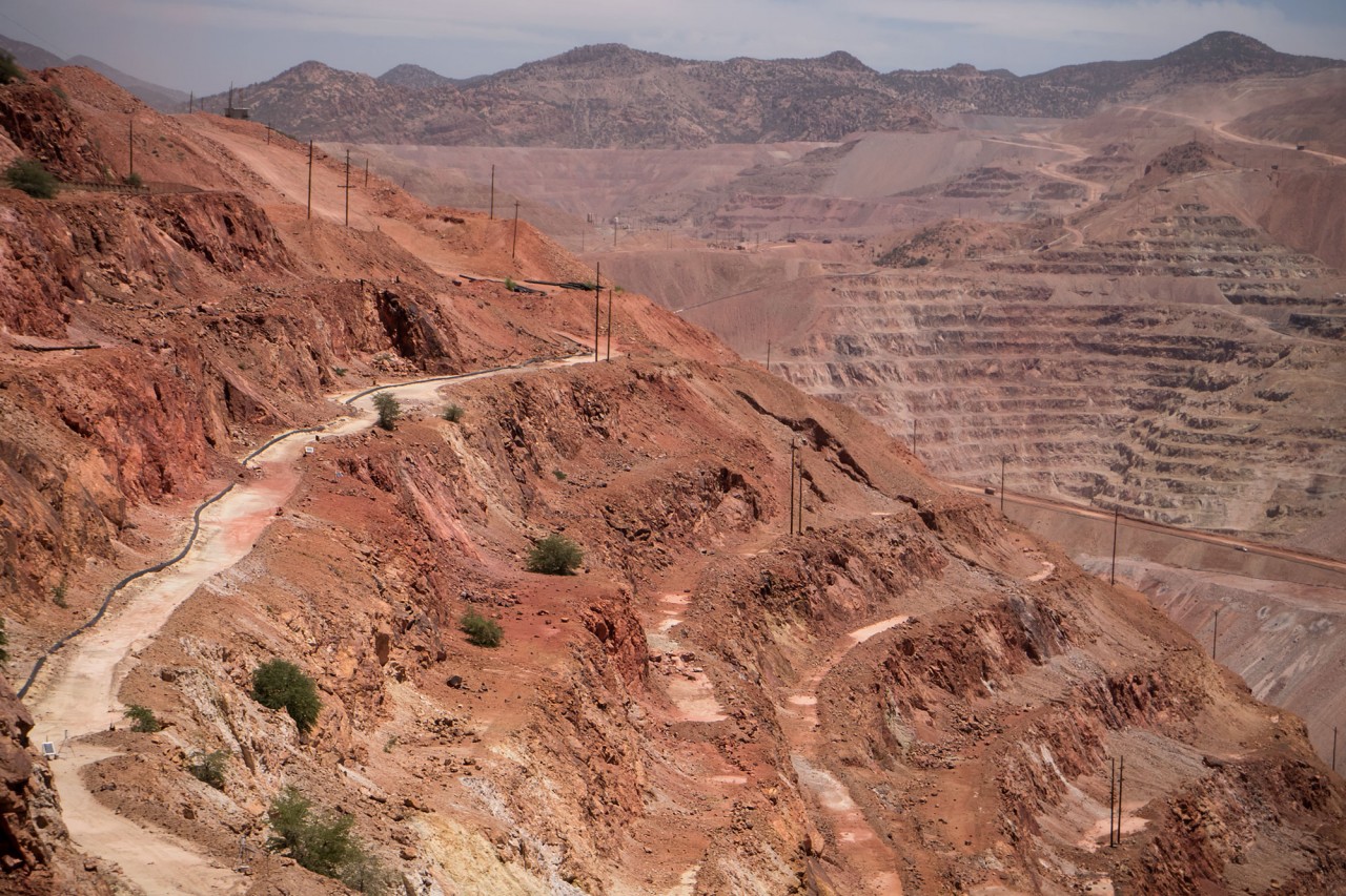
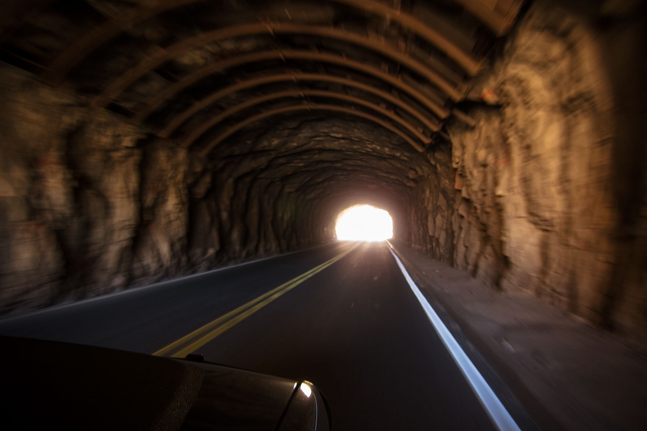
The Coronado Trail (US 191) winds down from the mountains to Morenci, once a small mining town, now a vast open pit copper mine.
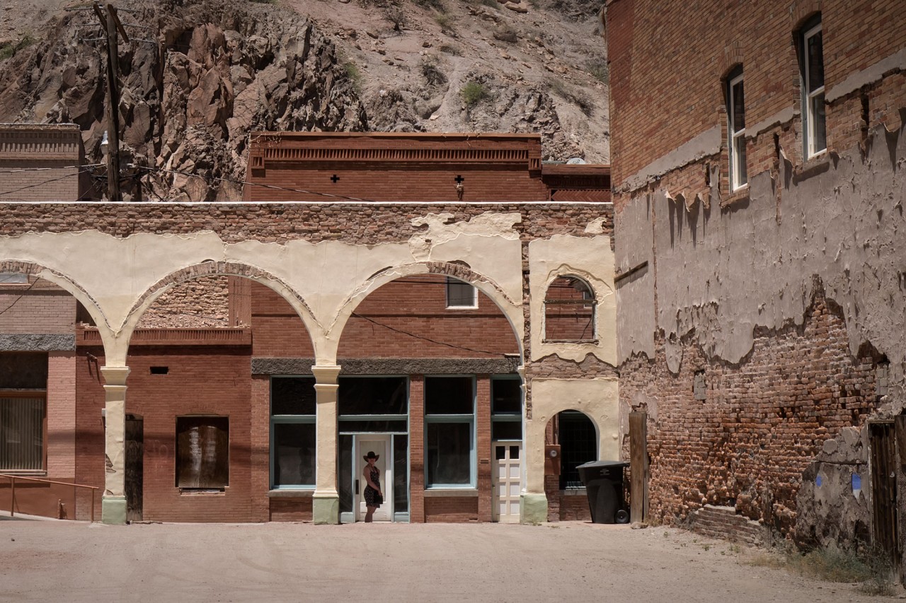
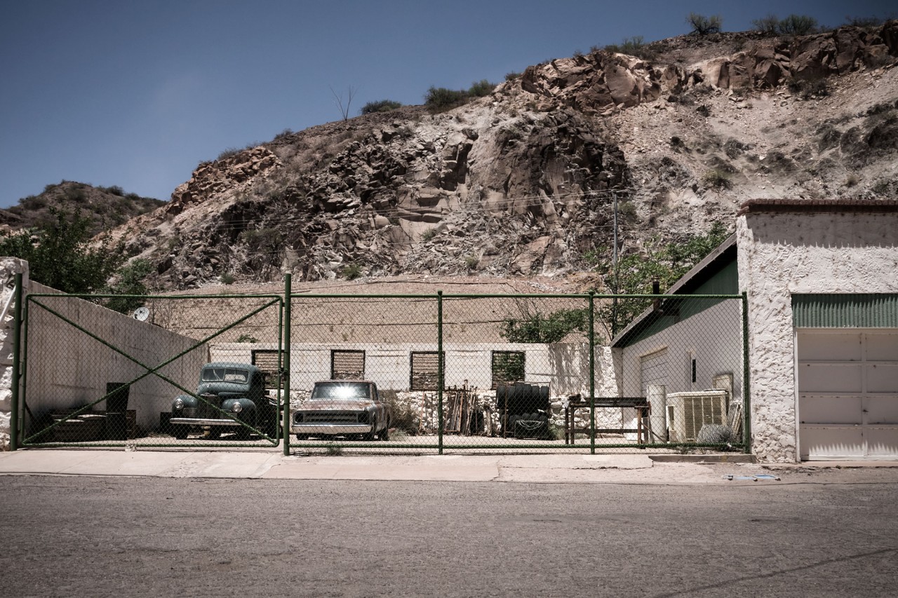
We set out on foot to explore the Historic District of Clifton. Walking through the beautifully preserved Old Town is like stepping into the past. Just south of the town the mountain roads end, we turn into the sun, and head for home.


