For the inauguration of Overland Routes we are featuring one of the most beautiful and remote trails in America: Valley of the Gods and Elephant Hill in Southeast Utah. The original concept of Overland Routes, a comprehensive catalog of the continent’s overland trails, was released on expeditionportal.com in 2008. At the time, however, our team lacked the technical support and staffing needed. This changed in 2014 when Rob Boegheim, Director of Hema Maps, expressed interest in collaborating with Overland International on a North American mapping project. Hema is based in Brisbane, Australia, and is the global authority on digital rendering of backcountry tracks. They have provided hardware, training, and support to our staff, along with access to their excellent Explorer app (available for Apple and Android devices). We would like to thank them for their support and enthusiasm for this project. From this issue forward we will be bringing you detailed summaries on the how, why, when, and where for classic overland routes, each of which will be available to download as a .gpx track from the Hema Explorer Cloud. We hope you find Overland Routes interesting and educational, and are motivated to turn the key and head out on your next great adventure.
GENERAL INFORMATION
Elephant Hill and Valley of the Gods are contained within the Colorado Plateau, a physiographic region that comprises 130,000 square miles of Utah, Colorado, Arizona, and New Mexico. The area is principally high desert interrupted by the sky islands of the Henry, Manti-La Sal, and Abajo Mountains (among others)—stunning igneous intrusions that puncture massive sedimentary plateaus.
This track traverses over 4,000 feet of elevation range and the biota is surprisingly diverse, which is a reflection of the change from high desert to mountain. As a result the variety of flora is extensive, and comprised of multiple shrub communities and lowland riparian ecosystems on the desert floor; juniper at the intermediate elevations, and ponderosa pine in the mountains. The route starts and ends in transitional zones, which yield deer, bobcat, coyote, fox, and large populations of mouse, rabbit, and squirrel. Avian and reptile species are also prolific. Elk can be encountered at higher elevations along with grouse and turkey.

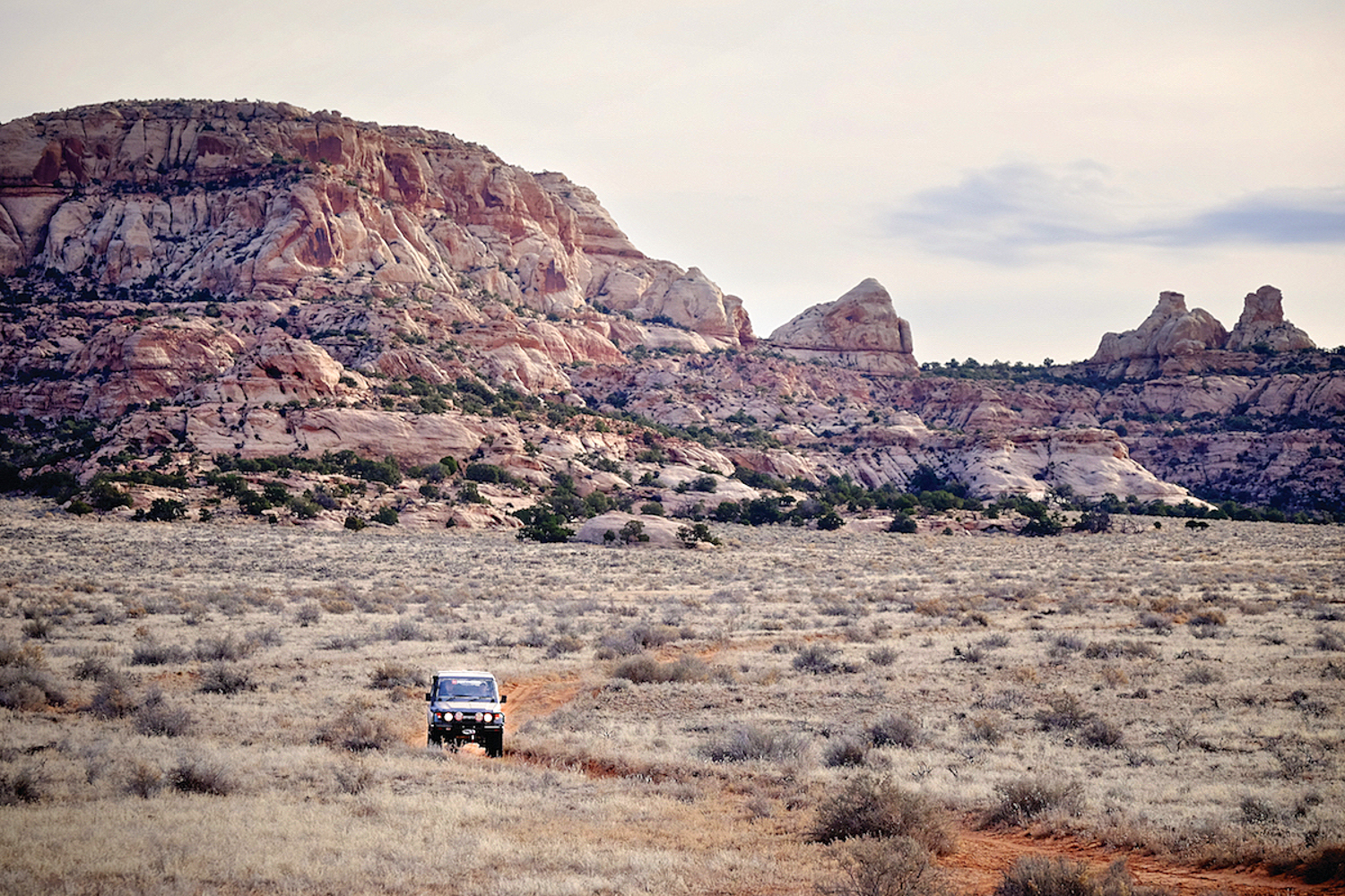
The history of the Colorado Plateau is rich in geologic, classic, and modern epochs. From expansive Ancestral Puebloan cliff dwellings and petroglyphs to Diné pictographs, this route will reward those willing to trek beyond the beaten path. Its recent history has been entrenched in the expansion of ranching and mining interests, and nearly all of the roads north of Comb Ridge were established to improve access for ranch vehicles to remote grazing land. In 1964, President Lyndon Johnson established Canyonlands National Park, which covers the northern third of the trail.
THE DRIVE
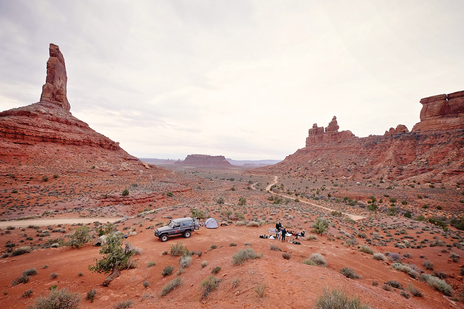
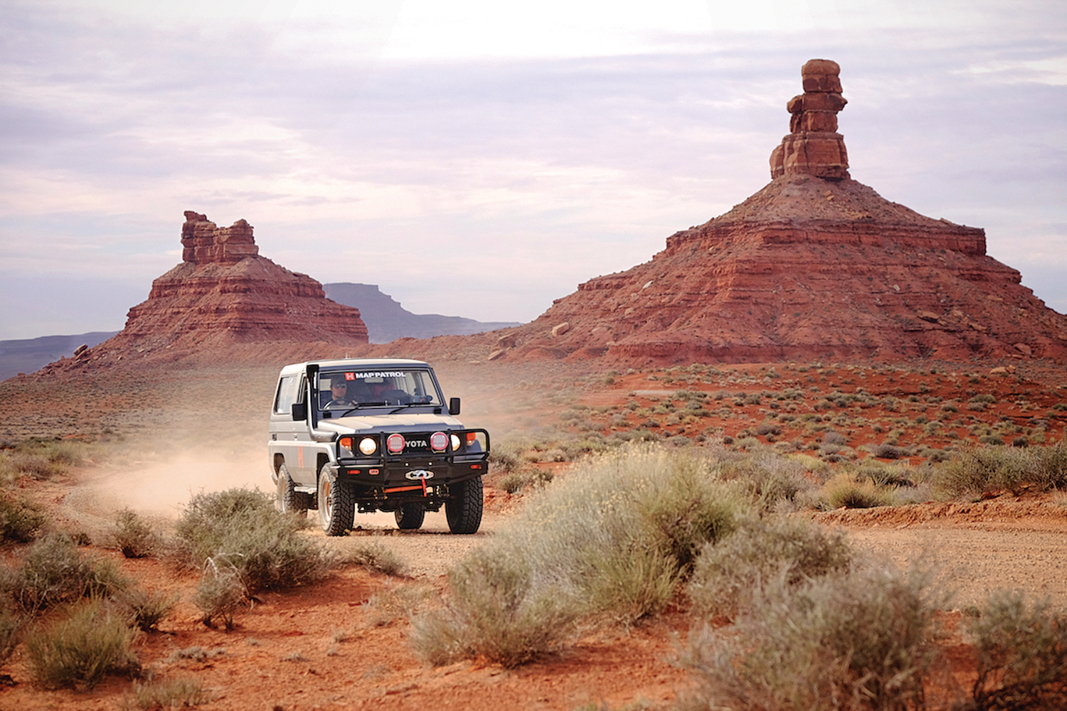
This route, which begins in Mexican Hat along the San Juan River, is one of the most beautiful, remote, and challenging multi-day tracks in the Desert Southwest. It is critical to top off the tanks, as it is nearly 200 miles of (mostly) off-highway driving to the next fuel stop in Monticello. The dirt section begins just below the Moki Dugway (a worthwhile detour) on SR 261, where it turns east on Valley of the Gods Road. Though this section is relatively easy and only requires four-wheel drive in a few places, the views are breathtaking and there are world-class primitive campsites. Our favorite camping areas are near Castle Butte along the northernmost reach of the trail. The road continues between sandstone formations and through several dry washes before reconnecting with US 163.
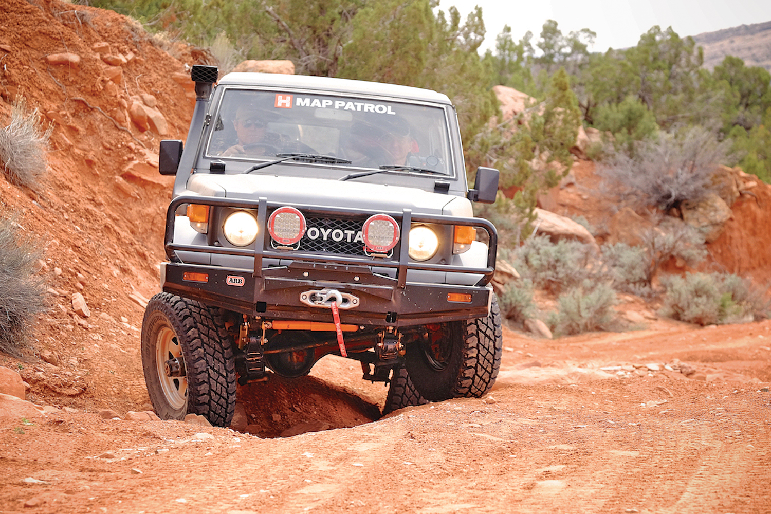
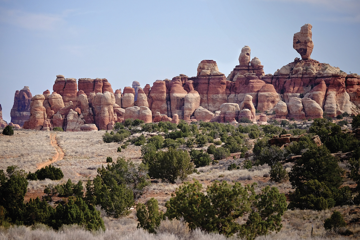
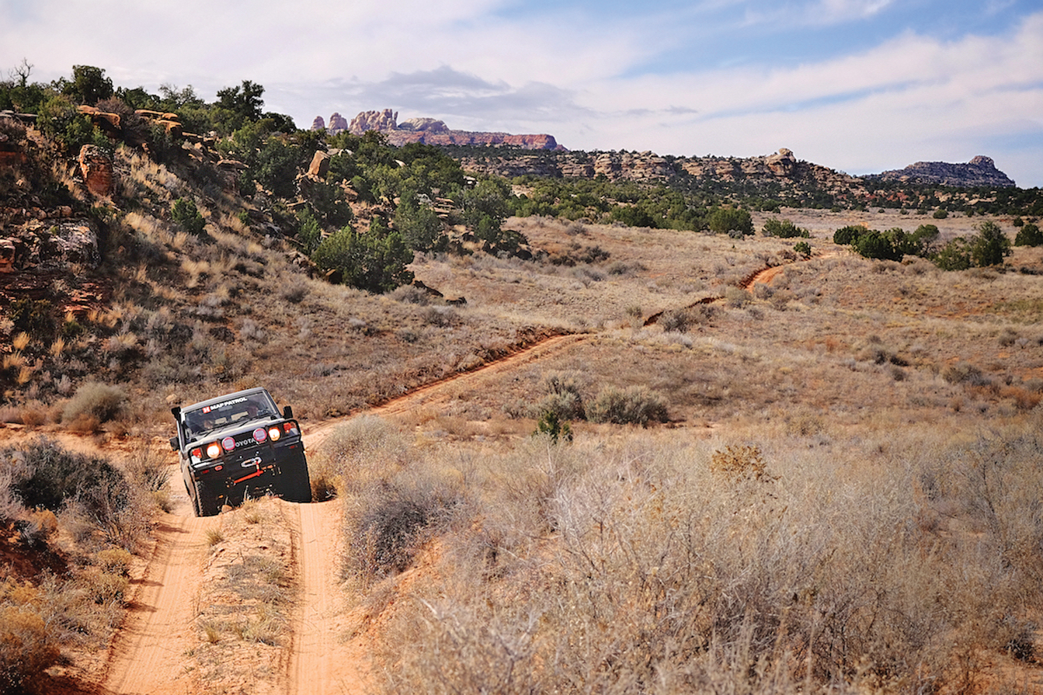
Turn east on US 163 and follow the massive sandstone uplift, which runs north and south for nearly 80 miles, to Comb Ridge. Just west of the monocline, veer north on CR 235 and follow the sandy two-track that parallels (and often crosses) Comb Wash. There are numerous cliff dwellings in the area and it is worth reserving time to do some exploring. The northern terminus of the Comb Ridge section is SR 95, which will be your last chance to detour for fuel (in Blanding) before heading into the Abajo Mountains. Our original plan was to cross SR 95 and continue on N. Comb Wash Road before climbing the challenging Posey’s switchbacks (start: 37°33’20”N, 109°39’39”W) up Comb Ridge. Unfortunately, it was closed due to a landslide. The more adventurous readers may choose to investigate, as it will certainly be repaired at some time. To bypass the Comb Ridge climb, head east on SR 95 and then north on Elk Mountain Road.
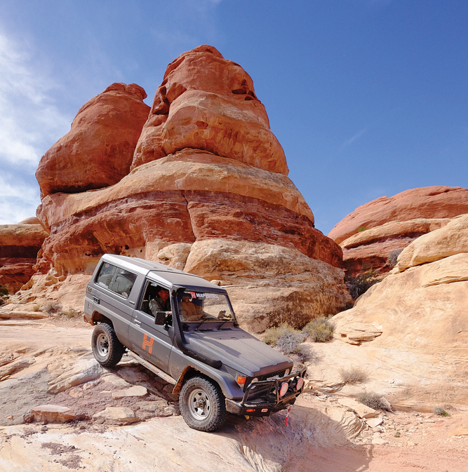
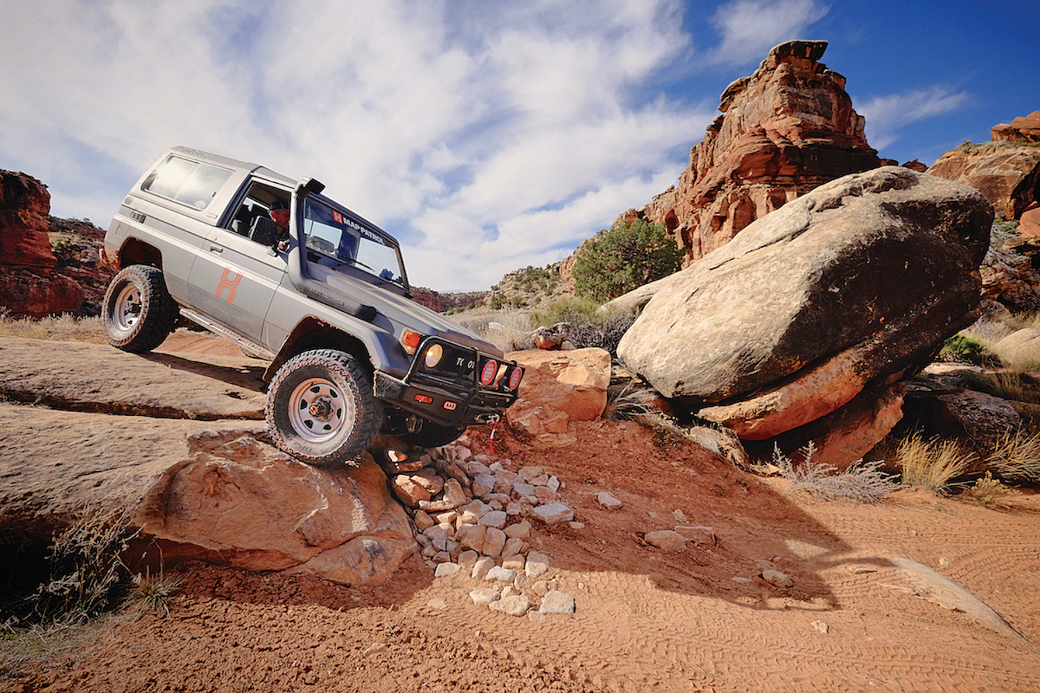
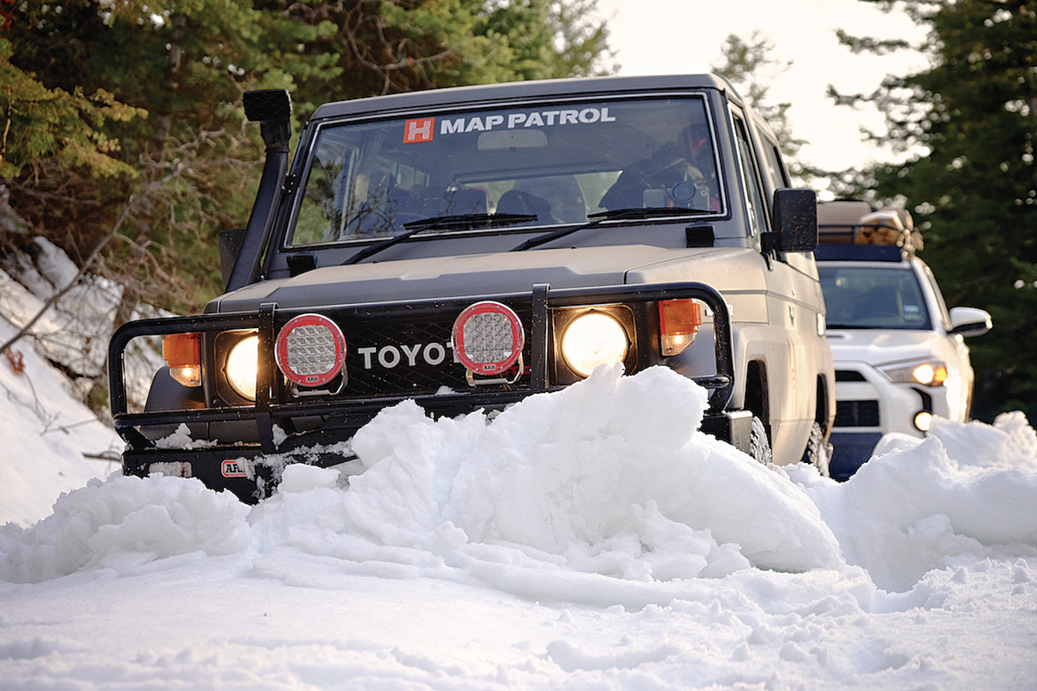
Crossing the Abajo Mountains may be difficult in early spring: We faced 3 feet of snow at the higher elevations during our late March scouting trip. Though it is best to wait until mid-April, experienced teams with properly equipped vehicles may be successful in the early and late seasons. The route continues northwest along South Elks Road and rises to over 8,000 feet in elevation before reaching the turnoff for Beef Basin (FR 093). The descent into Ruin Park and Bobby’s Hole represents technical terrain that will require low range and careful tire placement as you transition between sandy two-tracks and slickrock obstacles. This will be the last opportunity for camping without a Canyonlands permit.
While this entire route is stunning, the tall spires and outcroppings of the Needles District are the most captivating. The trail ultimately connects with Elephant Hill (one-way), one of the most difficult and challenging tracks in Canyonlands. It traverses Devil’s Lane and the ledges of the Silver Stairs before turning into switchbacks on the descent leading into a graded parking area at the bottom of Elephant Hill. At this point, four-wheel drive is no longer required and it is recommended to inflate your tires to street pressure: it is about 3 miles to the pavement and more than 50 miles to the next gas station.
ACCESS
Valley of the Gods From Mexican Hat, Utah, head north on US 163 for 4 miles to SR 261. Follow SR 261 for 6.5 miles to Valley of the Gods Road on the right.
Elephant Hill Follow US 191 north for 14.4 miles from Monticello, Utah, to SR 211(or 40 miles south from Moab). Proceed 37 miles to the Squaw Creek Campground and the Elephant Hill turn on the left.
LOGISTICS
Distance off-pavement 143 miles
Longest distance without fuel 195 miles
Suggested time 2-3 days
FUEL SOURCES
Mexican Hat, Utah 37°08’57.4”N, 109°51’36.1”W
Blanding, Utah 37°37’32.9”N, 109°28’42.1”W
Monticello, Utah 37°52’23.7”N, 109°20’34.4”W
DIFFICULTY
The majority of the route is through easy to moderate terrain, interrupted by difficult obstacles at Bobby’s Hole and on Elephant Hill. High-clearance four-wheel drive with low range is required. Quarterpanel protection and at least one locking differential are also recommended. Full-size vehicles are not suggested.
WHEN TO GO
April, May, September, and October are the best travel months. Temperatures are moderate and more comfortable than the highs of midsummer or the freezing winter lows.
PERMITS AND FEES
Canyonlands National Park requires permits for day use ($10 USD/ vehicle, 7-day pass) and backcountry camping ($30 USD/vehicle) for up to 14 consecutive nights. They are available at NPS visitor centers or the Hans Flat Ranger Station the day prior to entry. Advanced reservations are recommended and can be made at canypermits.nps.gov. The BLM does not require permits and camping is free for up to 14 days.
SUGGESTED CAMPSITES
Castle Butte Campground (BLM)
Accommodates 2-3 vehicles
Scenic overlook
37°18’57.1”N, 109°51’27.2”W
Castle Butte Campground (BLM)
Accommodates 2-3 vehicles
Scenic overlook
37°18’56.8”N, 109°51’22.8”W
Lord’s Lookout (BLM)
Accommodates 2-3 vehicles
Scenic overlook
37°16’01.2”N, 109°48’32.4”W
Acantilado Campground (BLM)
Accommodates 3-4 vehicles
7°22’54.2”N, 109°39’23.7”W
Fish Creek Camp (BLM)
Accommodates 4-6 vehicles
Roughly .5 miles from main road
The creek flows year-round. Water level varies.
37°23’02.7”N, 109°40’02.8”W
Comb Wash Camp (BLM)
Accommodates large groups
Picnic tables and bathrooms
37°30’29.0”N, 109°39’13.9”W
Devils Kitchen Campground (NPS)
Four campsites (three vehicles each)
Bathrooms
Reservations required
38°08’12.2”N, 109°51’38.3”W
CONTACTS
Canyonlands general information nps.gov/cany/, 435-719-2313
Backcountry Reservation Office canypermits.nps.gov,
435-259-4351
Hans Flat (Maze) Ranger Station 435-259-2652
Canyonlands Administration/BLM Field Office 435-719-2100
Road conditions nps.gov/cany/planyourvisit/roadstatus.htm,
435-259-4351
Moab Regional Hospital amhmoab.org, 435-259-7191
Moab Police Department 435-259-8938
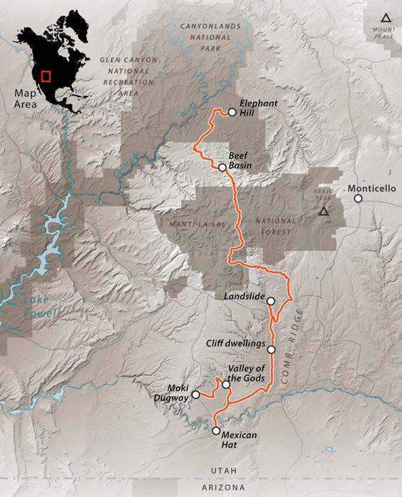 Overland Route descriptions are intended to be an overview of the trail rather than turn-by-turn instructions. As with any remote travel, conditions can change dramatically. This route may be impassable in winter, and summer rains can subject highdesert dry washes to flash flooding. As always, our team’s GPS track can be found by visiting the overland routes home page here.


