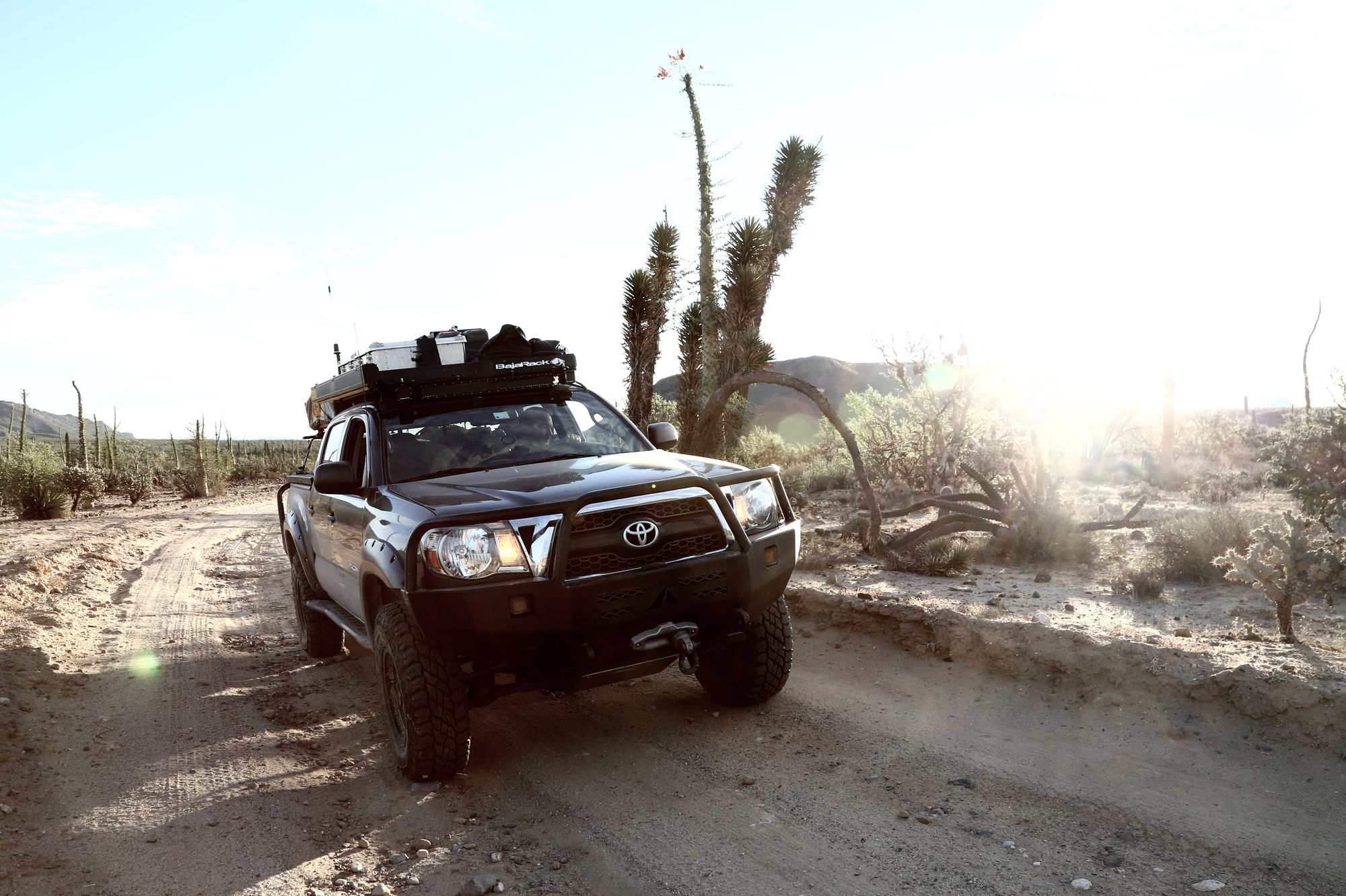
Cirios plants, also known as boojum trees, provide fascinating roadside entertainment in Baja’s Valle de los Cirios protected area. Legend has it they inspired some of Dr. Seuss’ comical characters.
Editor’s note: This article was originally published in Overland Journal’s Winter 2020 Issue.
“ Do you feel safe down there?” It’s the question we hear most often from fellow Americans regarding our travels in Baja California, and the answer is, “As safe as anywhere else.” But, really, there’s more to the story. A tunnel of cactus constricts the dusty one-lane road leading from San Luis Gonzaga into the desert of Baja California Sur. We slow our Toyota Tacoma to a stop when the stationary rear end of a red pickup truck appears around the bend, blocking the narrow path. Three men are standing outside the vehicle. Driving around them, through thickets of thorns and needles, is unthinkable if not impossible. With no other option, we stop.
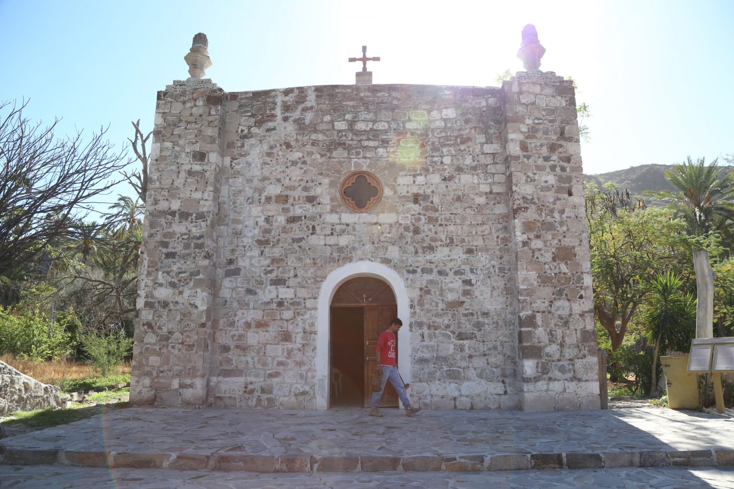
The church at San José de Comondú was once the largest of all the Baja California missions, but only this side chapel remains today.
A travel alert issued by the US State Department the day before pops into my head. “Exercise increased caution in Mexico due to crime…Violent crime, such as homicide, kidnapping, carjacking, and robbery is widespread.”
The men huddle around the front of the late ’90s Chevrolet, its axle drooping on the right. My husband, Bill, walks ahead to investigate. I watch from the truck, my hand on our SPOT device, prepared to hit the SOS button. Soon Bill walks back for his toolbox, and I relax. Smelling a photo op, I grab my camera and join him at the breakdown.
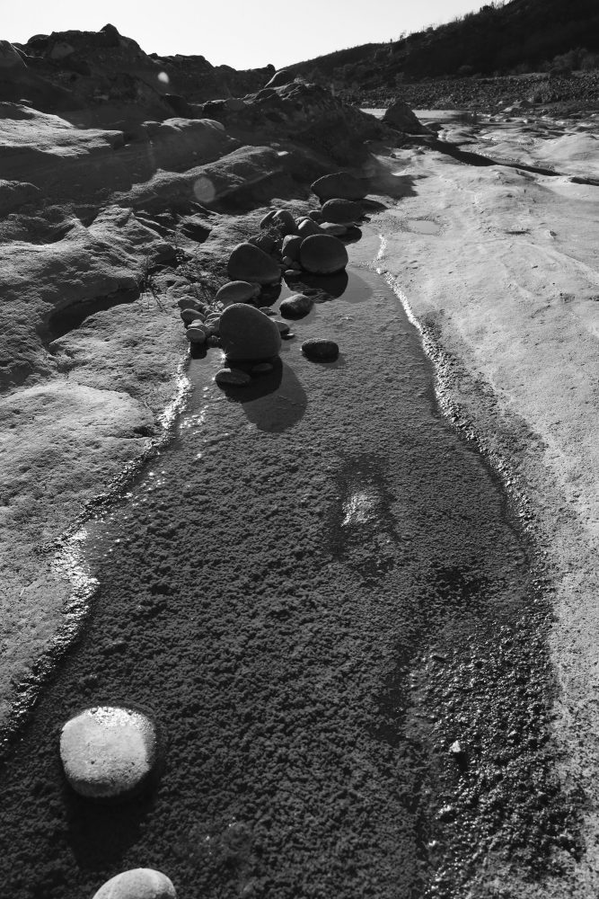
Late afternoon sun casts long shadows over tinajas, or water pockets, emphasizing Arroyo La Presa’s lunar look.
“Cerveza?” One of the men offers a Tecate as I walk up.
“No, gracias,” I say. It’s early afternoon, hours before I usually imbibe. Besides, the beer is probably warm. So Rodrigo, as it turns out he is called, hands the can to a stout fellow in a red checkered shirt and brown felt cowboy hat. Jovial and gregarious, the Tecate recipient is Ricardo, and he is clearly the leader of the pack. He is also the only one who speaks any English. Rodrigo and his buddy Luis seem mostly responsible for distributing beers and otherwise following Ricardo’s instructions.
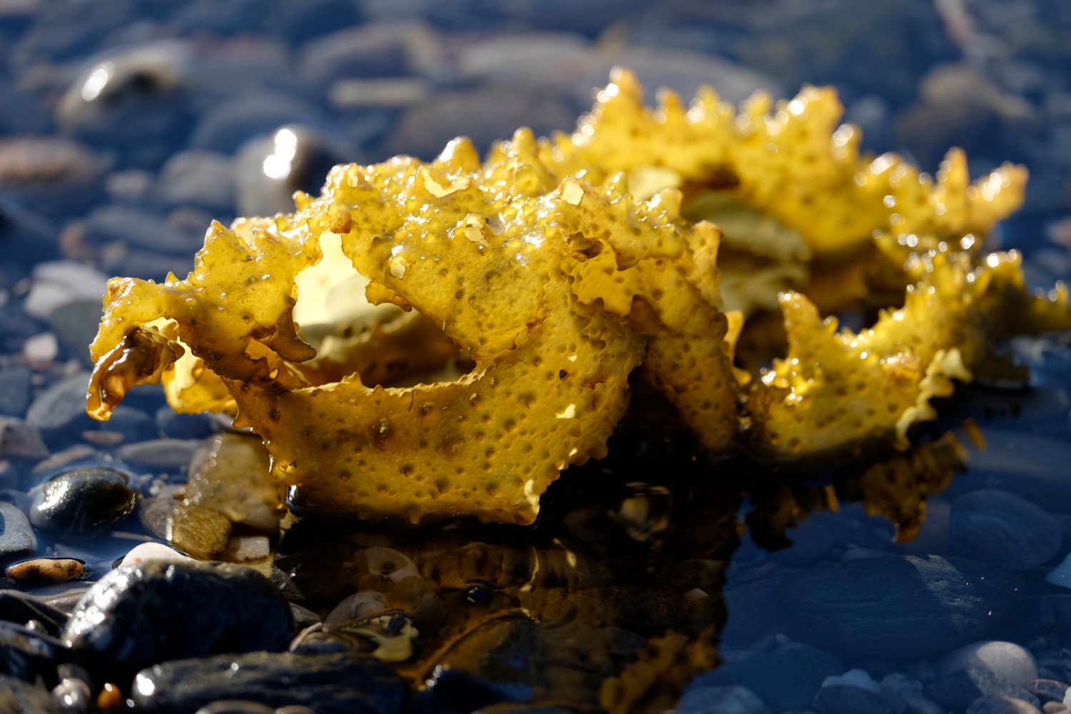
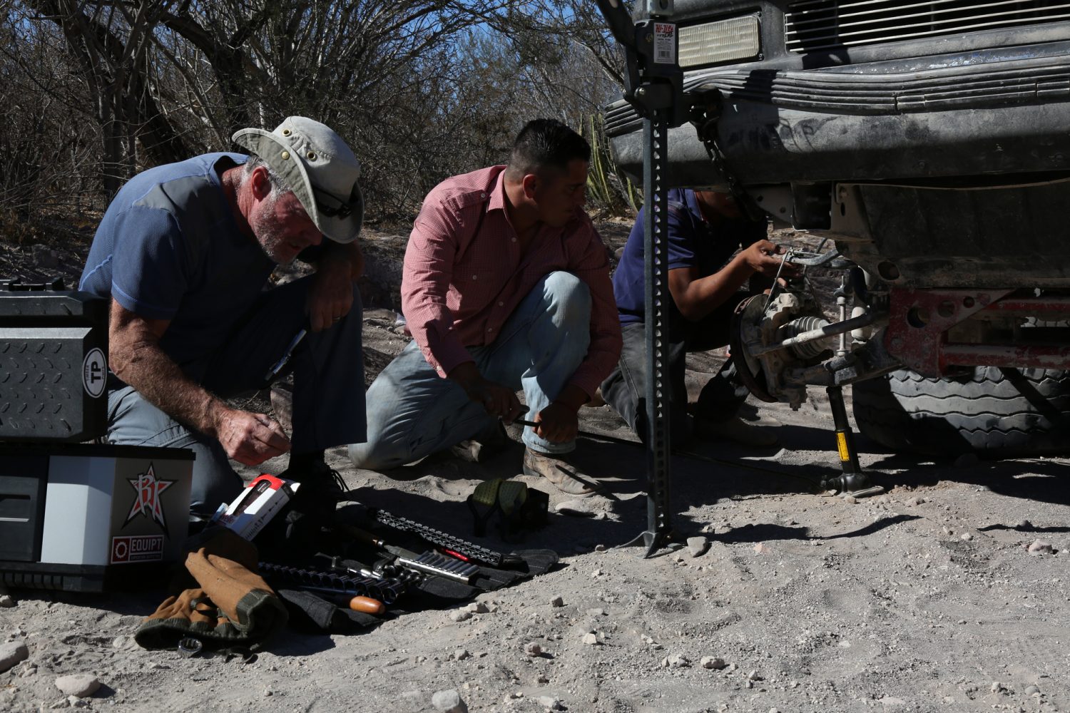
Left: Seaweed radiates an unearthly light against the black gravel beach on the Bahía de los Ángeles. Right: Spare hardware and a Hi-Lift jack always come in handy when overlanding, especially when helping another traveler.
Their dirty truck has a lifted suspension and has been, as we say back in Oklahoma, “rode hard.” It now has a broken ball joint. Getting it out of the way means getting it rolling— somehow. Bill has magical mechanical skills and carries a nearly bottomless set of tools. He puts both a Hi-Lift jack and the Tacoma’s factory jack to work raising the truck. All three Mexicans drink beer as they work under the truck, seemingly oblivious to the danger. I find myself thinking of OSHA and blurting out “Cuidado” a time or two as I watch. Bill keeps an eye, and a hand, on the Hi-Lift as he offers Ricardo tools and mechanical advice, which makes me feel better.
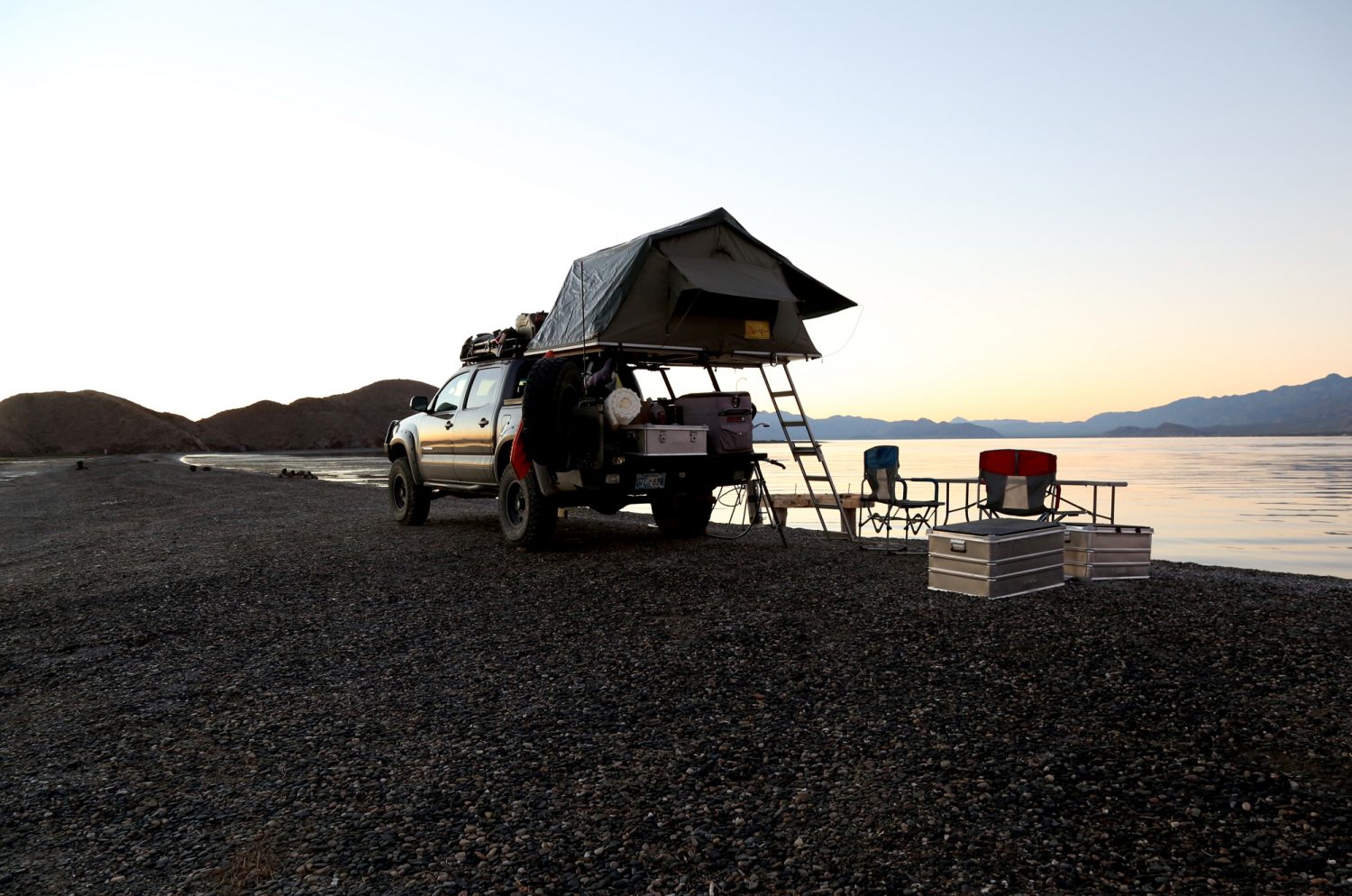
Our camp at Playa La Gringa provided a satisfying sense of isolation.
Ricardo’s English is good but limited, and my Spanish is bad and very limited, but we manage to carry on a conversation. He says he’s been out buying horses for a rancho, but I later speculate the trio might have just gone to town for cerveza.
I tell Ricardo we are out exploring Spanish missions, revealing my interest in history, and soon he pulls out a large point knapped from local stone, which he says he found while running in the mountains. It is 5 or 6 inches long and in pristine condition. I admire it, curious about its age and origins and a little dubious. I show him our intended route on the map, east through the desert to San Evaristo, a fishing village on the Sea of Cortez, from which we will launch our southbound leg toward La Paz. “Go see my friend Lupe Sierra. He has a restaurant in San Evaristo,” Ricardo says. We promise to do so.
After about an hour working in the sun and several Tecates, the hombres get the vehicle rolling. Ricardo and the boys head off down the trail into the desert. Bill and I aren’t far behind, followed by a family in a small, white pickup who has been stranded behind us. About a mile farther, our friends’ red truck reappears. The repair failed, and they need a ride. At least they got the truck out of the road.
“Can you take us to Las Tinajitas?” asks Ricardo.
“Of course,” says Bill. There’s no room in our back seat because it has been removed and replaced with toolboxes and an air compressor, and is otherwise filled with luggage. So Ricardo, Luis, and Rodrigo climb atop our truck-top tent, mounted over the bed of our Tacoma. They leave everything behind in their pickup, except for a #3 washtub full of Tecate and ice, covered with an old canvas, which they squeeze beneath their feet atop the water tank in the truck bed. The beer is cold, after all.
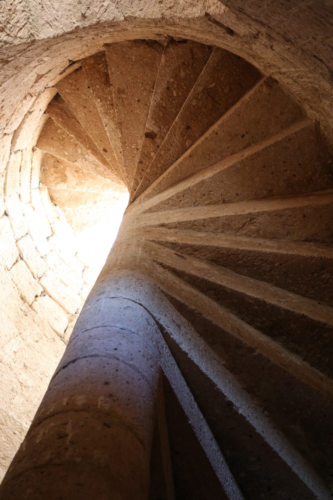
A cut-stone spiral staircase at Misión San Borja, completed in 1801, leads from the vestibule to the choir loft.
Like a homecoming queen and her court on the back of a red convertible they ride, three abreast. Ricardo (who acknowledges his speedy driving contributed to the truck’s demise) actually shouts, “Andale.” Bill finds a radio station playing mariachi music and turns up the volume, adding to the cacophony of yelling Mexicans and road noise.
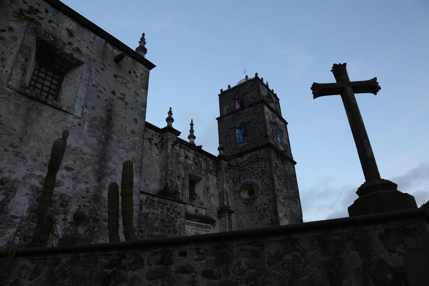
Misión San Francisco Javier de Viggé-Biaundó, built from 1744 to 1758 of cut volcanic rock, is still a thriving part of the community it anchors.
Before we reach Las Tinajitas, we stop at a rancho where Ricardo thinks he might get help. Luis and Rodrigo haul out the beer tub and stand next to it in the shade, having another Tecate while Ricardo checks on things. It’s a no-go here, so the amigos load up the washtub and themselves again, and we continue on to Las Tinajitas. Bill is in the spirit of things as he drifts around tight turns in the dust and bumps over the rocky roads. I hope the boys won’t fall off. They keep up a constant string of loud chatting and shouting, so it’s hard to tell whether they are happy or distressed.
For the last month, weʼd been camping along the Sea of Cortez—waves lapping, sometimes crashing, a few feet from our camp. Sunrises were so intense I would lie awake and wait for them.
At Las Tinajitas, Luis and Rodrigo wait to unload the washtub, but Ricardo confirms he can get a ride from there; they pull their precious cargo out of its slot. Our new friend reminds us to look up Lupe Sierra when we get to San Evaristo. Bill and I hug all three and wave as we drive off, hoping Ricardo receives the help he needs, already feeling parental toward the young men.
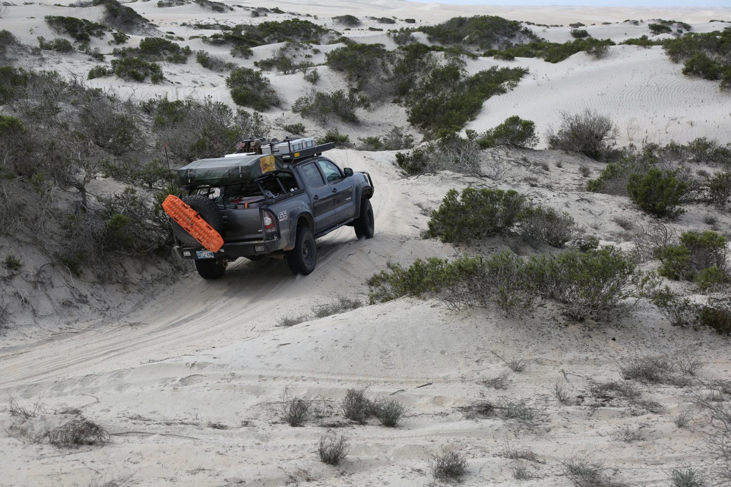
A maze of sand on the Pacific Coast in Baja Sur turns our Tacoma into an amusement park ride.
Bill and I had been exploring back roads for nearly a month in Baja, a place almost entirely new to us, camping along the 61 Sea of Cortez—waves lapping, sometimes crashing, a few feet from our camp. Sunrises were so intense I would lie awake and
wait for them.
We had escaped Oklahoma right after Christmas, bringing maps, GPS, guidebooks, and sound advice from knowledgeable friends, but consciously avoided making an itinerary. There was no scrimping on the truck, however. It was already fit for rough off-pavement use, and Bill had spent weeks modifying it further for this trip. He’d added a 30-gallon water tank and onboard hot shower, obviating my usual need to find a hotel after a couple of days of camping. My mother said the truck was turning into a motorhome, with its shower, rooftop tent, and refrigerator. I suggested we not say that to Bill.
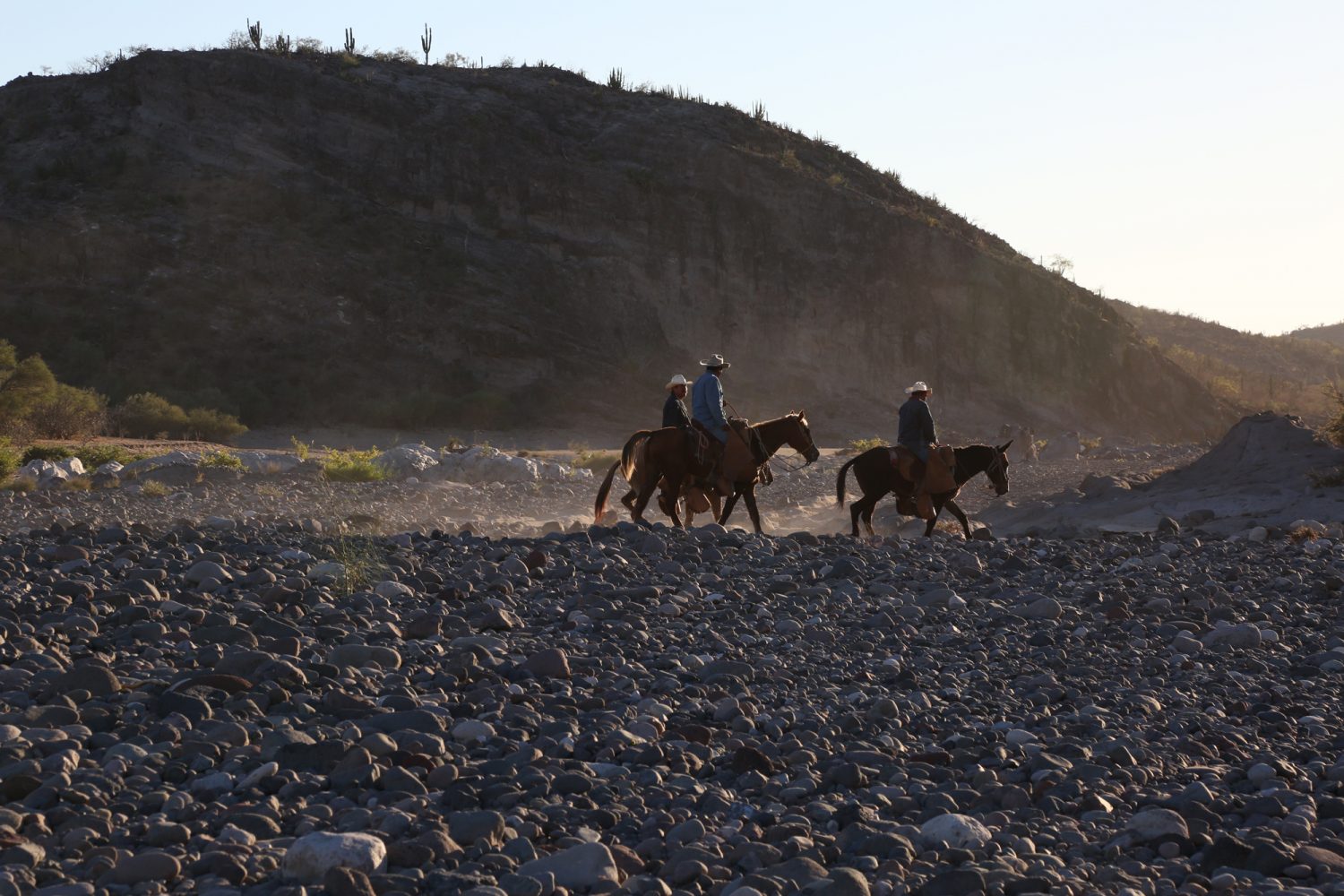
Just when we think we’re completely alone in the middle of the desert, a group of singing vaqueros rides by on their eve- ning commute.
Bill and I had crossed the border in Mexicali, driving south on Highway 5 with the general intention of traveling along the Sea of Cortez. The peninsula of Baja California protrudes nearly 800 miles into the Pacific Ocean south of the US state of California and west of mainland Mexico. Between Baja and the mainland, the Sea of Cortez, commonly known as the Gulf of California, is 150 miles across at its widest point. Its beaches are rumored to be warmer than those on the Pacific side, an attractive proposition for us.
With any journey, a direction of travel and goal of some sort must emerge. On our third day in Mexico, we met with a Baja- savvy fellow overlander, also a history buff, who recommended a couple of backcountry tours to Spanish missions.
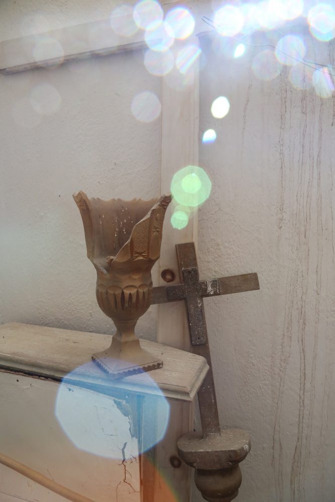
A broken chalice and dusty crucifix suggest Misión San Luis Gonzaga has seen better days.
Twenty-seven Catholic missions were founded by the Spanish along the length of the peninsula of Baja California, between 1697 and 1834. The state of these buildings today varies greatly. Some are well preserved and still in use as churches; others have altogether disappeared into the rugged landscape. Many are somewhere in the middle.
By the time we reached San Luis Gonzaga, we had done the “easy” mission tour, first visiting San Borja, the northernmost stone mission church on the peninsula. There, we toured the beautiful structure, completed around 1801, with Angel, a member of the family who takes care of the historical site, and saw the ruins of the original adobe brick church, circa 1768. We slept in a palapa in San Javier, a mountain village anchored by Misión San Francisco Javier de Viggé-Biaundó, completed in 1758. This one is Baja’s best-preserved original mission and continues to function as a church. And, we’d made a brief stop at the remains of San José de Comondú, founded in 1708 and eventually built into a massive cut-stone church complex at its final location. It was the largest mission church in all of California but fell into ruin and was demolished in 1936. A side chapel to the main building was preserved and is all that remains. None of these were difficult to reach.
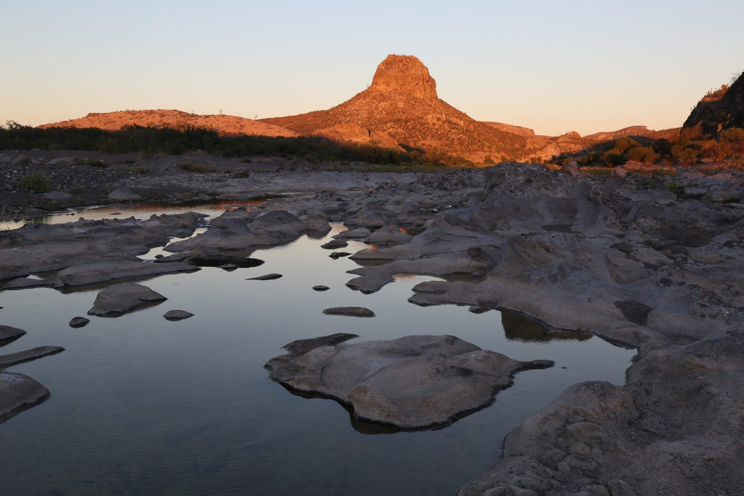
A butte near Arroyo La Presa dominates the landscape. Roofless walls of the priests’ quarters and a mission annex stand adjacent to Misión San Luis Gonzaga.
Today, we began a more challenging route, starting in San Luis Gonzaga, which is not much more than a dusty street running alongside a handful of impressive buildings—out of place and now abandoned—and a neglected church still in use. Misión San Luis Gonzaga was the last mission founded in the southern half of the Baja peninsula. The stone church, completed in 1758, remains intact.
I photographed the church after lunching on papaya we’d picked up in Ciudad Insurgentes a few miles back on Highway 1, and Bill chatted with two motorcyclists from the States. They were also passing through, before continuing into the desert toward the Sea of Cortez.
Up and over the coastal mountains, we ascend to a spectacular view of the Sea of Cortez before creeping down a track so steep, rough, and rocky we bet no other motorized vehicle had used it in months.
After the encounter with Ri- cardo’s bunch, we begin a campsite search as the sun winds down. A promising side road leads us to the bank of Arroyo La Presa, a mostly dry streambed of gray stone punctured by tinajas, or cavities holding water, making the terrain look oddly lunar.

Roofless walls of the priests’ quarters and a mission annex stand adjacent to Misión San Luis Gonzaga.
The singing vaqueros are a complete surprise, but pleasant as surprises go. As Bill and I are cooking dinner at dusk, melodic voices arise in the distance. The music floats closer, backed by a clip-clop percussion, and soon three cowboys on horseback appear on a trail we hadn’t noticed. We wave nervously, concerned we might be trespassing. The vaqueros wave back and continue on their path. Headed home, we surmise, from the day’s work at a nearby rancho.
Cowbells clunk gently all night, confirming the proximity of bovines. At sunrise, the vaqueros pass by again, going in the opposite direction. Soon, a young man on foot stops on his way. He speaks no English. We offer him coffee, which he accepts, but when we can offer no leche or azucar (milk or sugar, we drink it black), he smiles and hands it back. A third fellow rides by on a small horse, also stopping to say hola. The trail, invisible to us, has turned out to be a major thoroughfare.
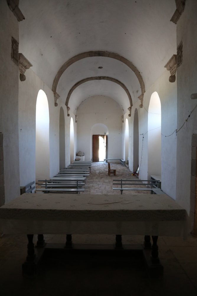
Humble wooden pews still serve vil- lagers who worship beneath the barrel-vaulted ceiling of Misión San Luis Gonzaga, completed in 1758.
Our goal this day is to reach the second mission in the more challenging phase of our tour—difficult roads, remote locations. Misión Dolores was established in 1721 at Apaté, on the coast of the Sea of Cortez between Loreto and La Paz. A stone church, dam, aqueduct, reservoir, and other structures were built there, and ruins are said to remain.
Our National Geographic map shows a way to Misión Dolores, and we head east from La Presa in that direction. In spite of what the map says, however, we can’t locate an actual road to Misión Dolores. Another road leads in a similar direction, and we decide to try it. It is certainly rugged enough to be on the “challenging” mission tour. Up and over the coastal mountains, we ascend to a spectacular view of the Sea of Cortez before creeping down a track so steep, rough, and rocky we bet no other motorized vehicle had used it in months. Eventually, we reach sea level and find ourselves in the village of Los Burros, which looks to be a short distance south of Misión Dolores. At a fishing hut on the beach, a local man tells us you can’t drive to Dolores, but must take a boat and then hike. We might have hired him to take us, but at this point in the day and without a better understanding of what we might be getting into, we choose to turn around. Back over the mountains, we briefly explore a couple of side trails that look as if they might lead to Misión Dolores but end quickly in a forest of cactus. The shadows are getting long, so we return to the previous night’s campsite and find a spot more hidden (we hope) from the vaquero highway.
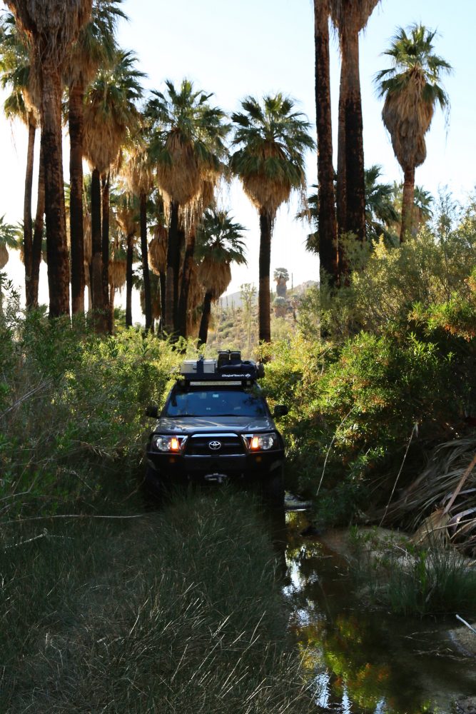
The next day, we abandon the quest for Dolores and go in search of our third objective, Misión La Pasión, which the map shows just east of our camp in the village of Chillá. We had driven through there the day before and saw no sign of a mission, but this morning we asked the locals. Their directions lead us to a trail that crosses a stream, beyond which we see nothing but a house. We drive past it, and the road quickly ends. From there, I see a stone tower atop a nearby hill and insist we should walk to it cross-country, perhaps a hundred yards. Bill suggests it is someone’s property, and it would be neither wise nor respectful to trespass. So we drive back toward the stream, and, just before the crossing, spy two men waving at us from the front gate of the house. I get out and explain what we are looking for. “Aqui,” says the older man.
“Misión La Pasión is here?” I ask.
“Si, aqui,” says Maximo Amador, smiling and inviting us to see what remains. He shows us around his property and ex- plains. With my poor Spanish, I comprehend only a little, but it’s enough. All that’s left of Misión La Pasión are foundations, cornerstones, rubble, and irrigation ditches. Still, it feels like a huge discovery, and Maximo offers a wealth of information as we walk around with him and his son, Modes. The large stone structure I had seen on the hill is a modern cistern Maximo built. He brings us back to his house and displays a collection of artifacts and a certificate of appreciation he received from the University of Utah for his support of their anthropological research in the region. I later contacted the individual who had signed the certificate, and he confirmed we’d made a great find when we ran into Maximo, who has guided their teams and provided camping and meals.
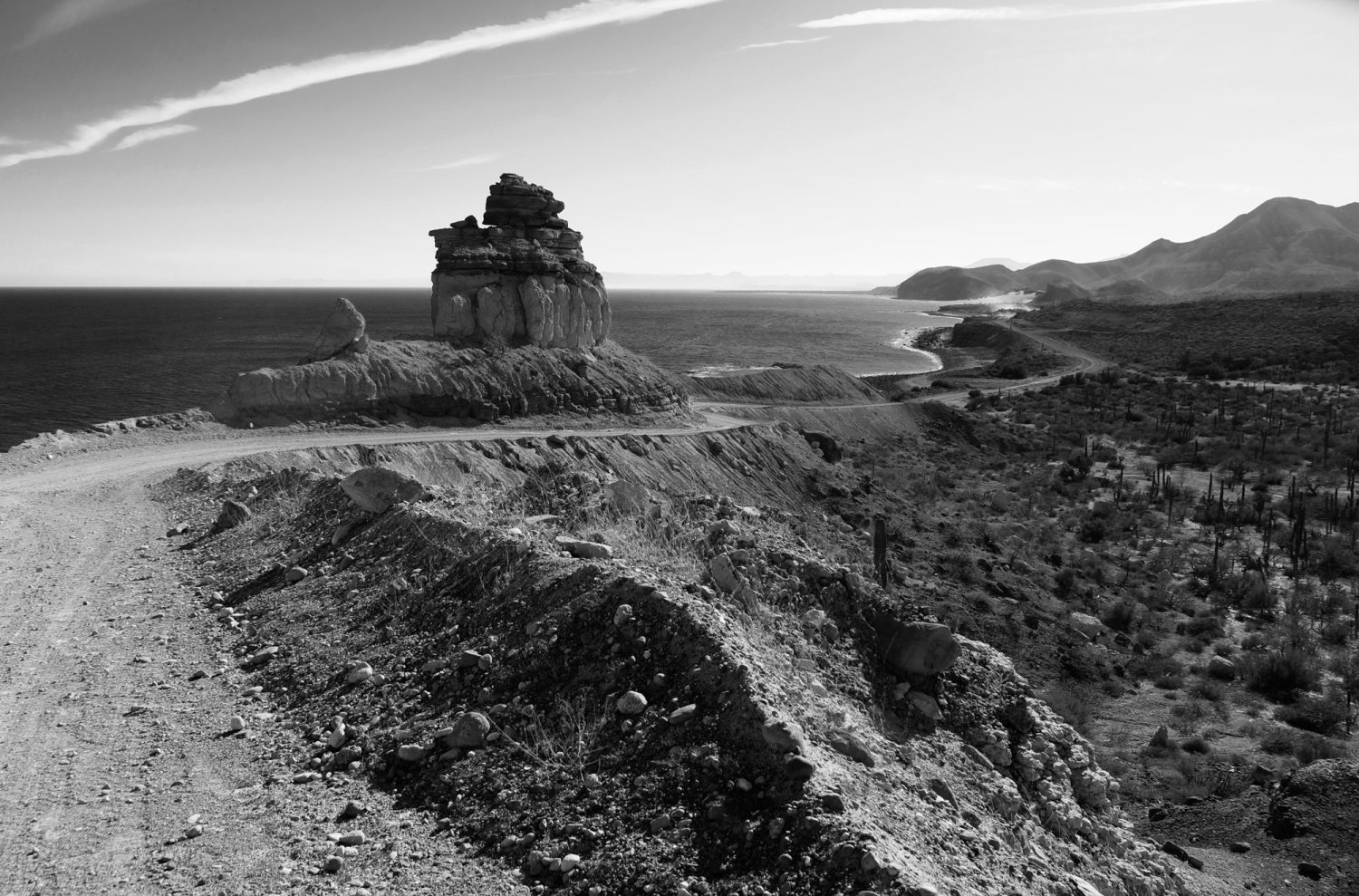
The magical moonscape of Baja is well represented on this lonely road out of San Evaristo as we head toward La Paz.
Feeling we’ve accomplished enough, despite not reaching Misión Dolores (Maximo said we had reached Misión Dolores since it actually was moved to the site of La Pasión in 1741), we drive toward San Evaristo. The journey to Los Burros the day before had consumed much of our fuel, and by the time we rolled into San Evaristo, we were looking for gas. We expect no Pemex gas stations in the fishing village, but boats need gas, so there’s hope. We have 15 gallons of gas on board in jerry cans but prefer not to tap into that reserve. Remembering Ricardo’s advice and being hungry, we decide to look for Lupe Sierra’s restaurant right away. Entering the settlement, there’s a web of dirt tracks and a sign indicating a restaurant ahead. We follow the path toward the restaurant and stop. A man in white socks, sandals, and shorts stands on the porch. I tell him we’re looking for Lupe Sierra’s restaurant. He says with a smile, “I am Lupe Sierra.”

Racing sunset as we return to camp after an unsuccessful attempt to find Mis- ión Dolores along the coast of the Sea of Cortez.
Lupe treats us with hospitality, and his shrimp tacos are delicious. We mention the association with Ricardo, but it is clear Lupe’s generosity is not linked to that acquaintance. Bill asks about purchasing gas, and Lupe says, “Yes, I have gas. You eat, and then we will take care of that.”
After we enjoy our tacos, we ask the waitress, who speaks no English, if they have helado (ice cream), wanting a bit of dessert. “No helado,” she says, but shortly brings us a chocolate cupcake à la Hostess. It is cut cleanly in half, a few bites of sweetness to 67 top off our meal, and a perfect symbol of their kindness.
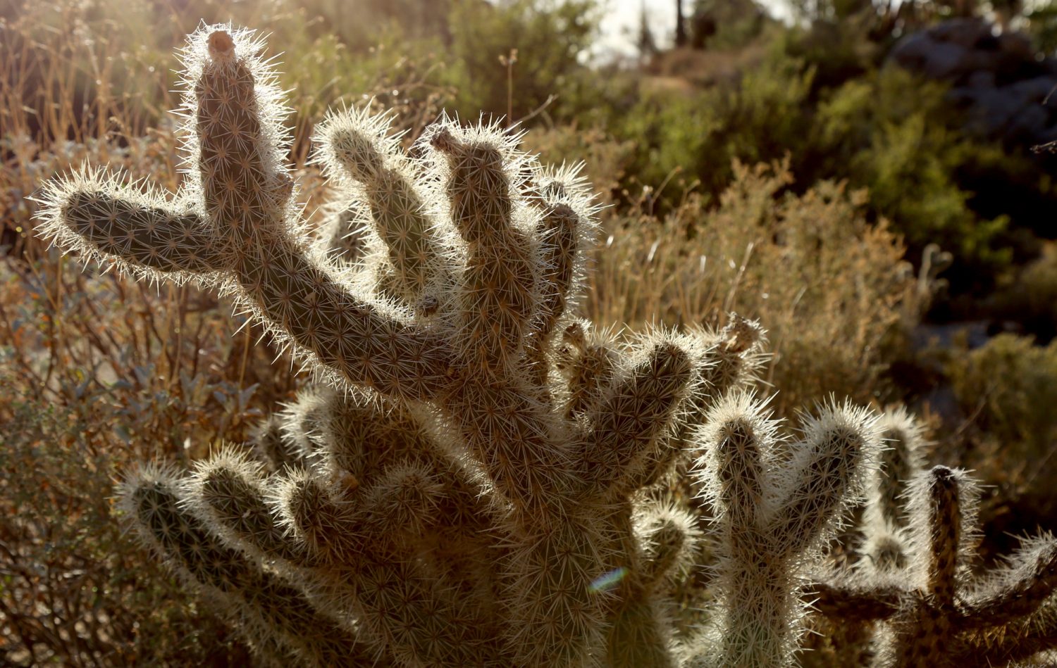
Glowing thickets of cactus capture both the silent energy and harsh conditions of the Baja desert.
When it is time to get the gas, we take the truck down to Lupe’s storage building. He offers the fuel at barely more than the price at the pump, and we buy 40 liters but pay him a fairer price, given he would have transported it all the way from La Paz. Full tank, full bellies, we leave San Evaristo and head south along the coast for another night of camping on the lovely Sea of Cortez, indeed feeling quite safe.


