Ending at the highest summit in Southwest Arizona, the Harquahala Mountain is as steep, rugged, and beautiful as the desert comes. Its finer historical points start back in the 1920’s when Charles G. Abbott spearheaded an effort for contraction of a weather observatory. Looking for a dry climate allowing for sun observation and measurement, the Harquahalas were an obvious choice for the new station. In 1920 the Smithsonian Observatory was constructed atop the peak and a small team began the tedious and grueling task of gathering weather data in the harsh Arizona desert. Although standards of living improved slowly with the addition of a refrigerator, telephone, and better quality water tanks, the observatory was abandoned in 1925 for a new location in Table Mountain California.
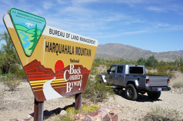
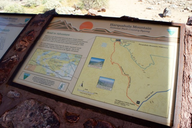
The small and crumbling pack trail has now been upgraded many times by the BLM and is drivable with only moderate difficulty. Covering 10.3 miles from start to finish, this route climbs 3,700 feet to a total of 5,600 feet above sea level. Starting off of Eagle Eye Road, a clear sign points to the Back Country Byway followed by a large and colorful entry sign just off the pavement and onto the dirt road. A shaded information station is placed off the start of the road with a map, description of the trail, and historical information. I would recommend stopping here to learn a little about the area and let the family use the “facilities” located nearby.

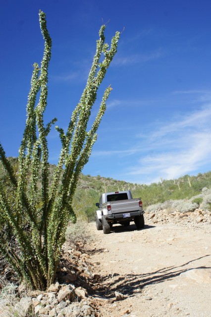
Wandering down the dirt road you’ll find markers along the route guiding you on the correct road. Once you’ve begun the markers and a little common sense will keep you on track so enjoy the views and don’t worry too much about missing a turn or taking the wrong path. If you do feel like exploring off the byway, several old mines can be found in this area including the Alaska, Snowball, and Monterey mines.
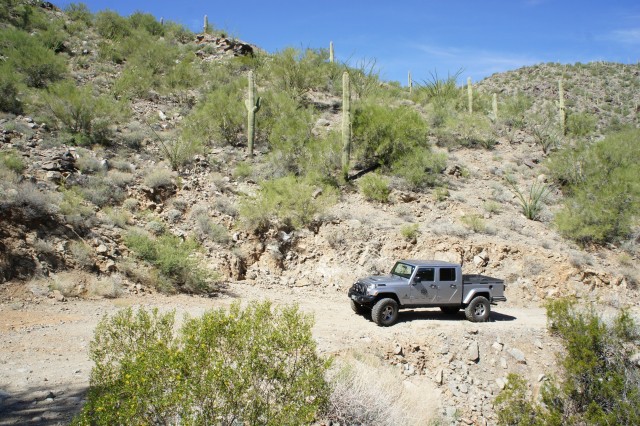
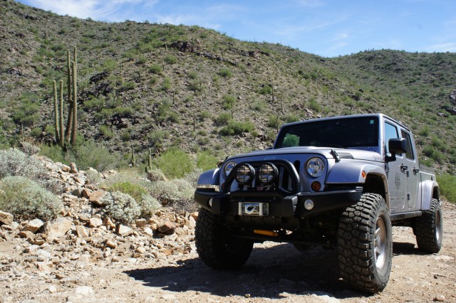
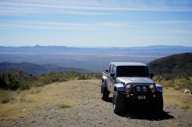
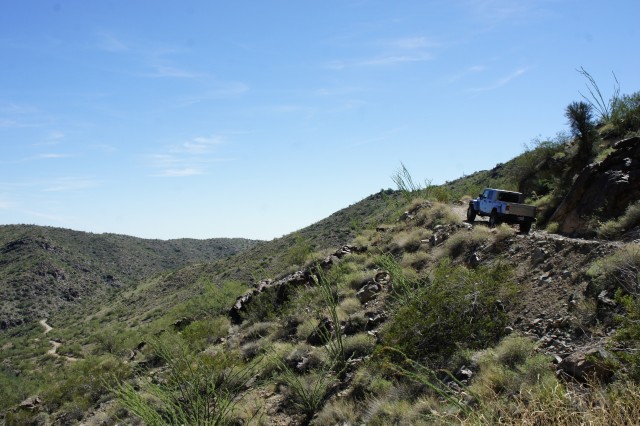
Continuing the climb the road will snake its way around the opposite side of the mountain revealing a stunning view of the desert below. WARNING: the road does narrow on many of the switchbacks and bypasses. While it’s wide enough for one vehicle it may be impossible for two vehicles to pass. Turn offs can be few and far between so please be cautious and polite to others on the trail.
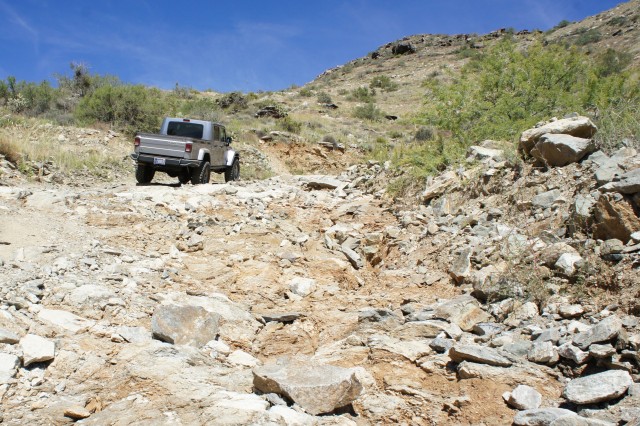
As you begin to approach the summit the road condition continues to deteriorate. The BLM paved one small section that was especially dangerous, however there are still several climbs that can result in slipping, spinning, and grinding. Use care when ascending these sections as a slide off the road would not end well for anyone involved at these heights. WARNING: The consistently steep ascent and slow speeds can easily result in engine overheating. Monitor temperatures carefully during your ascent. During colder months it is also possible that this road may gain snow or ice. DO NOT ATTEMPT THIS ROUTE UNDER THESE CONDITIONS. The unfavorable road slopes in several sections can lead to a loss of traction towards the ledge.
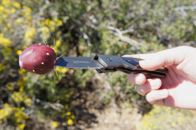


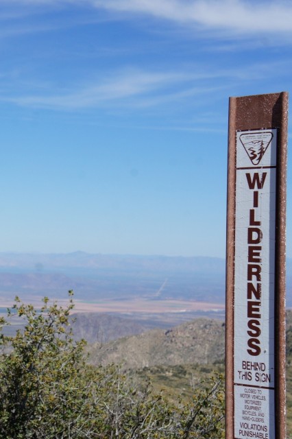
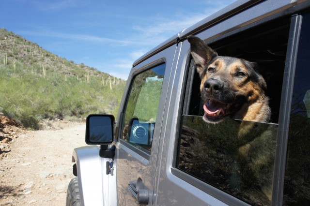
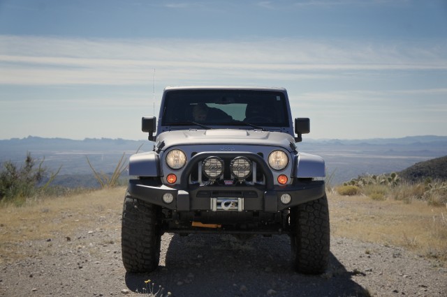
Upon reaching the top you’ll have the pleasure of witnessing some of the best views Arizona has to offer. It will be fairly cool at these altitudes so eating at one of the several overlook picnic tables is a great option for lunch. Make sure to bring plenty of water for yourself and your pets, the altitude combined with heat can make quick work of your hydration. If you are feeling adventurous with your foods, there are several prickly pears growing at the summit. Cut one off and remove the prickers for a tasty treat!
Coming back down the mountain you’ll want to make sure to downshift into first gear and check your brakes. The steep descent can quickly result in a serious problem if full braking power is not available. The views descending are even better than during the ascent so enjoy the journey!

Seasons and Conditions
As with anywhere you travel, time of year can make all the difference. While this trail is open all year, we would recommend avoiding summer months as the high desert heat can result in overheating during the slow steep climb and monsoon rains can and will wash out portions of the trail. Fall and Spring are both great times to run the trail. Temperatures are mild, weather is stable and favorable, and the road has had time to firm up since the monsoon season. Winter can be favorable as well however it is possible that snow or ice may accumulate. If this is the case DO NOT ATTEMPT THE TRAIL.
Permits
There are no permits required to traverse this trail, however some valuable information can be found on the BLM website regarding the area.
Campsites
Camping along this route is limited to back country remote sites without facilities. There are a few towards the summit of the trail and almost unlimited in the desert below the mountain. As always remember to choose your site carefully and tread lightly to avoid damage to the surrounding environment.

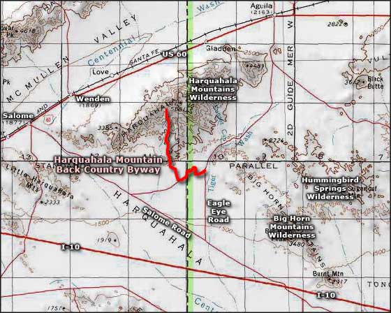
Map Provided by TrekNow
Getting There
From Phoenix travel 80 miles west on I-10 to the salome road exit at mile 50. Turn right and follow salome road for 9.6 miles to Eagle Eye Road. Continue roughly 8.5 miles until you see a sign pointing to the back country byway.
From Wickenburg take H-60 to Aguila. Turn south onto Eagle Eye Road for roughly 18.5 miles until you see a sign point to the back country byway.
Local Resources
The closest town in which you can find fuel, food, and hotels is Aguila Arizona. Unfortunately if you need a full array of services like medical, law enforcement, or better hotels and restaurants you’ll need to travel to the town of Wickenburg.
For more information check out the BLM website here: