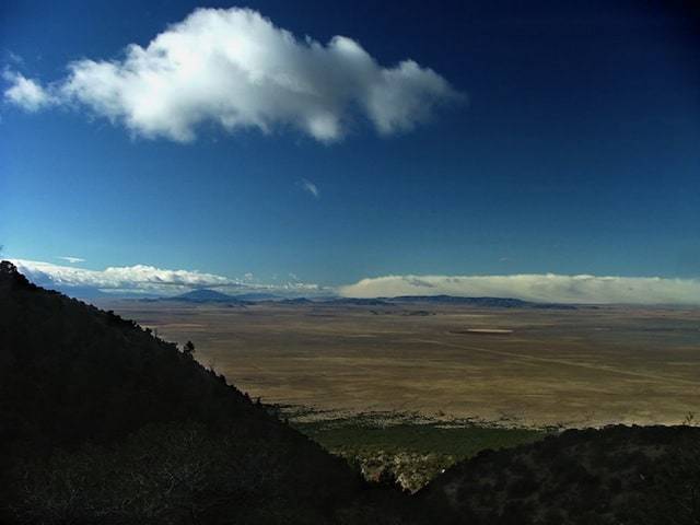
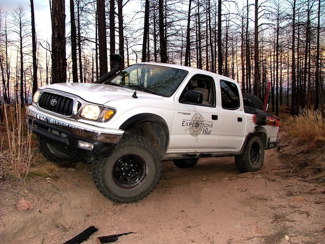
FR360 is a long, scenic trail through the Pike National Forest. While the forest road is well suited to most AWD suv’s (low range not required), there are still enough challenges to keep it interesting. My reason for driving this road was for access to the Longwater and Hackett Gulch trails.
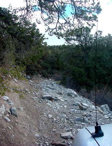
Without local knowledge, what I found was an area devastated by fire, resulting in extensive trail closures including Hackett Gulch. While Longwater Gulch was not posted as closed, this trail is not ready for vehicle traffic. The forest service has posted a sign warning drivers of the possibility of road blockages, washouts and falling trees. I only drove the trail a short distance before coming to a washout. Others had attempted to drive around the blockage, but at the expense of the fragile terrain. A properly engineered bypass or road repair needs to be completed before this trail should be used.
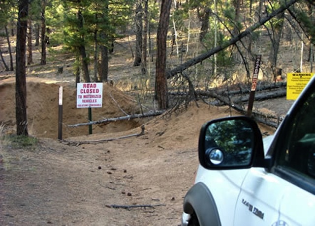
Overall, the FR360 trail (and dirt tracks required to access it) is nearly 35 miles. My reason for taking FR360 was access to the mentioned trails and to find a nice spot to camp. I did however get the “bug” to explore the FR all the way to the end. Expect 3 hours or so to complete the trek.
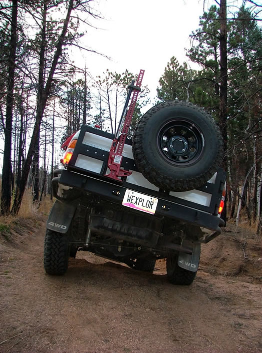
Longwater Gulch
More images from the Longwater Gulch Trail
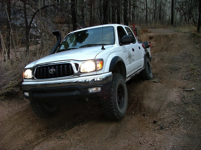
Mount Blanca
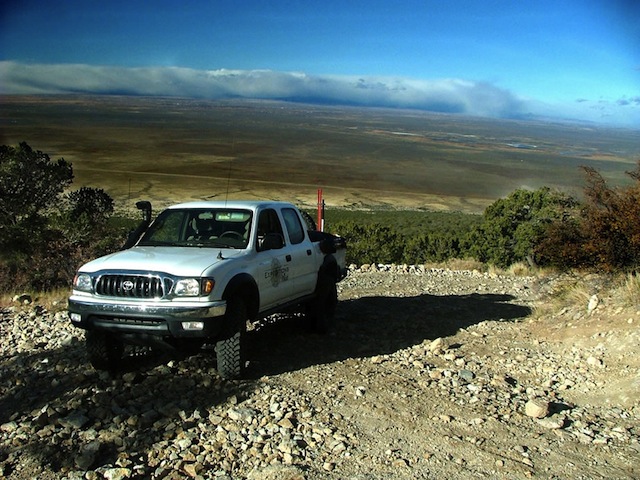
The Mt. Blanca trail is likely the most popular challenging trail in Southern Colorado. There is great camping and fishing at Como Lake and a hike to the top of Mt. Blanca itself, at over 14,000 feet. While I didn’t have the time to run the entire trail, I did the majority of it at over 4.7 miles, including camping at a great spot just shy of 10,000 feet. When I first made camp I was hit with steady rain and wind, with the temperature dropping below 40. I was thankful for my Sierra Designs 4-season tent and two heavy sleeping bags. After setting up the tent the temperature dropped precipitously, turning the rain into snow flurries. I made coffee and soup under the vestibule, while a thick blanket of snow covered the ground and the Tacoma. Life does not get much better!
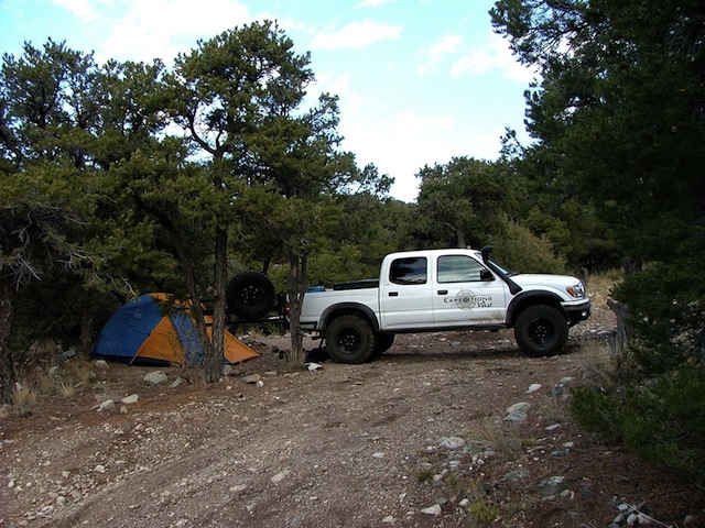
My camp for the night

One of the many switchbacks that climb the face
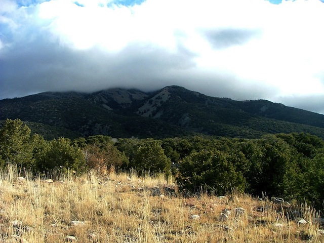
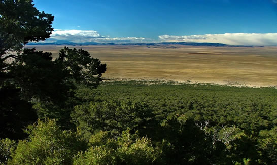
Mount Blanca, shrouded in clouds
Trip Details
- Date: 10/18-23/2004
- Trail Time: N/A
- Location: Several Trails over central Colorado-
-
FR360 (Woodland Park, CO)
Longwater Gulch (Woodland Park, CO)
Mt. Blanca (Southern Colorado, near Alamosa) - Mapping / GPS / Waypoint File:
-
MPS File FR360 and Longwater Gulch / Area Map
MPS File Mt. Blanca / Elevation Profile - Trail Rating (1-5 scale):
-
FR360- 2 (any AWD SUV with reasonable clearance. Longer wheelbases may high center on erosion control mounds)
Mt. Blanca- 2.5 (I did not drive the entire trail. The trail after my camp became steadily more challenging. I understand this trail to be a 3.5 for the last few miles.) - Major Obstacle: None
- Brush (minor, moderate, severe): Moderate
- Scenic Value (1-5 scale): 4- Colorado is a beautiful place!
- Attendees: Scott Brady- 2004 Toyota Tacoma
Trip Planning
-
Colorado Information:


