Whenever you read the word “Mojave” on the Portal, it’s typically the meat of a sandwich between “The” and “Road”. It happens so frequently these days, it’s easy to believe there is nothing but The Road in the Mojave Desert. In truth, the Mojave is vast, extending from the foothills outside Prescott, Arizona to the Tehachapi-San Gabriel-San Bernardino mountain ranges in the west, from well north of Death Valley to the southern border of Joshua Tree National Park, and even into southwestern Utah. What follows is a short list of trip-worthy regions to get you started in your own exploration of all the Mojave has to offer—I leave the rest for you to discover.
Some words of caution: though full of life, the Mojave is one of the harsher deserts in North America. Temperatures range from below freezing to well over 120°F, and a single day’s hi and low can span 50°F (or more, if traveling between higher and lower elevations). This desert is also home to some very dangerous wildlife, including deadly-poisonous bugs, spiders, reptiles, bobcat, mountain lions, and some very mean plants. The infamous jumping Cholla lives here, and has claimed many a shoe, pant leg, and truck tire (not to mention it’s taste for human blood). When in doubt, keep your distance. And please pack ample water, food, fuel, and proper navigation tools—and know how to use them!
The Northern Mojave
The northern region is the area most people have in mind when thinking of the Mojave. It’s the strip of land that must be crossed to reach Las Vegas, and the setting for many books, movies, folk tales, and ghost stories of the Southwest deserts. While by far the most visited and crowded portion of the Mojave, it’s well worth exploring.
The Mojave Preserve
Veterans of The Mojave Road will immediately recognize the terrain and climate of this area, as the Road happens to cut the Preserve right in half. While the Road is a perfect introduction to the region, it’s only a tiny fraction of what the Preserve has to offer for the adventure-seeking traveler. My advice: save the Road for a group event, and head out into the Preserve for a 3-day weekend of zig-zagging your way west from the Colorado River between Interstates 15 and 40.
Access to the Mojave Preserve is easy from several exits along Interstates 15 and 40, and several dirt roads leading off Highway 95. Don’t forget the small patch of Preserve north of I-15 outside Baker, it holds some of the most beautiful and well preserved sites in the area.
- Trip time: 2-4 days
- Difficulty: easy to moderate
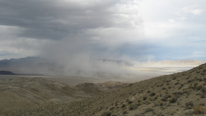
- Best time of year: Fall through Spring; the Summer monsoons are a sight to behold, but stay out of the washes!
- Camping: anywhere there is an existing fire ring; some developed campsites have toilets; the town of Nipton is a worthy stay, even for the most primitive overlander
- Resources: fuel is available along Interstate 15 and 40, which border the Preserve
- Easily combined with: Calico Ghost Town, Route 66, Death Valley, Las Vegas
- Additional reading: AdventureDuo, Mojave Road-ish Trip on ExPo; More photos: Flickr and Flickr
Death Valley
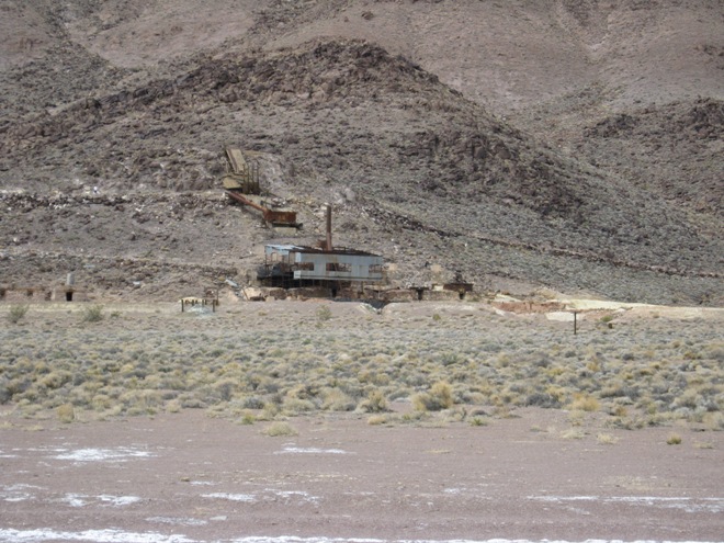
With more miles of road to explore than any other park in the NPS system, Death Valley offers a vast network of diverse terrain from high mountain tops to the lowest point in North America. Stunning vistas, massive dunes, desolate salt pans, and remnants of mining and tourism await the modern adventurer in Death Valley.
Death Valley is most commonly reached via the tarmac of Death Valley Road headed north out of Baker, but there are several far better options over dirt. Goler Canyon Road is my recommendation for an ideal start, which can be picked up outside the ghost town of Ballarat (north of Trona, California).
- Trip time: 2-5 days
- Difficulty: easy to difficult; the remoteness of some areas also adds to the challenge
- Best time of year: mid-Fall to early Spring
- Camping: for the most part, camping is allowed at existing fire rings; check the NPS website for specific restrictions
- Resources: some fuel is available at Furnace Creek (the only in-park Diesel), Stovepipe Wells, and Panamint Springs; it’s best to fuel up outside the park and carry extra fuel
- Easily combined with: Trona Pinnacles, the Mojave Preserve
- Additional reading: Gordon’s write-up on ExPo, TACODOC’s high-speed version
Nevada Overland Routes
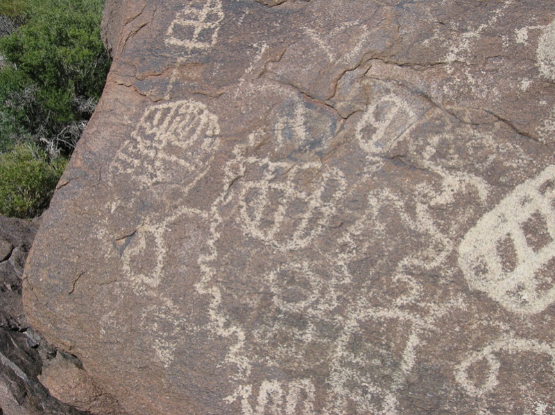
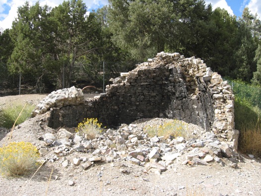
Spend the night in Nipton, CA and enjoy a filling breakfast before meandering north to explore the geologic sites, mining ruins, native history, and wide-open backcountry of southern Nevada. Photos by Tim France, from the Overland Routes project.


Access to the various trails will vary with each route, check out the Overland Routes page for details on reaching each area. Baker, Nipton, Primm, and Las Vegas are all good starting points.
- Trip time: 2-6 days, depending on which routes are traveled
- Difficulty: easy to moderate, depending on route and weather
- Best time of year: Fall through Spring
- Camping: anywhere there is an established fire ring
- Easily combined with: the Mojave Preserve (stay the night in Nipton), Las Vegas
- Additional reading: Nevada’s Overland Routes
Lake Mohave and the Black Mountains
Despite being closely nestled between the gambling outposts of Las Vegas and Laughlin, Lake Mohave is the most remote and inaccessable of the Colorado River lakes in the area. Aside from access at Davis Dam, there are only two paved roads leading to the lake. The Arizona side of the lake is the most rugged, with a half-dozen dusty roads breaking through the maze of the Black Mountains to reach the shore. Make sure to take a good map, and I highly recommend a “moving map” style GPS with accurate BLM routes—many trails in the area are so lightly used they often disappear entirely, leaving you to “drive-by-wire.” Oh, and don’t forget the kayaks and fishing poles, the Willow Beach Hatchery is just up stream.
Non-paved access is best from US Highway 93 by way of Cottonwood Road (aka County Highway 135). Following this road will take you all the way to several groups of on-shore campsites, but the real fun is in exploring the side roads once you reach the Black Mountains. There are a few roads other than Cottonwood which lead down to the lake, though none are a guarantee.
- Trip time: 2-3 days
- Difficulty: easy to difficult, depending on which road you take
- Best time of year: Fall through Spring, avoid wet weather as many roads become instant rapids
- Camping: anywhere there is an existing fire ring, the best spots are on the lake shore
- Resources: fuel up in Laughlin, Golden Valley, or Kingman
- Easily combined with: Hualapai Mountains, Cerbat Mountains
Miss Part One: Destinations in the Southern Mojave Desert? Check it out here.
Chazz Layne is an adventurer, designer, and photographer based in Prescott, Arizona. Since early childhood he’s had a passion for travel and exploration, a passion which continues to fuel both his creativity and modern nomadic lifestyle. In addition to his work in design and photography, Chazz is a regular contributor to Expedition Portal and Overland Journal. You can connect with Chazz or learn more about his activities at chazzlayne.com.


