Sitting down to write an article about the California 395 corridor stirs a conflicting range of emotions within me, mostly because I want to share this magical area with others, but in doing so, I worry that these places might end up getting “loved to death”. But then I remembered two things. One, anyone should have the opportunity to experience this magical place and the transformative experience it is sure to have on your mind and heart. And two, people are going to discover these places regardless of whether I am the one divulging the details. So I offer you this article with the request that anyone visiting these locations respects and preserves them, leaving only footprints and taking only photos.
California 395 Should Be On Your Bucket List
Yes, the California 395 corridor should be on the bucket list of every adventurer in North America. This spectacular stretch of highway traverses a large portion of the Golden State, from Hesperia in SoCal to Bridgeport, before continuing north into Nevada, where it joins Interstate 580 in Carson City.
US 395 cuts through the middle of an incredible landscape that is sandwiched between California’s Eastern Sierra to the west and Death Valley to the east. Both the highest and lowest points in the lower 48 United States, Mount Whitney and Badwater Basin are along this route and within less than 100 miles of one another. It is an environment of extremes, with scorching summer temperatures in the bottom of the valley and permanent snowfields amongst the high peaks. This area also hosts some of the oldest trees on Earth, in addition to natural hot springs waiting for the adventurous soul to explore.
In this article, I am going to focus on the section of US 395 between the towns of Ridgecrest and Bridgeport, and while it isn’t the entire route, I am confident that this section has some of the most spectacular places worth visiting.
What to Check Out along California 395
I’ve listed these places from south to north along California 395. As I said previously, I encourage you to explore these beautiful places, but no matter how long you stay or where you go, remember that you are a visitor, and others will follow after you.
Please be responsible with campfires, don’t leave trash, and be gentle on the landscape. Respect 4WD road closures as well as the other people that you encounter on your adventures. And most importantly, have fun.
Trona Pinnacles (Close to California 395)
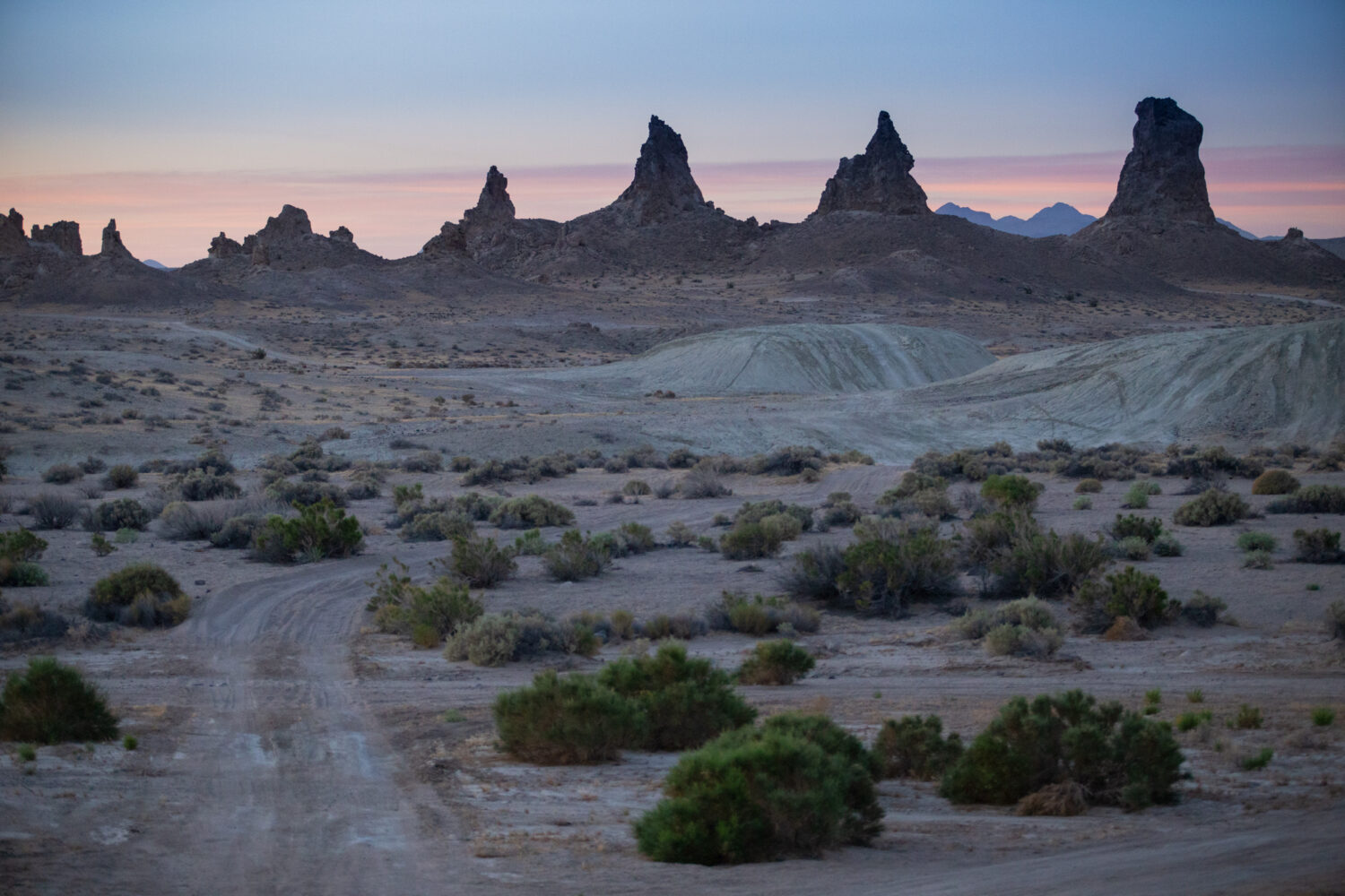
Trona Pinnacles is located on BLM-managed land. It’s free to stay here and the views are beautiful.
I’ve written about Trona Pinnacles previously (article here), but an article covering California 395 wouldn’t be complete without at least mentioning this unique geological oddity. It’s an ancient dry lake bed with scattered tufa towers on BLM land, and it’s a great place to spend a day driving the trails or even multiple days camping (for free) and enjoying the desert environment. This is not a summer destination; visit in the fall, winter, or spring.
Death Valley National Park (Close to California 395)
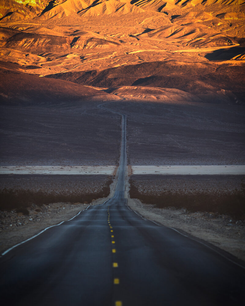
Looking down the road near Panamint Springs in Death Valley National Park.
I wish that I’d driven through this incredible desert landscape when I had my RV so that I could have stayed and checked out some of the more notable areas. But whether you just pass through or stay and explore, Death Valley is incredible, and you should make sure to bring your camera. Check out Chris Cordes’ article on this Death Valley overland route for some more ideas if you are planning to visit. I’d recommend visiting in the fall, winter, or spring.
Alabama Hills
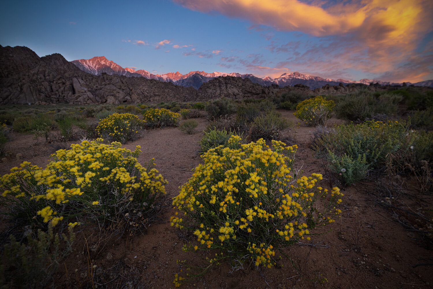
The Alabama Hills with Lone Pine Peak, Mount Whitney, and the Eastern Sierra Nevada range basked in alpenglow.
The Alabama Hills is just west of the sleepy town of Lone Pine, California, and immediately off California 395. This BLM-managed land is one of the most underappreciated resources for travelers in the United States because it is both beautiful and often an excellent free place to camp. The Alabama Hills is no exception, with unique granite domes and otherworldly rock formations that you can often camp right next to, all with unbeatable views of some of the highest peaks in the Eastern Sierra.
Whitney Portal & Mt.Whitney

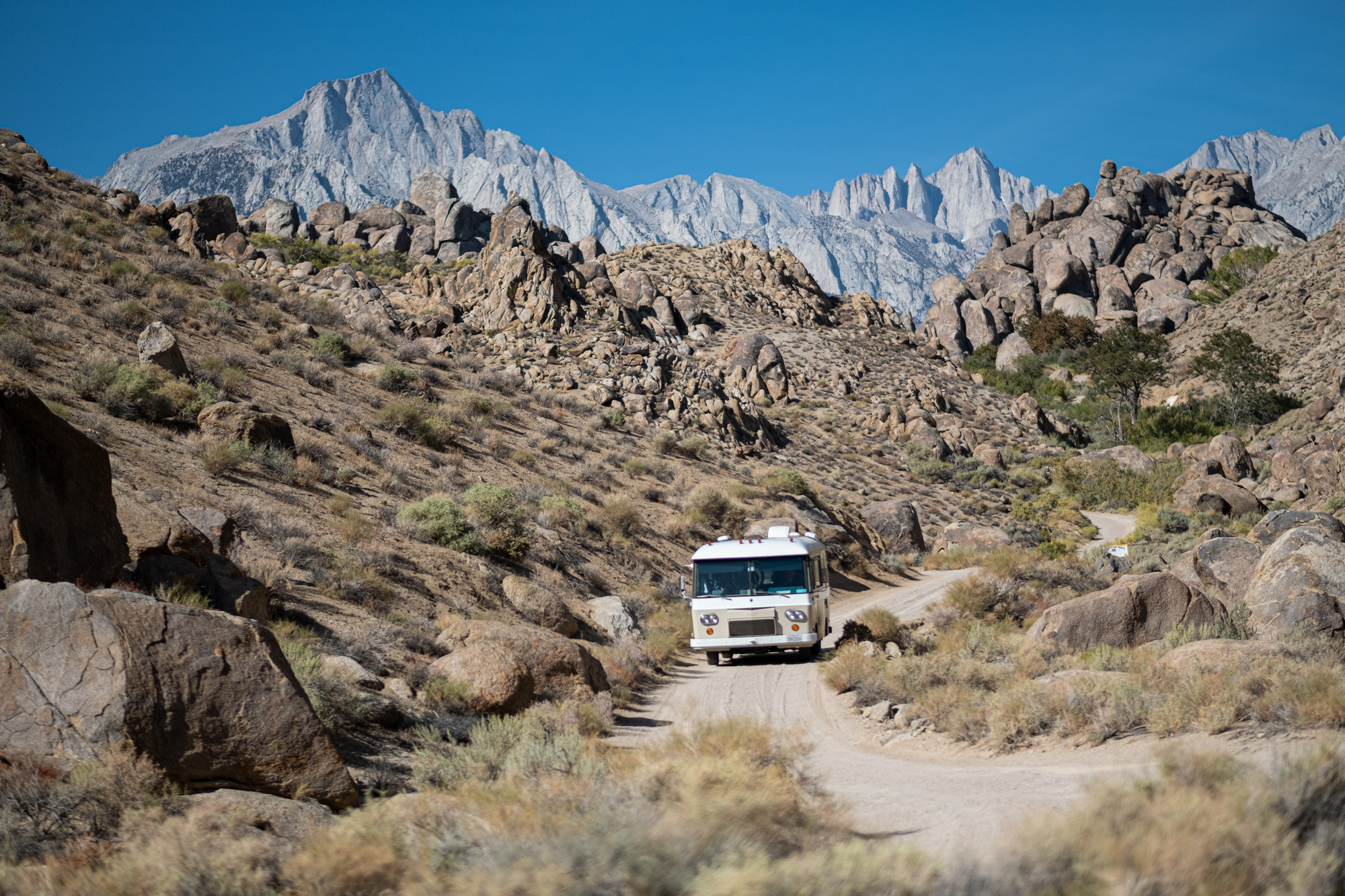
Left: Hiking near Whitney Portal – an easy place to get to, no 4WD required. Right: The highest peak in the lower 48 states, Mt. Whitney, can be seen top-right, with the three distinct buttresses.
Mount Whitney is the highest point in the Lower 48, and Whitney Portal is where you hop on the extremely challenging trail that climbs over 6,000 feet to its summit. Even if you don’t make the trek all the way to the top of the peak, Whitney Portal is a spectacular alpine setting, with soaring white granite walls, towering conifers, and a rushing creek. It’s a great place to escape the heat of the Owens Valley if you happen to visit in summer, and it has a paid campground if you want to stay for a while.
White Mountain & Bristlecone Pines (Close to California 395)
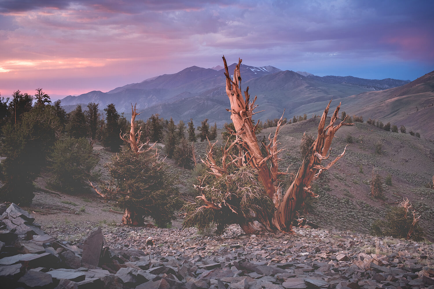
Great Basin Bristlecone Pines near White Mountain, on the Eastern side of the Owens Valley.
White Mountain is another 14,000-foot-tall peak in the area, and it can easily be seen across the Owens Valley from the town of Lone Pine. On the lower slopes of the surrounding mountains, near 11,000 feet, you’ll find Great Basin Bristlecone Pines, the oldest living organisms on planet Earth. Some of these trees are over 5,000 years old and still alive. This is a very delicate ecosystem, and these trees are protected federal resources. Respect them—don’t cut, break, or remove wood from them.
Volcanic Tables Lands/Buttermilks
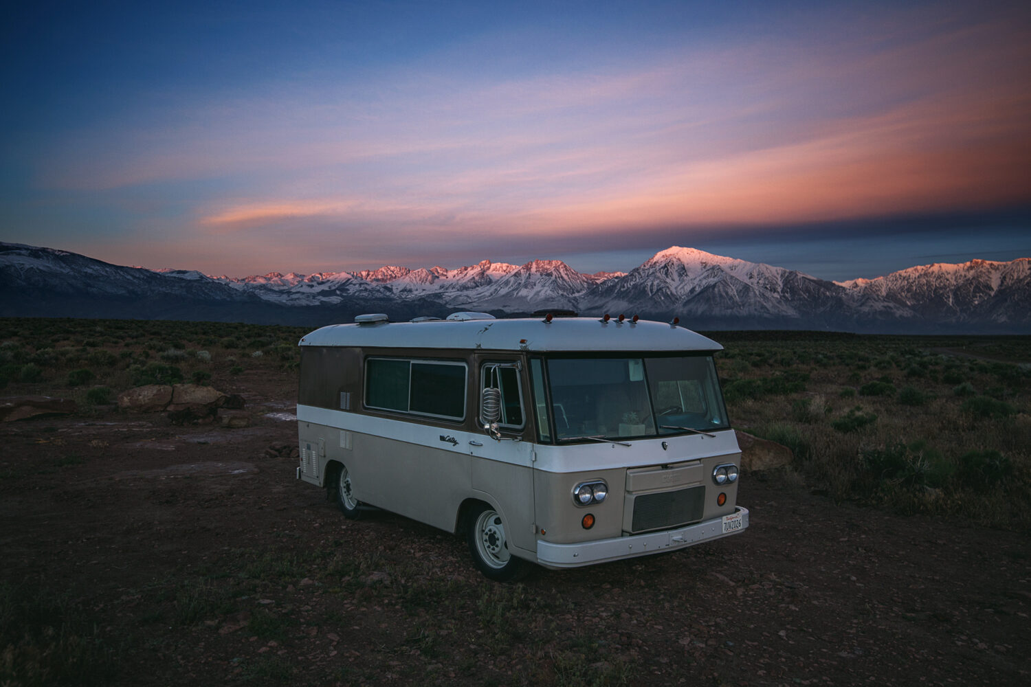
I can’t remember if this was a sunrise or sunset, but either way, the Volcanic Tablelands offer outstanding views at all times of the day.
Two more awesome BLM spots that offer excellent free camping and world-class bouldering (rock climbing without a rope) in an amazing desert setting are the Volcanic Tablelands and the Buttermilk boulders. These two destinations are very close to the town of Bishop, a great place to resupply, dump/fill your RV tanks, grab last-minute gear, or enjoy an espresso. Check out this article that covers the California section of the Pacific Crest overland route which passes by the town of Bishop.
Mammoth Area Hot Springs
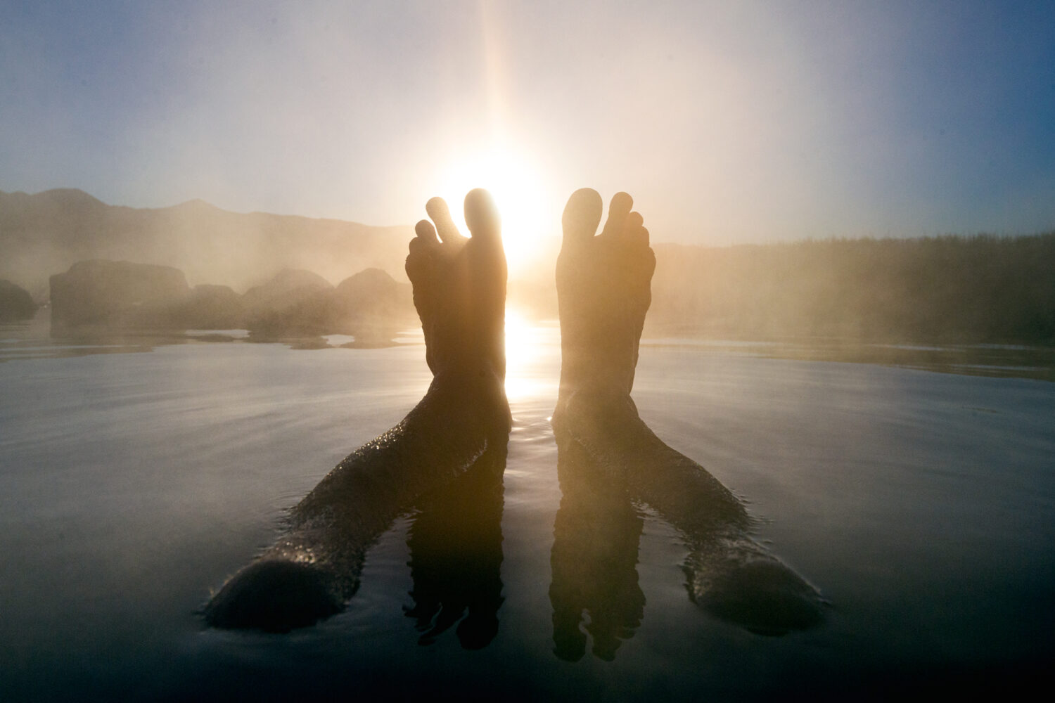
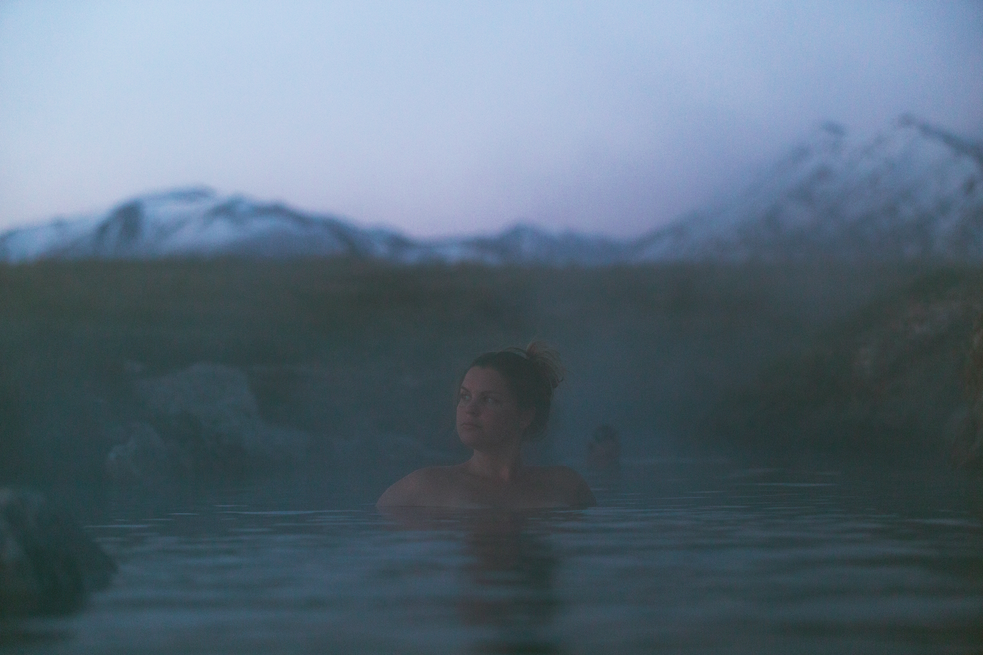
An early morning soak in Wild Willy’s hot springs. Excellent views and natural, healing waters.
The John Muir Trail
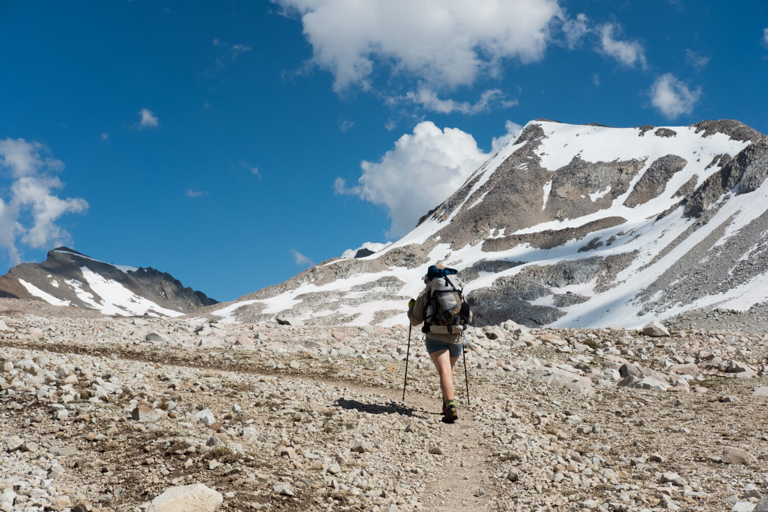
Much of the John Muir Trail traverses the high alpine terrain of the Eastern Sierra Nevada mountains.
King’s Canyon & Sequoia National Parks
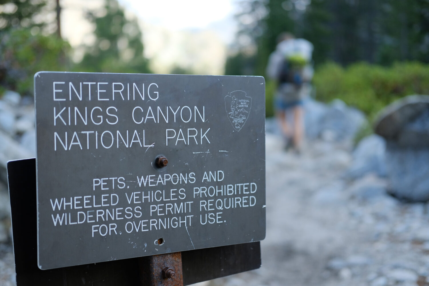
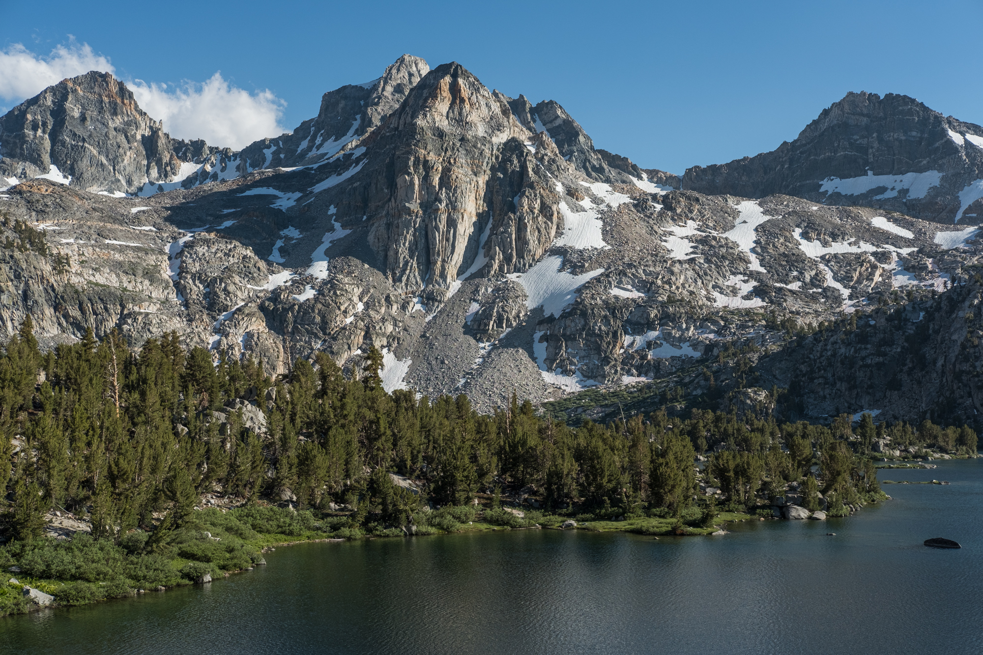
Left: Entering King’s Canyon National Park. Right: The Painted Lady, front and center.
Yosemite National Park
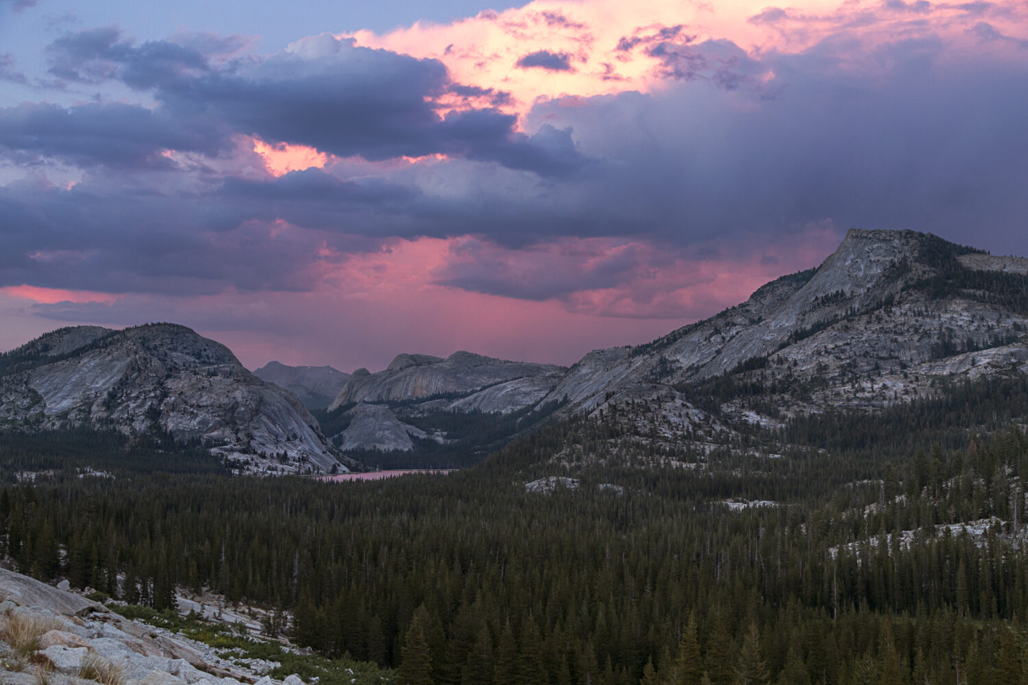
Expansive granite domes and a sunset with views of Tenaya peak (right side of frame).
The Ghost town of Bodie, California
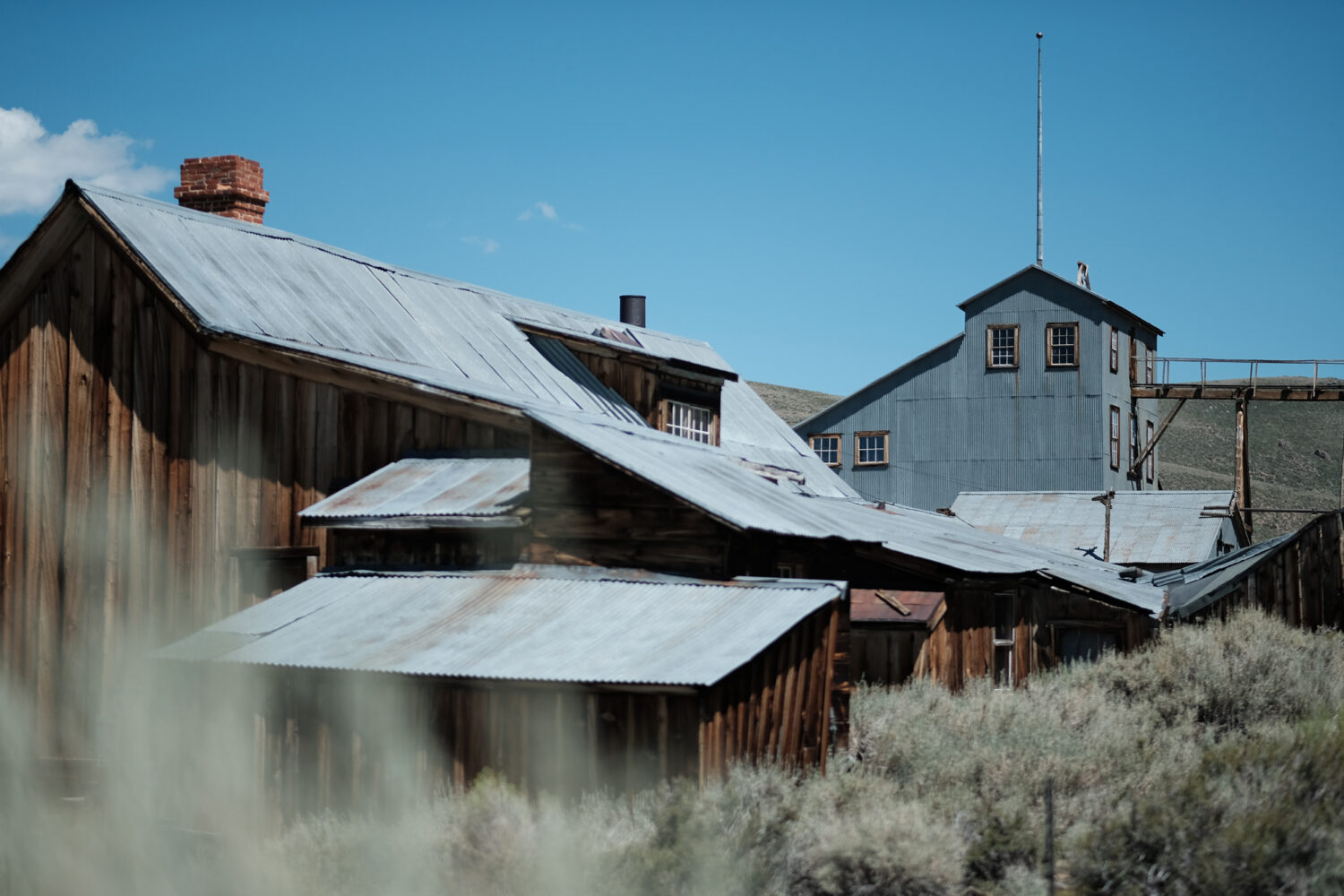

The ghost town of Bodie, California has over 100 structures that are still standing.


