“Give it another crank!” he yelled pulling the remaining piece of the exhaust from the bike. The other man pressed the starter once more causing water to spew from the pipe, this time accompanied by a loud clacking. Not good. We had been here almost an hour, and it seemed this dual sport was about as close to starting as when we’d fished it from the river. Not that we were surprised by that fact. The owner had entered the crossing with far too much gusto, and after bouncing off his seat like a cowboy atop a bull, found himself and the bike plunging beneath the current in a spray of water and flailing limbs. The display was almost as impressive as it was painful to watch, and afterwards we felt somewhat obligated to help the poor guy out. Unfortunately the submersion had flooded every nook and cranny of the motorcycle, and with his battery running low and the sun quickly setting there was little we could do. With one last longing look at his bike he agreed to ride into town, and we tucked his broken steed beneath a tree for rescue on another day.
Earlier this year Hema Maps set out to complete a four-wheel drive route following the Continental Divide. It would be tackled in several pieces over the course of nearly six months, and thanks to a little luck I had landed the section in Southern Colorado. The plan was simple. Complete this small portion of the journey as quickly and thoroughly as possible, which in the end would take a little over three days. Yes I know, that is not 36 hours, but I hope you can forgive my choice of title in exchange for this mini-adventure told through photos and captions.
We began on a sunny June afternoon, cruising up New Mexico’s plains towards the distant mountains.
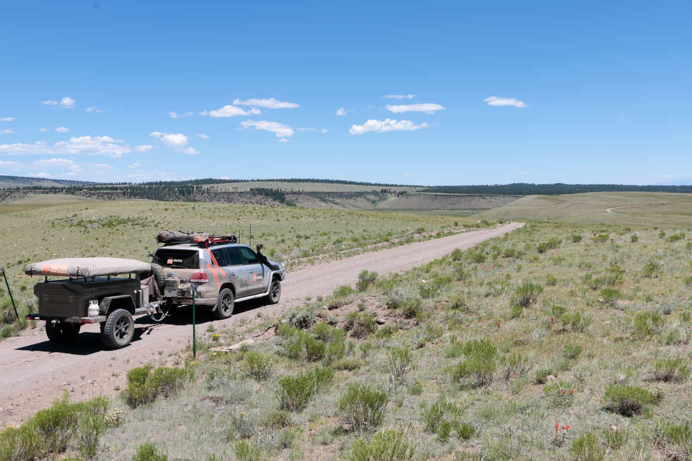

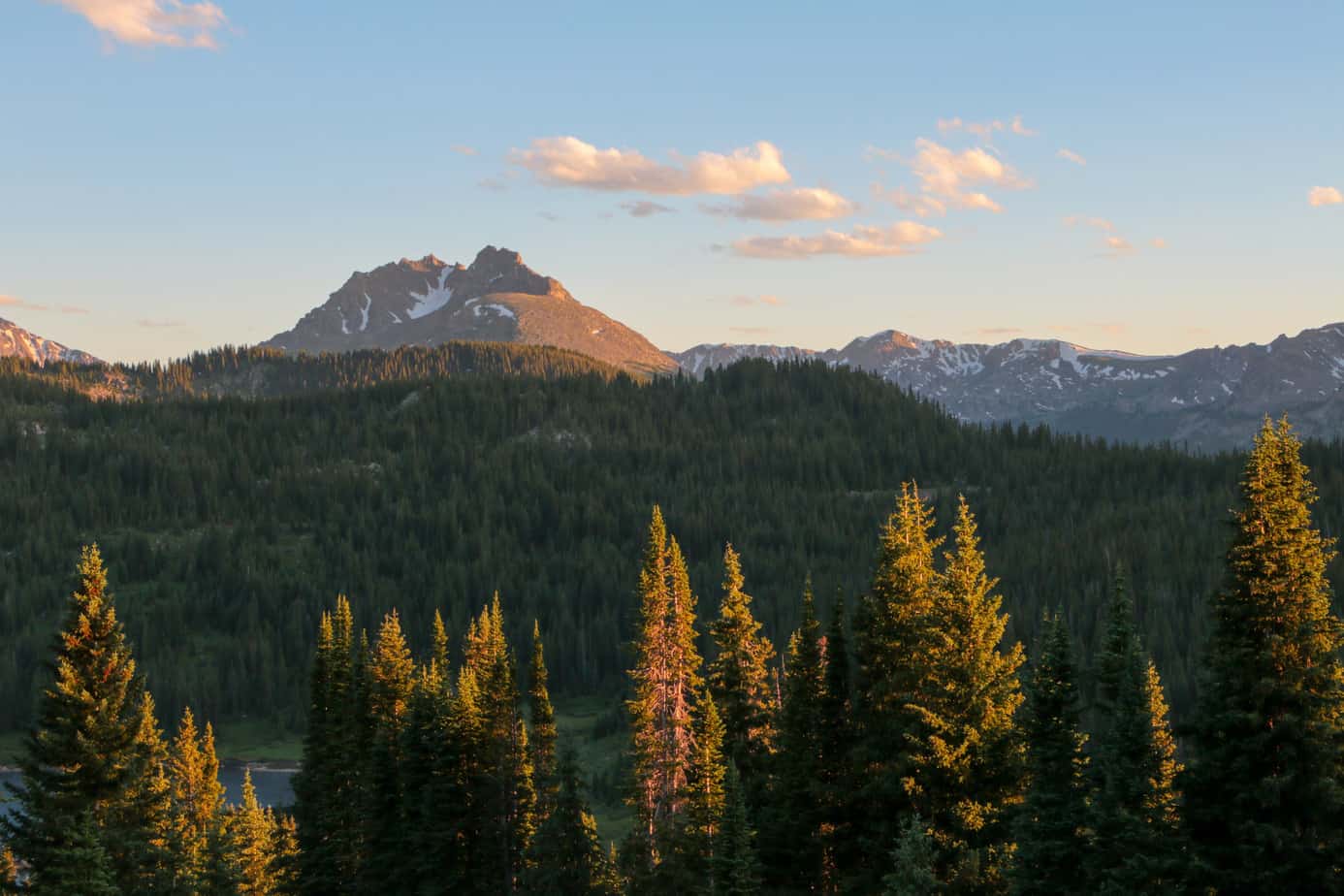
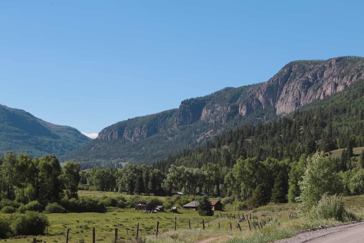
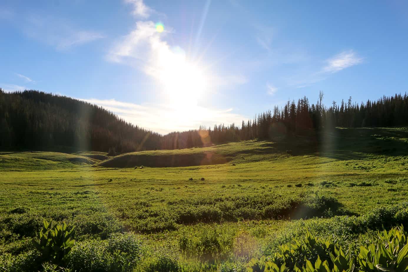
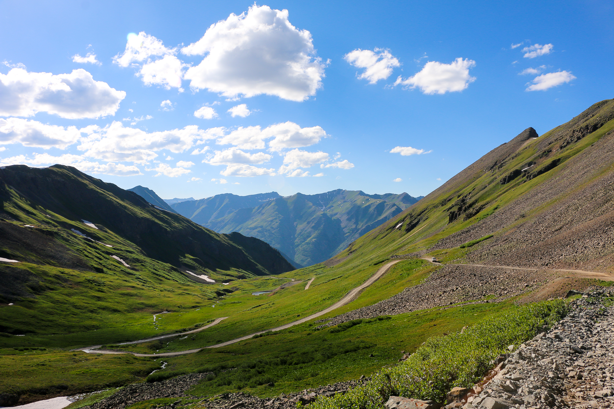
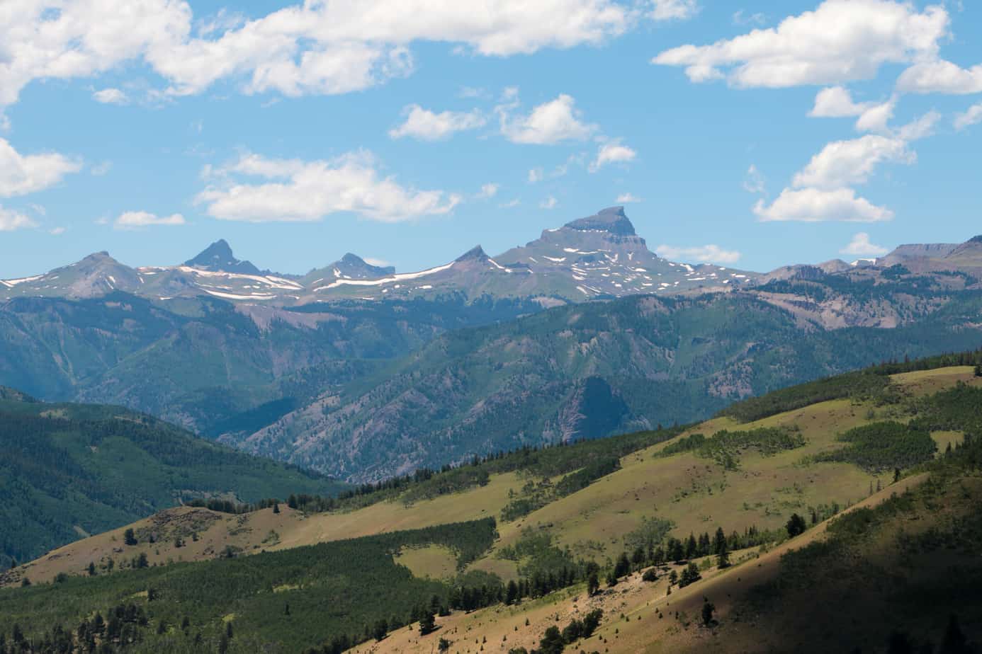
The shift from faded grasslands to green hillsides began slowly, but as we moved into the state of Colorado things quickly exploded into life. Grasses and trees seemed greener, flowers were blooming, and the roads began to wind and curve instead of staying straight for miles at a time.
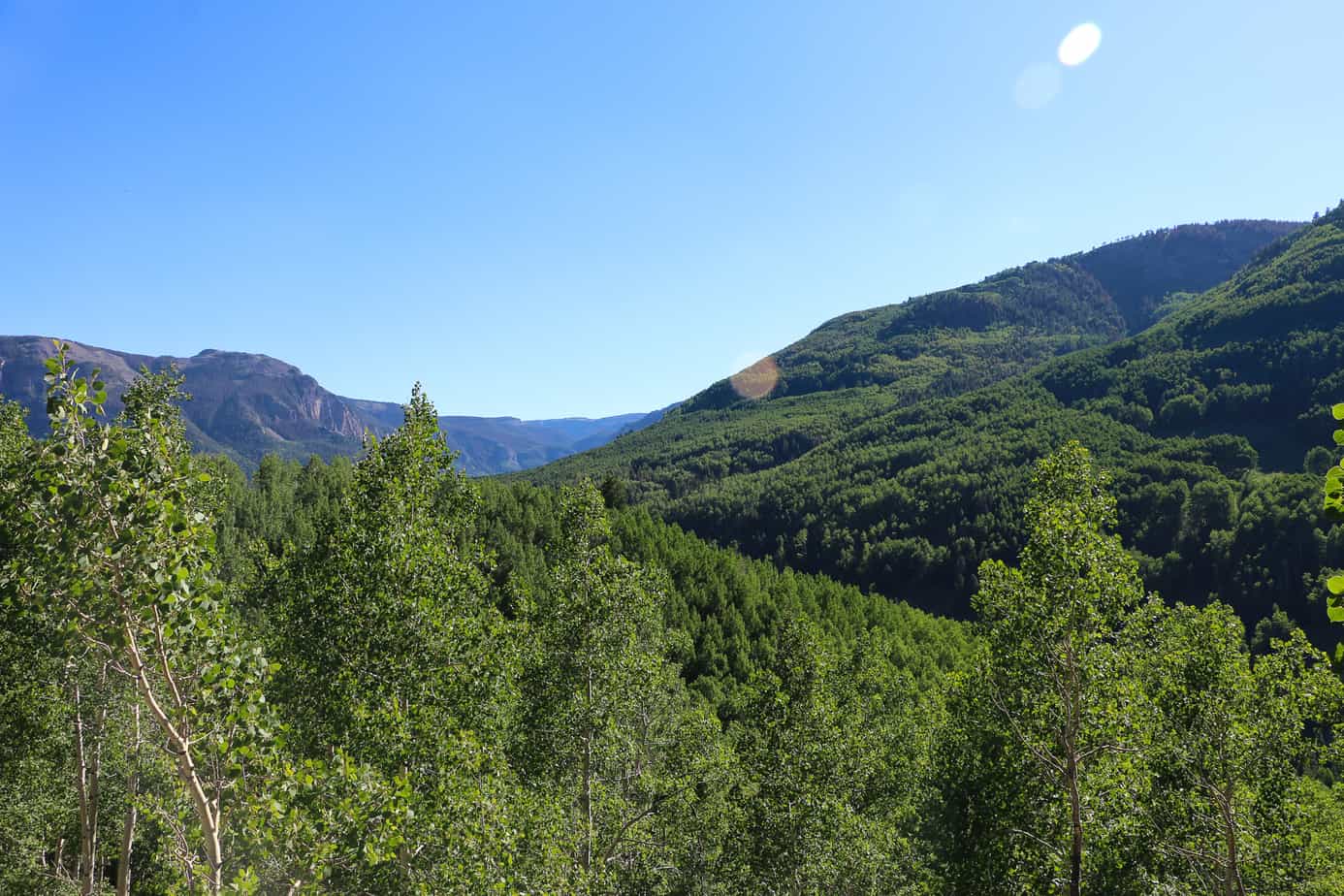
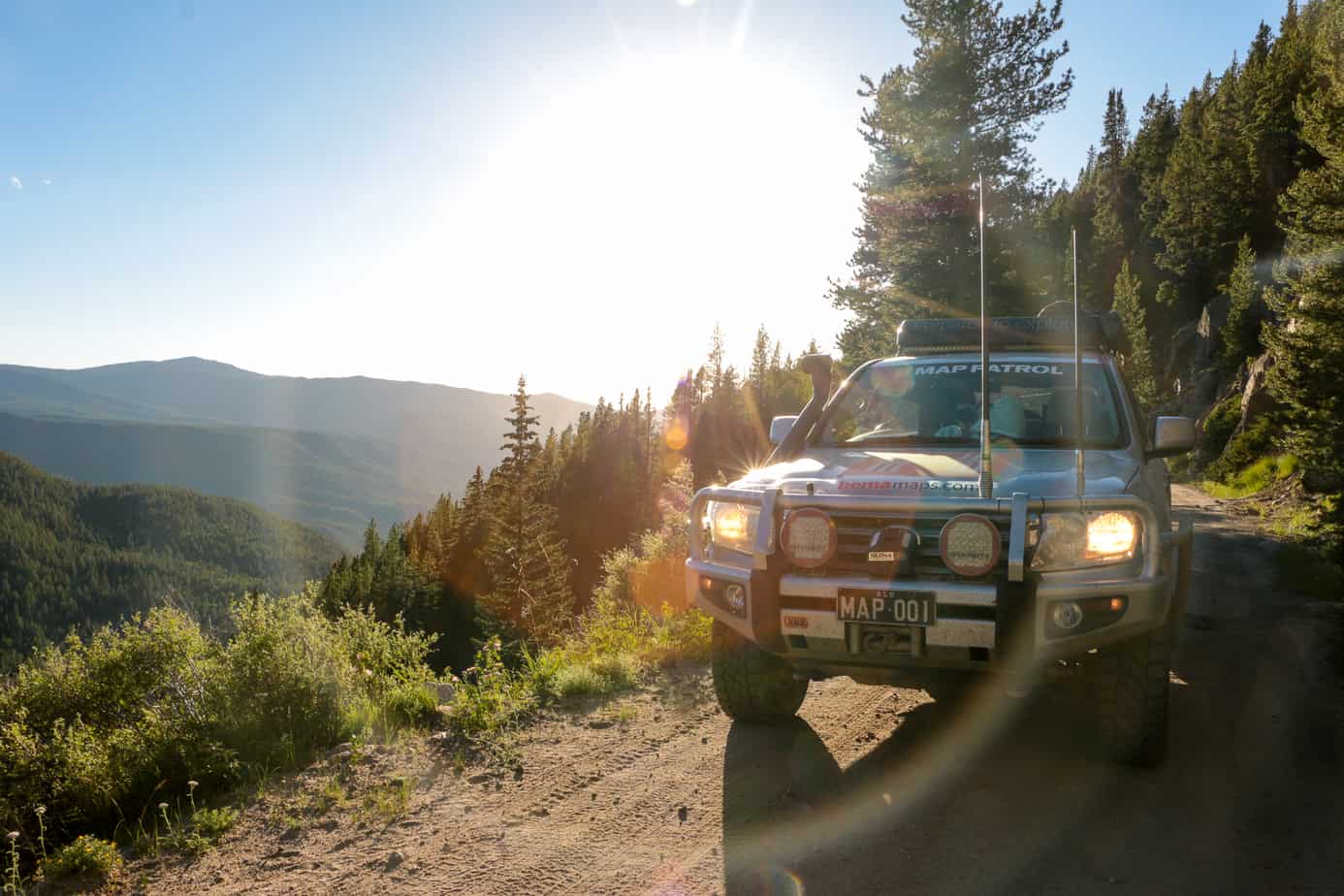
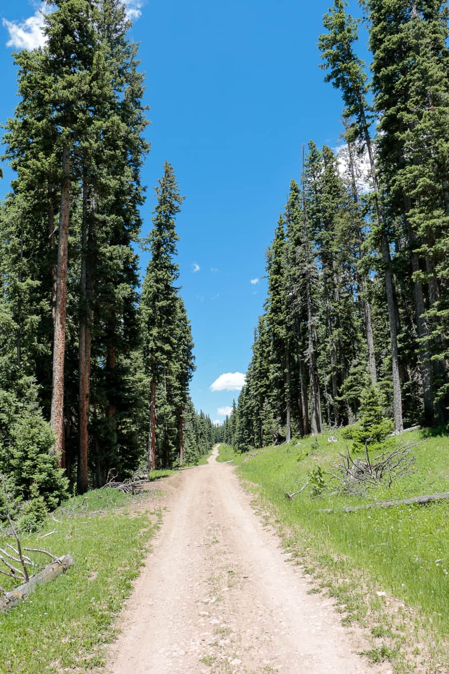
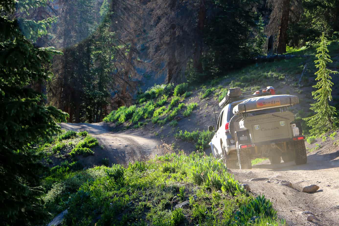
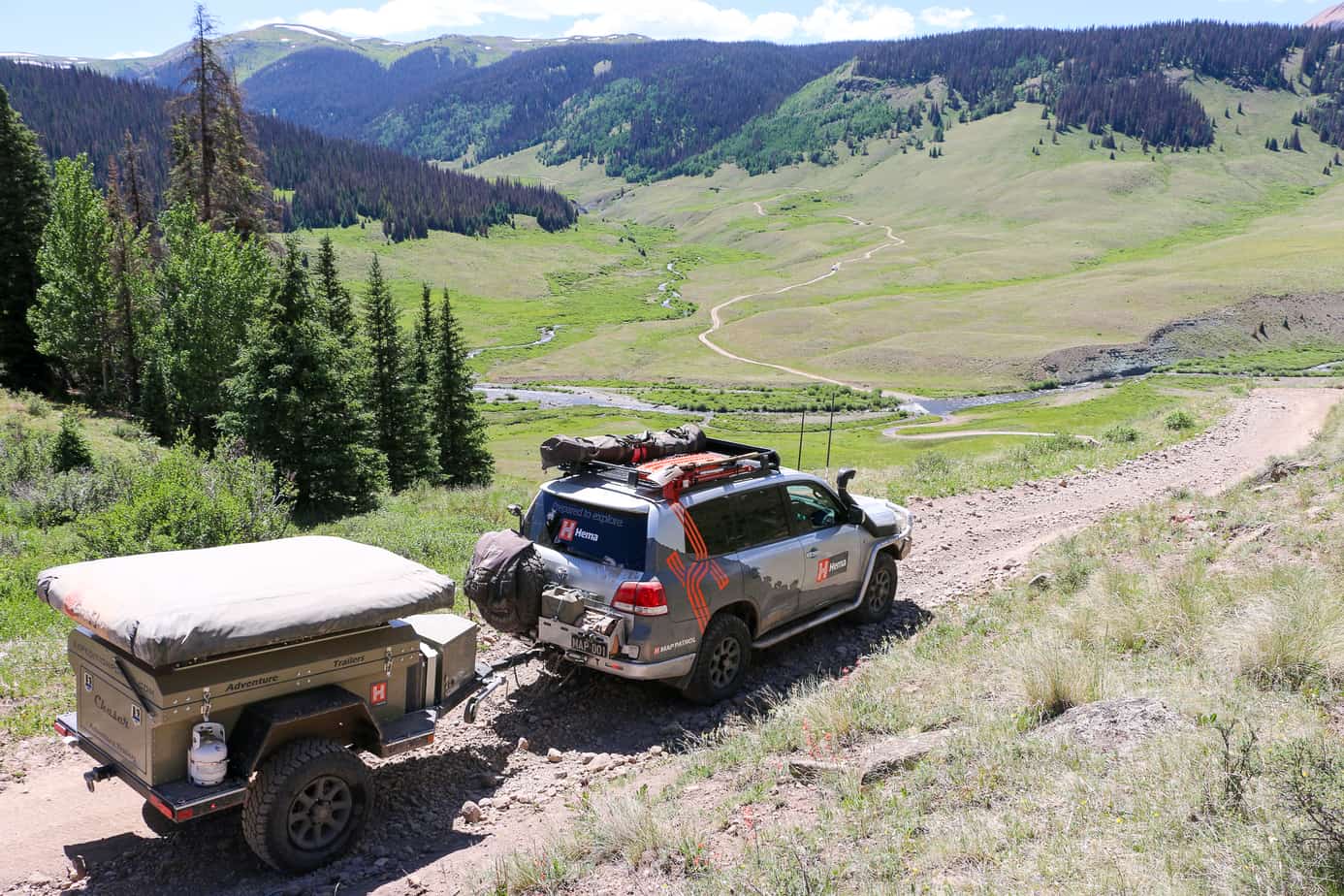
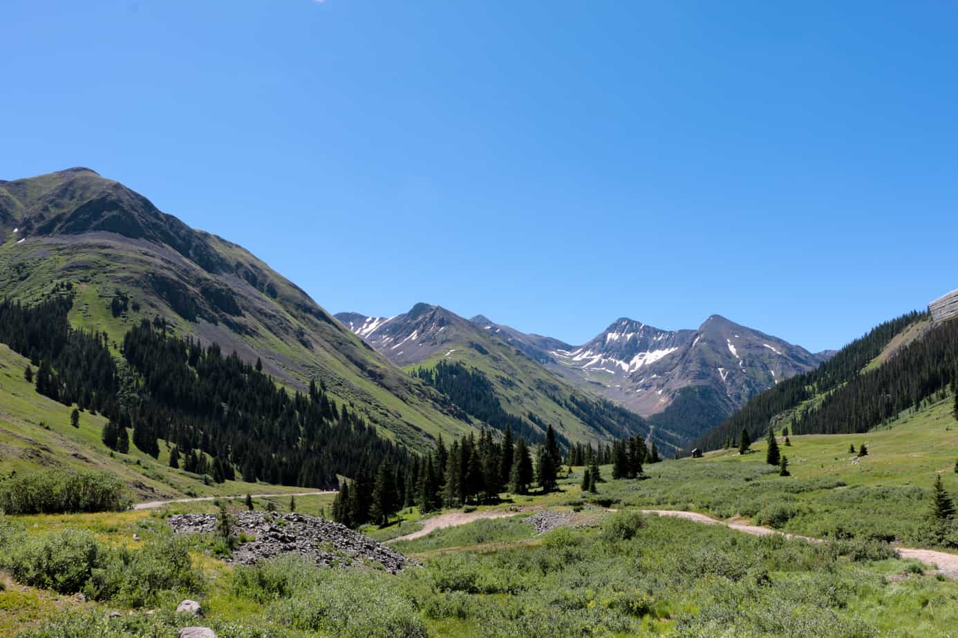
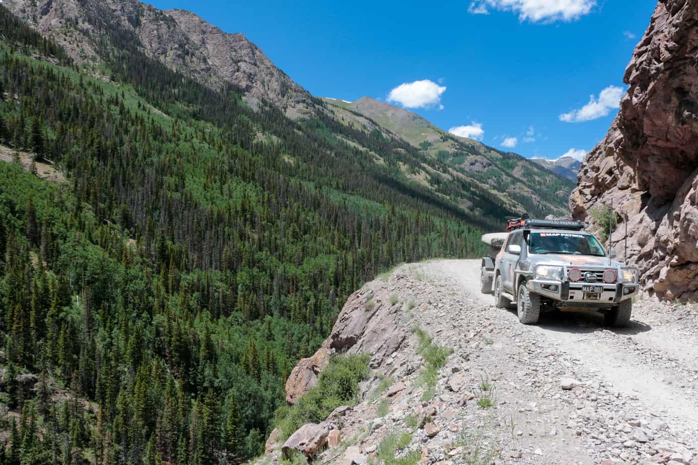
As the light began to fade on our first day, we found ourselves getting into more interesting terrain. The trail turned and dipped more often, and obstacles like rocks and ledges began popping up unexpectedly. It wasn’t quick driving, but it was fun and occasionally challenging.

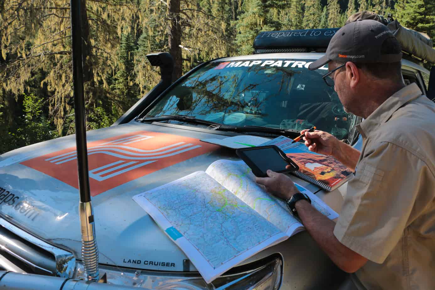
Every morning consisted of coffee, checklists, and maps. On this occasion, Sam Hayward is pouring over the day’s route to make sure we hit all the points of interest.
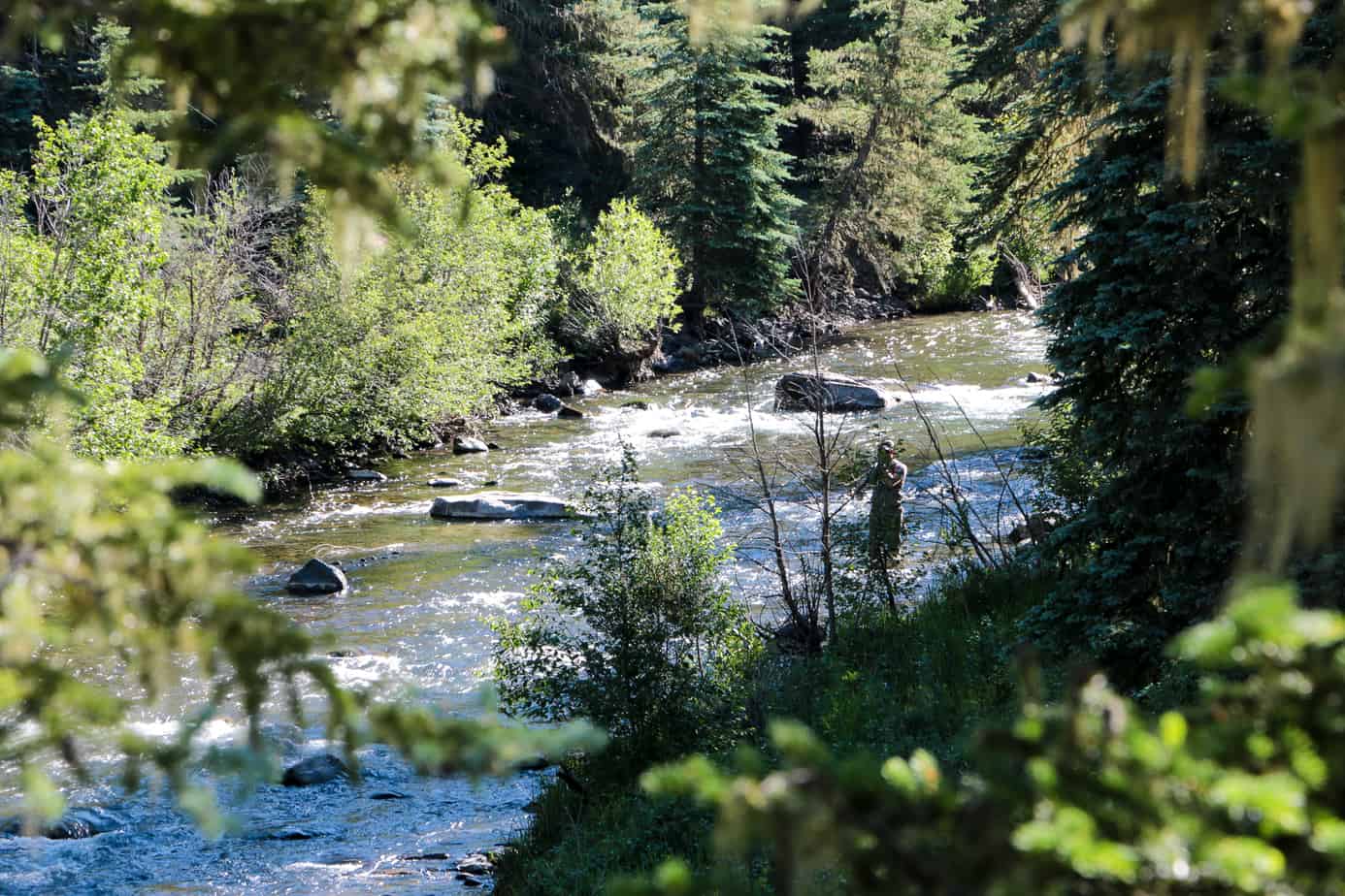
A fly-fisherman we spotted from our camp on the stream.
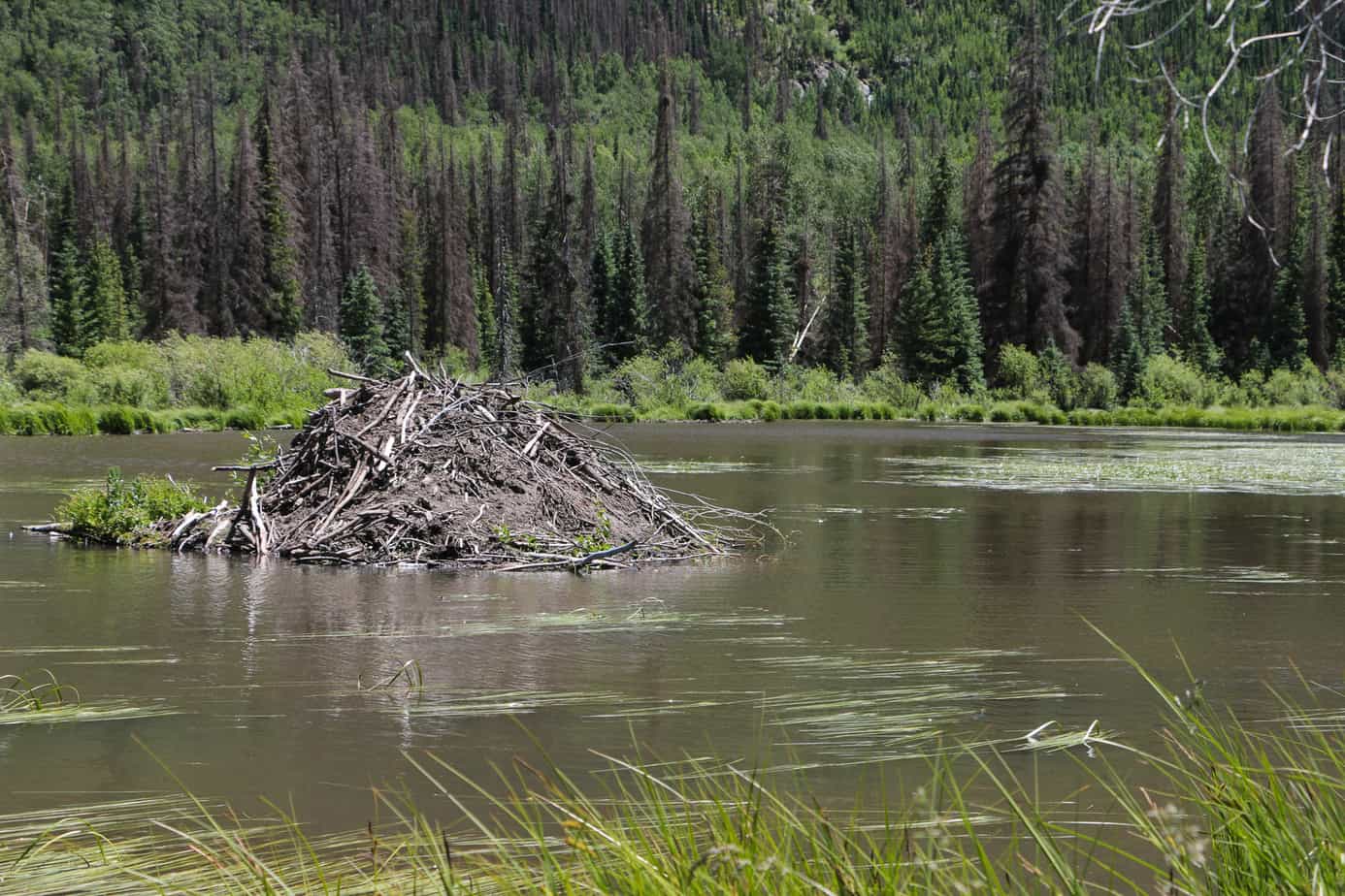
Beavers are an industrious species, and we continually spotted their dams throughout the trip. After passing our first ten or twenty, we stumbled upon one of their luxury abodes in the center of a pond.
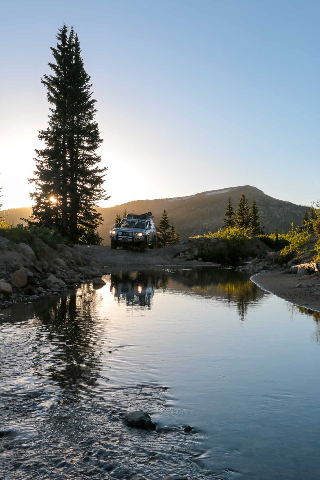
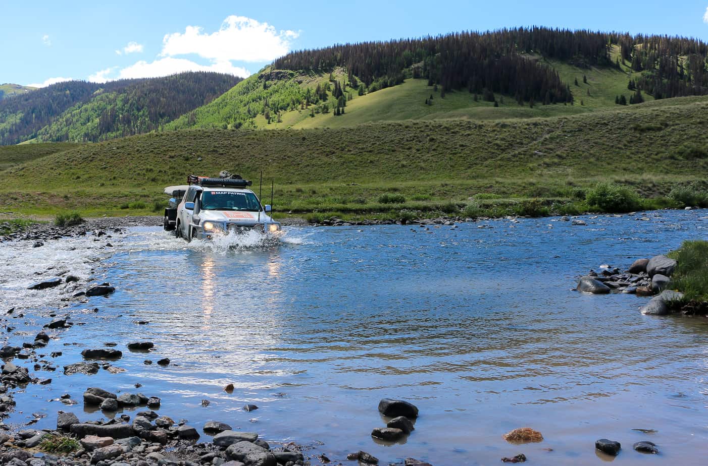
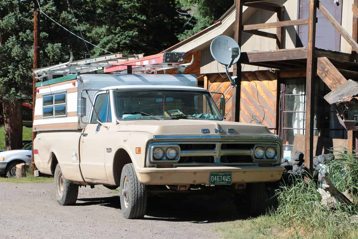
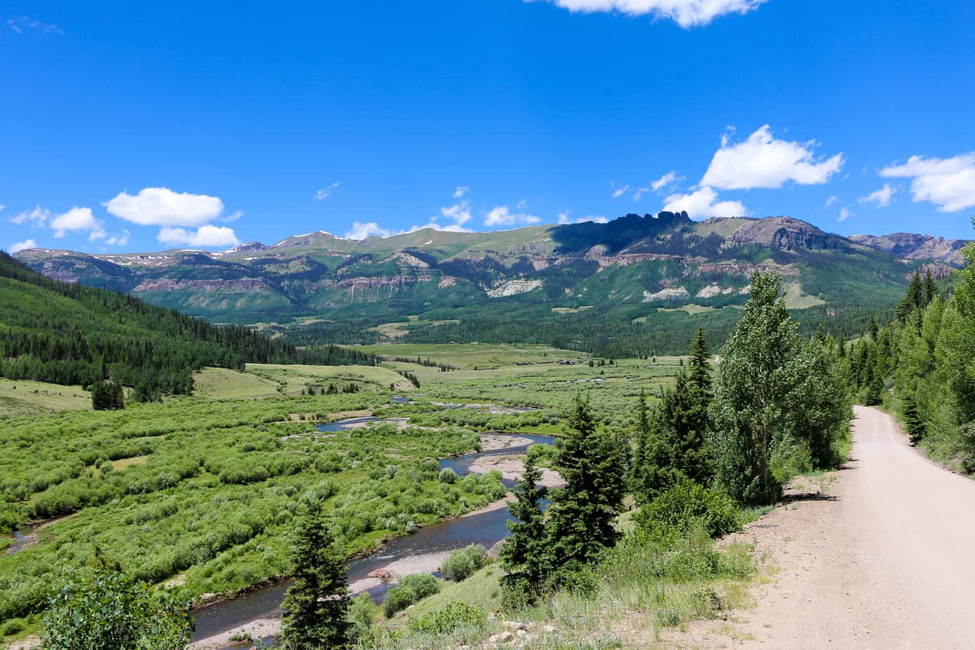
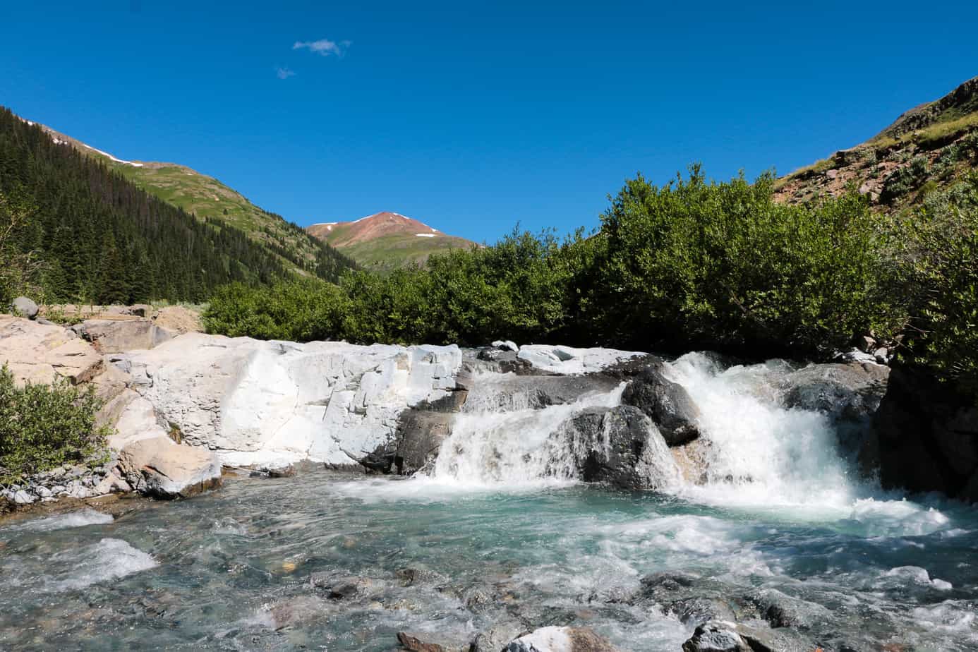
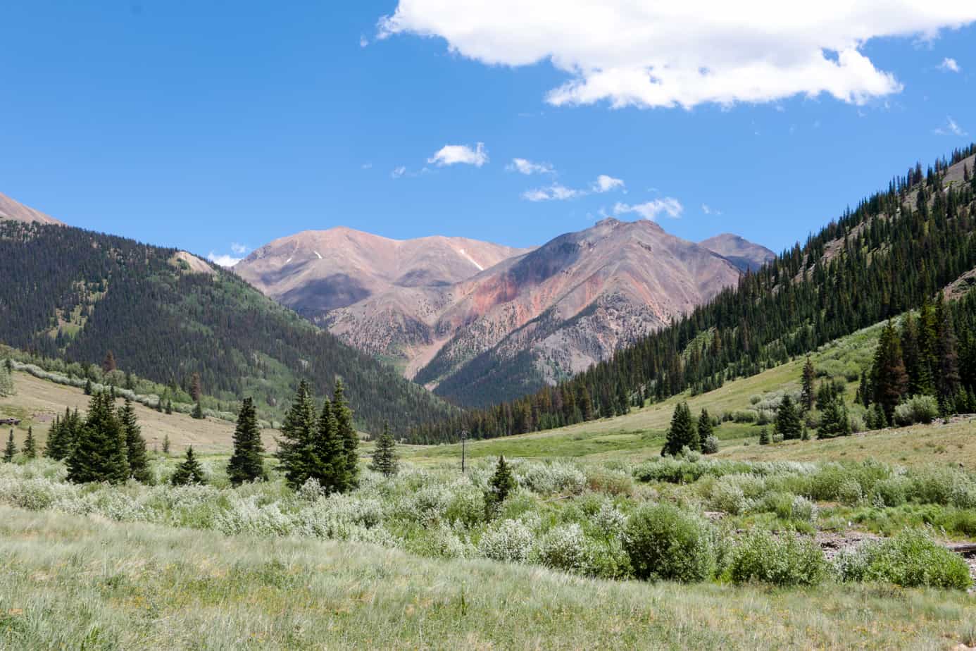
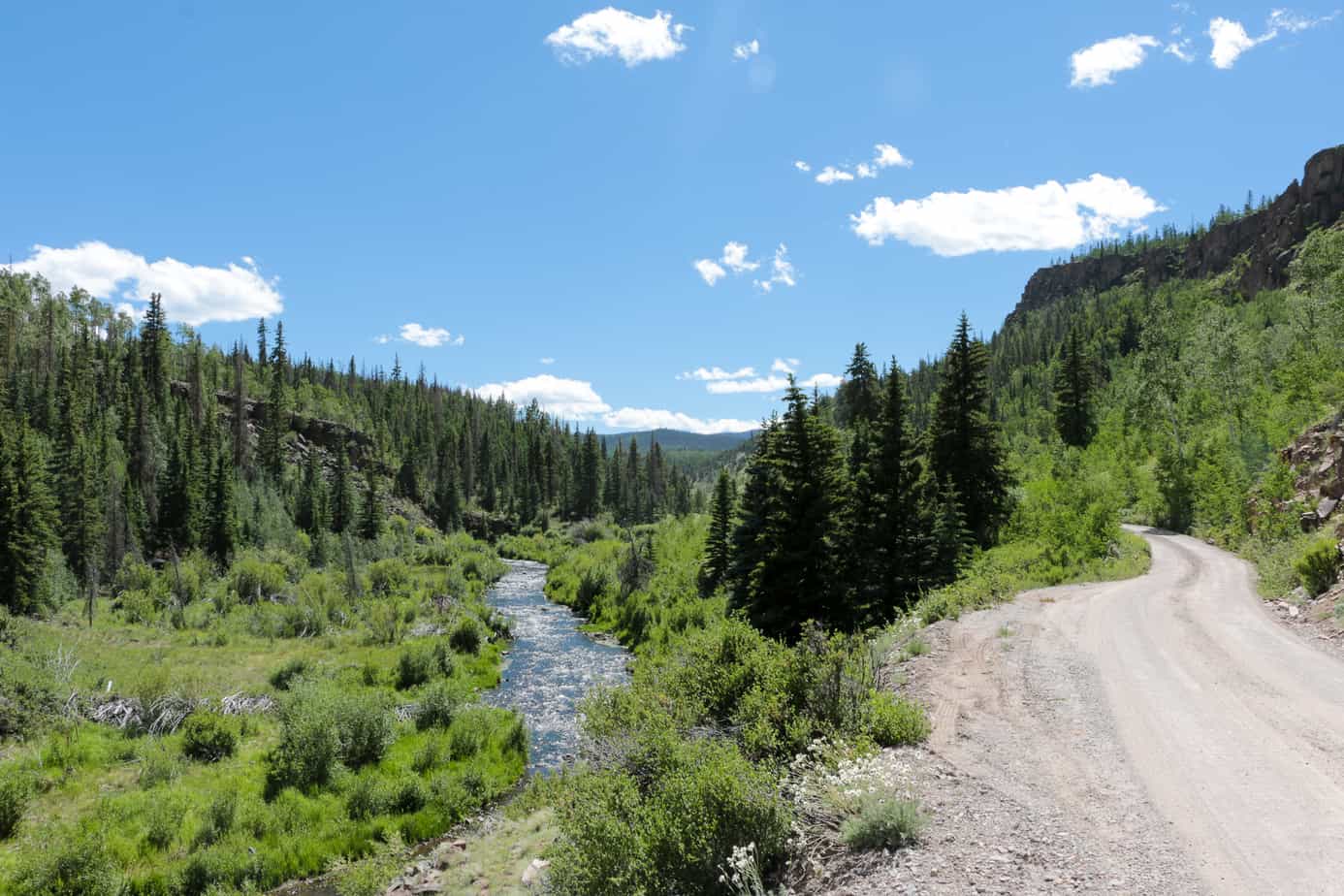
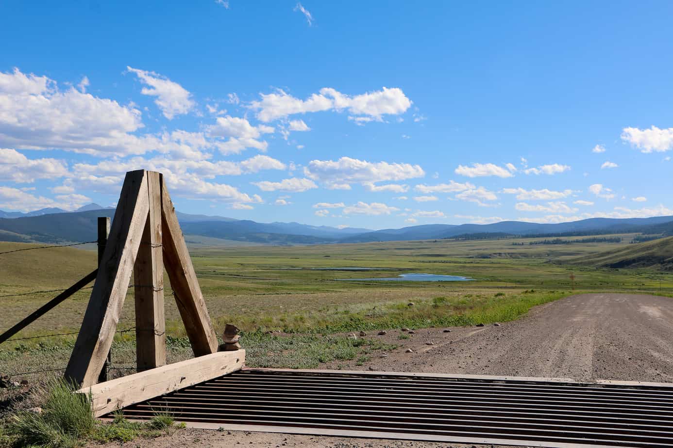
The creek winding its way through the valley below is where our friend’s unfortunate motorcycle met its fate. The scenery was beautiful, but the crossing was treacherous thanks to hidden boulders and a strong current.

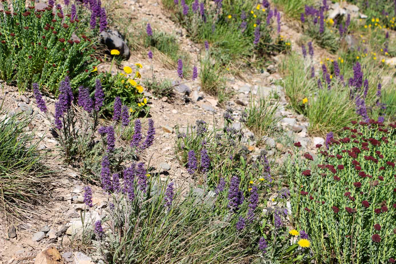
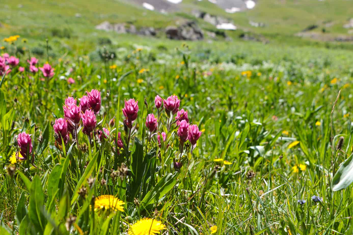
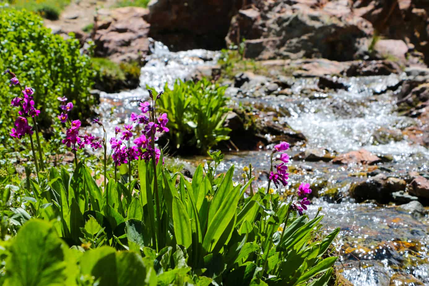
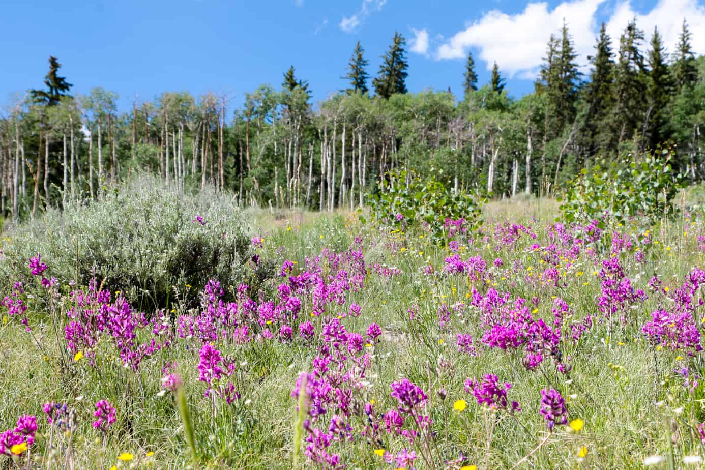
Alpine flowers were in bloom all over the mountains, and we made it a point to stop and enjoy them whenever possible.
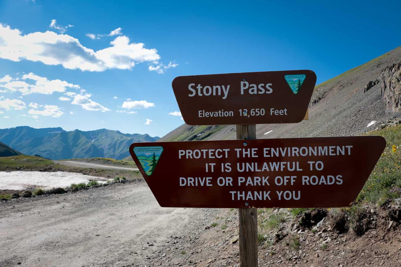
We arrived at our camp in Silverton after dark, but we made sure to drag ourselves out of bed and pass through town around eight. We had to cover about a third of the Alpine Loop that day, and I didn’t want to run into a traffic jam of four-wheel drive tourists.
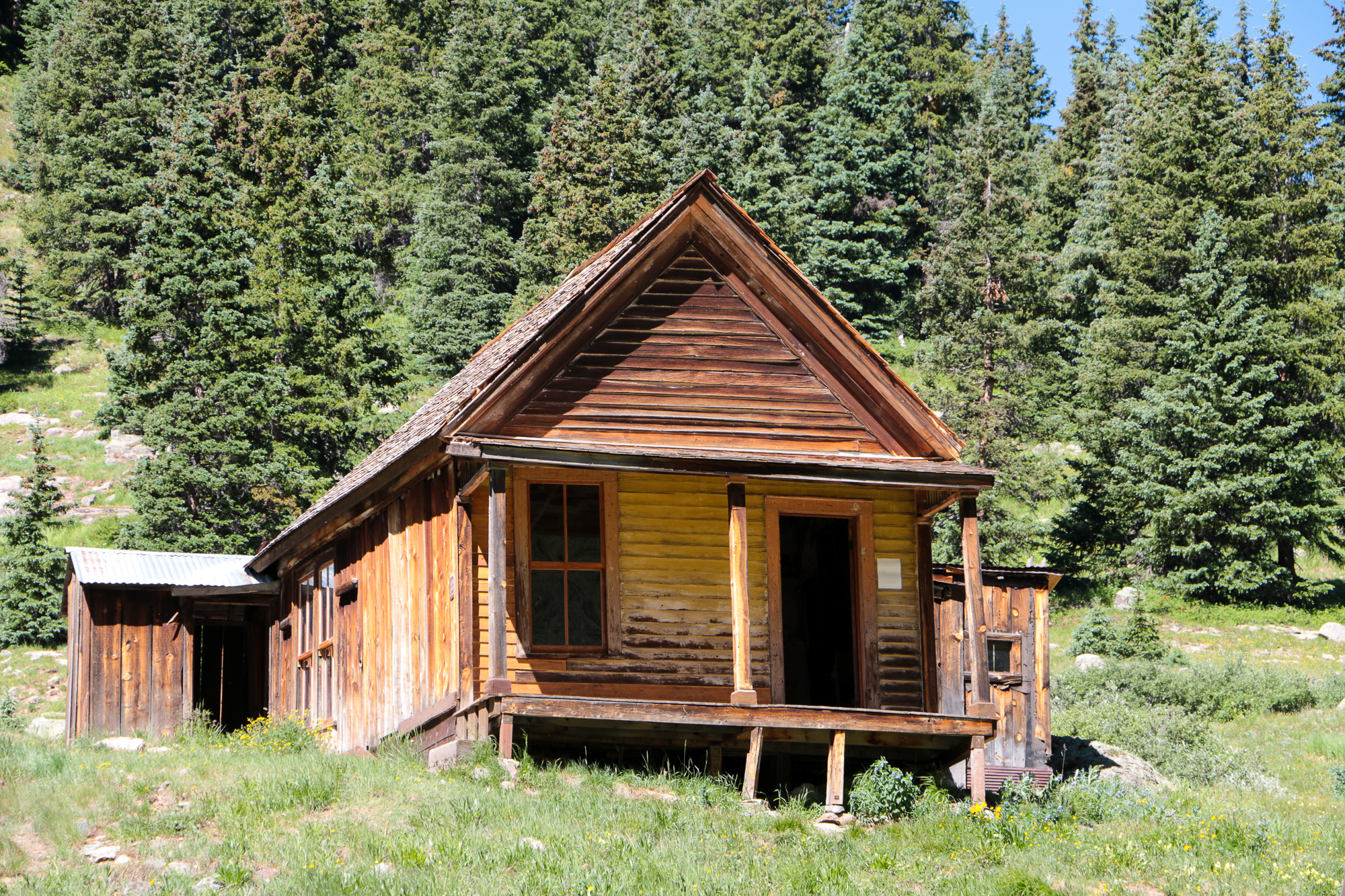
The ghost town of Animas Forks is always an interesting stop, but it’s rare to experience the wreckage alone. Luck was on our side however, and we had the main home to ourselves for nearly ten minutes.

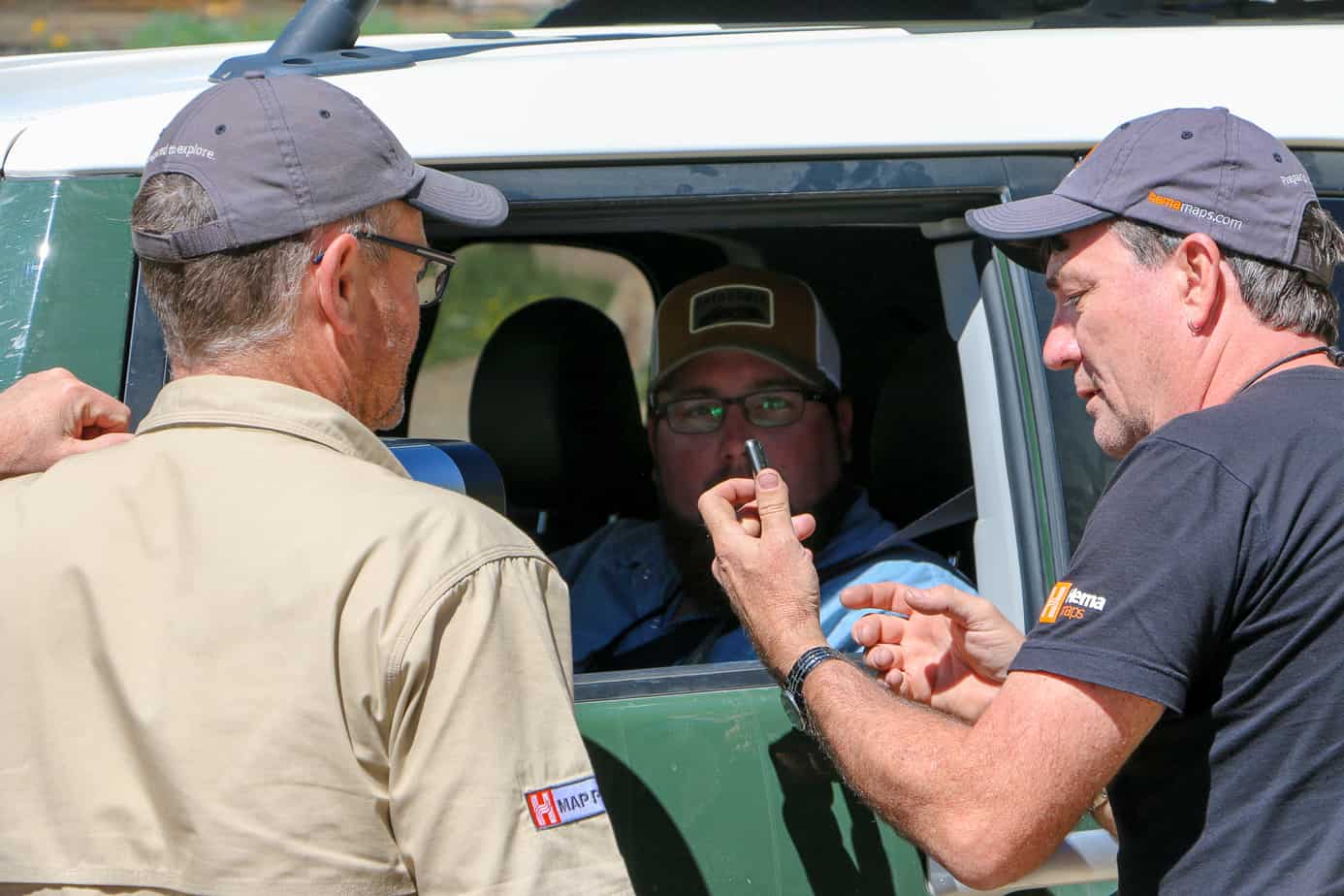
This gentleman stopped by to introduce himself and ask questions about the Hema Explorer App in North America. Robert happily helped him out with all the details of the tool, while I did my best to fill in the gaps on Expedition Portal and Expedition Overland.
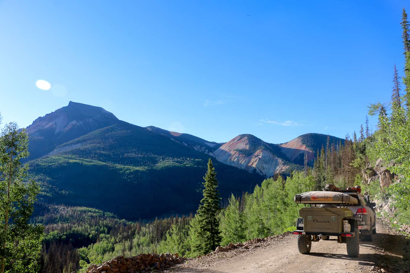
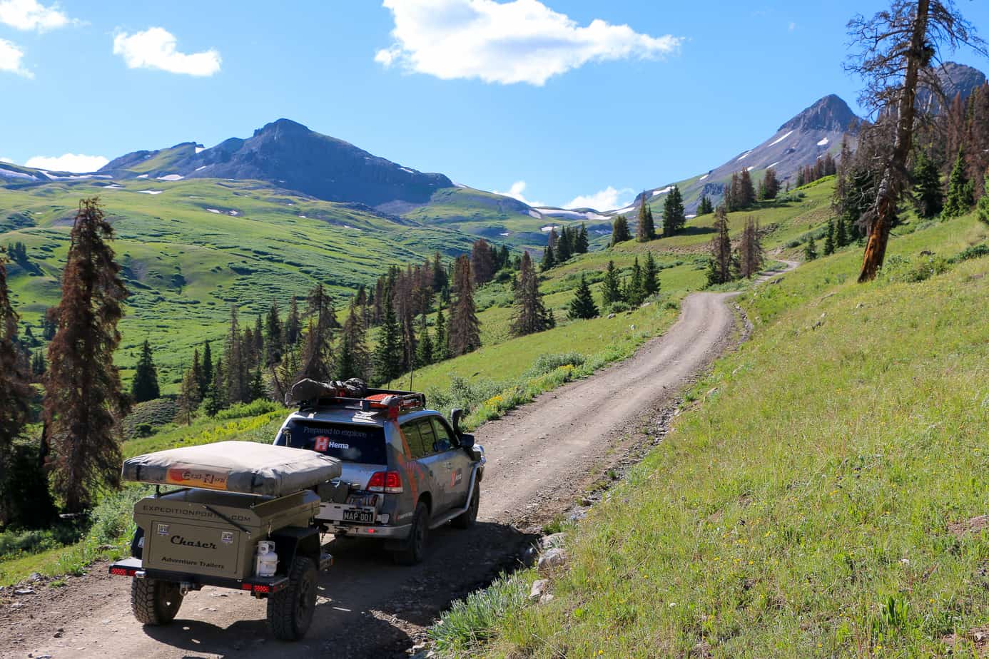
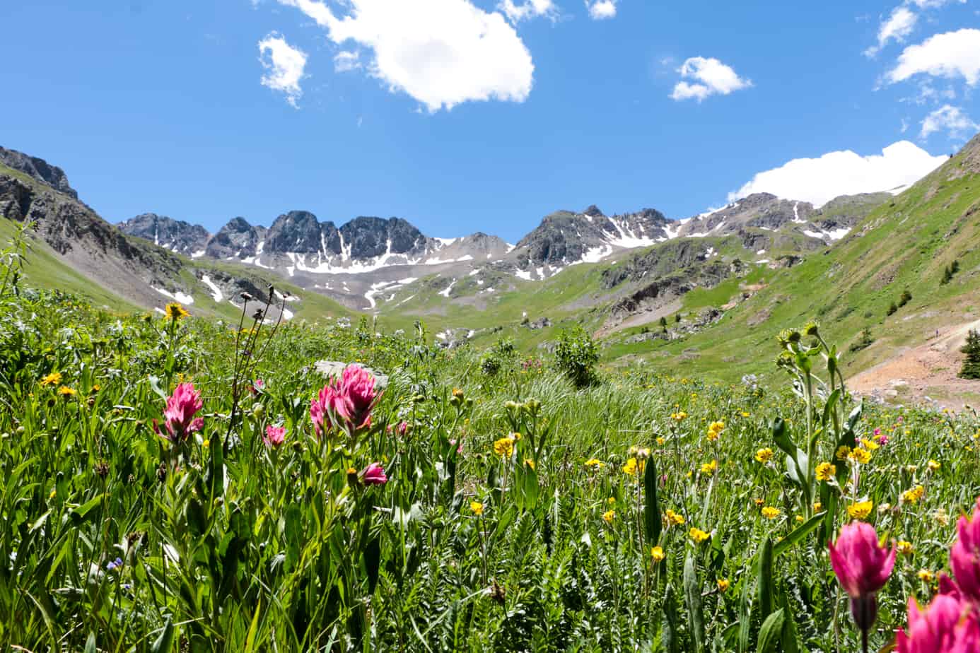
The views from Cinammon pass are amazing, but the flowers and peaks of American Basin are still higher on my list of inspiring places.
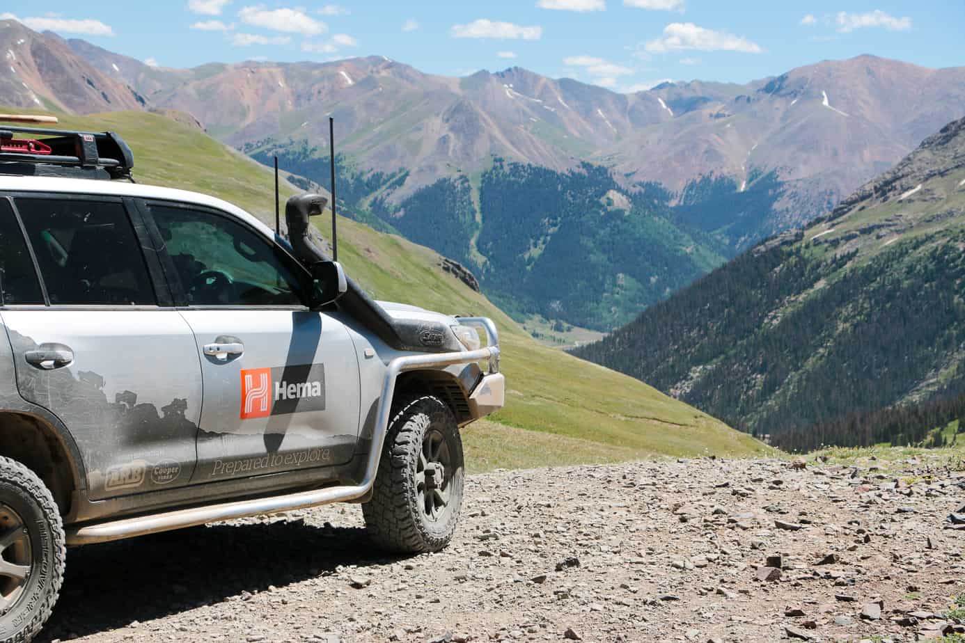


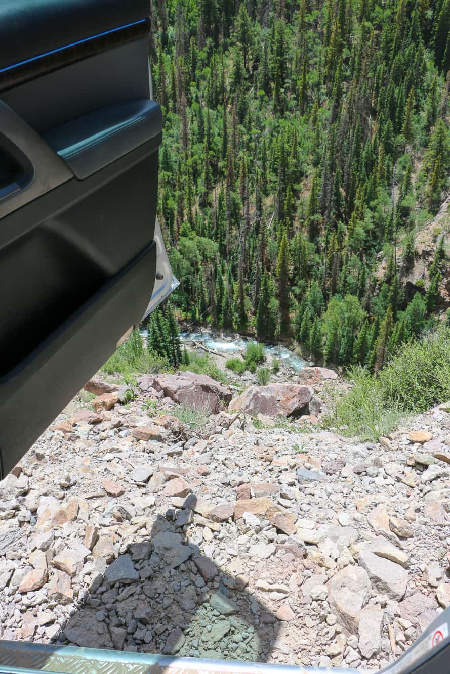
This was a fairly narrow pass for the 200 series, but it had a great view when I opened the driver’s door for a photo…
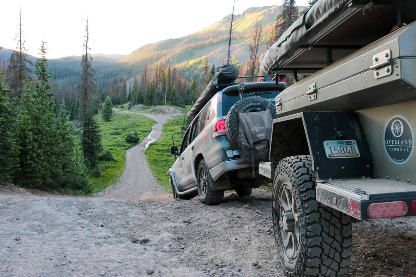
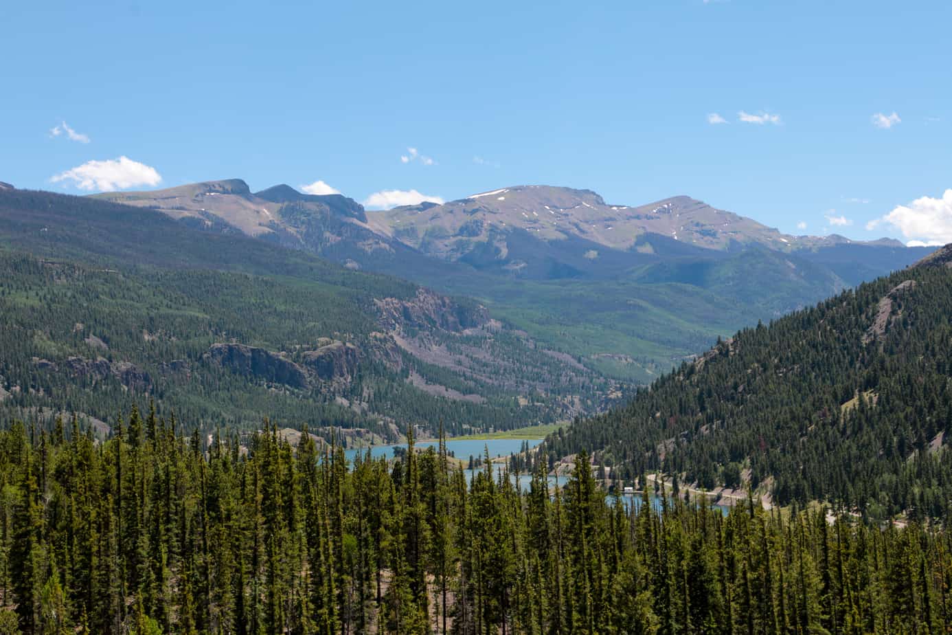
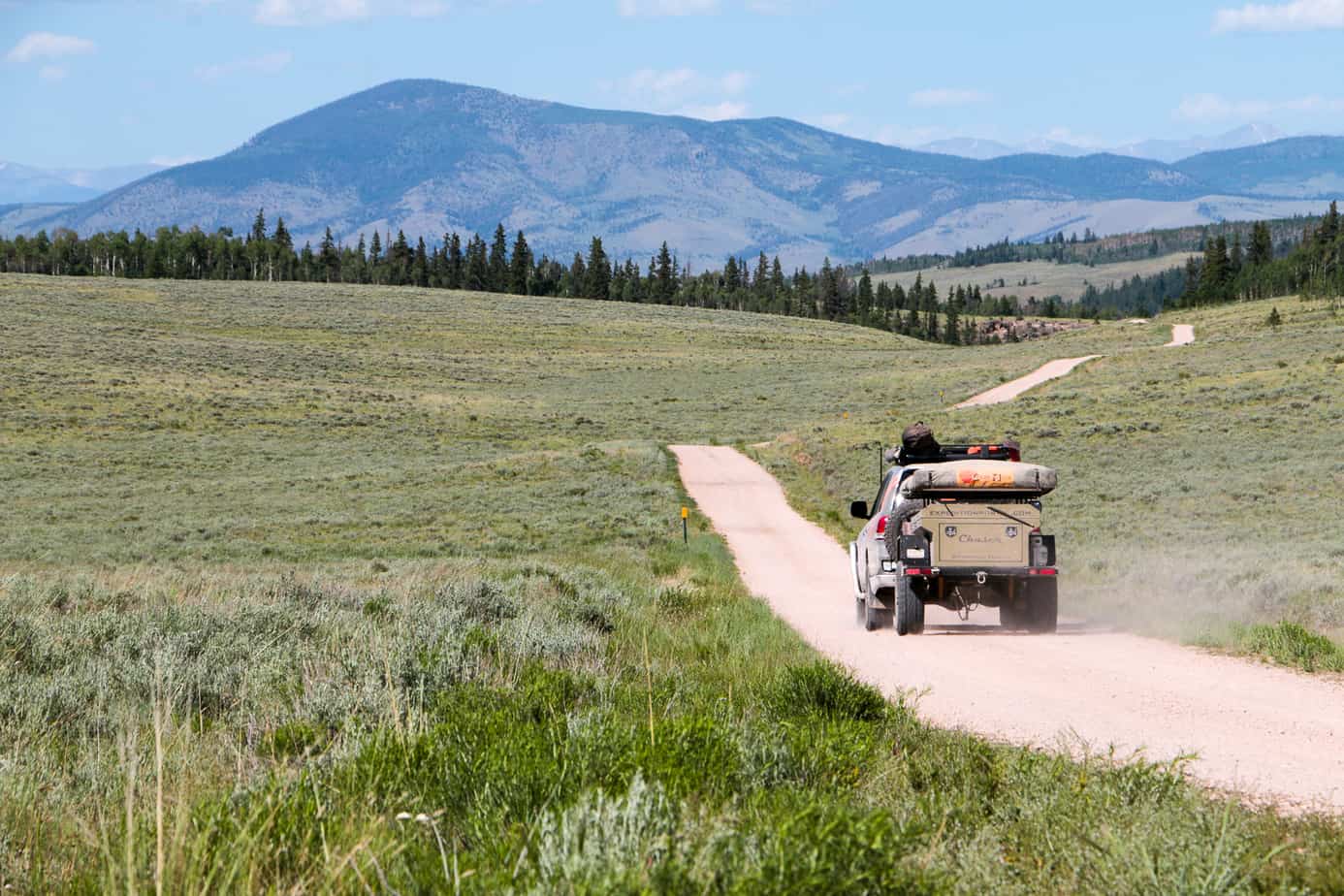
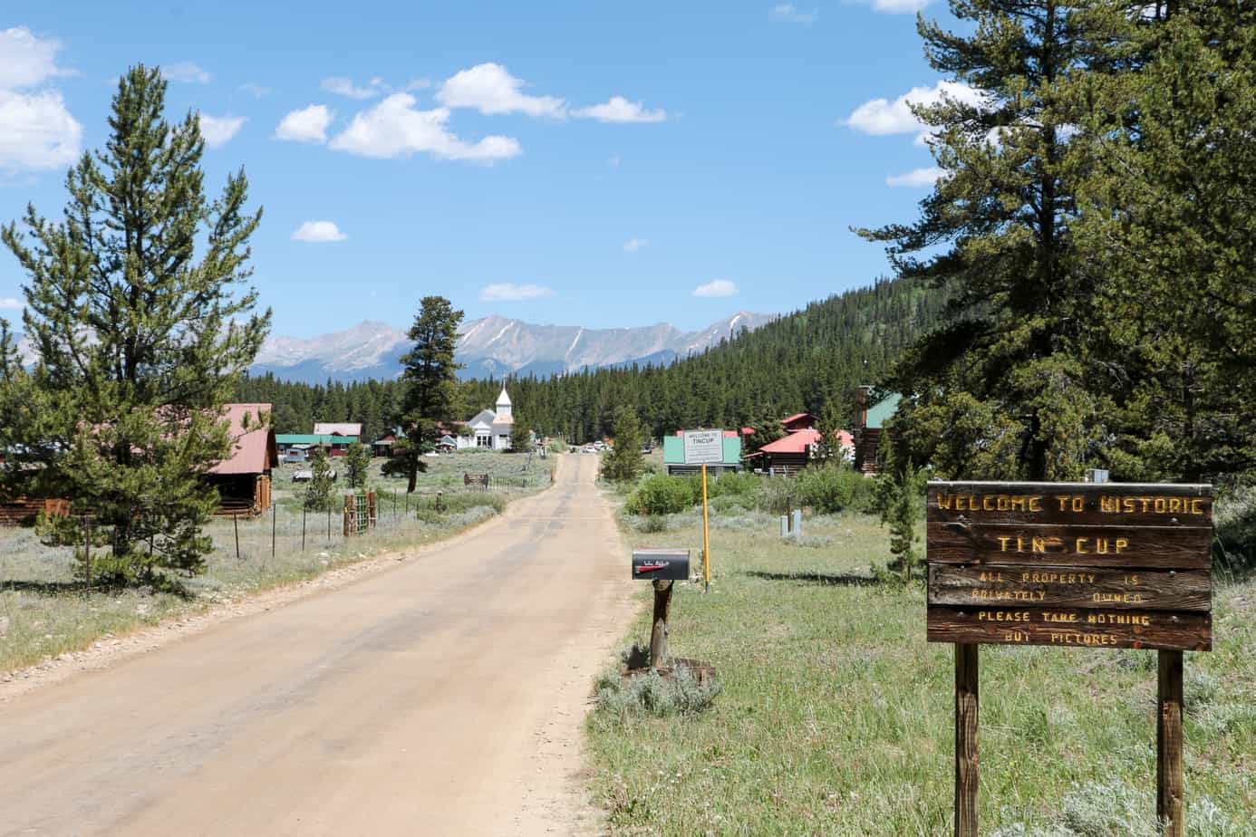
We left the Loop near Lake City and continued North for the frontier towns of Pitkin and Tin Cup. While they don’t awe you with soaring peaks or colorful flowers, the grasslands surrounding these towns hold their own unique beauty.

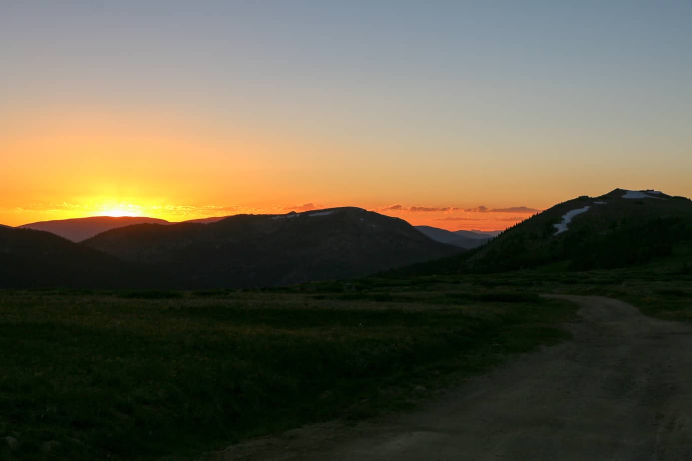
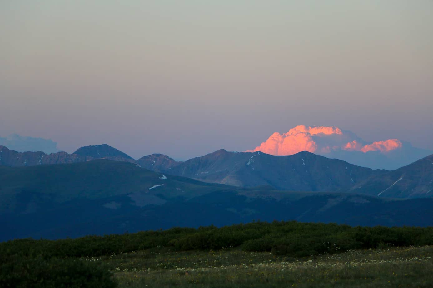
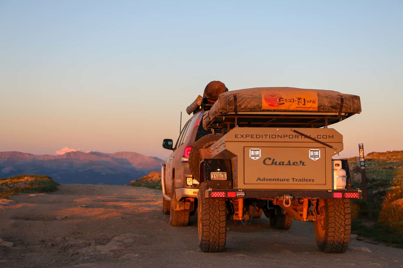
Our final evening was spent racing the night to a mountain pass. With the possibility of ice and snow accumulation at the summit, I wanted to avoid getting there in the dark if possible. We made it just in time, and found a clear path ahead of us, bathed in the golden hues of sunset.