Simultaneously in the way and out of the way, a treasure trove of abandoned mining sites, springs, camps and panoramic views across three states hides in plain sight along the CANAMEX Corridor only a few hours outside Phoenix and Las Vegas. Like most of Arizona’s “sky islands”, the juniper-covered Cerbats rise thousands of feet above the baking desert floor to reach fresh, cool mile-high air. Thanks to reliable water, the mountains are home to a variety of wildlife including bighorn sheep, bobcat, and mountain lion. The Cerbat Mountains run northwest from Kingman toward Las Vegas, and are the reason for the long southern loop through Kingman on the Vegas-Phoenix run.
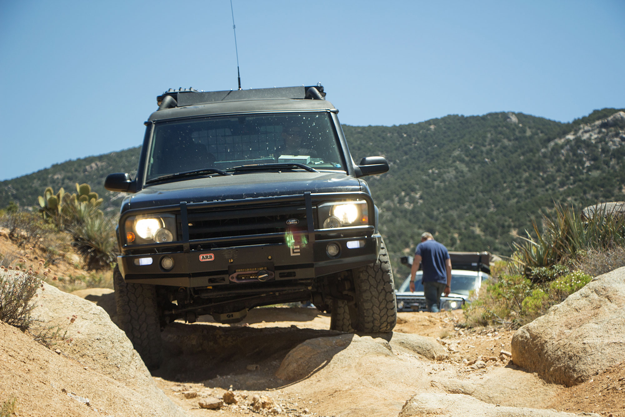
Note: The first part of the loop from Big Wash Road to the Windy Point campground is easy enough a passenger car should have no issues in good weather. Shortly after the camp the trail increases to moderate difficulty as it descends through switchbacks and rock gardens back to the desert floor. From this point 4wd is recommended, and large vehicles are not advised.
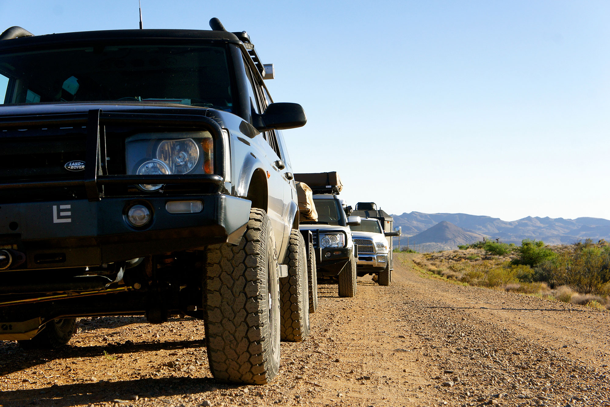

We set off from U.S. Highway 93 with three trucks and three trailers, quickly winding our way up the mountains to escape the desert heat and take in the stunning views we’d been promised. The road did not disappoint—in half an hour we were 2,600 feet higher up and ready to enjoy the sunset.
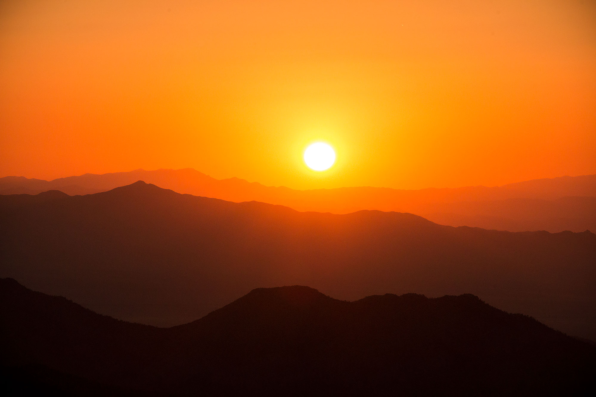
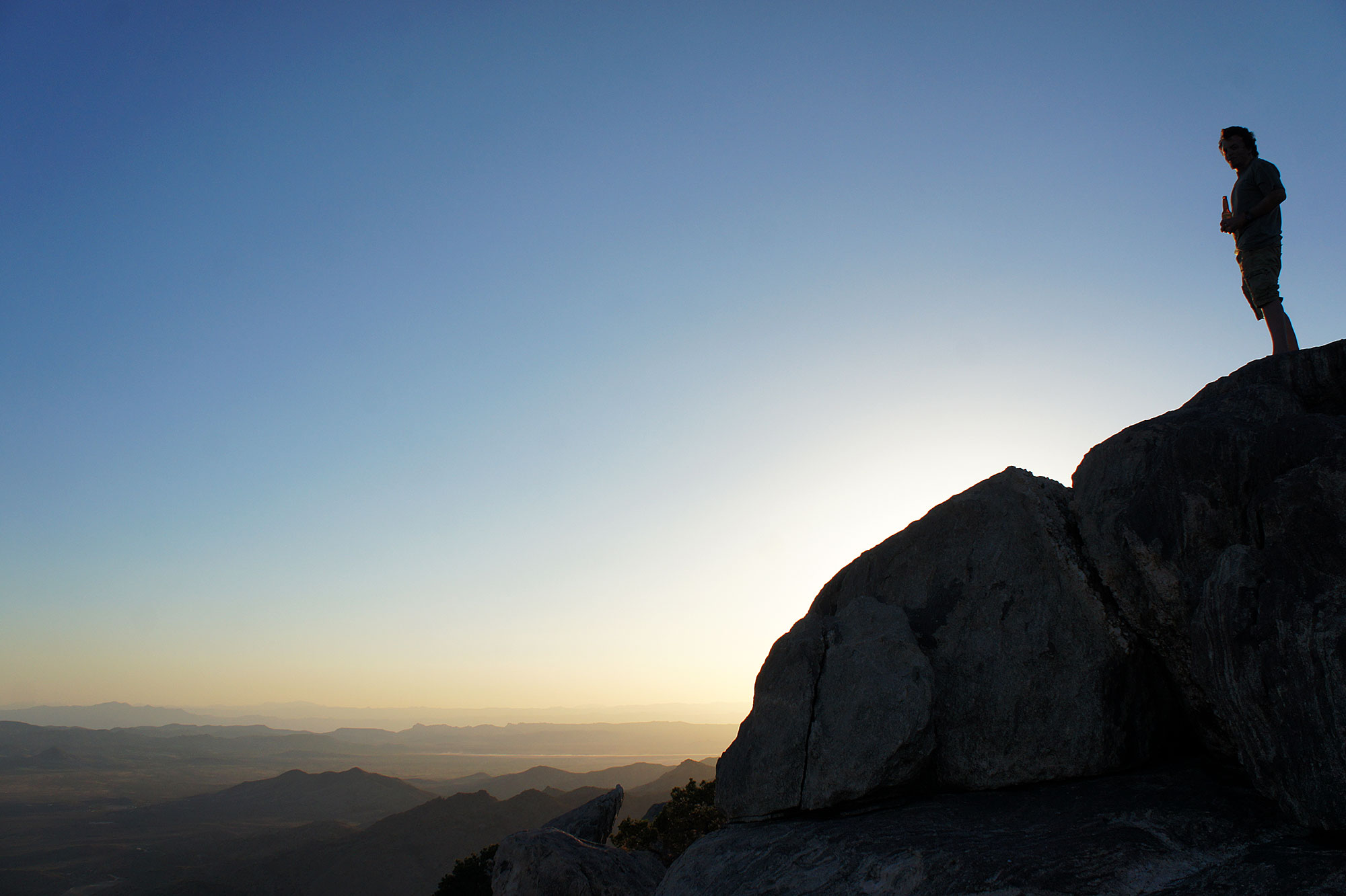
The views from Windy Point are nothing short of amazing. In the daytime you can see clear over the Black and El Dorado mountains in Arizona and Nevada to the New York and Clark mountains in California’s Mojave Preserve. If you’re up for a little scrambling, the top of the butte is the perfect spot to take it all in.


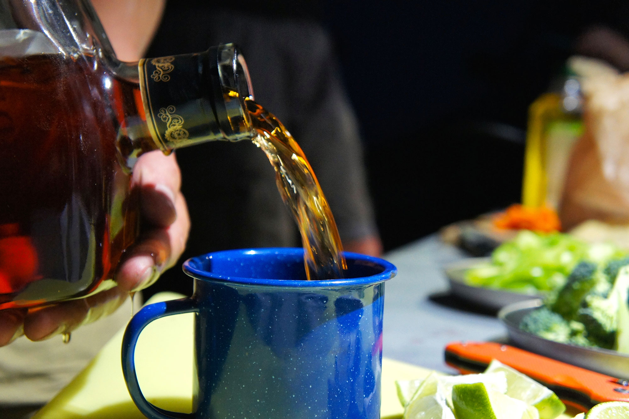

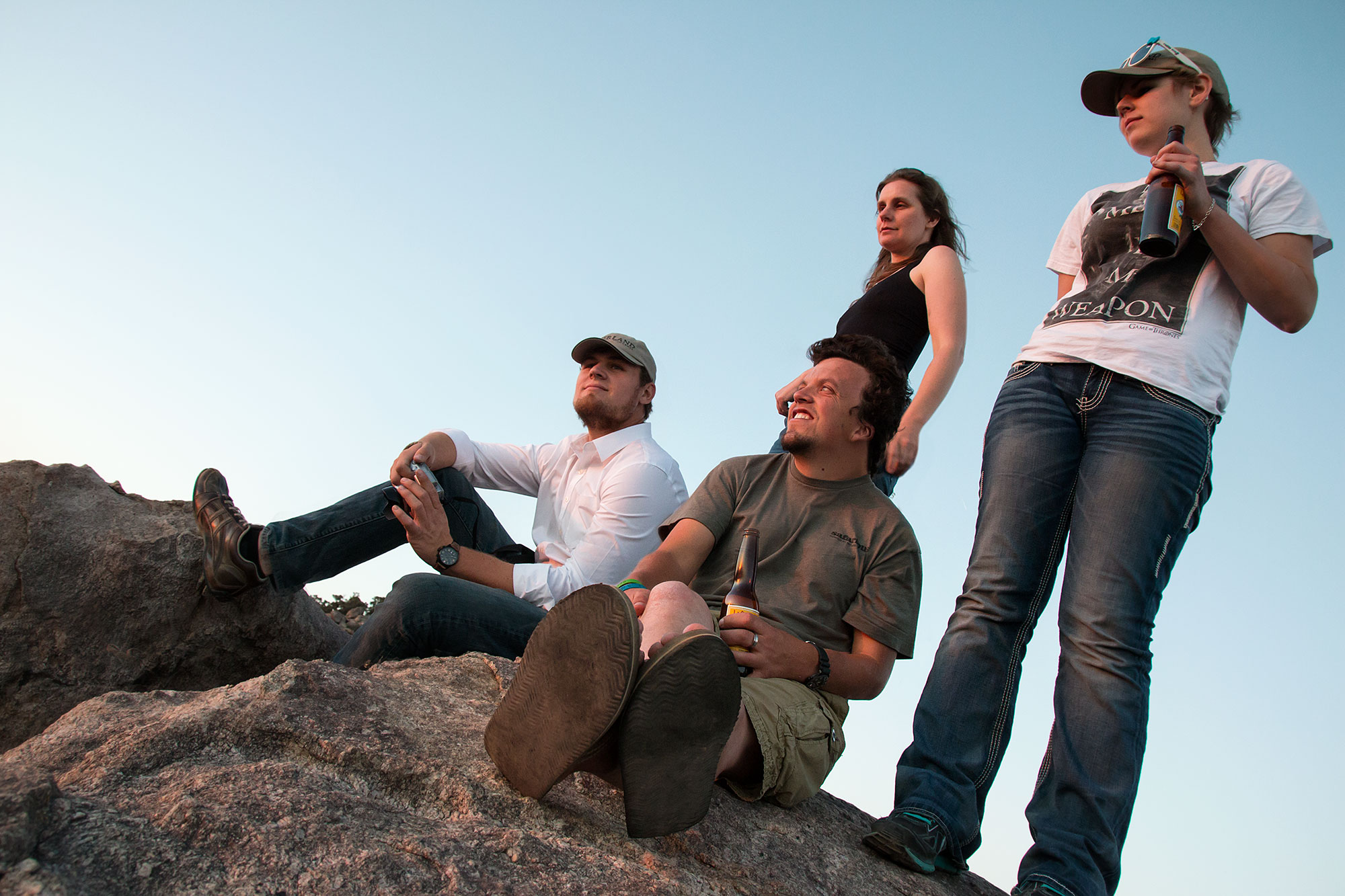
Not ones to break with the longstanding overlanding tradition of eating better on the trail than we do at home, veggies, spices, and sirloin were picked up in Kingman (quality beef is still amazingly inexpensive there). Key limes sliced, Coronas popped, and Appleton flowing we waited and watched as our visiting chef Troy transformed the ingredients into a gourmet meal.
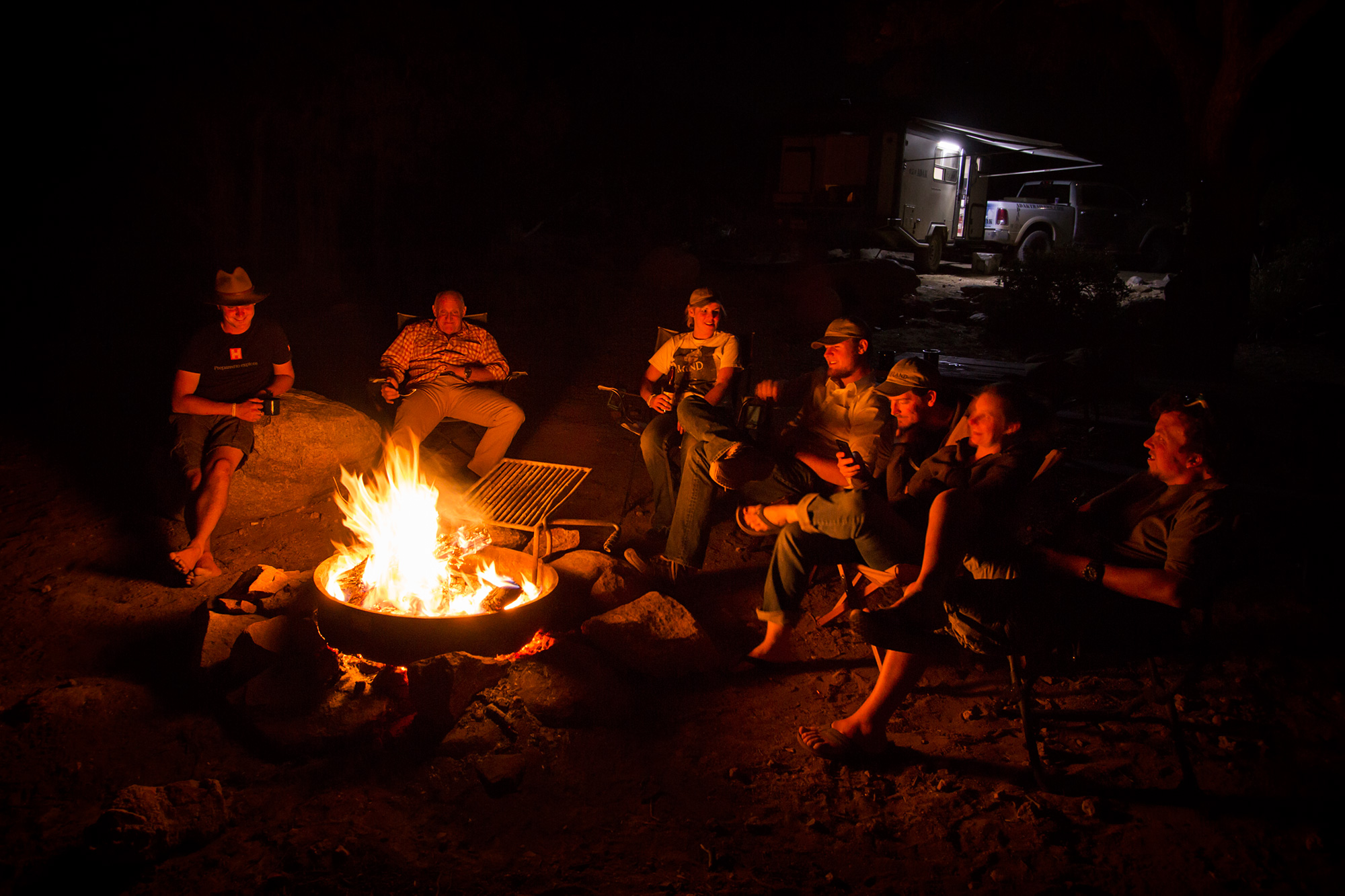

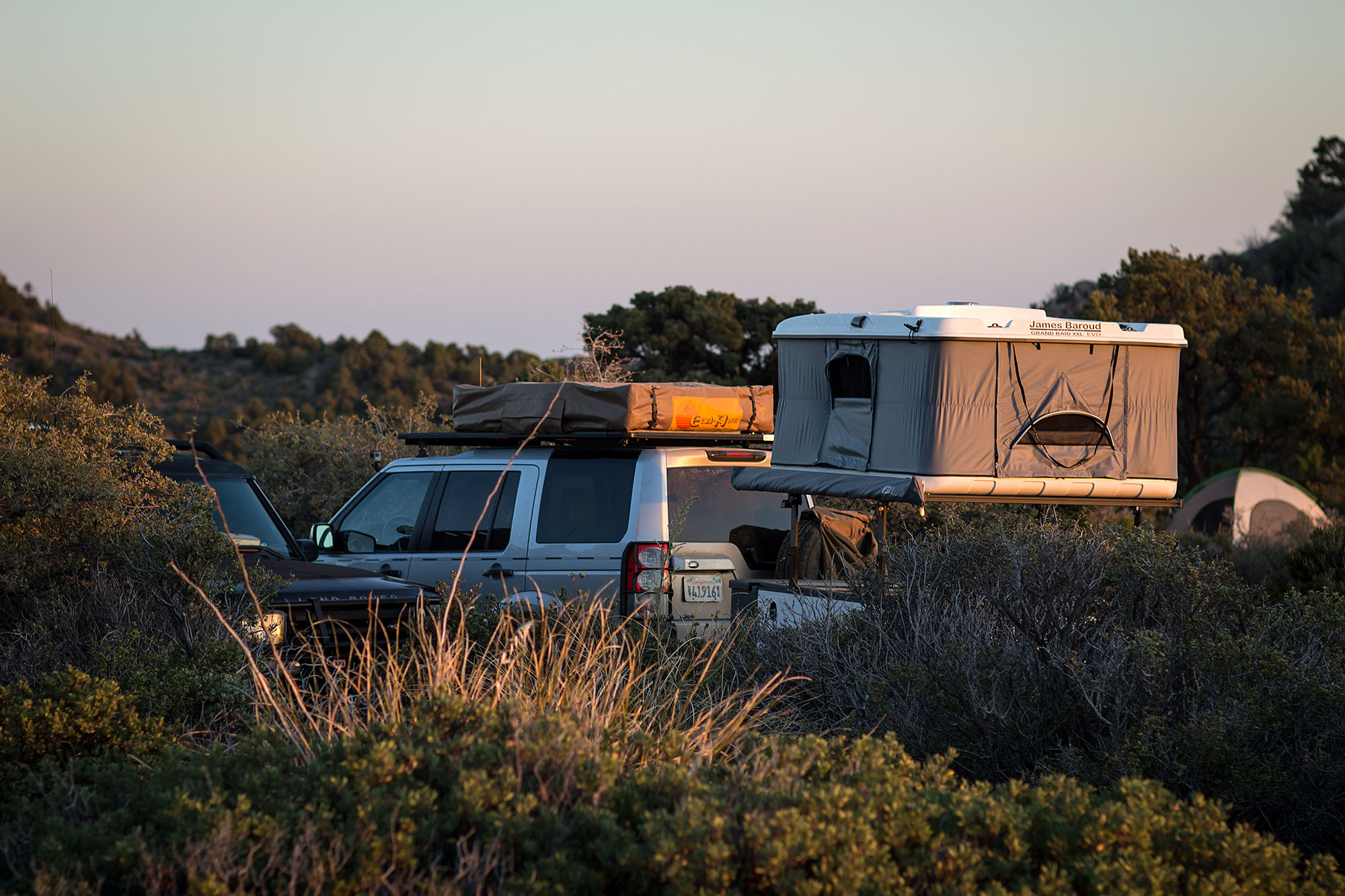
A handful of campsites rest below the buttes at Windy Point, thankfully well sheltered from the high winds rushing up from the desert below. The views continue long after the last rays of the setting sun disappear. Replacing the distant mountain vistas, the lights of nearby cities come into view: Phoenix, Parker, Kingman, Laughlin, Needles, Boulder City and of course, Las Vegas. The Luxor’s spotlight is clearly visible to the naked eye, and with a pair of binoculars you can make out the shimmering silhouette of the Stratosphere.
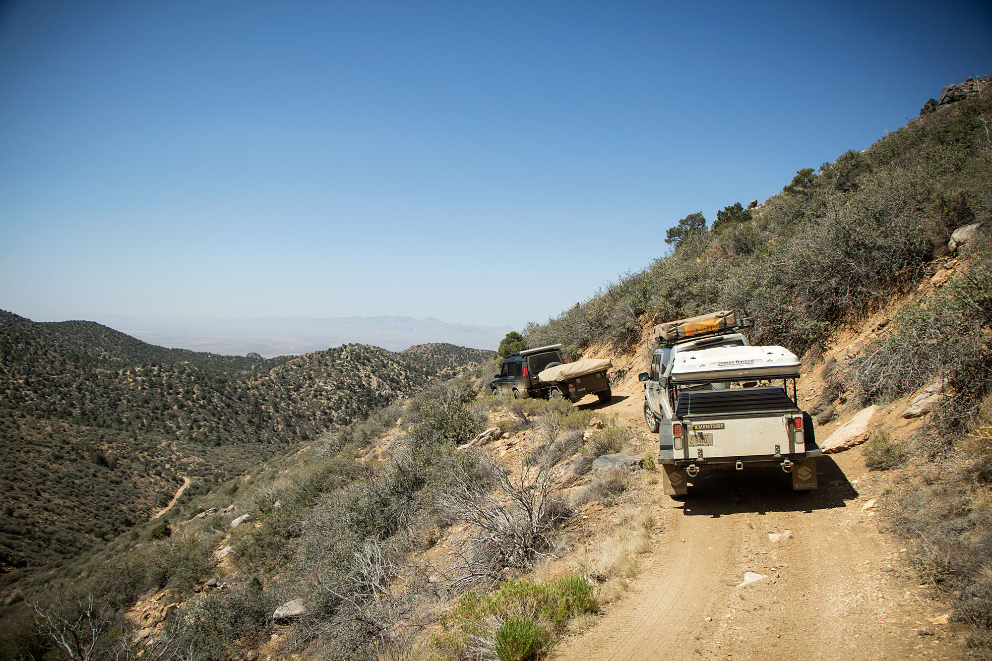


Shortly after the Cherum Peak trailhead (a few hour hike to about 7,000 feet) we began the steep descent toward Chloride, Arizona’s oldest mining town. The road remains scenic as ever, but from this point cars and large vehicles should turn back: the road is easy, but steep, narrow and loose with tight switchbacks. In the distance The Mural can be seen just above town, marking the end of the final rock garden.
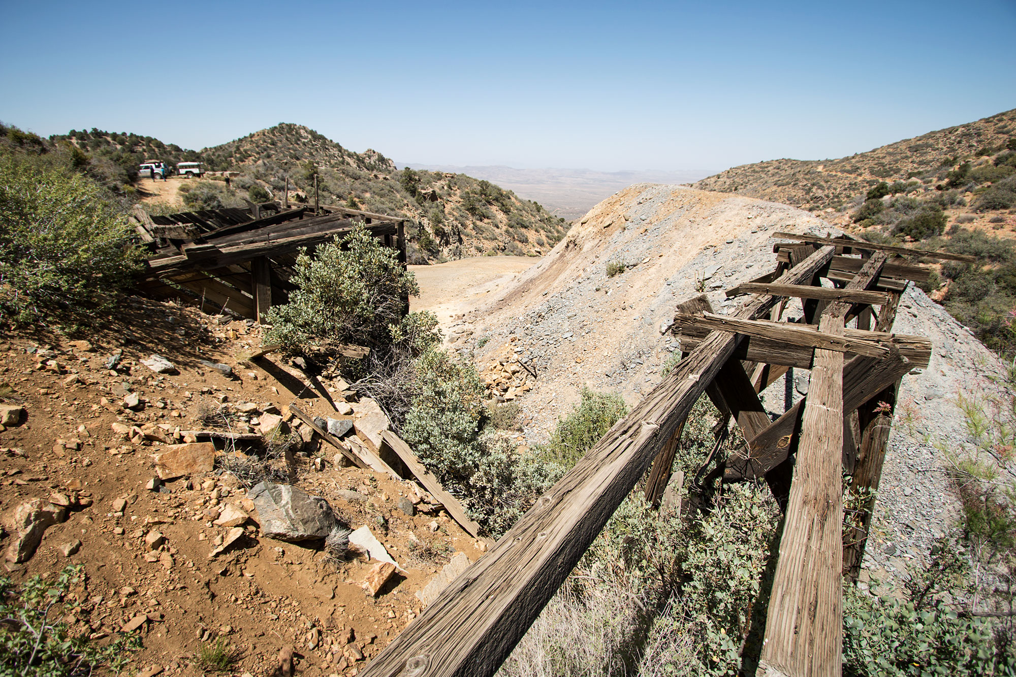

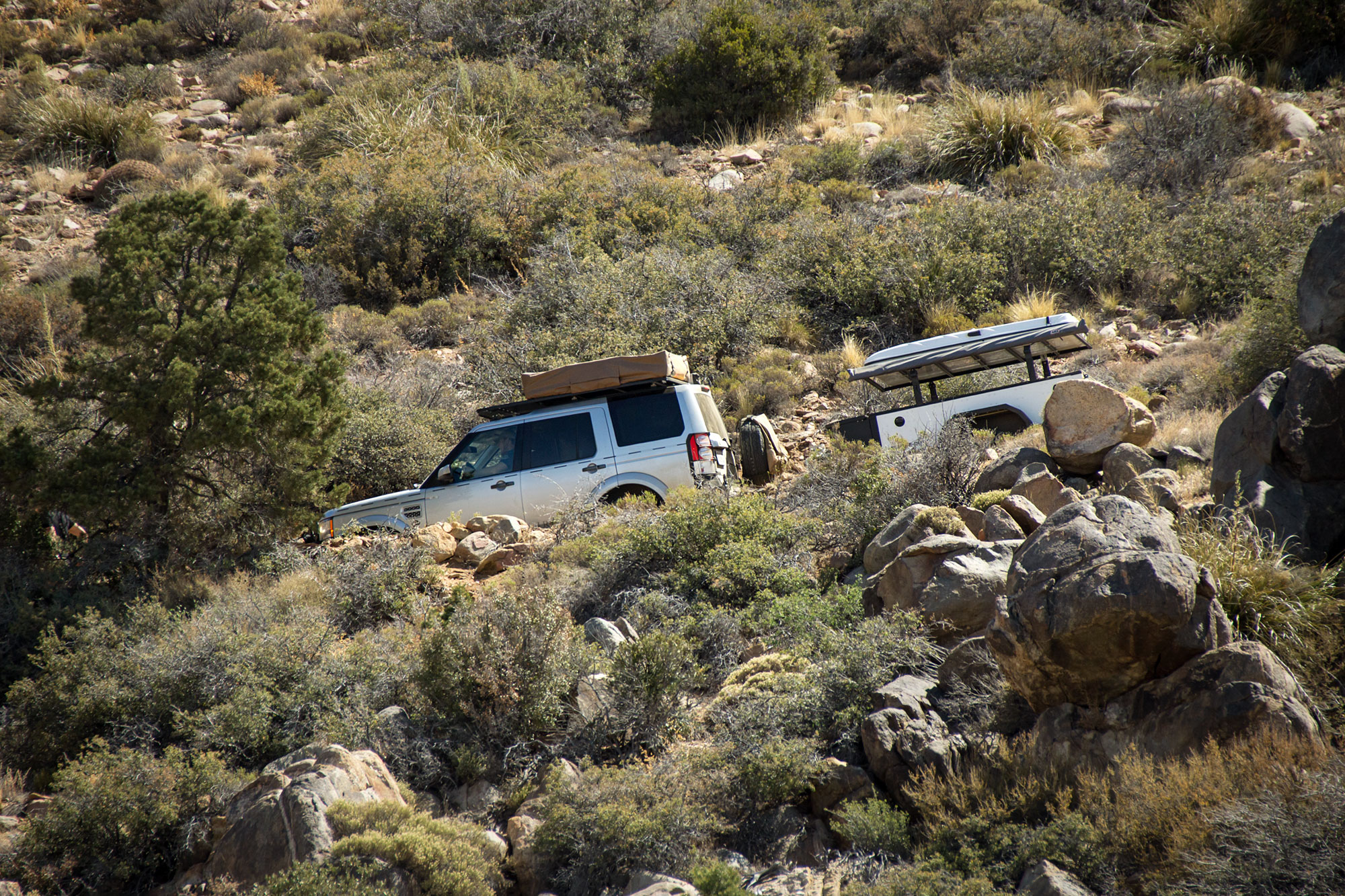
Mines and springs dot the mountainside, some off side roads and some right on the main road, but most worth exploring. Be sure to carry ample water as the northwest orientation causes the sun to start baking this side of the mountain by mid morning.

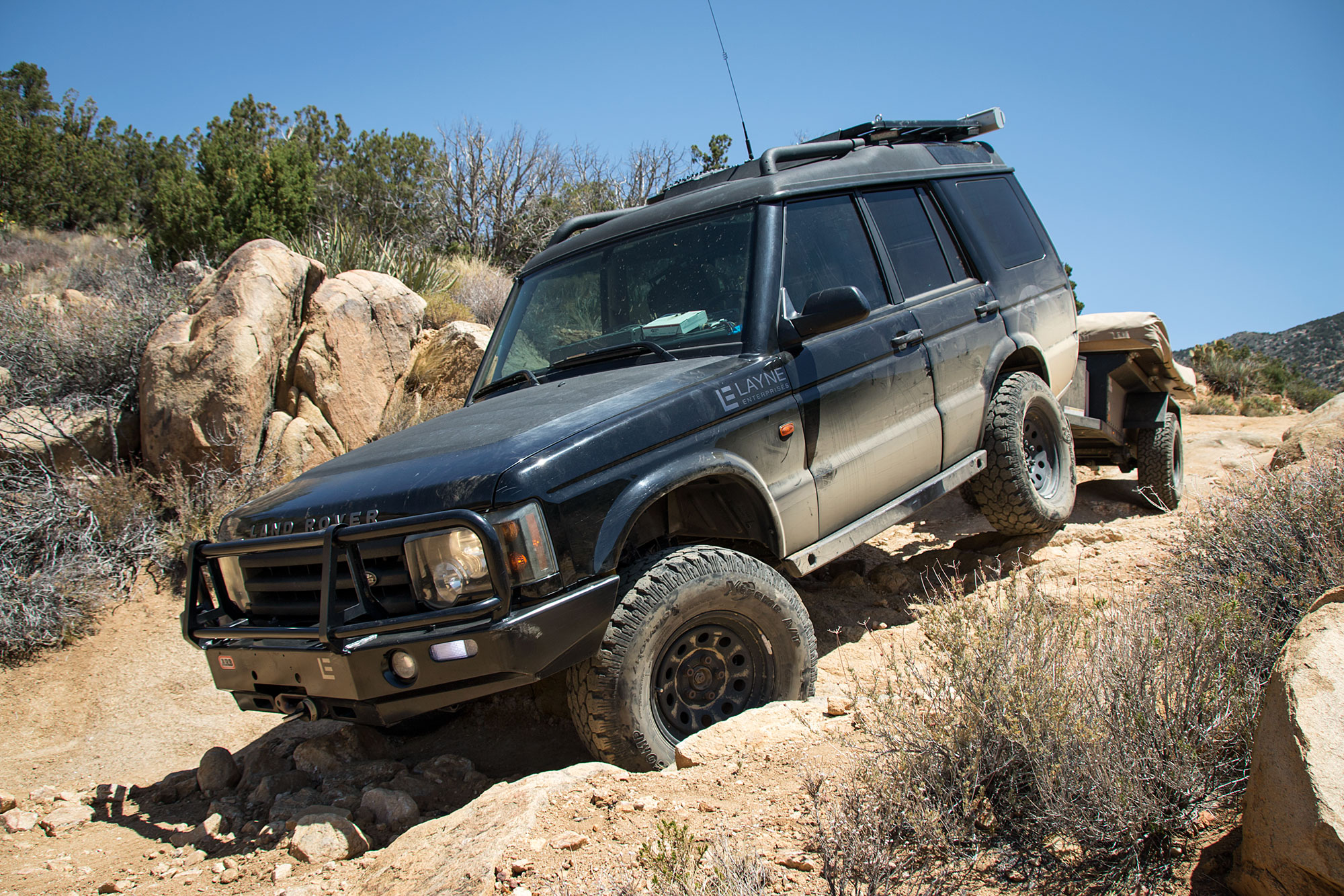
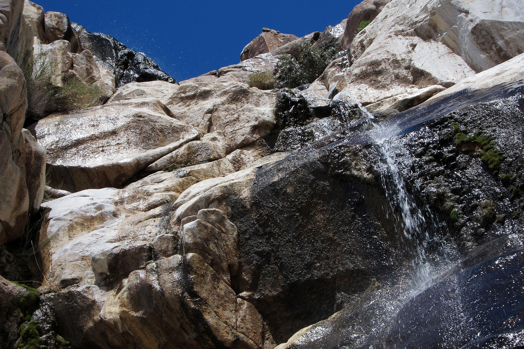
Seasonal creeks tear up the ground to form several rock gardens on the last few miles of road, offering ample opportunities for some moderate-difficulty fun. From late winter to early spring several waterfalls cascade down the side of the mountain, the largest falling hundreds of feet down a cliff near the end of the trail.

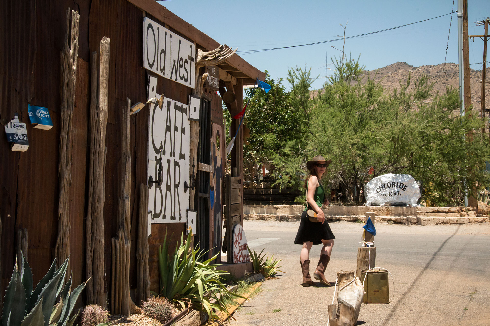

The trail turns into road, and then pavement once more as it enters the small town of Chloride. If you can stand the heat, the small town is filled with mining relics and creative lawn art and is well worth a short walk. The saloon kitty-corner from the post office has great food, cold drinks, and is a welcome respite from the desert heat before taking on the drive home. If you enjoy the service, don’t forget to donate to the liquor license fund on your way out.