SirCampalot
Adventurer
Summary:
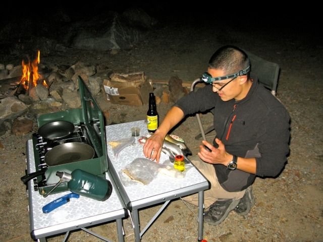
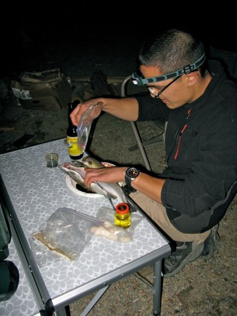
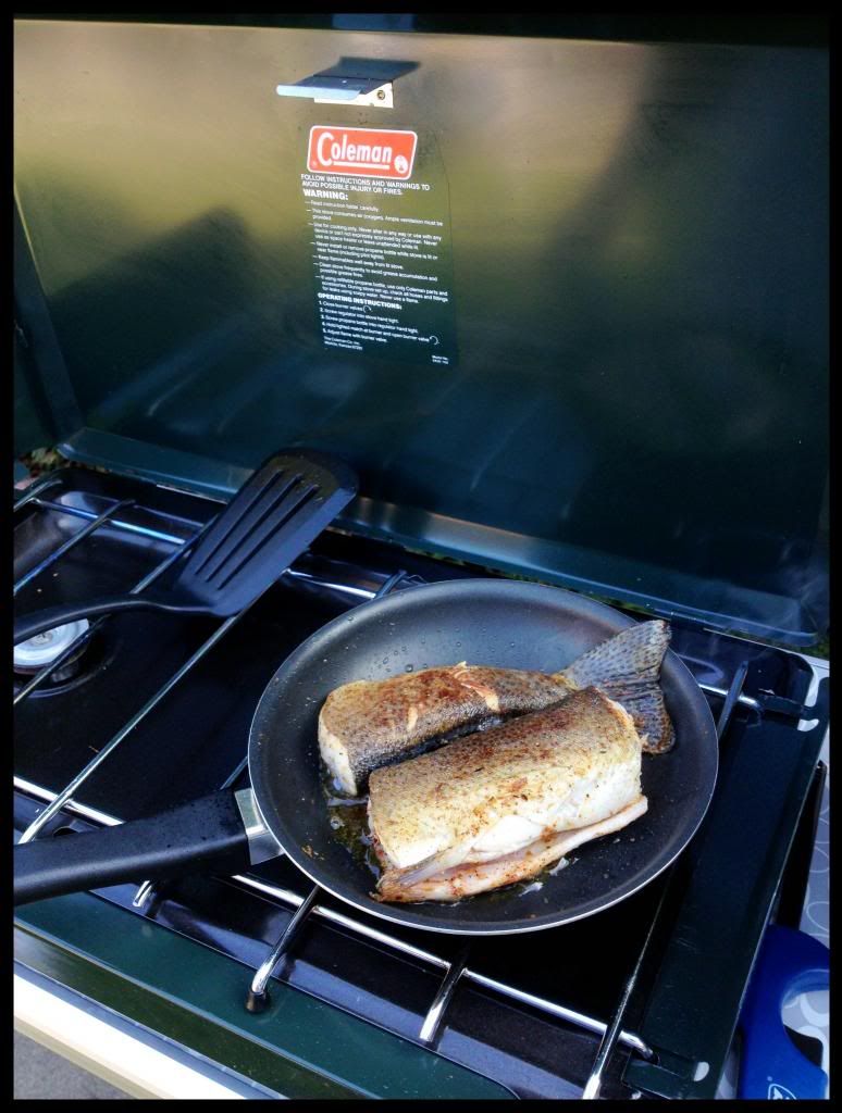
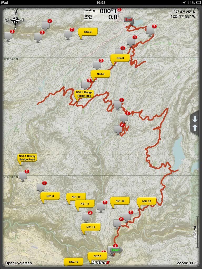
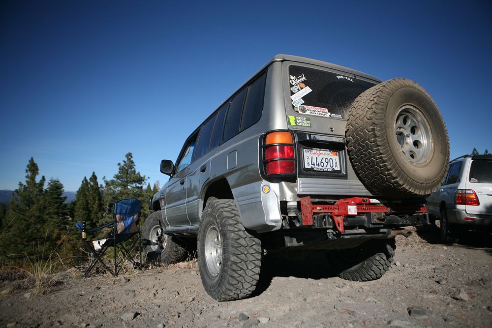
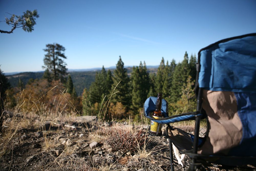
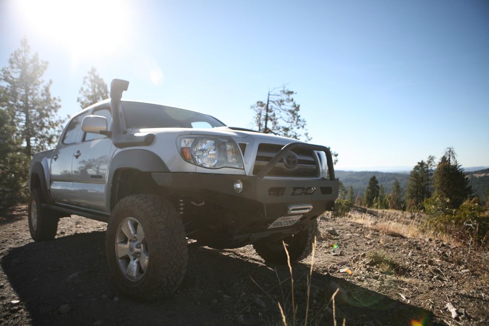
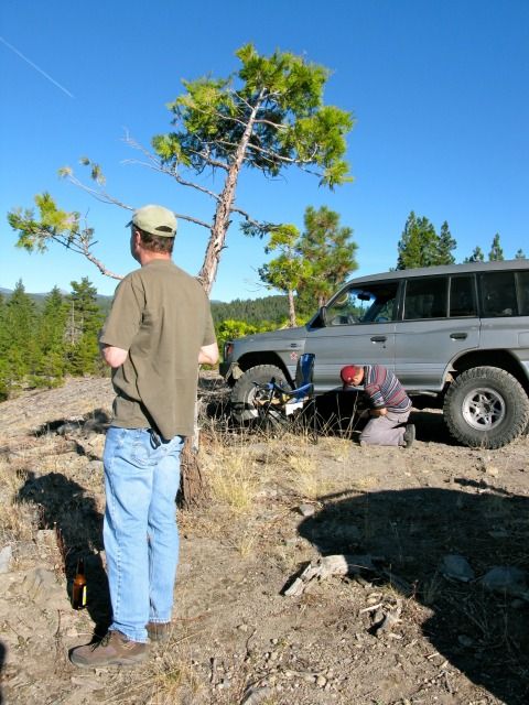
We were initially hoping to explore the Blue Lakes area (south of Lake Tahoe), but due to the high number of potentially closed trails, we opted for "Plan B". The alternate plan was to explore the lower elevation areas (5000-6000 feet vs. 7000-8000 feet) of the Stanislaus National Forest. Either way, we wanted a location that wasn't too far from where we lived. In the course of 3-days, we covered over 100-miles of trails/dirt roads within the Stanislaus National Forest. We couldn't have asked for better weather conditions. The group got along well, caught some nice trout, ate great food, and drank Pacifico. We were fortunate to avoid any mechanical issues as well. What else could we have asked for?
Here's the breakdown of the trip:
Day 1 – 11/4/2012
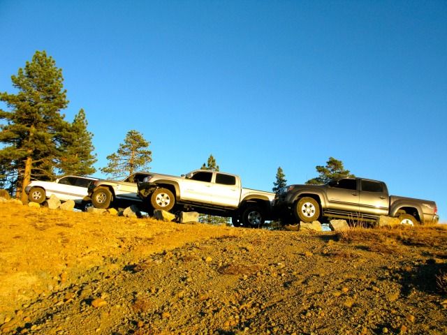
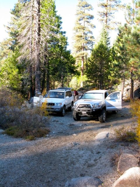
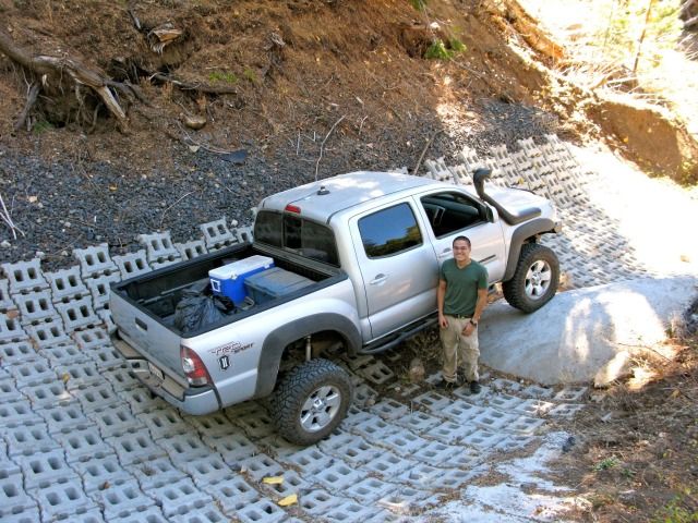
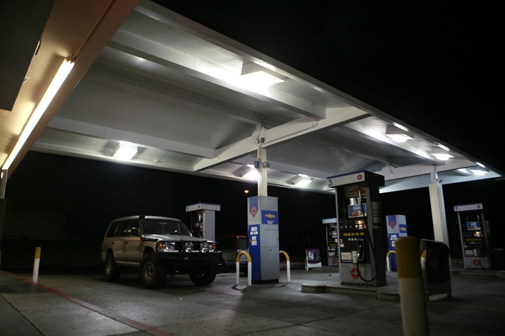
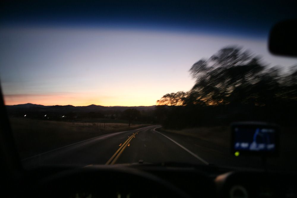
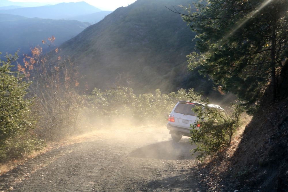
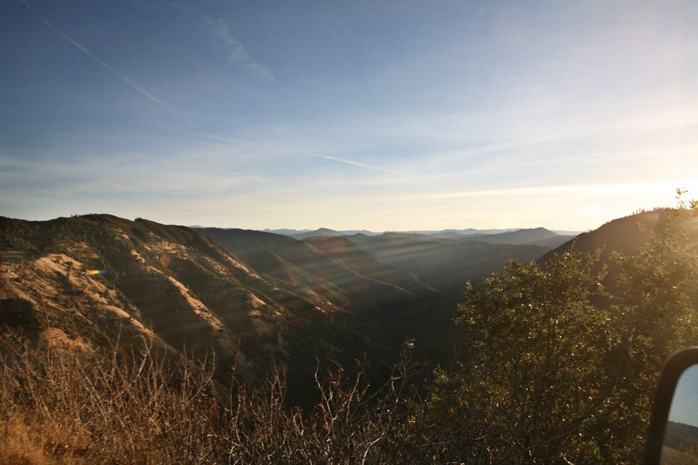
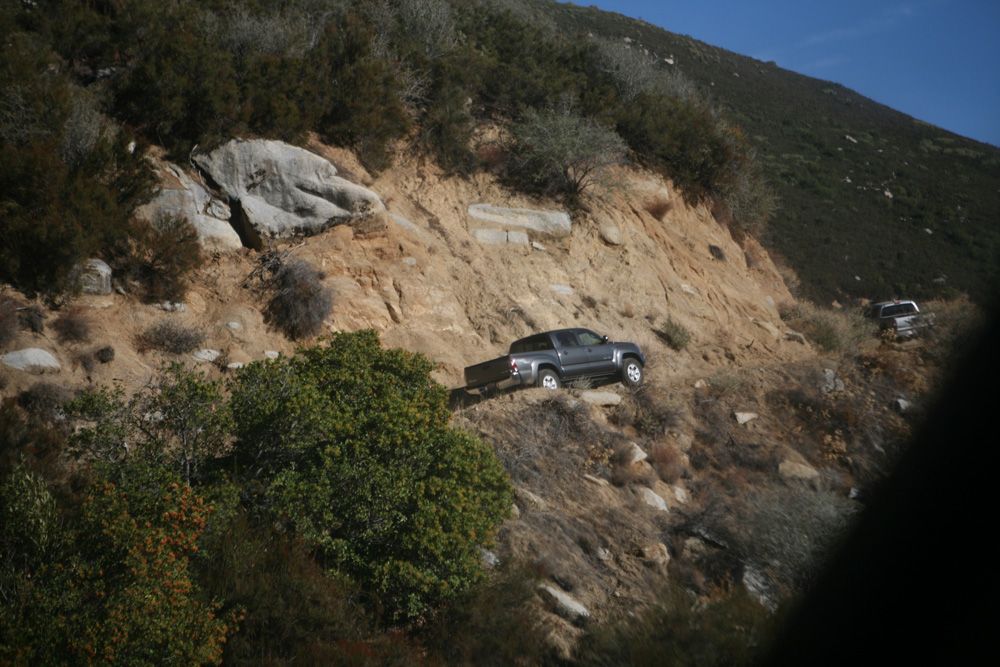
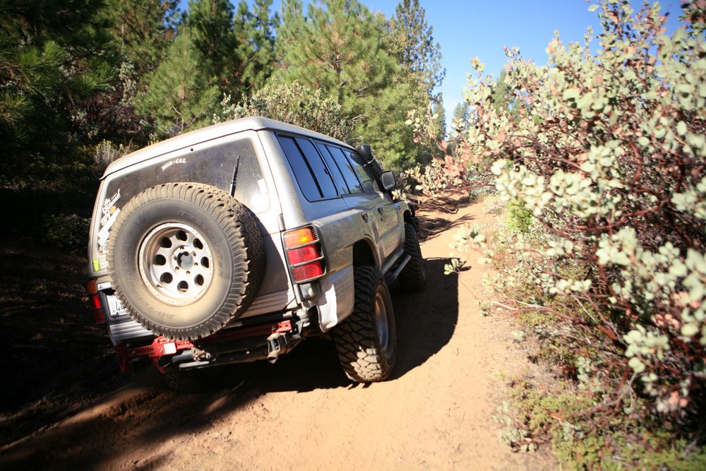
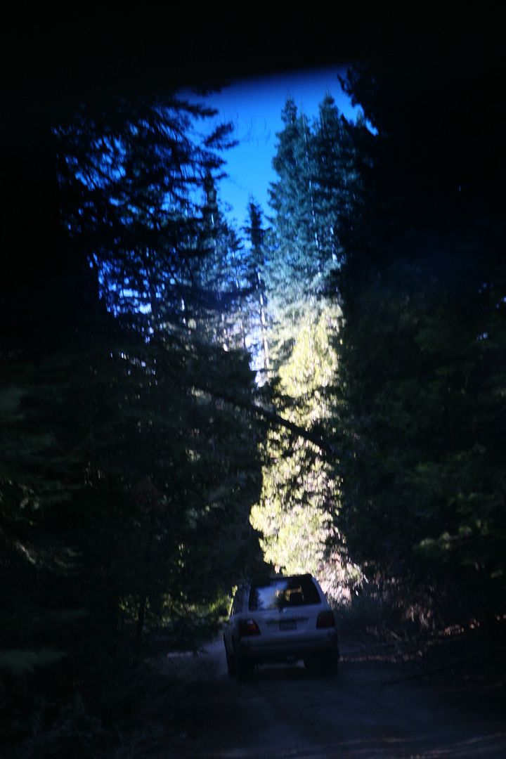
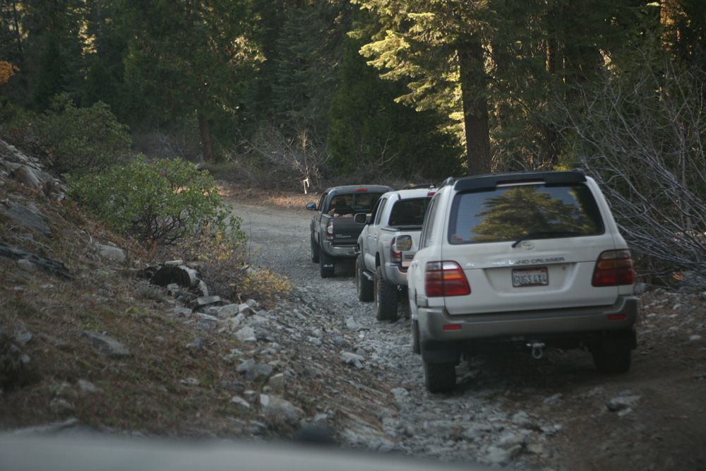
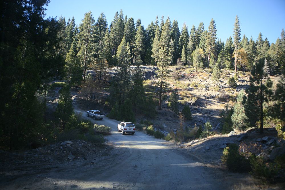
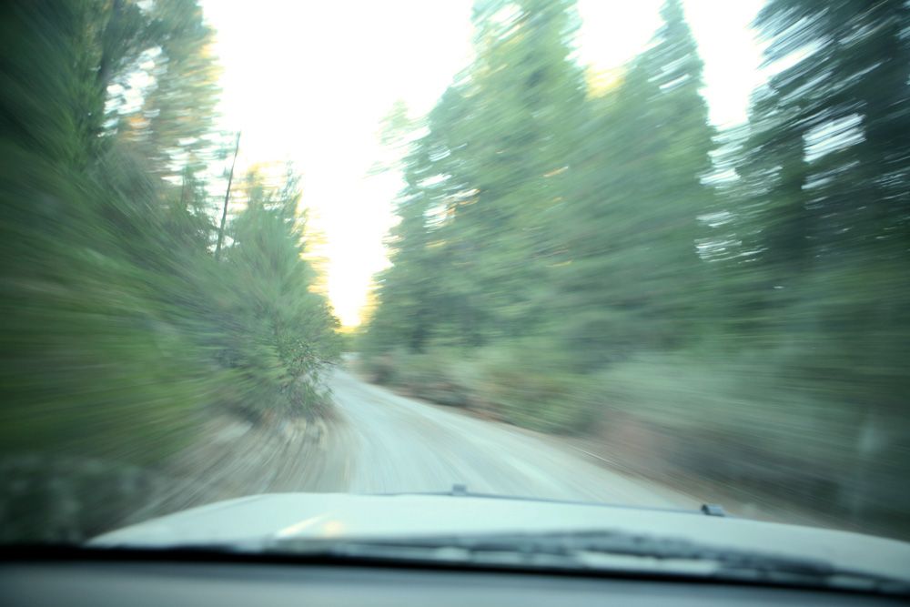
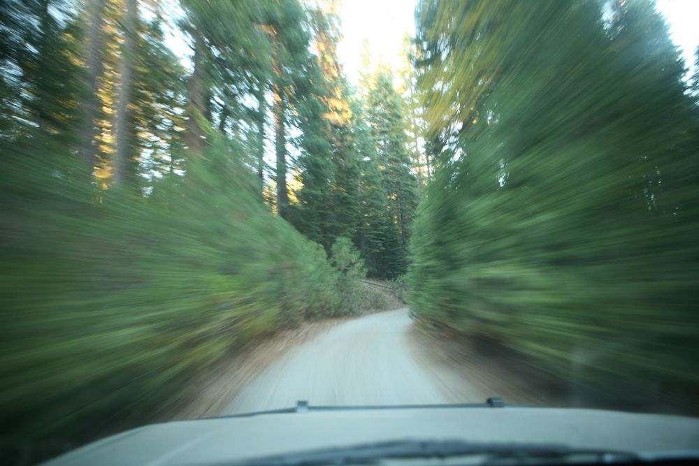
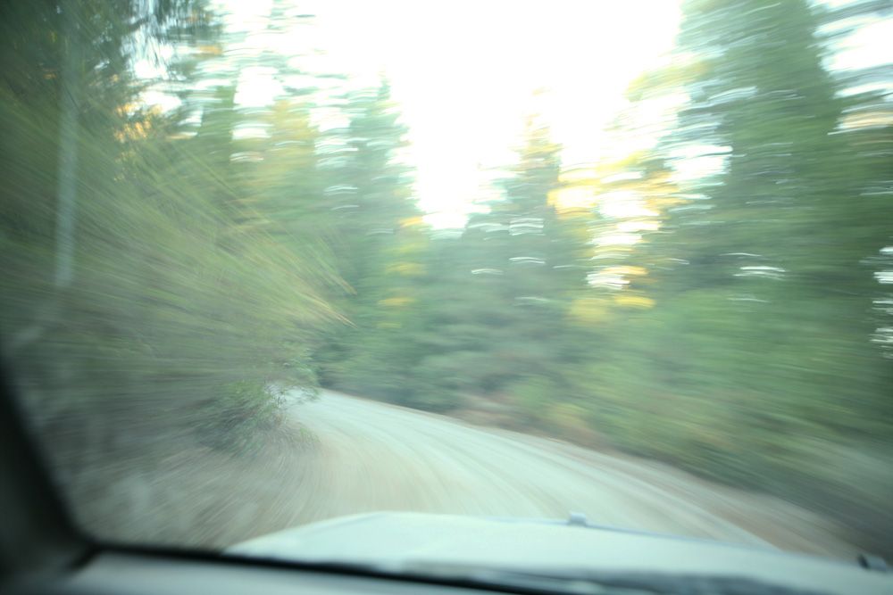
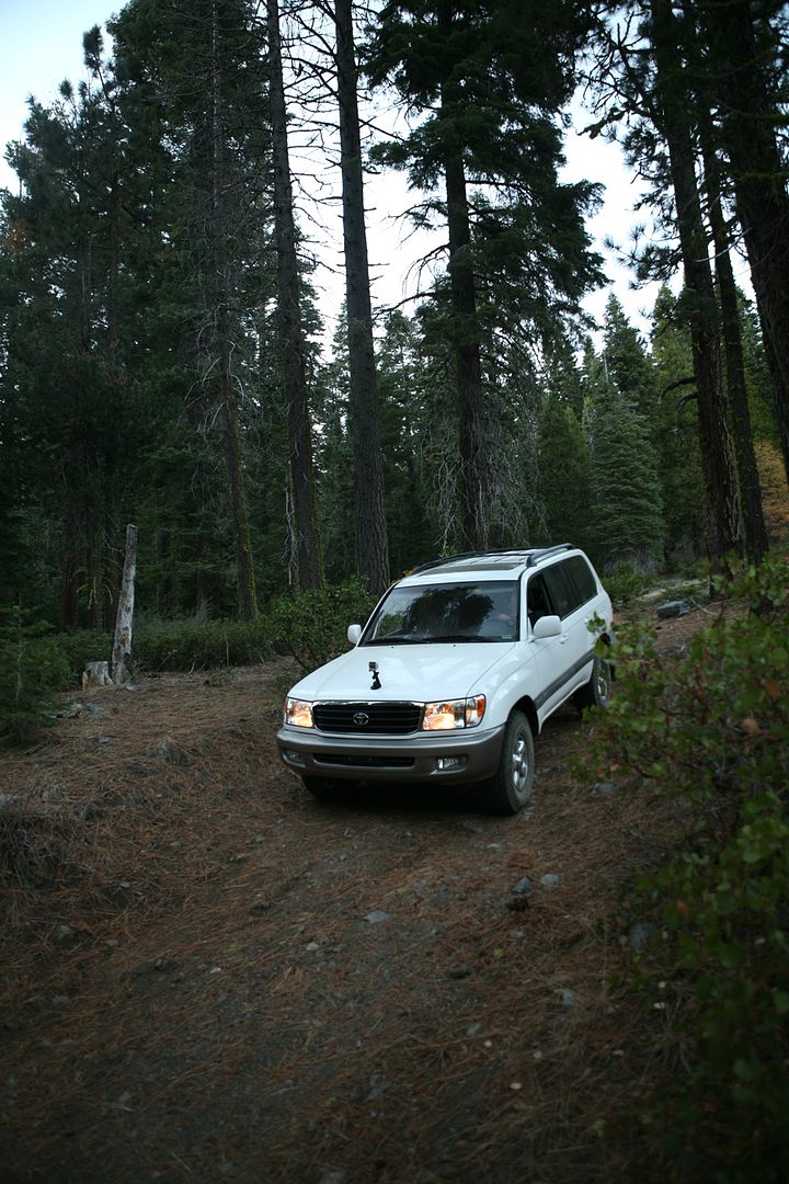
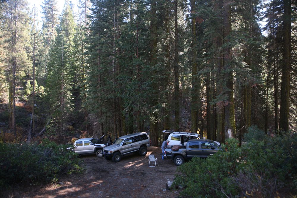
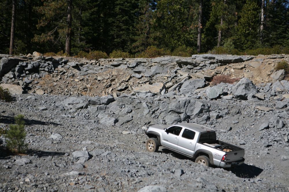
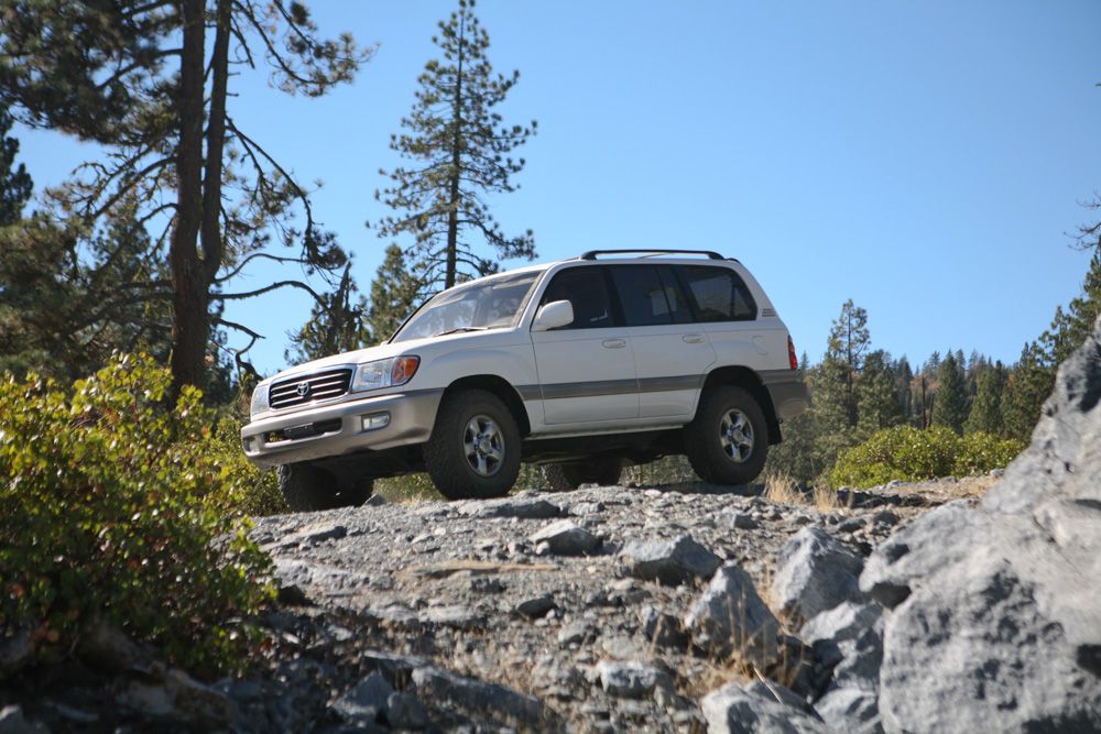
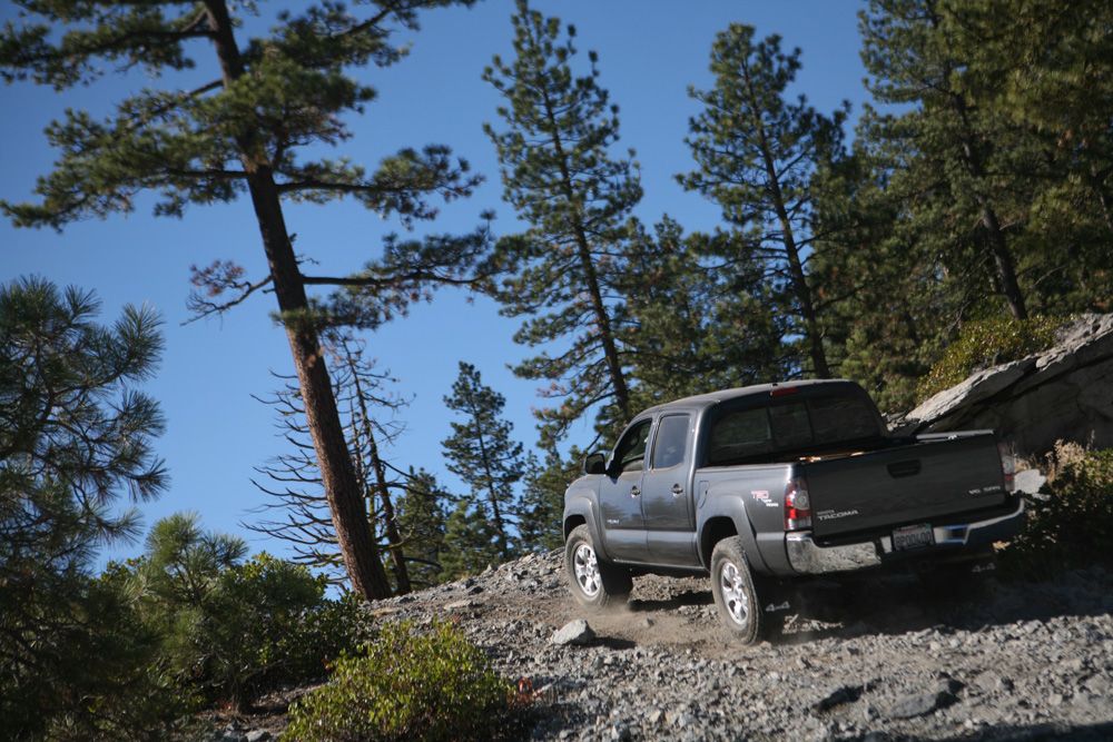
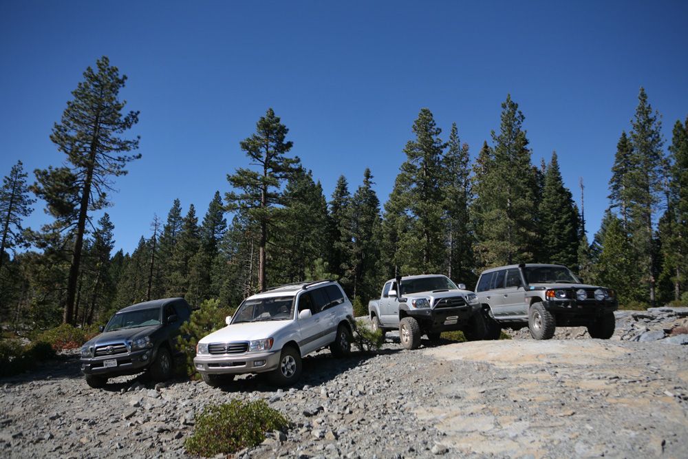
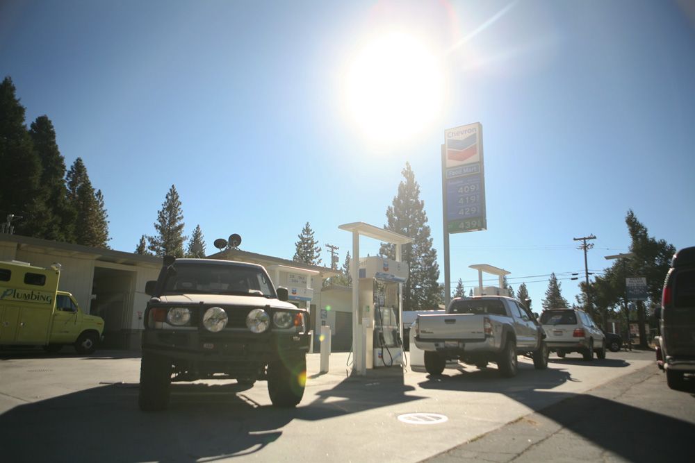
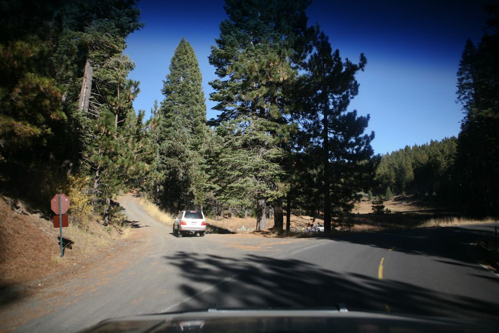
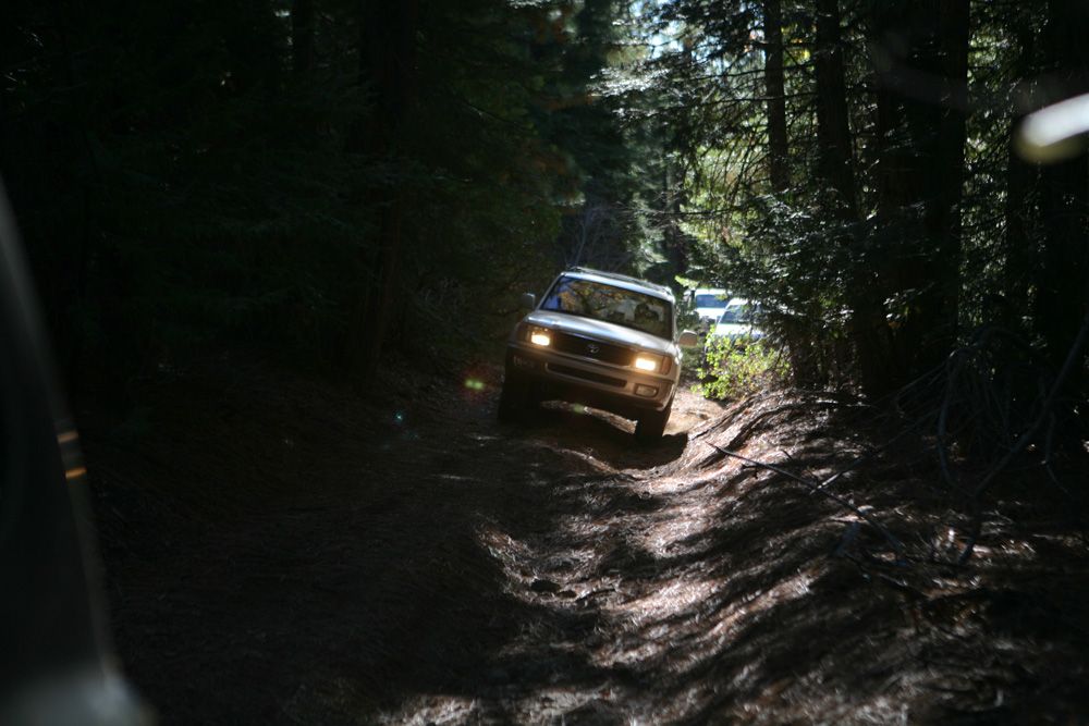
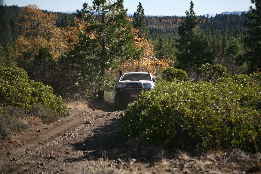
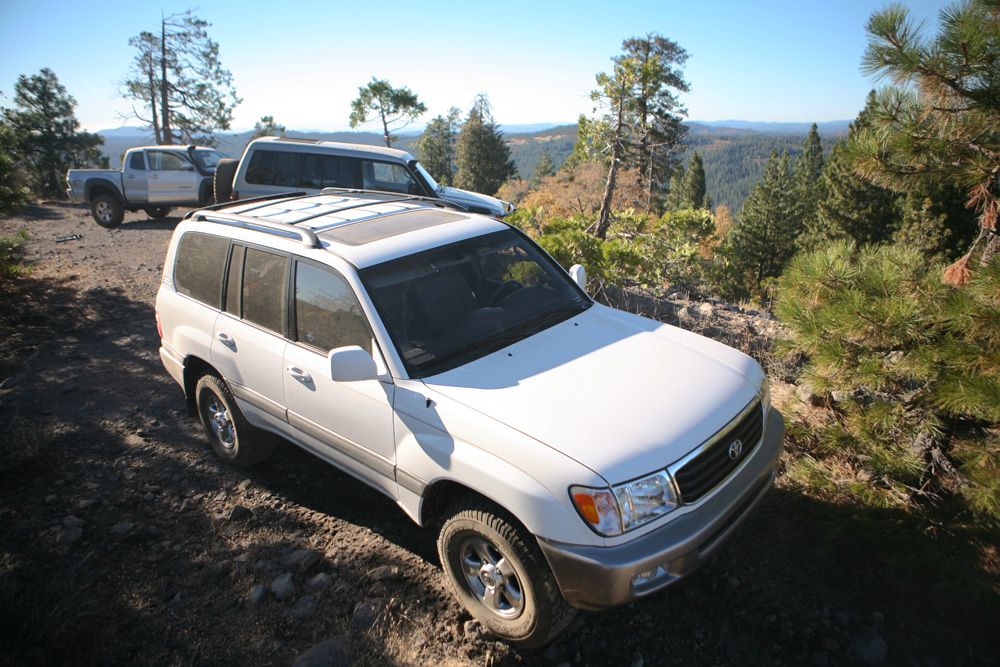
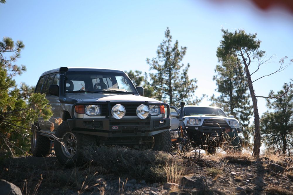
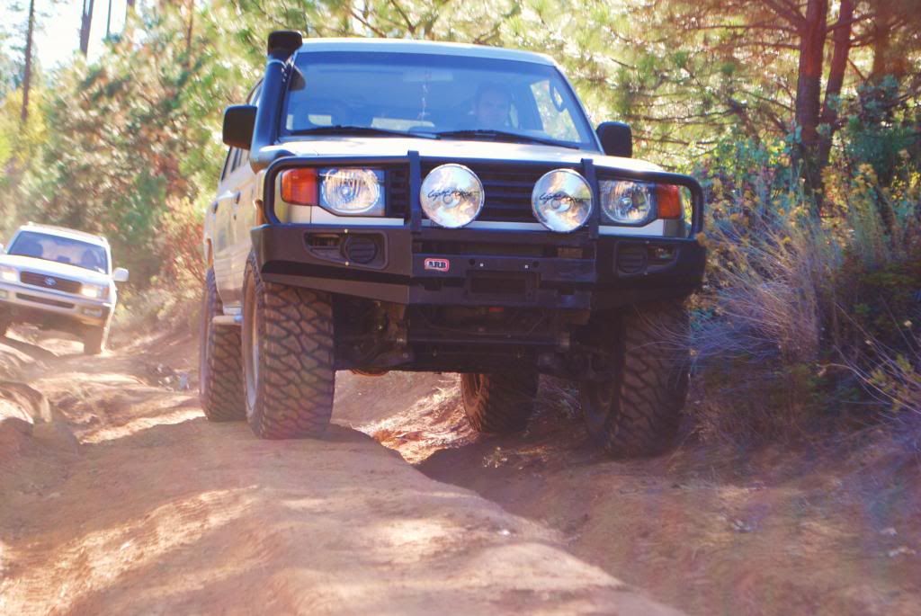
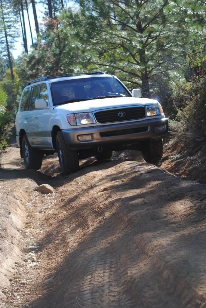
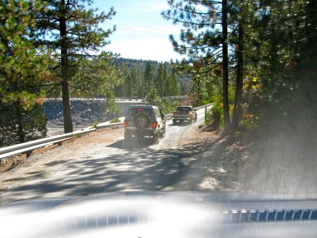
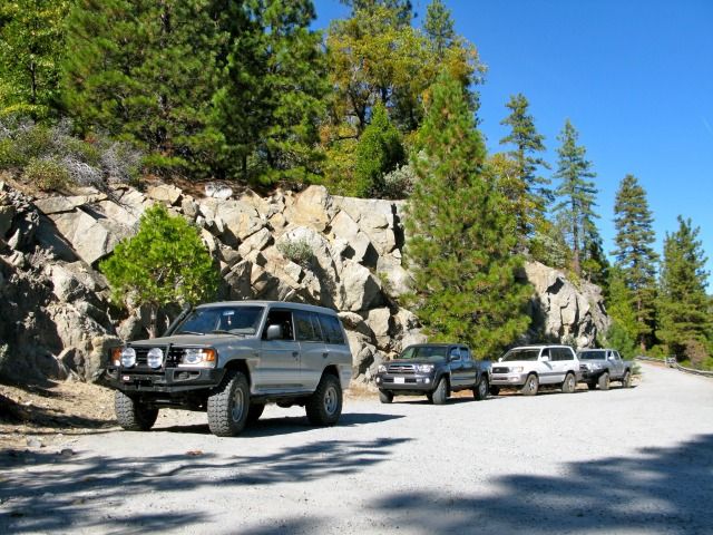
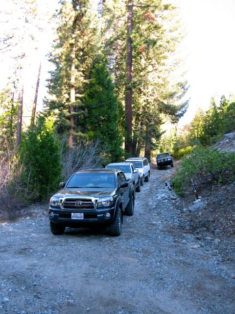
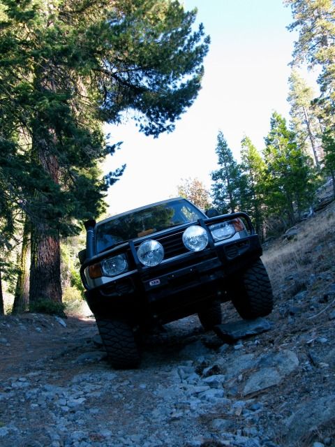
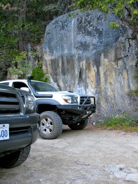
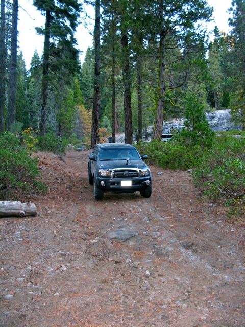
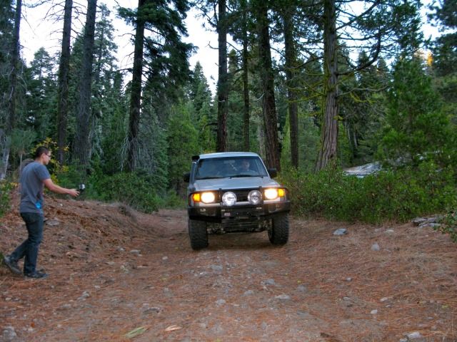
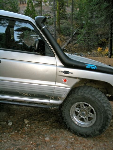
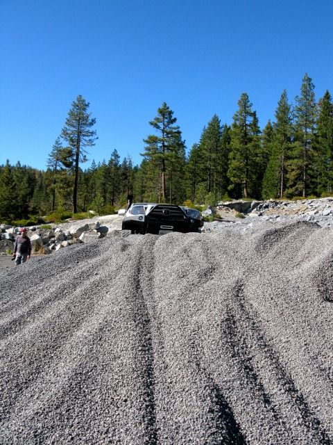
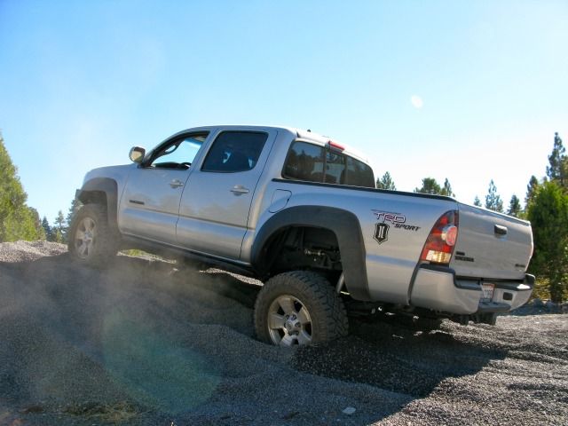
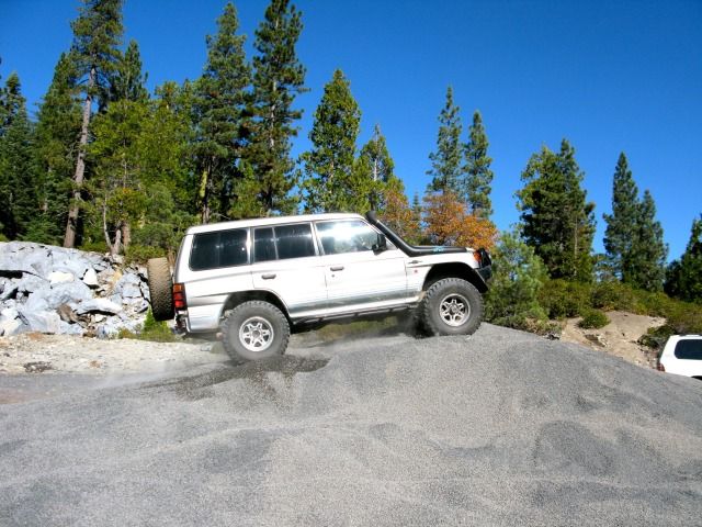
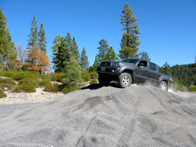
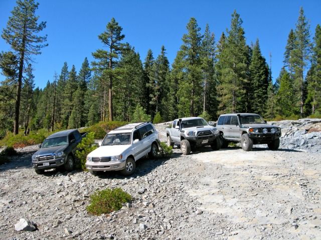
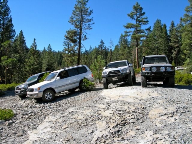
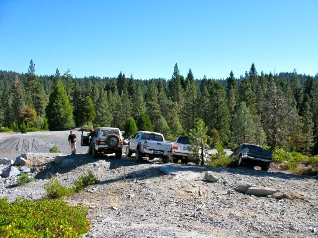
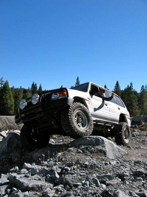
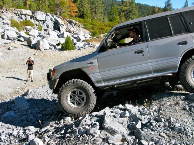
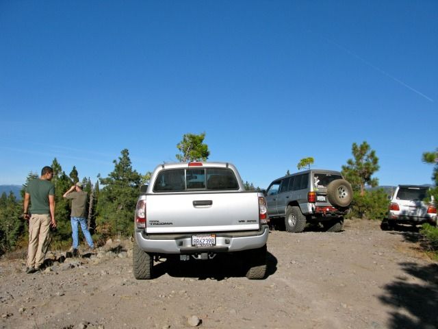
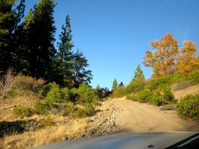
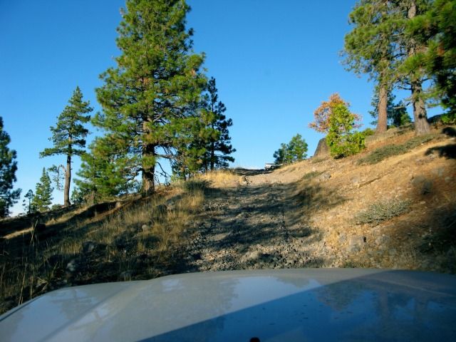
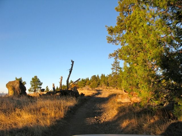
After a hectic day (going to my kid's soccer game, shopping for supplies, getting stuff done around the house, and packing), I somehow managed to squeeze in 1.5 hours of sleep before leaving for this trip. The weather forecast for the next few days was very good… almost too nice for a November. We departed the SF Bay Area at around 0430 hours. We caravanned east towards the town of Groveland, CA. Since eurosonic was coming from Sacramento, he had agreed to meet us at the ranger station in Groveland. About an hour and a half into the drive, a nicely outfitted Montero pulled out ahead of us. I called eurosonic to see is that was him in front of us… sure enough, it was him! Talk about good timing! The 4 of us then proceeded east into the town of Groveland to the trail head off of Ferretti Rd. Once we reached the trailhead, we aired down and proceeded east on 1N70 along the south fork of the Tuolume River.
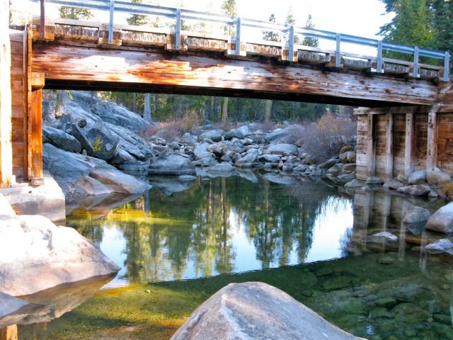
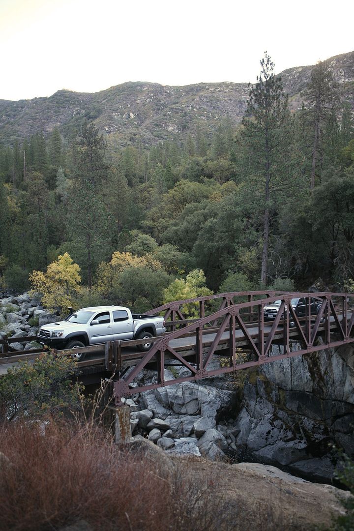
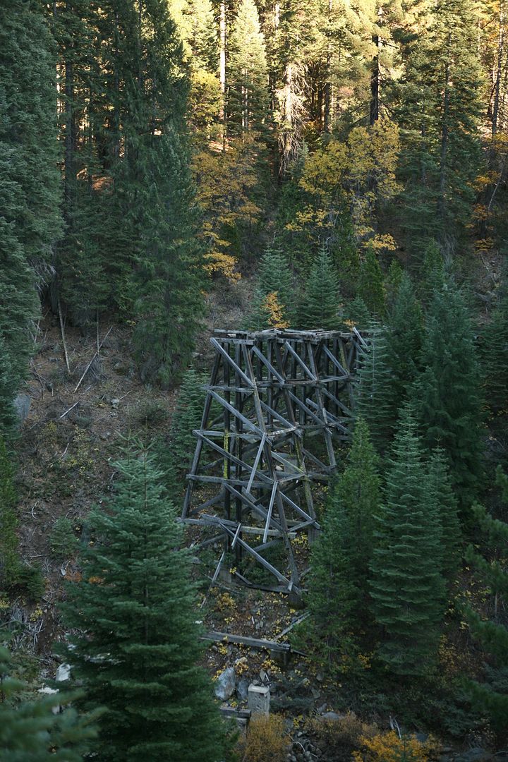
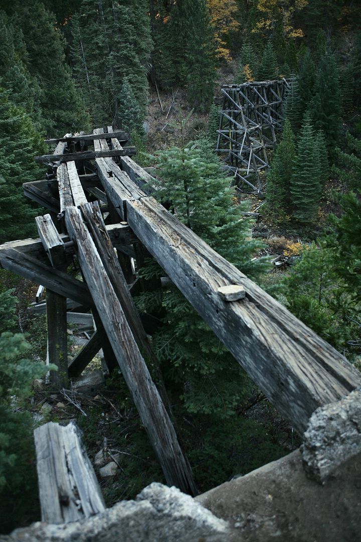
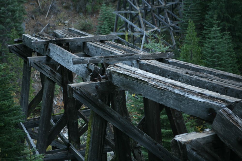
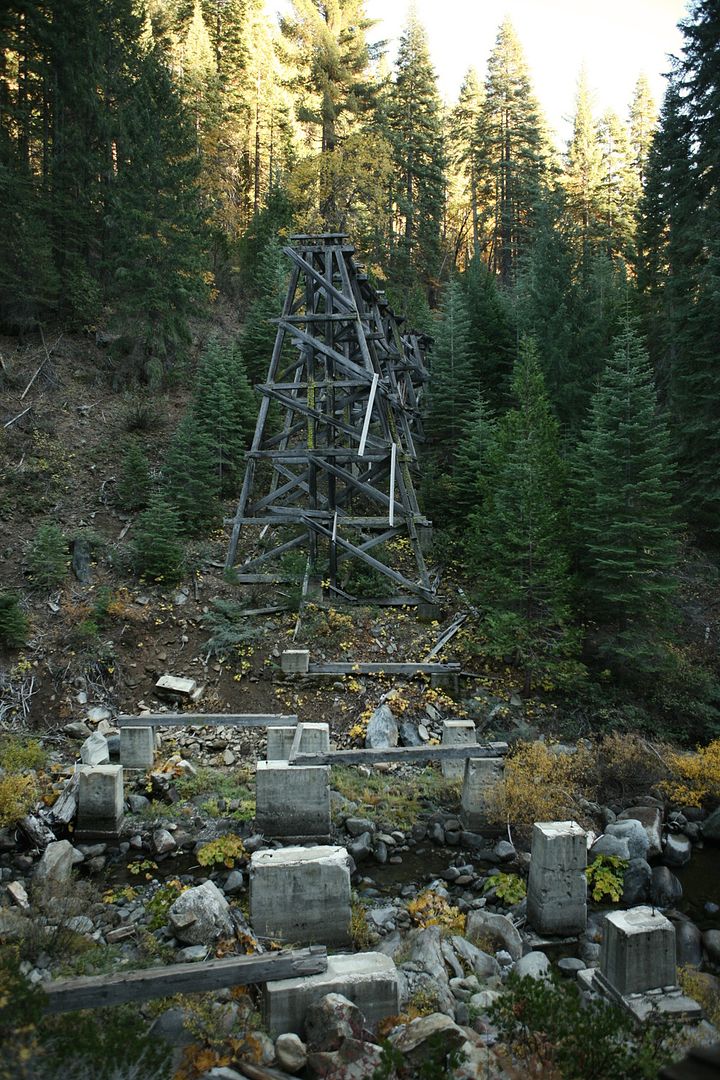
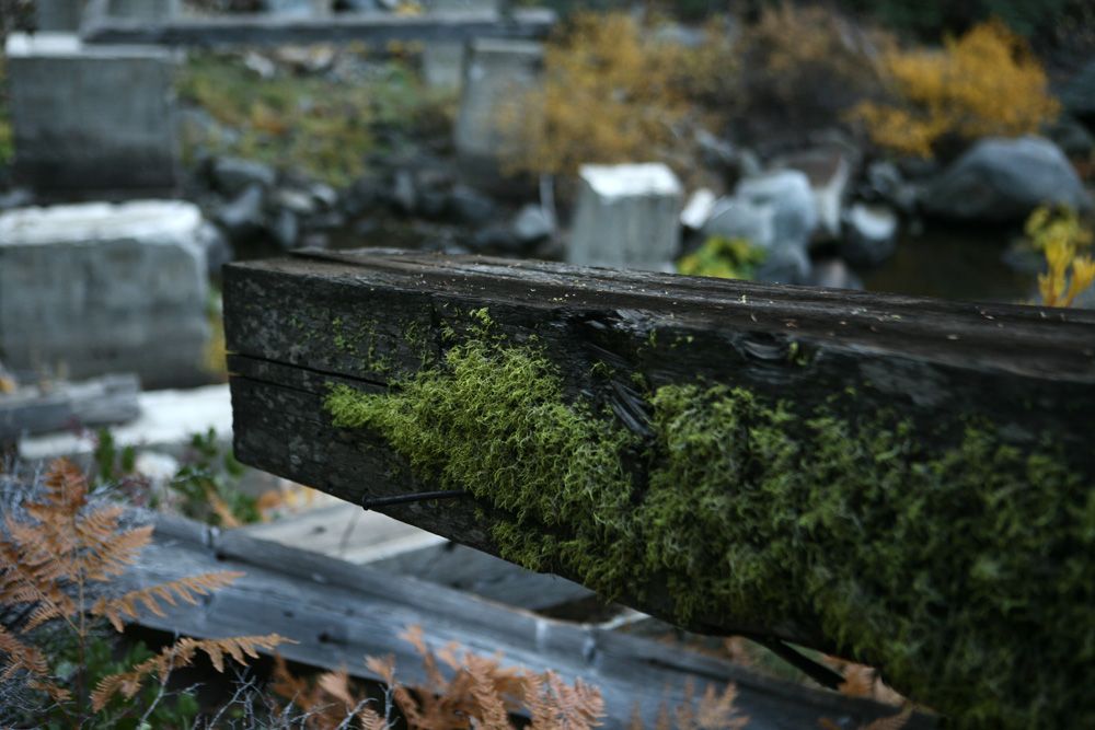
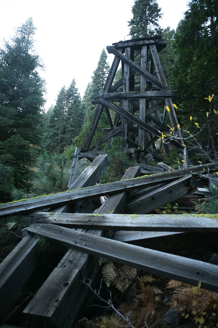
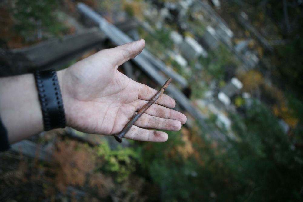
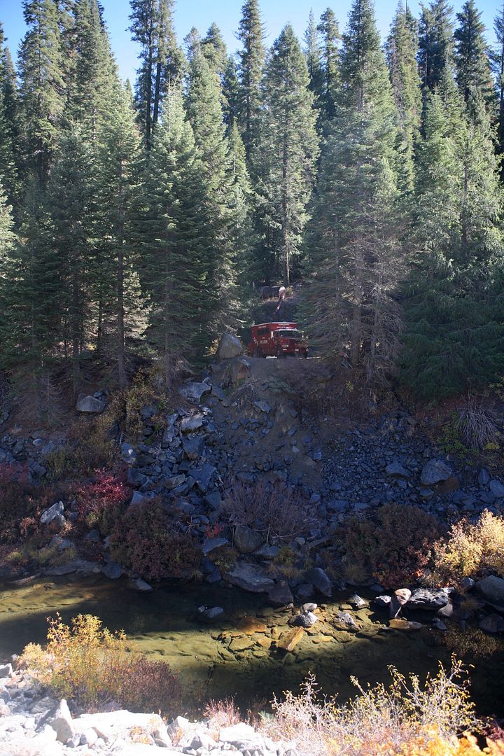
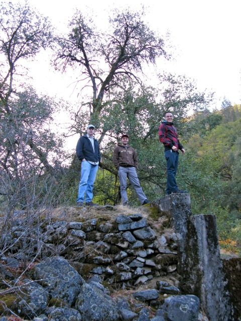
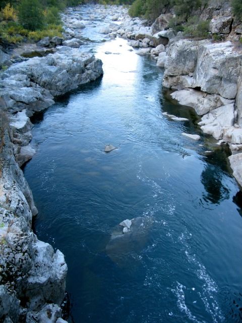
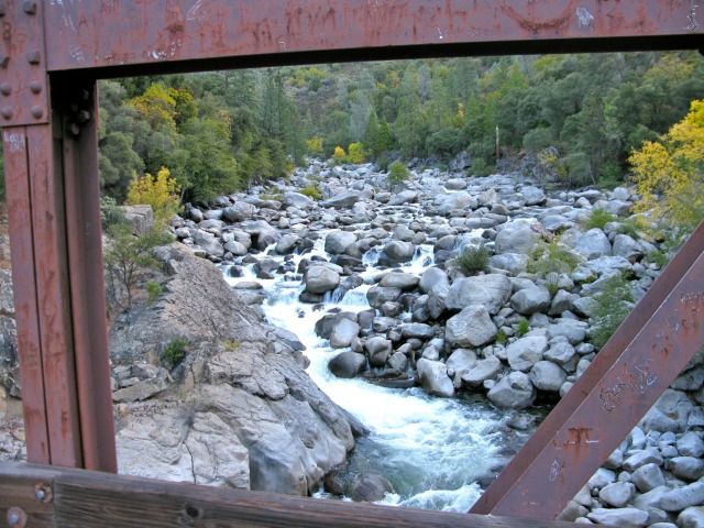
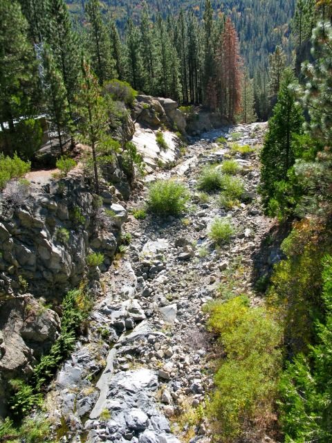
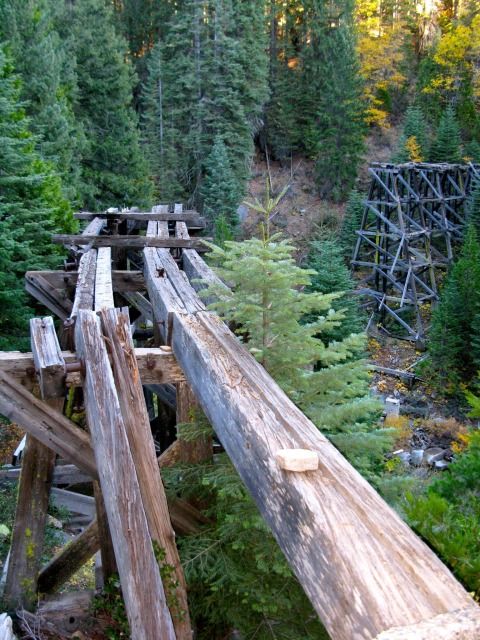
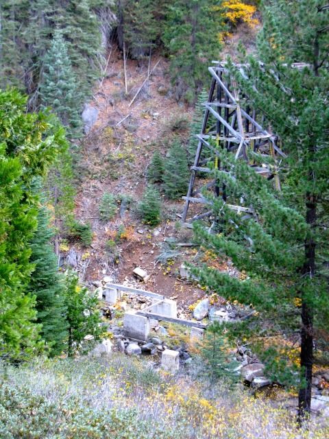
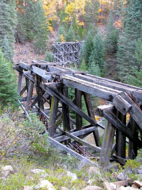
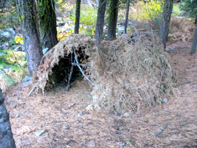
Checking out the remains of an old bridge that once existed:
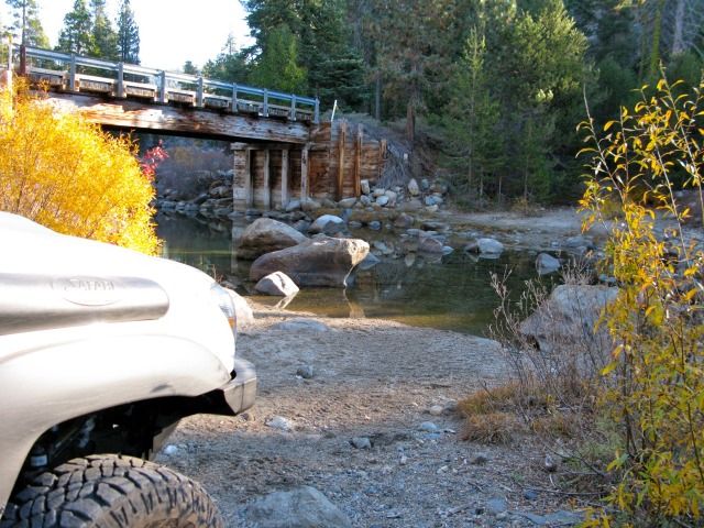
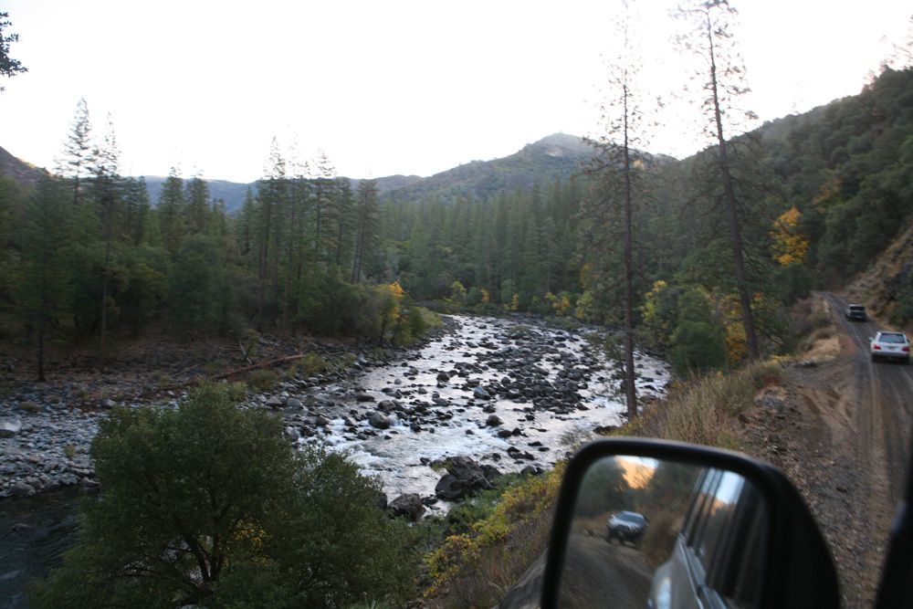
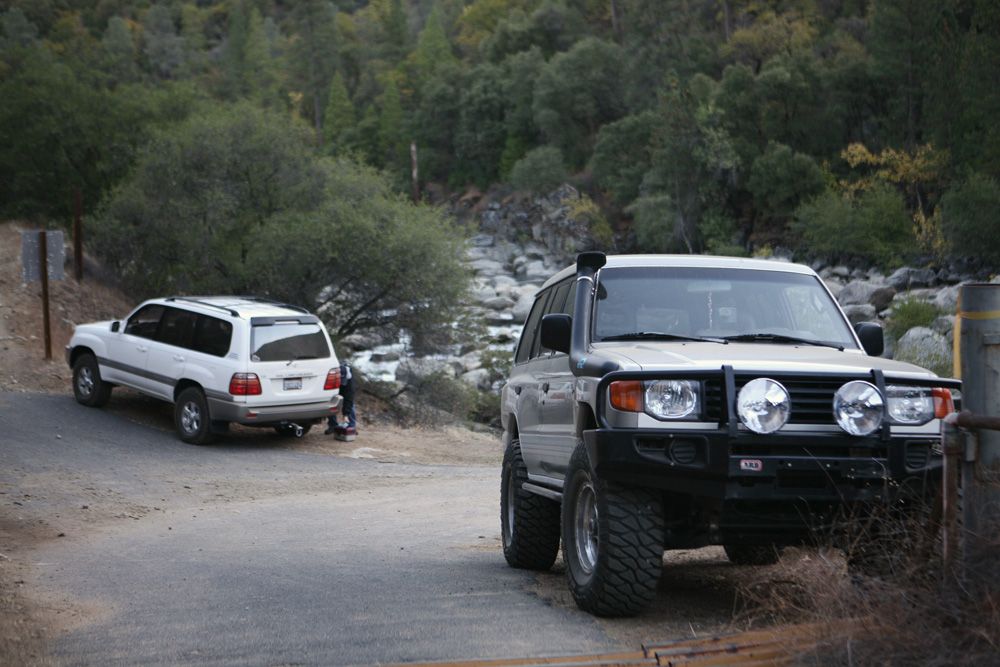
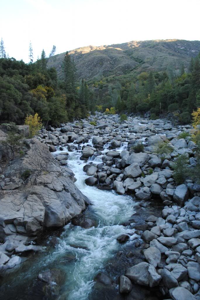
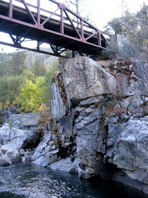
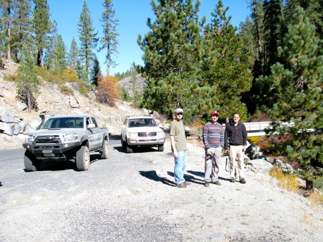
We stopped at the Lumsden Bridge area:
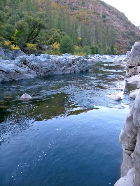
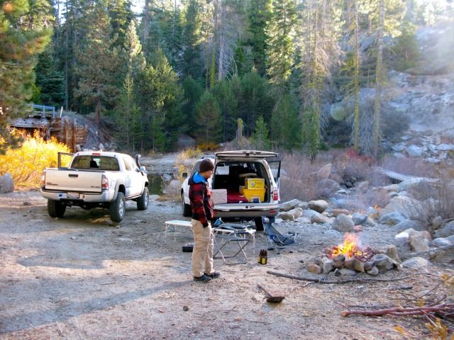
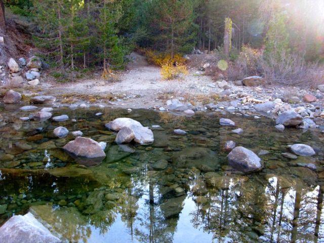
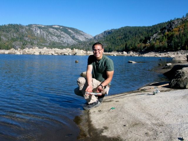
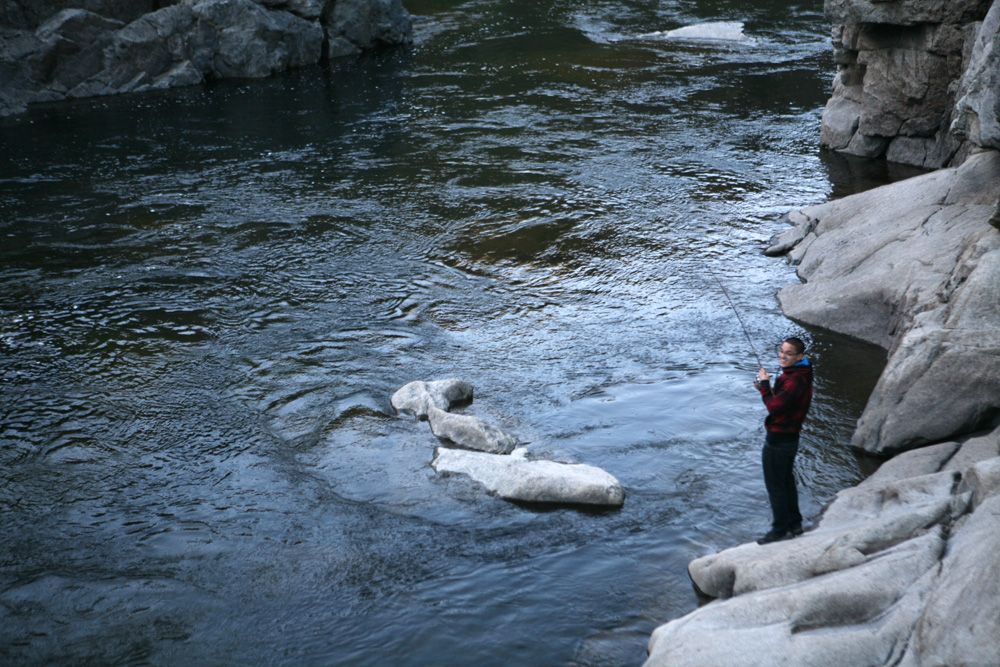
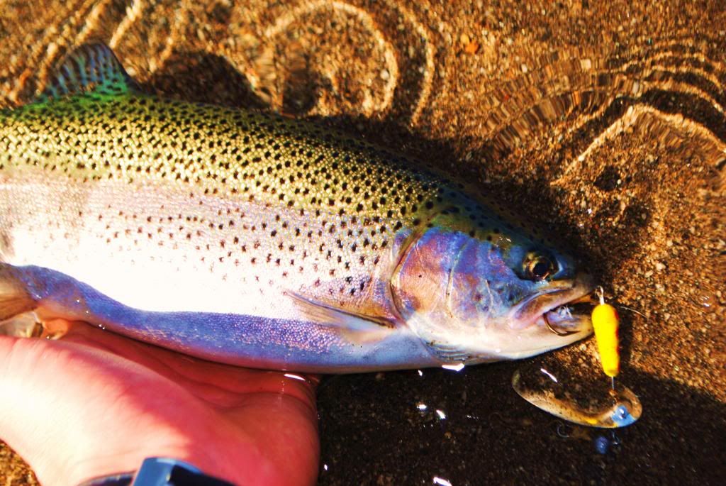
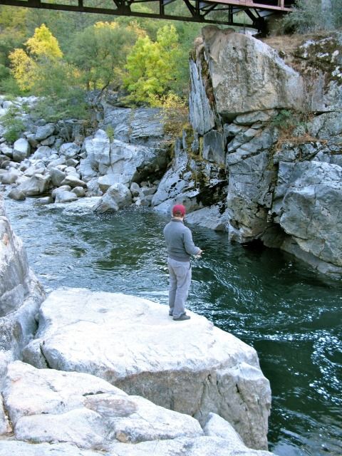
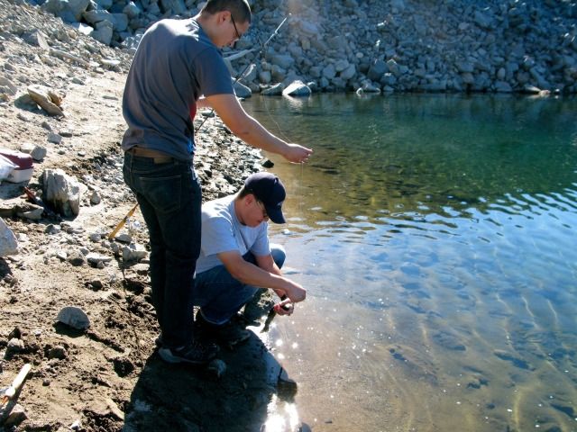
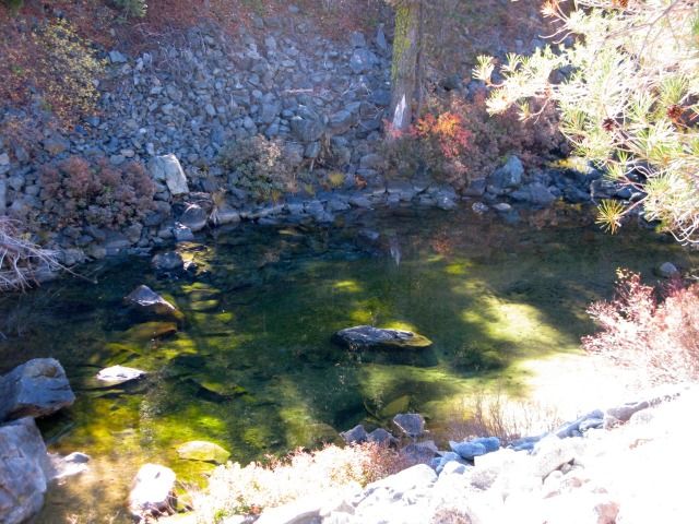
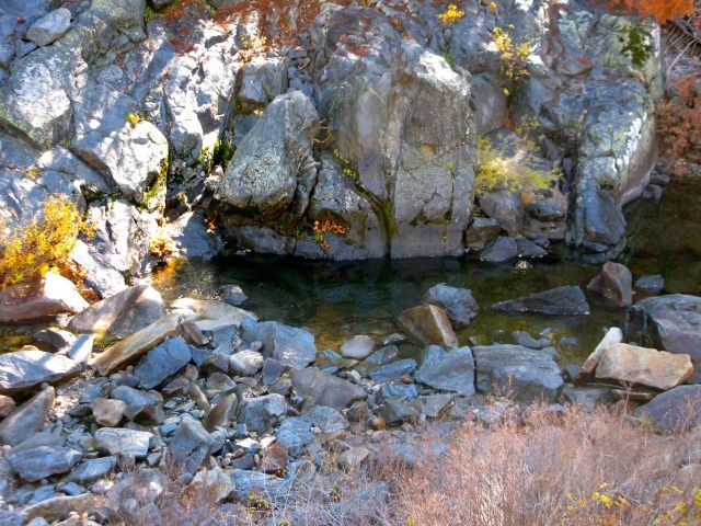
First attempt at fishing (no luck at this location):
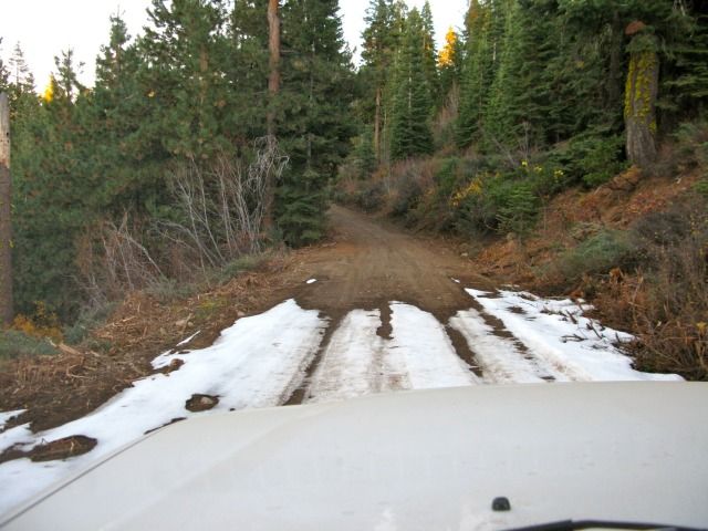
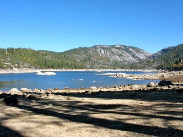
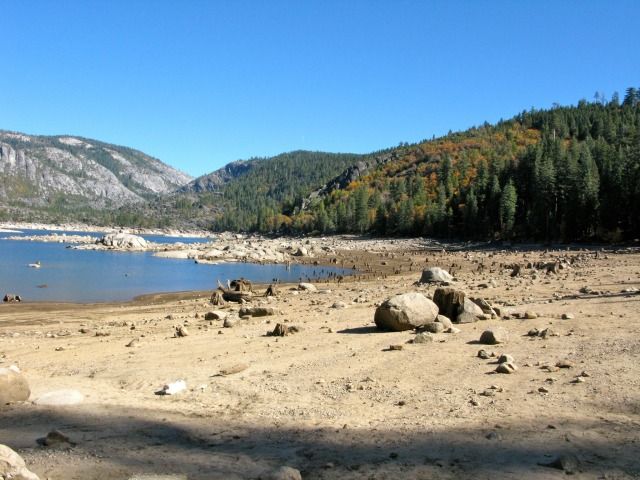
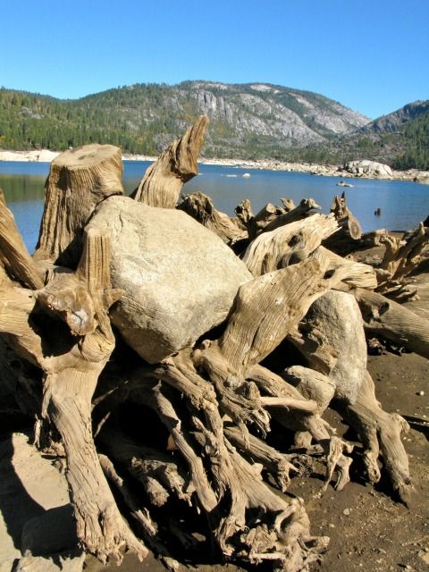
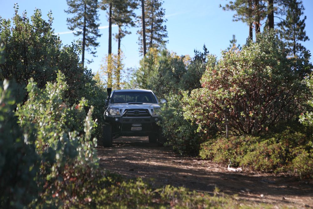
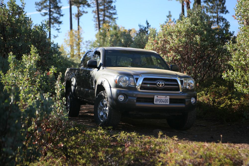
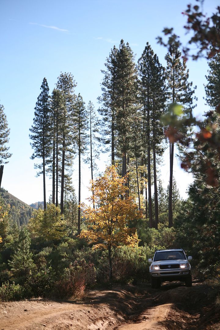
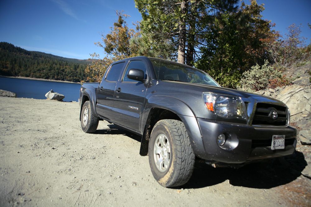
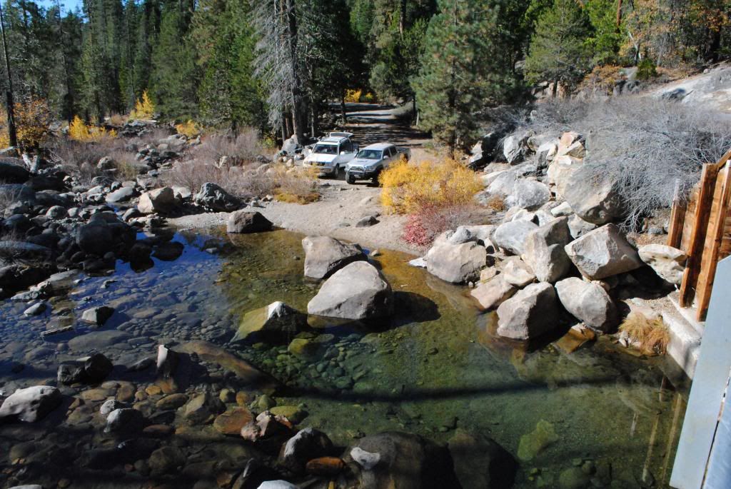
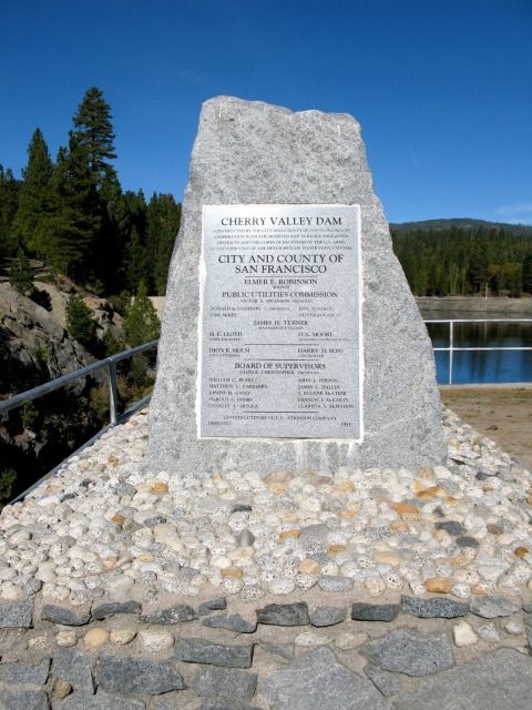
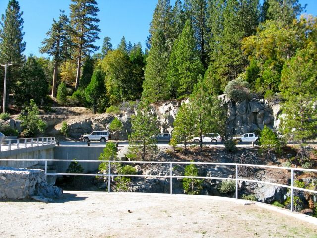
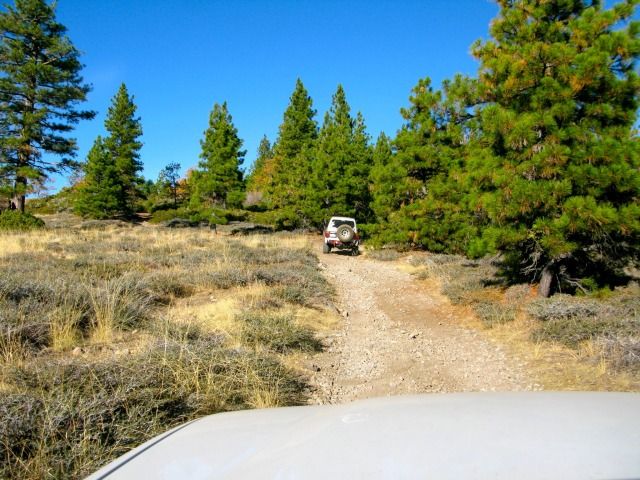
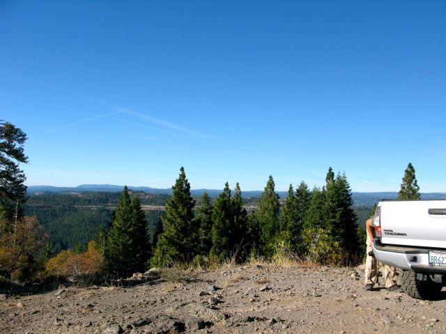
We then proceeded north-east to Cherry Lake:
We were initially hoping to explore the Blue Lakes area (south of Lake Tahoe), but due to the high number of potentially closed trails, we opted for "Plan B". The alternate plan was to explore the lower elevation areas (5000-6000 feet vs. 7000-8000 feet) of the Stanislaus National Forest. Either way, we wanted a location that wasn't too far from where we lived. In the course of 3-days, we covered over 100-miles of trails/dirt roads within the Stanislaus National Forest. We couldn't have asked for better weather conditions. The group got along well, caught some nice trout, ate great food, and drank Pacifico. We were fortunate to avoid any mechanical issues as well. What else could we have asked for?
Here's the breakdown of the trip:
Day 1 – 11/4/2012
After a hectic day (going to my kid's soccer game, shopping for supplies, getting stuff done around the house, and packing), I somehow managed to squeeze in 1.5 hours of sleep before leaving for this trip. The weather forecast for the next few days was very good… almost too nice for a November. We departed the SF Bay Area at around 0430 hours. We caravanned east towards the town of Groveland, CA. Since eurosonic was coming from Sacramento, he had agreed to meet us at the ranger station in Groveland. About an hour and a half into the drive, a nicely outfitted Montero pulled out ahead of us. I called eurosonic to see is that was him in front of us… sure enough, it was him! Talk about good timing! The 4 of us then proceeded east into the town of Groveland to the trail head off of Ferretti Rd. Once we reached the trailhead, we aired down and proceeded east on 1N70 along the south fork of the Tuolume River.
Checking out the remains of an old bridge that once existed:
We stopped at the Lumsden Bridge area:
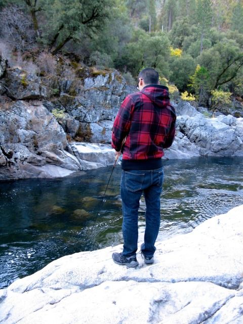
First attempt at fishing (no luck at this location):
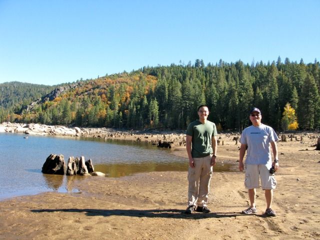
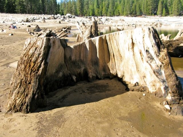
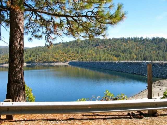
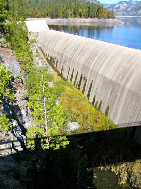
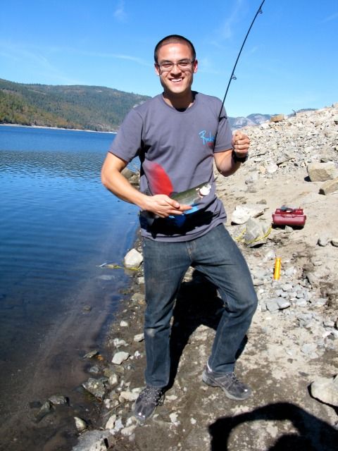
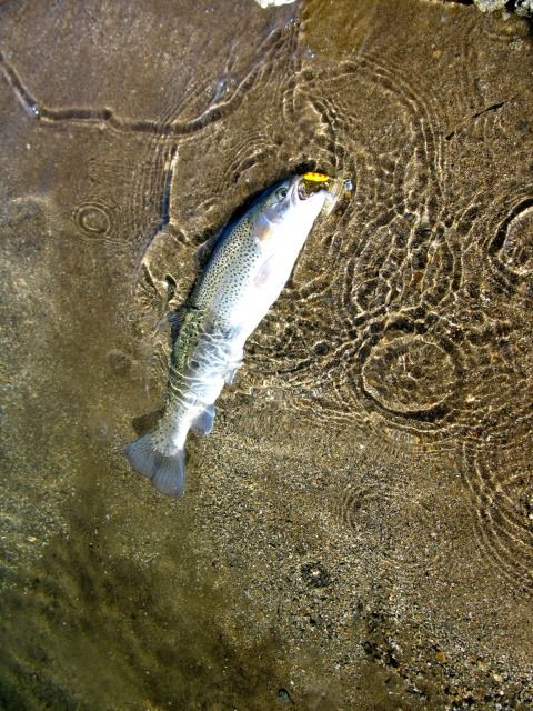
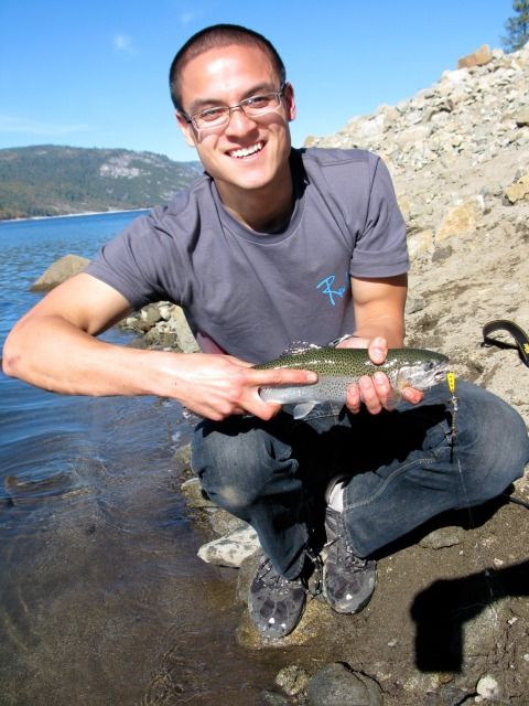
We then proceeded north-east to Cherry Lake:
Last edited:


")