gm13
Adventurer
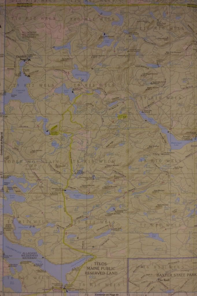
Just a short solo trip to see a new area and revisit a favorite. Cliff Lake looked appealing on the map for some reason, and Friday proved it to be so. Saturday I headed over to N Round Pond campsite via an attempt at Spider Lake along a tertiary road. 450mi round trip, 240 of those on pavement. 13 hr drive time and about 25.5mpg from the 200Tdi.
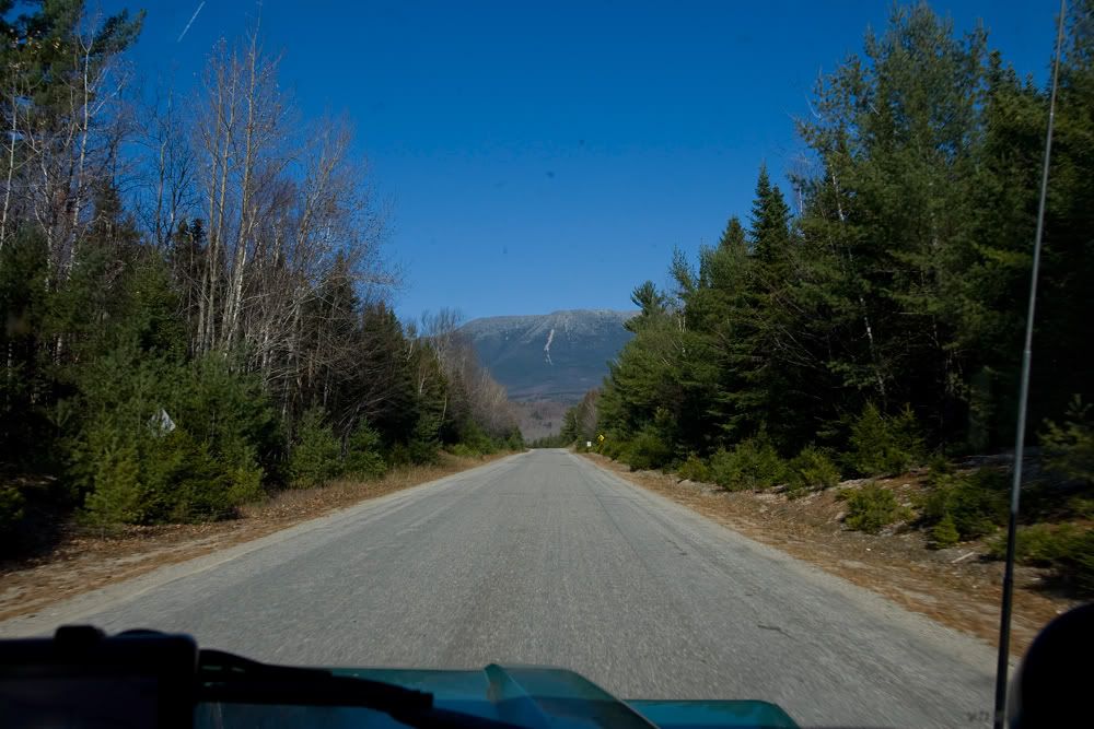
Heading out of Millinocket, picking up the State road towards Baxter and Katahdin:
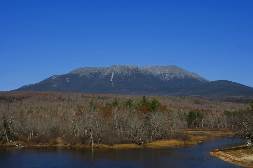
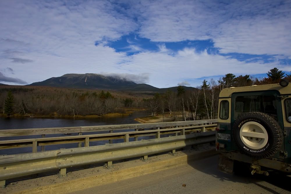
Katahdin from the Abol Bridge over the Penobscot:
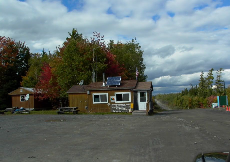
Picking up the Telos rd Passing through the Telos checkpoint(from a previous trip)
Crossing the Chamberlain bridge looking S towards Baxter SP
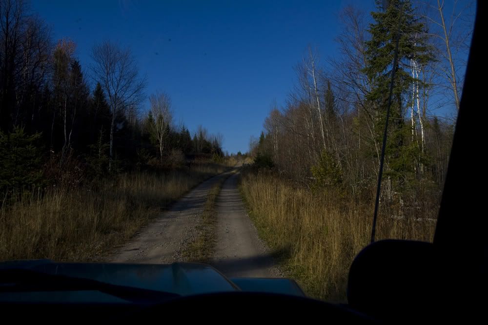
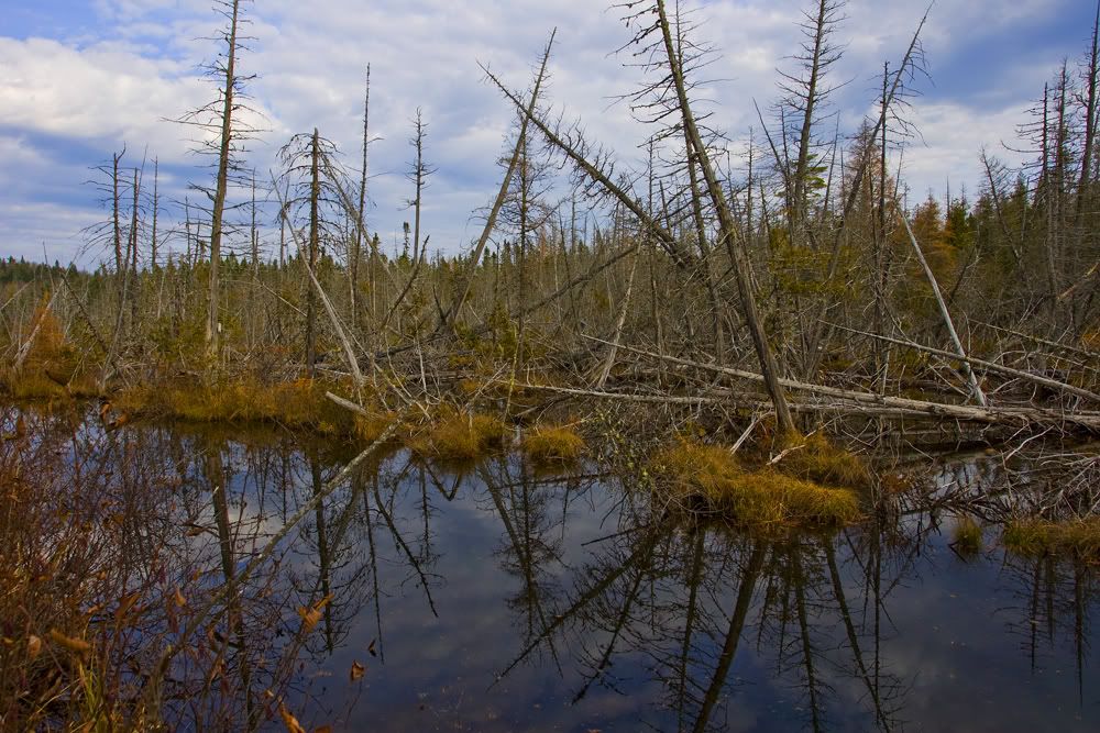
Continuing along Telos around the Arm of Chamberlain up to the Queen Bee Bypass, a 2-track in decent shape
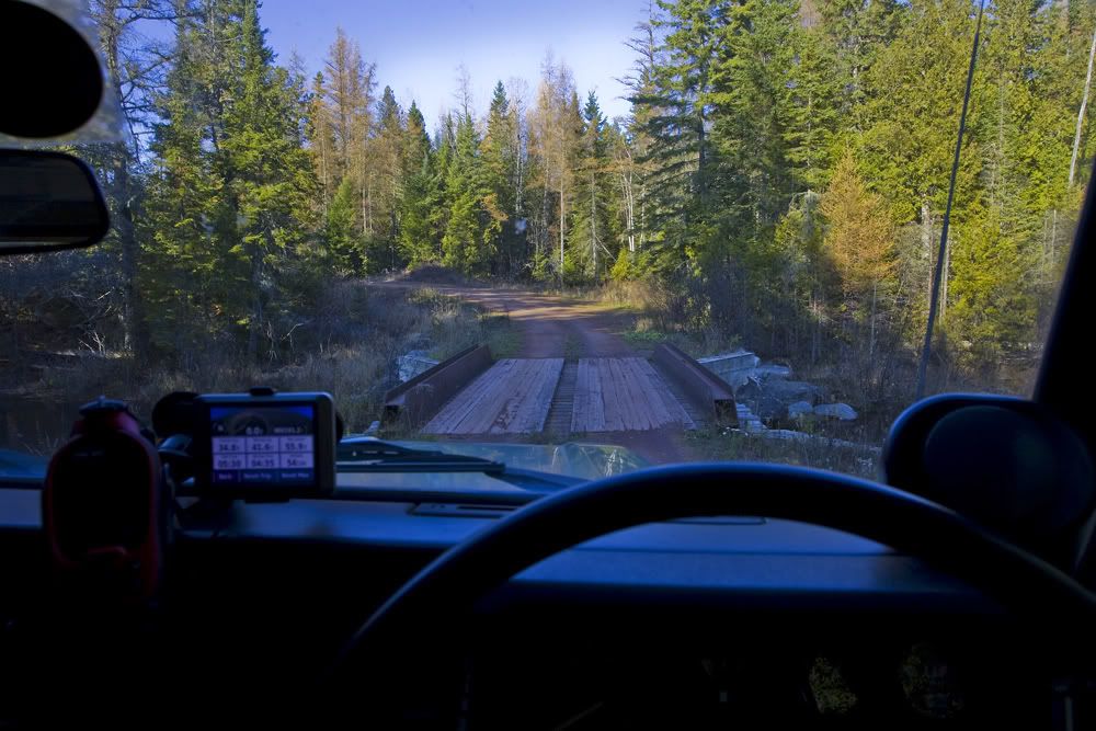
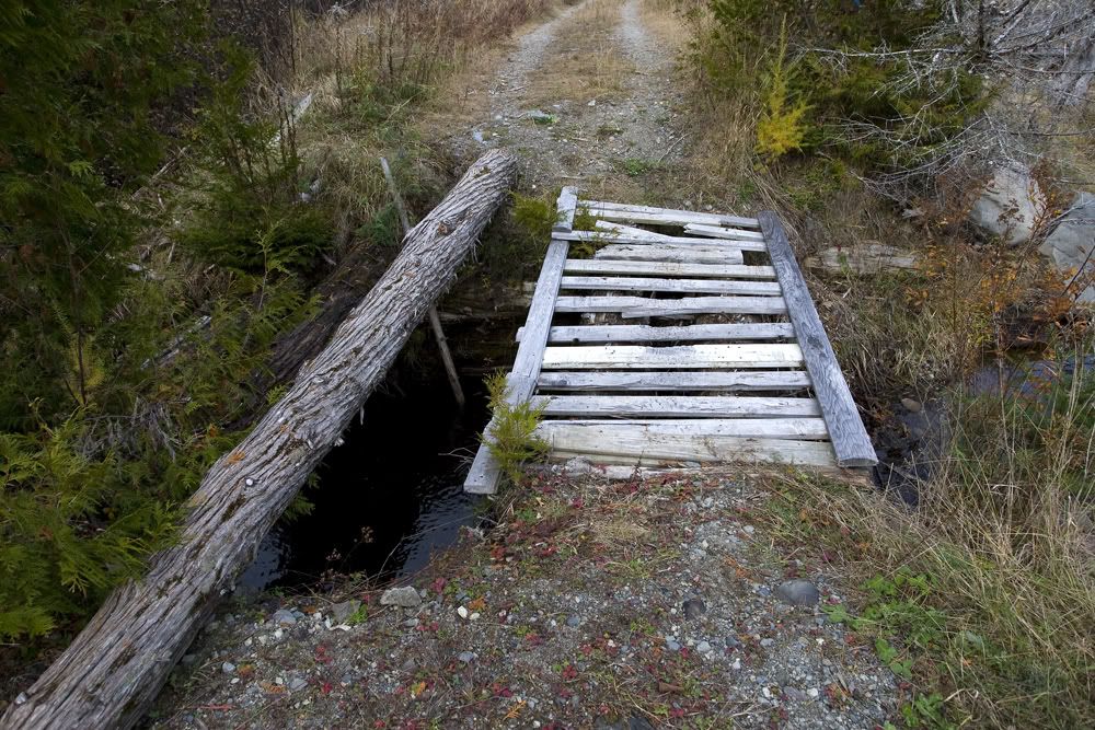
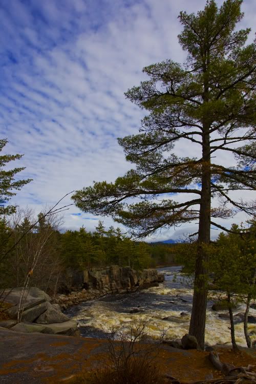
Over the S or N branch of the Soper Brook:
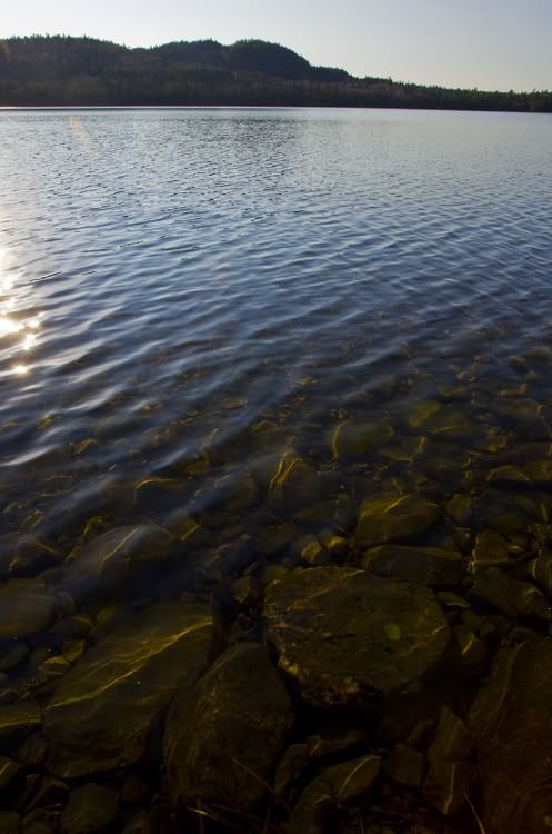
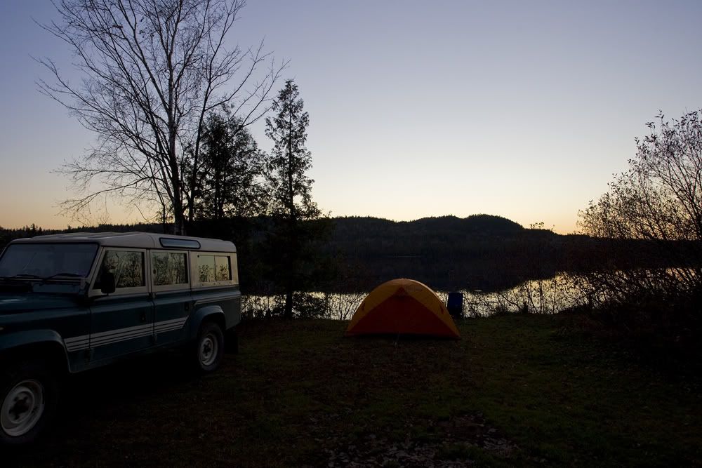
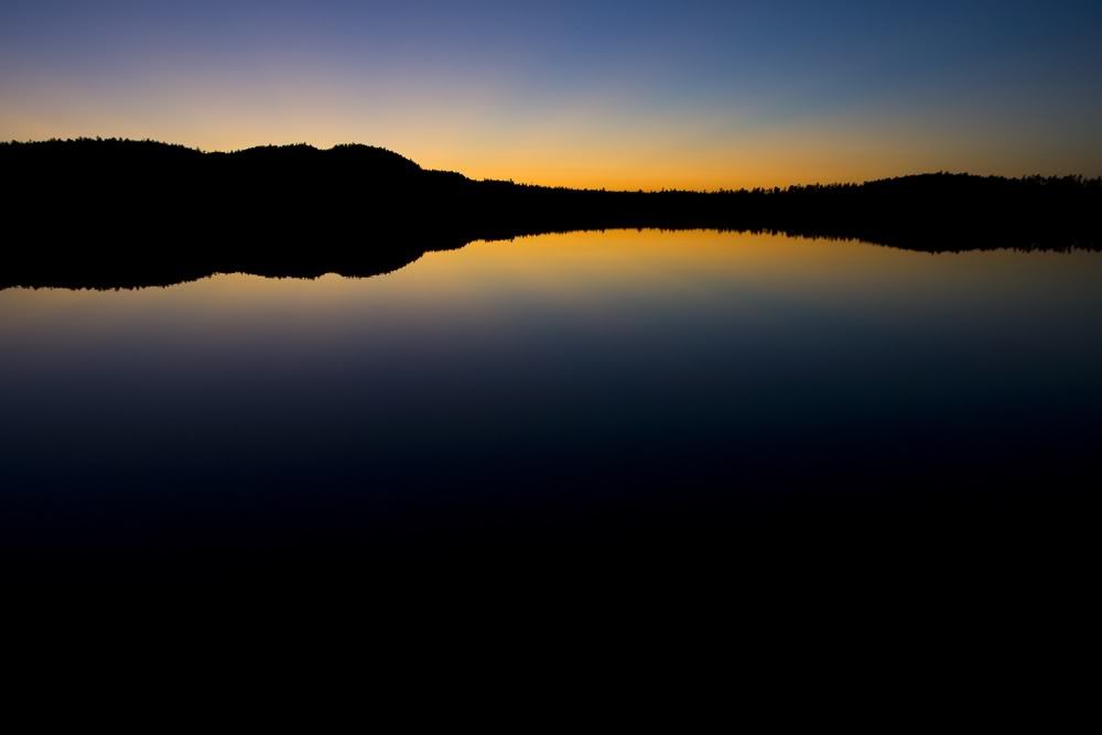
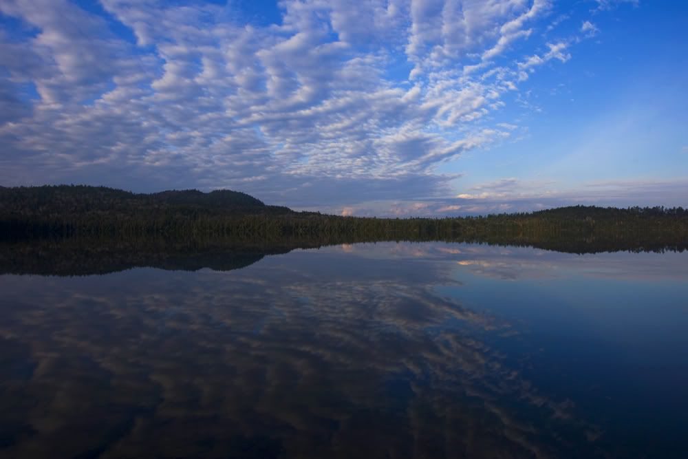
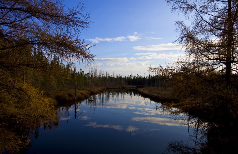
And down to the lake
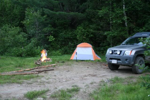
Set up camp
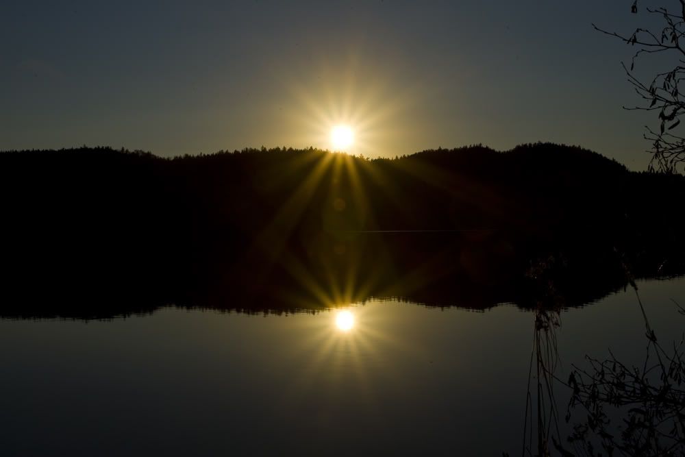
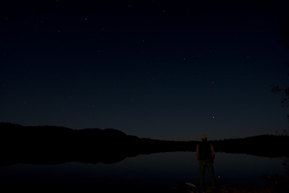
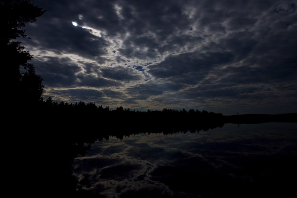
Near the full Moon, no fire, just enjoyed the quiet, the Great Horned owls calling across the lake and the stars:
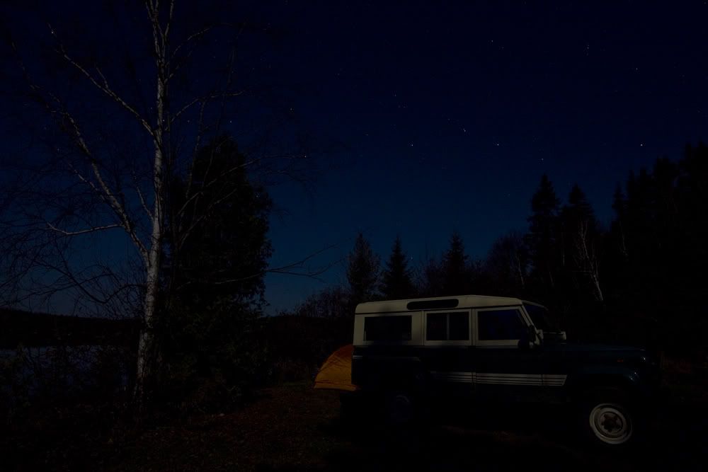
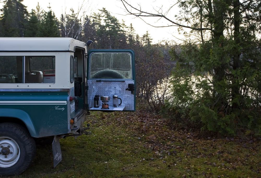
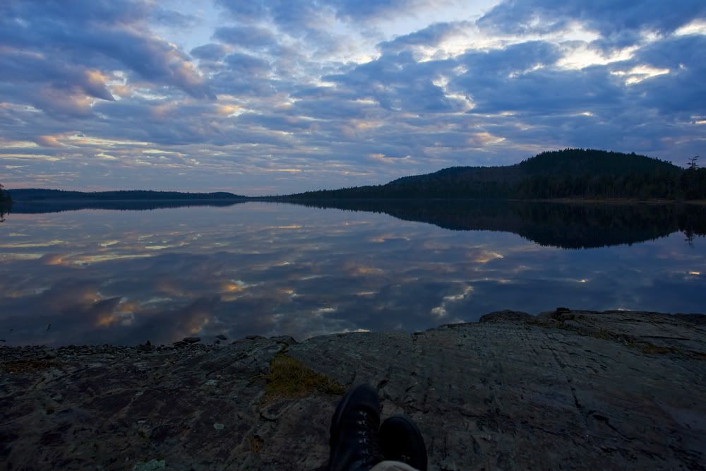
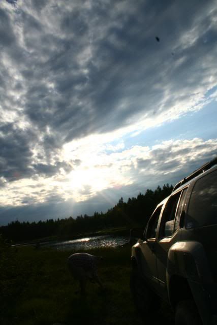
Coyotes were howling and yiping through the night, which got down to about 32f. Morning coffee to fend off the chill:
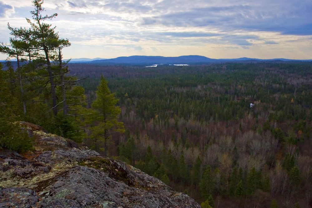
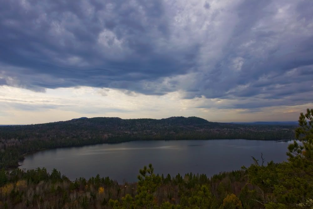
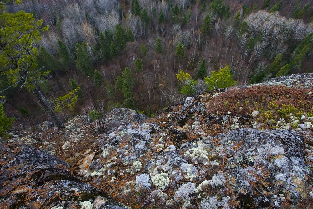
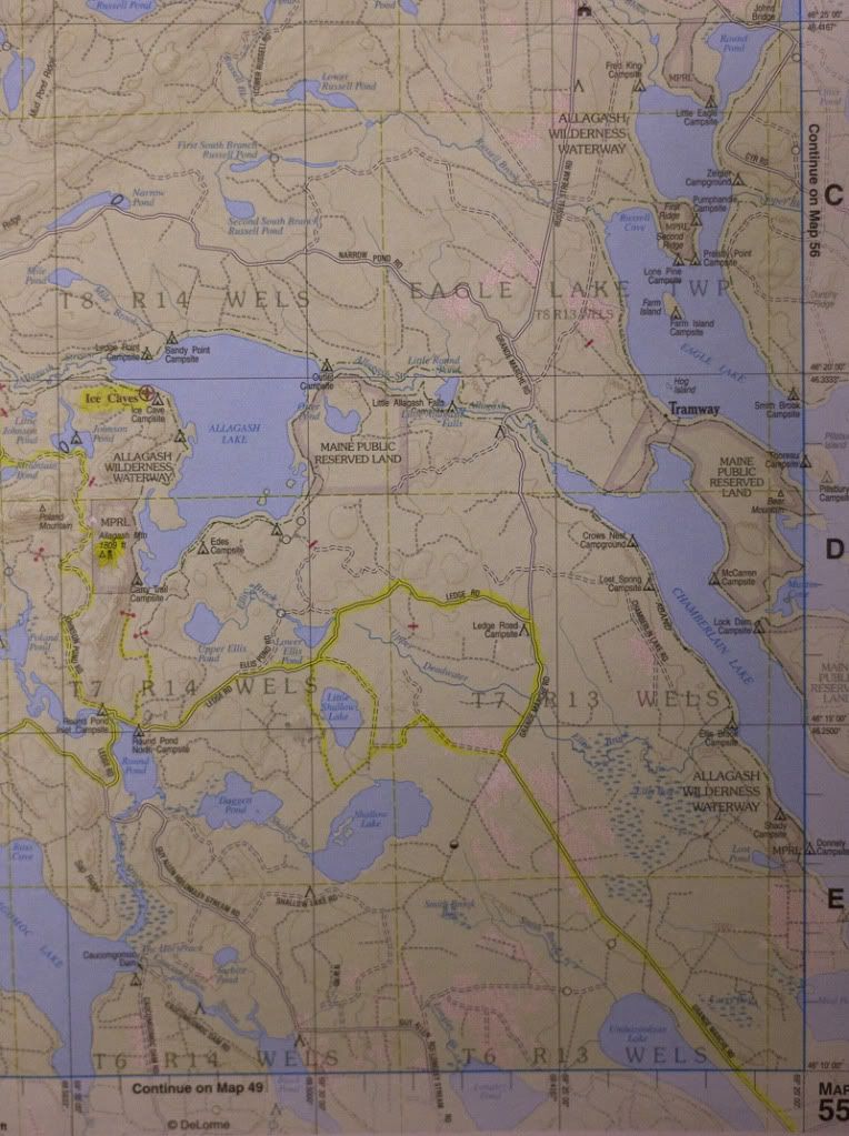
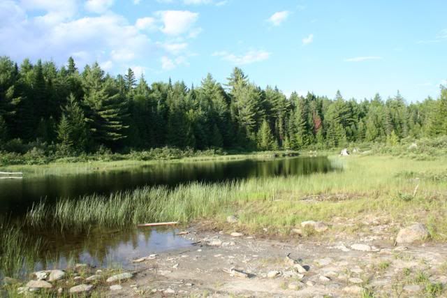
Bushwacked up to the namesake of the lake:
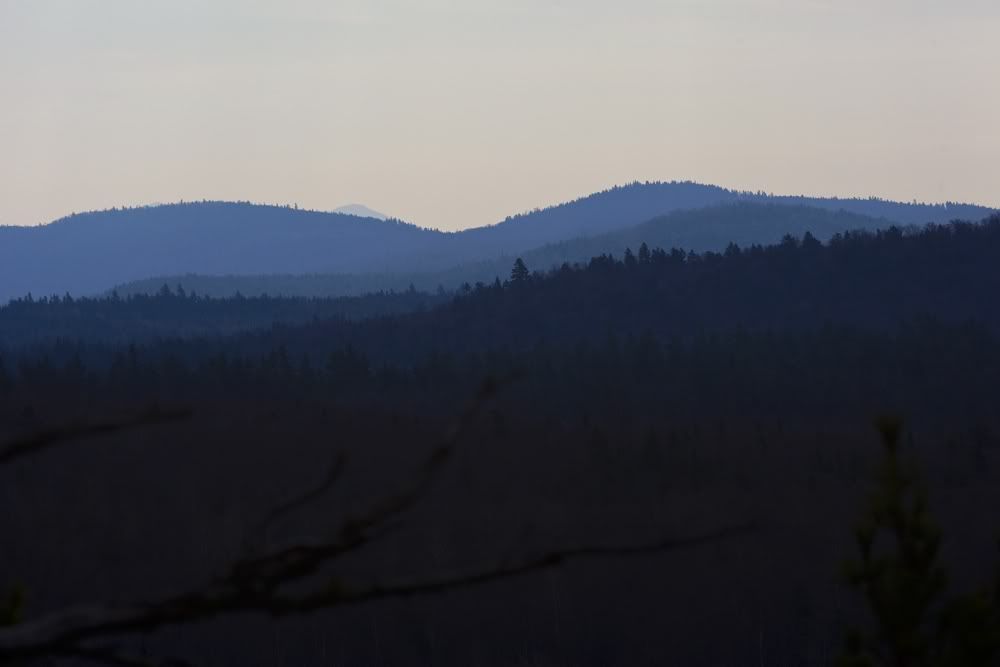
The white speck just left of center, bottom is the roof of the 110
After a quick lunch and more coffee for me and 2oz of transmission fluid for the Rover we head for Spider lake via an improbable route given the bridge out icon on the map but I thought I'd take a look anyway.
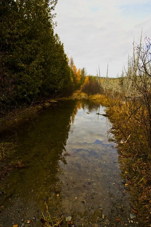
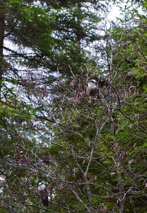
Greeted by a curious trio of Gray Jays when I got out to size up some flooded road:
No reason to get Camel Trophyish, back out the way I came in.
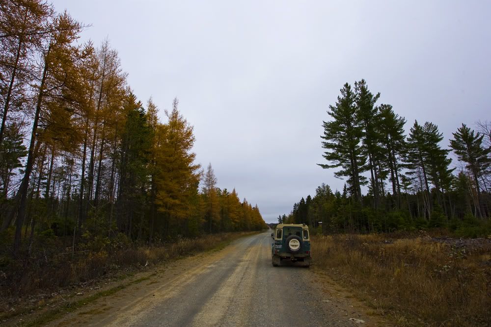
After another attempted route failure due to it not being there anymore I head back out the Queen Bee, down around the S end of Chamberlain and up to Round Pond via Grand Marche and an unnamed secondary and Ledge roads. The Dottie Brook I think:
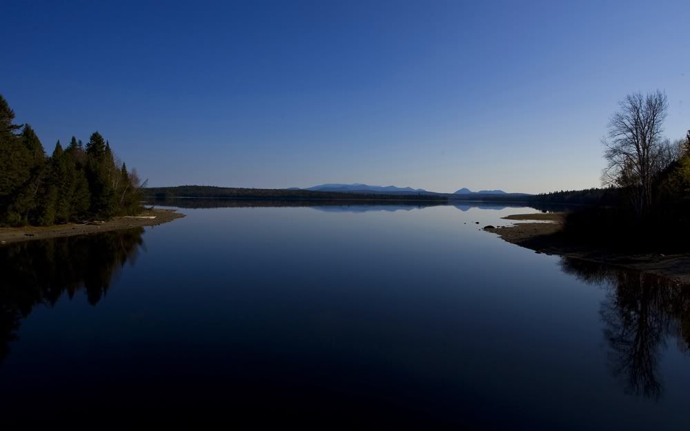
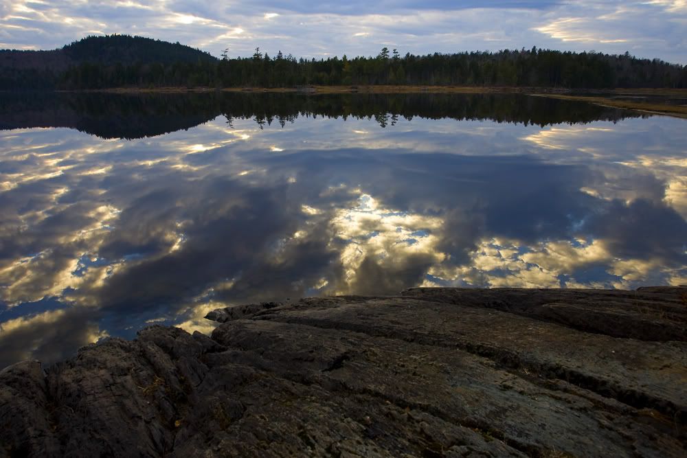
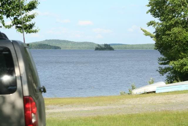
N Round Pond
With an Allagash Tripel in hand:
Heading out of Millinocket, picking up the State road towards Baxter and Katahdin:
Katahdin from the Abol Bridge over the Penobscot:
Picking up the Telos rd Passing through the Telos checkpoint(from a previous trip)
Crossing the Chamberlain bridge looking S towards Baxter SP
Continuing along Telos around the Arm of Chamberlain up to the Queen Bee Bypass, a 2-track in decent shape
Over the S or N branch of the Soper Brook:
And down to the lake
Set up camp
Near the full Moon, no fire, just enjoyed the quiet, the Great Horned owls calling across the lake and the stars:
Coyotes were howling and yiping through the night, which got down to about 32f. Morning coffee to fend off the chill:
Bushwacked up to the namesake of the lake:
The white speck just left of center, bottom is the roof of the 110
After a quick lunch and more coffee for me and 2oz of transmission fluid for the Rover we head for Spider lake via an improbable route given the bridge out icon on the map but I thought I'd take a look anyway.
Greeted by a curious trio of Gray Jays when I got out to size up some flooded road:
No reason to get Camel Trophyish, back out the way I came in.
After another attempted route failure due to it not being there anymore I head back out the Queen Bee, down around the S end of Chamberlain and up to Round Pond via Grand Marche and an unnamed secondary and Ledge roads. The Dottie Brook I think:
N Round Pond
With an Allagash Tripel in hand:
")