hatchcanyon
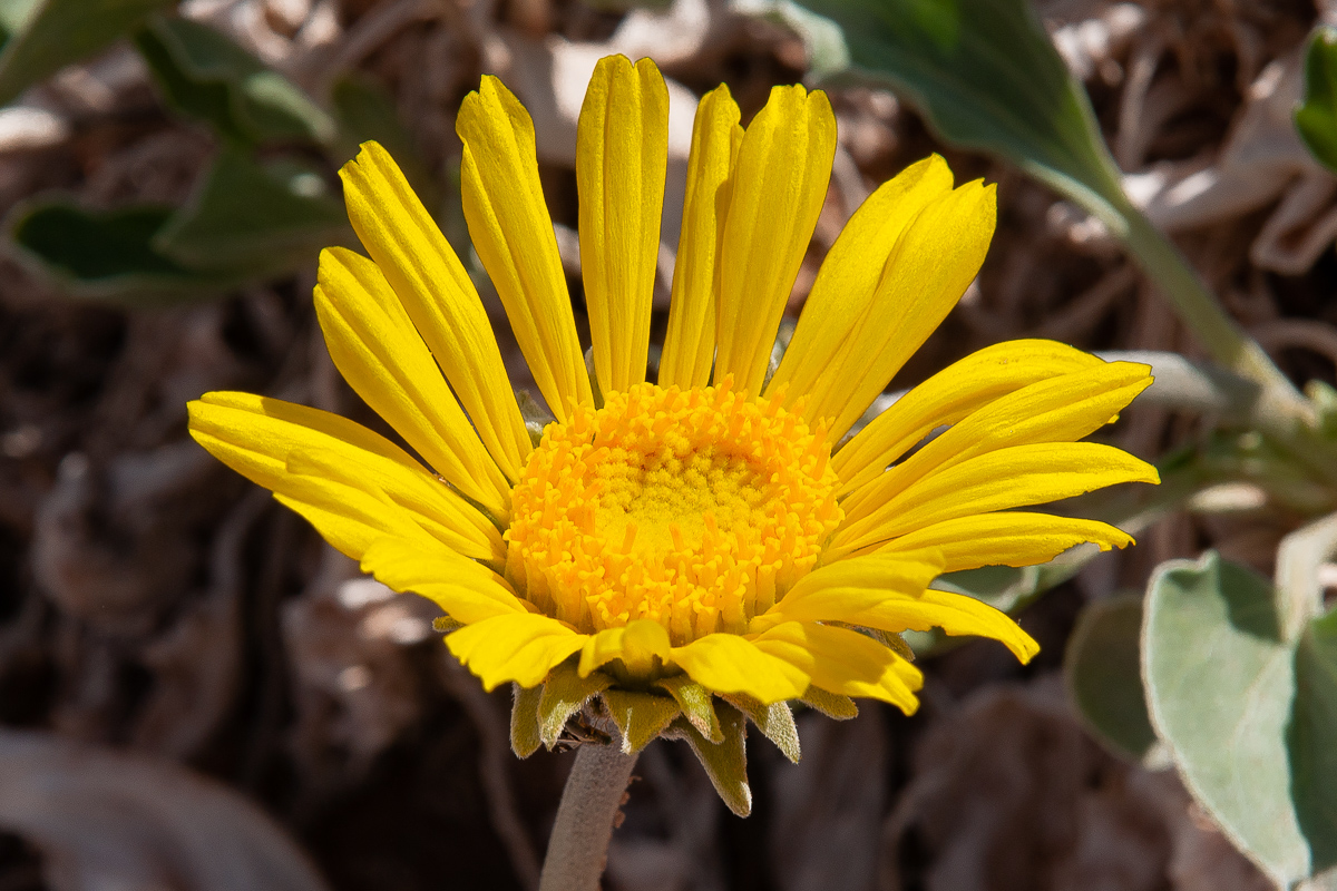
Lancisti
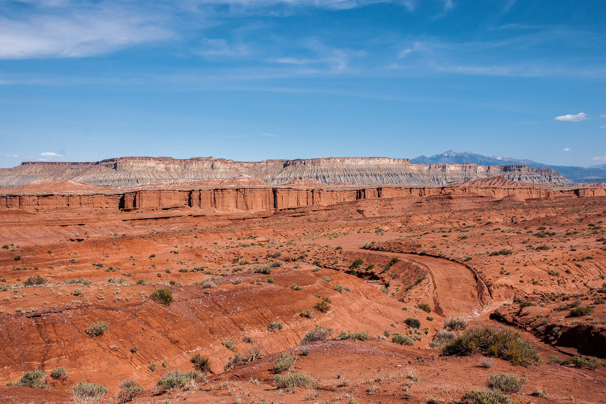
In May 2013 we visited the Caineville area, but had no concept what to see. We left UT 24 for Caineville Wash Road and suddenly there was a spur going away from the road. After a short distance there was some pavement in the middle of the Caineville Wash Valley. A Road? I doubt!
Length of pavement might be some 1,100 to 1,200 feet and it is not completely straight. Might this be an airstrip?
One end of the assumed airstrip
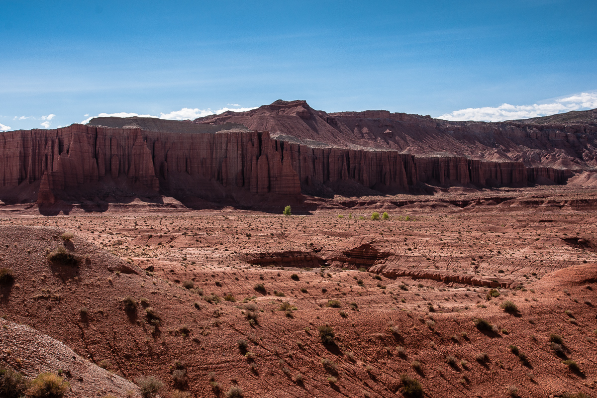
Nevertheless this was the wrong way. On the other end of pavement a spur let us across Caineville Wash and into a smaller colorful canyon with another wash. (We named it Red Desert Wash) It must have flown not that long ago. The bed was still moist. This canyon is short, the length of the pretty good road measures approximately 1,2 miles.
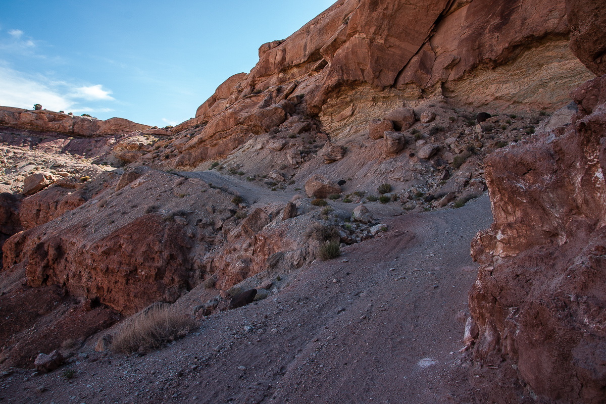
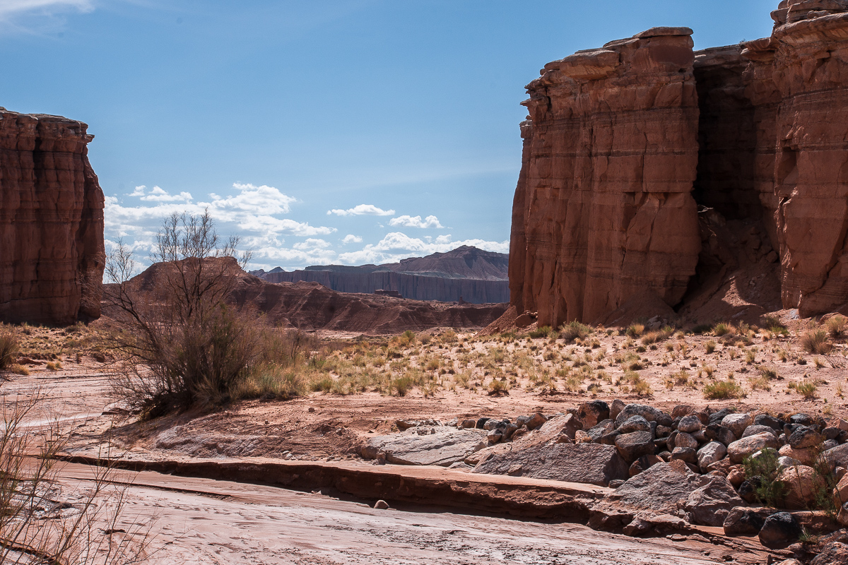
Entering the small canyon
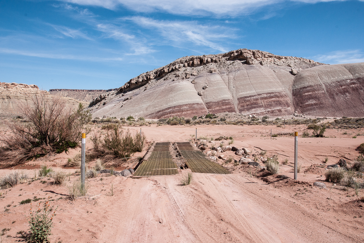
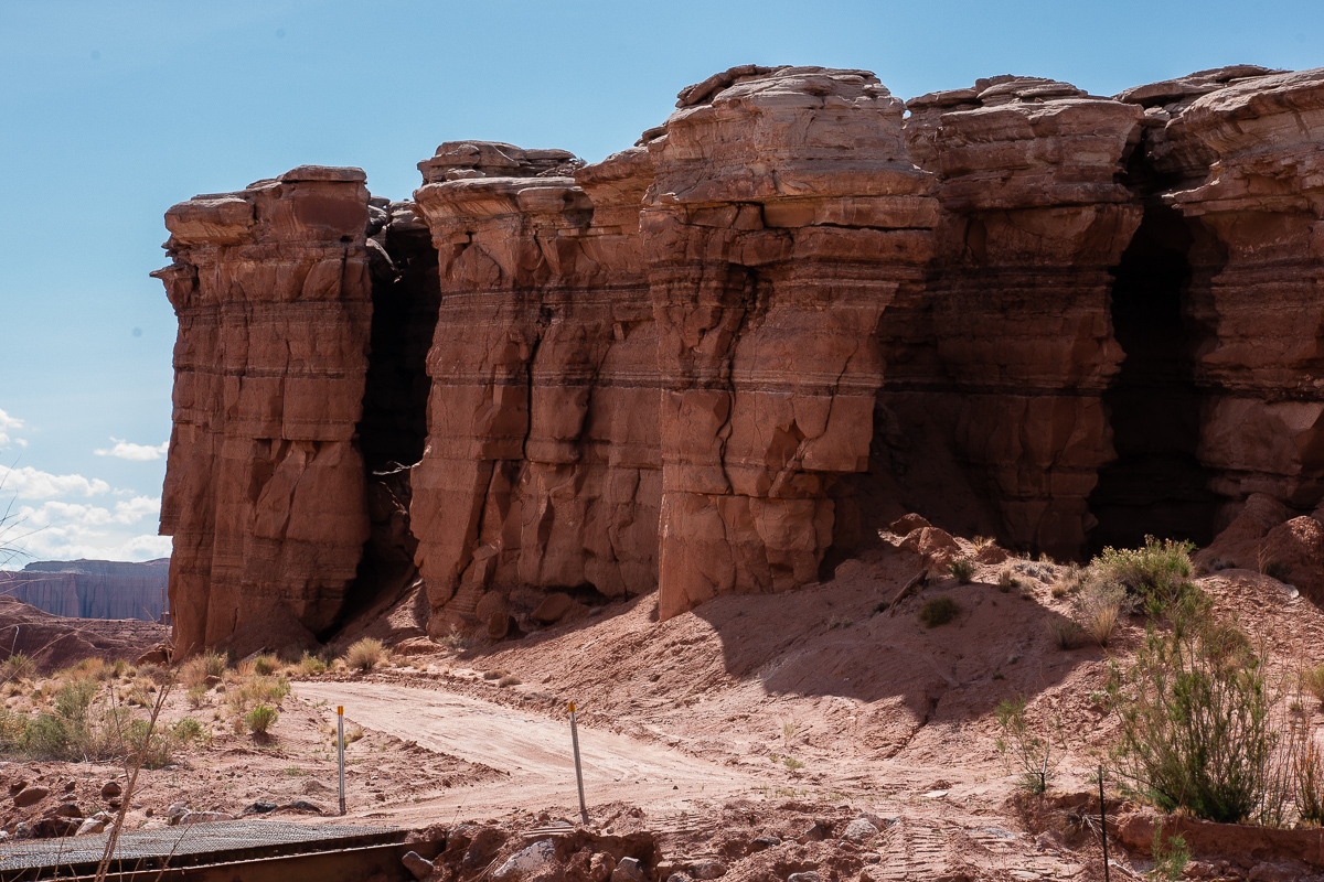
Improvement by pioneer bridges
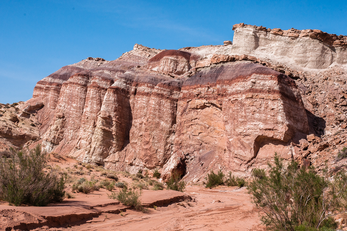
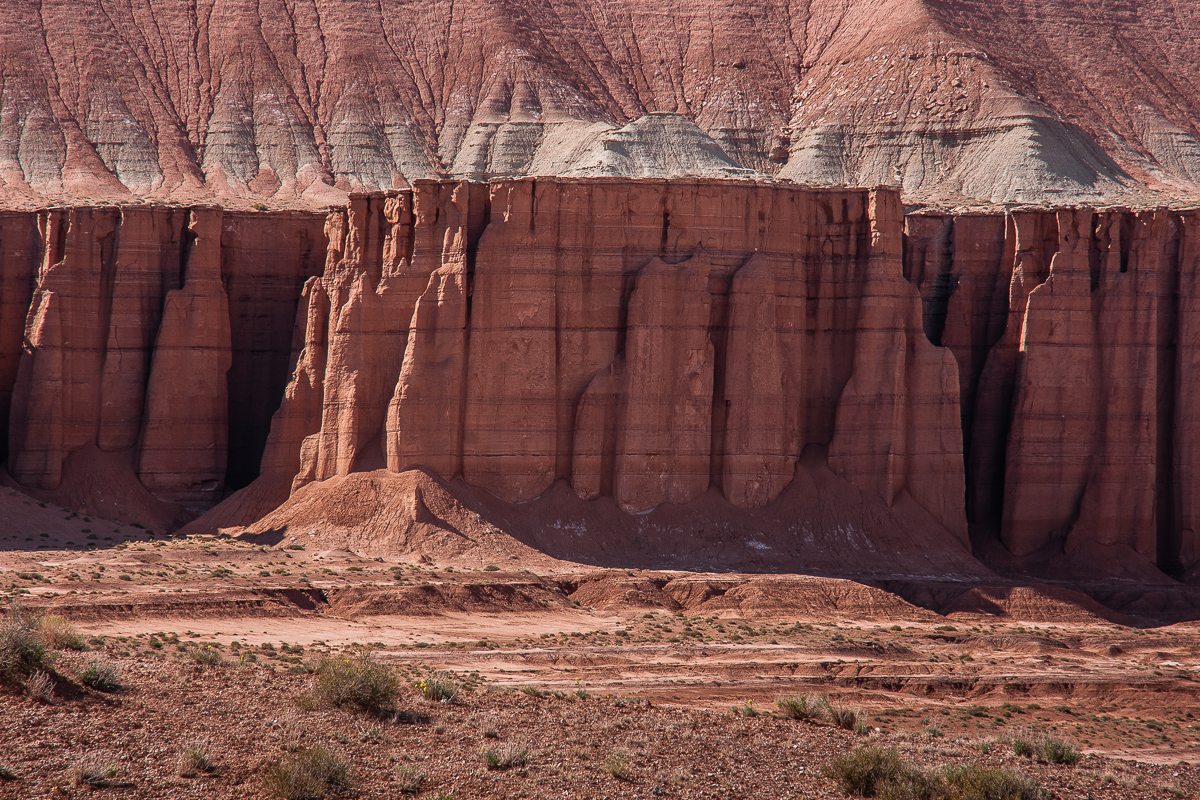
Wild and colored
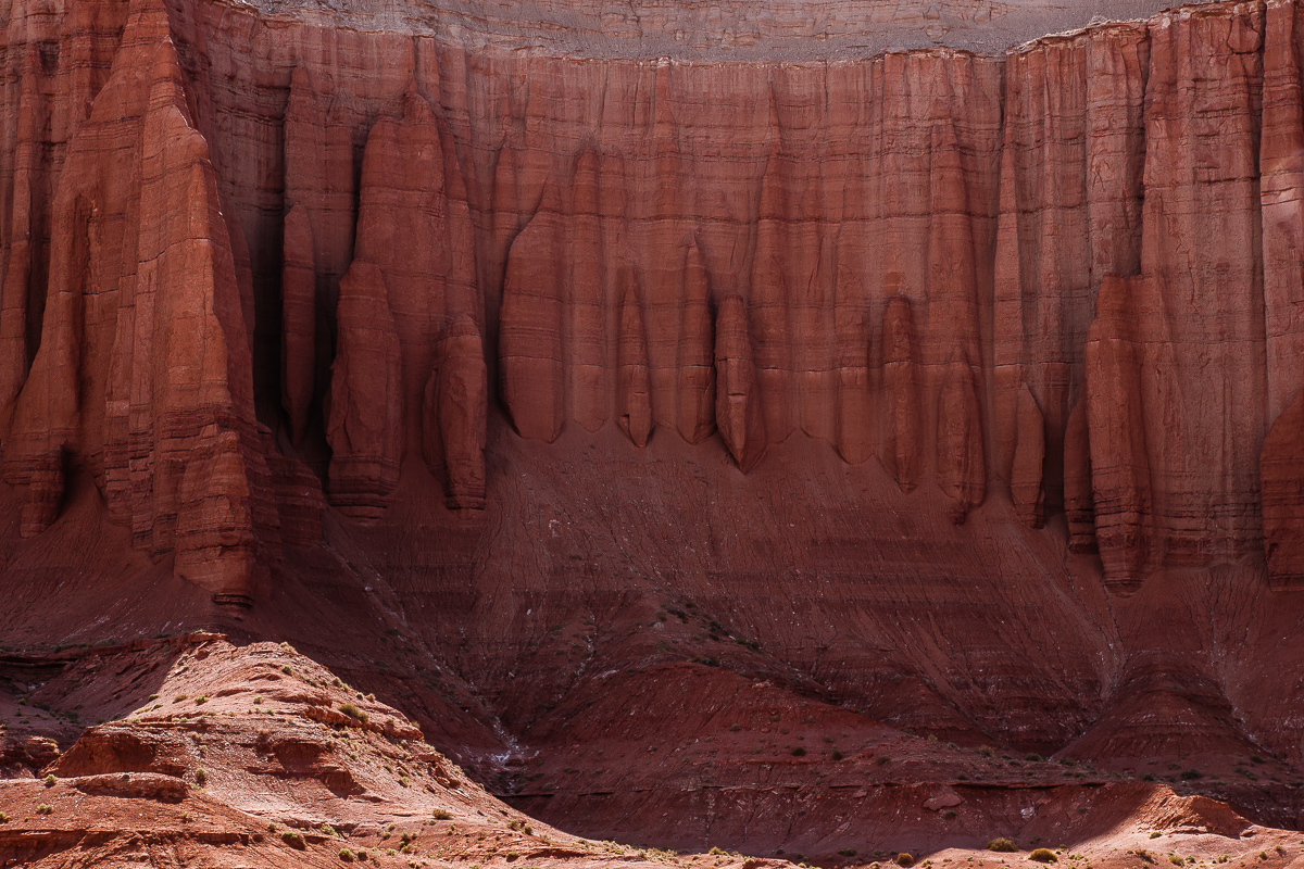
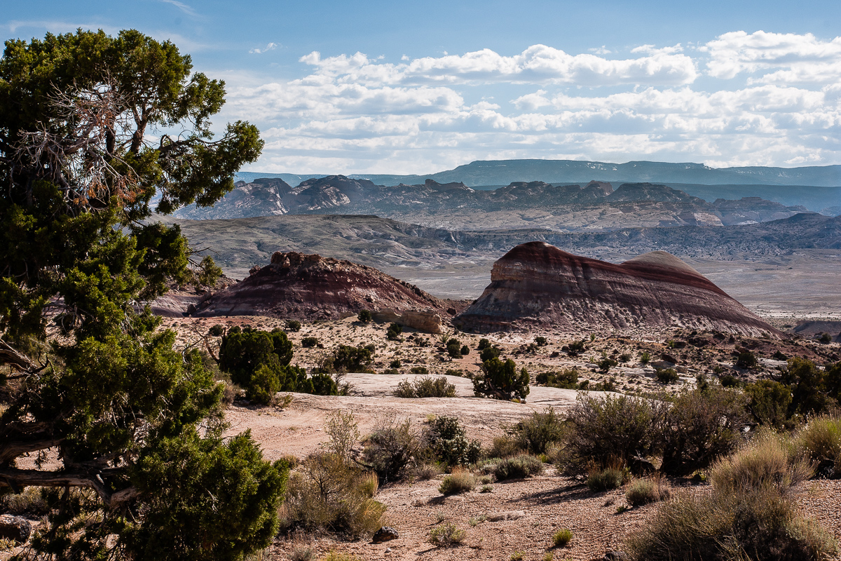
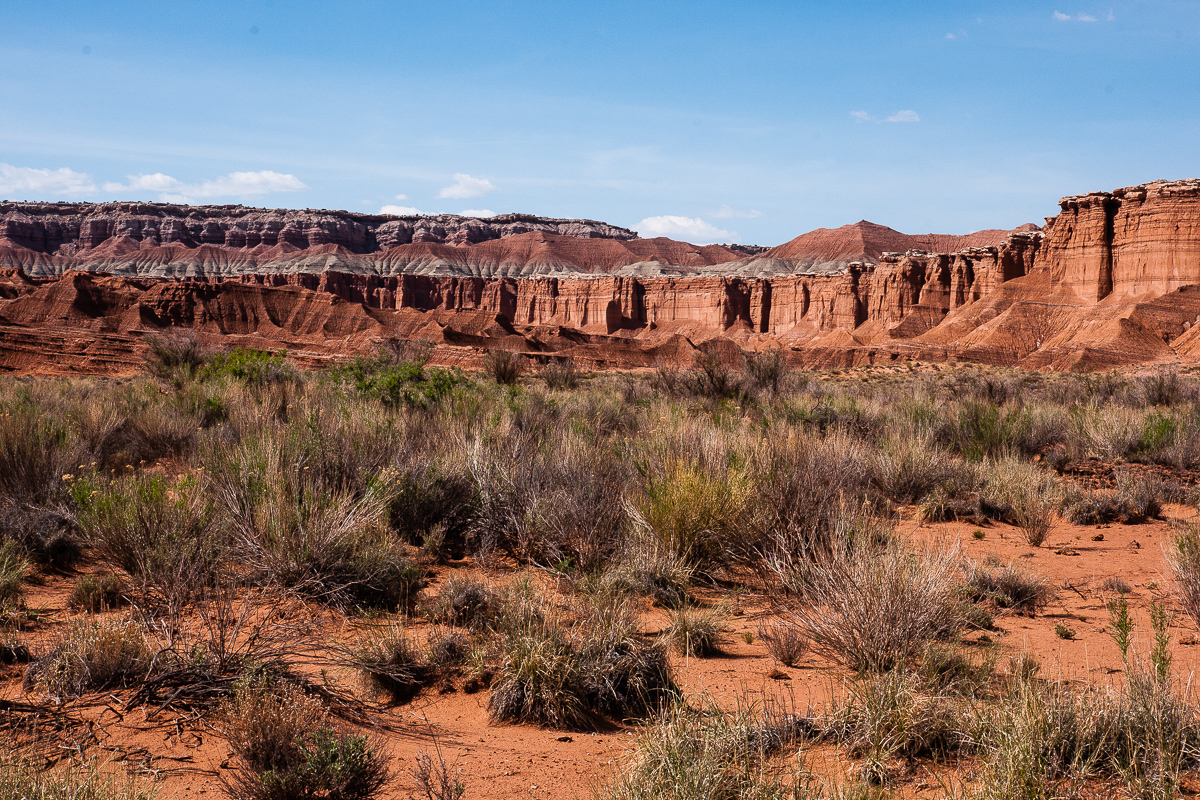
Within the canyon
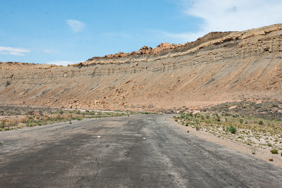
Angled strata ascending to the West
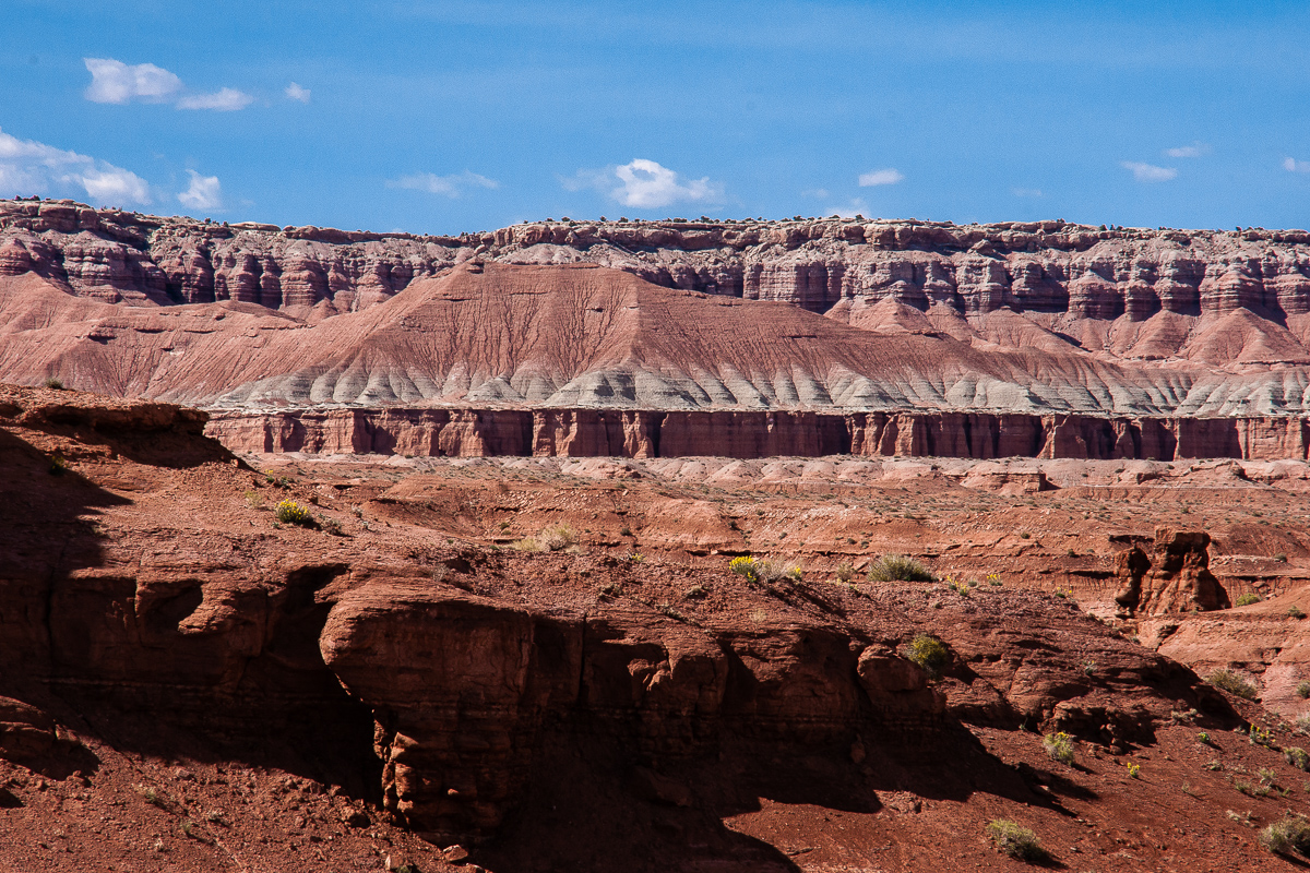
Looking back (east): banded Morrison Formation and Caineville Mesa in background
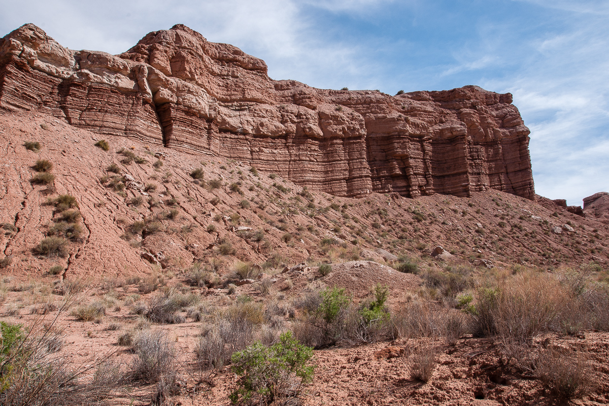
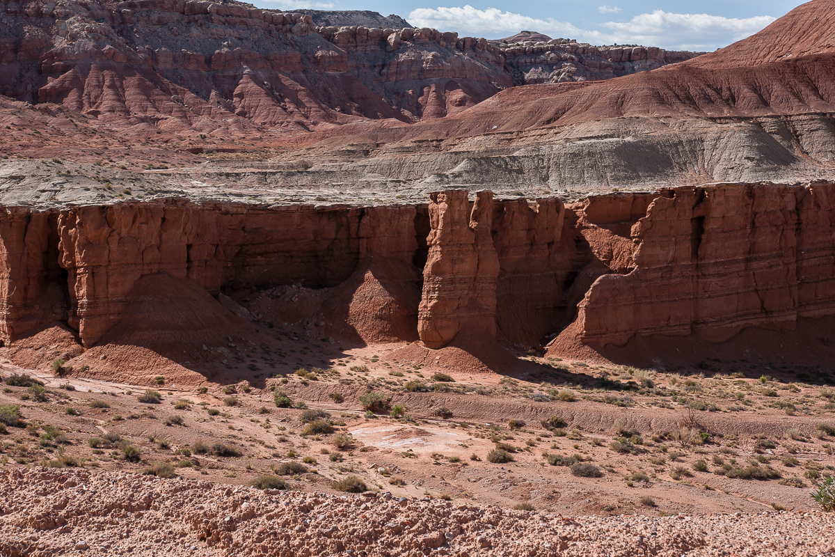
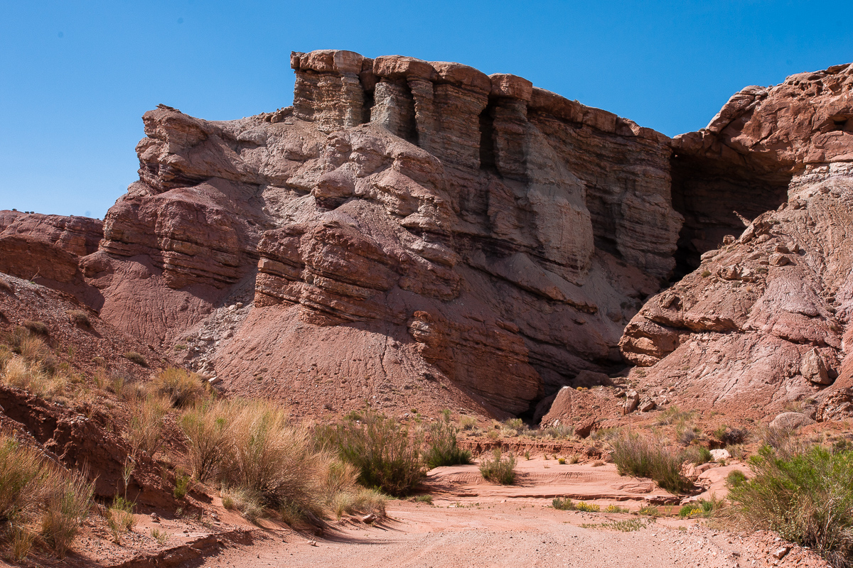
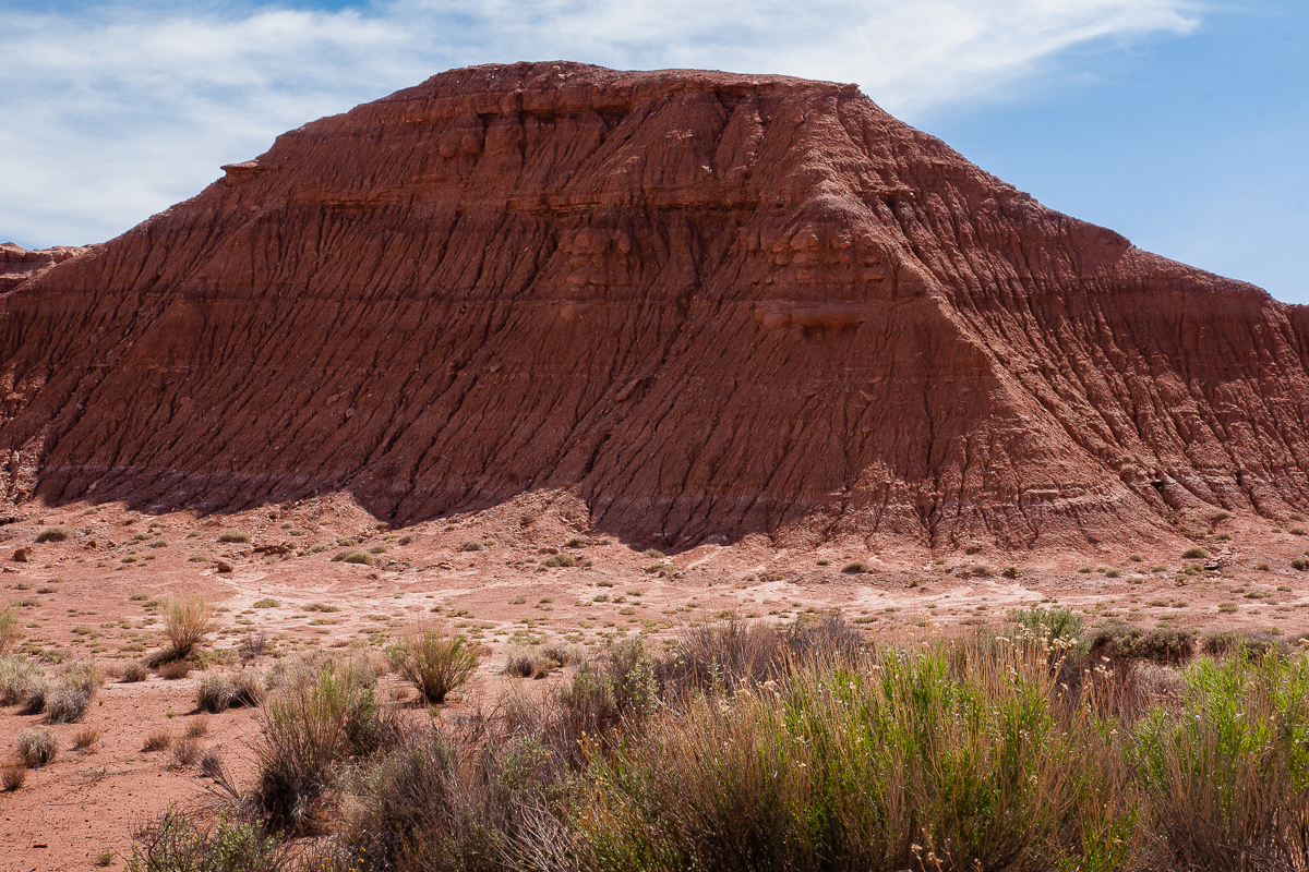
Next layer is Summerville Formation

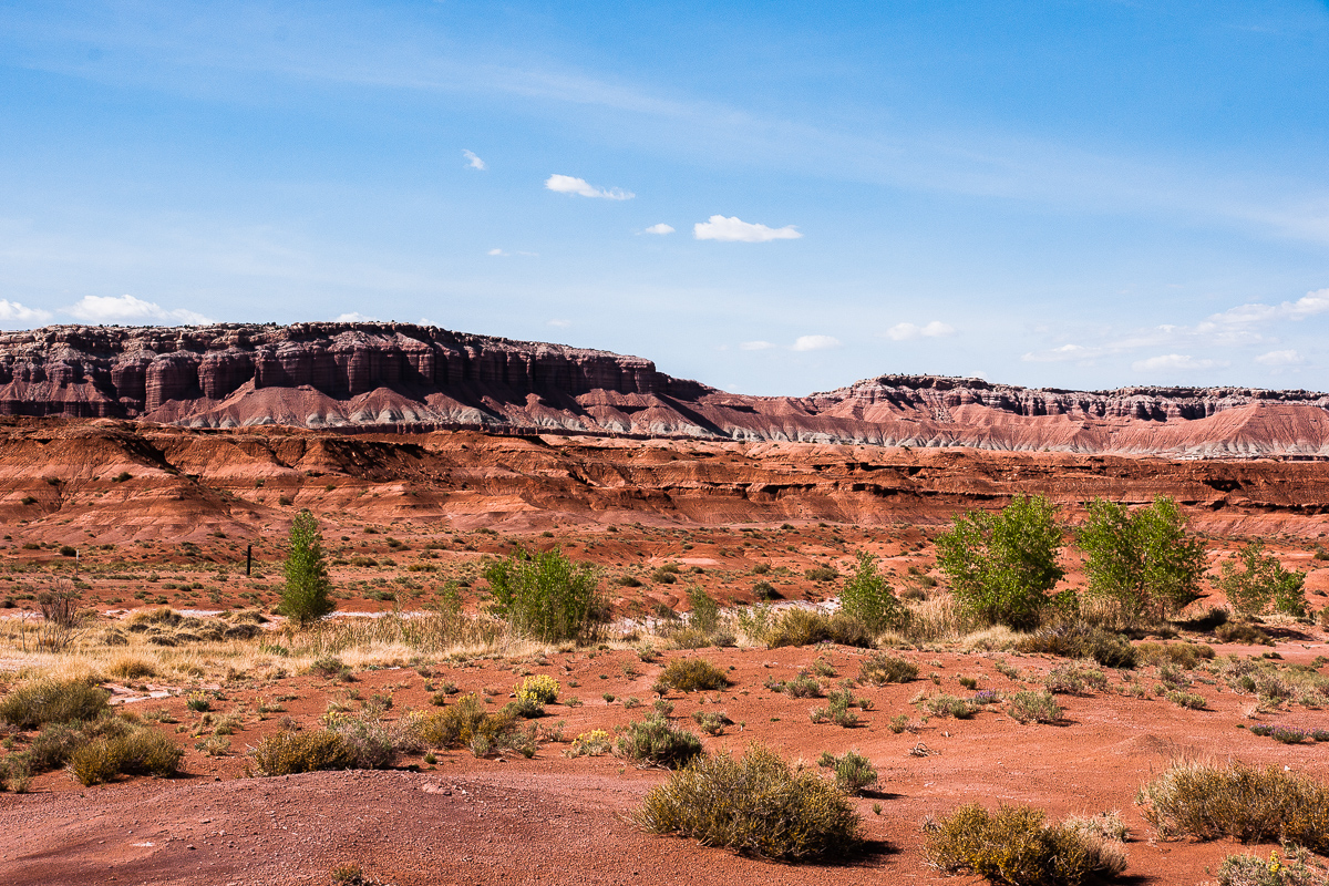
Topomap tells us we are entering Red Desert. Seems to be!
Red Summerville remnants on greyish Curtis Formation. Nice contrast!
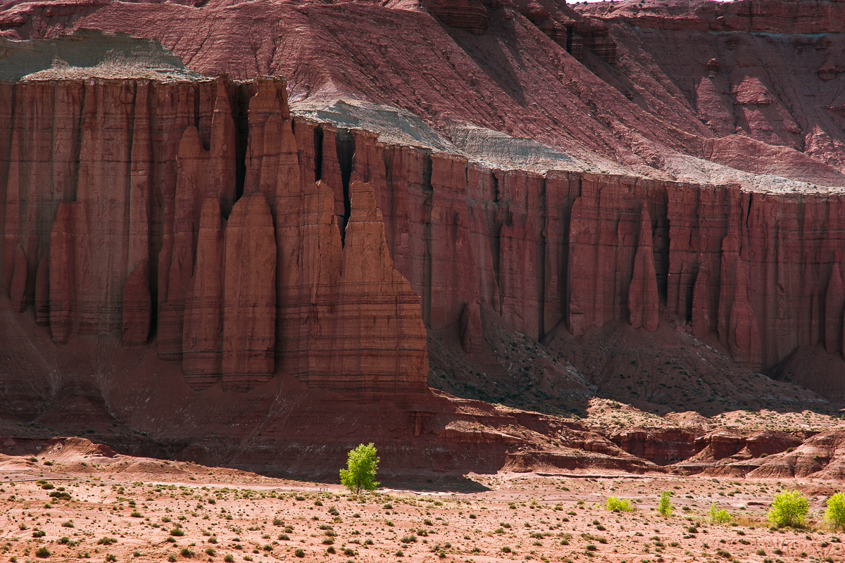
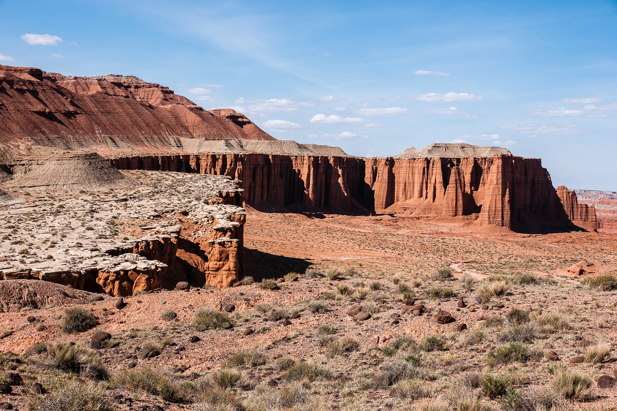
Entrada cliffs with Curtis caps
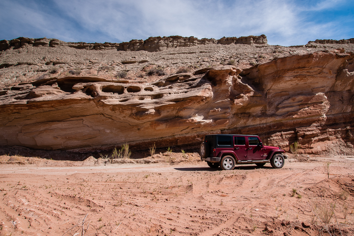
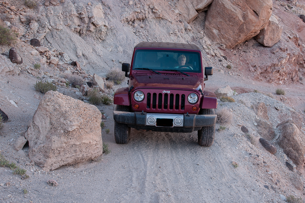
At this point there is no need for a Jeep Wrangler. Even a sedan might work.
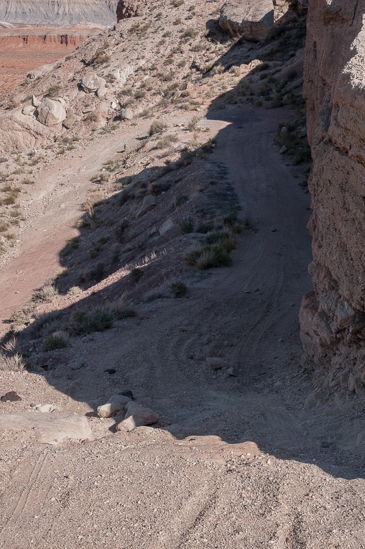
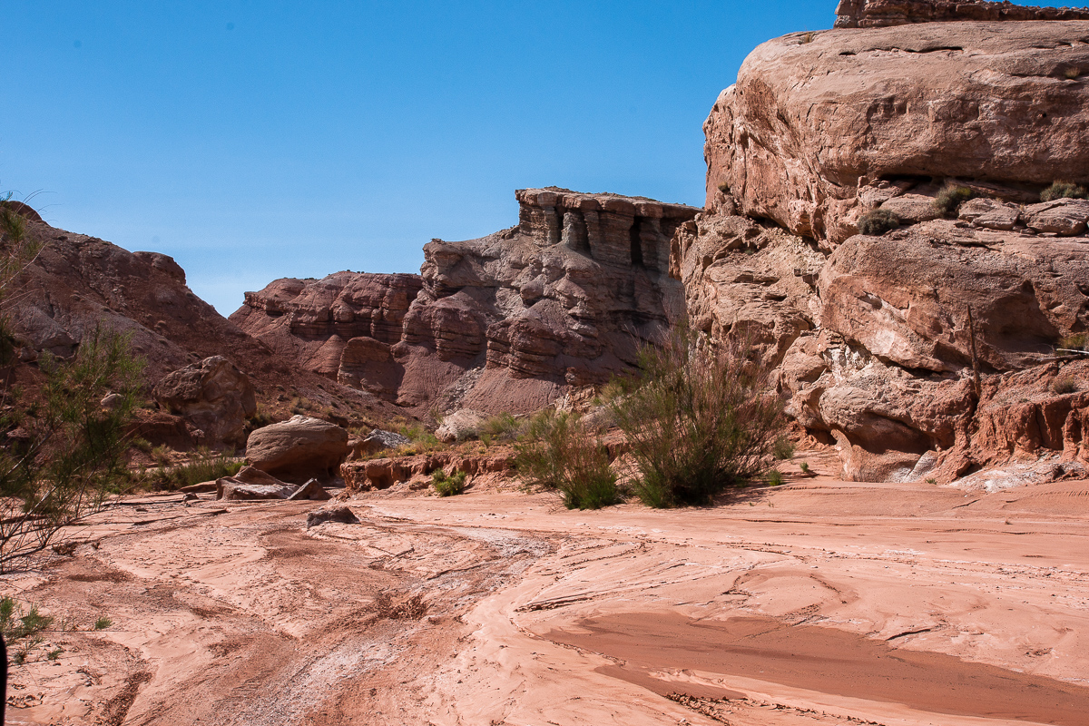
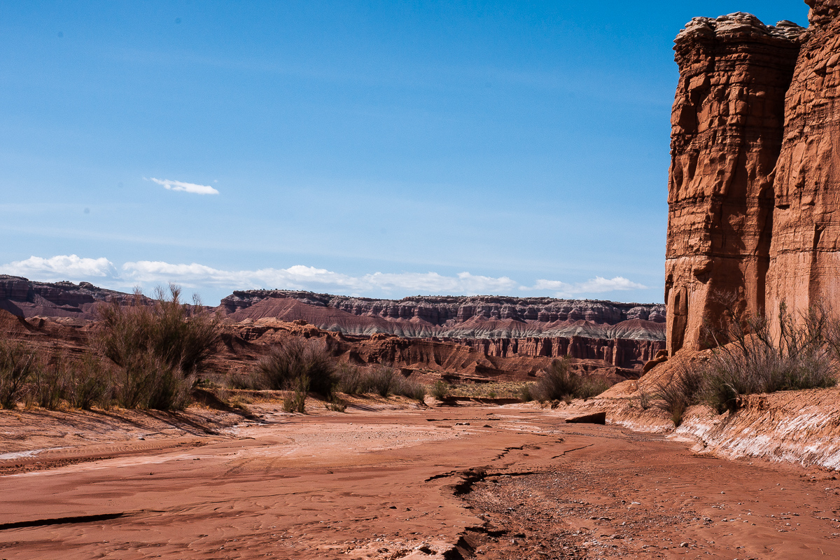
Looking west out of the little canyon
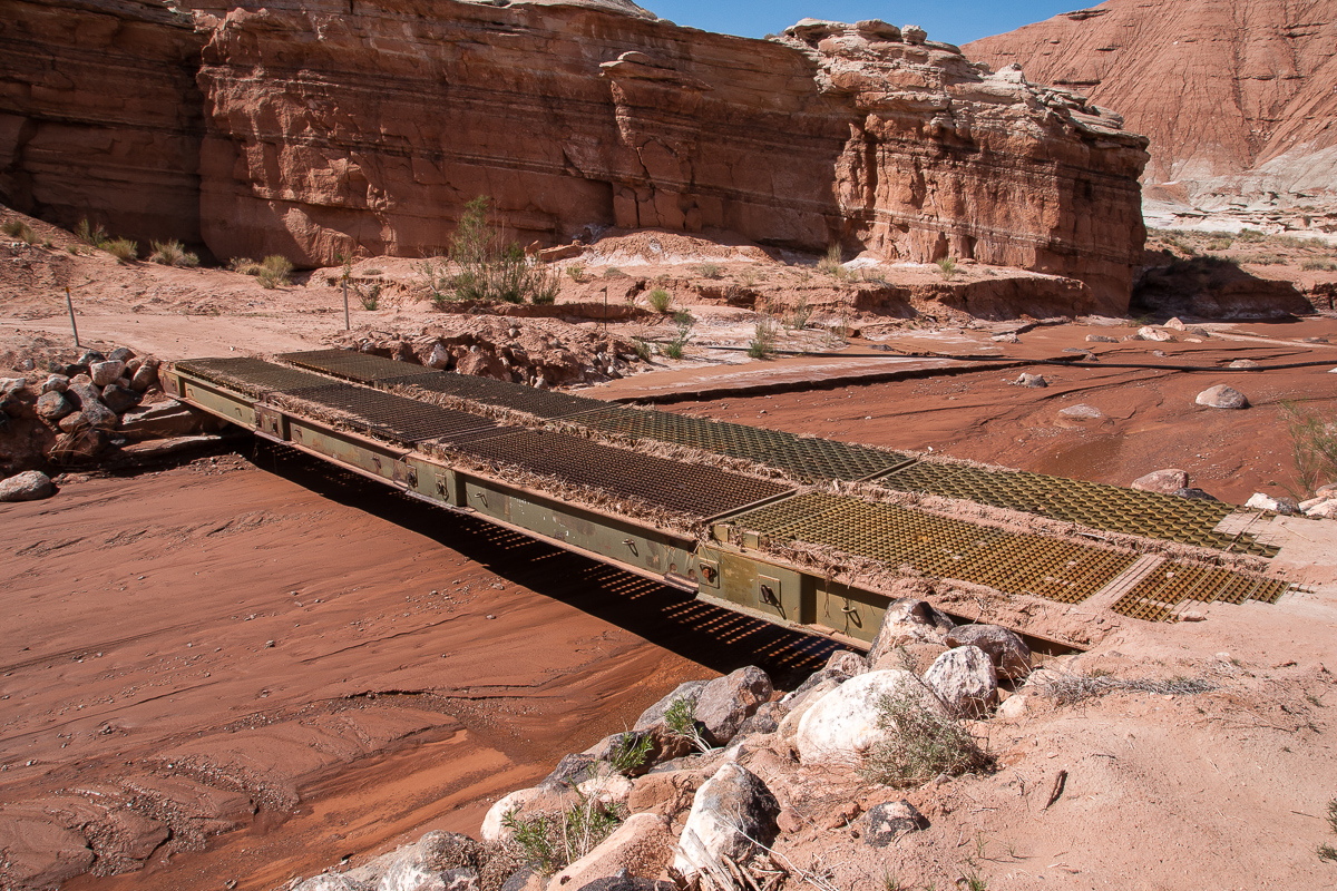
The last of at least three pioneer bridges
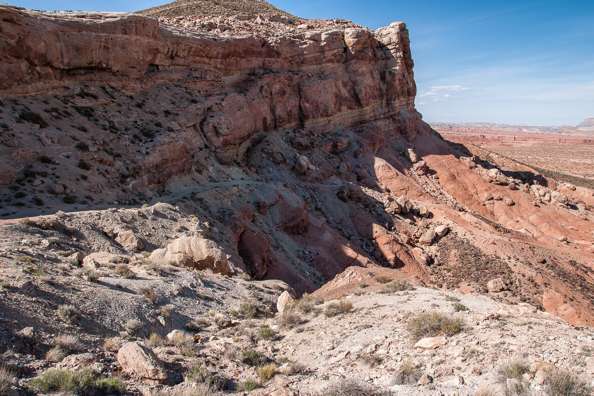
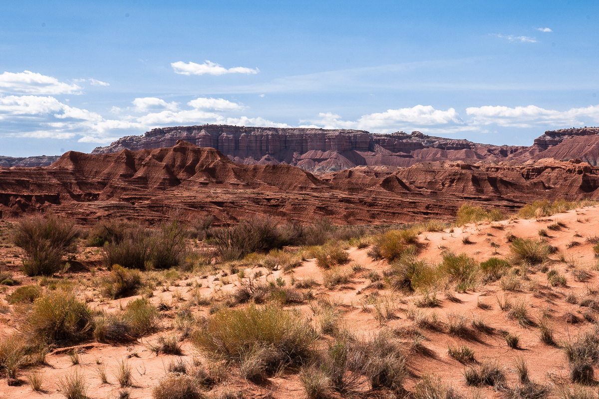
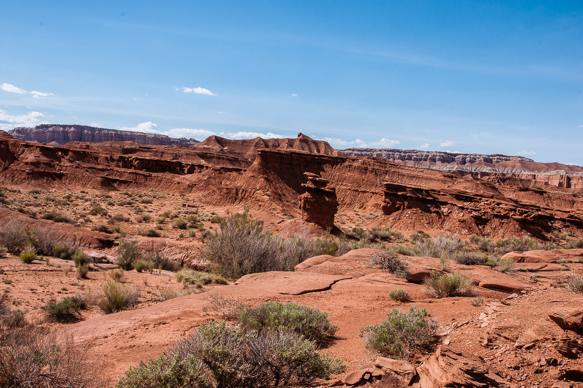
The wash in the little canyon drains a basin surrounded by Entrada sandstone cliffs. Seems to me that this was once an upwarp. The inclining strata from the east side starts to decline on the west side (we saw that later).

The eastern Cliffs of the basin
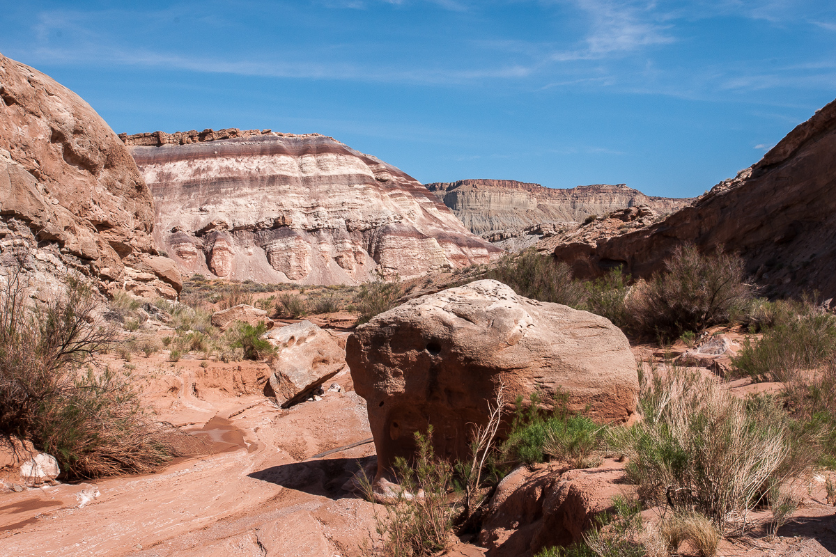
A view across the northern half of the basin
This is what the Topo Maps call Red Desert.
Branch of the wash
Cliff on the north end of the basin
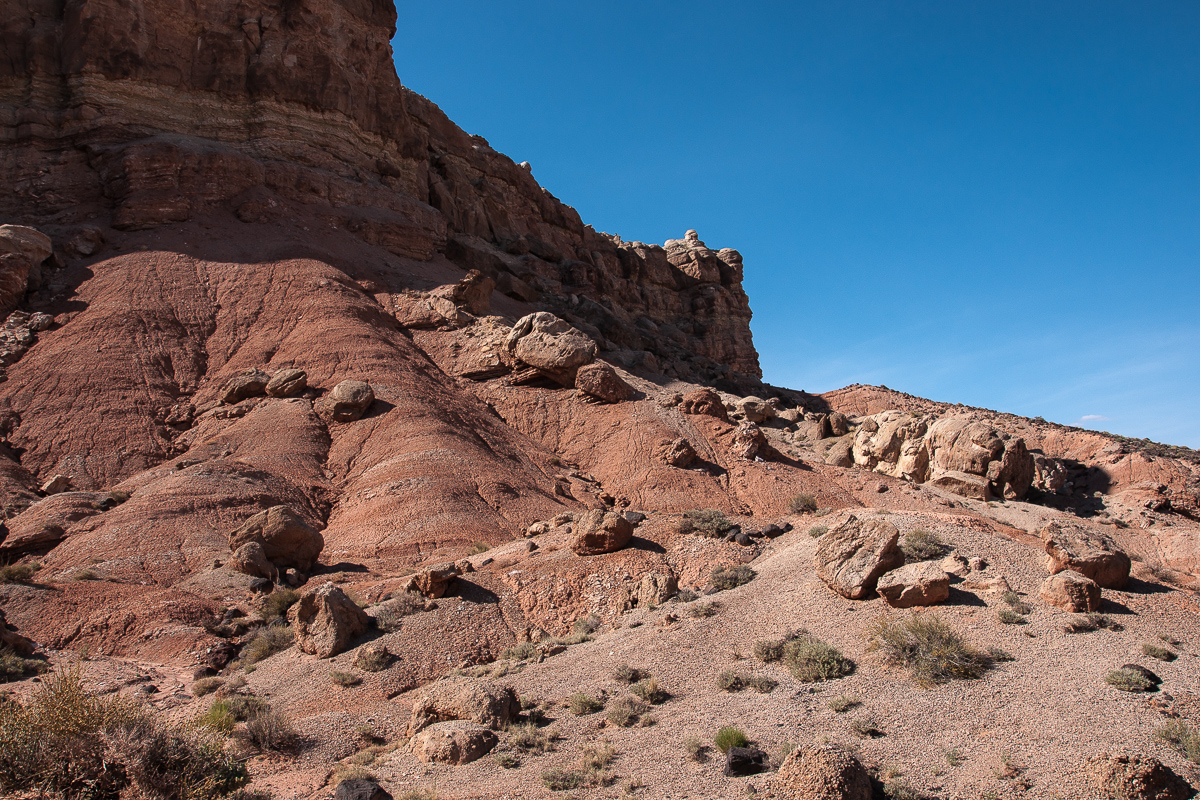
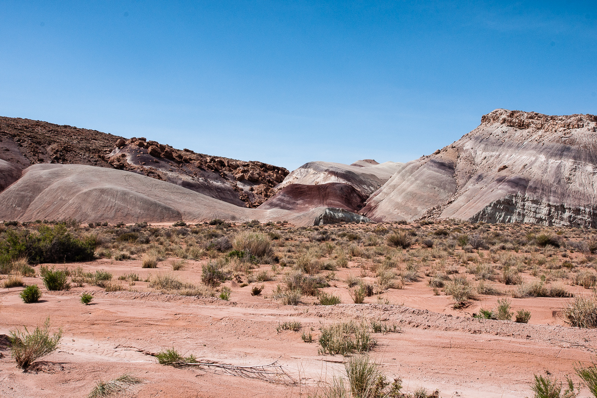
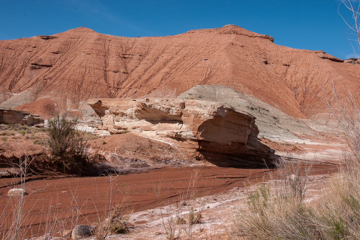
This is what is left from eroded Entrada sandstone
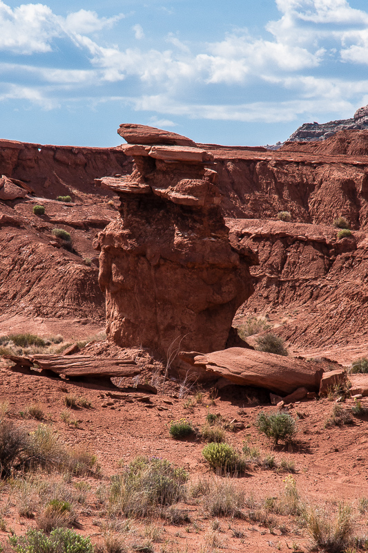
Hoodoo and a small arch in the distance
Still inclining strata

Looks like a labyrinth
Colorful cliffs
Part 2 follows immediately.
Length of pavement might be some 1,100 to 1,200 feet and it is not completely straight. Might this be an airstrip?
One end of the assumed airstrip
Nevertheless this was the wrong way. On the other end of pavement a spur let us across Caineville Wash and into a smaller colorful canyon with another wash. (We named it Red Desert Wash) It must have flown not that long ago. The bed was still moist. This canyon is short, the length of the pretty good road measures approximately 1,2 miles.
Entering the small canyon
Improvement by pioneer bridges
Wild and colored
Within the canyon
Angled strata ascending to the West
Looking back (east): banded Morrison Formation and Caineville Mesa in background
Next layer is Summerville Formation
Topomap tells us we are entering Red Desert. Seems to be!
Red Summerville remnants on greyish Curtis Formation. Nice contrast!
Entrada cliffs with Curtis caps
At this point there is no need for a Jeep Wrangler. Even a sedan might work.
Looking west out of the little canyon
The last of at least three pioneer bridges
The wash in the little canyon drains a basin surrounded by Entrada sandstone cliffs. Seems to me that this was once an upwarp. The inclining strata from the east side starts to decline on the west side (we saw that later).
The eastern Cliffs of the basin
A view across the northern half of the basin
This is what the Topo Maps call Red Desert.
Branch of the wash
Cliff on the north end of the basin
This is what is left from eroded Entrada sandstone
Hoodoo and a small arch in the distance
Still inclining strata
Looks like a labyrinth
Colorful cliffs
Part 2 follows immediately.