You are using an out of date browser. It may not display this or other websites correctly.
You should upgrade or use an alternative browser.
You should upgrade or use an alternative browser.
The Map is Not the Territory: A Northern Maine Adventure
- Thread starter epicxcrider
- Start date
epicxcrider
Observer
DAY FOUR: SUNDAY 9.25.11 _________________ 111 Miles

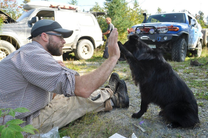
For the third day in a row I awoke to Chirp licking my face. She jumped out as fast as I could open the zipper. 6:30. Good time to get up. The sun was just coming up and I started making moves around camp to get everyone moving. We had another big day ahead of us. Oatmeal and coffee for breakfast, packing up and drving North for the fourth day in a row.

We needed to head East-Northeast this morning and I spent my usual half-hour looking for a route. We could take the main logging road, but that was the long way around... We wanted the road less traveled!
On the road at 8:30 we drove a little North but mostly East on the main road for about an hour before our first turn. I stopped at every intersection to double-check our location. The GPS was not much help here - we had lost the road a while ago. Roads couldn’t be counted because there were new and old tracks everywhere. We had to navigate using the atlas, compass, and land features - rivers, streams, mountains, ponds, etc.

The main road continued North, but the un-traveled track East would bring us closer to our destination, so East it was. There were few tire tracks on the road and it was apparent it hadn’t been used regularly for some time. The roadbed was firm but washed out, making for a very bumpy ride - we kept the speed down here. I really felt “out there” on this road, we hadn’t seen anyone for a long time and were so far North. Navigating by land features we found our way East to the next intersection an hour later.
njjeepthing
Explorer
This is awesome!
x2
Hope you're taking recon notes!
Exactly!
epicxcrider
Observer
Picking up the pace on the smoother road, we wound our way through small mountains heading South then East until the intersection with a major logging highway. The road was about 4 lanes wide and we cruised at 60 for a few miles looking for our next right hand turn. Passing several overgrown trails, we finally found a drivable one heading East and we were back in the woods...

Tall grass covered the road except for two worn valleys the width of tires. The road was good, but washed out in places. It pointed straight to the supposed coordinates of the trains - we were on the right track - until a bend to the left pointed us Northeast. About a mile and a half further there was a narrow trail heading South - this must be it!!! Not far down the trail there were three boulders that had clearly once blocked the way, but someone with the means had moved them enough to let a vehicle slip through.
We fit")
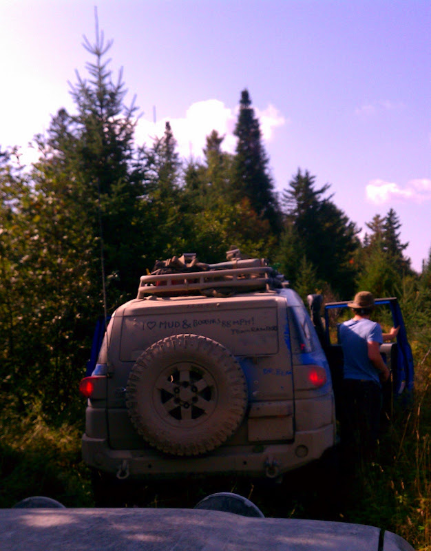
It was slow going now... scattered small saplings were growing in the road, scraping the floorboards as we drove over. The trail narrowed until branches were hitting the mirrors... SNAP! Both mirrors folded in as the trail got even narrower, branches hitting the windshield now and small trees scraping the underside of the FJ. Nature had started to reclaim this road. Eventually the trail became so narrow we just could not drive any further. Making a parking space on the side of the trail we got ready to continue on foot...


The trail had a firm roadbed and continued on into the woods for a while - it was a good starting point. I grabbed the GPS and we headed deeper into the brush.
Tall grass covered the road except for two worn valleys the width of tires. The road was good, but washed out in places. It pointed straight to the supposed coordinates of the trains - we were on the right track - until a bend to the left pointed us Northeast. About a mile and a half further there was a narrow trail heading South - this must be it!!! Not far down the trail there were three boulders that had clearly once blocked the way, but someone with the means had moved them enough to let a vehicle slip through.
We fit
It was slow going now... scattered small saplings were growing in the road, scraping the floorboards as we drove over. The trail narrowed until branches were hitting the mirrors... SNAP! Both mirrors folded in as the trail got even narrower, branches hitting the windshield now and small trees scraping the underside of the FJ. Nature had started to reclaim this road. Eventually the trail became so narrow we just could not drive any further. Making a parking space on the side of the trail we got ready to continue on foot...
The trail had a firm roadbed and continued on into the woods for a while - it was a good starting point. I grabbed the GPS and we headed deeper into the brush.
epicxcrider
Observer
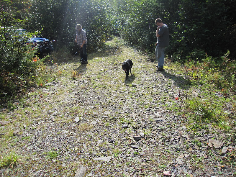
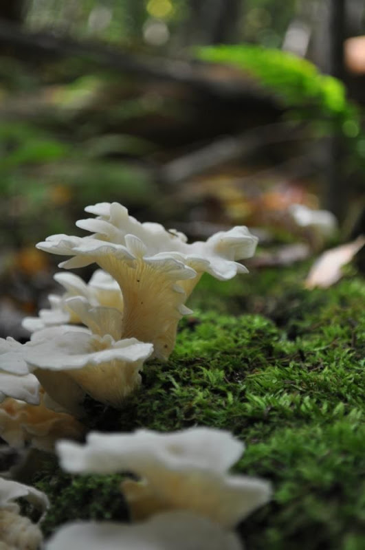
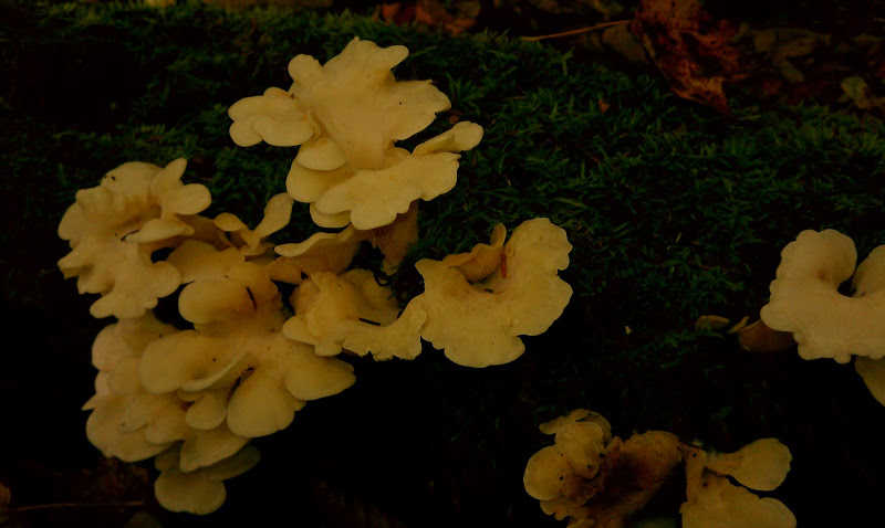
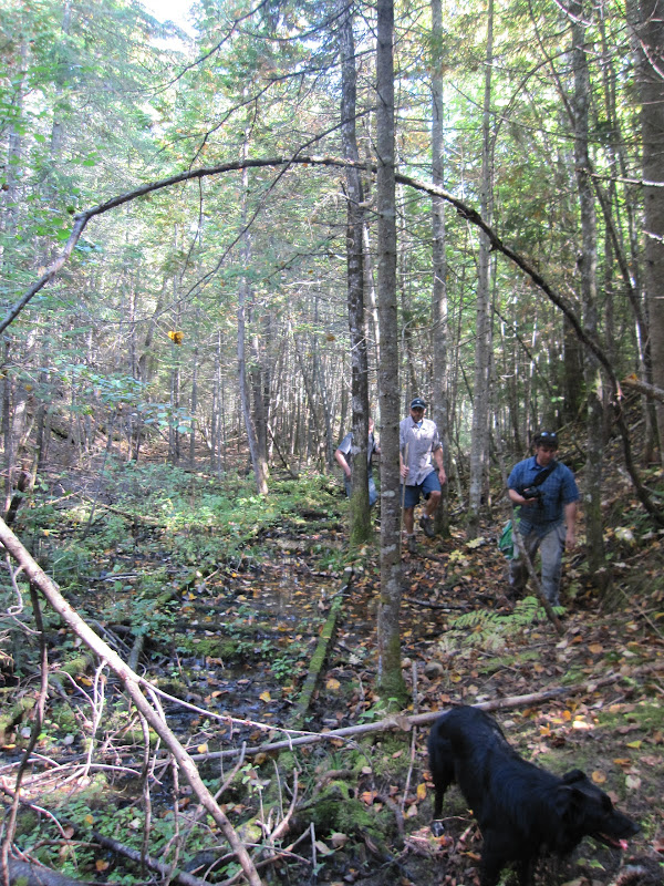
Only a few hundred yards down the trail tied to a small pine tree I spotted a number ribbons of different color, made from surveyor’s tape. This had to be a clue. Right at the tape a game trail went left into the woods... so did we. The ground was mushy and the trail was not well worn. The whole area appeared to be a peat bog, so we watched our steps.


Carefully we picked our way along through the pine trees and over the peat and watched Chrip bound ahead chasing squirrels.
“AARRGGHHH” Nick B was down - mud everywhere! HA! He didn’t care, we were in the Allagash wilderness- It was awesome!
The GPS had shown the trains being 2 miles away from where we left the trucks- in a straight line - it had been more than that by now.
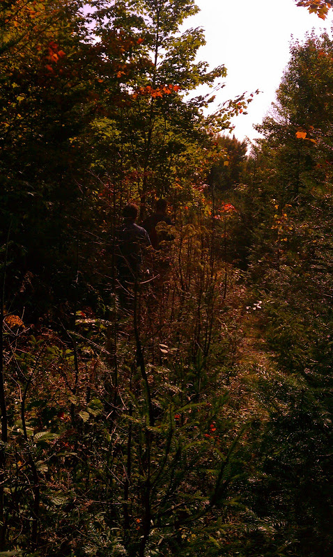
Passing through an area with many trees down (microburst?) I spotted a big steel stake in the ground with the remains of some long gone guyline. We were close

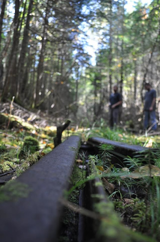
Not 50 yards later I almost tripped over railroad tracks!
PirateMcGee
Expedition Leader
Awesome thanks for sharing this trip! This is great stuff! MORE keep me entertained on this sunday so I can avoid studying haha
epicxcrider
Observer
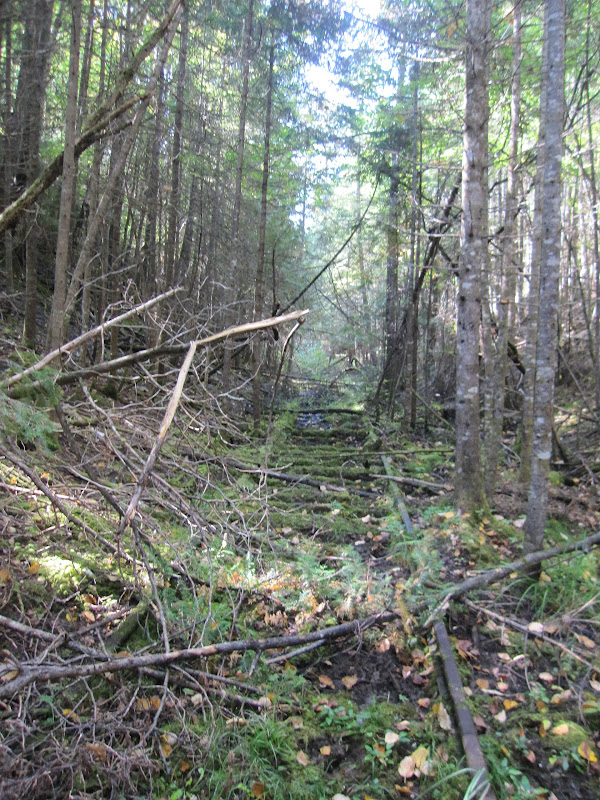
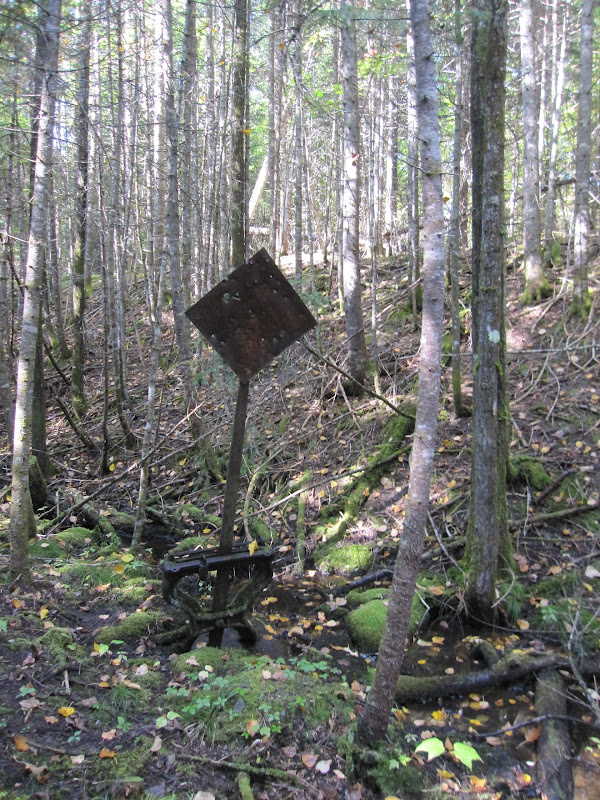
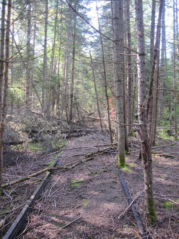
The GPS showed us about a quarter mile North of the trains so we walked along the tracks heading South. Most of the ties had disappeared long ago and the rails were now held in place mostly by new vegetation. We walked slowly along the rail bed taking photos and admiring a track switch that still operated despite being un-used for 70 years. There were a couple of spurs heading Northeast and Northwest but the GPS showed the trains still .1 miles Southeast. We climbed up out of the rail bed as it became flooded, and started shwacking through the woods alongside the rails.
There was no more trail here. I had been following the GPS along the tracks, but now we had gone too far. We needed to go East of the tracks through the woods. We shwacked some more for another .1 miles until we were at the right coordinates. Nothing. Just more trees and scrub in every direction. Crap.
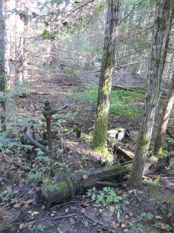
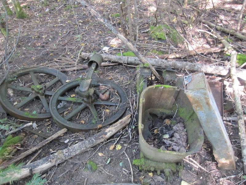
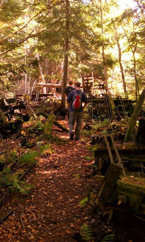
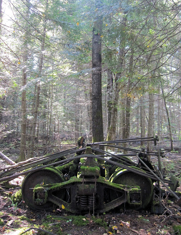
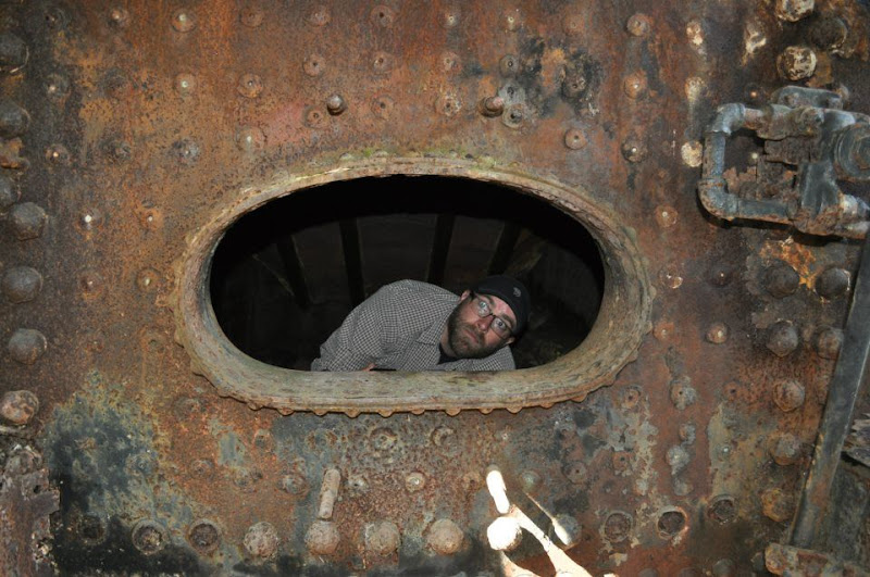
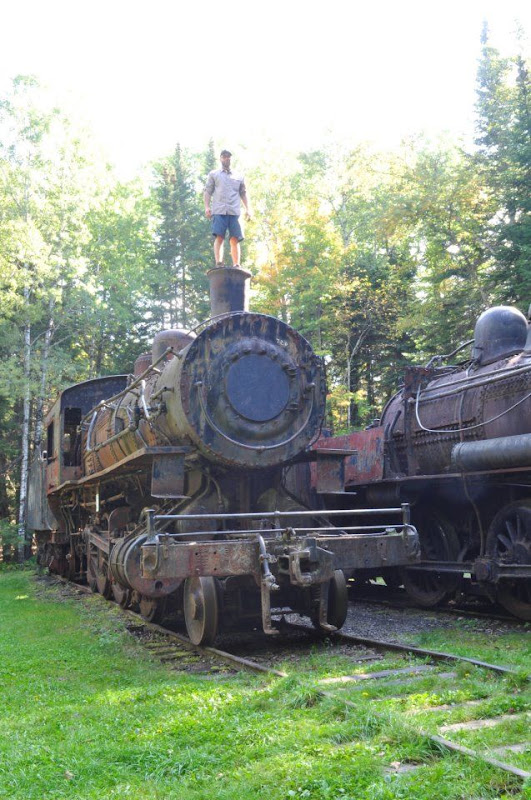
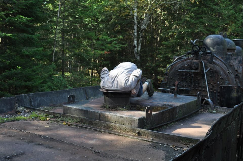
There were more and more signs of the old railway. Everyone was excited as we hurried North looking for signs of the trains in the woods! Shortly we came across two rows of old rotting flatbed cars and I knew we were close. Moss grew all over the trucks and structural steel pieces of the cars. The wood had long since rotted away save a few cars where the wood sagged down in the middle. Without the wood for support, the steel tie-bars sagged under their own weight in between the trucks and at each end. Nature had started to reclaim the cars.
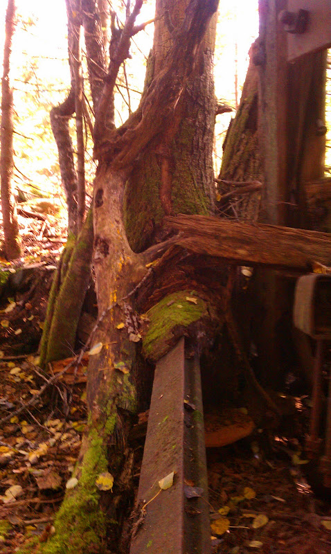
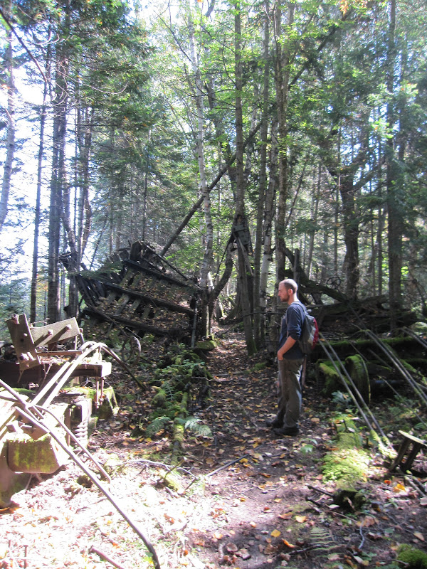
One thing really struck me, however. The air line valves still rotated, axle grease covers opened. Anything that had once been a moving part still moved! I bet the trucks would still roll if you could push them. 70 years untouched, and these parts had not even started to rust away. This was good old American Iron!
epicxcrider
Observer

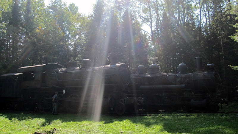
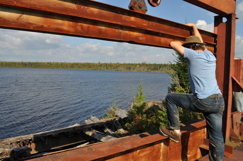
Not far beyond where the flatbed cars sat in rows I spotted a clearing and hurried to get a better look - we had found them!


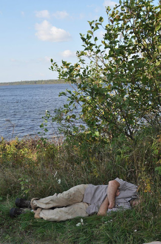
The shoreline could have easily been mistaken for the ocean. Something about it - the smell, the arrangement of the rocks... Maybe the absolute desolation.

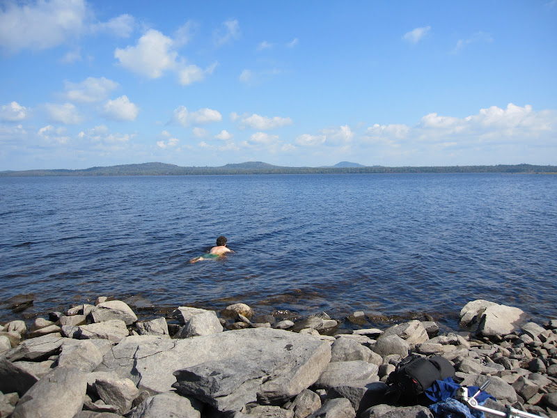
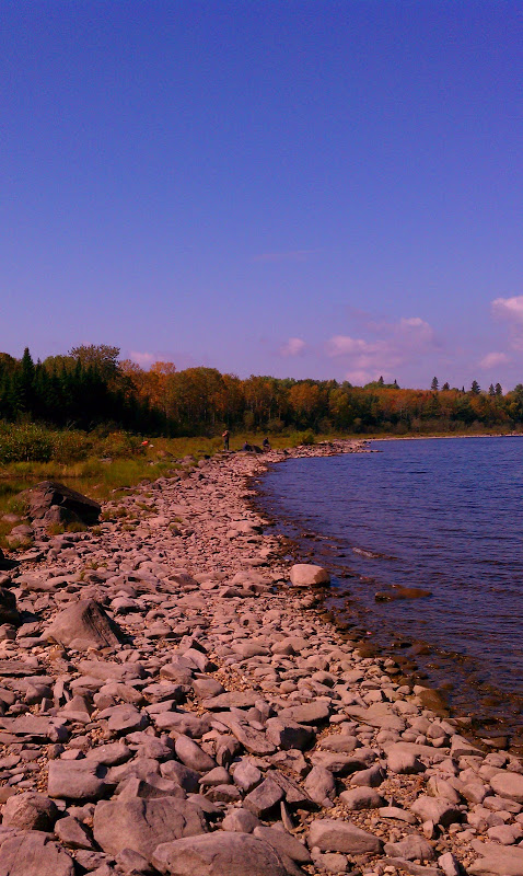
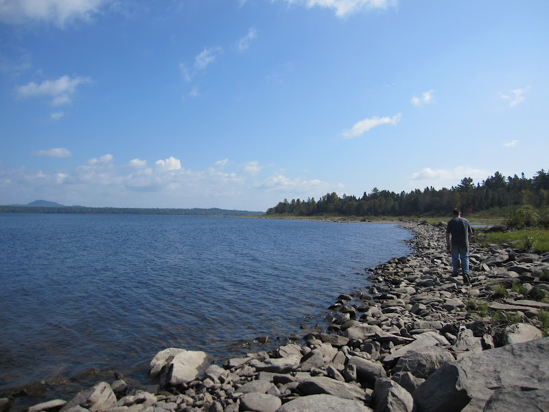
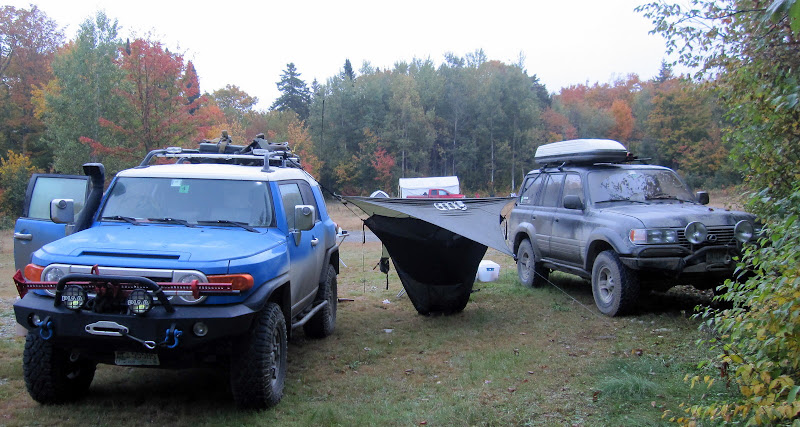
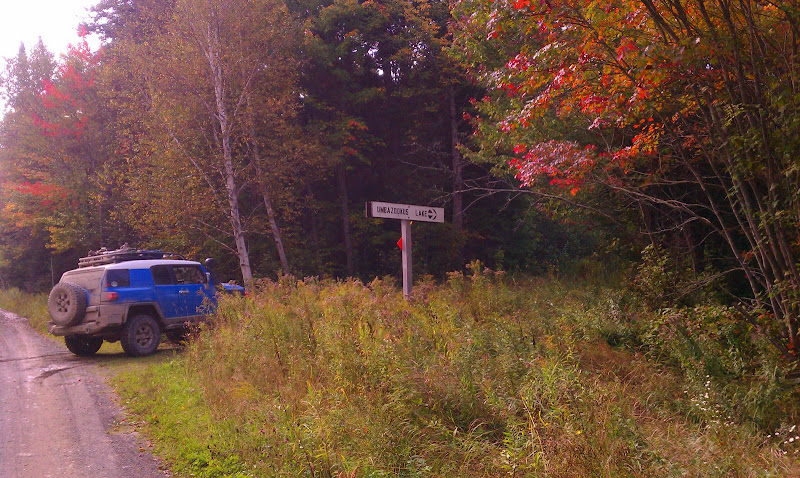
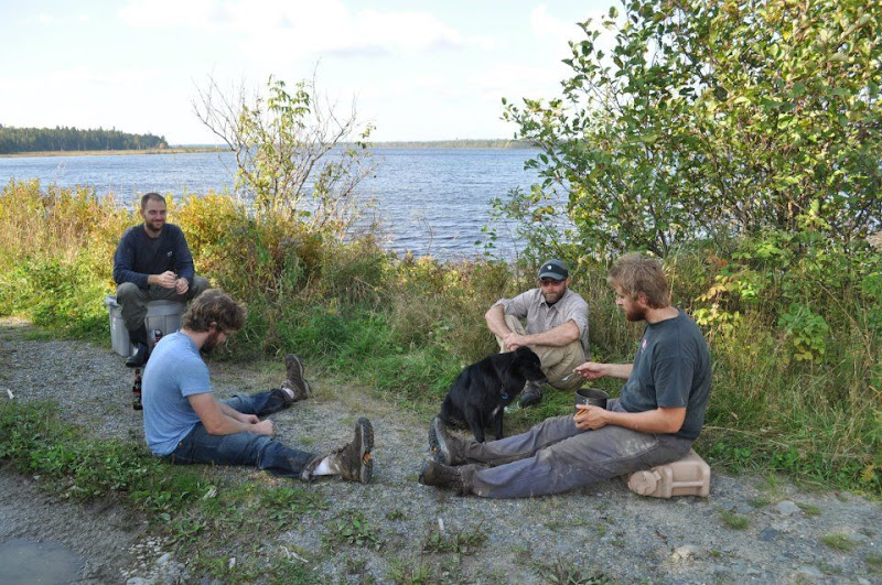
Sufficiently relaxed after a few hours in the sun it was time to move on - there was still distance to cover and it was quickly turning into afternoon. We picked our way the few miles back through the woods to the trucks and began the slow drive out to the Telos road. Nick and I looked for possible campgrounds and a place to make lunch as we flew South, making good speed on the well traveled road. Nick found a campsite just south of Umbazooksus lake we would stop for lunch and evaluate staying there for the night.
94-RUNNER
Over The Hill
A lot of info about the trains can be found here.
http://www.maine.gov/doc/parks/history/allagash/rr.htm
http://www.maine.gov/doc/parks/history/allagash/rr.htm
epicxcrider
Observer
Few more train photos

epicxcrider
Observer
After lunch everyone decided it was too soon to make camp. We would make for Ripogenous Gorge, leaving the North Maine Woods at the Telos checkpoint. I refueled from the Jerry cans and we set off towards the gate, electing again to take the road less traveled
I turned South on Duck Pond Rd where it was immediately clear nobody had traveled through in a long time.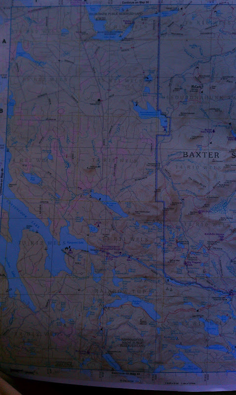
Putting the FJ in 4-low I crept into the water, Josh waiting behind until I was through safely. Aside from a few submerged logs it was an easy crossing and Josh followed without incident. The road was still rough but dry at least so we kept moving through the alders until we came to another flooded section...