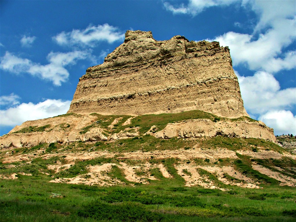
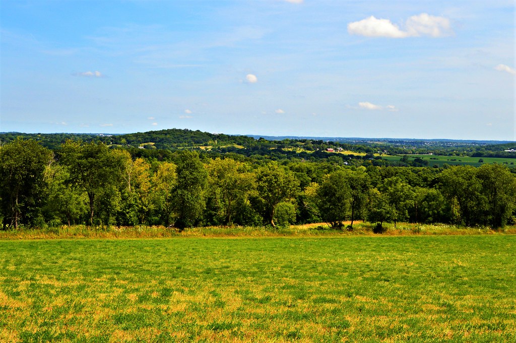
In Nebraska, the first 100 or so miles beyond the border at the Missouri River was indiscernible from what I left behind in Iowa. Now though, the land began gradually changing. Traveling along State Highway 2, which makes a broad curving sweep across the center of Nebraska, the rolls in the land started getting higher and more frequent. The cornfields ran out, replaced by several counties of hilly grassland that is apparently some of the best cattle range in the country. This is the Sandill Region, a vast expanse of ancient sand dunes that have been stabilized by the practically unbroken prairie that now grows upon them. It was mesmerizing watching the rolling swells of grass come and go while the VW cruised leisurely along this empty stretch of blacktop.
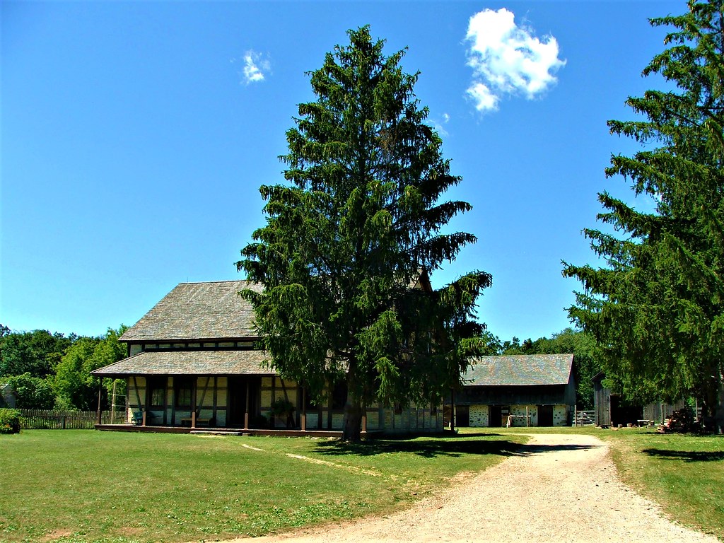
Along Nebraska Highway 2 near Halsey, when looking south, there rises a series of hills much darker green then their surrounding neighbors. Getting closer, that dark green turns out to be a solid stand of pines that cover several thousand acres, an island of trees in the rippling sea of grass. This out of place forest is not born of natural causes, but was planted by hand over the course of about two decades. In the early 1900's, botanist Charles Bessey surveyed this area deep in the prairie and determined that it would be an ideal spot for growing a forest. By that time the once great forests of the East and northern Midwest were rapidly being depleted, so he would create a new timber empire in the middle of Nebraska. The forest never materialized as a timber producing enterprise but still remains as a wildlife refuge run by the National Forest Service. Pine seedlings continue to be grown there for distribution around the state. The sign by the fire tower at the site proclaims it as the largest hand planted forest in the world. I climbed the tower, and overlooking the forest from above it was impressive.
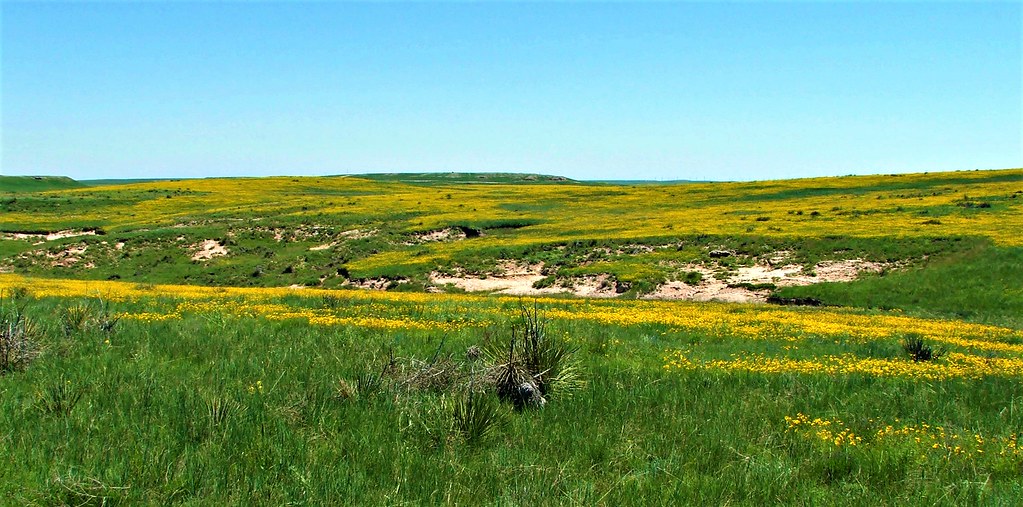
I wandered around the hand planted forest for a while, but I was really more interested in getting out into the prairie. Back on Highway 2 there was another road leading off into the National Forest, this time into the grassland. I turned onto the dirt road which was still a bit muddy from the severe storm the night before, and followed it back into the hills. This area was dry enough that yucca was mixed in with the prairie grasses. The yucca was in full bloom along with the purplish-blue flowers of the abundant Spiderwort growing among the grass. Wild roses also grew sporadically, adding a splash of pink here and there.
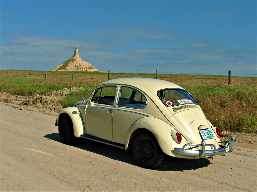
The VW bumped along the rutted muddier sections of the road as it wound around in a general broad arc turning south and then back to the east. I stopped at many points along the way to take pictures and savor the solitude. There wasn't much breeze that morning and the singing of the birds rang clearly through the air without the rustling of the grass to muffle their song. There were a few really mucky low spots in the road that took a good deal of throttle for the engine to push the VW through, and the floorboards scraped the dirt once or twice. A lone shallow water crossing sent muddy spray splashing over the hood and onto the windshield. The VW soldiered on through everything. It's a good little car.
After spending all morning and part of the afternoon knocking around the National Forest land, I rejoined highway 2 and continued west. There was some interesting looking back roads leading off the main highway so I picked a random one and followed it for a while. I think I saw one other car in over two hours of rambling around. The ranch roads eventually rejoined a north/south highway where I turned south toward Alliance. There was a little dot in my atlas in the blank space north of Alliance that was labeled Carhenge. That seemed like it could prove amusing.
Arriving at Carhenge it was exactly as I hoped; an exact replica of Stonehenge made of junk cars painted grey to mimic stone. The bulk of the cars are from the 1960's and being an old car buff, the cars themselves were as interesting to me as the sculpture created from it. It was neat that there were no guardrails or fences around anything. I could go right up to the cars and wander around the place unimpeded. My curiosity satisfied, I made my way into Alliance where I stayed for the night.
A small portion of the hand planted pine forest seen from the fire tower in the Nebraska National Forrest.

The VW on the road I took through the National Forrest. Blooming yucca and Spiderwort are all around.

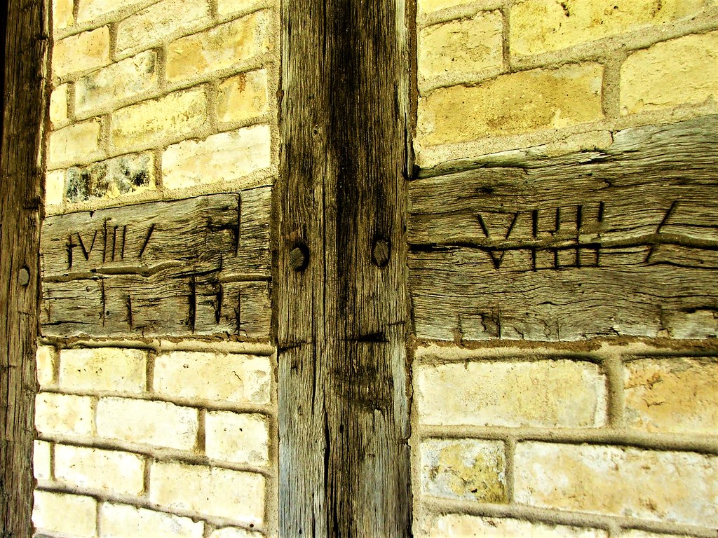
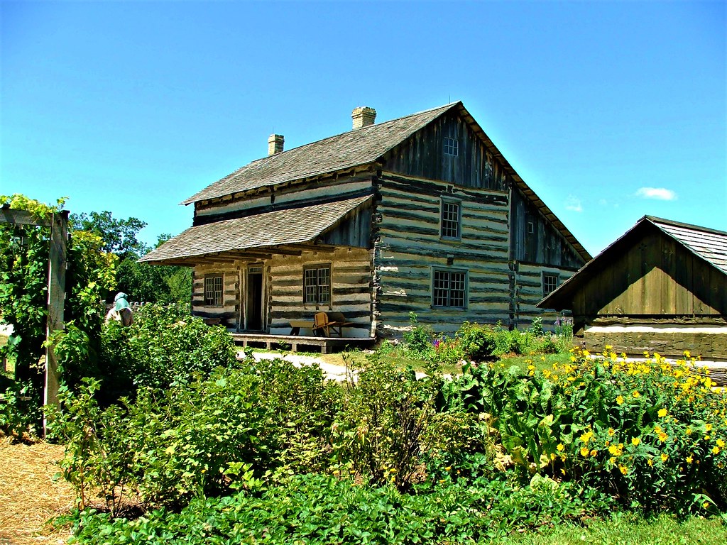
Nebraska National Forest.

Nebraska National Forest.

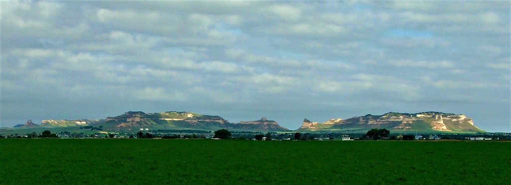
View from one of the ranch roads I explored later in the day. I think this may have been in Cherry County, NE.

Cow skeleton in the Sandhills.

Sandhills, Nebraska.

Road to nowhere. Nebraska.

Carhenge. Alliance, Nebraska.

Along Nebraska Highway 2 near Halsey, when looking south, there rises a series of hills much darker green then their surrounding neighbors. Getting closer, that dark green turns out to be a solid stand of pines that cover several thousand acres, an island of trees in the rippling sea of grass. This out of place forest is not born of natural causes, but was planted by hand over the course of about two decades. In the early 1900's, botanist Charles Bessey surveyed this area deep in the prairie and determined that it would be an ideal spot for growing a forest. By that time the once great forests of the East and northern Midwest were rapidly being depleted, so he would create a new timber empire in the middle of Nebraska. The forest never materialized as a timber producing enterprise but still remains as a wildlife refuge run by the National Forest Service. Pine seedlings continue to be grown there for distribution around the state. The sign by the fire tower at the site proclaims it as the largest hand planted forest in the world. I climbed the tower, and overlooking the forest from above it was impressive.
I wandered around the hand planted forest for a while, but I was really more interested in getting out into the prairie. Back on Highway 2 there was another road leading off into the National Forest, this time into the grassland. I turned onto the dirt road which was still a bit muddy from the severe storm the night before, and followed it back into the hills. This area was dry enough that yucca was mixed in with the prairie grasses. The yucca was in full bloom along with the purplish-blue flowers of the abundant Spiderwort growing among the grass. Wild roses also grew sporadically, adding a splash of pink here and there.
The VW bumped along the rutted muddier sections of the road as it wound around in a general broad arc turning south and then back to the east. I stopped at many points along the way to take pictures and savor the solitude. There wasn't much breeze that morning and the singing of the birds rang clearly through the air without the rustling of the grass to muffle their song. There were a few really mucky low spots in the road that took a good deal of throttle for the engine to push the VW through, and the floorboards scraped the dirt once or twice. A lone shallow water crossing sent muddy spray splashing over the hood and onto the windshield. The VW soldiered on through everything. It's a good little car.
After spending all morning and part of the afternoon knocking around the National Forest land, I rejoined highway 2 and continued west. There was some interesting looking back roads leading off the main highway so I picked a random one and followed it for a while. I think I saw one other car in over two hours of rambling around. The ranch roads eventually rejoined a north/south highway where I turned south toward Alliance. There was a little dot in my atlas in the blank space north of Alliance that was labeled Carhenge. That seemed like it could prove amusing.
Arriving at Carhenge it was exactly as I hoped; an exact replica of Stonehenge made of junk cars painted grey to mimic stone. The bulk of the cars are from the 1960's and being an old car buff, the cars themselves were as interesting to me as the sculpture created from it. It was neat that there were no guardrails or fences around anything. I could go right up to the cars and wander around the place unimpeded. My curiosity satisfied, I made my way into Alliance where I stayed for the night.
A small portion of the hand planted pine forest seen from the fire tower in the Nebraska National Forrest.
The VW on the road I took through the National Forrest. Blooming yucca and Spiderwort are all around.
Nebraska National Forest.
Nebraska National Forest.
View from one of the ranch roads I explored later in the day. I think this may have been in Cherry County, NE.
Cow skeleton in the Sandhills.
Sandhills, Nebraska.
Road to nowhere. Nebraska.
Carhenge. Alliance, Nebraska.
Last edited: