
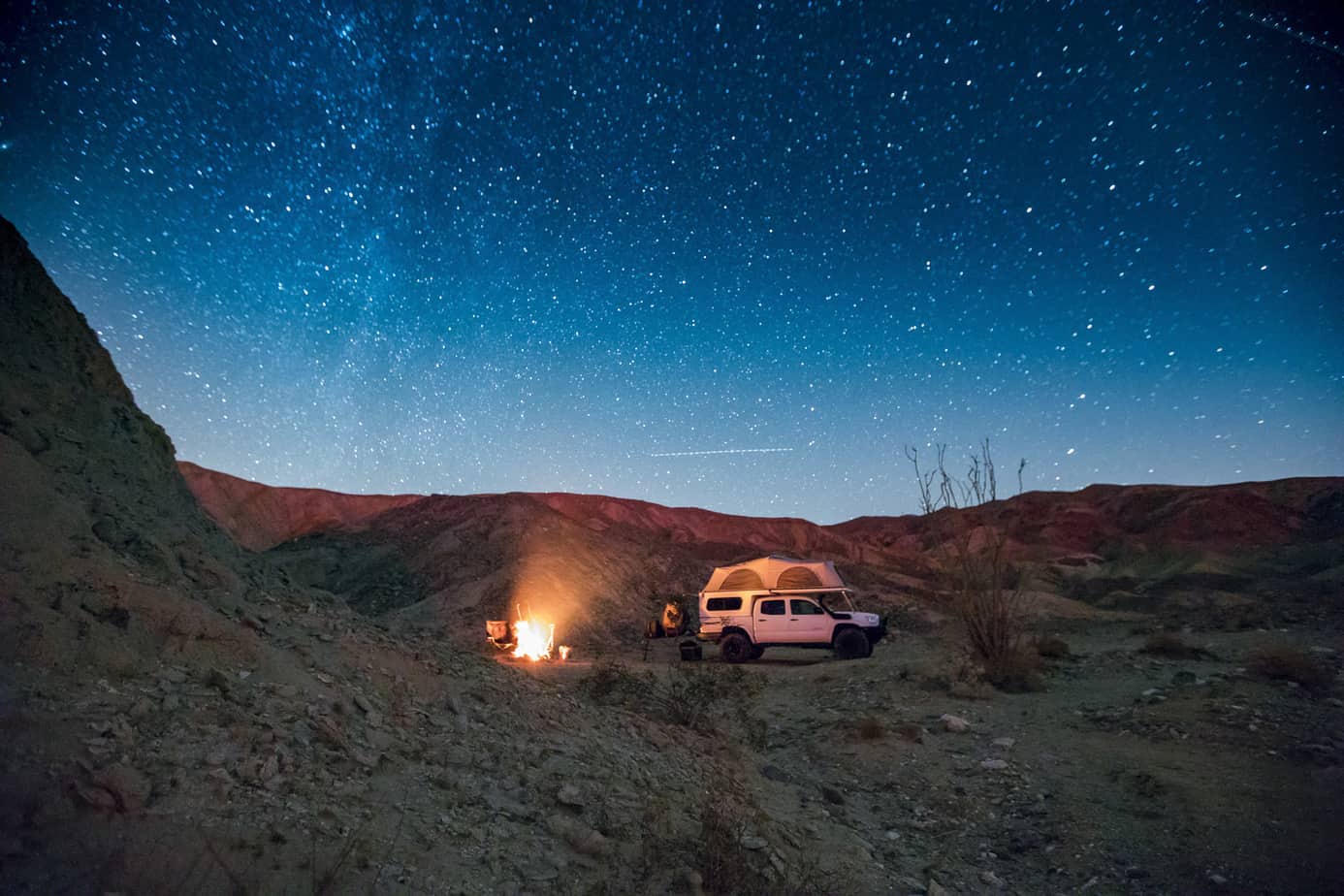
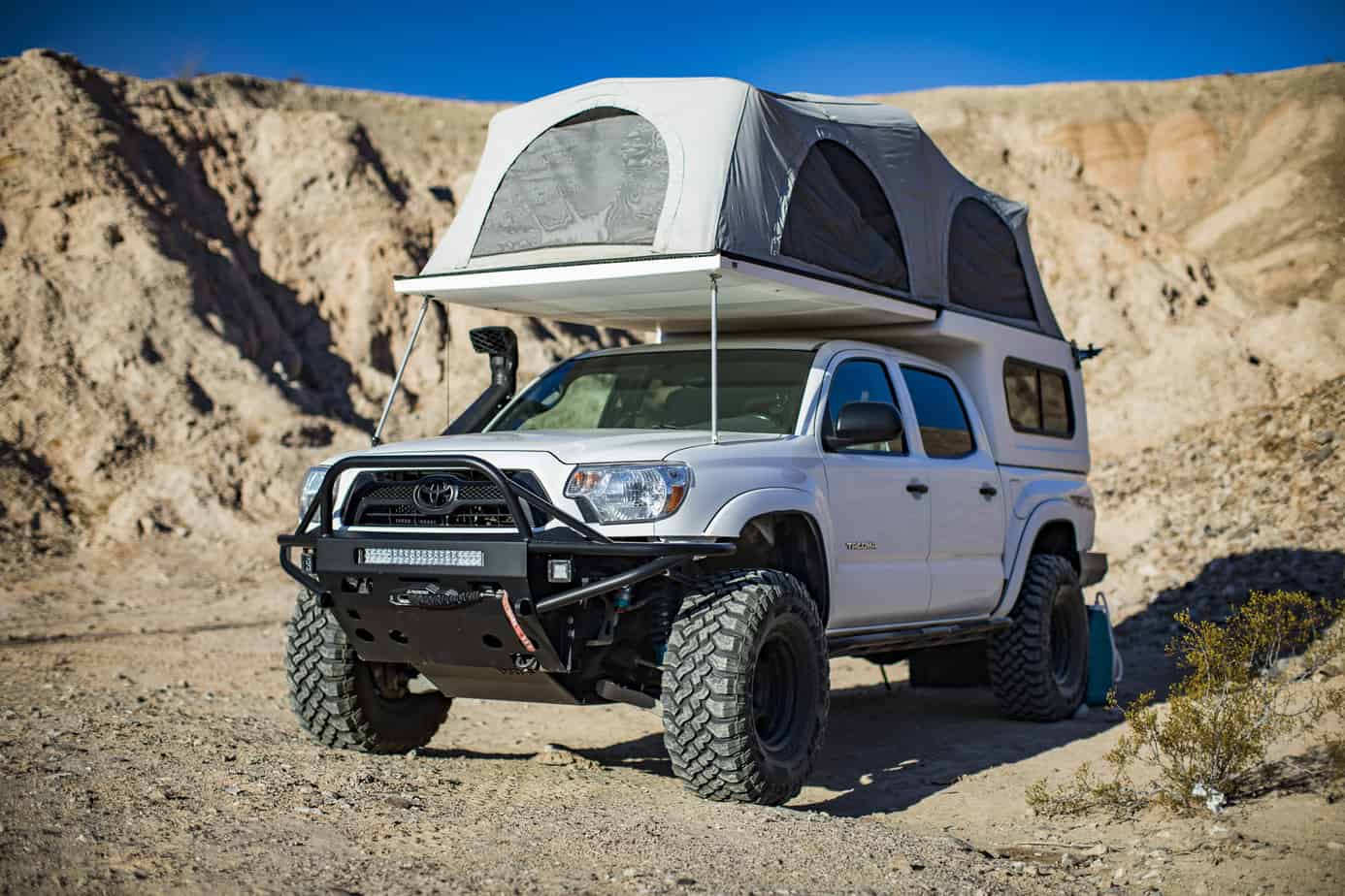
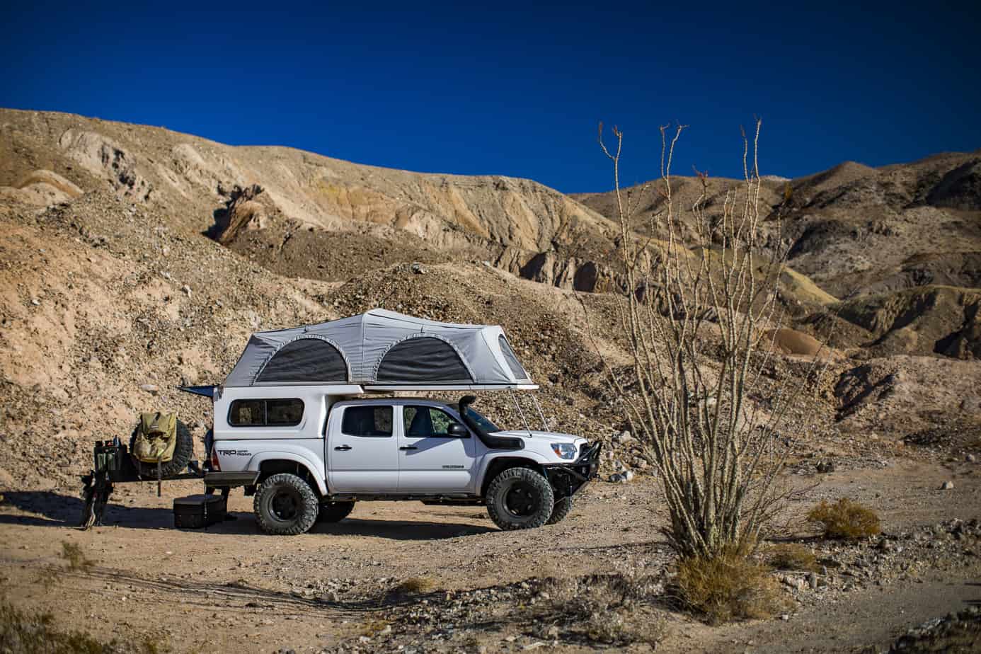
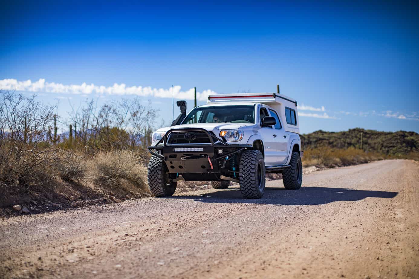
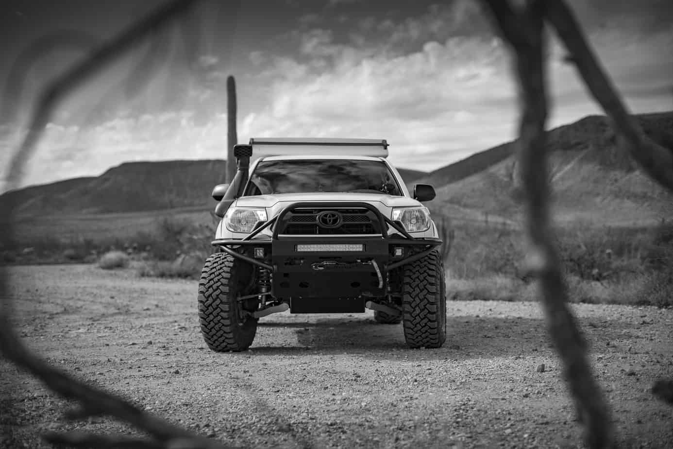
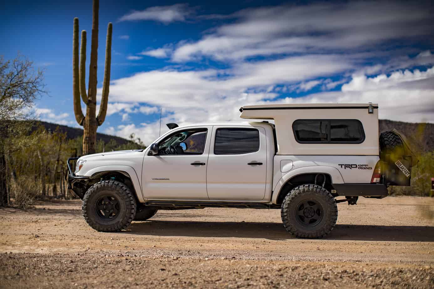
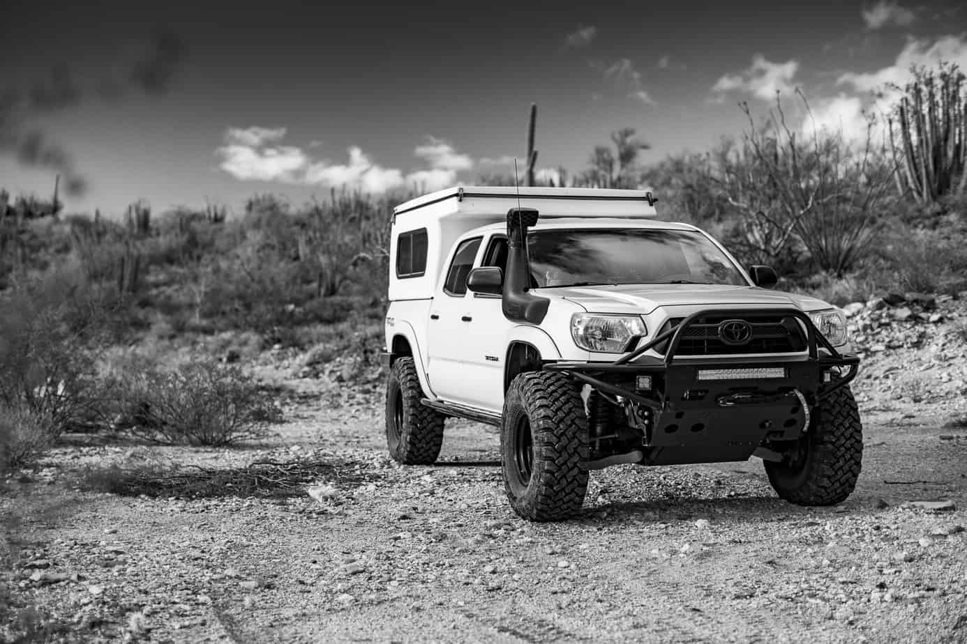
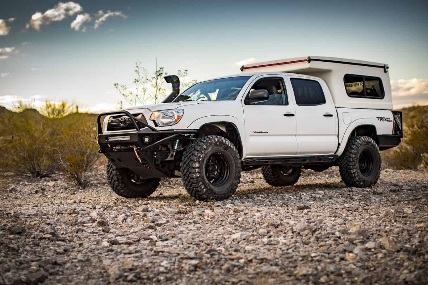
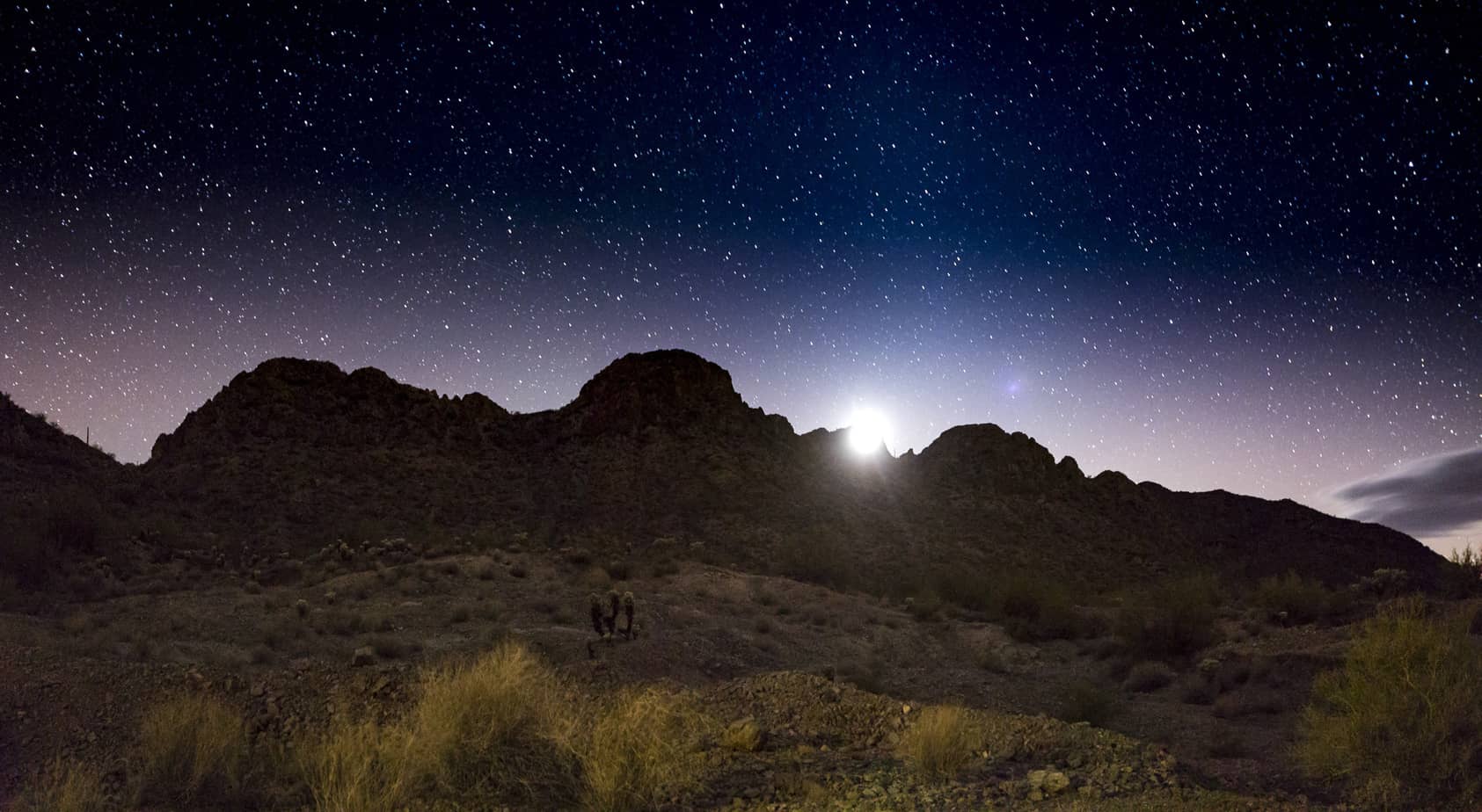
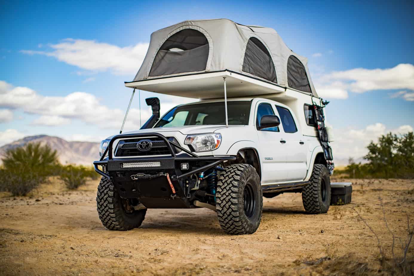
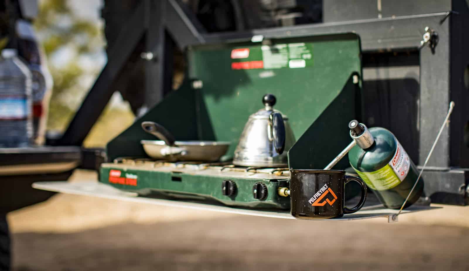
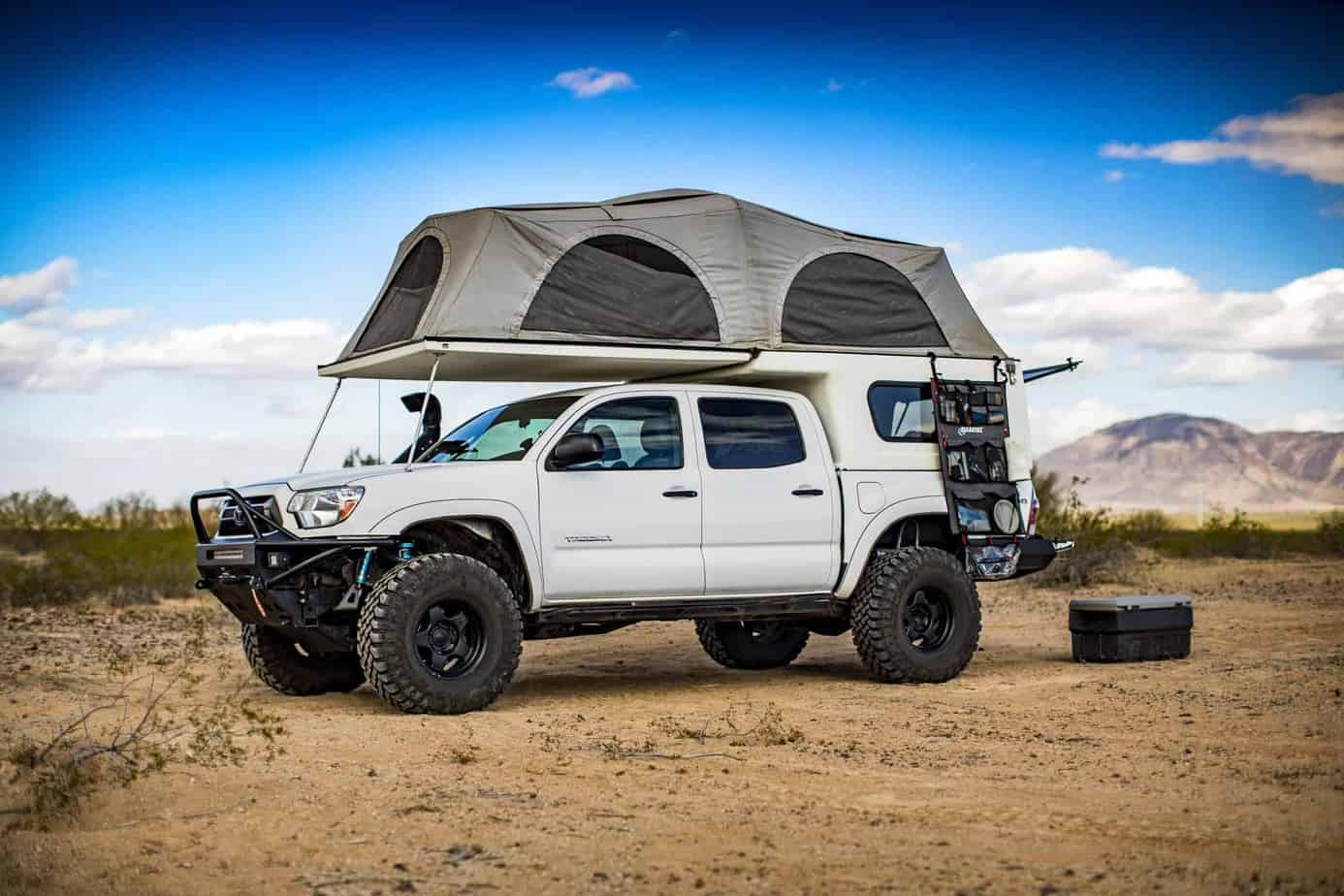
After having worked a 65-hour week at a work conference, Olivia and I needed to get out and decompress. We knew we wanted to go somewhere warmer than our last trip and neither of us had been to the extreme south end of Arizona, so we decided it was time! I didn’t have a ton of time to plan this trip out given my crazy work schedule which led to a few issues which you’ll read about later—we got off work on Thursday afternoon and took the rest of the day to plan and prep so we could leave early Friday morning. We had a stop planned down in El Cajon to see our good friends down at Pelfreybilt. Pelfreybilt has been monumental in the building of my truck over the past few years and I can’t say enough great things about Tyler, Satin, and the whole crew down there. After grabbing lunch and checking out their new shop, it was time to head even further south. Our original plan was to camp in the Jacumba area, but when we got on the trail there was a construction crew working that said the trail wouldn’t open for another hour or so. It was late afternoon/evening, and we knew we needed to find camp, so waiting another hour wasn’t gonna happen. We hopped back on I-8 and headed east. I didn’t know the area at all but found some 4×4 trails on my topo maps with some cool-looking topography, so we headed that direction. After searching through the trails and it being almost dark, we found a great spot that had a fire ring, but it looked as though no one had been back there in quite some time. We set up camp, cooked some dinner, and relaxed by the fire watching shooting stars and constellations; there was no moon this night so we could see everything perfectly.
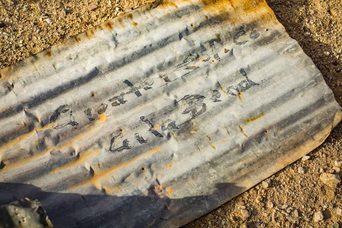
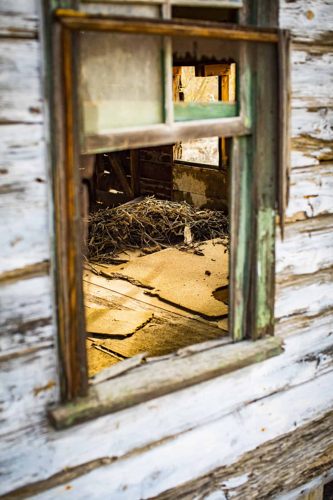
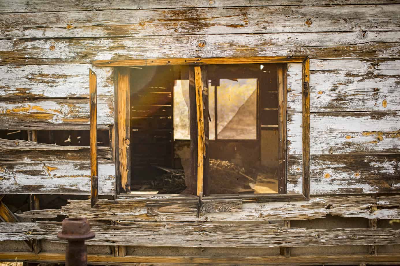
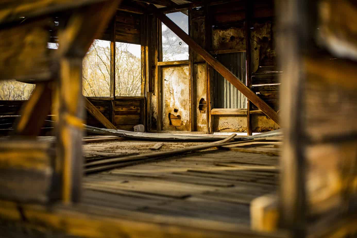
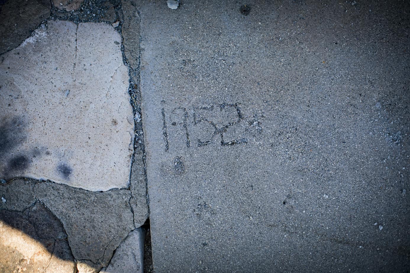
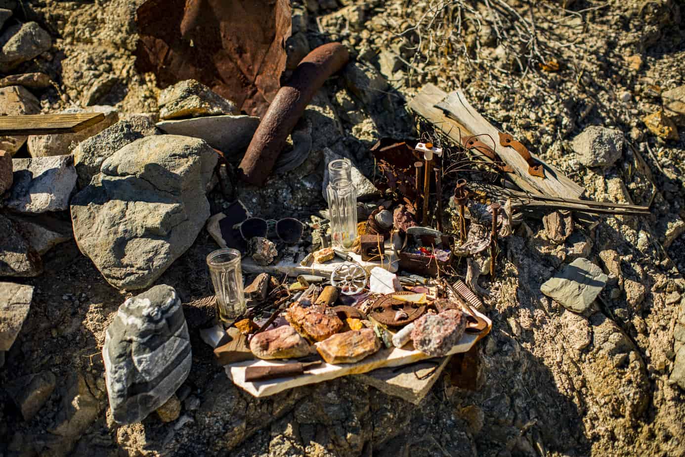
The next morning, we woke up to cook breakfast, make coffee, and explore our surrounding area which proved to be pretty interesting. I knew there was a prospect mine at the end of the wash but we found that there used to be a structure just across with us that was littered with old cans and artifacts from a lifetime ago. We had no schedule, so we packed up and headed east toward Yuma, stopping at a rather well-known hot spring which we thought we might take a dip in. It was so packed we decided to keep trekking.

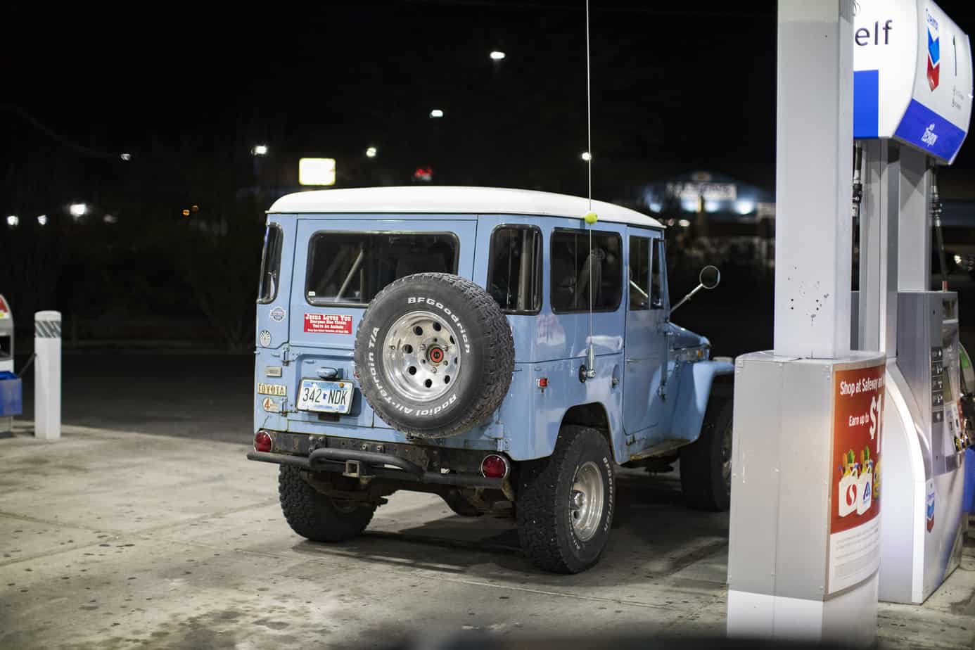
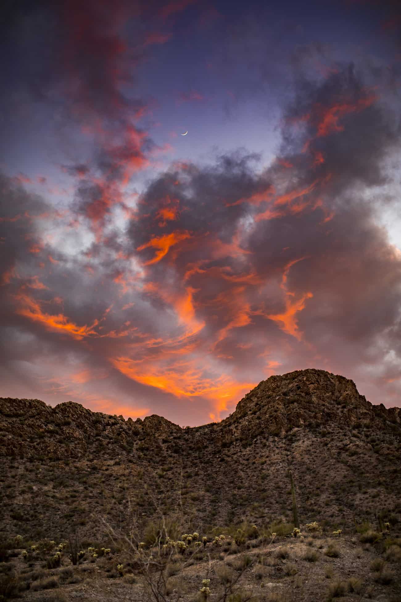
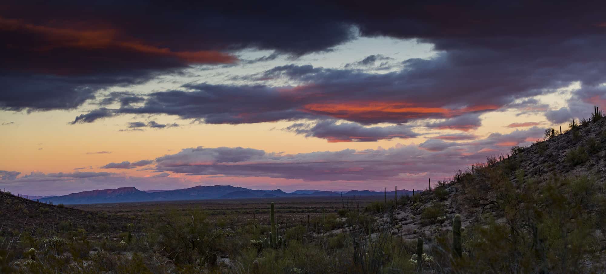
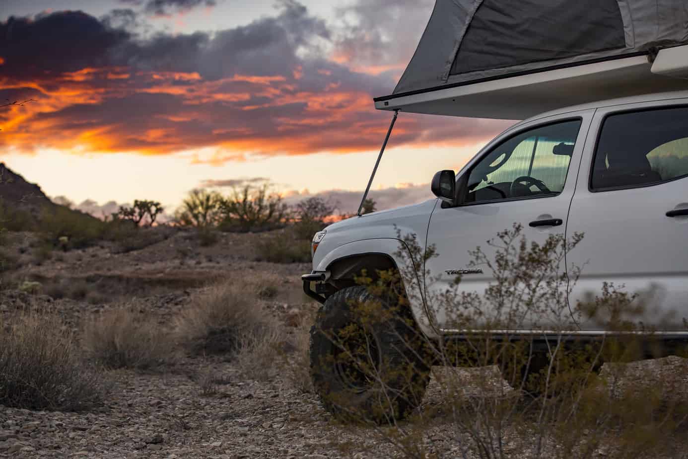
We stopped in Yuma for gas and to grab lunch in Old Town Yuma where we ended up walking around and checking out the area for a little longer than we should have; this is what caused us to get to camp way too late. After that, we hit the road, with it approaching evening, and us still being three or so hours away from where we planned on camping. We thought we’d stop in the Sonoran Desert National Monument to camp, but we didn’t find anything worthwhile; we did catch an epic sunset and cool FJ40 at the gas station, though.
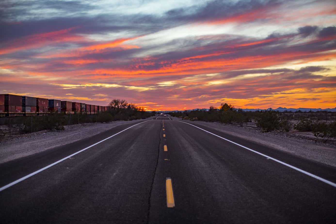
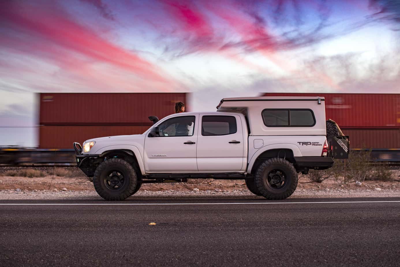
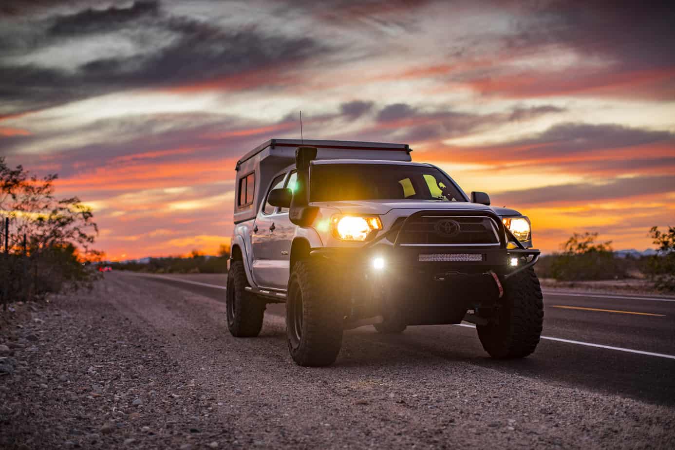
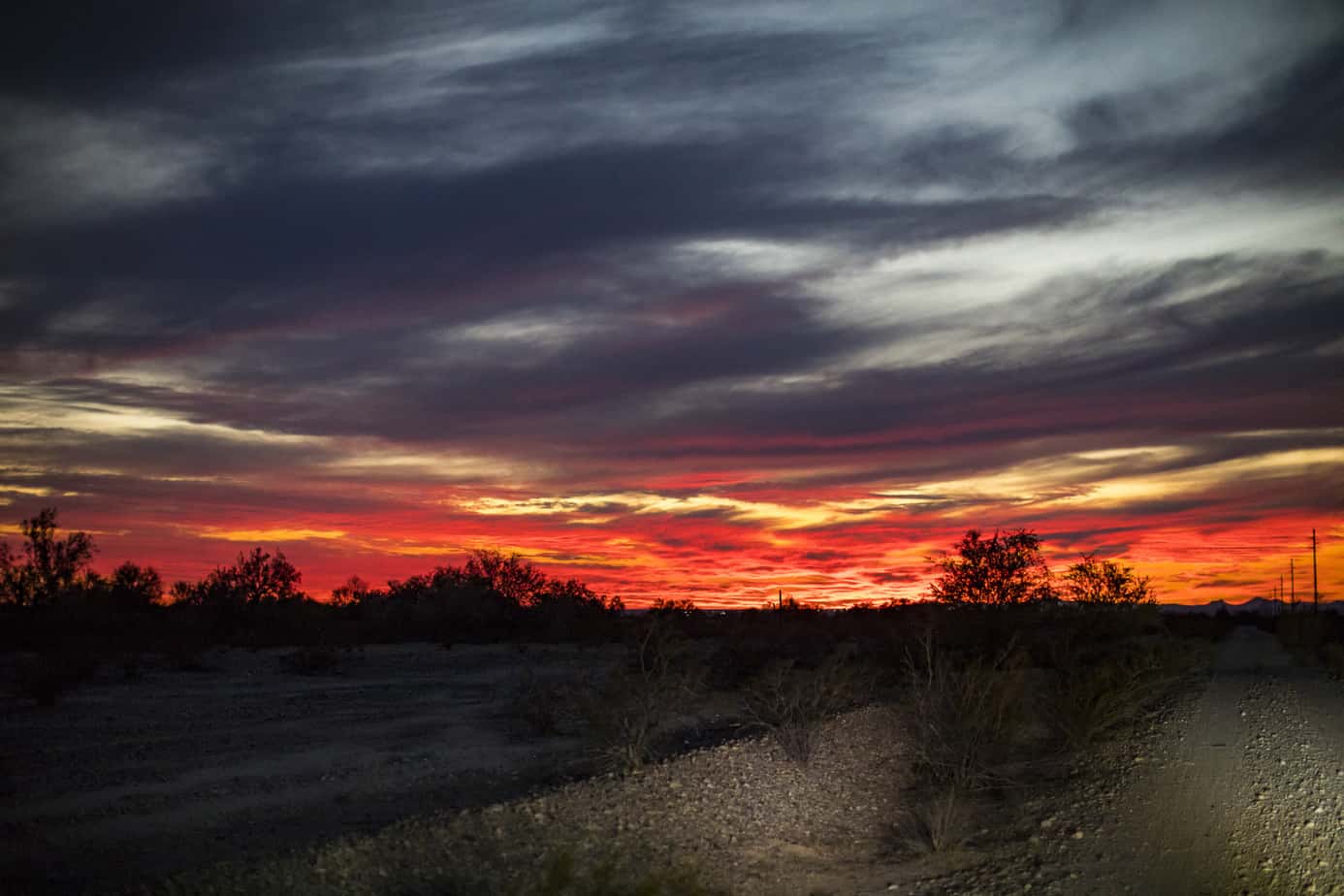
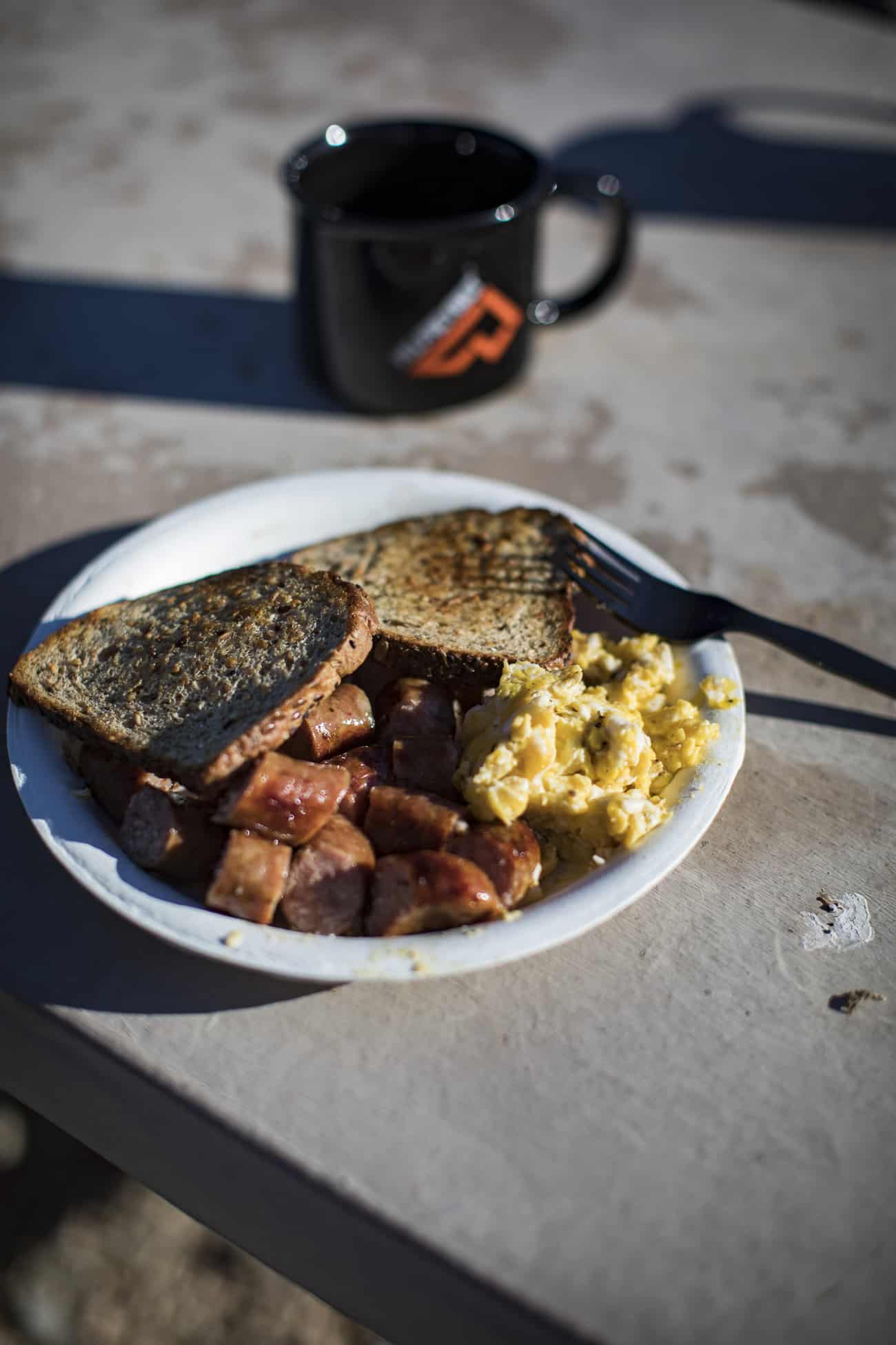
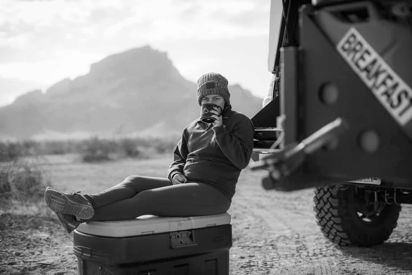
Since we didn’t find a good camp spot, we figured we’d just get the driving over with and head toward Organ Pipe that night and get to camp late. Well, this is where the problem really started. Once we got into Organ Pipe, we weren’t able to find any dispersed camping because when researching the area I misunderstood their definition of backcountry camping. It really means you have to park your car along the road and hike 1/2 a mile off the road which doesn’t really work when you wanna sleep in your camper, ha ha. So we ended up in a campground which I can’t stand, but I just wanted to get out of the truck and relax. After a good night’s rest, we woke up and made a delicious breakfast to get us ready for the long day ahead.
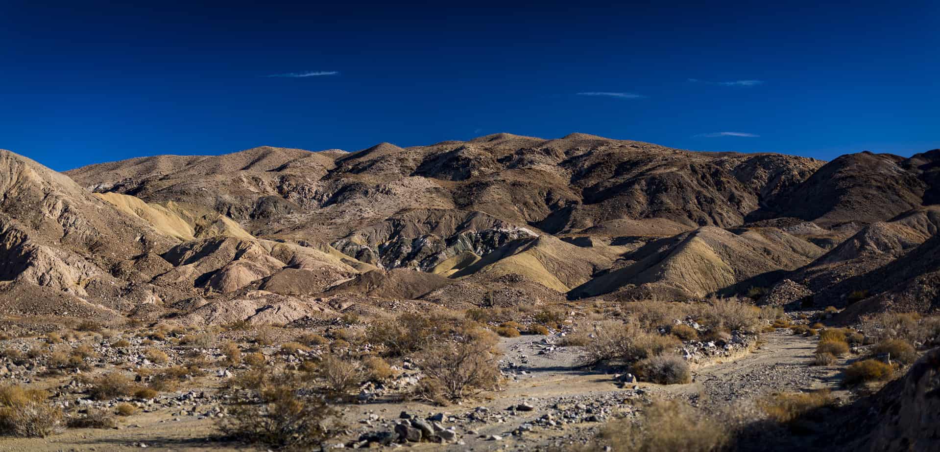
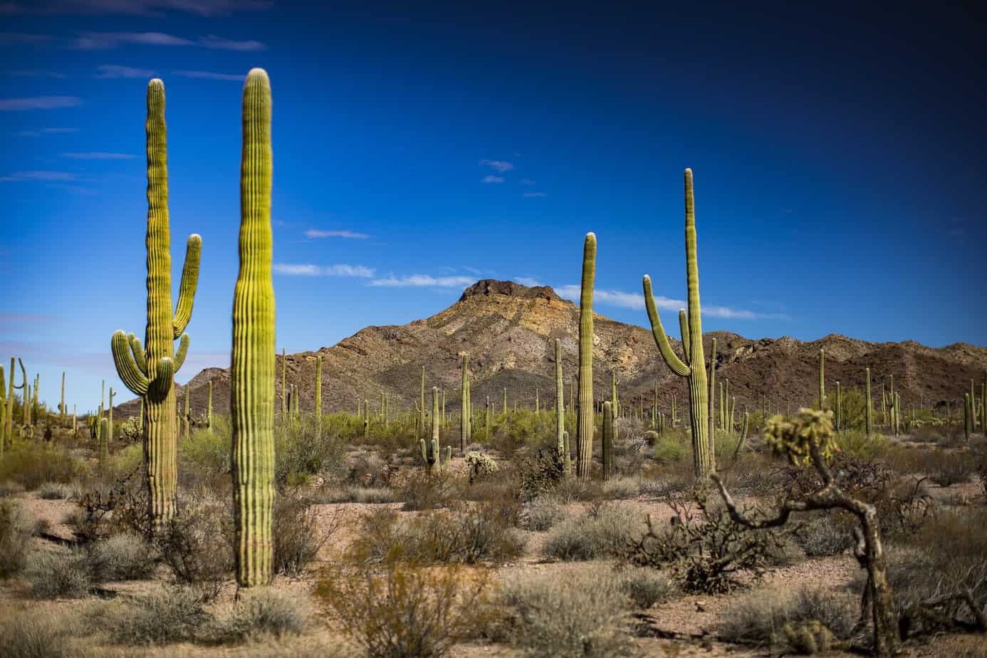
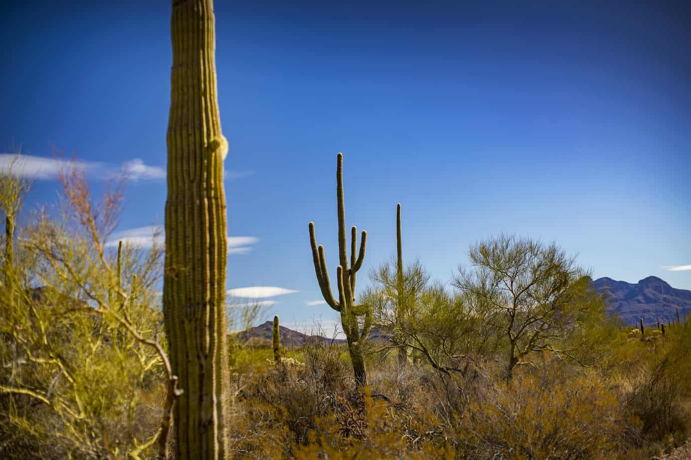
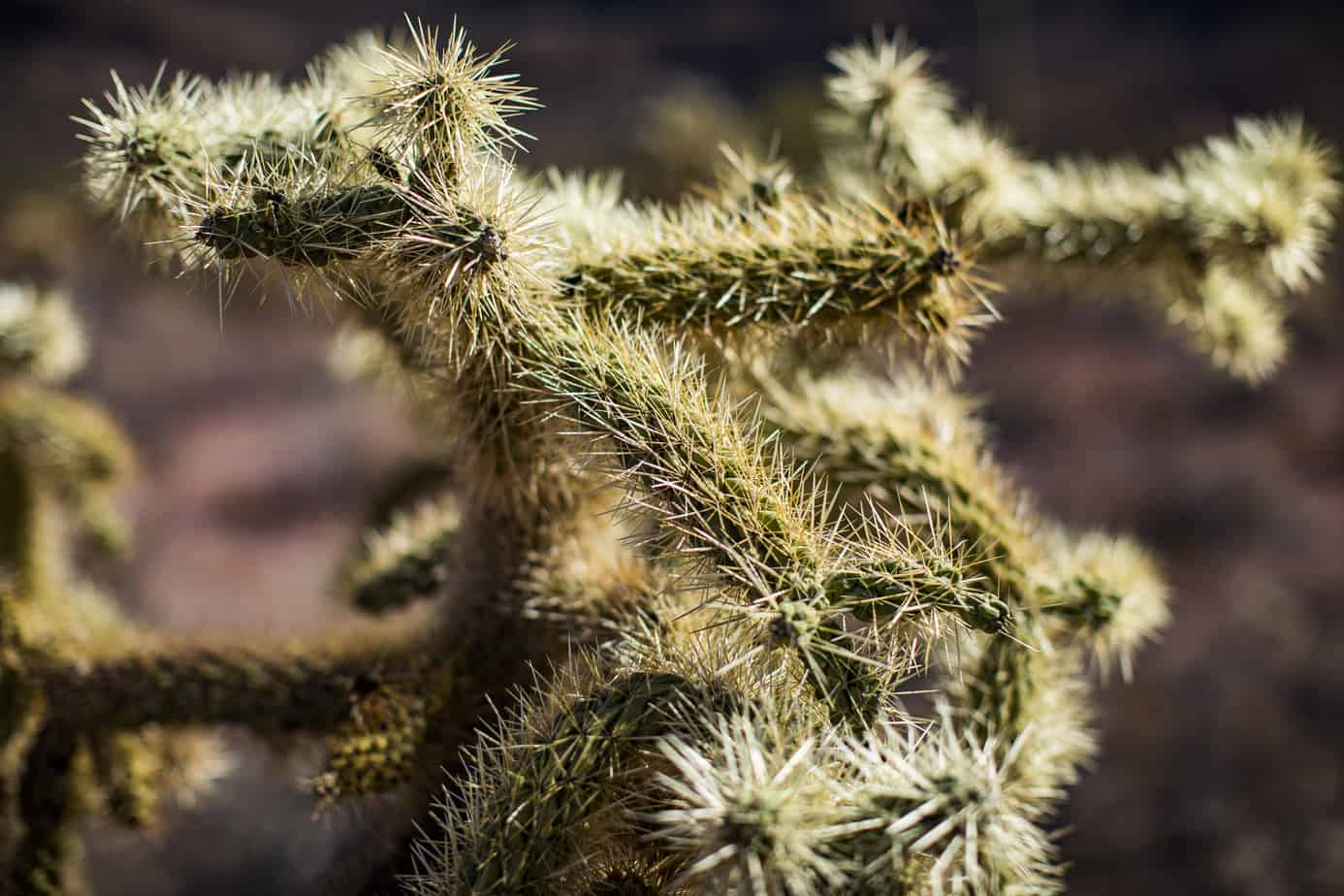
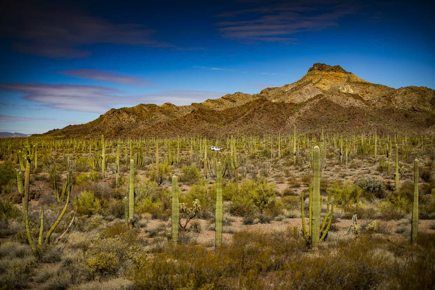
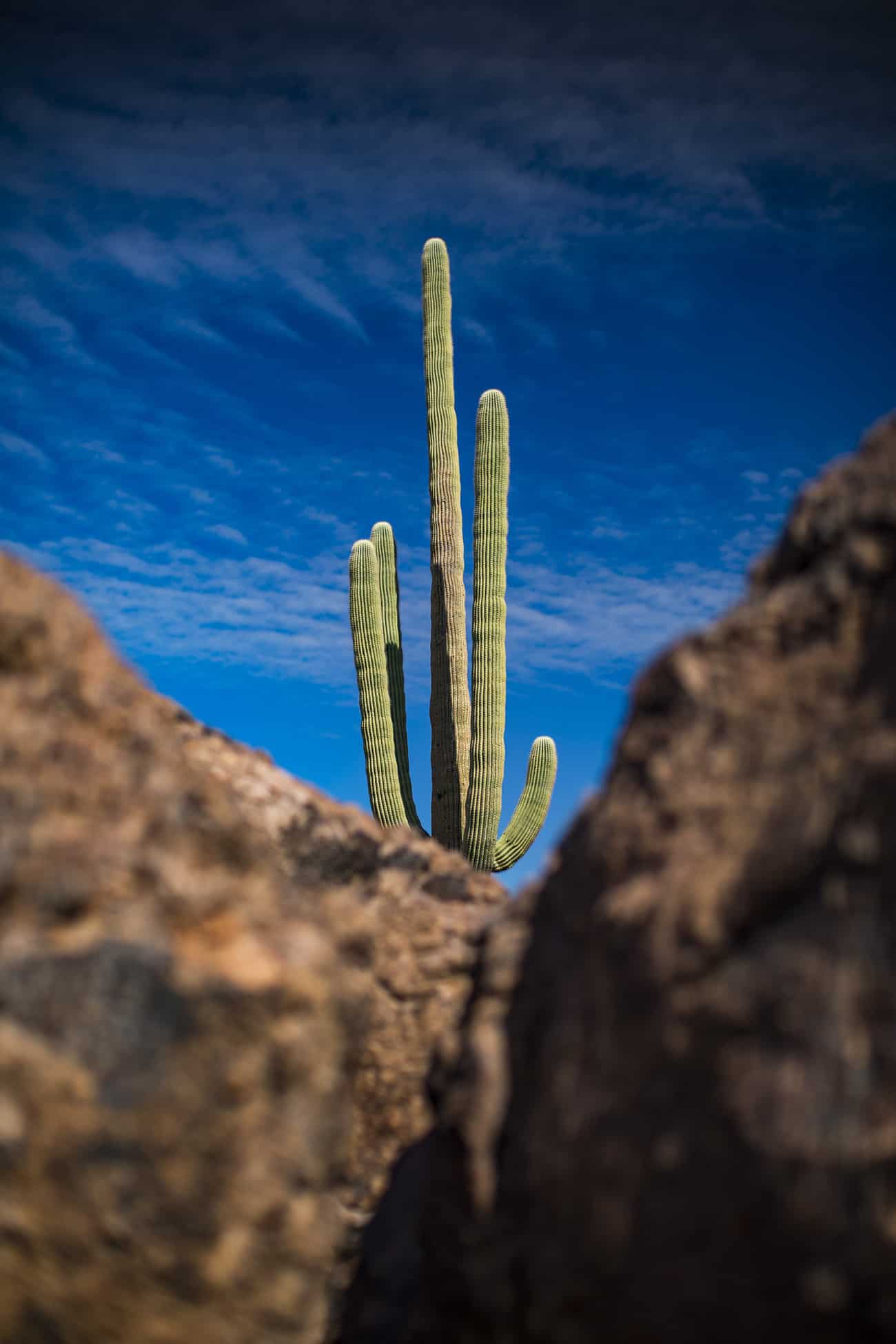
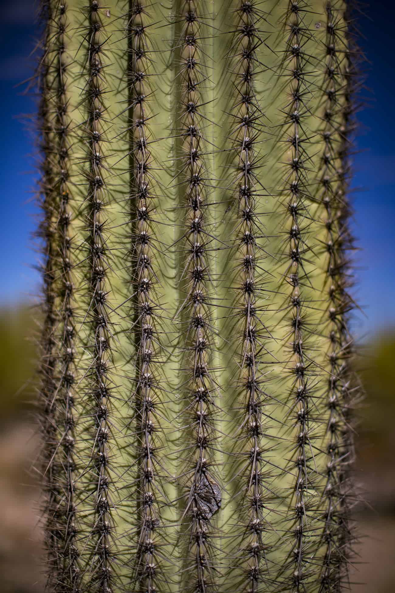
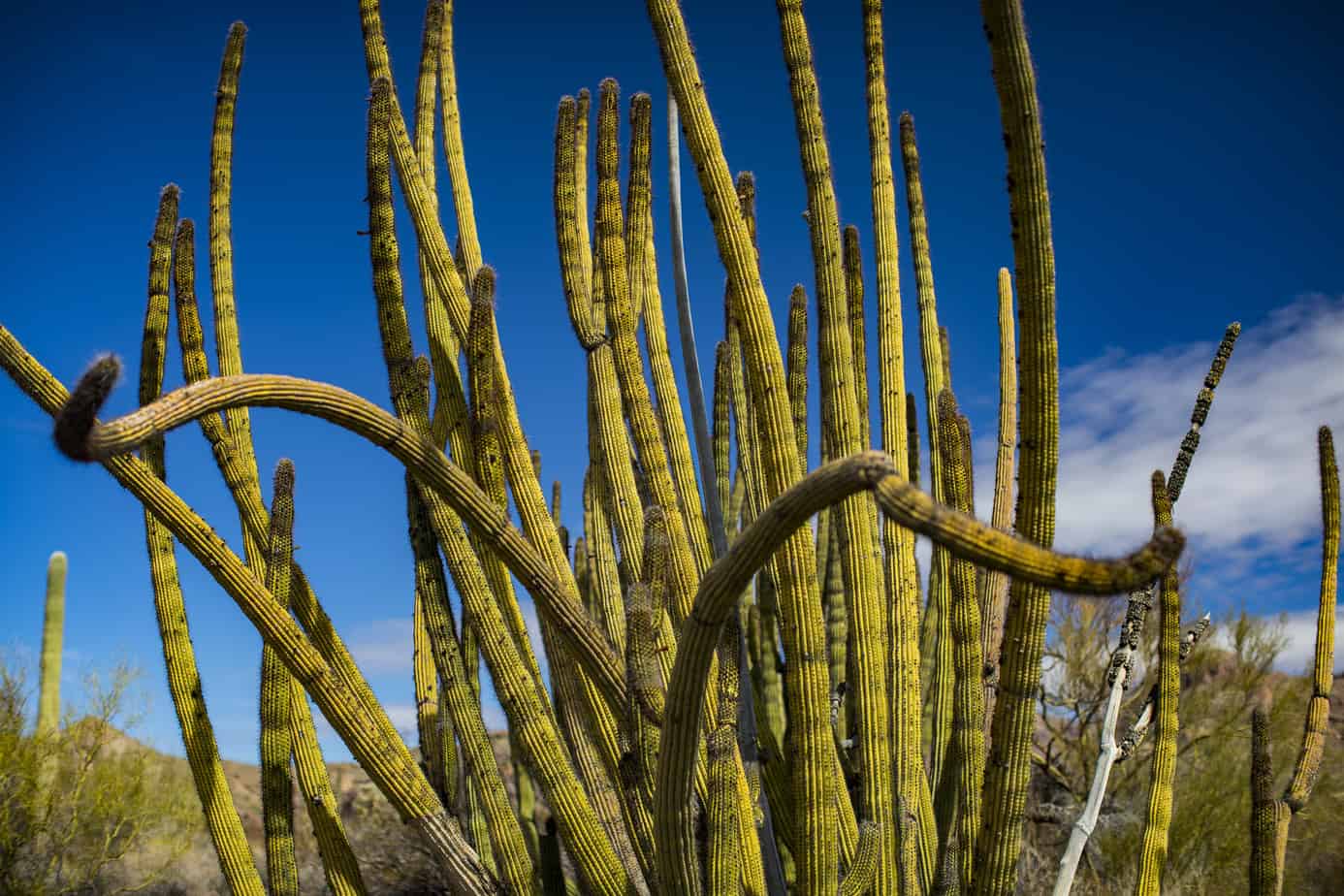
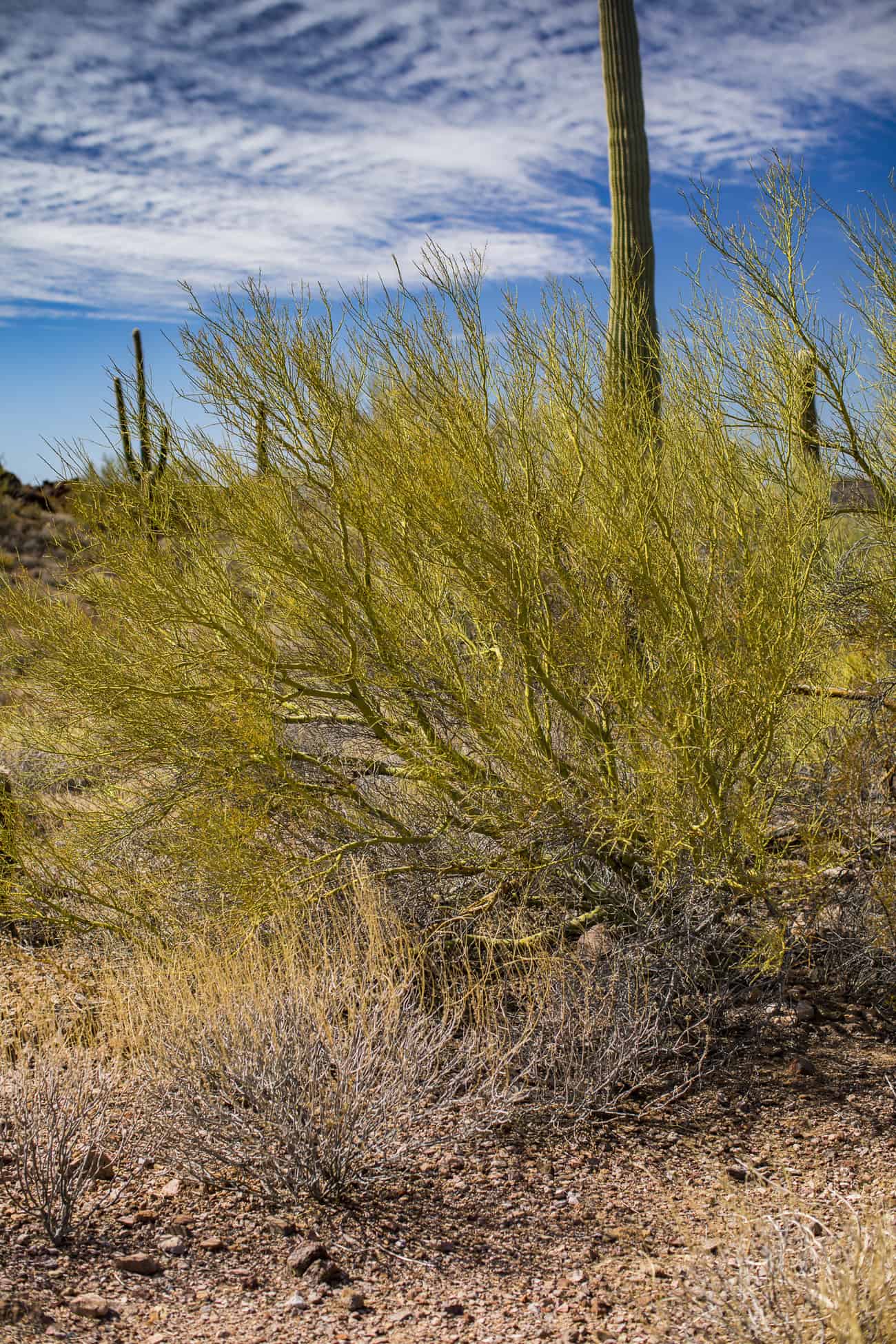
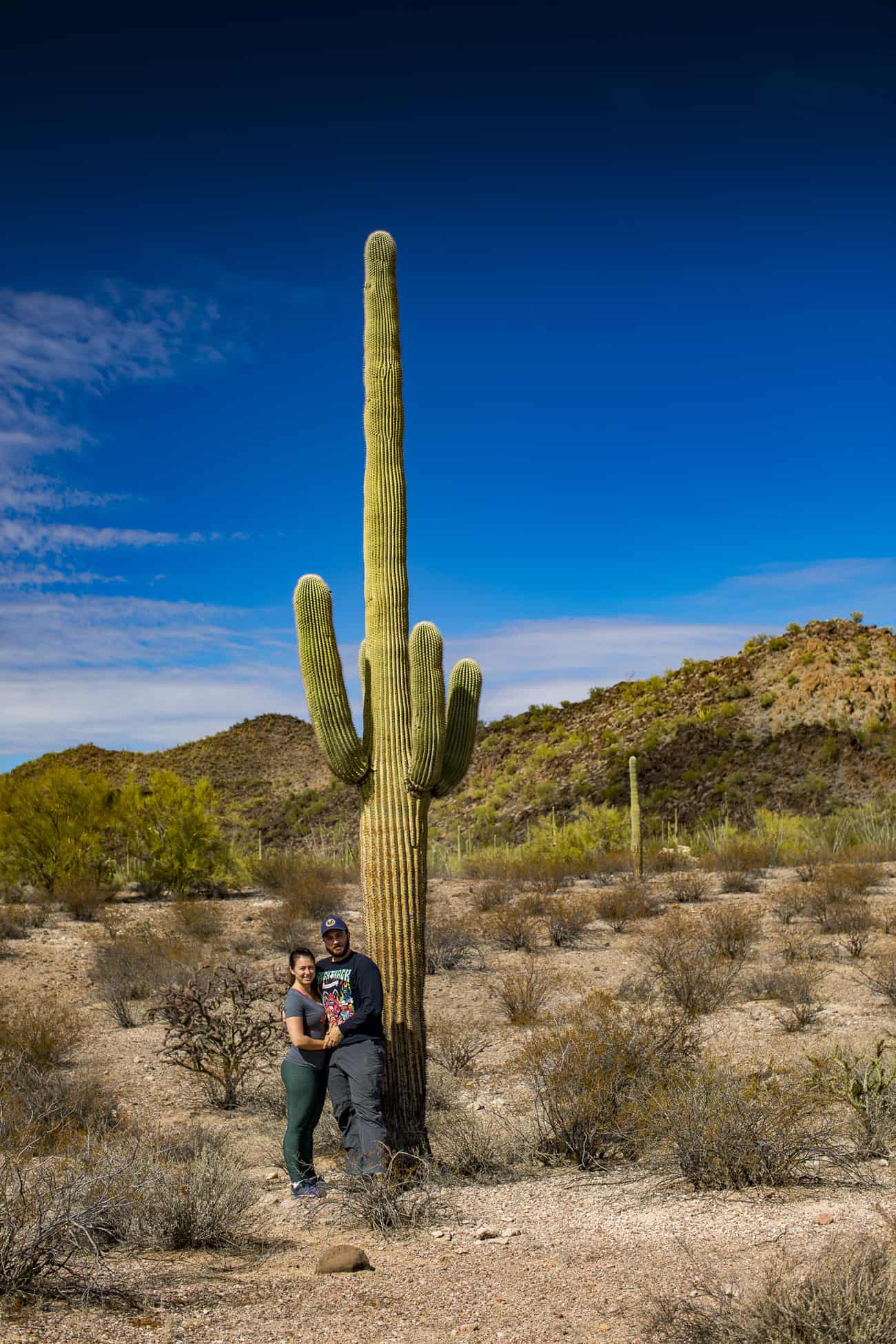
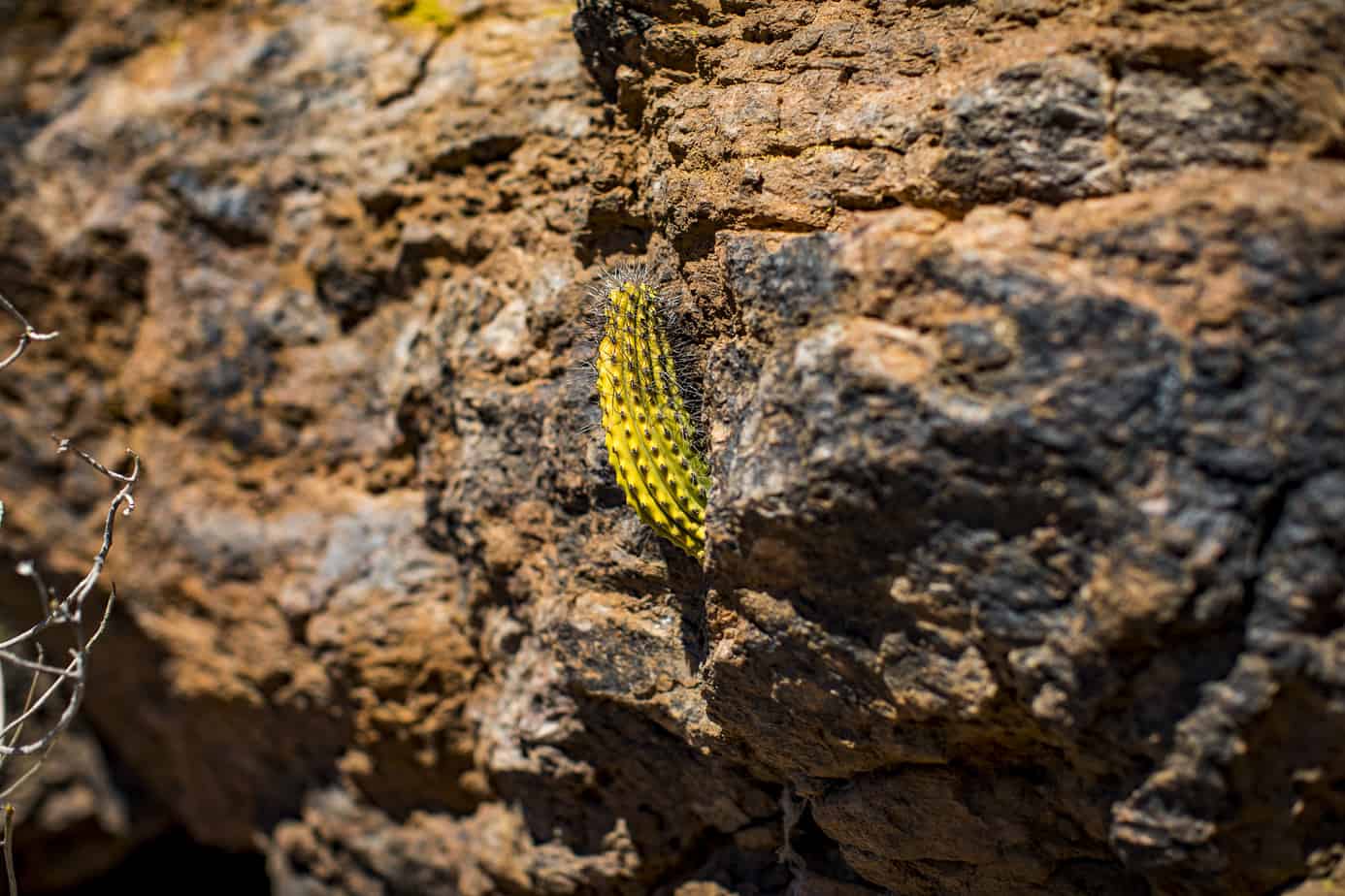
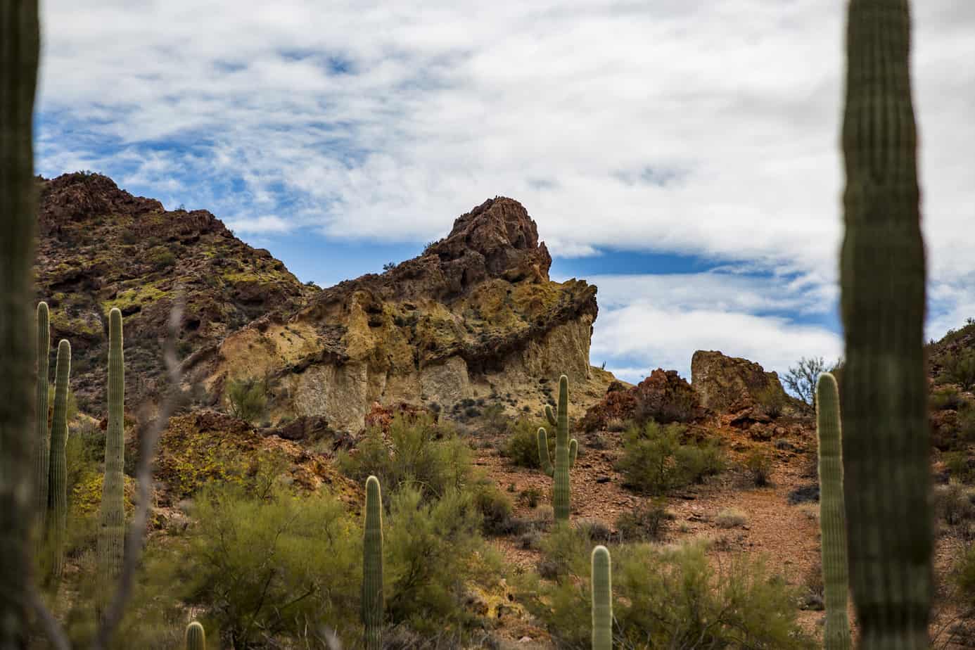
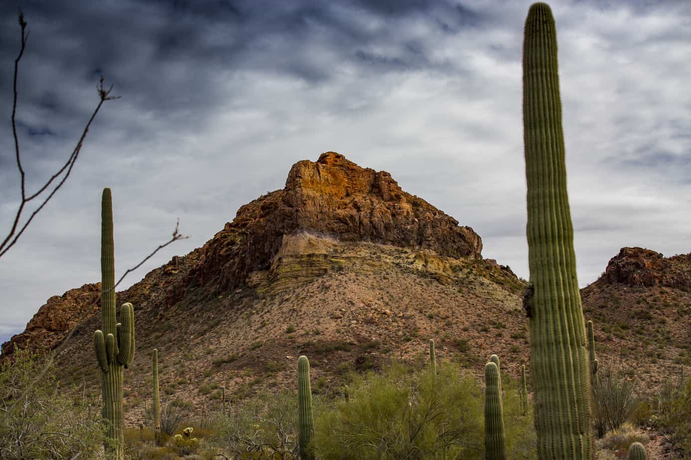
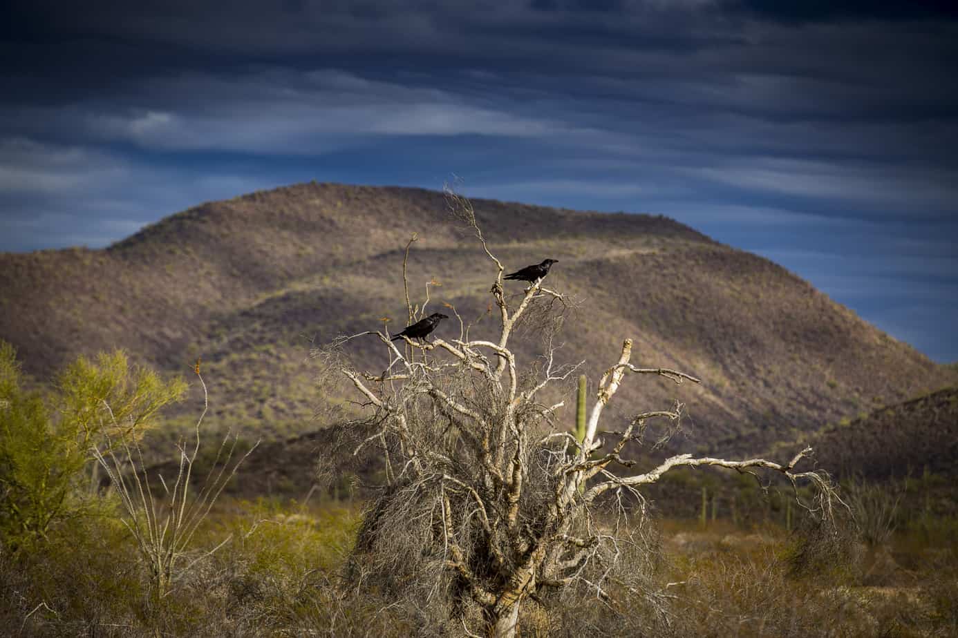
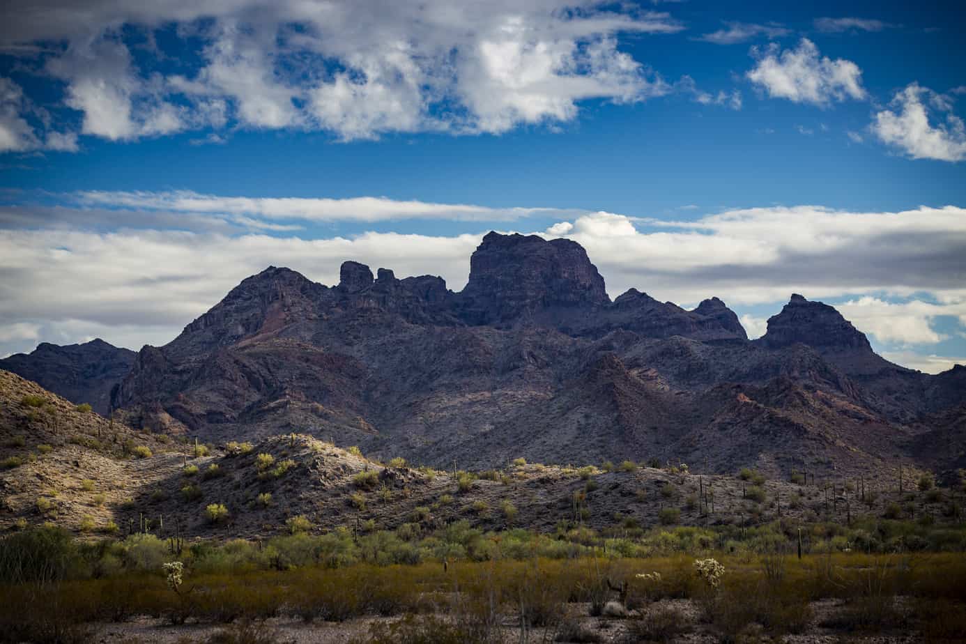
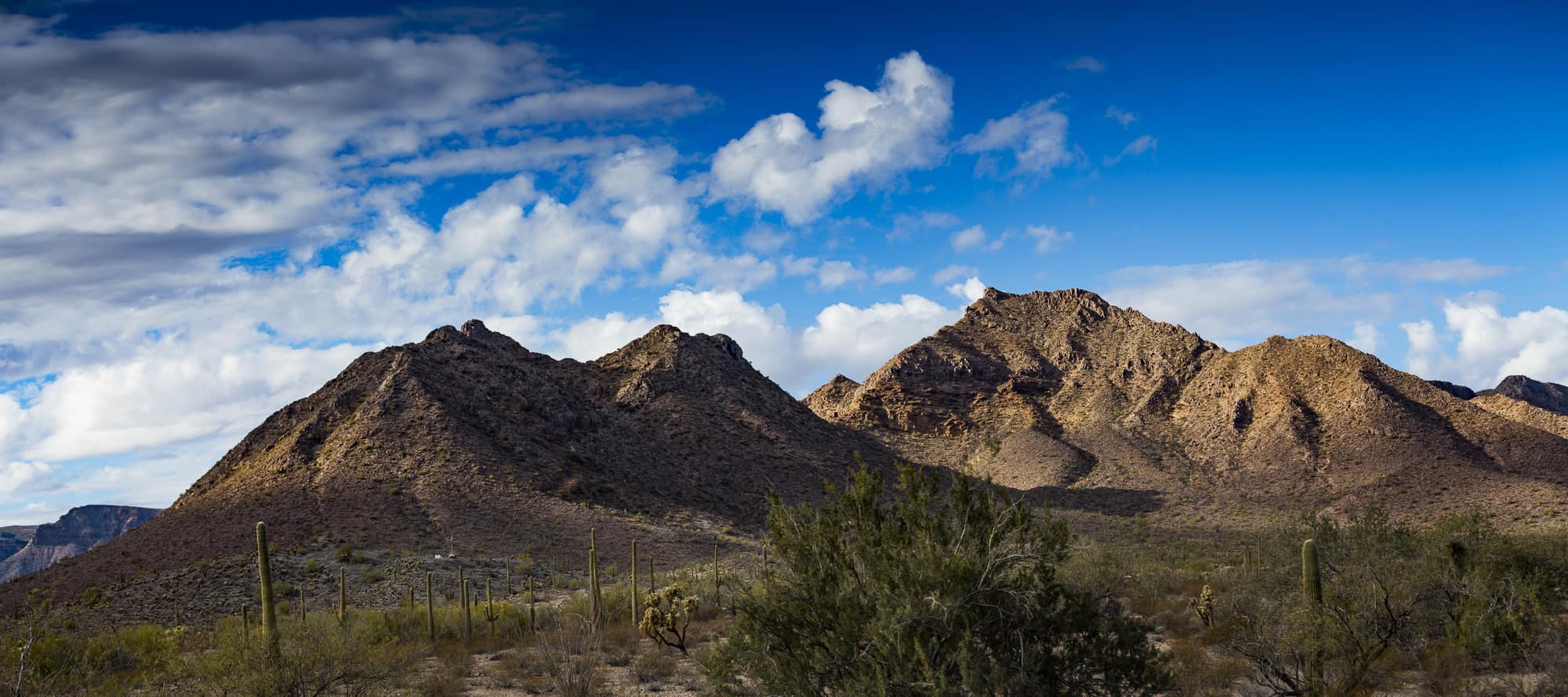
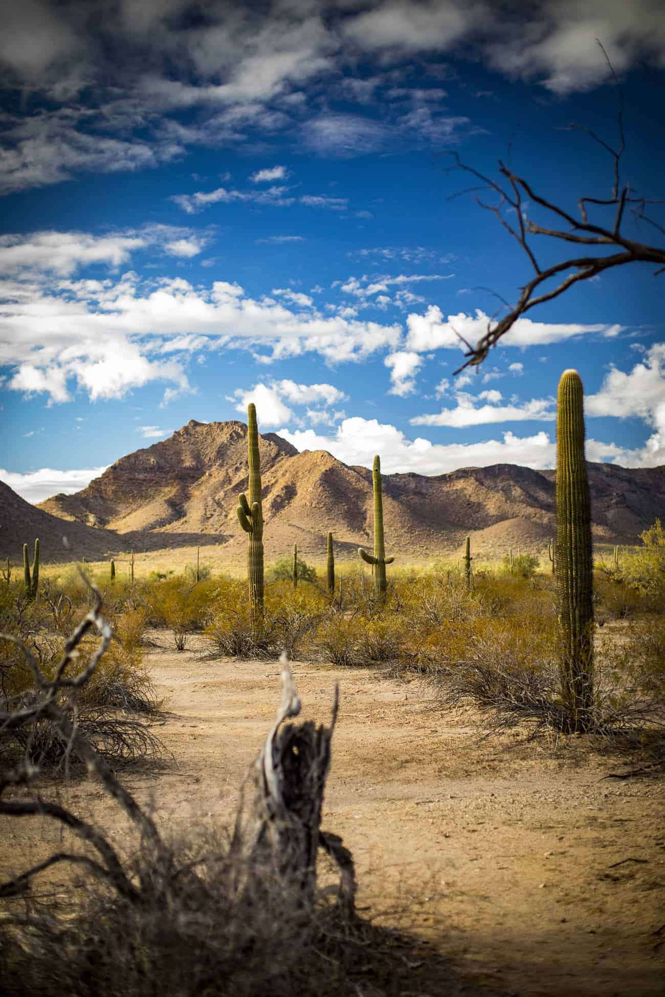
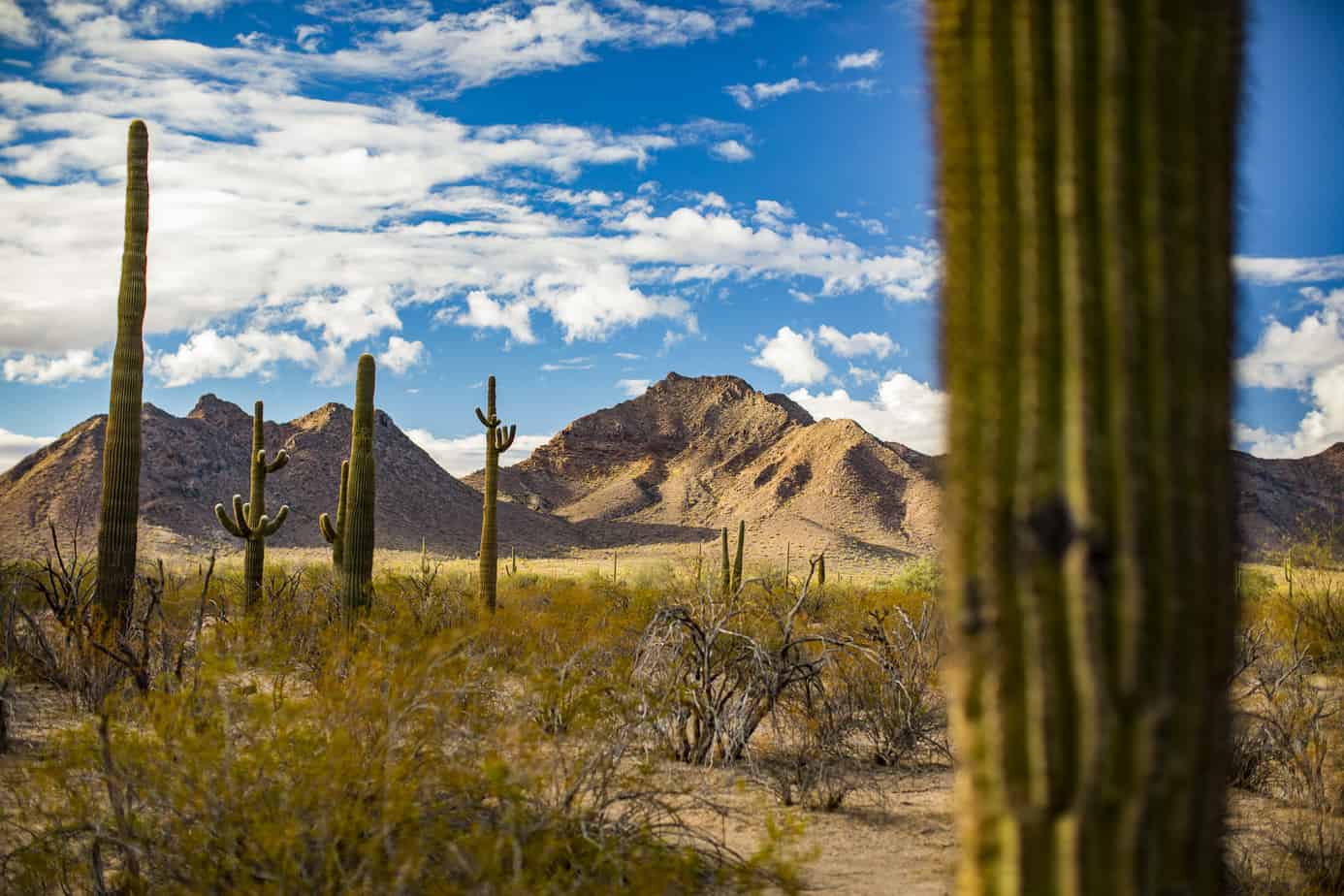
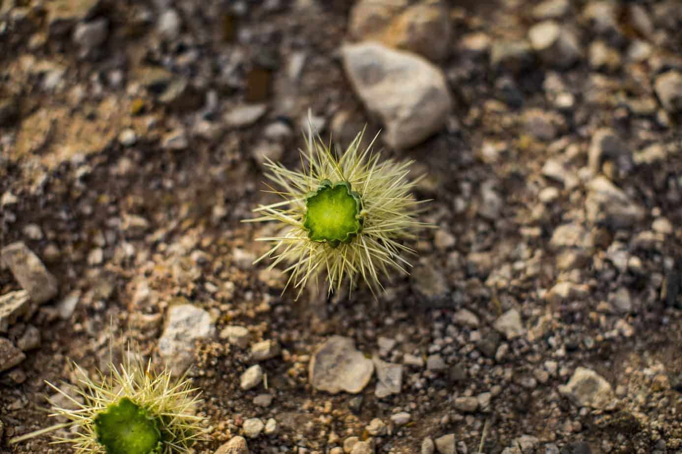
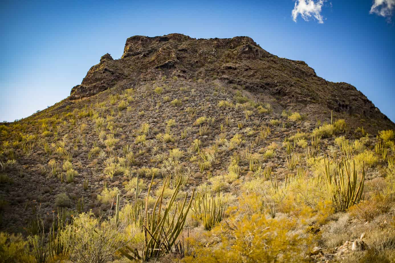
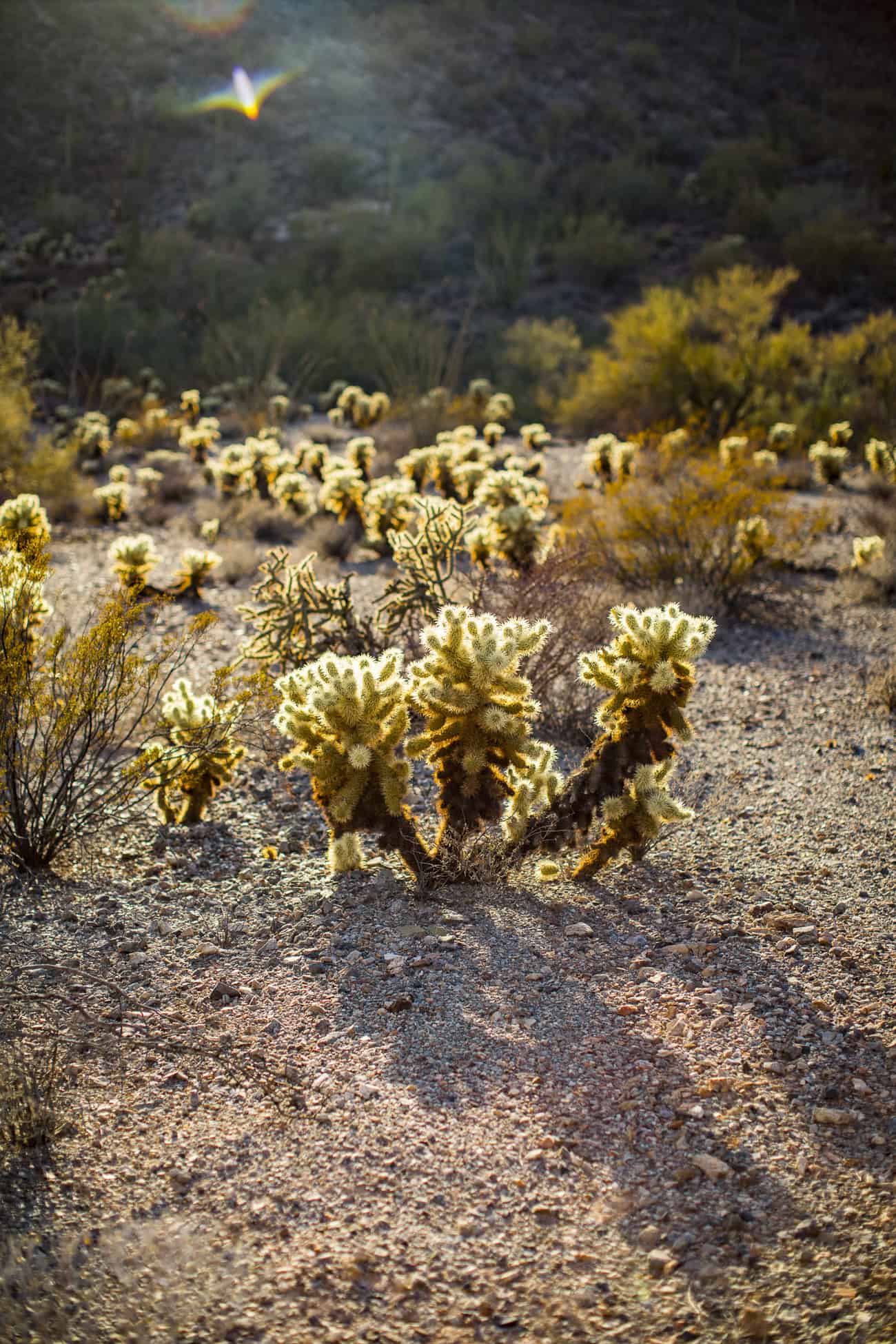
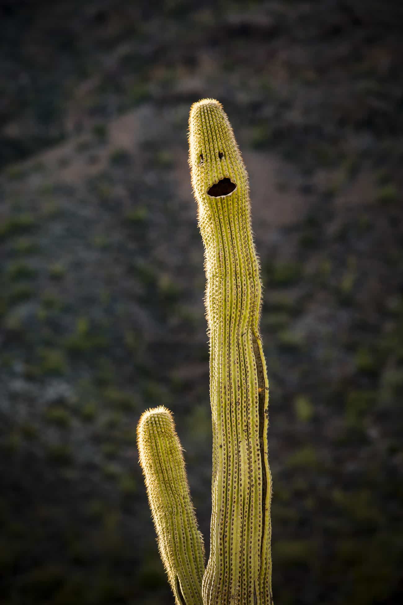
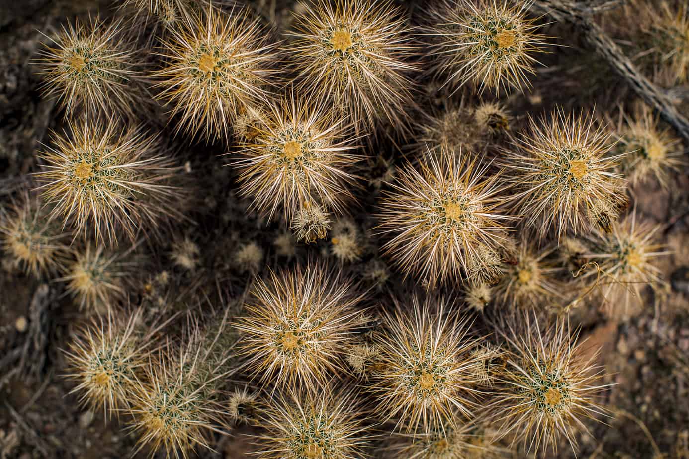
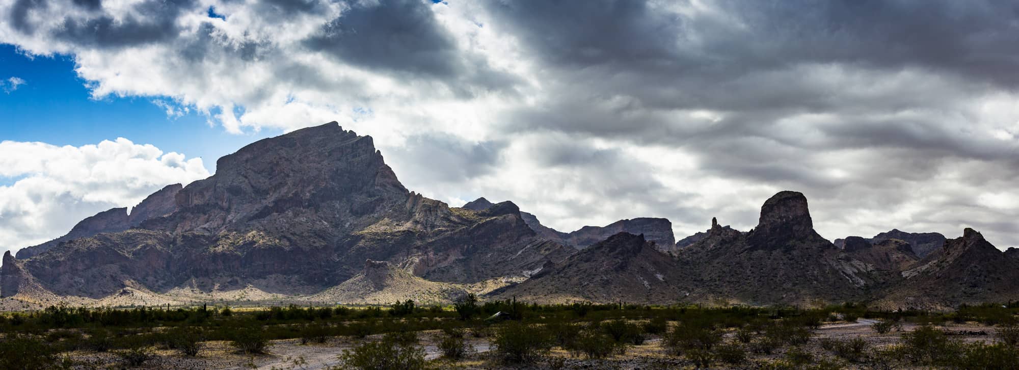
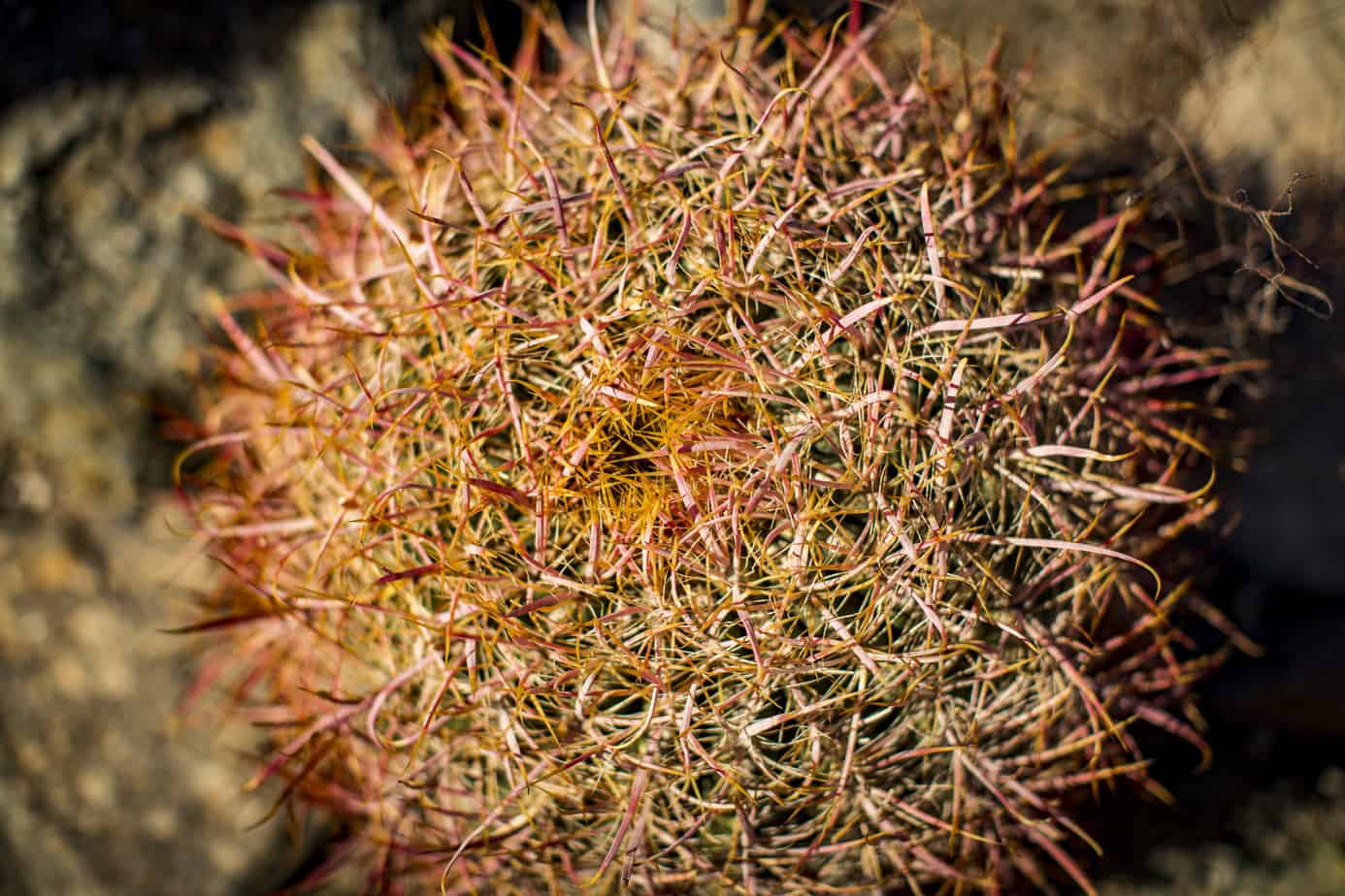
Organ Pipe is a very special place, but you have to set your expectations. I can’t stand national parks and monuments for the most part because I hate crowds and tourist traps. That said, Organ Pipe is not like that in all areas; there are spots at the monument you will find yourself shoulder to shoulder with other people, but there are also super remote areas where you will be totally alone. We opted to do one of the more well-known routes called Ajo Mountain Road before heading off into the more remote parts of the park. Despite the name, Organ Pipe National Monument it is also home to the largest cactus species in the US, the saguaro. Saguaros can grow over 40 feet tall with the largest one ever recorded at a whopping 78 feet tall! It can take up to 75 years for them to grow their first “arm,” and some may never grow any arms at all; they’re all unique and if you haven’t been down to see them I highly recommend you do! The second most well-known cactus is the organ pipe which is the second-largest cactus here in the US and has a much different shape—they get their name seeing as they can resemble the pipes behind an organ. There are some very impressive examples of both cacti along with many others along this drive.
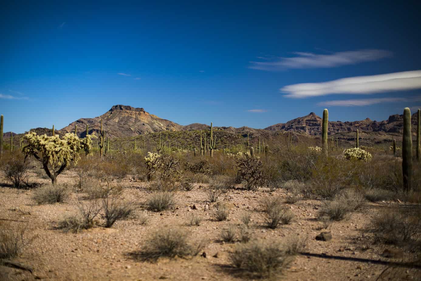
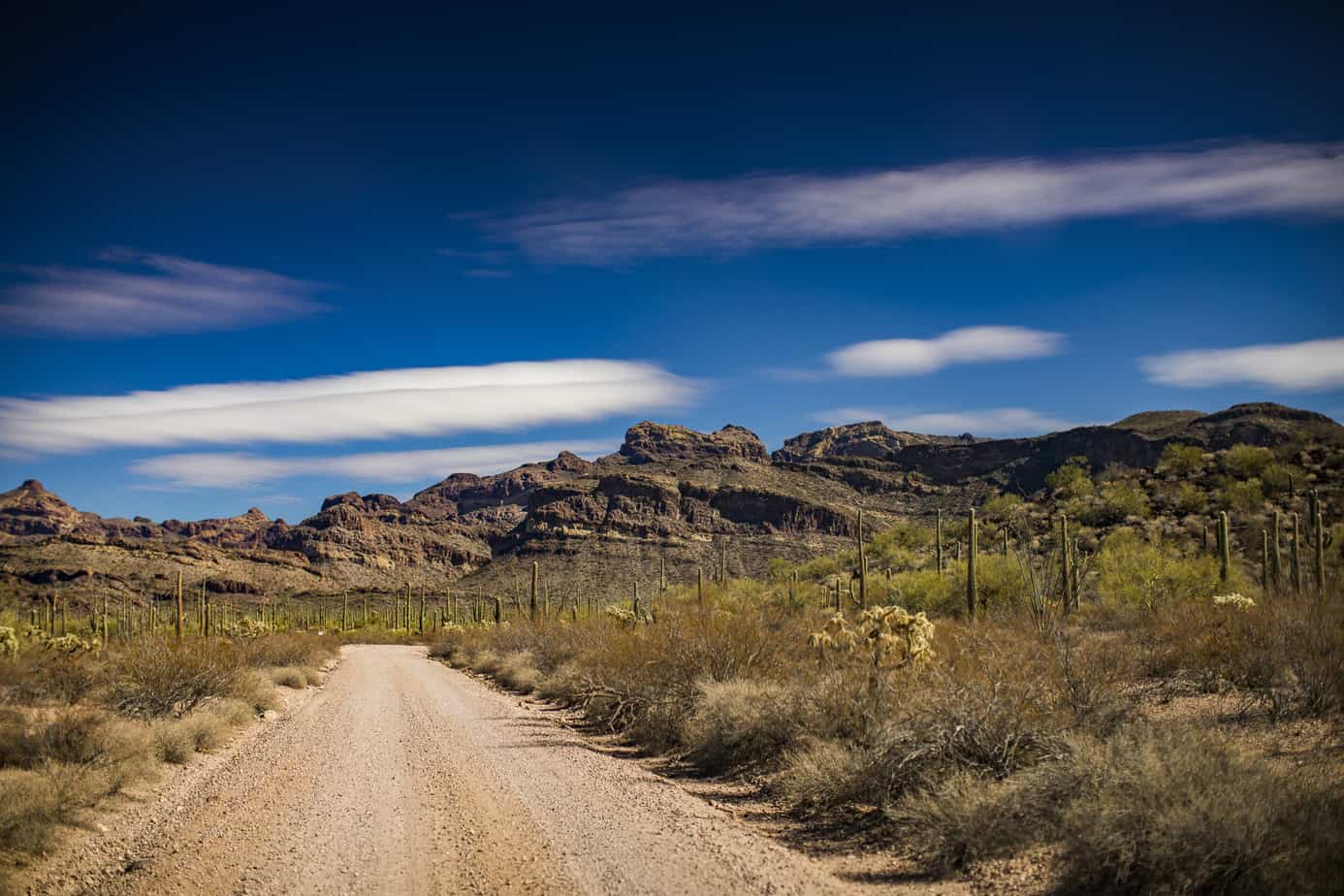
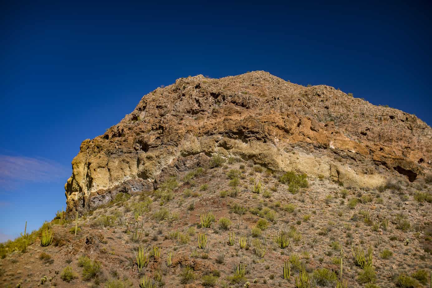
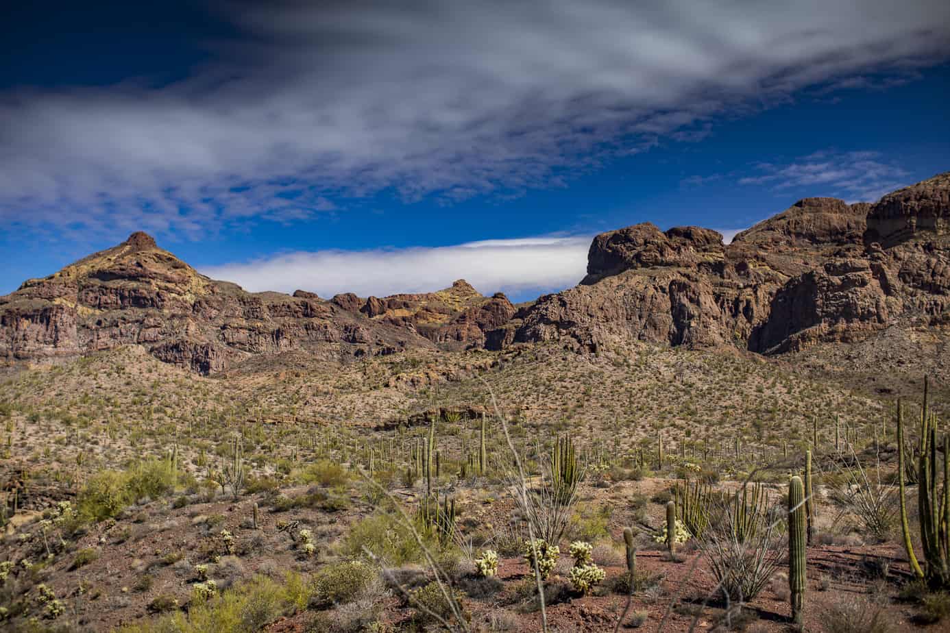
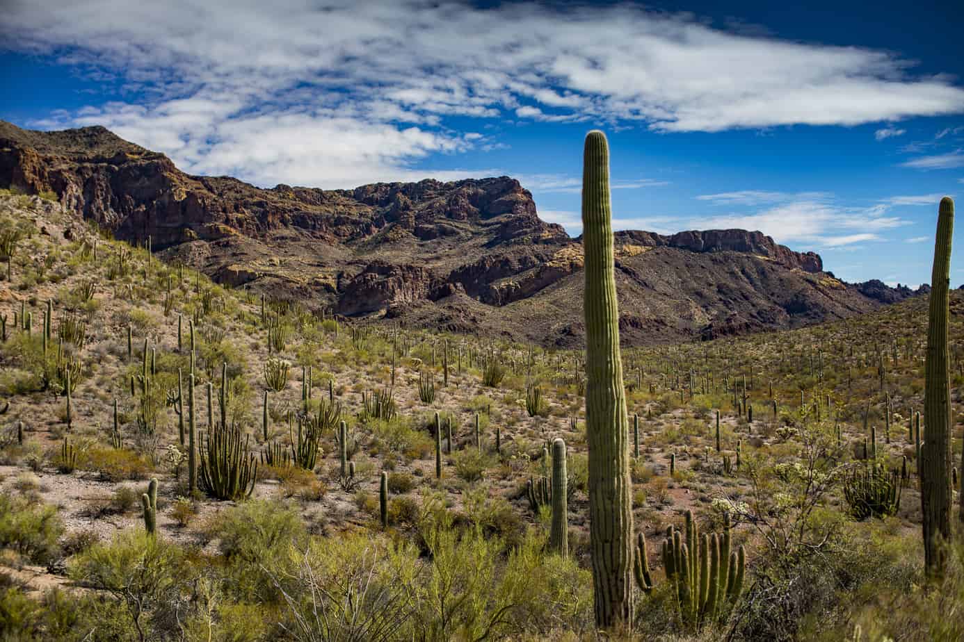
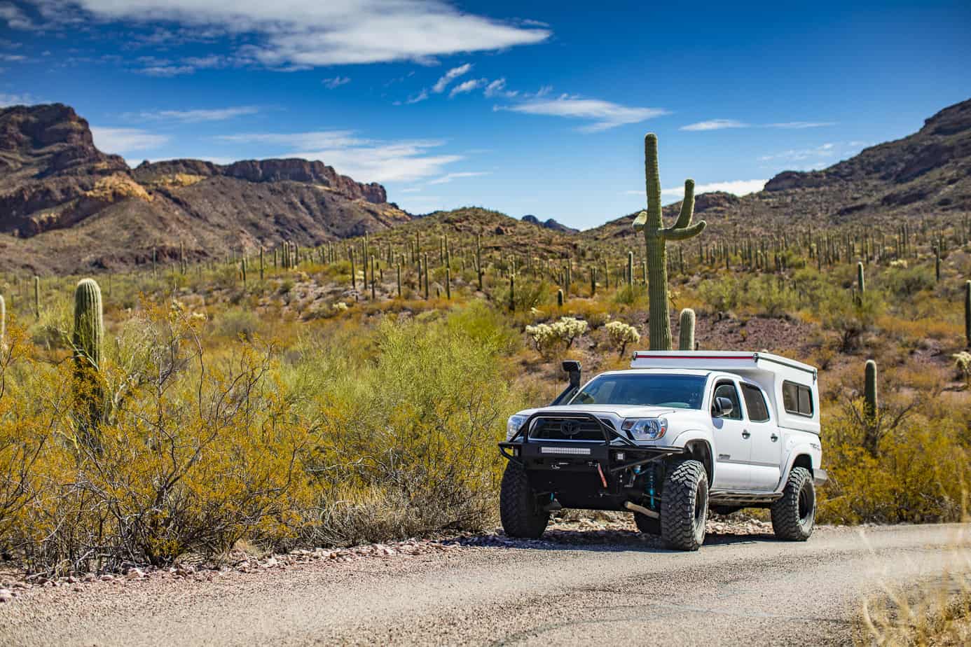
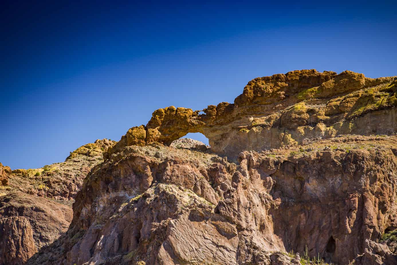
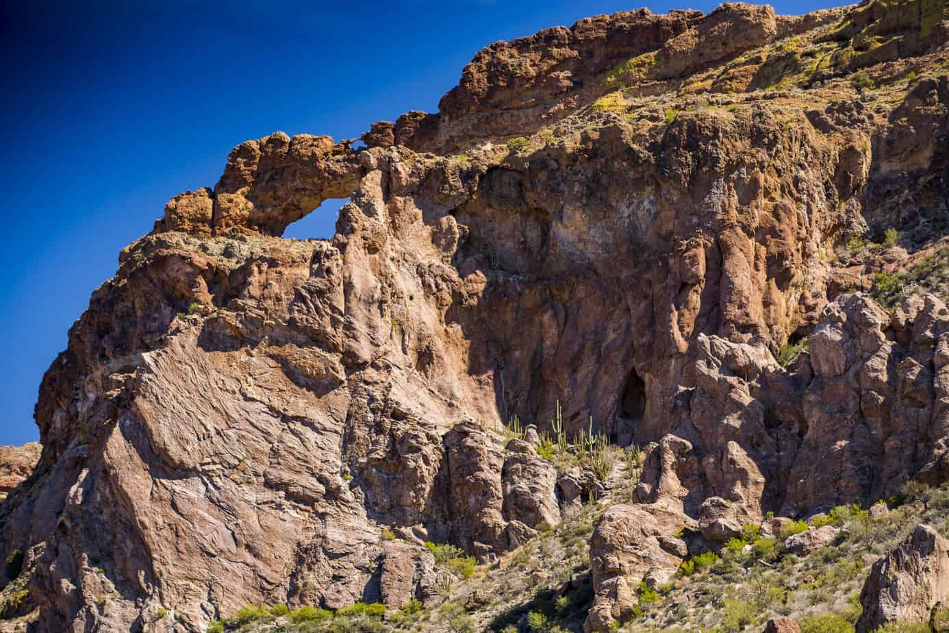
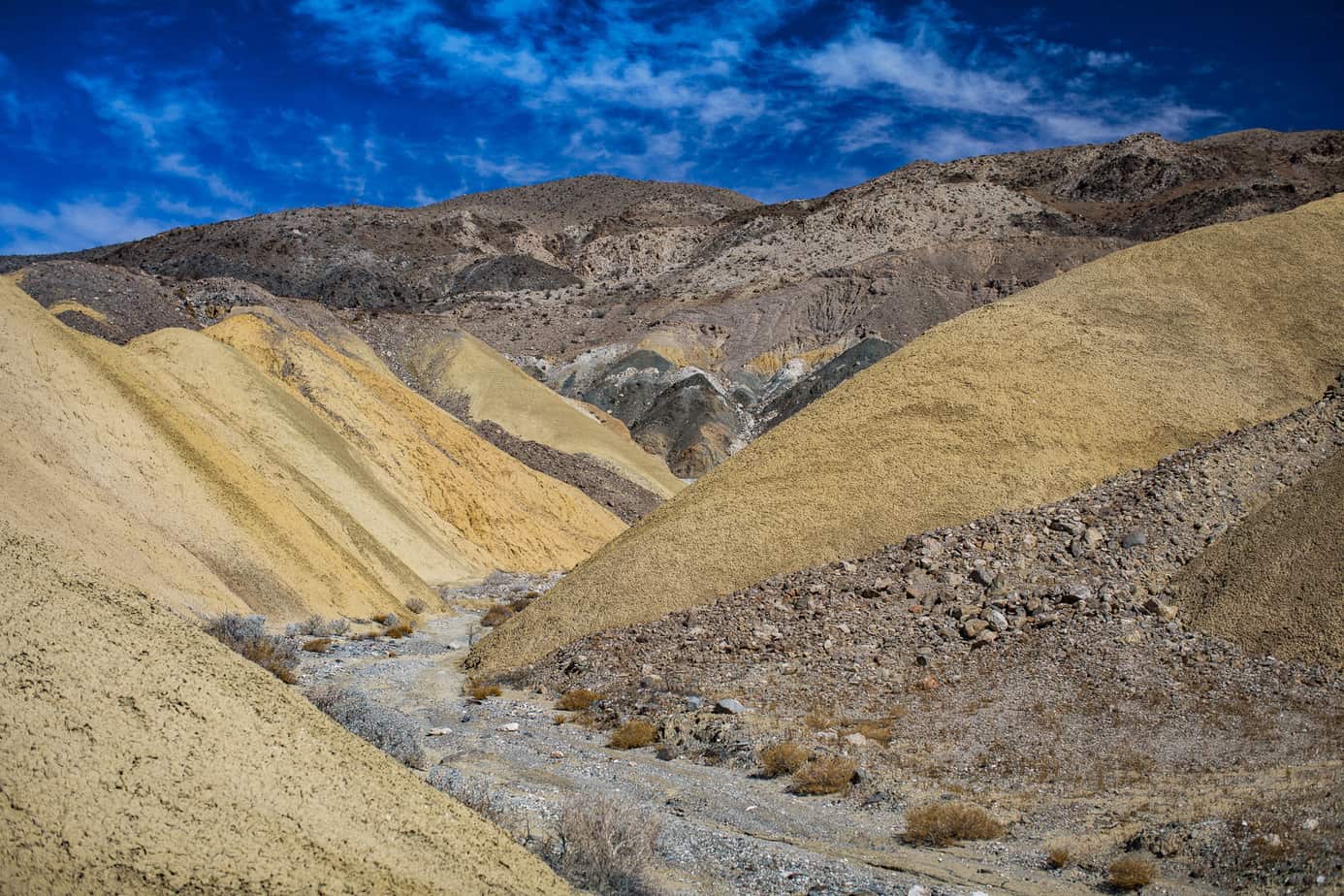
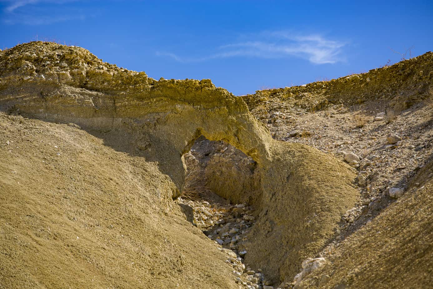
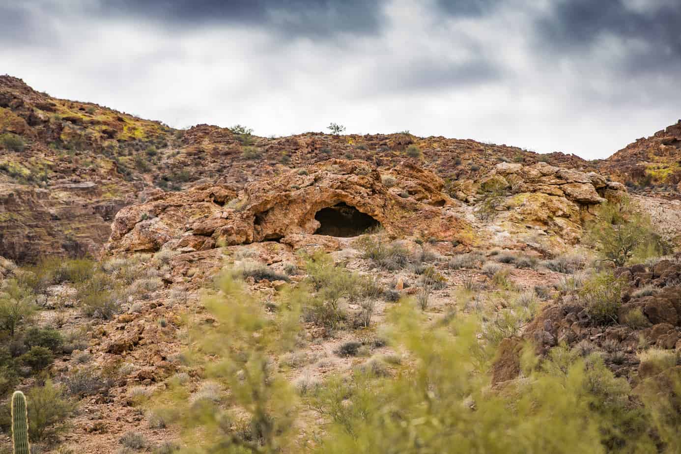
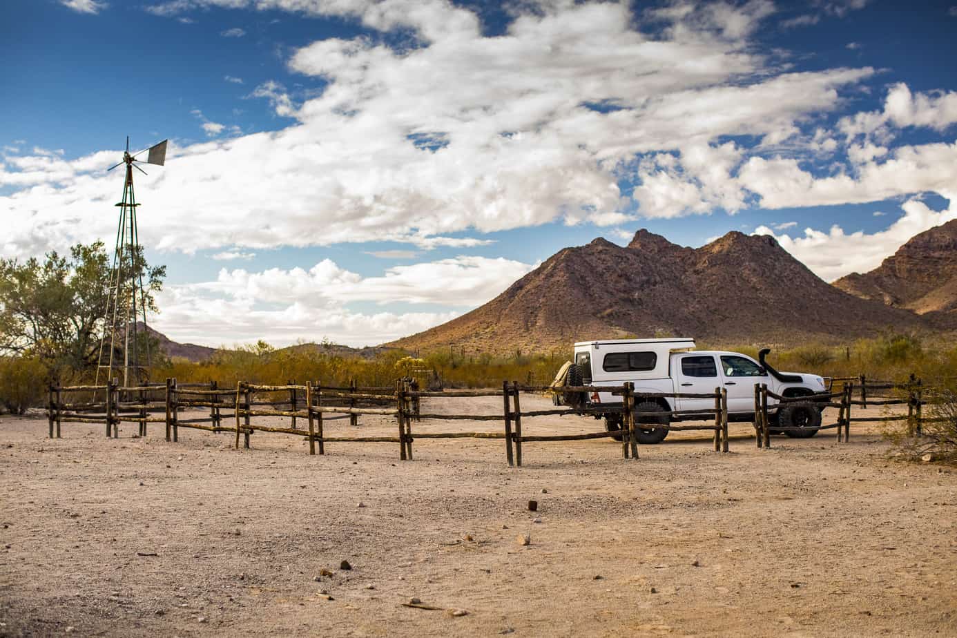
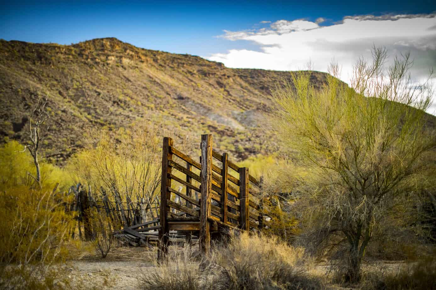
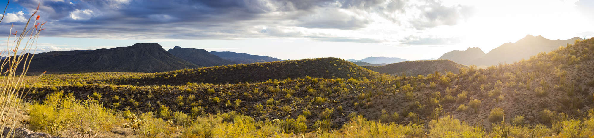
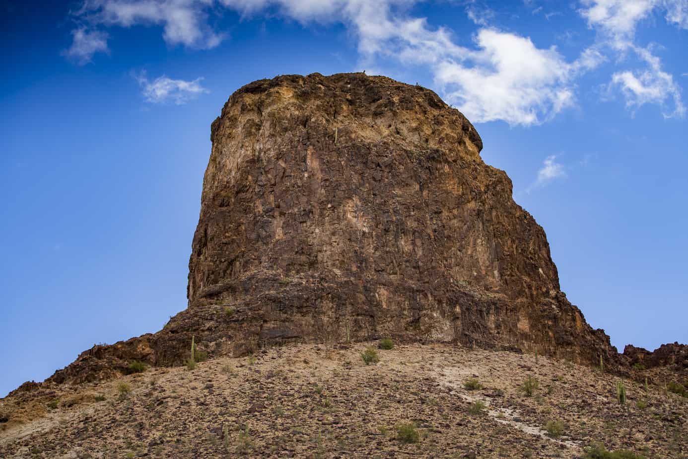
After the drive through Ajo to see the Double Arch we headed toward the more remote section of the park along a series of 4×4 trails that takes you south and west across the park and then back out through the north. Along this route, you’ll see a lot of really amazing scenery, mines, and old cattle camps.
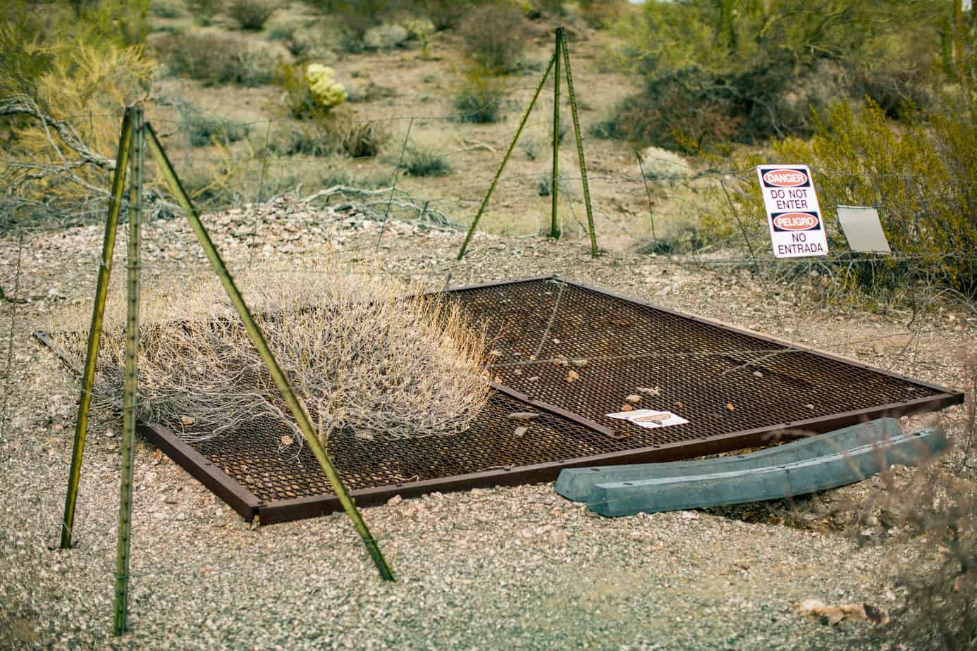


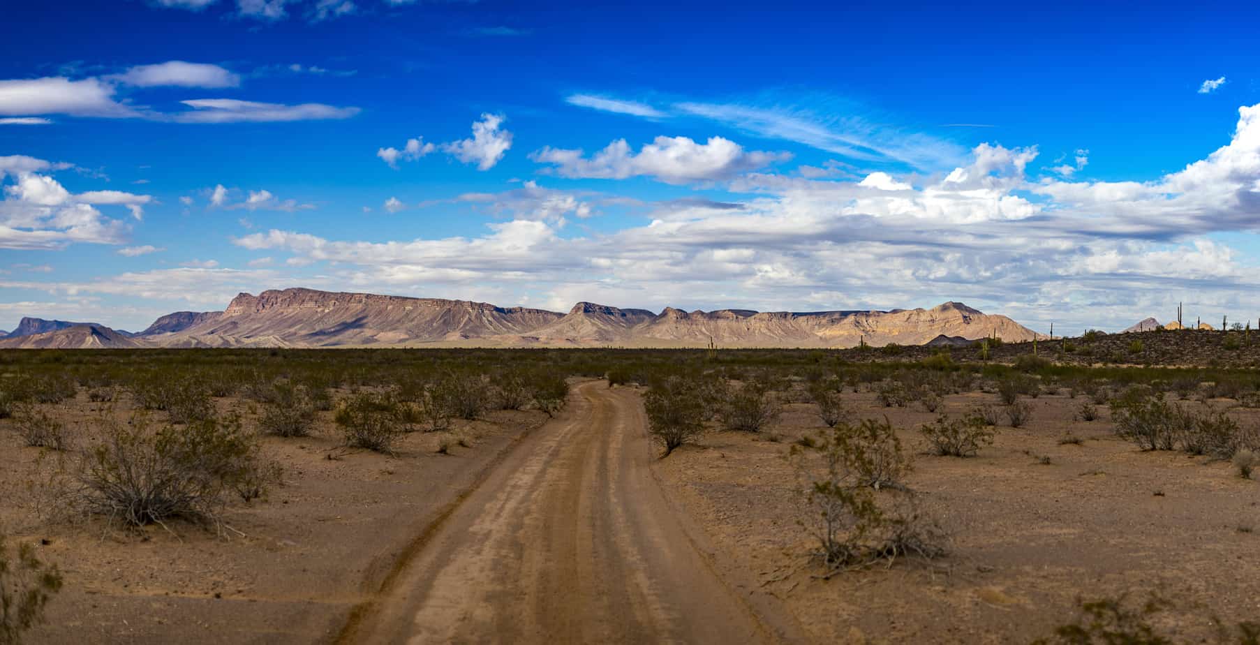

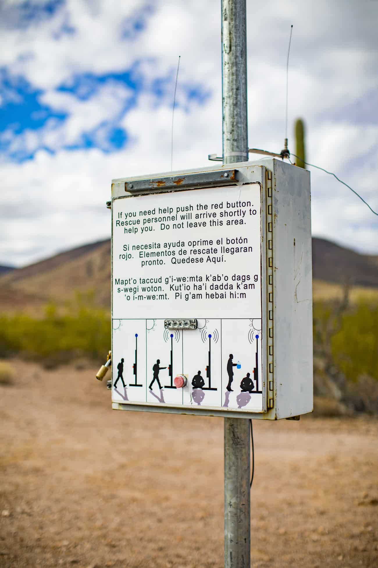
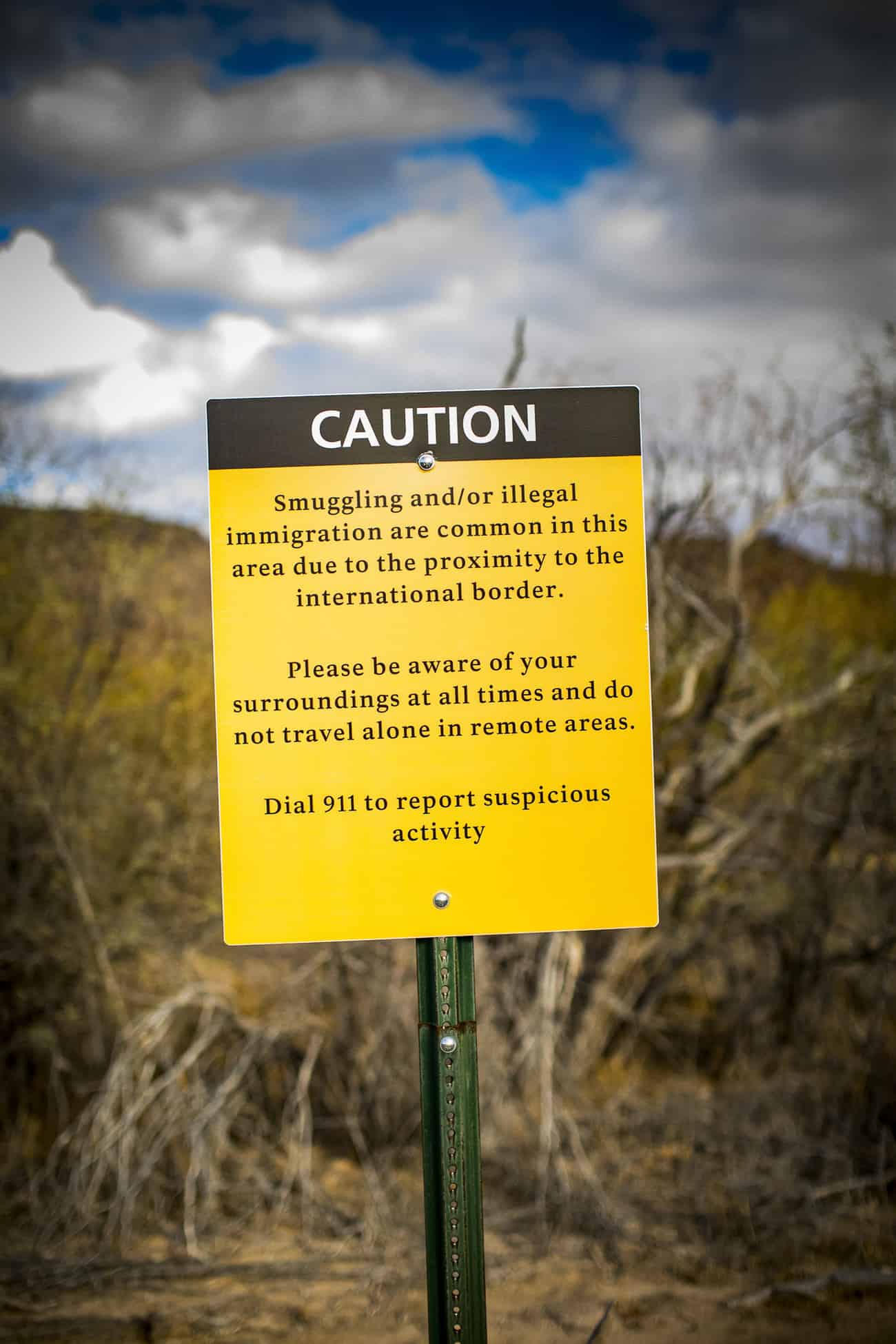
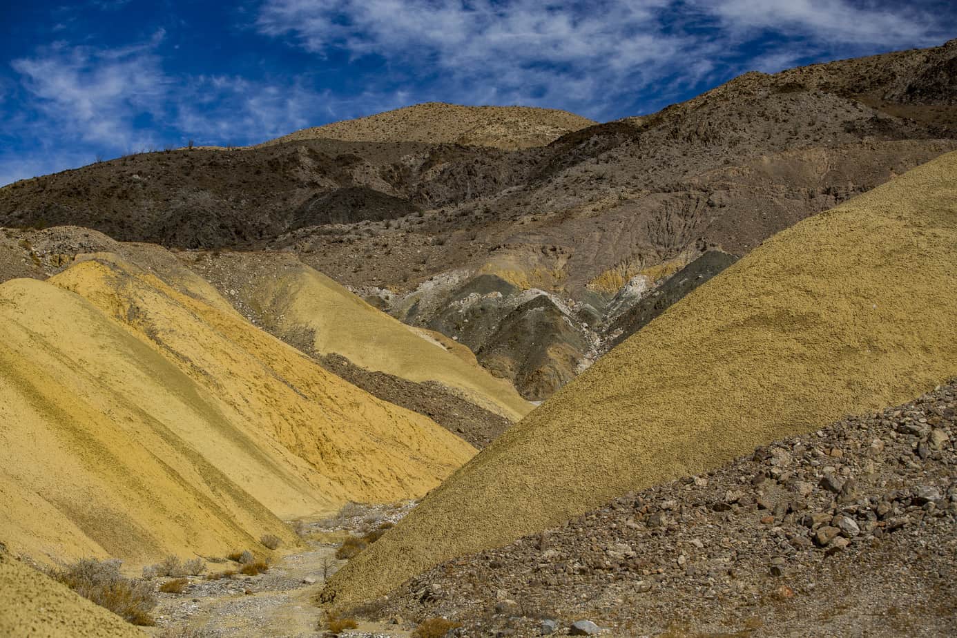
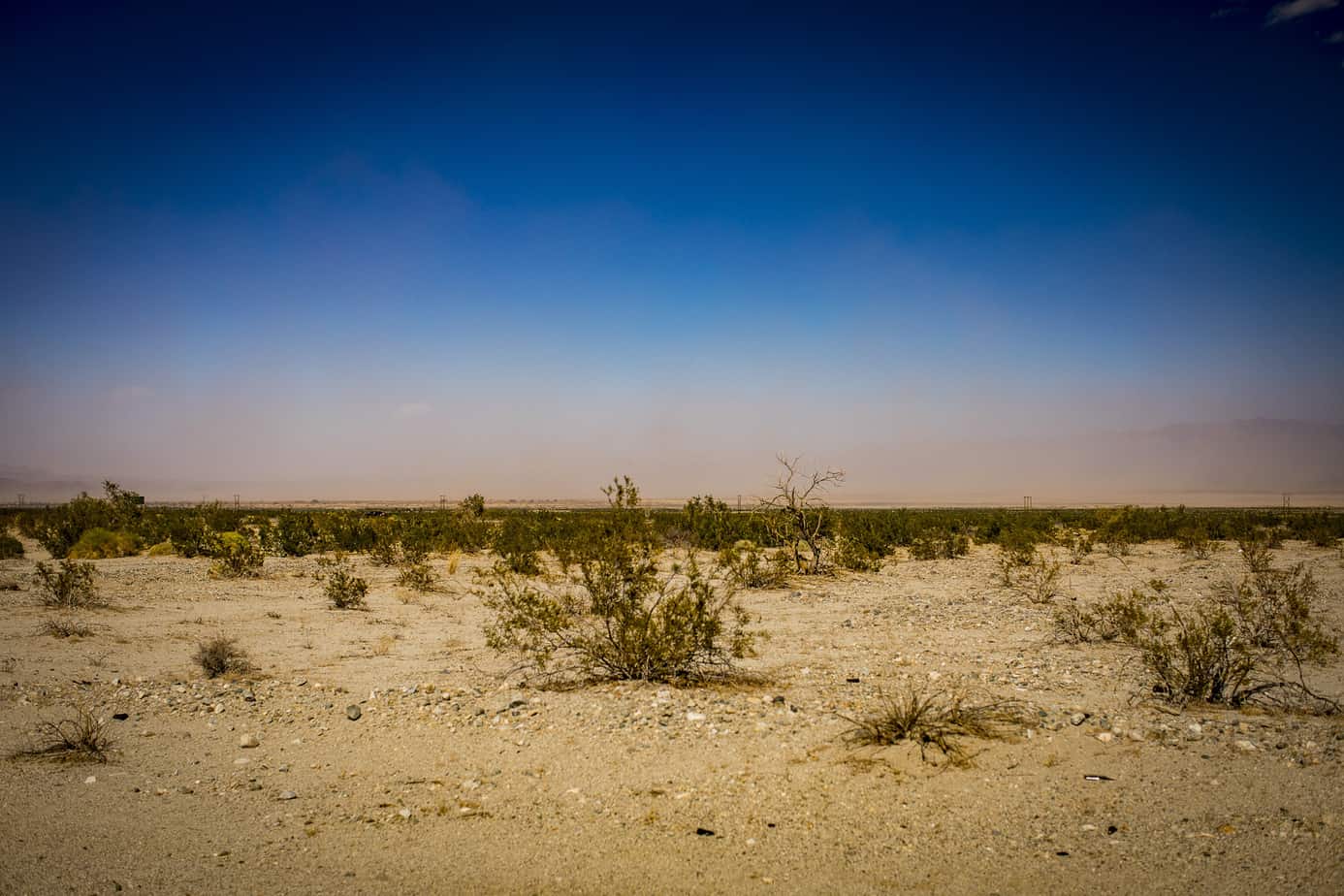
As you can see, the terrain is vast and varies quite a bit. Before continuing on with the trip, I’ll quickly address the buttons you’ll see out in the middle of nowhere (see photos above). The monument runs directly along the border of Mexico and smugglers can be found in the more remote parts of the park, so these buttons are used for emergencies. We never once felt unsafe but did come across border patrol trucks racing past us with the people carriers on the back so we can only assume they’d found some people and we were totally unaware. You will run into jugs of water left out to help people and the above signs everywhere, but in my opinion, it’s no reason not to visit such an awesome place.
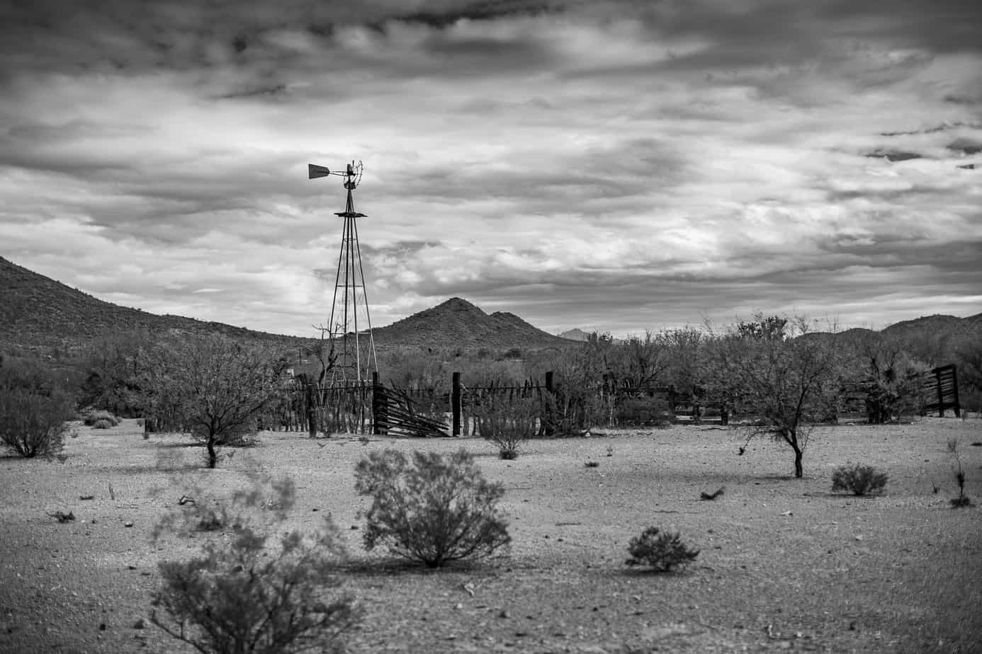
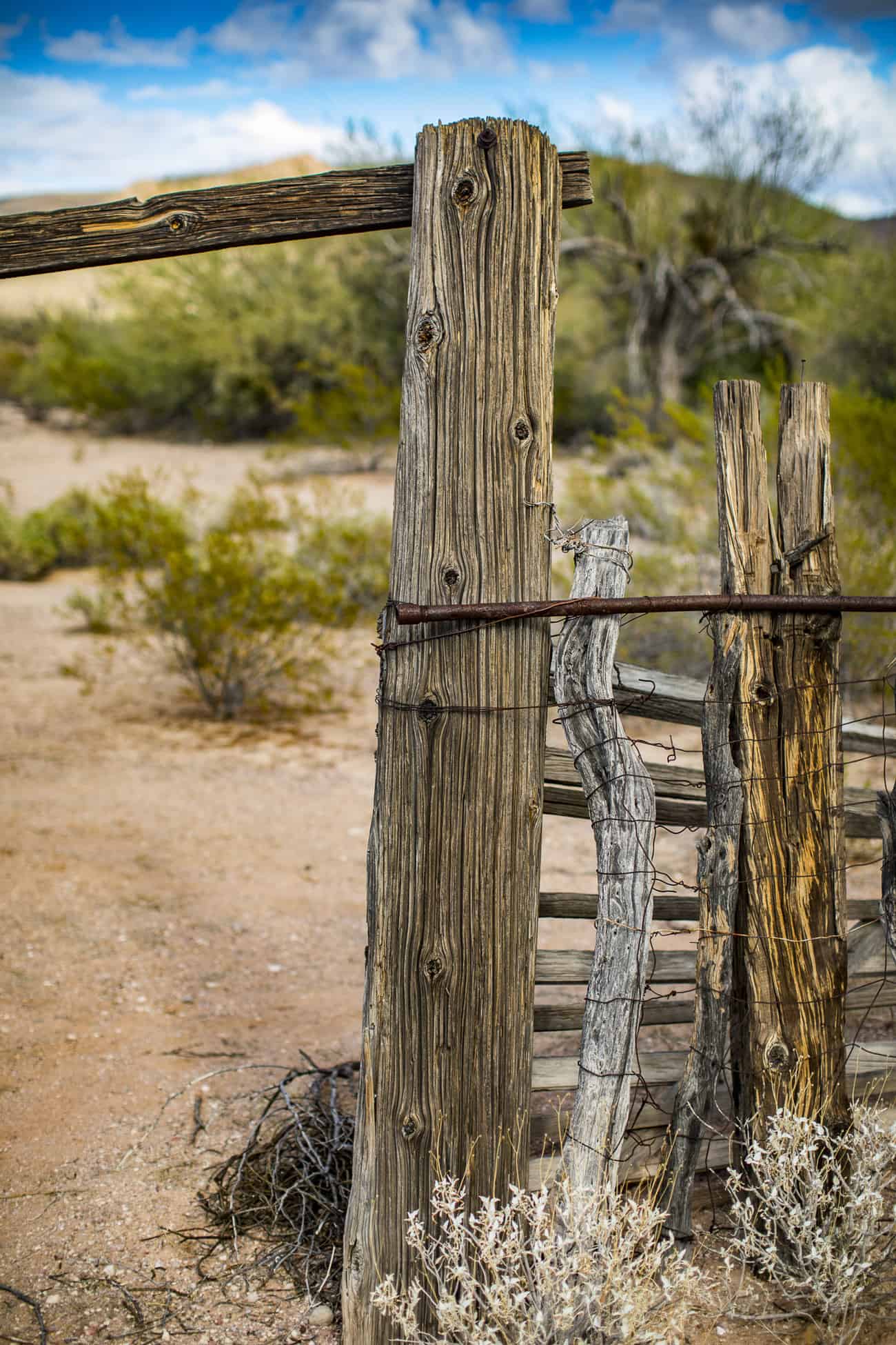
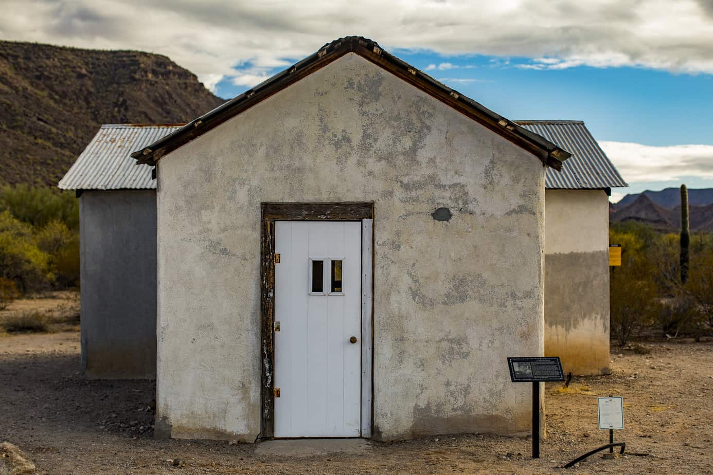
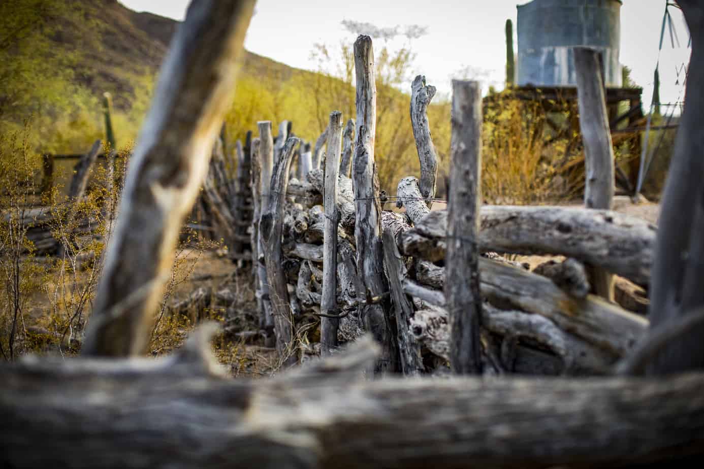
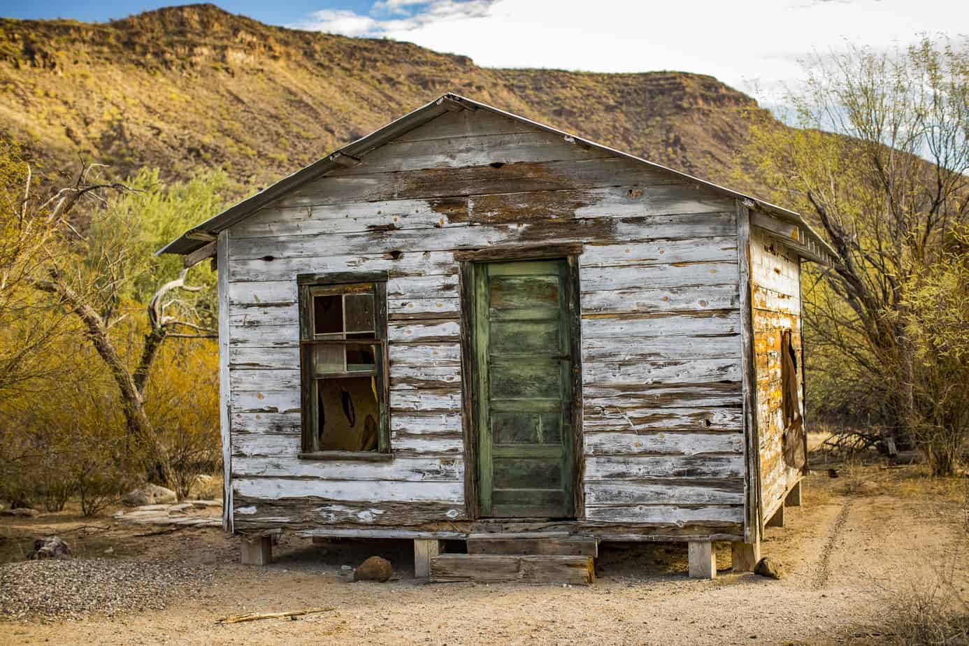
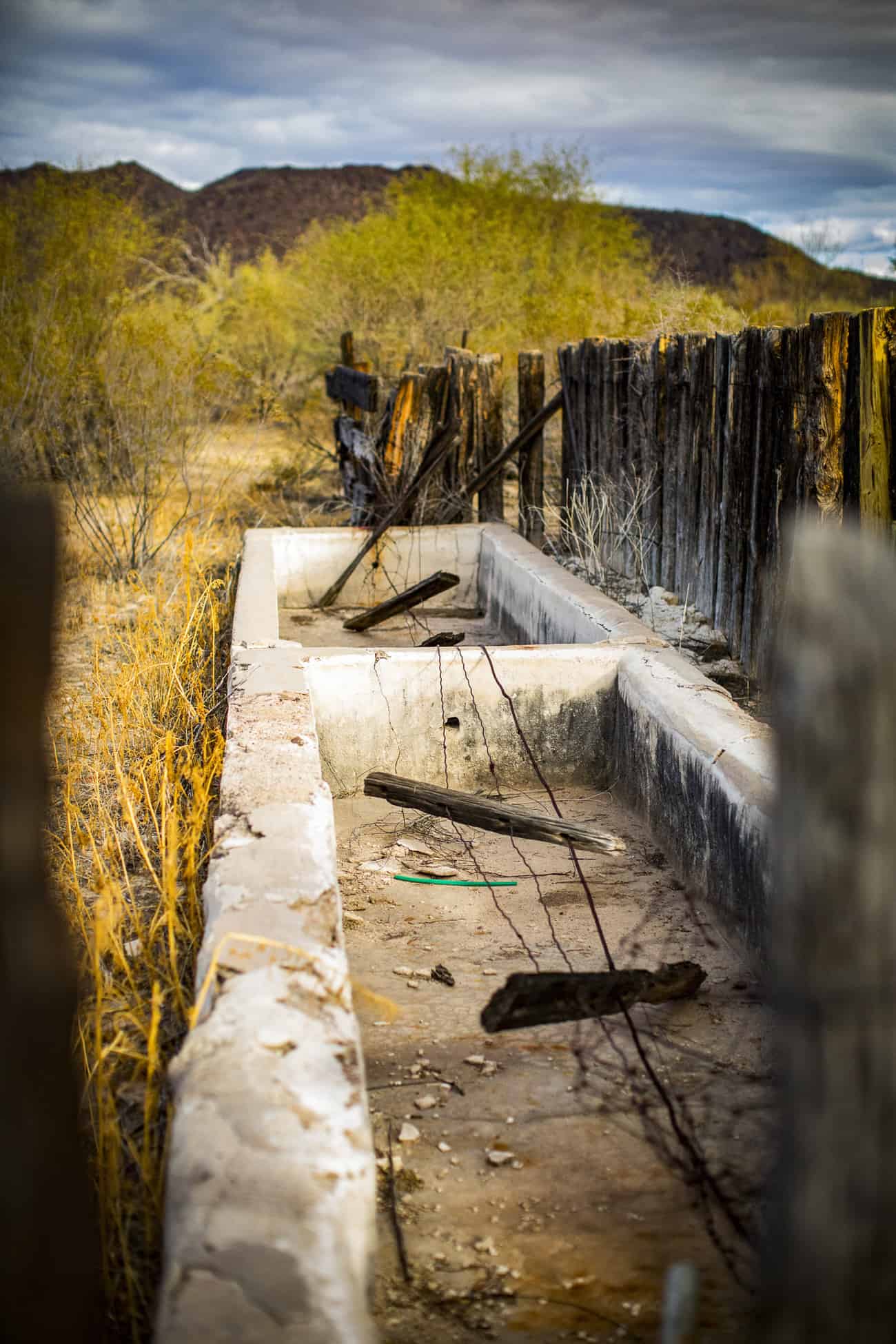
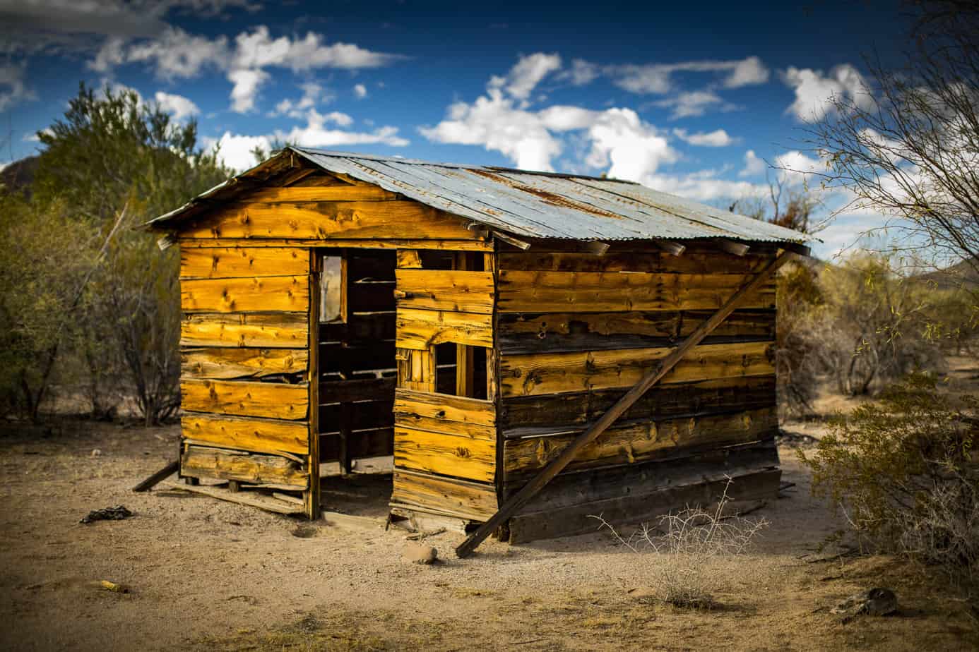
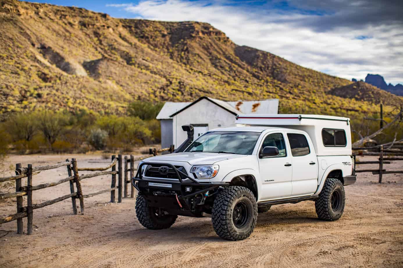
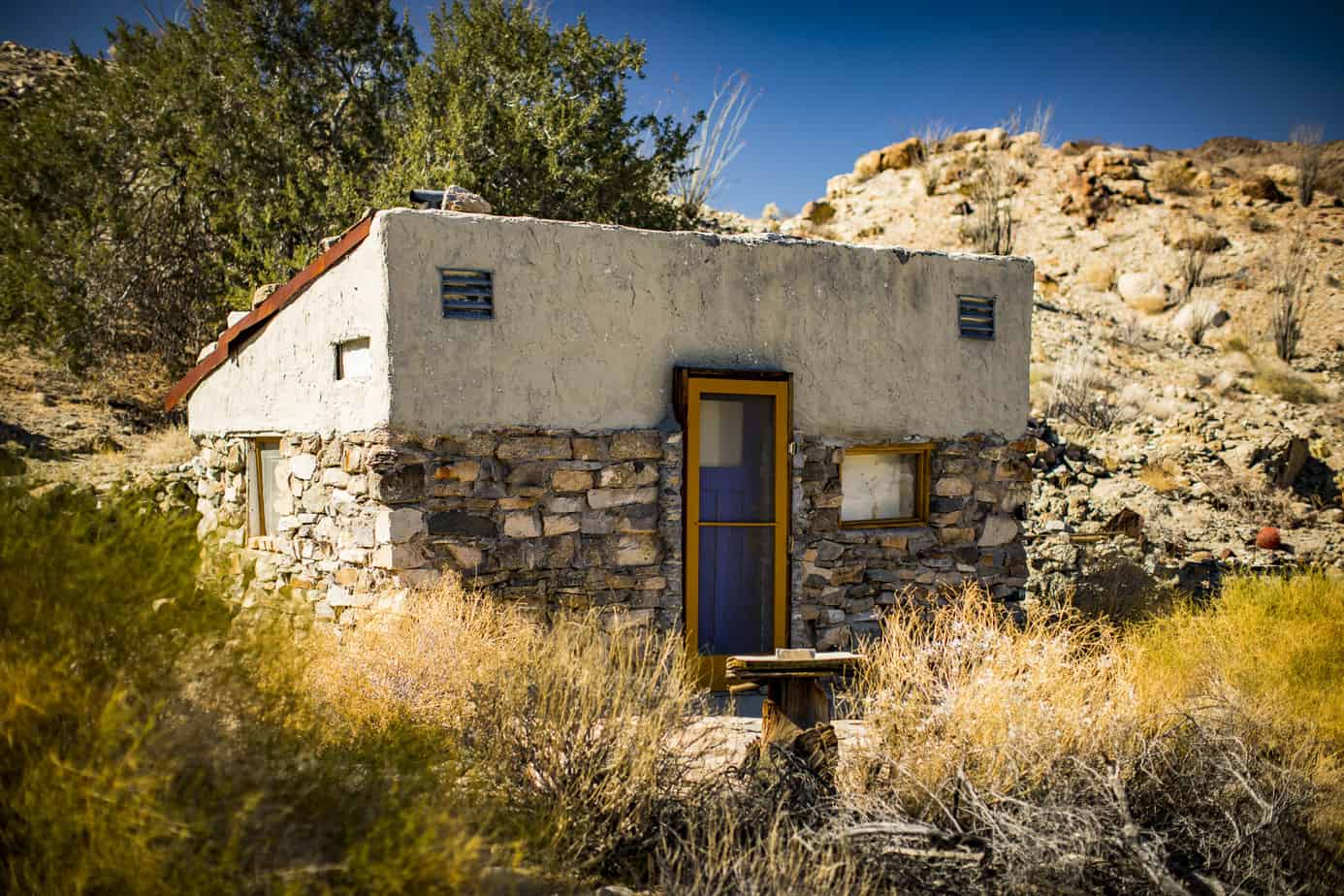
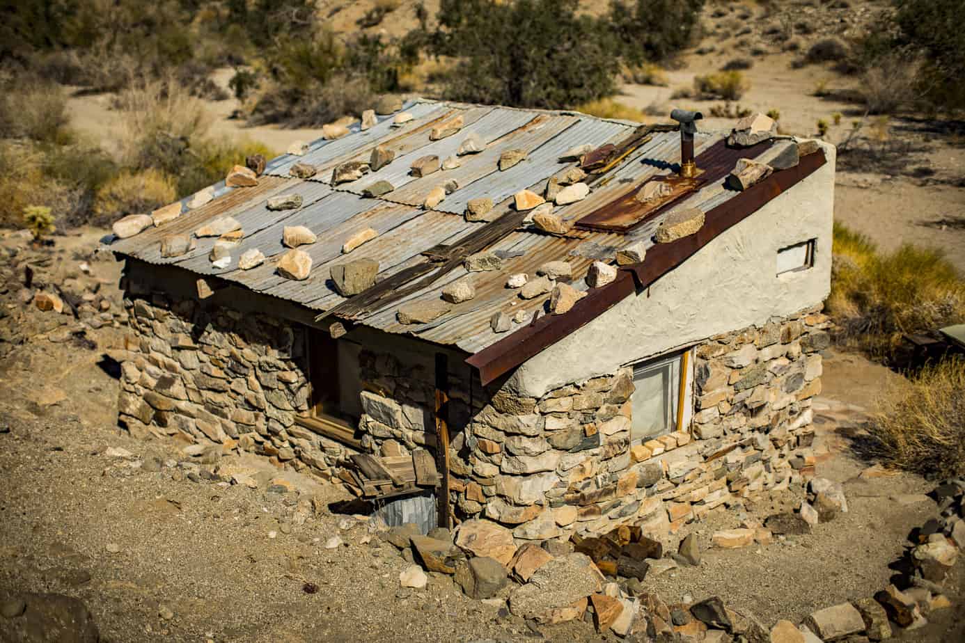
Okay, so back to to the trip. We continued north toward the edge of the monument where we were to camp on BLM land and stopped at a few more cattle camps and ranches. One of them that stood out to us was Bates Well Ranch which was founded in 1935 by the Gray family and was operated and developed by Henry Gray until he died in 1976. The Gray family started ranching here before the park was ever established, and they were allowed to continue to do so, despite struggles with the NPS and their conservation efforts as the ranching caused heavy erosion and vegetation trampling. The ranch houses are still mainly untouched, and you are able to walk around and get a taste of a lifestyle long lost.
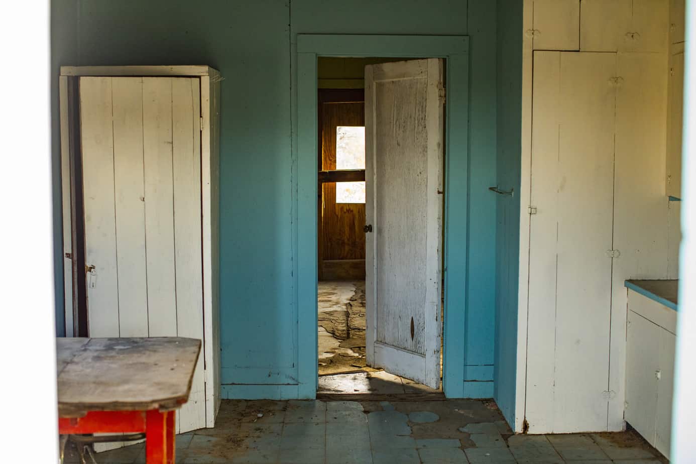
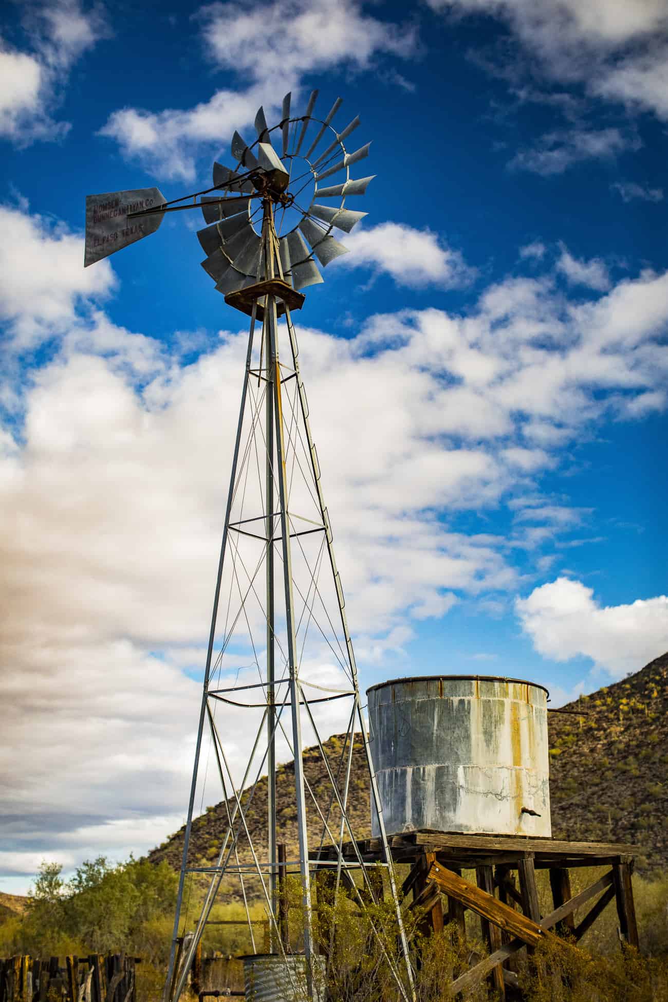

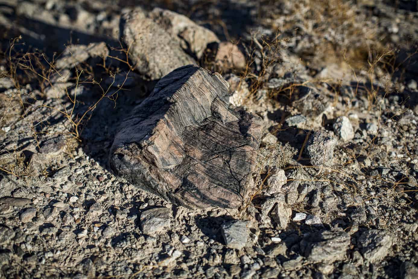
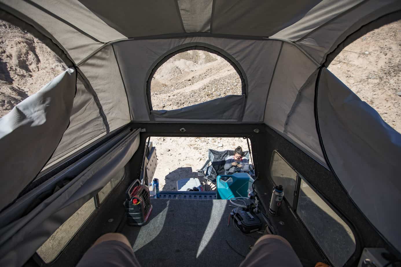
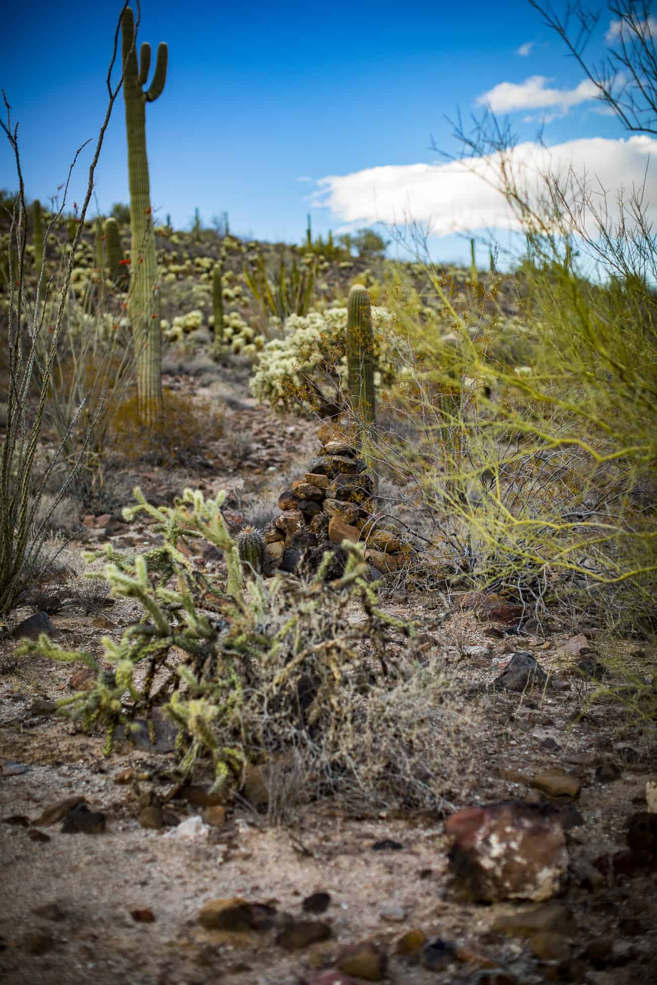
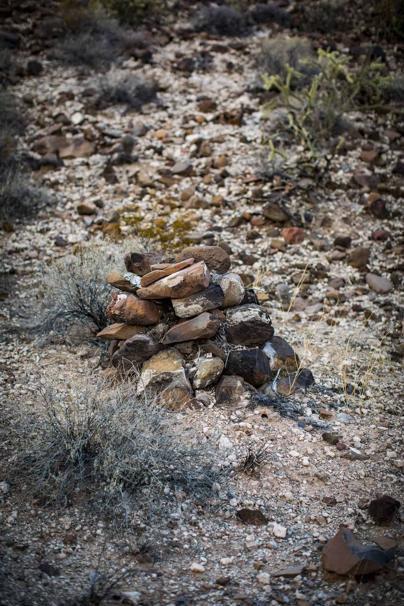
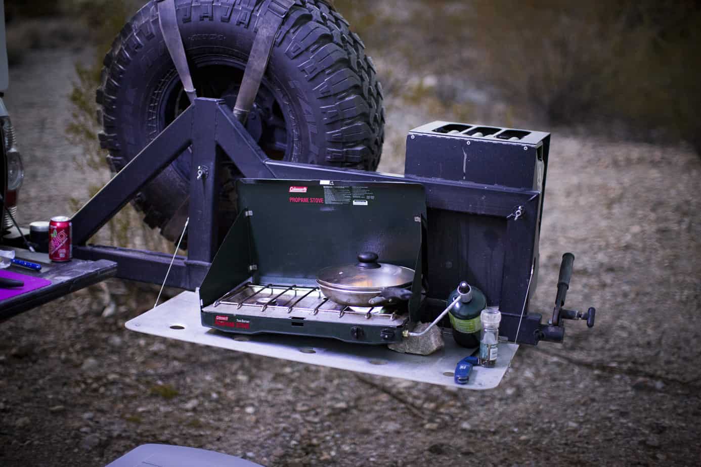
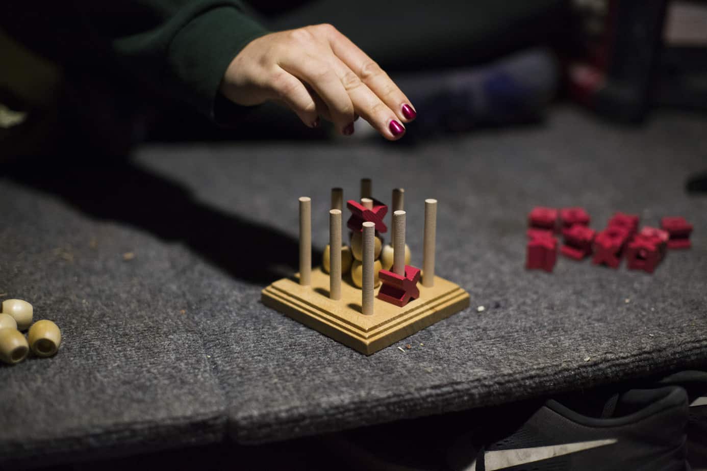
What a beautiful view they had, right? I couldn’t help but think about how peaceful it must have been back then. After checking out the ranch for a while we headed to find camp; I had marked a few places I had found on Google Earth. It took us about an hour of navigating some easy trails to find the perfect spot, and along the way, we kept seeing these piles of rocks stacked up. Anyone know what they are? We ended up finding the perfect spot that had a great view, so we set up and got to cooking dinner. The wind started to pick up, so we retreated to the Flippac to play 3D tic-tac-toe which I highly recommend as a camp game if you haven’t played it.
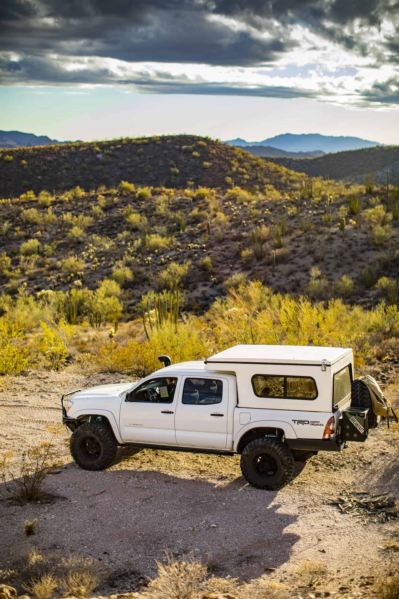

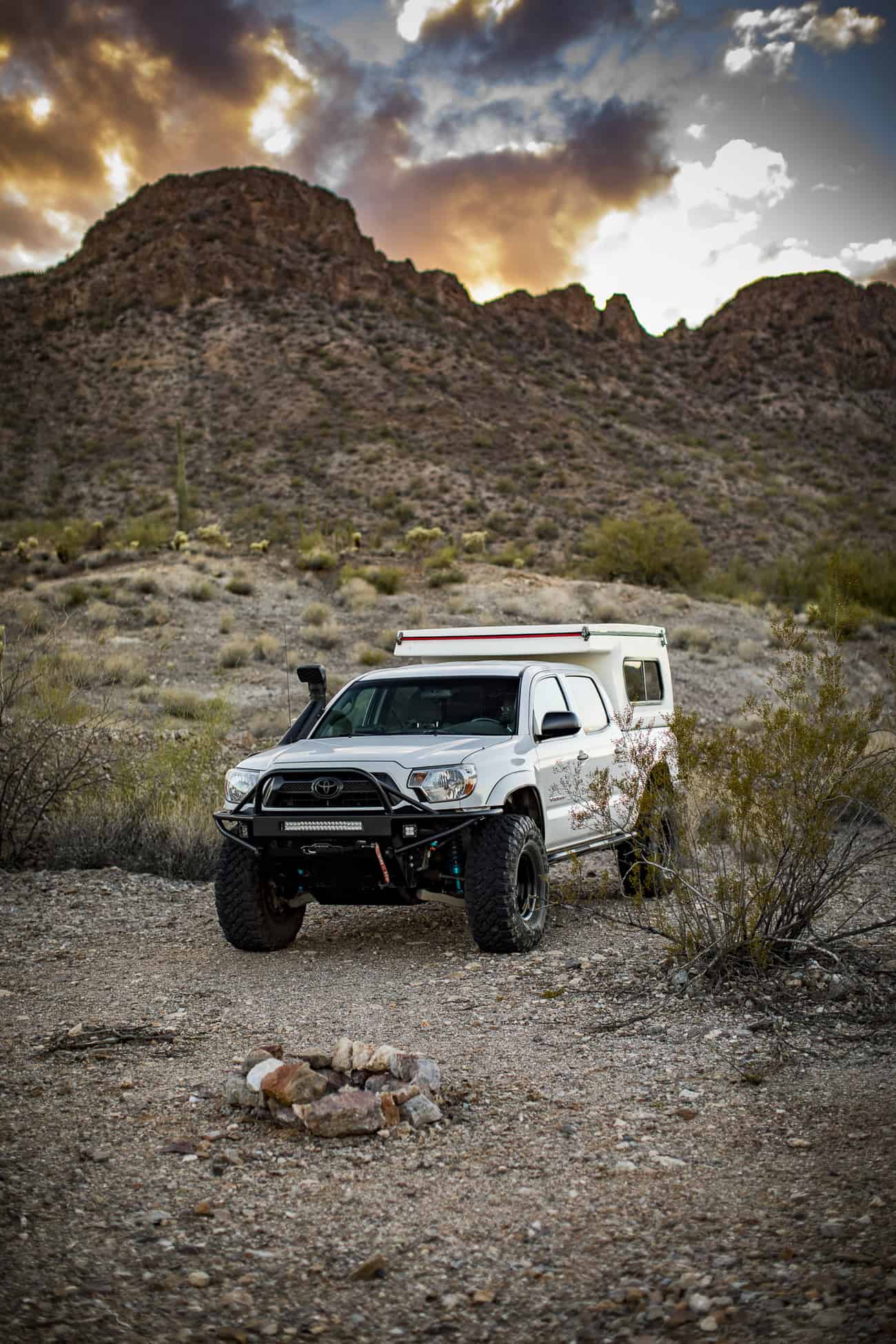
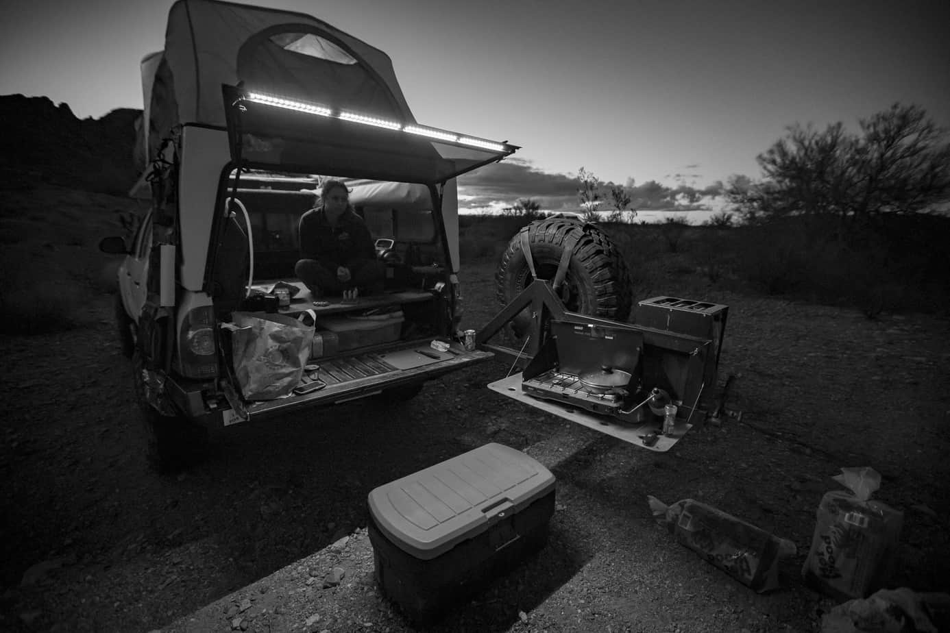
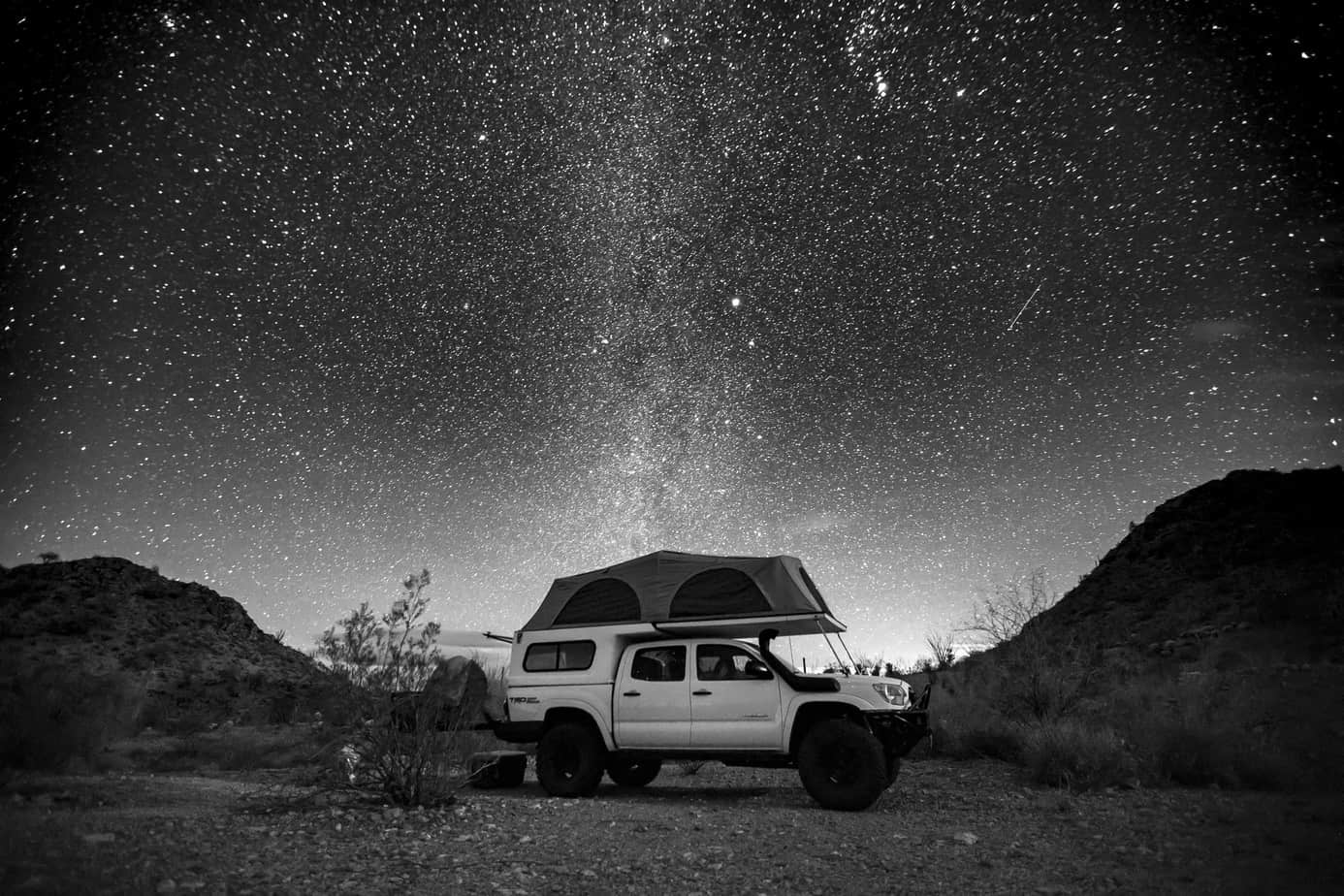
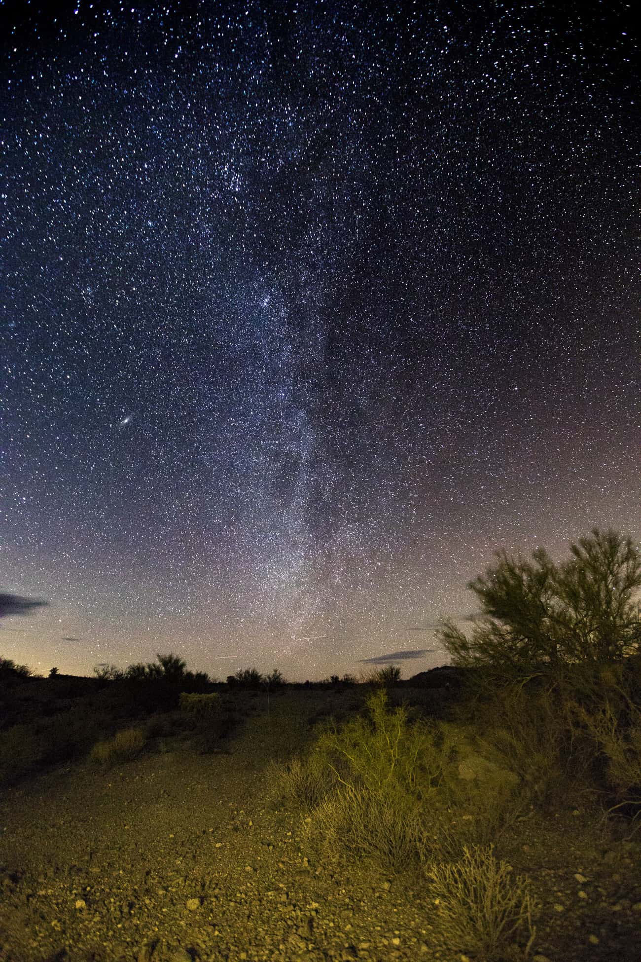
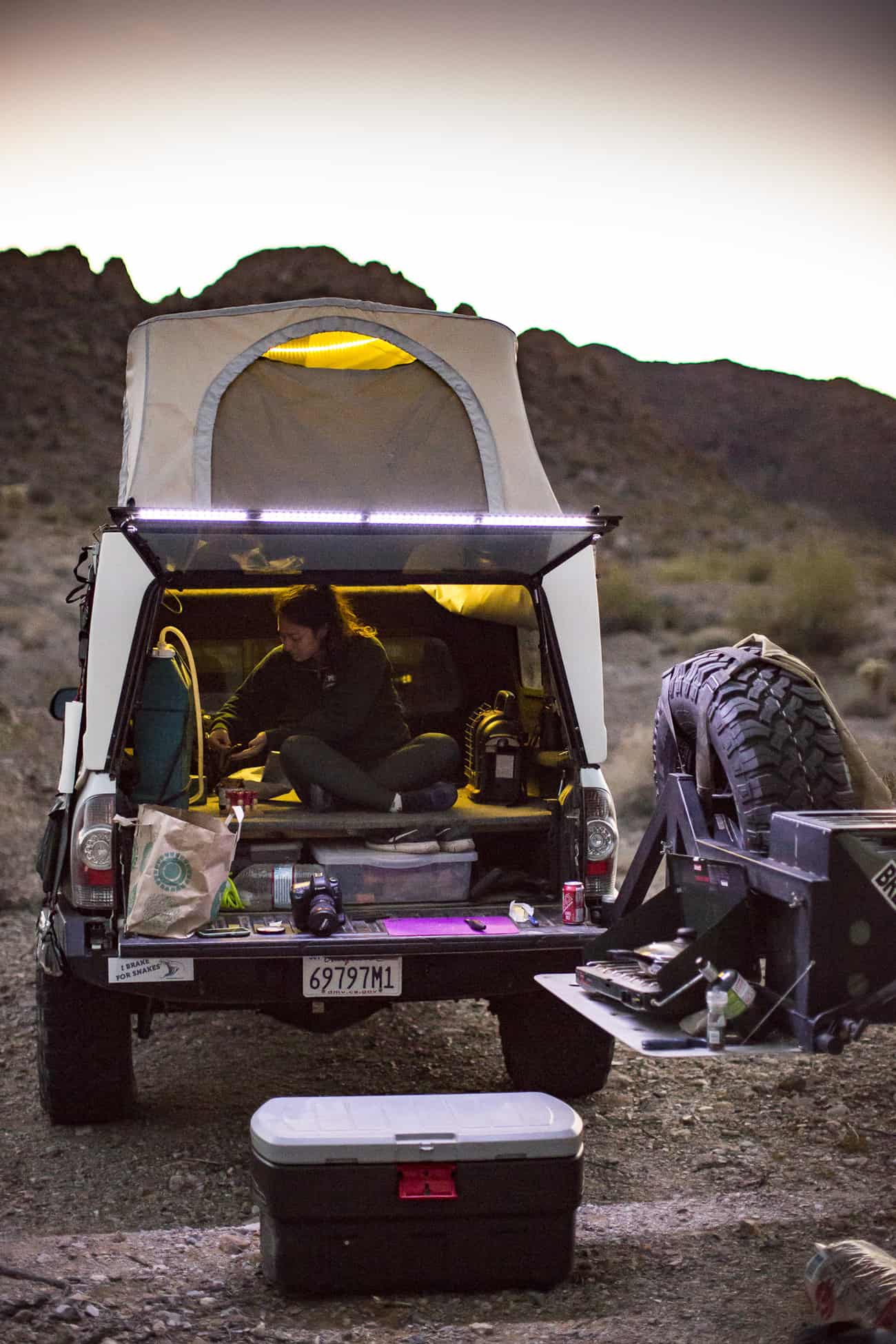
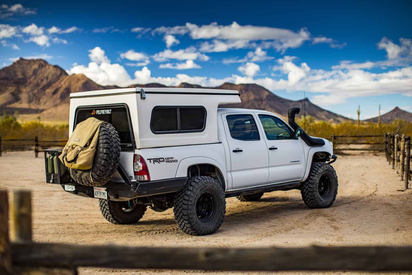
It wasn’t all fun and games this night though. The wind picked up to nearly 40 mph which was causing the Flippac tent poles to bend and made it nearly impossible to sleep. We had to make a game-time decision and ended up agreeing we should just pack up and find somewhere with less wind. Luckily, the Flippac only takes a couple of minutes to go from sleeping to driving, so we got on the road and went to search out calmer lands. We succeeded, and pulled off the 10 and found a good spot to get a few hours of sleep. We woke up to a pretty cool area and ended up driving some trails around the area, marking off good camp spots because we definitely will be going back.
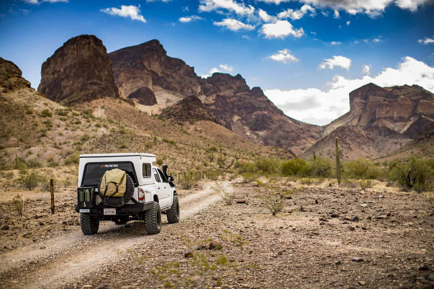

After a couple hours of exploring, we decided it was time to head toward home as we had a long drive and wanted to avoid traffic if possible, but we had one more stop to make. This is one of our favorite areas and we visit it often; it’s full of mines and petroglyphs. We stopped by to make lunch and hike around a bit before making the long drive home.

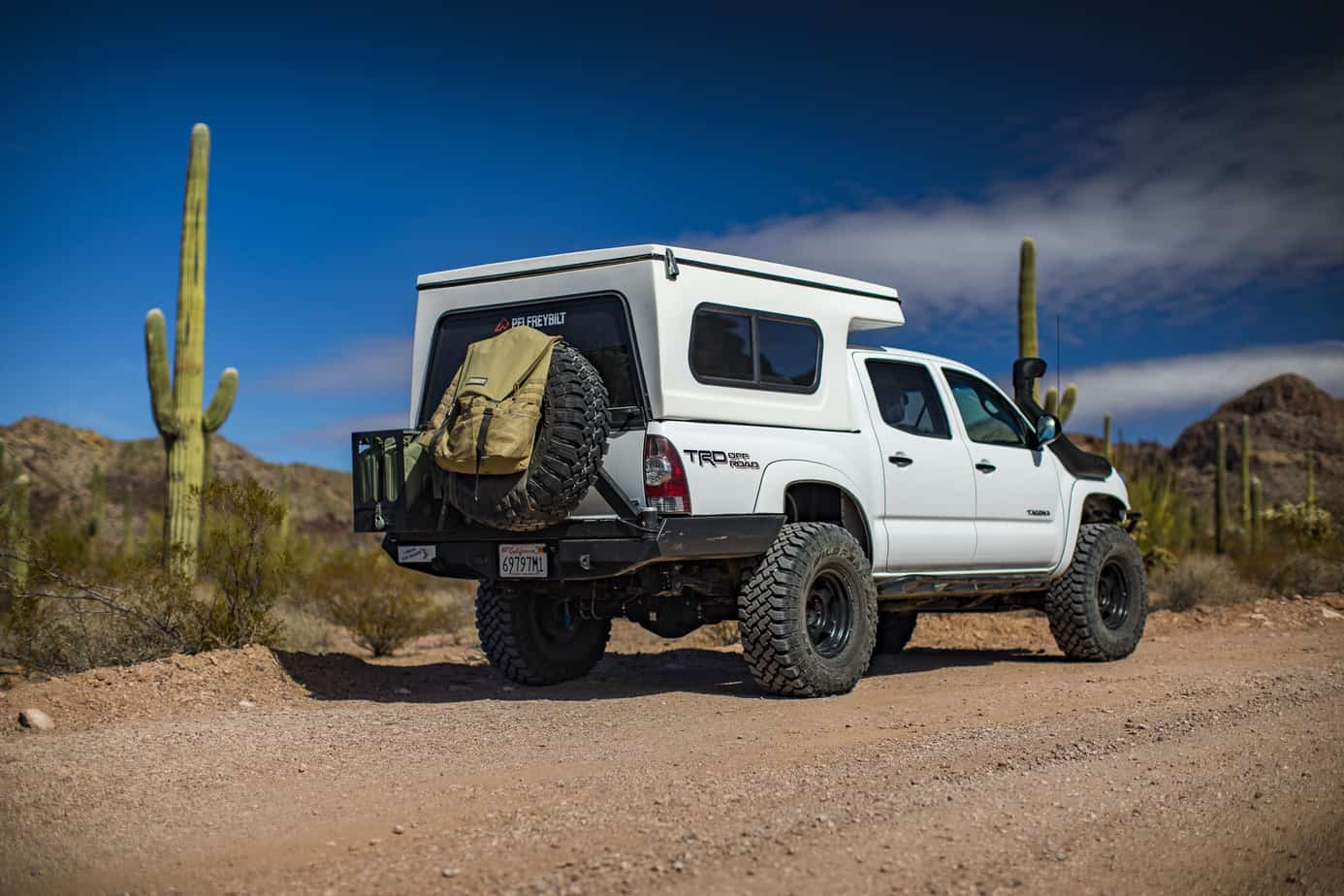
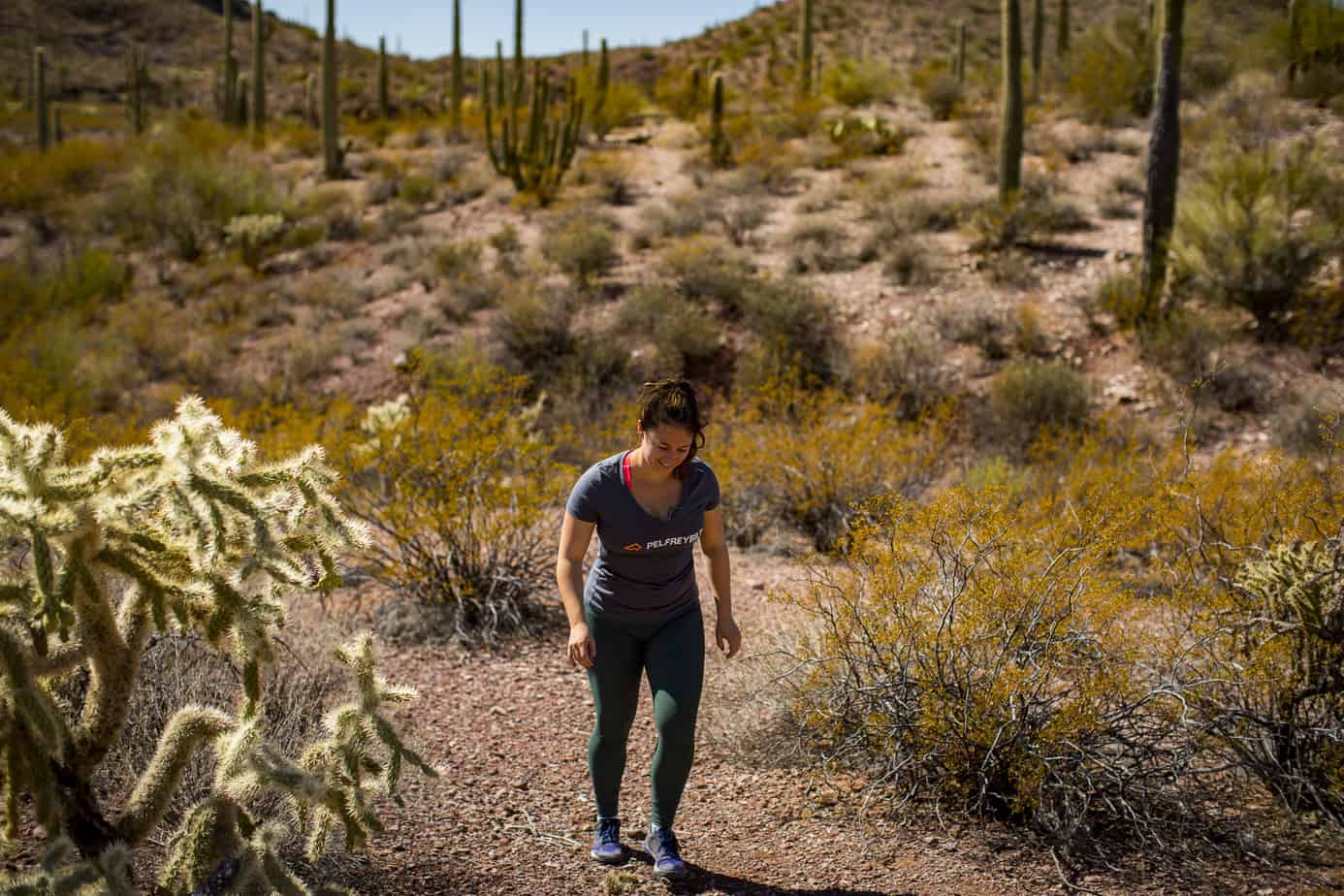
As always, thank you for reading. I really hope you enjoyed the report because we had such a fun trip. Sorry for the lack of wheeling photos, but not all trips are about hitting trails as much as they are about just getting outside and enjoying this beautiful country we have.
One Comment
Kevin klasman
October 3rd, 2018 at 4:13 amNice write-up and great photos. While looking at all the photos I’m thinking “this guy’s pretty good photographer” and it turns out you’re a pro. It shows. Well done.