
Editor’s Note: This article was originally published in Overland Journal, Fall 2016.
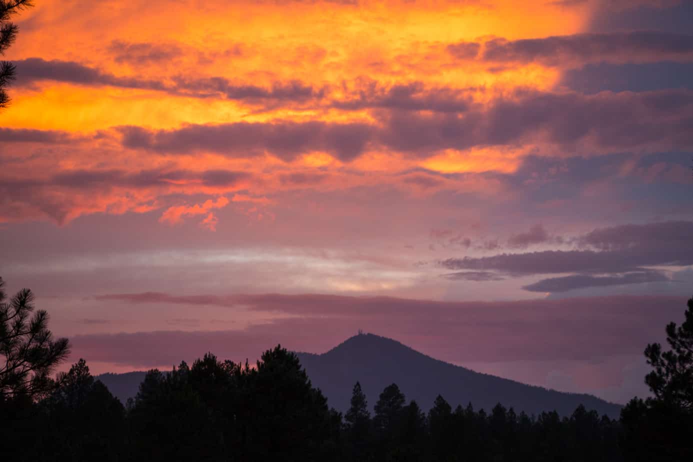
Picture Arizona in your mind; imagine traveling the back roads and observing its landscapes. What do you see? For many people, it’s a sprawling desert dotted with cacti—a place of desolation where sunbaked sands cover endless miles of countryside. But this state has a secret, one that you’ll discover if you venture into the forested hills and grass-covered highlands of its northern region.
GENERAL INFORMATION
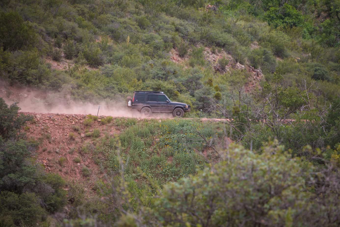
The northern portion of the Arizona Traverse extends 188 miles from the town of Dewey-Humboldt to the edge of the Grand Canyon. It is a relaxing drive through this portion of the state, as most of the track is composed of smooth forest roads with stunning vistas and interesting wildlife. Highly technical terrain can be found nearby, but all of this route can be completed in a standard soft-roader during summer months.
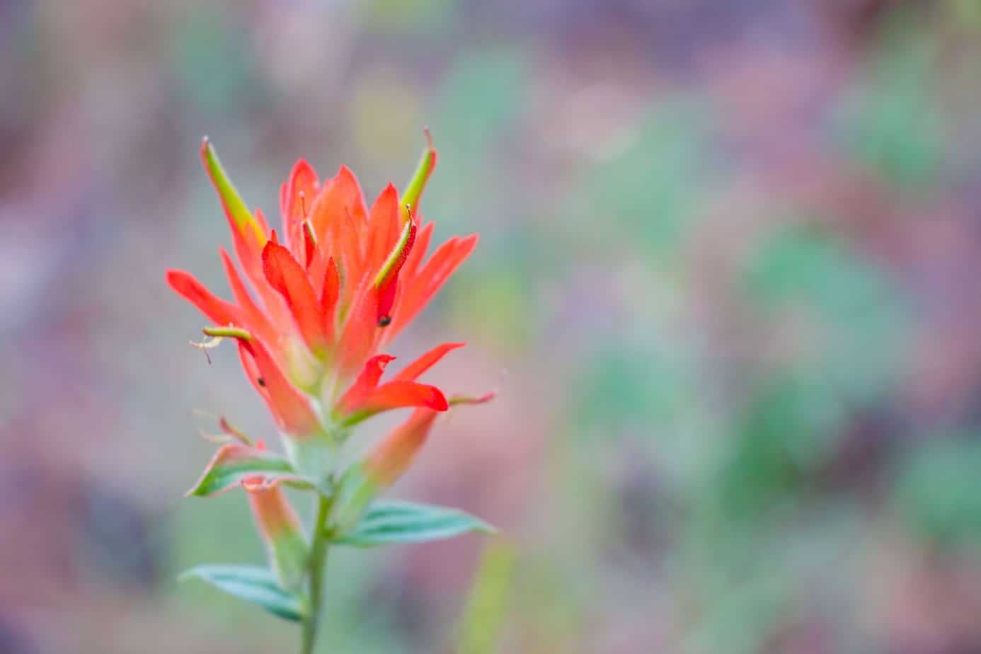
With elevations ranging between 3,800 to 7,500 feet, there is a wide variety of interesting and often beautiful flora. In the lower elevations, cliffrose, creosote, desert broom, velvet mesquite, catclaw, and Mormon tea are plentiful. Ash, juniper, willow, walnut, and oak trees can be found along creeks and in the occasional shady oasis. Ponderosa pines dominate the higher elevations, with cypress, manzanita, and piñon pine filling in the gaps. Stunning flowers in various colors may be found regardless of location. Specimens like goldenrod, marigold, desert willow, devil’s horn, Mexican gold poppy, and ocotillo never fail to brighten a scene.

Fauna is comprised of a broad variety of animals that have adapted to the different elevations and temperatures. With over 300 species of birds, 100 species of mammals, and many amphibians and reptiles, there are far too many examples to list. Some of the more notable include elk, mountain lion, bobcat, bear, fox, mule deer, rattlesnake, porcupine, javelina, bald eagle, Mexican spotted owl, and the peregrine falcon.

THE DRIVE
Although the trail officially starts in a valley outside of Dewey-Humboldt, it truly begins upon reaching the town of Cherry: a peaceful refuge where green grass and a quaint bed and breakfast greet those who enter. Rolling down the dirt road feels a little like going back in time. A hand-painted sign adorns the open gate of the inn, and its friendly owners can often be seen watering the lawn as their yellow lab dozes lazily in the afternoon sun. It’s the kind of place where you can’t help but feel the urge to slow down, take off your shoes, and find the closest porch with a rocking chair. Coincidentally, this is exactly what we recommend, as the inn is the perfect point to unwind.
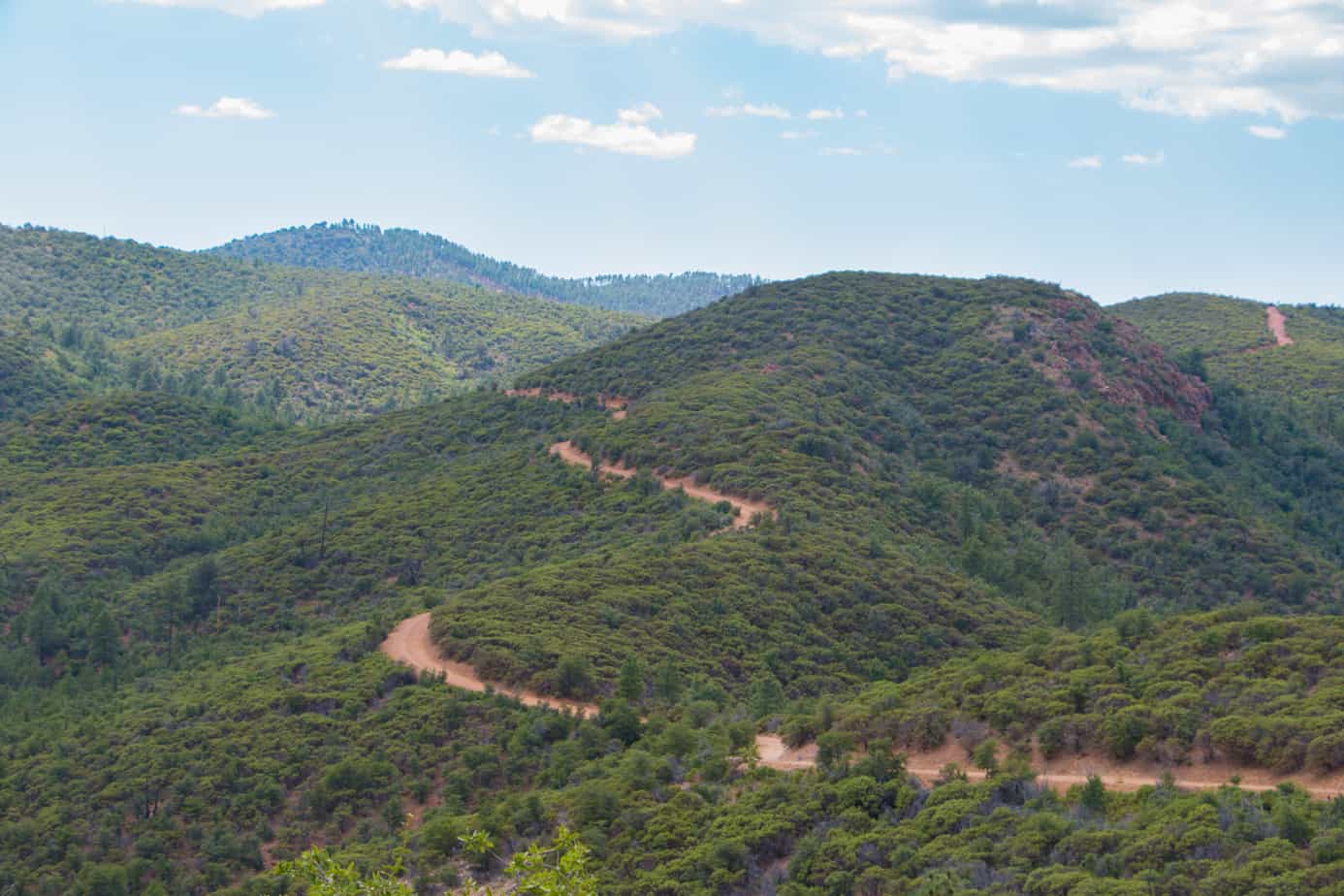

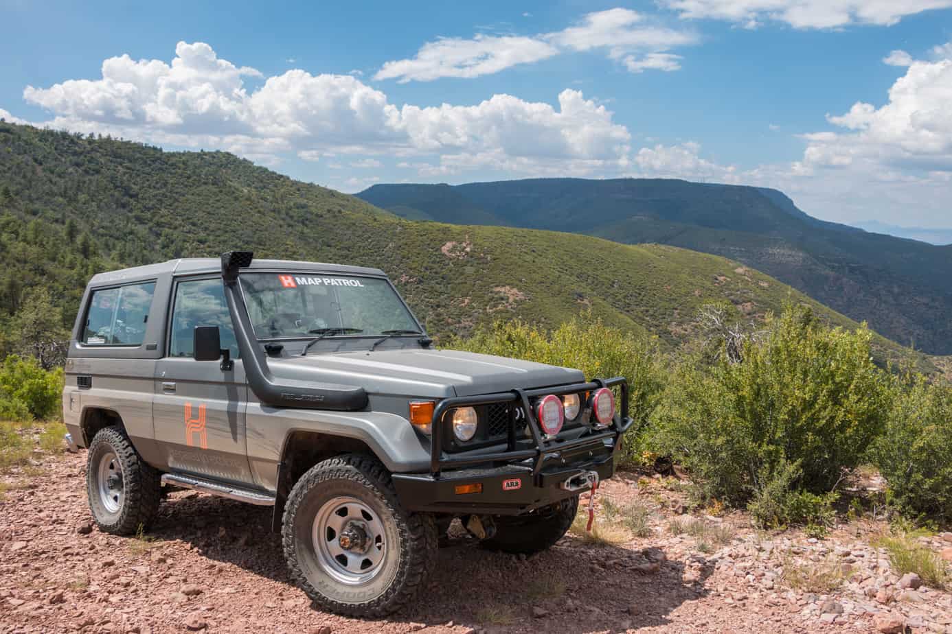
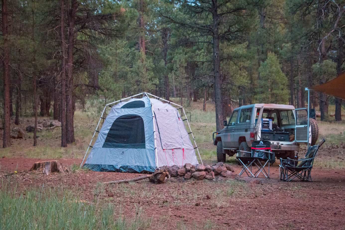
If you manage to leave this sleepy town, the track will lead you into the Black Hills. These mountains aren’t nearly as ominous as their name suggests, and the smooth road presents vista after vista as it meanders around peaks and crosses the back of the rising ridge. Tall pines and cool shade will soon surround you, making the deserts of southern Arizona seem like a distant memory. On Mingus Mountain, you can stay at one of many great campsites or check out the amazing overlook at the hang gliding launch.
A few miles of pavement will bring you into Jerome, a place as strange as it is charming. Although its current claims to fame are ghosts and biker bars, it was once a bustling mining community that was built right into the side of the mountain. The town’s streets are switchbacks as tight as any four-wheel drive trail, and interesting shops and restaurants serving delicious fare certainly make it worth the stop. Insider tip: If Jerome is packed, visit the nearby Gold King Mine or take a quick drive down the hill to Old Town Cottonwood for wine tastings and more great food.
Upon leaving Jerome, drivers will find themselves on a red dirt shelf road winding along a steep cliff edge. To the right, a wide expanse opens up below with Sedona’s red rock and the San Francisco Peaks in the distance. The view is breathtaking, but so is the fall if you don’t watch the road closely.
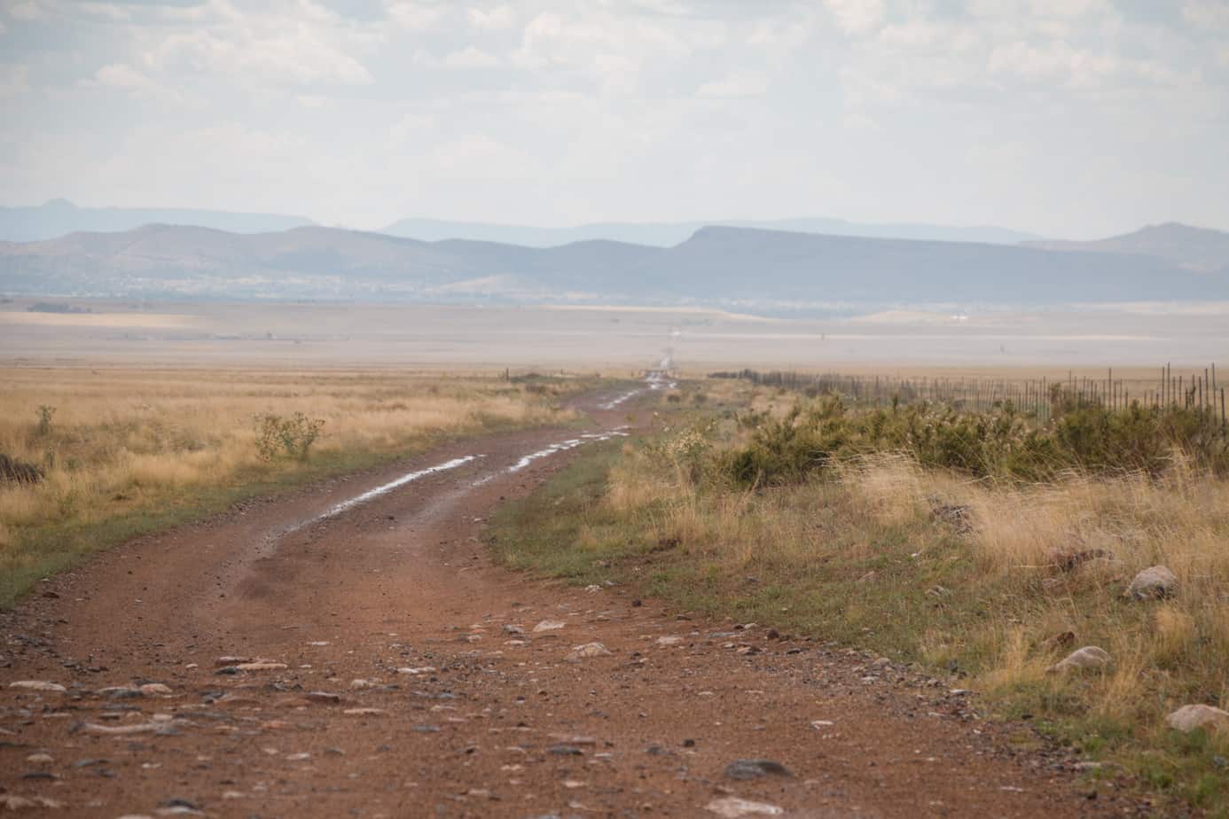
Soon, the dusty track drops onto the plains where large straightaways encourage you to drive quite fast. It is a good chance to lay down some miles, but be sure to stop and admire the old steel bridge crossing the Verde River. There are a few great camping spots here too, along with a quiet creek and a refreshing swimming hole. You can also take the time to head over to Perkinsville, an old railway station just a mile out of the way.

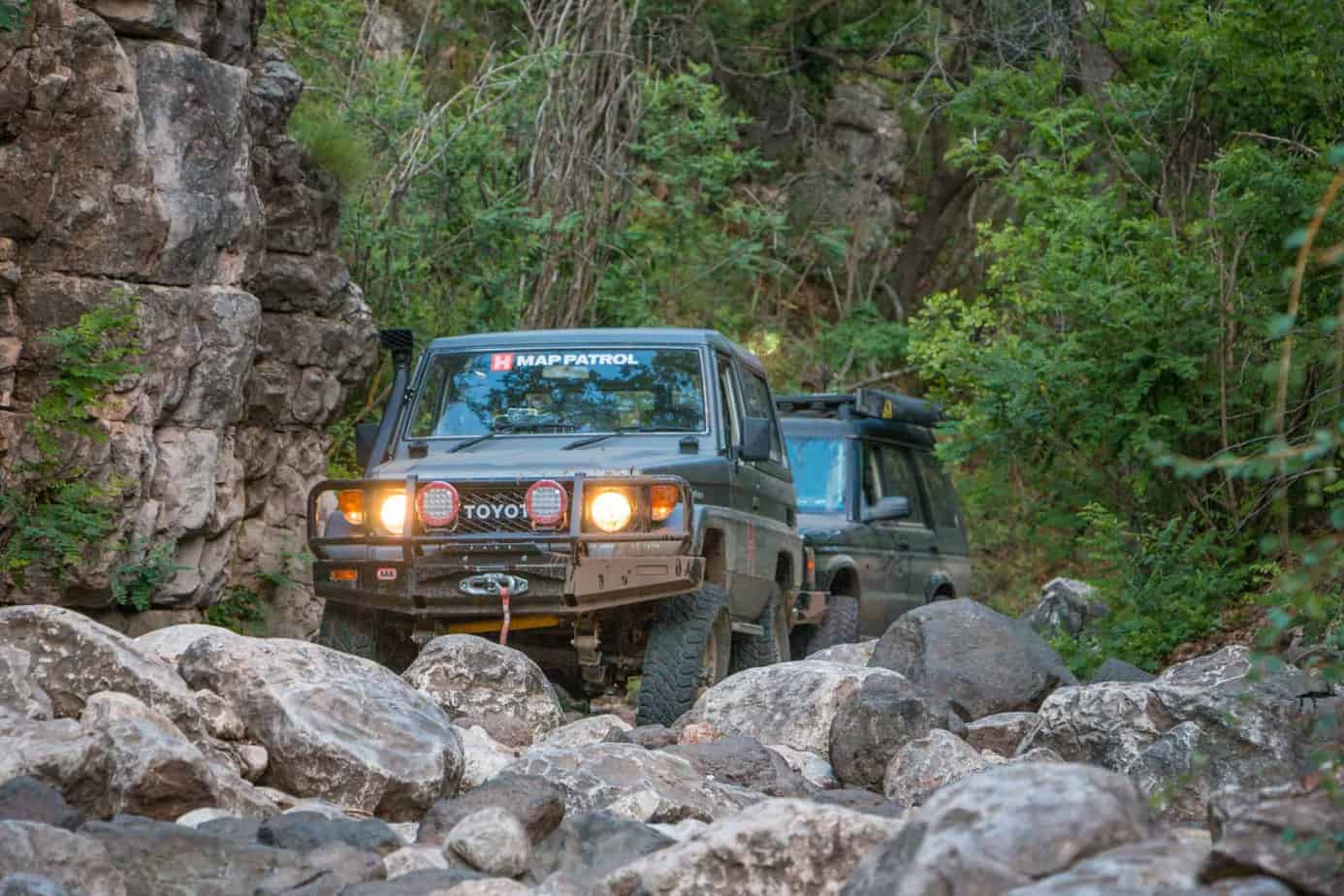
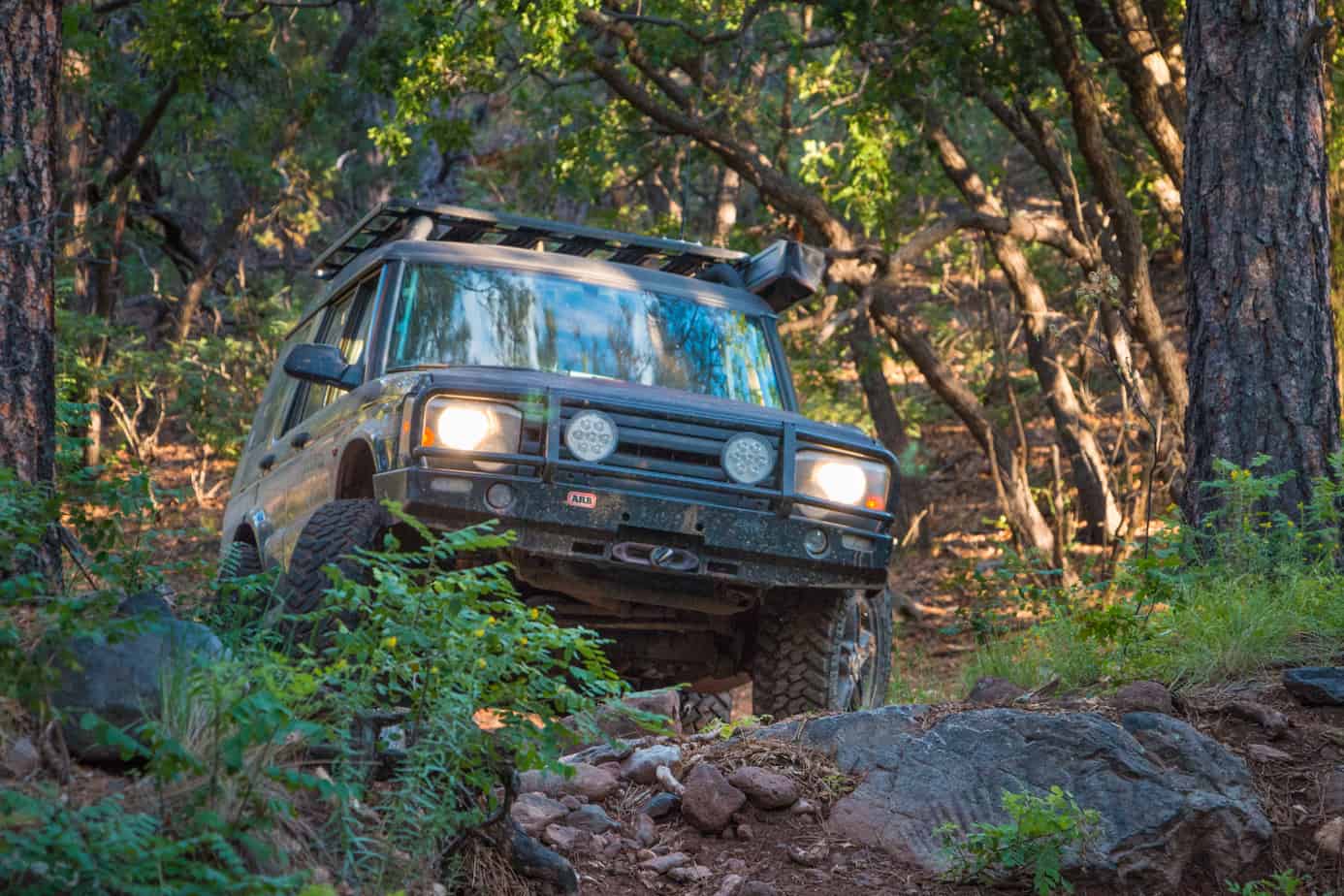
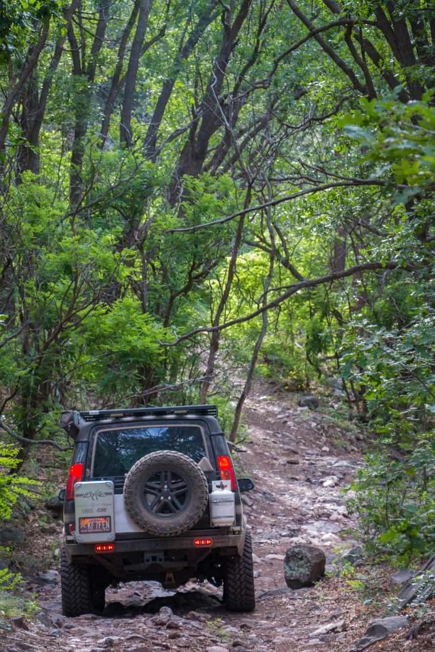
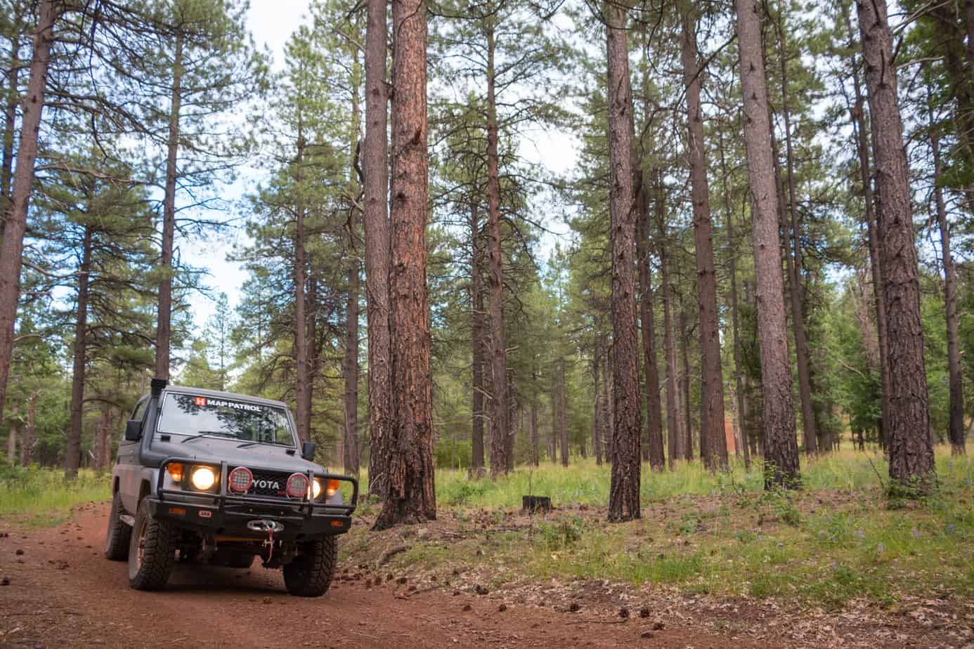
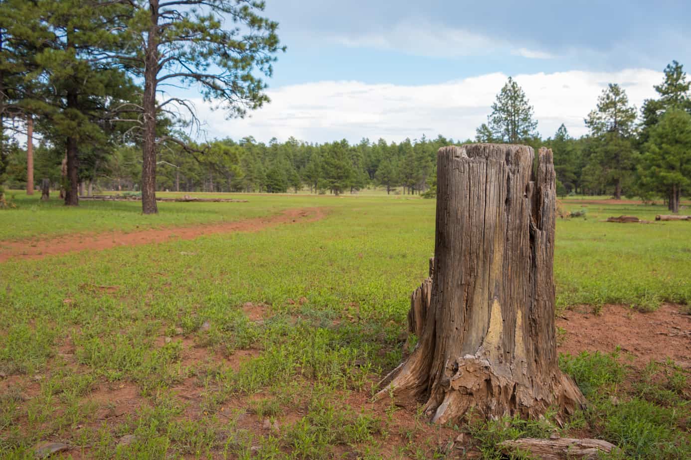
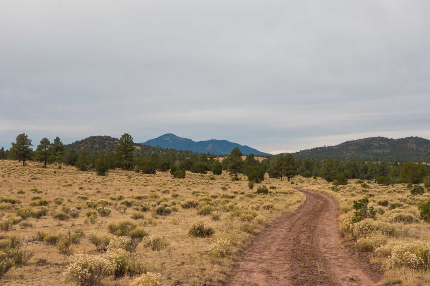
By the time the forest road turns into a narrow two track, you’ll be heading for higher ground once again. Grapefruit-sized rocks and small ravines make the climb up the ridge a bumpy one, so airing down is imperative. The rattling road is well worth the effort though, as the crest reveals soft pastures and pine trees so green you’ll swear they are out of a fairy tale. Elk and mule deer often bound through the woods alongside vehicles, and several streams and lakes dot the countryside in perfect serenity.
Before the enchantment of these trails wears off, a paved road thrusts you onto Route 66 for some 1950’s-style fun in the town of Williams. Cool coffee shops and rockin’ diners line the main street, and the irresistible smoky smell of barbeque and burgers wafts across town from various restaurants. It may be a bit touristy, but don’t be fooled—Williams is a bona fide historic town. It is on the last section of Route 66 to be bypassed by the interstate highway, which marked the end of an era for U.S. motor travel.


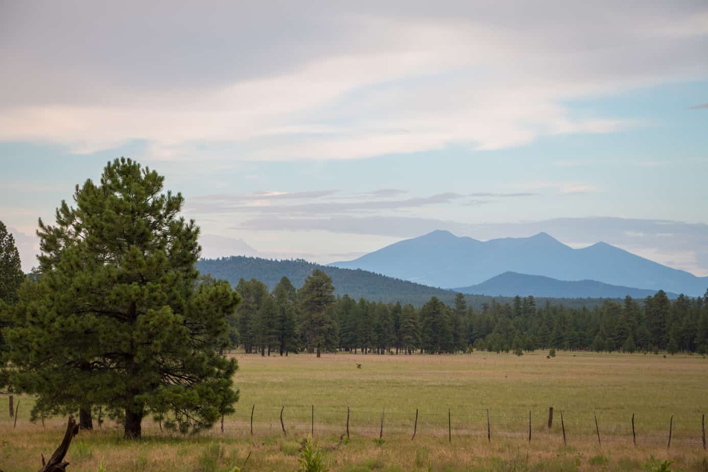
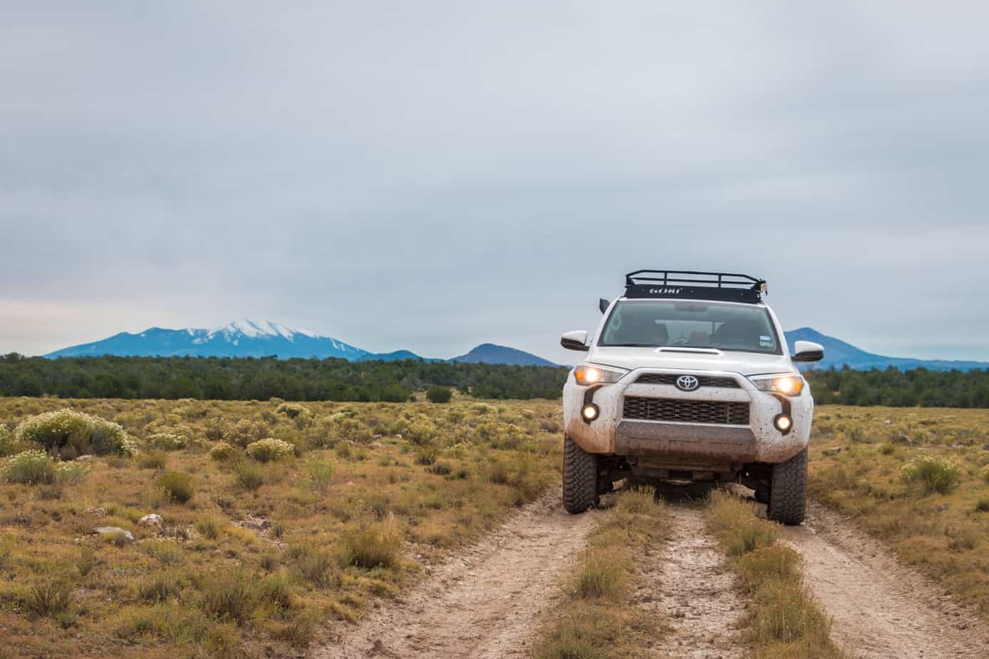
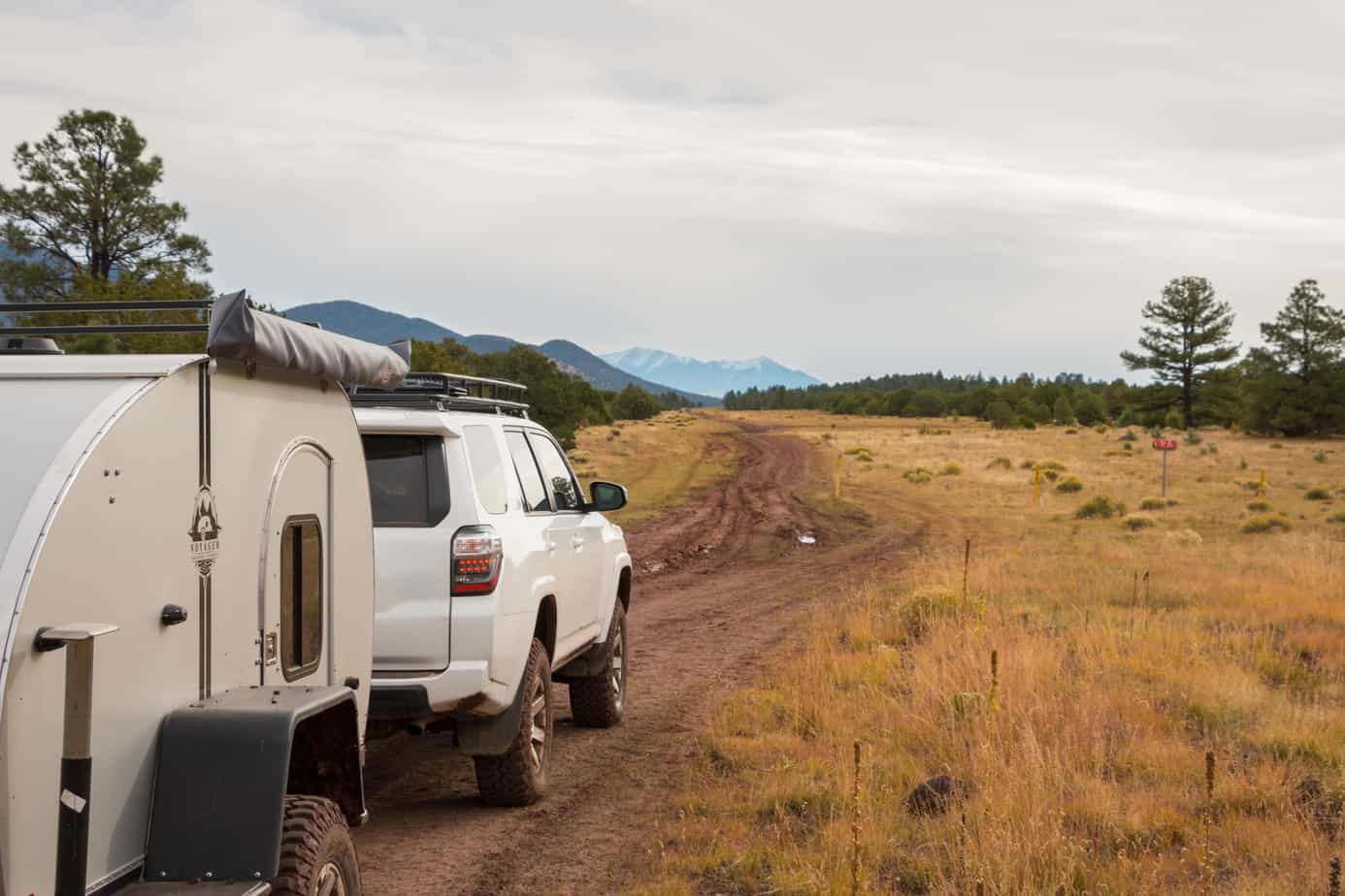
After scarfing down a burger (or two), roll your way back to the car and head north for the final stretch. You’ll track toward the San Francisco Peaks on rocky forest roads that are often plagued by deep mud. The initial path can be tricky to follow, but things soon open up to where you can cruise easily on wide plains and grasslands, where livestock roam free, and the American West lives on.
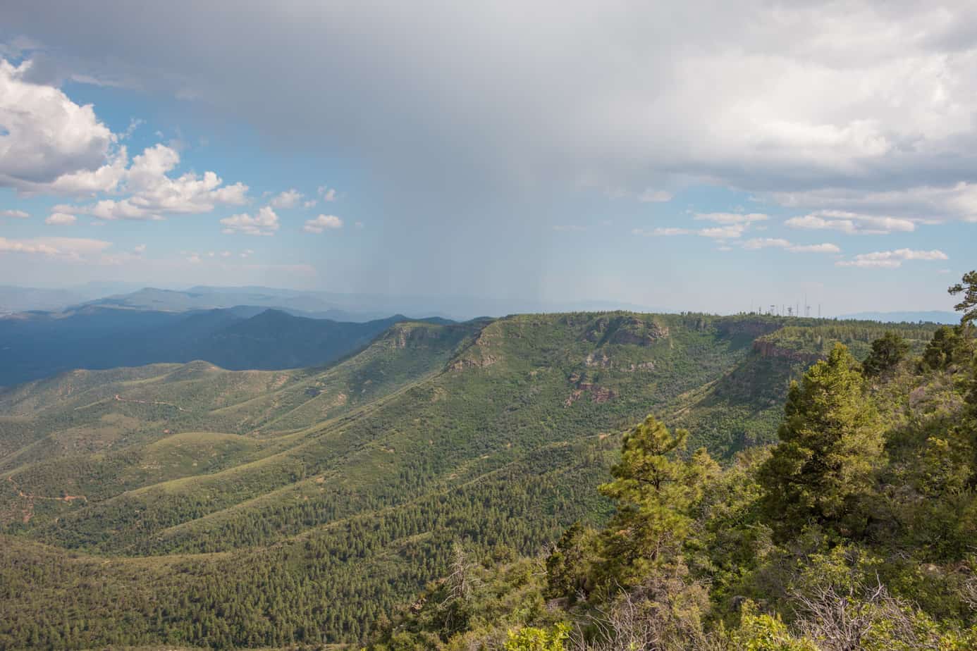
As you reach the Grand Canyon National Park boundary the trail darts back into the woods and becomes lighter until it’s almost imperceptible. On several occasions we had to get out and walk to find the track, skirting downed trees that had clearly blocked the way for some time. The going was often slow, but with careful tracking in a few hours’ time we came to the forest’s edge, revealing the staggering drop and inspiring walls of the canyon.

ACCESS
South entrance From the intersection of SR 69 and SR 169 in Dewey-Humboldt, go east for 5 miles on SR 169 and turn left onto Old Cherry Road, then proceed on route.
North entrance From the intersection of SR 89 and SR 64 take the latter 42 miles to Coconino Rim Road and turn left, then proceed on route.
LOGISTICS
Distance off-pavement 165 miles
Suggested time 5-6 days
Longest distance without fuel 110 miles
FUEL SOURCES
Dewey-Humboldt, Arizona 34°33’42.0”N, 112°15’35.1”W
Williams, Arizona 35°15’23.9”N, 112°11’30.5”W
Tusayan, Arizona 35°58’25.3”N, 112°07’32.5”W
Cameron, Arizona 35°51’16.1”N, 111°25’28.8”W
DIFFICULTY
The northern section of the Arizona Traverse is largely comprised of forest roads giving it an easy rating. Although any soft-roader can complete the track in good weather, mud and heavy snow can quickly make it impassable.
WHEN TO GO
The best times of year to travel this route are summer and fall when the weather is mild, and the roads are in good condition. In winter, many parts of the trail can be closed, and even open sections are wet, making it easy to damage the road with ruts or holes.
PERMITS AND FEES
A backcountry camping permit ($8) is required for dispersed camping within the boundary of the national park. Although you only cross into the park for the last stretch of trail, we ask that you pay your park entrance fee ($30/car, $25/motorcycle, $15/person) at one of the approved stations listed at nps.gov/grca/planyourvisit/fees.htm. This helps to keep the park open and ensures its preservation for years to come.
 SUGGESTED CAMPSITES
Cherry Creek Bed & Breakfast
Accommodates multiple vehicles
Great place to take a break, wash off, and let everyone relax
34°35’17.1”N, 112°02’45.2”W
Log Springs Camp
Accommodates 4-5 vehicles
Flat, soft ground, tall pines with plenty of shade, fire rings
34°36’03.1”N, 112°04’25.6”W
Black Hills Overlook
Accommodates 4-5 vehicles
Scenic views with trees and shade
34°38’11.9”N, 112°05’17.9”W
Verde River Banks
Accommodates large groups
haded and protected campsites, hiking, a babbling creek,
swimming holes
34°53’43.1”N, 112°12’24.4”W
Camp in the Pines
Accommodates large groups
Shaded campsites, hiking, swimming holes
35°07’29.9”N, 112°04’39.3”W
 CONTACTS
Coconino National Forest fs.usda.gov/coconino/, 928-527-3600
Yavapai County Sheriff ycsoaz.gov/, 928-771-3260
Coconino County Sheriff coconino.az.gov/sheriff.aspx, 928-774-4523
Forest Service Road Status fs.usda.gov/detailfull/coconino/ alerts-notices/?cid=stelprdb5441646
Flagstaff Ranger Station 928-526-0866
Red Rock Ranger Station 928-282-4119
Overland Route descriptions are intended to be an overview of the trail rather than turn-by-turn instructions. We suggest you download our team’s GPS track by visiting the overland routes home page here.
2 Comments
Corey gilchrist
October 21st, 2018 at 4:19 pmI am very interested in getting the markers, maps etc for the entire northern AZ traverse. Is there a site from which you share?
Derek Drumtra
March 7th, 2019 at 6:43 amI’m interested in the entire route from the Mexican border to the Grand Canyon. Do you have the entire thing mapped out somewhere?