RadRed06
Member
This would be our 4th trip in 4 summers and we decided to center our journey around Ouray, CO and Page, AZ. This would be a 14 day trip with the main goal of hitting as much dirt as possible.
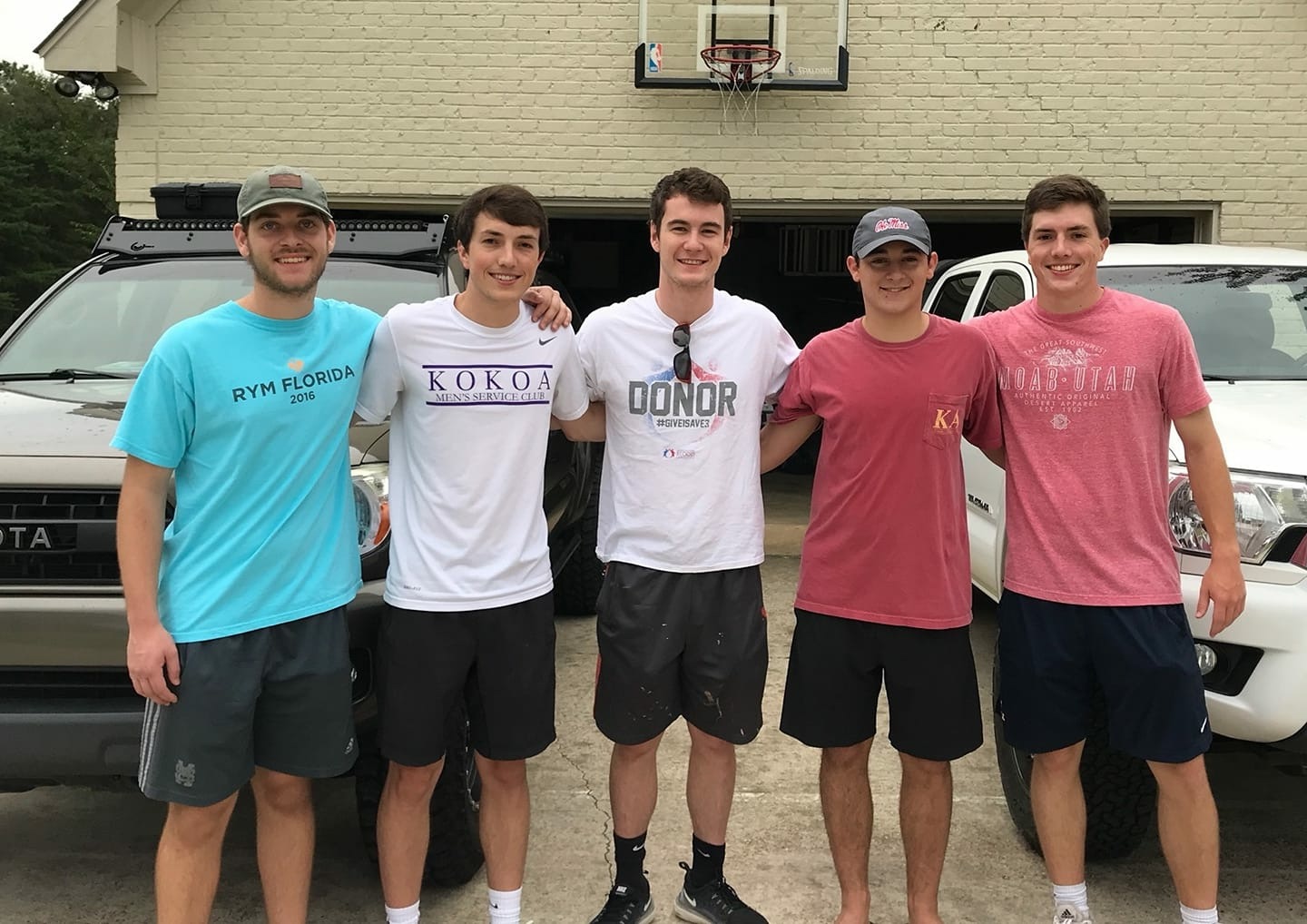
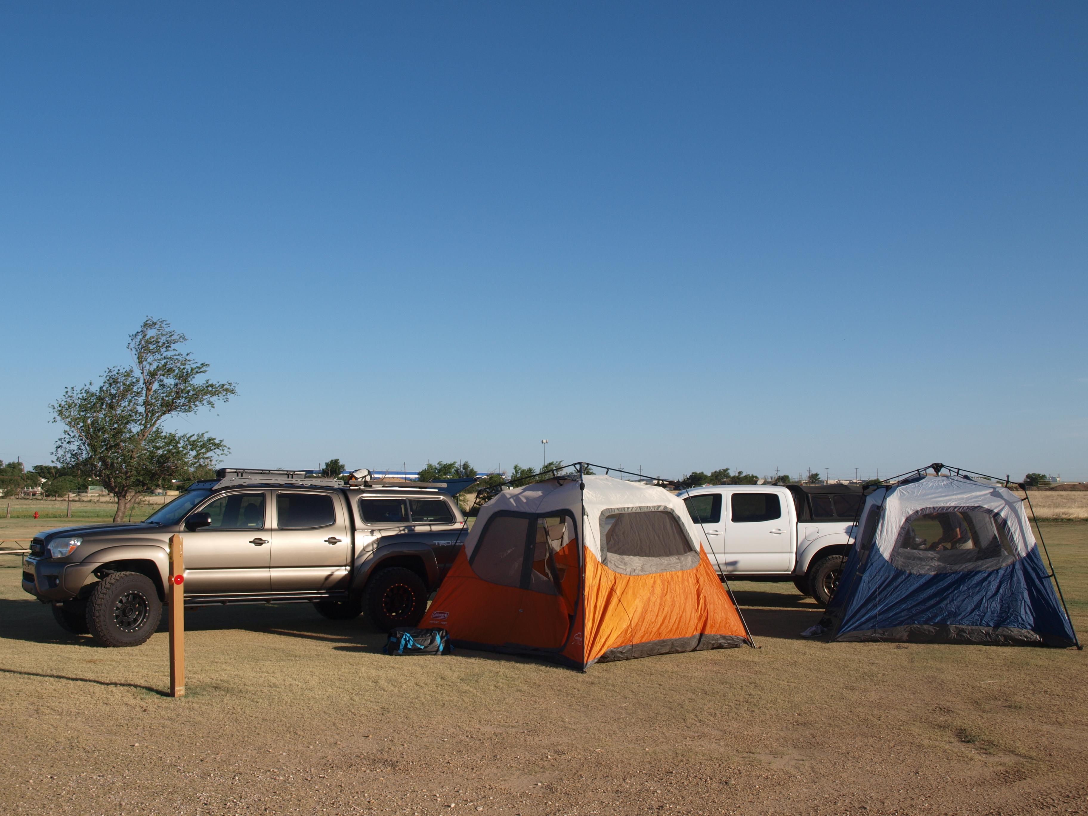
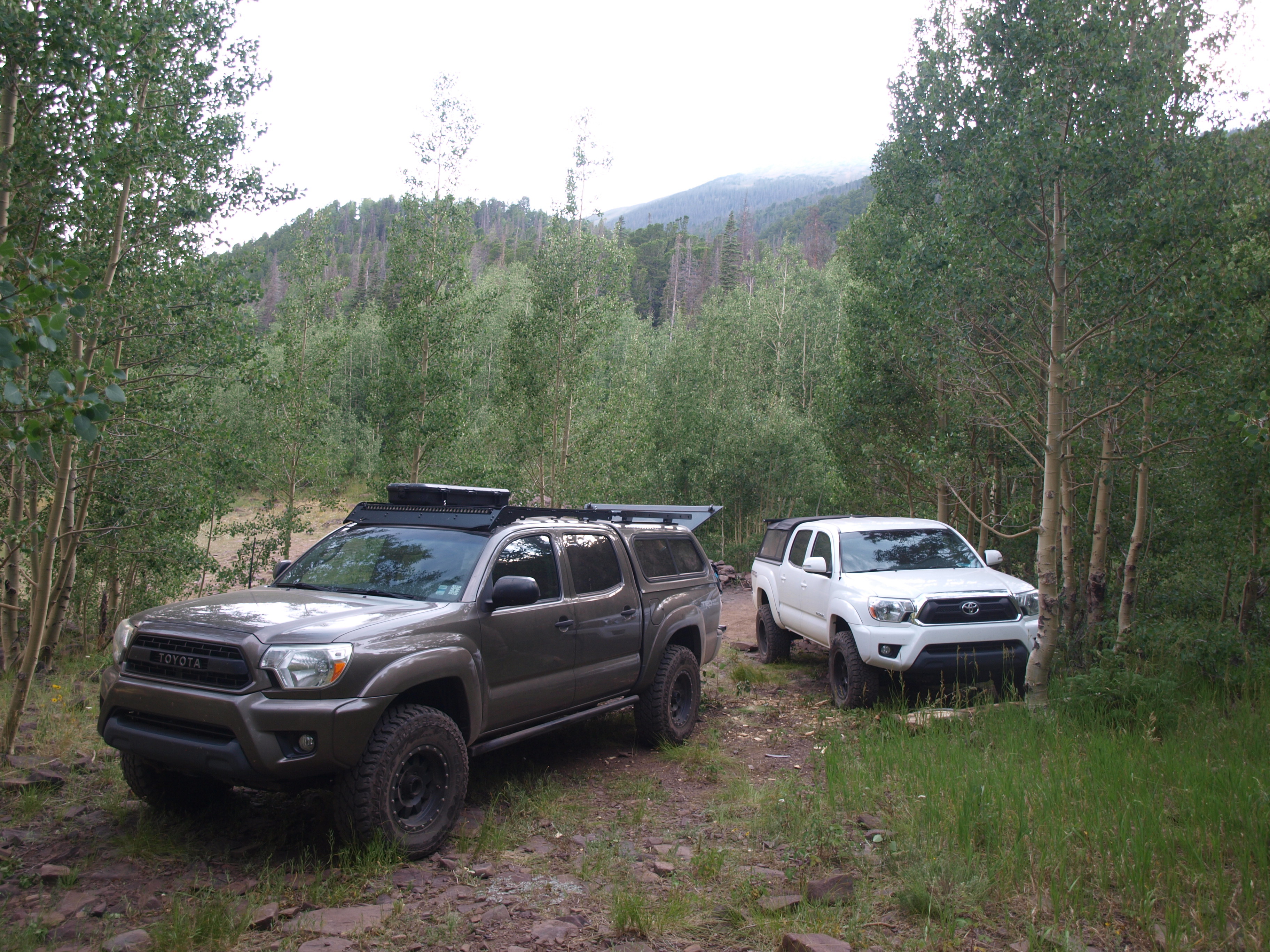
Our group consisted of five college friends and two 4WD Toyota Tacomas.
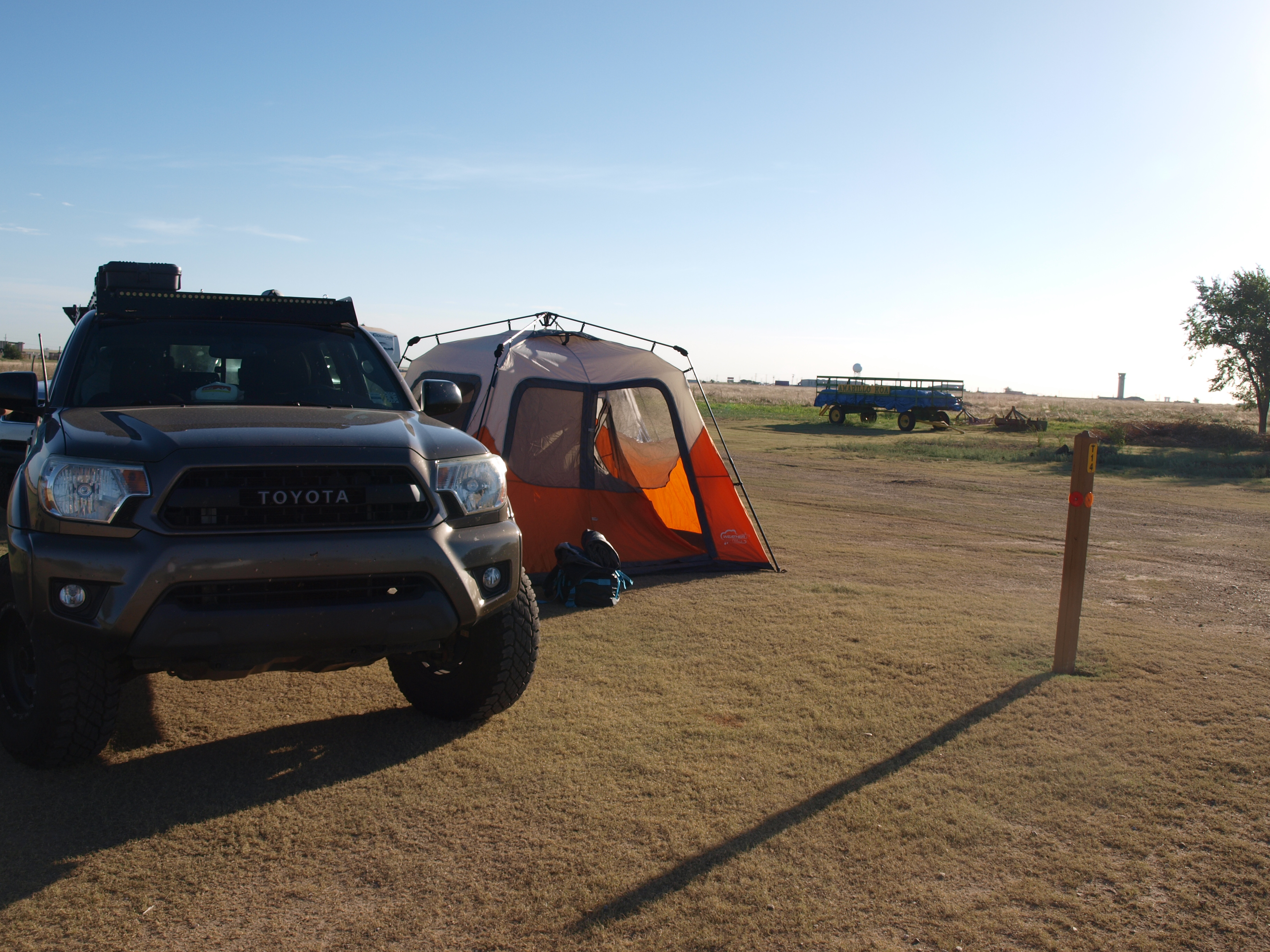
 IMG_3954 by Daniel Atkins, on Flickr
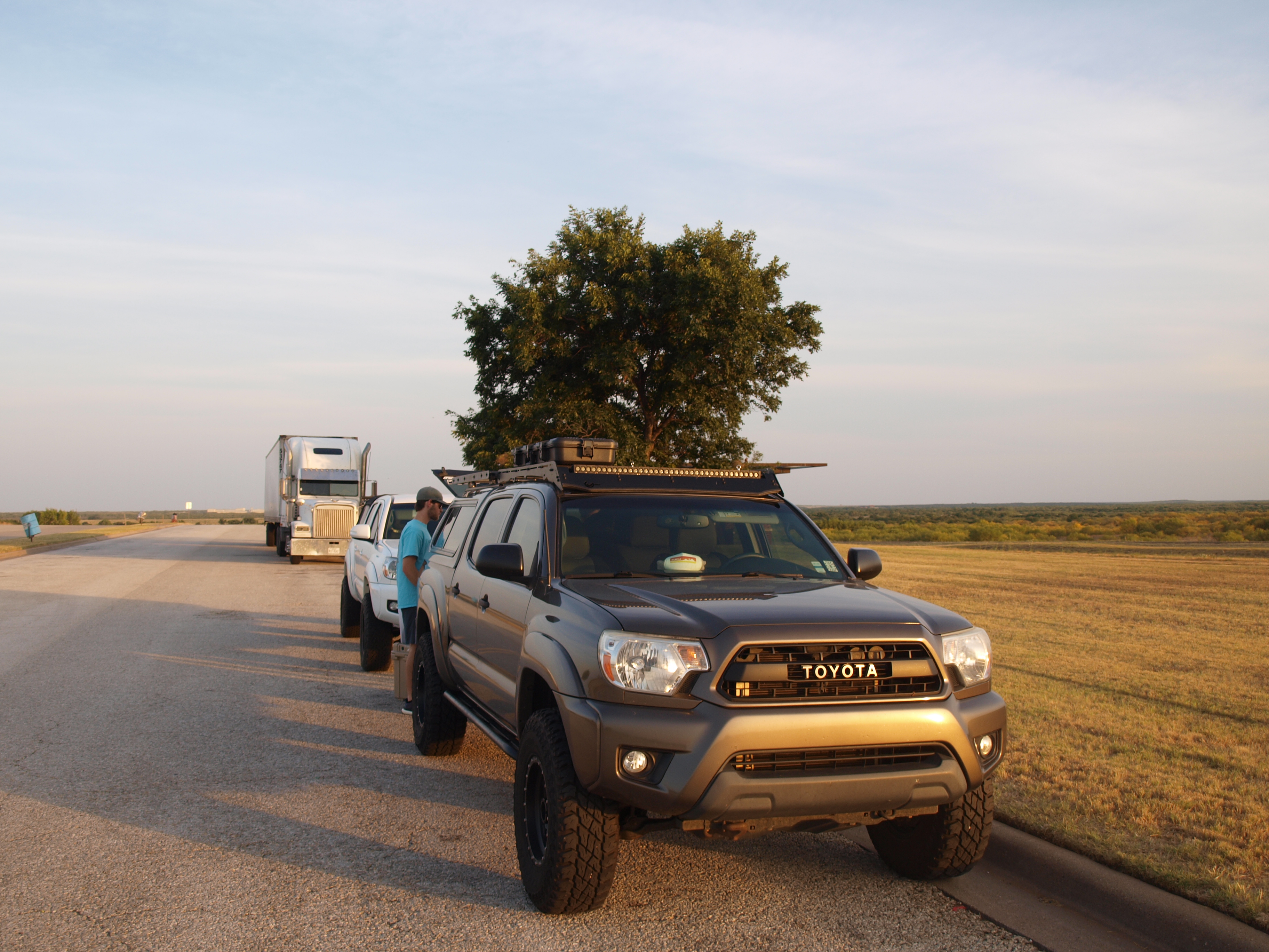
Day 1: Madison, MS to Amarillo, TX
This would be a day filled with a lot of miles and minimal scenery. Amarillo makes a good first night because the drive from Mississippi can be done in a day and the temperature is usually in the 70s at night making sleep much easier to come by.
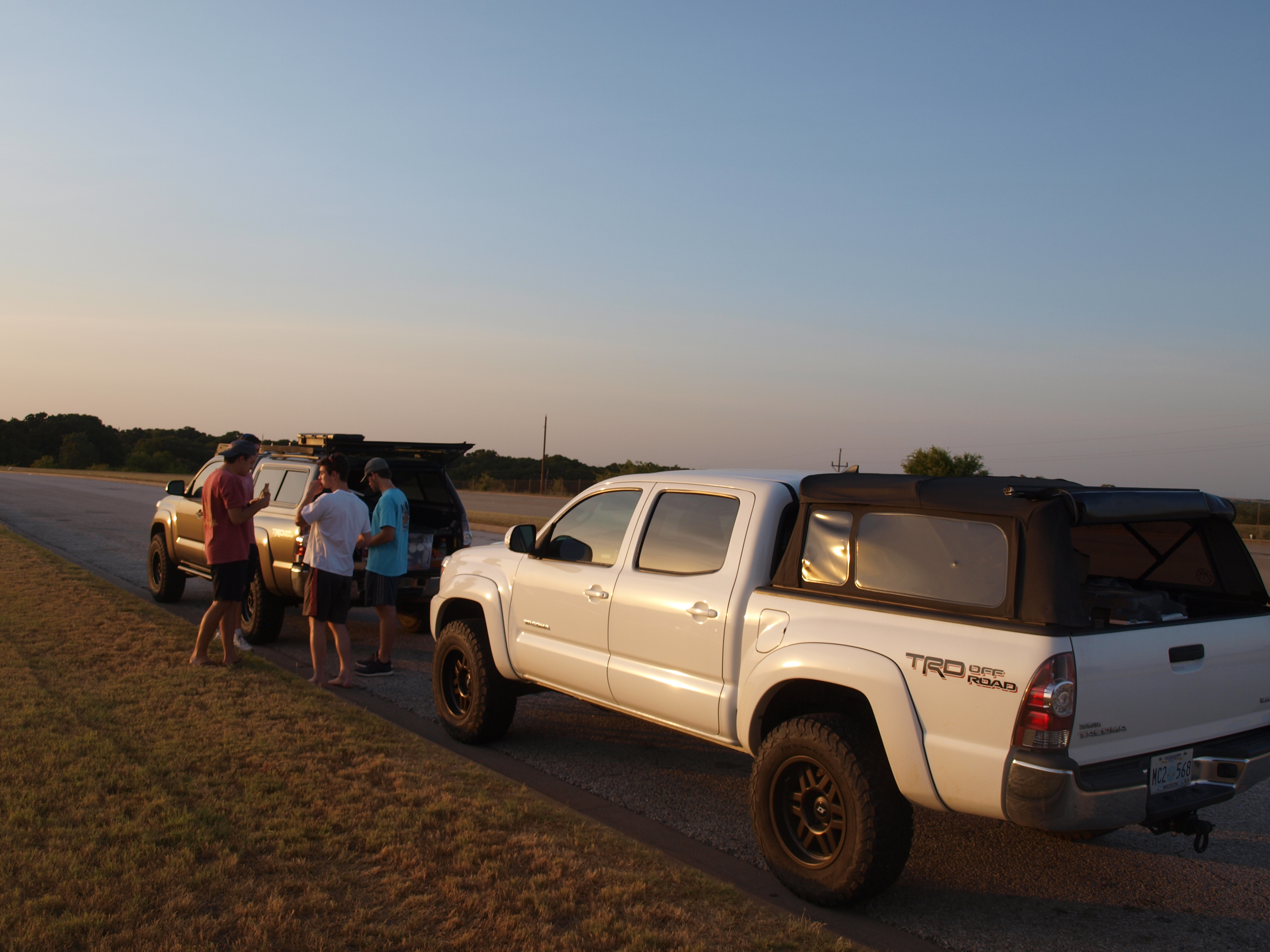
We stopped for a dinner break outside of Wichita Falls, TX. Sandwiches were our go to for most of the trip.
 P1012489 by Daniel Atkins, on Flickr
 P1012491 by Daniel Atkins, on Flickr
 P1012490 by Daniel Atkins, on Flickr
Pulled in to the Amarillo KOA around midnight, popped our tents and got some rest.
Day 2: Amarillo, TX to Westcliffe, CO
The sunlight and rising temps forced us out of our tents so we showered and hit the road.
 P1012493 by Daniel Atkins, on Flickr
 P1012494 by Daniel Atkins, on Flickr
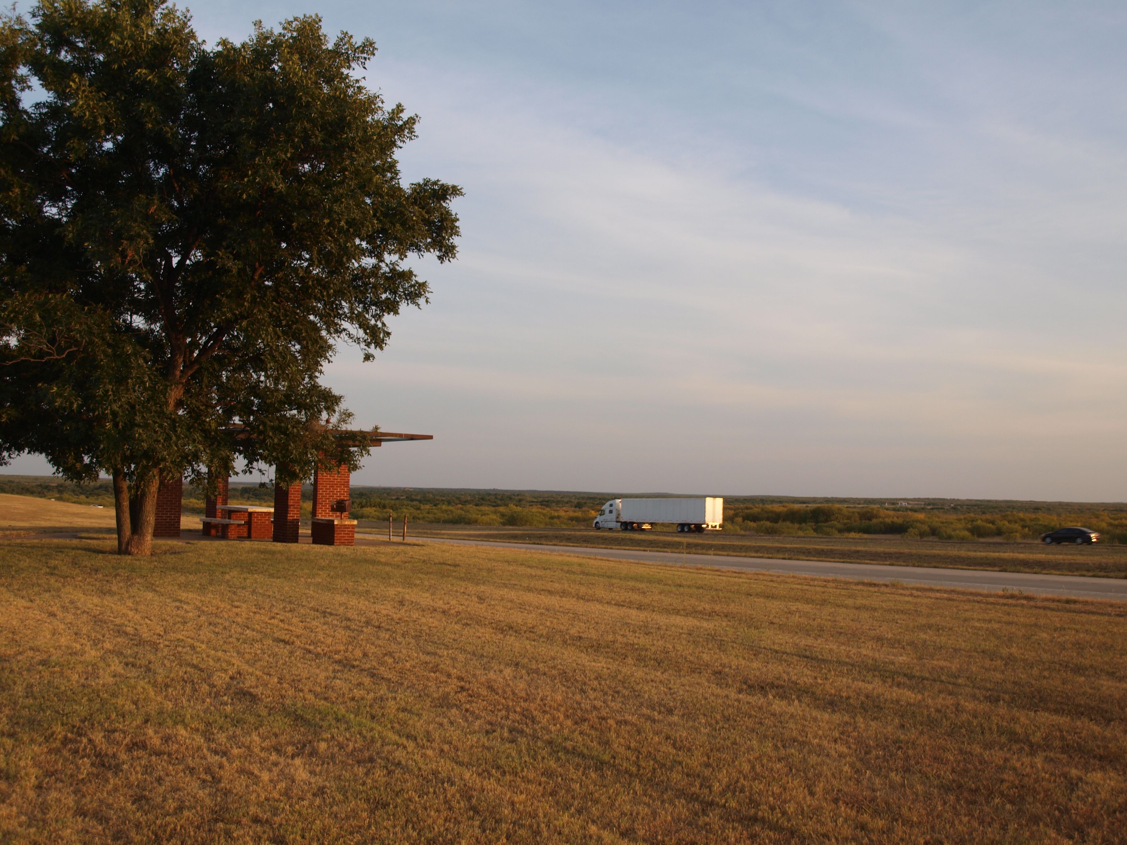
For the second day we endured a lot of highway miles and not much to look at. We stopped at Capulin National Monument for a lunch break but did not drive to the top of the volcano as the wait times were around an hour.
We pulled into Westcliffe, CO around 3pm and made sure to gas up and grab some snacks before we began our first trail of the trip.
Cloverdale Mine
As we pulled up to the trailhead to air down we were met with a large group of Lutherans who were having some sort of event that evening. Apparently there is a Lutheran camp located near the Cloverdale Mine trailhead. After informing them that we were in fact not participating in their get together we aired down.
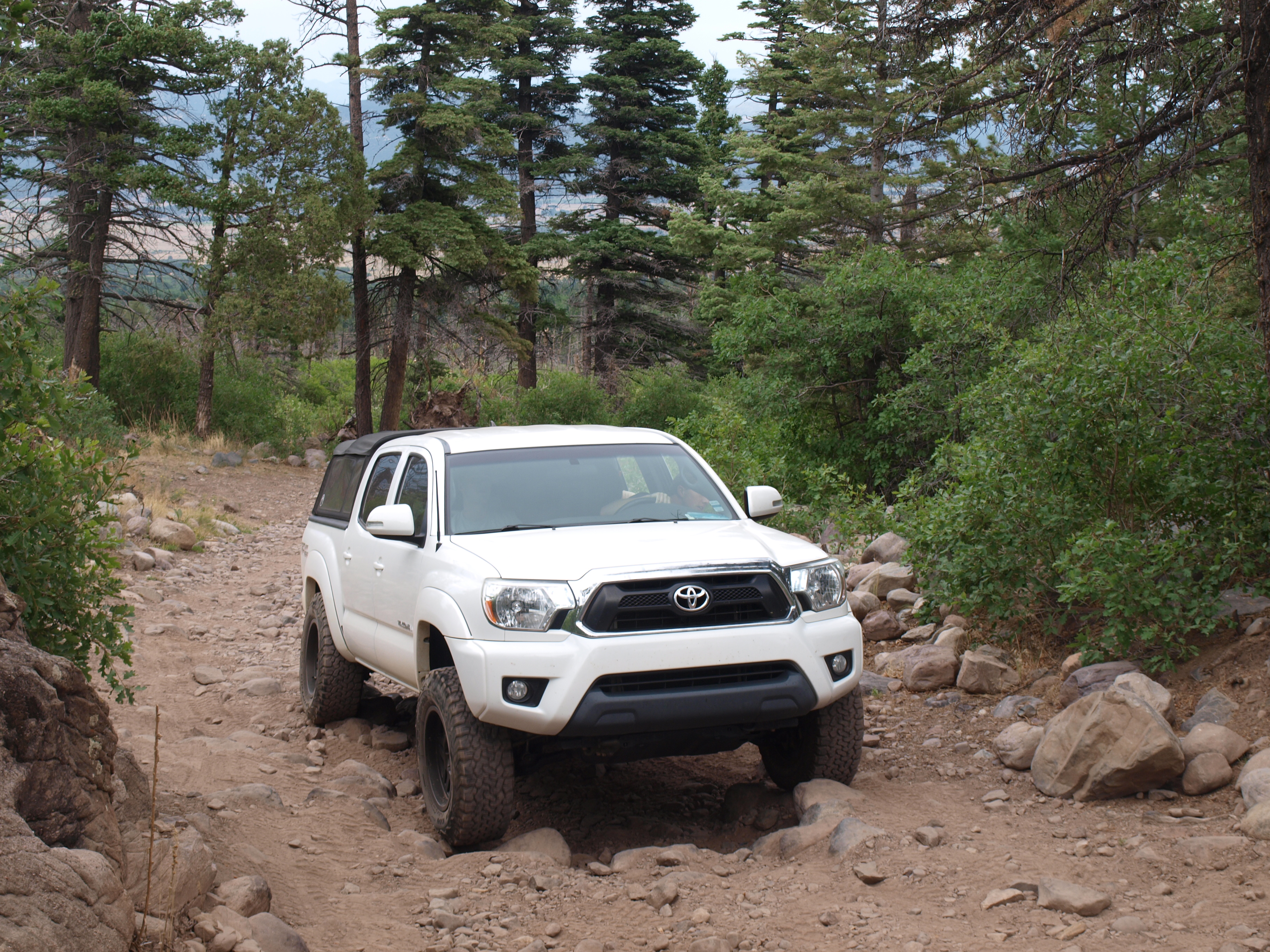
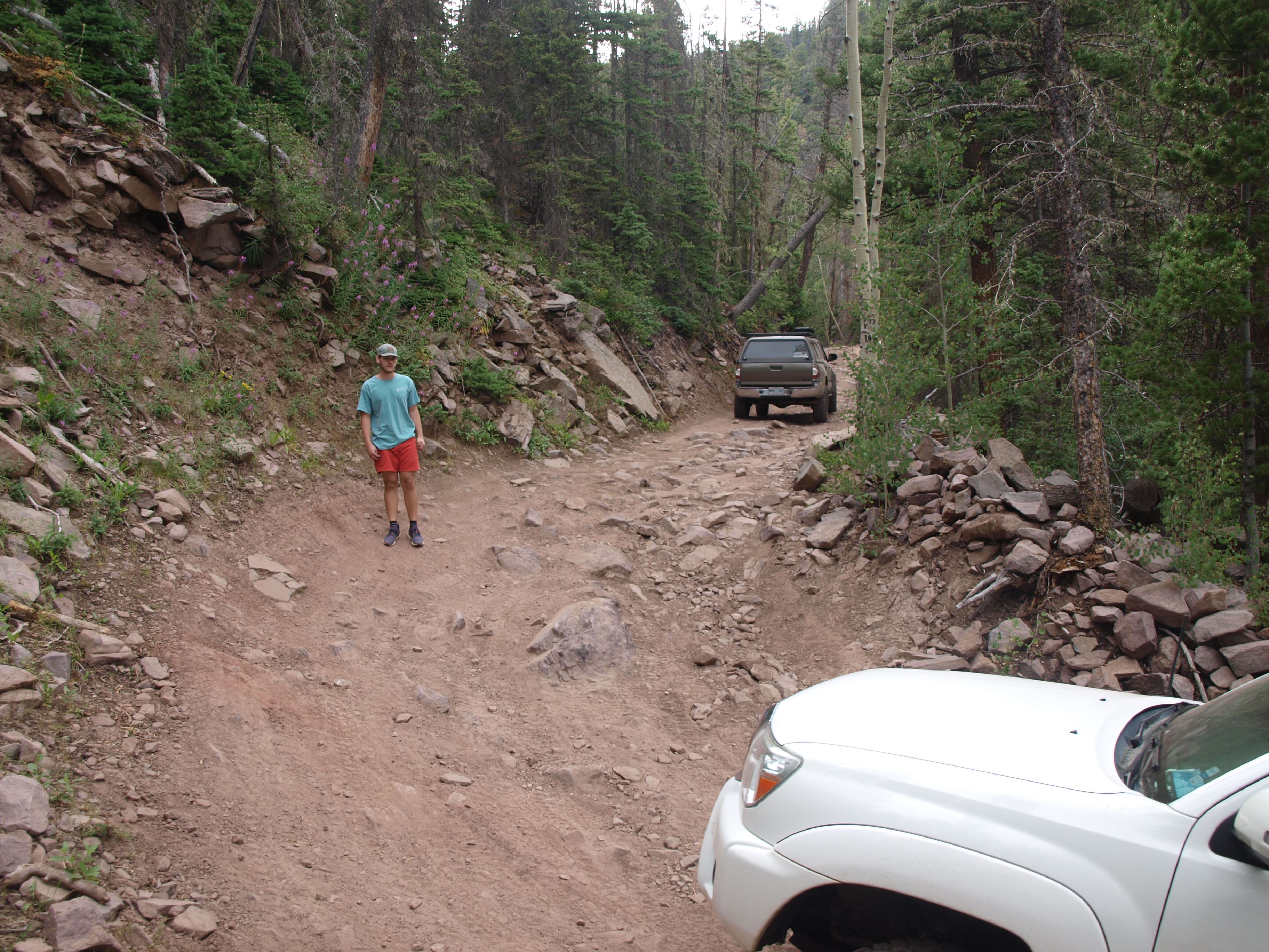
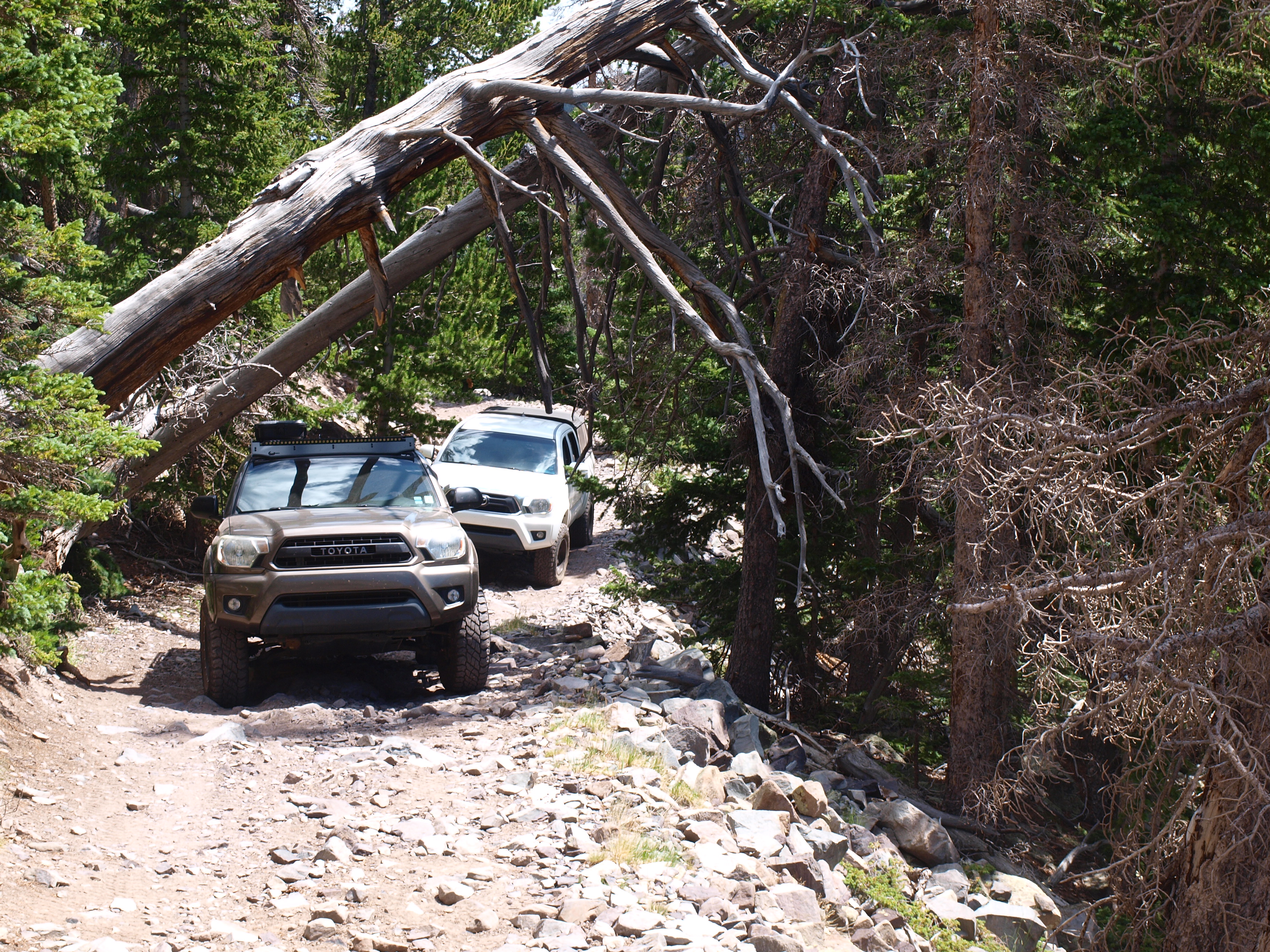
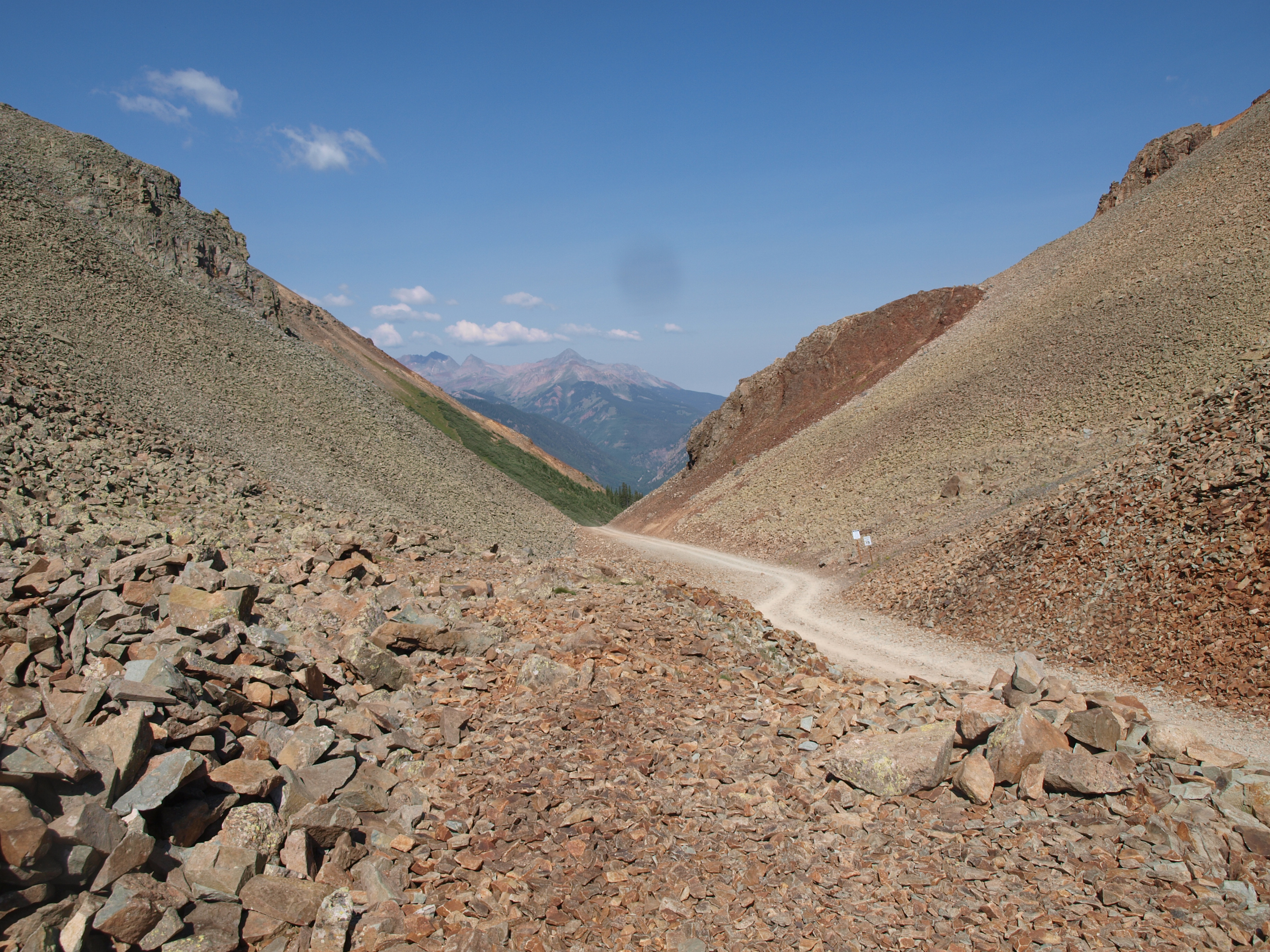
The trail starts off rocky and stays that way for pretty much the entire 5 miles.
 P1012497 by Daniel Atkins, on Flickr
 P1012498 by Daniel Atkins, on Flickr
 P1012501 by Daniel Atkins, on Flickr
Our goal for the night was to camp at a lake along the trail
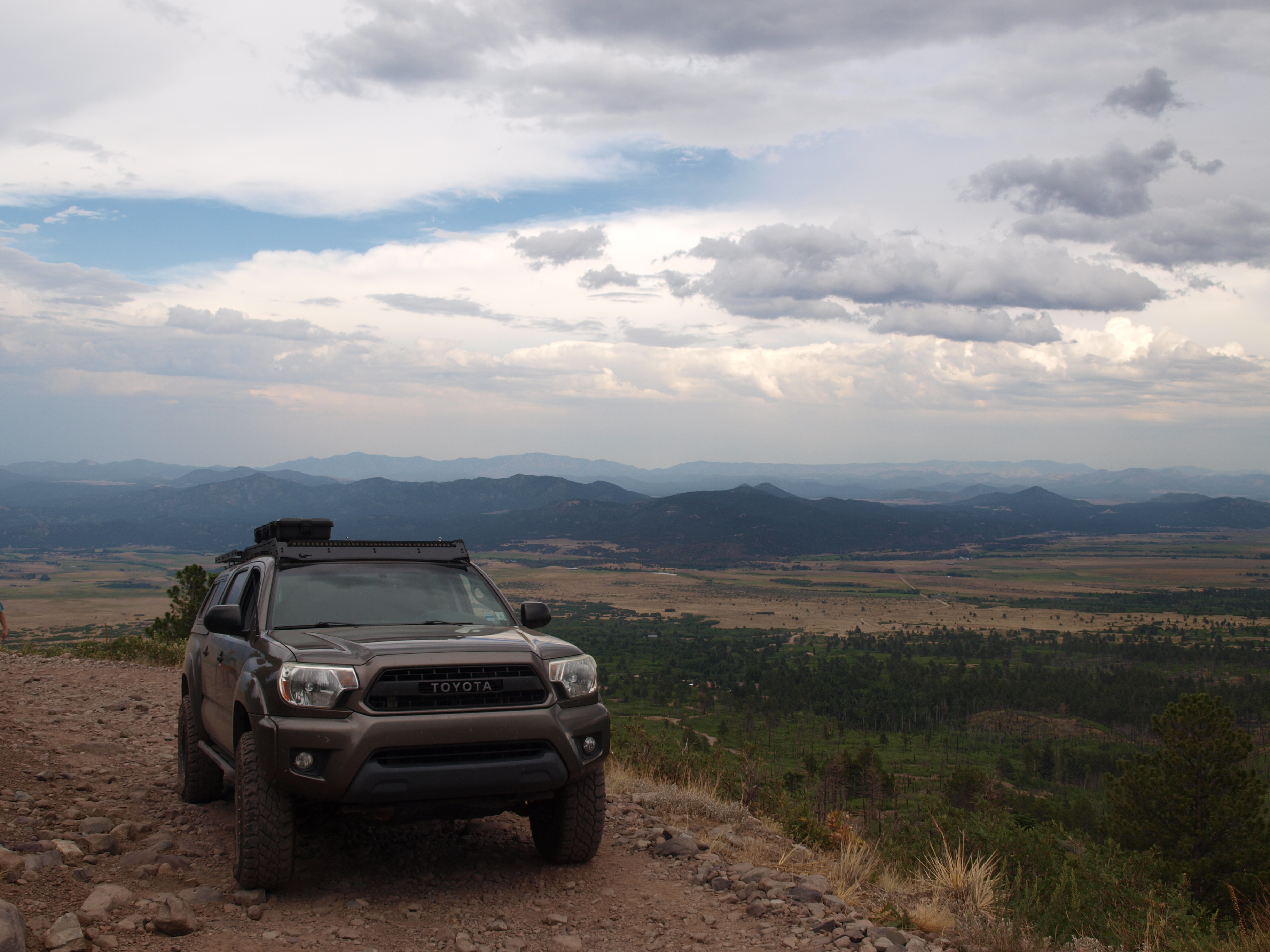
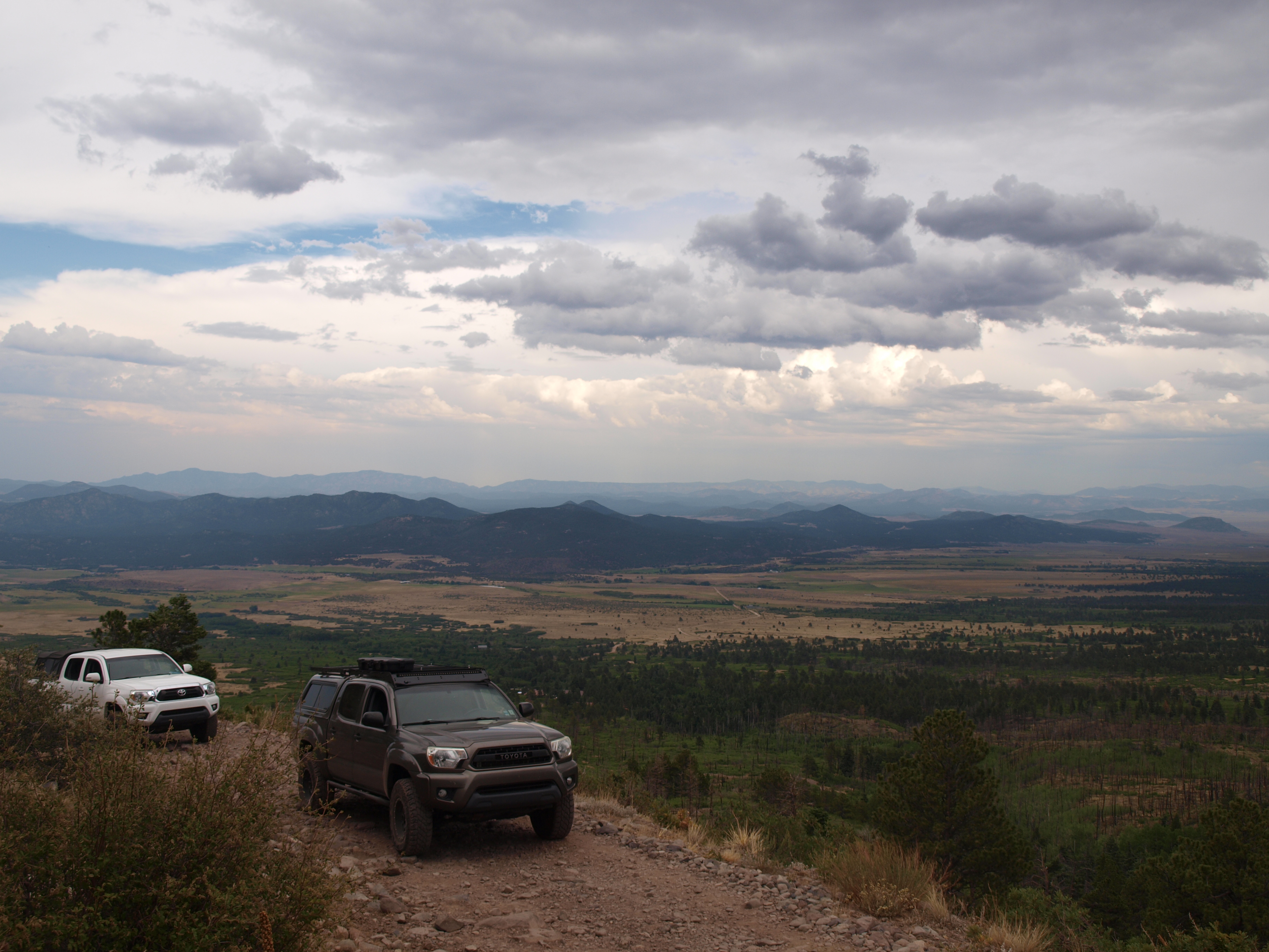
We made decent time and enjoyed the views along the way up. A fire of previous years had done a number on the forest and the effects were obvious. Nonetheless the drive was beautiful.
 P1012504 by Daniel Atkins, on Flickr
 P1012506 by Daniel Atkins, on Flickr
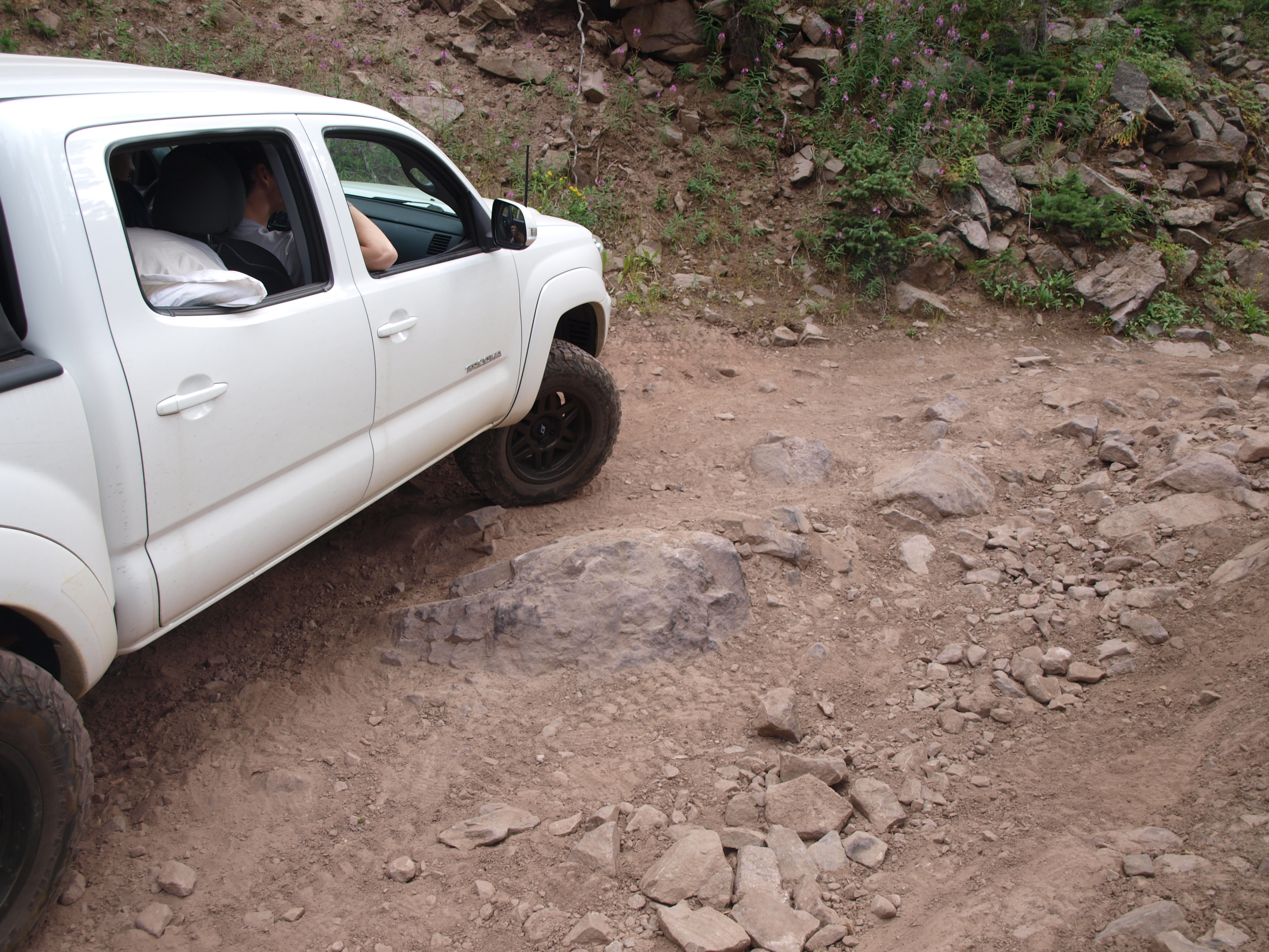
Biggest obstacle we encountered on the way up was this tight switchback with a rock in the middle of the trail. Erosion had helped to reveal it which made it more of an issue. We made sure to watch our diffs and made it up no problem.
 P1012509 by Daniel Atkins, on Flickr
 P1012511 by Daniel Atkins, on Flickr
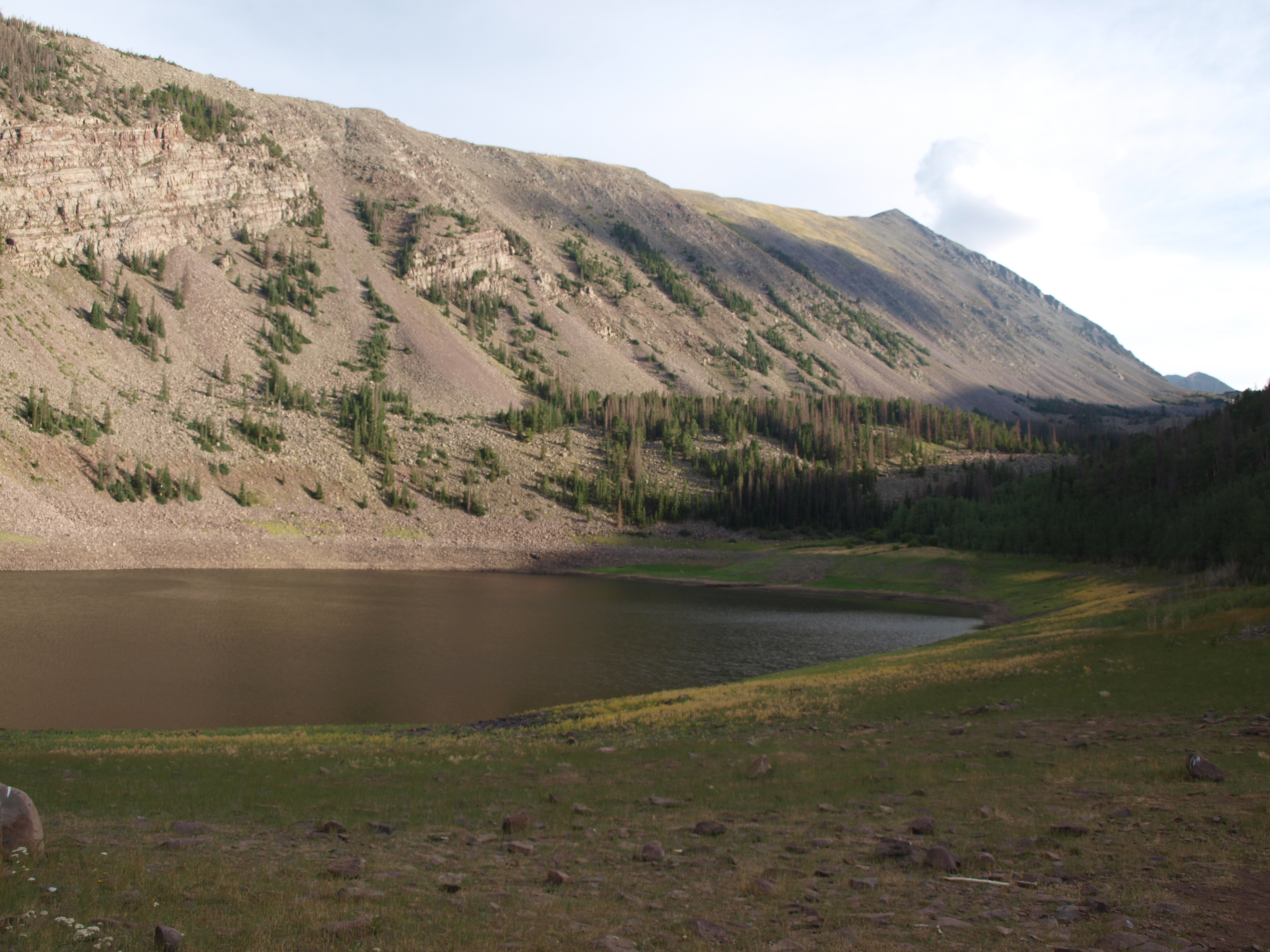
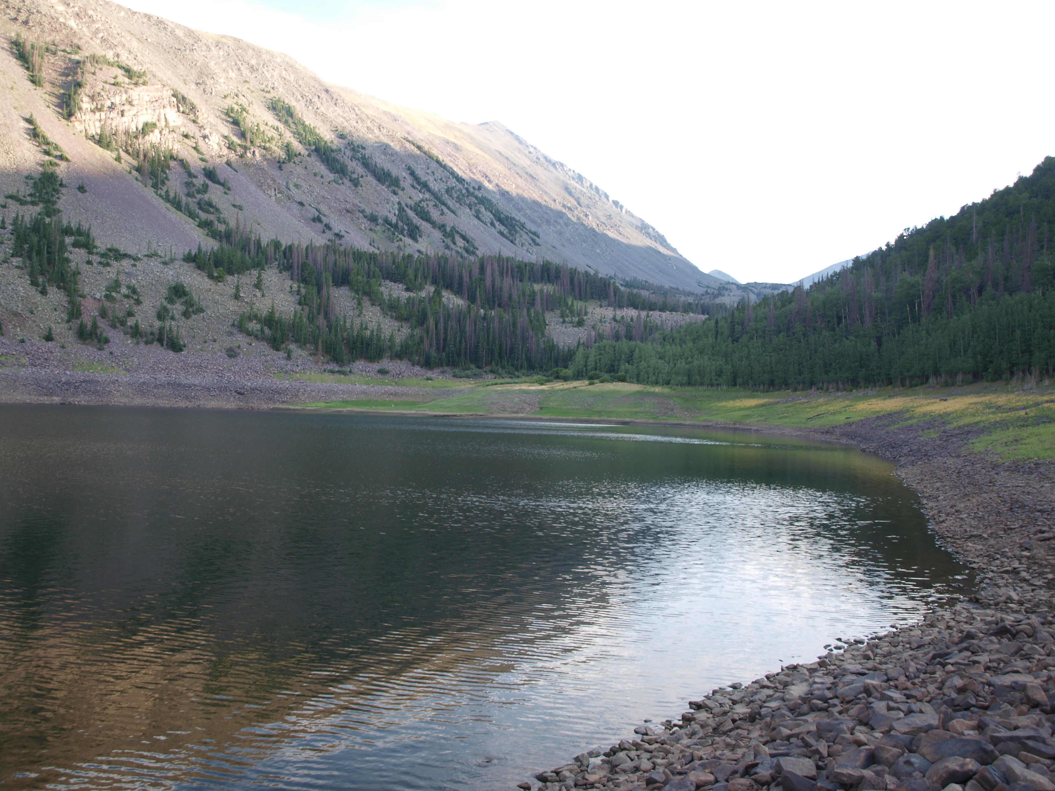
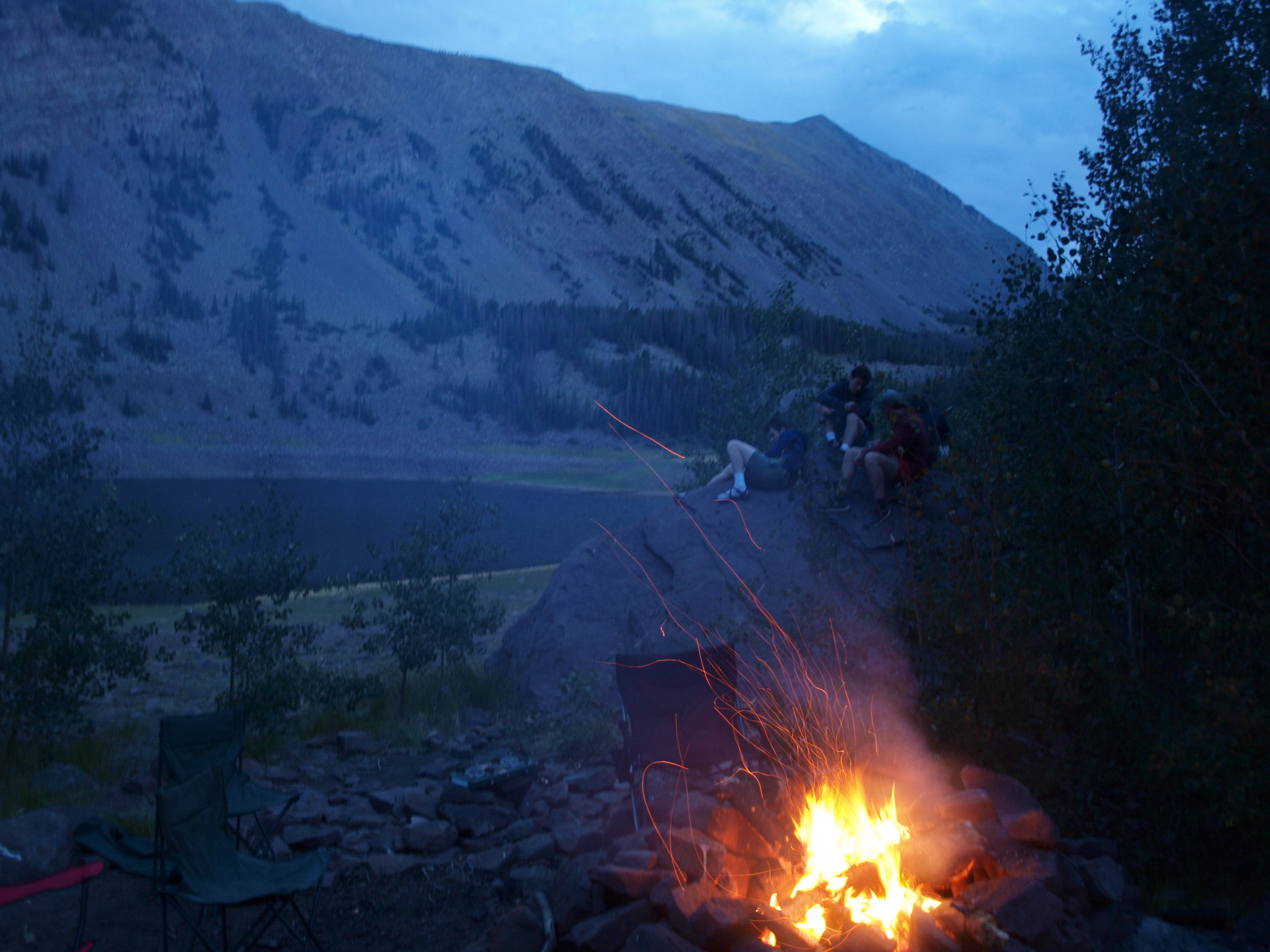
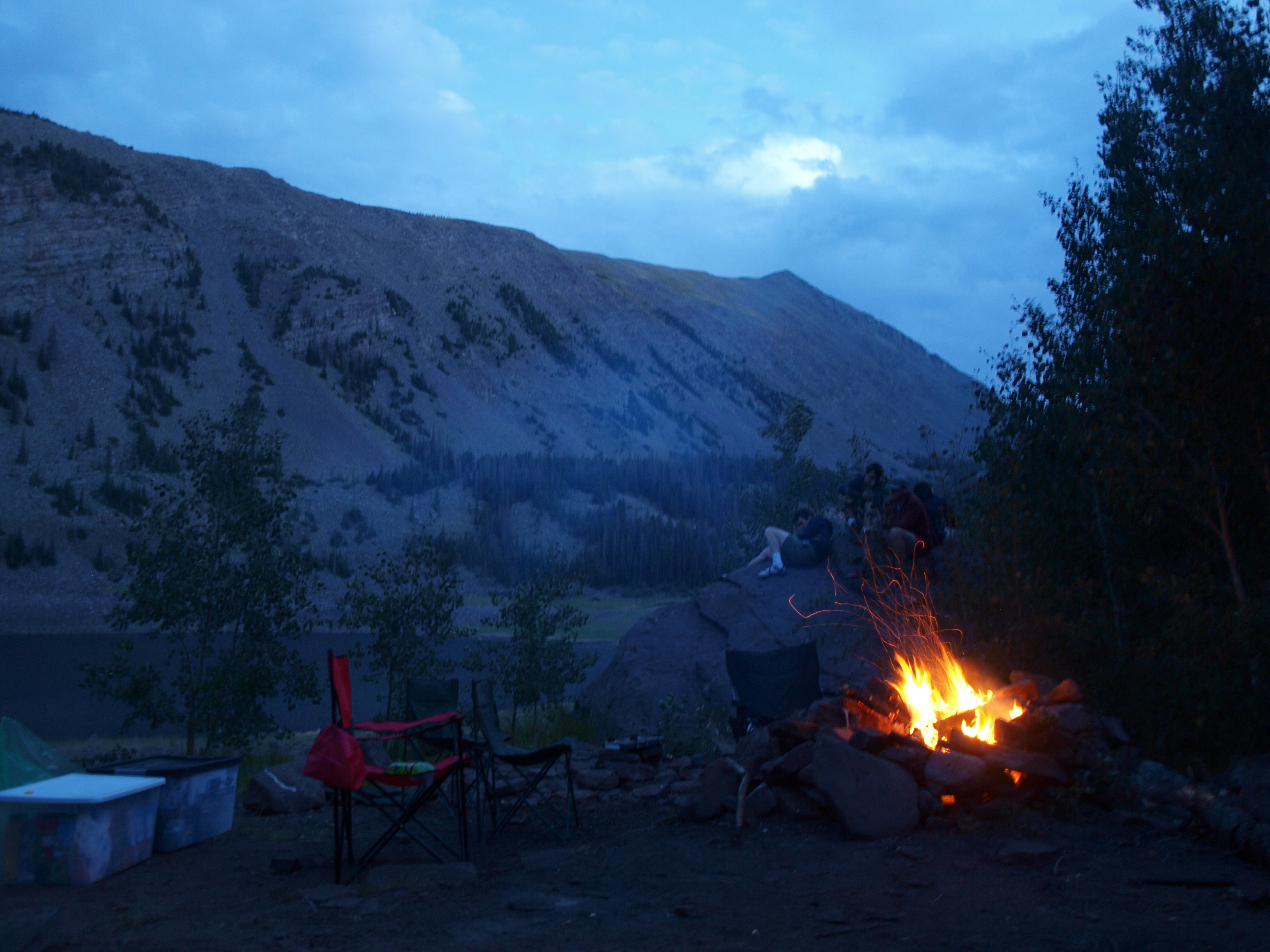
We finally made it to the lake which was even better than anticipated.
 P1012514 by Daniel Atkins, on Flickr
 P1012513 by Daniel Atkins, on Flickr
 P1012519 by Daniel Atkins, on Flickr
We spent our night relaxing around the fire and enjoying some music off of our bluetooth speaker.
 P1012520 by Daniel Atkins, on Flickr
 P1012522 by Daniel Atkins, on Flickr
The first real day of the trip had been a success.
Our group consisted of five college friends and two 4WD Toyota Tacomas.
IMG_3954 by Daniel Atkins, on FlickrDay 1: Madison, MS to Amarillo, TX
This would be a day filled with a lot of miles and minimal scenery. Amarillo makes a good first night because the drive from Mississippi can be done in a day and the temperature is usually in the 70s at night making sleep much easier to come by.
We stopped for a dinner break outside of Wichita Falls, TX. Sandwiches were our go to for most of the trip.
P1012489 by Daniel Atkins, on Flickr
P1012491 by Daniel Atkins, on Flickr
P1012490 by Daniel Atkins, on FlickrPulled in to the Amarillo KOA around midnight, popped our tents and got some rest.
Day 2: Amarillo, TX to Westcliffe, CO
The sunlight and rising temps forced us out of our tents so we showered and hit the road.
P1012493 by Daniel Atkins, on Flickr
P1012494 by Daniel Atkins, on FlickrFor the second day we endured a lot of highway miles and not much to look at. We stopped at Capulin National Monument for a lunch break but did not drive to the top of the volcano as the wait times were around an hour.
We pulled into Westcliffe, CO around 3pm and made sure to gas up and grab some snacks before we began our first trail of the trip.
Cloverdale Mine
As we pulled up to the trailhead to air down we were met with a large group of Lutherans who were having some sort of event that evening. Apparently there is a Lutheran camp located near the Cloverdale Mine trailhead. After informing them that we were in fact not participating in their get together we aired down.
The trail starts off rocky and stays that way for pretty much the entire 5 miles.
P1012497 by Daniel Atkins, on Flickr
P1012498 by Daniel Atkins, on Flickr
P1012501 by Daniel Atkins, on FlickrOur goal for the night was to camp at a lake along the trail
We made decent time and enjoyed the views along the way up. A fire of previous years had done a number on the forest and the effects were obvious. Nonetheless the drive was beautiful.
P1012504 by Daniel Atkins, on Flickr
P1012506 by Daniel Atkins, on FlickrBiggest obstacle we encountered on the way up was this tight switchback with a rock in the middle of the trail. Erosion had helped to reveal it which made it more of an issue. We made sure to watch our diffs and made it up no problem.
P1012509 by Daniel Atkins, on Flickr
P1012511 by Daniel Atkins, on FlickrWe finally made it to the lake which was even better than anticipated.
P1012514 by Daniel Atkins, on Flickr
P1012513 by Daniel Atkins, on Flickr
P1012519 by Daniel Atkins, on FlickrWe spent our night relaxing around the fire and enjoying some music off of our bluetooth speaker.
P1012520 by Daniel Atkins, on Flickr
P1012522 by Daniel Atkins, on FlickrThe first real day of the trip had been a success.
 P1012526
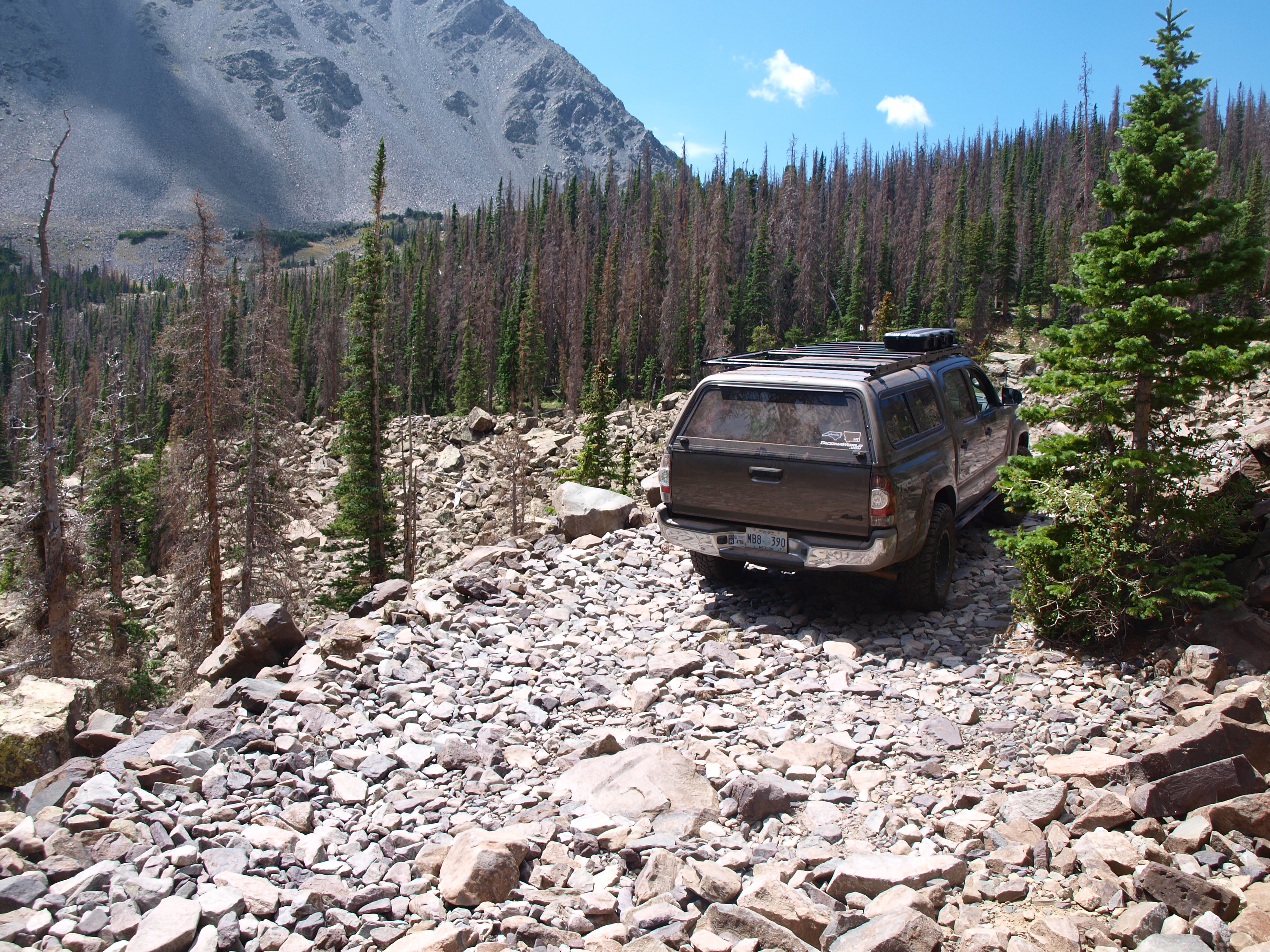 P1012527
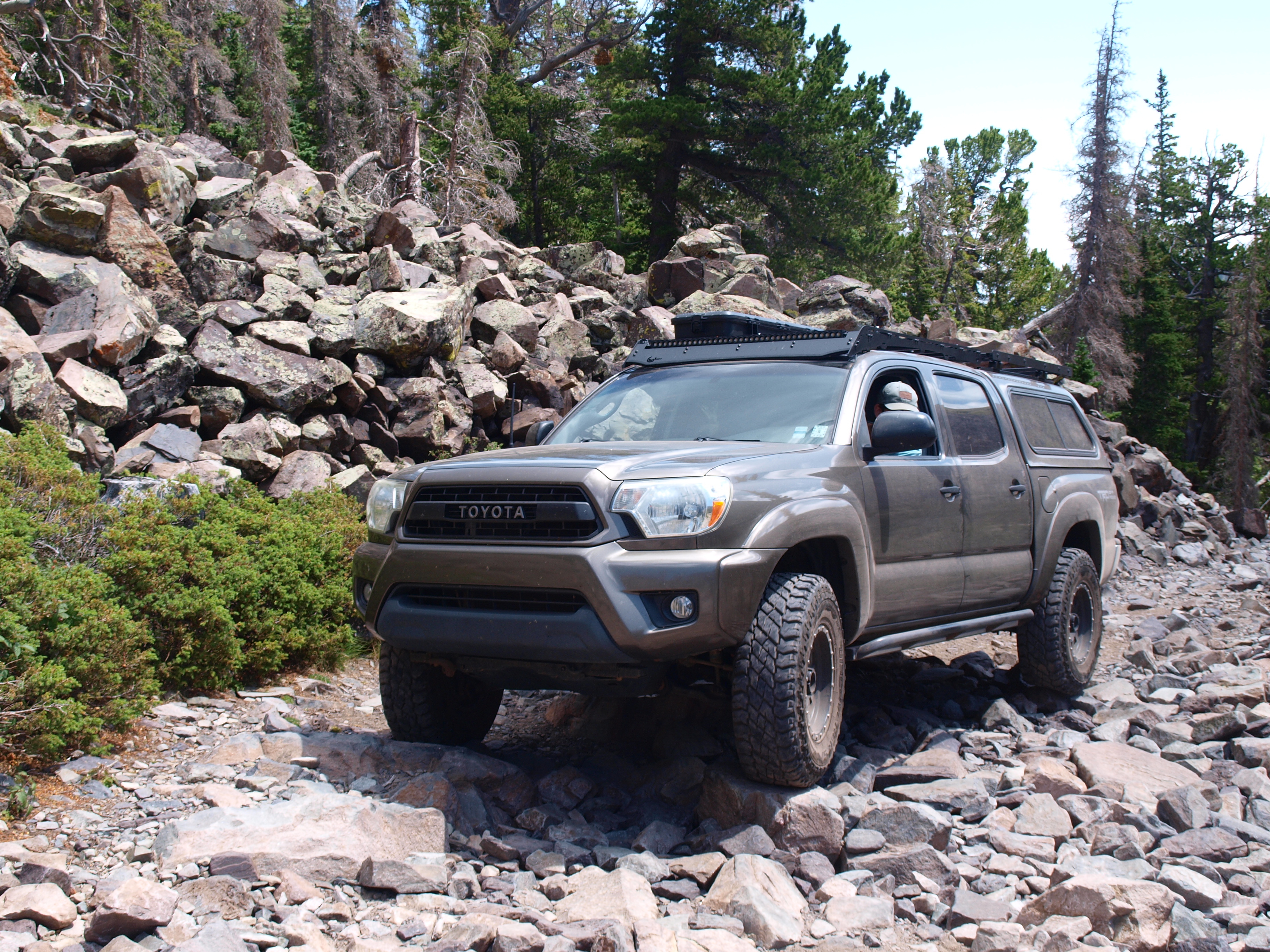 P1012531
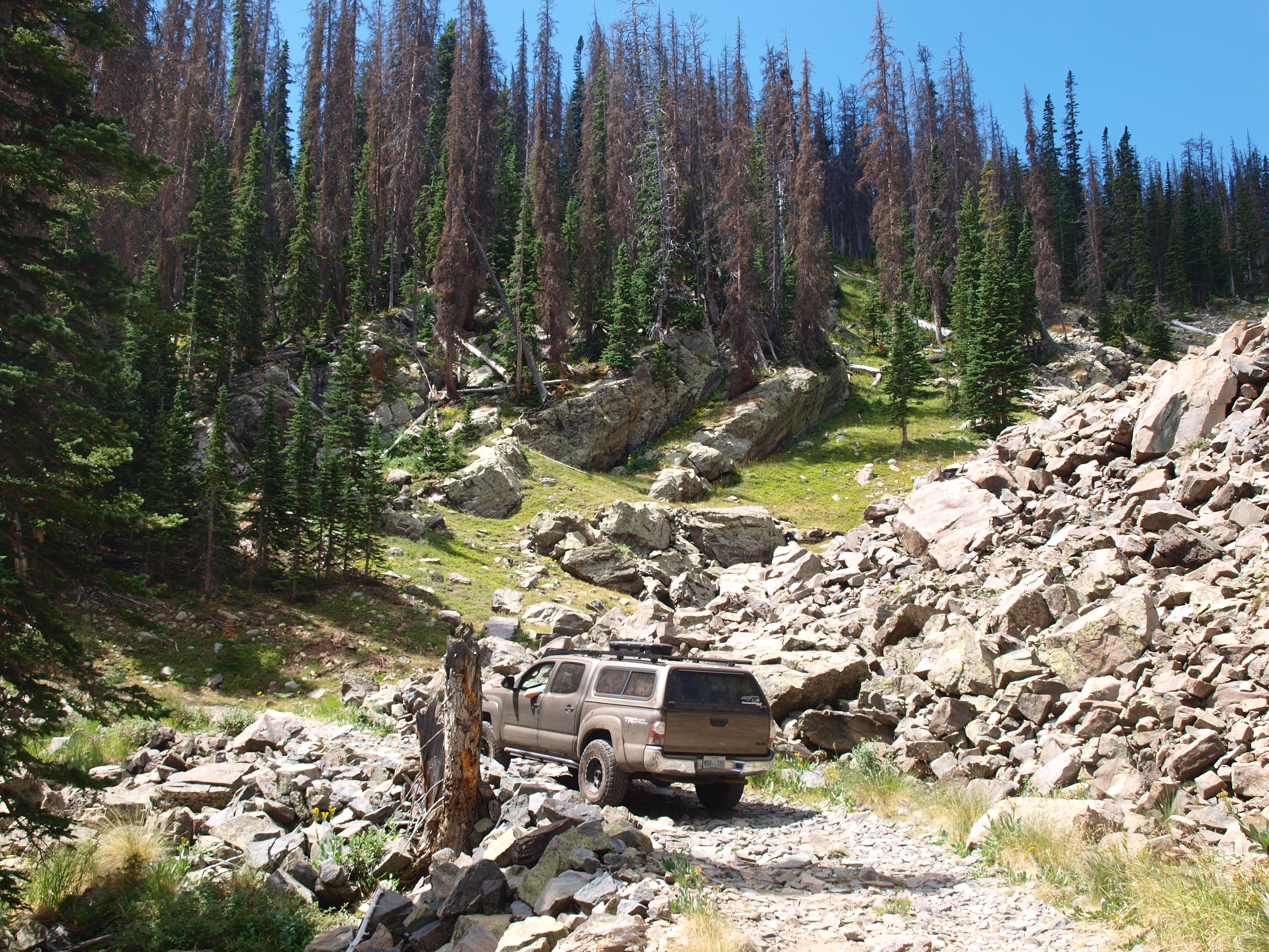 P1012537
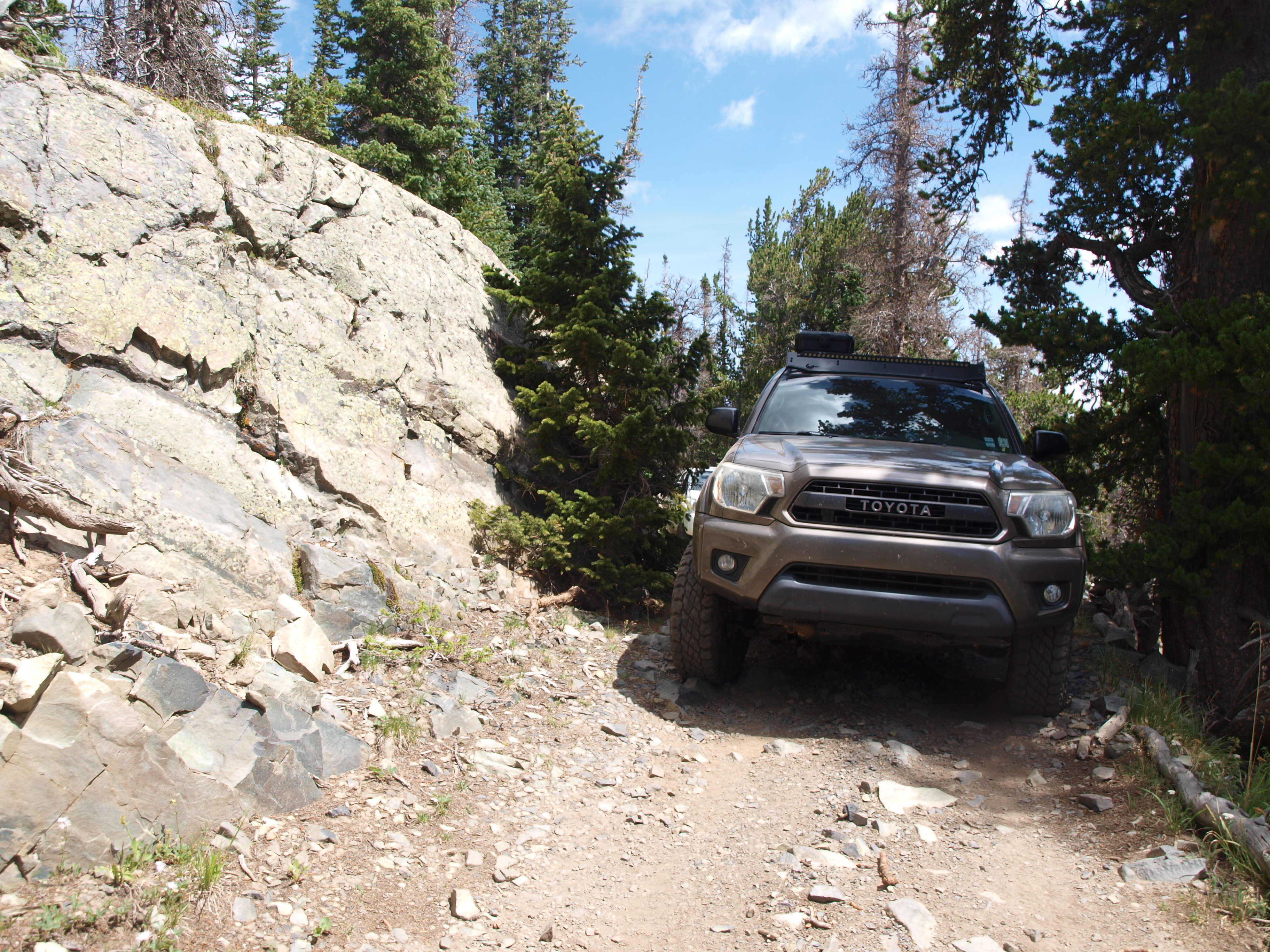 P1012538
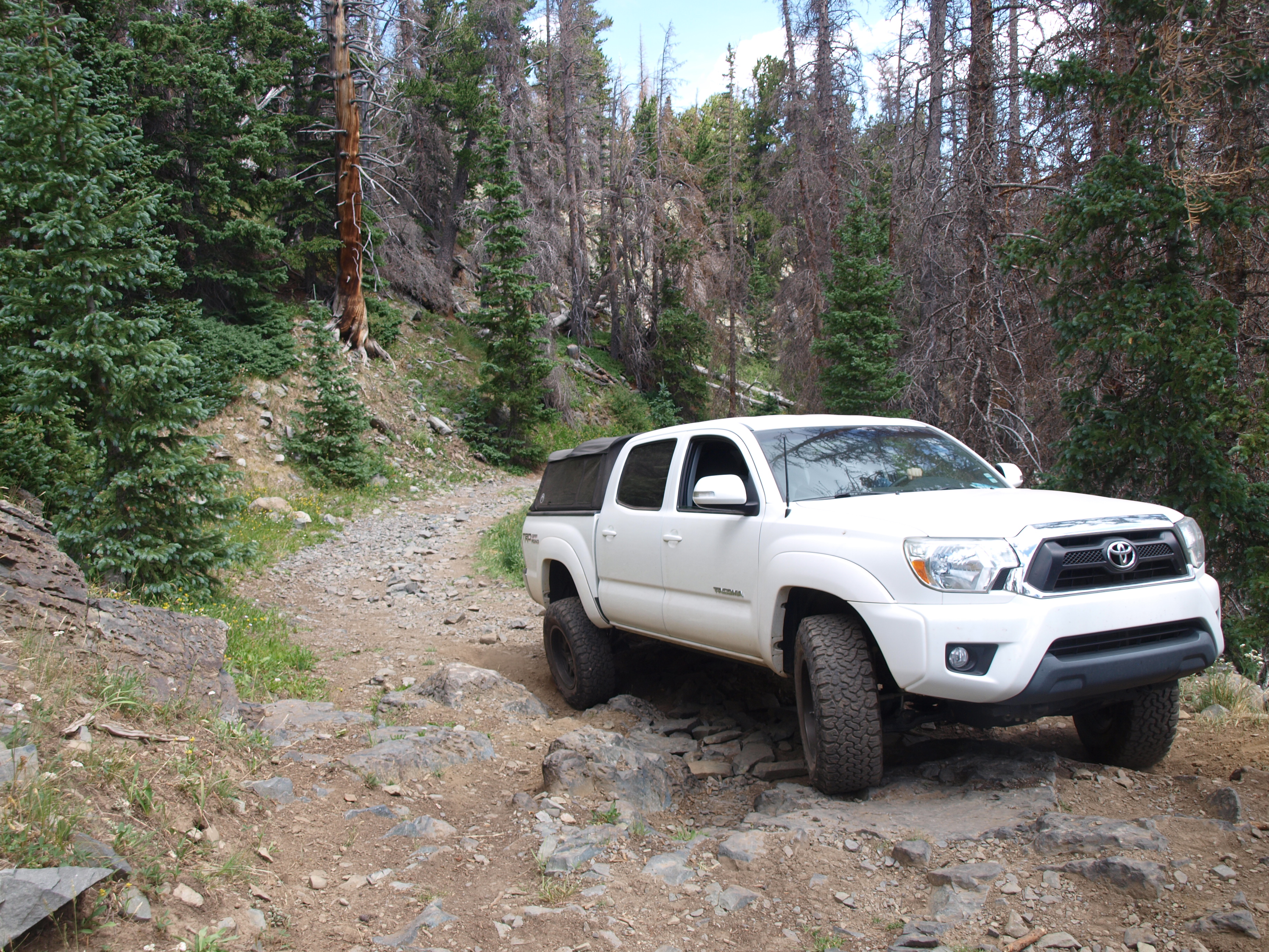 P1012540
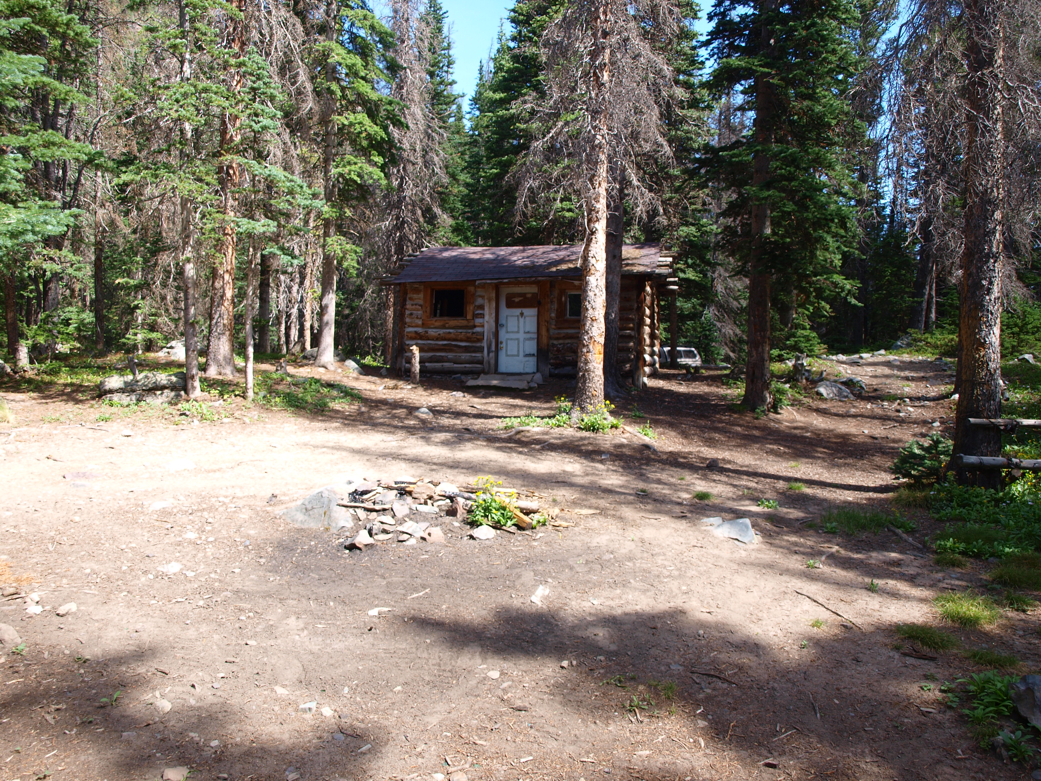 P1012523
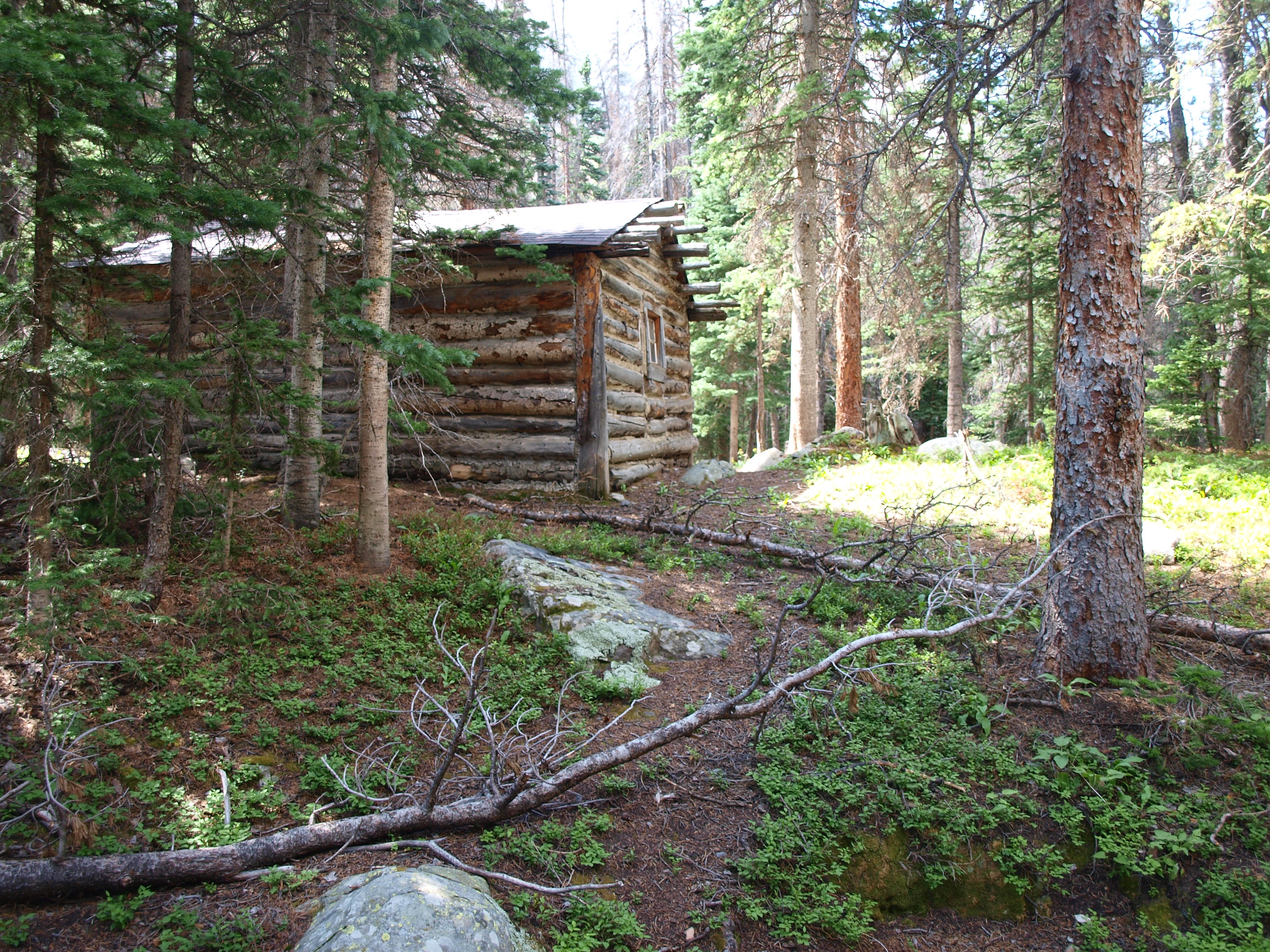 P1012524
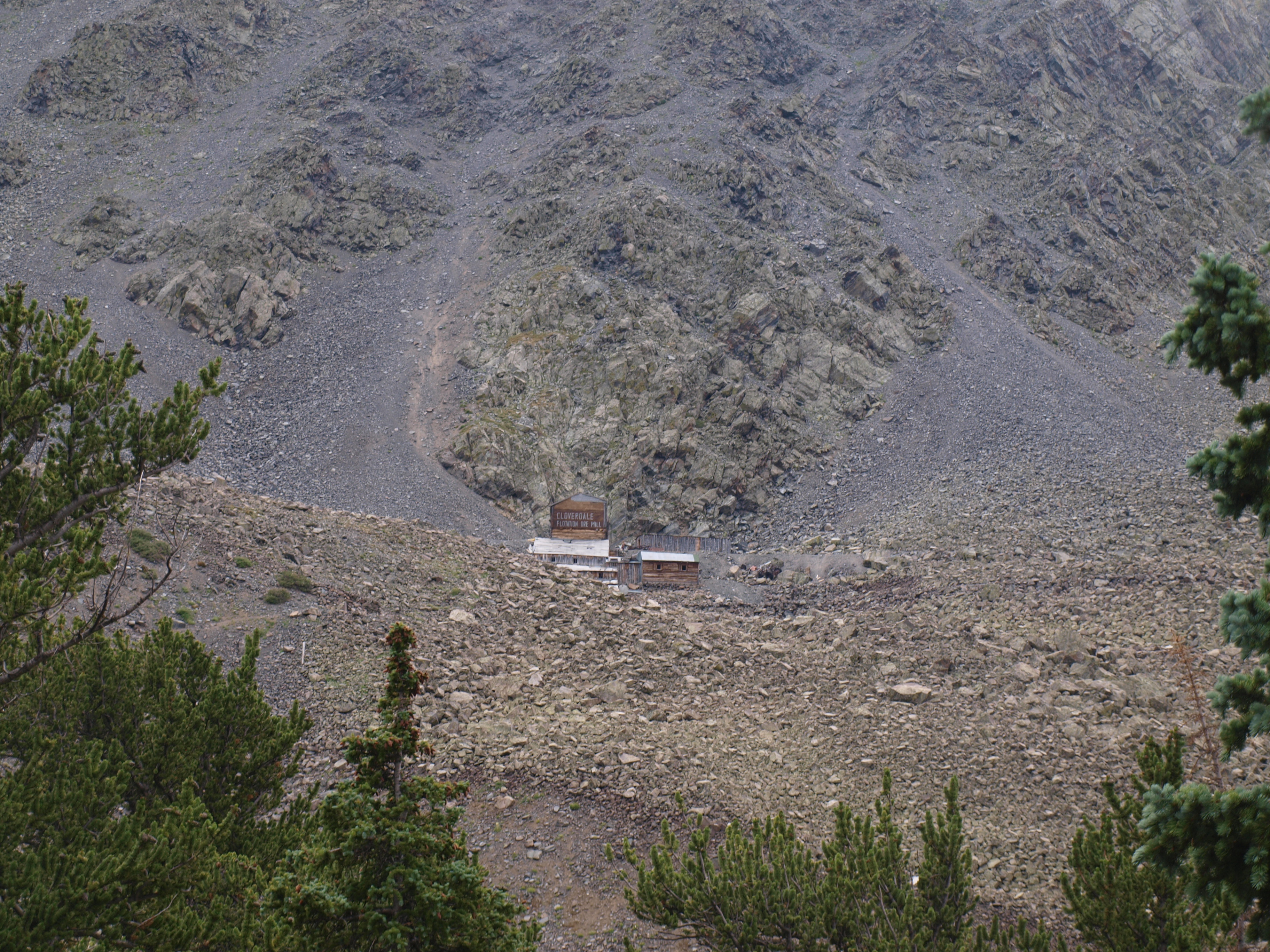 P1012543
 P1012545
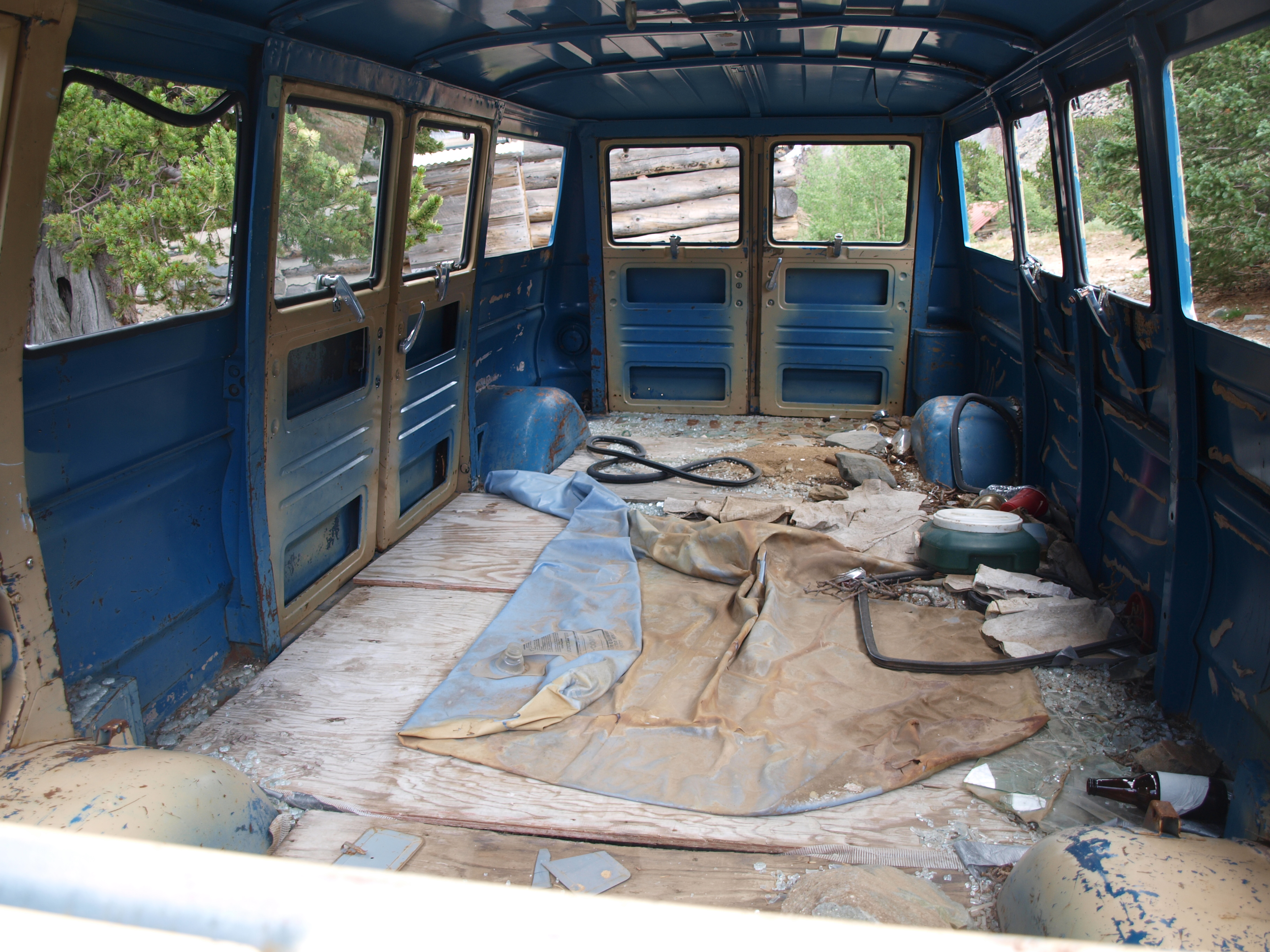 P1012546
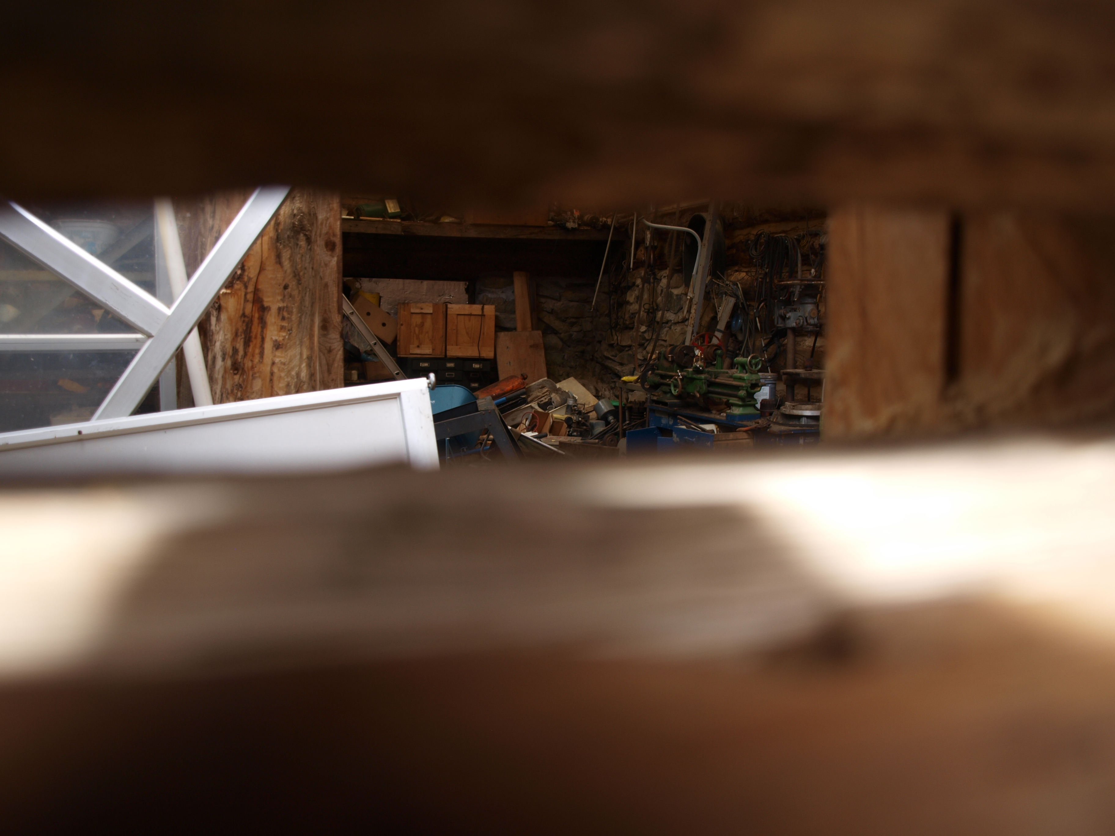 P1012547
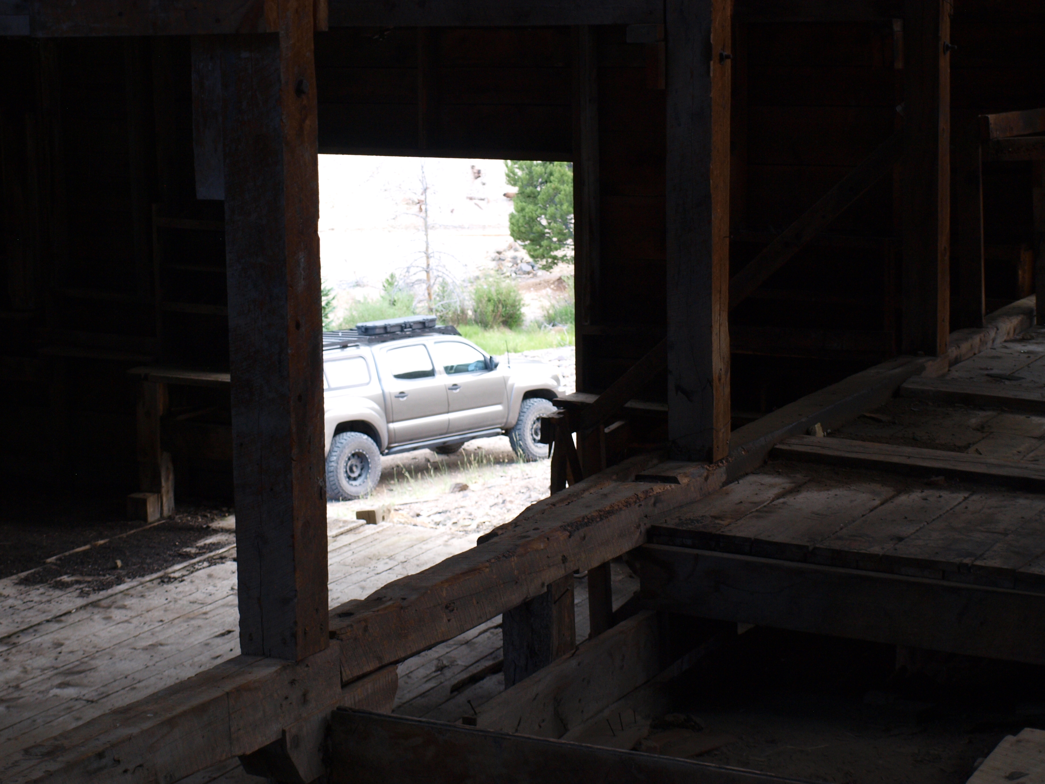 P1012549
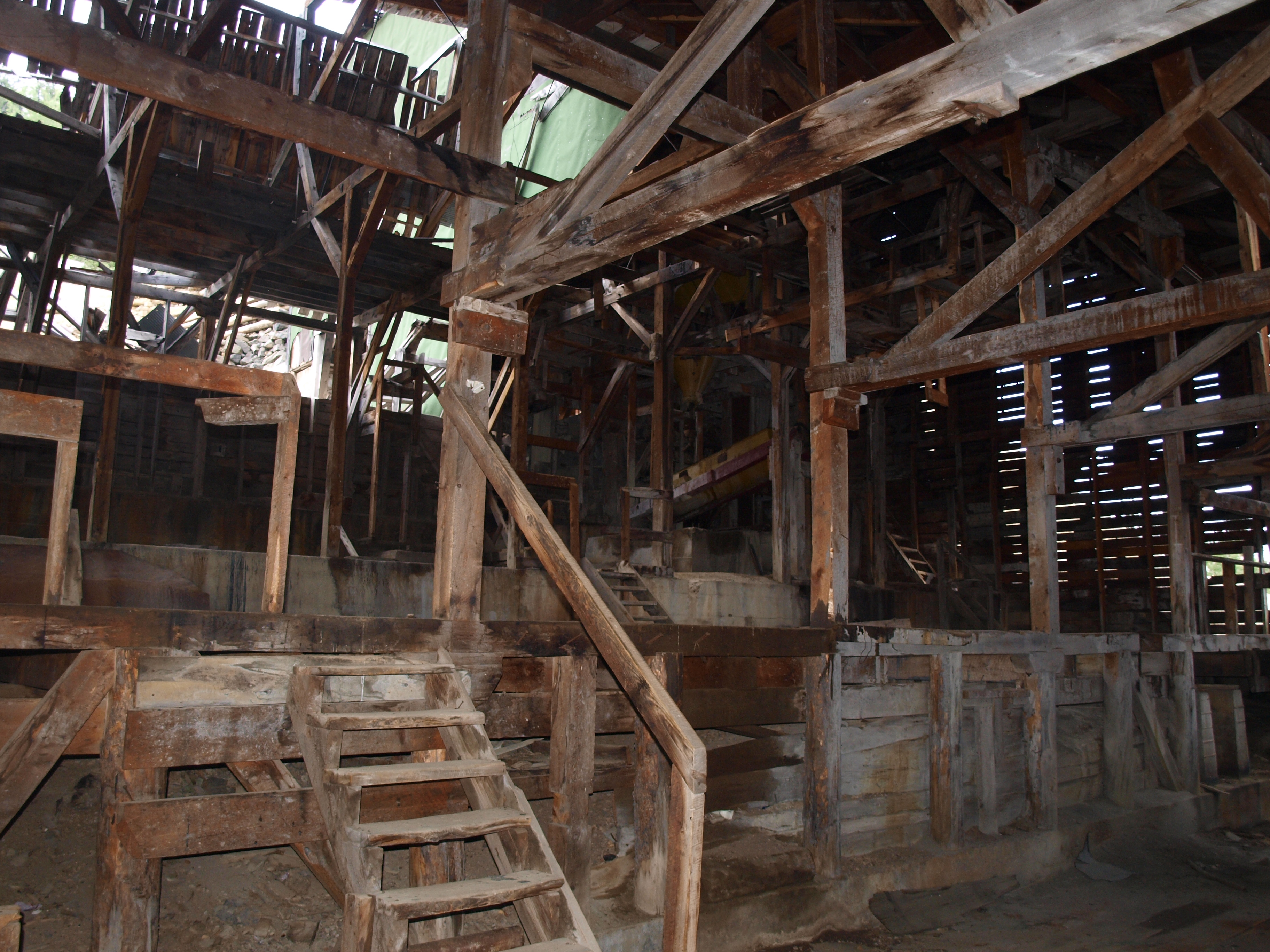 P1012548
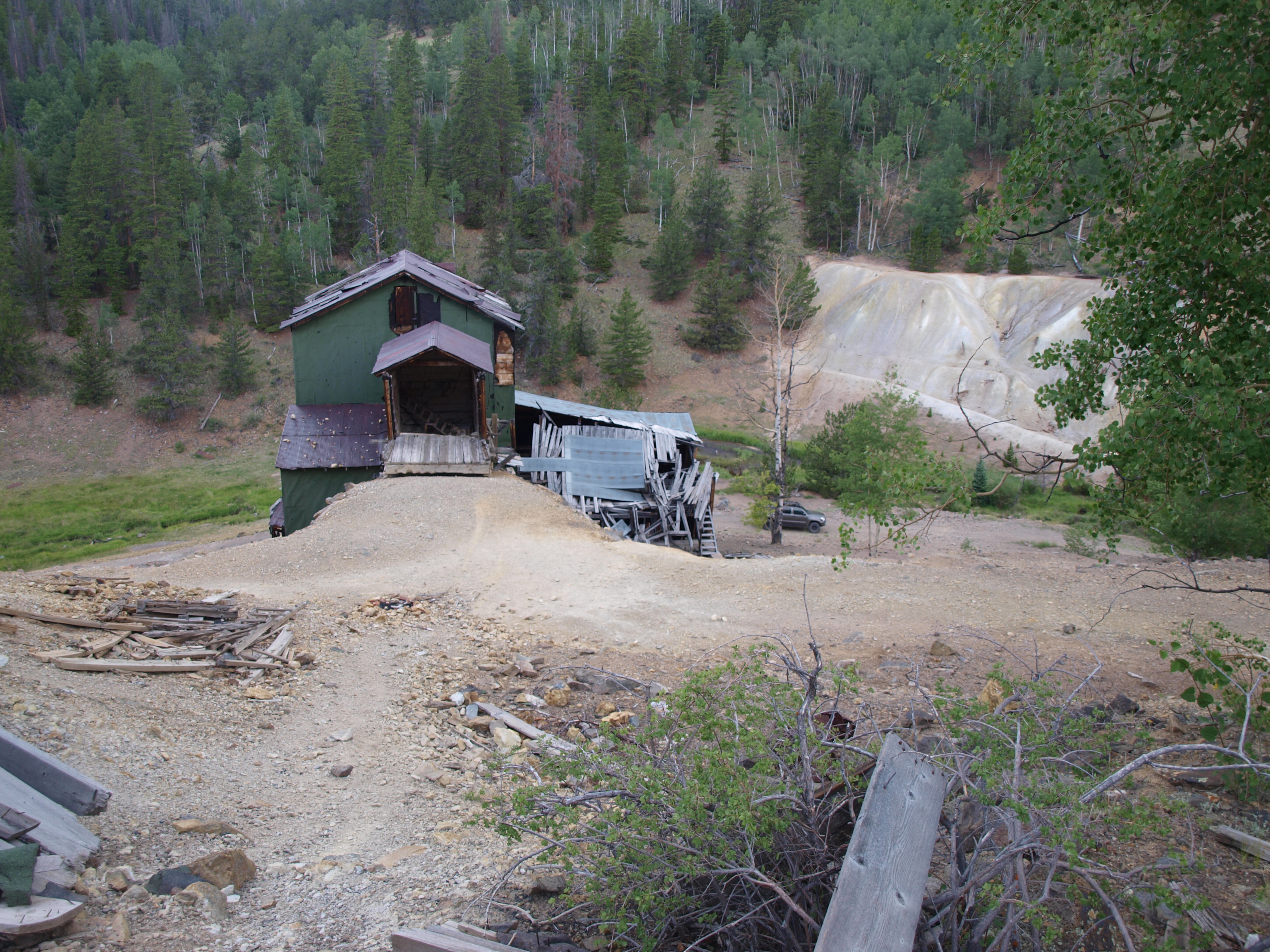 P1012550
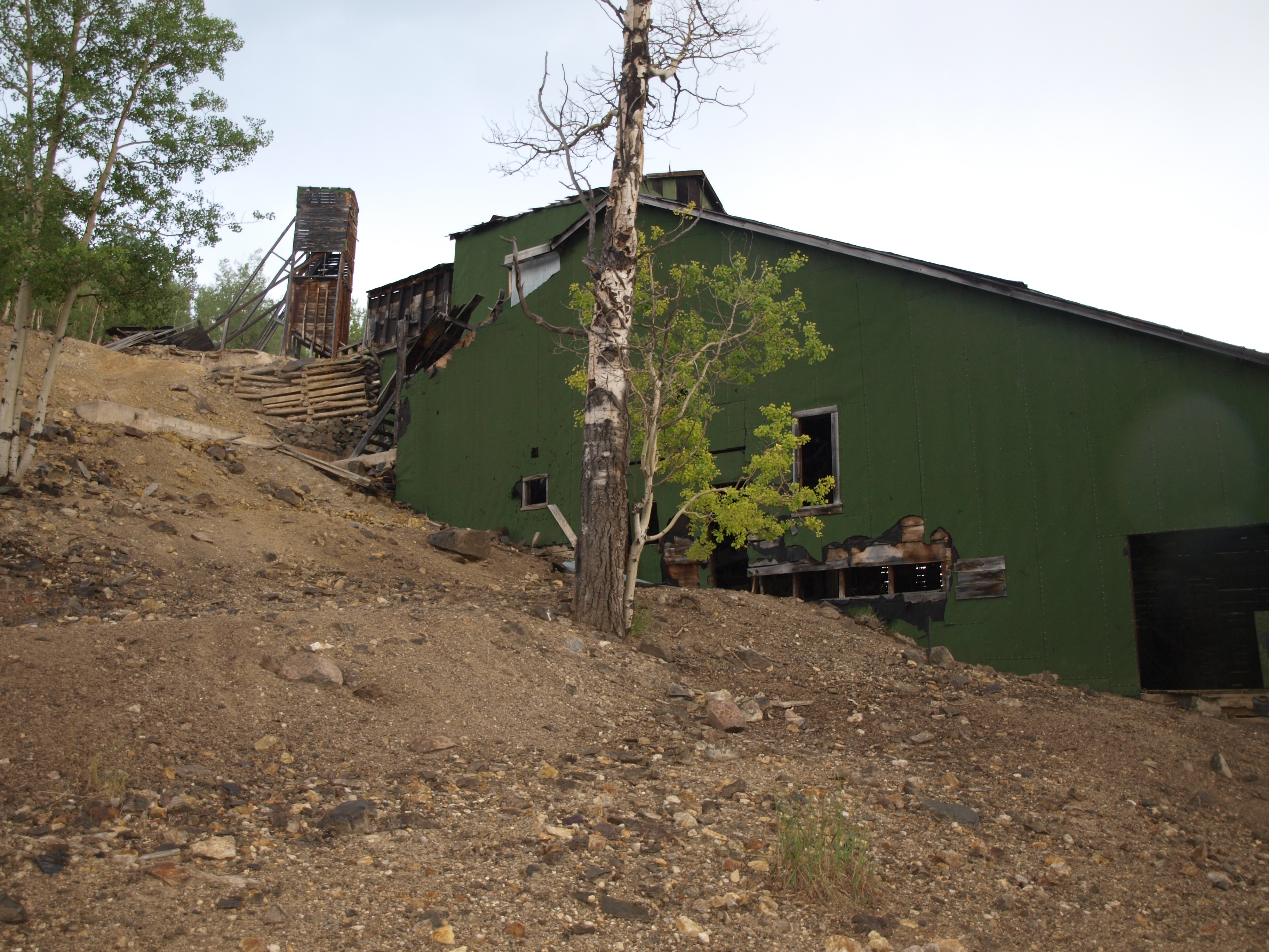 P1012561
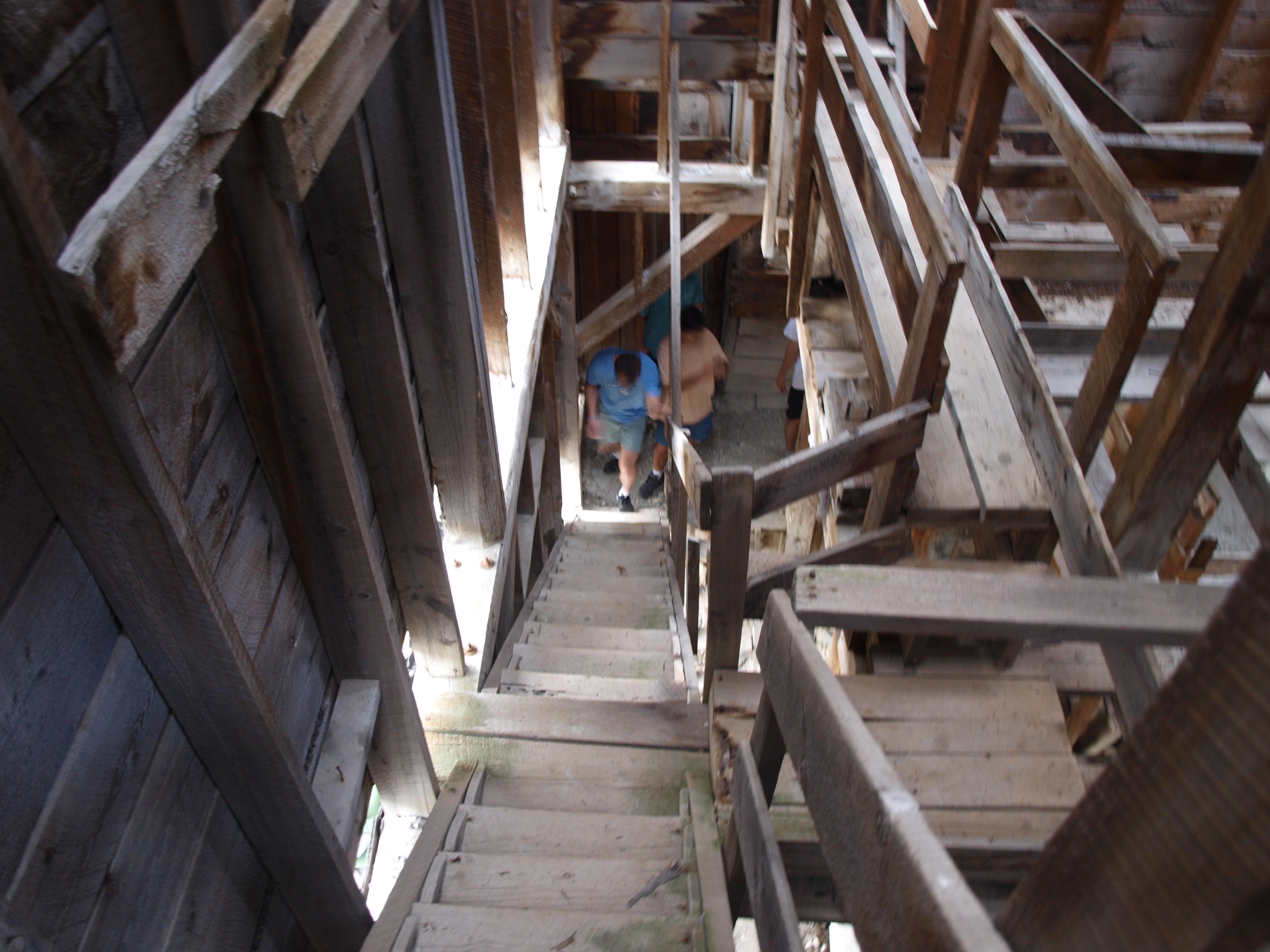 P1012555
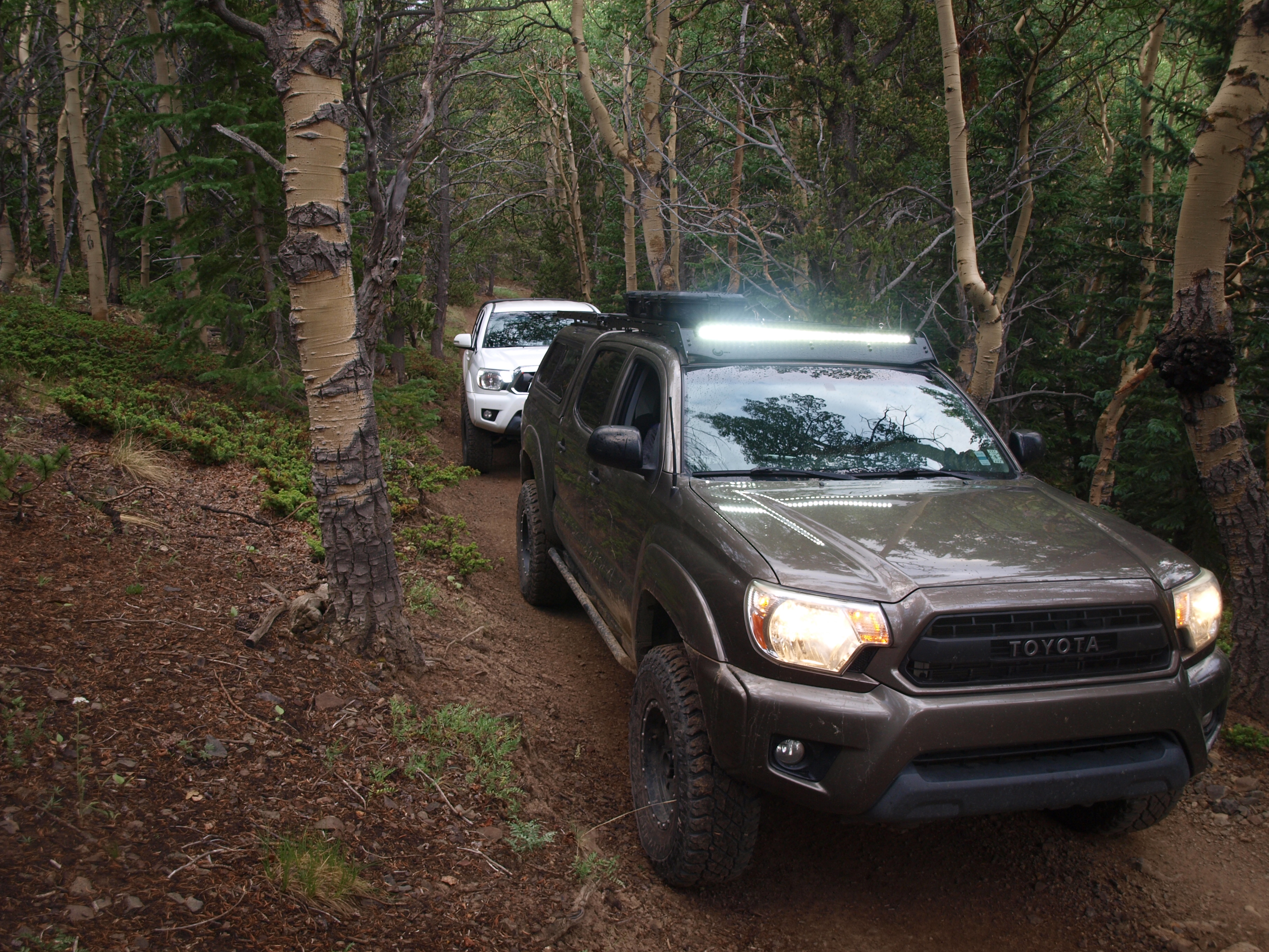 P1012563
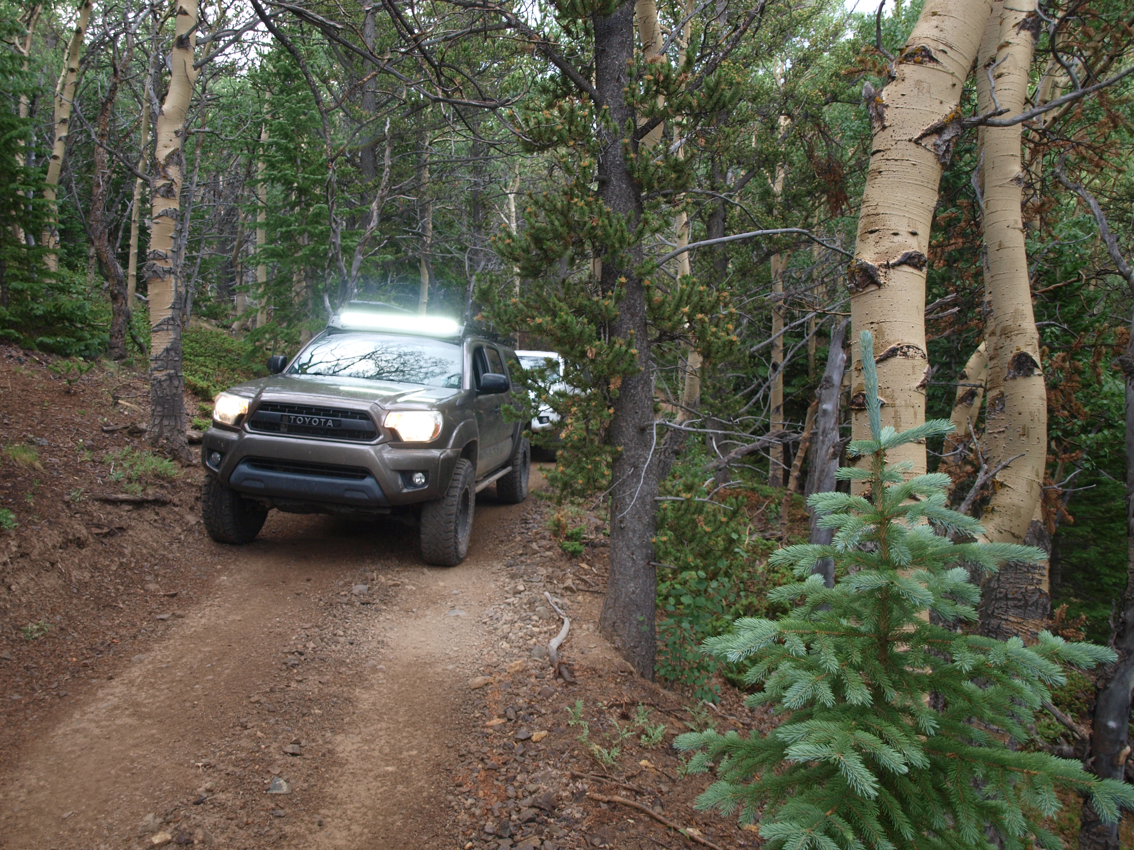 P1012564
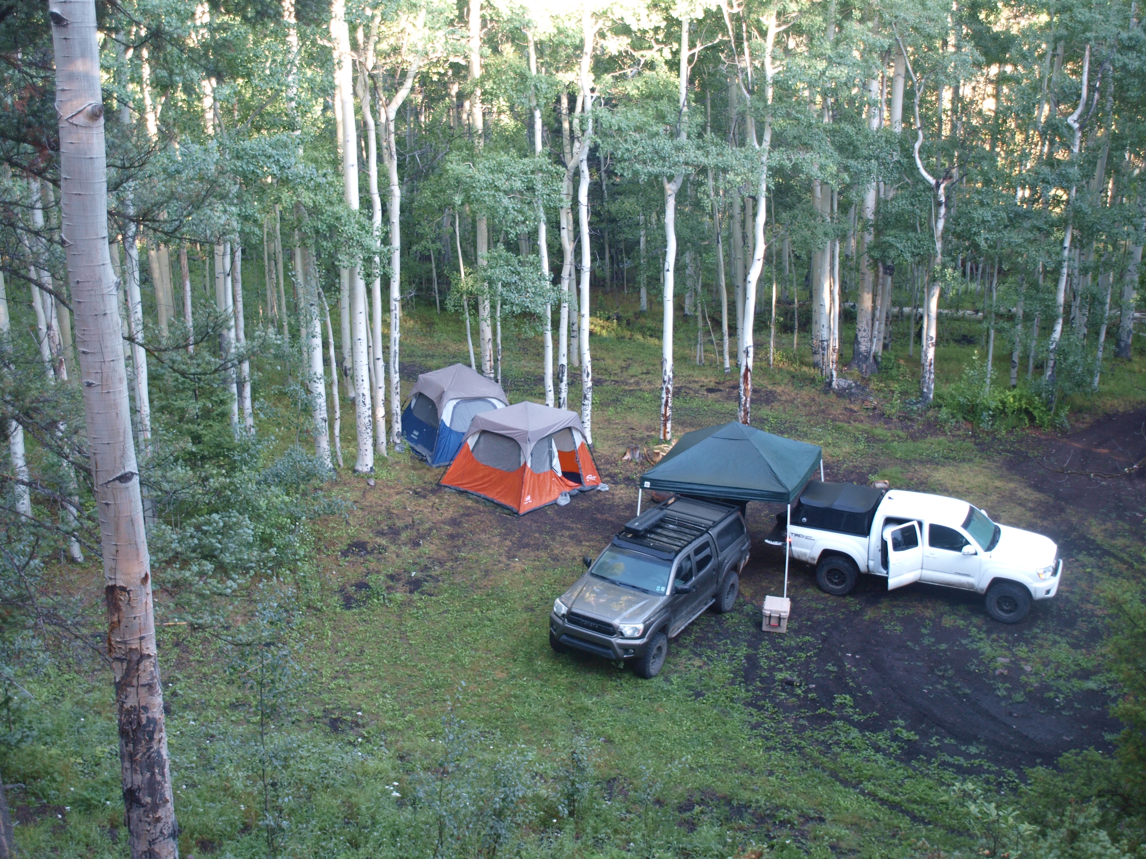 P1012565
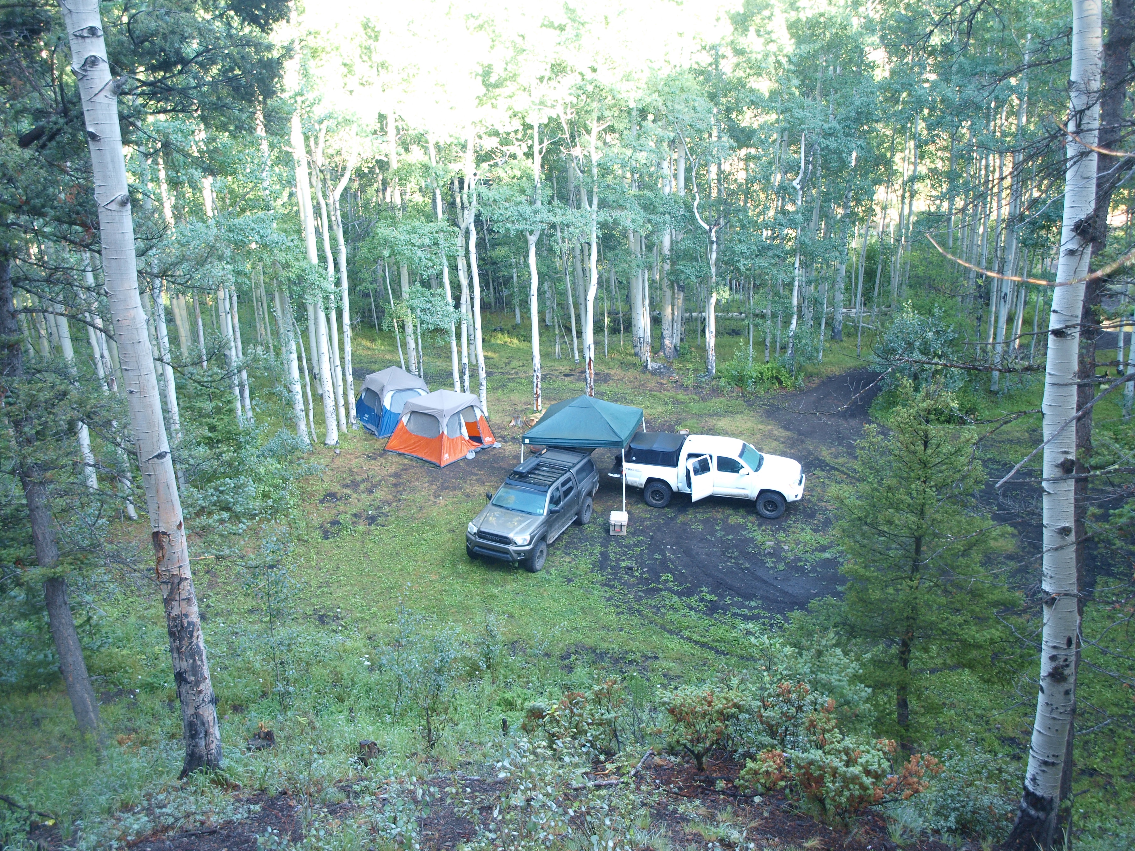 P1012569
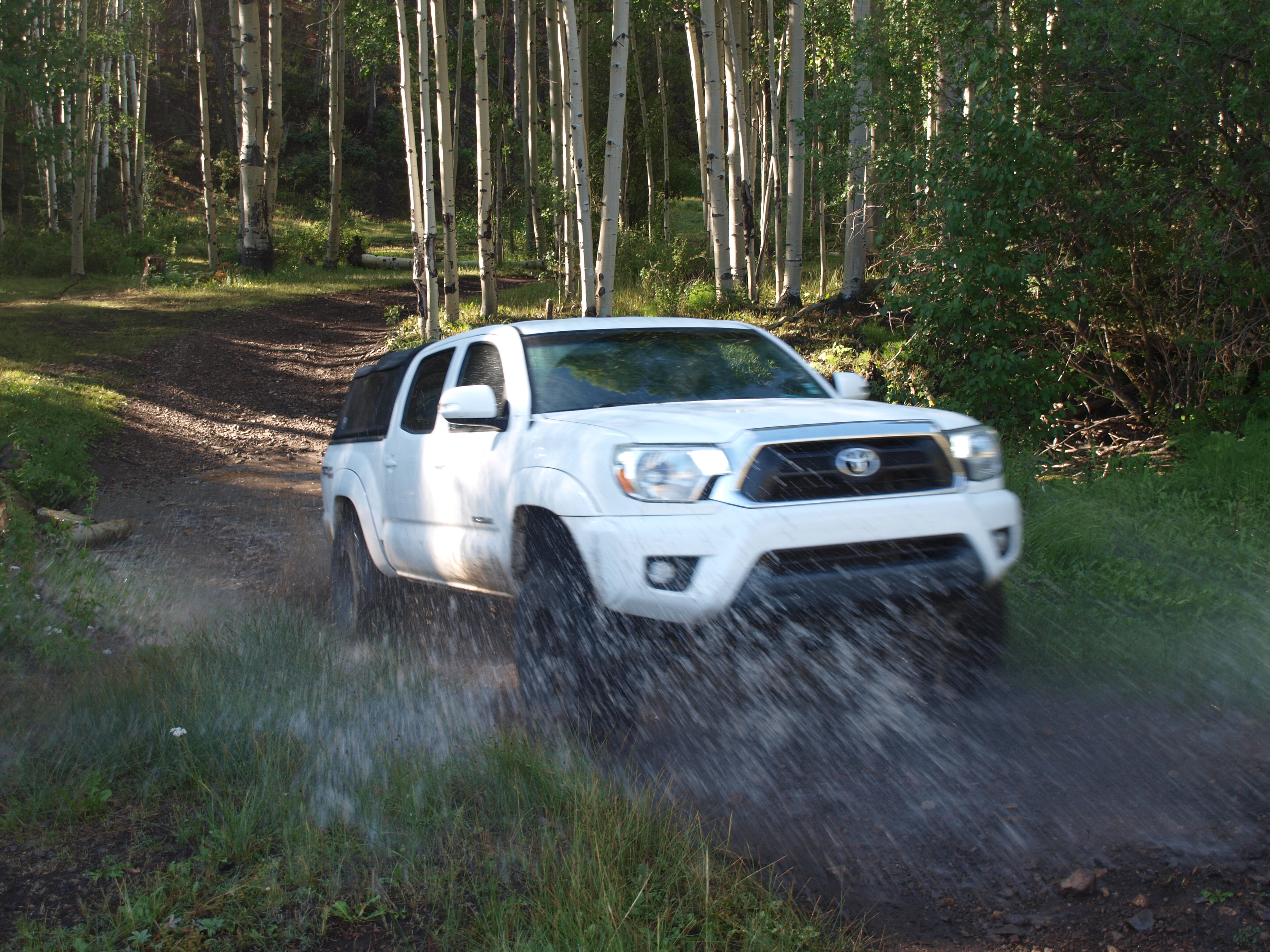 P1012572
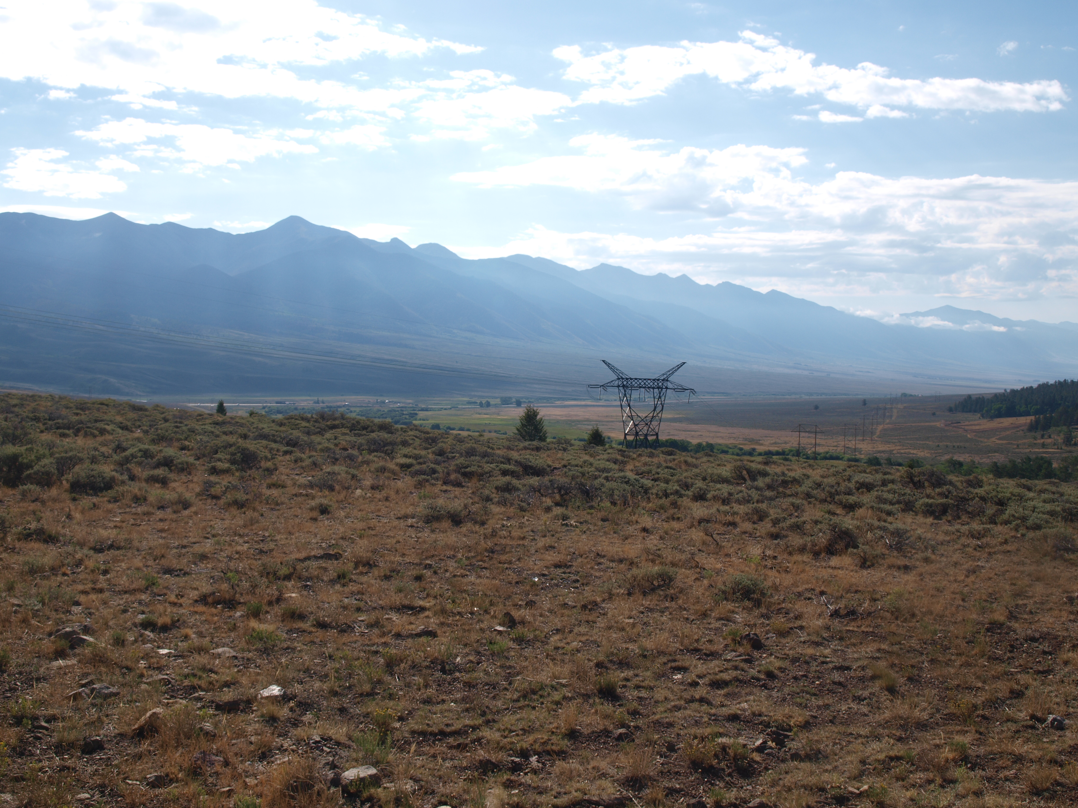 P1012573
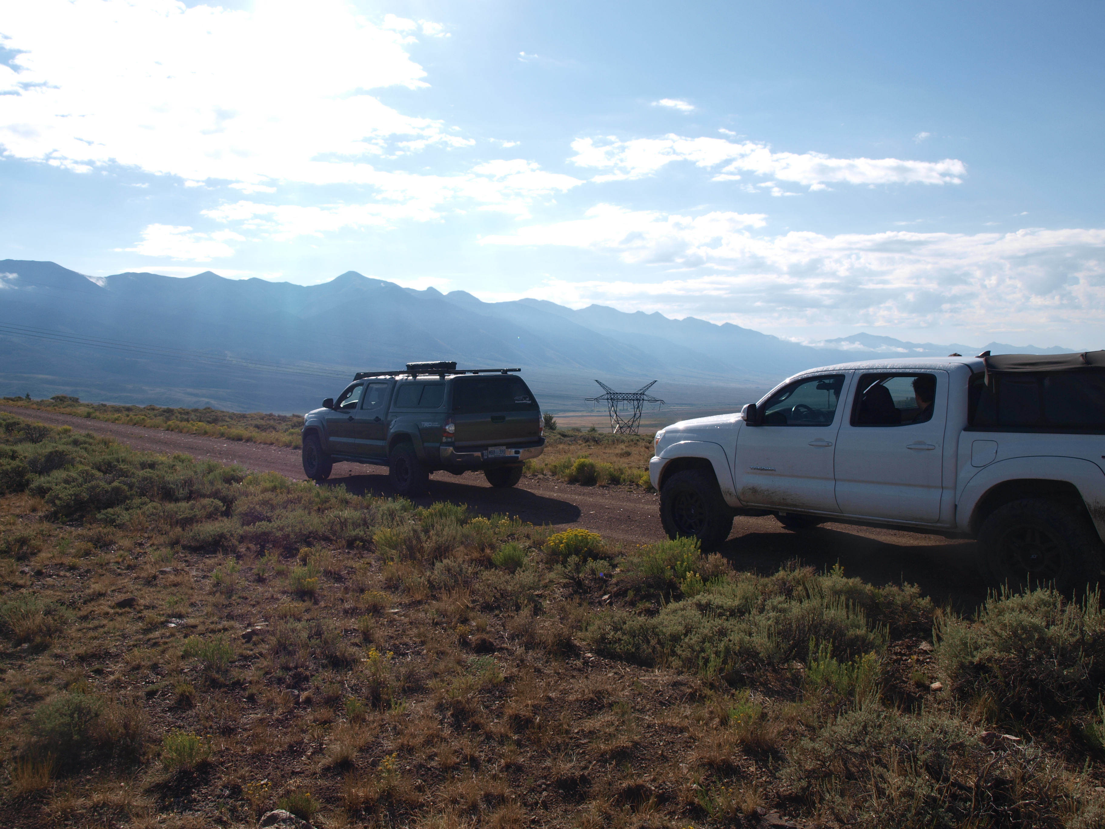 P1012576
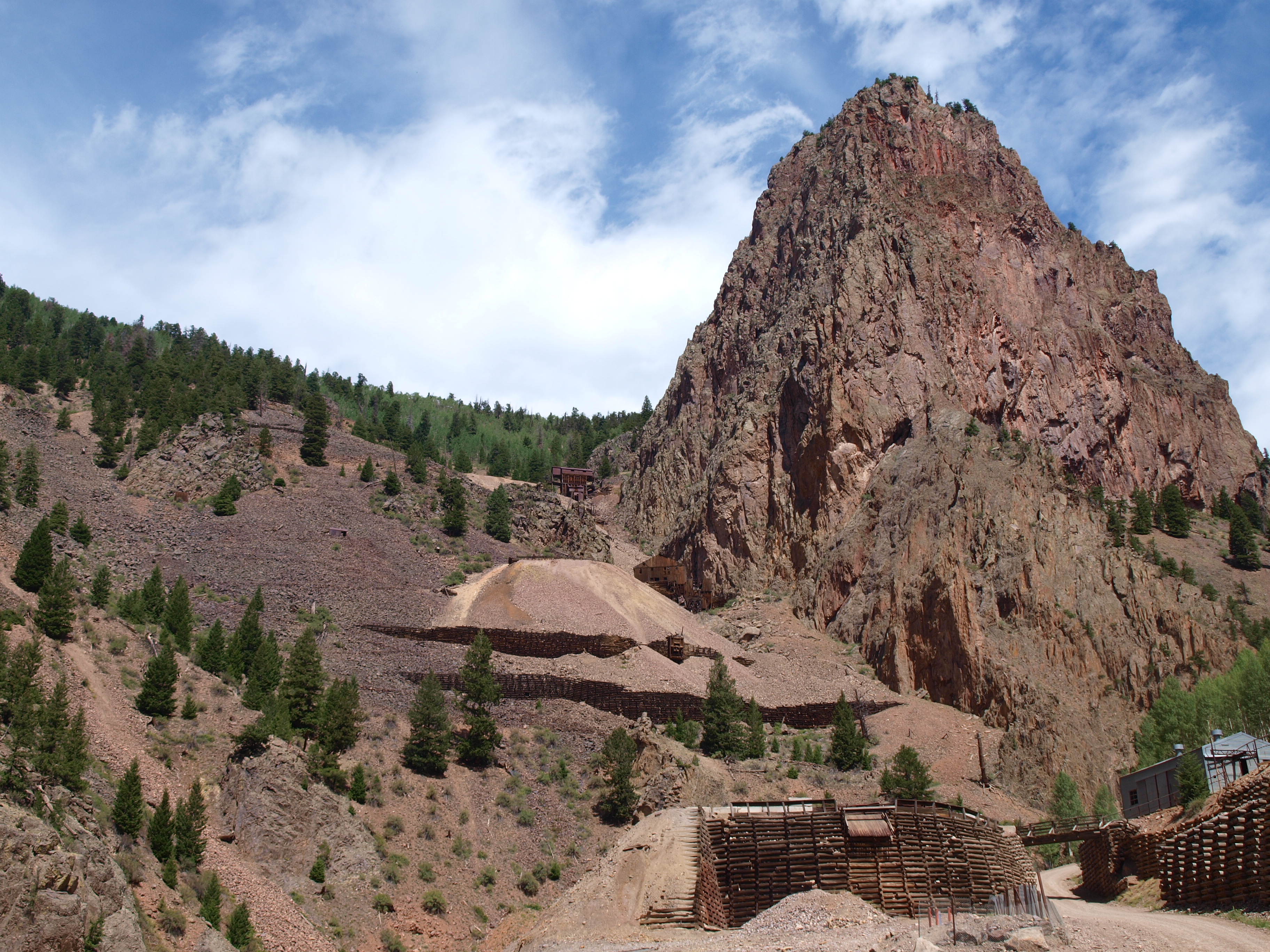 P1012579
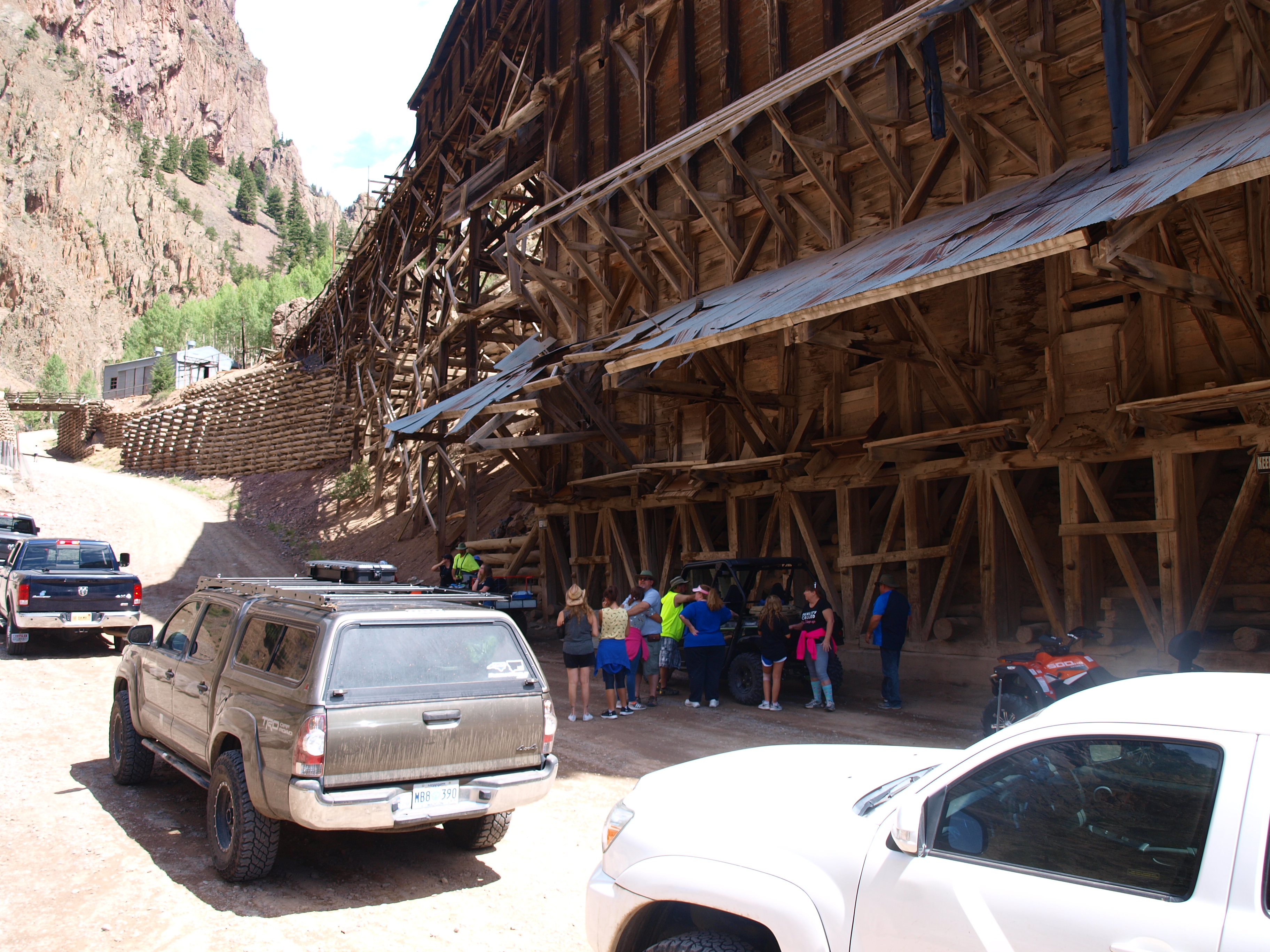 P1012578
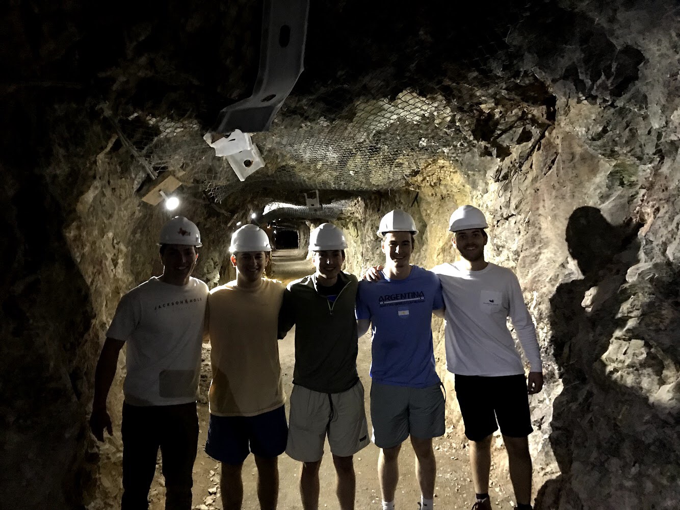 IMG_3998
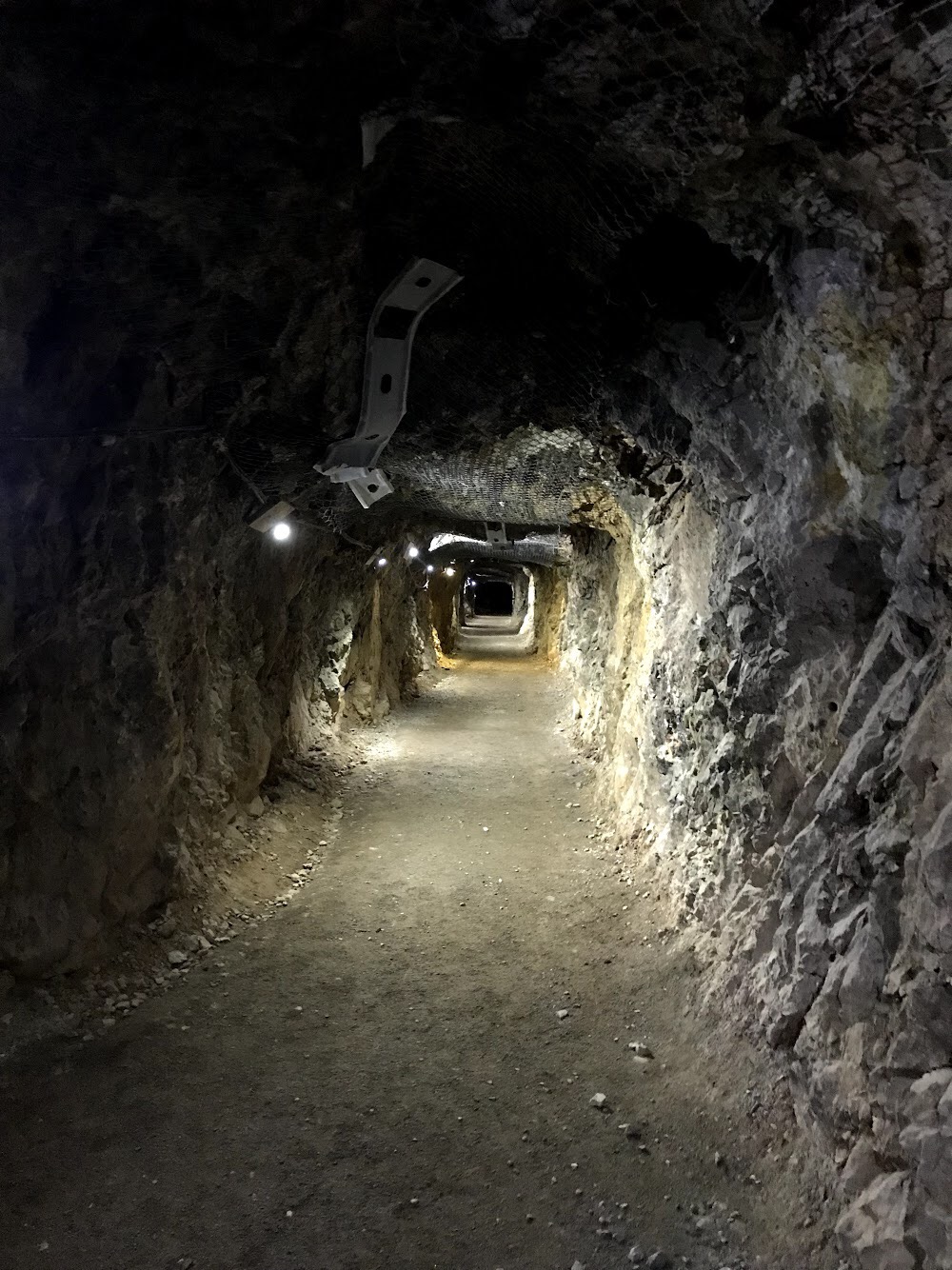 IMG_3997
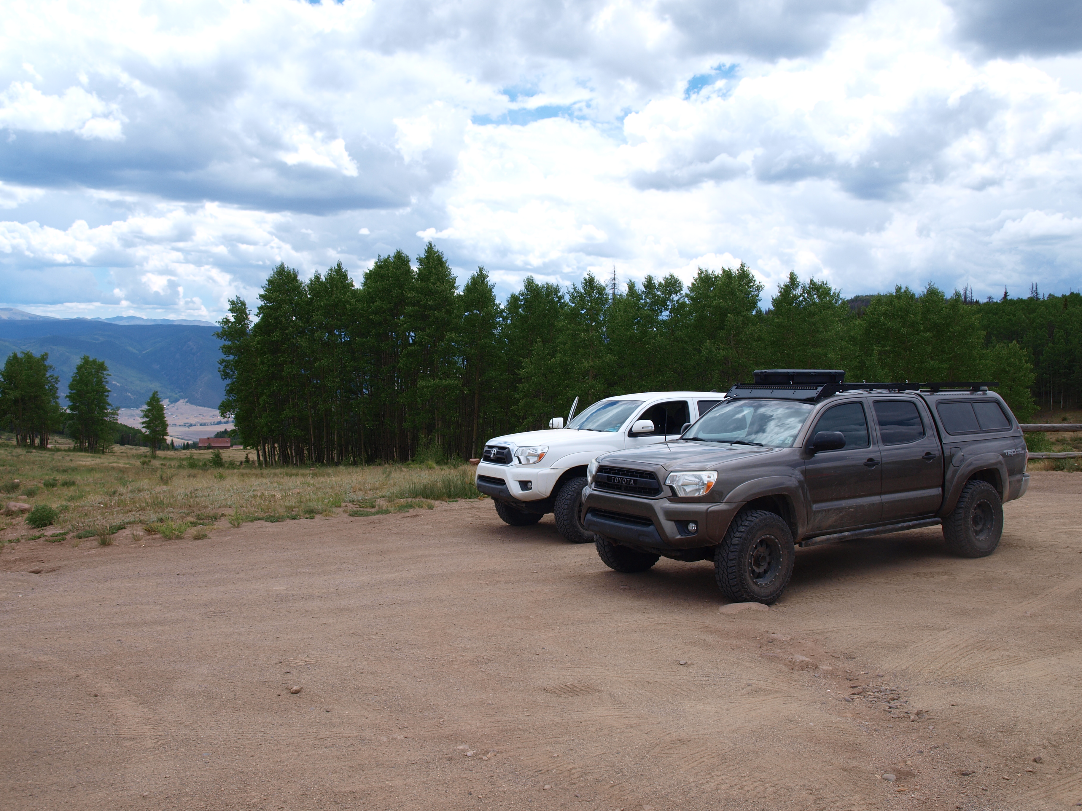 P1012582
 P1012584
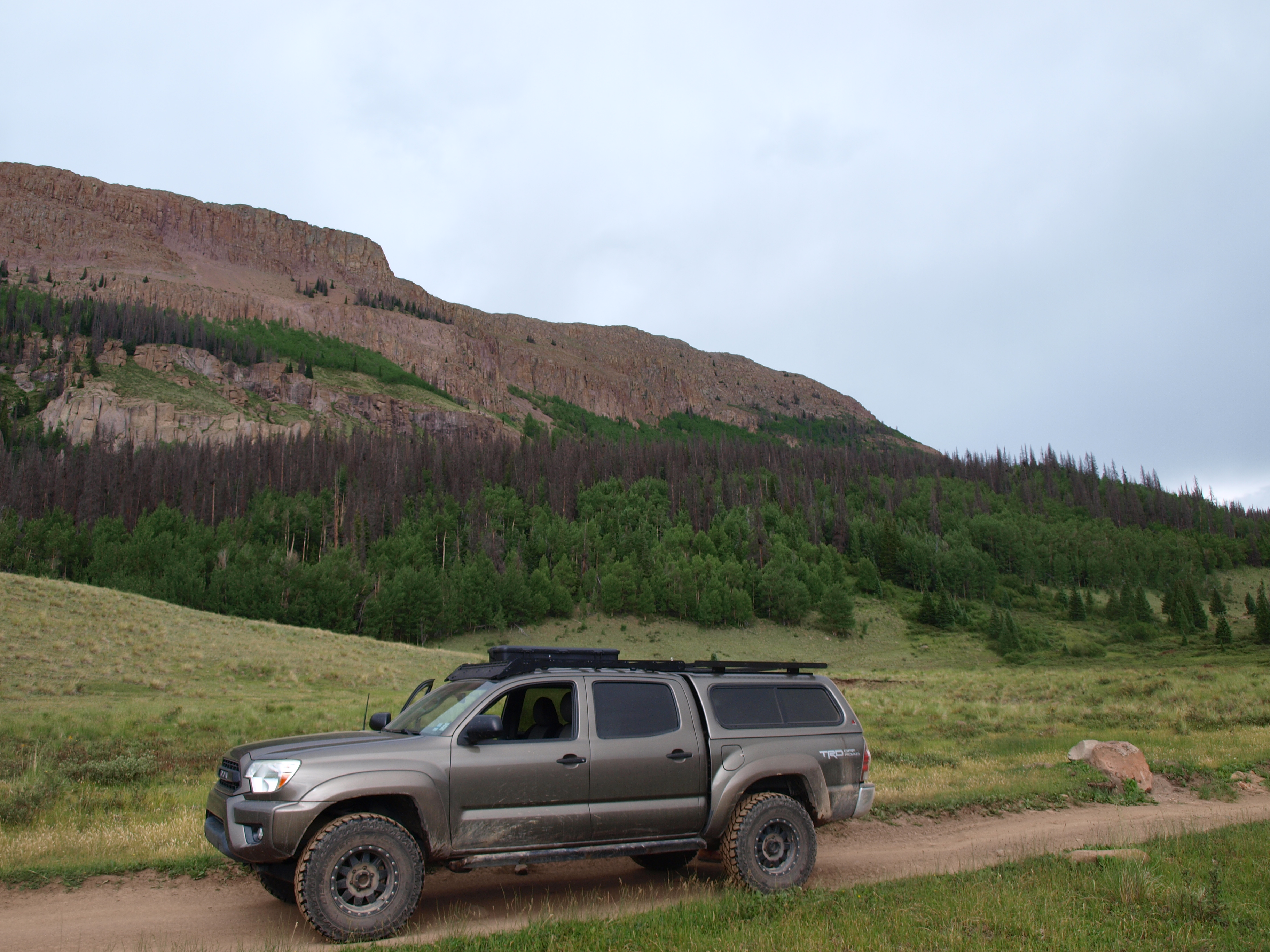 P1012585
 P1012587
 P1012591
 P1012593
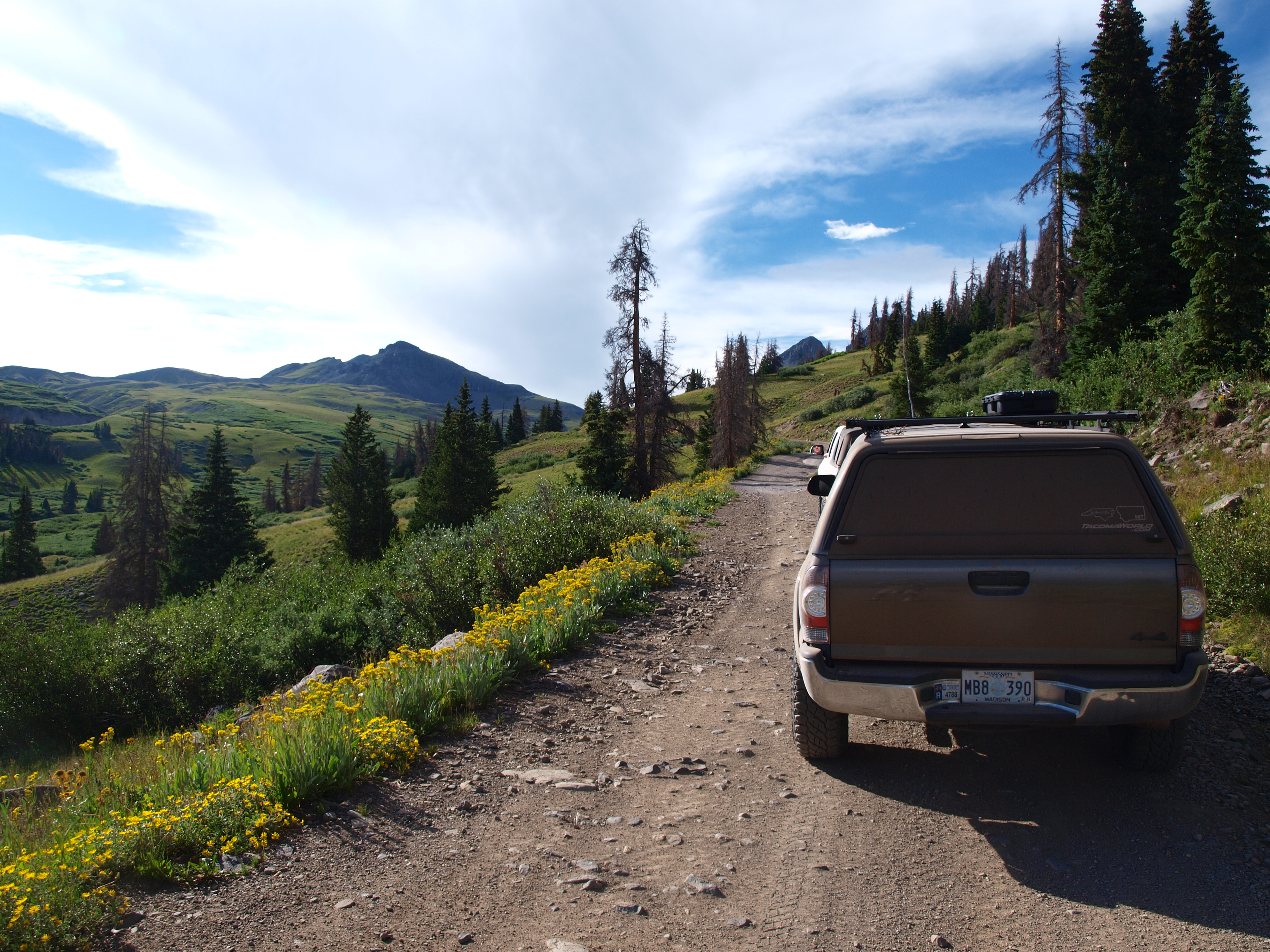 P1012592
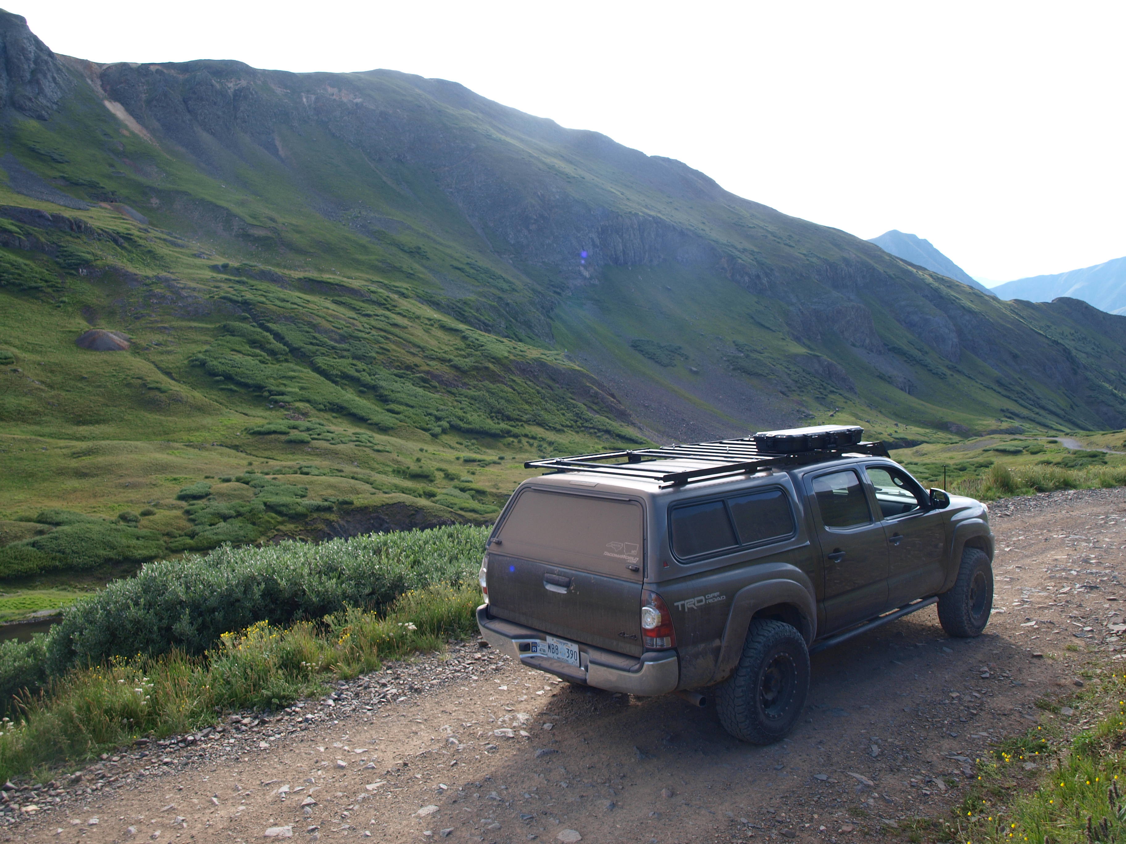 P1012603
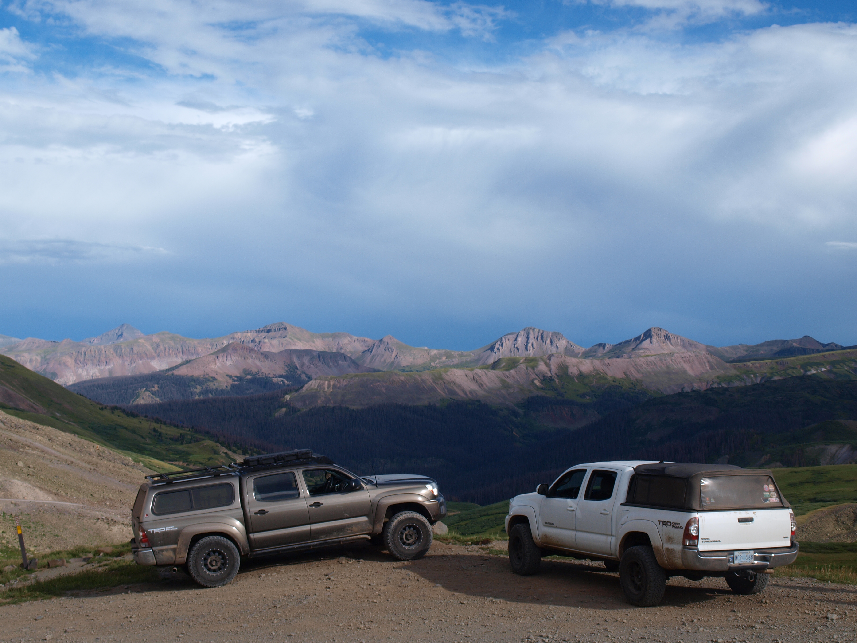 P1012595
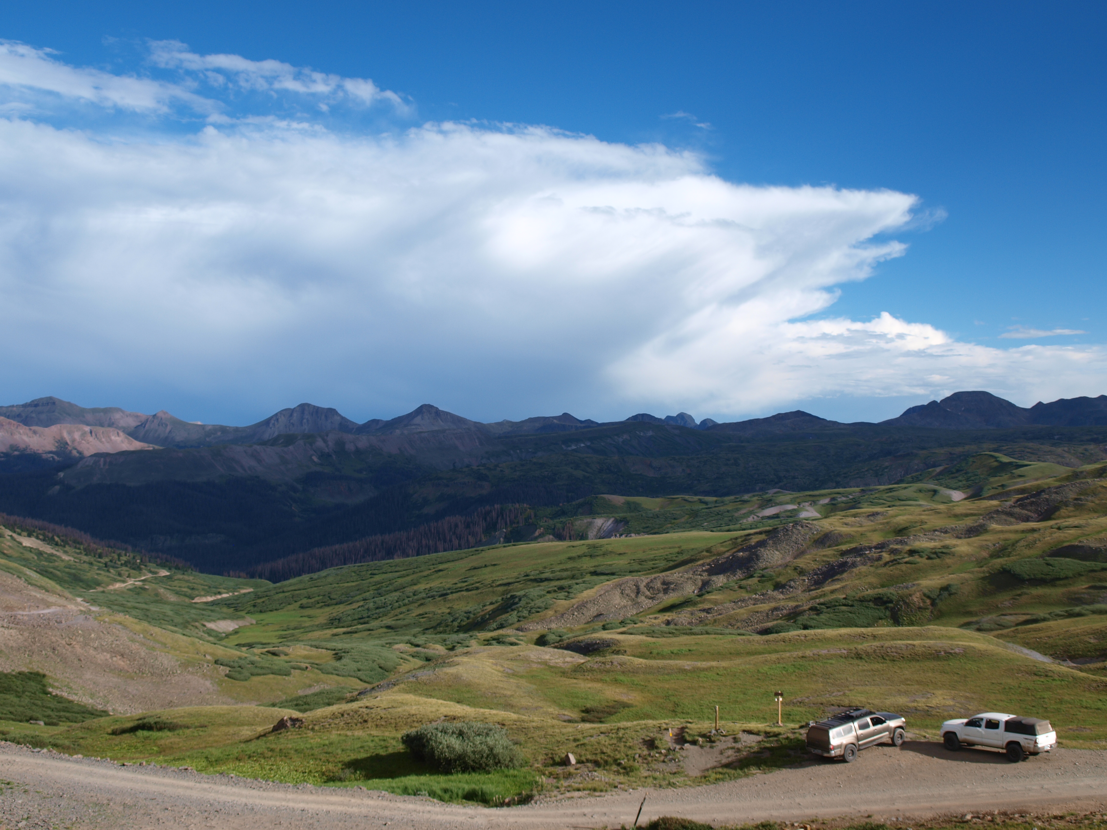 P1012598
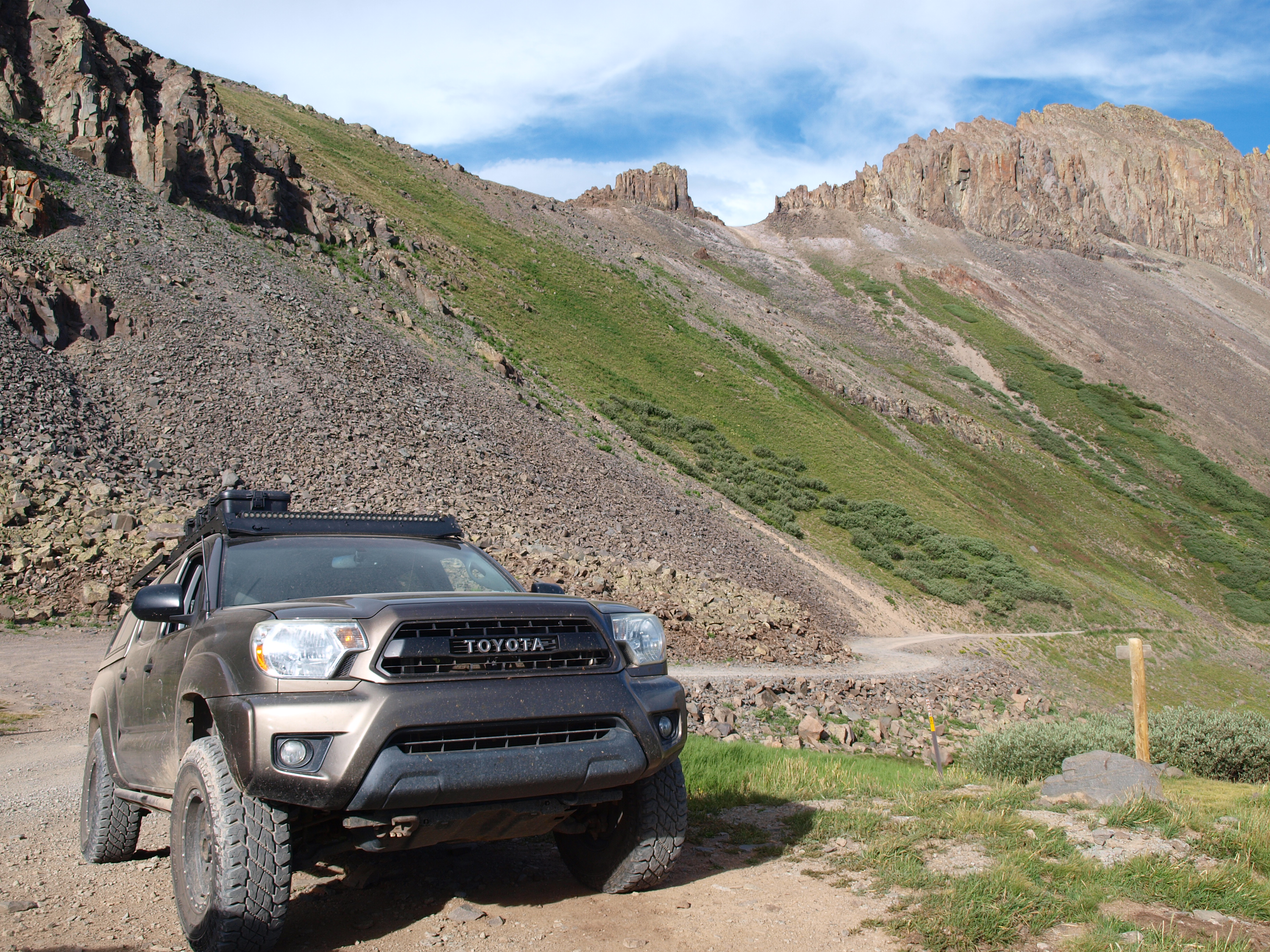 P1012600
 P1012605

 P1012608
 P1012610
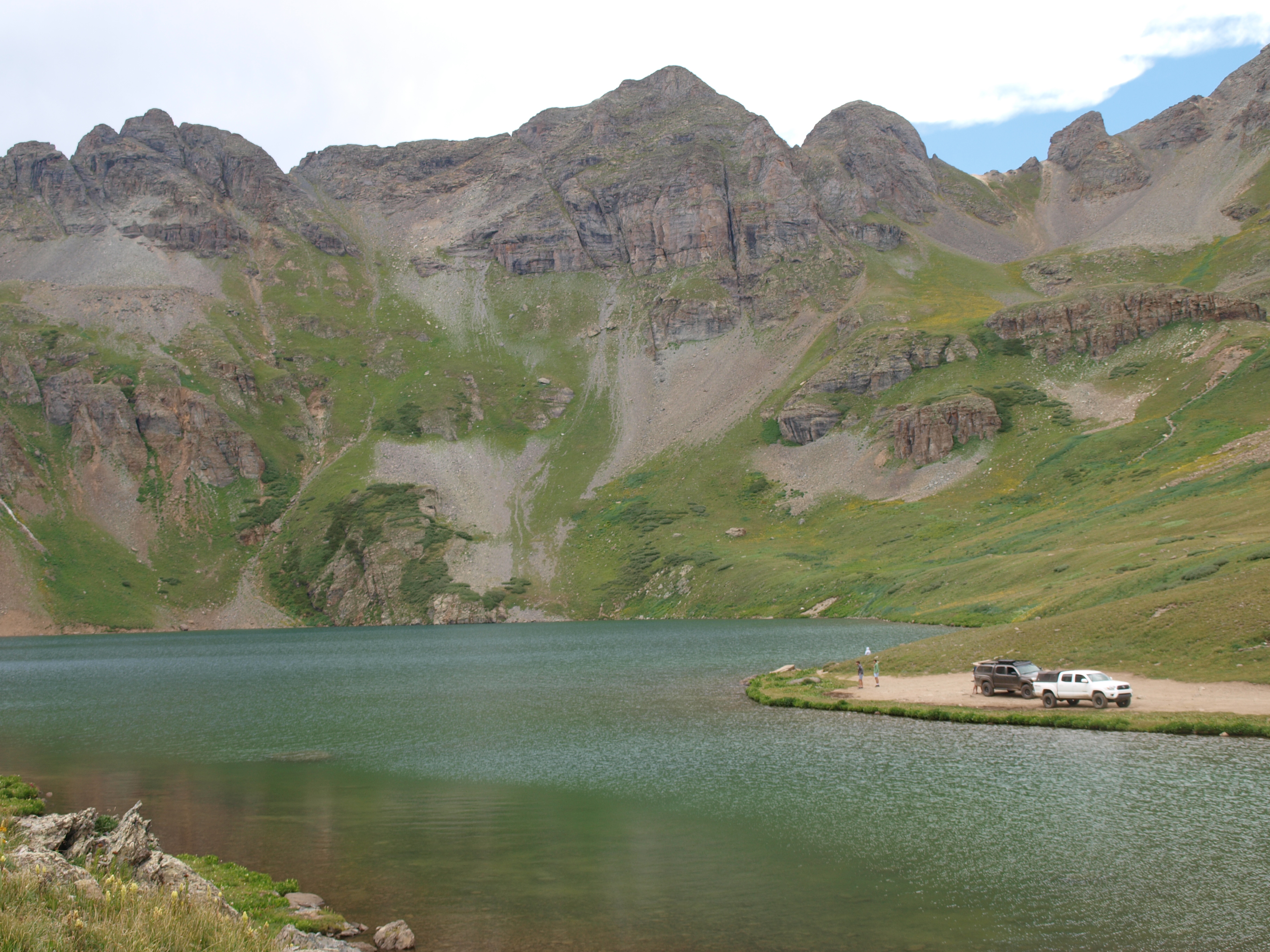 P1012615
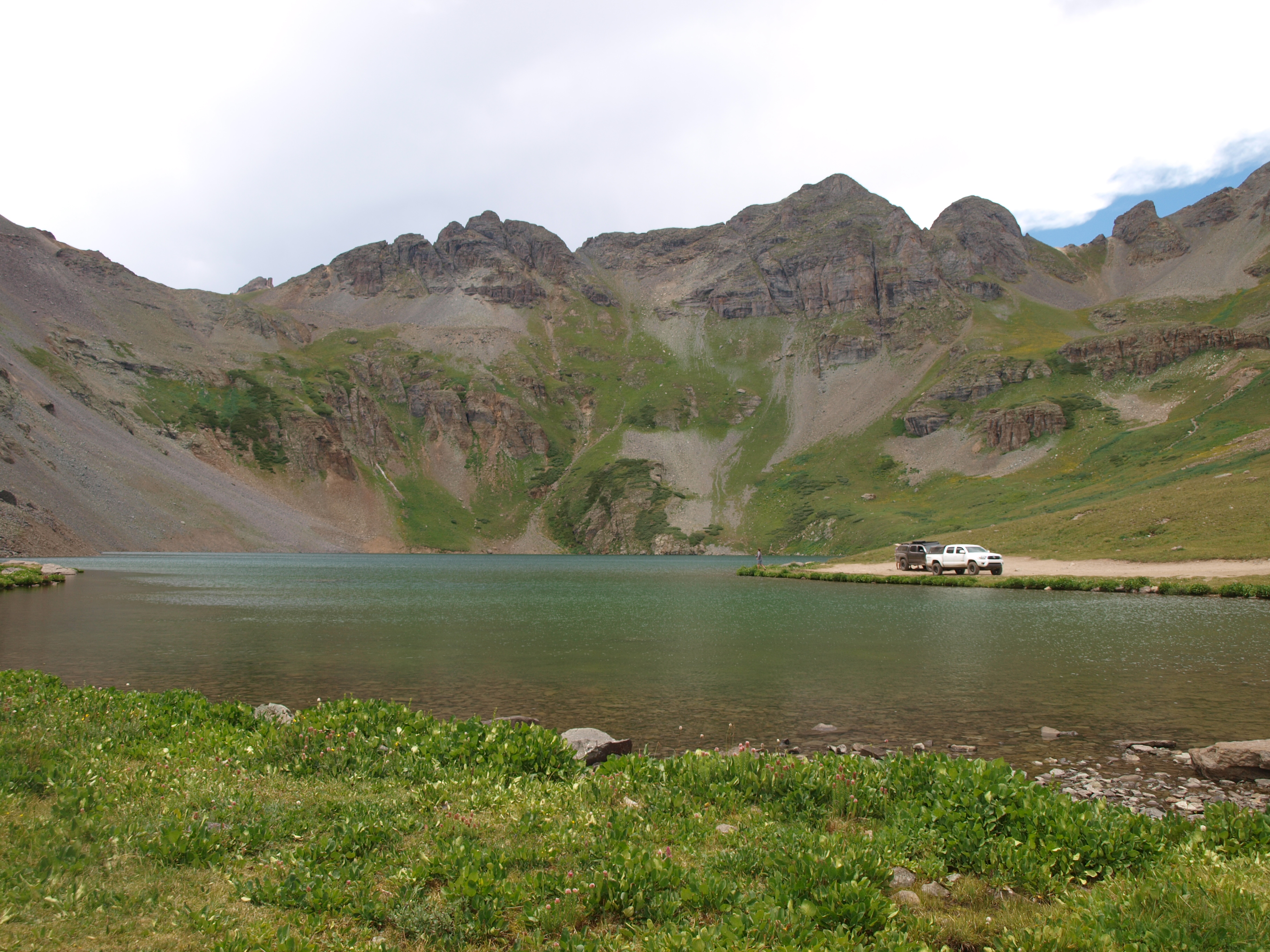 P1012611
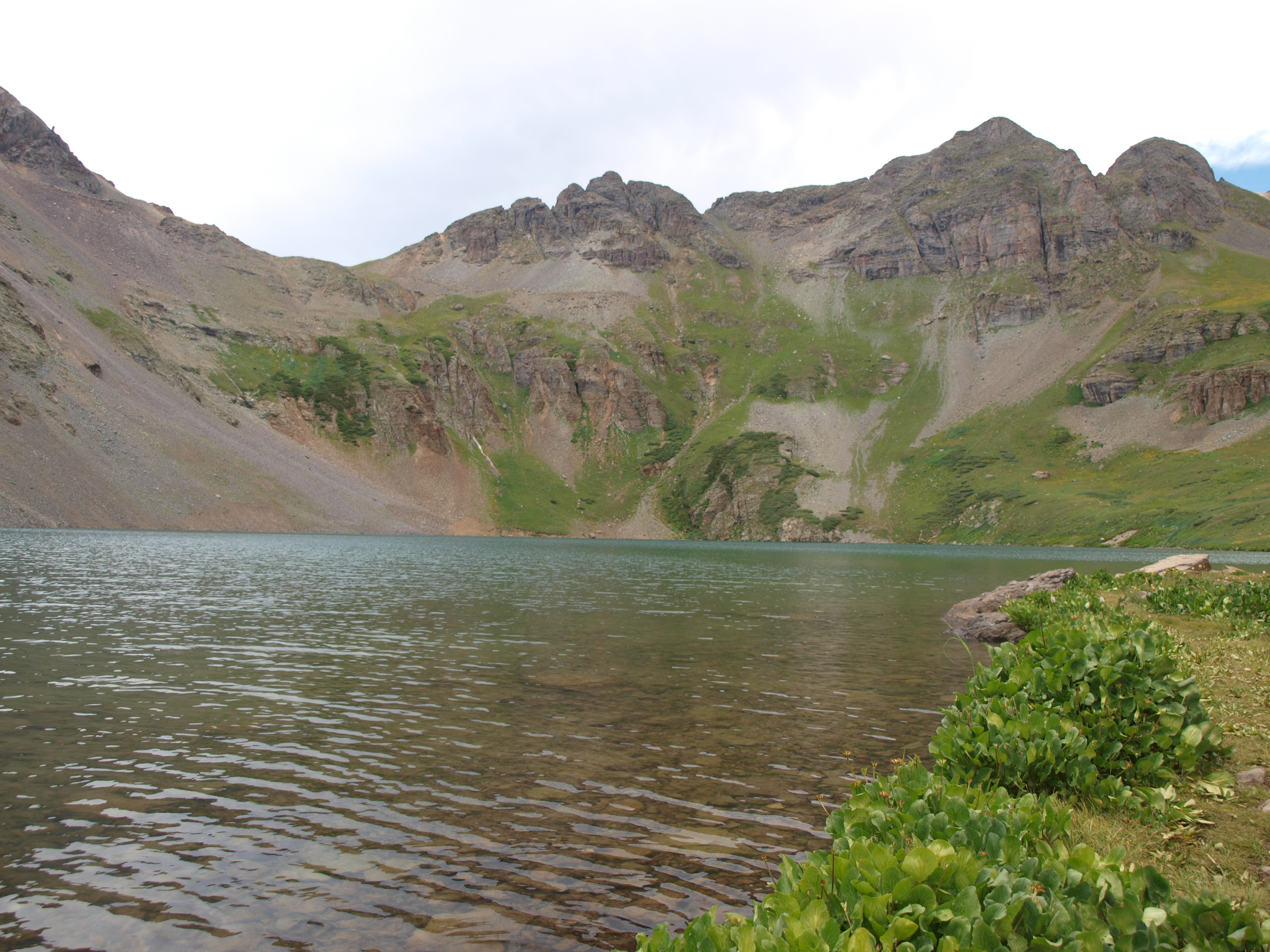 P1012619
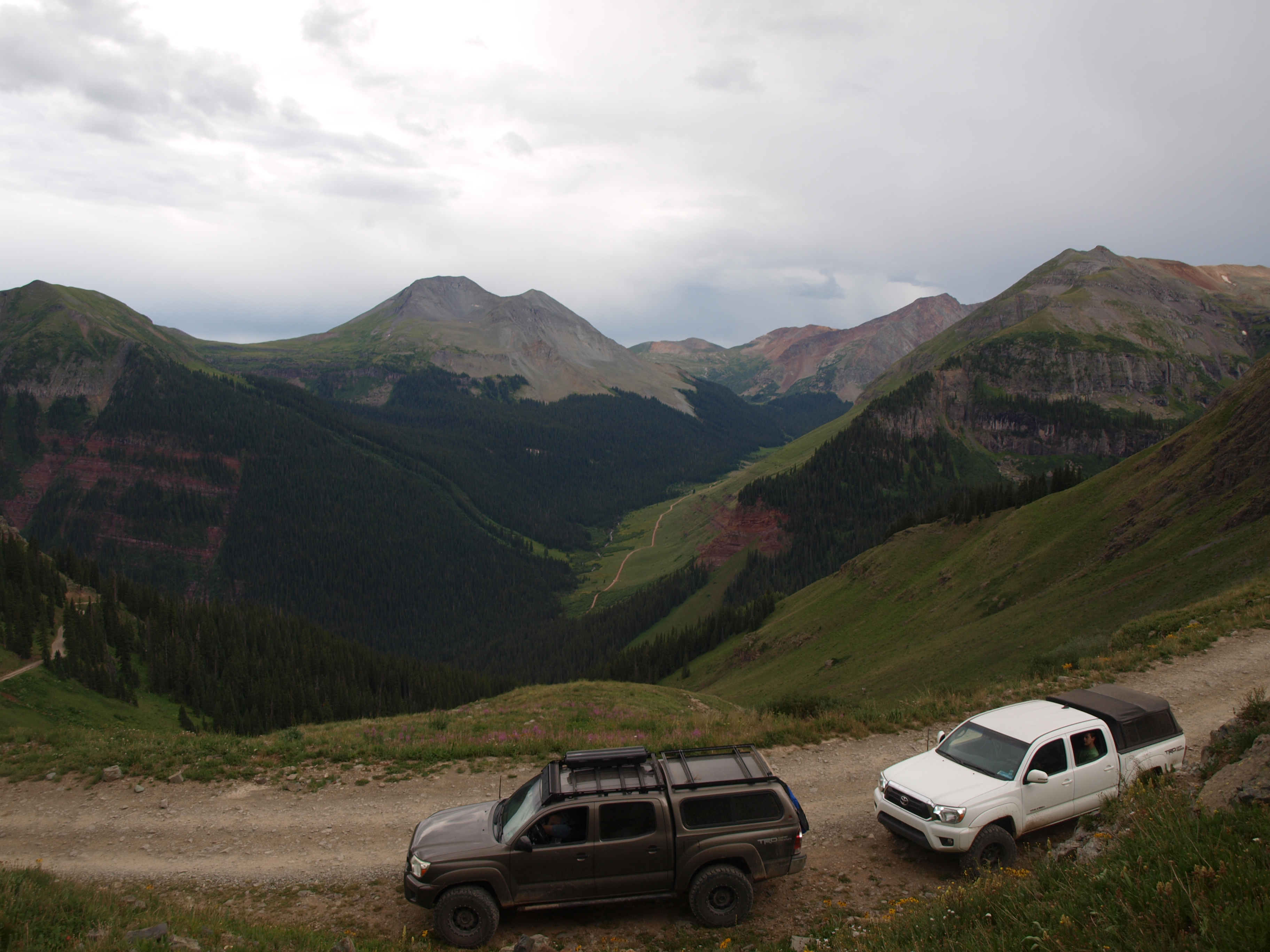 P1012623

 P1012624
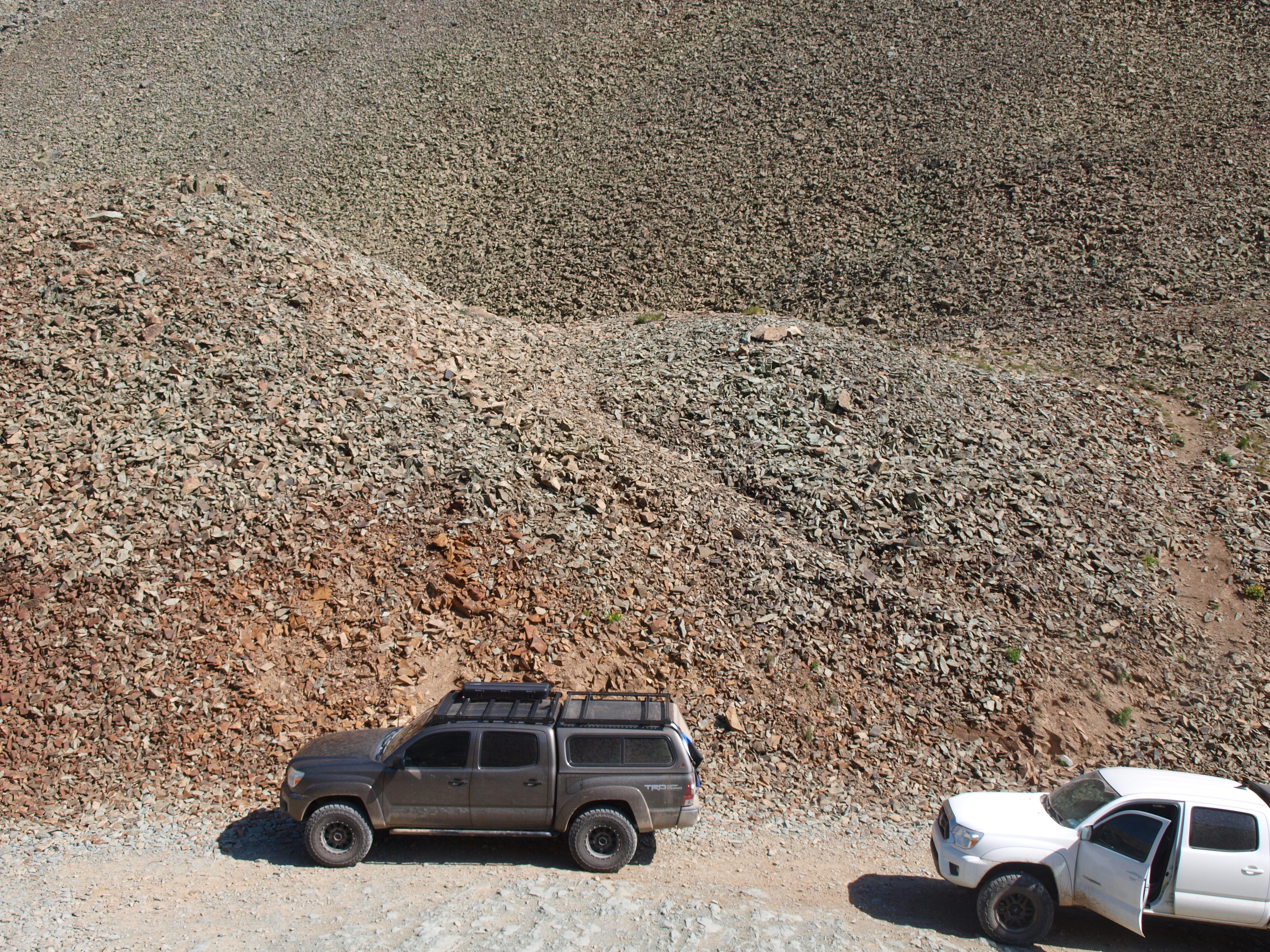 P1012626
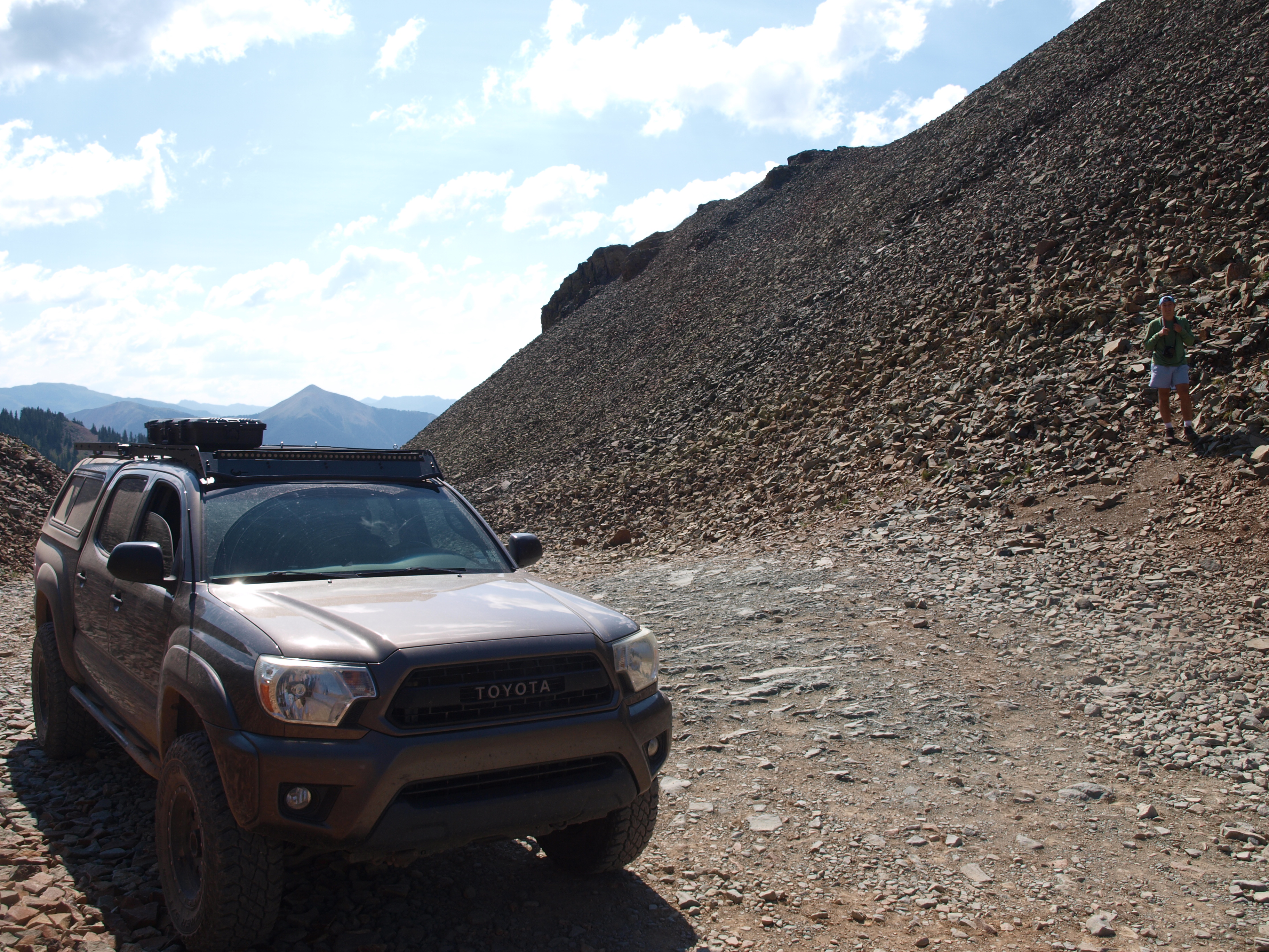 P1012628
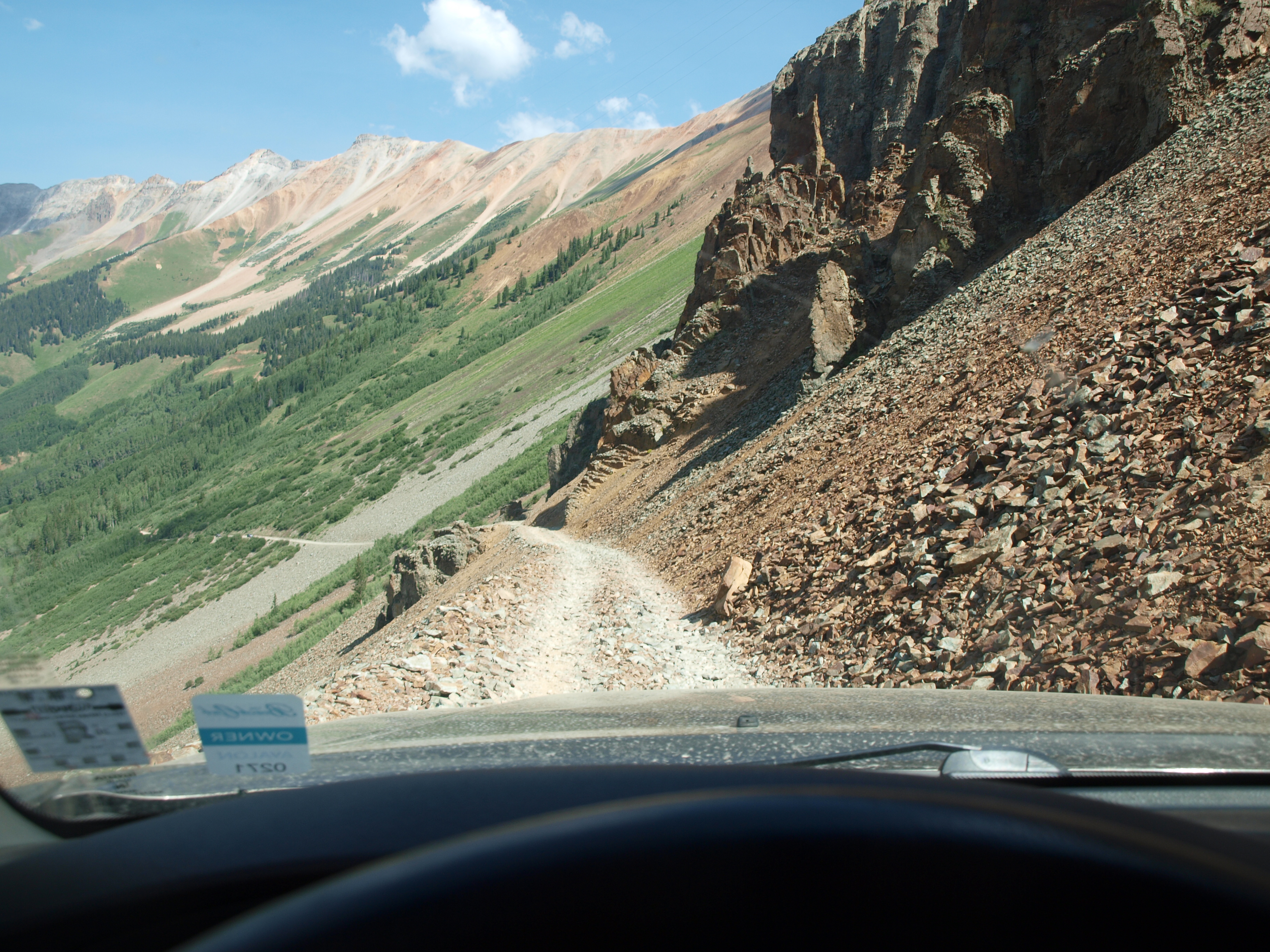 P1012630
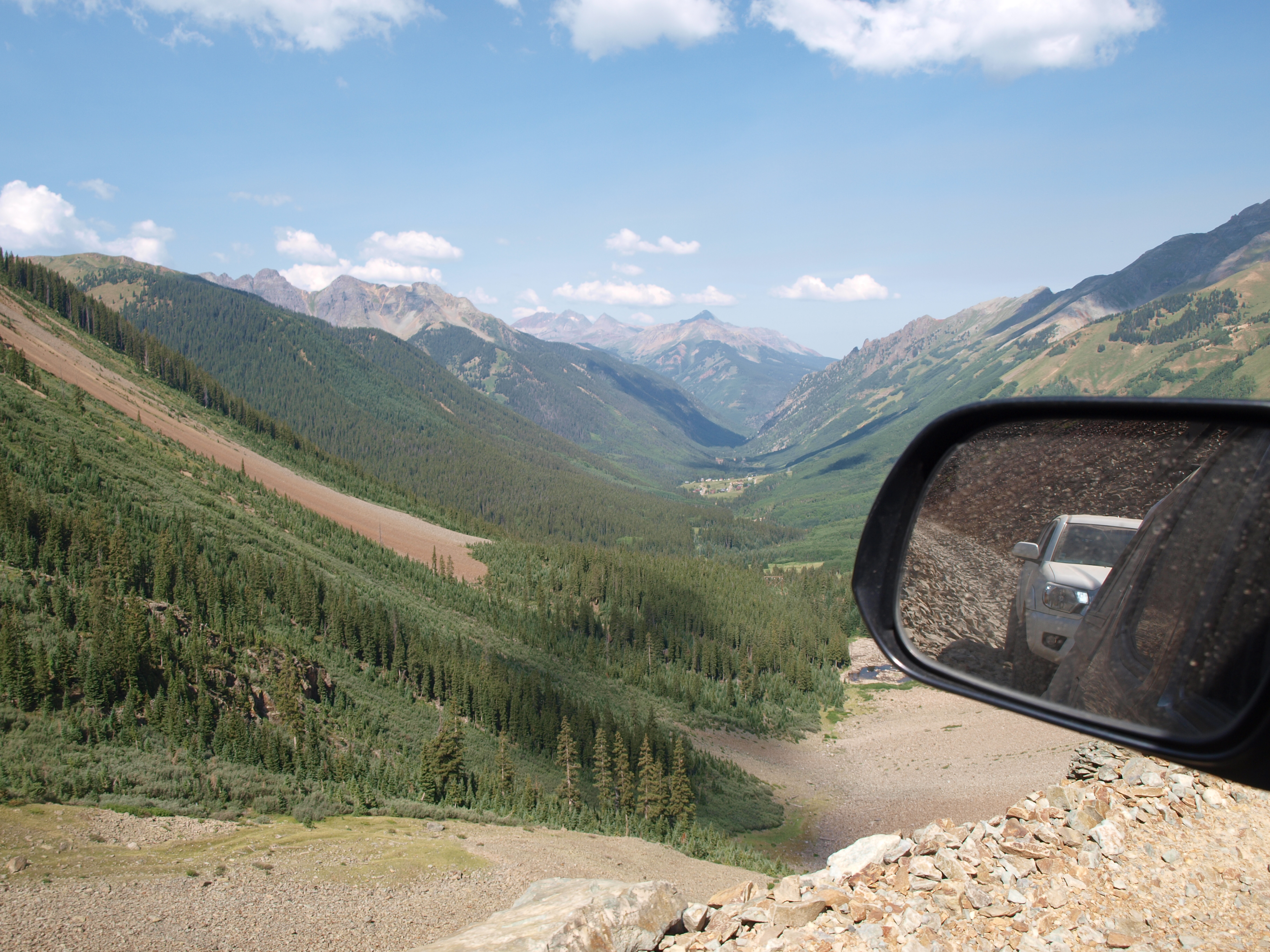 P1012631
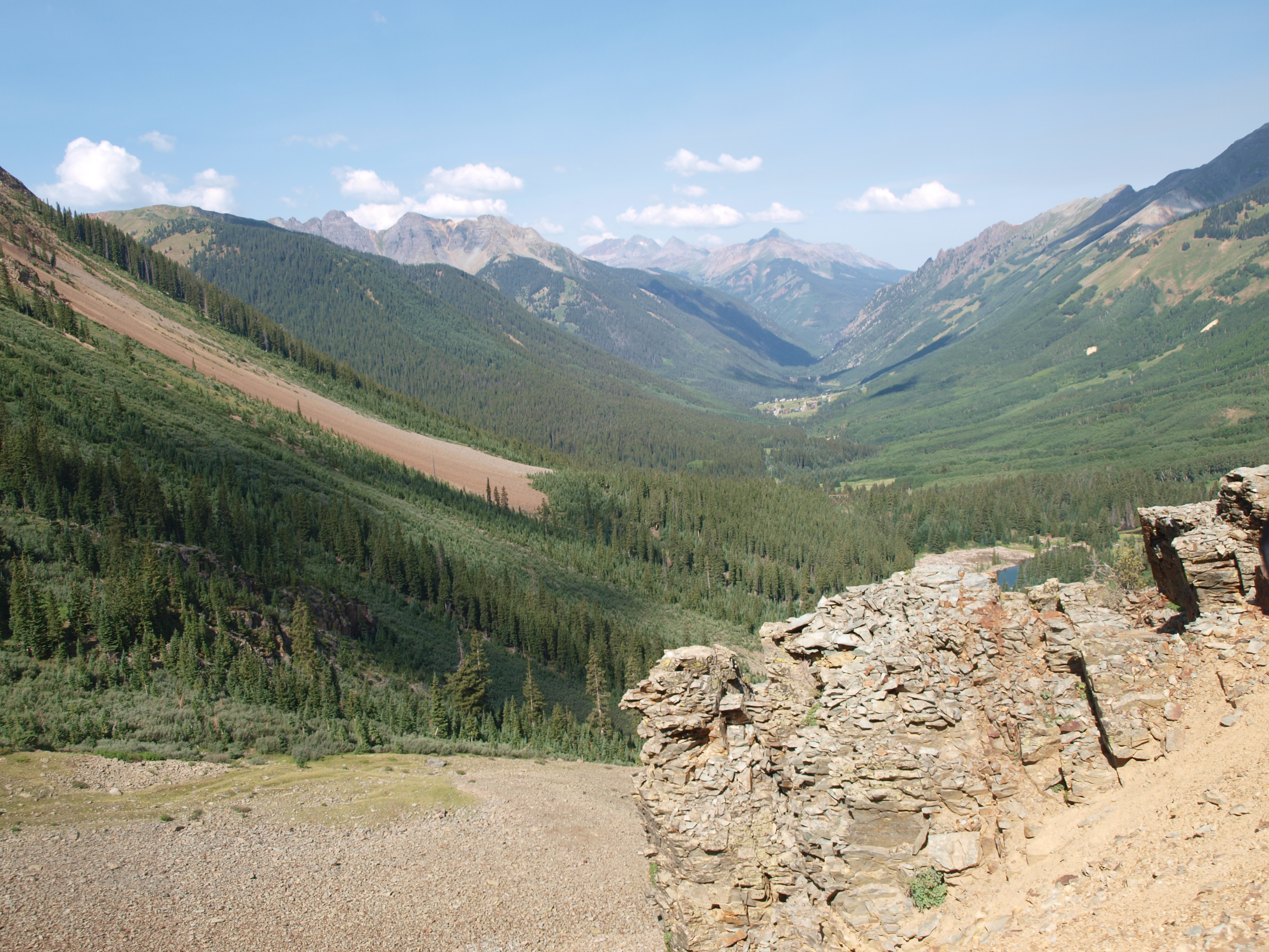 P1012632
 P1012635
 P1012633
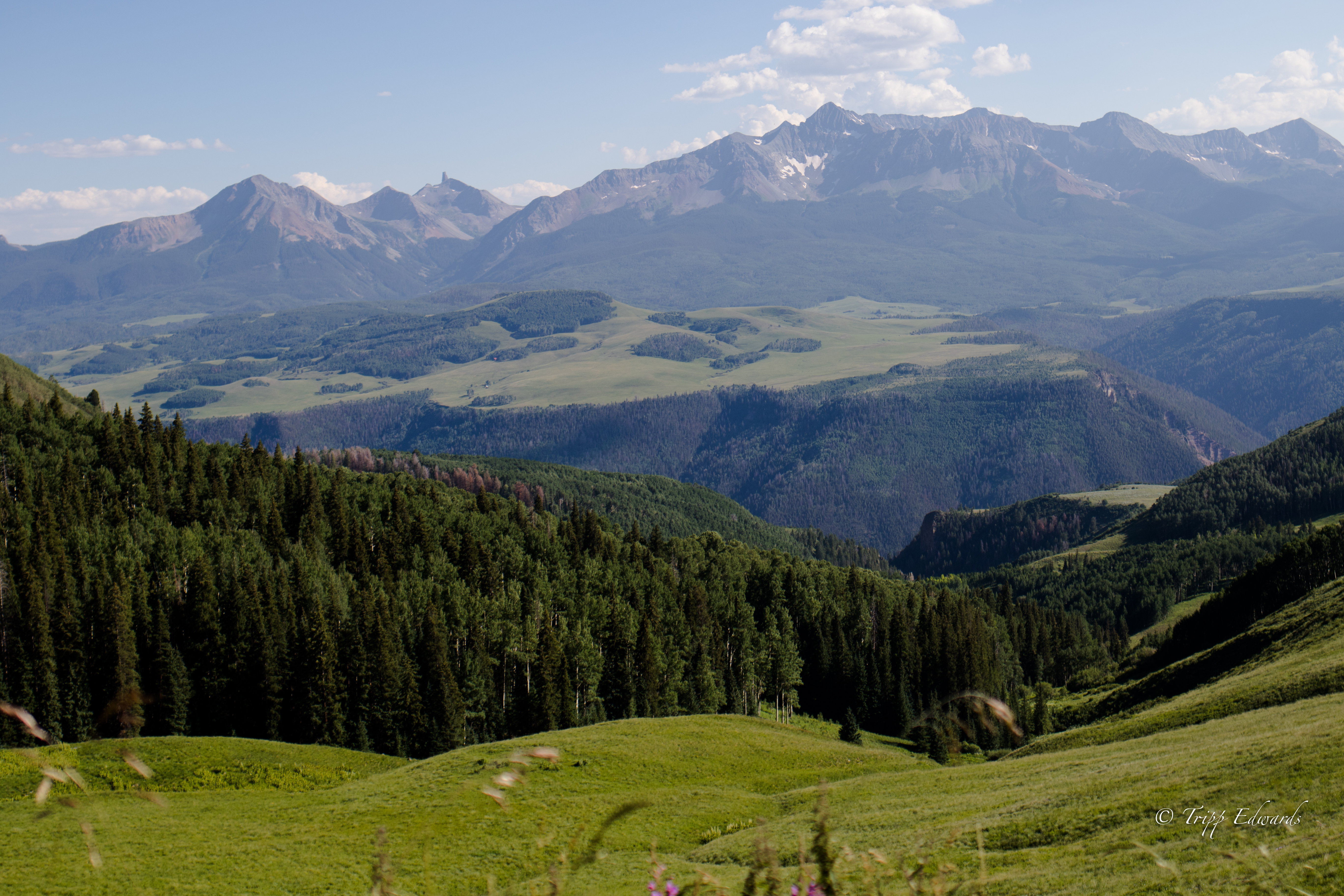 Last Dollar Road
 Last Dollar Road
 P1012636
 P1012639
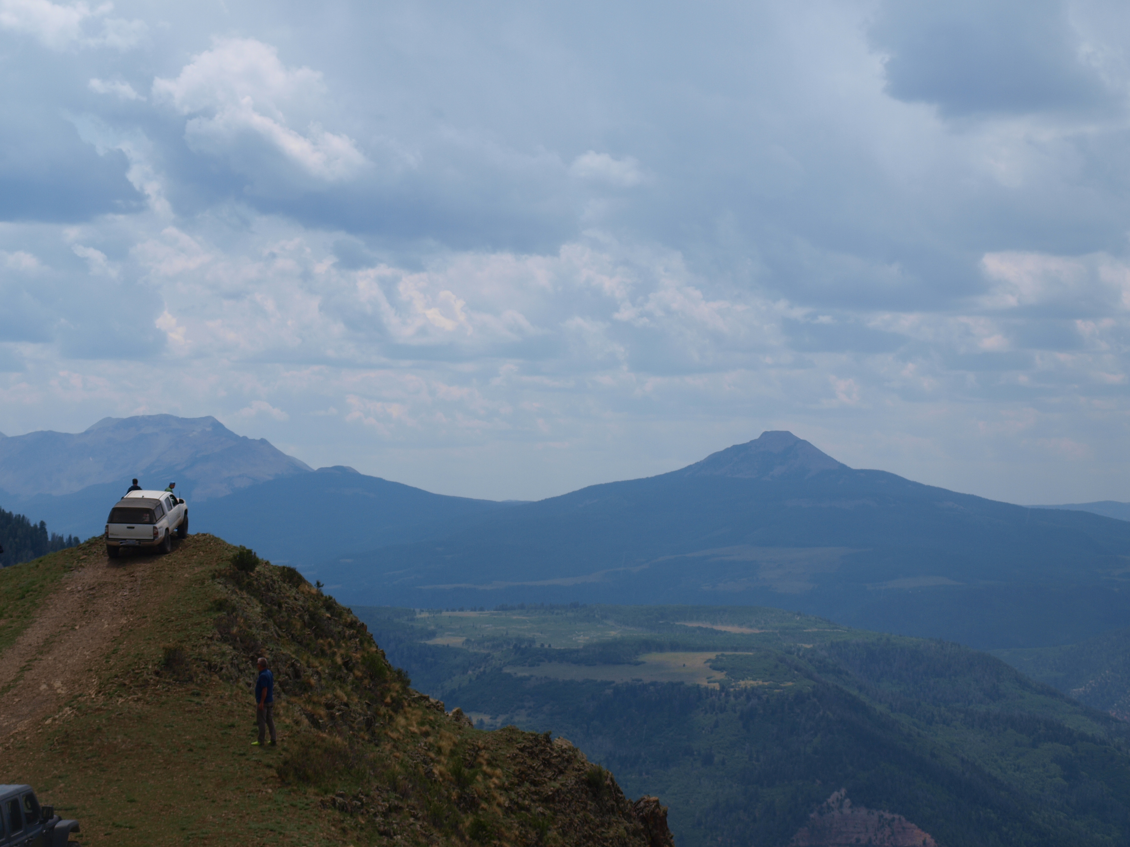 P1012640
 P1012641
 P1012644
 P1012648
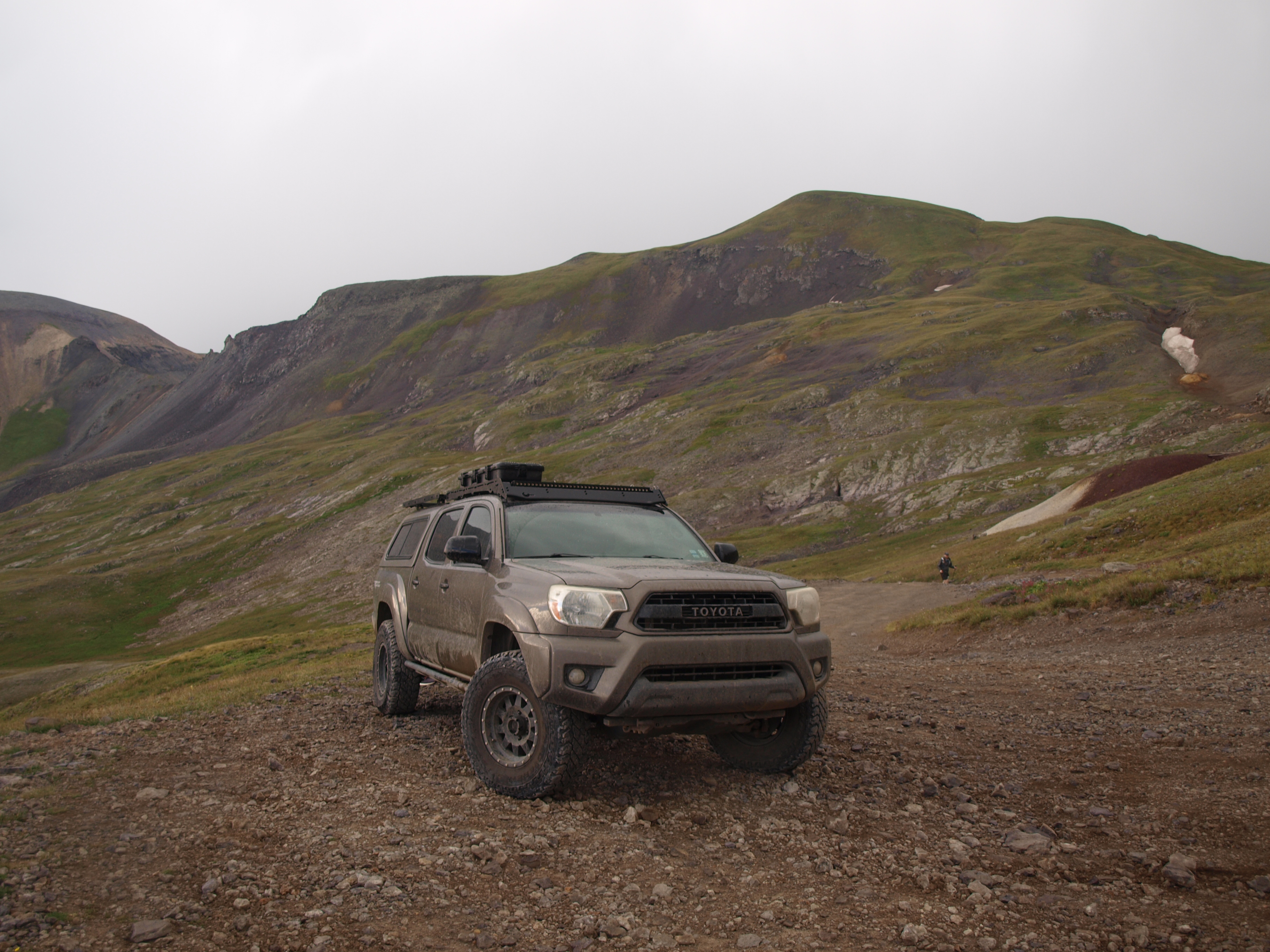 P1012651
 IMG_3960
 Untitled
 P1012654
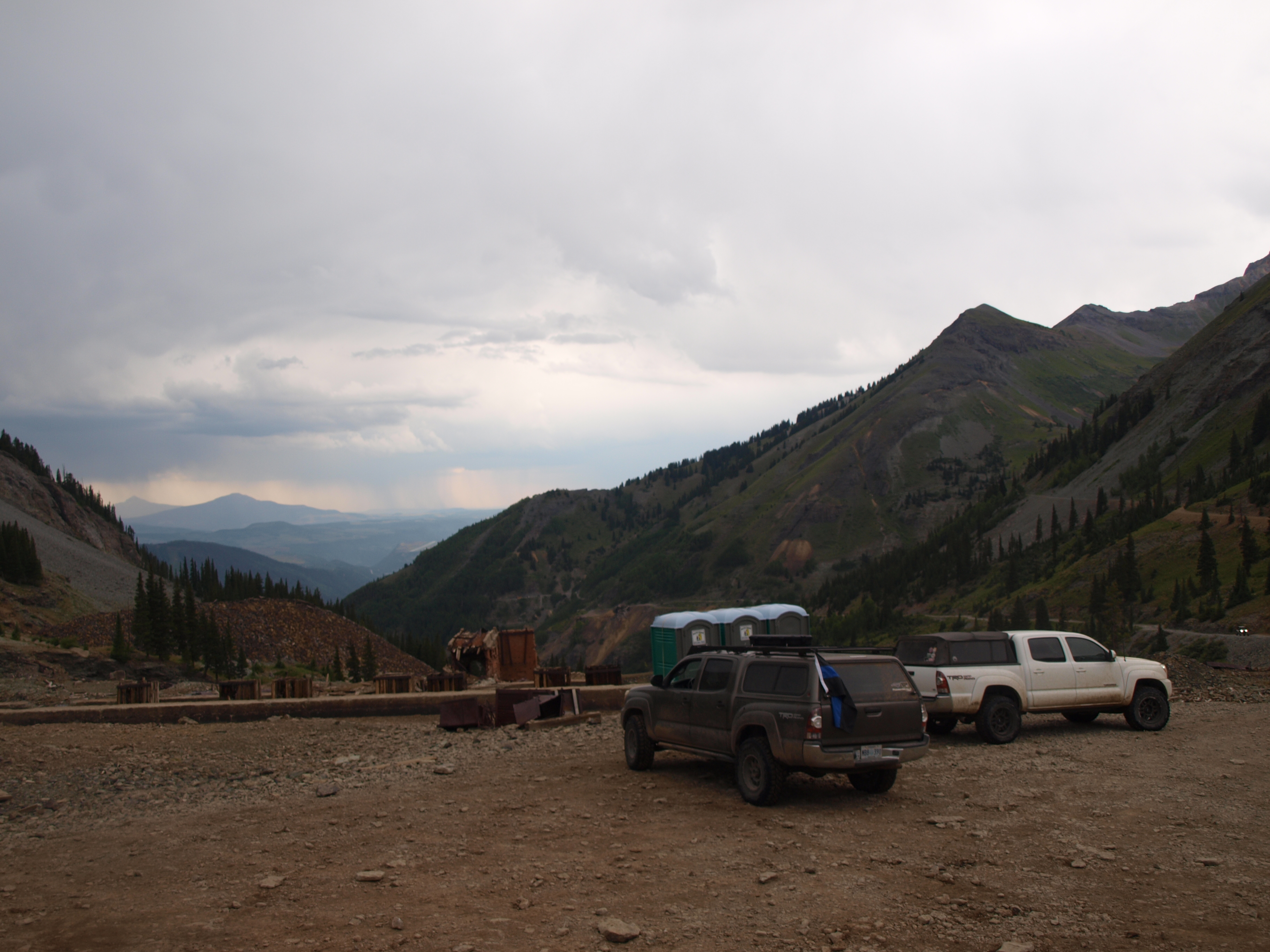 P1012655