Snow in Arkansas! 1/29-31/2010

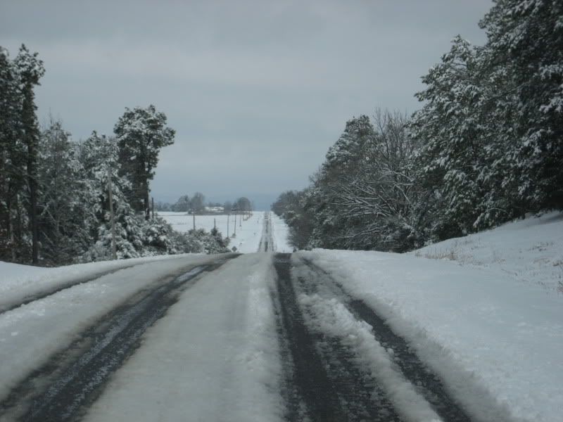
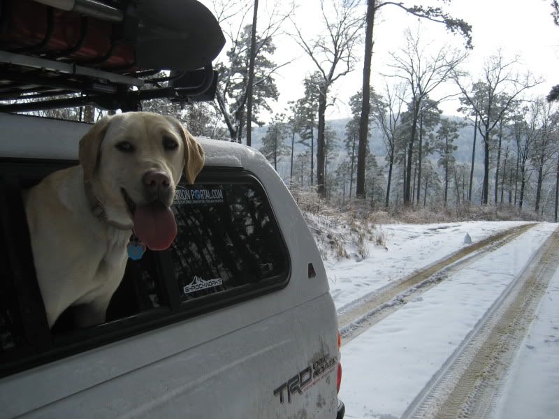
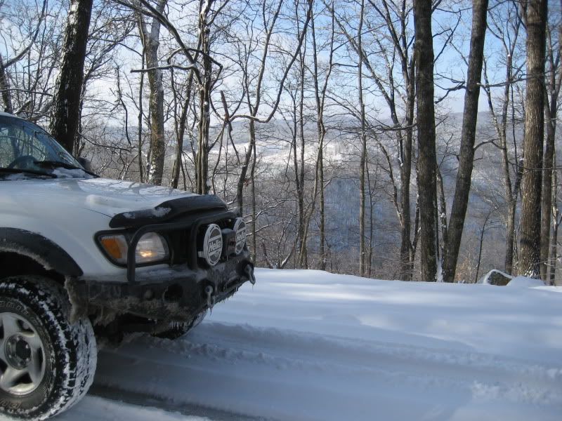
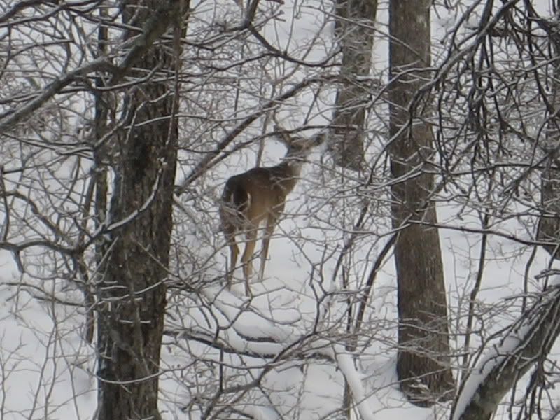
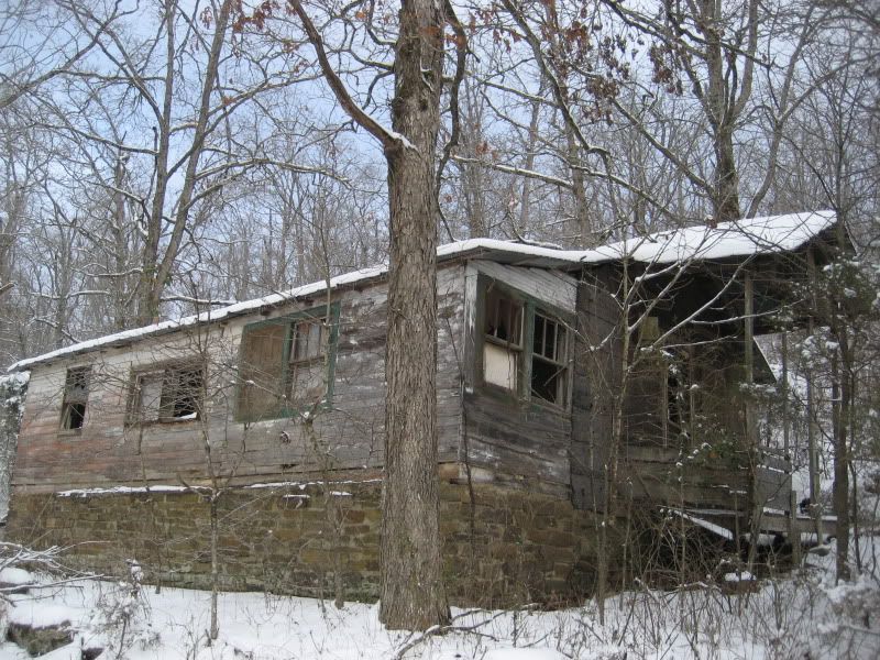
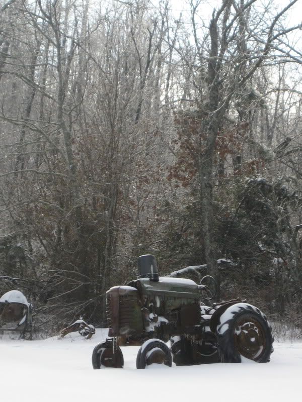
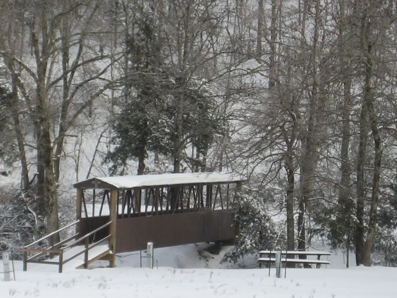
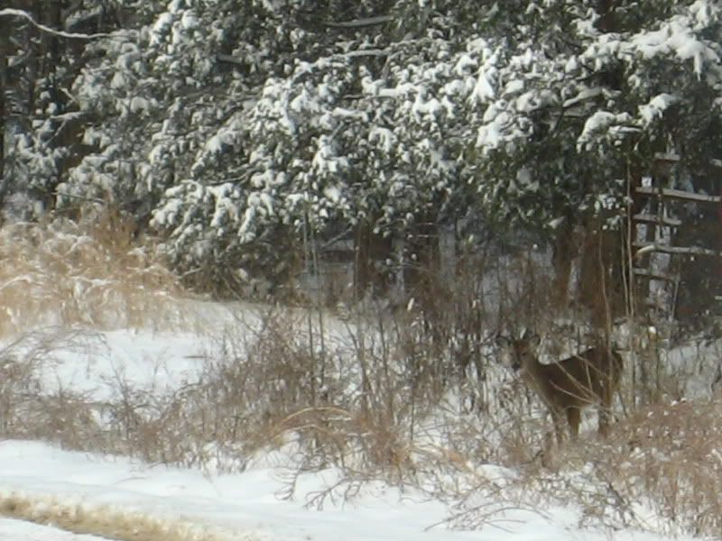
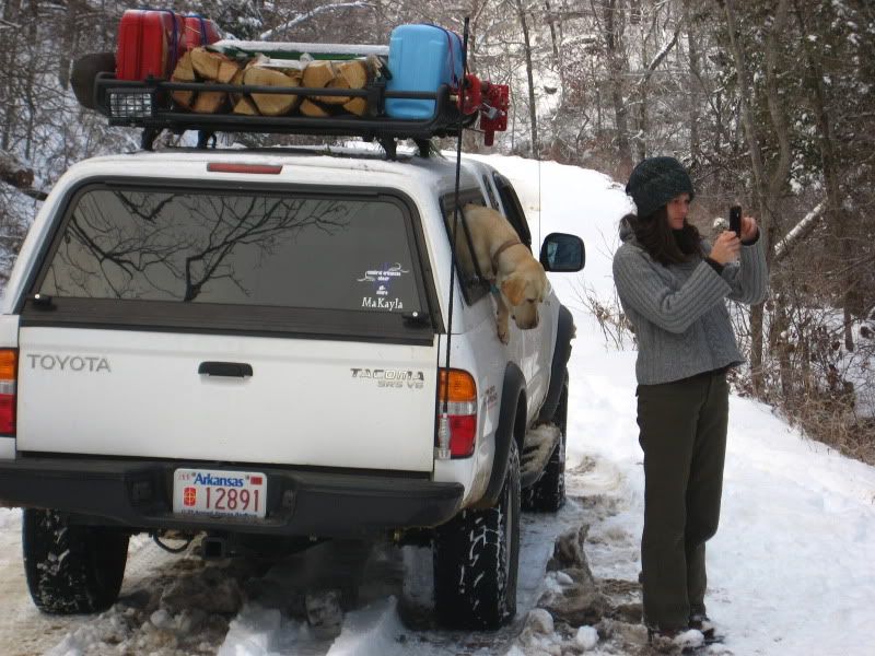
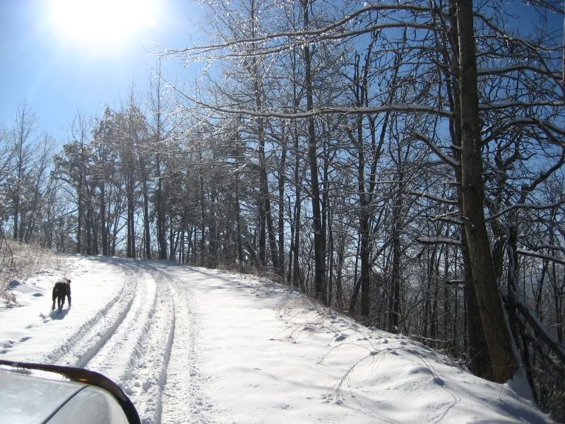
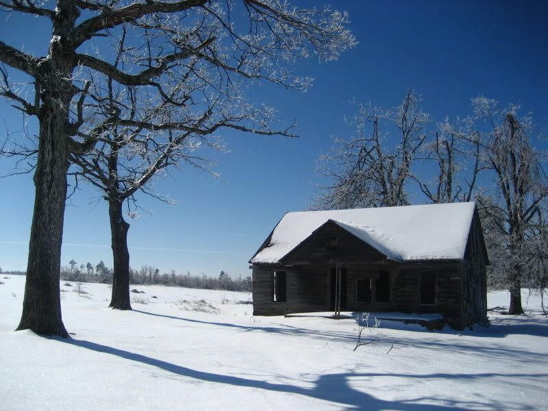
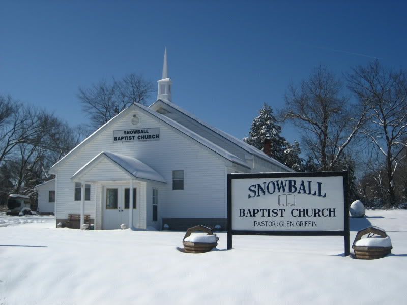
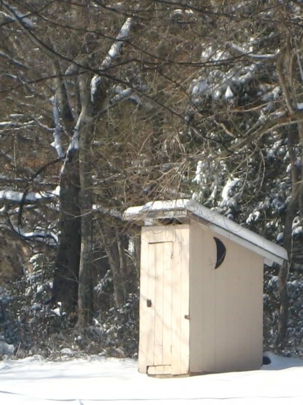
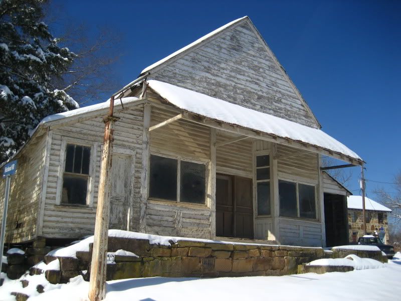
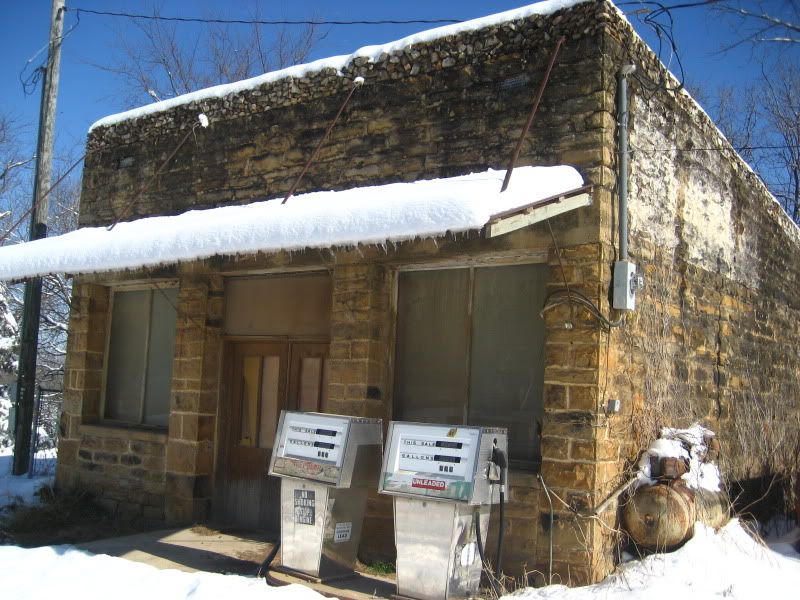
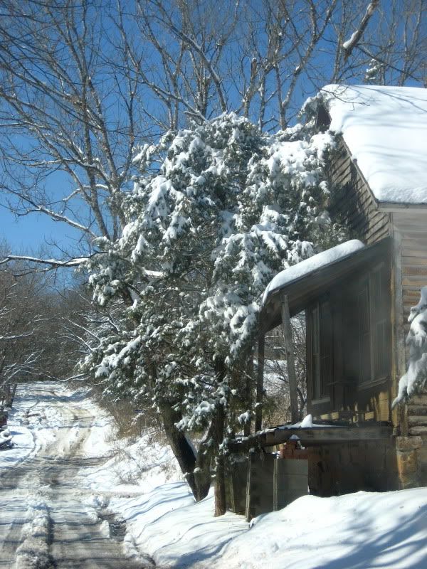
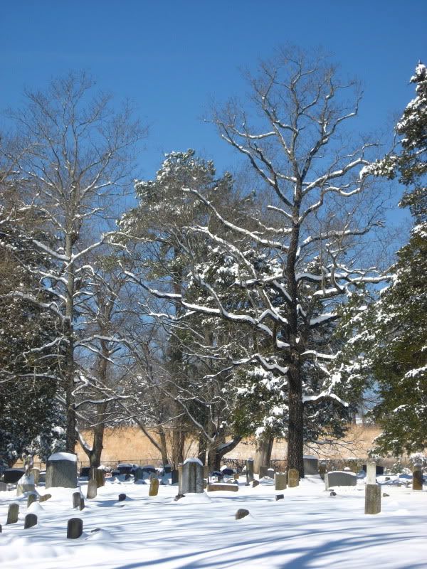
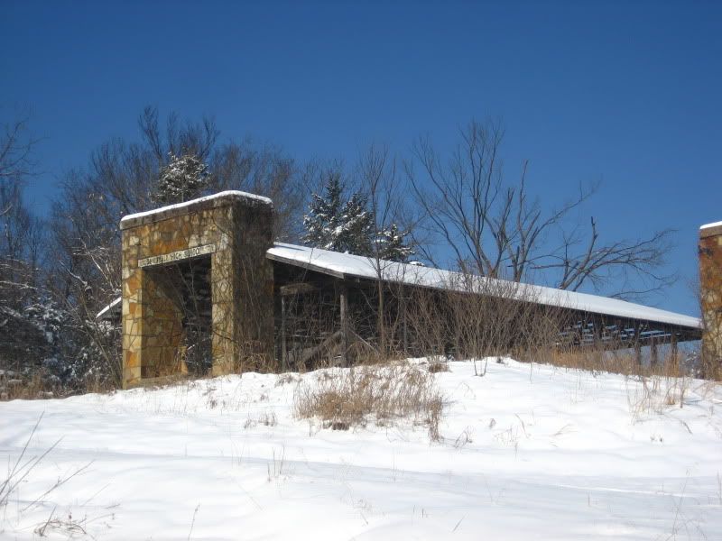
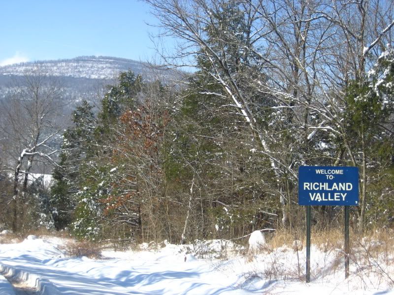
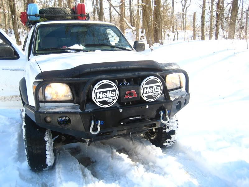
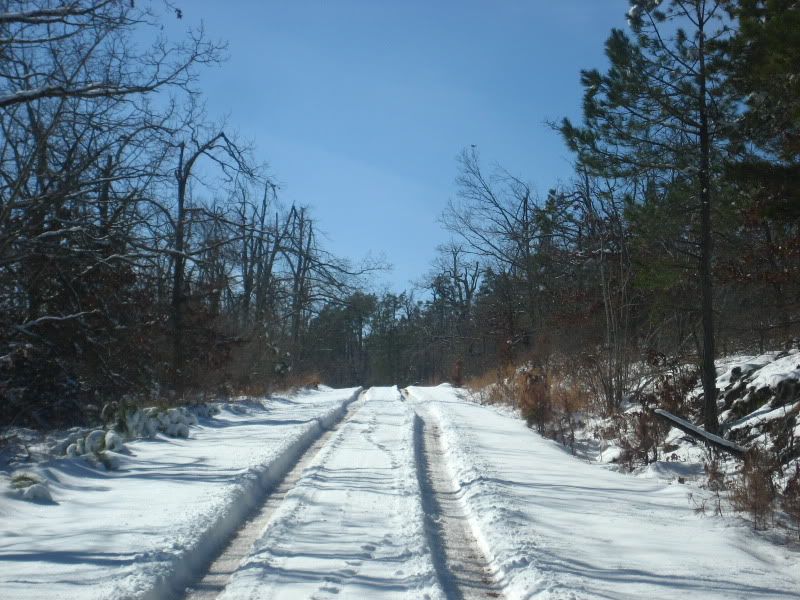
So I made a quick run today because it snowed enough to actually cover the ground. (Around here, that's a pretty big deal.) Really just a teaser for me, though, as tomorrow morning my g/f, the dogs and I are headed up into the Ozark Natty Forest to continue to recon'ing for the Central Member's trip coming up in April.


IMG_2278.jpg

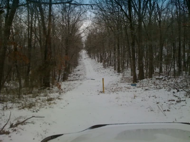
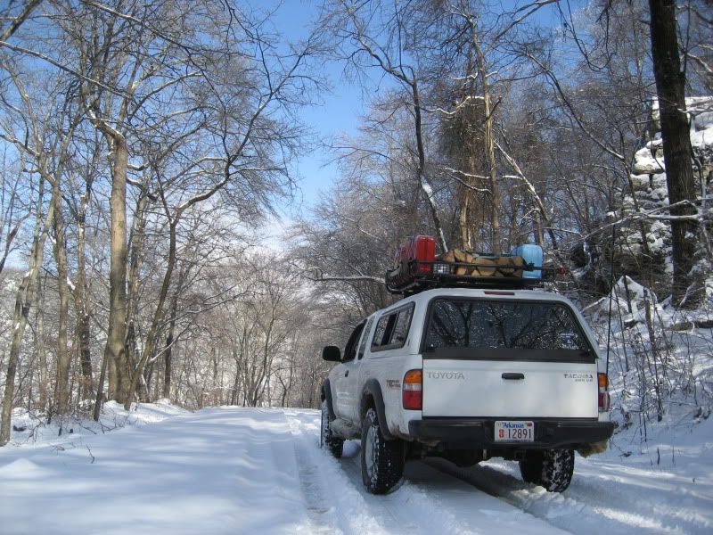
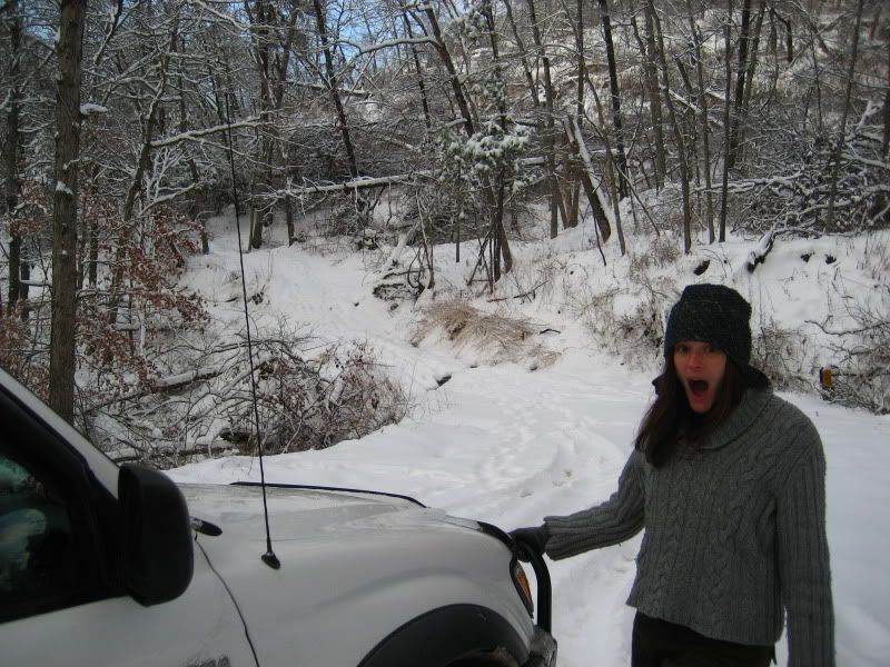
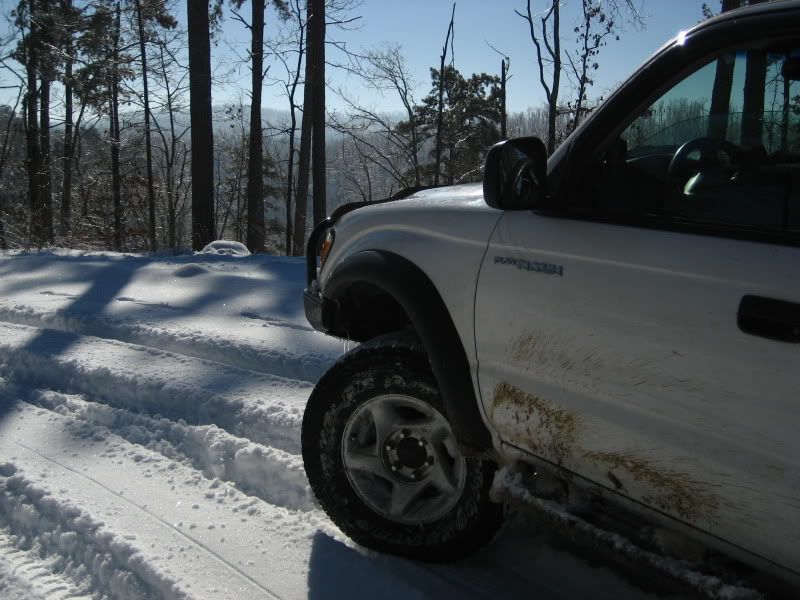
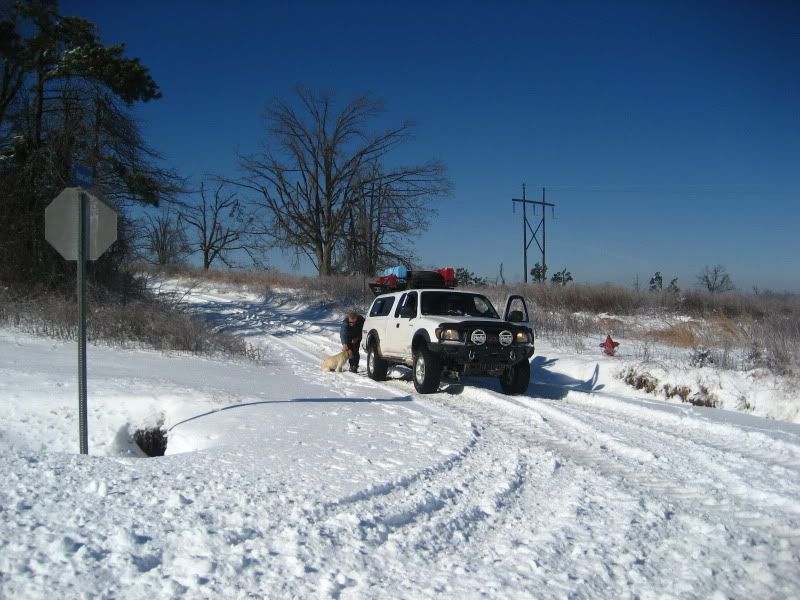
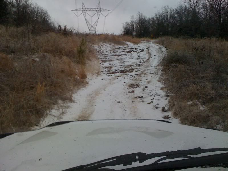
Couldn't make this one... sideslope kept slipping me to the left into the trees. :(
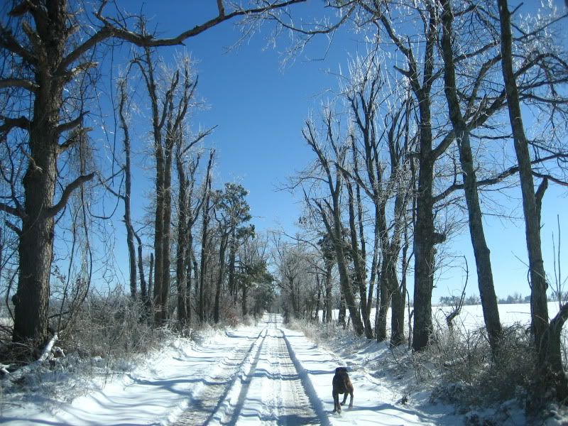
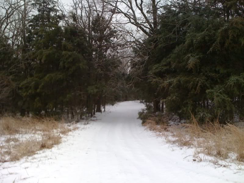
(Under this 2-ish inches of snow is about 1/2" of ice... we got freezing rain the night prior to the white stuff.)

IMG_2277.jpg


IMG_2276.jpg

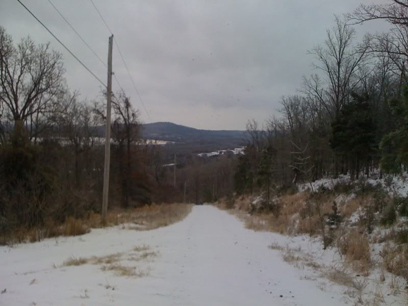
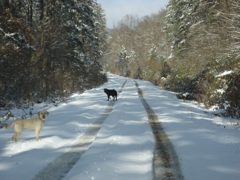
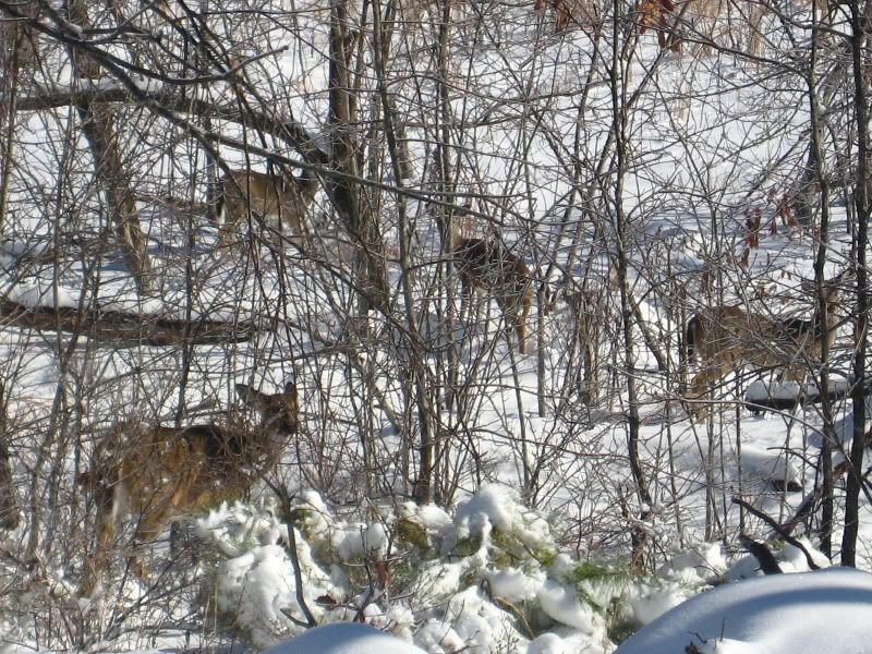
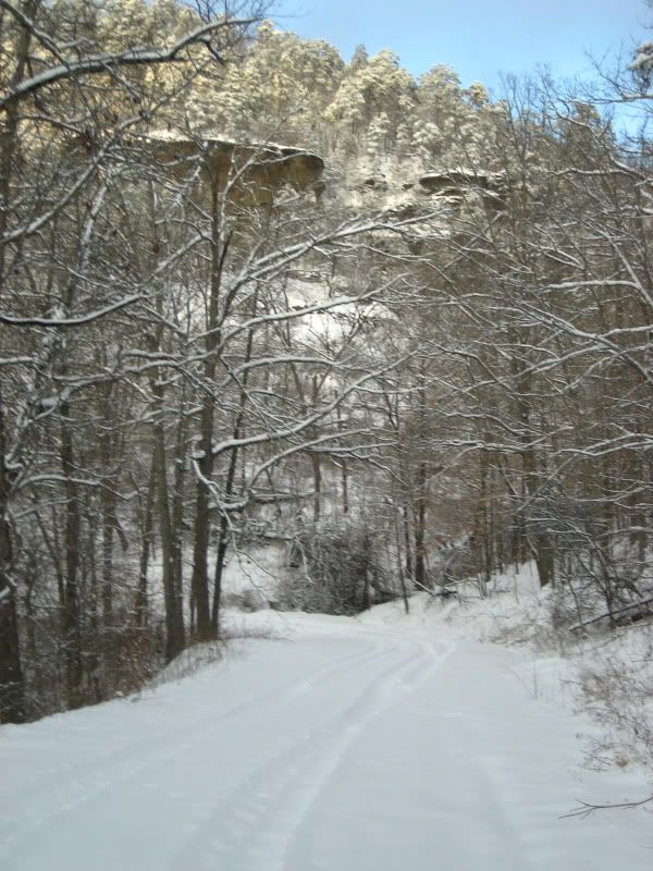
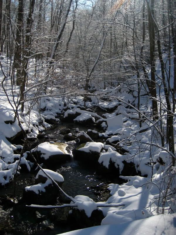
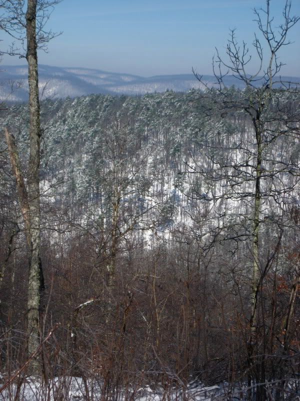
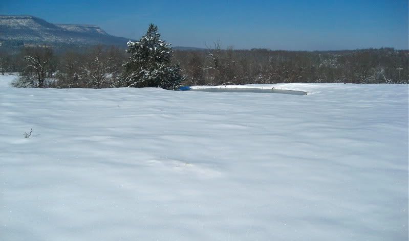
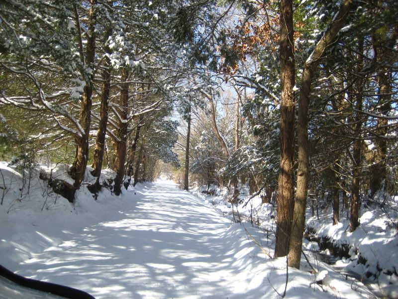
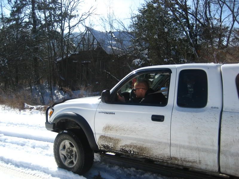
Beautifully quiet out today. (And I'm truly IN the city!)
IMG_2275.jpg


IMG_2274.jpg

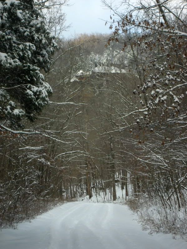
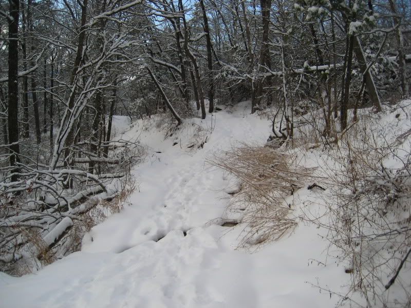
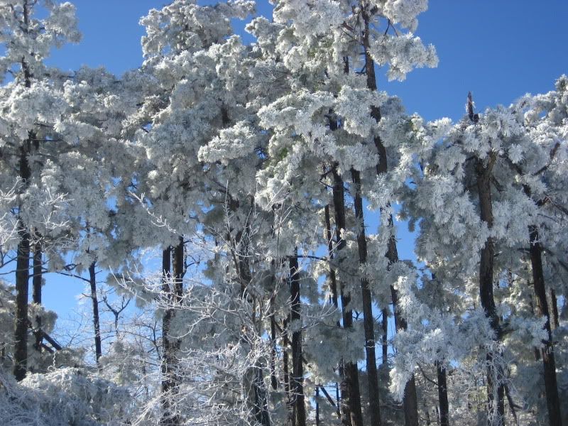
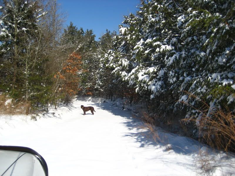
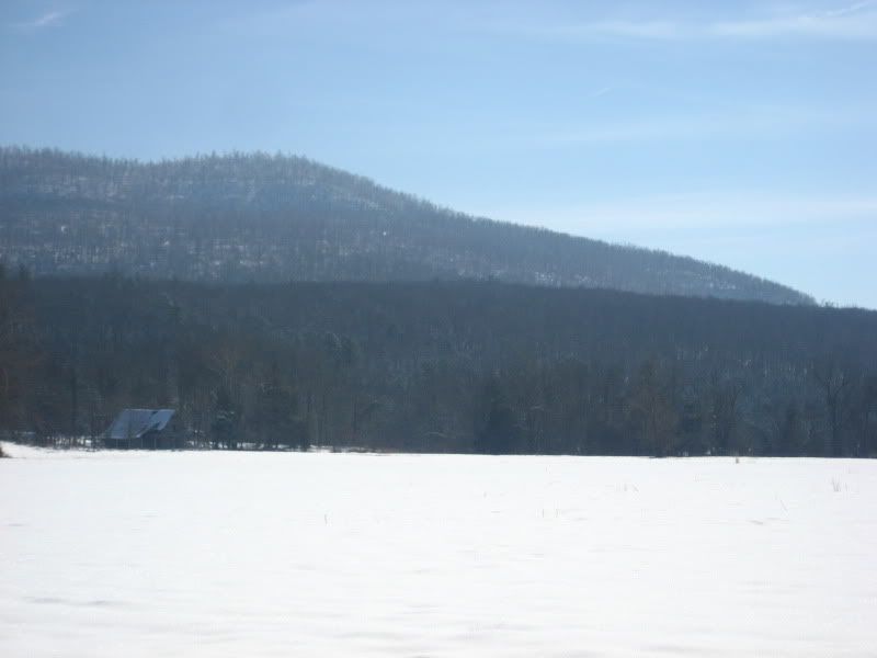
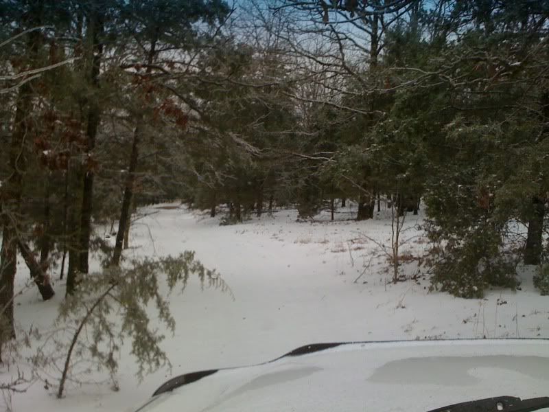
Daring to go where only ATVs had gone all day!
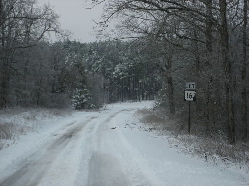
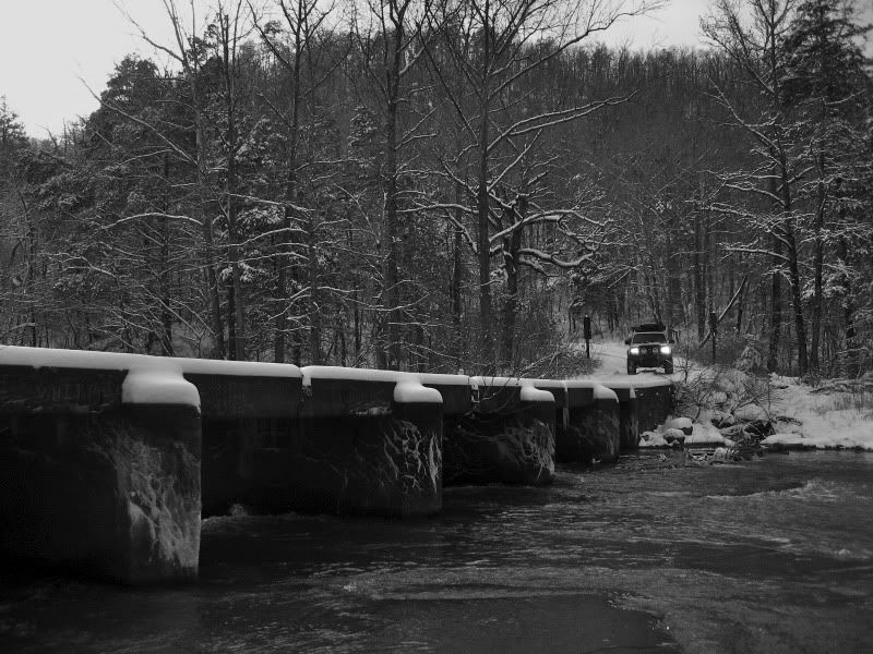
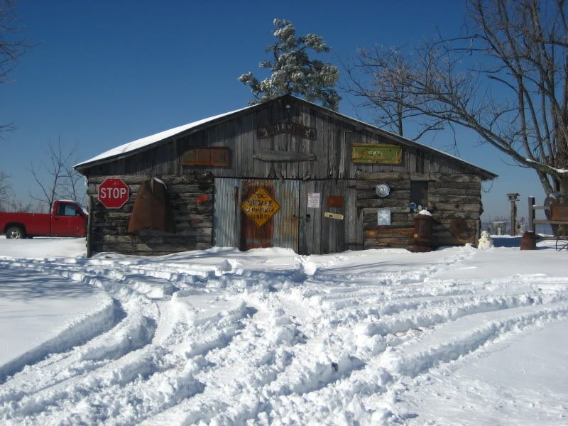
And, yes, I made it.... locked and after 4 attempts. :victory:


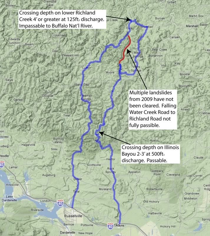
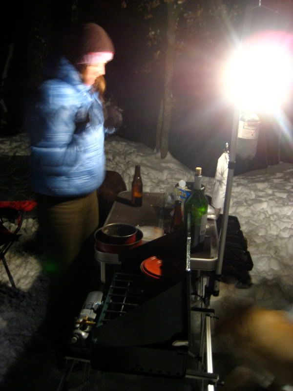
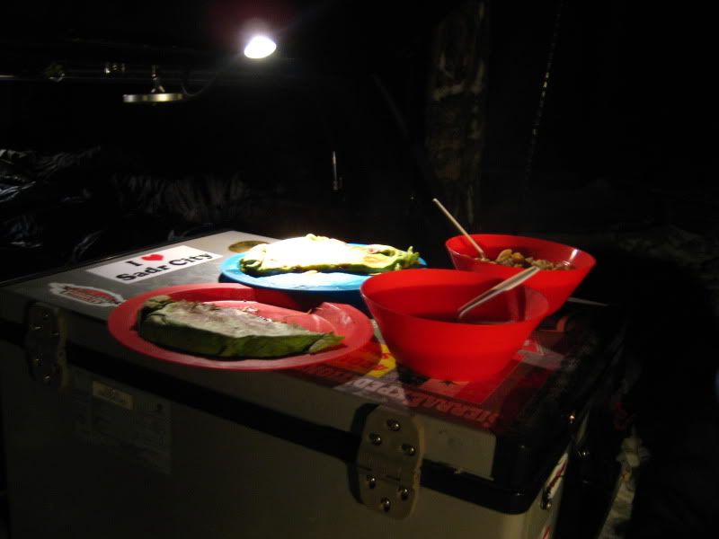
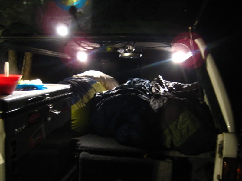
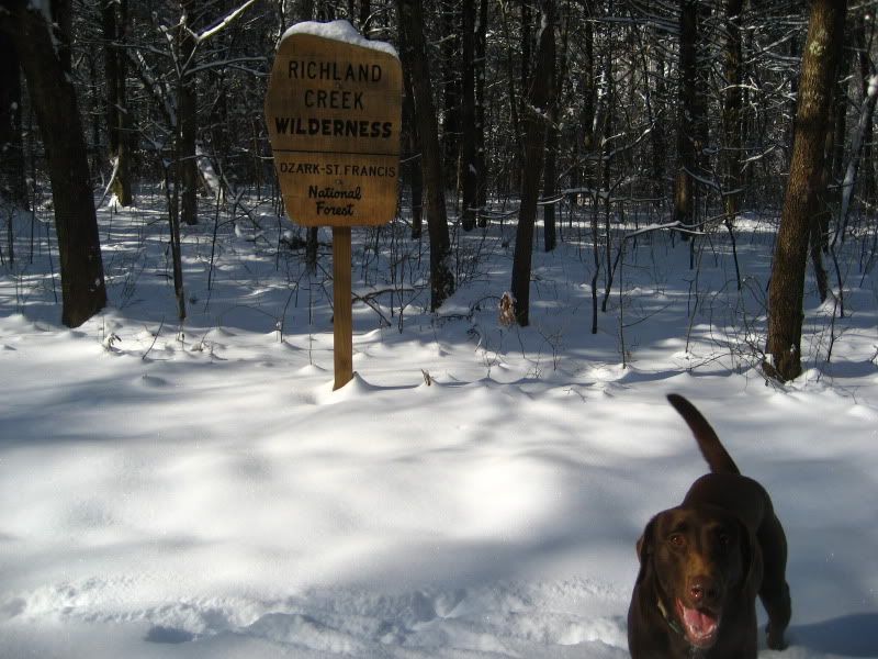
Starting in the morning, we'll be covering about 70 miles of trail between Appleton and St. Joe, AR. Likely to spend the night somewhere around the Richland Creek Wilderness. I'll make sure to post up some pics to this thread when I get home on Sunday. Stay tuned.
 

Blackwater

Im getting old! :(
Looks like fun. We have around 6 or 7 inches so far up here in Fayetteville/Springdale area. Too bad im stuck on shift at the Fire Dept. Looks like I will have to go play in the A.M.
 

land travaler

New member
looks like ya had fun i was to busy in the bodyshop today but nothing to do on saturday ill be out in 10 inches of the fluffy stuff:victory:
 
Okay, so here we go with the update. If you'll remember, this was not simply an excuse to get out and play in the snow, but it served as "Recon#3" for the upcoming ExPo Central Region member run.

Buckle up. It was a great weekend in the snowy Ozarks, and we took LOTS of pictures...


Here's our route w/ my recon notes:

SnowDaysJan2010.jpg

The route was 140 miles, give or take a few... We spent more than 100 of them in 4wd.
(Dear, God: thank you.)


For this trip, in particular, I was curious to see if the Falling Water Creek Rd still connected to Richland Rd and on to the Buffalo River crossing at Woolum. Apparently, last year, there were no fewer than five landslides which claimed various portions of this road. (FYI: 2009 received almost 100" of rain; a new state annual record.) Come to find out, it is still impassable, and word is that is won't be open anytime soon.

Somewhere around mile 60 we came upon the southernmost landslide site, and as expected, it stopped all forward movement.

But I'm getting ahead of myself here...

----------------------------------------------------------------


We left Little Rock early Sat morning. I-40 west to the Atkins exit, then it was north up onto the Ozark Plateau... the southern Boston Mtns to be exact. We entered the national forest just north of Hector.


IMG_0261.jpg

The highway in. More tractor tire tracks than truck tire tracks.


IMG_0276.jpg

On the dirt finally! About time to let the dogs out.


IMG_0281.jpg


IMG_0321.jpg


IMG_0285.jpg

The Ozarks.


IMG_0310.jpg


IMG_0319.jpg

Most of the time, we saw the tracks of one or two other trucks or ATVs which had come before us, but we never saw actually saw the vehicles. It was pretty much us.


more to follow....
 
Last edited:
This area, although either part of the National Park or National Forest systems now, was settled by "hillbillies" back in the early 1800s. The folks, most of whom had their ancestry in Scotch-Irish lineage, stayed here for several generations before being bought out by the federal gov't during the mid-20th century. Many moved north to the steel belt. Many more left for a life of promises in California. Others never left; they hid here.

And here they exist. Completely, successfully, hidden...


IMG_0336.jpg


IMG_0324.jpg


IMG_0327.jpg


IMG_0332.jpg


------------------------------------------


IMG_0339.jpg


IMG_0510.jpg

The deer were all over the place.


IMG_0345.jpg

Falling Water Falls. (Clearly, aptly named by some creative genius.)


IMG_0350.jpg

Em taking pics of what I was taking pics of... and Maggie trying to be sneaky behind her back.


IMG_0374.jpg

(This one will most likely be framed and find a home on my office desk... to keep me motivated, of course.)


IMG_0388.jpg

Up above you can see the bluff where one of the landslides gave way.


more to follow...
 
Last edited:

Token

Explorer
2-4ft river crossings.. I may need to rethink this..

What map sets you using..??

Also.. I gotta say I'm mighty impressed.. You got a girl to go out camping, in the back of a pickup truck and it's 20 degrees outside..

We came across a couple in Colorado last September that were out camping on Chihuahua Gulch.. They'd gotten stuck crossing a small creek and had just made it across about 10 minutes before we came along. They were just starting to setup camp (not fully unloaded yet) wondering how/if they were gonna make it back across the next morning.. We offered to hang out and help them get back across, but they decided they would just wait until the morning.. Was barely supposed to hit freezing that night up in the mountains, my wife made mention "they had to be outta their ever lovin minds to camp out in that weather".. I figured they were prepared for the weather and can recall camping out in the winter on a creek bank behind my grandmother's place with nothing but some old quilts and some wind breaks we made out of leftover straw and chaff from the soybean field beside the creek..

If she were to wake up and it was within 43 degrees of 20, she wouldn't be all laughing and smiling and it'd take me better than a month to get outta that doghouse..

Guess 20 years of living in Memphis has made us soft..
 
Last edited:

IMG_0397.jpg

Approaching the southernmost slide site. (FYI: That bluff didn't exist 6 months ago.)


IMG_0400.jpg

"OH, NO! End of the road... Where do we go now?!"


IMG_0402.jpg

The slide site. (Through the mess you can see the flat area to the left where the road exists on the other side. Gonna take a big dozer...)

It's cool how the trees you see beyond our footprints slid down the hillside and remained upright.
The earth didn't roll, it simply s-l-i-d... pretty amazing.

------------------------------------


It was pretty late, so we backtracked a bit and found a decent flat area along the road to camp...


------------------------------------


IMG_0405.jpg

Cooking dinner.


IMG_0406.jpg

Beans and soup and quesadillas. (That'll warm ya!)


IMG_0408.jpg

Two bags for dad. Two bags for mom. One bag each for the pups.
Home Sweet Home.


IMG_0418.jpg

Cuddlin'.


IMG_0426.jpg

Icy inside @ 20* or so.


IMG_0431.jpg

Em doing everything possible to NOT get out of the truck this morning.


IMG_0438.jpg

A frozen Boscoe after going out for his morning pee.


more to follow...
 
Last edited:

The minor discomfort of camping in the cold offered us big rewards back on the trail...
peace, quiet, and immeasurable beauty:

IMG_0447.jpg


IMG_0454.jpg


IMG_0474.jpg


IMG_0480.jpg


IMG_0489.jpg


IMG_0523.jpg


IMG_0544.jpg


IMG_0503.jpg

Major ice storm came through here last year. Evidence was everywhere.


IMG_0505.jpg

Our landslide detour took us back to the highway for a minute...

 
Last edited:
...which gave us a chance to see some cool old settlement areas around Witts Springs and Snowball...

IMG_0511.jpg


IMG_0514.jpg


IMG_0527.jpg


IMG_0529.jpg


IMG_0530.jpg


IMG_0532.jpg


IMG_0538.jpg


IMG_0535.jpg


IMG_0540.jpg


This area was settled by Europeans in the 1850s and known as Point Peter. It was the first post office in Searcy County, AR. It served a a mining area for saltpeter, used for making gunpowder; the entire Searcy and Newton Counties offered a strategic reserve of the stuff during the Civil War, and evidence of both the mines and the cast iron kettles used for "brewing" the gunpowder can still be found if you know where to look.

The community--for reasons unknown to me--later become known as Snow Hall, but at some point around the turn of the 20th cent, a postal error designated it "Snowball," and the name stuck.

Crazy Arkansans... some things never change.
 
Last edited:


IMG_0557.jpg

...finally into the stunning Richland Valley, post-detour.

IMG_0559.jpg

First tracks. Score!

IMG_0563.jpg


IMG_0571.jpg

This was intended to be the second to last crossing for the spring group run. Very doable in summer, but this morning it was at headlight depth and still going deeper. Once my front tires disappeared, I backed out... I'm not going all "Granite Creek" with it. ;) (j/k, Clark.)


IMG_0573.jpg

If you look closely, you'll see the water line about midway up my winch solenoid box. Considering I have one of those stupid cold air intakes (i.e. drinking straw), I simply could not take the risk. Plus, this is a recon for nine other trucks, too. I must keep things reasonable.

So, time to route another way out....


IMG_0592.jpg

Scanning GPS topos in front of what's probably a 100 year old barn.

IMG_0579.jpg

The glory of Richland Valley.


Last edited:

IMG_0593.jpg

This one went much better. Wider, but only about 18-24" deep with very little current. Smooth sailing.


IMG_0600.jpg

Pushing up and out to the south and west toward Lurton.


IMG_0602.jpg

Atop Richland Valley and headed toward Hwy 7.


IMG_0607.jpg

Got back to Little Rock late Sunday, just in time for sunset of the Ark River and Pinnacle Mtn.


Hope y'all enjoyed--thanks for riding along!

The route scouting for the group run is ahead of schedule and almost complete. I feel the route will offer you all attending a glimpse into some of the best that this state has to offer. Can't wait for April! :wings:

Later, guys and gals.
 

Mr. Leary

Glamping Excursionaire
Sounds like a fun scouting trip. Looking forward to the trip. Arkansas definitely has an abundance of beauty... that most folks just don't know about.

Thanks for the writeup. Nice pics.
 

Forum statistics

Threads
185,828
Messages
2,878,635
Members
225,393
Latest member
jgrillz94
Top