ExpoMike
Well-known member
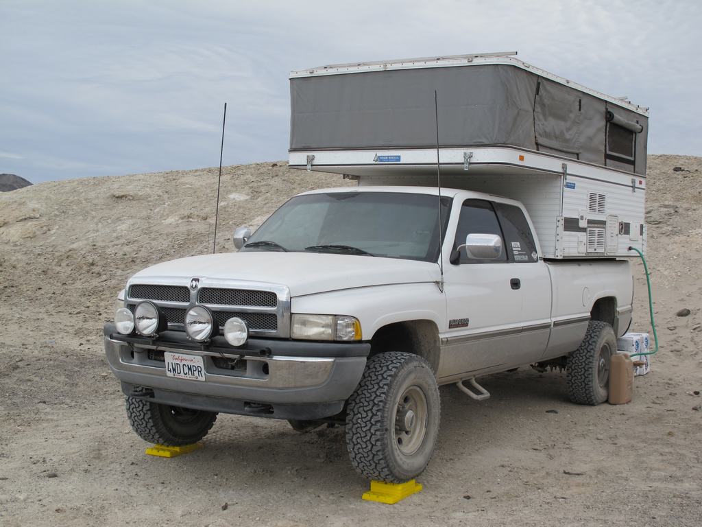
This trip had it roots started back in Jan. 2013 when a small group of us made a trek to the Saline Valley hot springs. That trip only included a overnight stop on our travels for that trip. As we all were soaking in the tubs, comments were made that we really need to do a trip and spend more time at this magical oasis in the desert. As it would have it, one of our traveling partners was sent on deployment, not returning until Feb. 2014. This trip was put in place and what a great trip it turned out to be. Traveling up highway 395 along the eastern edge of the Sierra's, small towns dotting the way north, it almost feels like traveling back into a time of relaxing travels and not the hustle and bustle of the modern world. Fueling up in Big Pine, we made our way east to the northern start of Saline Valley Road.
Winter storms had reeked havoc on both the north and south passes into Saline Valley. Actually many areas of Death Valley NP were damaged and impassible. As it was, federal emergency monies came in allowing grading of these two passes. Locals said they are the best they have been in decades. Stopping briefly for a few pics, we hit the road south. This route passes through the Inyo mountain range before dropping into the valley. It's about 50-60 miles and with a well prepped vehicle, takes a few hours. We passed one camper about 20 miles in and didn't see them arrive at the springs until 3 hours after we had. Arriving at the springs we were quite surprised by how many people where there. What we found out later is President's Day weekend is a huge "golf" and softball tournament which equated to all the extra people. After getting camp setup, Lisa and I headed down for a soak. The weather ended up being as perfect as we have ever had camping. Highs were mid 70's and lows in the low 50's. Light jackets around the campfire and never used the heater. Awesome!
Friday ended up being just a lazy, relaxing day, checking out the springs, soaking and napping. It was nice to just unplug and relax. Saturday morning was a late start and we all were packed up and heading out about 10:30am. Back out to Saline Valley road, we headed south. Passing the trail up into Death Valley, we were traveling through the Grapevine pass, an area we had not traveled before. With the recent road work, it was very nice but I can see how even a little bit of heavy rain would do a toll and make it impassible. Up near the summit, you get a great view of Panamint Valley and the dunes. Dropping down into Lee Flats, you are greeted with some beautiful Joshua trees everywhere. We continued our southward travels down to highway 190, which we took over to the Darwin junction.
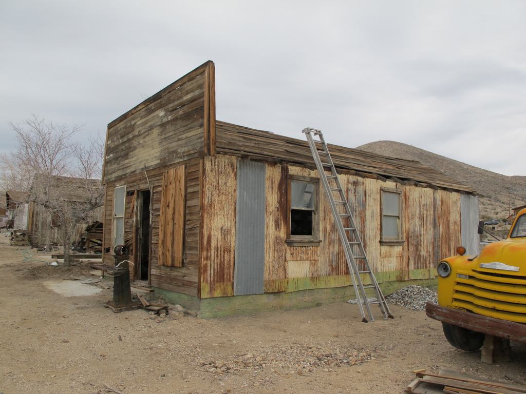
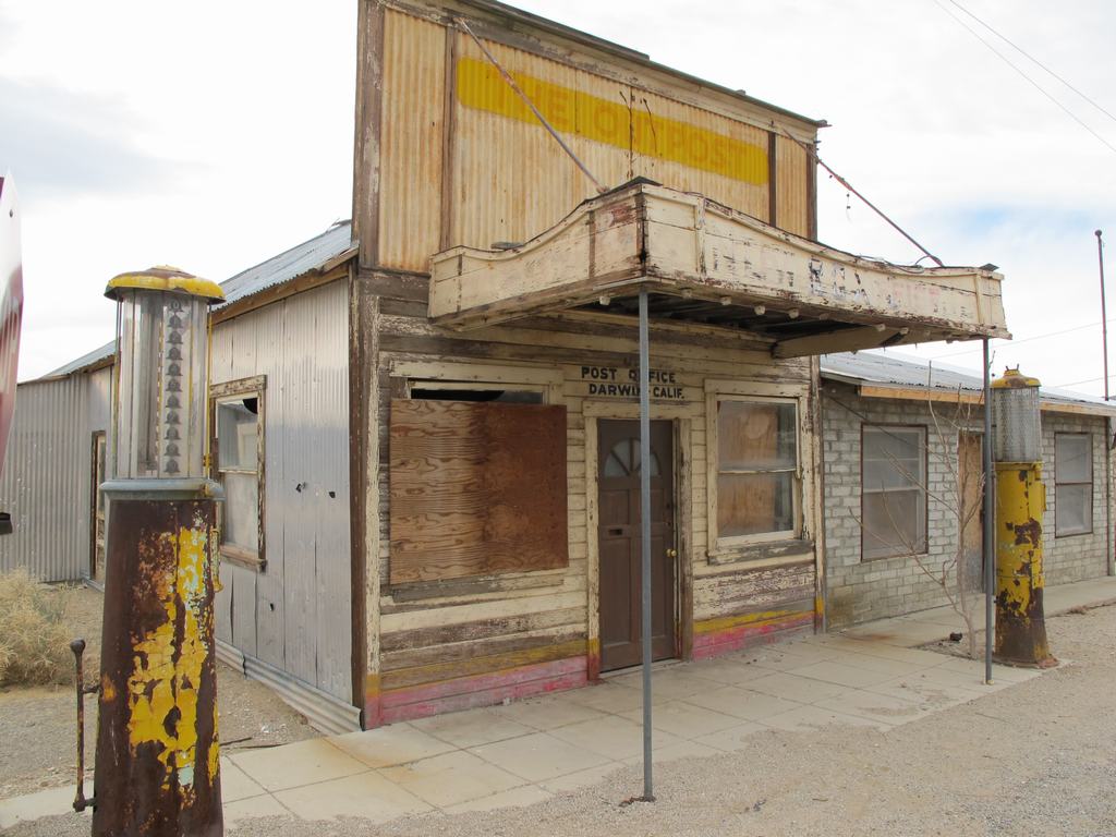
The town of Darwin was once a bustling mining town but today it's more like a "living ghost town". It is a neat but eerie area, almost the feeling of the next zombie movie that Hollywood is set to film at. More then once the film, The Hills Have Eyes was mentioned. After stopping for some pictures of some of the buildings, we made our way over the surrounding hills and onto the trail that leads towards Darwin Falls. Off a side trail there is a little spot name China Garden Spring, which had some sort of mining setup there. There is a natural spring that forms a pond. It's a nice, quiet spot and was perfect for our last night. Later in the night it was a little windy but we were tucked away in our FWC, comfortable as could be. Breaking camp Sunday morning, we headed back out through Darwin and hit the road back home. The trip was great, shared with great people and with great weather. Well, as everyone wants to see, here are some pics. If you want to see all of the ones I took, click this link to our gallery for this trip, http://gallery.lisaandmike.org/saline14
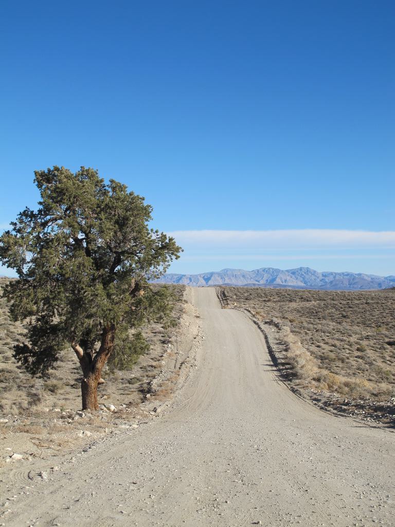
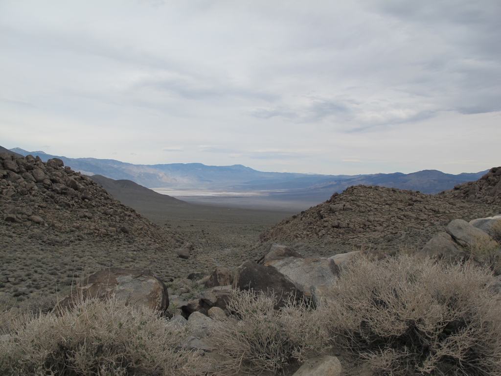
North end of Saline Valley road. We have to cross those mountains in the distance.
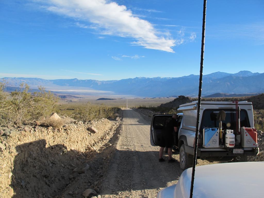
Having passed through the Inyo range, here is the long road down into Saline Valley. The "white" area to left center is the dune west of the spring, where we are heading.
Springs off in the distance (lower left area, in distance)
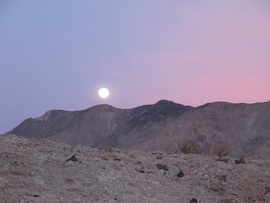
Got into camp and started setting up just as the moon was rising over the hills.
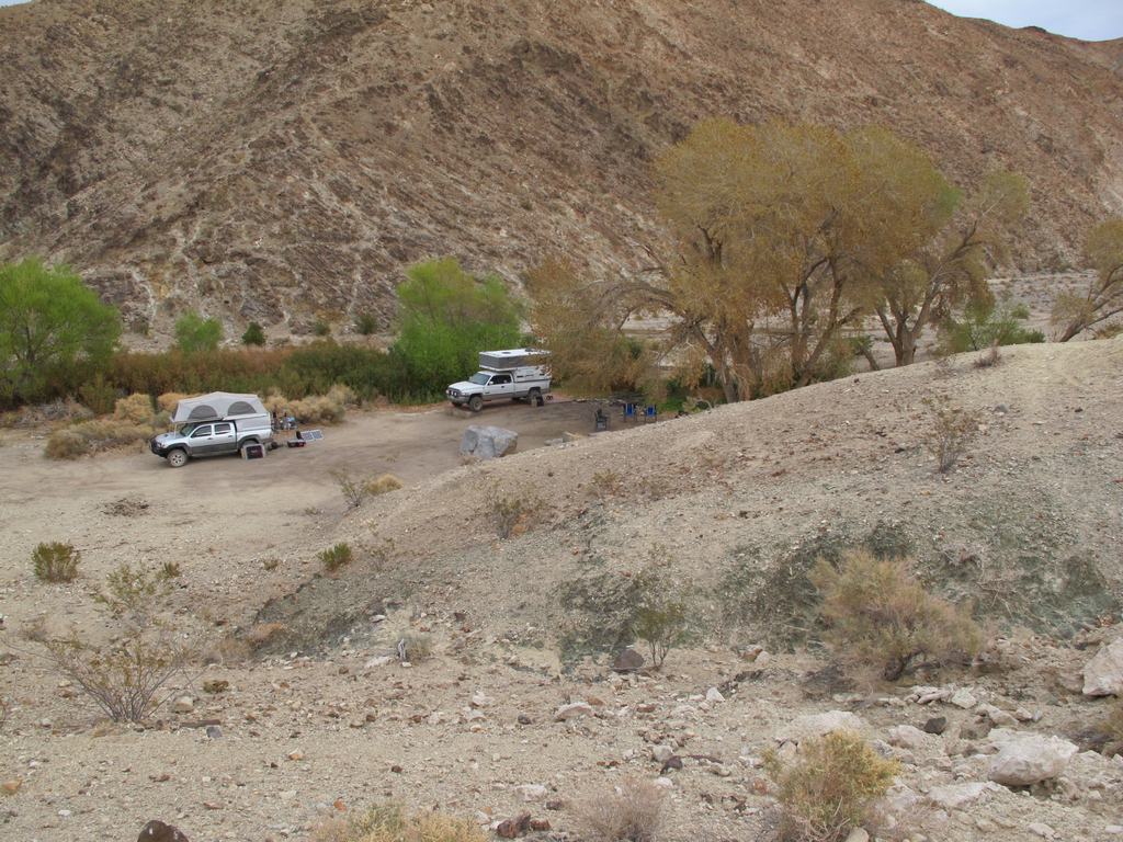
Our camp at Saline Valley
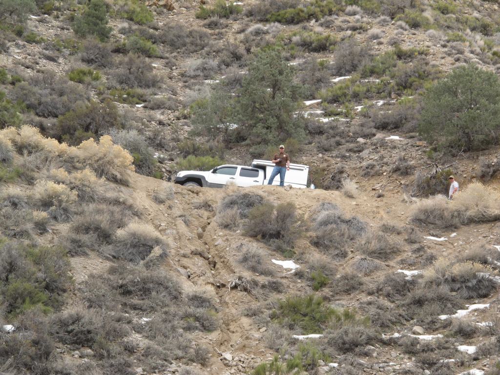
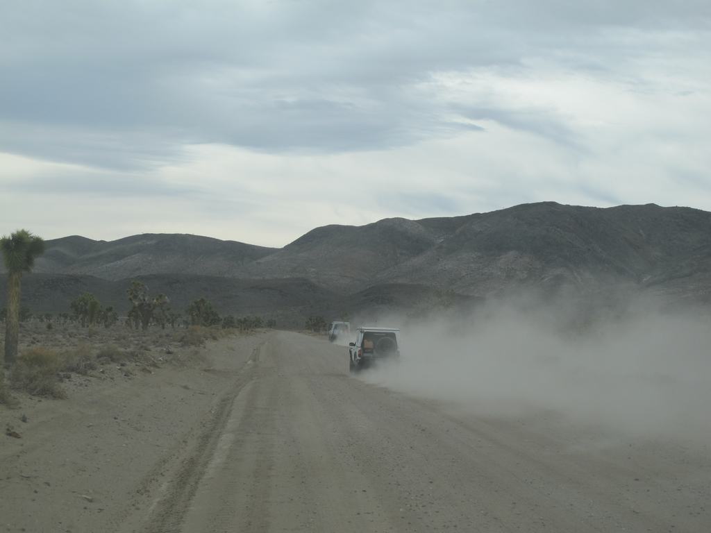
Dave and Mark's rigs (Tacoma's with Flipac's) with the palms at the springs

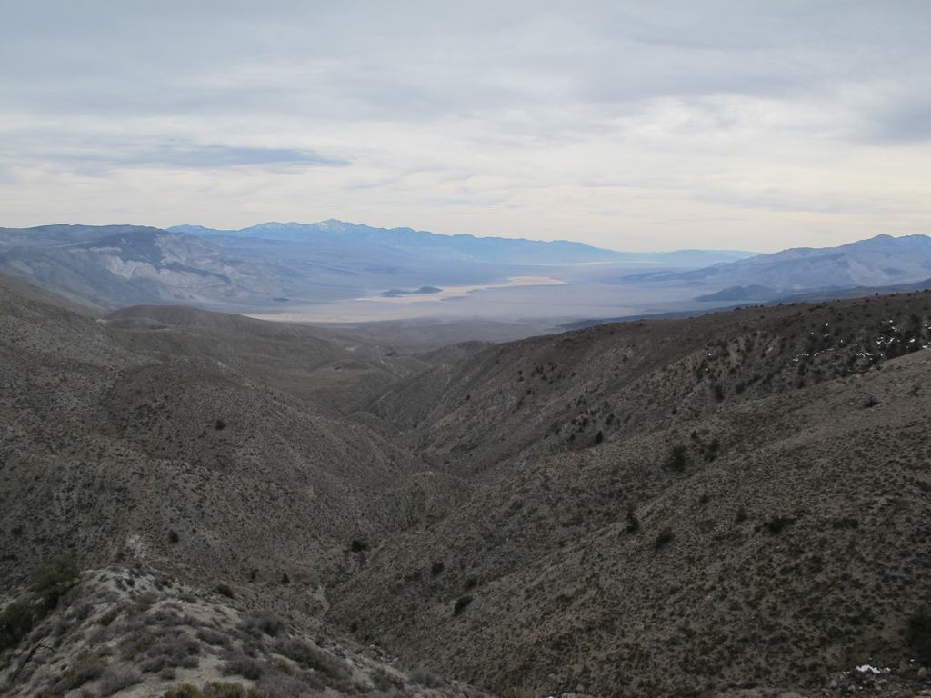
Heading up Grapevine pass, looking back at Saline Valley.
Looking up at one of the switchbacks.
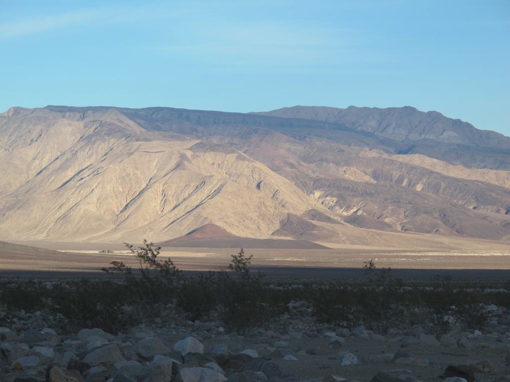
Up at the summit, looking down into Panamint Valley dunes.
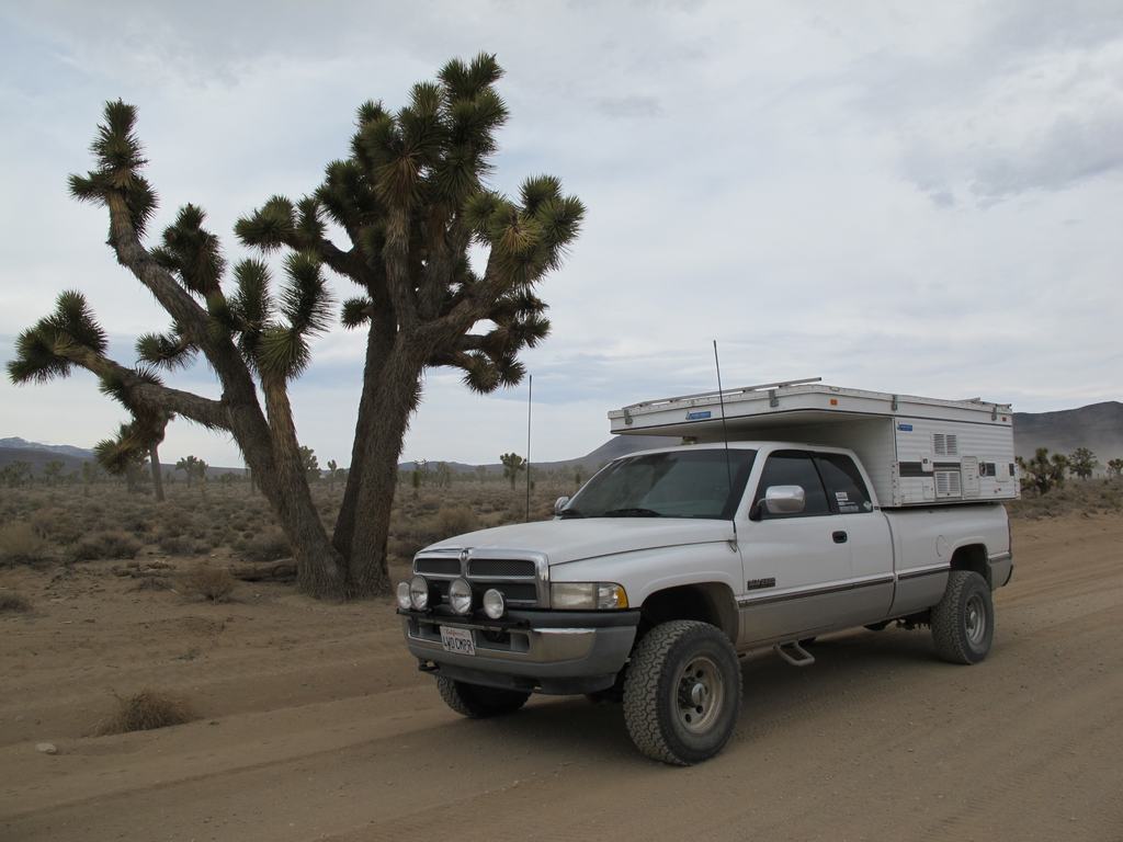
Heading across Lee Flat and the Joshua trees
In the town of Darwin
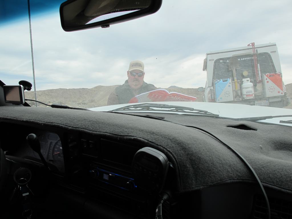
Checking the map... opps we are on the wrong road.
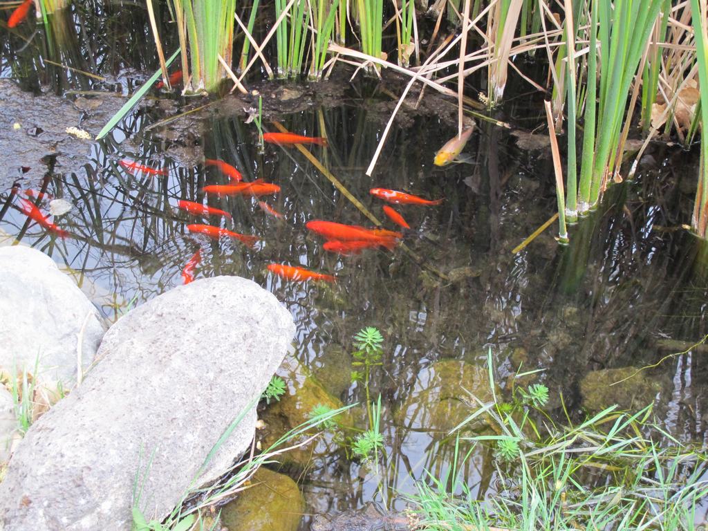
China Garden springs... with fish too.
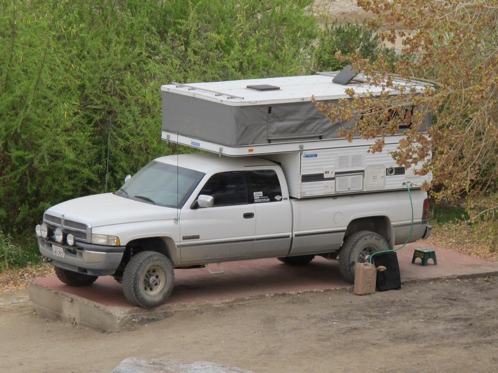
Old cement pad made for a perfect camp spot
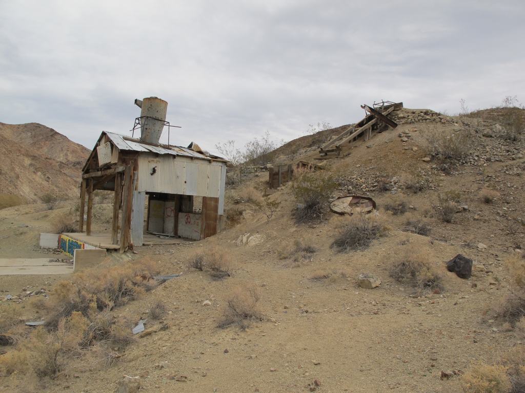
Old mine
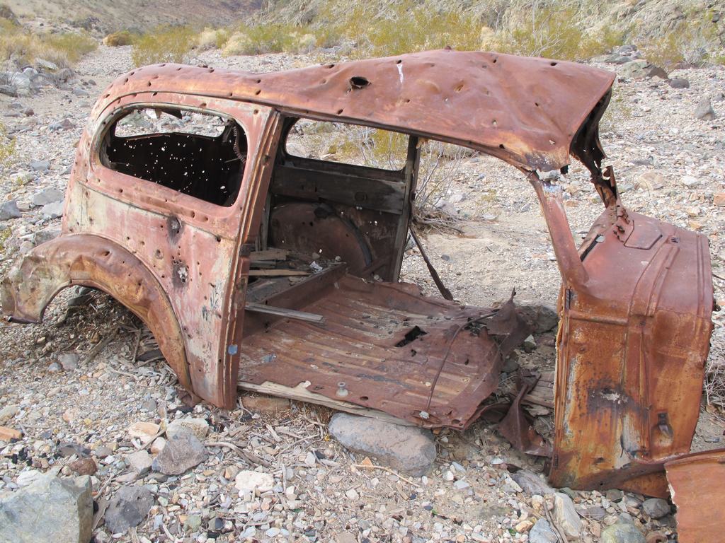
Some cars just never made it out... you have been warned!
Well, that's it. The gallery link before the pics have even more pics from the trip. Hope you enjoyed the report.
Winter storms had reeked havoc on both the north and south passes into Saline Valley. Actually many areas of Death Valley NP were damaged and impassible. As it was, federal emergency monies came in allowing grading of these two passes. Locals said they are the best they have been in decades. Stopping briefly for a few pics, we hit the road south. This route passes through the Inyo mountain range before dropping into the valley. It's about 50-60 miles and with a well prepped vehicle, takes a few hours. We passed one camper about 20 miles in and didn't see them arrive at the springs until 3 hours after we had. Arriving at the springs we were quite surprised by how many people where there. What we found out later is President's Day weekend is a huge "golf" and softball tournament which equated to all the extra people. After getting camp setup, Lisa and I headed down for a soak. The weather ended up being as perfect as we have ever had camping. Highs were mid 70's and lows in the low 50's. Light jackets around the campfire and never used the heater. Awesome!
Friday ended up being just a lazy, relaxing day, checking out the springs, soaking and napping. It was nice to just unplug and relax. Saturday morning was a late start and we all were packed up and heading out about 10:30am. Back out to Saline Valley road, we headed south. Passing the trail up into Death Valley, we were traveling through the Grapevine pass, an area we had not traveled before. With the recent road work, it was very nice but I can see how even a little bit of heavy rain would do a toll and make it impassible. Up near the summit, you get a great view of Panamint Valley and the dunes. Dropping down into Lee Flats, you are greeted with some beautiful Joshua trees everywhere. We continued our southward travels down to highway 190, which we took over to the Darwin junction.
The town of Darwin was once a bustling mining town but today it's more like a "living ghost town". It is a neat but eerie area, almost the feeling of the next zombie movie that Hollywood is set to film at. More then once the film, The Hills Have Eyes was mentioned. After stopping for some pictures of some of the buildings, we made our way over the surrounding hills and onto the trail that leads towards Darwin Falls. Off a side trail there is a little spot name China Garden Spring, which had some sort of mining setup there. There is a natural spring that forms a pond. It's a nice, quiet spot and was perfect for our last night. Later in the night it was a little windy but we were tucked away in our FWC, comfortable as could be. Breaking camp Sunday morning, we headed back out through Darwin and hit the road back home. The trip was great, shared with great people and with great weather. Well, as everyone wants to see, here are some pics. If you want to see all of the ones I took, click this link to our gallery for this trip, http://gallery.lisaandmike.org/saline14
North end of Saline Valley road. We have to cross those mountains in the distance.
Having passed through the Inyo range, here is the long road down into Saline Valley. The "white" area to left center is the dune west of the spring, where we are heading.
Springs off in the distance (lower left area, in distance)
Got into camp and started setting up just as the moon was rising over the hills.
Our camp at Saline Valley
Dave and Mark's rigs (Tacoma's with Flipac's) with the palms at the springs
Heading up Grapevine pass, looking back at Saline Valley.
Looking up at one of the switchbacks.
Up at the summit, looking down into Panamint Valley dunes.
Heading across Lee Flat and the Joshua trees
In the town of Darwin
Checking the map... opps we are on the wrong road.
China Garden springs... with fish too.
Old cement pad made for a perfect camp spot
Old mine
Some cars just never made it out... you have been warned!
Well, that's it. The gallery link before the pics have even more pics from the trip. Hope you enjoyed the report.