4Rocker
Observer
Since last spring, my dad and I have been planning on a trip out west to do some offroading and sight seeing. It was decided that northern Colorado could offer plenty of trails and destinations to enjoy and meet our goal of getting out in the wild and away from the confines of a schedule.
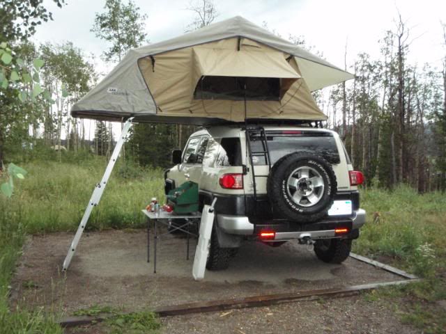
The trip began with a 16 hour drive from my apartment in WV to Winona, MN to my parent's house to pick up my dad and load the remaining gear that I had not already packed. Over the following two days, we made our way out to Fort Collins, CO where we stopped at the local ranger station to get maps and check on trail availibility. We set up camp that night at a campground on highway 14 west of Ft Collins.
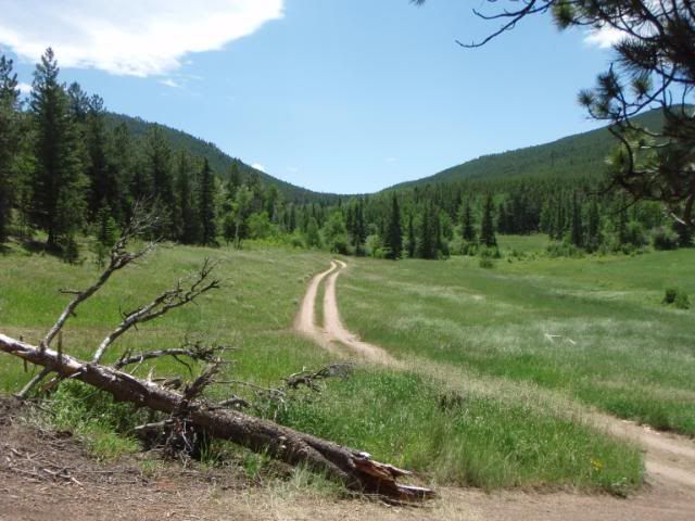
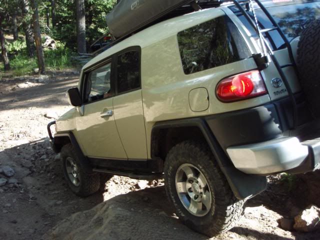
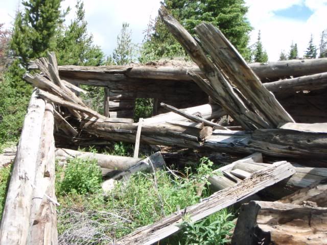
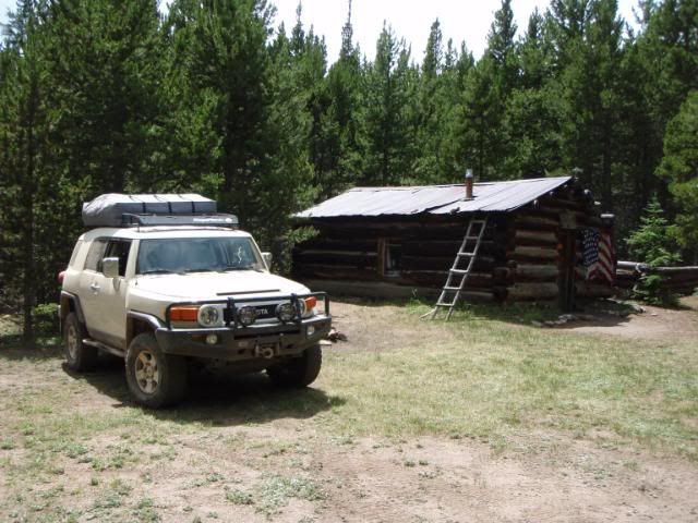
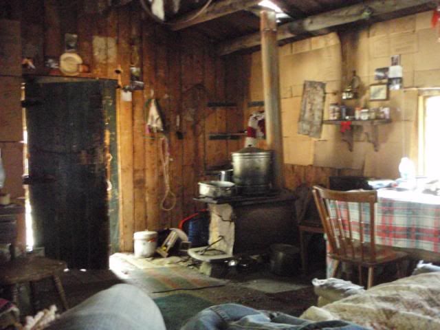
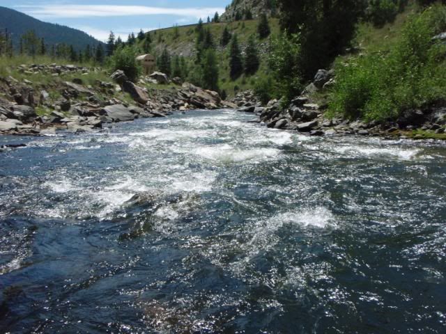
Day 1: We began the trip with Old Flowers Road (FS 152). This was an easy trail but was very scenic and was a great way to break into trail driving after days of nothing but highway driving. The trail was not technically challenging, but dips and the occasional mud puddle made paying attention to the trail important. The road offered scenic views and passes by at least one old cabin.
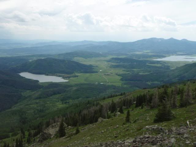
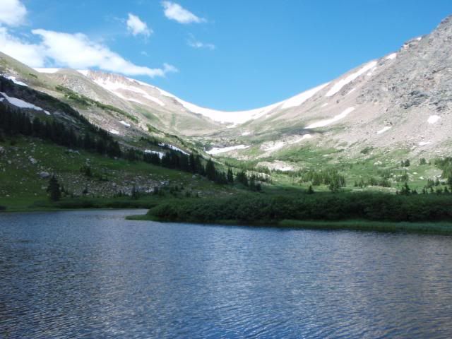
Next, we tackled Moody Hill (FS 513). I would call this a moderate trail, as it begins with a very steep and rocky climb up the mountain. At one point, the rear locker was necessary to get over a twisty shelf. The remainder of the trail is scenic and includes some great views of a nearby valley.
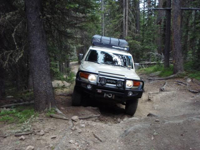
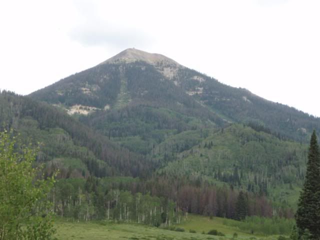
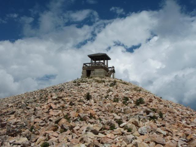
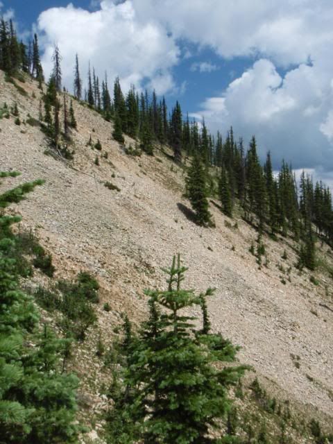
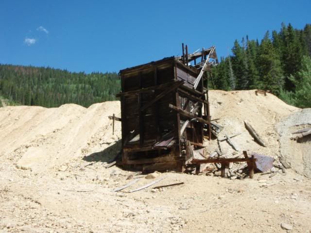
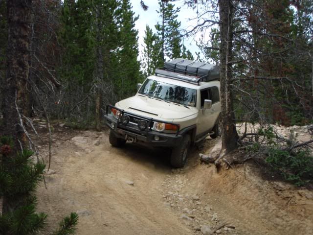
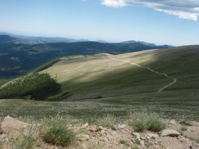
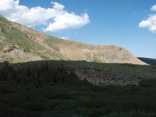
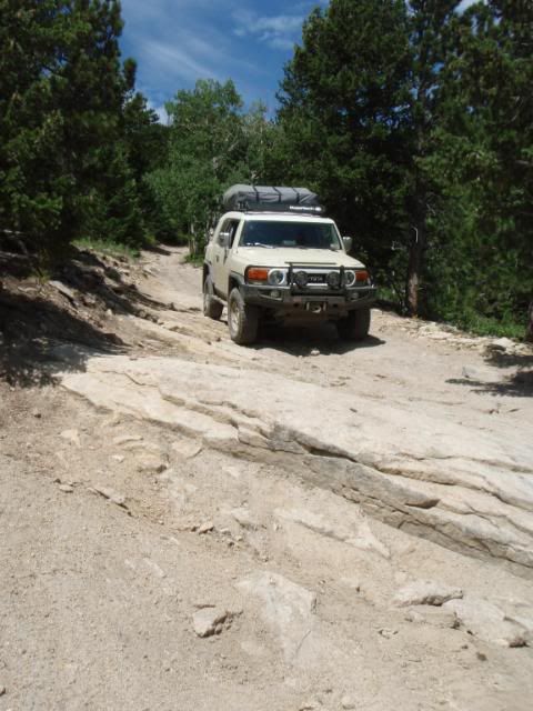
The final trail of the day summited Crystal Mountain (FS ???). This was a very difficult trail with many large rocks and ledges. The trail began with a series of ledges and rock surfaces to climb, and continues steeply up the hill.
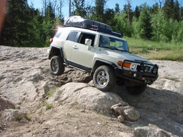
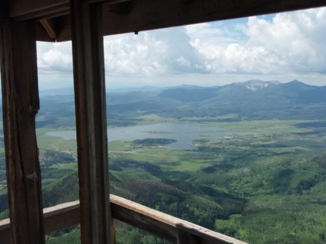
Towards the top of the mountain there is a long and steep climb to the summit that is covered in loose rocks. Care needed to be taken to keep momentum and avoid slipping on the loose rock. The mountain earns its name from the large patches of quartz and mica that are exposed at the top. A short climb to the top of a rock allowed for some spectacular views from the highest point on the mountain. After carefully descending the trail, we found a campsite off the trail in the forest.
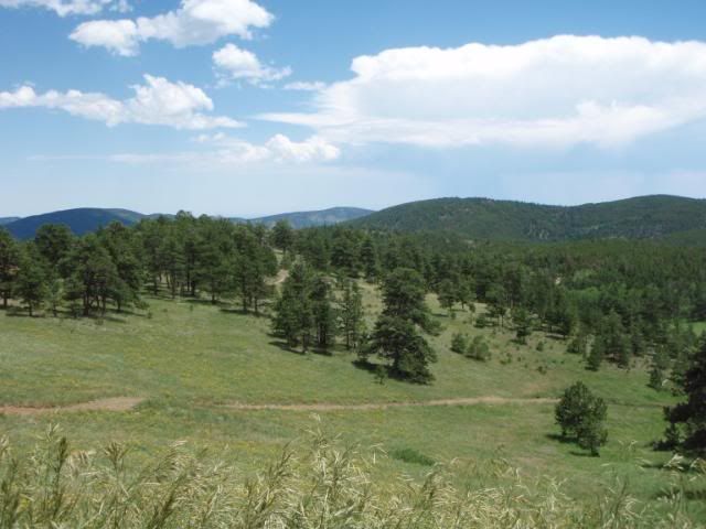
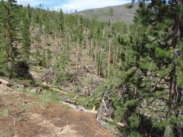
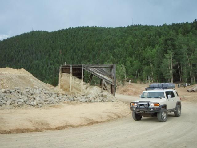
Day 2: The next day we continued exploring service roads in the area. We drove a loop consisting of FS 259/263 that was easy and scenic. We then continued down the road and drove FS 142. This trail looked good on the map, but in reality was a very narrow trail with many tight pine trees. By the end of the loop, my floor was quite full of pine needles that had been knocked into the car. I think about 90% of the entire trip's pinstriping came from this trail.
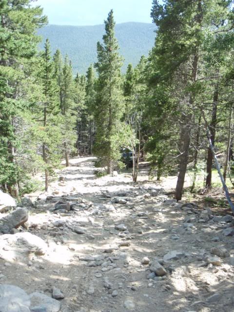
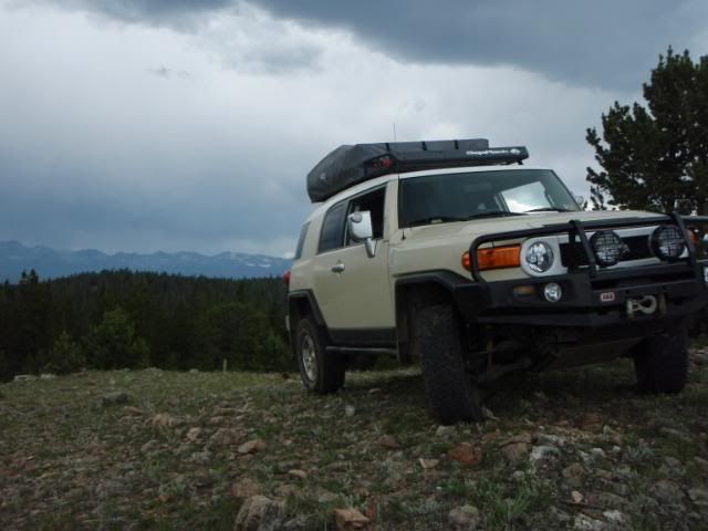
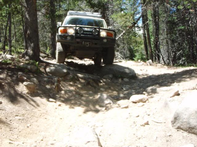
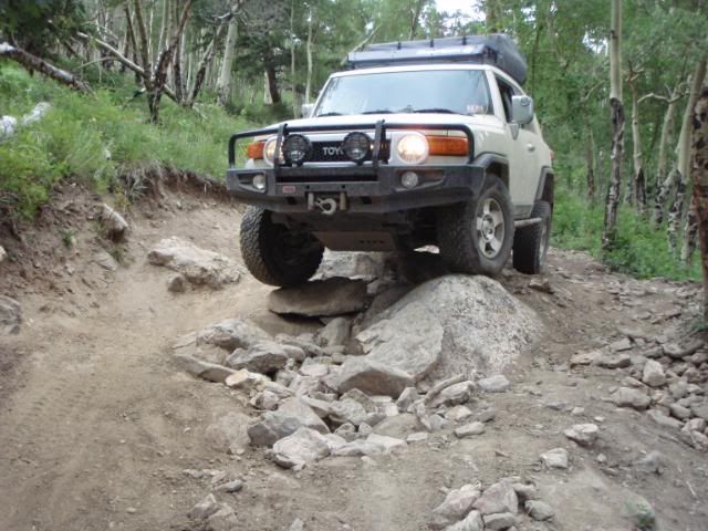
Once out of the pines, we drove a trail marked as FS 517. This ended up being an excellent but difficult trail. Most of the trail was a long, continuous rock crawl with many large rocks that required constant attention and careful driving. The only vehicles we saw on this trail were a couple ATVs that looked quite surprised to see us that far along the trail.
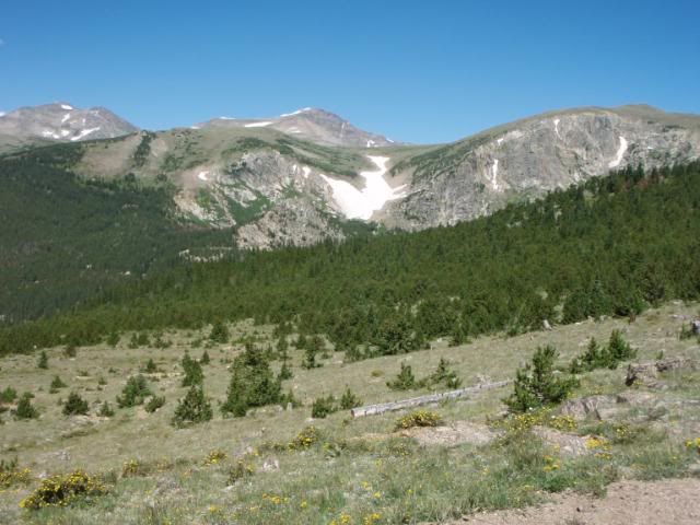
A few miles in, there was an offshoot to the left that looked like an challenging hill climb, so we drove it and ended up on top of a small field near a peak with some great views. The weather looked about ready to downpour, so we drove back down and continued on with the remainder of the trail. We continued down FS 173, an easy gravel trail, and made camp for the night.
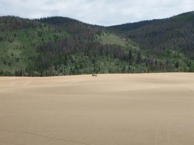
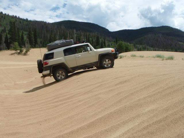
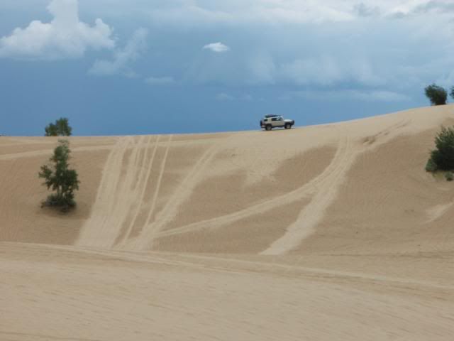
Day 3: We continued west to the North Sand Dunes area north of Walden. The dunes were formed by sand depositing from the wind at the base of the mountain range. The dunes are open to trucks and ATVs and were an absolute blast to drive. Because we were there mid-week, there was no one else in the area save for 4 ATVs that we only saw once.
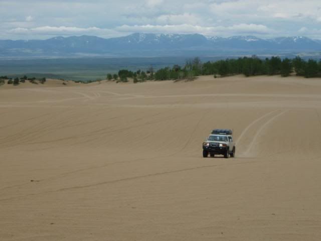
We drove the dunes for a few hours, and during that time we were driving an ATV trail near the fringe of the sand and in trying to get back to the main area, drove across a narrow ridge of sand leading to a hill up to the open area. While crossing the narrow ridge, the truck began sliding to one side, and I had to stop before the truck got any more sideways.
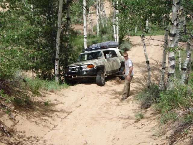
After a bit of shoveling and an analysis of the situation, we decided that the best option would be to winch to get back on top of the sand. We ran a winchline off to the side to get the truck back on the ridge, and then reset the line straight ahead (almost at the limit of the cable) to pull the truck forward and up onto the sand where it was able to drive to the top of the hill on its own power.
We drove around a bit more, aired back up, and continued on over Rabbit Ear Pass to Steamboat Springs and north to the Steamboat Lake/ Hahn's Peak area for the night.
...Continued in part 2.
The trip began with a 16 hour drive from my apartment in WV to Winona, MN to my parent's house to pick up my dad and load the remaining gear that I had not already packed. Over the following two days, we made our way out to Fort Collins, CO where we stopped at the local ranger station to get maps and check on trail availibility. We set up camp that night at a campground on highway 14 west of Ft Collins.
Day 1: We began the trip with Old Flowers Road (FS 152). This was an easy trail but was very scenic and was a great way to break into trail driving after days of nothing but highway driving. The trail was not technically challenging, but dips and the occasional mud puddle made paying attention to the trail important. The road offered scenic views and passes by at least one old cabin.
Next, we tackled Moody Hill (FS 513). I would call this a moderate trail, as it begins with a very steep and rocky climb up the mountain. At one point, the rear locker was necessary to get over a twisty shelf. The remainder of the trail is scenic and includes some great views of a nearby valley.
The final trail of the day summited Crystal Mountain (FS ???). This was a very difficult trail with many large rocks and ledges. The trail began with a series of ledges and rock surfaces to climb, and continues steeply up the hill.
Towards the top of the mountain there is a long and steep climb to the summit that is covered in loose rocks. Care needed to be taken to keep momentum and avoid slipping on the loose rock. The mountain earns its name from the large patches of quartz and mica that are exposed at the top. A short climb to the top of a rock allowed for some spectacular views from the highest point on the mountain. After carefully descending the trail, we found a campsite off the trail in the forest.
Day 2: The next day we continued exploring service roads in the area. We drove a loop consisting of FS 259/263 that was easy and scenic. We then continued down the road and drove FS 142. This trail looked good on the map, but in reality was a very narrow trail with many tight pine trees. By the end of the loop, my floor was quite full of pine needles that had been knocked into the car. I think about 90% of the entire trip's pinstriping came from this trail.
Once out of the pines, we drove a trail marked as FS 517. This ended up being an excellent but difficult trail. Most of the trail was a long, continuous rock crawl with many large rocks that required constant attention and careful driving. The only vehicles we saw on this trail were a couple ATVs that looked quite surprised to see us that far along the trail.
A few miles in, there was an offshoot to the left that looked like an challenging hill climb, so we drove it and ended up on top of a small field near a peak with some great views. The weather looked about ready to downpour, so we drove back down and continued on with the remainder of the trail. We continued down FS 173, an easy gravel trail, and made camp for the night.
Day 3: We continued west to the North Sand Dunes area north of Walden. The dunes were formed by sand depositing from the wind at the base of the mountain range. The dunes are open to trucks and ATVs and were an absolute blast to drive. Because we were there mid-week, there was no one else in the area save for 4 ATVs that we only saw once.
We drove the dunes for a few hours, and during that time we were driving an ATV trail near the fringe of the sand and in trying to get back to the main area, drove across a narrow ridge of sand leading to a hill up to the open area. While crossing the narrow ridge, the truck began sliding to one side, and I had to stop before the truck got any more sideways.
After a bit of shoveling and an analysis of the situation, we decided that the best option would be to winch to get back on top of the sand. We ran a winchline off to the side to get the truck back on the ridge, and then reset the line straight ahead (almost at the limit of the cable) to pull the truck forward and up onto the sand where it was able to drive to the top of the hill on its own power.
We drove around a bit more, aired back up, and continued on over Rabbit Ear Pass to Steamboat Springs and north to the Steamboat Lake/ Hahn's Peak area for the night.
...Continued in part 2.
")