When driving outside the U.S. what is the best navigation equipment to use on expedition driving?
Background: Am 68 years old and technology isn’t my best subject matter. Own almost every Apple product because they are simple and work.
We have been driving the world since 28 May 2016. So far 4 continents and 22 countries. For the last two years most our travel has been in Europe or U.S. and our phones’ Google maps or Apple maps have worked for the most part. Had a Garmin that worked fairly well in Australia but was worthless in India & Nepal – but so were Google and Apple maps. What can I say but we were able to drive the Spiti-Kinnaur Loop (10 days at an average of about 12,000 ft) and for the most part didn’t get lost – I know there is only one road/trail but parts were washed out and we left the road/trail to go birding.
In early Feb. 2020 we will ferry from Spain to Morocco and spend the next 3 months exploring Morocco and the Western Sahara. Maybe go as far as The Gambia (and if we do we will be gone longer).
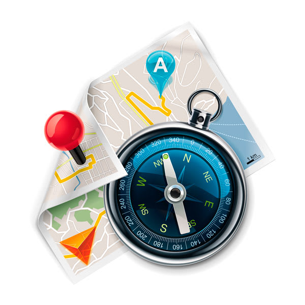
Looking for a recommendation on a navigational system and maps that don’t require cell service.
And as long as I am asking for help; how and where would you mount the device(s)?
We drive a 2014 Toyota 4Runner that has been modified for our driving needs.
(P.S. Went on line to Garmin to discuss their new Overlander – that I can’t afford – the person I chatted with didn’t know Garmin had maps outside the U.S. Talk about a company that has hit rock bottom and keeps on digging a deeper hole.)
Background: Am 68 years old and technology isn’t my best subject matter. Own almost every Apple product because they are simple and work.
We have been driving the world since 28 May 2016. So far 4 continents and 22 countries. For the last two years most our travel has been in Europe or U.S. and our phones’ Google maps or Apple maps have worked for the most part. Had a Garmin that worked fairly well in Australia but was worthless in India & Nepal – but so were Google and Apple maps. What can I say but we were able to drive the Spiti-Kinnaur Loop (10 days at an average of about 12,000 ft) and for the most part didn’t get lost – I know there is only one road/trail but parts were washed out and we left the road/trail to go birding.
In early Feb. 2020 we will ferry from Spain to Morocco and spend the next 3 months exploring Morocco and the Western Sahara. Maybe go as far as The Gambia (and if we do we will be gone longer).
Looking for a recommendation on a navigational system and maps that don’t require cell service.
And as long as I am asking for help; how and where would you mount the device(s)?
We drive a 2014 Toyota 4Runner that has been modified for our driving needs.
(P.S. Went on line to Garmin to discuss their new Overlander – that I can’t afford – the person I chatted with didn’t know Garmin had maps outside the U.S. Talk about a company that has hit rock bottom and keeps on digging a deeper hole.)
")