turbodb
Well-known member
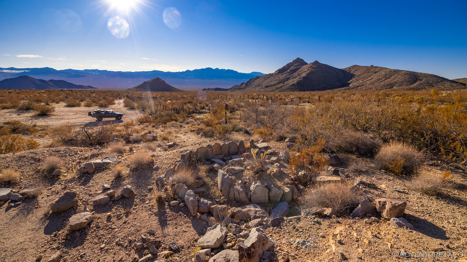
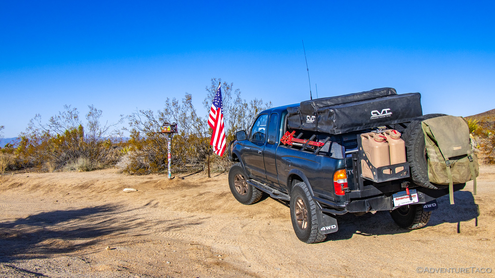
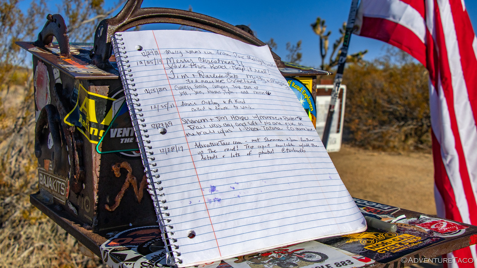
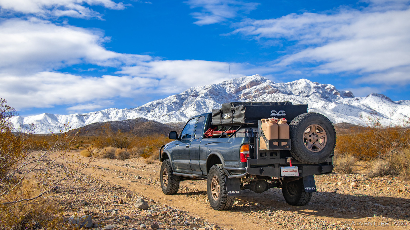
Mojave Redemption #1 - Off to an Ominous Start
Part of the Mojave Redemption (Dec 2019) trip.
Spoiler: I need to go back.

The First Day (Christmas)
It was Christmas day, and for us, that meant we were kicking off our next adventure by starting the two-day trek from the Seattle area to southern California - via Oregon, Idaho, and Nevada. We'd originally planned to make the 20+ hour drive in a single day, but I'd heard that it was supposed to rain the day after Christmas, so we decided that a two-day journey would allow us to relax a bit, and avoid the weather when we were in the preserve.
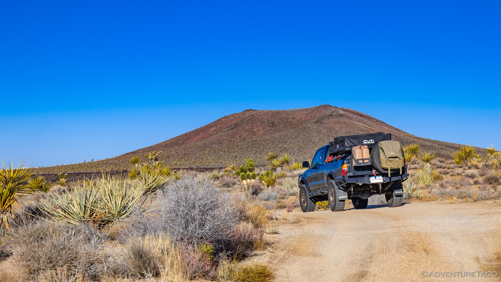
Even so, with two 10-hour days of driving in front of us, we didn't stop to smell the roses. We did find a closed truck scale however, and eager to see what the truck weighed after its winter weight loss program, I pulled in. At 5350 lbs, it's definitely a lot lower than the 5800 I'd run into previously. Of course, I wasn't in the truck for this photo, so... ?

From there, our next stop was in Boise for fuel. Still a couple hours until dinner, it was already dark and the snow was starting to fall. It was a white Christmas - and it was cold!

Eventually, we reached Twin Falls. We'd been racing to get there for the sole purpose of eating dinner. See, with it being Christmas, @mrs.turbodb had smartly called around to find a place that was open - as it turned out, there weren't many (including Chinese that were closed) and those that were, planned to close early.
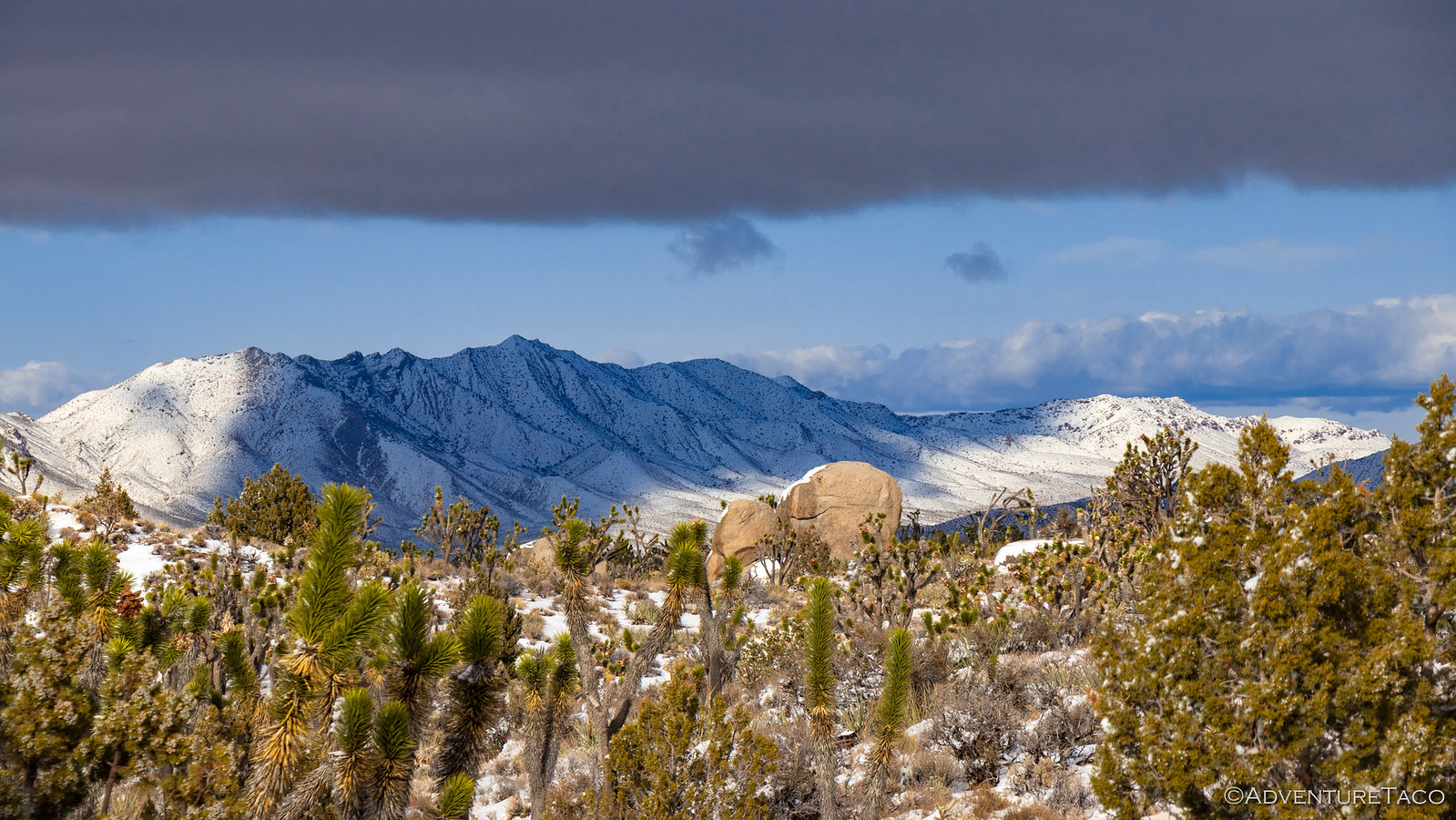
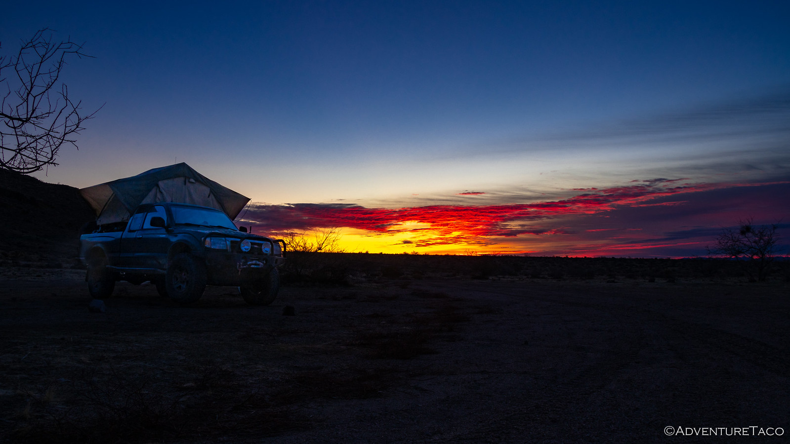
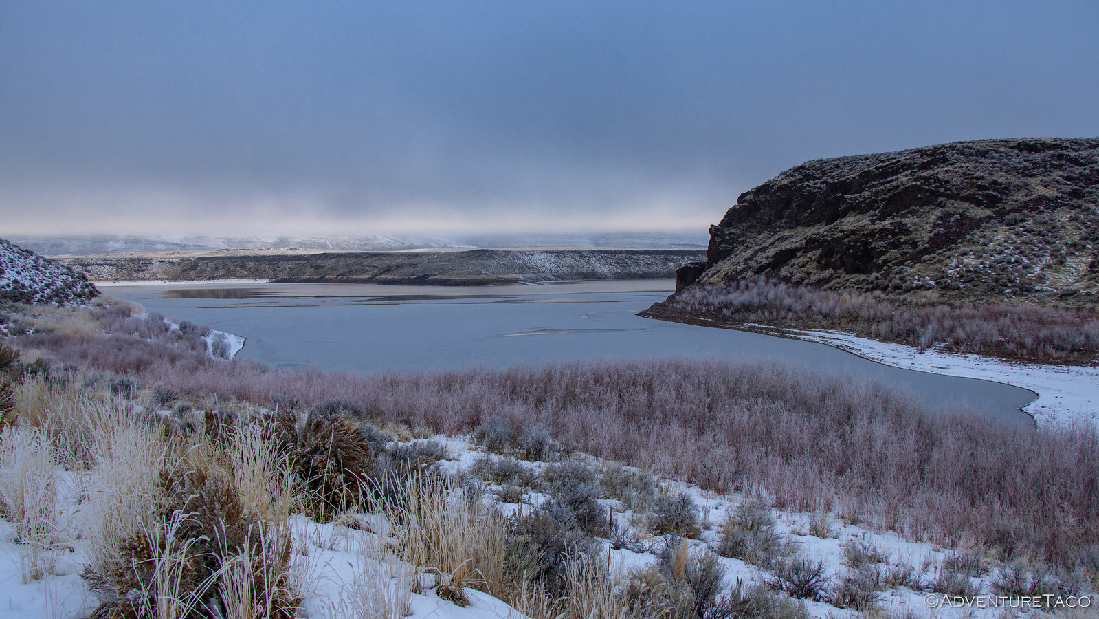
We missed dinner by 15 minutes! But, that was OK - having sat in the truck all day, neither of us was all that hungry. And, more worrying than the dinner situation was camp. I'd found a place - at Grey's Landing, near the Idaho-Nevada border - that I thought would be just perfect. It was away from the highway, and reasonably private. Of course, I forgot to check the elevation, and as we arrived, I knew I'd made a mistake. Not only was it cold, but there were six inches of snow on the ground and the lake itself was completely frozen over!
There wasn't much we could do - we'd be in the high desert for much of the rest of the trip - so we found what we thought would be a nice overlook in the morning, set up the tent, and climbed up to snuggle under the covers.
The Next Day (Thursday, the Day After Christmas)
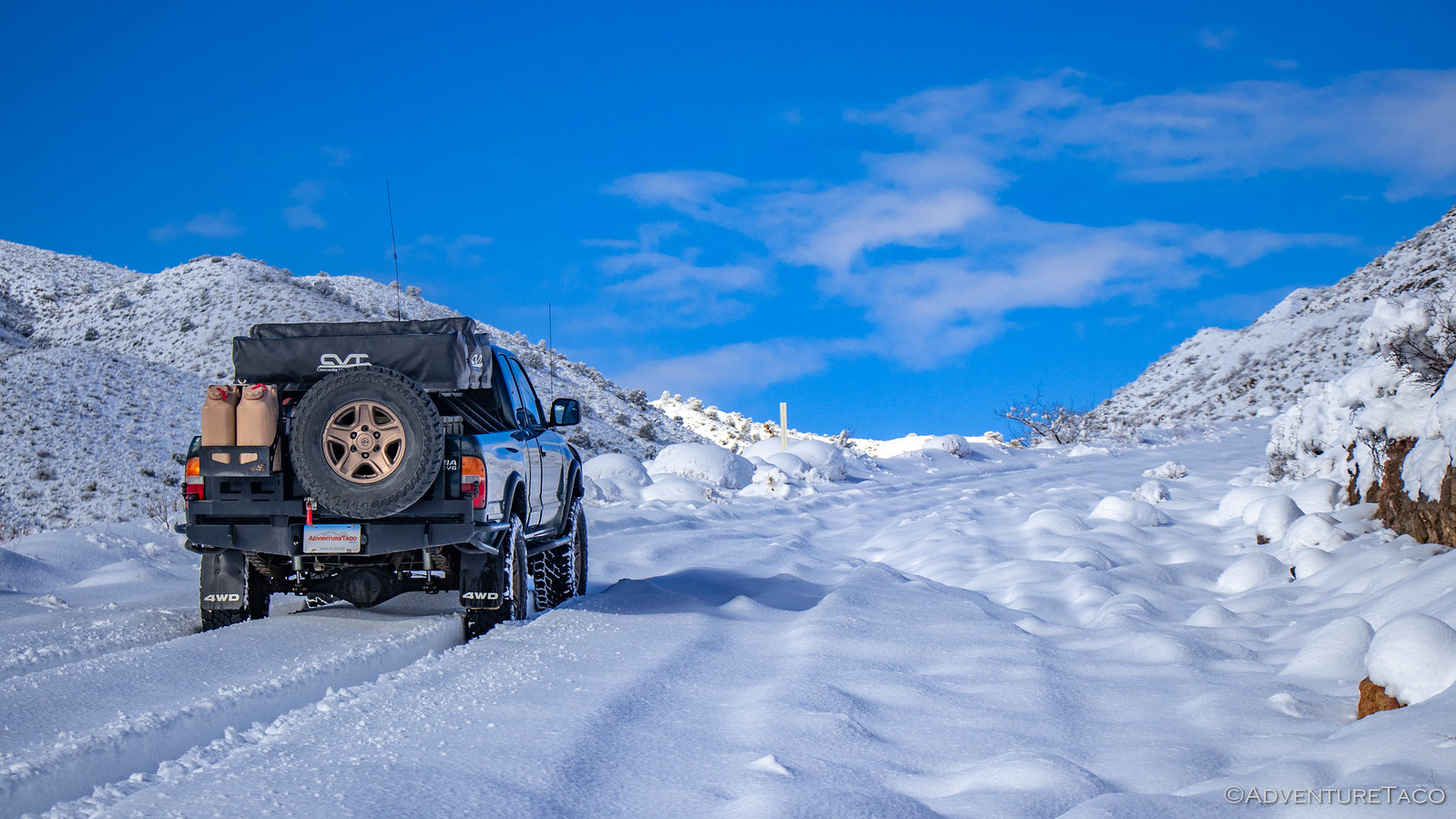
It was 23°F when we woke up at 6:00am the next morning - to the soft tapping of snow drifting down onto the tent. We huddled in bed and evaluated the situation. We were definitely winning - let's list the ways.
We did the only thing we could - put on every article of clothing we'd brought with us into the tent, and headed out to get ready to go. Without breakfast - there was no way we were going to stand around for any longer than we needed to.
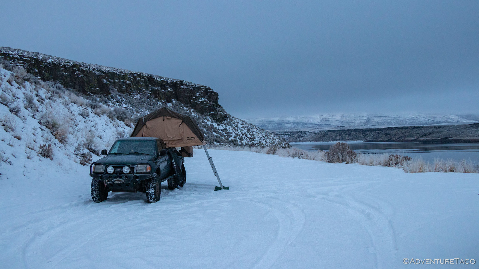
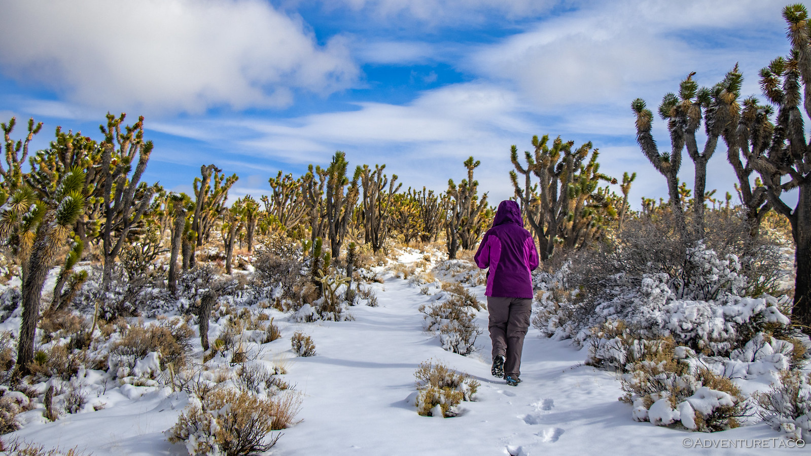
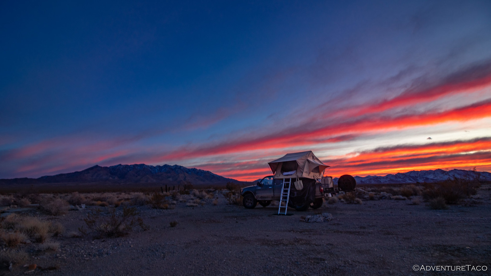
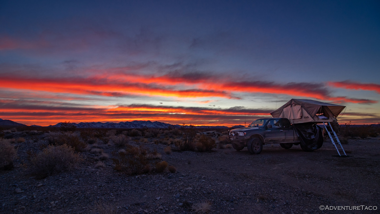
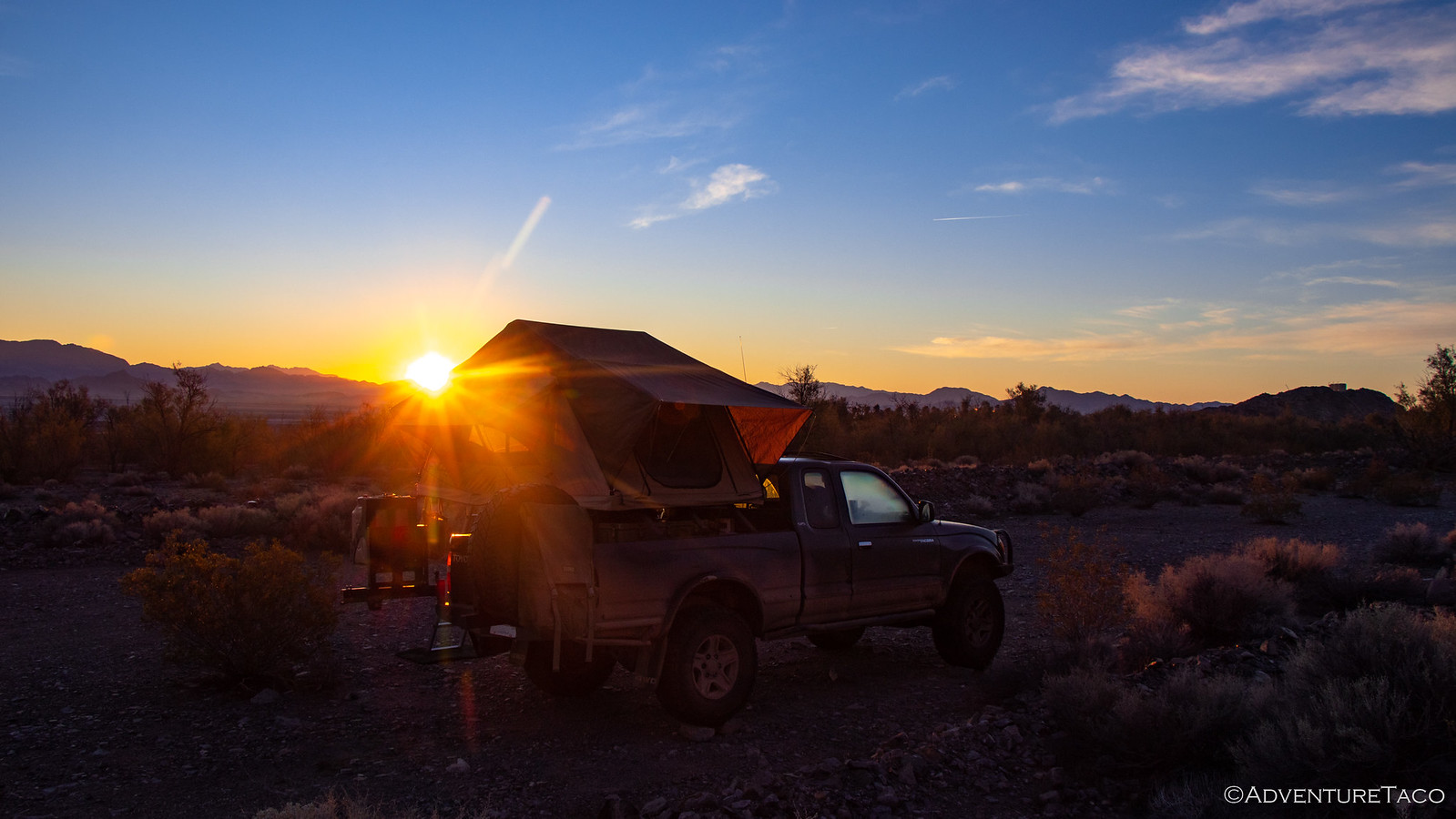
I got as much snow and ice off the tent as possible, and folded it up just as the light snow stopped. Of course! With the engine running and @mrs.turbodb warming up inside, I took a few more quick photos of our camp - it was actually quite pretty, and likely crowded in more temperate months.
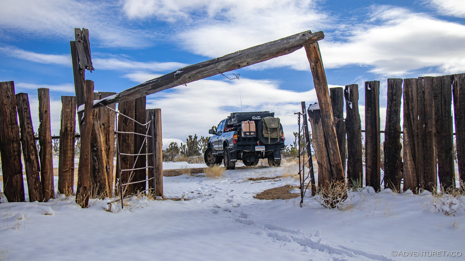
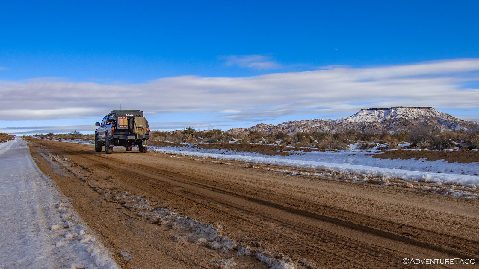
Before long we were making our way back out to US-93, the clouds starting to part and blue sky poking through. It looked to be the start of a beautiful day!

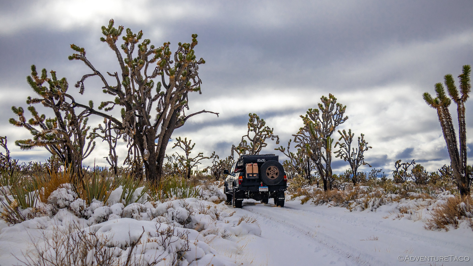
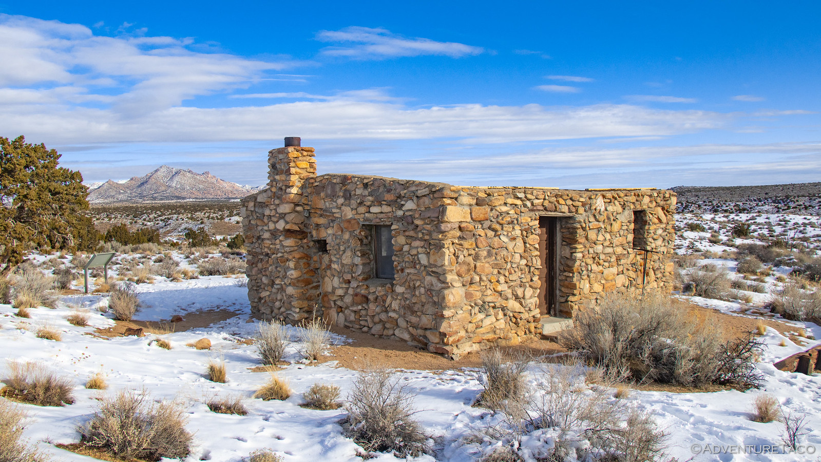
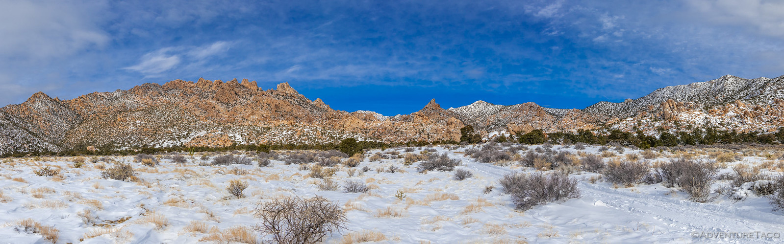
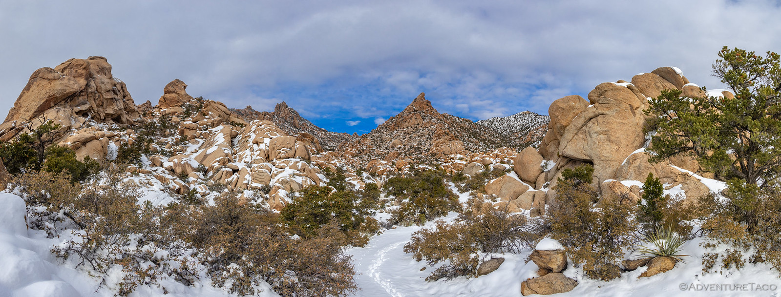
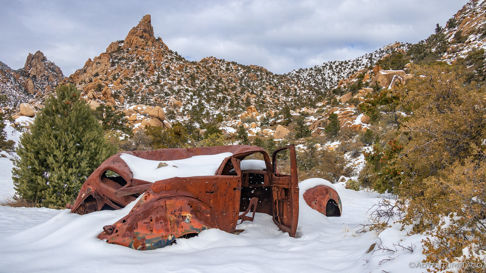
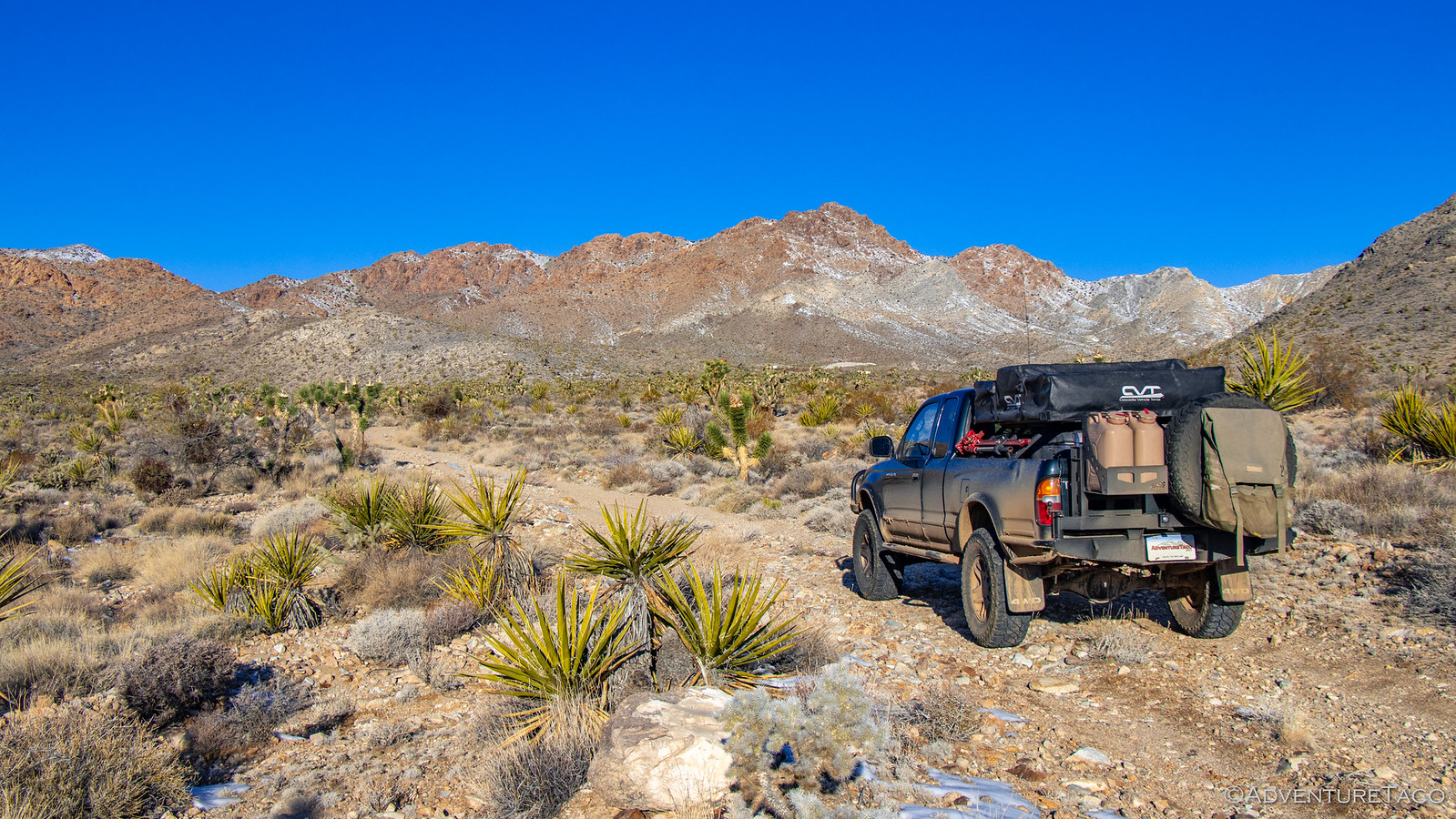
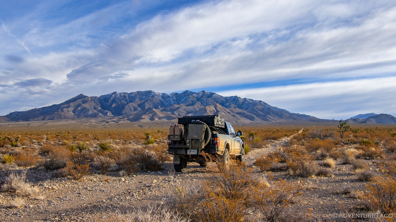
The plan for the rest of the day was simple actually - drive south on US-93 to Las Vegas (or, actually, Primm), Nevada. Along the way, we passed by the camp site Mike @Digiratus and I had used on our first night of the F.U. Rain trip, and like everything else, it was covered in snow.
The snow slowly abated - and turned to rain - as we came down out of the high desert into Las Vegas. It was early evening, and as we looked for somewhere to stop for dinner, we were greeted with an unwelcome notice.

Our bellies full, we promptly ignored all of the Nevada DOT signs and set out on I-15 for Primm. Our hope, of course, was that by the time we got there - maybe 6:00pm or so - that the freeway would be open again.
It was not. In fact, the last 5 miles to Primm were a parking lot on I-15 and we found ourselves reading our Kindles and napping in our lane of traffic for a few hours, until we finally made it to the Primm exit. Everyone else was just turning around and heading back to Las Vegas, but we had nowhere to go so we found ourselves a nice truck parking lot in the back of a local casino, and opened the tent in the rain. Fun times!
We read a bit more, and eventually dozed off to sleep - our hope that the sunny weather forecasted for the next day would materialize, and we'd be able to get on our way.
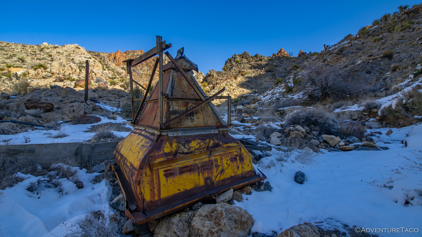
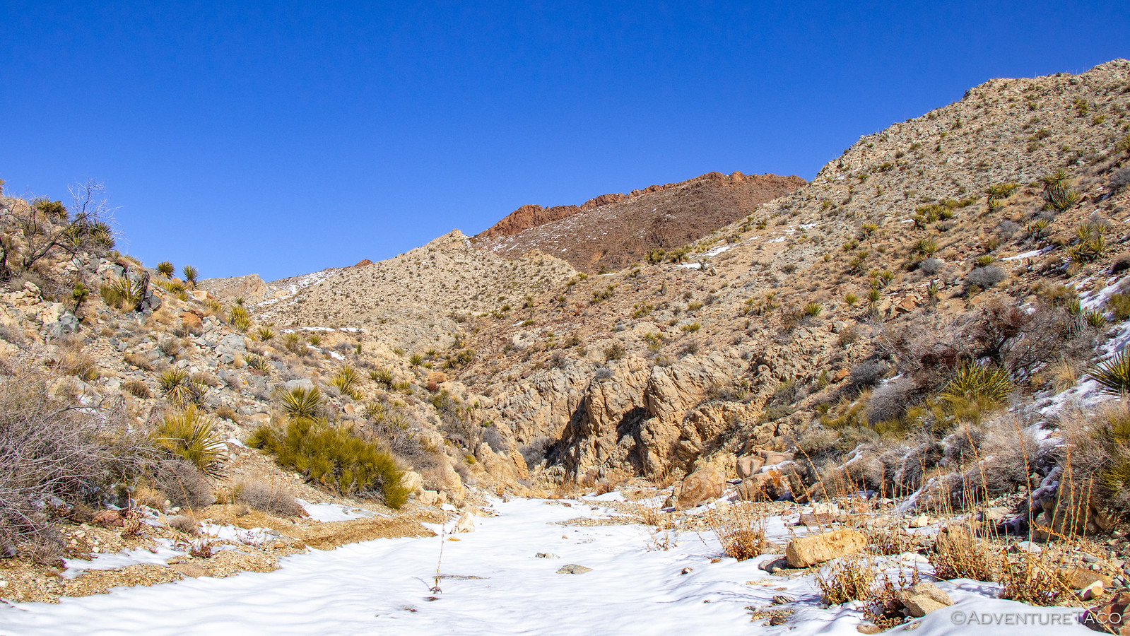
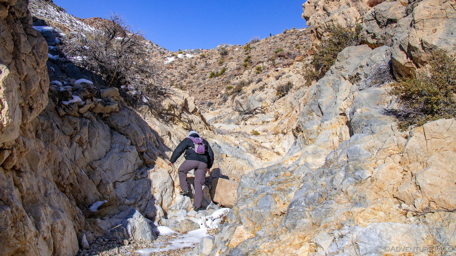
Though, in the back of our minds was the nagging question - if there'd been enough snow to close the highway, were we going to be totally screwed when we tried to venture off into the wilderness?!
Part of the Mojave Redemption (Dec 2019) trip.
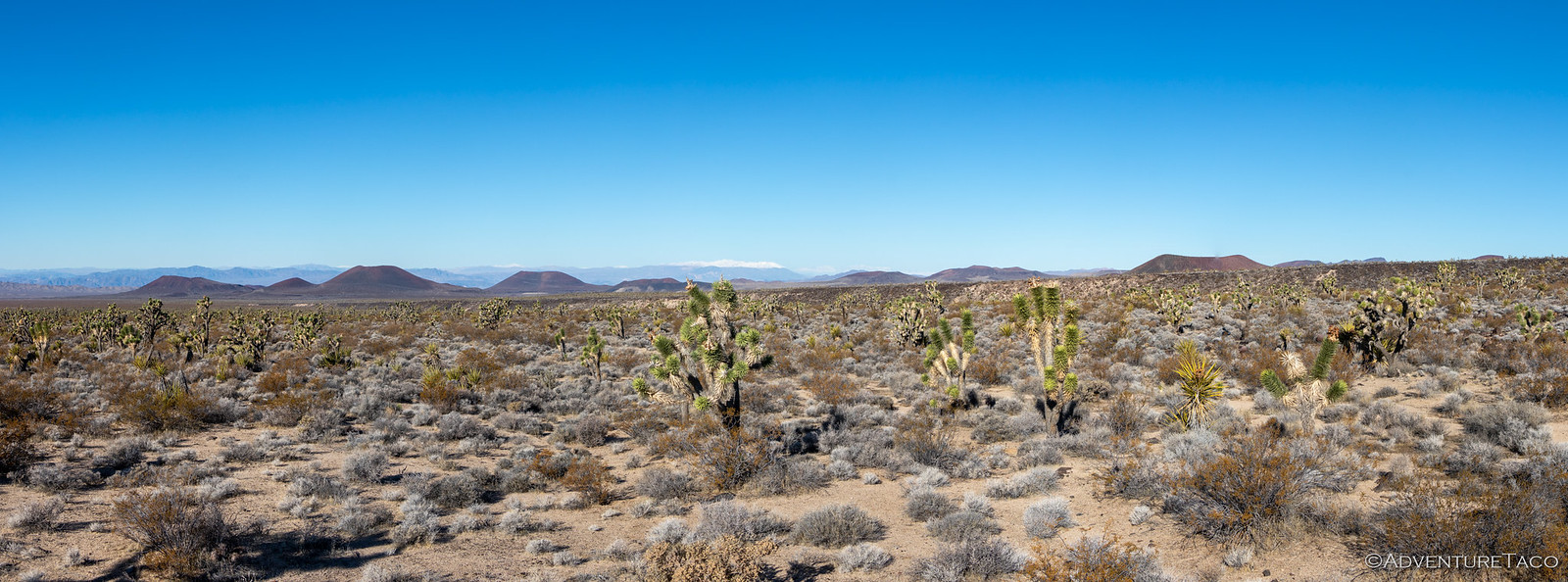
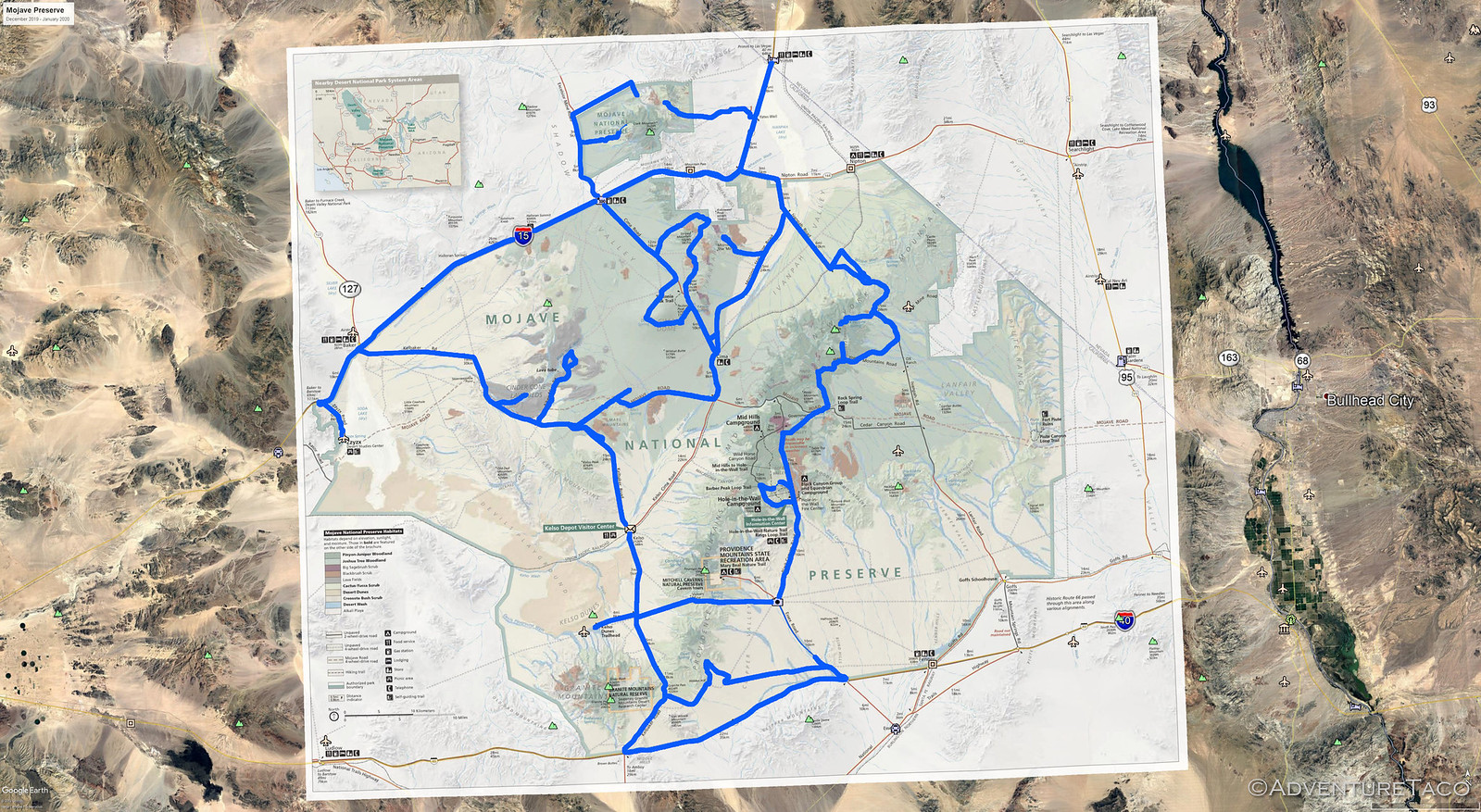
Famous last words! said:This trip is going to be EPIC. In fact, once we complete our 8 days in the Mojave National Preserve, we'll probably be done exploring the area - we'll hit all the important bits, and will have no reason to go back - except to show of the coolest areas to our friends.
Spoiler: I need to go back.
Just look at all the cool places we'll go (in blue).
The First Day (Christmas)
It was Christmas day, and for us, that meant we were kicking off our next adventure by starting the two-day trek from the Seattle area to southern California - via Oregon, Idaho, and Nevada. We'd originally planned to make the 20+ hour drive in a single day, but I'd heard that it was supposed to rain the day after Christmas, so we decided that a two-day journey would allow us to relax a bit, and avoid the weather when we were in the preserve.
Even so, with two 10-hour days of driving in front of us, we didn't stop to smell the roses. We did find a closed truck scale however, and eager to see what the truck weighed after its winter weight loss program, I pulled in. At 5350 lbs, it's definitely a lot lower than the 5800 I'd run into previously. Of course, I wasn't in the truck for this photo, so... ?
From there, our next stop was in Boise for fuel. Still a couple hours until dinner, it was already dark and the snow was starting to fall. It was a white Christmas - and it was cold!
Eventually, we reached Twin Falls. We'd been racing to get there for the sole purpose of eating dinner. See, with it being Christmas, @mrs.turbodb had smartly called around to find a place that was open - as it turned out, there weren't many (including Chinese that were closed) and those that were, planned to close early.
We missed dinner by 15 minutes! But, that was OK - having sat in the truck all day, neither of us was all that hungry. And, more worrying than the dinner situation was camp. I'd found a place - at Grey's Landing, near the Idaho-Nevada border - that I thought would be just perfect. It was away from the highway, and reasonably private. Of course, I forgot to check the elevation, and as we arrived, I knew I'd made a mistake. Not only was it cold, but there were six inches of snow on the ground and the lake itself was completely frozen over!
There wasn't much we could do - we'd be in the high desert for much of the rest of the trip - so we found what we thought would be a nice overlook in the morning, set up the tent, and climbed up to snuggle under the covers.
The Next Day (Thursday, the Day After Christmas)
It was 23°F when we woke up at 6:00am the next morning - to the soft tapping of snow drifting down onto the tent. We huddled in bed and evaluated the situation. We were definitely winning - let's list the ways.
- Our breath had condensed onto the metal poles inside the tent.
- Along the underside of the rain fly, there was ice - not just above the doors, but on the entire underside of the fly.
- It was snowing (albeit very lightly, so this isn't actually so bad).
- Did I mention it was 23°F?
#SoWinning
We did the only thing we could - put on every article of clothing we'd brought with us into the tent, and headed out to get ready to go. Without breakfast - there was no way we were going to stand around for any longer than we needed to.
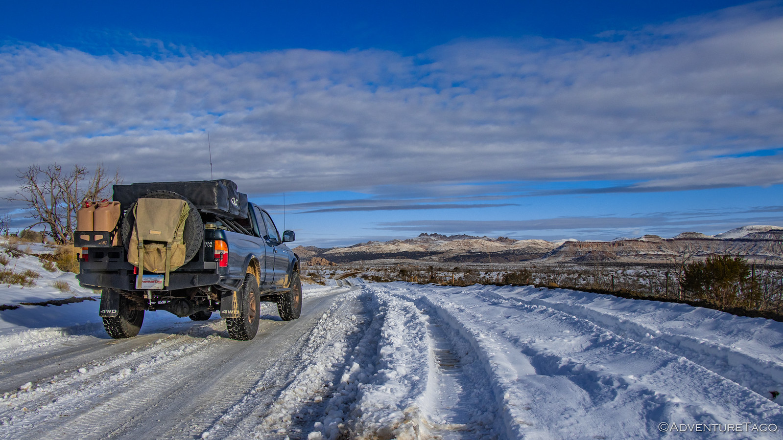
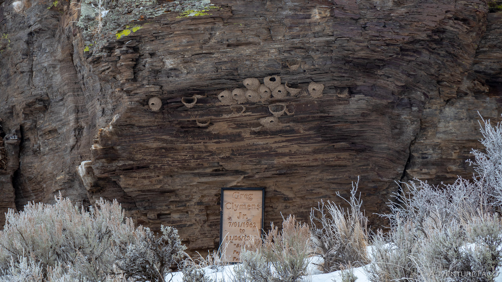
I got as much snow and ice off the tent as possible, and folded it up just as the light snow stopped. Of course! With the engine running and @mrs.turbodb warming up inside, I took a few more quick photos of our camp - it was actually quite pretty, and likely crowded in more temperate months.
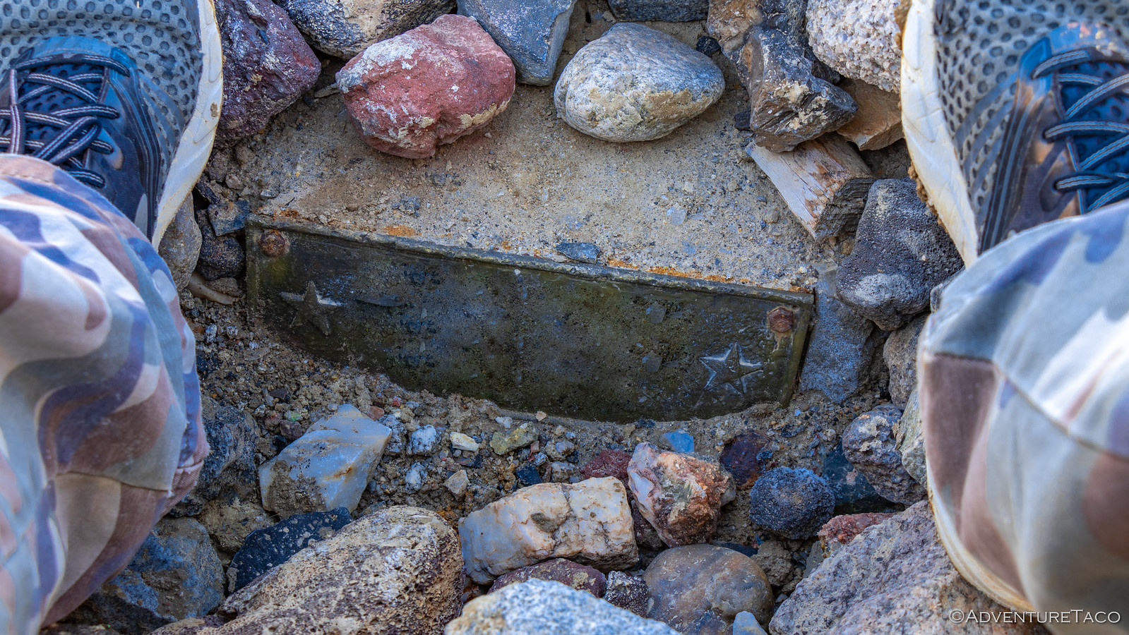
You can always tell the pretty spots by the number of people buried there!
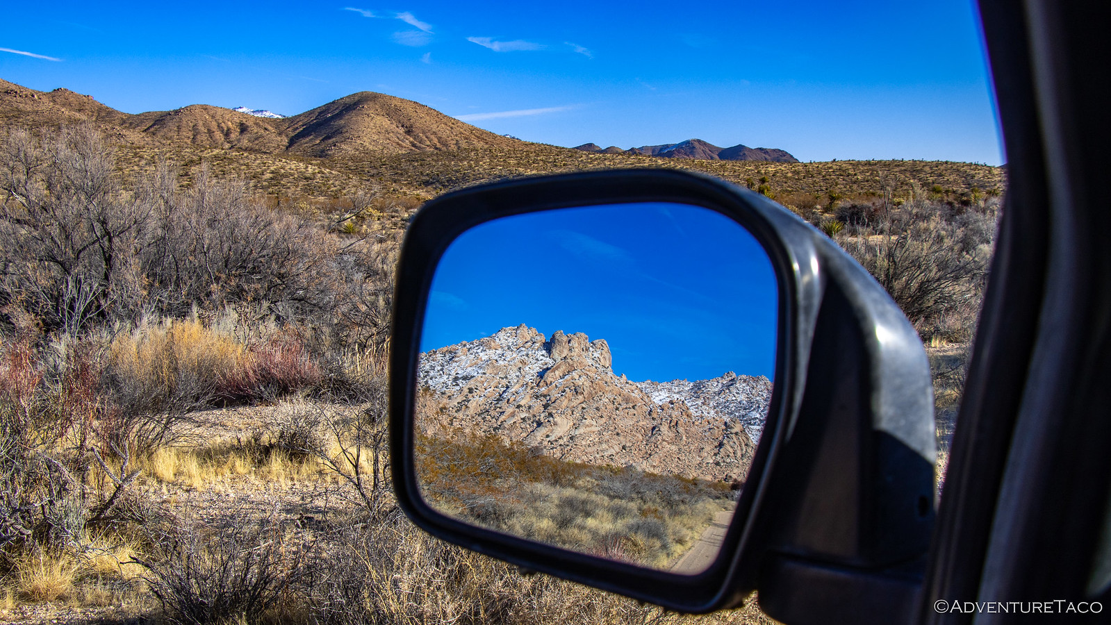
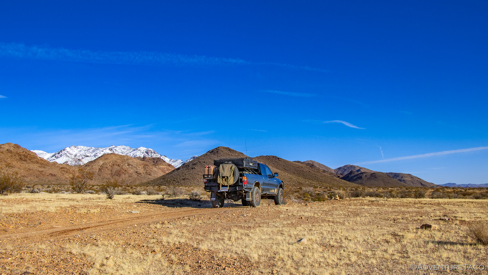
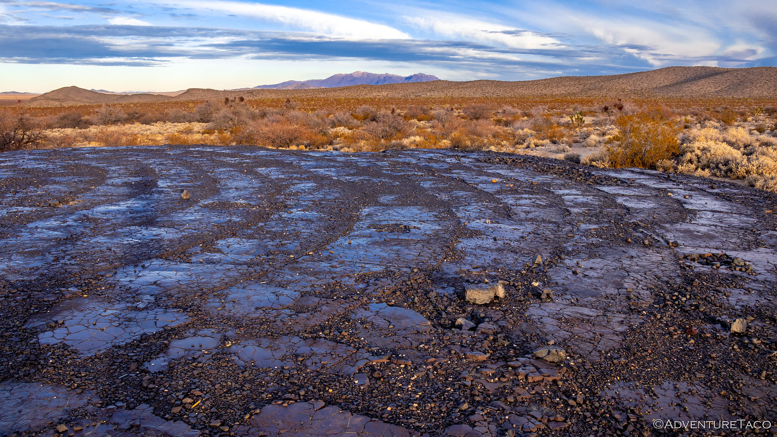
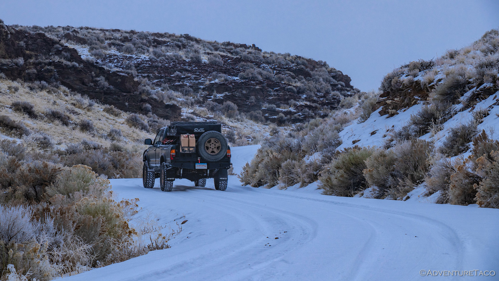
Before long we were making our way back out to US-93, the clouds starting to part and blue sky poking through. It looked to be the start of a beautiful day!
The plan for the rest of the day was simple actually - drive south on US-93 to Las Vegas (or, actually, Primm), Nevada. Along the way, we passed by the camp site Mike @Digiratus and I had used on our first night of the F.U. Rain trip, and like everything else, it was covered in snow.
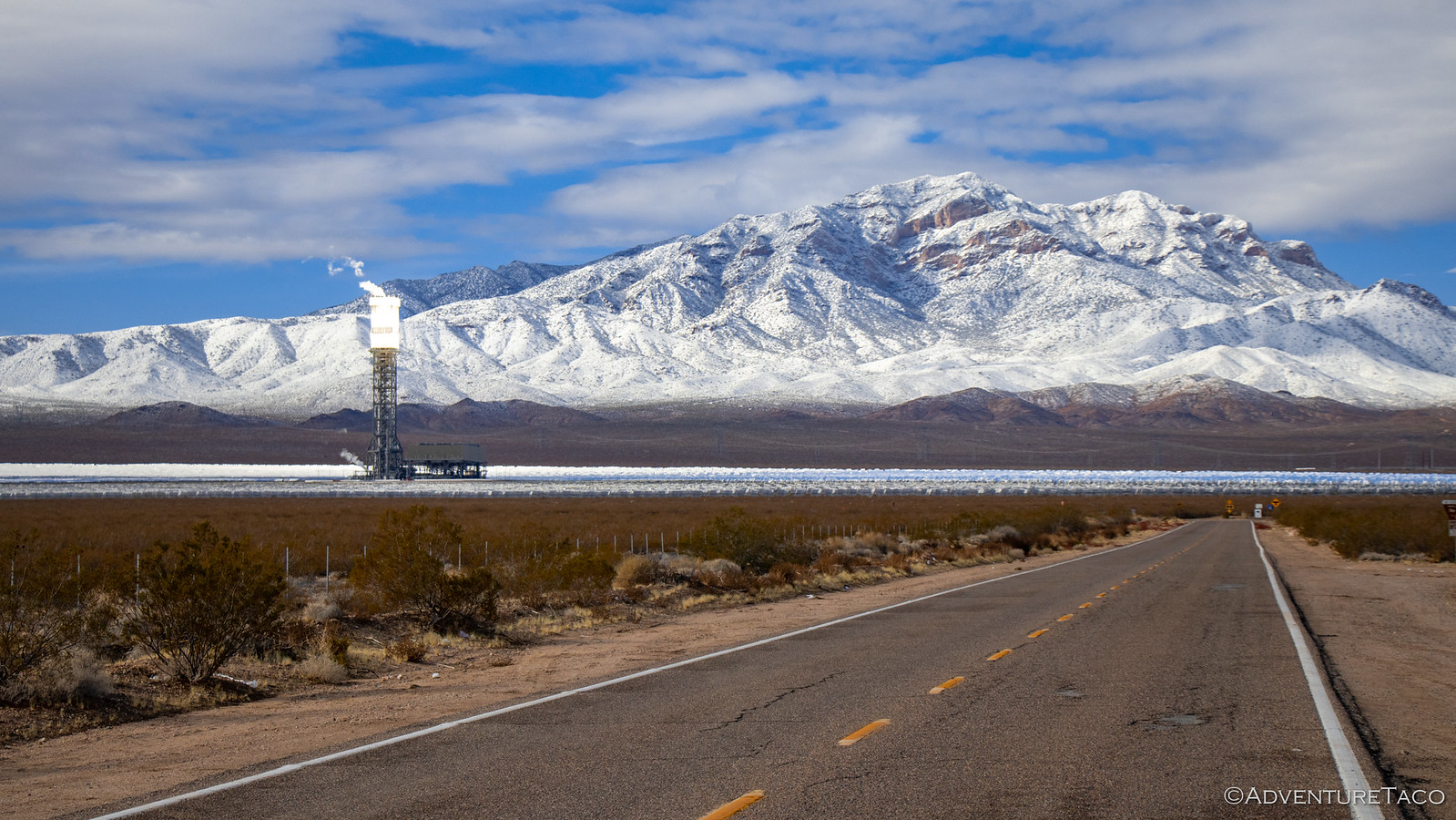
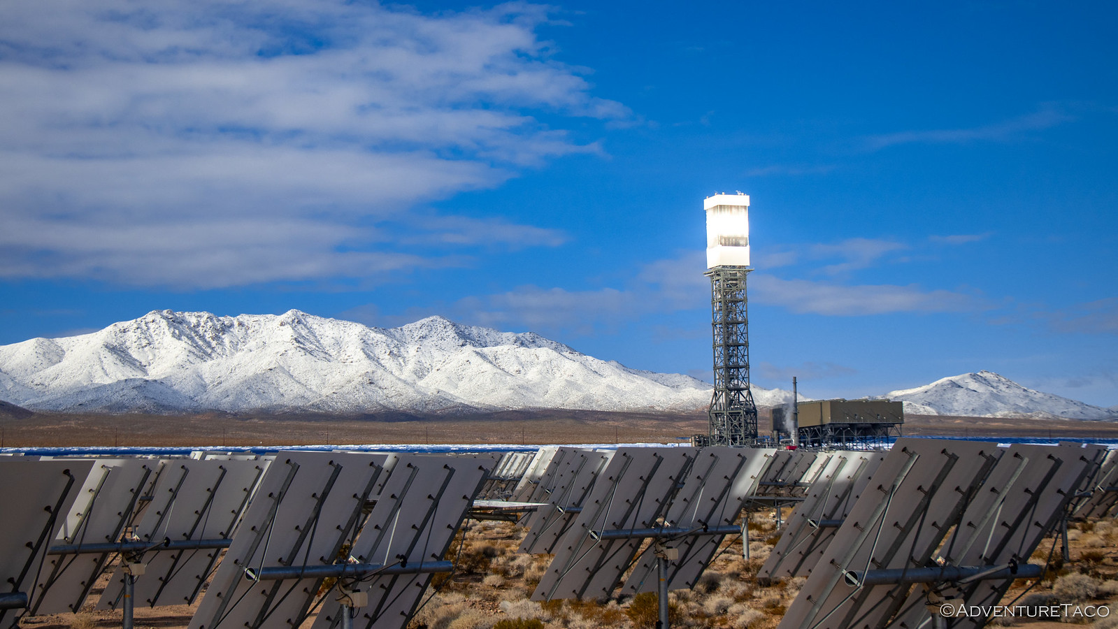
The snow slowly abated - and turned to rain - as we came down out of the high desert into Las Vegas. It was early evening, and as we looked for somewhere to stop for dinner, we were greeted with an unwelcome notice.
Our bellies full, we promptly ignored all of the Nevada DOT signs and set out on I-15 for Primm. Our hope, of course, was that by the time we got there - maybe 6:00pm or so - that the freeway would be open again.
It was not. In fact, the last 5 miles to Primm were a parking lot on I-15 and we found ourselves reading our Kindles and napping in our lane of traffic for a few hours, until we finally made it to the Primm exit. Everyone else was just turning around and heading back to Las Vegas, but we had nowhere to go so we found ourselves a nice truck parking lot in the back of a local casino, and opened the tent in the rain. Fun times!
We read a bit more, and eventually dozed off to sleep - our hope that the sunny weather forecasted for the next day would materialize, and we'd be able to get on our way.
Though, in the back of our minds was the nagging question - if there'd been enough snow to close the highway, were we going to be totally screwed when we tried to venture off into the wilderness?!


 out:
out: