ClickClickBoom
Observer
Bought a new to me H3T, so decided to get in some light offroading to break it in. Had it about 2 weeks before we decided to trek down to land between the lakes. We went for 5 days, and wished it was longer. Absolutely beautiful area, however, if you've read other reviews there was a lot of trash laying around. We picked up a lot, so at least you feel like your making a difference.
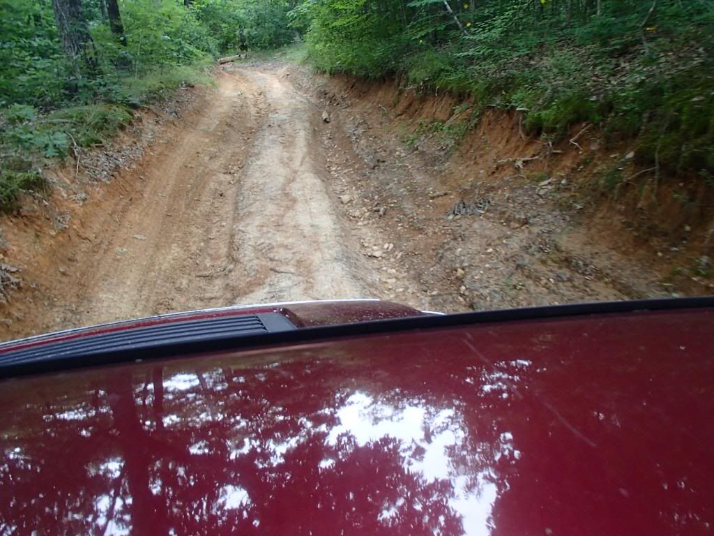
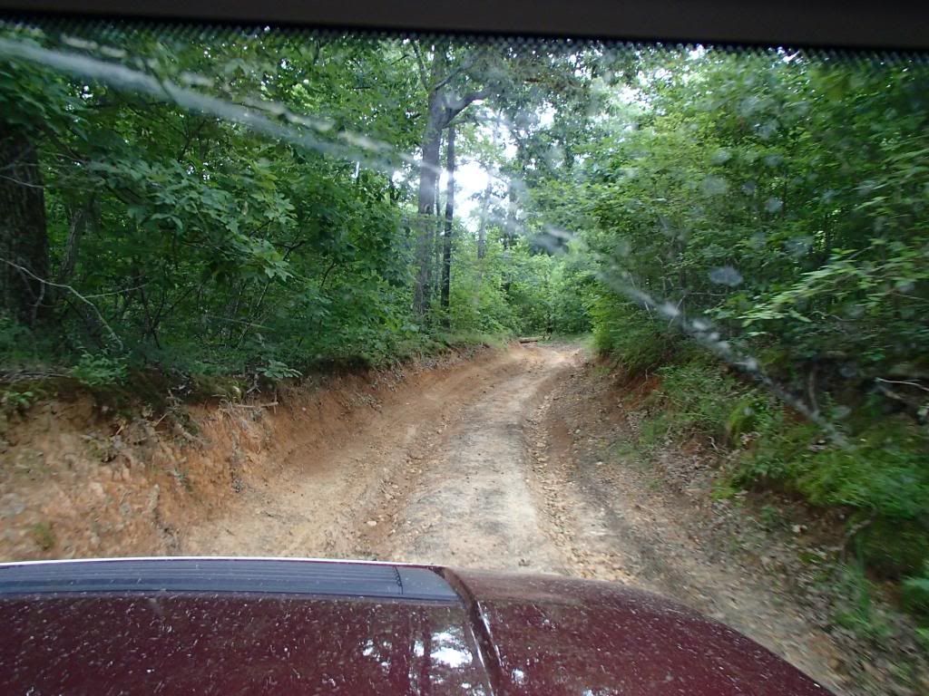
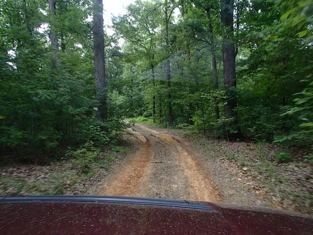
Here's a GPS track of where we explored. We did the majority of this in about 5 hours. We covered not even a quarter of the island. Terrain varied from blacktop to gravel, to washed out muddy ruts. Roads on the mvum map are number from 100, 200, to 300. Took 1 300 road, and it was rougher than I really wanted to get into without a wheeling buddy, or a winch. Put it in low, and locked both diffs and crawled through the mud for a few miles. The wife didnt' think we were going to make it back out.
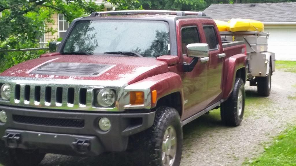
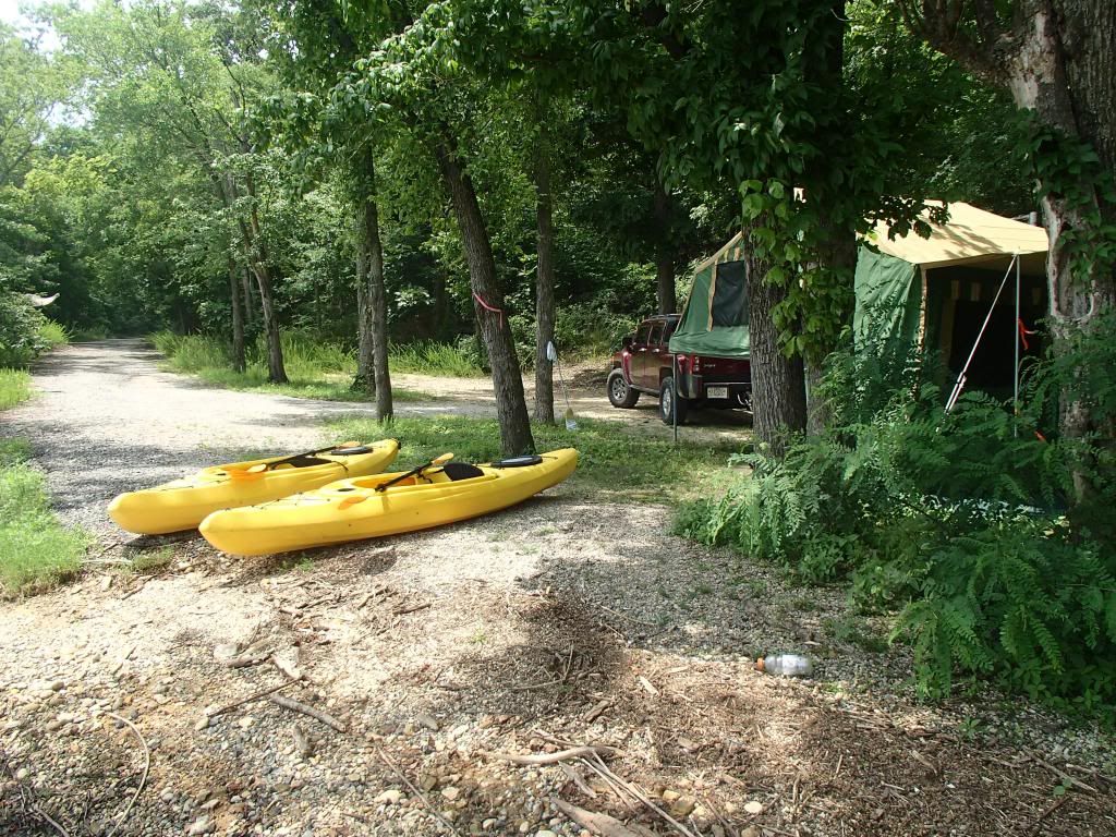
All Loaded up, ready to head out.
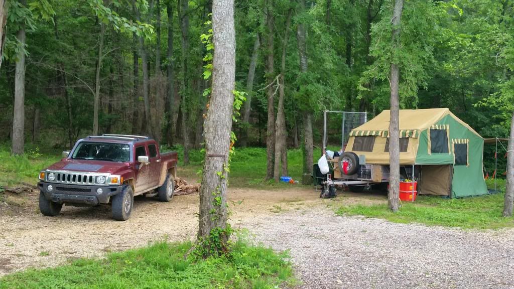
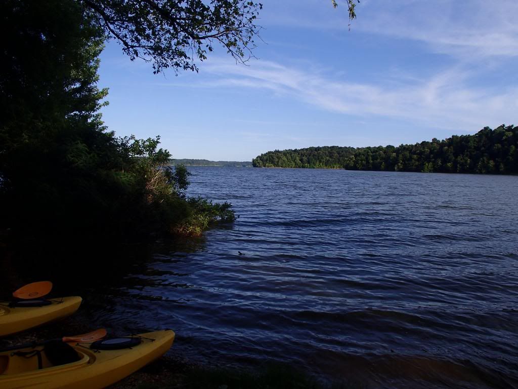
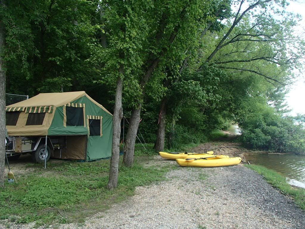
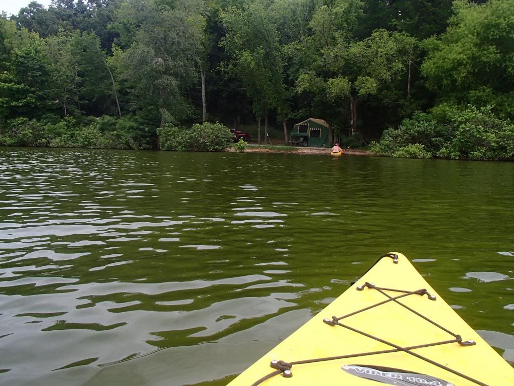
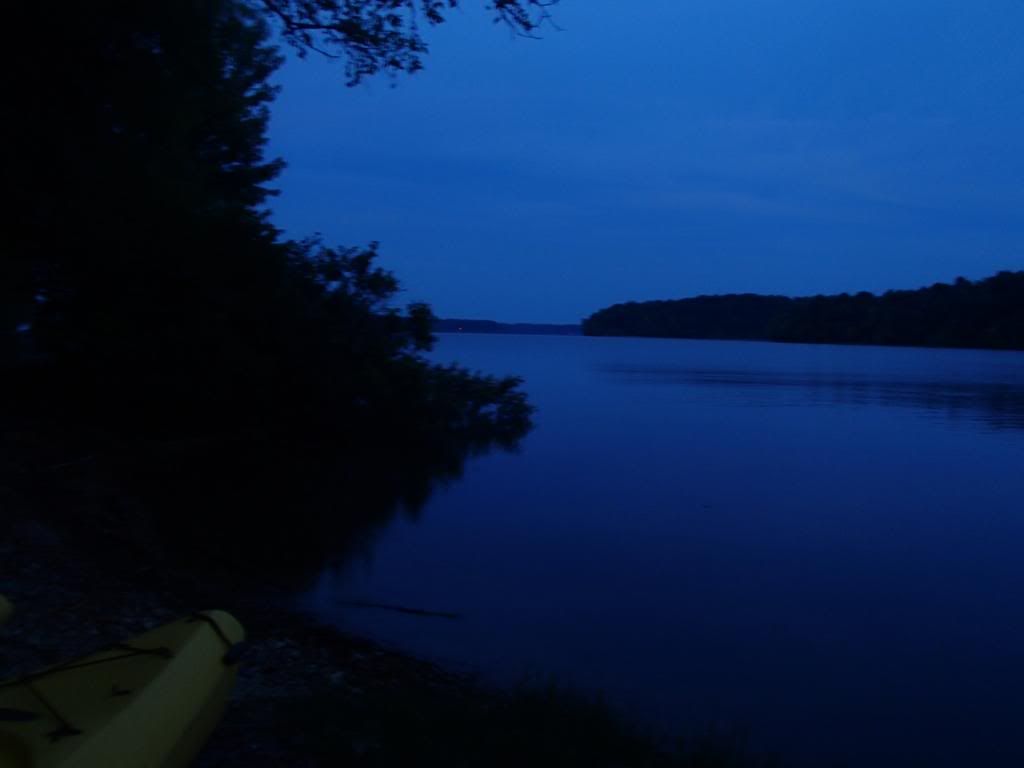
Views of the campsite. We were the only site on the whole bay. No one for miles
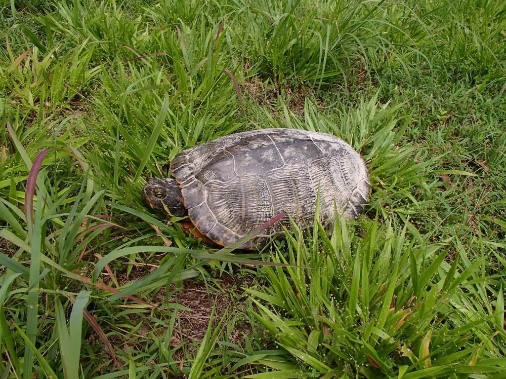
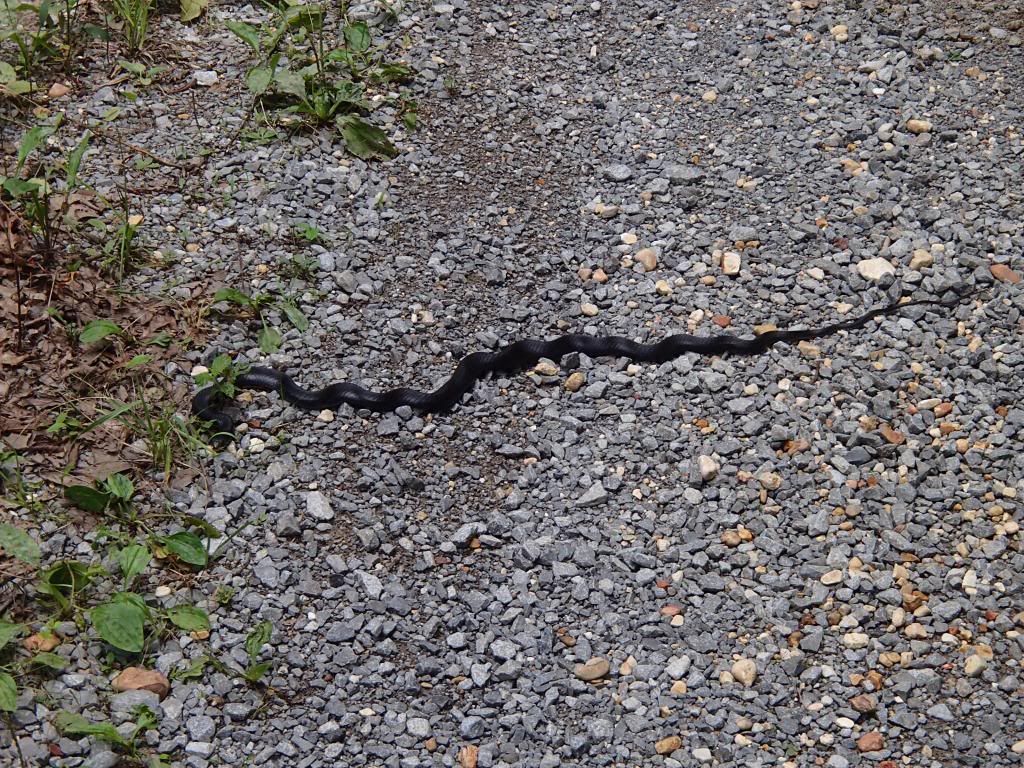
Some of the local wildlife. Also saw some eagles, lots of birds, and even had a armadillo(!) visit us one night.
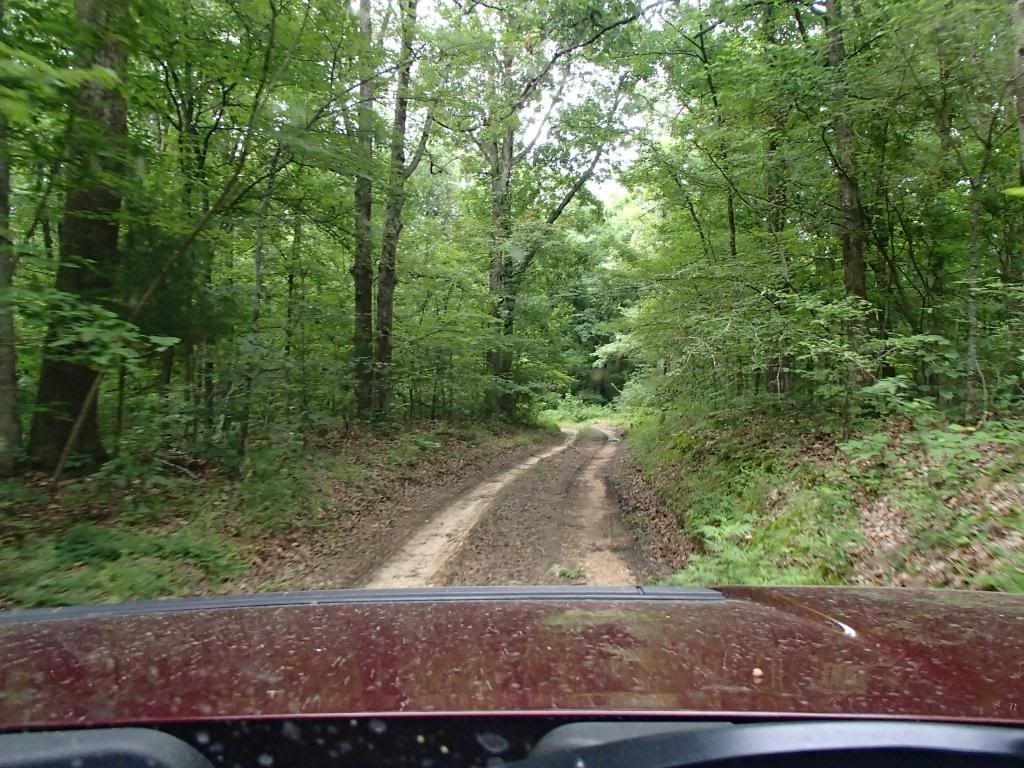
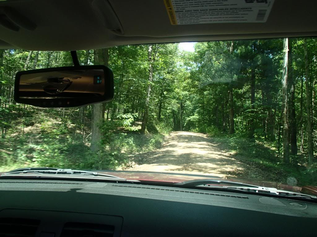
Some Wheeling Pictures. Didn't get too many of the harder trails. Didn't want to get stuck posing.
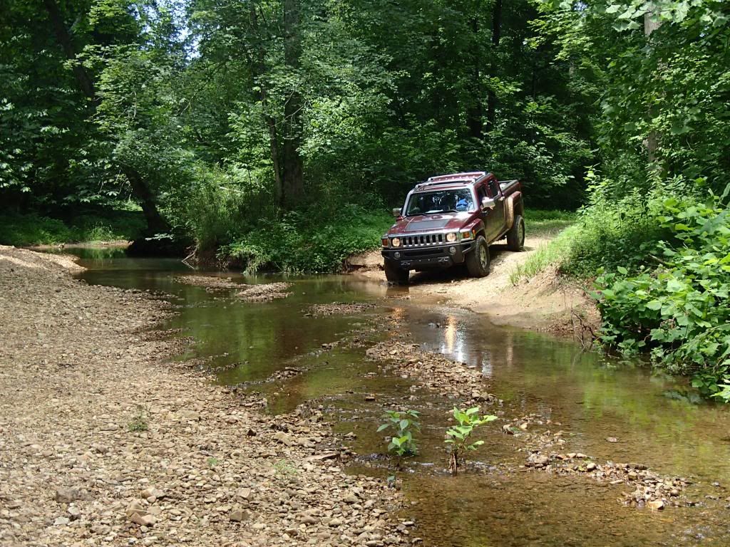
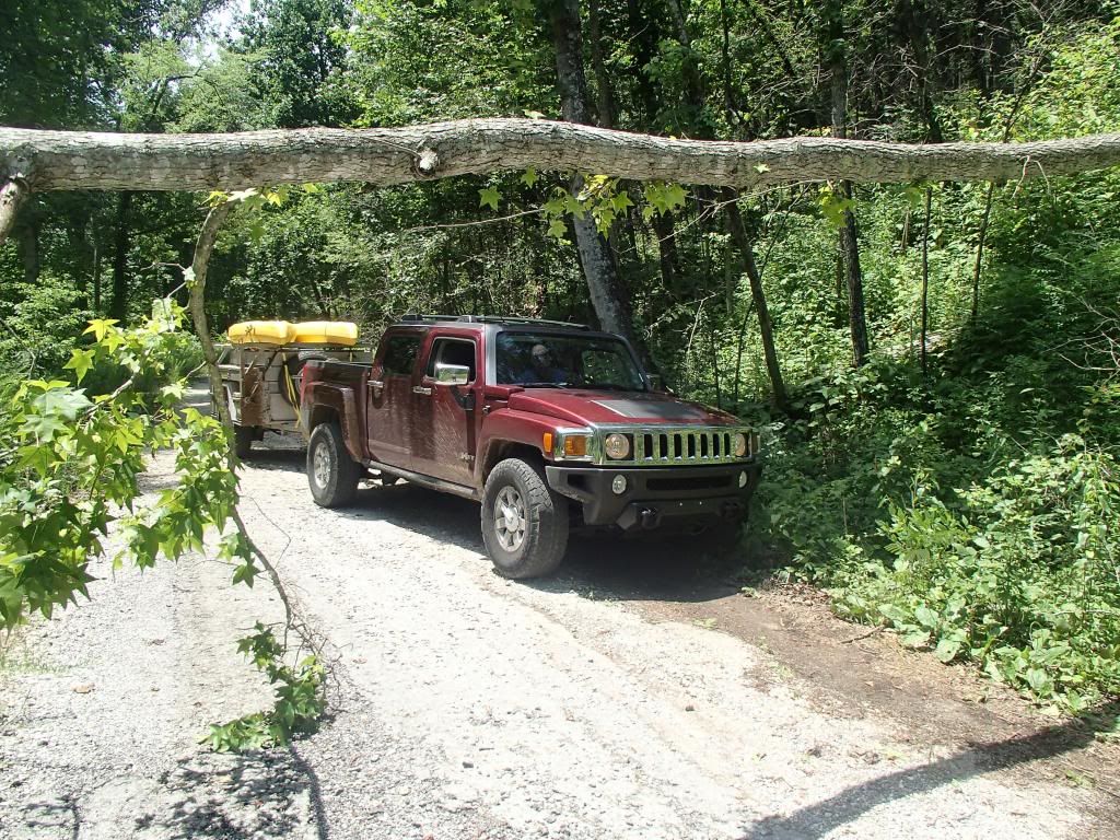
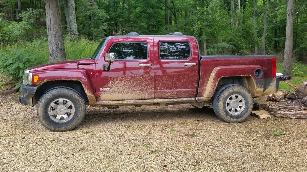
Got the truck a little dirty:
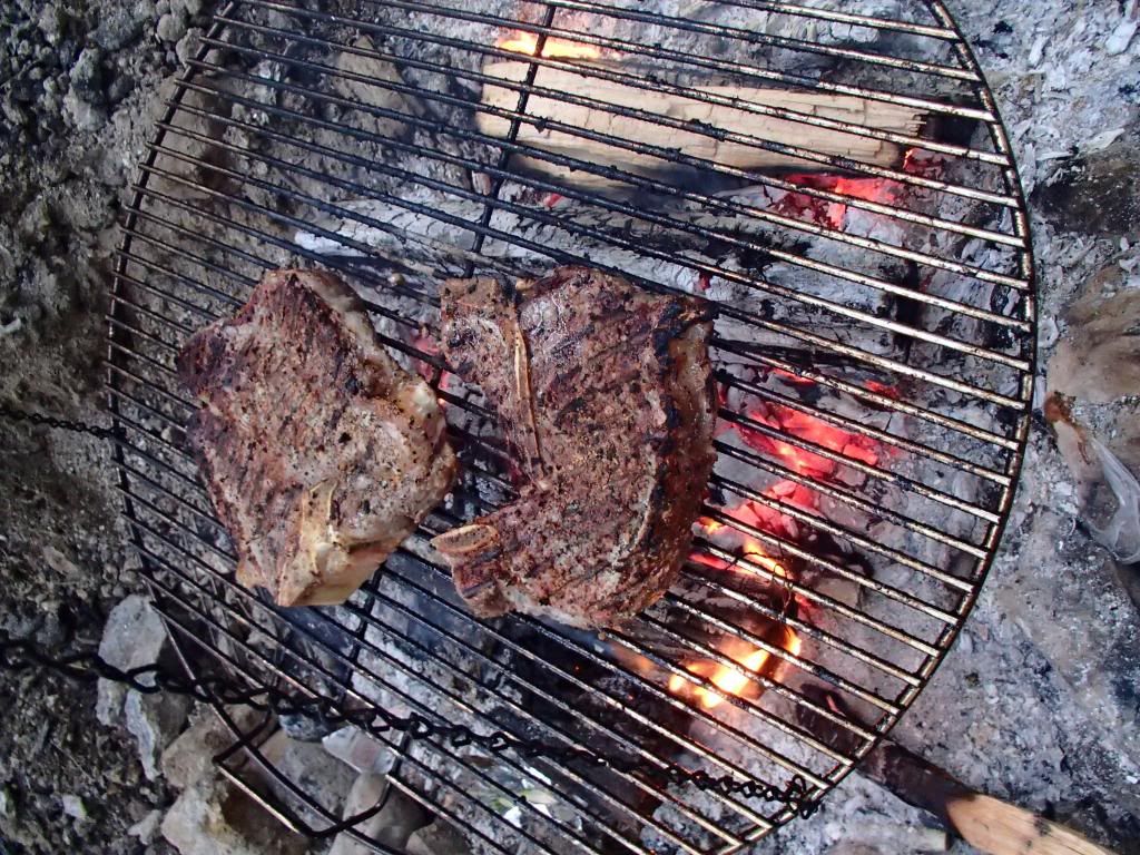
It's not camping without a good steak on the fire (and some whiskey, or wine)
We had an absolutely great time, I think it's probably some of the most isolated camping you can do in this part of the country. Well worth the 4+ hour trip for indy, we're looking forward to going back.
Here's a GPS track of where we explored. We did the majority of this in about 5 hours. We covered not even a quarter of the island. Terrain varied from blacktop to gravel, to washed out muddy ruts. Roads on the mvum map are number from 100, 200, to 300. Took 1 300 road, and it was rougher than I really wanted to get into without a wheeling buddy, or a winch. Put it in low, and locked both diffs and crawled through the mud for a few miles. The wife didnt' think we were going to make it back out.
All Loaded up, ready to head out.

Views of the campsite. We were the only site on the whole bay. No one for miles


Some of the local wildlife. Also saw some eagles, lots of birds, and even had a armadillo(!) visit us one night.


Some Wheeling Pictures. Didn't get too many of the harder trails. Didn't want to get stuck posing.


Got the truck a little dirty:

It's not camping without a good steak on the fire (and some whiskey, or wine)

We had an absolutely great time, I think it's probably some of the most isolated camping you can do in this part of the country. Well worth the 4+ hour trip for indy, we're looking forward to going back.
Last edited: