java
Expedition Leader
Took a quick trip to the Wenatchee area Friday night.
The original plan was to run the 6700 road from Hwy 2 to about Lake Wenatchee and find a spot to camp. About 5 miles off hwy 2 we found a fair bit of snow. And some nice guys stuck in it. Pulled them out, and decided to turn around.
So we went around and tried to attack from the other side, taking Little Wenatchee rd to 6500 rd. Started to rain as we headed west, so we turned around again and went back east towards the lake. (yeah I hate rain some times)
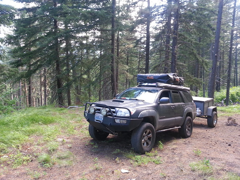
Found a little side road that headed in the direction of Fish Lake, we were tired and hungry and wanted to find a spot for the night at this point. Poked around back there and found a really nice spot. Roads weren't on any maps, but someone had kept them semi cleared. Looks like the pine beetles have done some work, lots of really dry blow down.
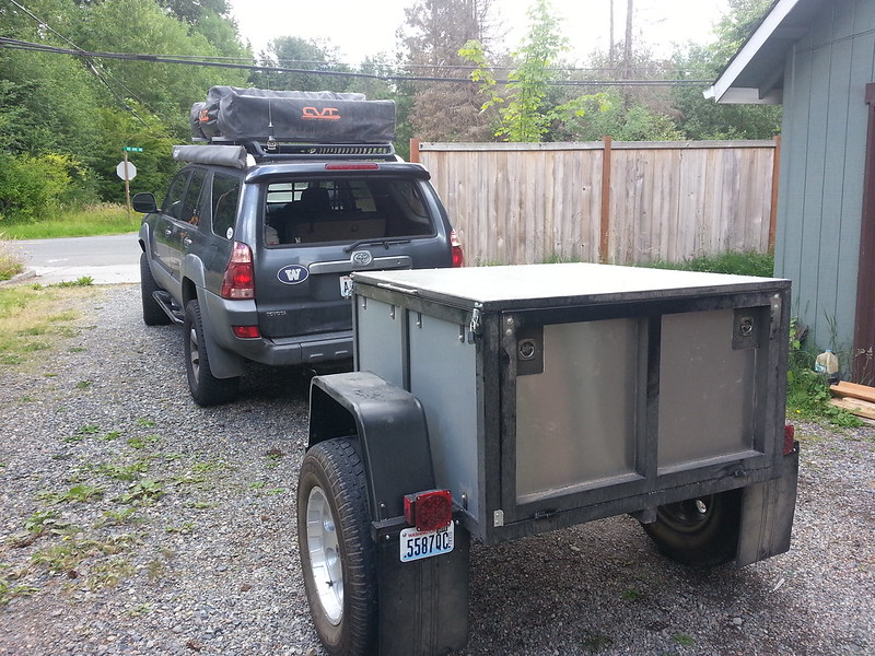
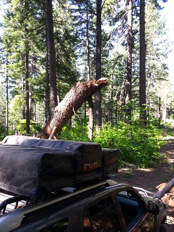
Packed and ready to go!
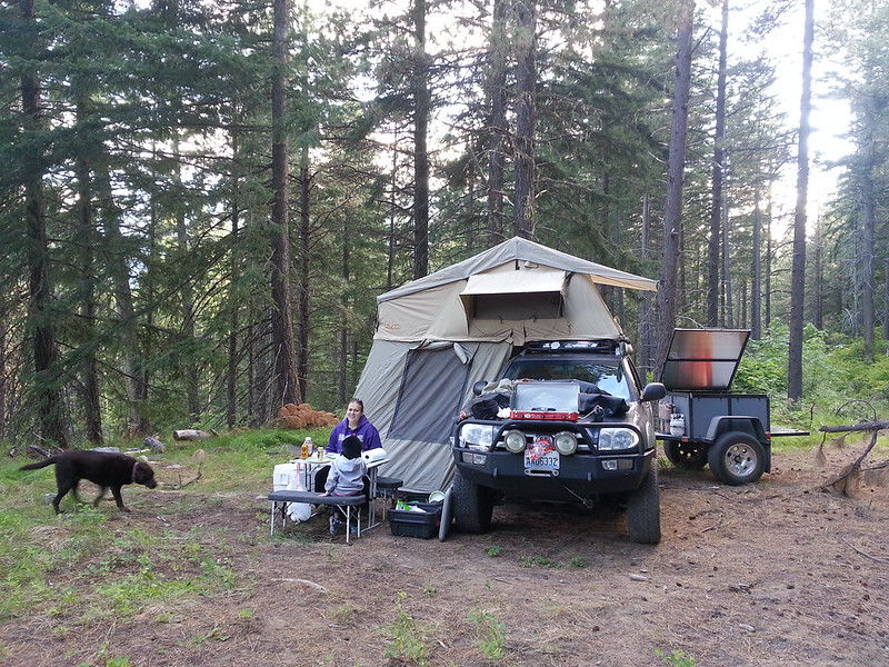
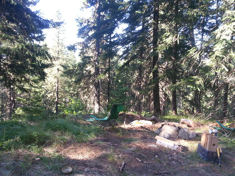
Spot for the night.
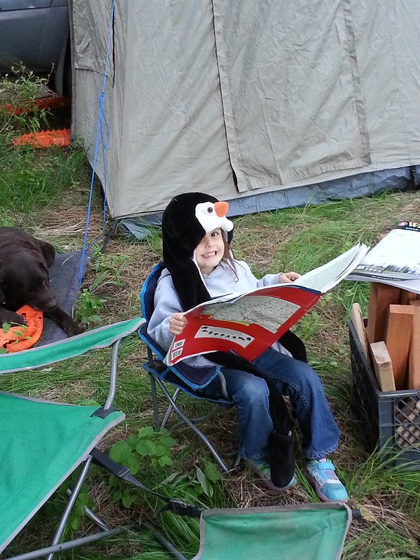
Wife says why are you taking pictures of me?!
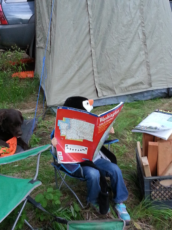
Serious route planning. (AKA where the F did we end up)
Beautiful morning.
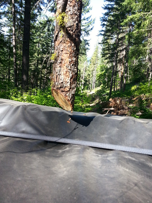
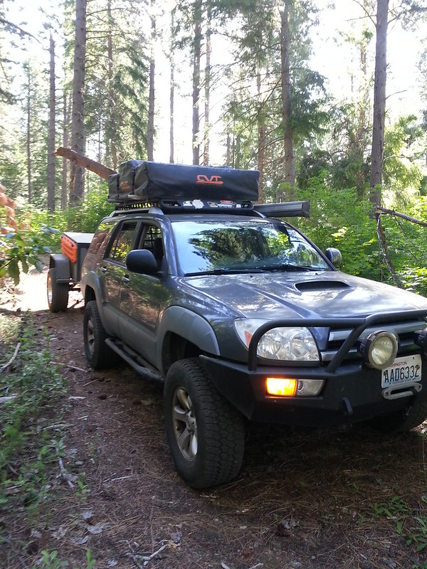
Getting up there was very tight.
VERY tight.
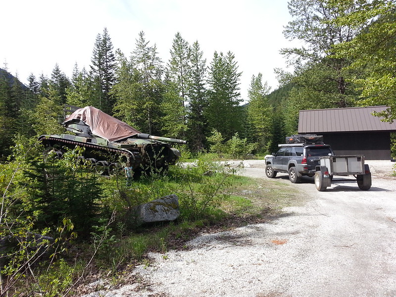
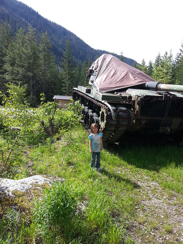
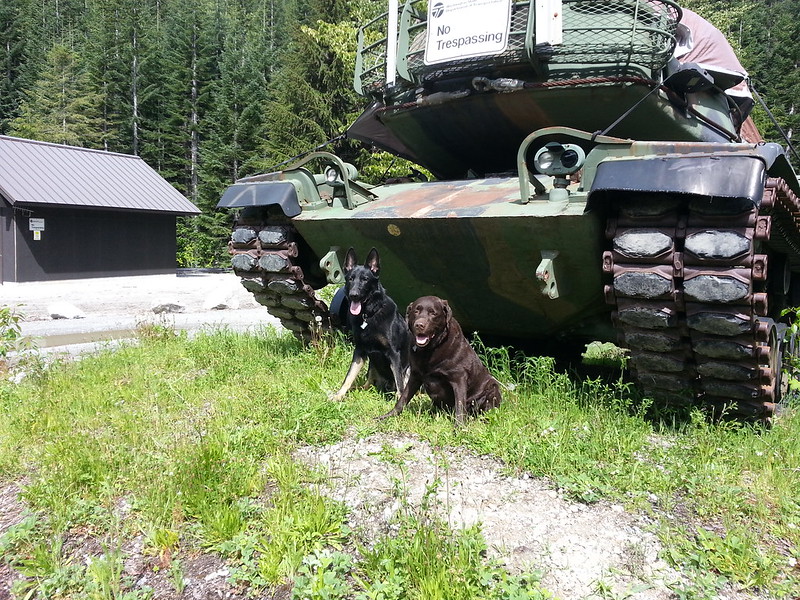
Then its not every day you find a tank in the woods!
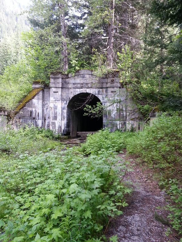
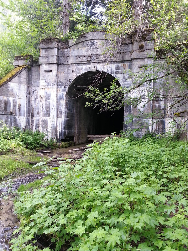
Old Cascade Rail road tunnel. Unfortunately the roof has been caving in, so you can't go in any more. Still pretty cool. The new replacement tunnel is the longest RR tunnel in the US (7.8 miles iirc)
And then it was home to go to a kids birthday party...
The original plan was to run the 6700 road from Hwy 2 to about Lake Wenatchee and find a spot to camp. About 5 miles off hwy 2 we found a fair bit of snow. And some nice guys stuck in it. Pulled them out, and decided to turn around.
So we went around and tried to attack from the other side, taking Little Wenatchee rd to 6500 rd. Started to rain as we headed west, so we turned around again and went back east towards the lake. (yeah I hate rain some times)
Found a little side road that headed in the direction of Fish Lake, we were tired and hungry and wanted to find a spot for the night at this point. Poked around back there and found a really nice spot. Roads weren't on any maps, but someone had kept them semi cleared. Looks like the pine beetles have done some work, lots of really dry blow down.
Packed and ready to go!
Spot for the night.
Wife says why are you taking pictures of me?!
Serious route planning. (AKA where the F did we end up)
Beautiful morning.
Getting up there was very tight.
VERY tight.
Then its not every day you find a tank in the woods!
Old Cascade Rail road tunnel. Unfortunately the roof has been caving in, so you can't go in any more. Still pretty cool. The new replacement tunnel is the longest RR tunnel in the US (7.8 miles iirc)
And then it was home to go to a kids birthday party...