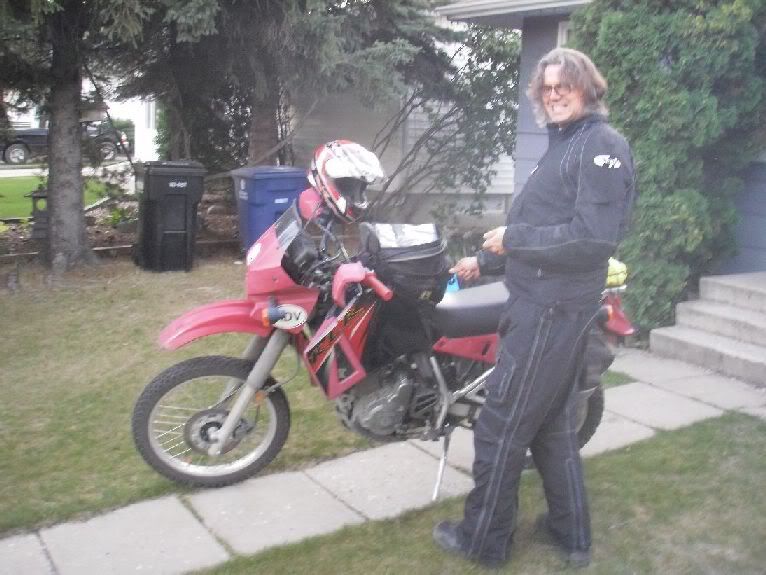
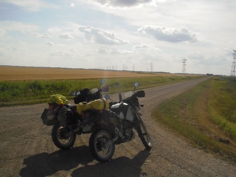
Creating a Cross Canada Overland Route

deadly99

Explorer
British Columbia

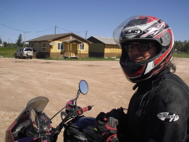
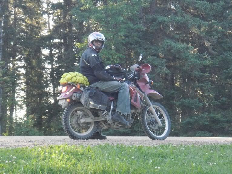
A report from Ross (aka Manxman) about a section of the TCAT through the province of British Columbia

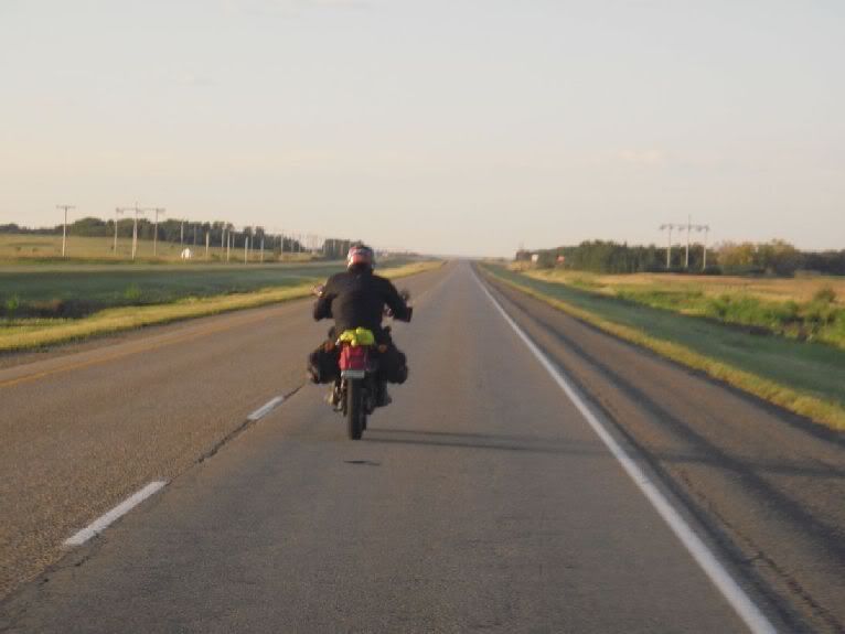
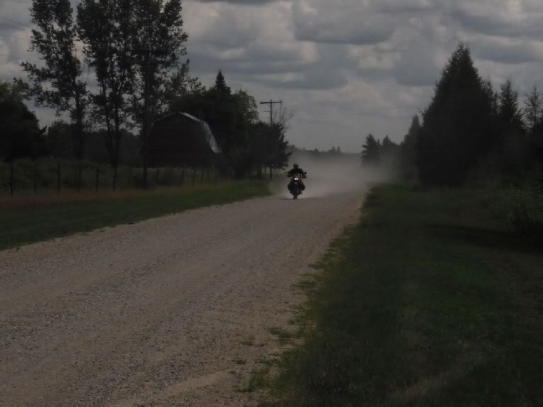
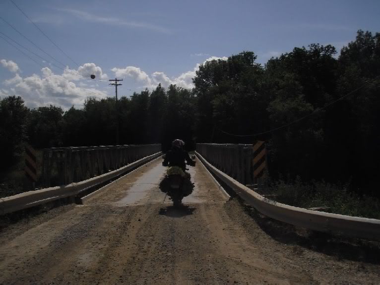
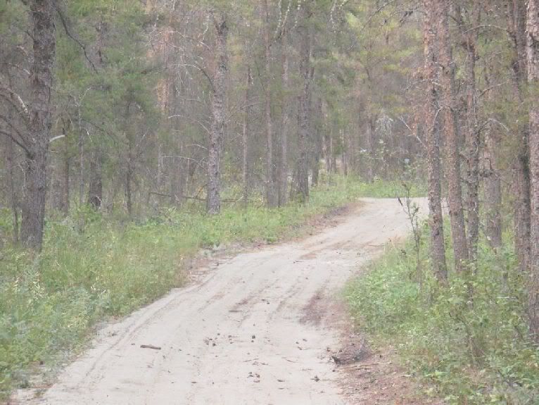
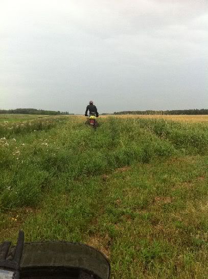
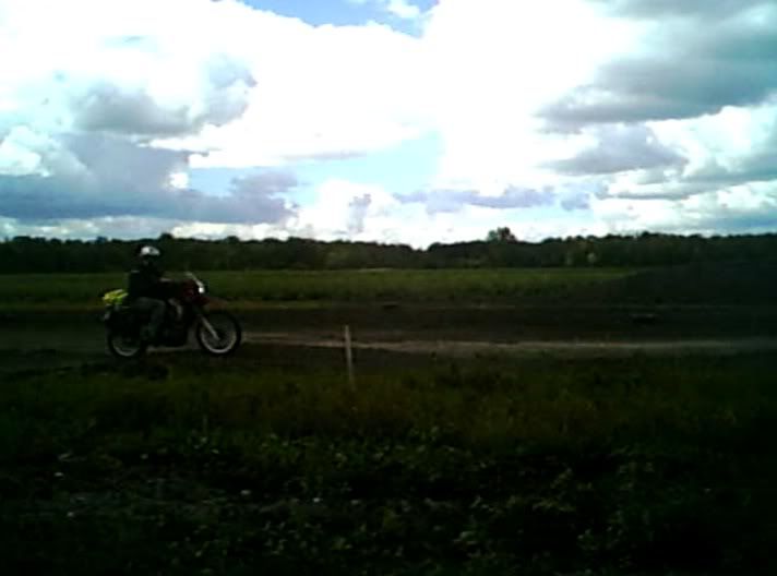
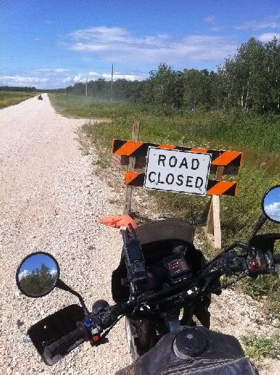
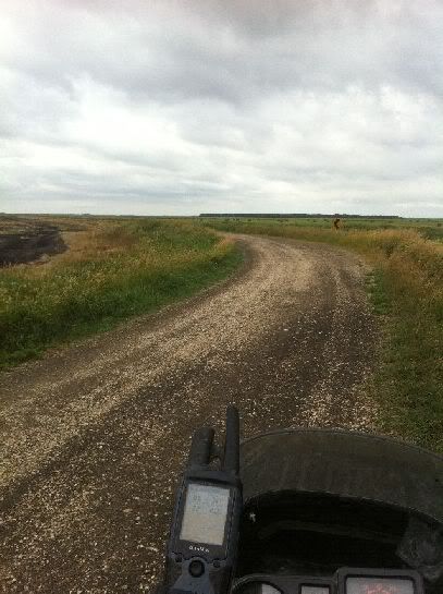
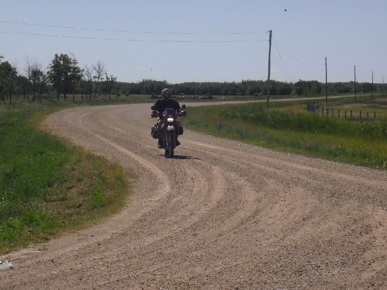
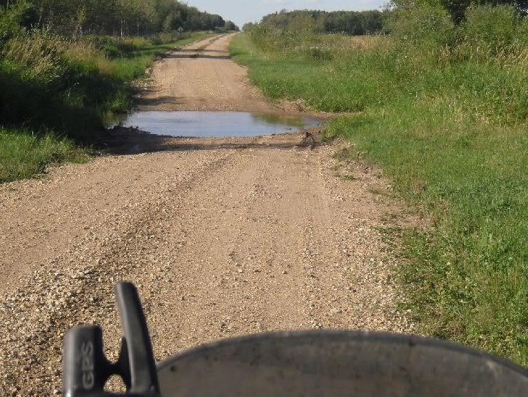
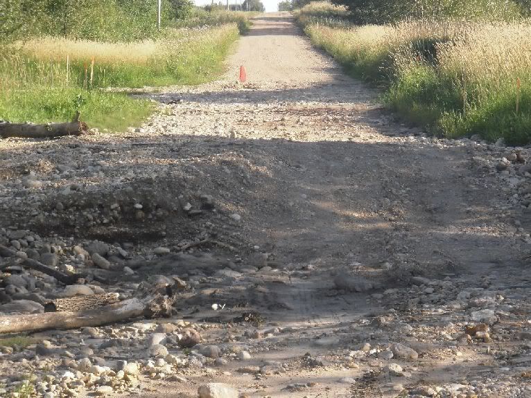
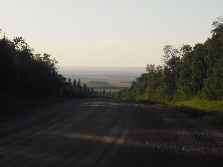
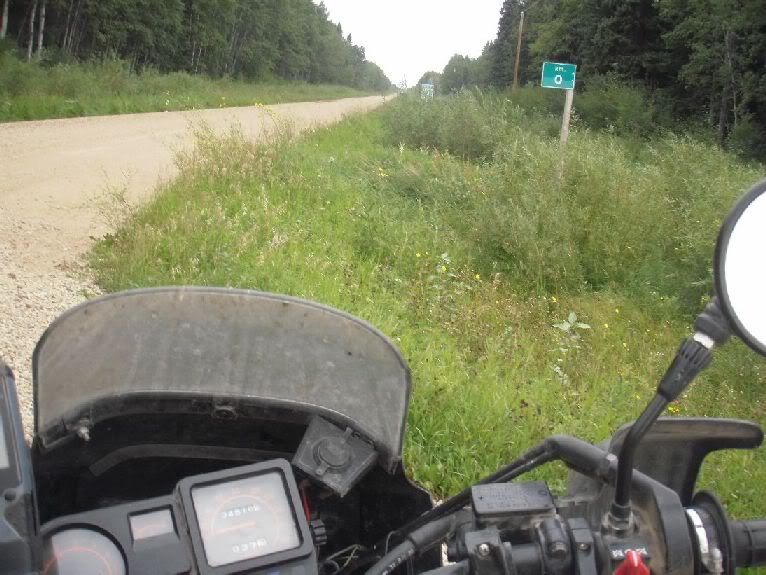
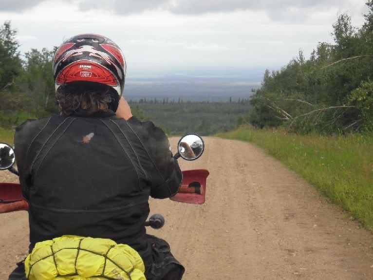
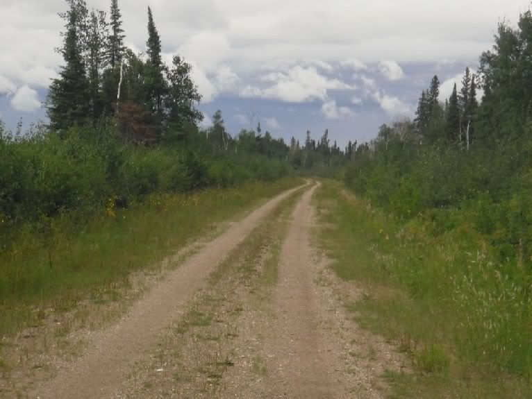
One of the roads that was closed that was on the possible routes for the TCAT has opened up again. The West Pavillion Road. I rode it the opposite direction that the TCAT will but you'll get the general idea about it from the pictures. Here are a few from along it this weekend.

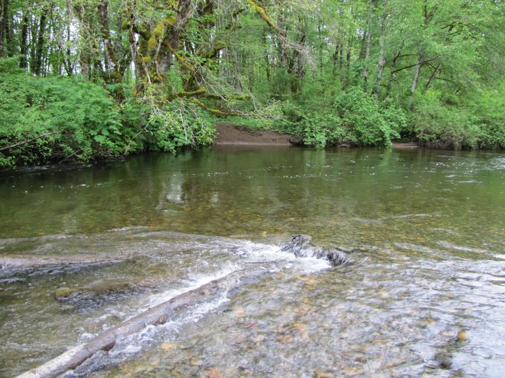
The start of the road following the Fraser River
i-6NdmbBr-XL.jpg


i-Wf7cFmR-XL.jpg

Looking back


i-s2BkvPb-XL.jpg

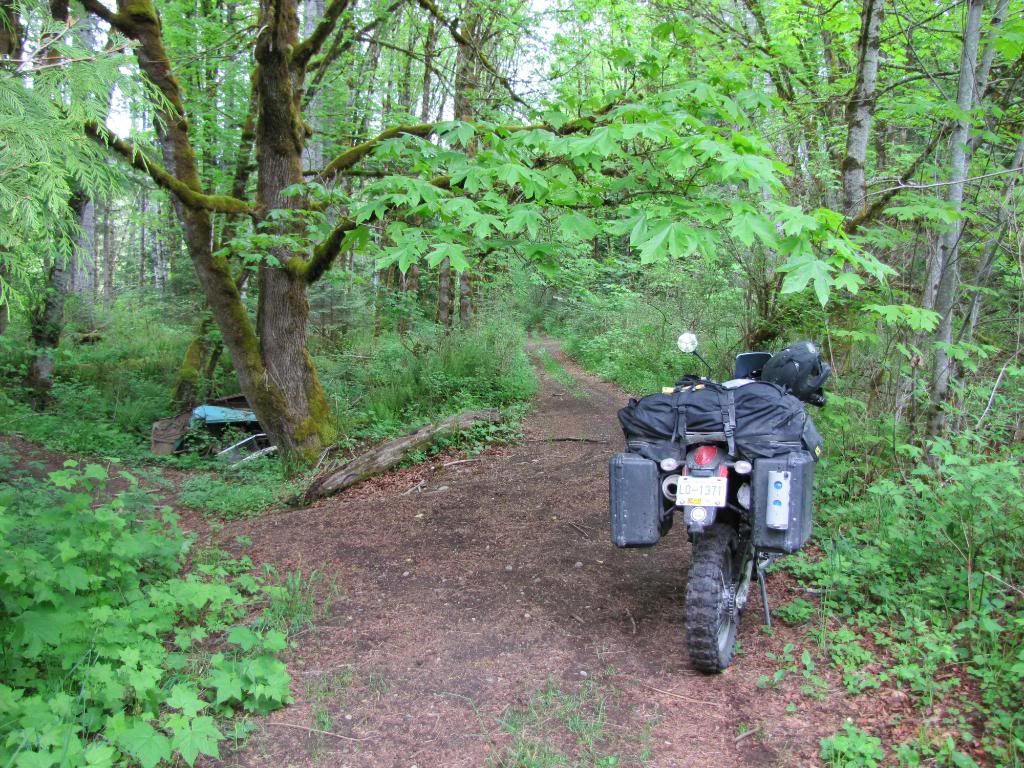
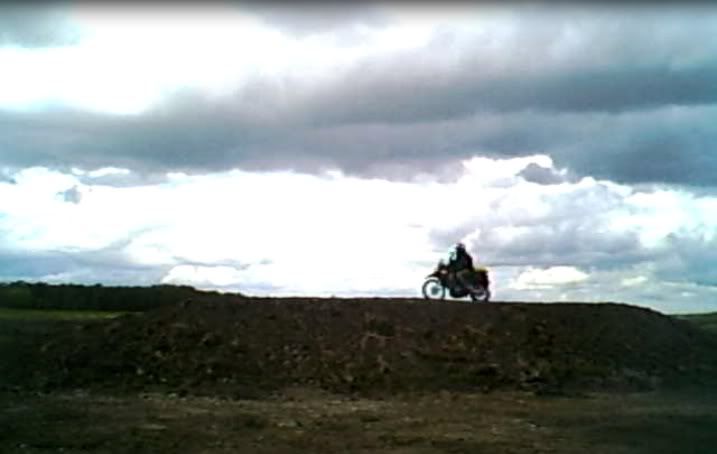
The road climbs up to about 4150 ft and then goes back down to 1700 ft. to cross a creek and then right back up to 4150 ft again very quickly.


i-mCG6MSP-XL.jpg

Looking back as I climbed up from the creek crossing.


i-W8Vrx9x-XL.jpg

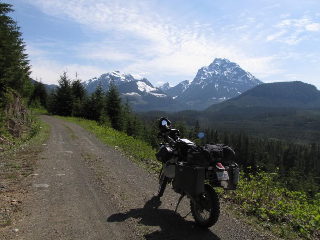
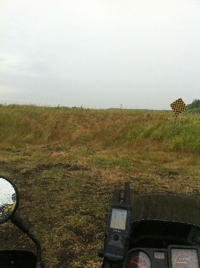
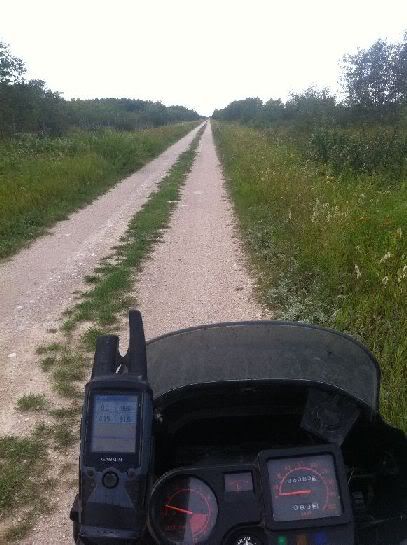
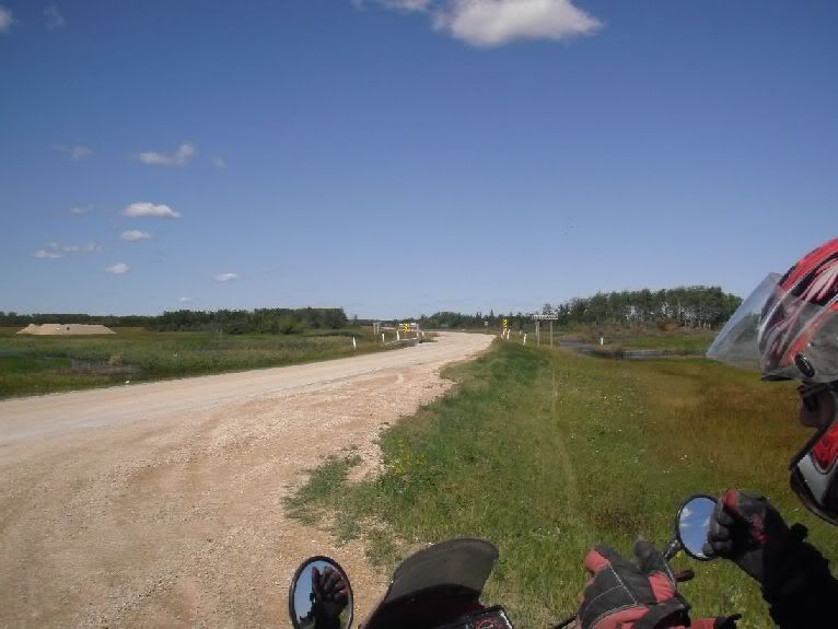
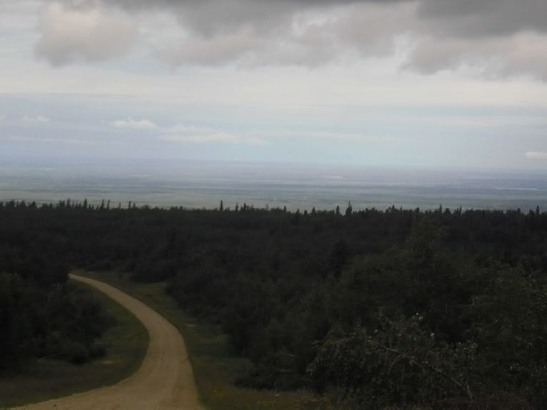
Lots of curves and great views. In BC, it isn't that often that you can get such open views from gravel roads. This road was the exception to that rule.


i-wbwVjt3-XL.jpg

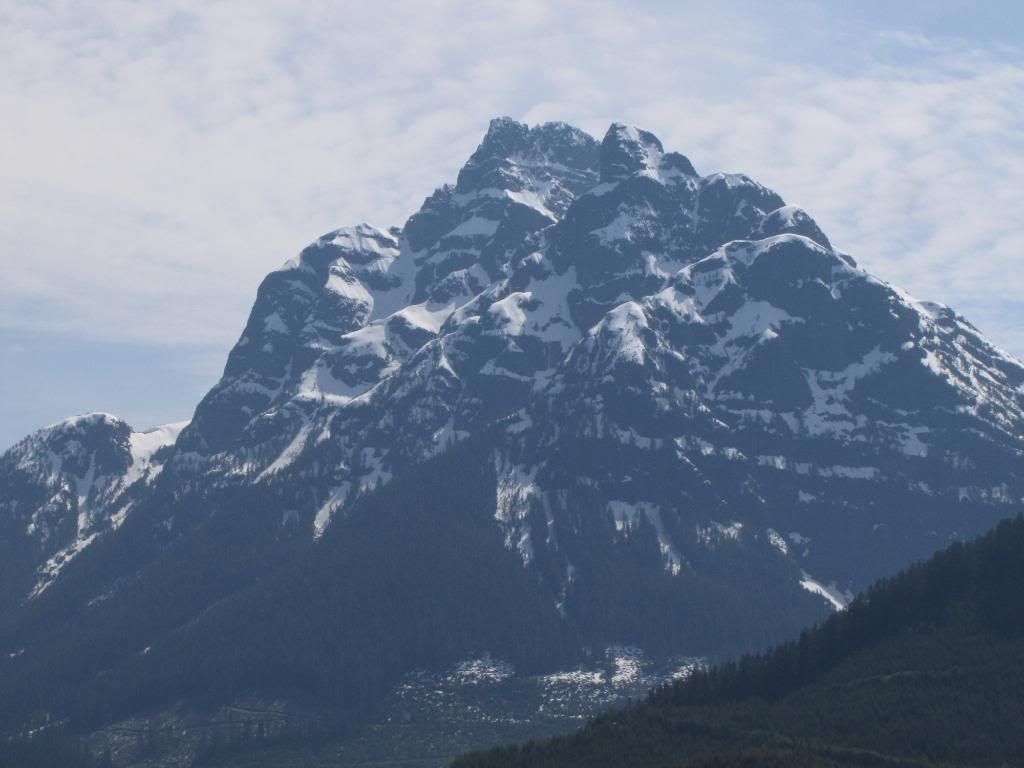
Looking down on the Fraser River


i-SSsvz6c-XL.jpg

Just before the descent towards the Big Bar Ferry. After this straight stretch, it gets real steep with lots of tight curves as you approach the ferry


i-dtjZHH7-XL.jpg

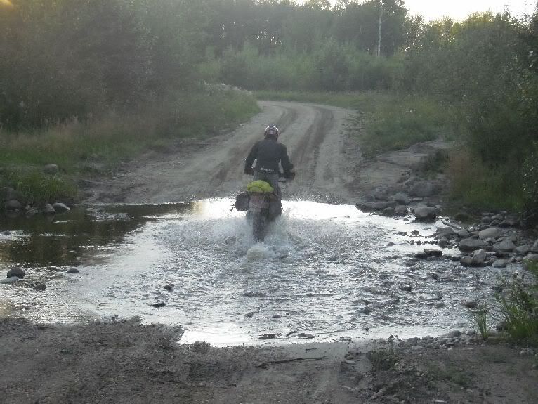
The reaction ferry starting to come over to get me and take me to the east side of the river


i-86N3GXN-XL.jpg

The short ride across


i-zr8hv3m-XL.jpg

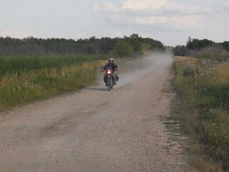
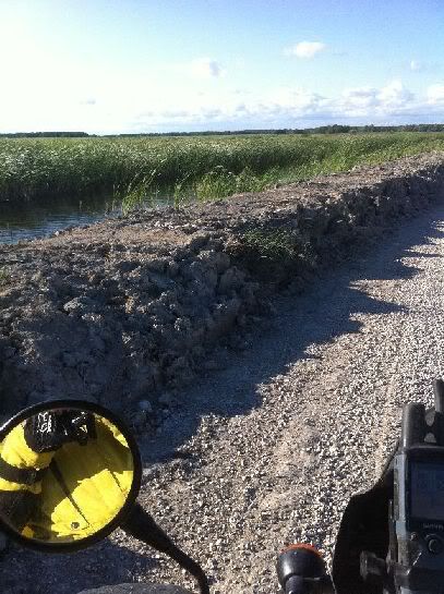
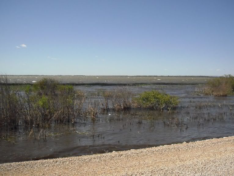
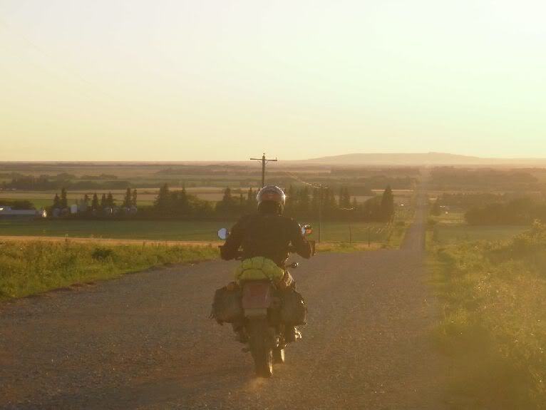
Looking back from the east side. The last 3 kms of that road has always been sandy, but yesterday it was really bad. They had just graded it on Friday and the sand was between 6" to 12" deep the entire 3 kms. :yikes

This road is about 90 kms long to the ferry from the turn off. Between taking pictures and stopping to have a cup of tea (just because I'm out in the cuds is no reason to not be civilized) I spent 3 hours on it and never seen one person until the ferry operator.
 

1stgenoverland

Adventurer
The first trail we ran was great until we hit the river crossing..


IMG_2304.jpg


Where we want to be on the other bank and a 5' deep river telling us no...


IMG_2308.jpg


IMG_2425.jpg


This is Victoria PK third highest on the Island in elevation but it is the highest if you measure from valley floor to peak..
IMG_2430.jpg

Was at this River crossing two days ago. We run this one in the summer time with the bikes. Pretty hard but do-able if the water level is only two feet. It was up to my knees this day and because of the Rain and what not we decided to turn back. 4x4's with snorkels can make this climb too but a winch is needed and its been awhile since trucks have run through here regularily. Really cool old spot. Lots of history and if anybody is out this way and wants a rail road tour of this old Rd and the surrounding area I would love to do it. Also...Victoria peak...I will be conquering this mountain Two days from now...Looking forward to it.
 

deadly99

Explorer
Province of Manitoba

The TCAT crosses Manitoba. Chris created the route and went and test rode it last week. Based on his report it looks like a very nice addition to the route. It also fills one of the big gaps that are remaining. Here is the tale he has from his exploration

Here's the rundown of the Manitoba TCAT exploration trip. This trip was the culmination of many, many hours of sitting with maps, and a few posts on the "For Winnipeggers" thread to ask some questions about potential routing.

Myself and Russ B. headed out on a sunny Sunday morning. The forecast was for a high of 31 Celcius (thats 88F for those of you not yet on the metric system). When I arrived Russ was just finishing putting the gear on his bike.

MB002.jpg


For the first day we just wanted to get as close as we could to where we planned to start
doing the TCAT exploration, which was the Manitoba-Ontario border. We had just over 1000
km (622 mi) to go, and it was divided highway pretty much all the way, so we hit the road.
It was a beautiful morning for a ride.

MB003.jpg


We stopped briefly in Davidson, about 120 km south of Saskatoon, and took a look at the
giant tea kettle and the bird cage - don't ask...

MB004.jpg


MB005.jpg


Then we headed on to Chamberlain for gas. At the gas stop we saw one of those things
you'll only see in Saskatchewan...

MB006.jpg


I guess this guy had to load up some wheat before heading to the lake, 'cause he was towing
a grain auger behind his boat. Gotta love this place!

We stopped for a quick breakfast in Regina, then headed east down the Trans-Canada Highway.
Somewhere along the way we noticed that the centre knobs were chunking off of Russ's
brand new Kenda K270.

MB007.jpg


Had a quick lunch in Brandon MB and headed east again. Because of highway construction we
were routed right through the centre of Portage La Prairie. As we came to a stop at a set
of lights, Russ's bike lurched and stalled. The cause turned out to be a broken clutch
cable.

MB008.jpg


We managed to limp the bike into a nearby gas station, where we began looking at how to fix
the problem. We had offers of help from several people, and one guy even let me into his
closed business to look for a bolt to try to clamp the cable ends together. Then we met
Scott Ferguson...

MB009.jpg


...who said "I've got one of those bikes. Mine's an '87."

MB010.jpg


Russ asked if he'd be willing to part with his clutch cable, and Scott said "No problem."
So I went over to his place and we took off his cable. He had a few bikes (Hyosung twin
streetbike, R1200GS) and his KLR had over 46000 km on it. Anyway, I brought the cable back
to Russ and after another quick fix for a broken tank bag clip we were on our way. Thanks a ton,
Scott - you saved our trip!

MB011.jpg


After an interesting 20 km backroad route just west of Winnipeg, we bypassed the city on
the Perimeter Road to the south...

MB012.jpg


...and made it to Richer, MB just as darkness set in. The Richer Inn provided a pub,
restaurant, and a decent room.

MB013.jpg


The next morning we set off for the border, with a 32 degree forecast. We had 100 km left
to go on the Trans-Canada, and we made short work of it. We paused for the obligitory
photos at the border...

MB014.jpg


MB015.jpg


...and started exploring the proposed route for the TCAT. Within a couple of km we
encountered a spectacular old paved road, which had grass growing up through it. At the
far end of that road (about 2 km down) we came across this gate.

MB016.jpg


It was easy to get around it, but if someone moves the rocks it's only a few km of the
Trans-Canada you have to ride to bypass it. We went by Westhawk Lake...

MB017.jpg


...and headed up a wonderful little paved road to Falcon Beach. After that, the route was
forced to hit the Trans-Canada again for about 25 km, as the side routes I had planned
didn't work out (the old "Private Property - No Trespassing"). However, the road that
awaited us was worth the slab. It was beautiful gravel, and while not twisty, it had
enough curves to be interesting.

MB018.jpg


Russ's appraisal:

MB019.jpg


After a bit the roads straightened out again, and we found ourselves in the town of Elma.

MB021.jpg


We didn't try the cabroll perogies, but they're supposed to be good.:rofl

A slight route modification was required at Whitemouth, as a bridge was out (and looked
like it would remain out permanently). But we found this little bridge instead.

MB022.jpg


From there it was on to the Moss Spur road, which was a great addition to the TCAT.

MB023.jpg


We crossed the highway and headed into the forest on a decent gravel road. A few km in,
though, the GPS showed us that we had to split off onto this...

MB024.jpg


...which proved to be a fun ride. We passed this cabin on the way...
 

deadly99

Explorer
MB025.jpg


...and were thinking that this would be an awesome section for the TCAT, but things got a
bit more gnarly further down.

MB026.jpg


So it was decided to make this trail a technical option. However, the portion to the cabin
would be easily accessible for a big adventure bike like a 1200GS or a VStrom 1000 if
someone was just looking for a spot to camp, and the rest would be possible, just a bit
difficult for these types of bikes.

After finding the route around the technical option, we continued on and found ourselves
with our first view of true wide-open prairie - well, wheat fields anyway.

MB027.jpg


After a few miles of straight grid roads and one bridge that was out we got to the edge of
the Mars Hill rec area. The TCAT will run through this area on the trails, and while the
first attempt produced an extremely sandy trail, the second resulted in us finding this
beauty.

MB028.jpg


This will be on the main route, but there is an easy grid road bypass for those who just
don't feel like driving in here. However, aside from one very sandy spot about 20 metres
across this trail is easily passable on a bigger bike.

After Mars Hill we took grid roads to get across highway 59, and west of the highway got
onto this nice little gravel road that ran along the Red River.

MB031.jpg


We got to Selkirk and asked the kid at the Co-op gas station about a room. Apparently
there is only one hotel in Selkirk, and when we got there it was completely booked. So we
saddled up and headed toward Winnipeg. After cruising past a couple of places that we were
a bit hesitant to stay in (not the best part of town) we headed for the airport and finally
managed to get a room at the Hilton - a bit fancier than we were planning for this trip.
TIP - if you plan to stay in Selkirk when riding the TCAT, book a room in advance!
Winnipeg is only about 30 km away though.

The next morning the bellboy took our things out to the bikes...:rofl

MB032.jpg


...and we headed back to Selkirk for a quick breakfast before picking up the route again.
The weather was not as hot as the previous day, and it looked like it could rain. After
riding a few miles of an awesome little dirt road, we spotted the canal roads south of
Clandeboye. We thought the grass on these was a bit long, and the rain was starting to
fall, so we figured we'd check for an alternate way to the Oak Hammock area. Unfortunately
the alternate route was gated and posted "No Motor Vehicles" so we headed back to the canal
roads to try our luck in the tall grass.

MB033.jpg


The canal roads weren't as bad as they first looked - they were actually quite fun to ride
and not rutted too badly, so we made pretty good time. We took a couple of mile jog on a
paved road and then headed up this little dirt road. It came to a dead end, but it's an
easy ride up onto the canal road to the left of the sign pictured.

MB034.jpg
 

deadly99

Explorer
time, but things were still a bit slick. We headed down it, and Russ decided that his KLR
needed a nap...

MB037.jpg


...which he decided it would take right on top of the only cowpie for 40 miles!

MB038.jpg


The road ended up being fenced off by a farmer, who had placed an electric fence wire
across one end of a bridge. We almost drove into it before we saw it. Should have red
flags attached, but you never can tell with some of these guys - they're so in the middle
of nowhere that they figure no one will ever use that road anyway.

The route out was still nice, and after several green lanes and some gravel we stumbled
across this motocross track out in some guys field. Well, Russ looked at me and I looked
at him, and we both knew that we just had to do a lap. So the TCAT does a lap of this nice
little track in the middle-of-nowhere Manitoba.

MB082.jpg


MB081.jpg


Well, after that and a bunch of laughs about KLRs on a motocross track (loaded KLRs no
less) we headed to Stonewall for lunch.

We got a sandwich, chips and drink at the local grocery store, and met a guy named Jack in
the parking lot.

MB039.jpg


Jack is 90 years old, and was in London (England, not Ontario) at the end of World War II.
He was telling us about all the men and women bathing naked in the fountain in Trafalgar
Square after they announced the Nazi's surrender. I was at Trafalgar Square a couple of
times in the last year, but no naked people were bathing in it when I was there.
Anyway, we headed back out to the route and took some nice but mostly straight roads into
Woodlands.

MB040.jpg


MB041.jpg


The wind had picked up as we were riding, and at this point was gusting to around 80 km/h.
At Woodlands we headed up the 518, which is supposed to be part of the TCAT, even though
the sign at the start of the road said it was closed.

MB042.jpg


It turned out that the 518 was great for maybe the first 15 km, but eventually we hit this
portion.

MB043.jpg


There was a truck with a couple of people sitting on the endgate, and a boy fishing right
off the road. Anyway, we headed back and detoured over to highway 6 and through St.
Laurent. From there we headed east to pick up the north end of the 518, and when we tried
to take the 415 we found this.

MB045.jpg
 

deadly99

Explorer
This canal road was a bit more rutted than the last ones, a
nd the tall grass made it tough to read the surface. After a couple of miles we split off onto a dirt
road heading west.

MB035.jpg


This turned out to be a great ride, and took us along the north end of the Oak Marsh area.

MB036.jpg


Coming out of this area, I'd hoped to take this road out. The rain had stopped by this


So we backtracked to 518 and headed north further. We found some nice gravel roads, and
ended up taking this road over toward Lake Manitoba.

MB044.jpg


The lake was incredibly high, and some of the roads had dikes built along them to keep the
water from swamping them. We rode some sections where the water on the opposite side of
the dike was higher than the road we were on - an eerie feeling!

MB046.jpg


We headed to Lundar Beach, where there were Provincial emergency response people stationed
to prevent people from getting into trouble due to the high water. They allowed us to walk
over to the beach and take a look at the lake, which was angry due to the high winds.

MB047.jpg


North of Lundar we were zigzagging on the gravel roads, when we saw a nasty-looking storm
approaching from the west. We broke off the route and beelined it northeast for Eriksdale
trying to dodge it.

MB048.jpg


It passed to the south of Eriksdale at a very high speed, and after filling with gas we
were able to head back to the route.

After a few more zigs and zags we hit the 417 and headed through the Dog Creek Indian
Reservation. This was a nice ride, and the sunset was particularly spectacular with all
the water vapour in the air. However, it was getting dark, and another larger storm
appeared to be moving in. By the time we got to The Narrows it was pitch black and
starting to rain. I went in to get a room, and they informed us that all of their rooms
were full and that the nearest places to stay were about 45 minutes away! Well, we decided
that if we were going to ride 45 minutes in the dark in the rain we'd better be sure that
there was indeed a room available, so we were just getting the bartender to phone around
for us when the boss, Blair, came up to us and said they had found us a room! Wow were we
relieved! We thanked him profusely, and proceeded to get settled and then have several
pints in the pub.

The Narrows Lodge will make a great stop on the TCAT. It is the only place for miles, so
it's probably best to book in advance, but it's got gas, a convenience store, camping, a
motel with decent rooms, and a restaurant all in one spot. Plus it's right on the shore of
Lake Manitoba. The people there were great to us, and I highly recommend it as a stop on
the TCAT, or if you just happen to be in the area. There is a fair bit of hunting and
fishing that goes on around there as well, if you're into more than just motorcycling. See
www.narrowswest.com, or call (204) 768-2749 for info.

The next morning we had a good breakfast at the restaurant and gassed up at the lodge. The
weather looked great, and although it was still windy, it wasn't quite as windy as it had
been the day before.

MB052.jpg


MB053.jpg
 

deadly99

Explorer
We were planning to head toward Crane River, and Blair was kind enough to phone a buddy of
his to make sure the road was open.

MB050.jpg


In the store they had this poster showing Lake Manitoba around The Narrows, and how high
the water was. The blue areas are all normally above the water level, but are currently
flooded.

MB051.jpg


The Reykjavik road didn't work out, but the cutoff to the Crane River road worked well and
was fun, and the road to Crane River was wide, fast gravel that was fairly rough - but on a
KLR was a total blast to ride. Plus the rain from the night before was just enough to keep
the dust down, but not enough to turn the road into a sloppy mess. Perfect riding
conditions!

MB054.jpg


We paused in Crane River, which has a gas station and convenience store with good hours...

MB055.jpg


MB057.jpg


...and continued down the road. After some curves we popped out at the 276...

MB058.jpg


...and headed west through a few zigs and zags to Oak Brae, on the northeast shore of
Dauphin Lake. Oak Brae isn't really a town. There's a sign and a couple of houses and an
old barn, but that's about it.

MB059.jpg


From there it was on to Fork River, which had no services. So we blasted 16 km up the
highway to Winnipegosis for gas and food. In Winnipegosis, we sat down in the Chinese
restaurant, and after about 5 minutes an old Chinese lady came out of the back, looked at
us, and just said "What?". Well, she went to the back again as Russ and I tried not to
laugh - I thought that when you entered a restaurant and sat down at a table it was pretty
obvious what you wanted...

Anyway, the food was fine and after lunch we headed back to Fork River, and promptly got
onto a really nice little road heading out of town to the west. The road was packed dirt
and snaked along the bank of the river through the trees. After a couple of km of that it
was straighter grid roads and then maybe 8 km of slab to the town of Ethelbert.
In Ethelbert we topped off our fuel just to be on the safe side, and tried to figure out if
the road we wanted to take into Duck Mountain Provincial Park was open. We had some help
in route planning from a local and a map on the gas station wall...

MB060.jpg


... and then we headed out of town. The route I had planned turned into an overgrown road,
so we headed north to find a new route to get into Duck Mountain Park. This new route
happened to have a small water crossing...

MB061.jpg


...and some flood damaged road that would have been impassible in a car but was no problem
for a KLR...

MB062.jpg


...but then got onto a bit of slab leading into the park.

MB063.jpg
 

deadly99

Explorer
The pavement changed into gravel, and before I knew it we reached the point at which Chris, Stan, and I had
started exploring Manitoba in May - the junction of Manitoba 366 and 367.

MB064.jpg


MB065.jpg


From there it was a nice winding ride up the fast, wide gravel 366 to the spectacular view
at the edge of Duck Mountain Park...

MB066.jpg


...and a stream crossing (much lower than it had been in May)...

MB067.jpg


...which led to a beautiful sunset on the rural roads southwest of Swan River.

MB068.jpg


We reached the Super8 at Swan River and were told that all the rooms were booked due to a
hockey camp in town. Other hotels had a similar response, and we wound up staying at the
Nelson Motor Inn - maybe the seediest place in town. At this point we were thinking that
Manitoba could potentially benefit from 50 to 100 well-placed hotels, as we had had trouble
finding a room every night except the first night in Richer.

The next morning the weather was looking pretty good, but it was still breezy. It was
coolish, and the forecast was a chance of showers for Hudson Bay SK. We got a quick
breakfast at the Subway...

MB069.jpg


...and filled up next door at the Fas Gas, which is where we met Marty. Marty was in his
truck, but apparently has a '90 KLR, so he was interested in what we were up to. He told
us that there are weekly rides that meet at the Qwik Stop across the street from the Fas
Gas at 7:00 PM every Wednesday.

MB070.jpg


Apparently they're street rides (not that many dual-sports in Swan River) but for TCAT
riders it might be neat to get in on a local ride if you happen to make Swan River early
enough on a Wednesday. Marty said all bikes are welcome, and strangers are welcome as
well.

We headed out of town on the TCAT route explored in May, arriving at the Saskatchewan
border in about 15 minutes. The border here is basically unsigned - you have to look for
the Saskatchewan road number sign, where Manitoba 275 changes to Saskatchewan 753. It's
also where the rough pavement changes to gravel, and the speed limit drops to 80 km/h.

MB071.jpg


We turned north and headed into the forest, stopping for the photo at km 0 of the 980.

MB072.jpg


Several km up the road is the Moose Range Lodge, which has gas, a small restaurant (closed
Wednesdays), and cabins to rent.

MB073.jpg


Further down the road we came to the nice views!

MB074.jpg


MB075.jpg


You actually lose about 1400 feet of elevation going down this hill, so the views are
really something. The pics don't do it justice. Anyway, Russ and I decided to have a soapbox race down the hill on our KLRs. Engines off, just let them roll. My GPS hit 67.7 kph before we started slowing at the bottom - not bad, but not as steep as the mountains.

From there it was on to th 981, which looks like this...

MB076.jpg


...and is a ton of fun to ride. The only thing is that you have to take it easy, because
the trees grow close to the road, and a moose could step out in front of you at any time.
It would be a disaster to hit one of those.

After a stop at the Treeline Motel and Dining Room at Hudson Bay for lunch we headed back
to Saskatoon on the highway.

MB079.jpg


Not far out of Hudson Bay my odometer hit 35,000 km (almost 22,000 miles).

MB077.jpg


After a quick stop at Tisdale...

MB078.jpg


...and a fillup at Wakaw, we finally saw the skyline of Saskatoon in the distance.

MB080.jpg


Not quite like Calgary's skyline, but it's home.

We paused at Wilson's Growers on the east side of Saskatoon to say our goodbyes and headed
home. Total km for the trip were 2750, about half of which were either on the TCAT or
exploring potential routes for it. No flats, one blown clutch cable, and thousands of km
of good time! Russ was a great riding partner. He never complained about any of the
"situations" we found ourselves in, he was always upbeat, and he rode at a good pace. Plus we had a ton of laughs. Great ride! Can't wait to do it again!

Hopefully TCAT riders enjoy the Manitoba section as much as I enjoyed exploring it. There
are quite a few straight gravel roads, and one stretch of about 40 km of somewhat curvy
pavement through The Narrows, but these roads are part of the prairie experience. The
trails, green lanes, canal roads, and gravel of the Manitoba TCAT are worth the ride, in my
opinion. Enjoy
 

deadly99

Explorer
British Columbia

Someone posted up some pics of their experience on one of the roads the TCAT will utilize. Some very nice scenery and some fun looking sandy roads :smiley_drive:


1000317copy.jpg


1000327copy.jpg


1000326j.jpg


1000336copy.jpg


1000334copy.jpg


1000341copy.jpg


1000339copy.jpg
 

deadly99

Explorer
Status

A bit of info on where we stand with this project.

We are still on track to have the route completed and ready for distribution next fall (2012).

The new website is set to launch this October and will have a couple of shorter routes available for download as well as a bunch of info about overland travel in Canada. The web site will be a work in progress so bare with us but I think it'll be worth checking out when its released (mid Oct 2011).

I'm off for a couple of weeks in September to fill a few of the gaps that are left. I will also be finishing a route called the TNE (True North East) that begins at the Maine/New Brunswick border and terminates at the end of the Trans Taiga Highway. This is a very remote route ultilizing gravel/sandy roads and will take most folks about 10 days to complete. It travels down the most remote roads that North America has to offer. The gps files will be free and I am working on a write up for the website that describes the route in detail.

In September the TCAT is the feature article in magazine called Adventure Rider. If you haven't heard of it or seen it before I'd recommend getting a copy :)

When the TCAT gets released, the route will be free in gpx format. I am writing a guidebook for the route which will include details about the route, maps and what not. It will be for sale with the proceeds going to cover the bandwidth and web site expenses.


In December I am heading to South America to work on the support crew of Team Rally Pan Am in the 2012 edition of the Dakar Rally. This year the team has three riders, two mechanics, a team manager and myself (the "tourist" or gopher, tent setter upper, truck driver, etc). Jonah Street is the star rider of the team and is a potential for a spot on the podium. The other two racers are quite accomplished and stand a good chance at a competitve finish. I intend to write a book about the experience, a Dakar Rally from a support team side of things as the main plot line. A secondly plot line following the three racers and a third following and retelling the story of the top ten racers. Wish me luck, 15 days in a tent, being involved in the worlds biggest moving circus across the Atacama desert and the Andes mountains. This years rally crosses Argentina, Chile and Peru, all which offer cool scenery and challenging terrain.

A new Nikon is on my wish list :ylsmoke:

All for now, see ya when I get back in October.

Ted
 

ben2go

Adventurer
Sweet Deal.Looking forward to the website and literature.Just wanna make sure,but are referring to the TCAT being in this September issue of Adventure Rider?Just wanna make sure so I don't miss it.Now I gotta decide how many wheels I want under me,two or four.
 

deadly99

Explorer
Yep, TCAT is the focus of the article. We did one in a magazine earlier this summer called advmoto (Dualsport News).

One of the big motivating factors of doing this project was to promote Canada as a great place to travel as it offers an abundance of wilderness and a wide variety of cultures and landscapes. Writing the magazine articles is just another means of promoting the TCAT as well as Canada.

Canada fact for the day...larger than the US and less people than California. 85% of the people live within 100 mies of the border with the US. That leaves a lot of land mass to explore and with all of the natural resources (mines, oil and lumber industries) there are many thousands of miles of unpaved roads to explore in some very remote places.
 

ben2go

Adventurer
Yep, TCAT is the focus of the article. We did one in a magazine earlier this summer called advmoto (Dualsport News).

One of the big motivating factors of doing this project was to promote Canada as a great place to travel as it offers an abundance of wilderness and a wide variety of cultures and landscapes. Writing the magazine articles is just another means of promoting the TCAT as well as Canada.

Canada fact for the day...larger than the US and less people than California. 85% of the people live within 100 mies of the border with the US. That leaves a lot of land mass to explore and with all of the natural resources (mines, oil and lumber industries) there are many thousands of miles of unpaved roads to explore in some very remote places.

This thread along with pics a friend sends me,has peaked my interest in seeing Canada.
 

Forum statistics

Threads
185,896
Messages
2,879,316
Members
225,450
Latest member
Rinzlerz
Top