rfoubi
Observer
PART ONE: BC to NM
Hey Everyone.
Long time lurker, first time posting a TR on here. So yeah, my girl and I got married in april at home in Rossland BC at the ski hill. Decided to head south afterwards for a few weeks to catch some sunshine, do some exploring, and have a chill honeymoon. Rough plan was head to the four corners region and back. After a few days, we realized we were pretty much following the continental divide, so that became kind of a theme of our trip. Anyway, a little background:
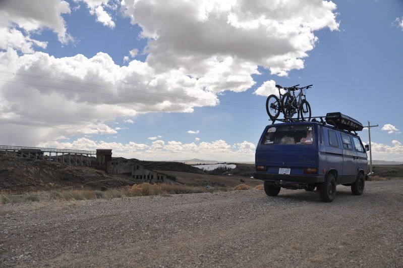
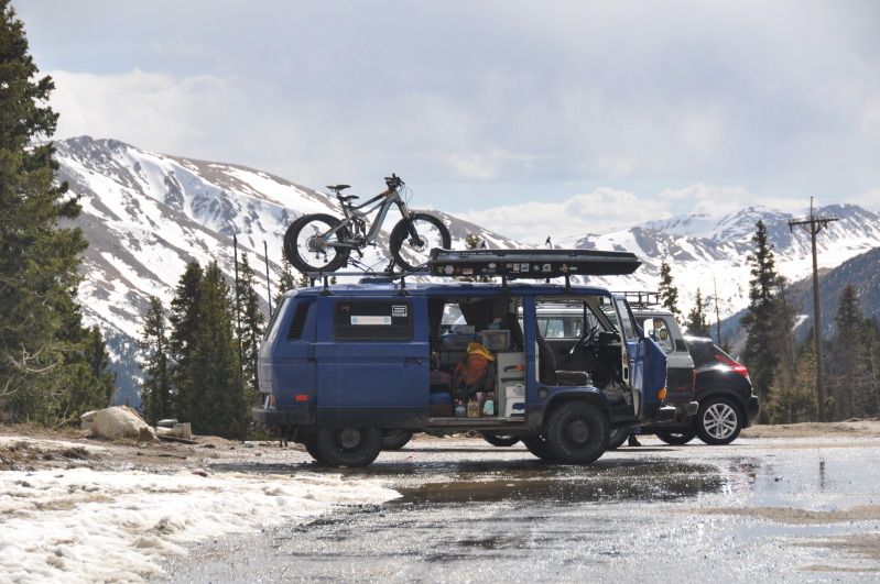
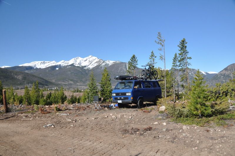
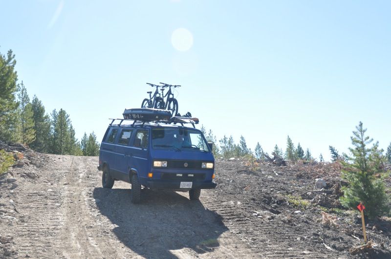
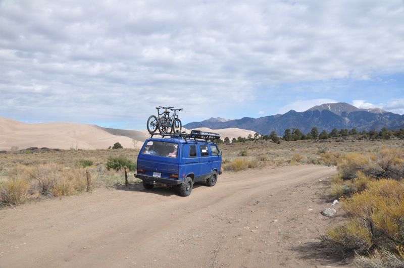
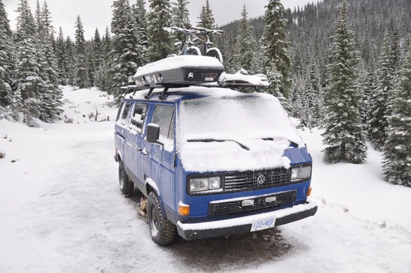
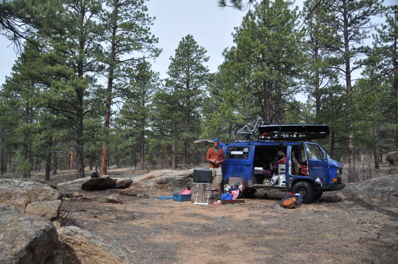
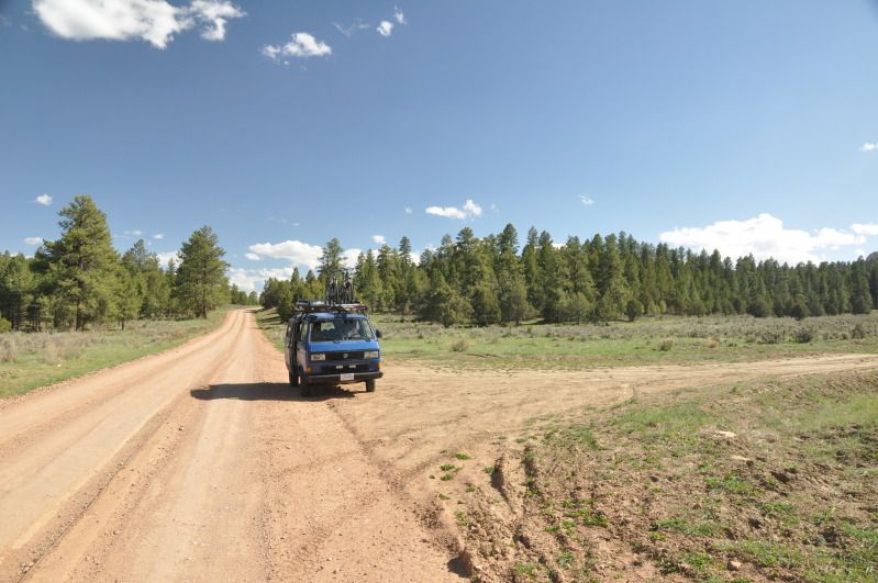
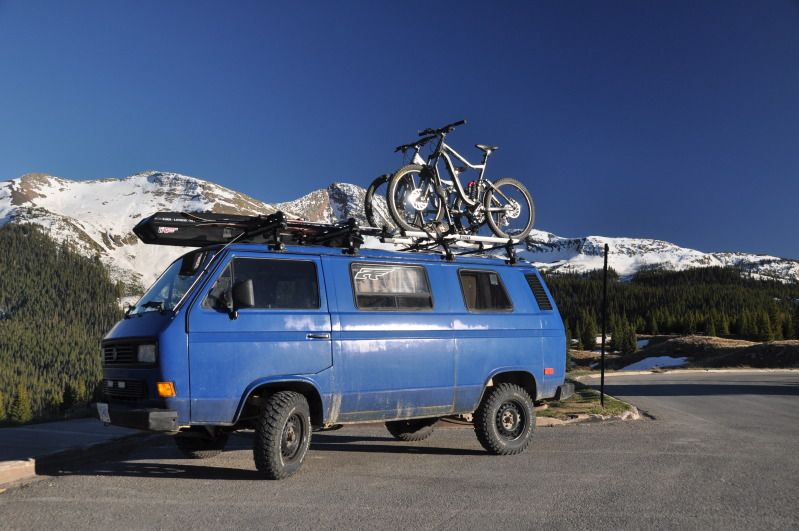
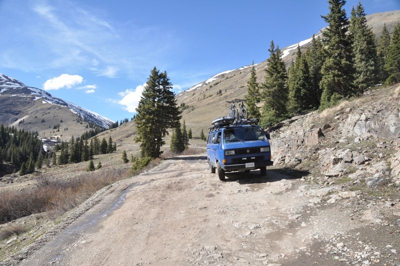
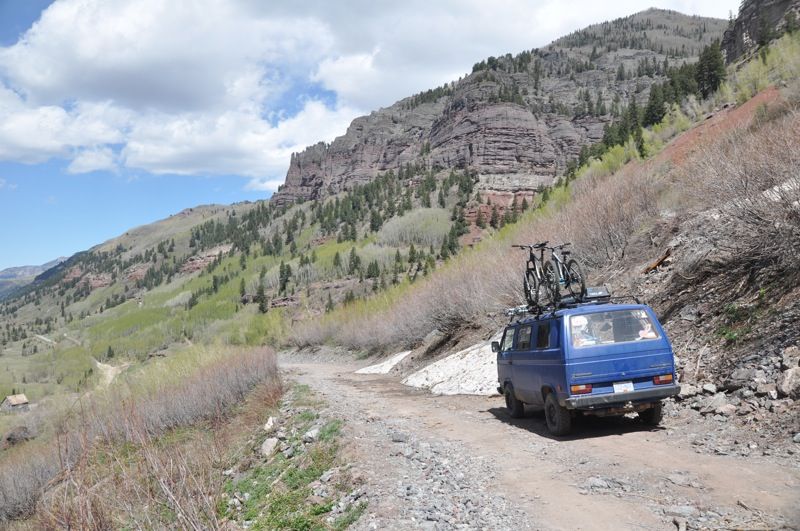
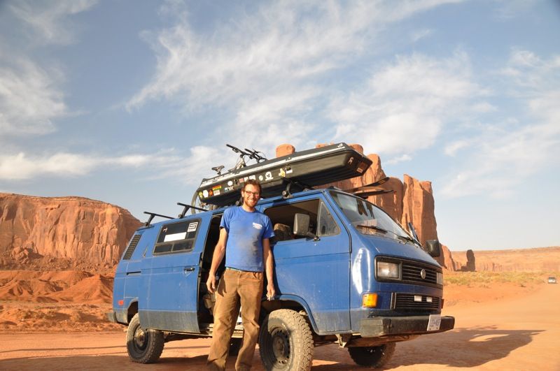
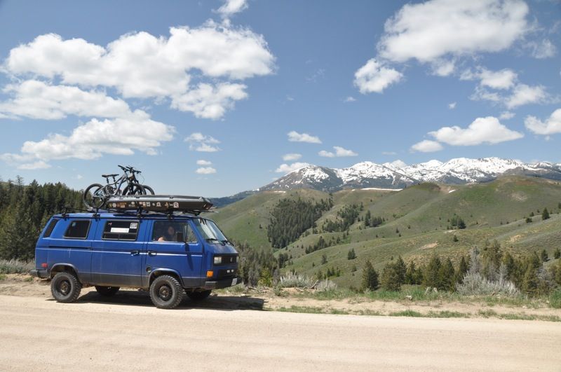
THe vehicle:
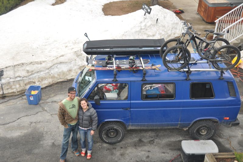
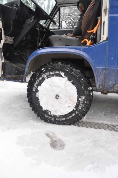
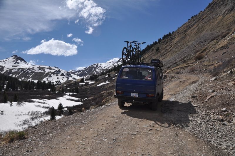
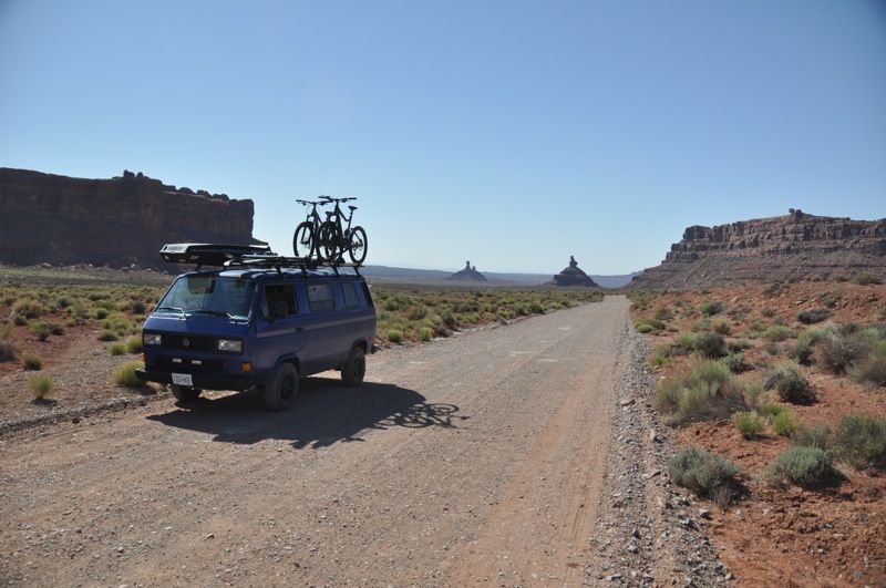
1987 VW Vanagon
2wd
Limited Slip rear diff
3" lift, new suspension all around
225/75 R15 BFG MT KM2s
2009 2.5L subaru engine swap (170hp)
dual batteries
fridge (truckfridge TF49)
on board air
thule rack setup
400W inverter
two hidden lockboxes and fuel kill switch
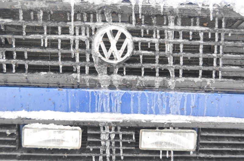
custom painted (interlux brightside roller job)
THE TRIP
10200km
BC, WA, ID, MT, WY, CO, NM, UT, AZ, CA, OR
Anyway we set off from BC in mid april, stoked to get away from it all. Headed through spokane and then hit I-90 for the fourth time in four years. Needless to say we just motored east and south.
Continental divide crossing #1 Homestake Pass, MT 6368'
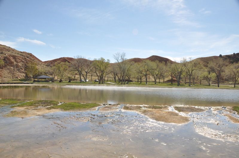
Our first real stop was thermopolis WY, for some much needed hot springs soaking. Theres a state run free hot springs, as well as several other commercial springs. Cool spot.
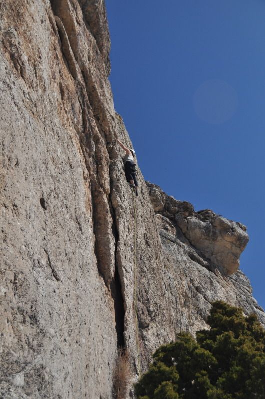
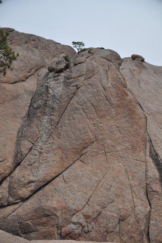
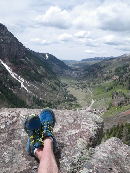
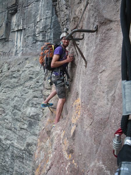
A day or so later we followed the Wind River canyon south to Lander, WY for a bit of spring rock climbing
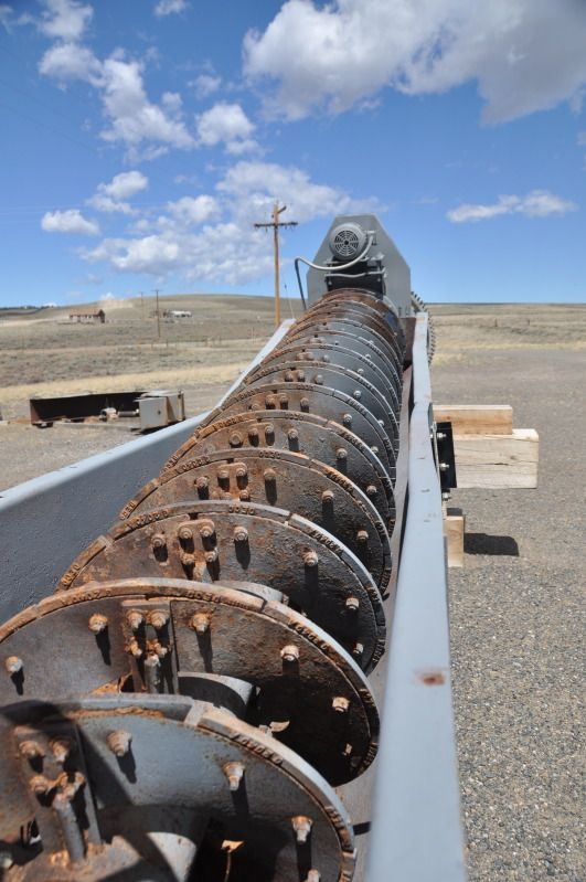
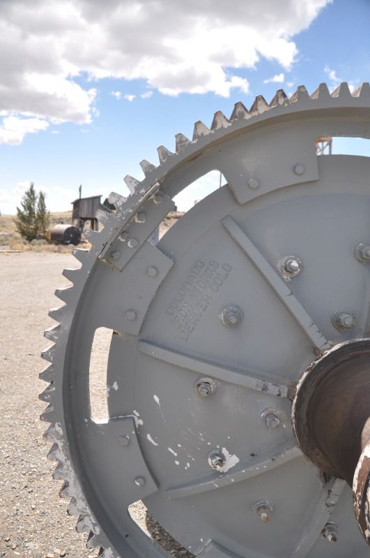
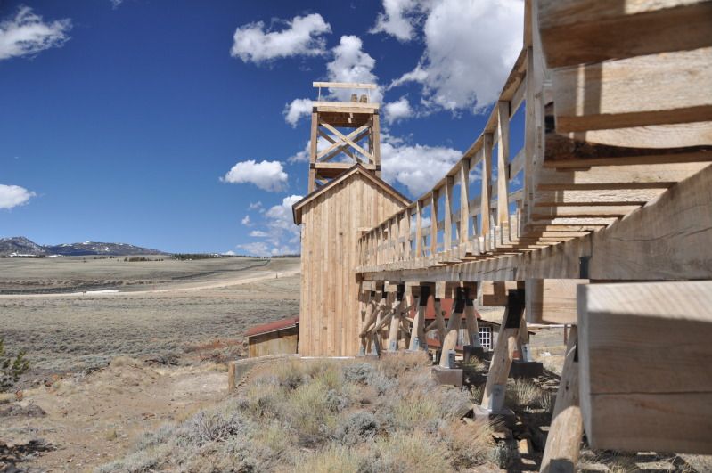
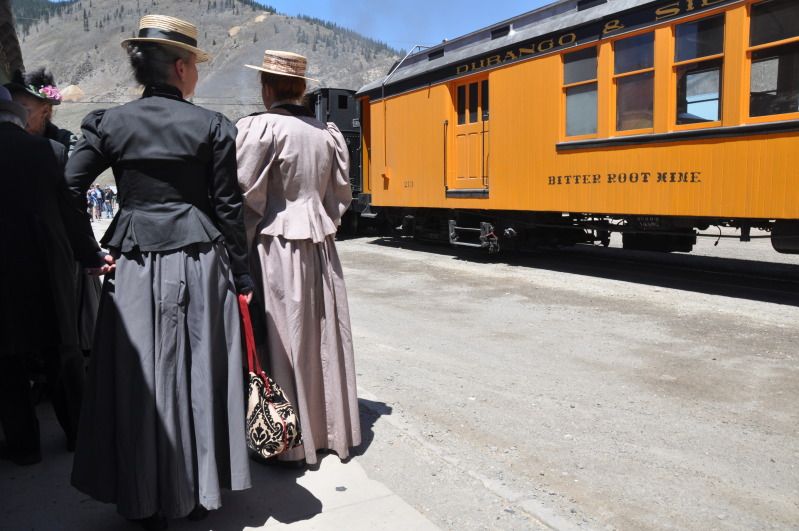
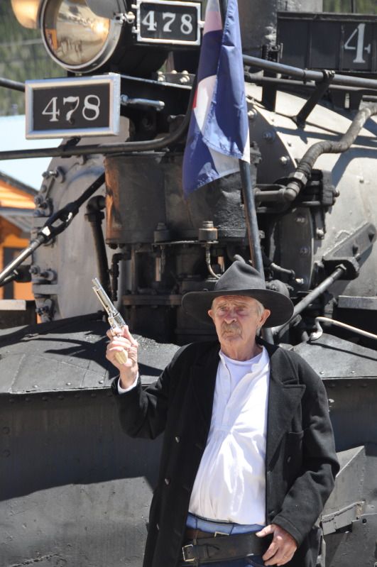
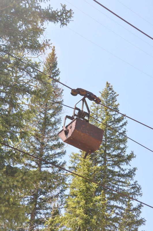
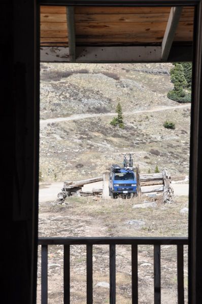
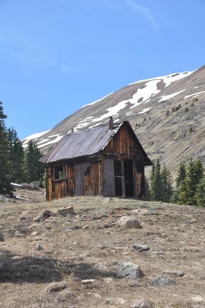
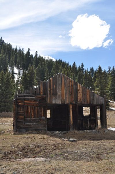
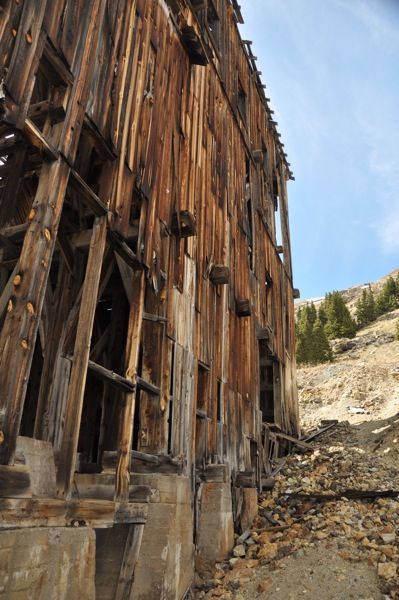
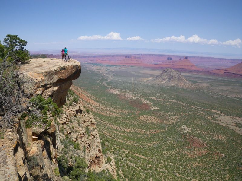
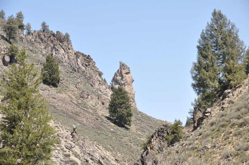
After a great couple days in Lander climbing and biking we headed up to Atlantic City and South pass city. Two super cool abandoned/semi-abandoned mining towns up in near alpine, with some awesome old restored mines. Both of us being geologists, we were of course interested, and followed our trusty delorme gazetter all over the place looking at old mine sites.
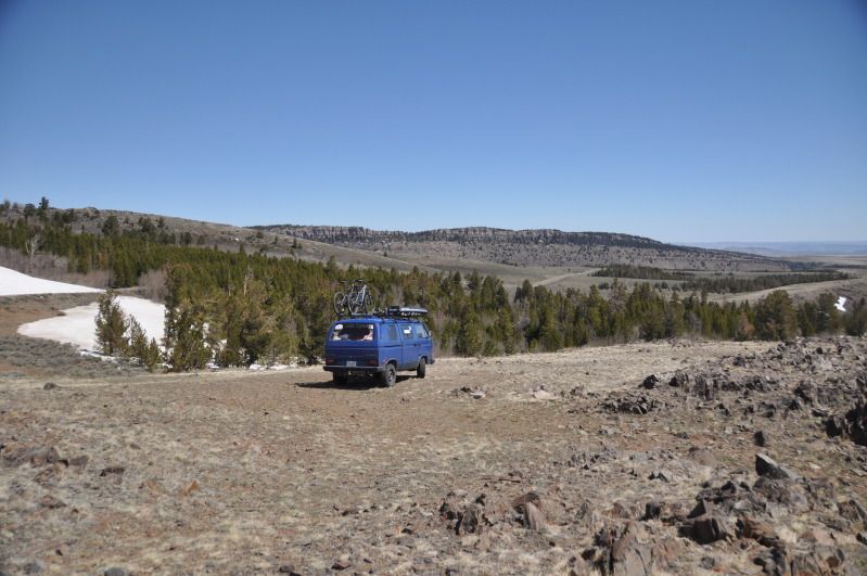
The views were ok
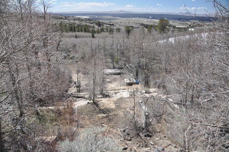
Got turned around due to snow, and found this cool foundation on the side of the road
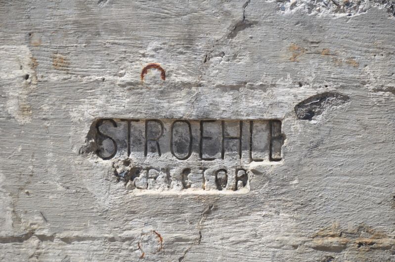
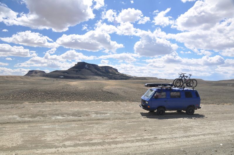
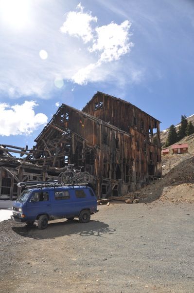
This was a highlight, i forget the name of the mine, but its near south pass city, and nicely restored.
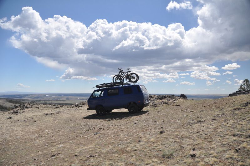
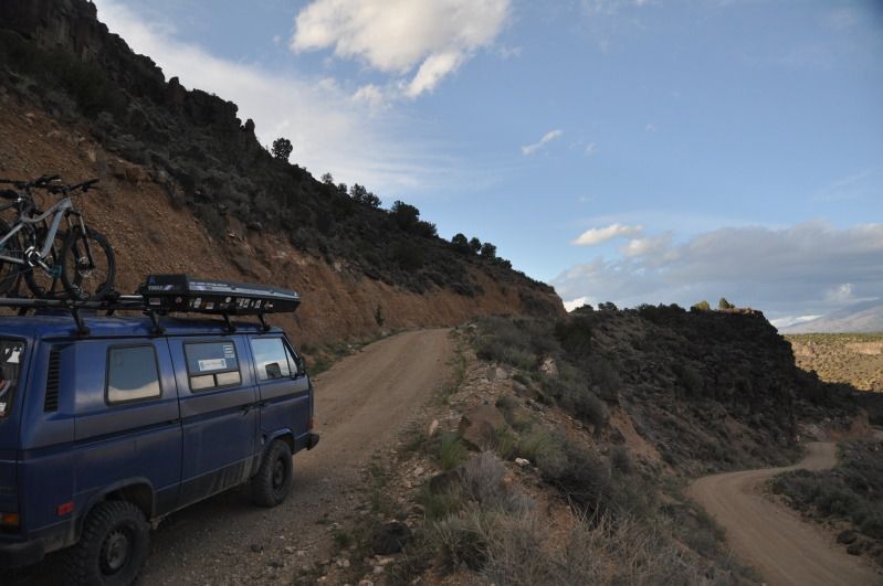
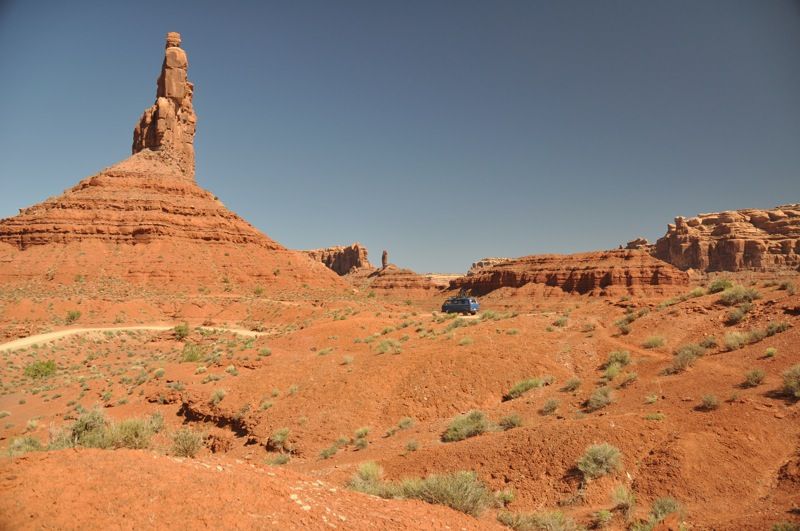
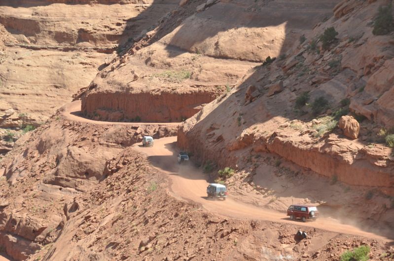
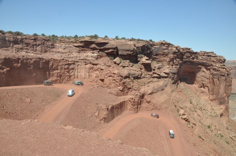
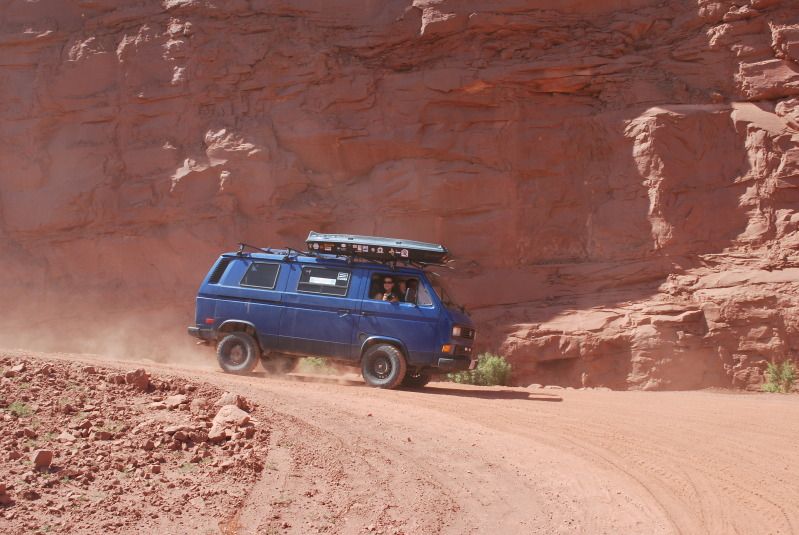
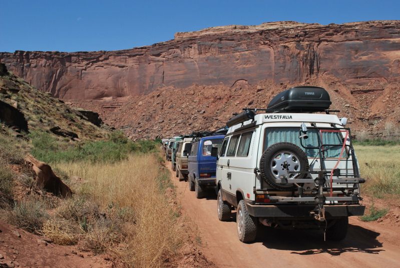
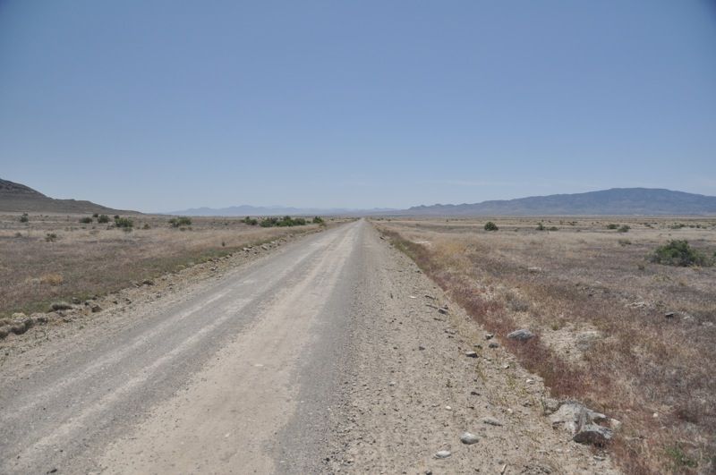
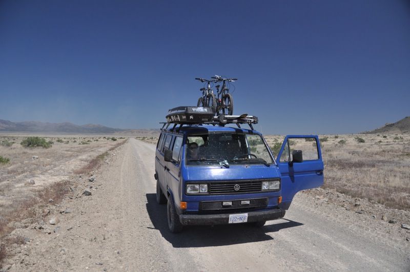
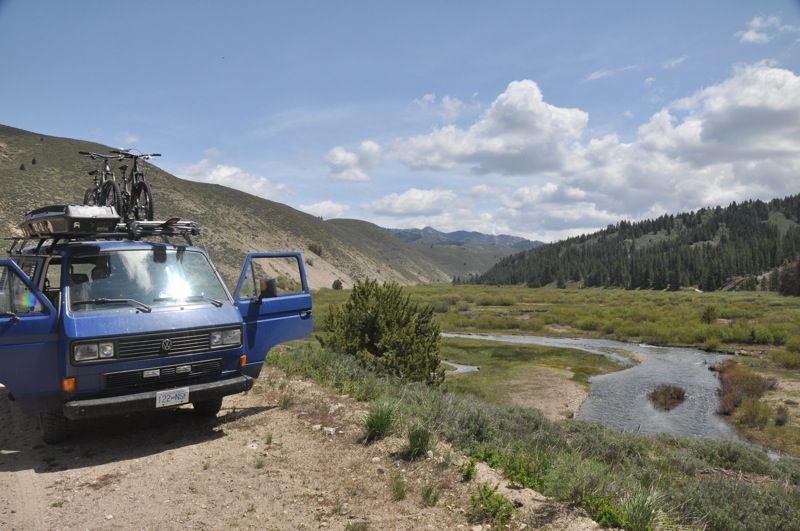
From there, we decided to set out through a unique geographical feature, the continental divide basin. Water within this basin flows into the centre and evaporates, as it is extremely arid. Its a high desert feature, and at least 100mi by 50mi in size or so. Also, we are suckers for any place where it says "inquire locally for current local conditions before driving on any unimproved roads shown on this map" especially when said roads take off through the desert. Now we are adventuring!
Continental Divide crossing #2 South Pass, WY 7550'
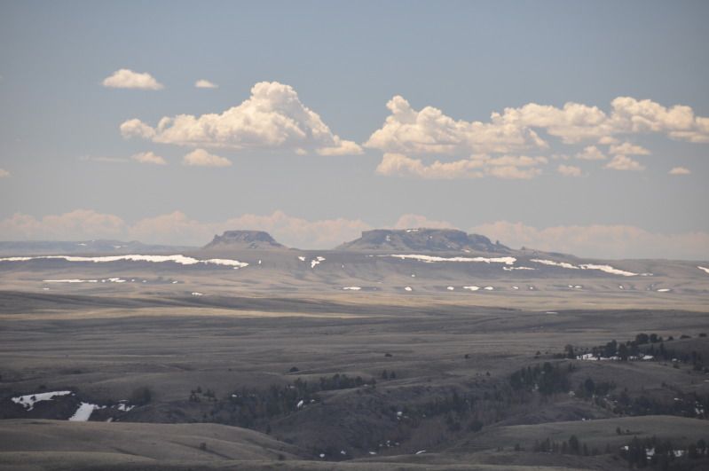
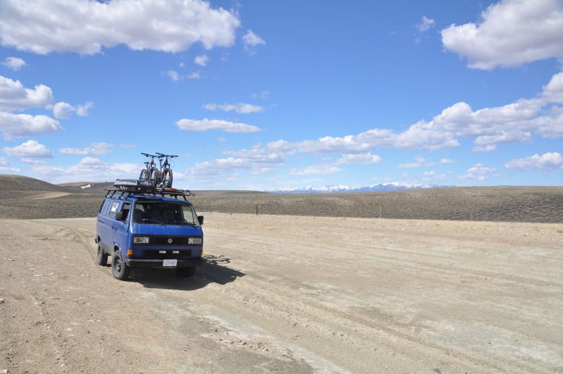
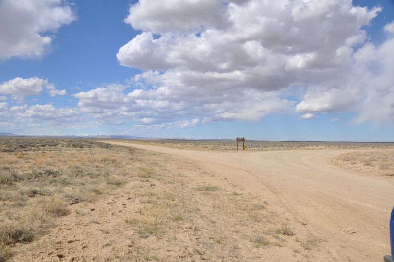
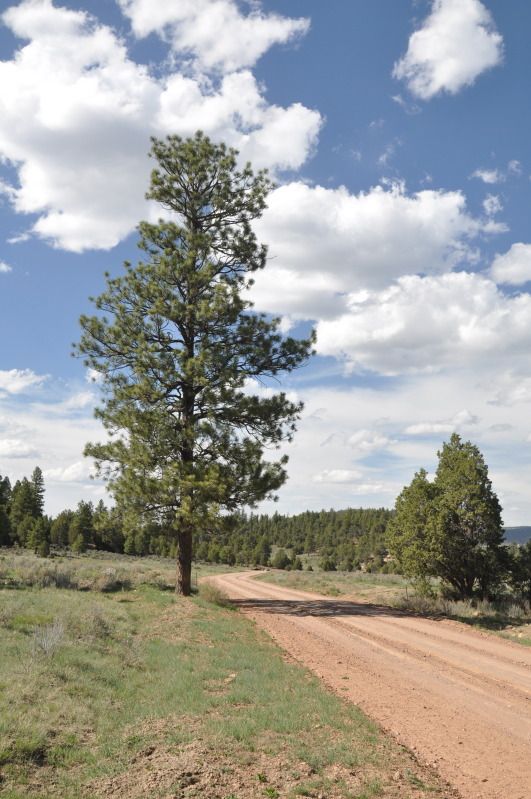
the middle of 3-4 hours of dirt roads. Super desolate and yet beautiful.
home on the range, where the antelope roam
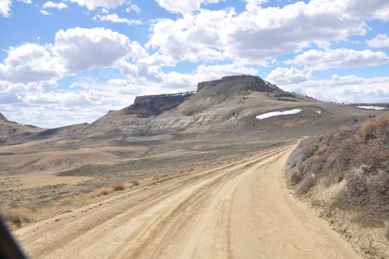
road was pretty decent, but like the map hinted, it looks like it would get dicey if it rained. Luckily skies were blue, so onwards we pressed.
remote is the key word here
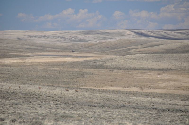
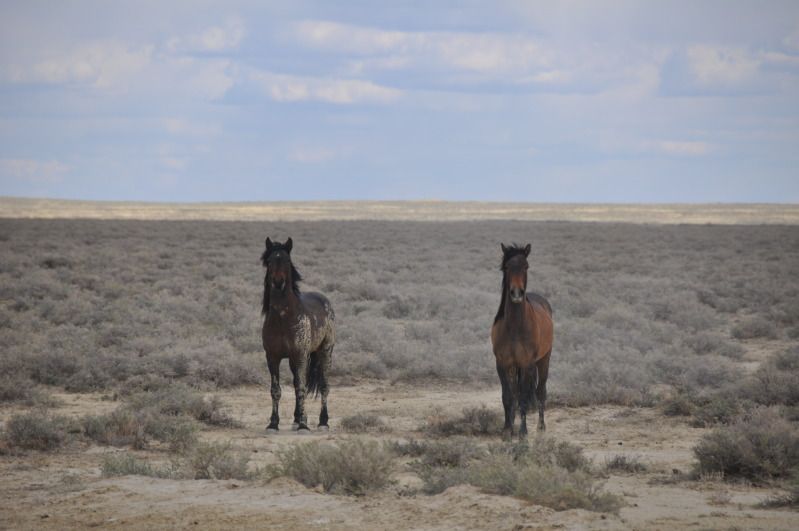
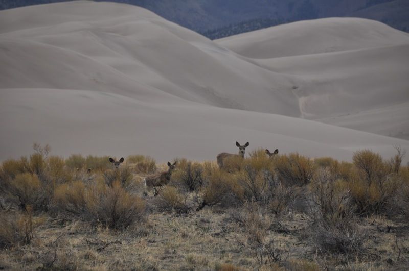
So part of the reason we were stoked on the area was the herds of antelope and wild horses that wikipedia told us we would encounter in the great divide basin. After 2-3 hours, the horses finally appeared, and they sure looked wild and beautiful
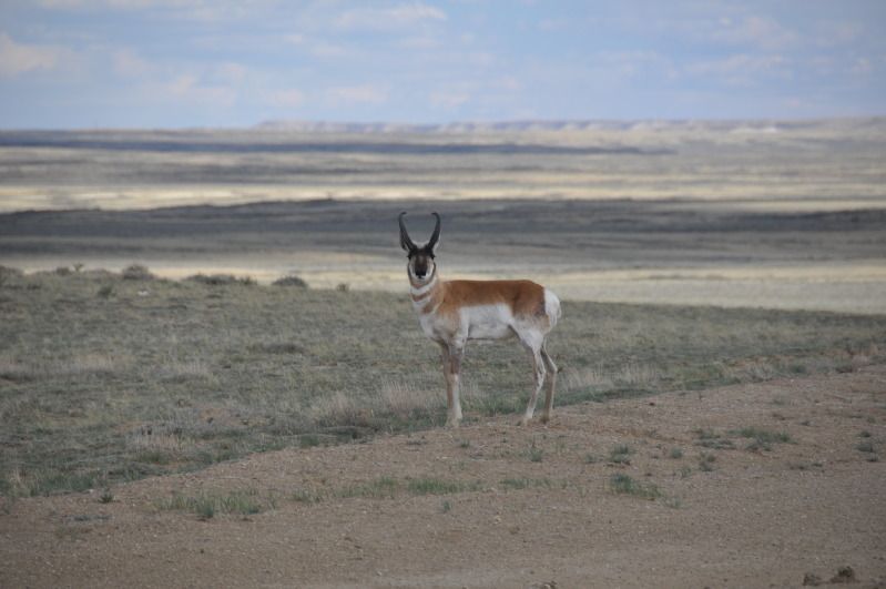
plenty of antelope.
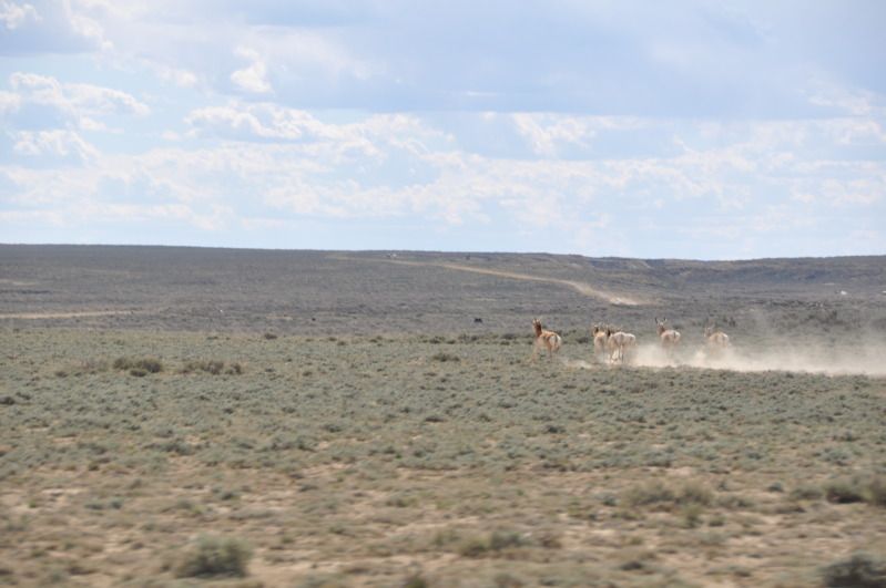
judging by how skittish they were, dont think they see many cars. In our 3+ hours crossing the basin, we saw one other vehicle.
Anyway we continued south and out of the basin onto I-80 briefly. From there it was south into colorado
Continental Divide crossing #3: Unnamed pass, WY on highway 789. maybe 5500-6500'?
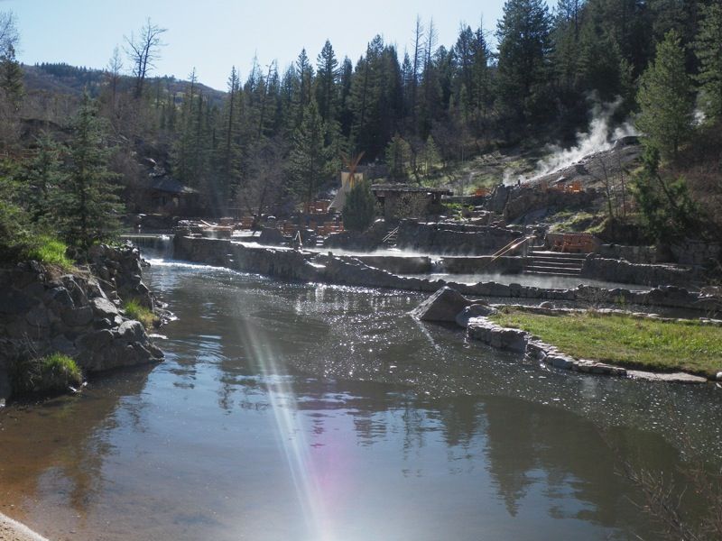
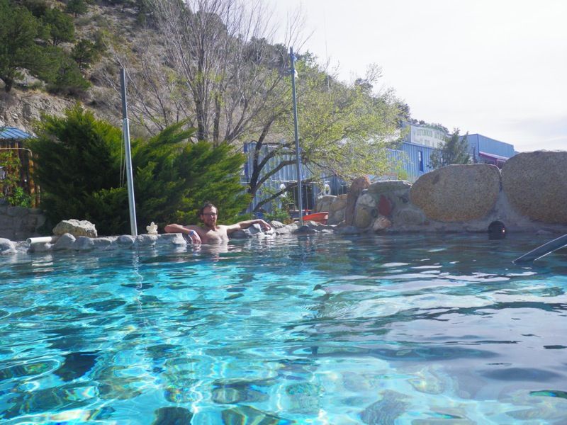
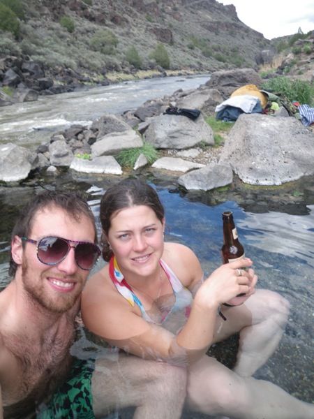
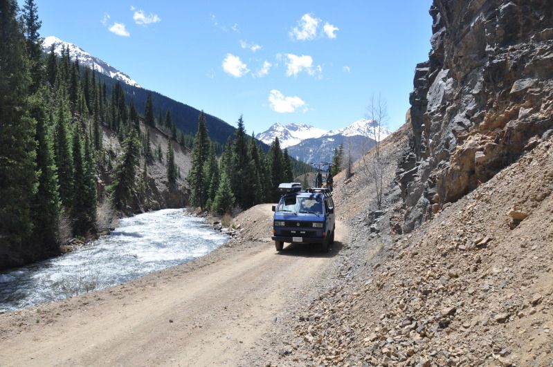
So, in preparation for this trip, id spent hours and hours reading old trip reports on Expo, and somewhere buried in someones trip report was a mention of Strawberry Hot Springs. Based on this, we made a trip through steamboat, CO and north to Strawberry HOt Springs, where we found a level place to park the van, and paid to enter the springs. Kim and I have been to somewhere around 35 hot springs around the world, and let me say that strawberry is top 3 for commercial springs for sure. Amazing venue, and although i hear it gets busy, we were april midweek and had the place nearly to ourselves.
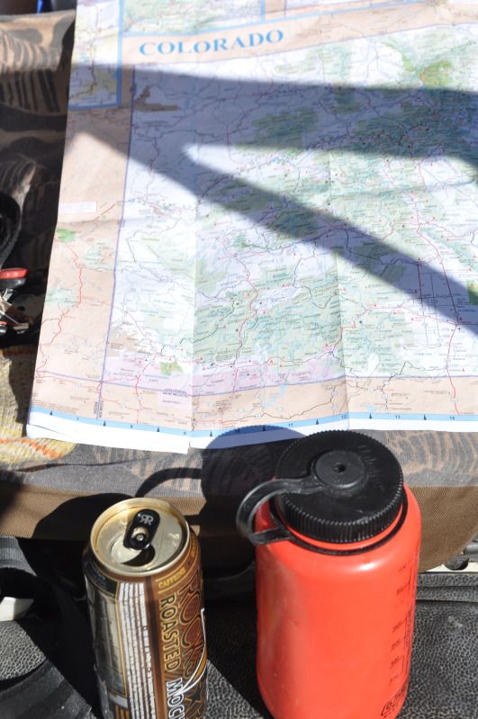
a common morning activity, caffienating and looking at maps.
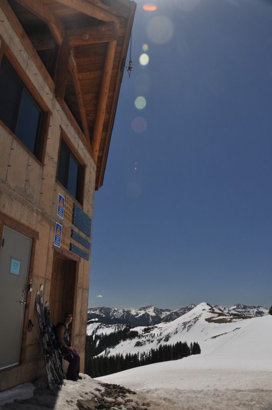
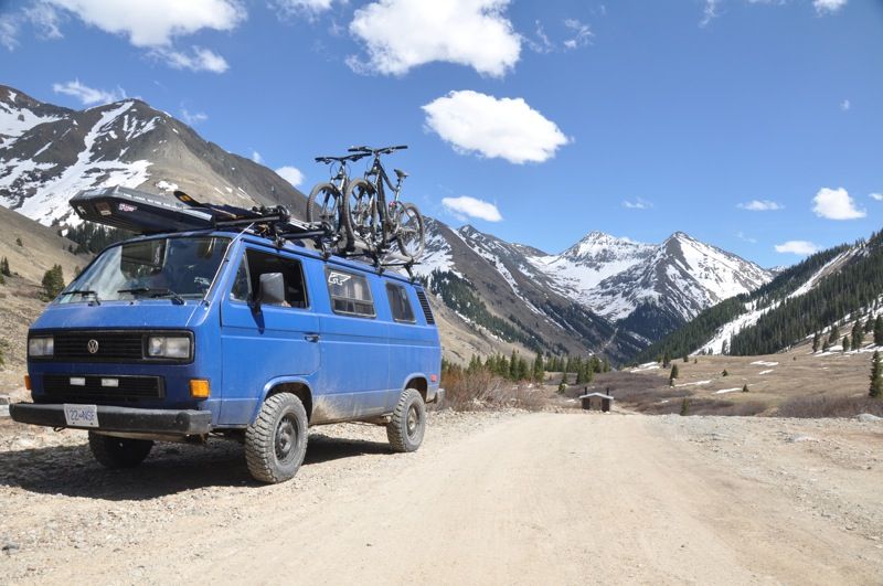
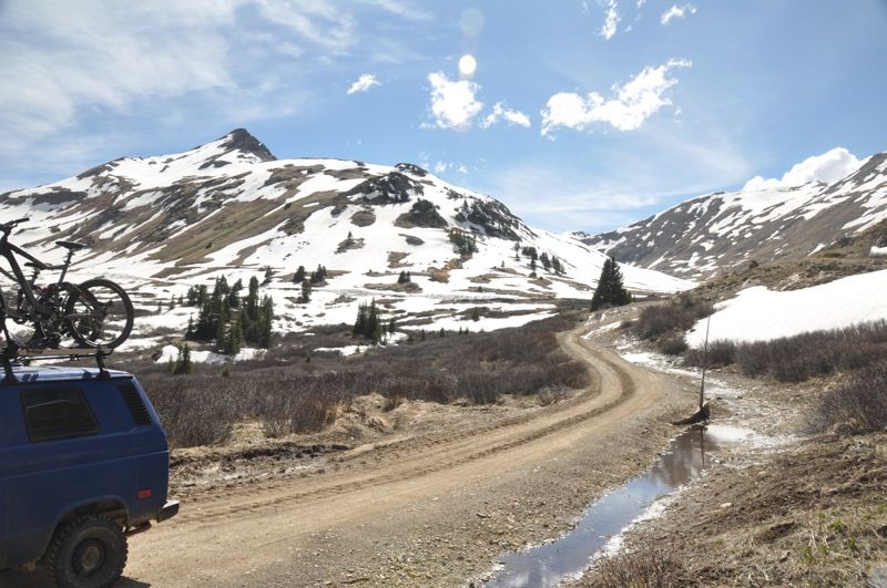
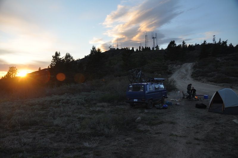
From steamboat we wanted to head over to Berthoud pass to try and get some late season skiing in.
On the way, we hit the divide again
Continental Divide crossing #4: Muddy Pass, CO: 8722'
Ironically we left BC after our best winter in 10 years, to ski CO in the worst winter in years. Oh well, fun to get some sunshine at least.
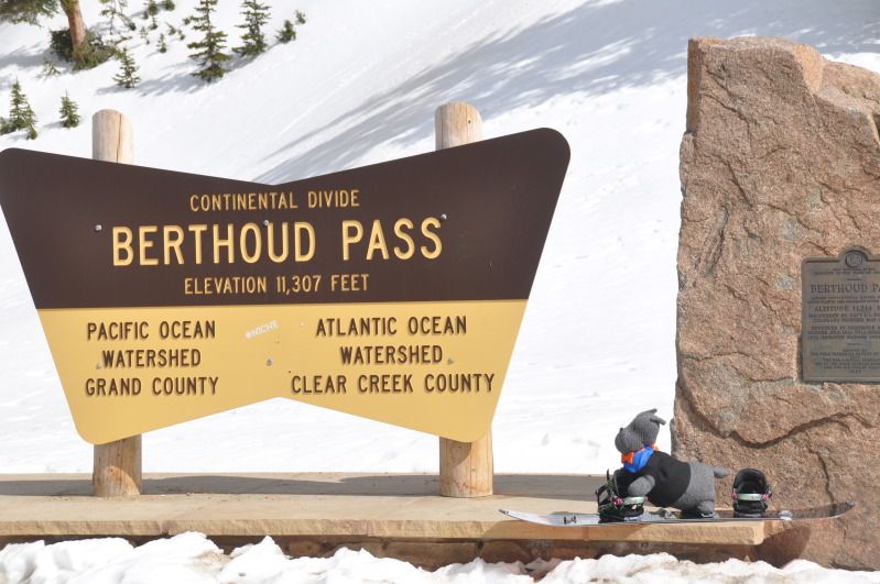
Continent
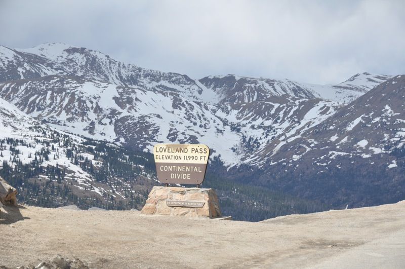
Continental Divide crossing #5: Berthoud Pass, CO: 11,315'
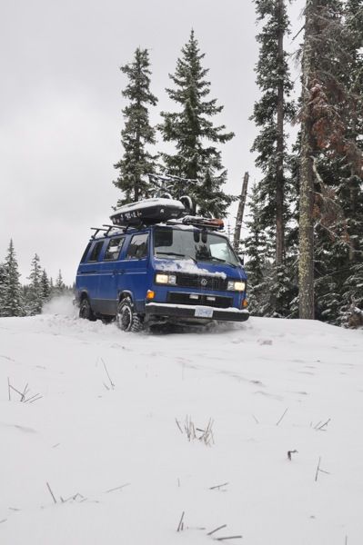
I think this is the highest elevation the van has ever been to! The suby just purrs away, and damn is it ever nice to be able to climb hills in 3rd gear at the speed limit, instead of 2nd gear at 30mph (lets just say the stock 90hp didnt quite cut it)
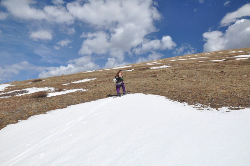
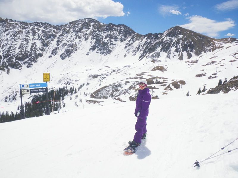
we toured up until we hit grass (******) and then crushed a few beers and skiied down
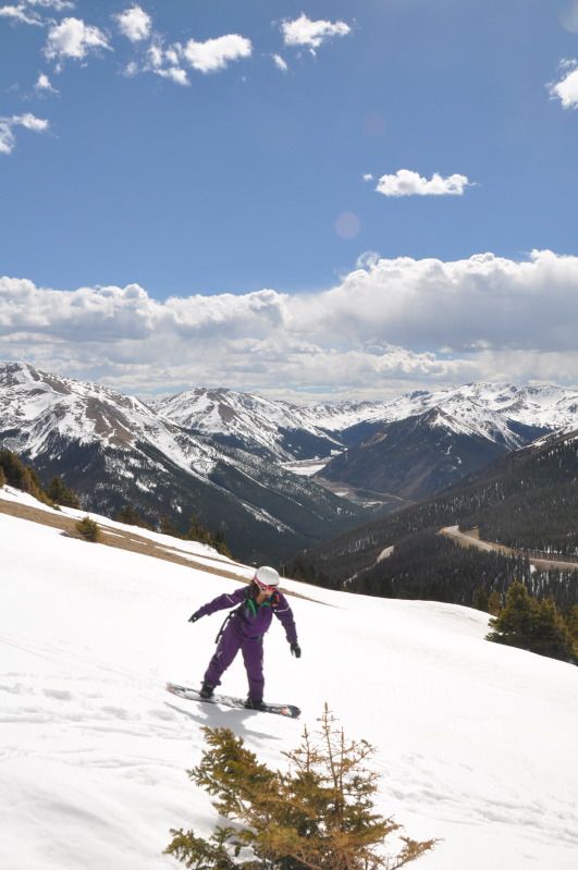
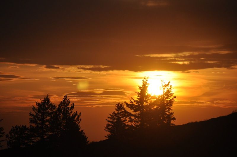
beatiful scenery
Hey Everyone.
Long time lurker, first time posting a TR on here. So yeah, my girl and I got married in april at home in Rossland BC at the ski hill. Decided to head south afterwards for a few weeks to catch some sunshine, do some exploring, and have a chill honeymoon. Rough plan was head to the four corners region and back. After a few days, we realized we were pretty much following the continental divide, so that became kind of a theme of our trip. Anyway, a little background:
THe vehicle:
1987 VW Vanagon
2wd
Limited Slip rear diff
3" lift, new suspension all around
225/75 R15 BFG MT KM2s
2009 2.5L subaru engine swap (170hp)
dual batteries
fridge (truckfridge TF49)
on board air
thule rack setup
400W inverter
two hidden lockboxes and fuel kill switch
custom painted (interlux brightside roller job)
THE TRIP
10200km
BC, WA, ID, MT, WY, CO, NM, UT, AZ, CA, OR
Anyway we set off from BC in mid april, stoked to get away from it all. Headed through spokane and then hit I-90 for the fourth time in four years. Needless to say we just motored east and south.
Continental divide crossing #1 Homestake Pass, MT 6368'
Our first real stop was thermopolis WY, for some much needed hot springs soaking. Theres a state run free hot springs, as well as several other commercial springs. Cool spot.
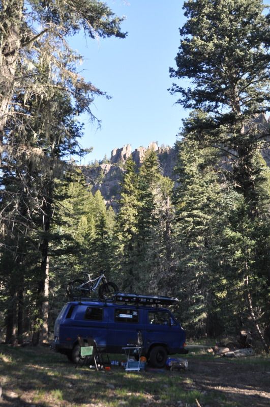
A day or so later we followed the Wind River canyon south to Lander, WY for a bit of spring rock climbing
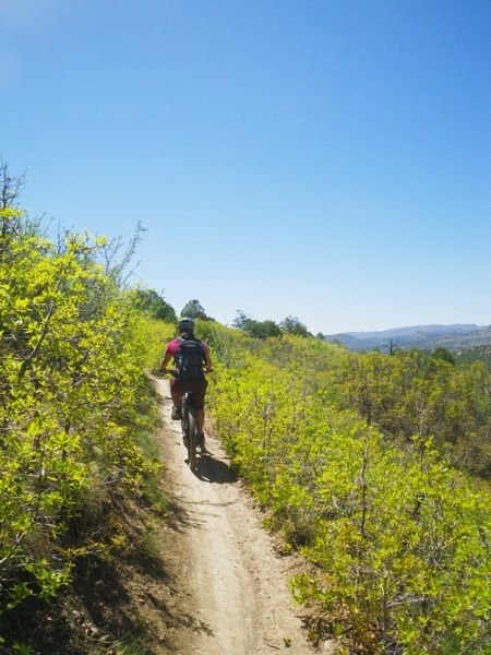
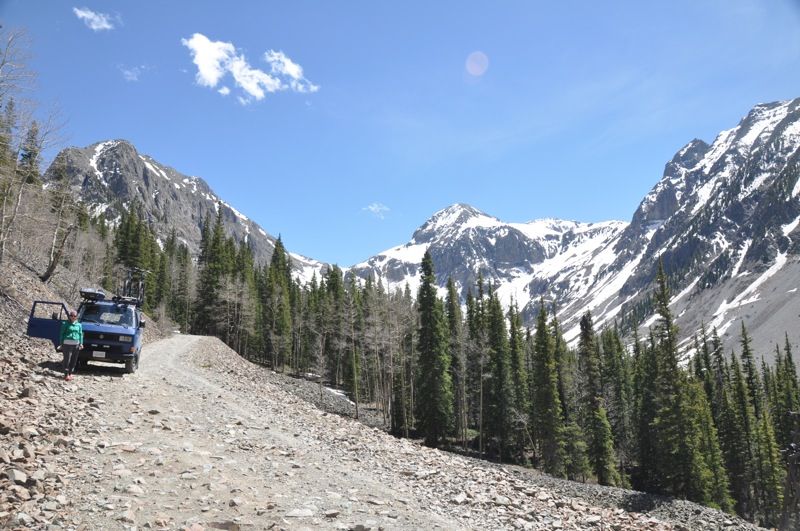
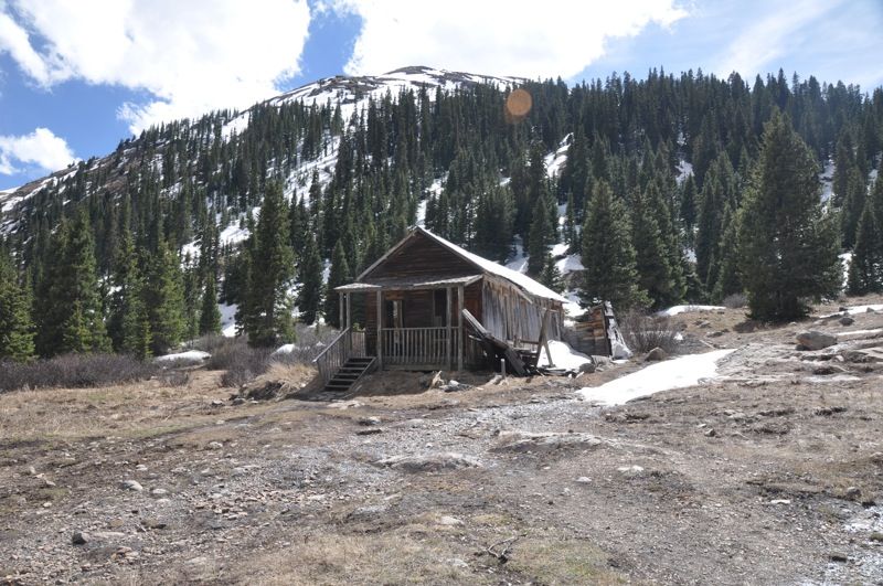
After a great couple days in Lander climbing and biking we headed up to Atlantic City and South pass city. Two super cool abandoned/semi-abandoned mining towns up in near alpine, with some awesome old restored mines. Both of us being geologists, we were of course interested, and followed our trusty delorme gazetter all over the place looking at old mine sites.
The views were ok
Got turned around due to snow, and found this cool foundation on the side of the road
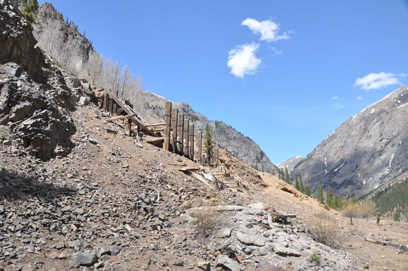
This was a highlight, i forget the name of the mine, but its near south pass city, and nicely restored.
From there, we decided to set out through a unique geographical feature, the continental divide basin. Water within this basin flows into the centre and evaporates, as it is extremely arid. Its a high desert feature, and at least 100mi by 50mi in size or so. Also, we are suckers for any place where it says "inquire locally for current local conditions before driving on any unimproved roads shown on this map" especially when said roads take off through the desert. Now we are adventuring!
Continental Divide crossing #2 South Pass, WY 7550'
the middle of 3-4 hours of dirt roads. Super desolate and yet beautiful.
home on the range, where the antelope roam
road was pretty decent, but like the map hinted, it looks like it would get dicey if it rained. Luckily skies were blue, so onwards we pressed.
remote is the key word here
So part of the reason we were stoked on the area was the herds of antelope and wild horses that wikipedia told us we would encounter in the great divide basin. After 2-3 hours, the horses finally appeared, and they sure looked wild and beautiful
plenty of antelope.
judging by how skittish they were, dont think they see many cars. In our 3+ hours crossing the basin, we saw one other vehicle.
Anyway we continued south and out of the basin onto I-80 briefly. From there it was south into colorado
Continental Divide crossing #3: Unnamed pass, WY on highway 789. maybe 5500-6500'?
So, in preparation for this trip, id spent hours and hours reading old trip reports on Expo, and somewhere buried in someones trip report was a mention of Strawberry Hot Springs. Based on this, we made a trip through steamboat, CO and north to Strawberry HOt Springs, where we found a level place to park the van, and paid to enter the springs. Kim and I have been to somewhere around 35 hot springs around the world, and let me say that strawberry is top 3 for commercial springs for sure. Amazing venue, and although i hear it gets busy, we were april midweek and had the place nearly to ourselves.
a common morning activity, caffienating and looking at maps.
From steamboat we wanted to head over to Berthoud pass to try and get some late season skiing in.
On the way, we hit the divide again
Continental Divide crossing #4: Muddy Pass, CO: 8722'
Ironically we left BC after our best winter in 10 years, to ski CO in the worst winter in years. Oh well, fun to get some sunshine at least.
Continent
Continental Divide crossing #5: Berthoud Pass, CO: 11,315'
I think this is the highest elevation the van has ever been to! The suby just purrs away, and damn is it ever nice to be able to climb hills in 3rd gear at the speed limit, instead of 2nd gear at 30mph (lets just say the stock 90hp didnt quite cut it)
we toured up until we hit grass (******) and then crushed a few beers and skiied down
beatiful scenery
")